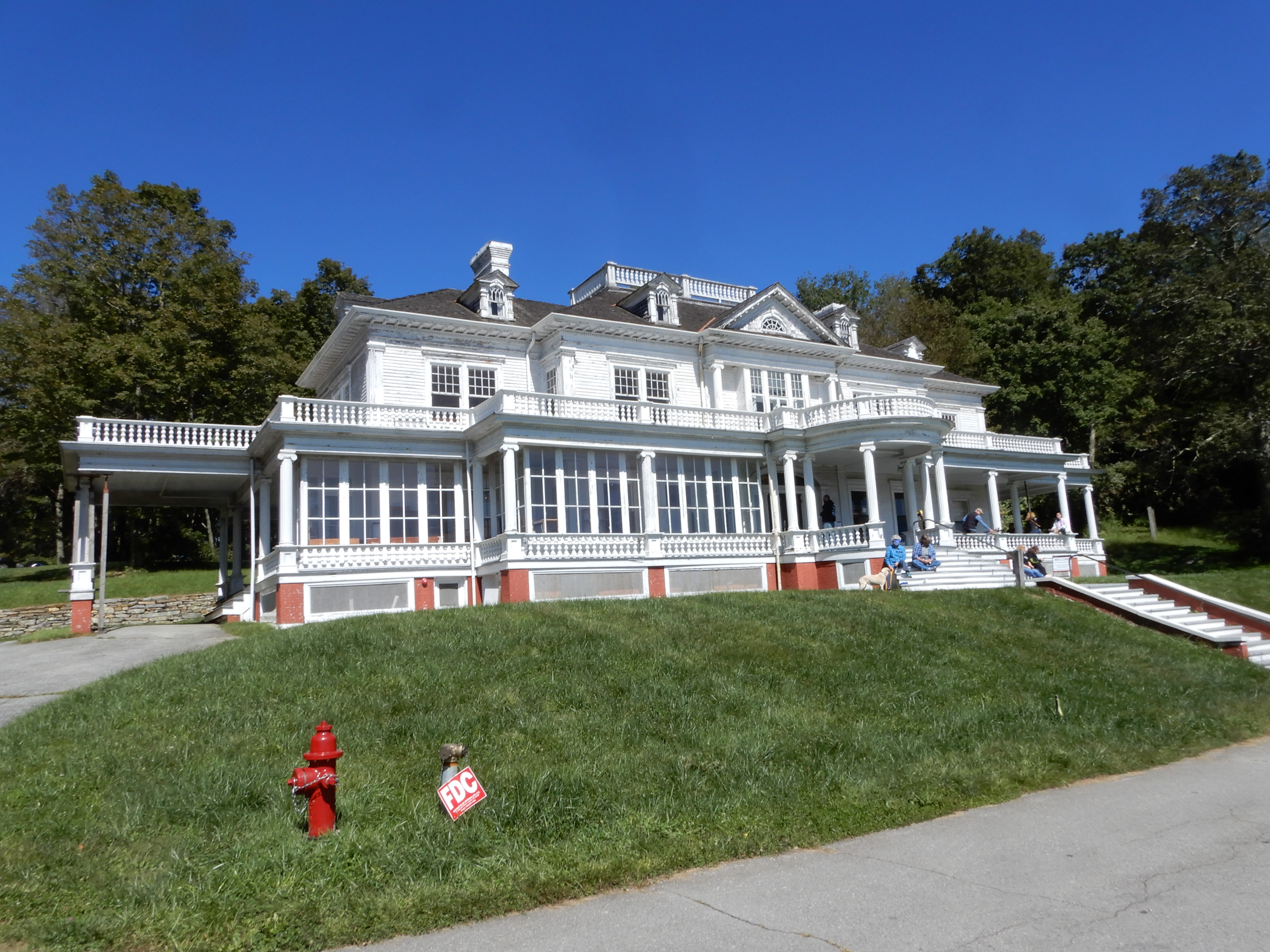
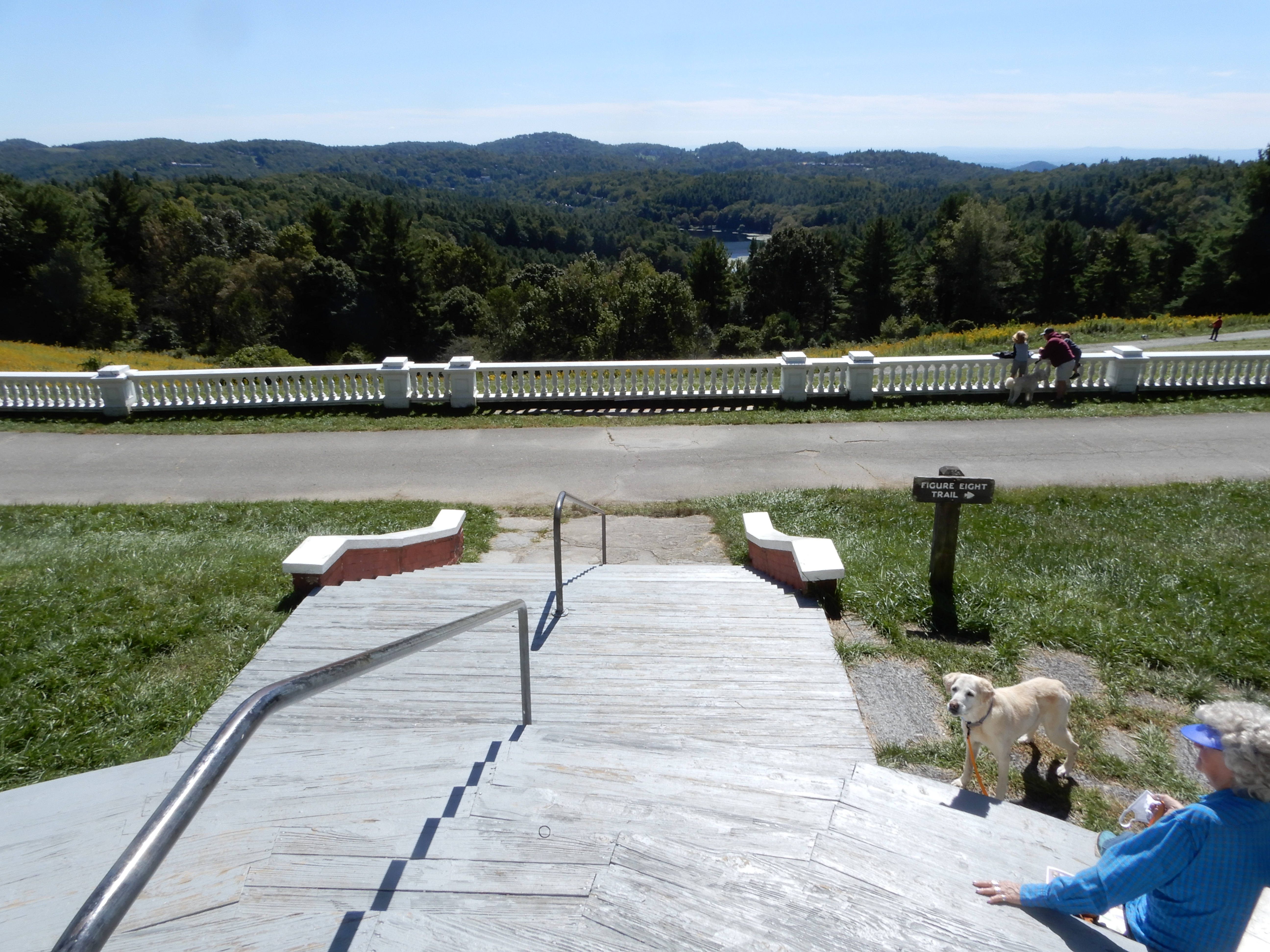
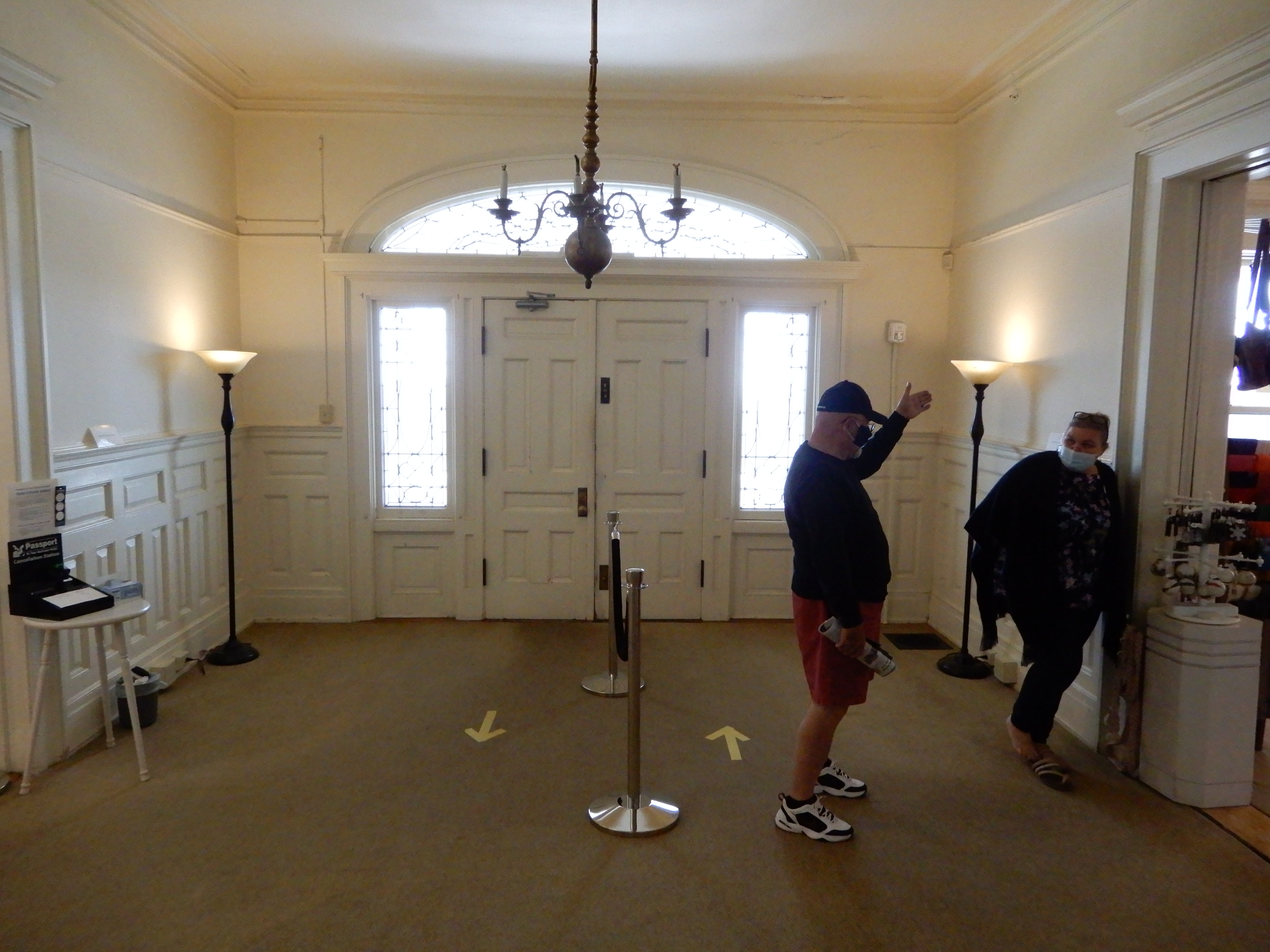
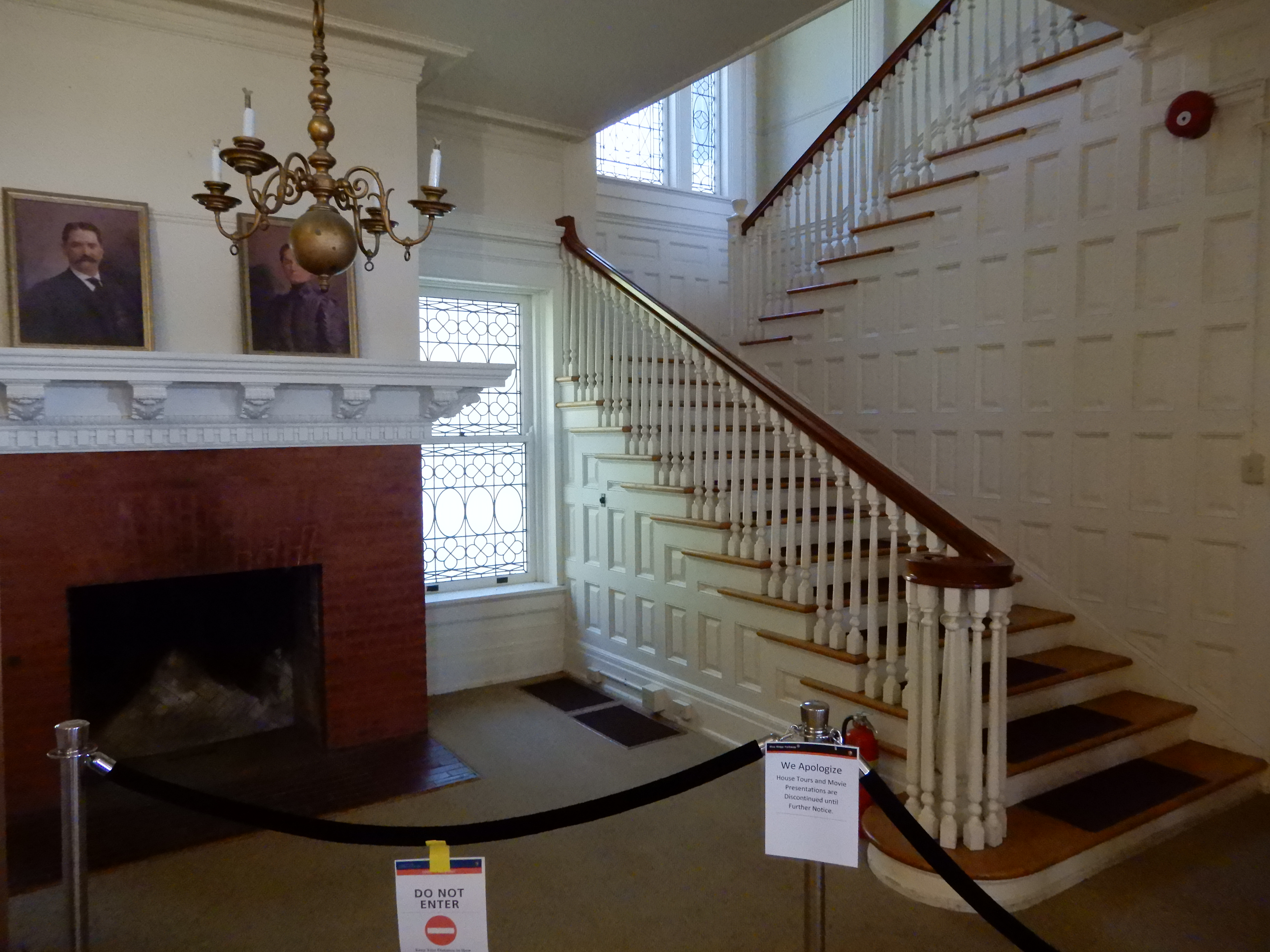
Well rested from our hike, we drove on to Moses H. Cone Park. It was very crowded, we were lucky to find a parking space. We toured the home.
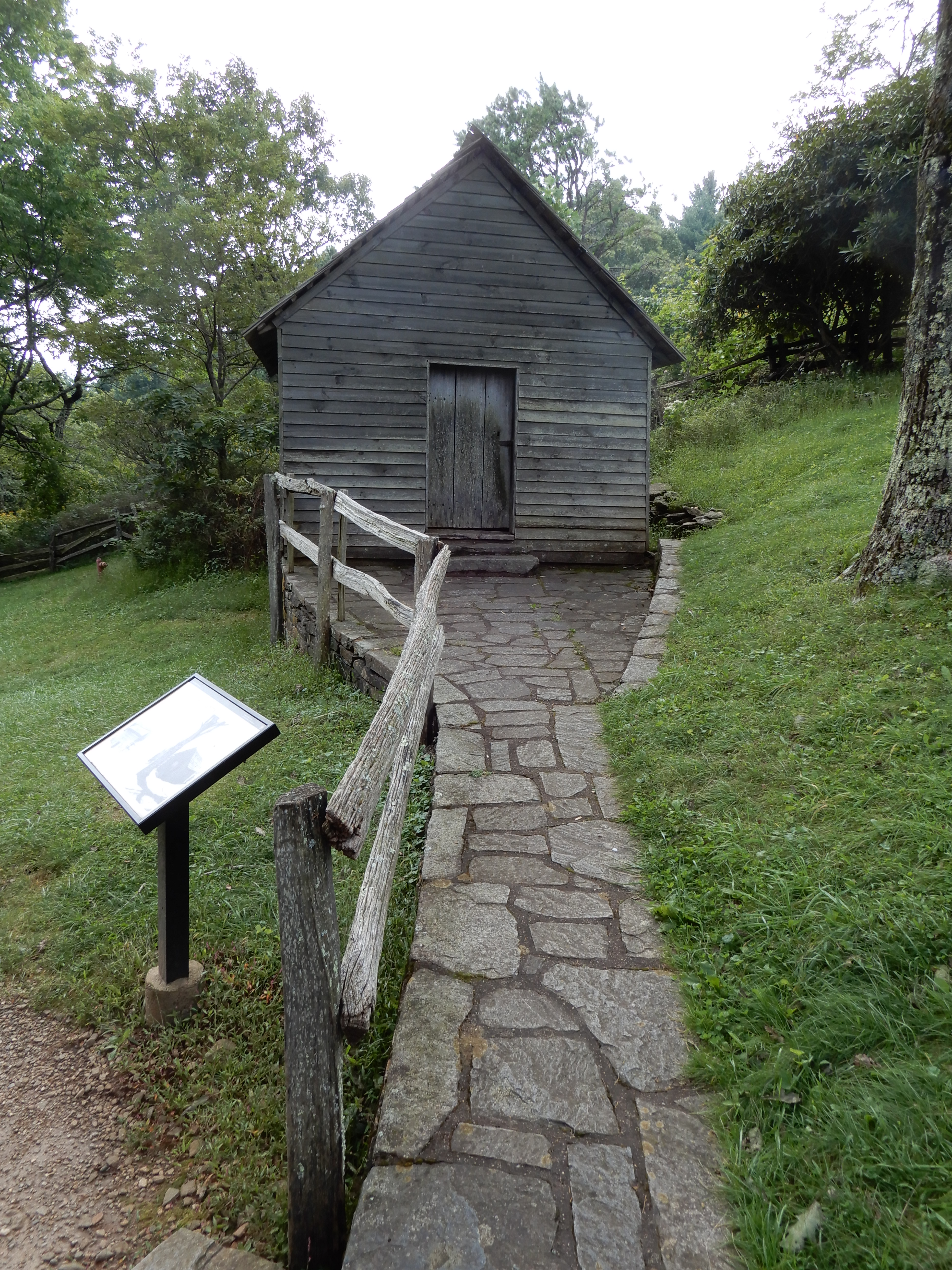
Then walked around to see other buildings.
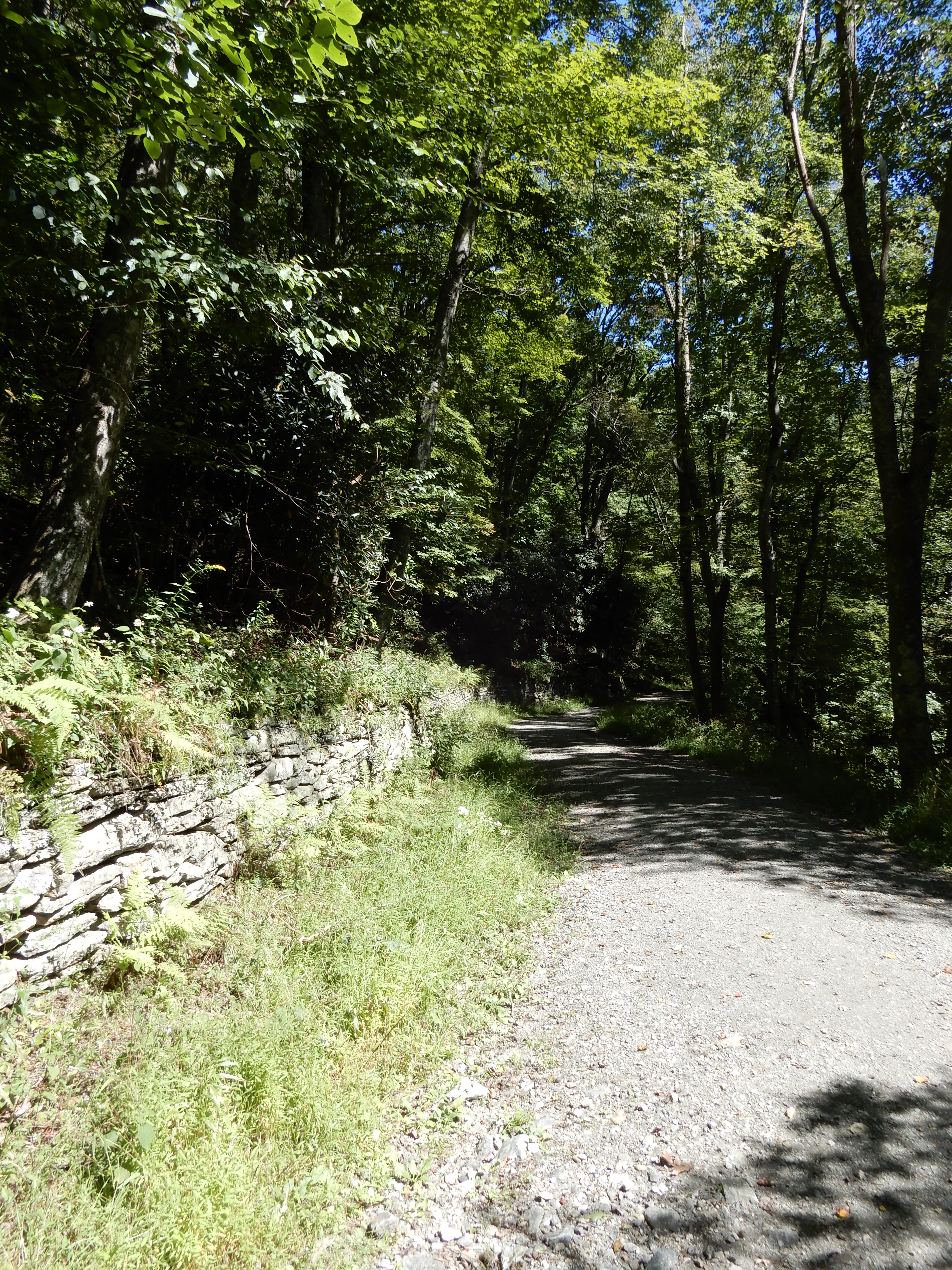
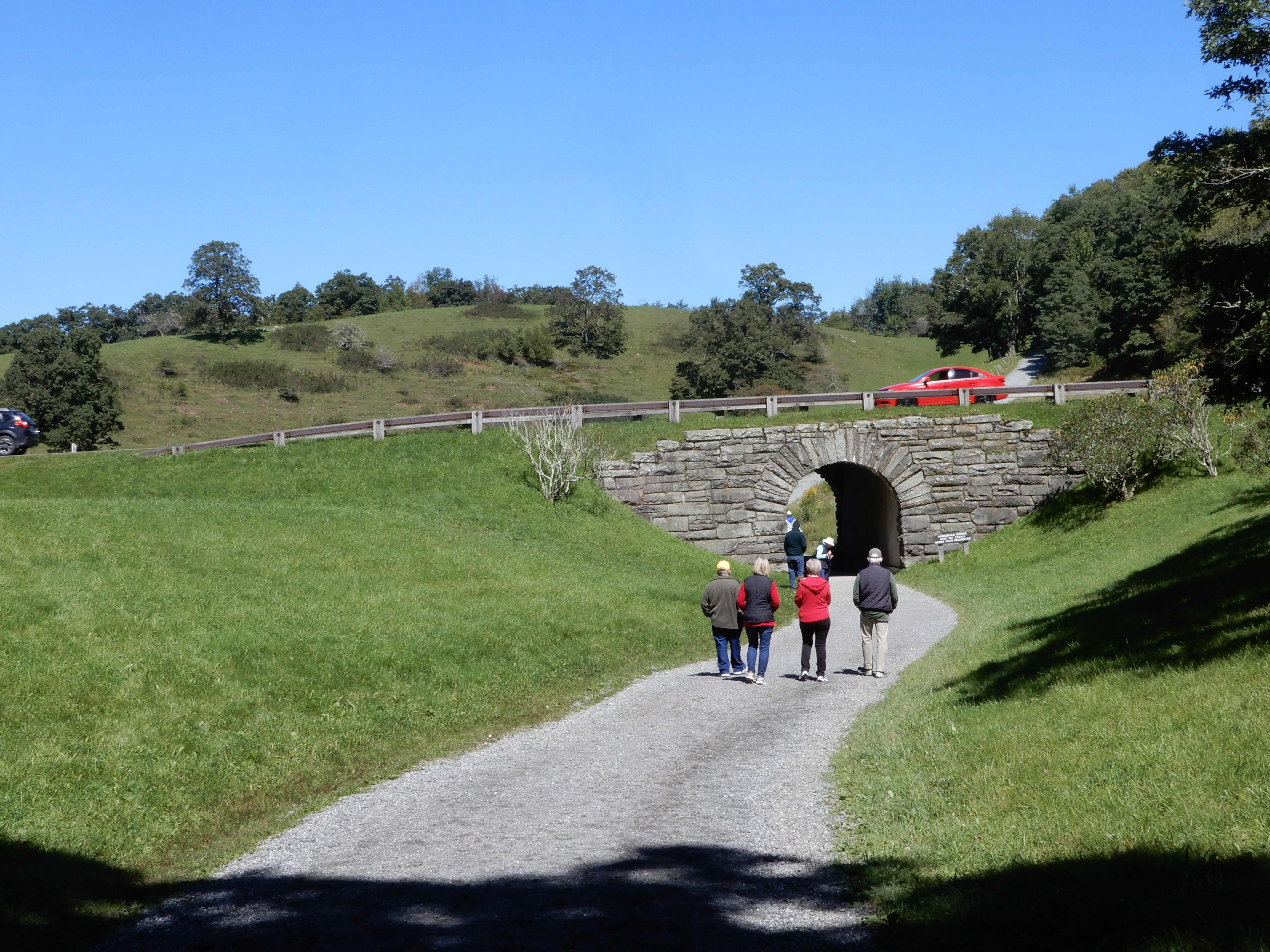
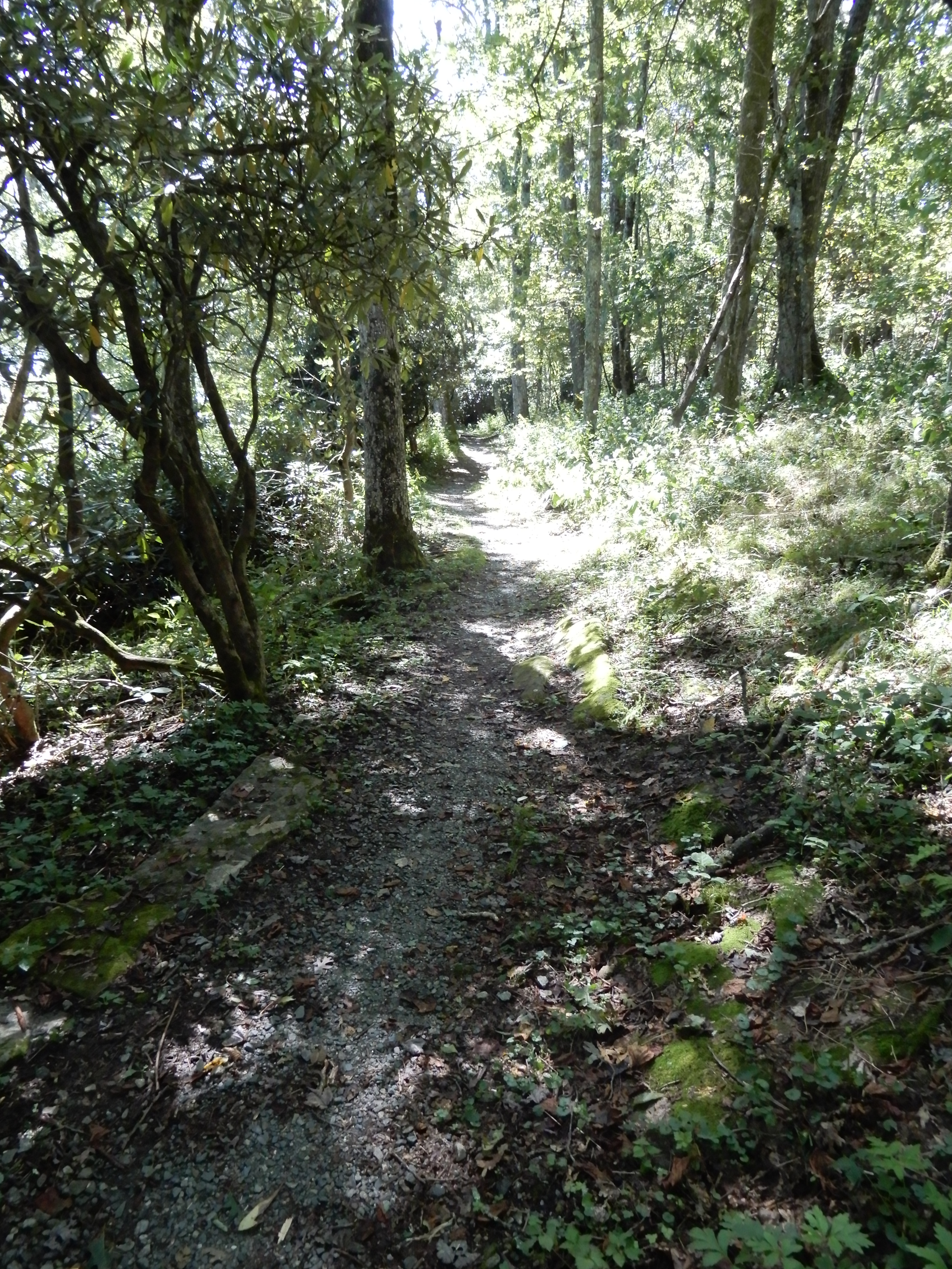
Then hiked some of the carriage trails.
In this one the carriage trail went under the Parkway.
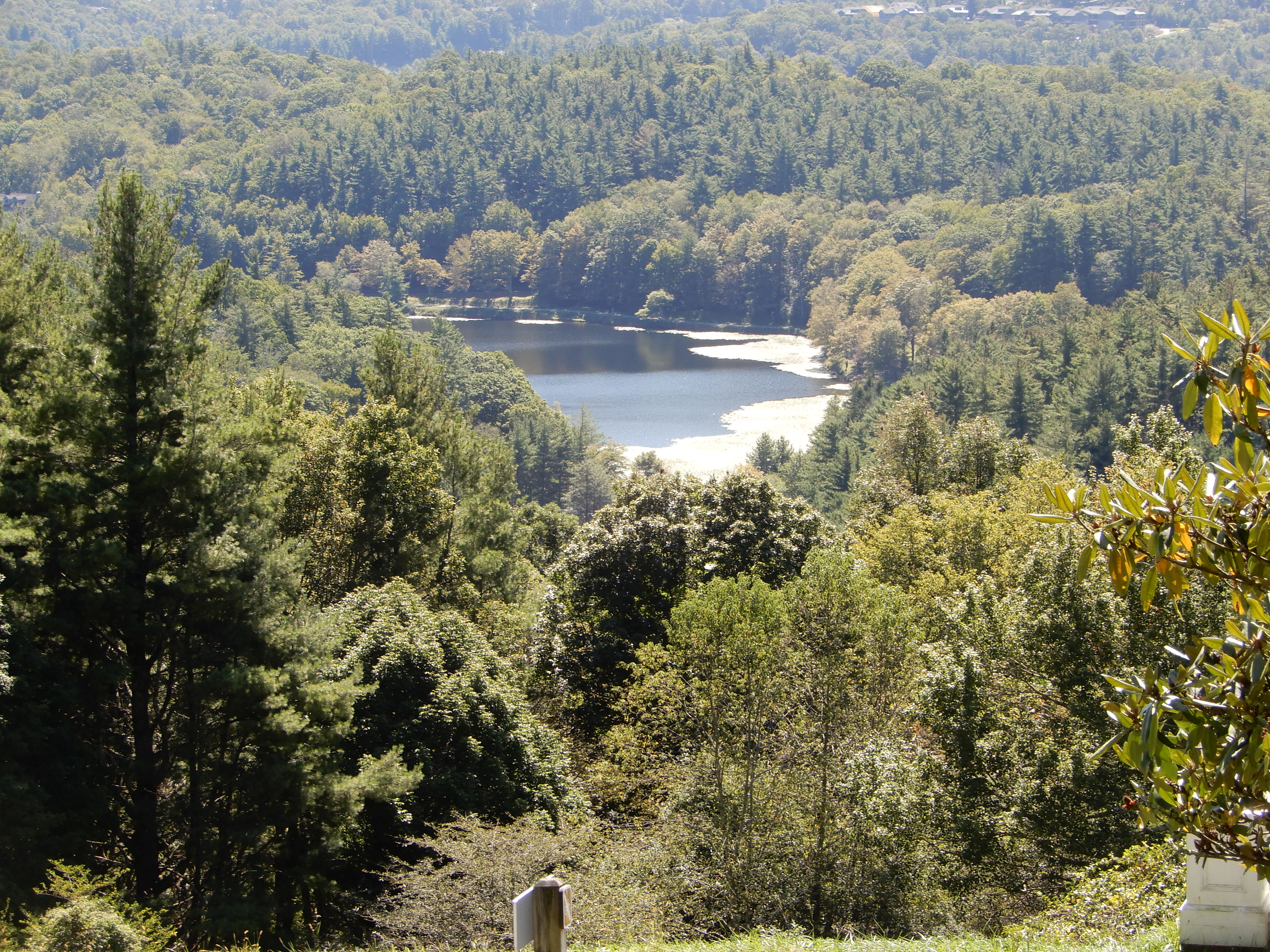
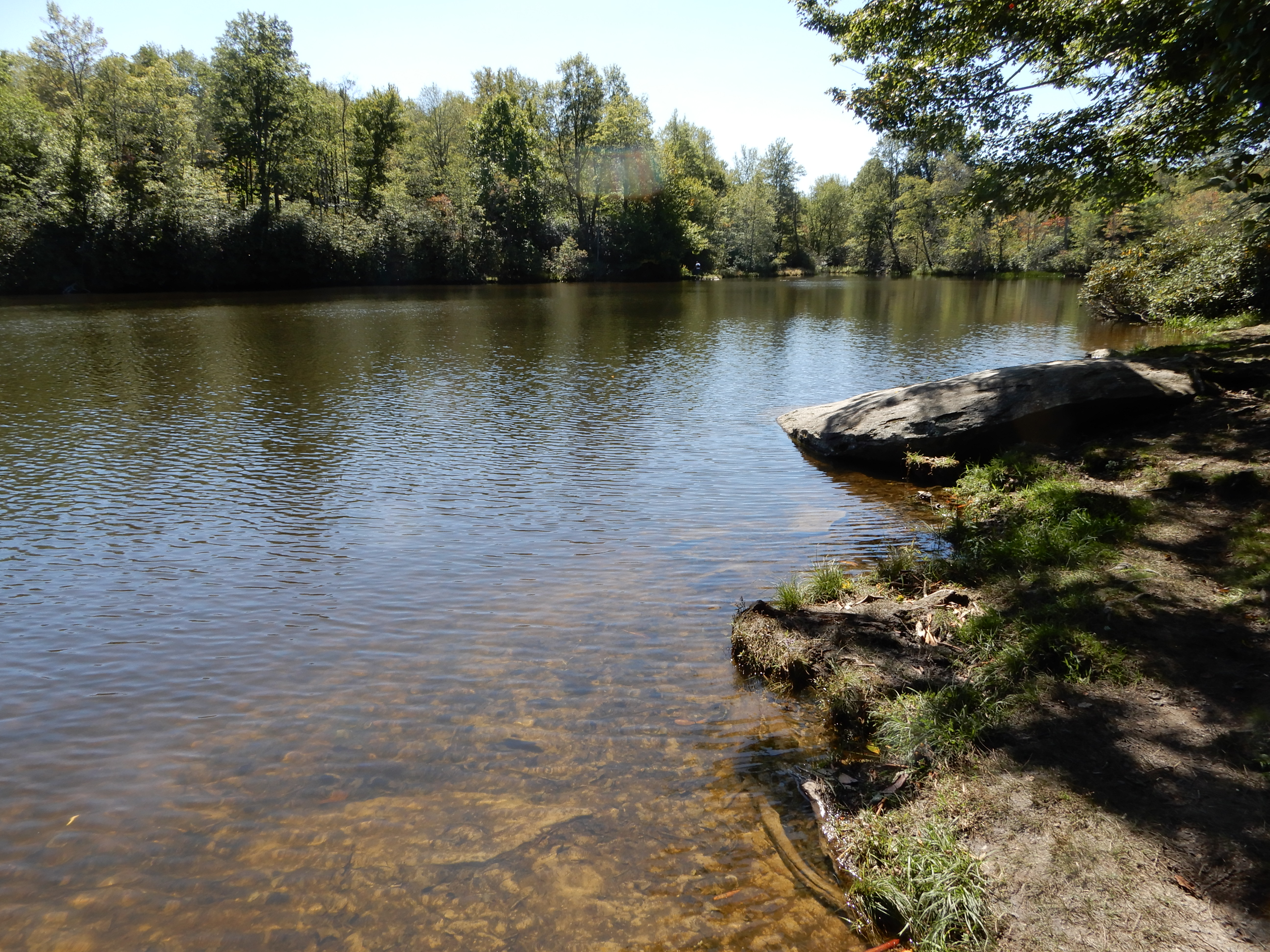
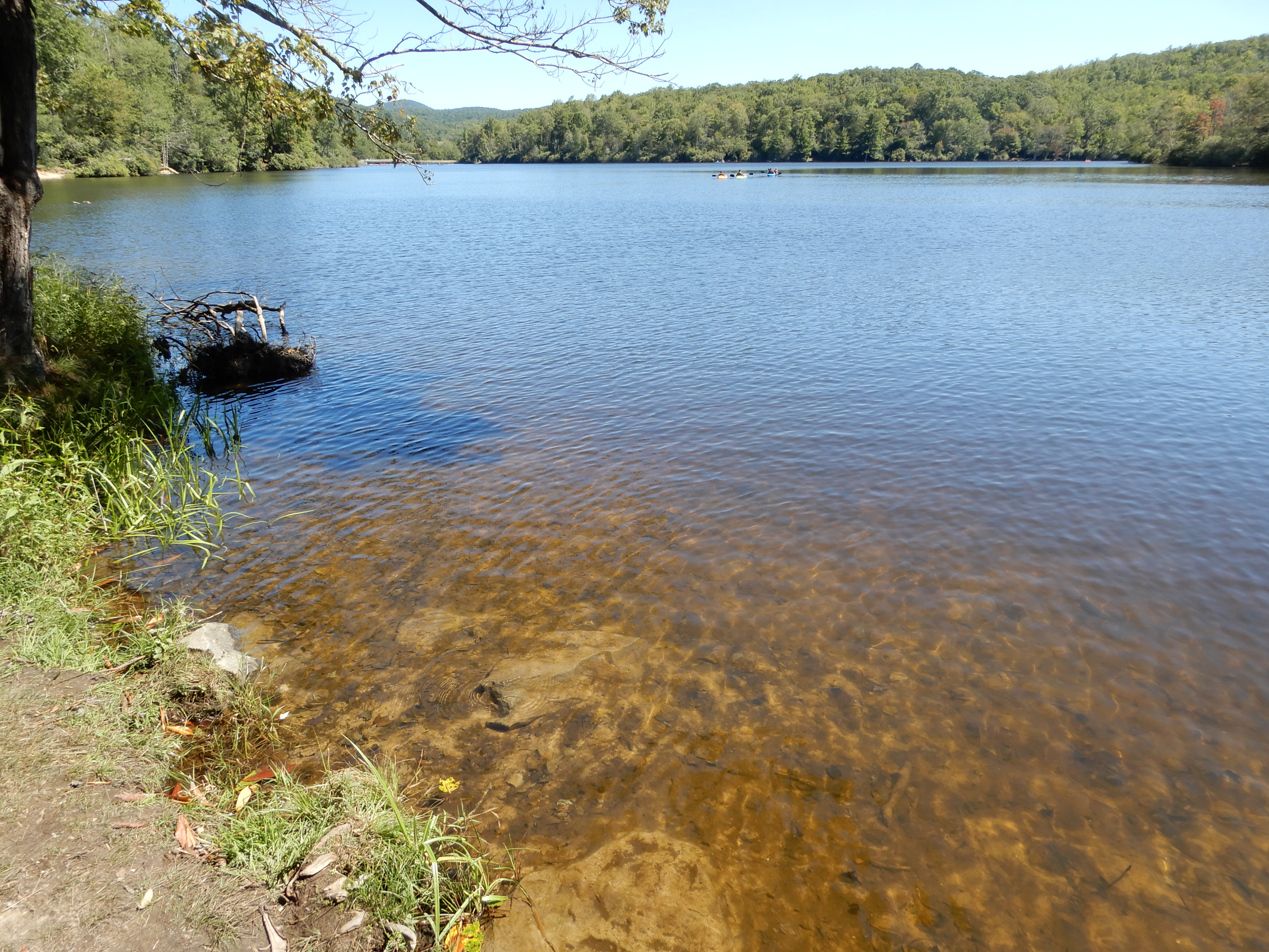
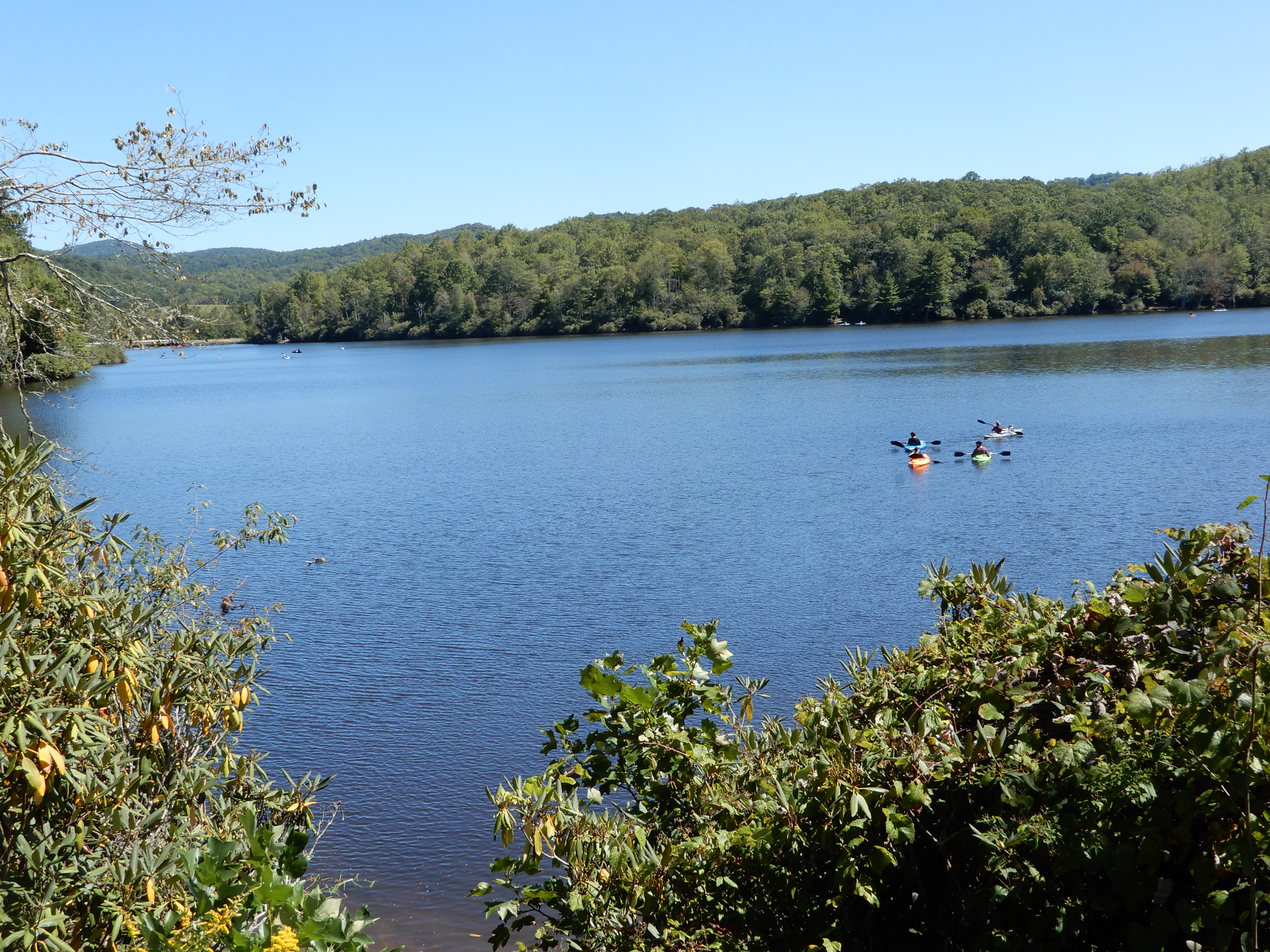
We ate lunch in the parking lot. We drove on to Julian Price Park, but it was too crowded to park. So we drove on to Price Lake, where we got out and walked around some.
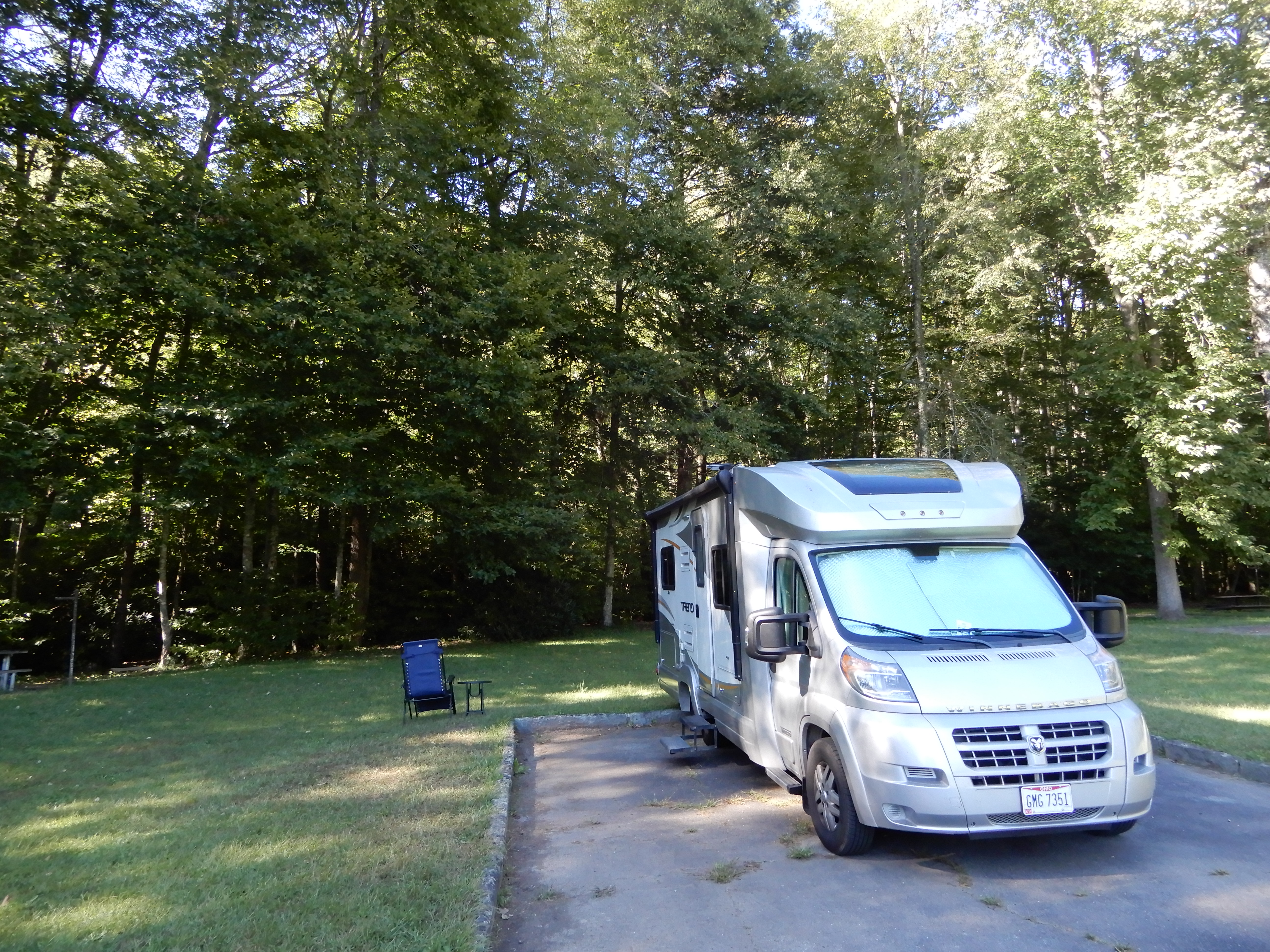
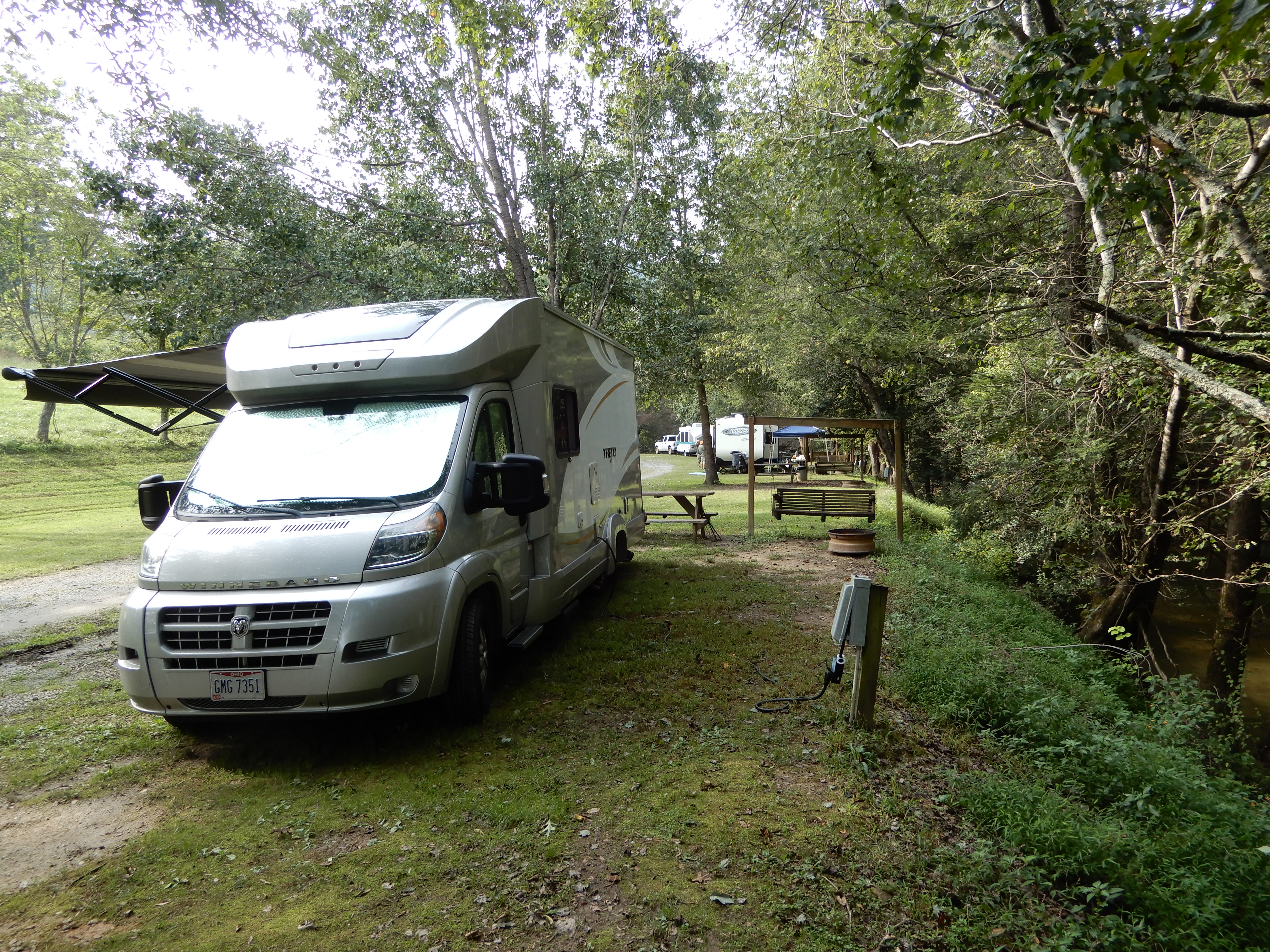
We drove across the Linn Cove Viaduct, but it was too crowded to stop. There were just too many people on the Parkway for it to be enjoyable. So early that afternoon we pulled into Linville Falls Campgropund at MM317 and got a site.
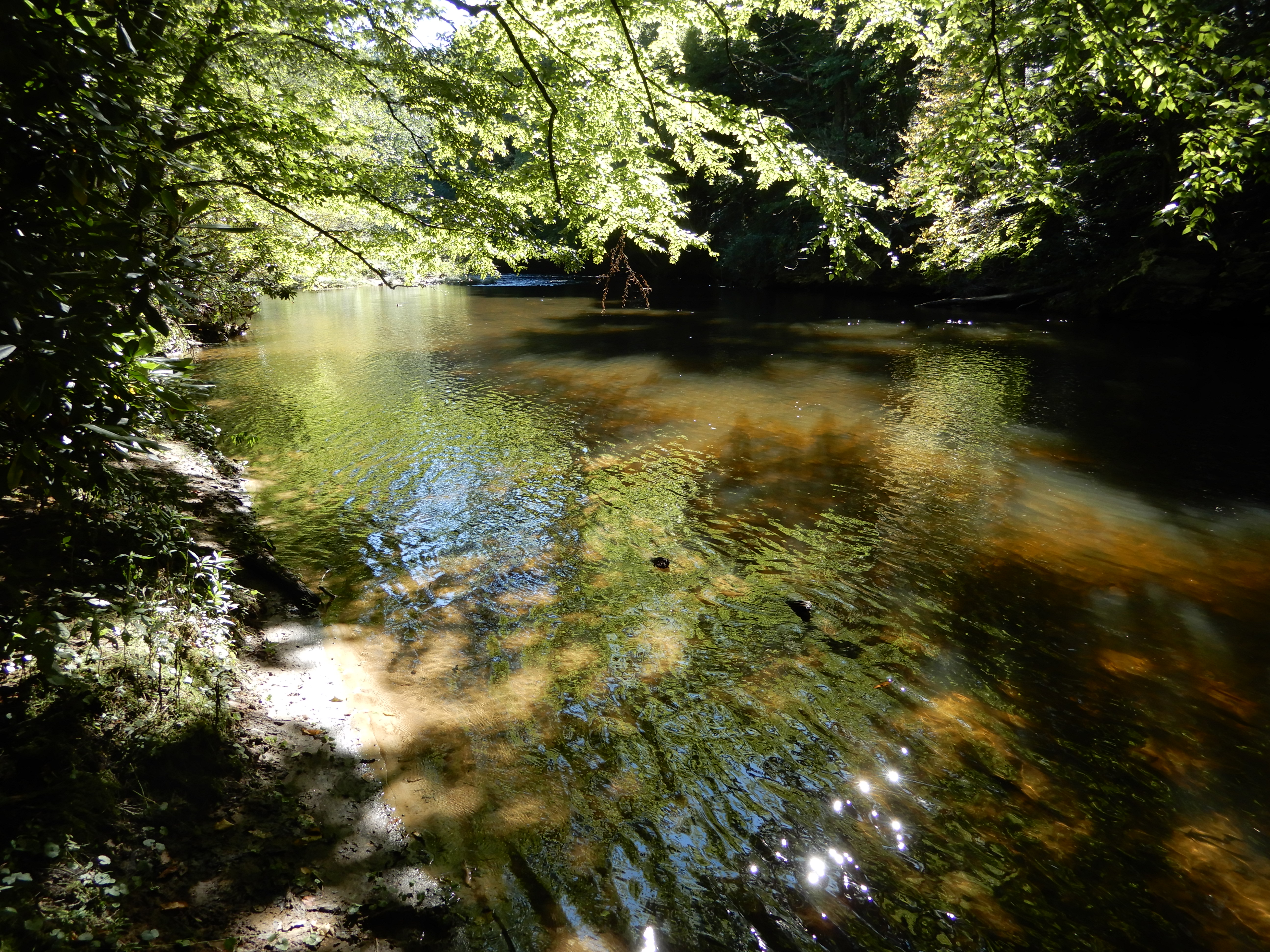
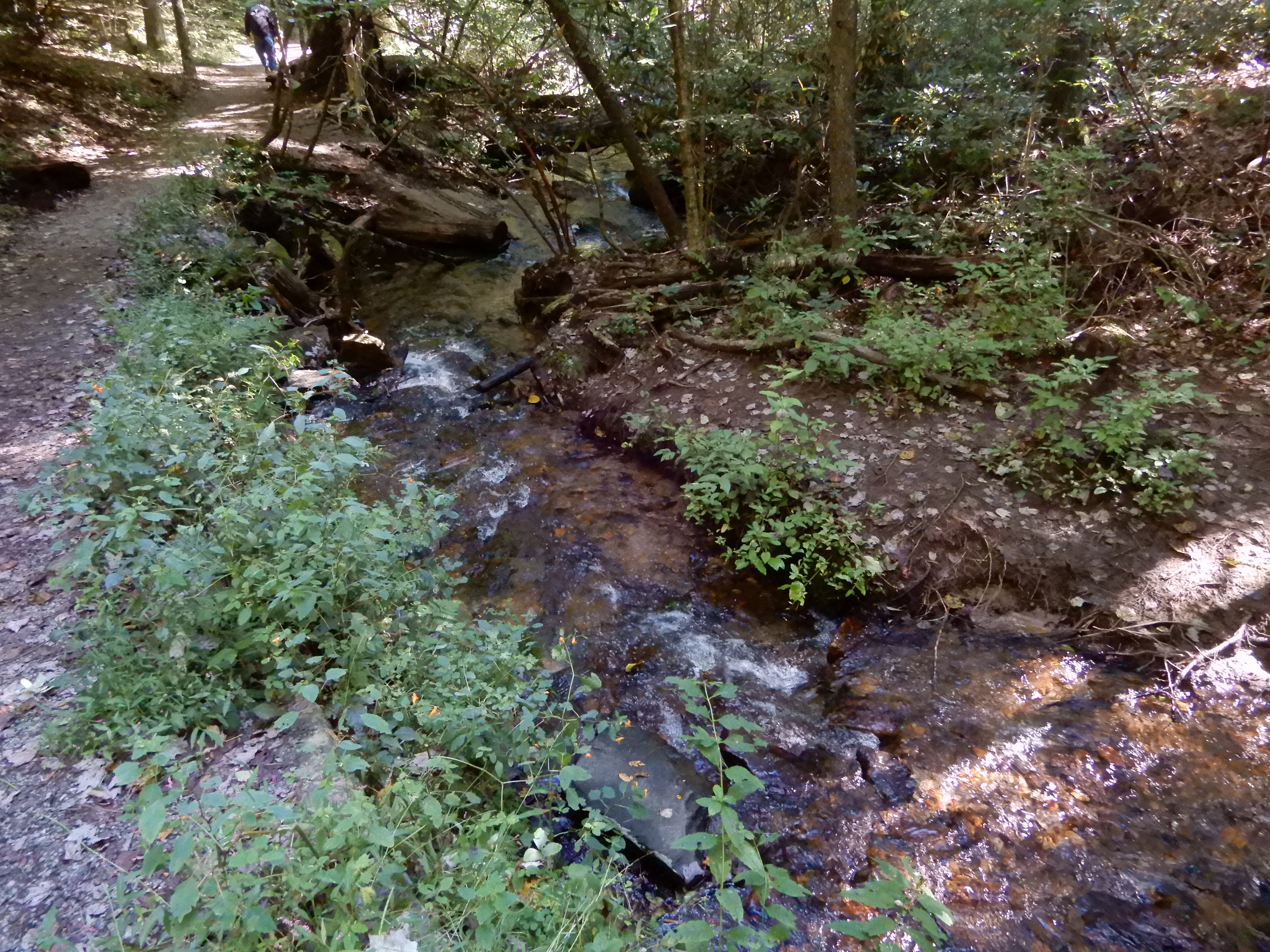
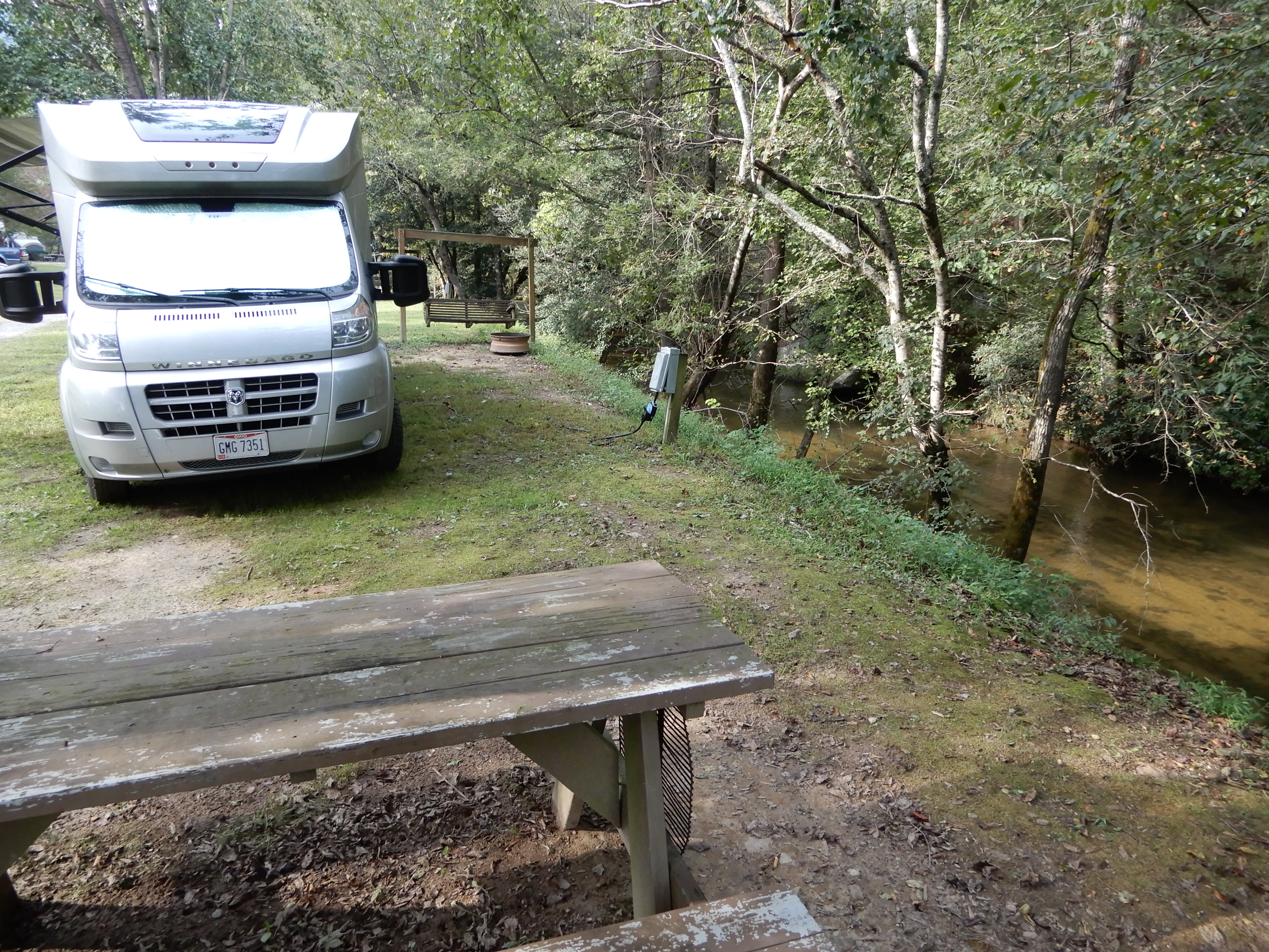
We had a creek behind our site.
Next American Location: South along the Blue Ridge Parkway, North Carolina
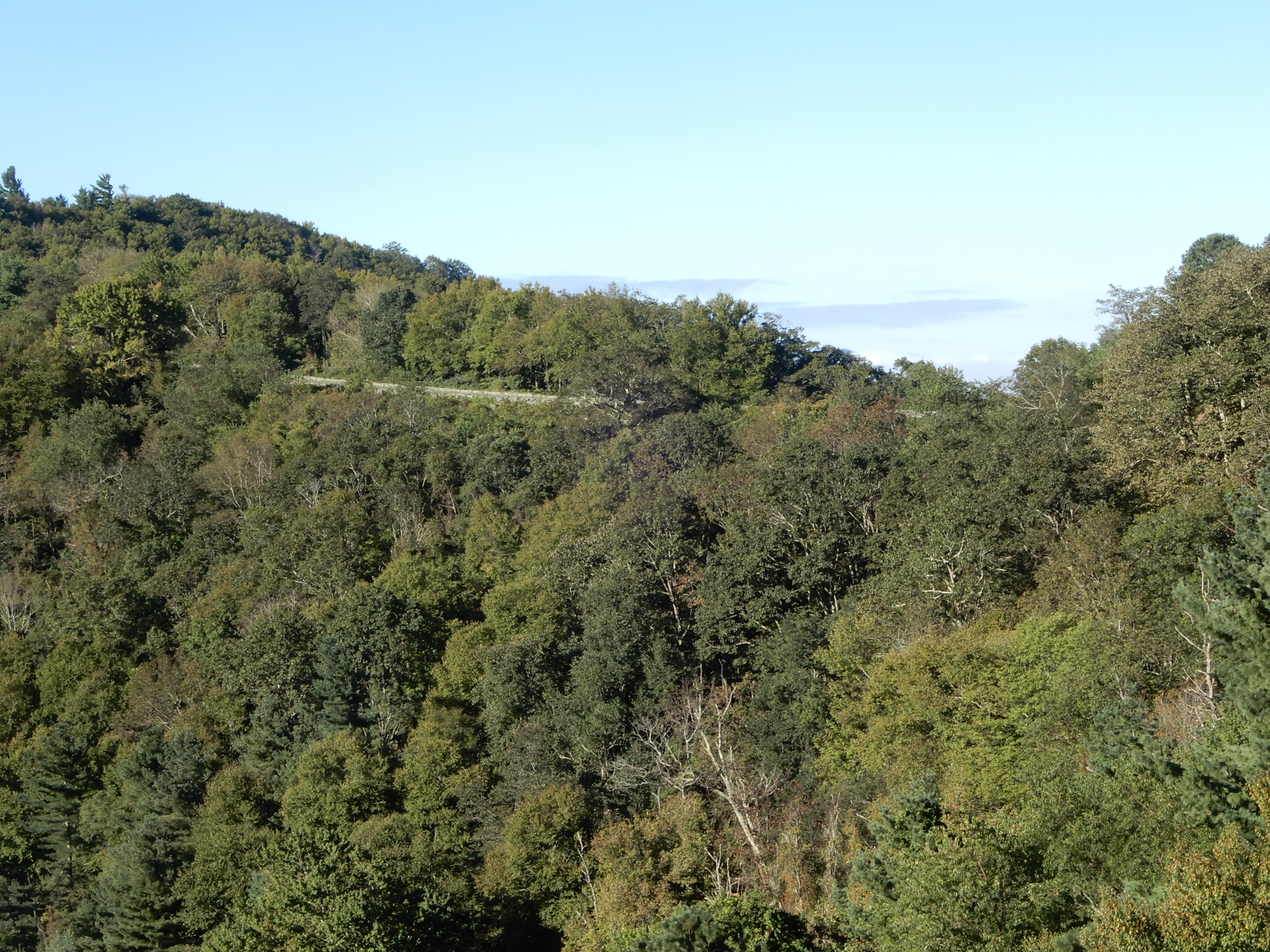
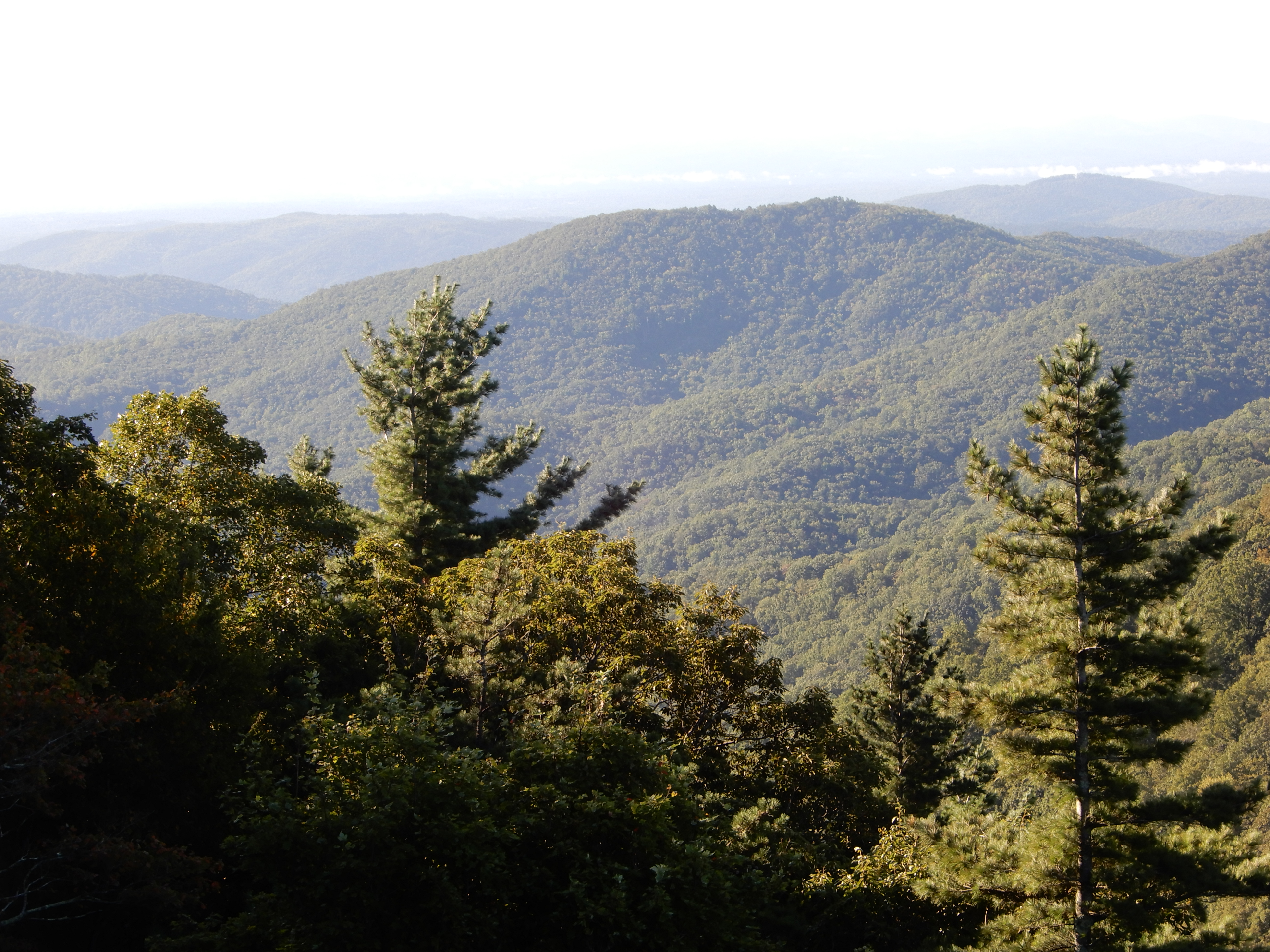
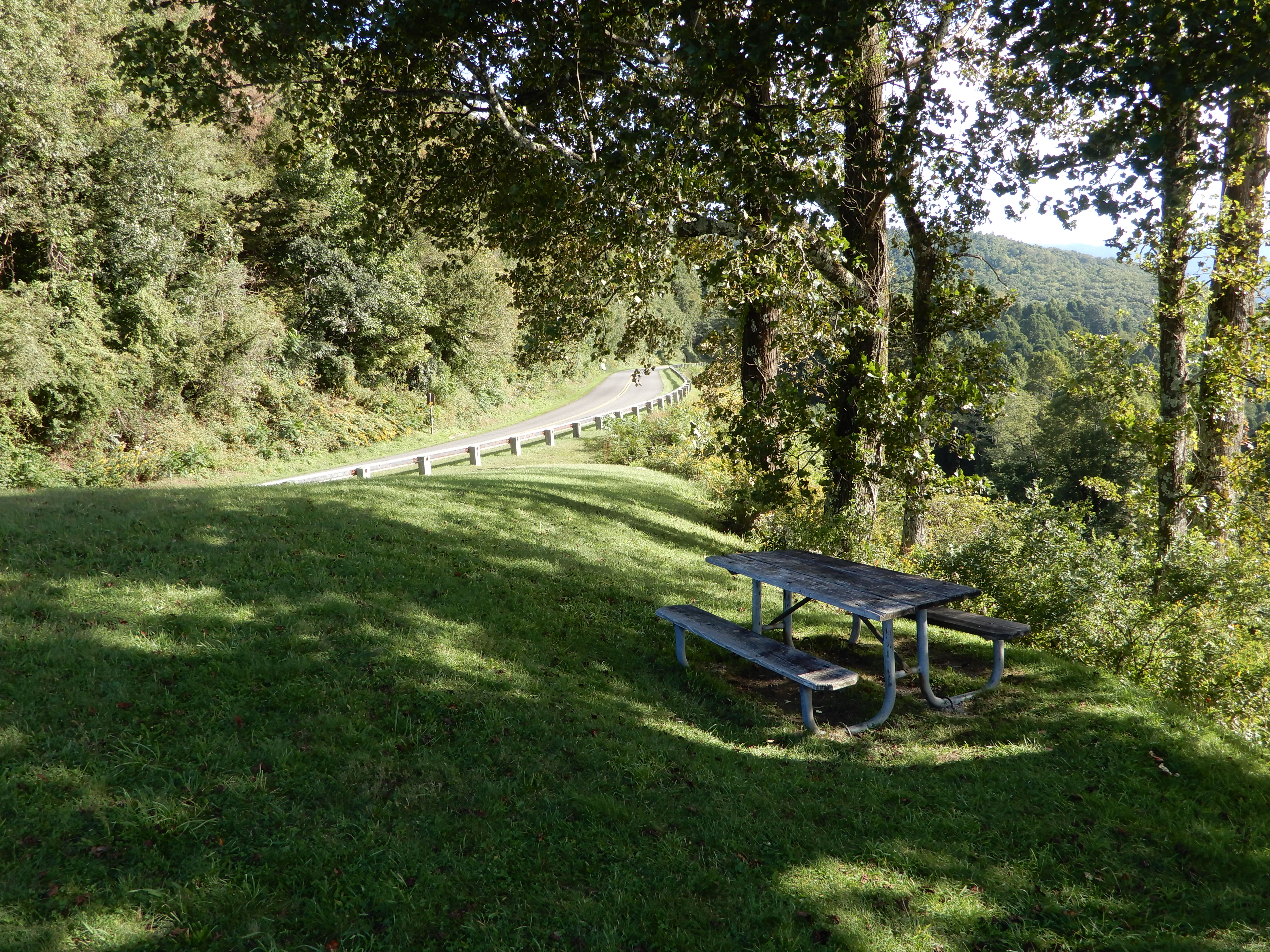
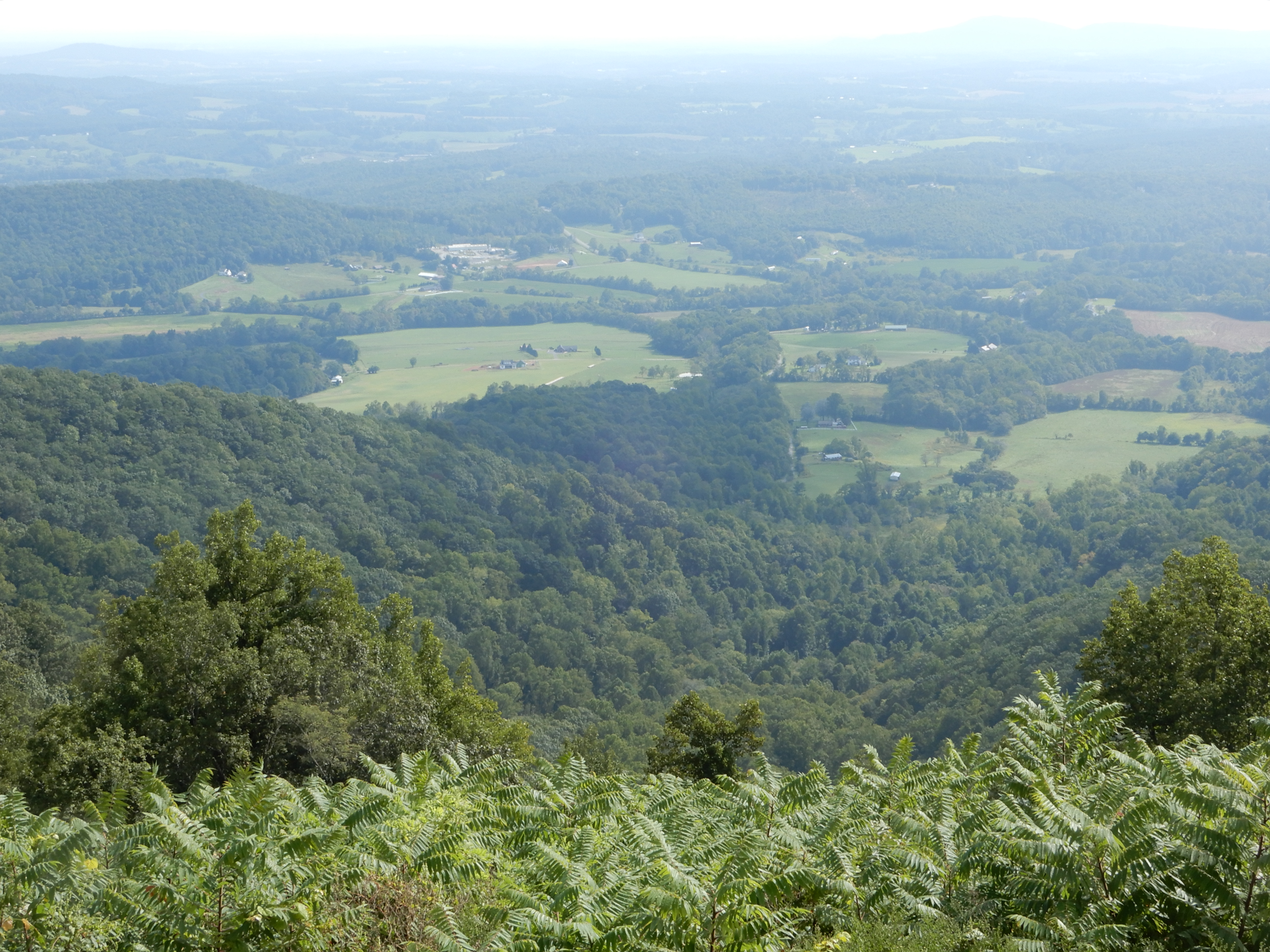
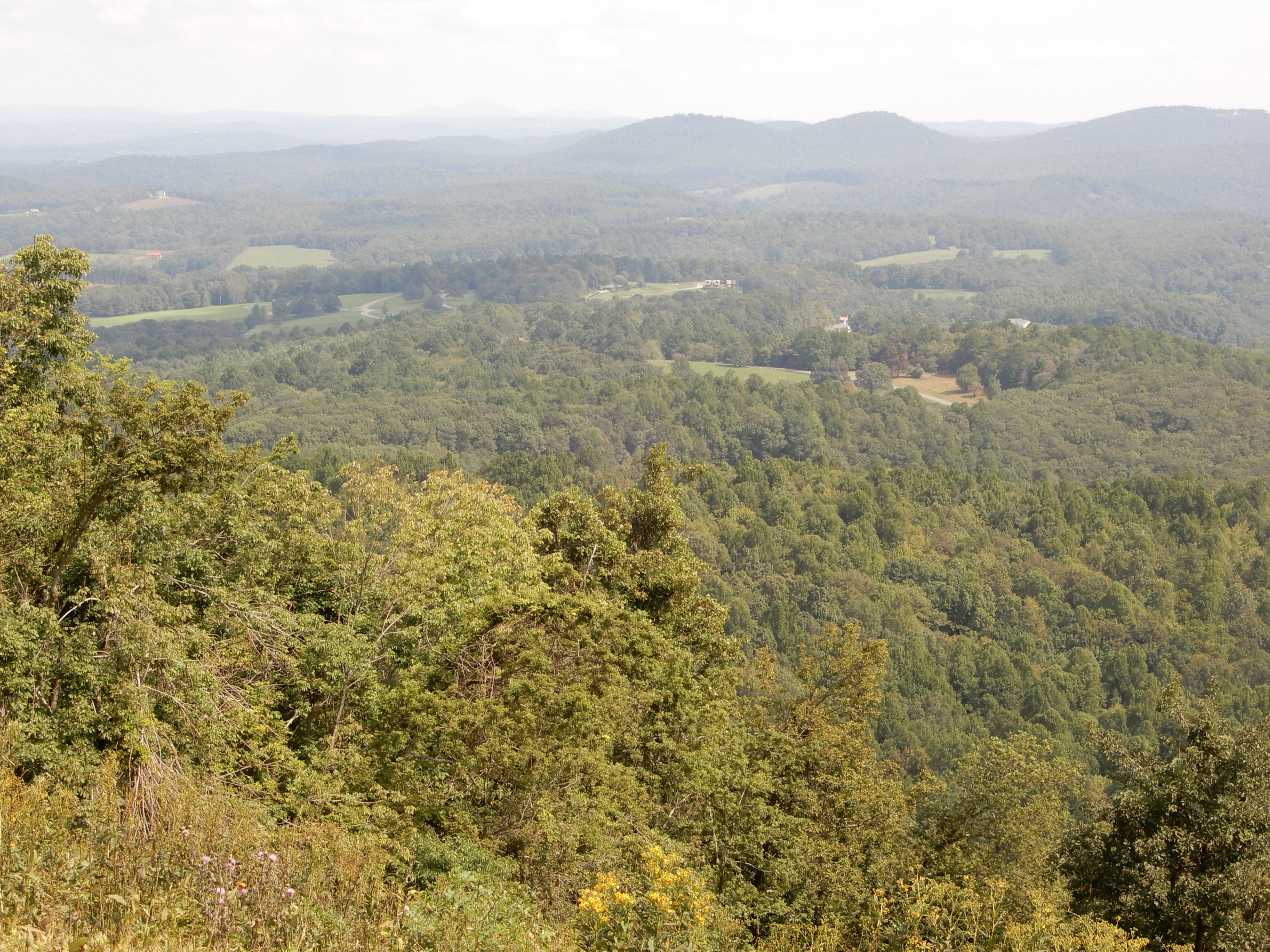
Early in the morning we left Cedar Stone Campground and drove back through Stone Mountain State Park and back up onto the Parkway at MM229. Once back on track, we pulled over for overlooks, like always. I like this photo where we are looking back at the Parkway.
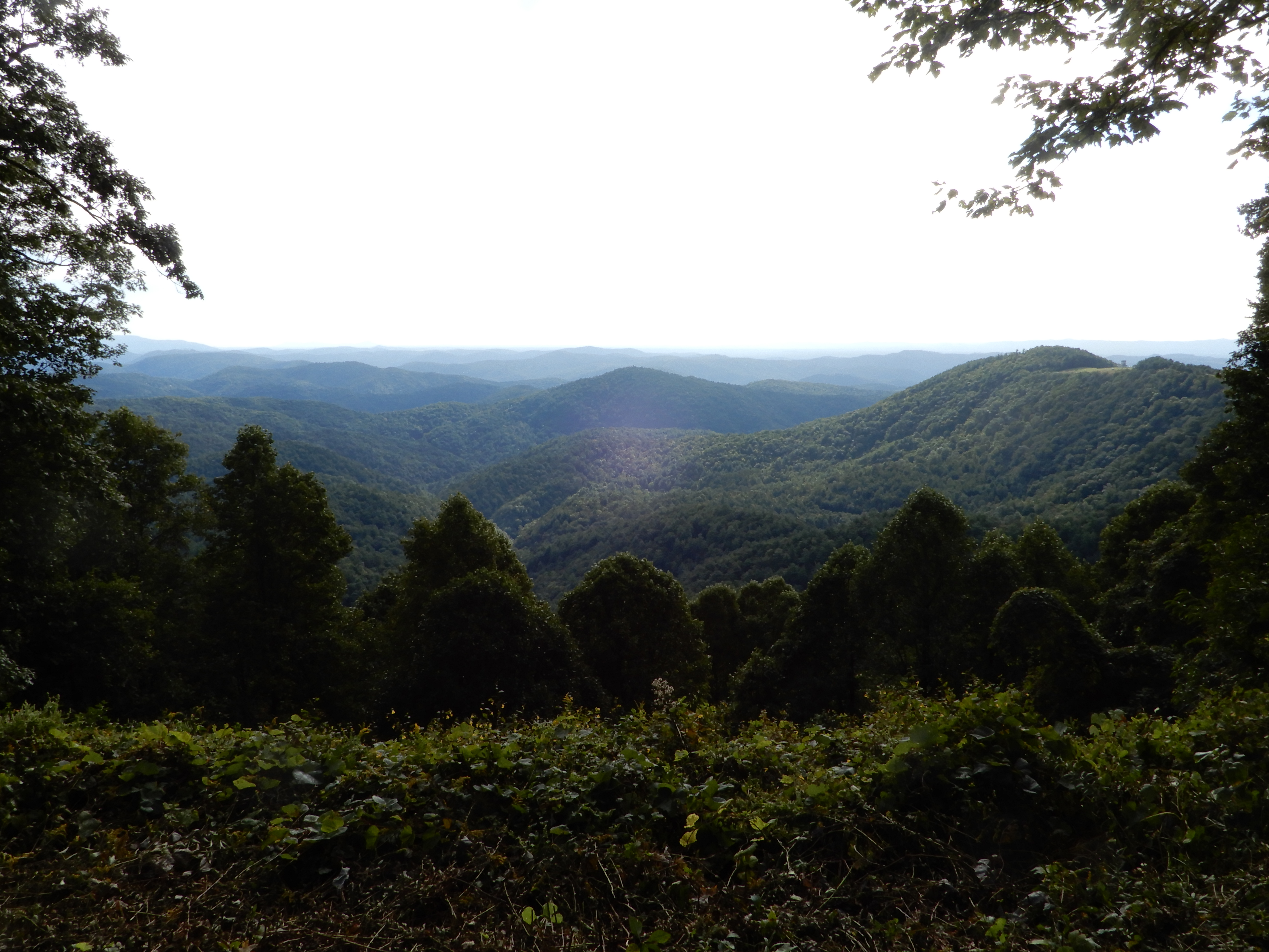
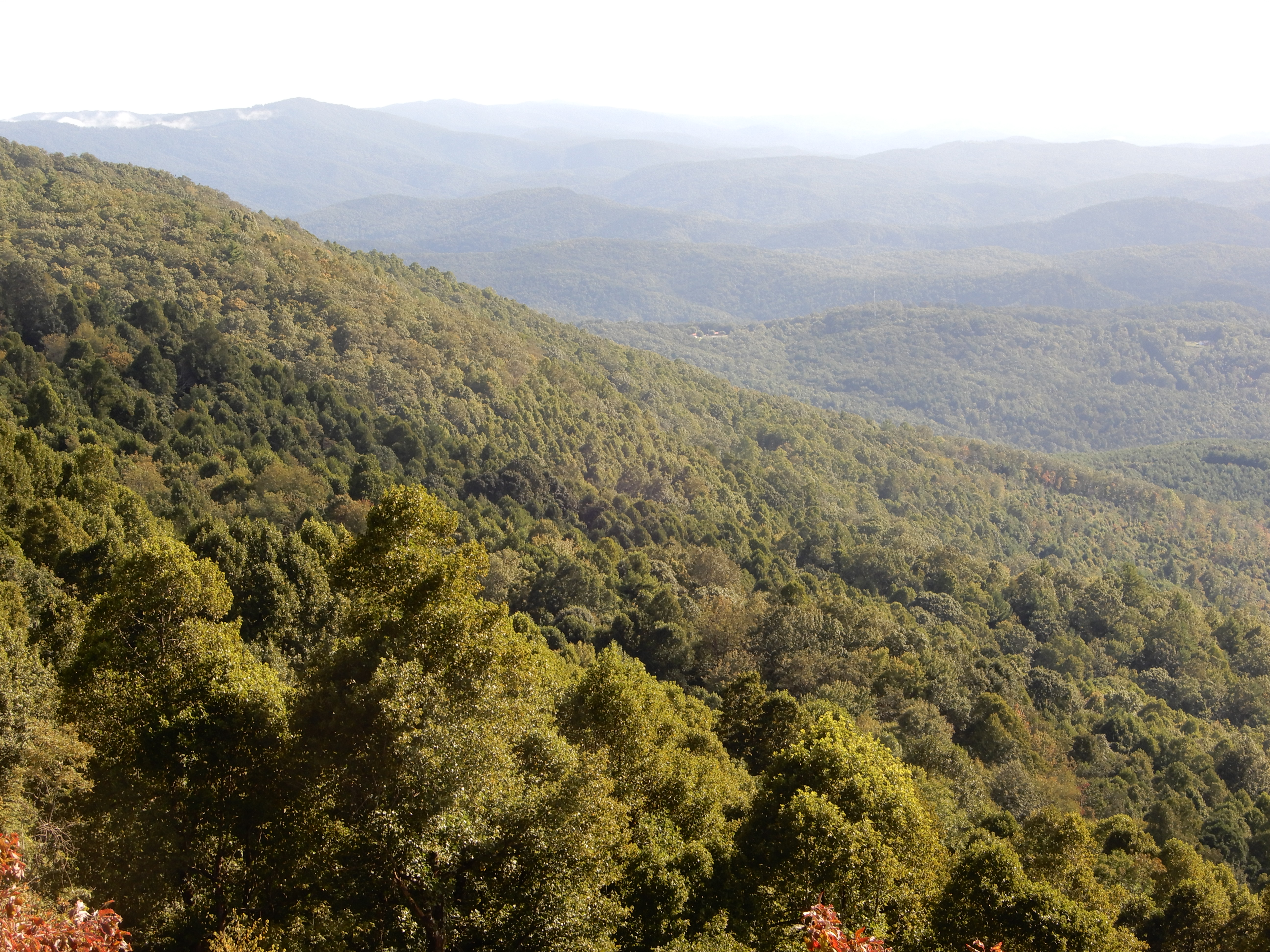
Several others.
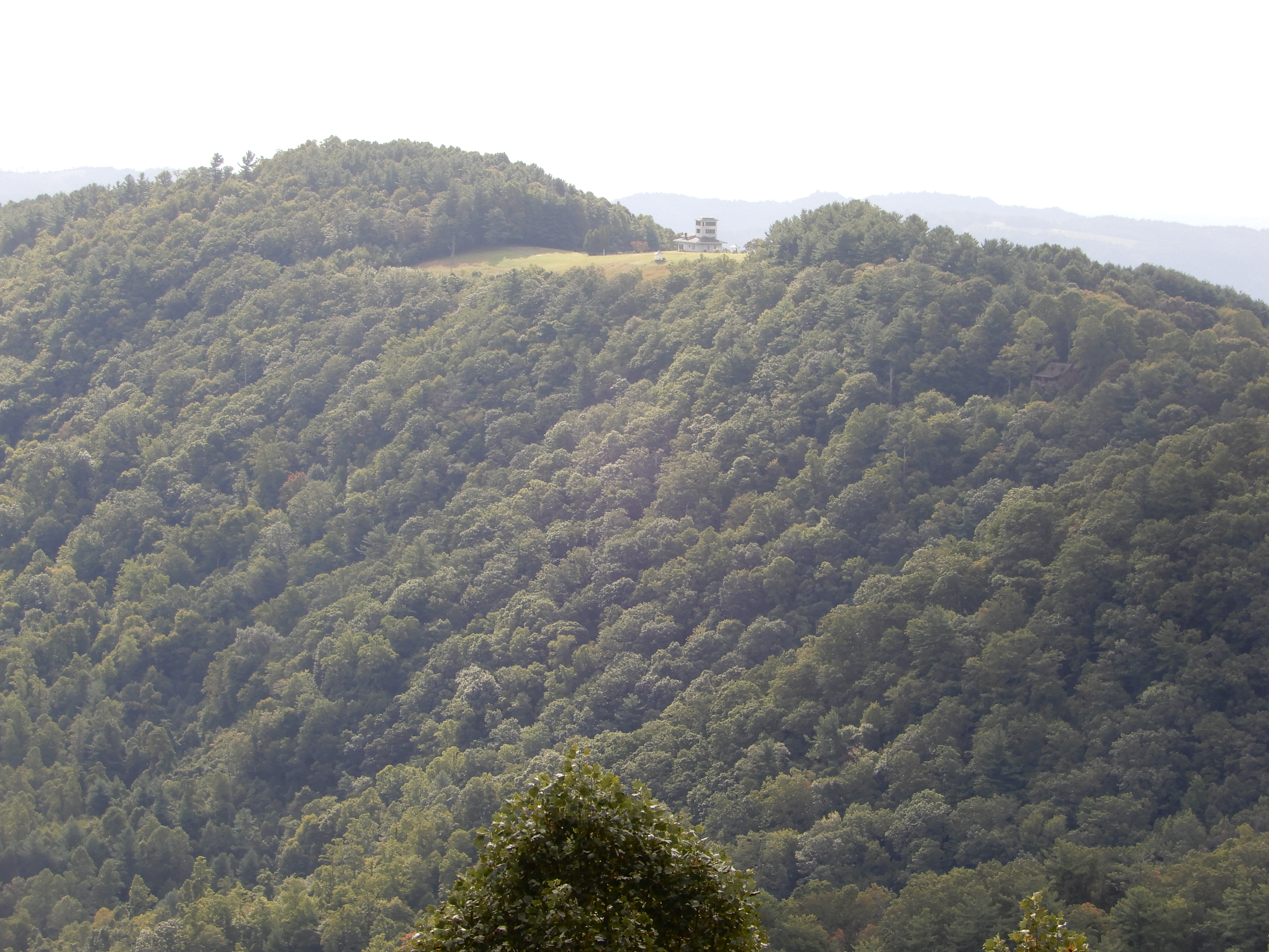
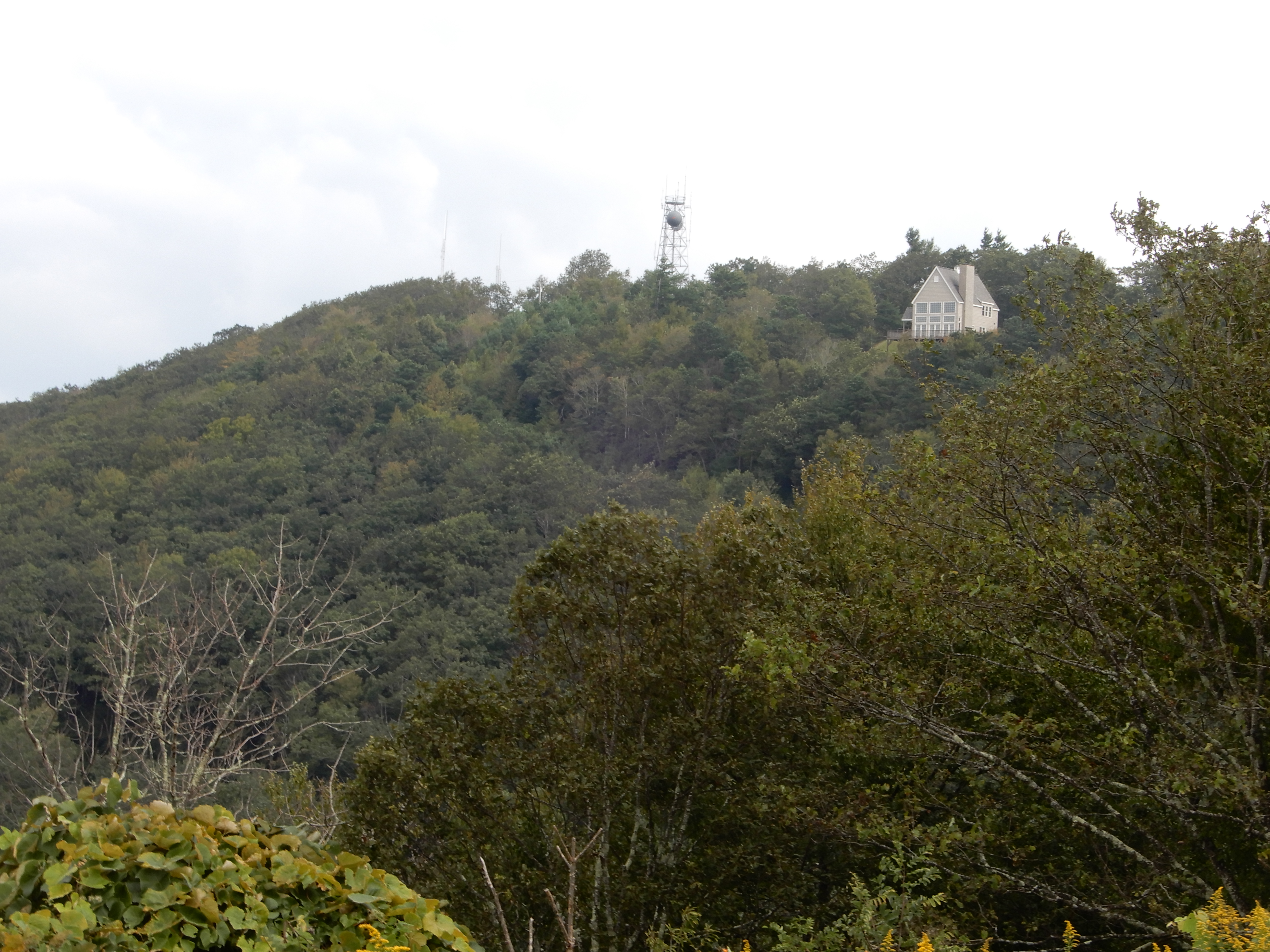
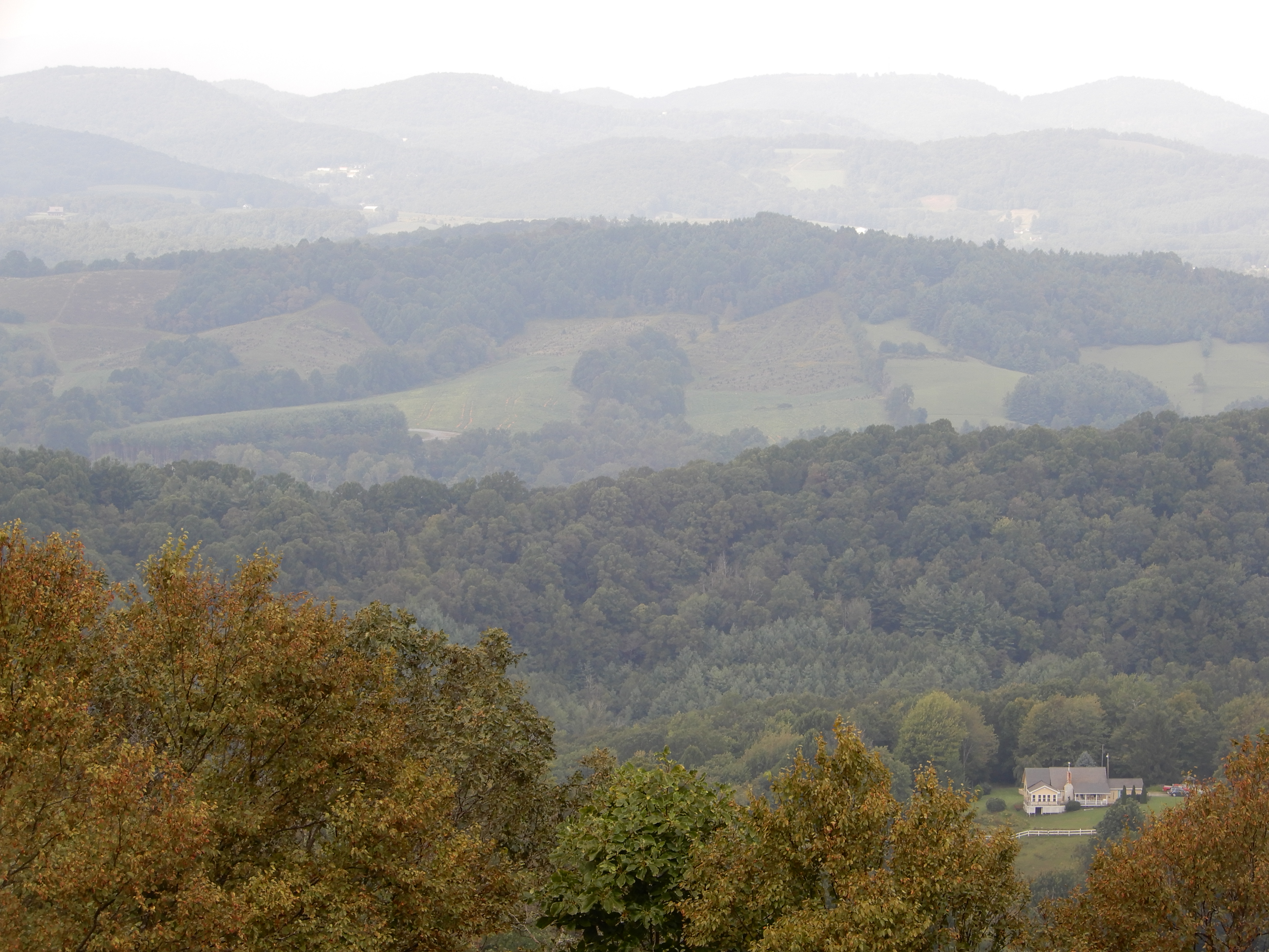
I saw another house that had been built on another mountaintop in a carved-out niche in the trees.
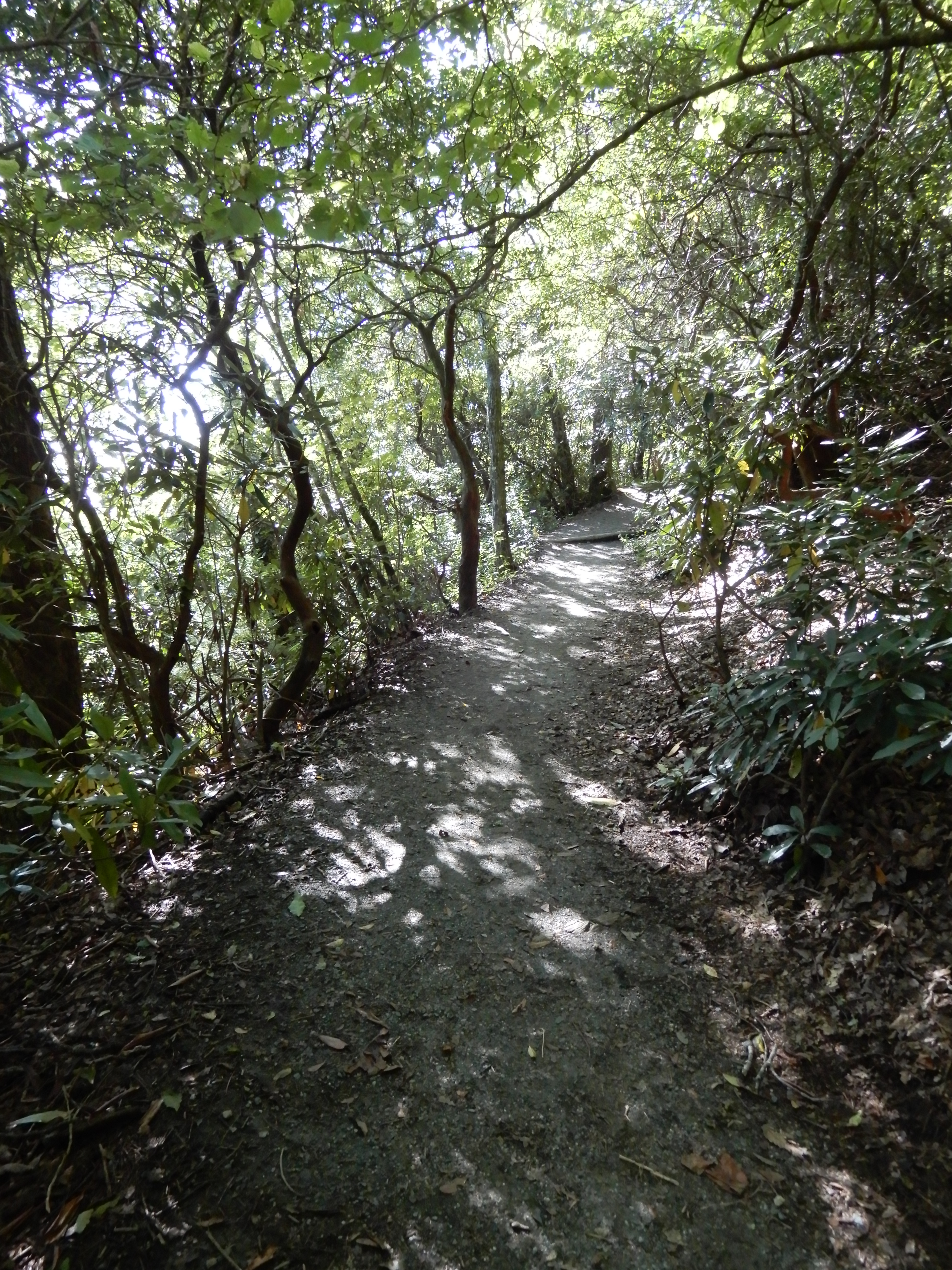
We stopped at Jeffress Park.
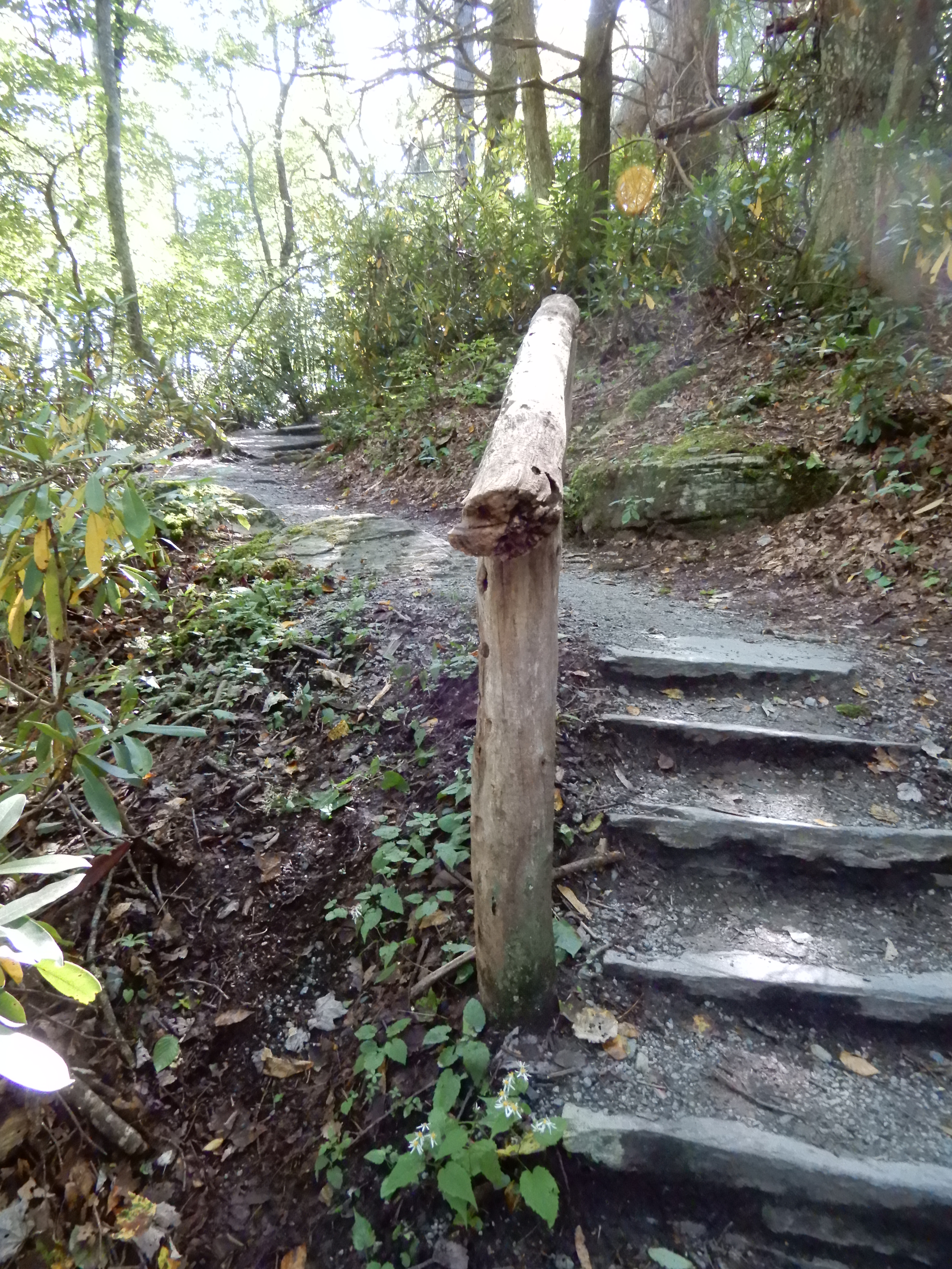
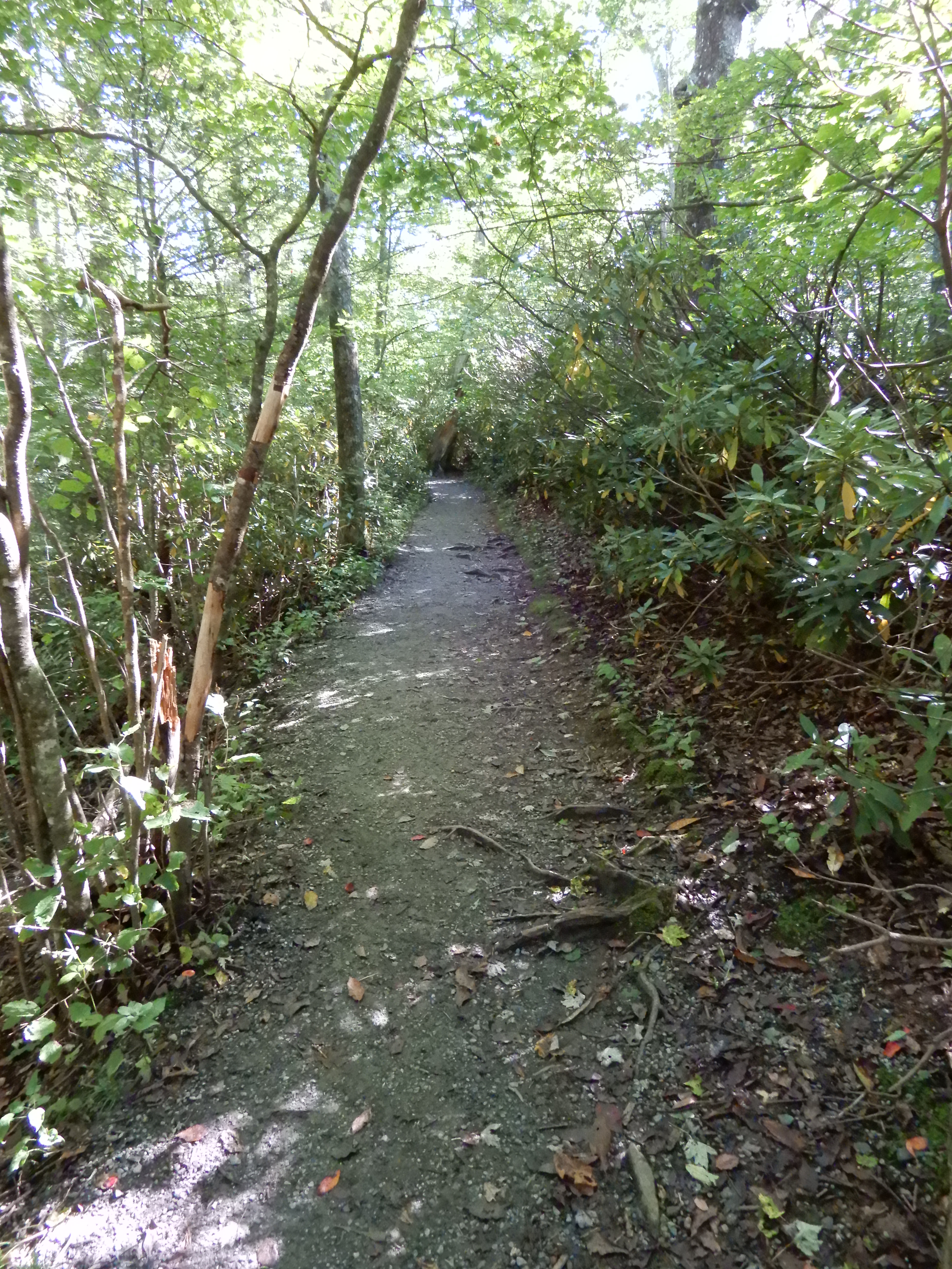
To hike the Cascades Trail, a pleasant 1 mile loop.
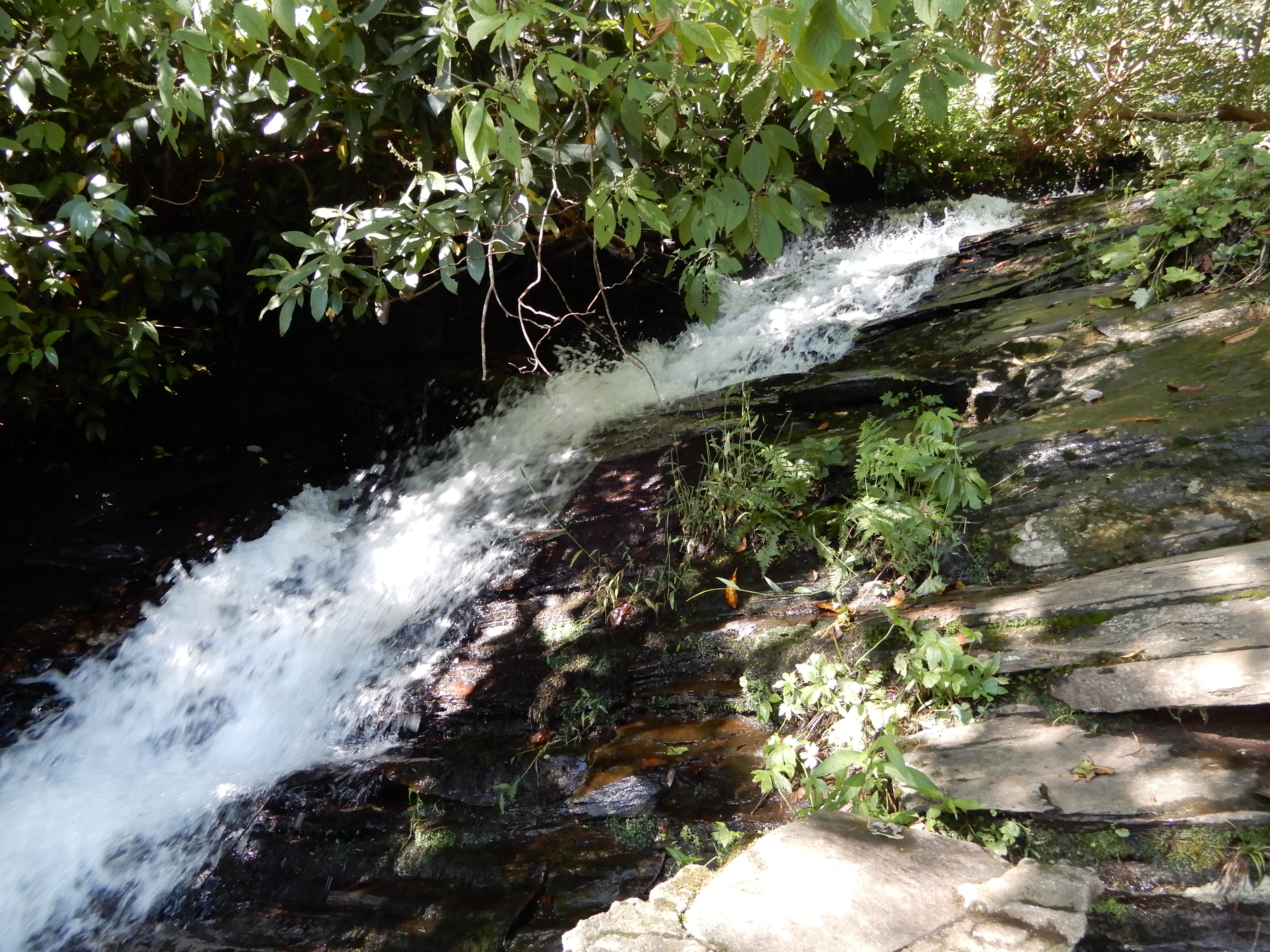
To an impressive waterfall.
And back out.
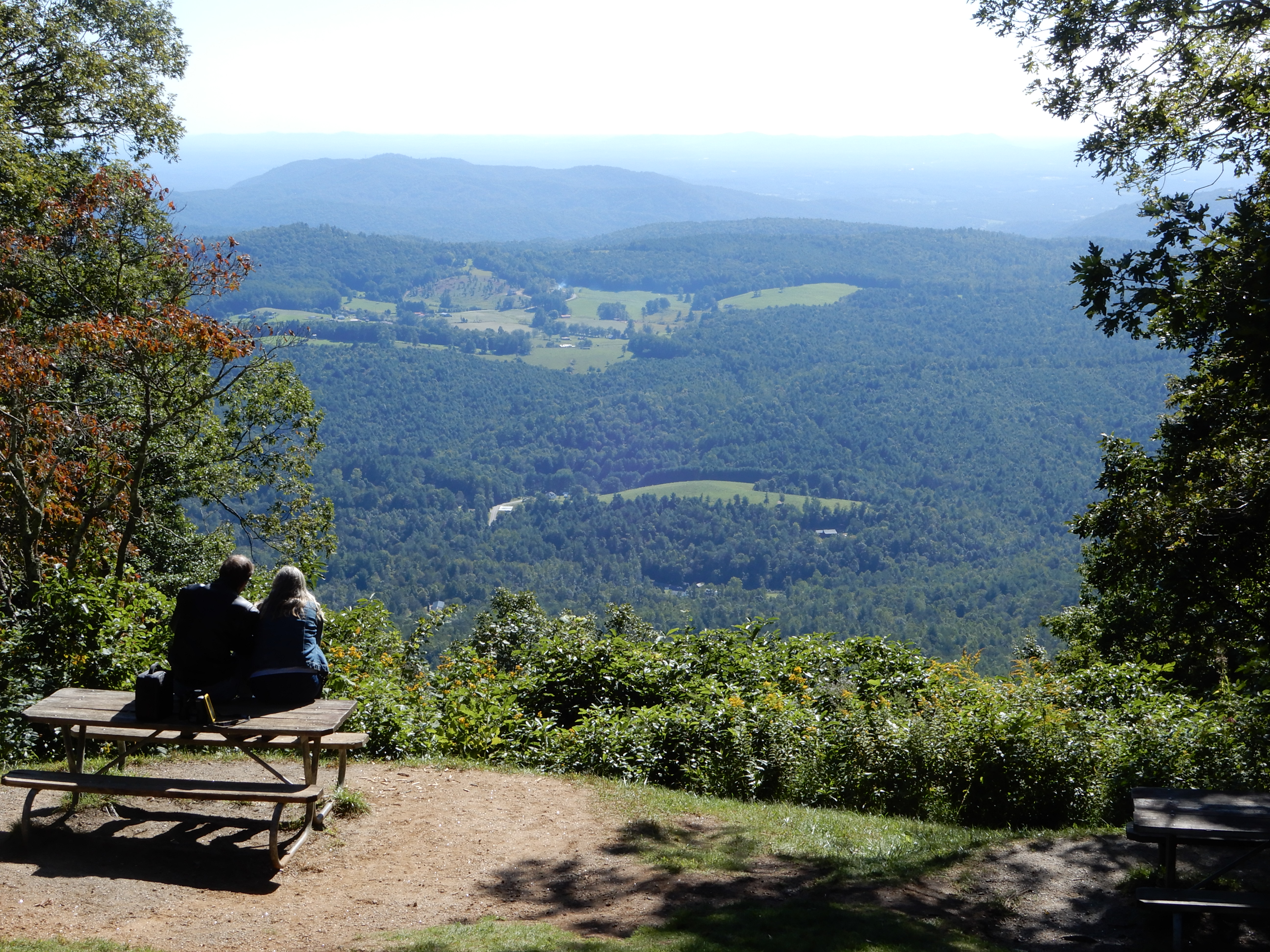
After, we relaxed and enjoyed the view, much as this couple was doing.
Next American Location: South along the Blue Ridge Parkway, North Carolina
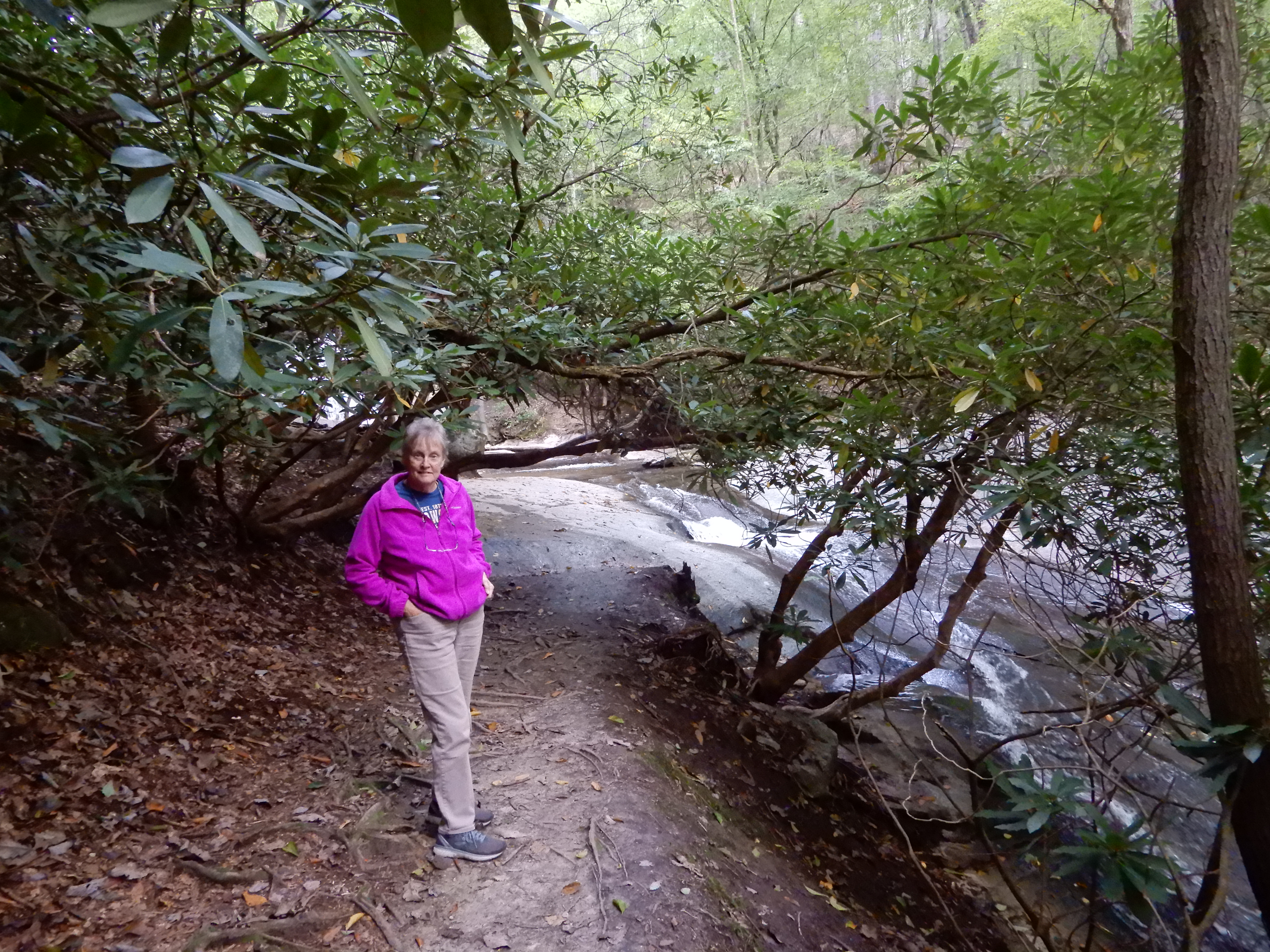
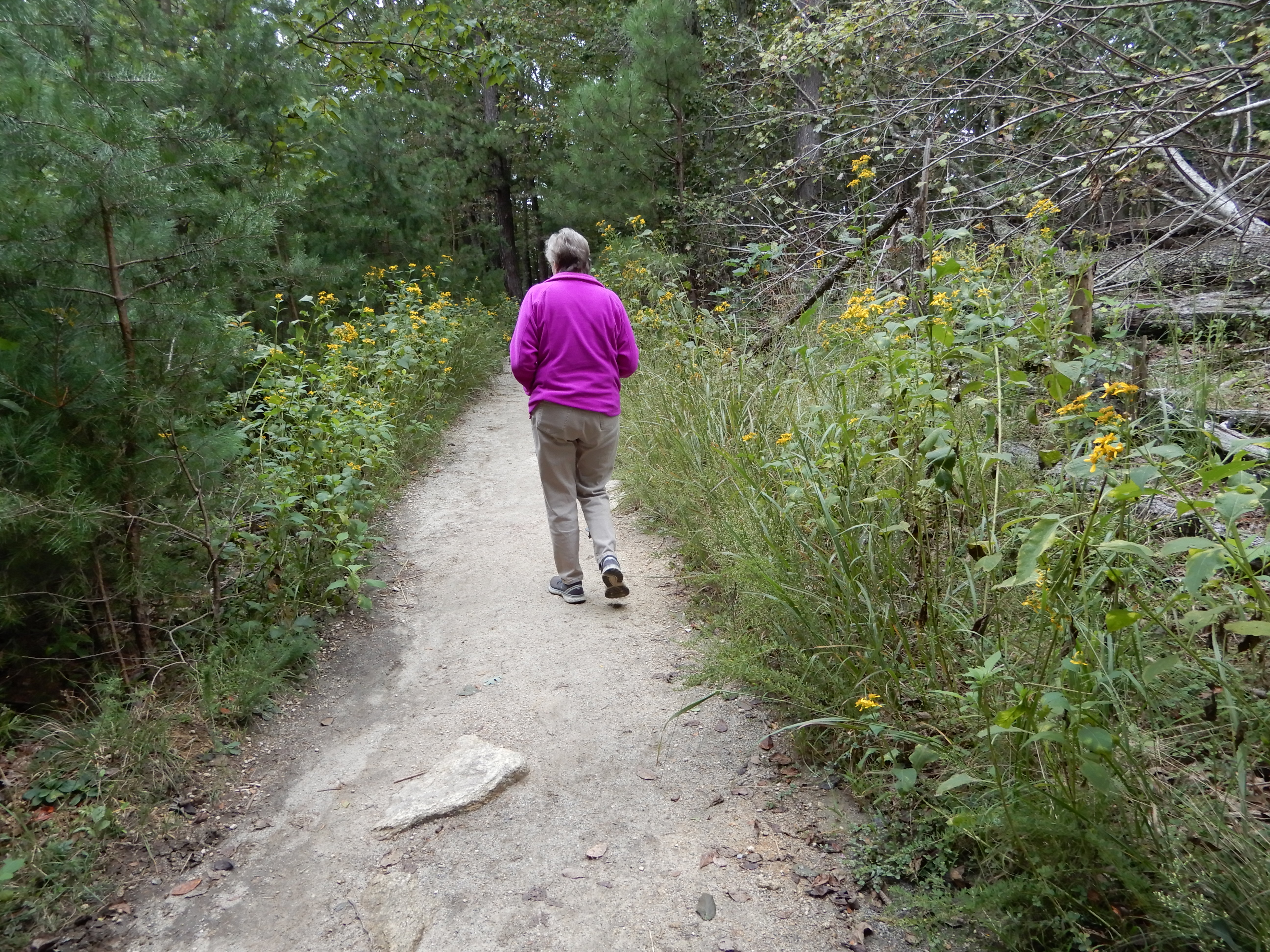
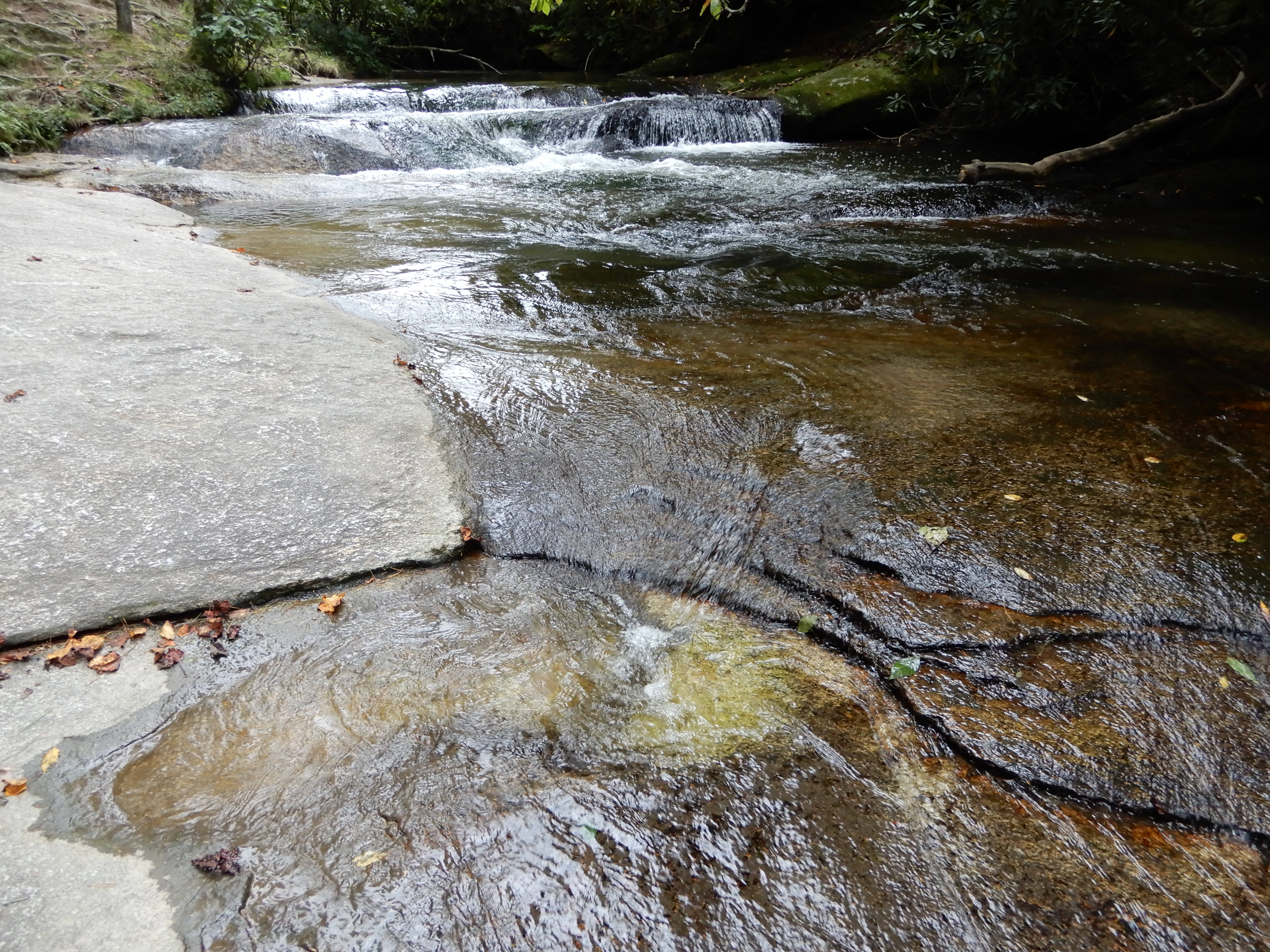
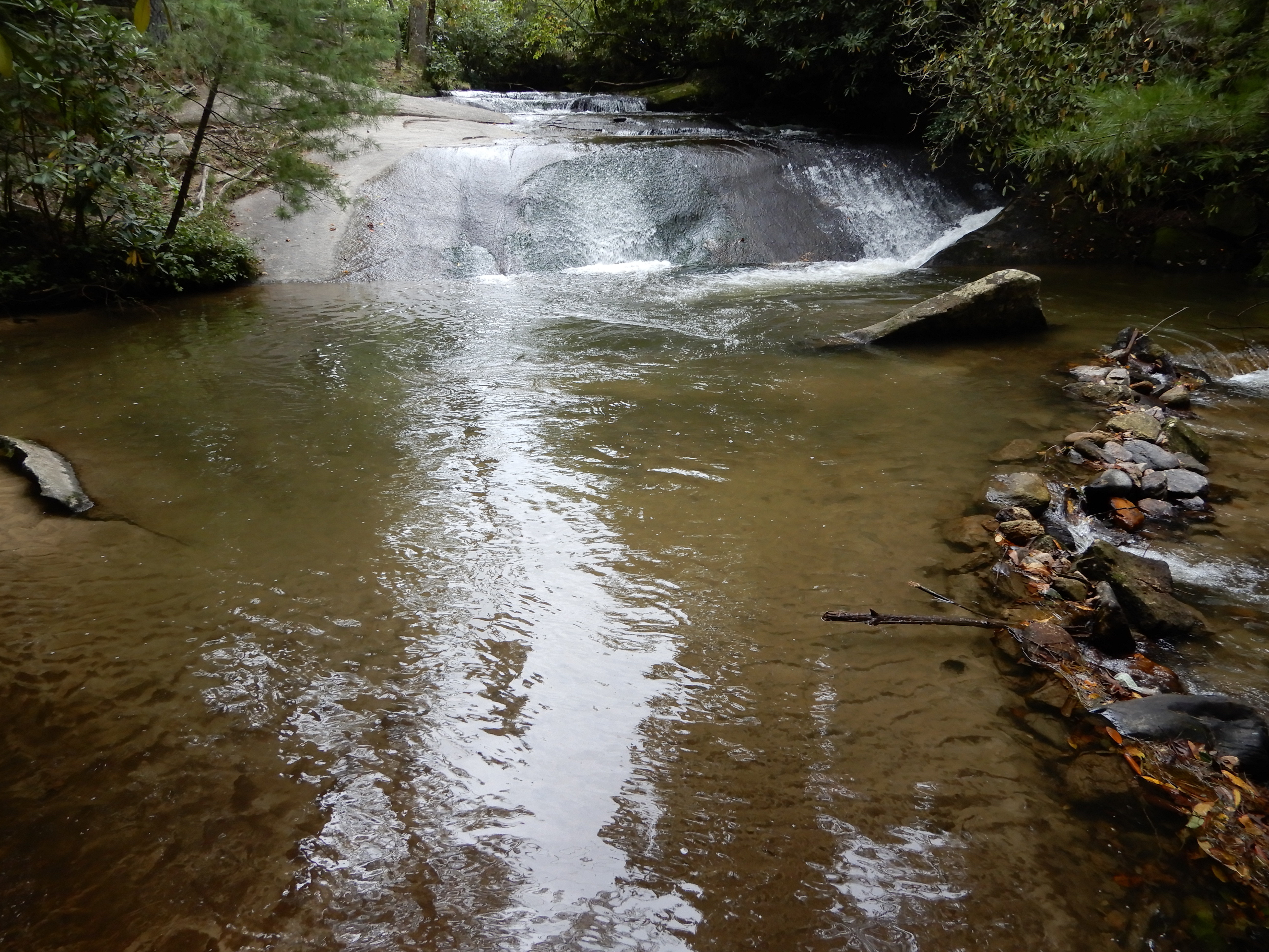
The next morning we drove into Stone Mountain State Park through the back entrance. We stopped to take a short hike to see Widow Creek Falls.
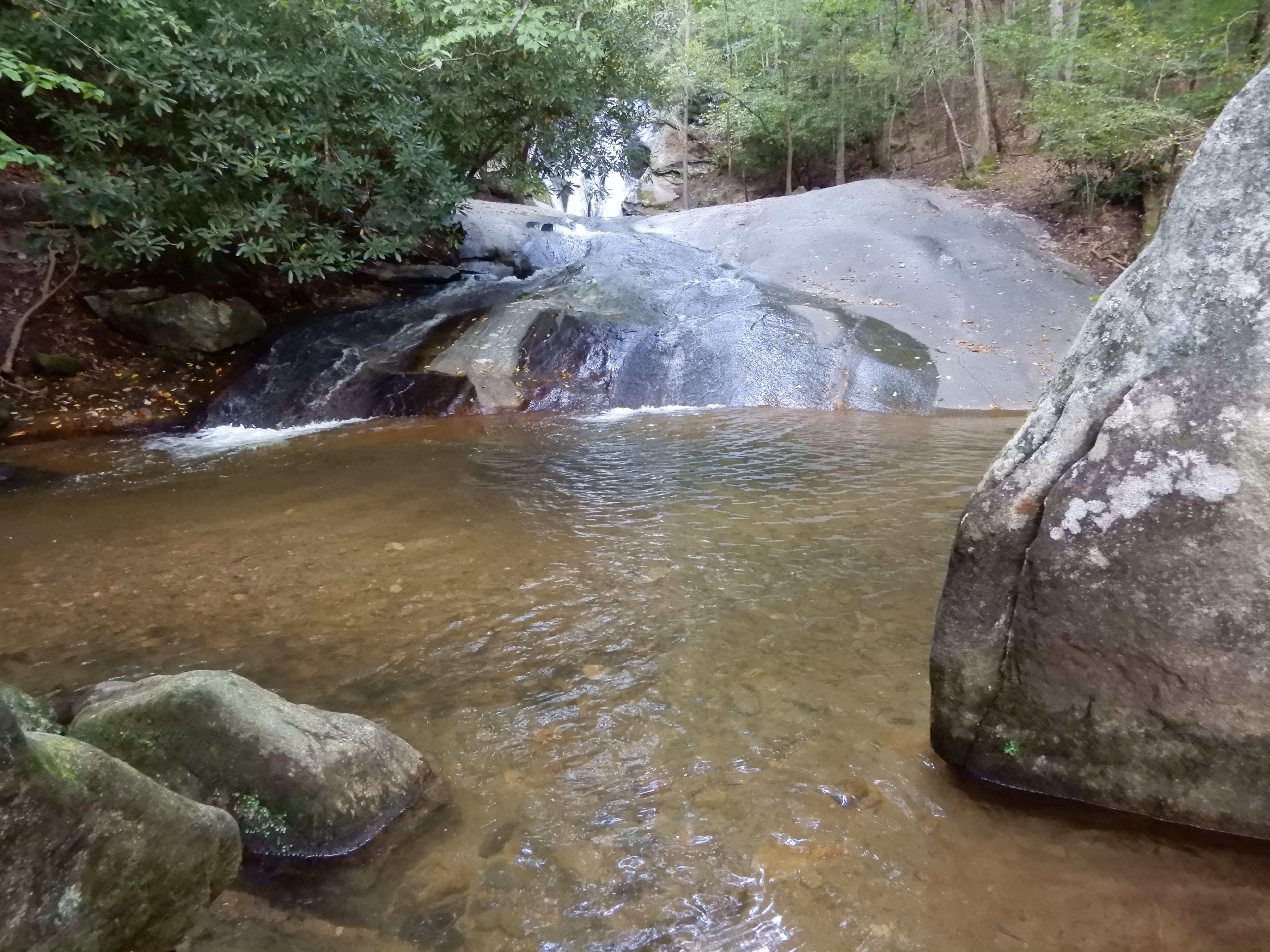
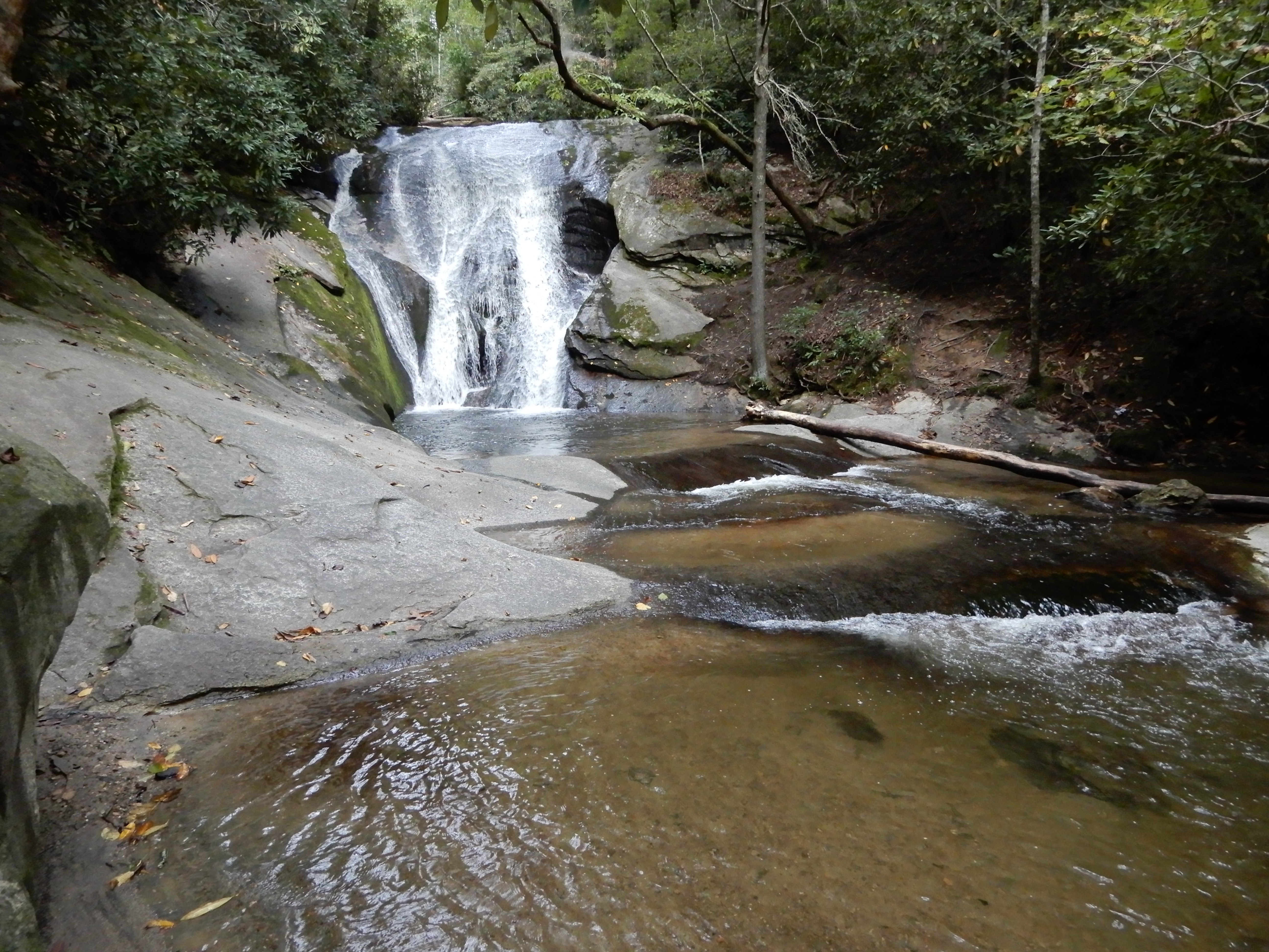
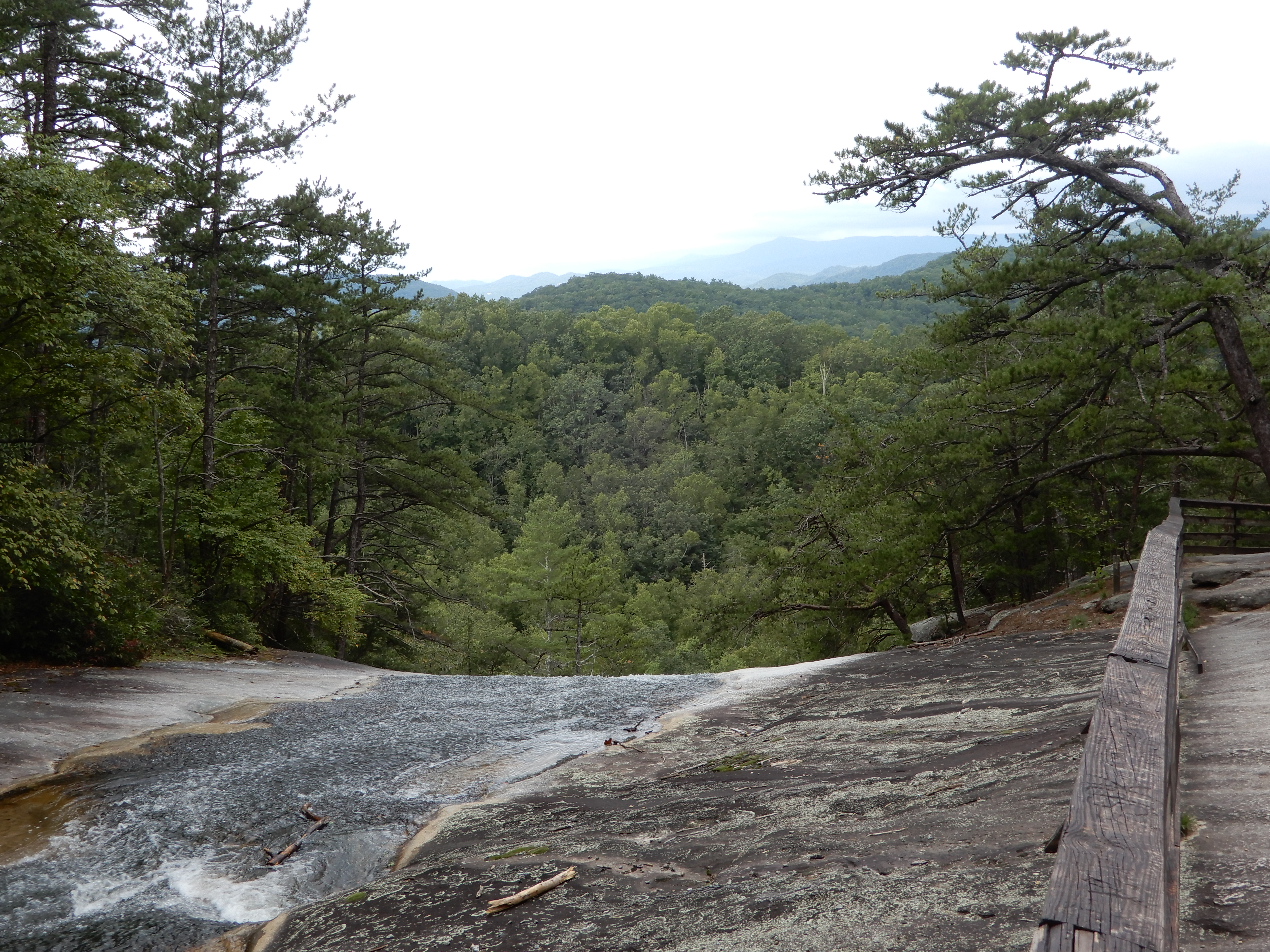
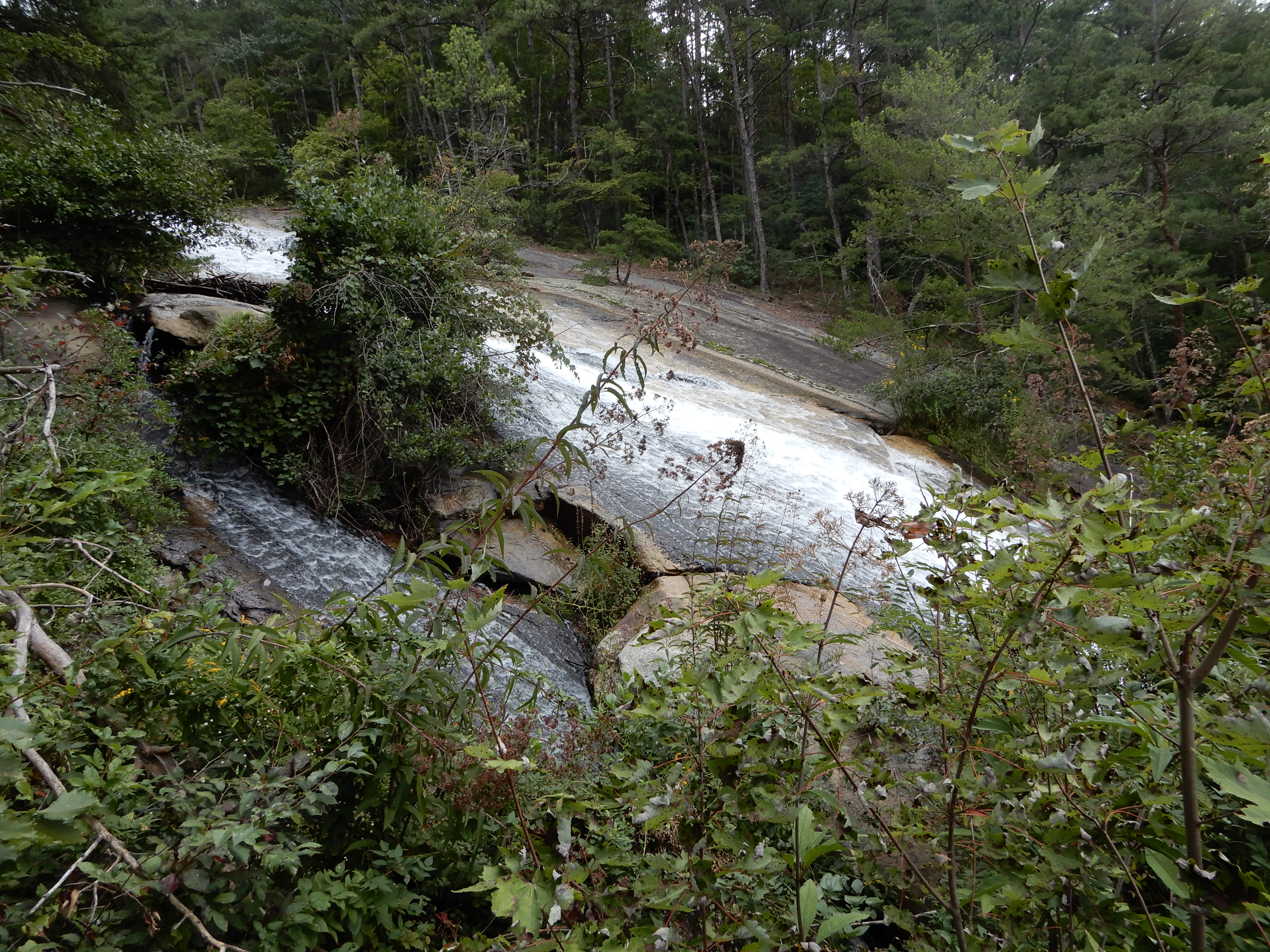
After, we continued on to see Stone Mountain Falls. We parked in the upper lot and took a moderate 2-mile hike.
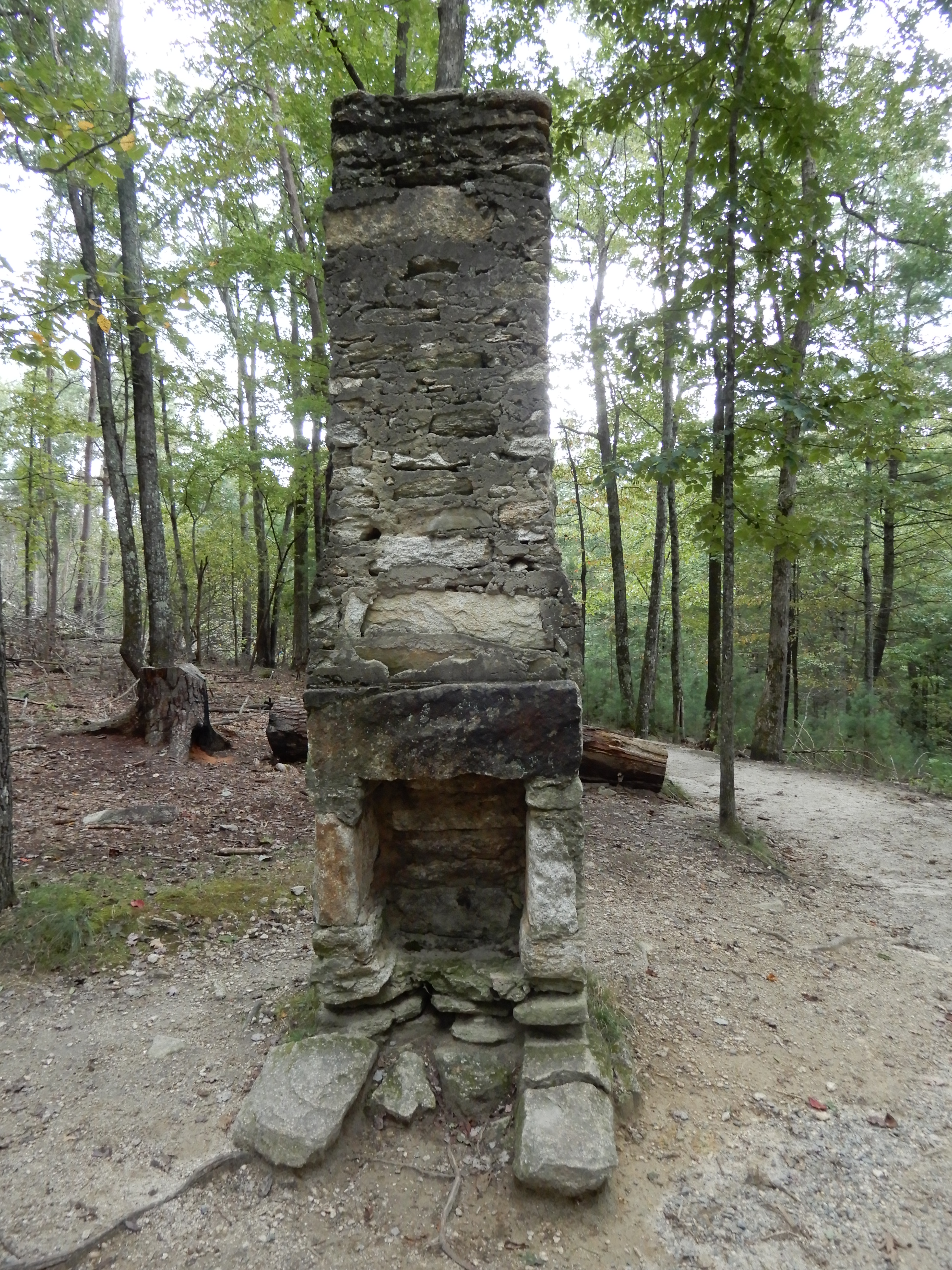
It took us by the remains of a cabin.
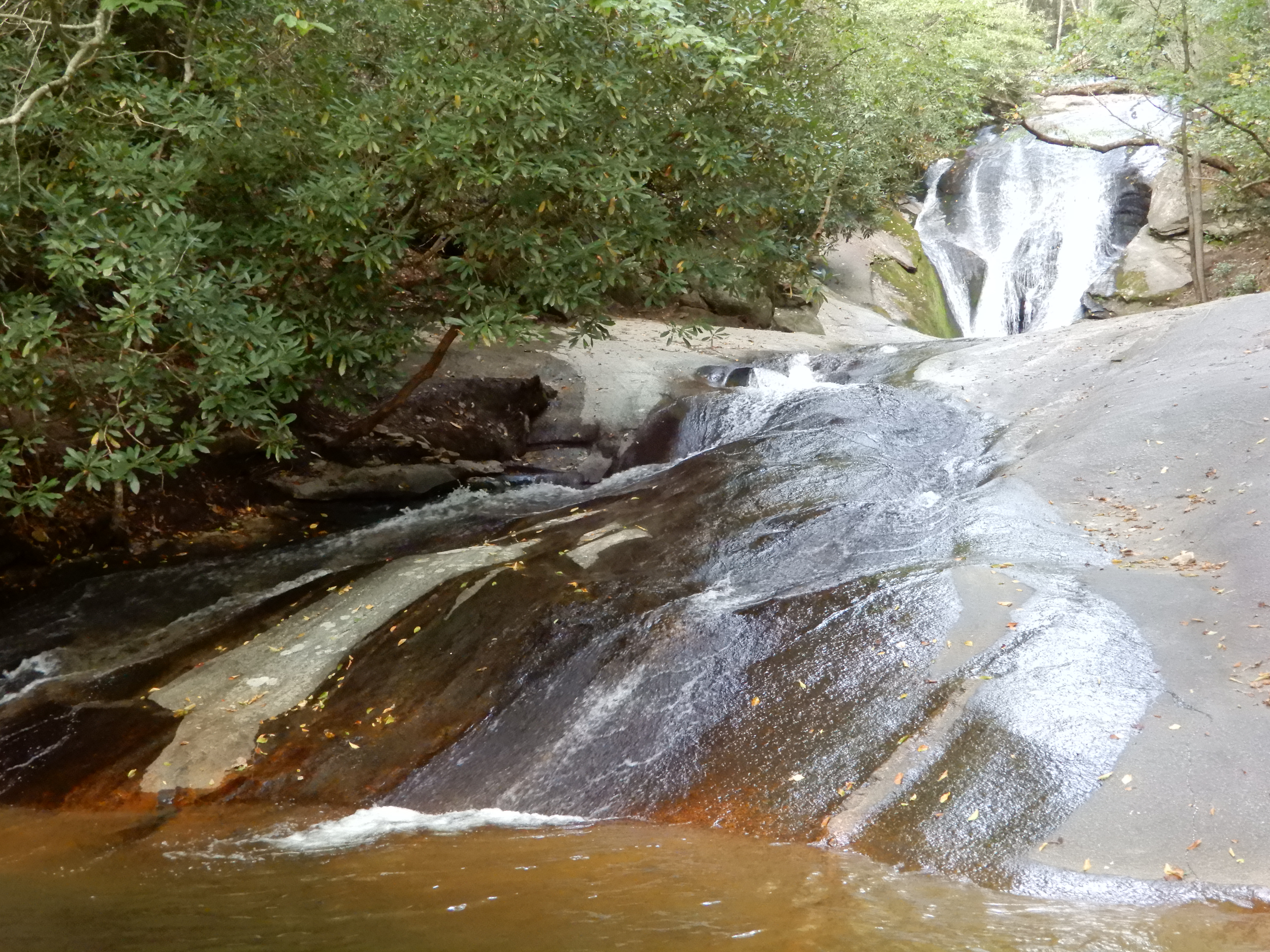
On to the top of the falls.
The falls were amazing, 200 feet down across a stone face.
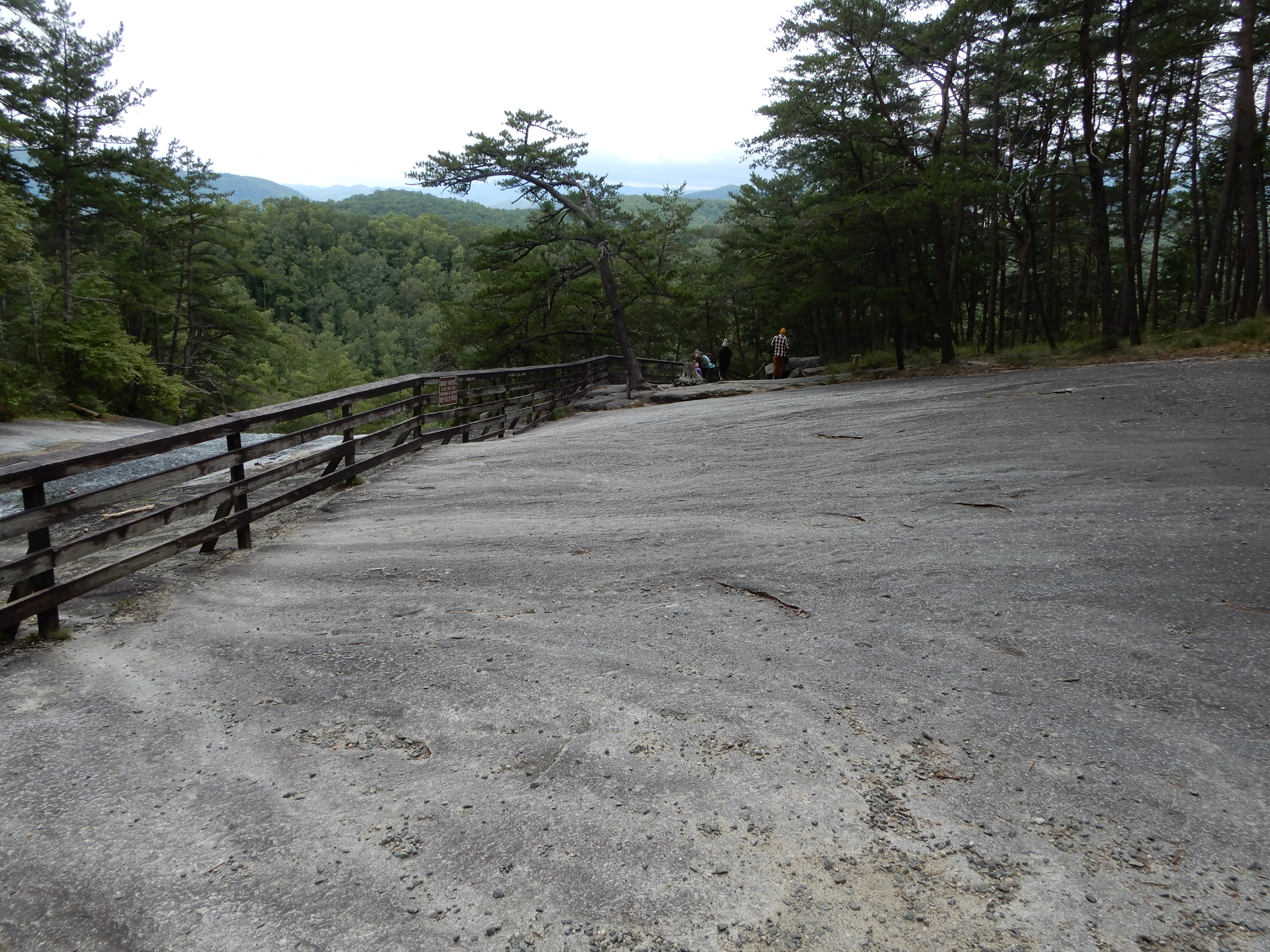
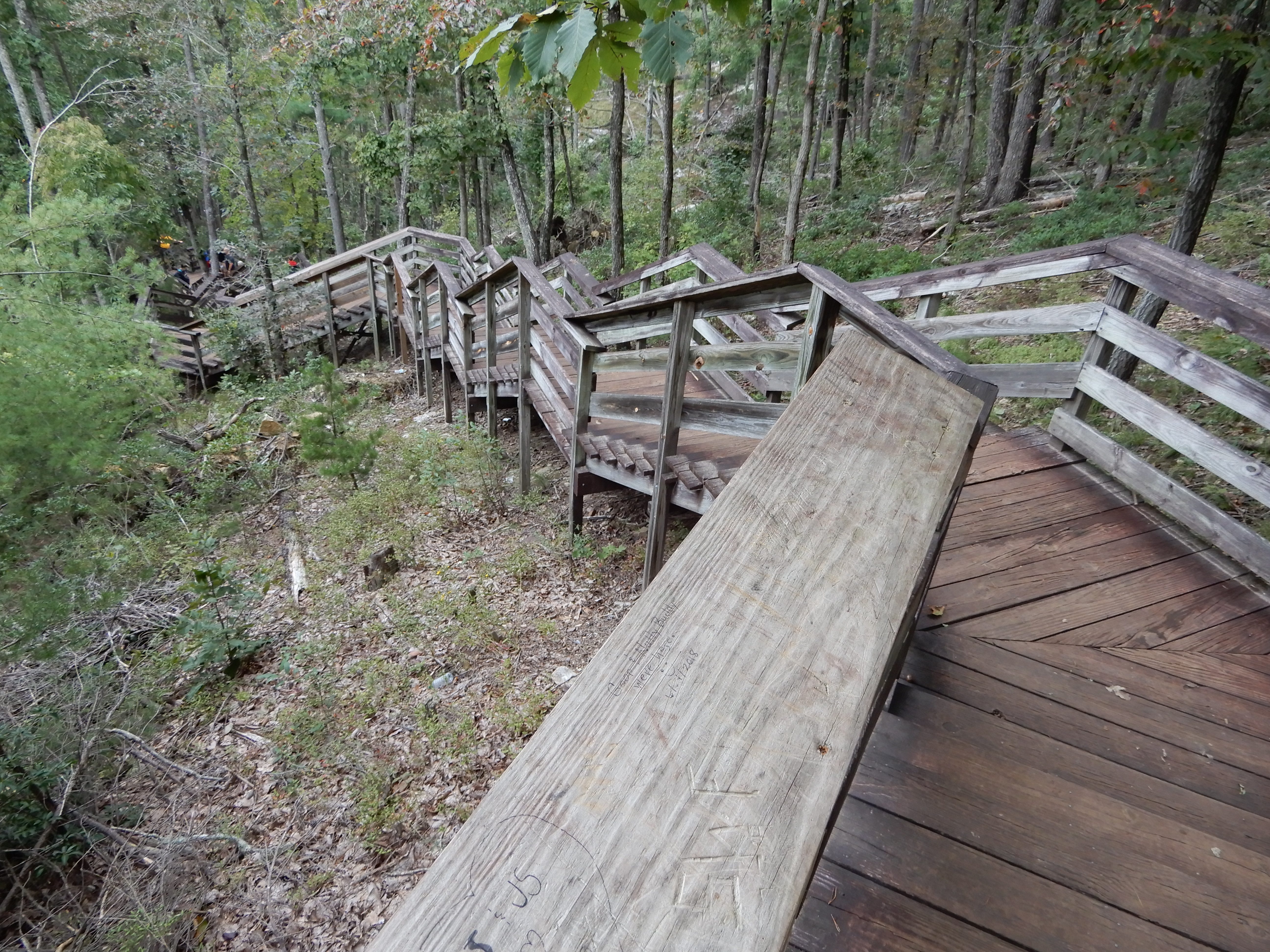
We didn’t walk down to the bottom, there were too many stairs.
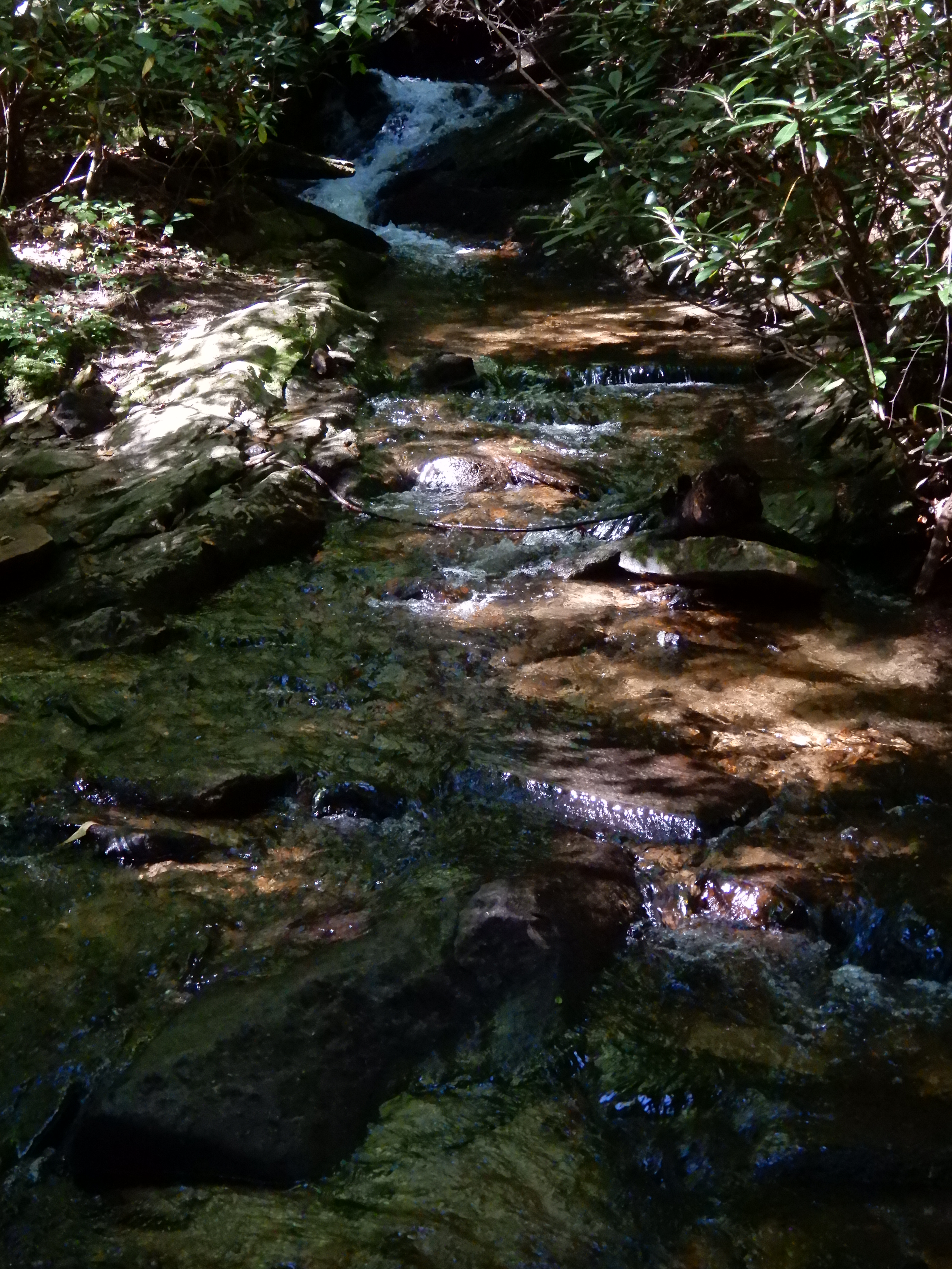
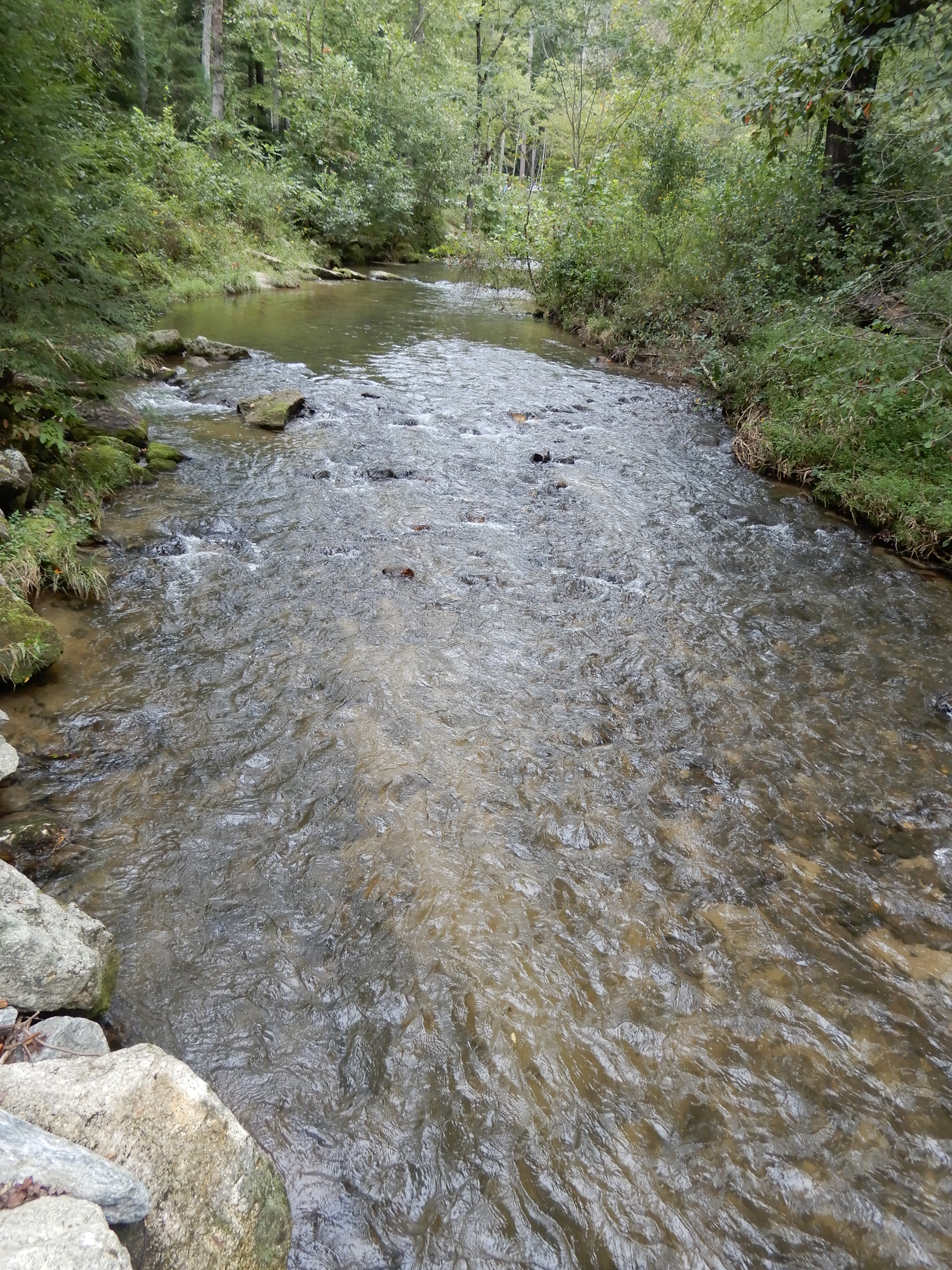
Returning to our motor home, we ate lunch and rested in the parking lot. On the way back out of the park we stopped to see some cascades on the side of the road.
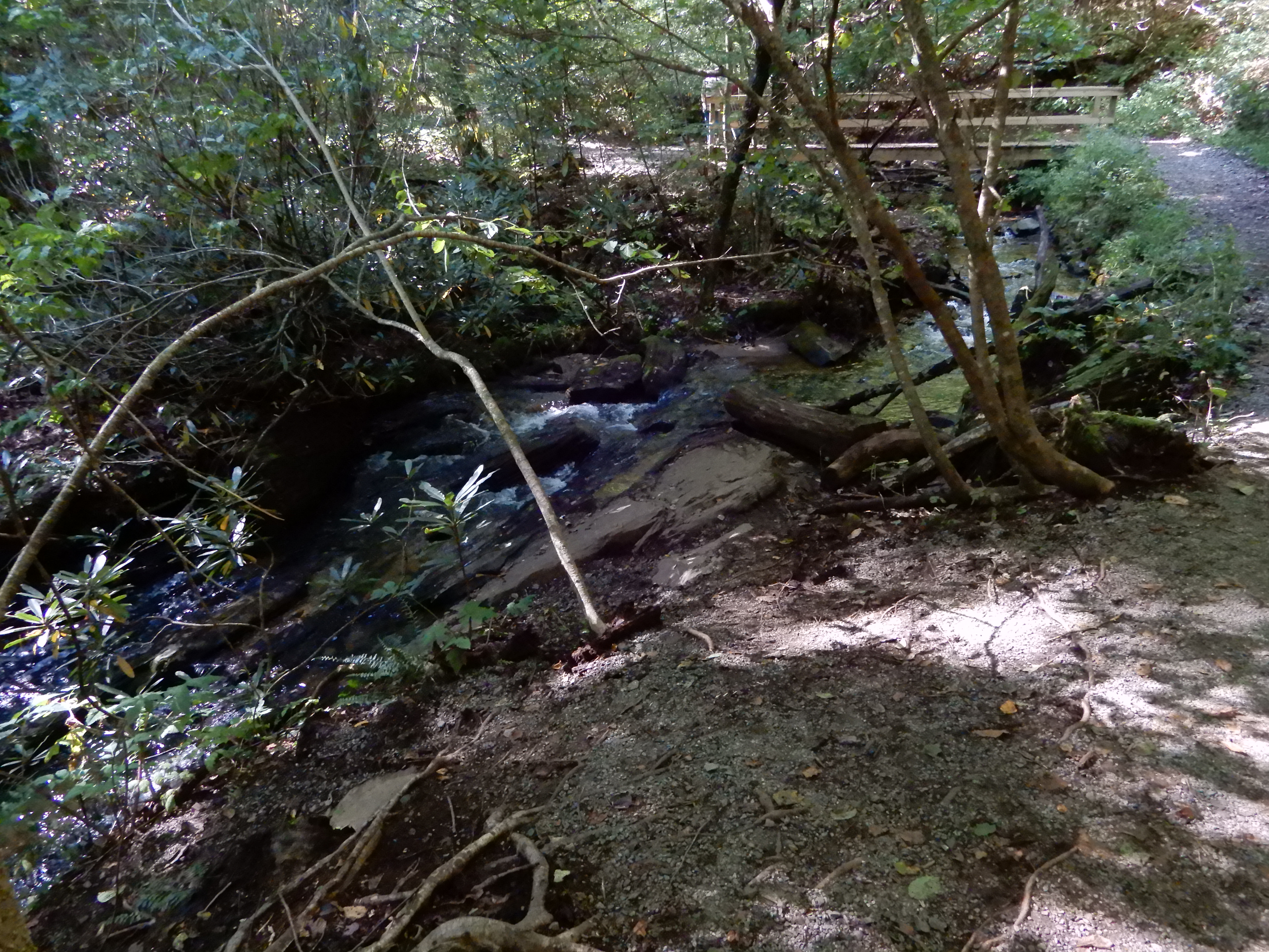
We tried to drive back to Cedar Stone Campground, but the back entrance was closed. We learned from a ranger that the park had become too crowded and Covid regulations forced them to close all entrances and exits except one. So we drove all the way back through the park to the front entrance. Sure enough, the police were directing traffic, allowing one car in whenever one car left the park. There was a line of several dozen cars waiting to get in. We wound our way through the country back to our campground, thank Garmin. It took us down this one narrow gravel road, but it was only a half-mile. We set back up at our site and spent the rest of the day there. We walked around the campground along the creek.
Next Location – South along the Blue Ridge Parkway, North Carolina
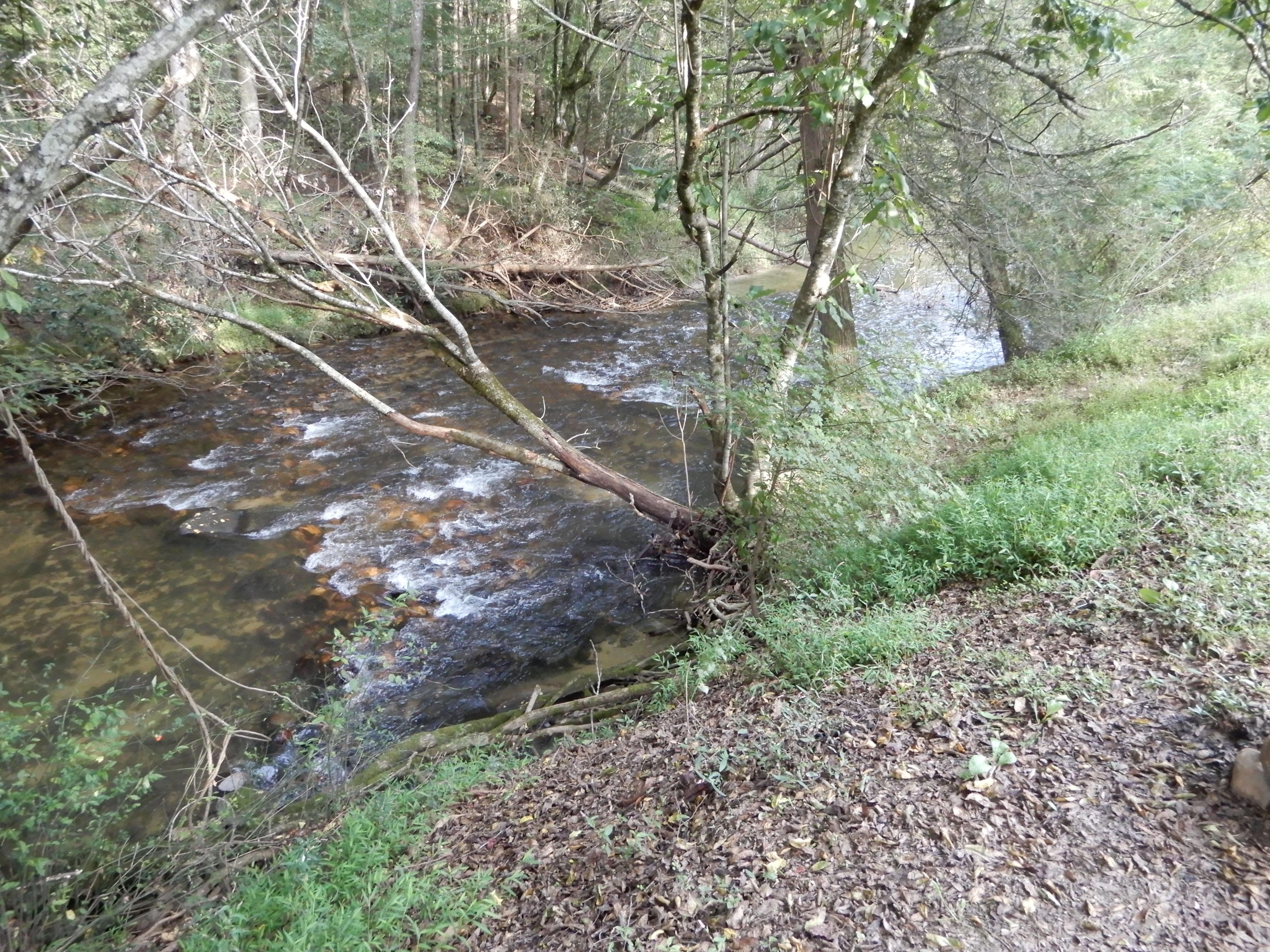
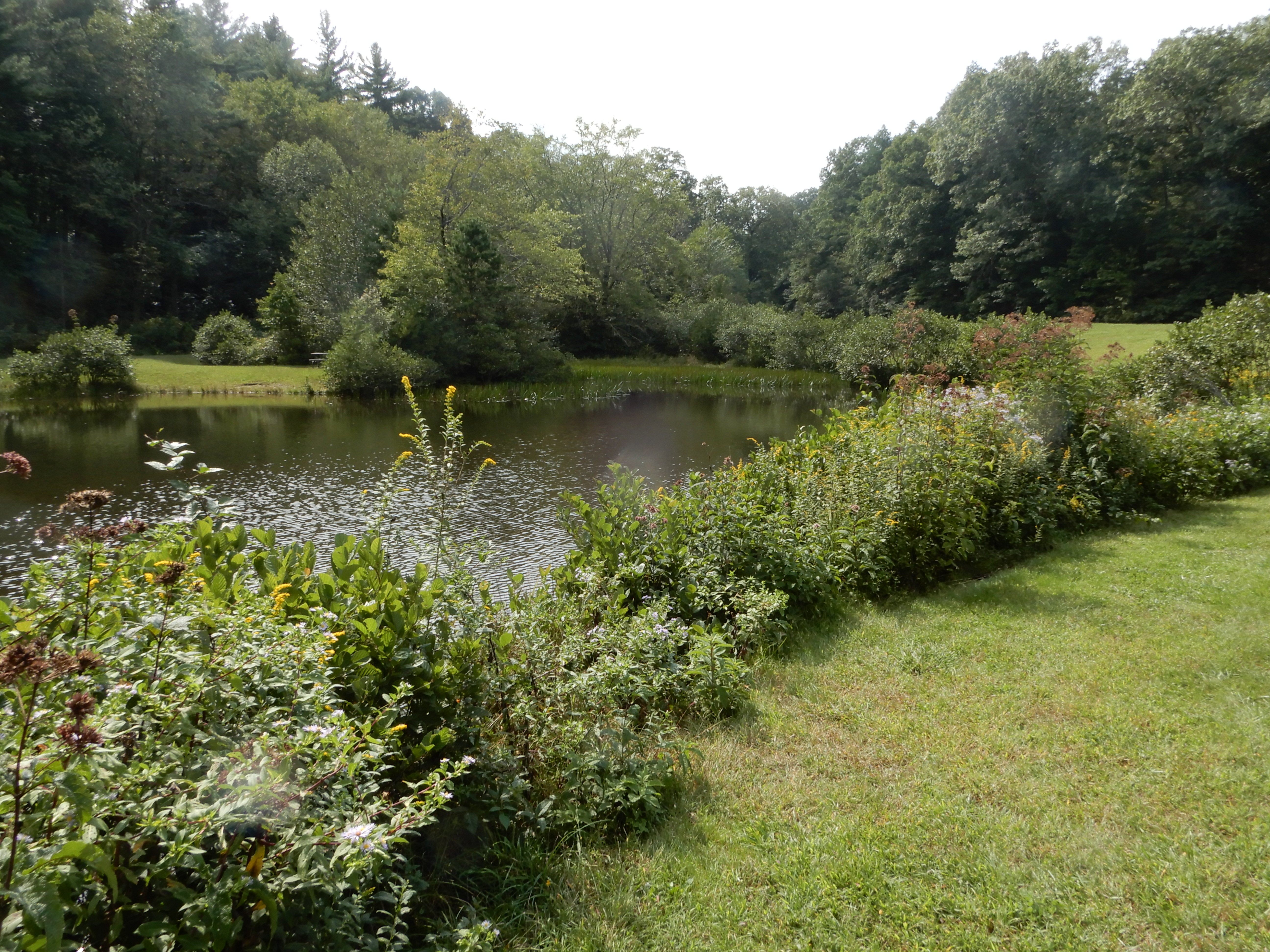
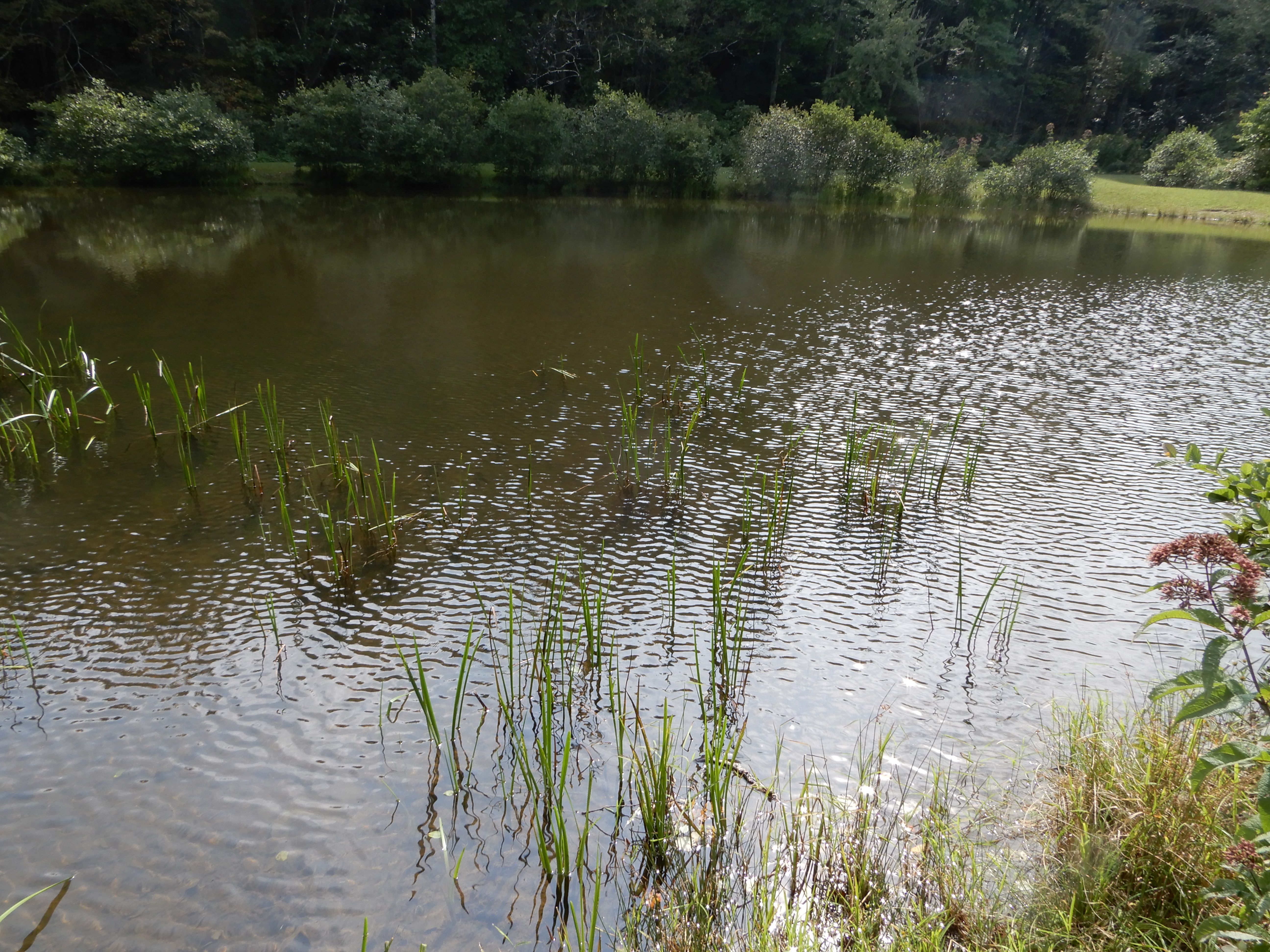
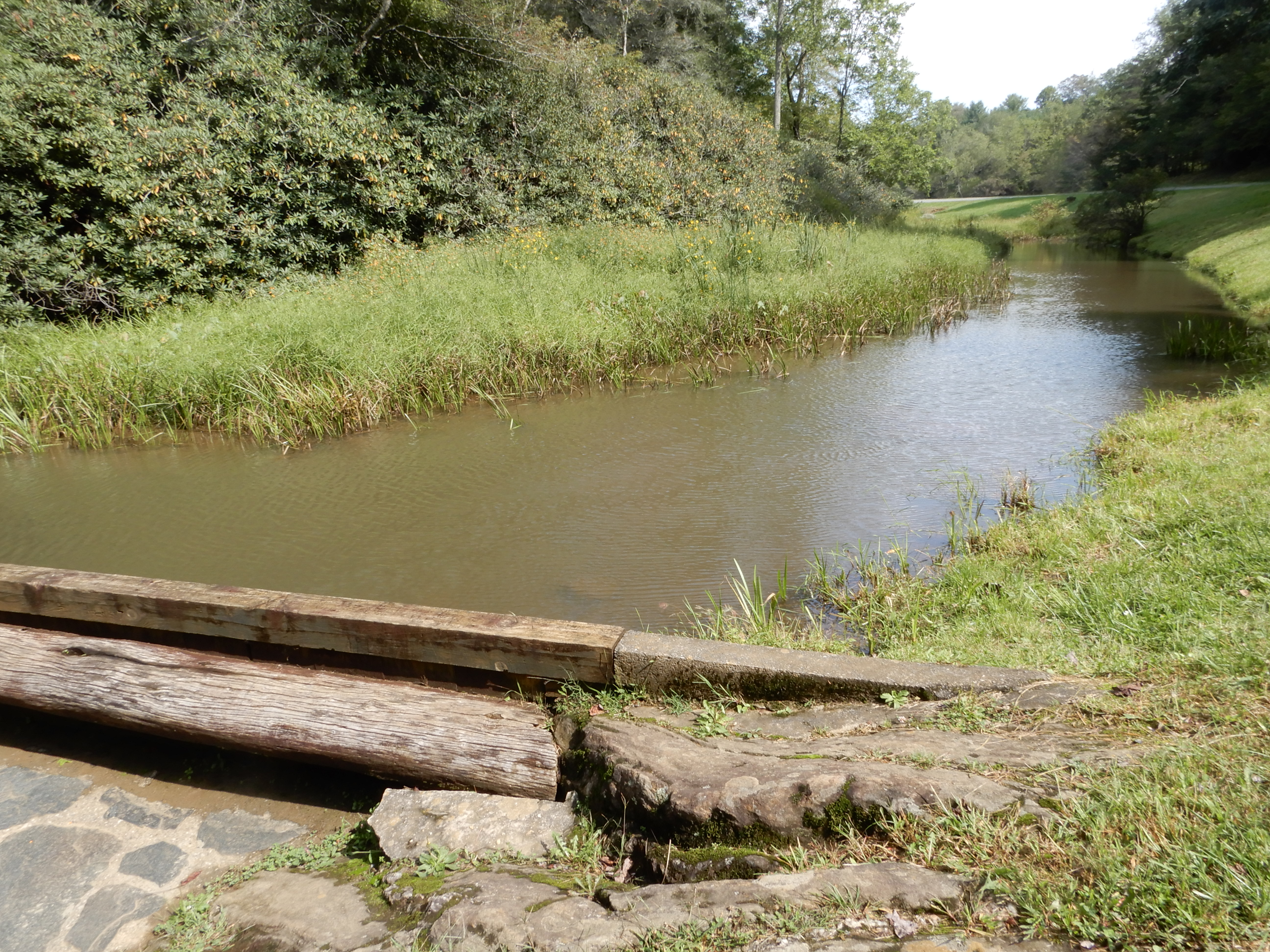
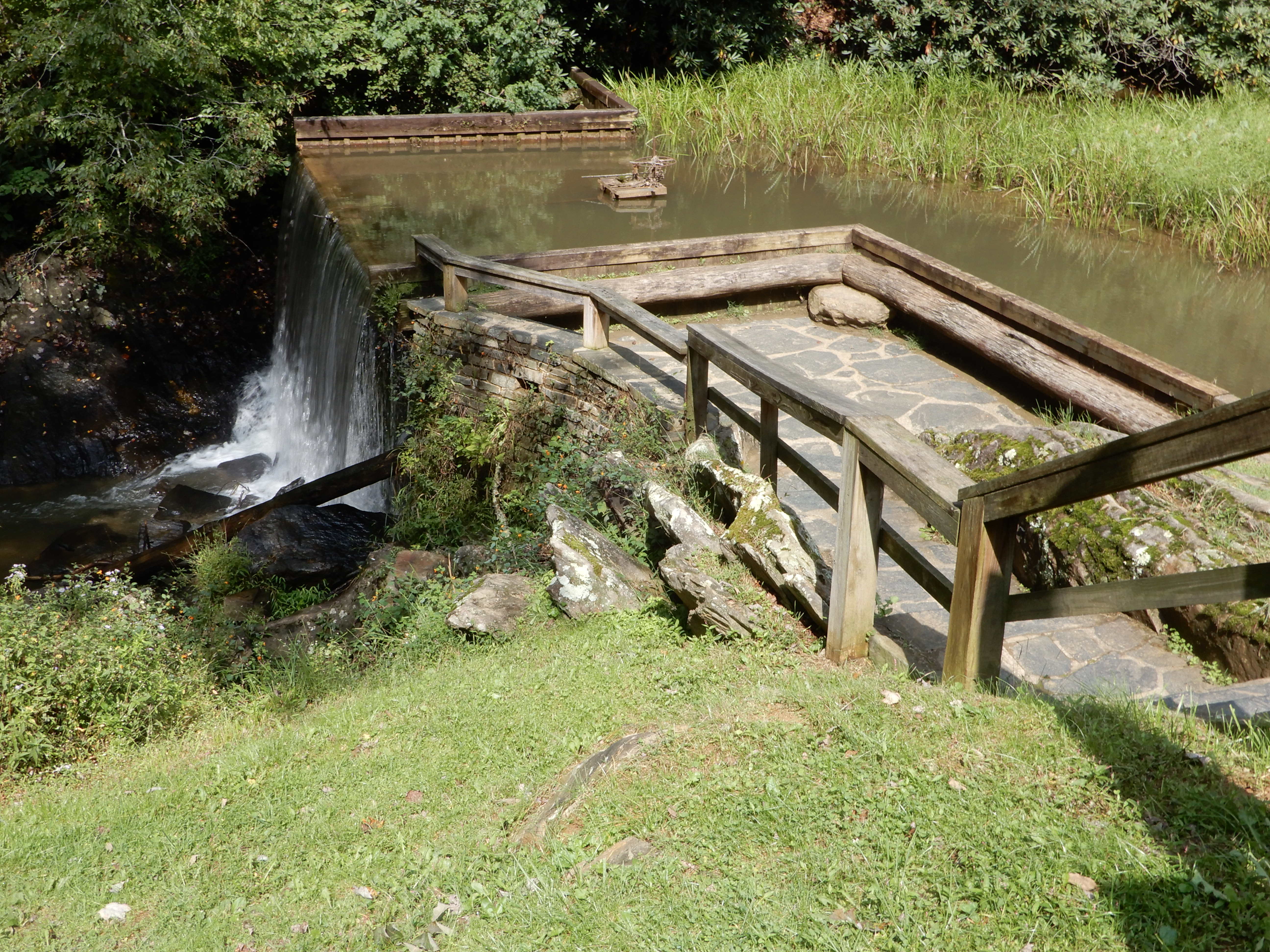
We continued from there across the state line from Virginia into North Carolina. We stopped at Little Glade Mill Pond. We walked around it to give our legs a good stretch.
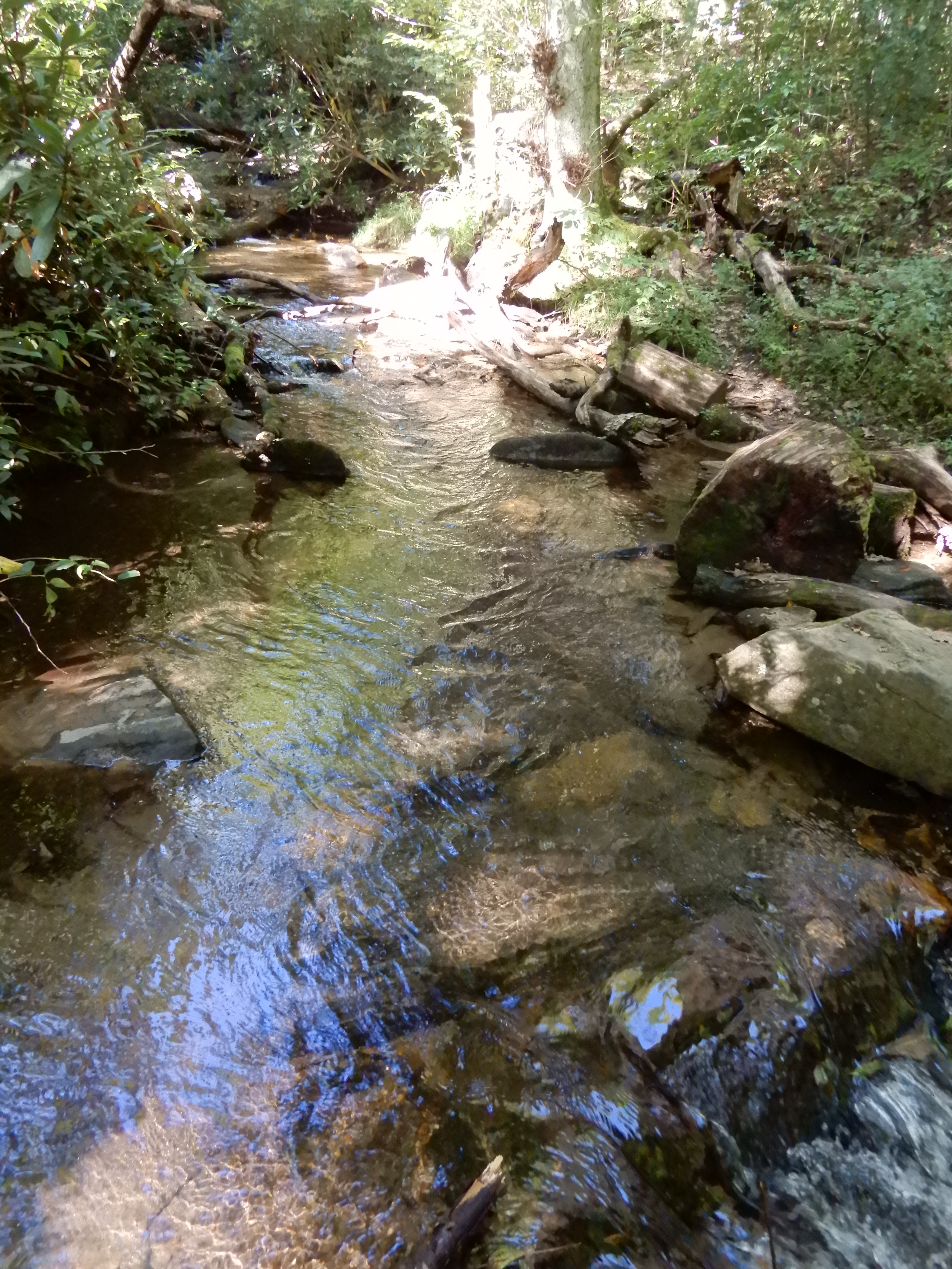
We hadn’t walked enough, so we followed the creek that fed into it for a short distance.
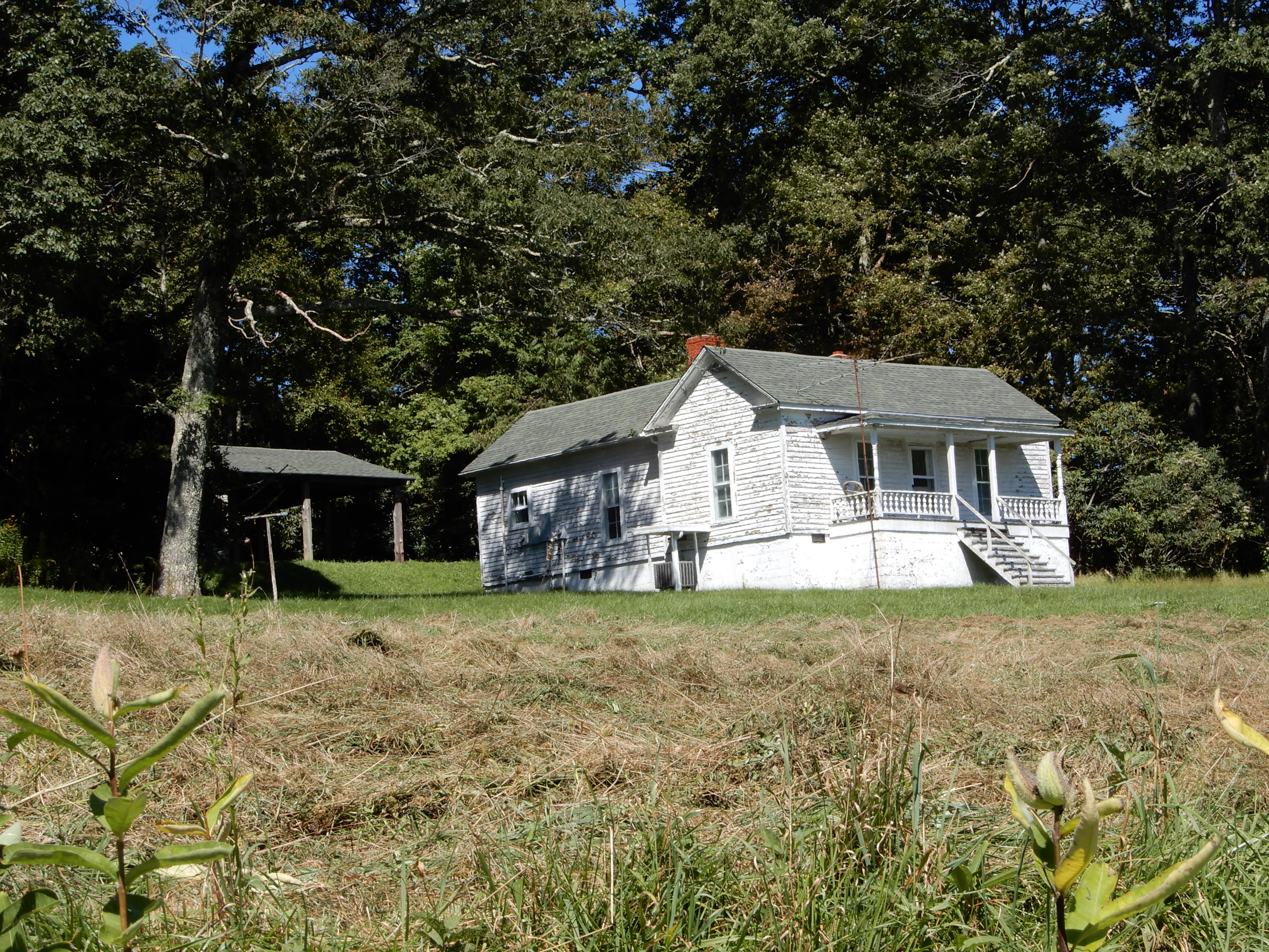
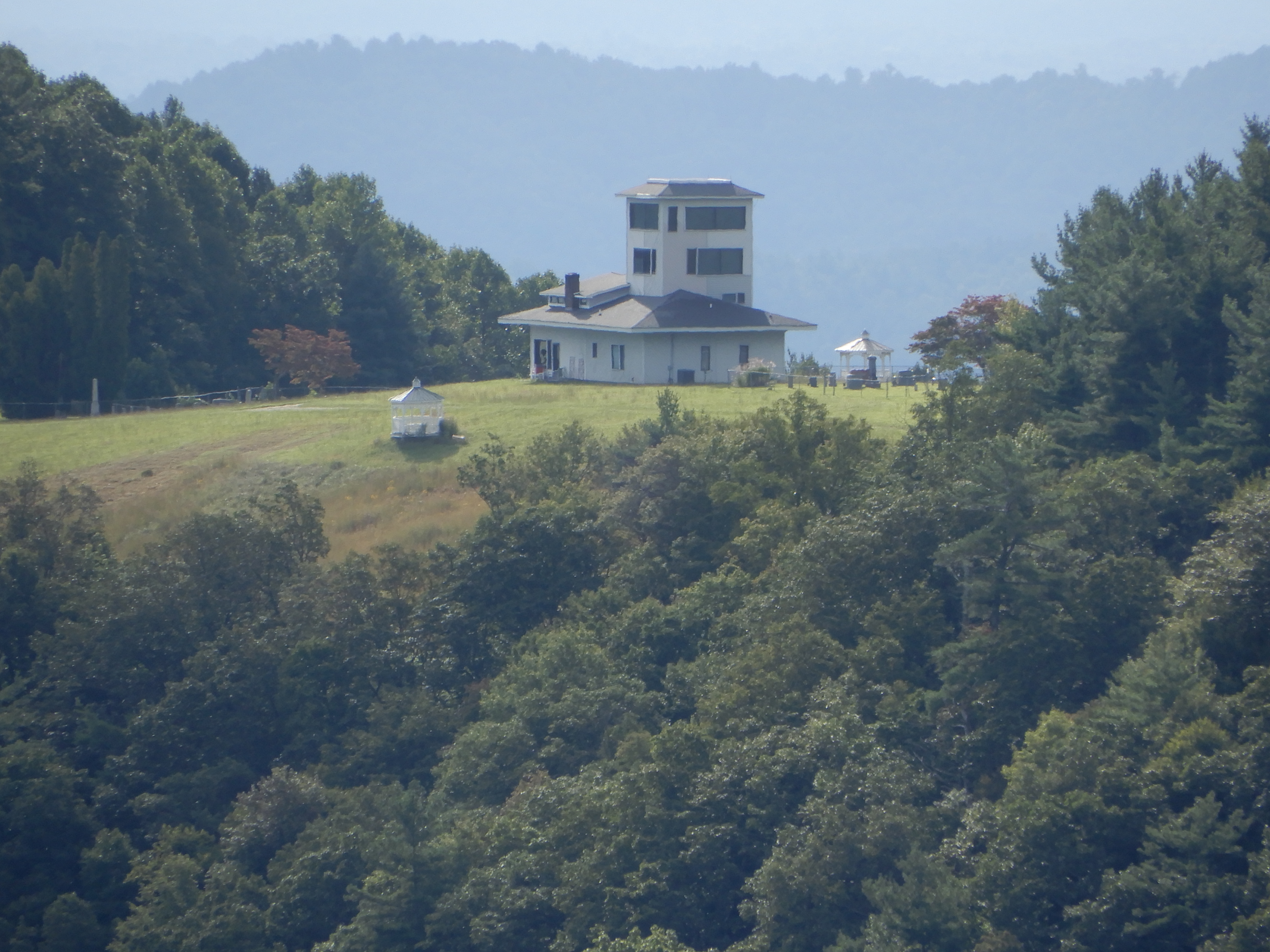
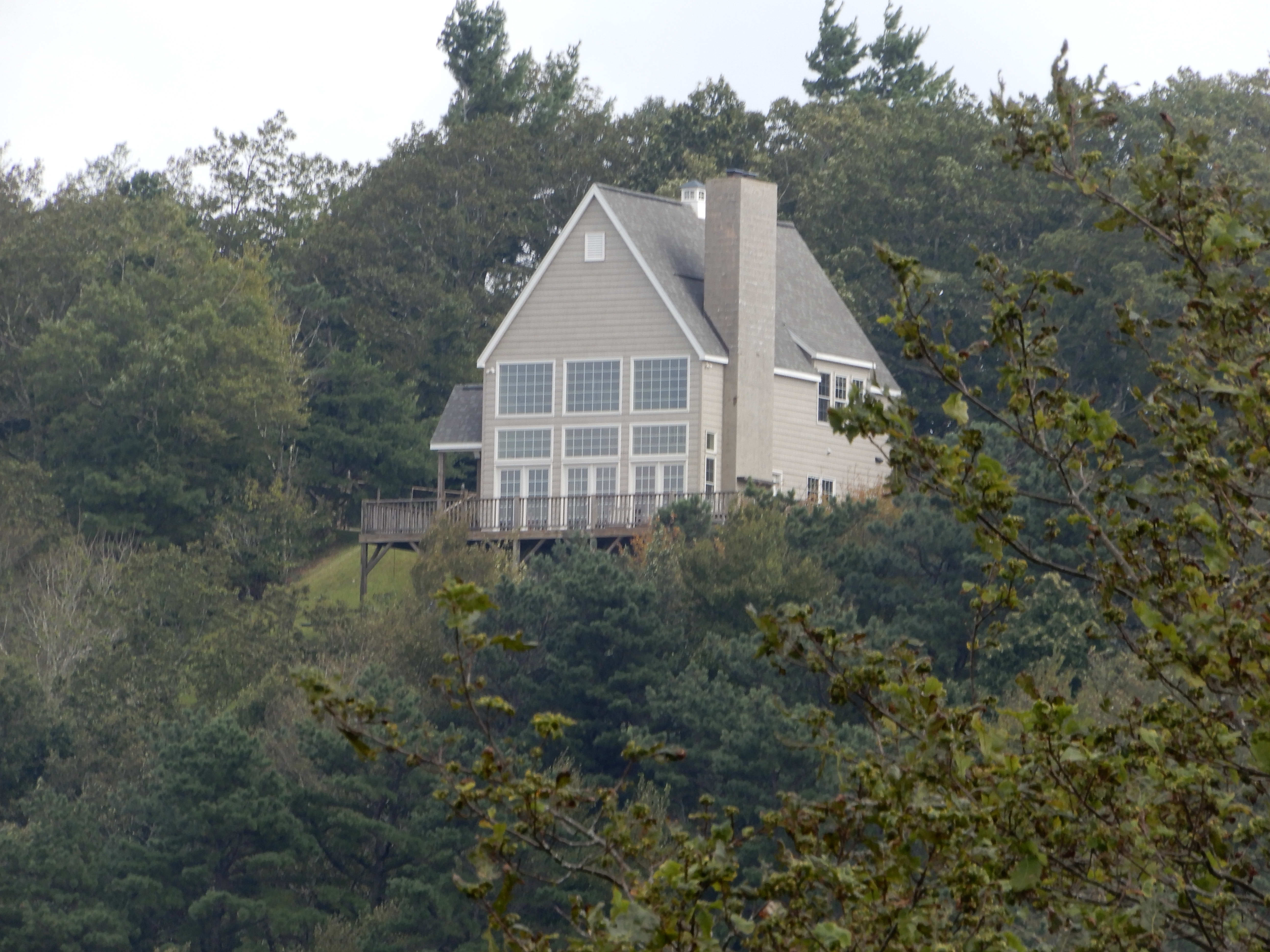
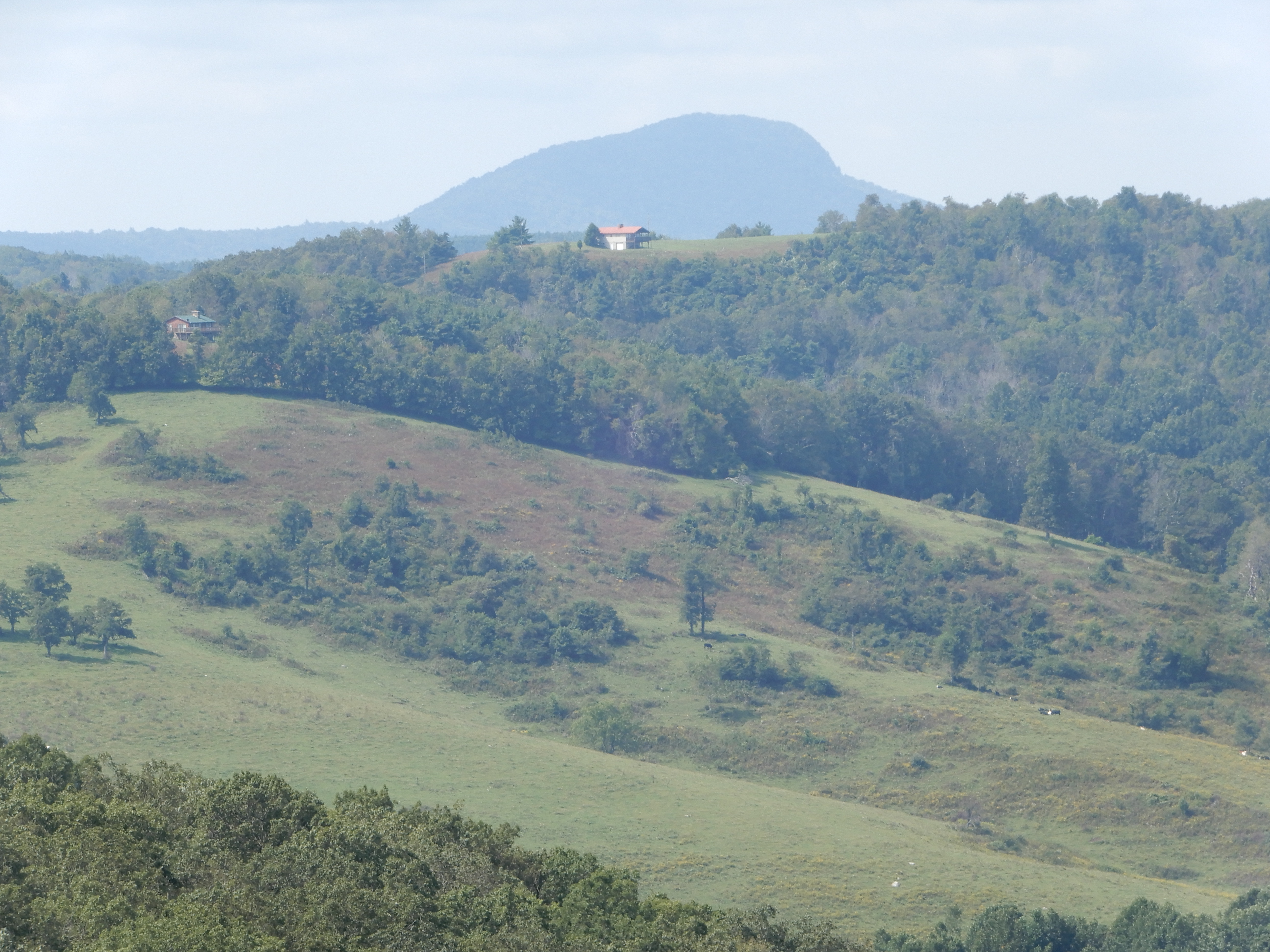
We got back into the motor home and continued south on the Parkway. This house set off by itself certainly had a good view,
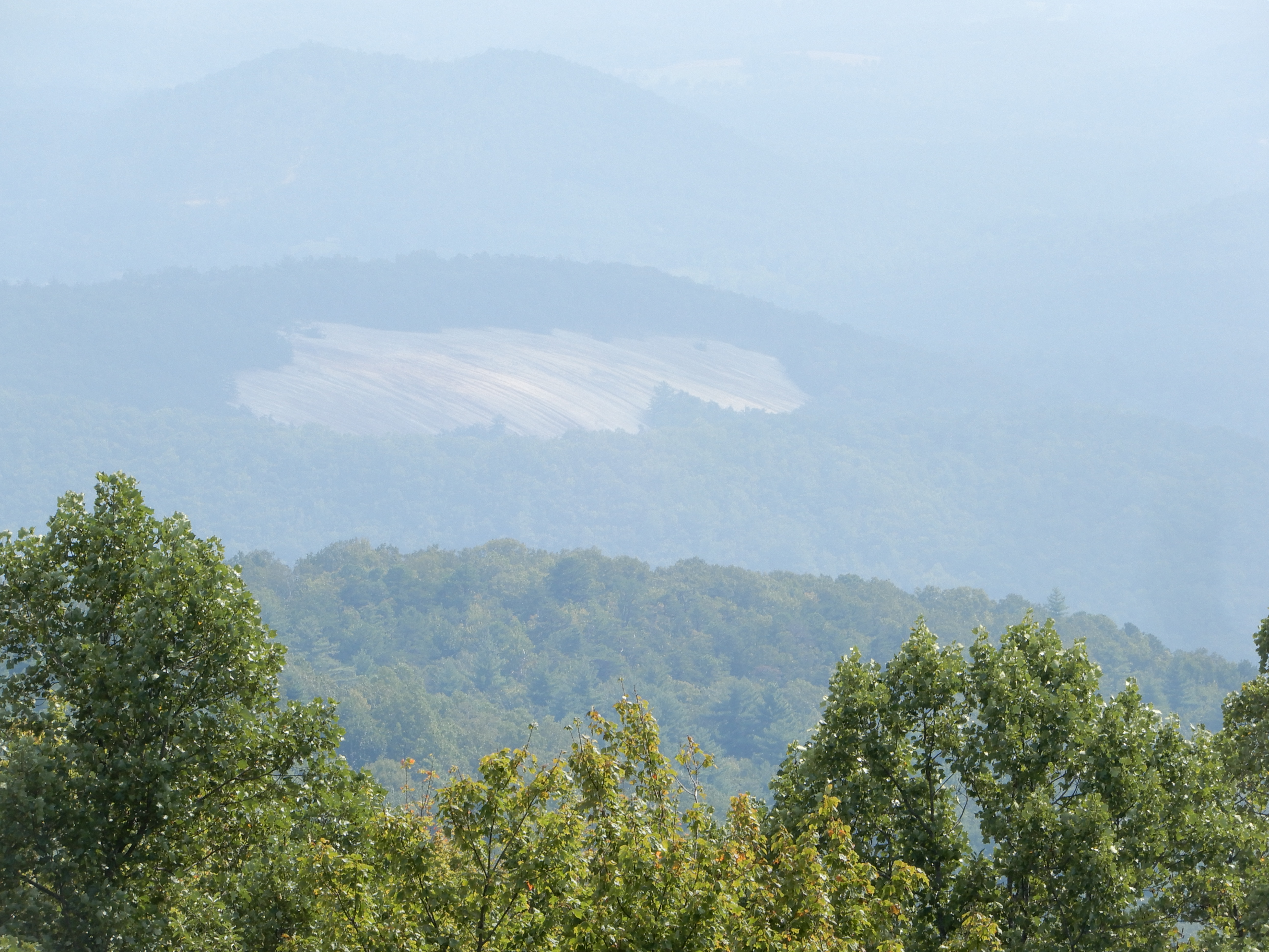
We saw this unusual sight – bare rock surrounded by lush forest. No sign of a forest fire. Perhaps there was a coal deposit underground that had caught fire, making the ground above it too hot to support life? I’ve heard of that, and this was coal country.
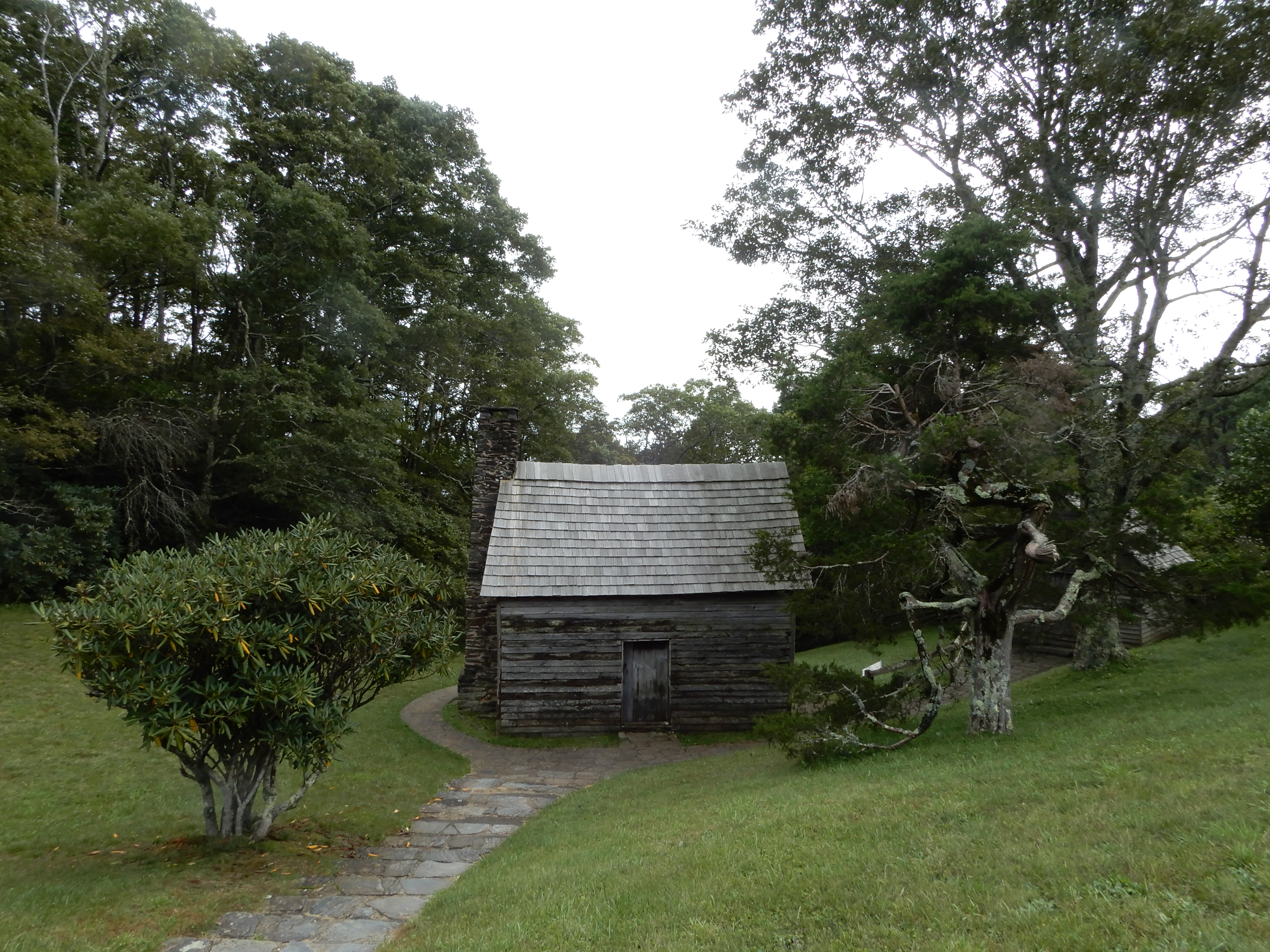
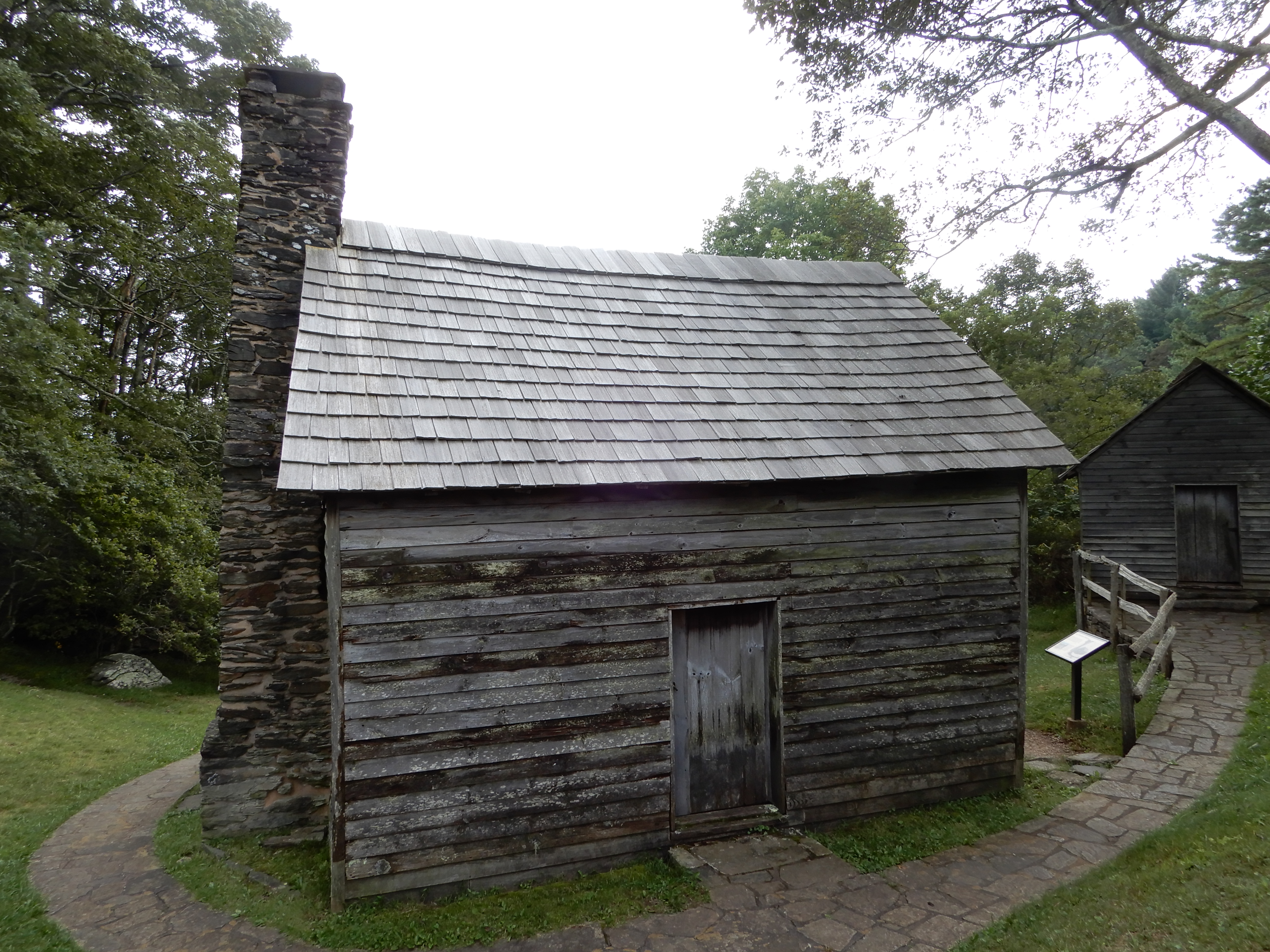
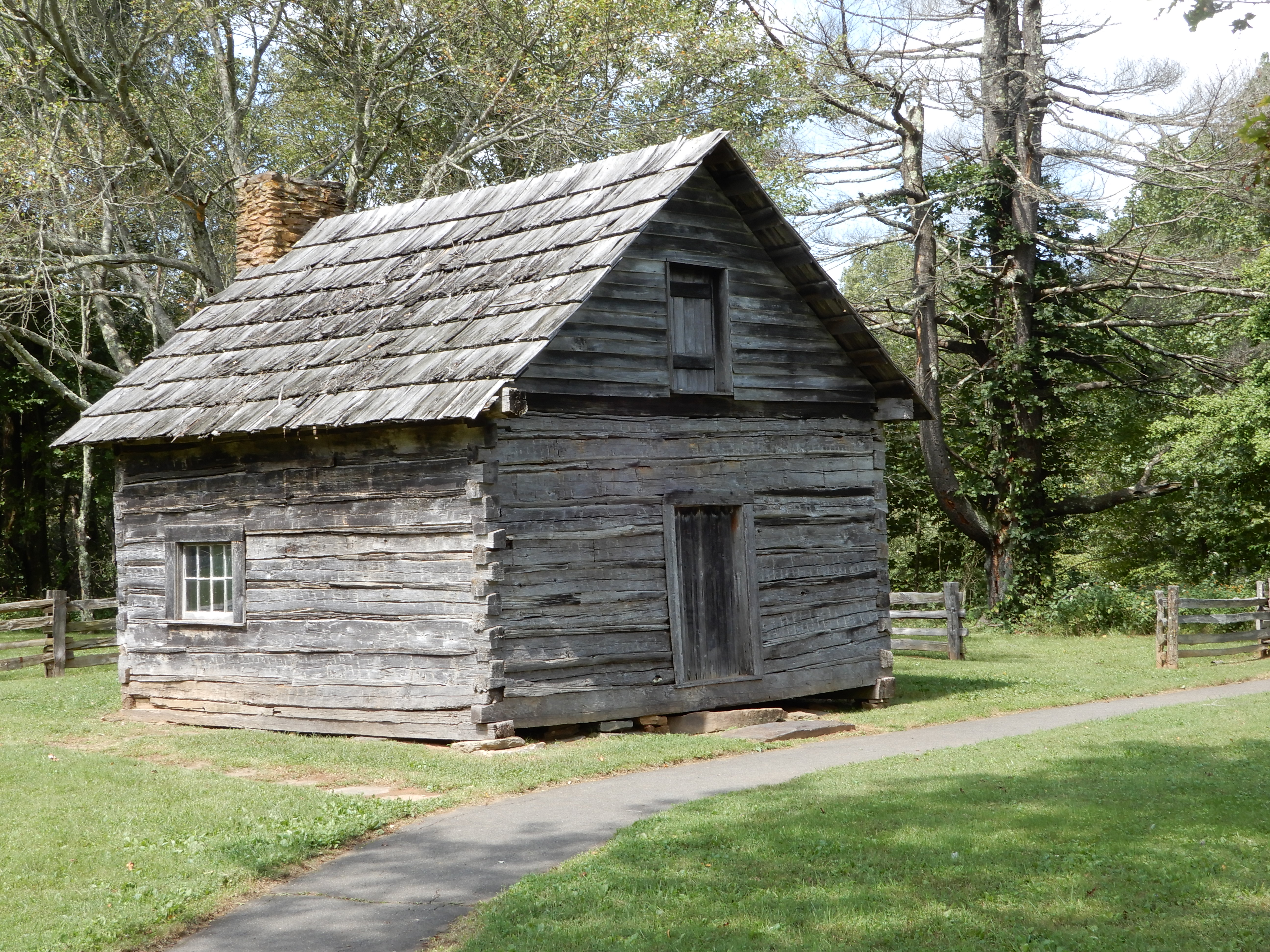
Our next stop was the Berringer Cabin.
Then we found out Doughton Park Campground at MM243, where we had intended to camp, was closed. So we backtracked 11 miles and got off the Parkway to drive to Stone Mountain State Park. It was a winding twisty way to get there as it was deep in the mountains. They were full, but the park ranger directed us to a private campground. To get there we had to drive all the way through the park, another nice drive. We got a site at Stone Cedar, a small place just outside the park at the foot of a mountain next to a fast-running stream. Beautiful. After dinner I had a fire and sat out until it was pitch black.
Next American Location 12: Stone Mountain State Park, North Carolina
Woke up early in the morning to rain. Learned it was going to rain all day and night long, ending sometime the next morning. We left the Peaks of Otter Campground and drove down off the Parkway looking for a campground with hookups. Located one in Roanoke. Driving to it, we ended up back on the Parkway. We came to where it was closed for repairs at MM115, where we exited for the Virginia Explore Park, still inside the park. Apparently this is a private campground operated by a vendor within the Parkway’s boundaries. We got a site with electric to wait out the rain.
The rain ended during the night. We left the Explore Park Campground late that morning and took the detour through Roanoke to get around the shut-down section of the Parkway. We got back on the Parkway late that morning at MM136. The rest of the day was a very pleasant. Most of it was spent driving through farmland.
We stopped at Rake’s Mill Pond to eat lunch.
After lunch, we drove to Rocky Knob, but the visitor center was closed (once again) and it was too early to stop to camp. So we continued south.
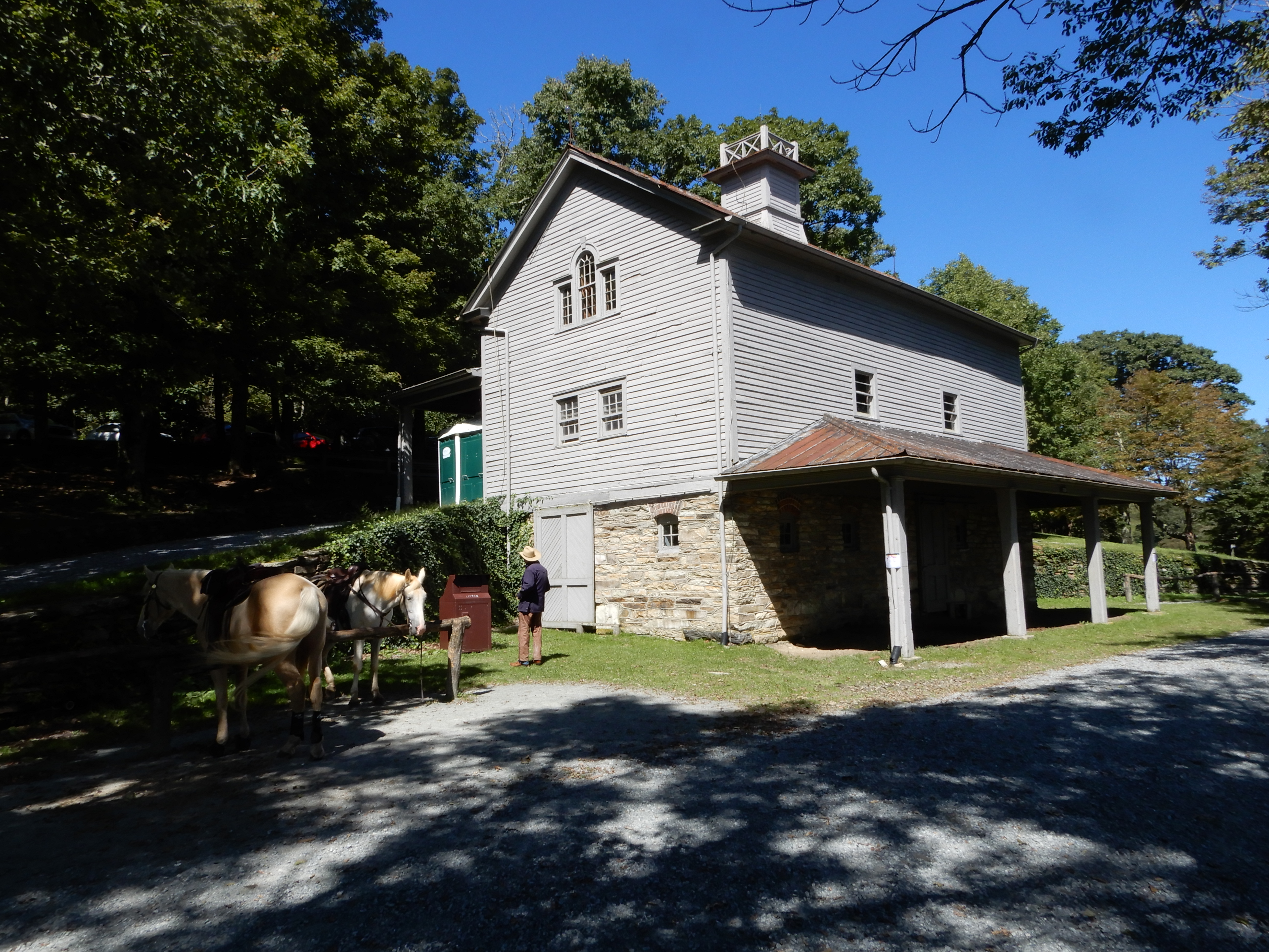
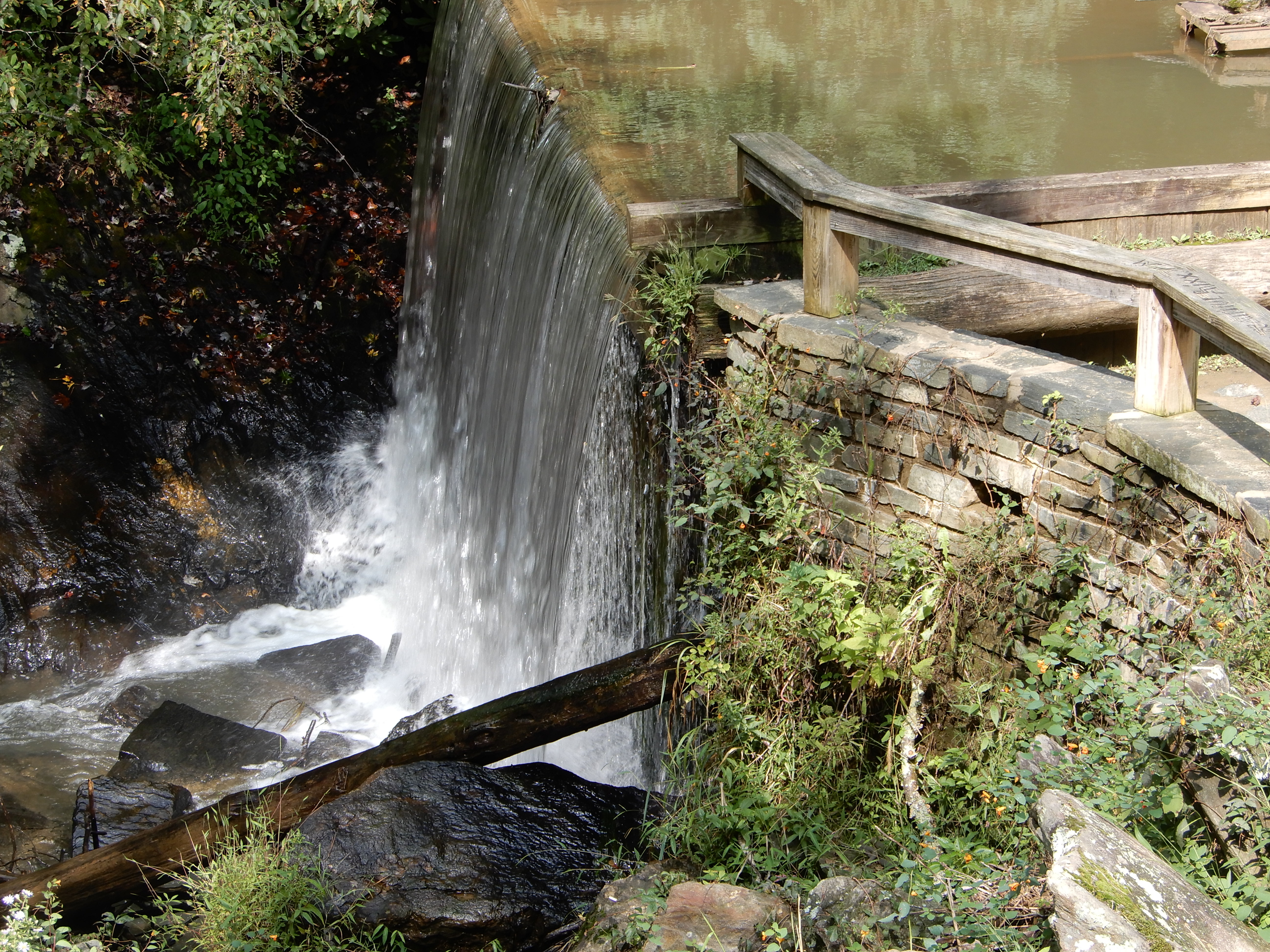
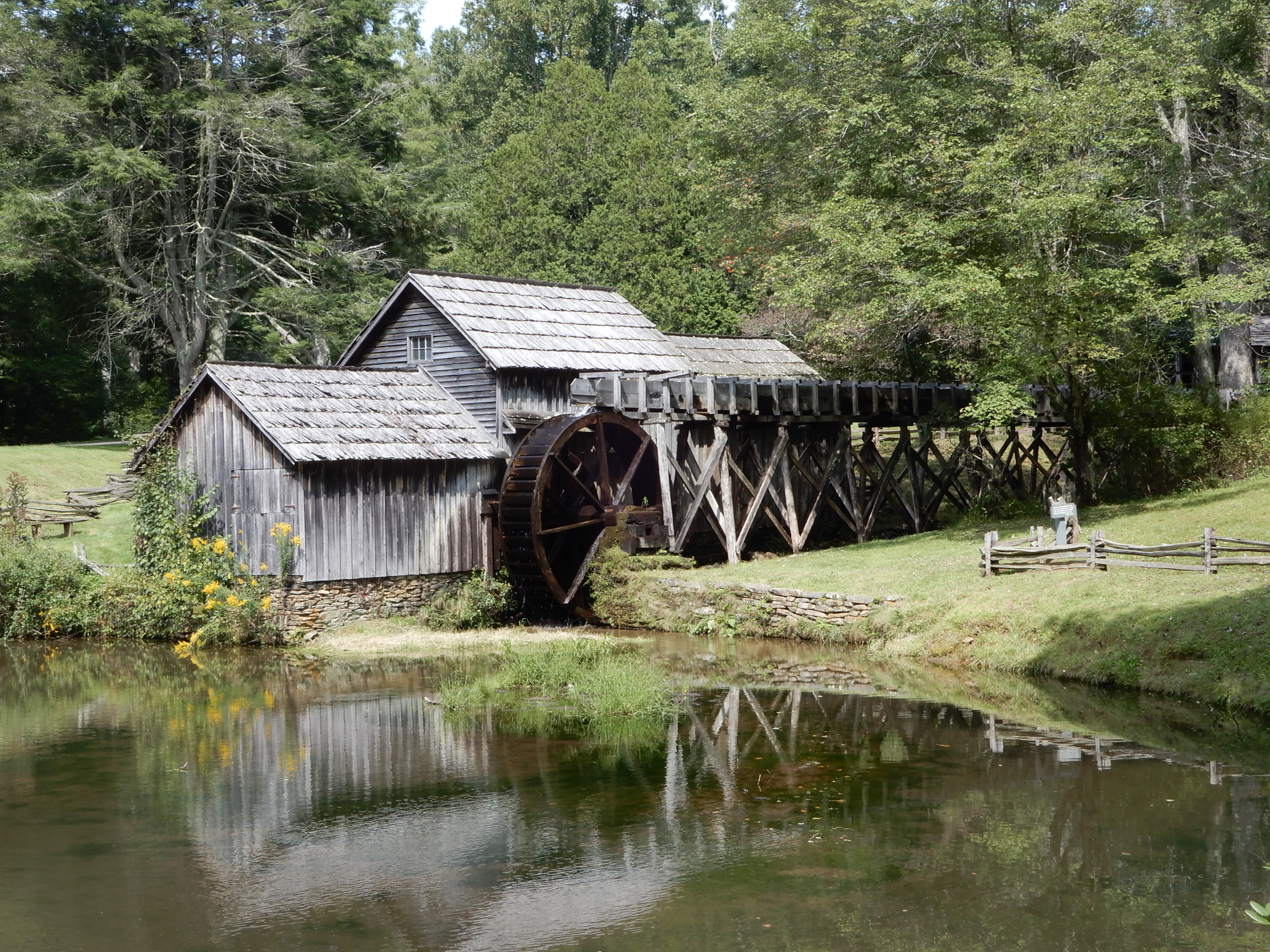
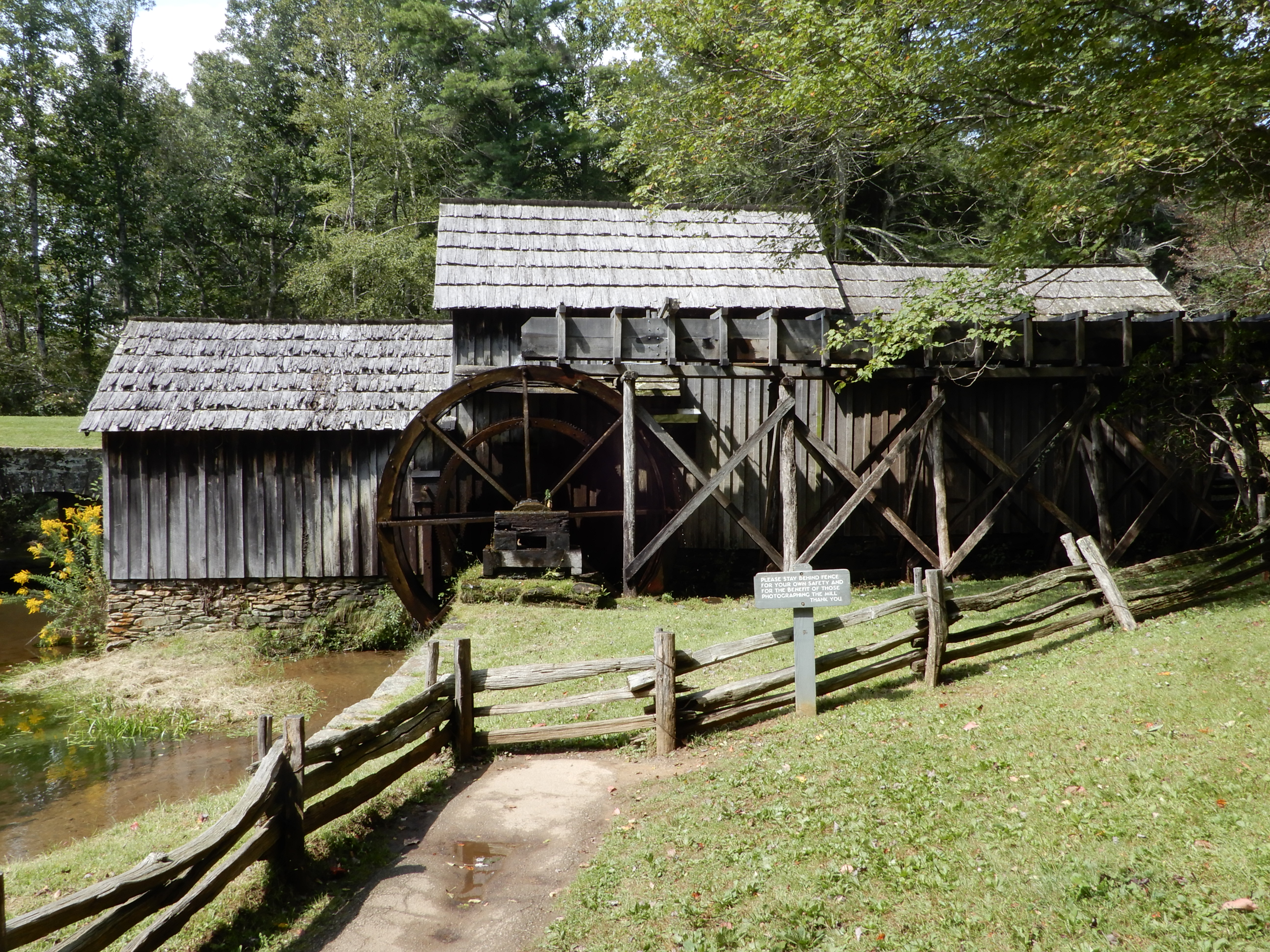
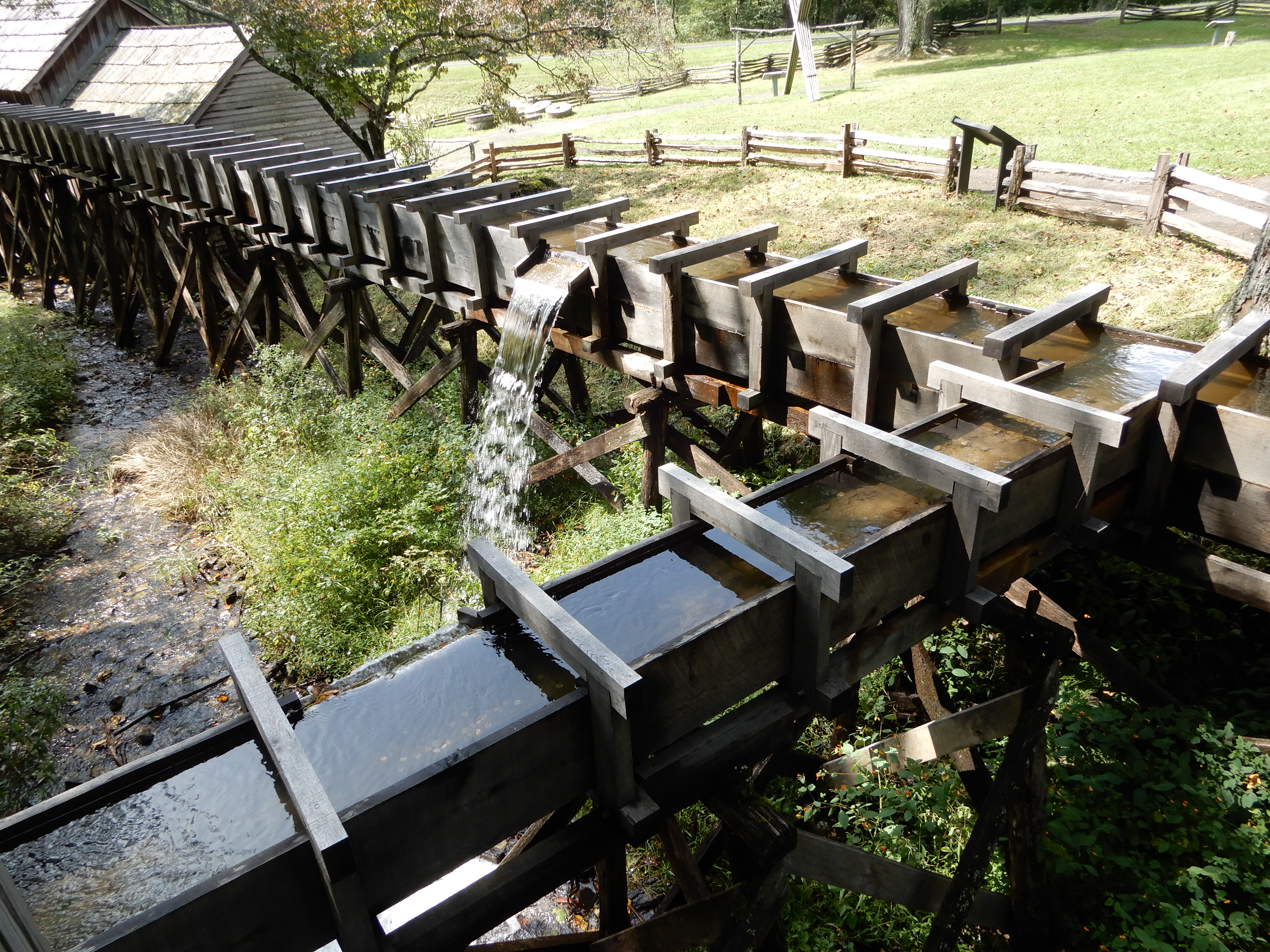
We stopped at Mabry Mill and walked around there.
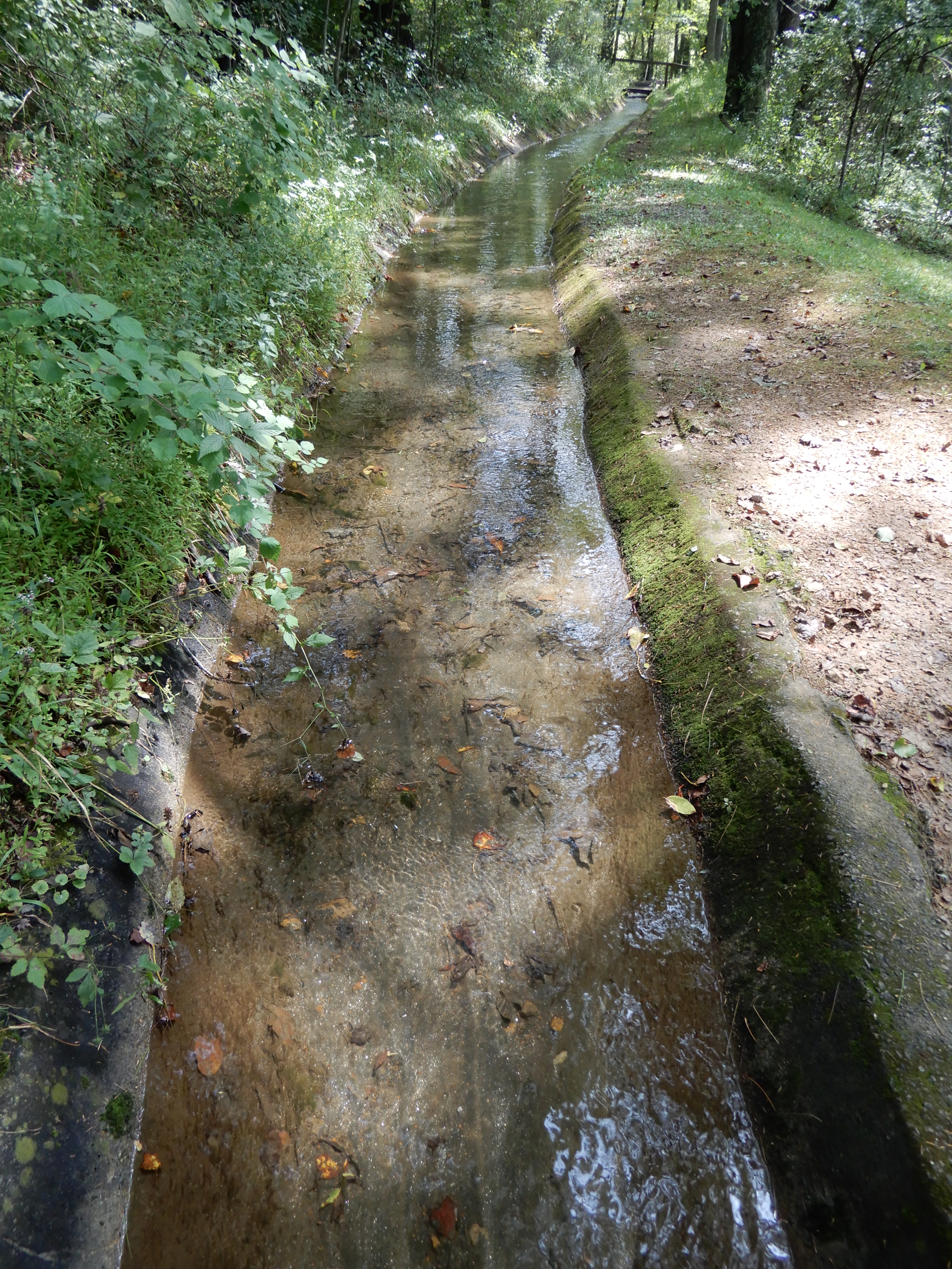
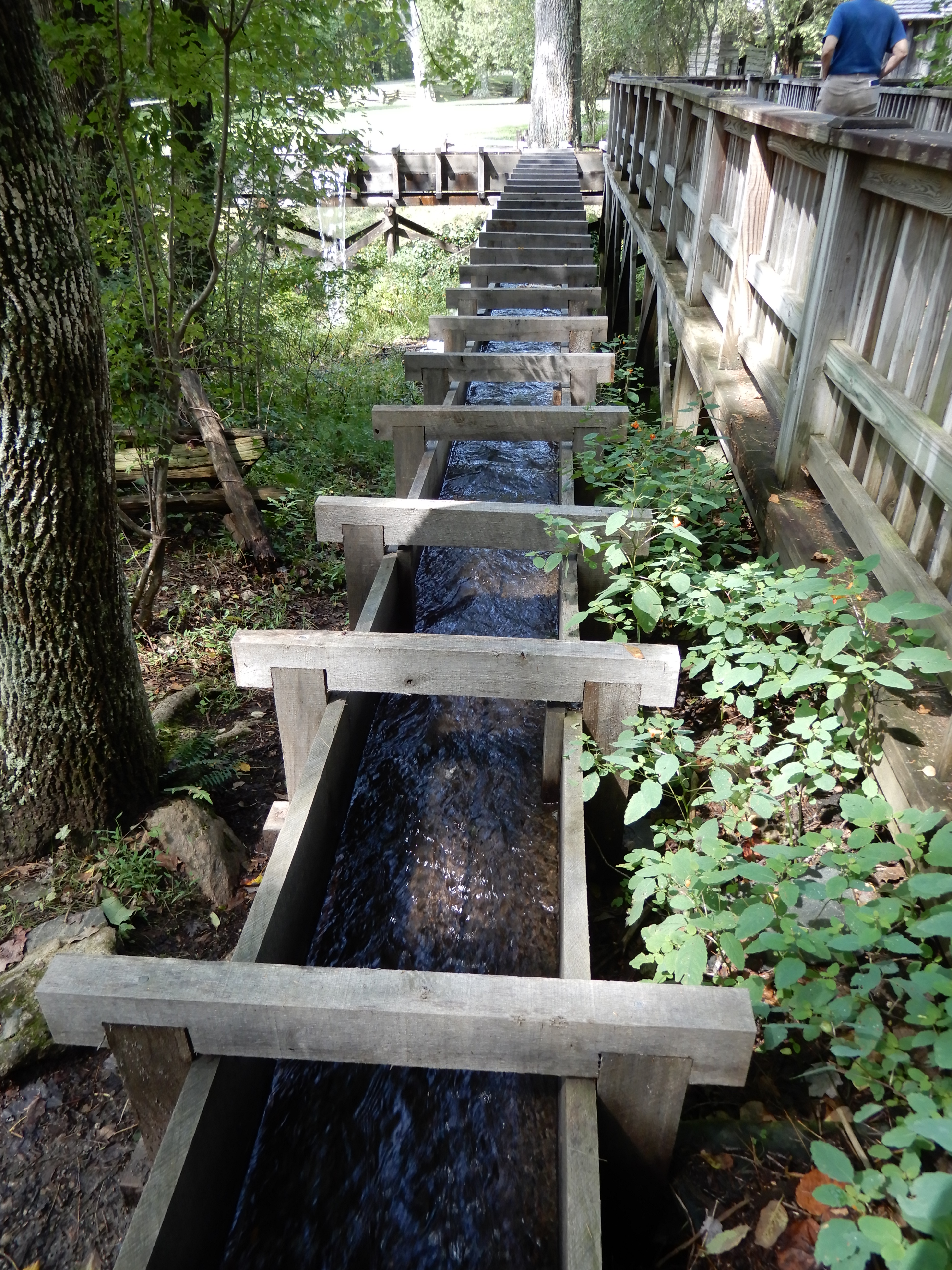
The mill run.
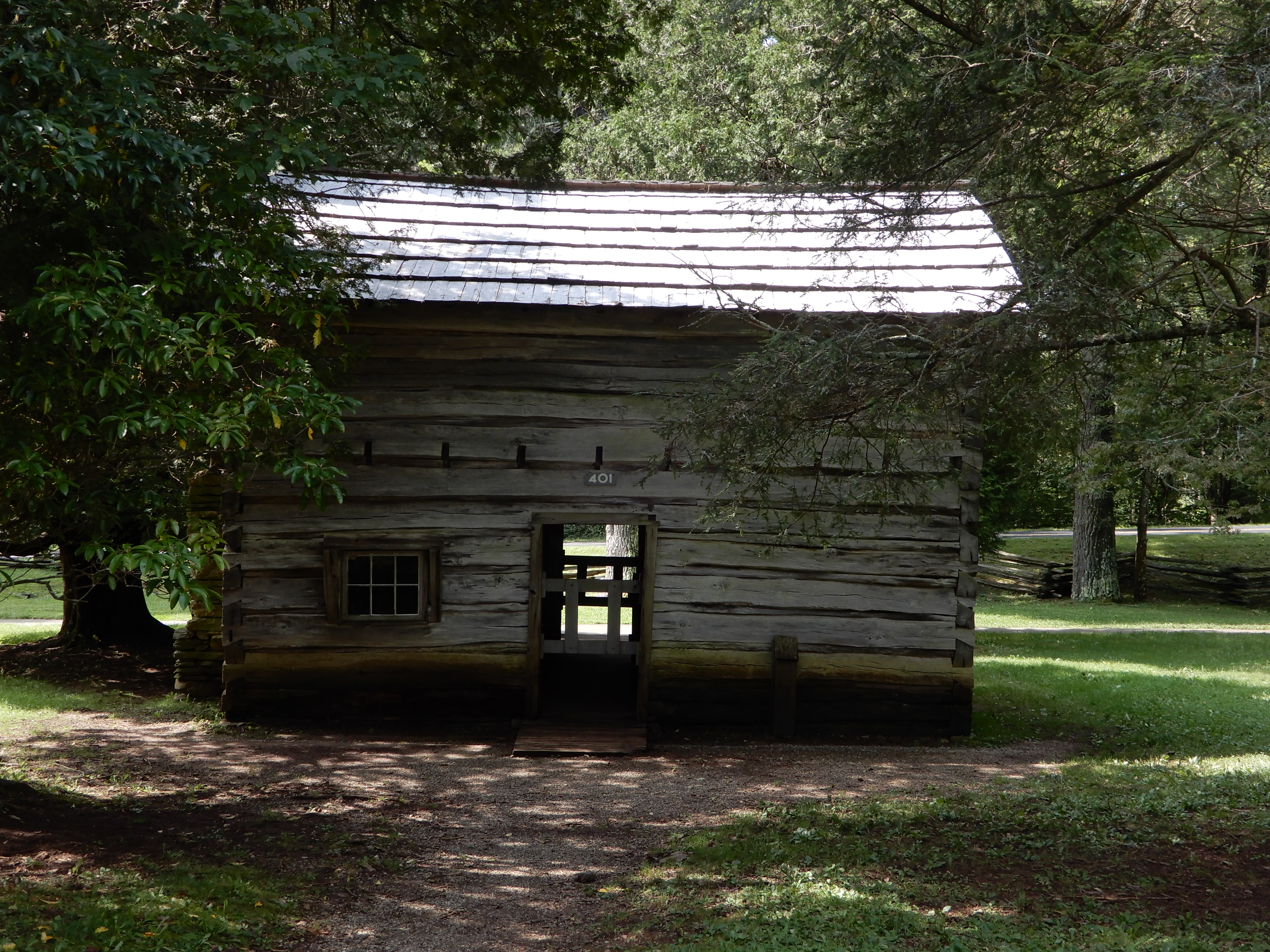
There were other buildings there.
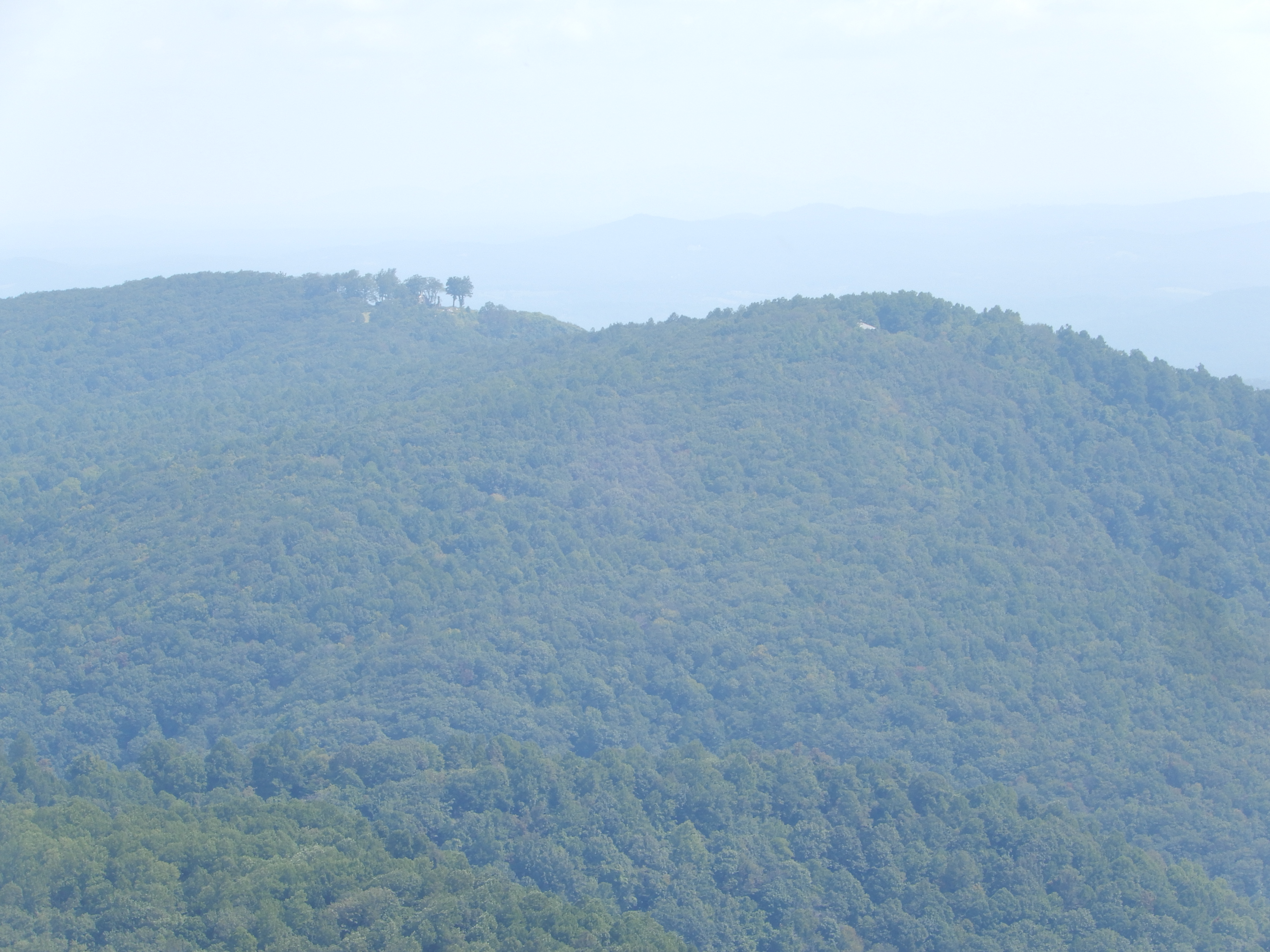
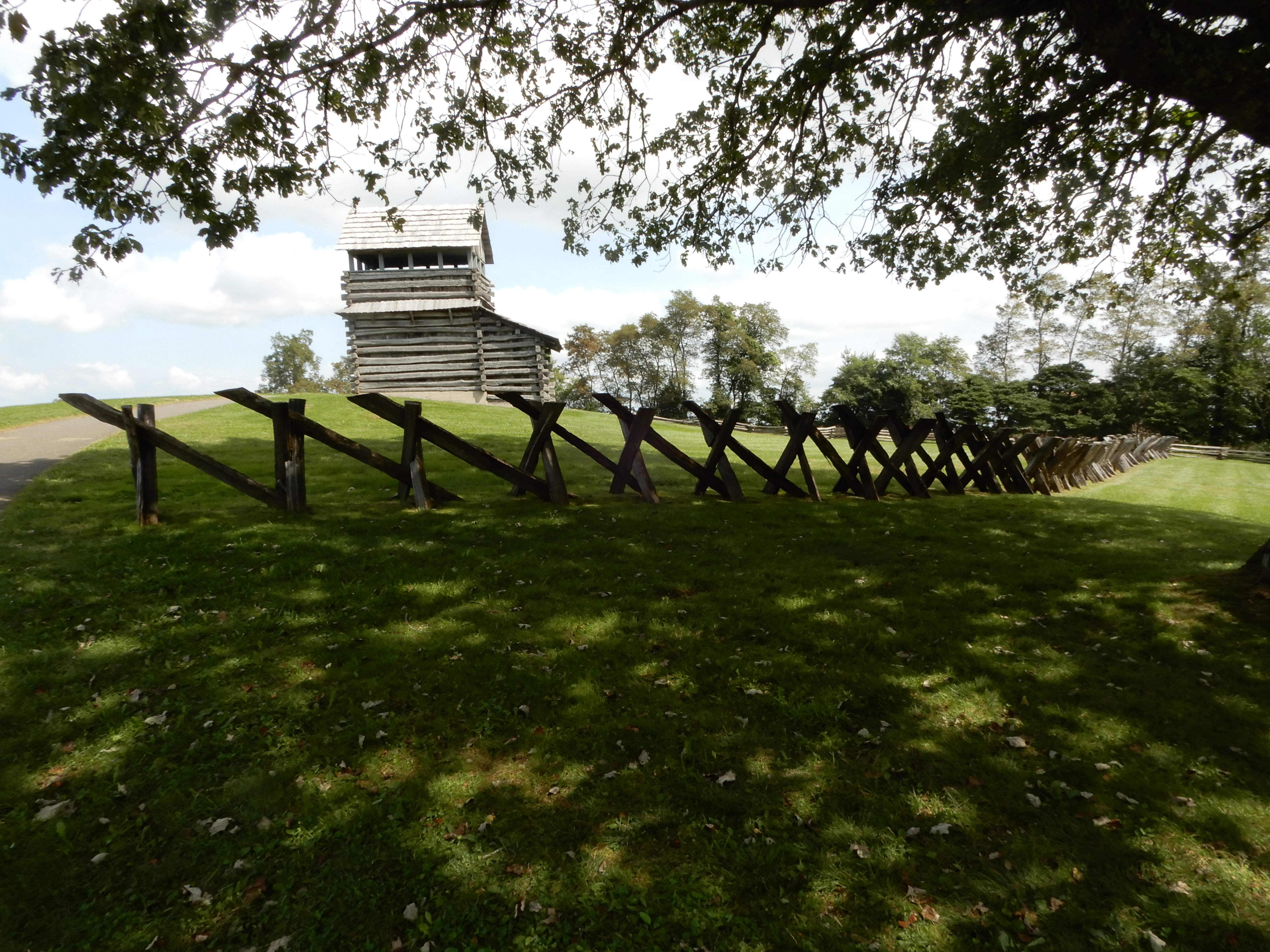
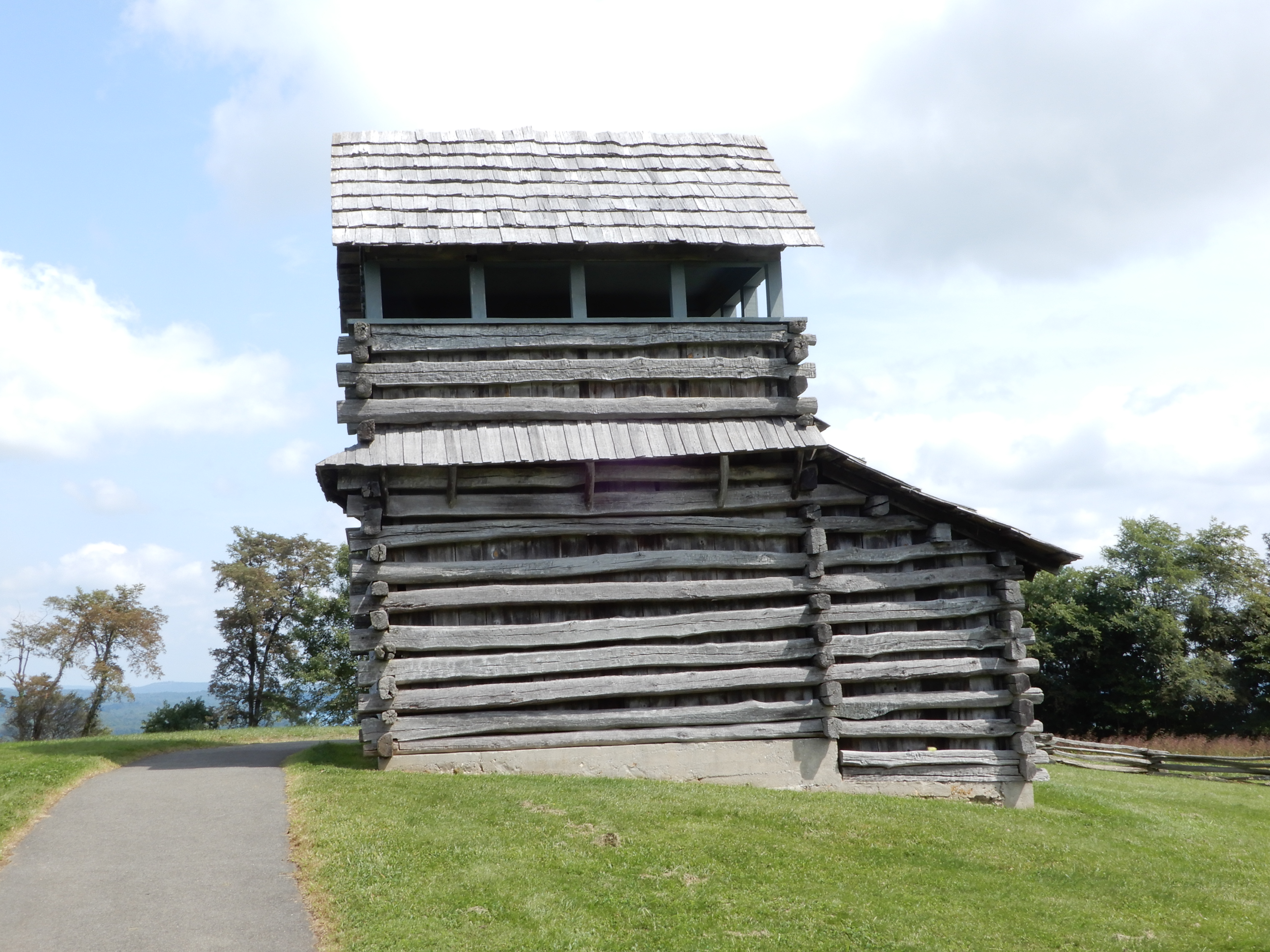
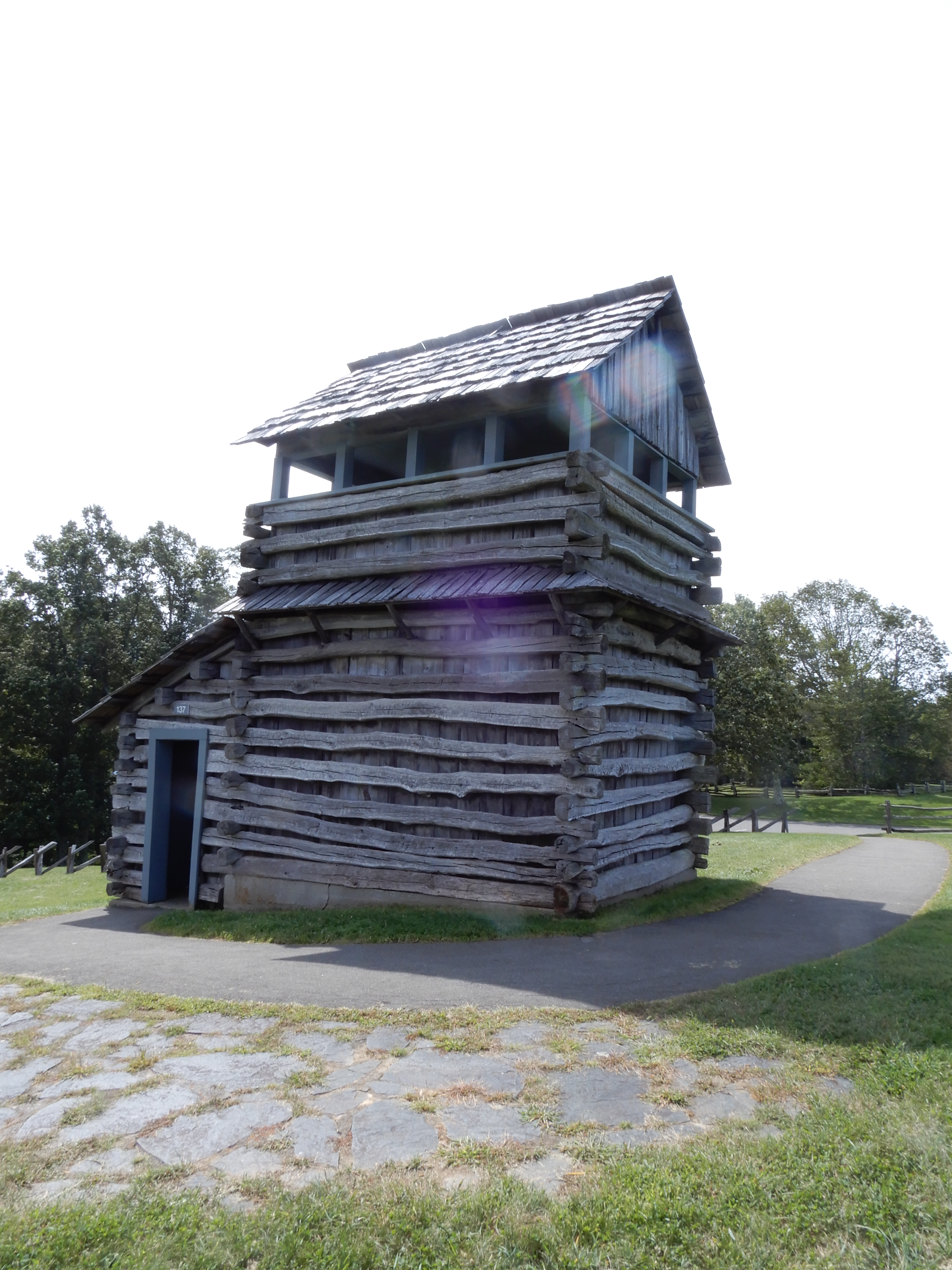
Also there was a watch tower. It sat on top of a hill, giving it a good view over the surrounding countryside.
I don’t think it was big enough to serve as a fort.
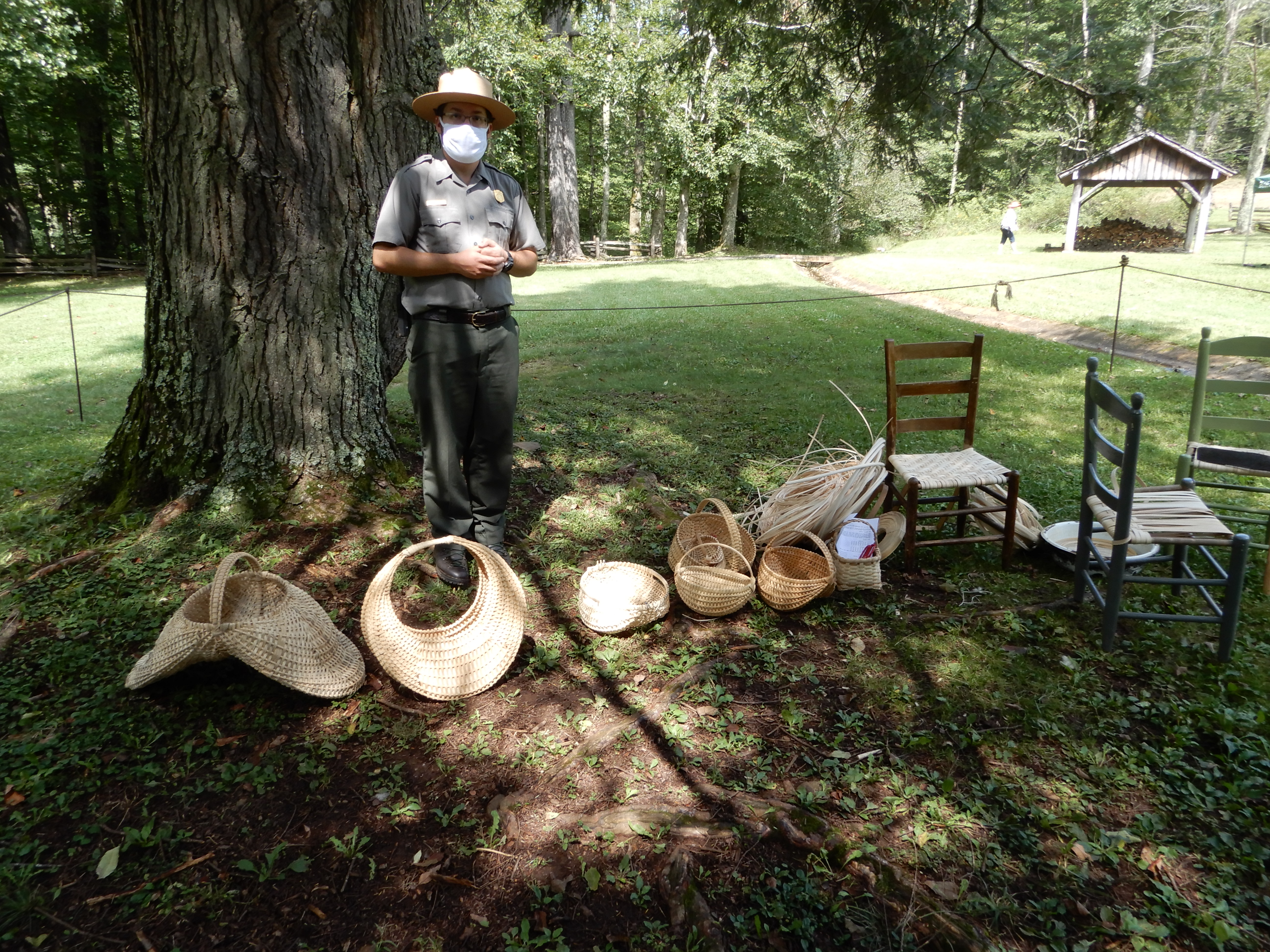
There was a ranger set up to sell handwoven baskets. I guess times were hard for park employees during Covid and they had to supplement their salaries.
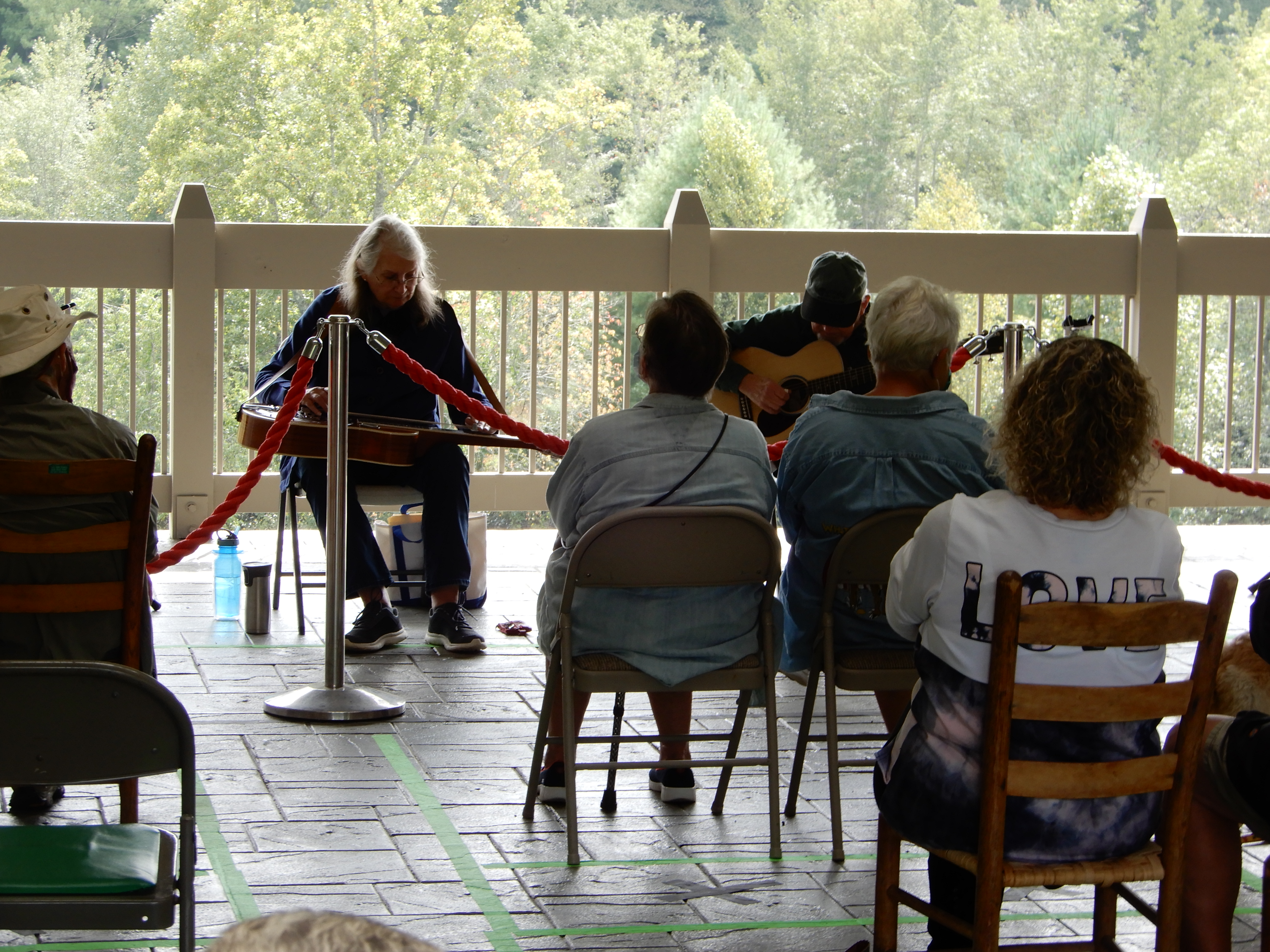
From there we drove on to the Blue Ridge Music Center.
Where we heard some good bluegrass music.
Next American Location 11: On the Blue Ridge Parkway, From Virginia into North Carolina