American Locations 18 – Smoky Mountains National Park, Smokemont Campground, North Carolina

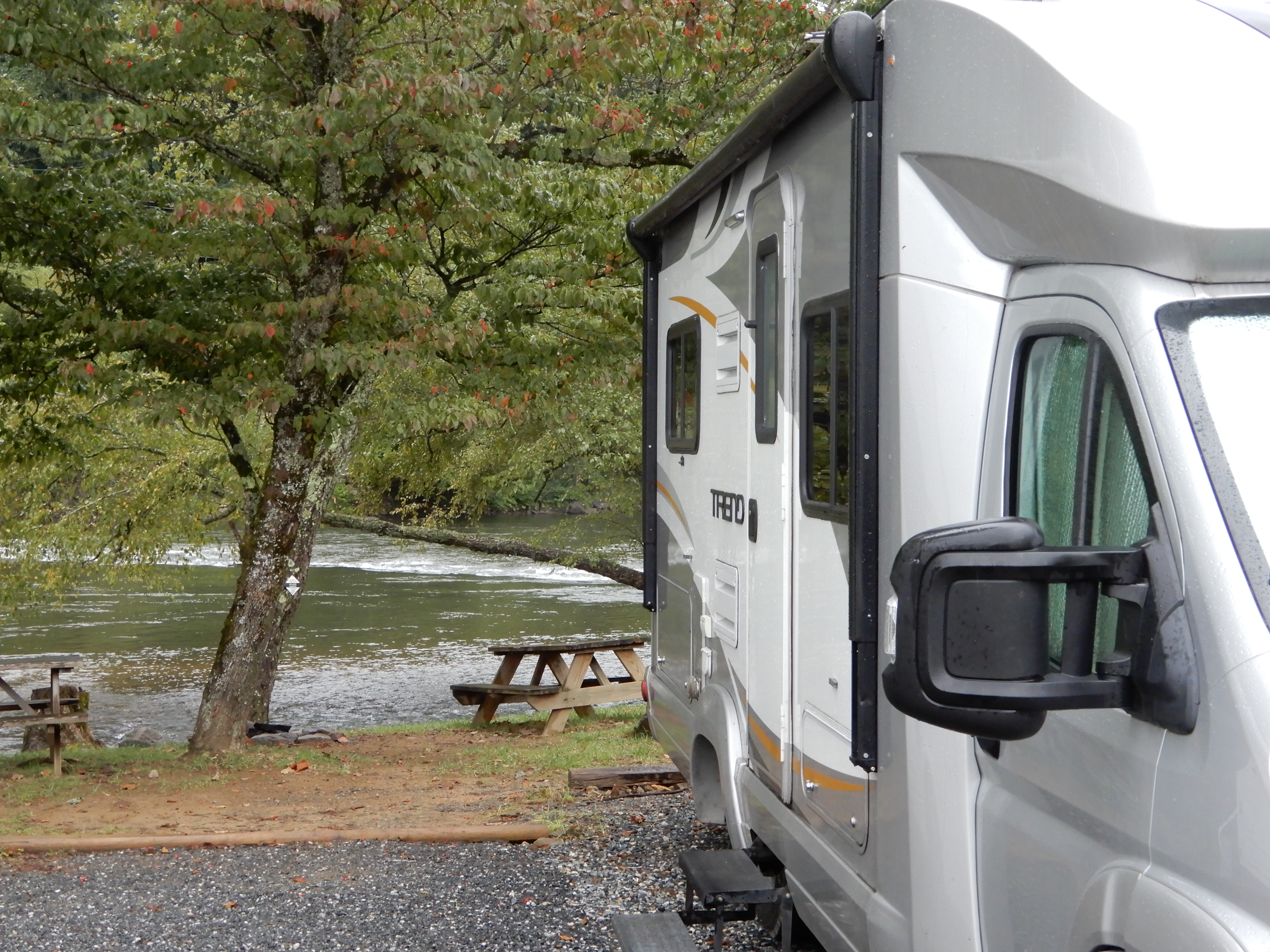
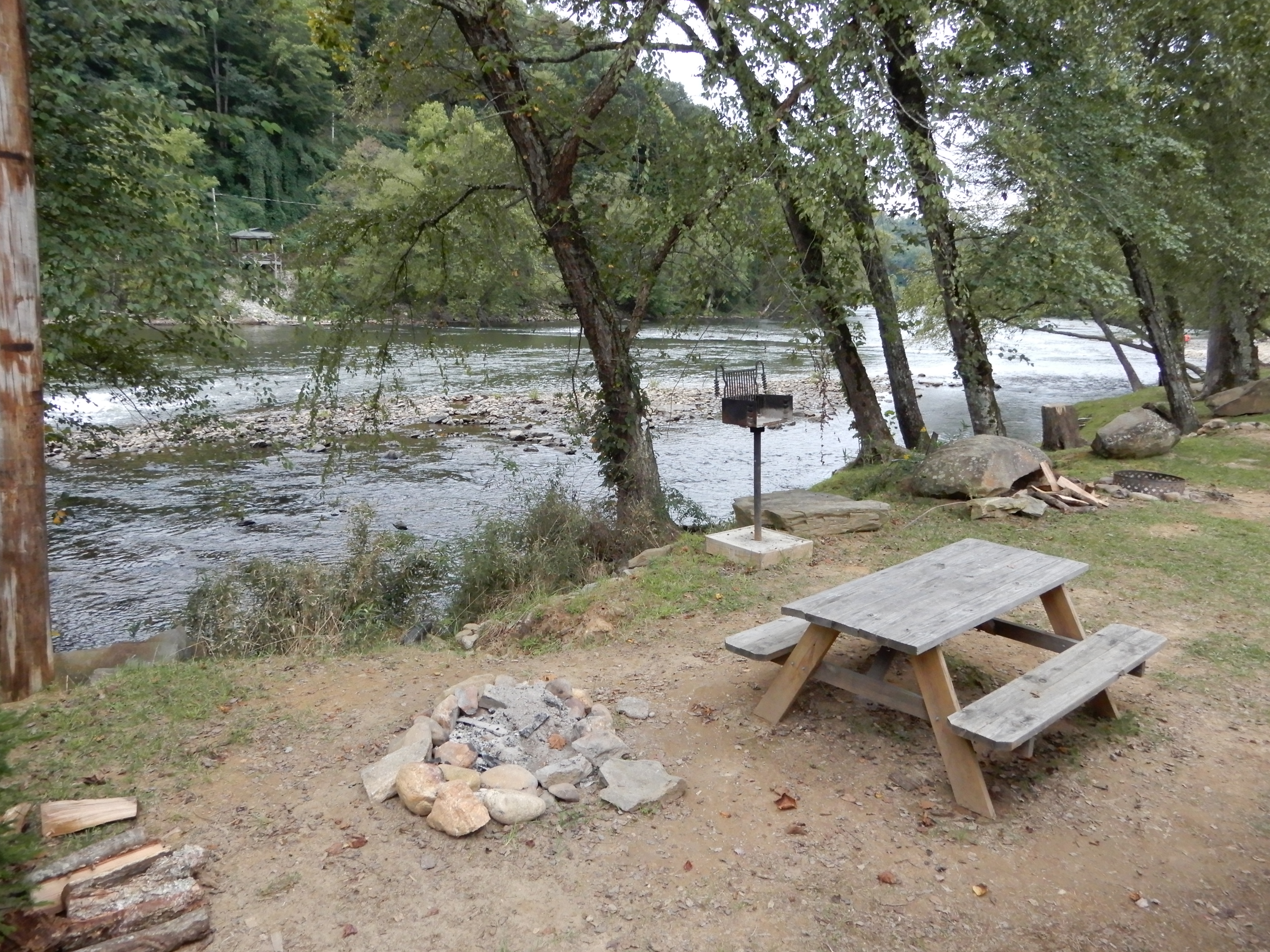
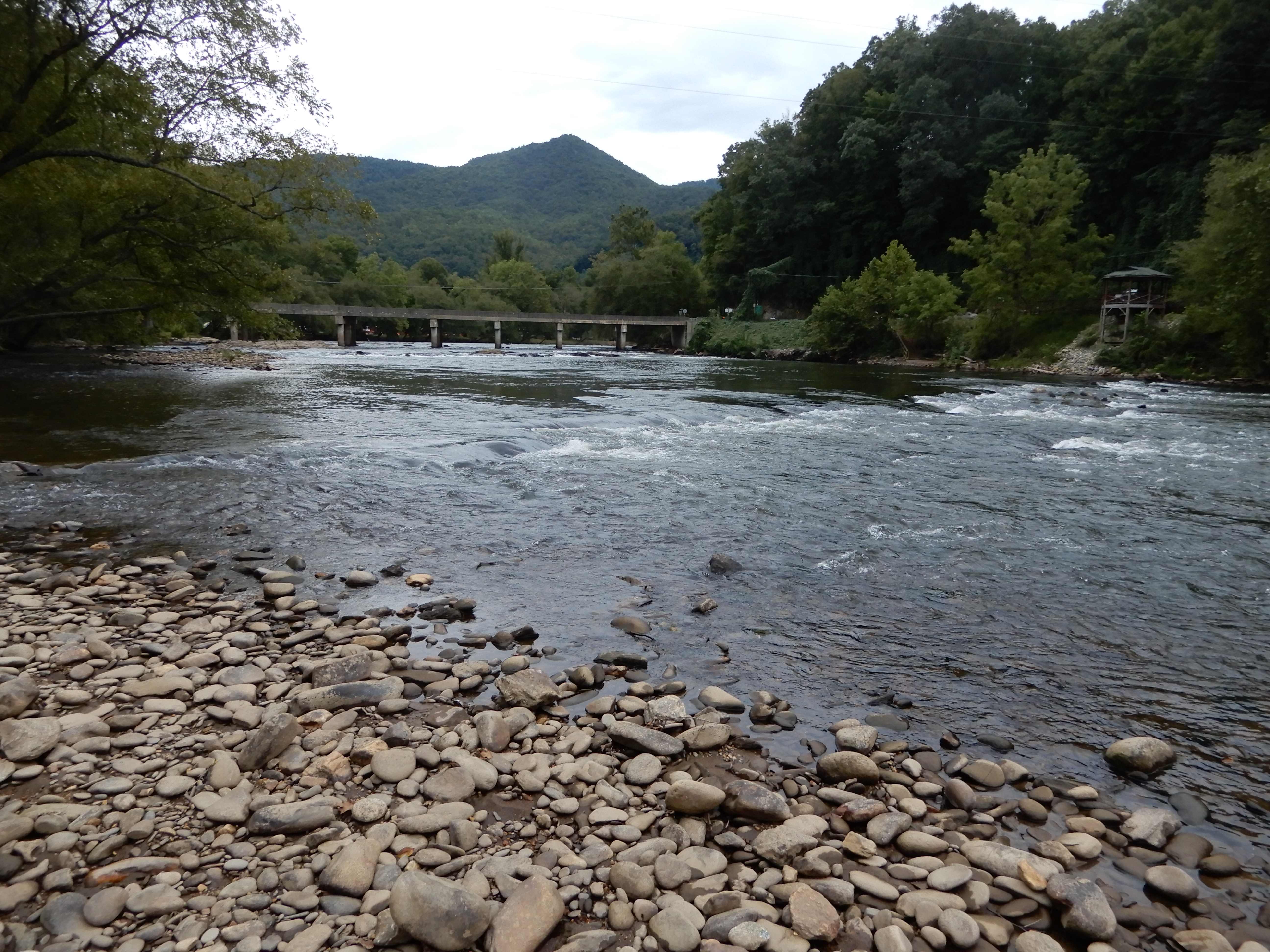
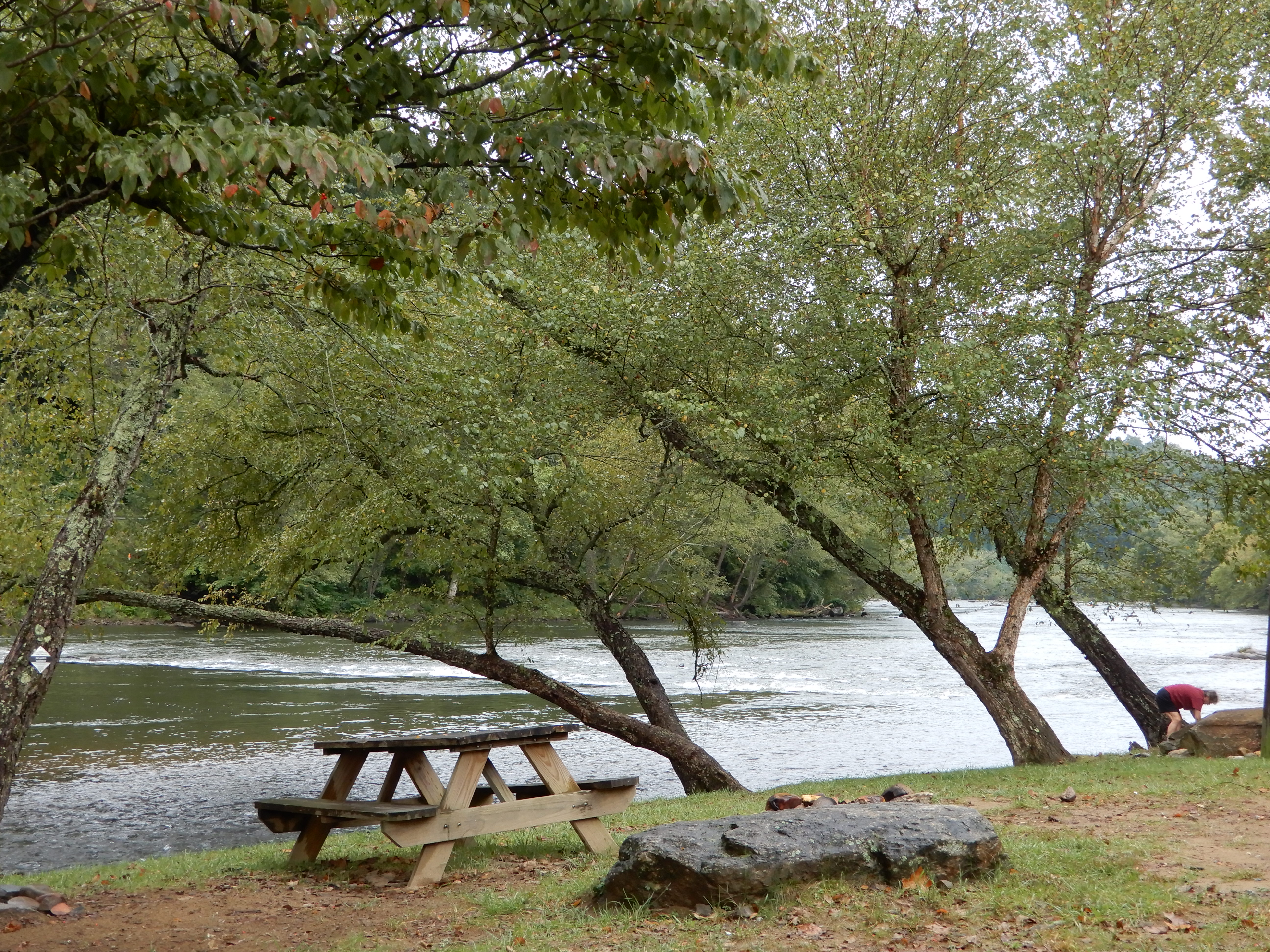
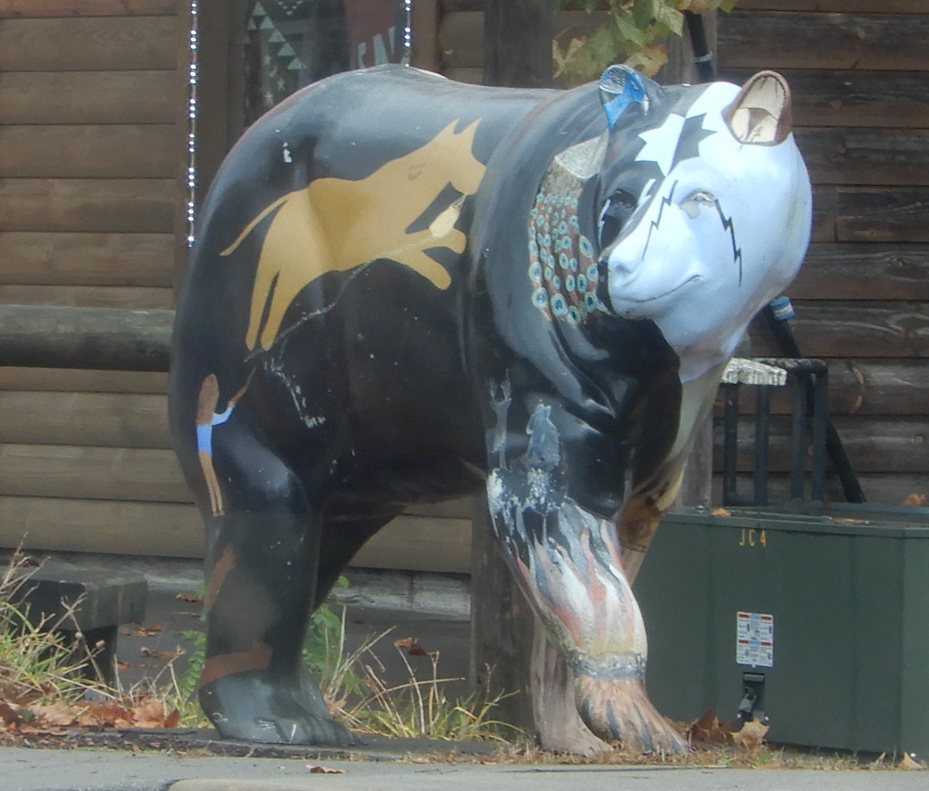
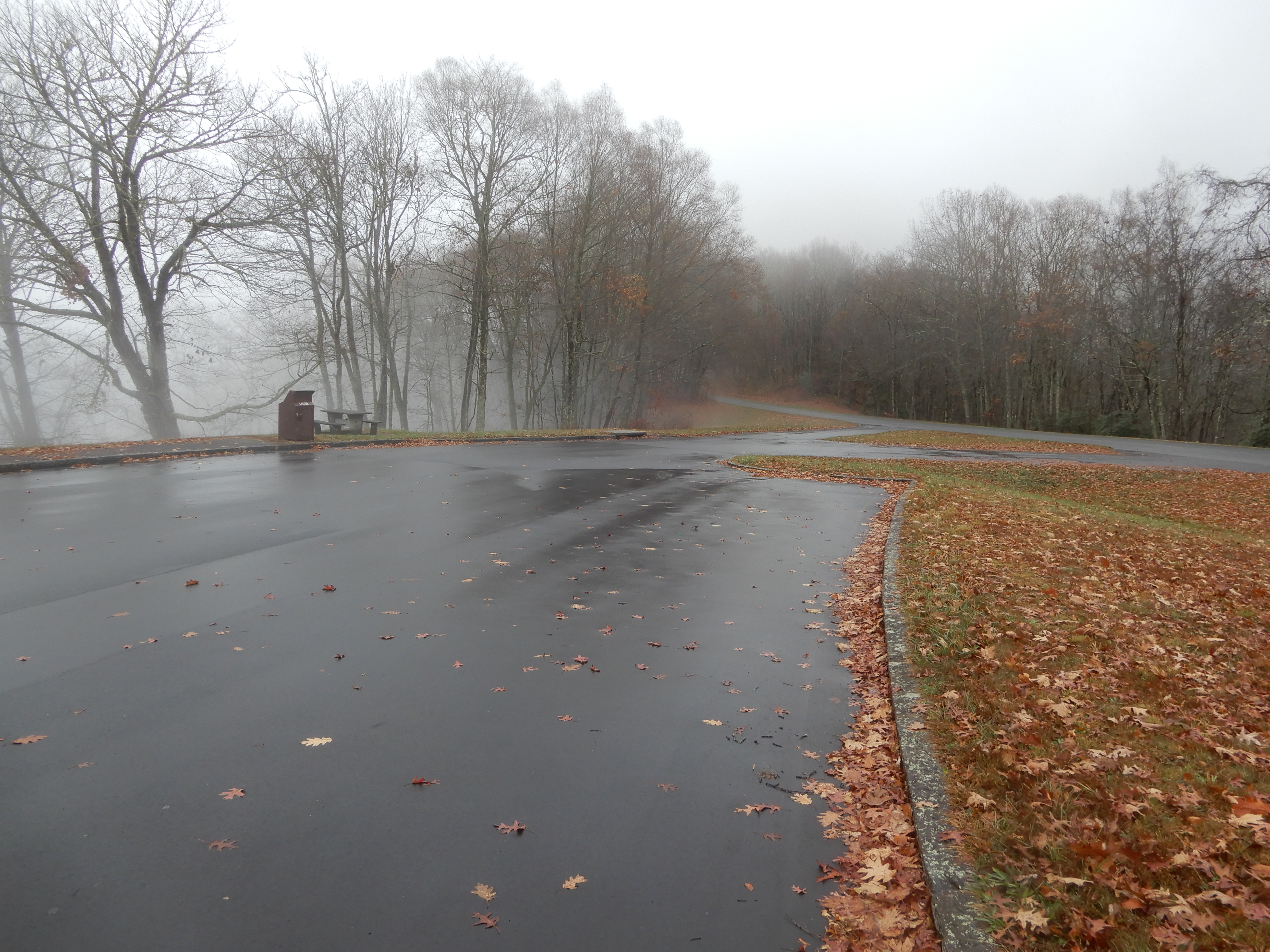
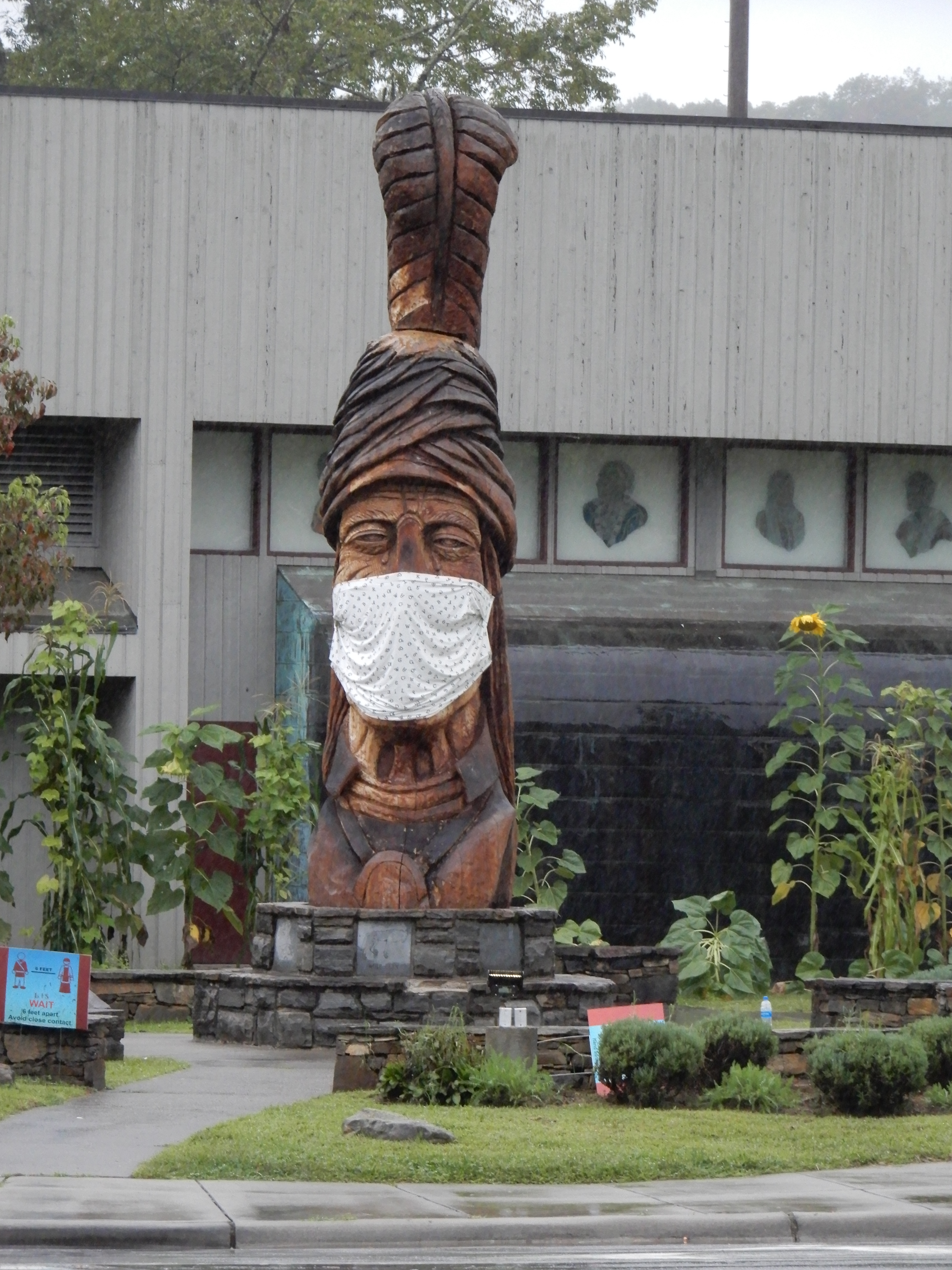
There was a torrential downpour all night long that second night. In the morning the river behind us was raging. We left Grumpy Bear Campground early that morning and drove into Cherokee where there was a good reminder Covid was going on.


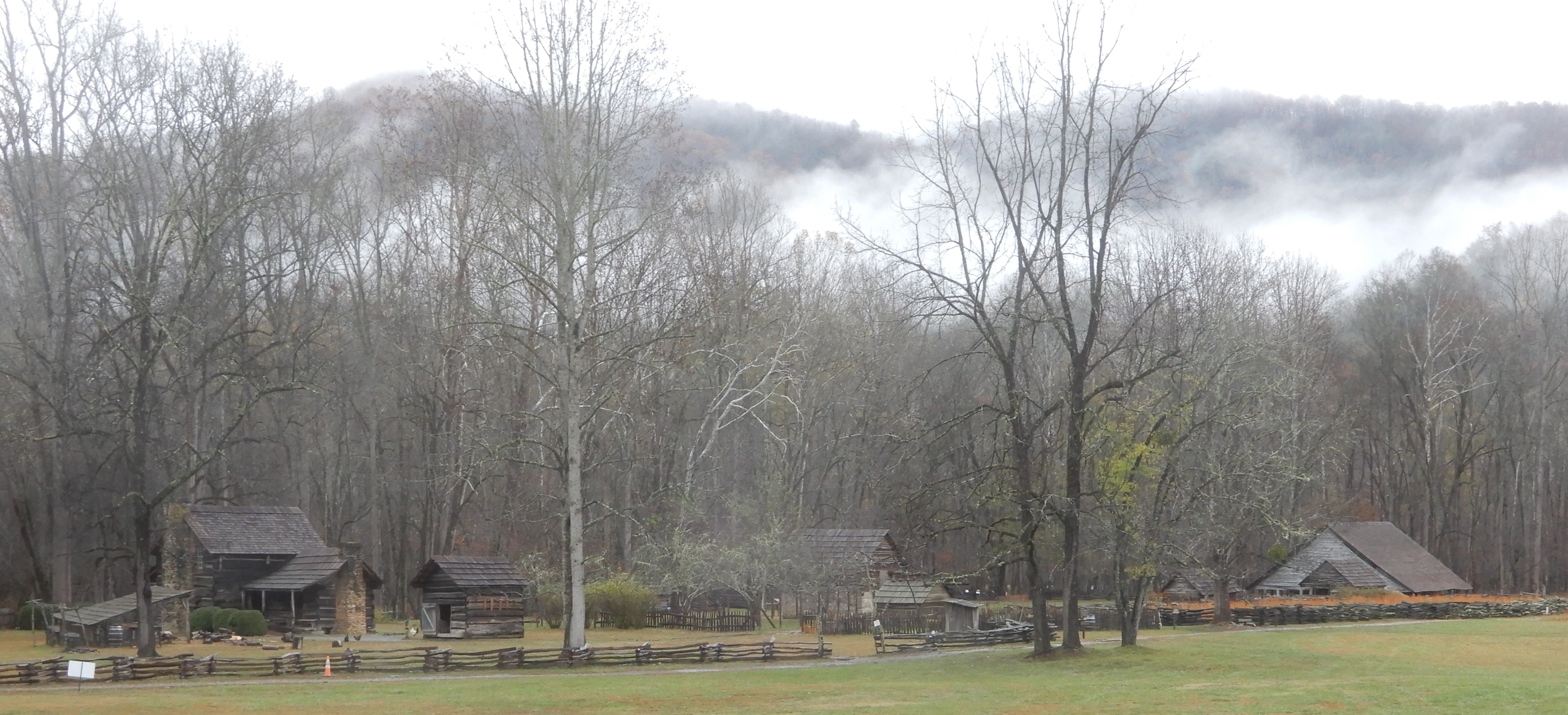
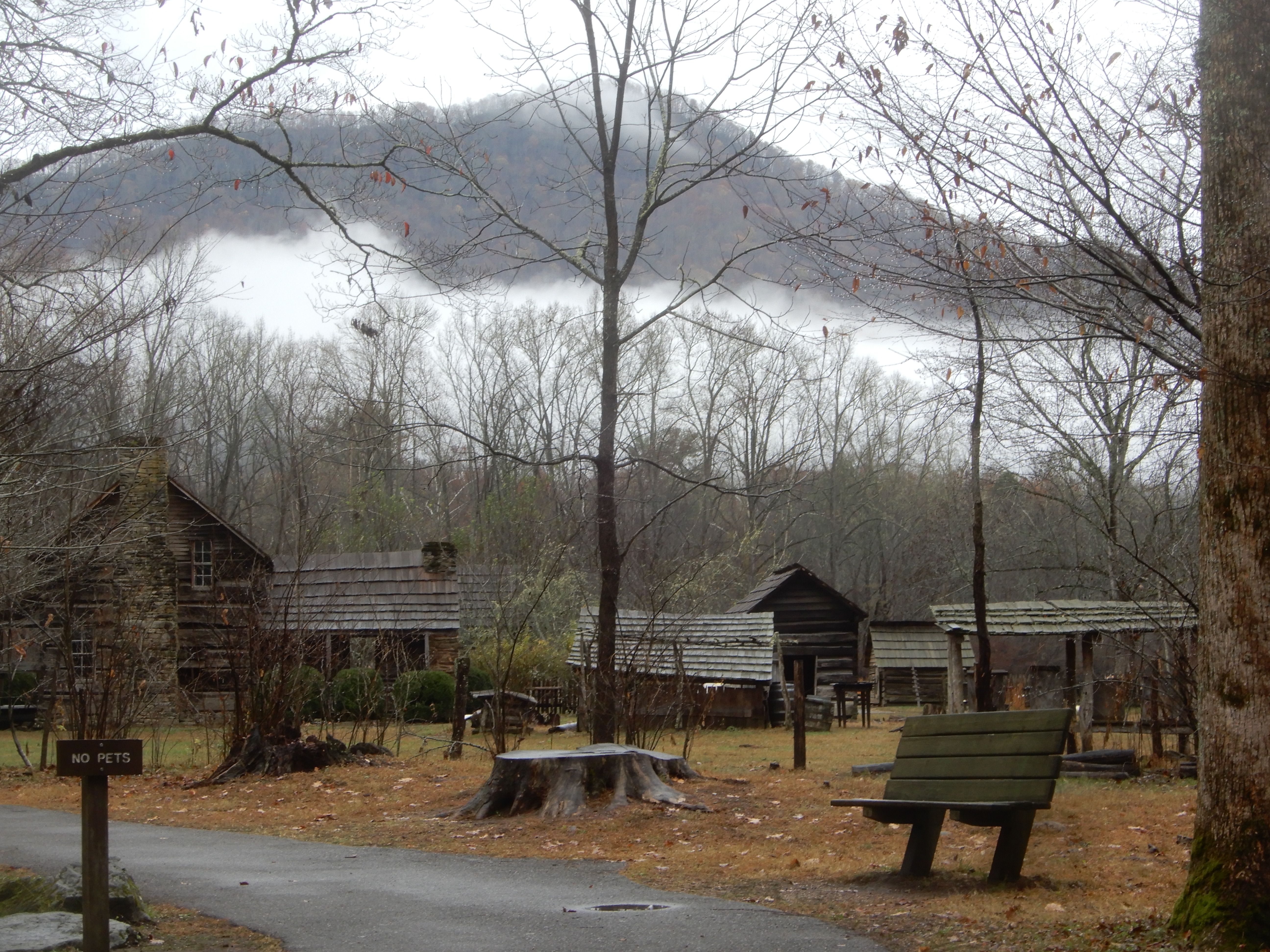
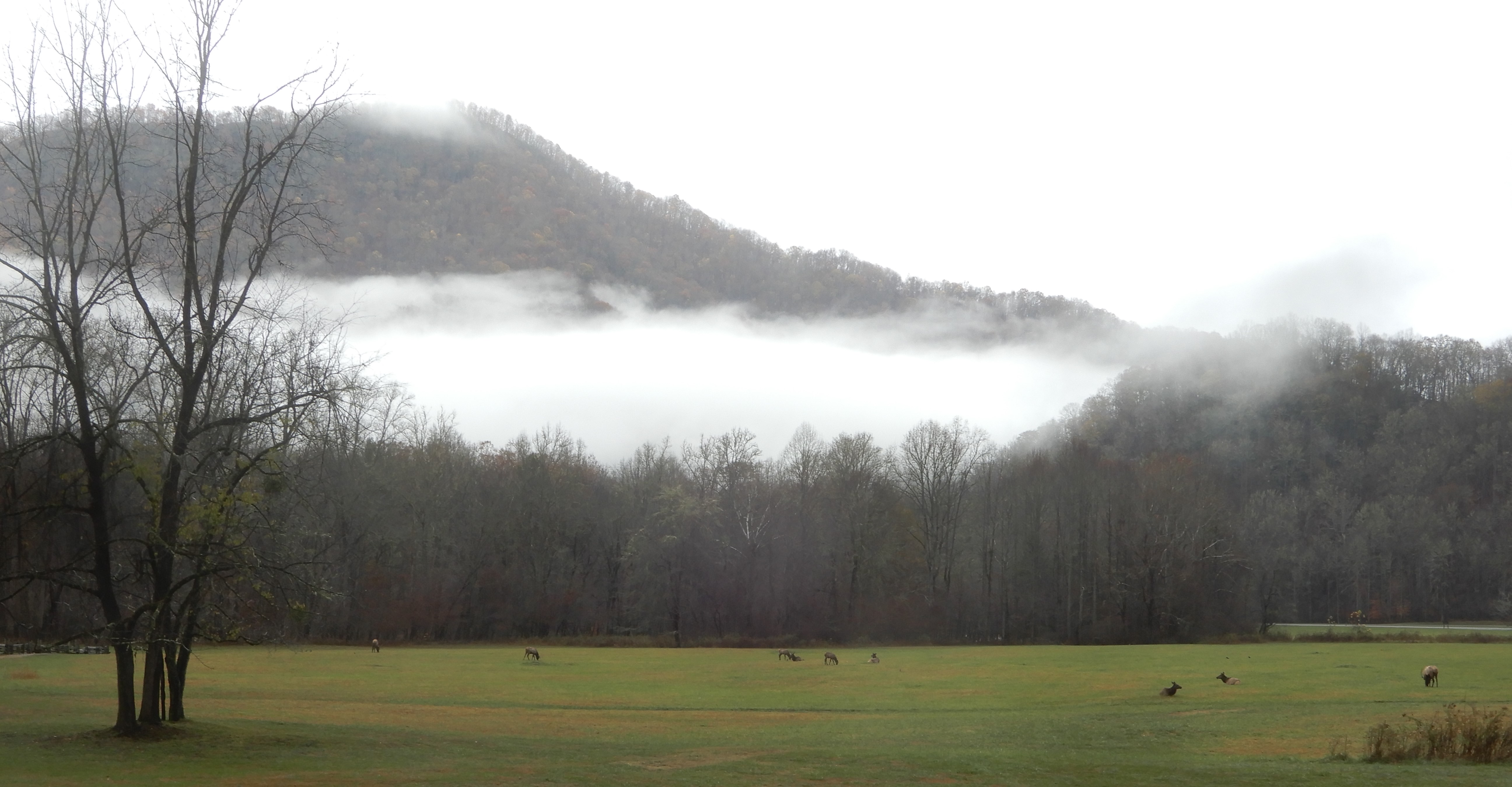
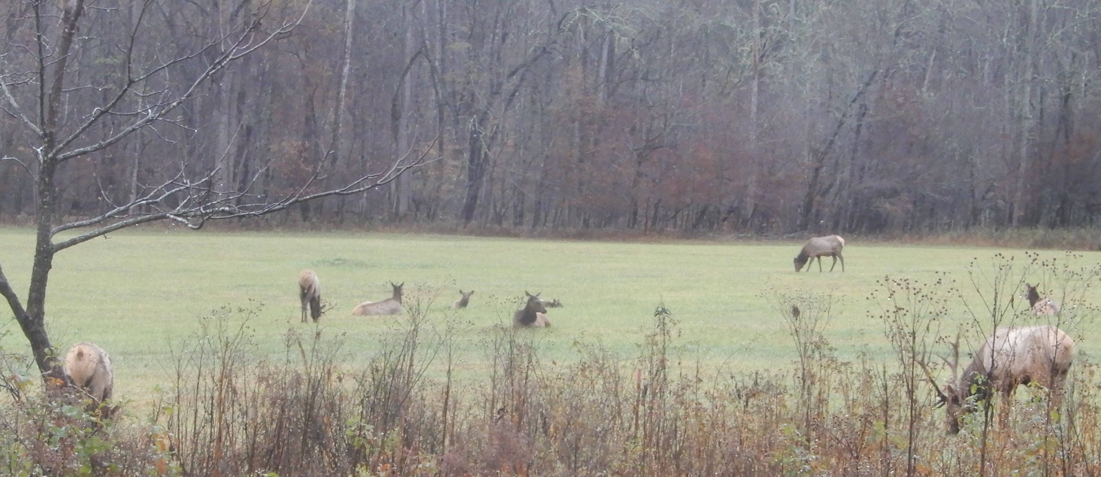
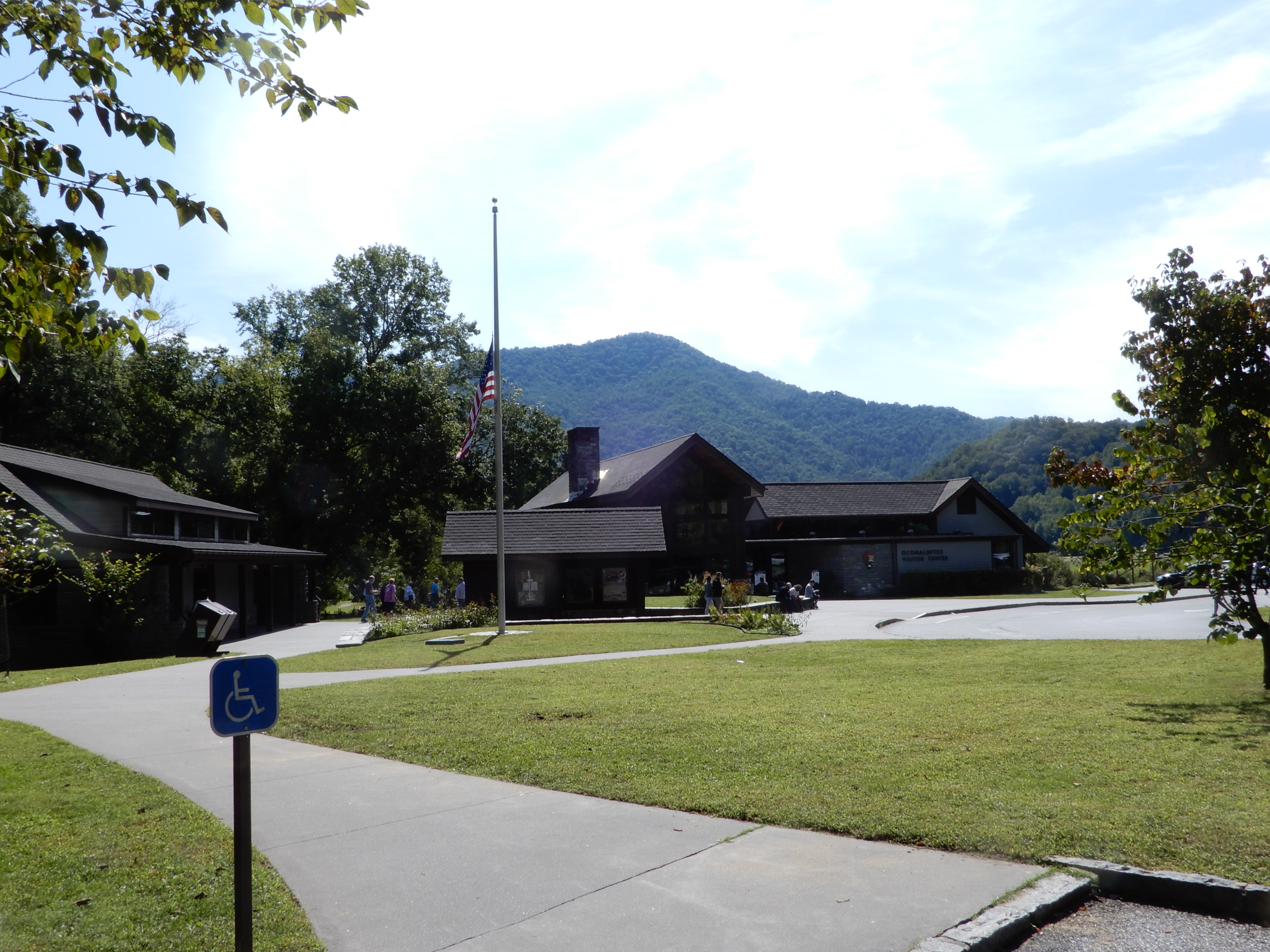
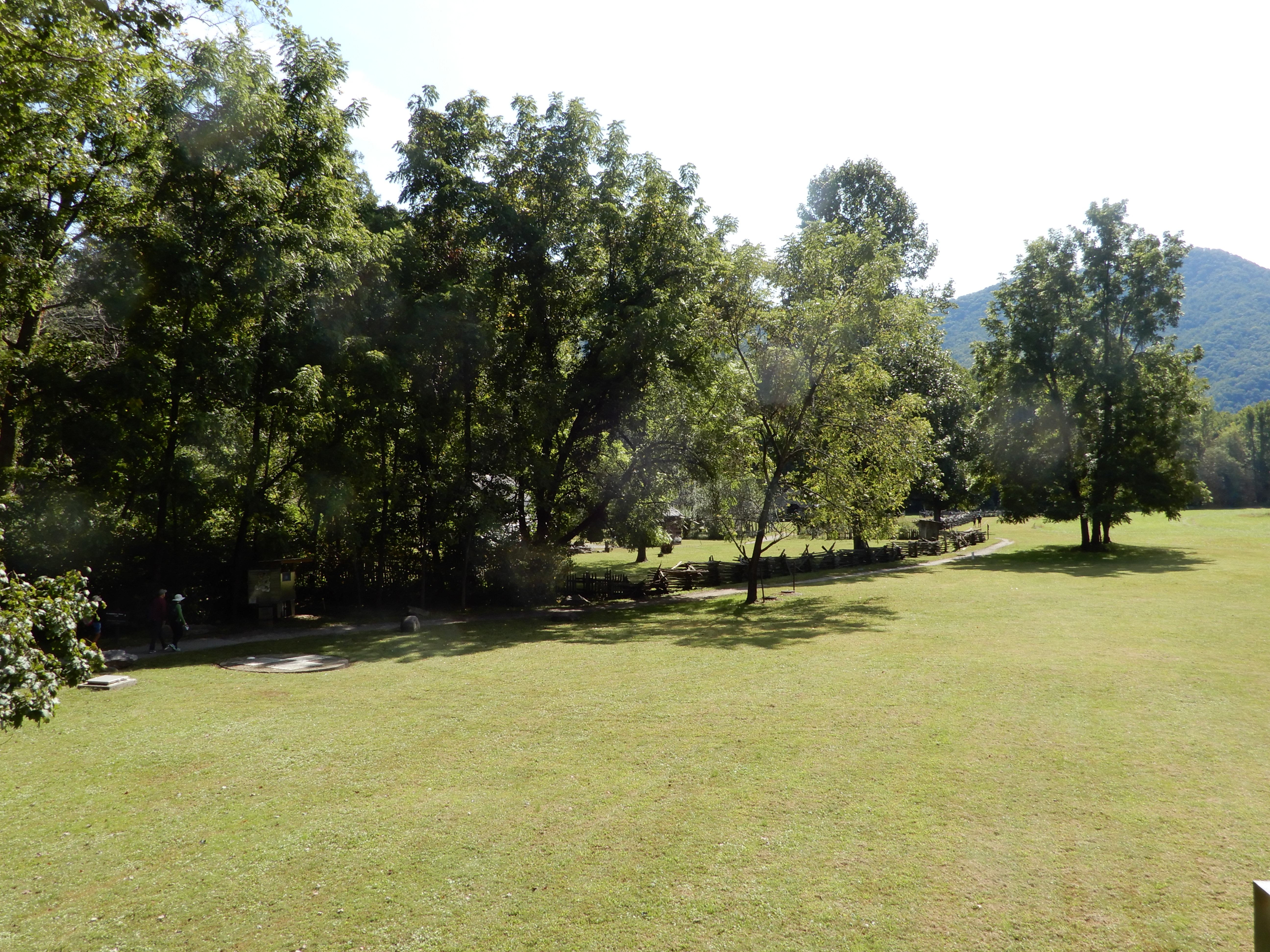
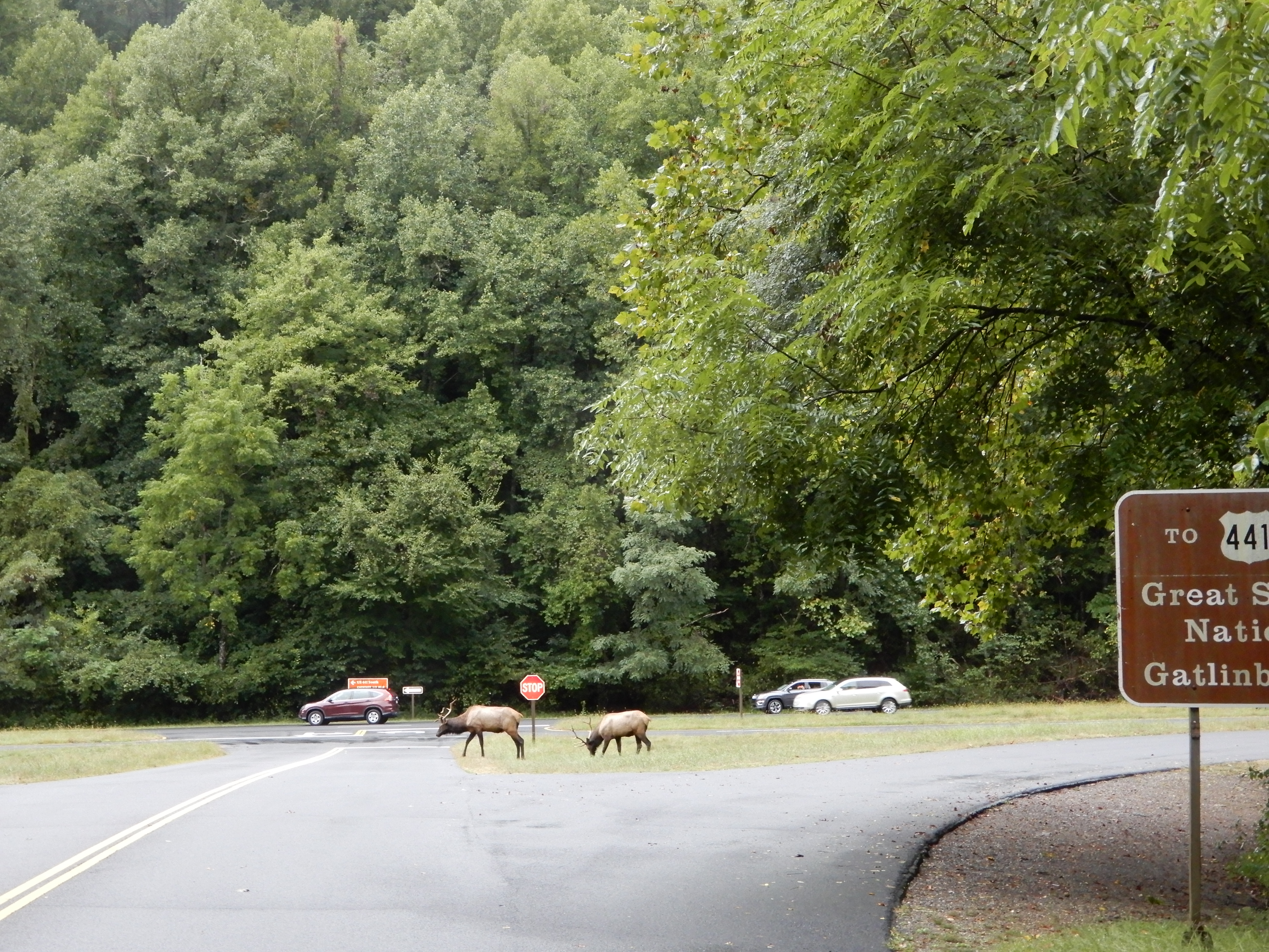
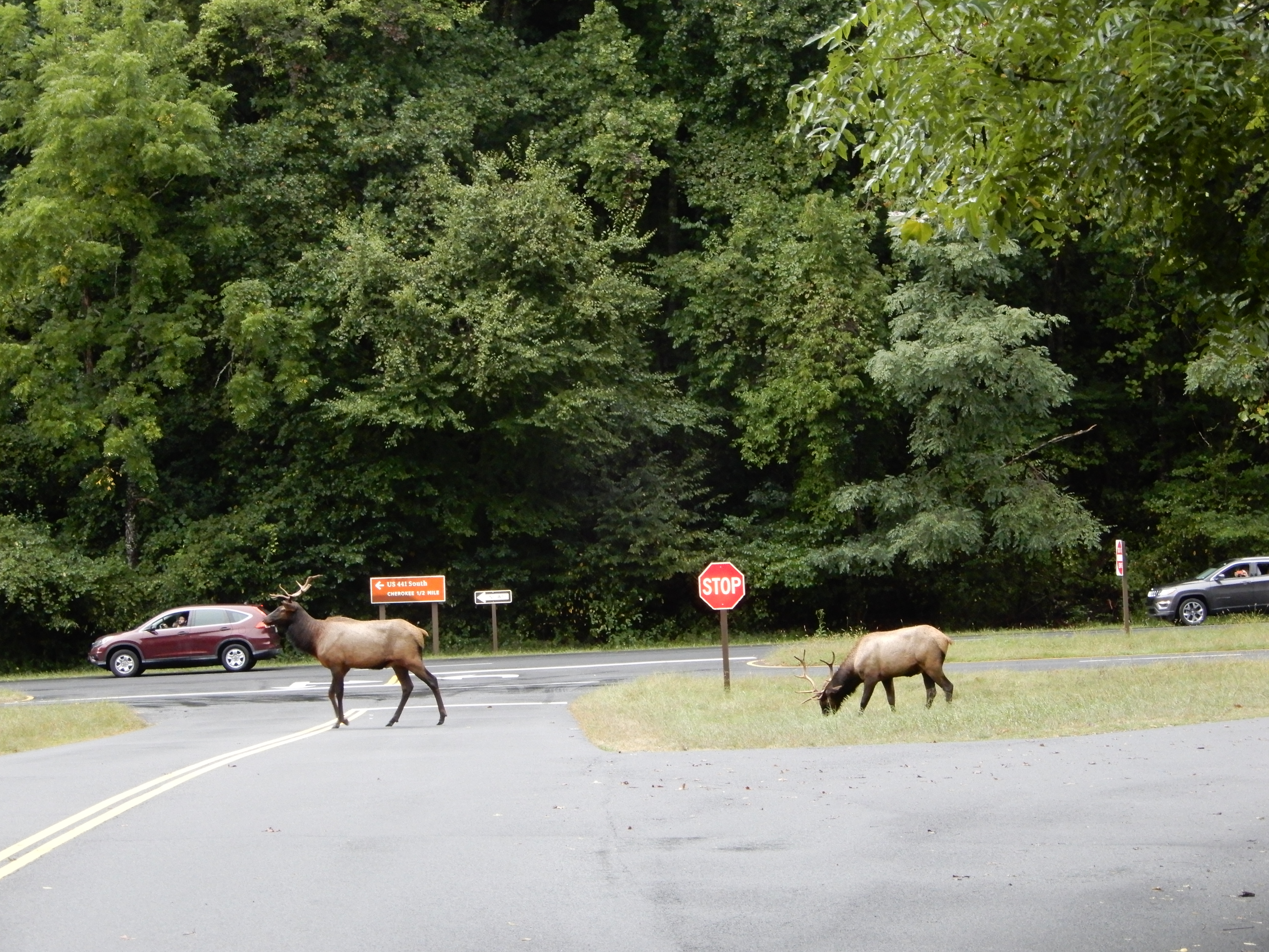
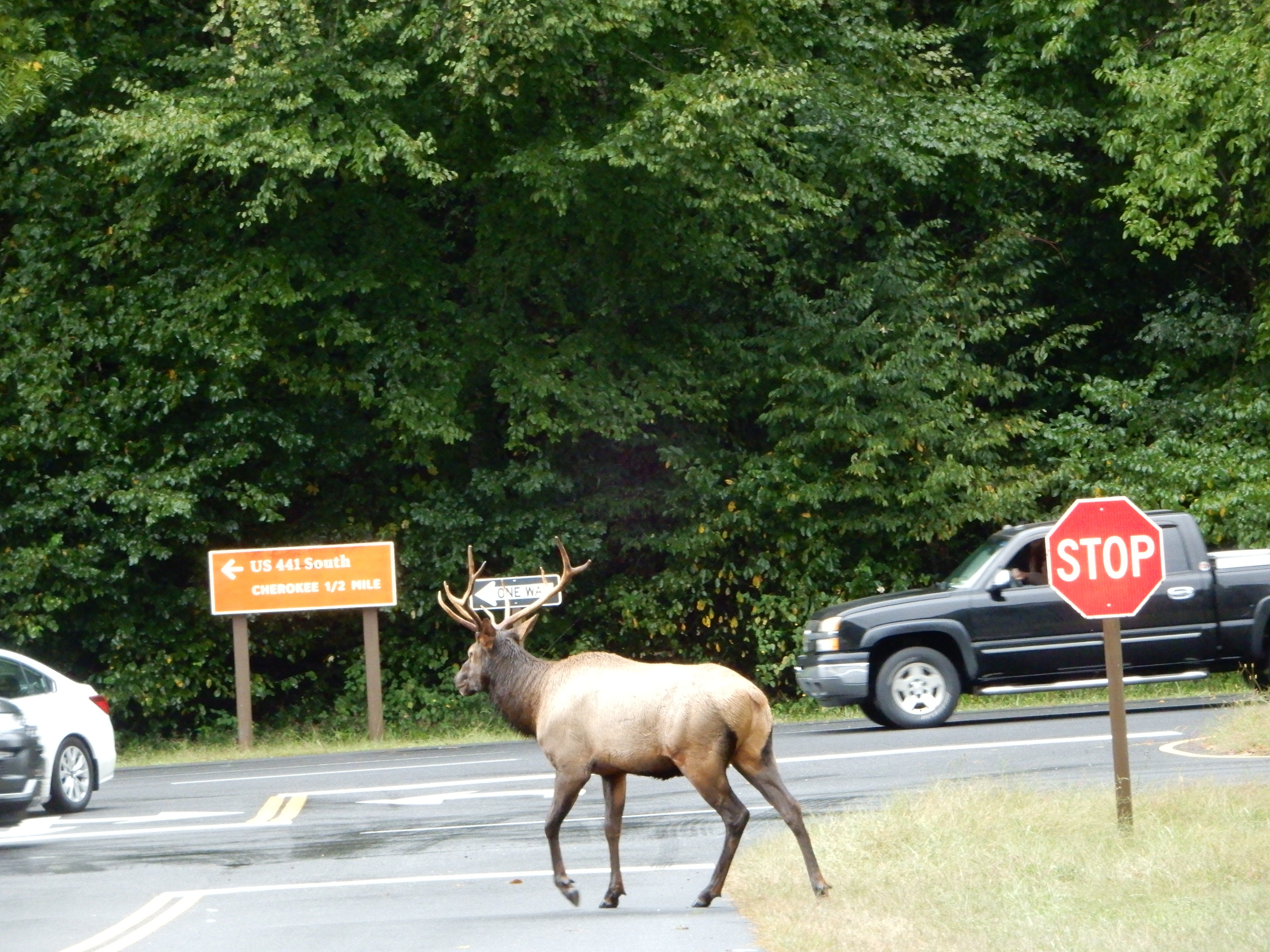
We drove into Smokey Mountains NP and stopped at the visitor center. This time the elk were much nearer the road.


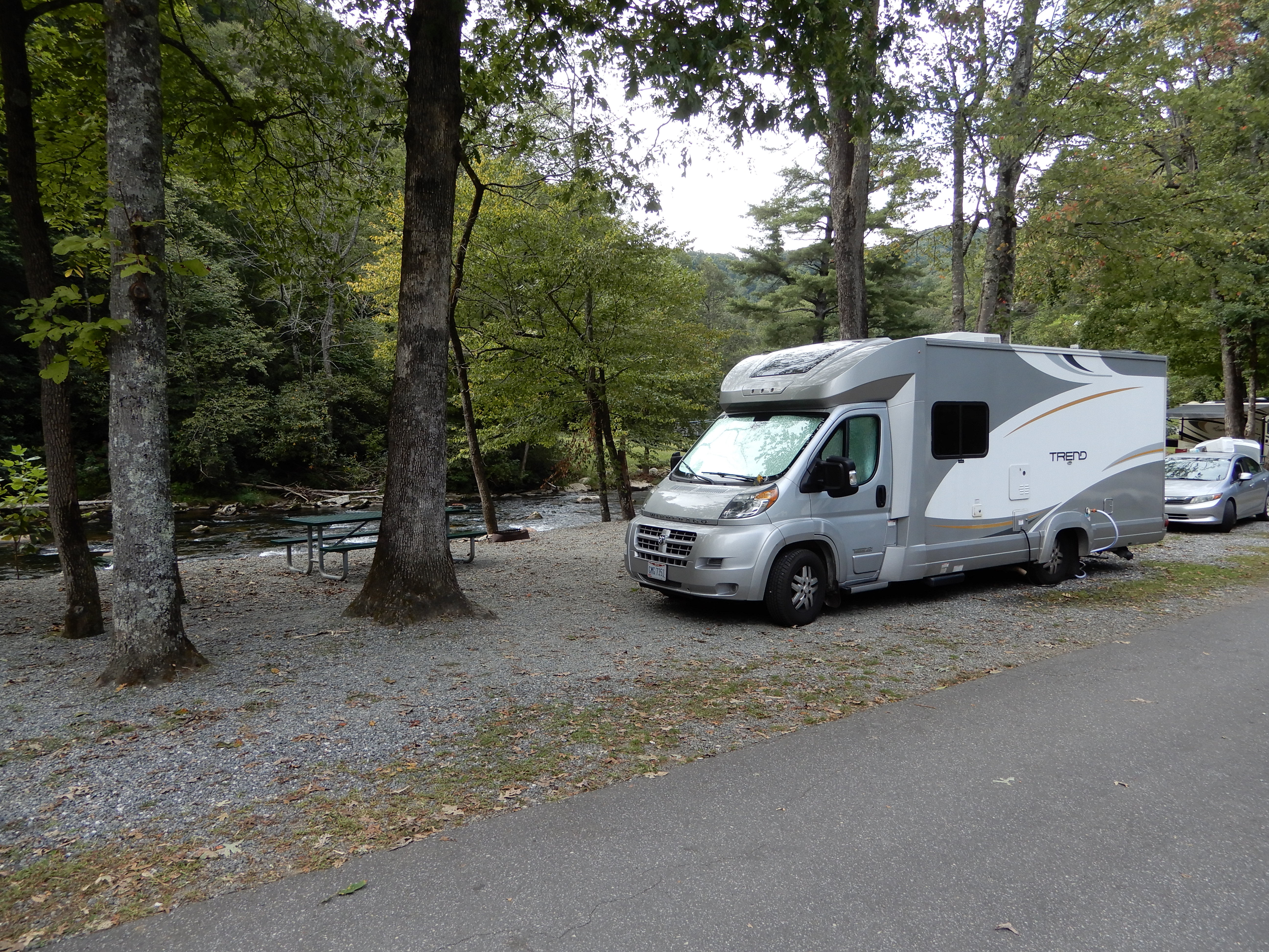
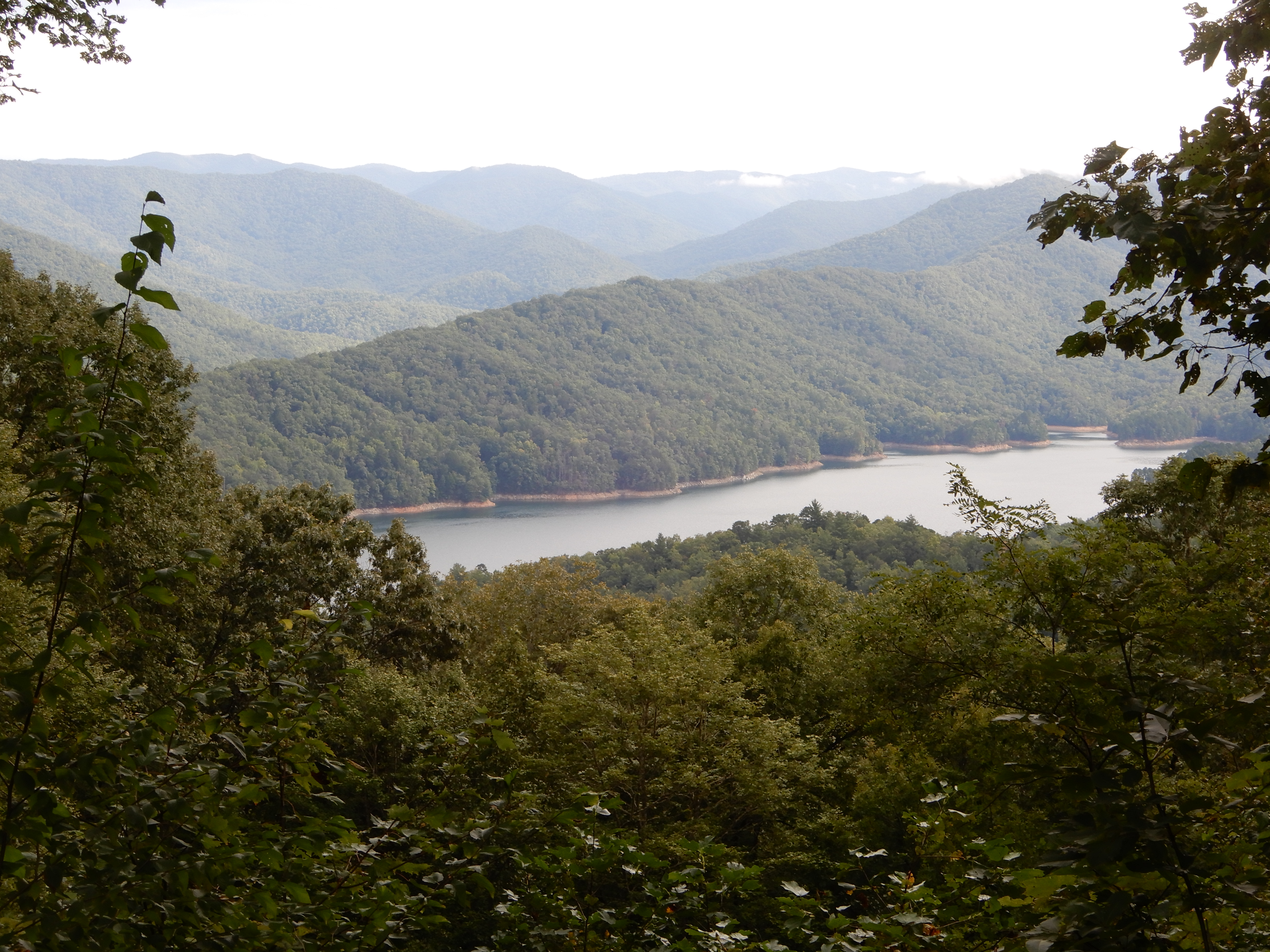
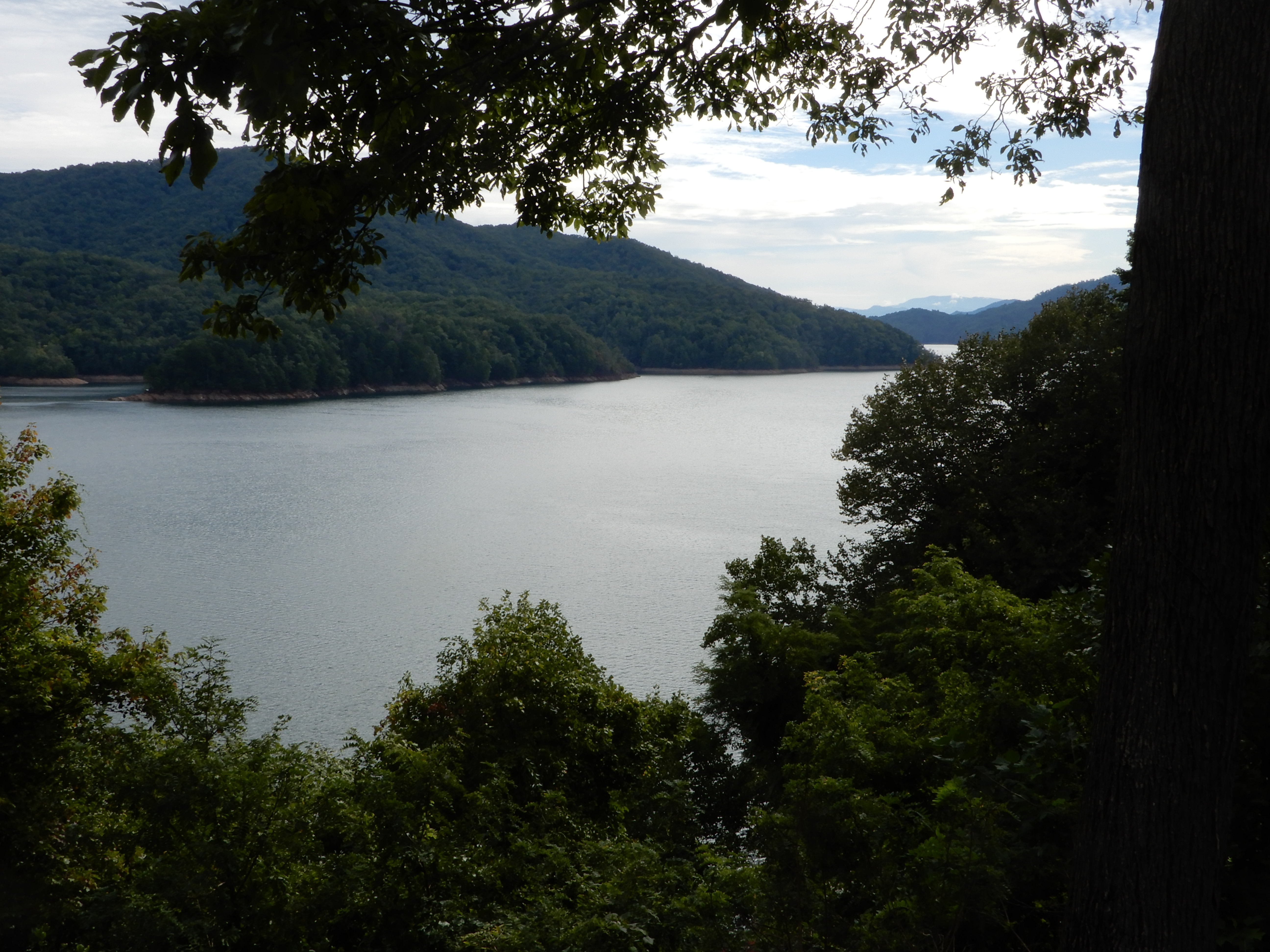
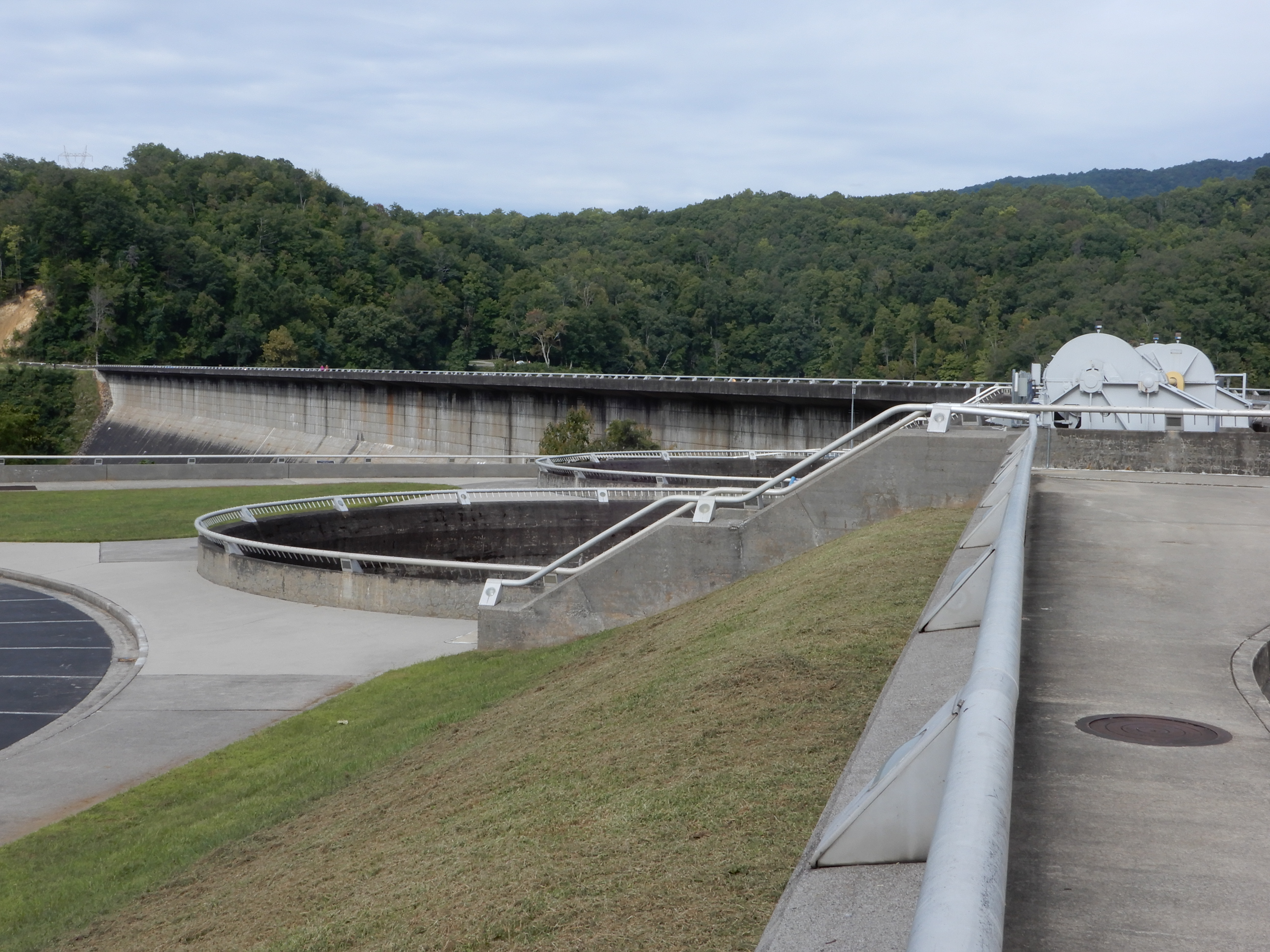
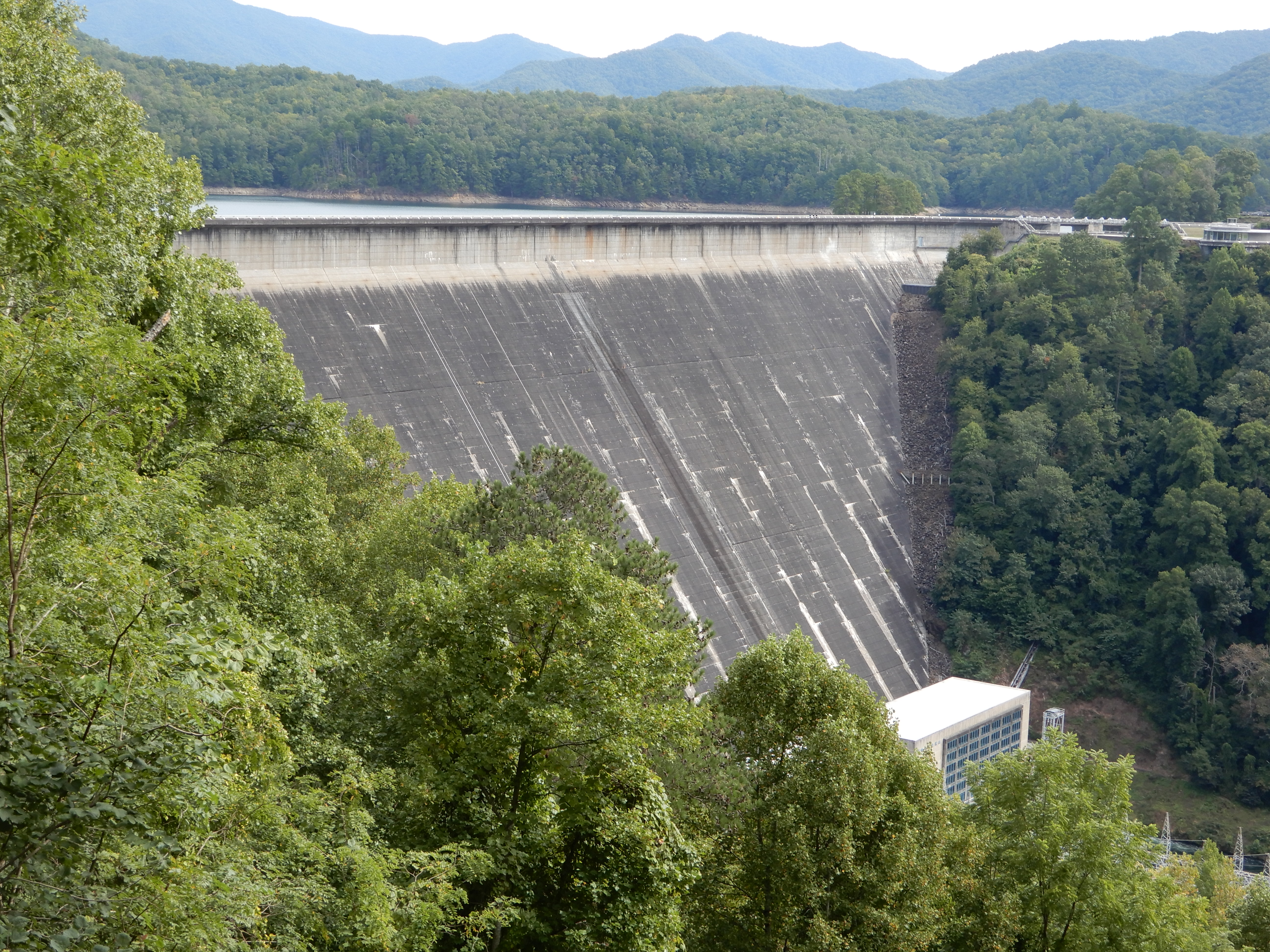
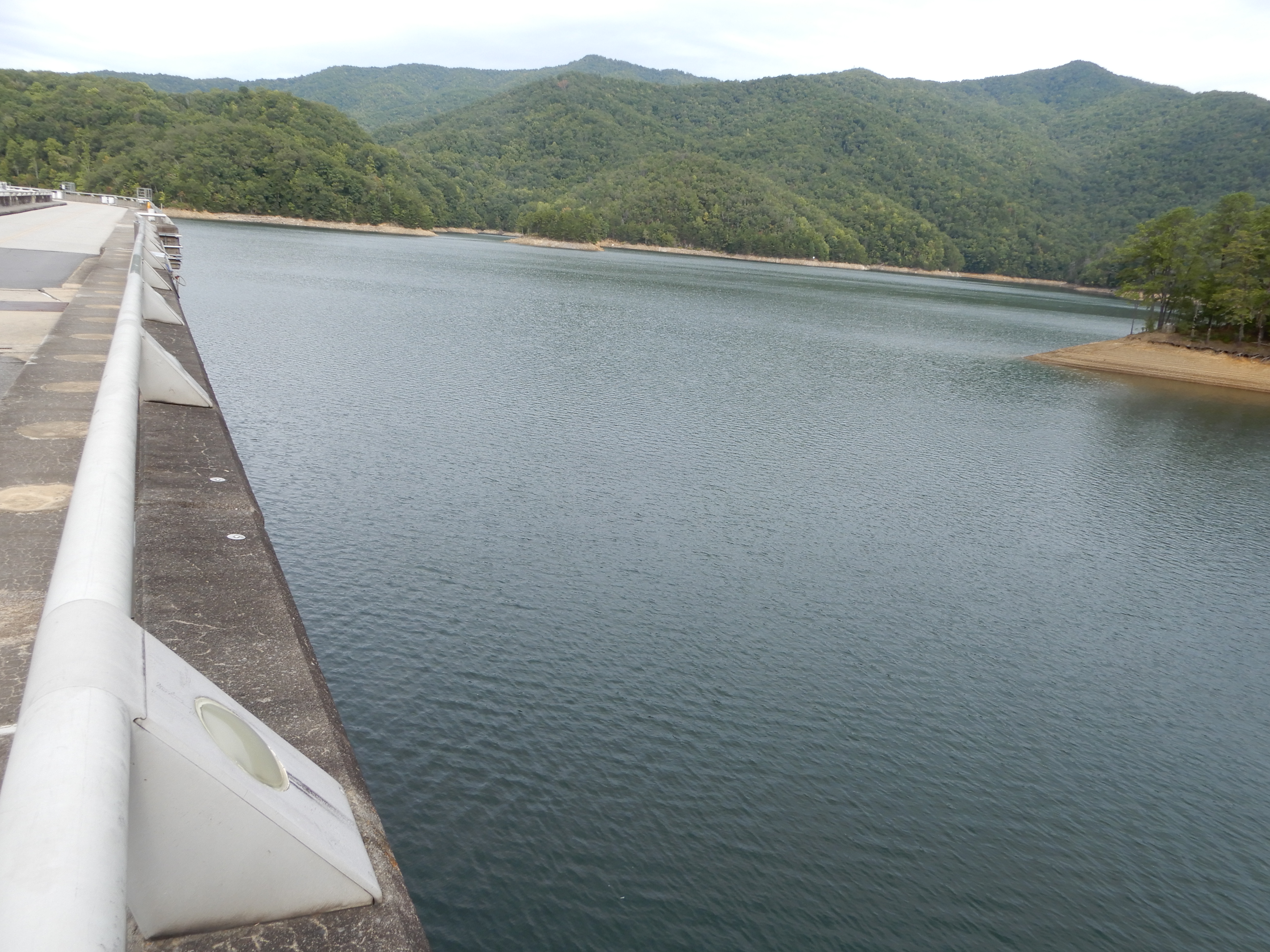
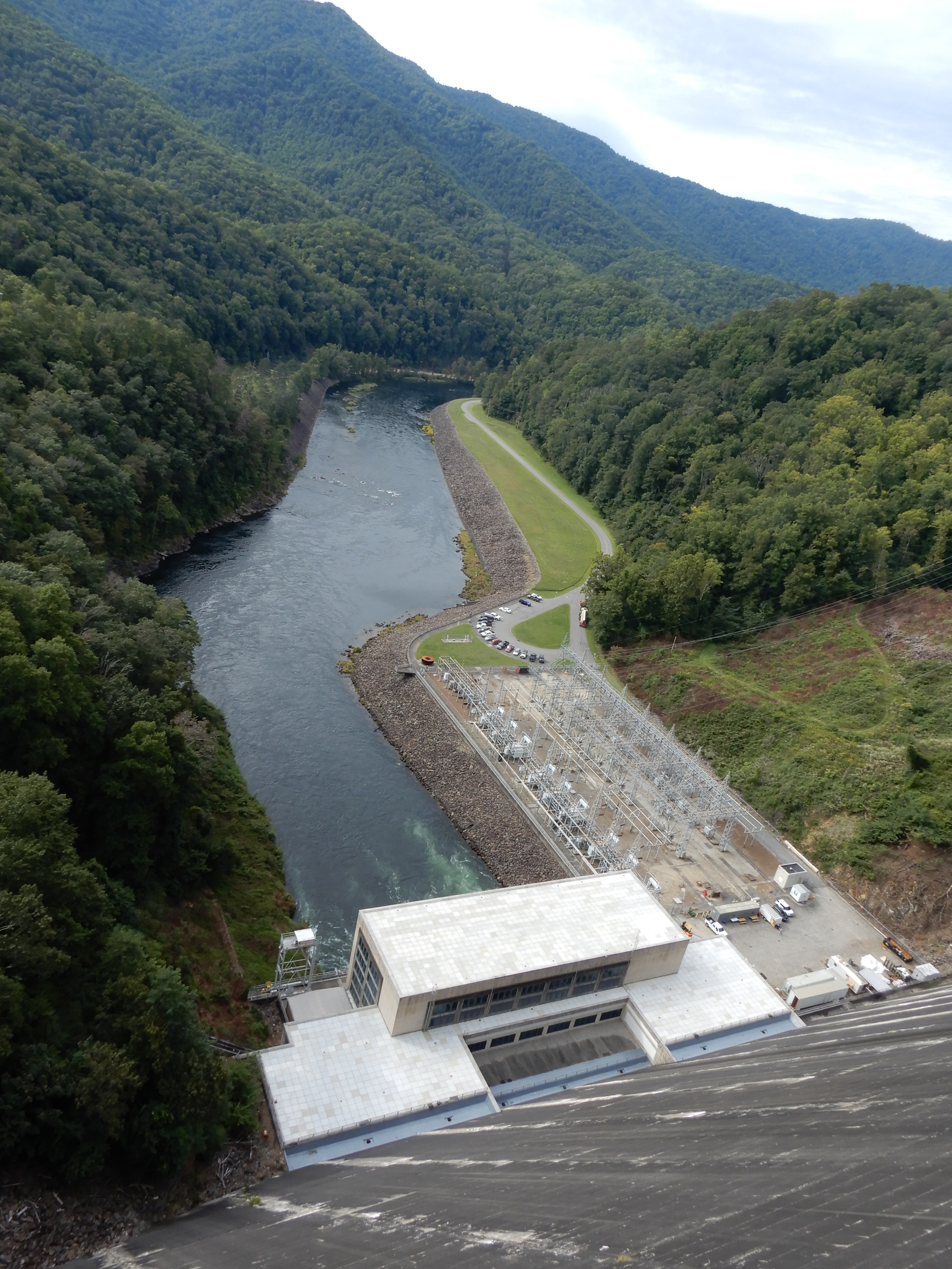
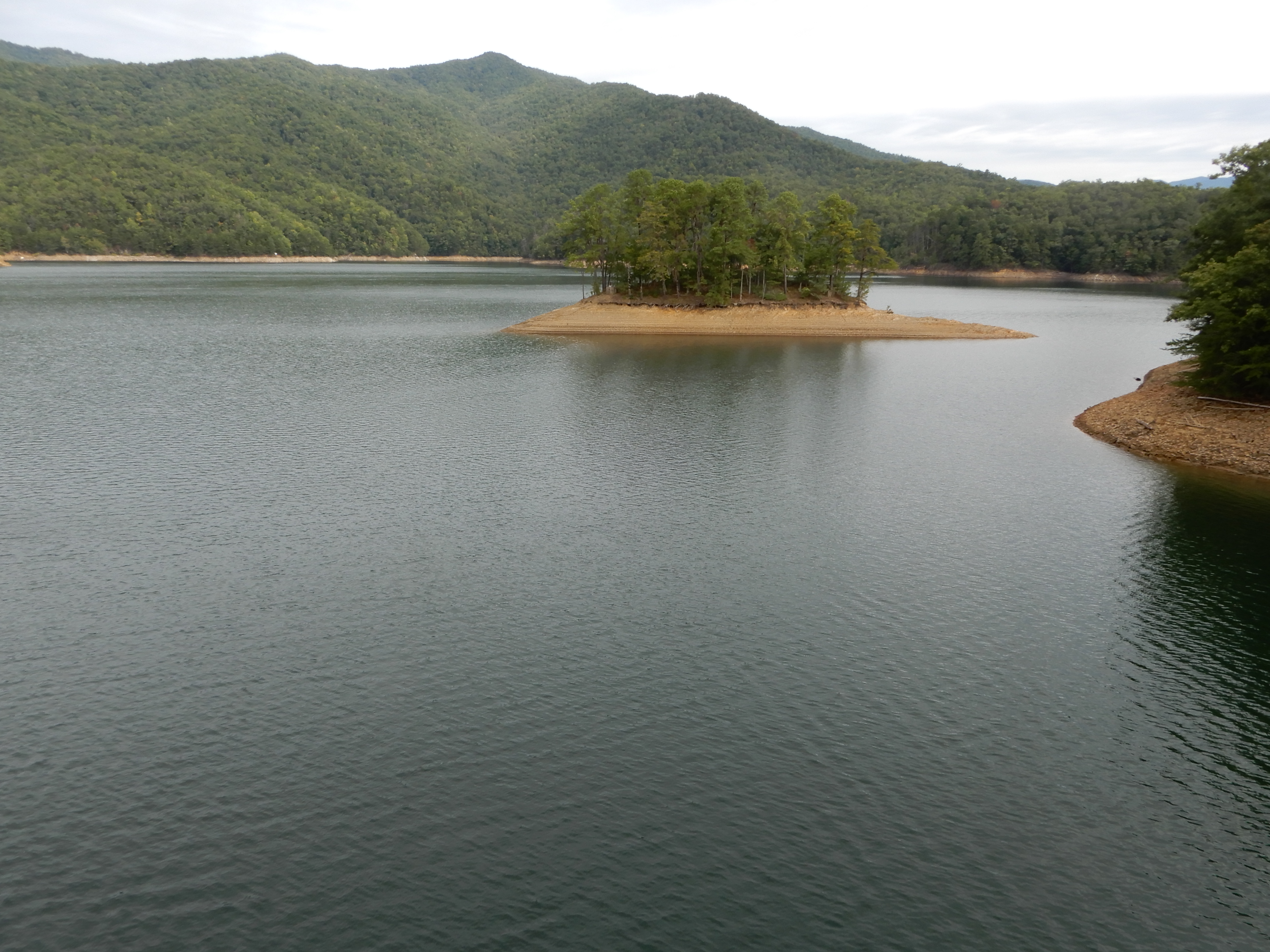
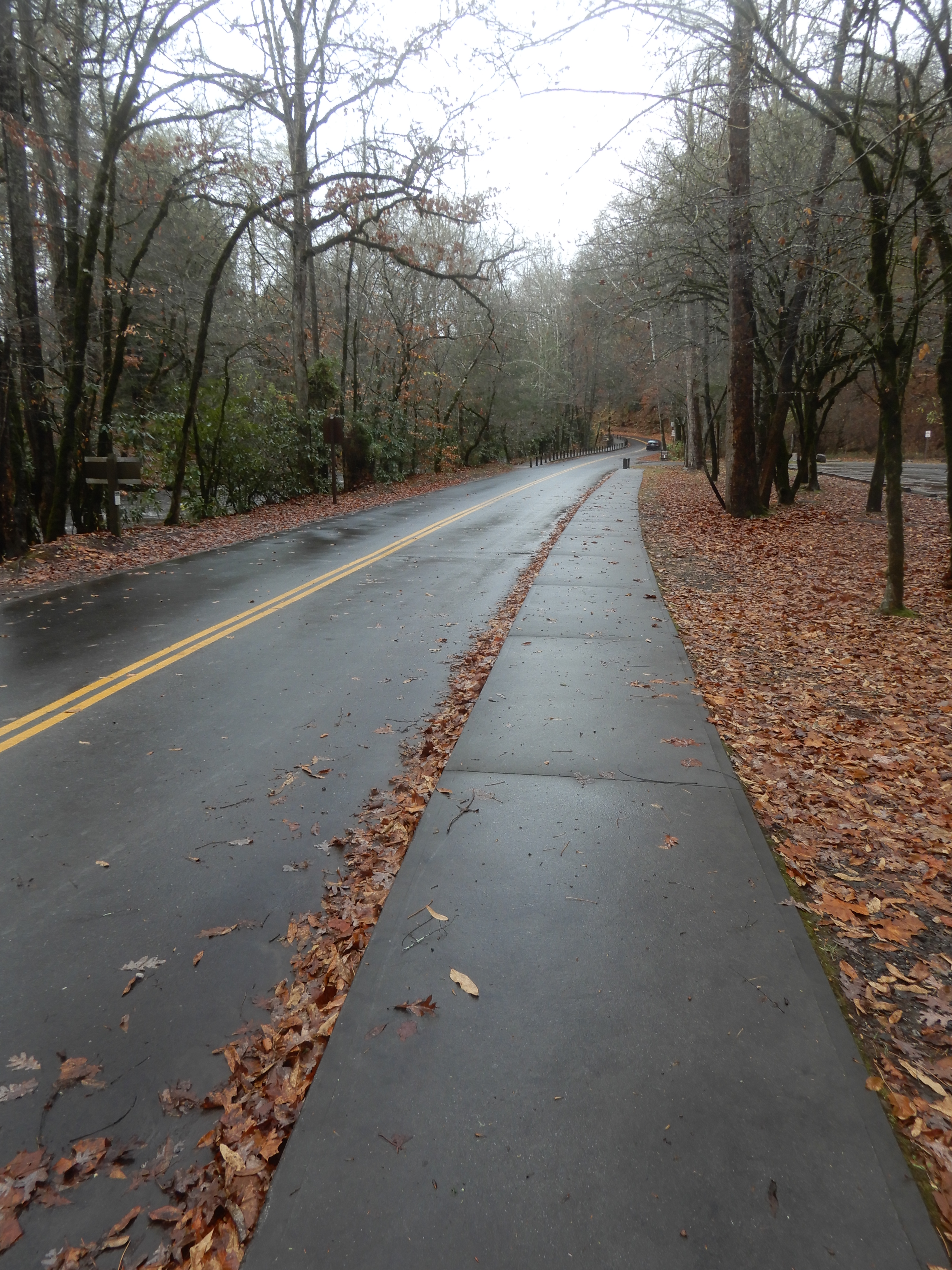
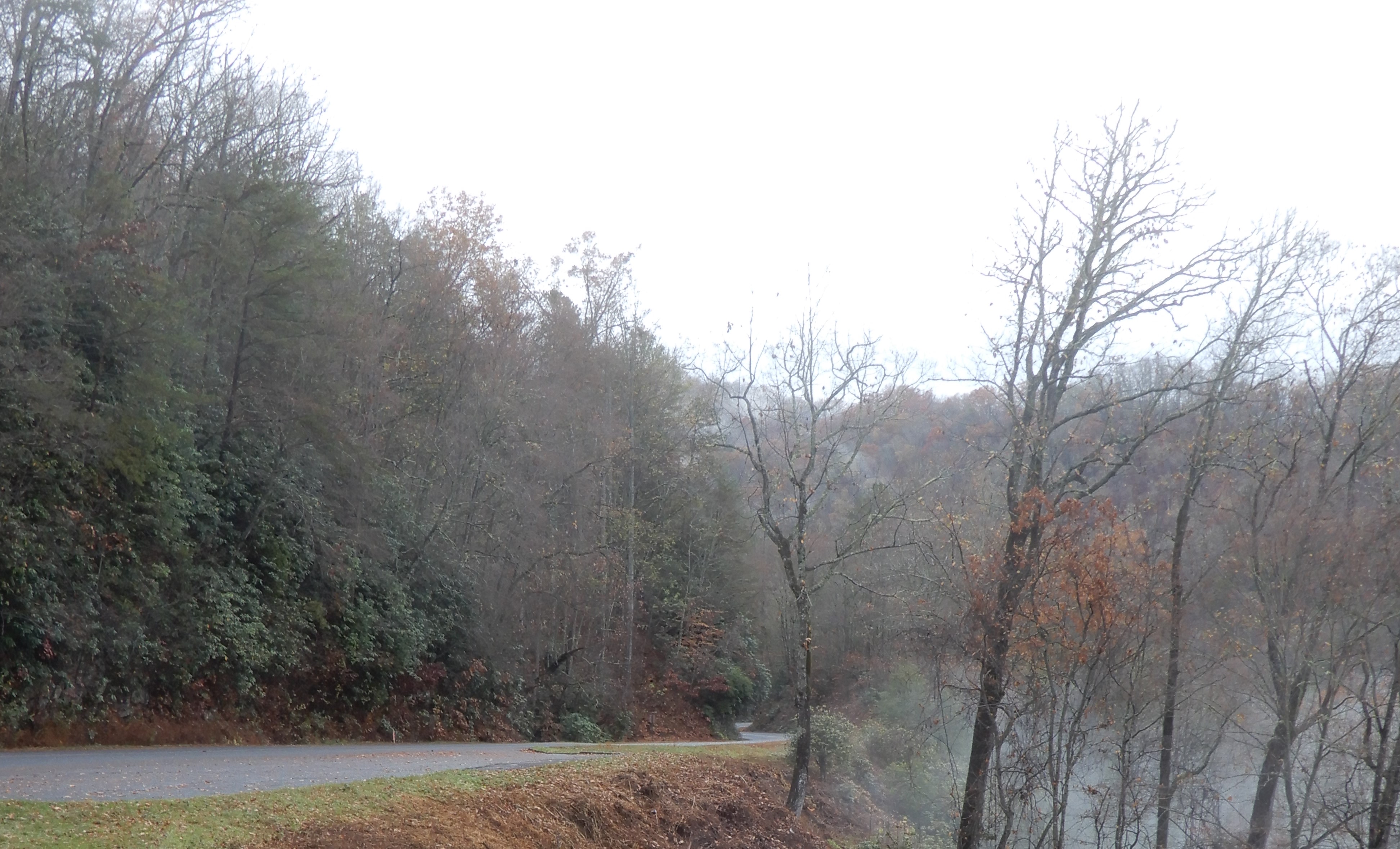
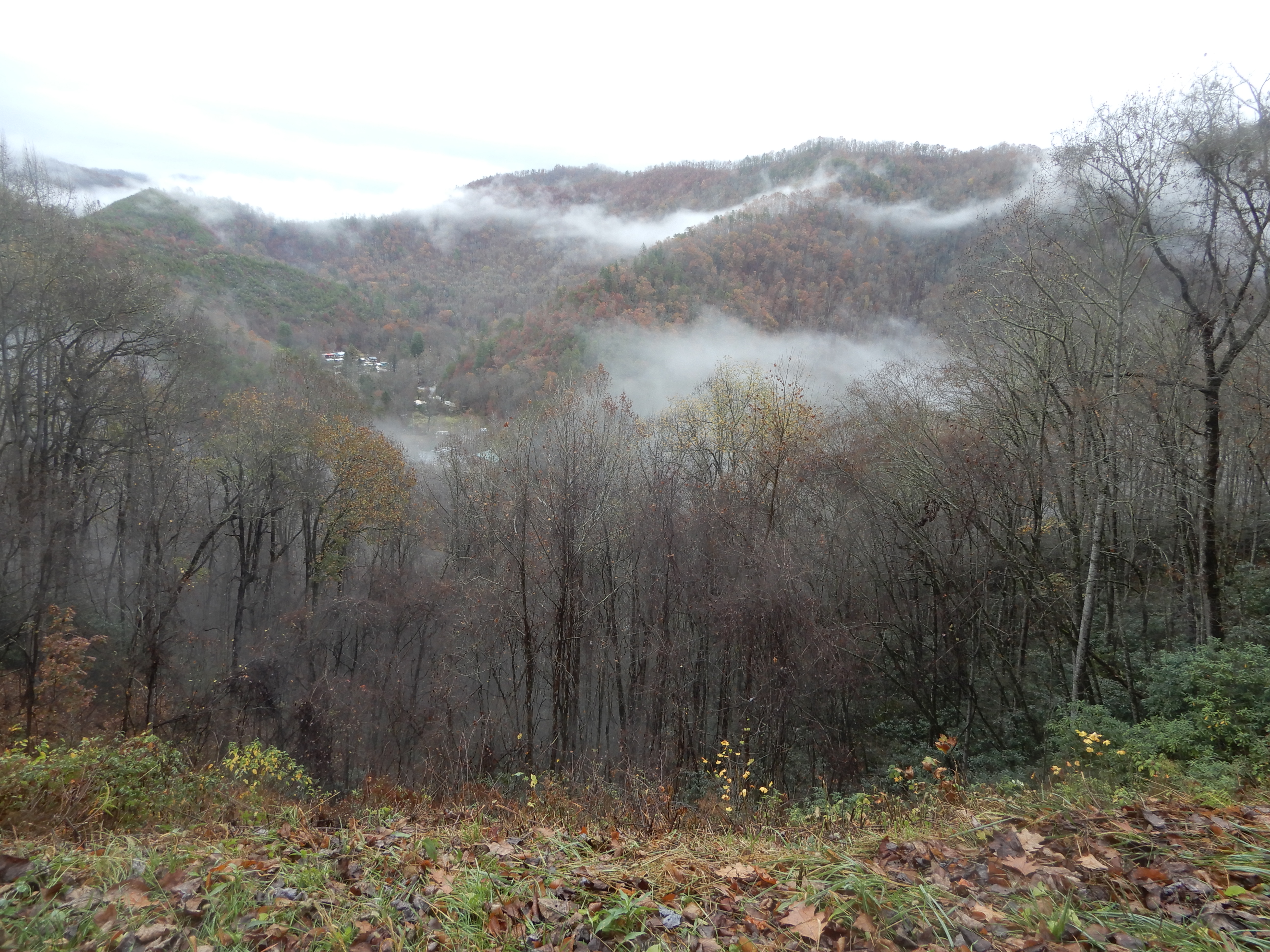
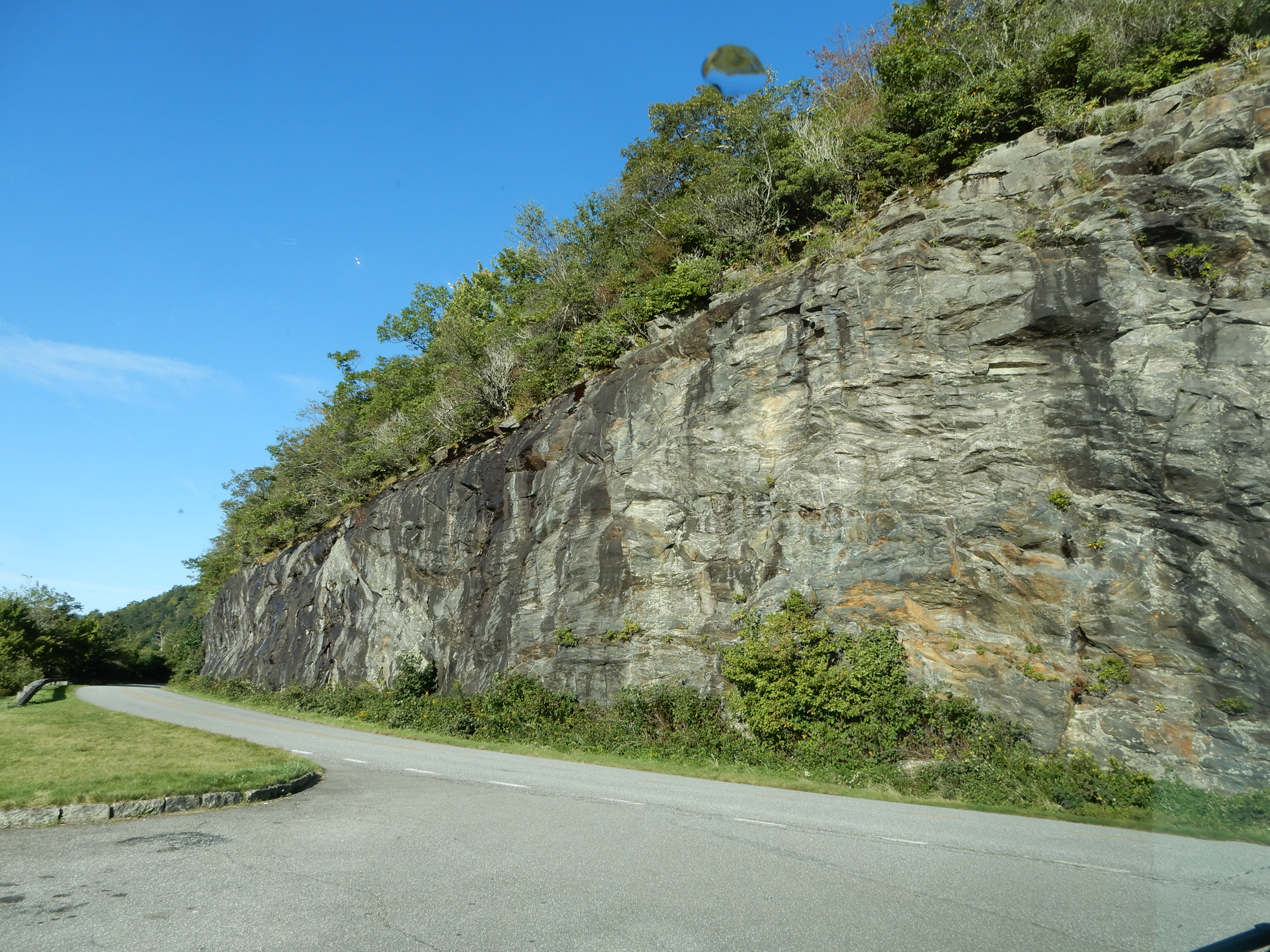
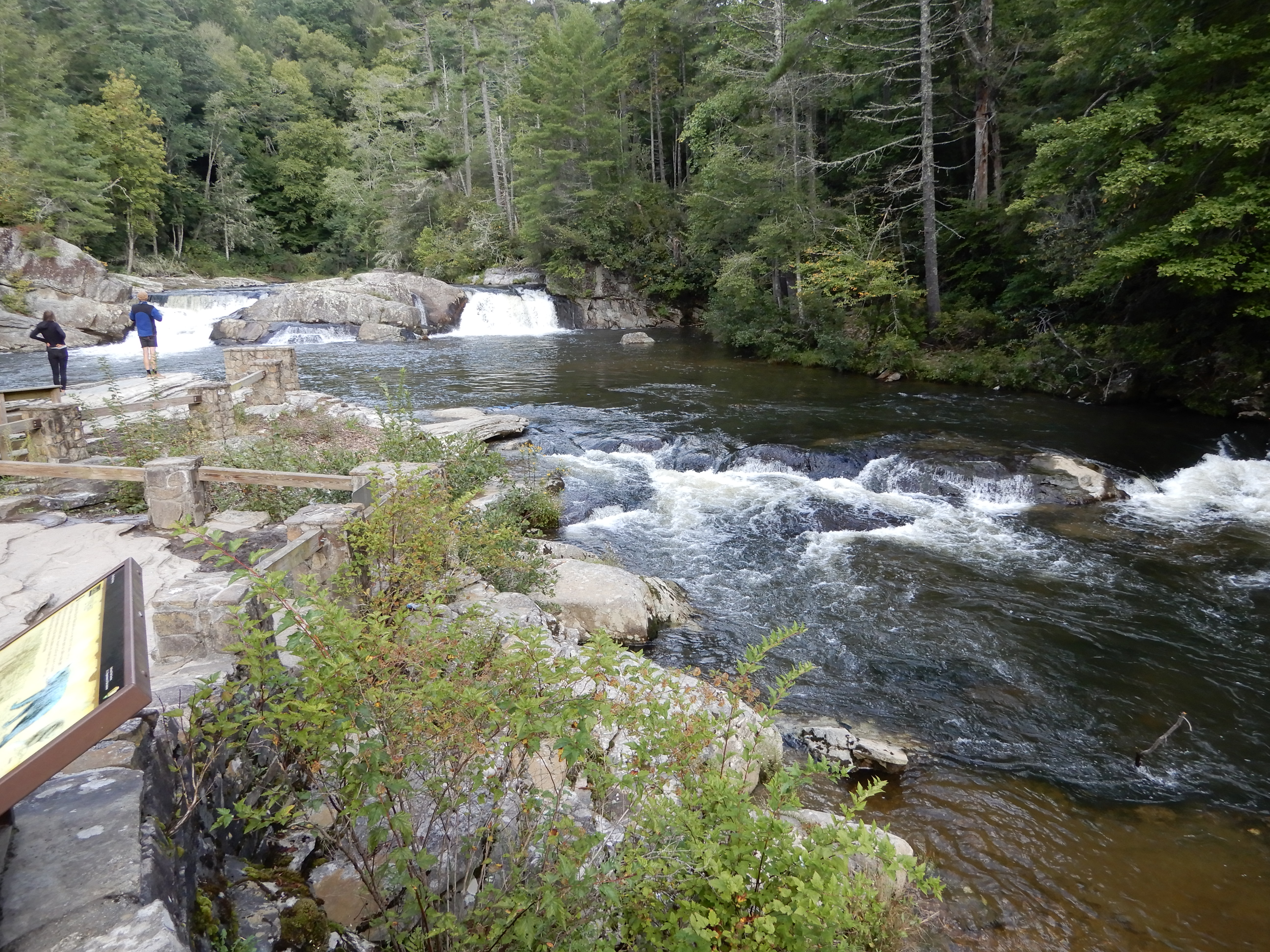
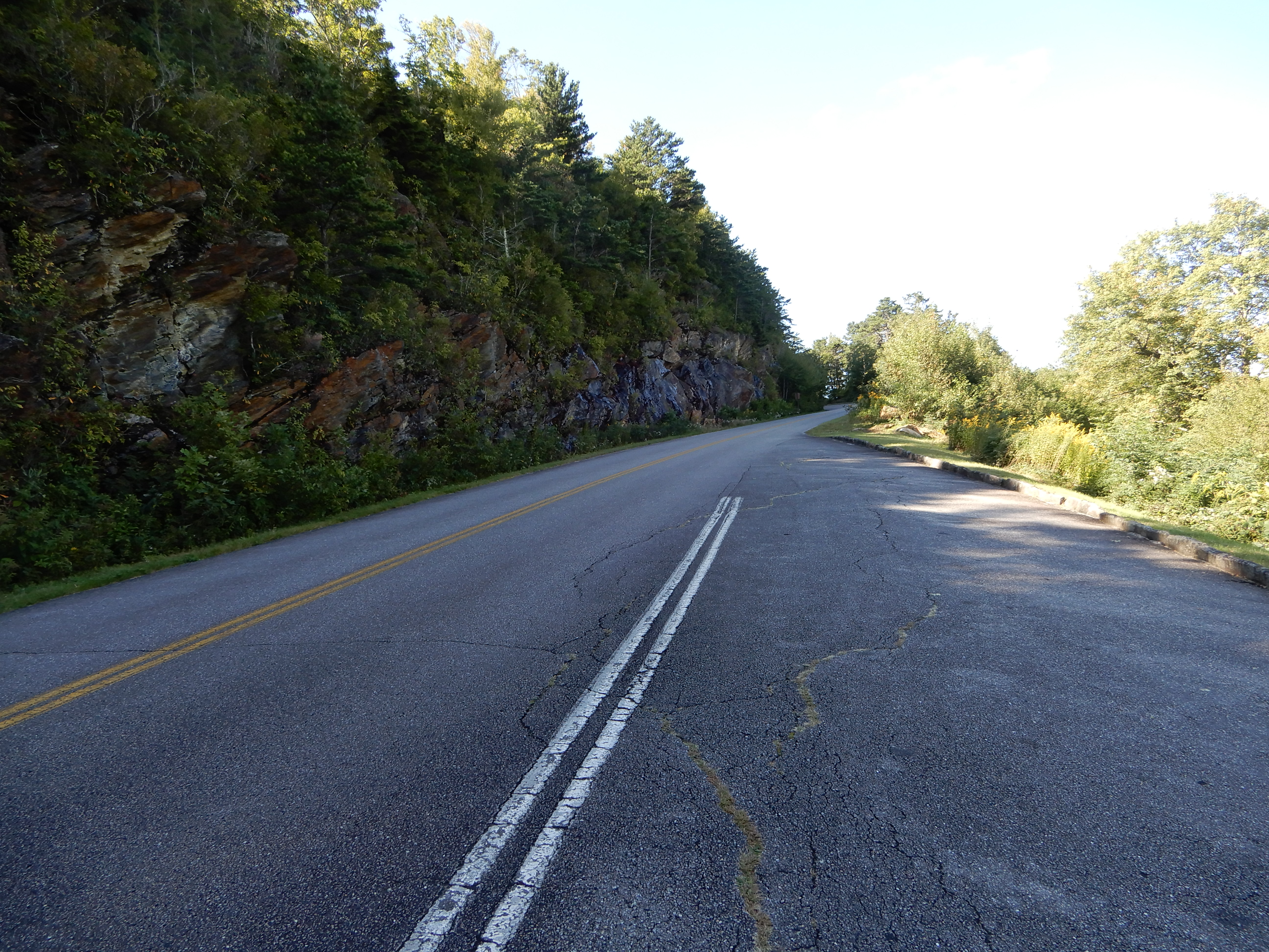
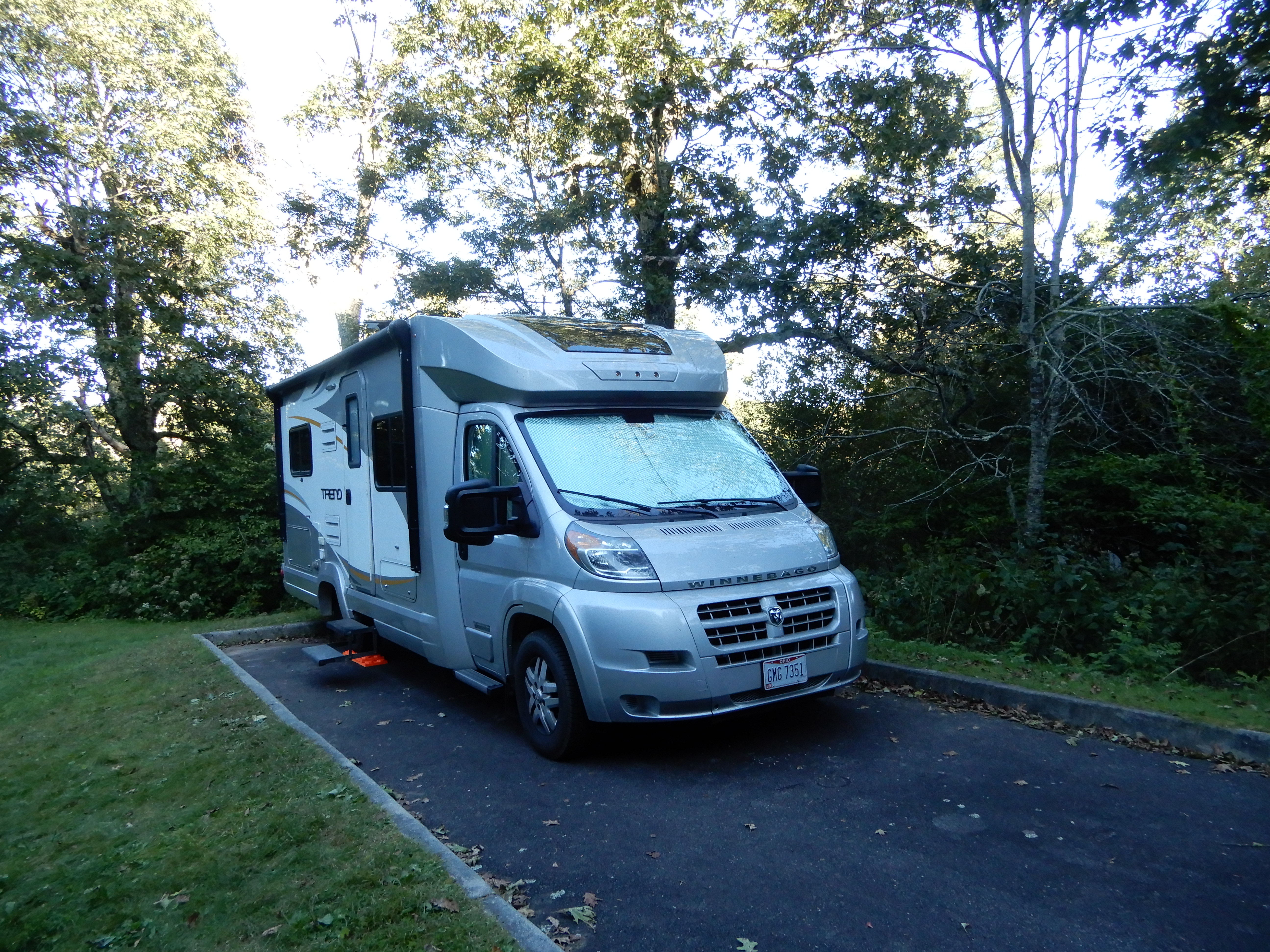
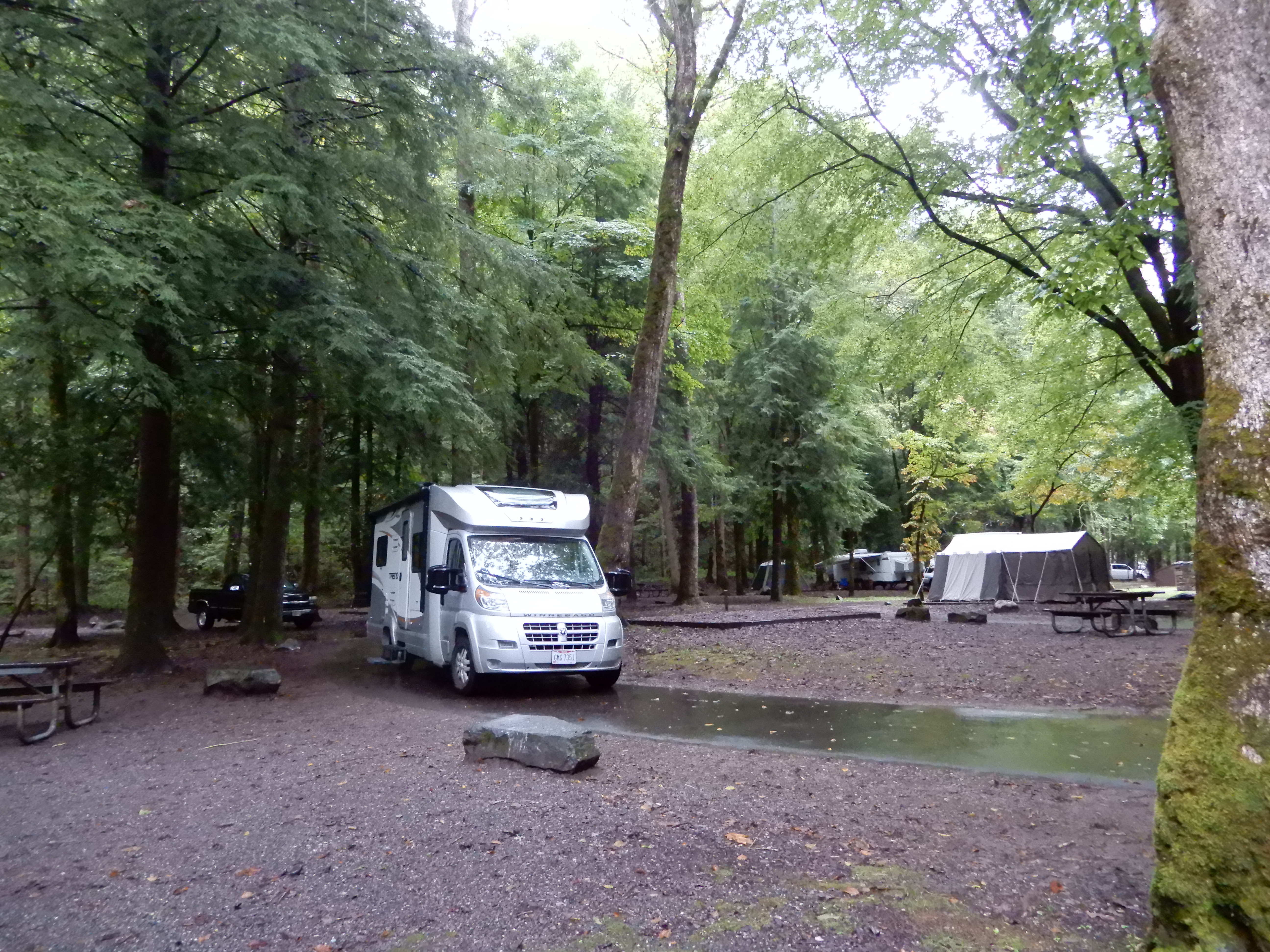
We drove on to Smokemont Campground and got a site. Since it was too early to check in, we drove the Cove Road loop through the Cherokee Reservation. All the creeks were raging.


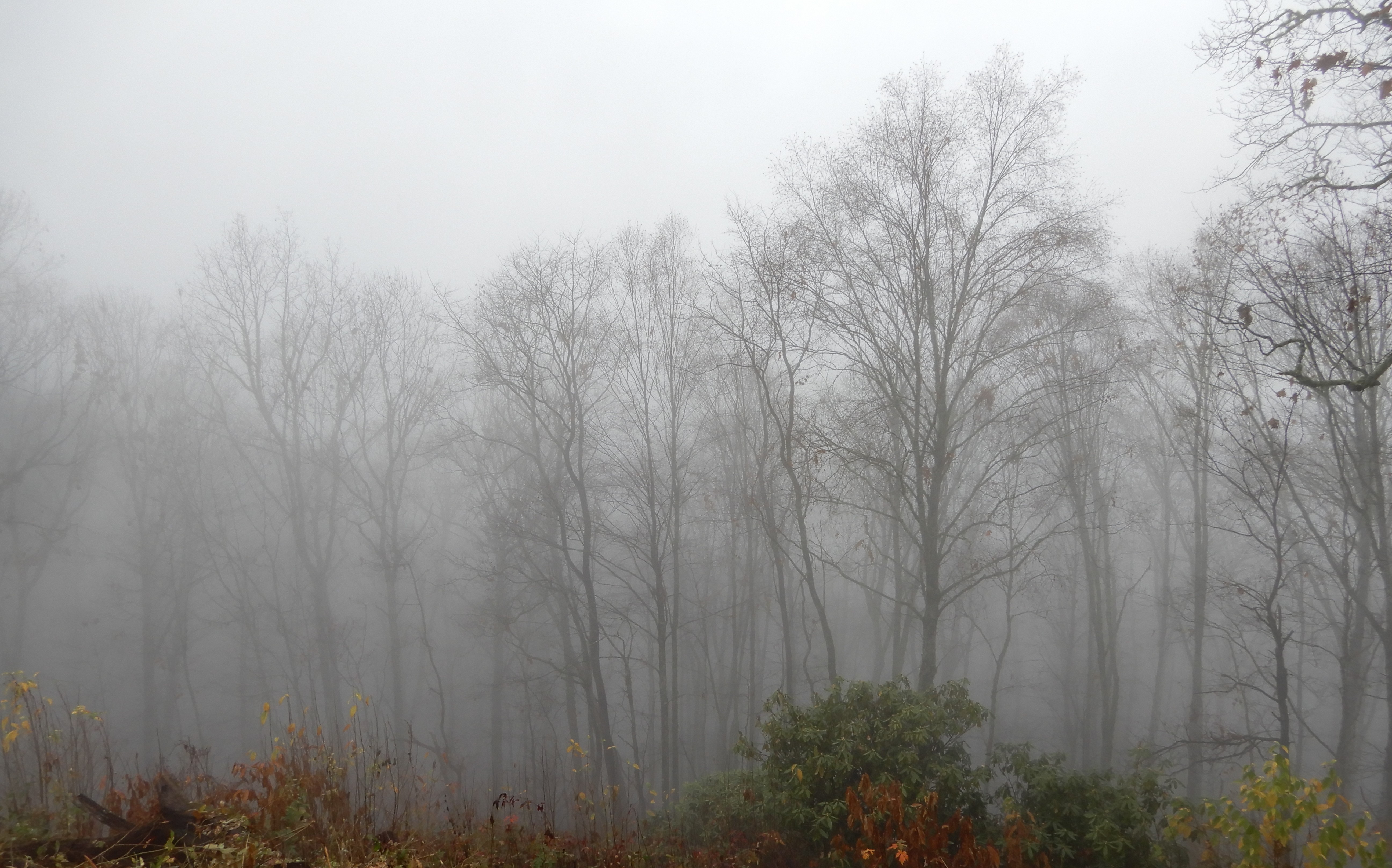
Returning to Smokemont from Cove Road, we set up in out site and ate lunch. It drizzled rain the entire day.


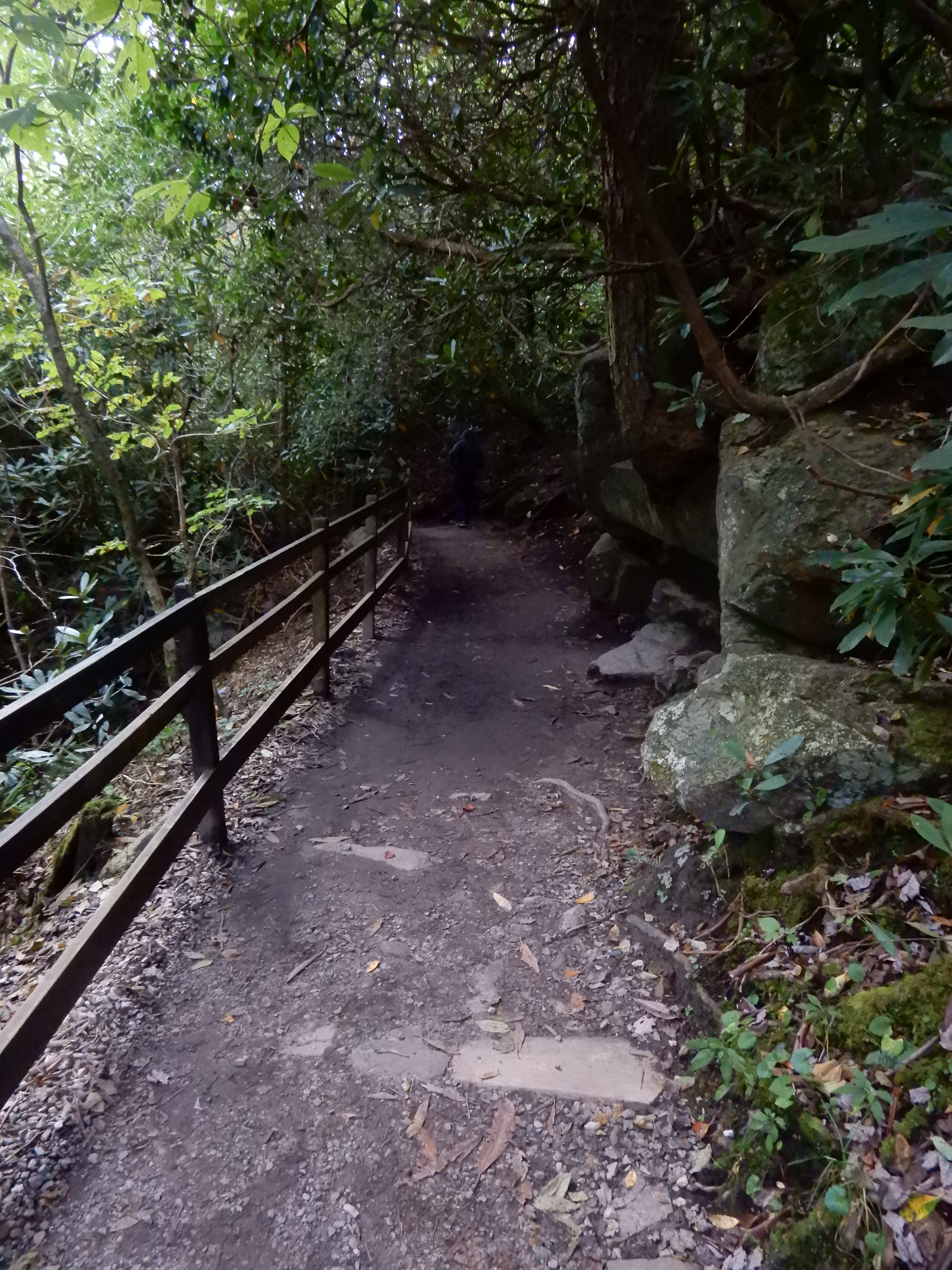
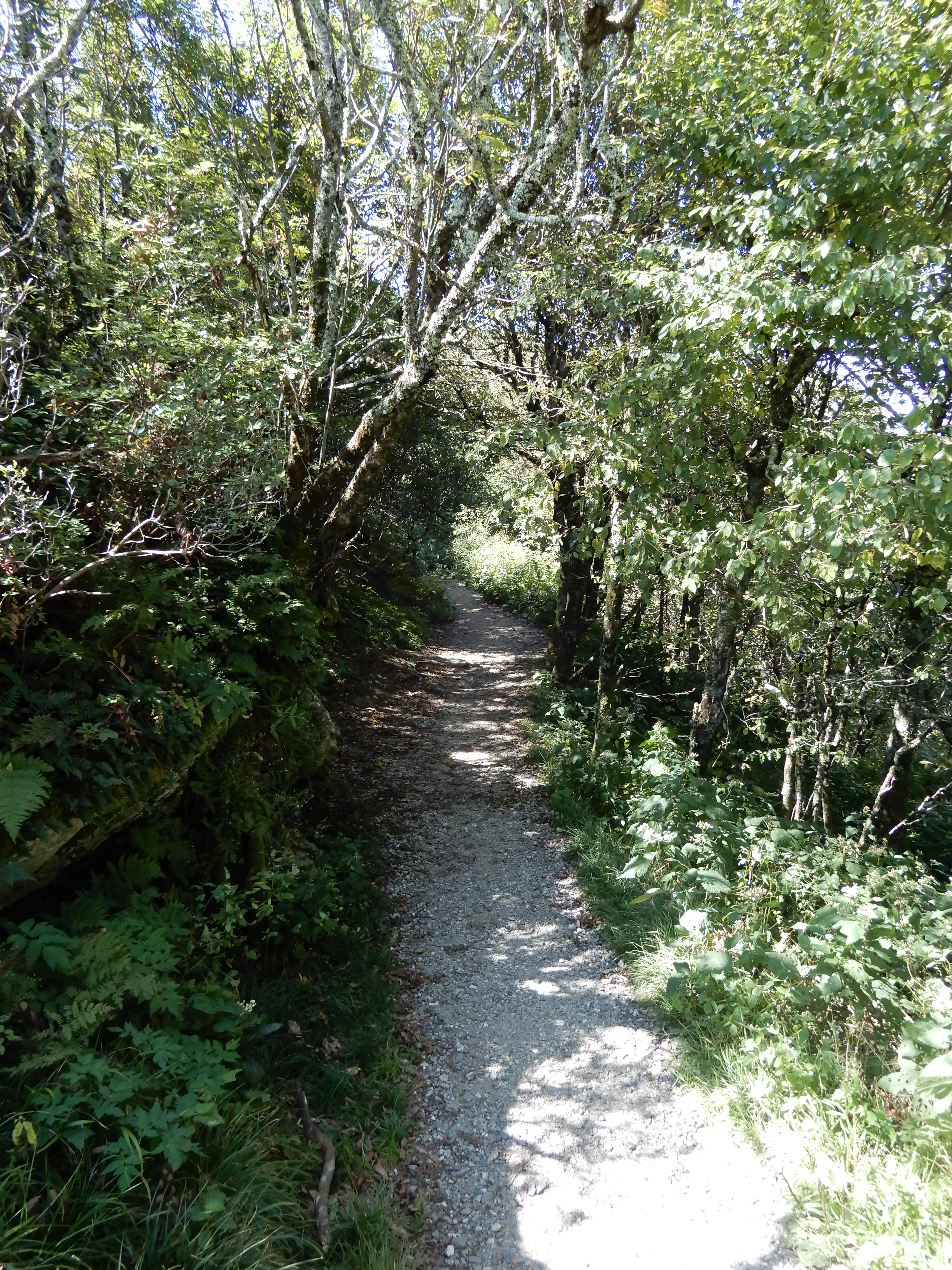
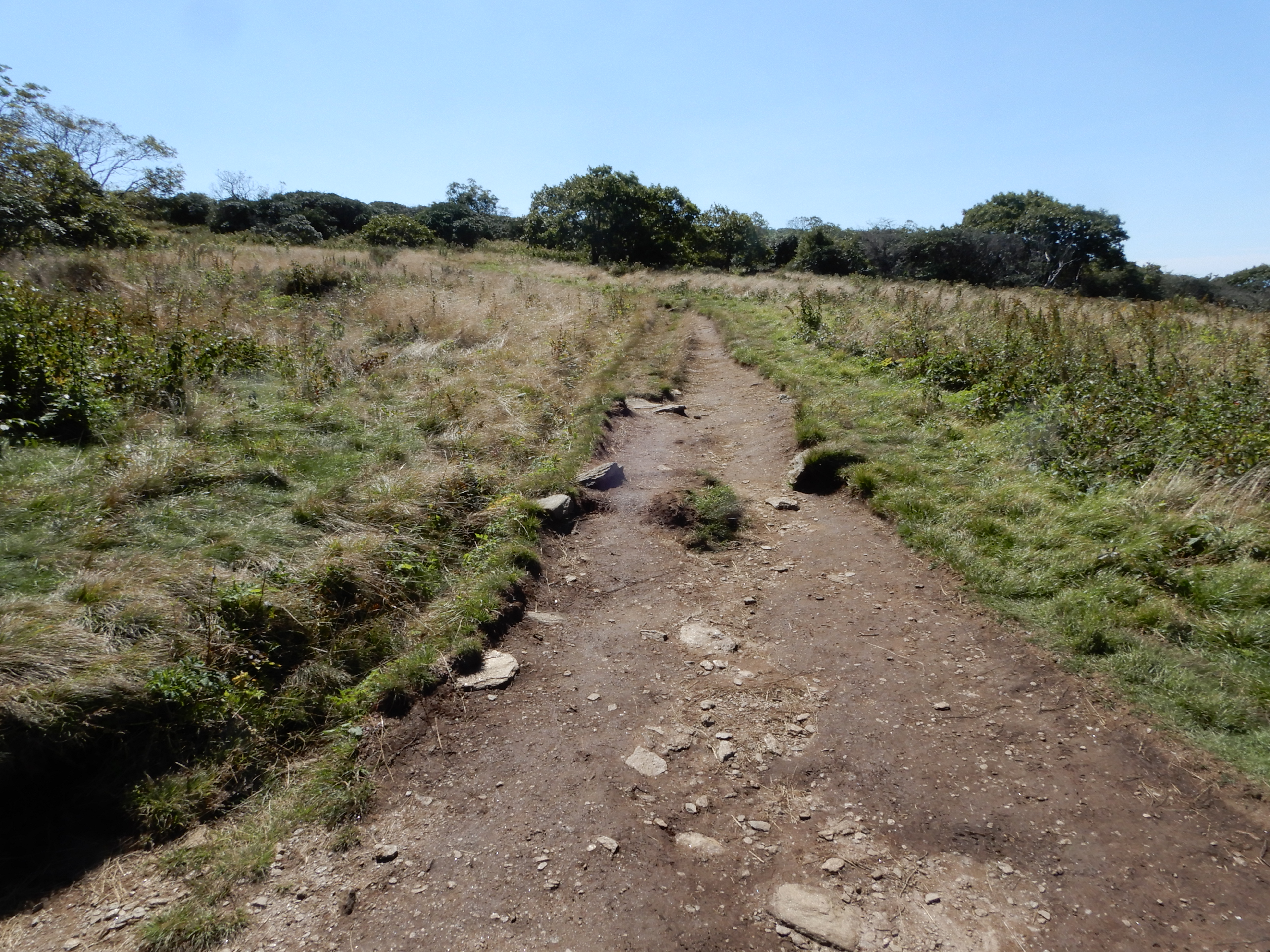
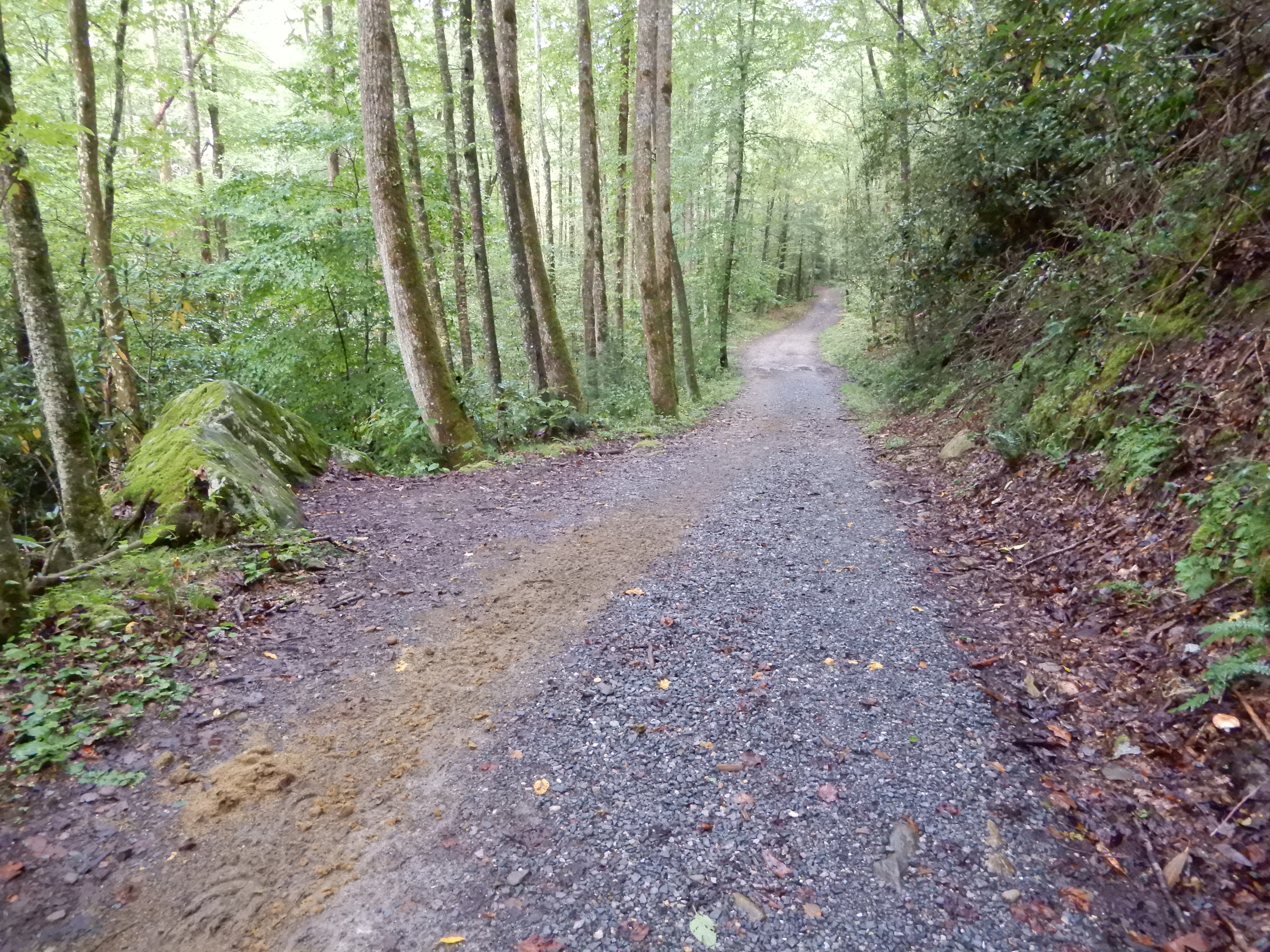
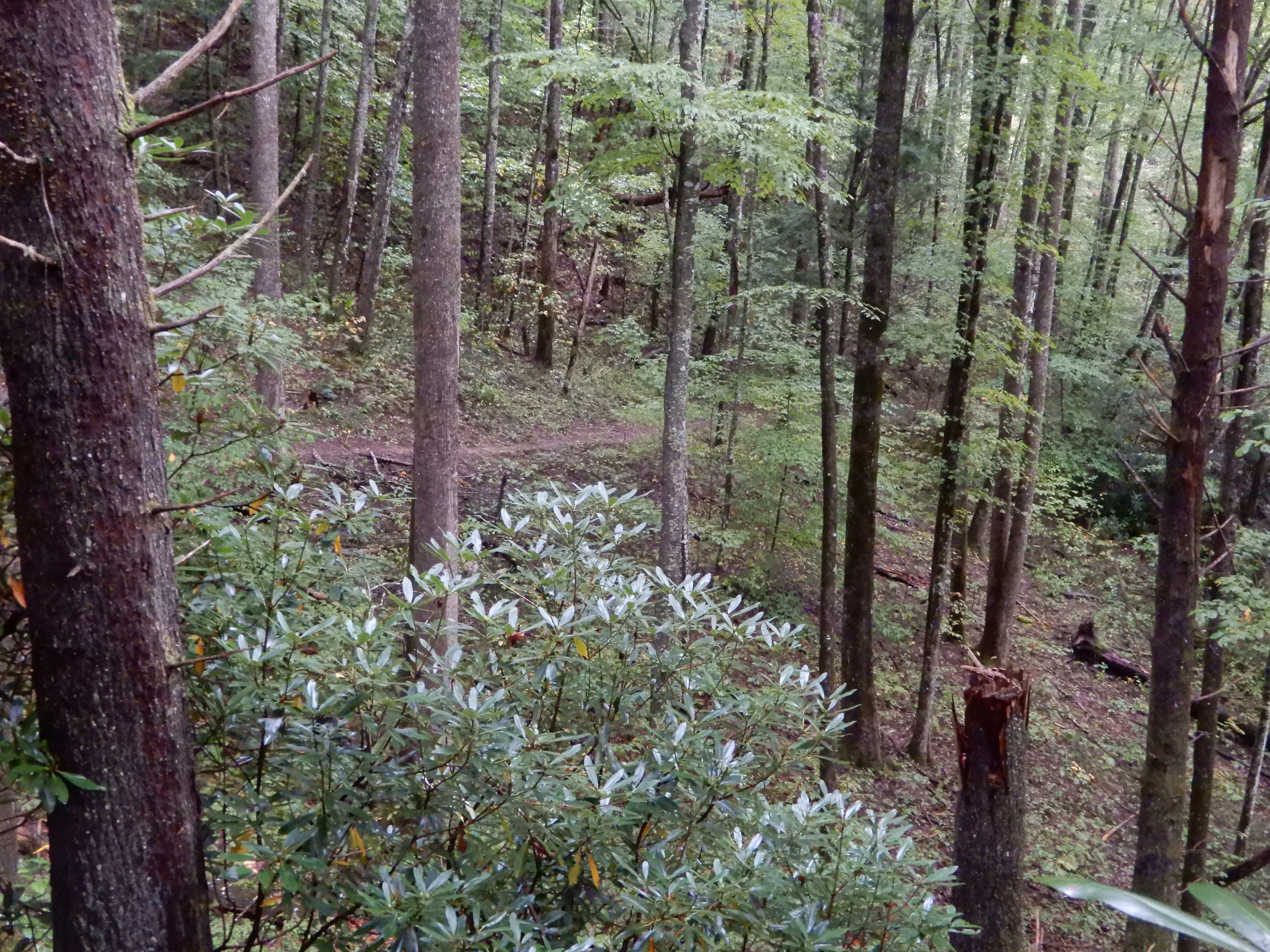
Early that morning I hiked half of the Smokemont Loop Trail. I started out on the horse trail.


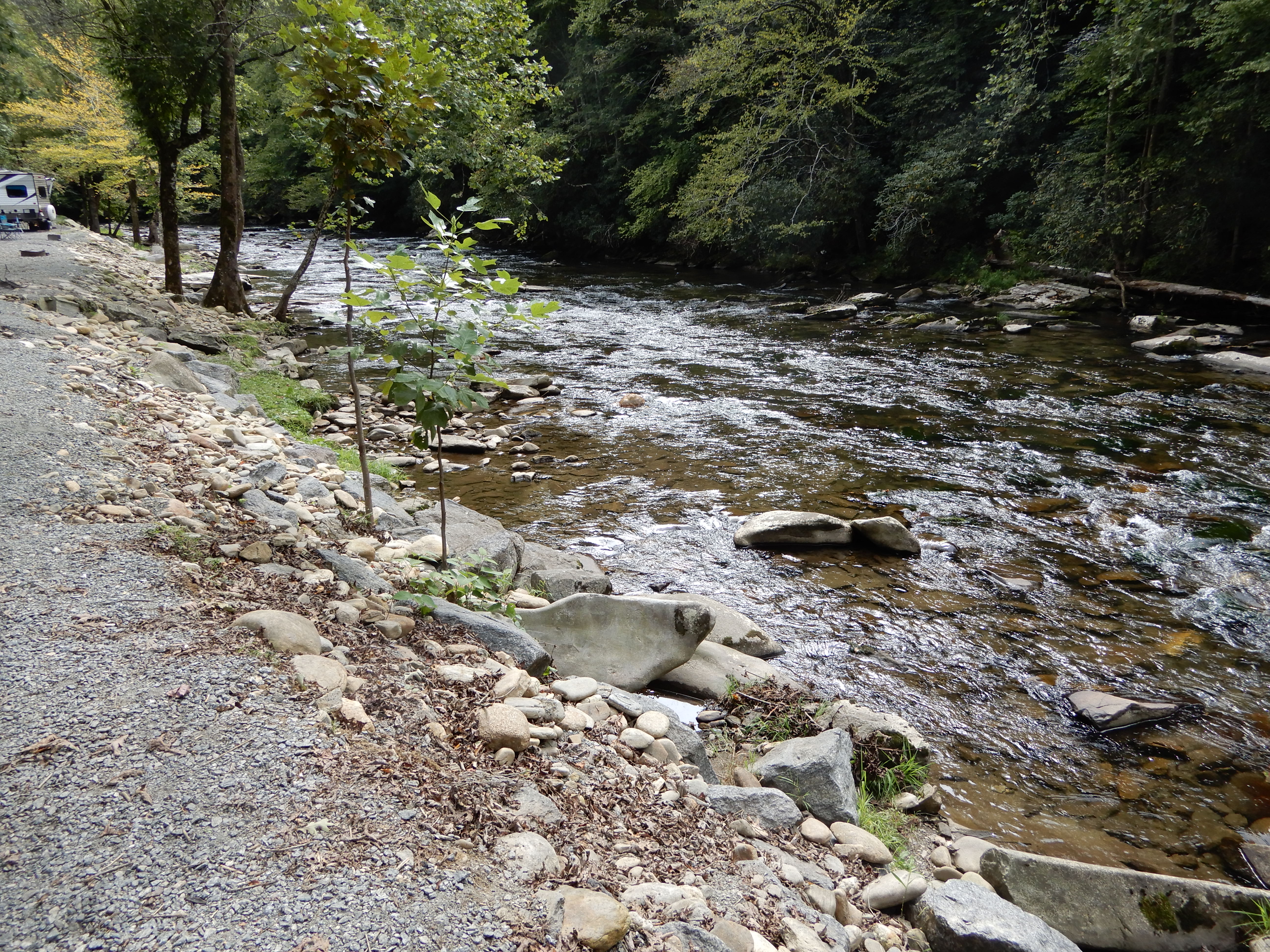
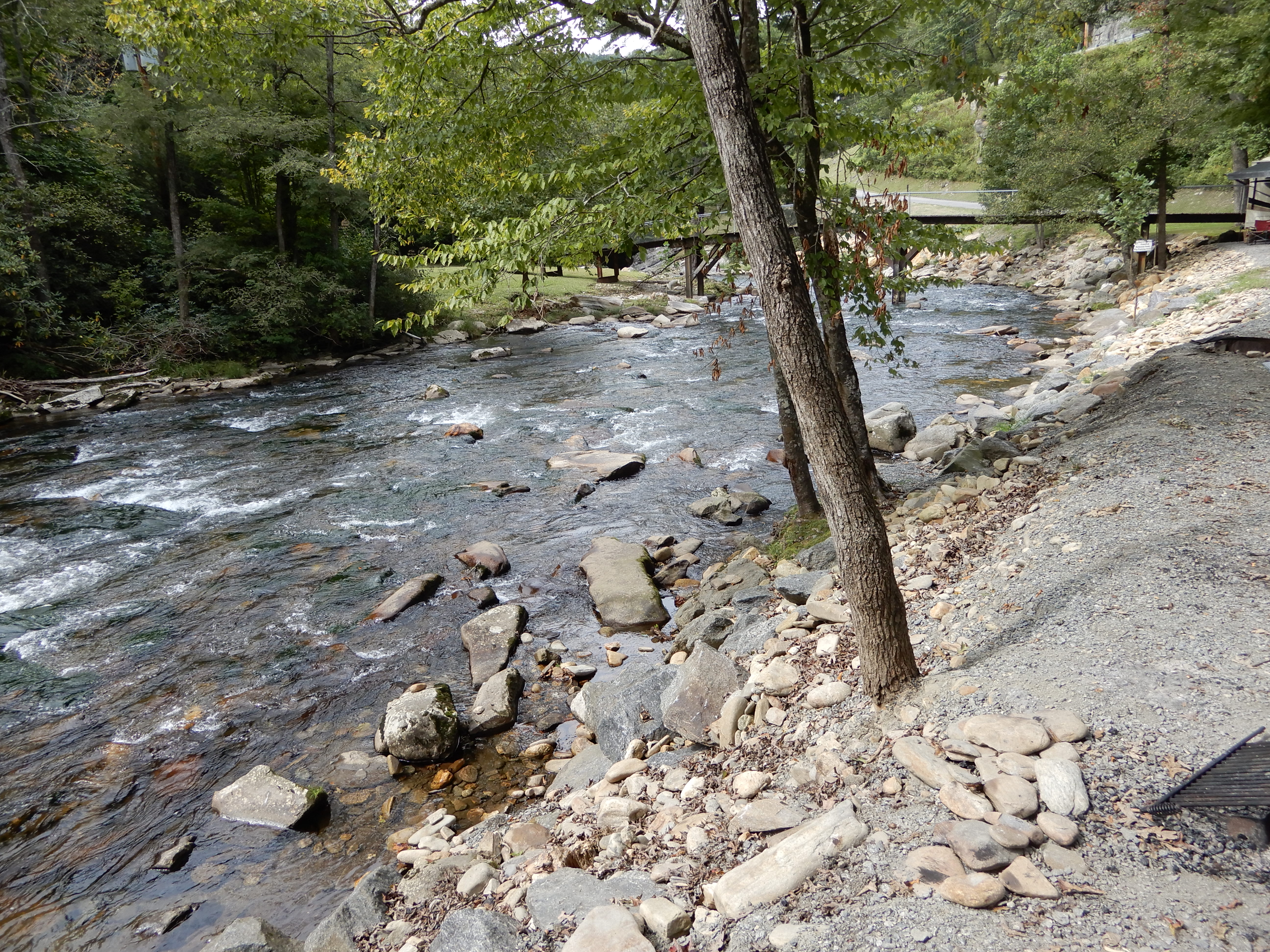
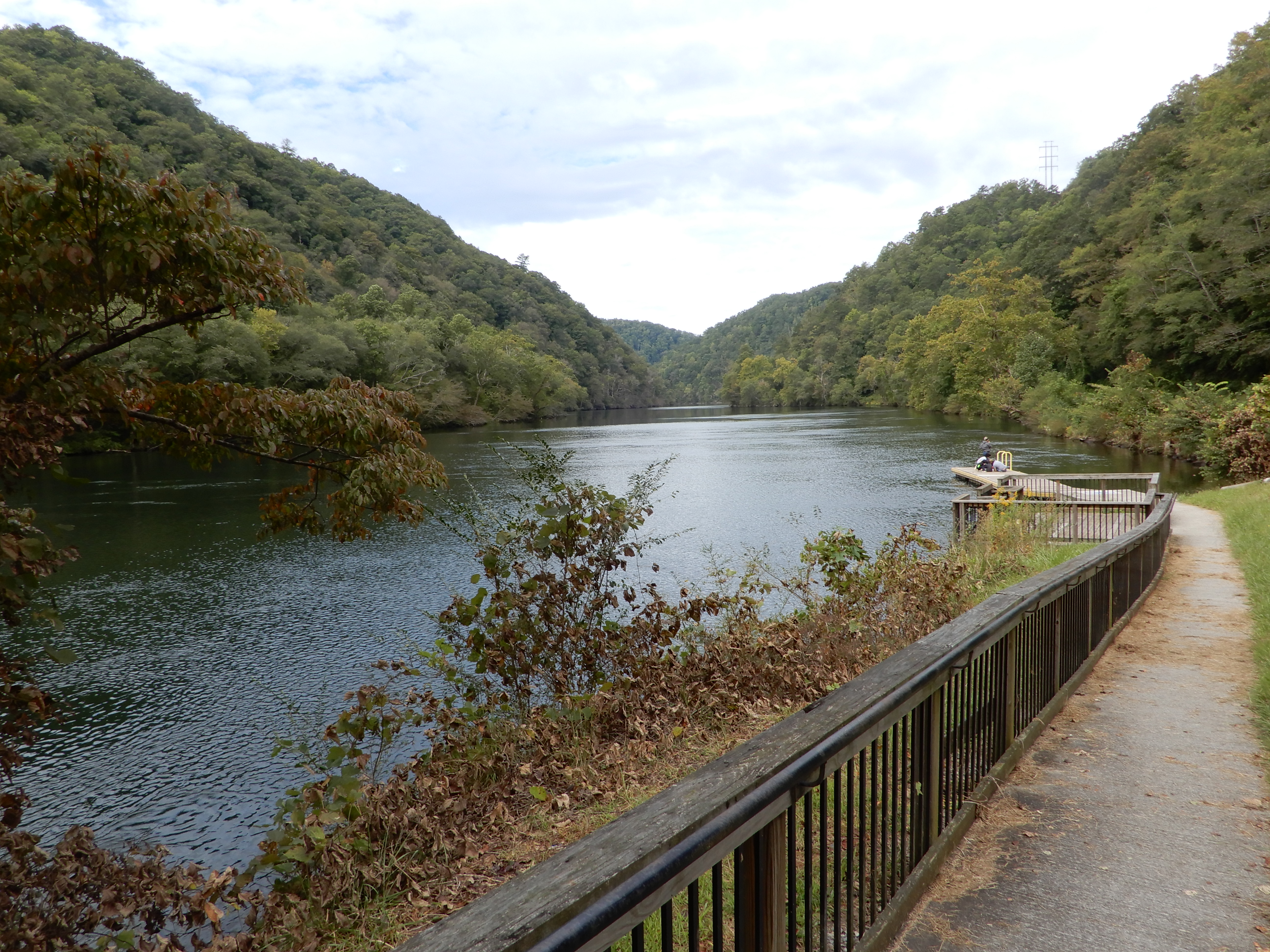
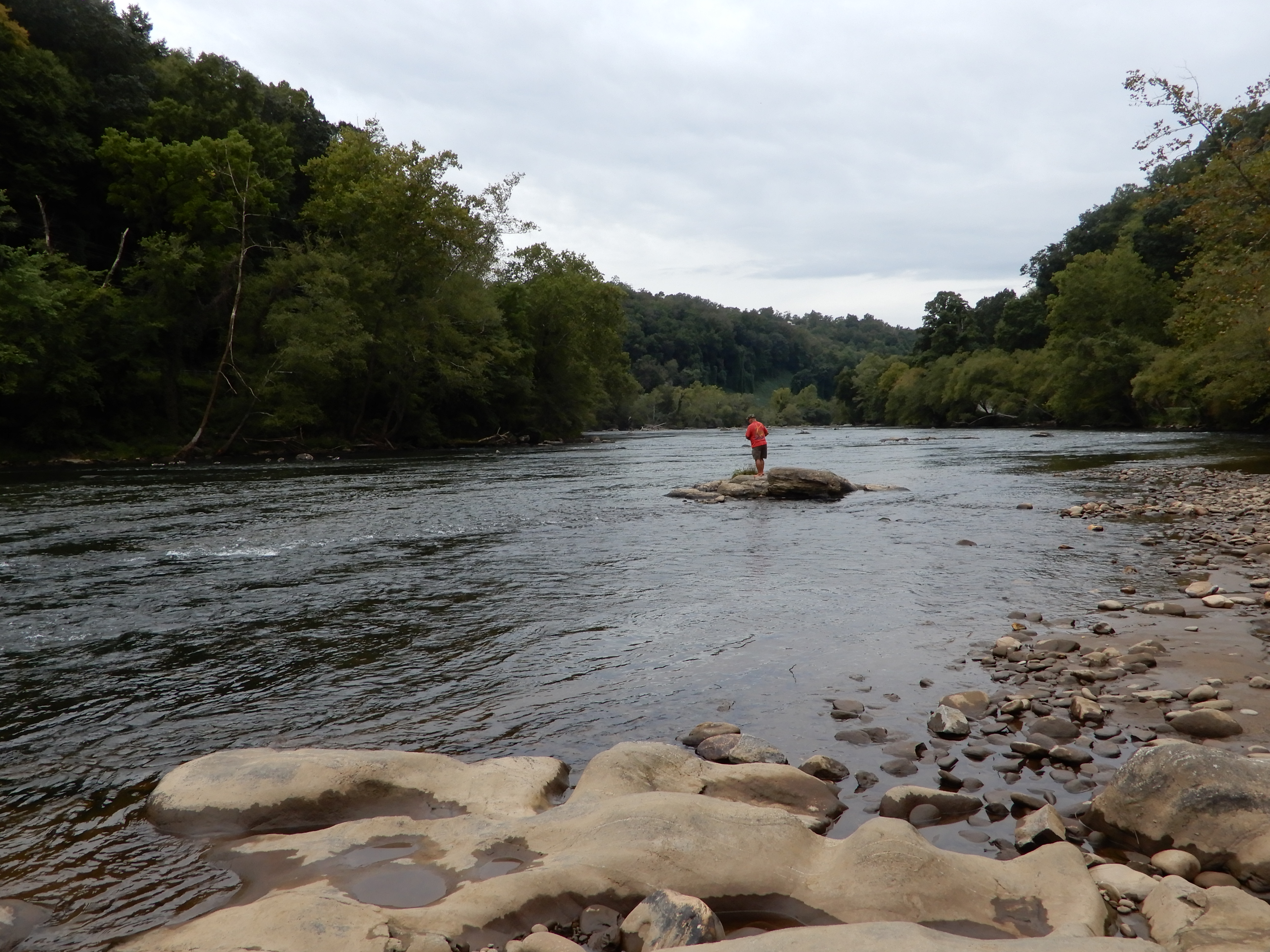
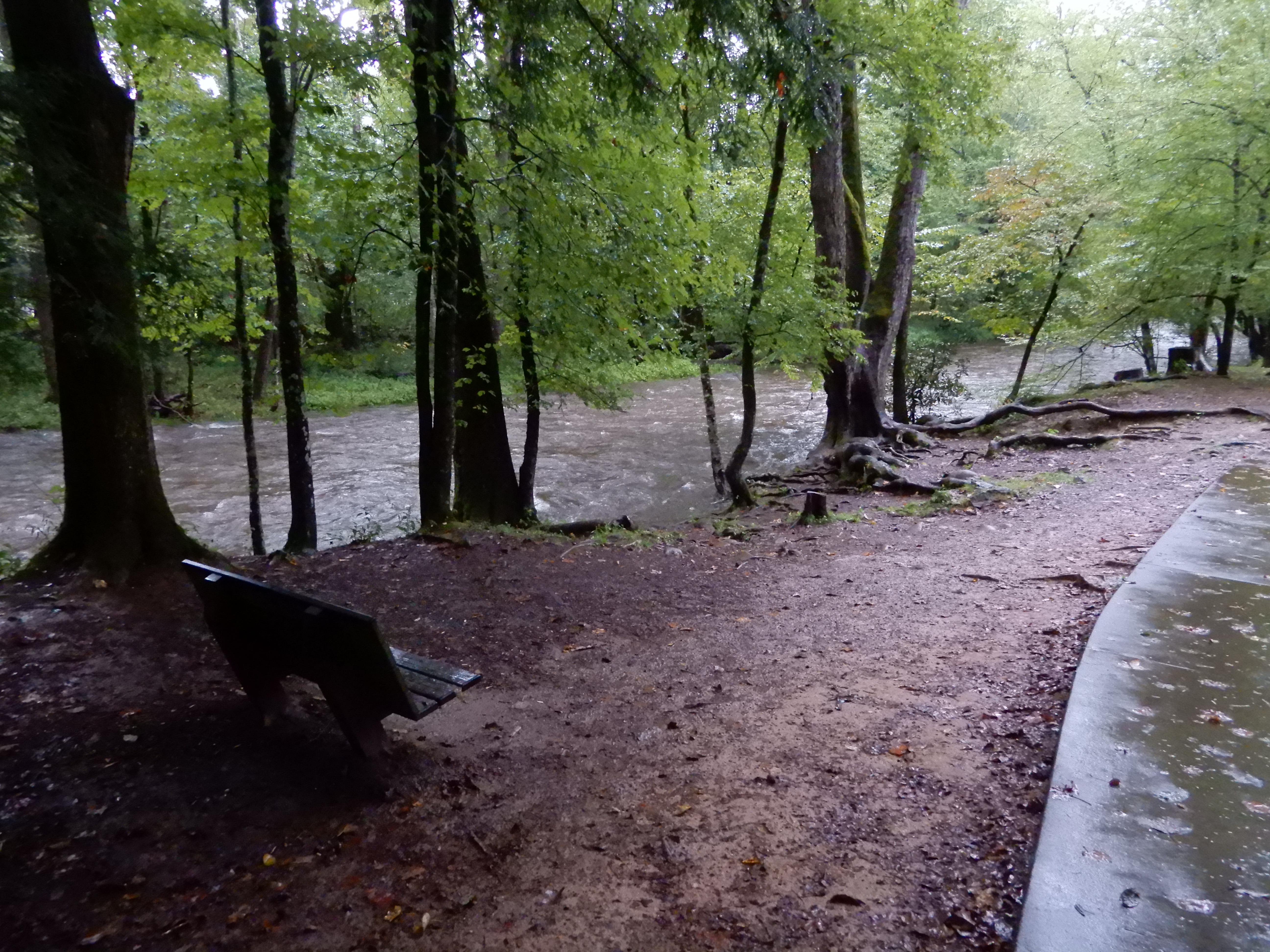
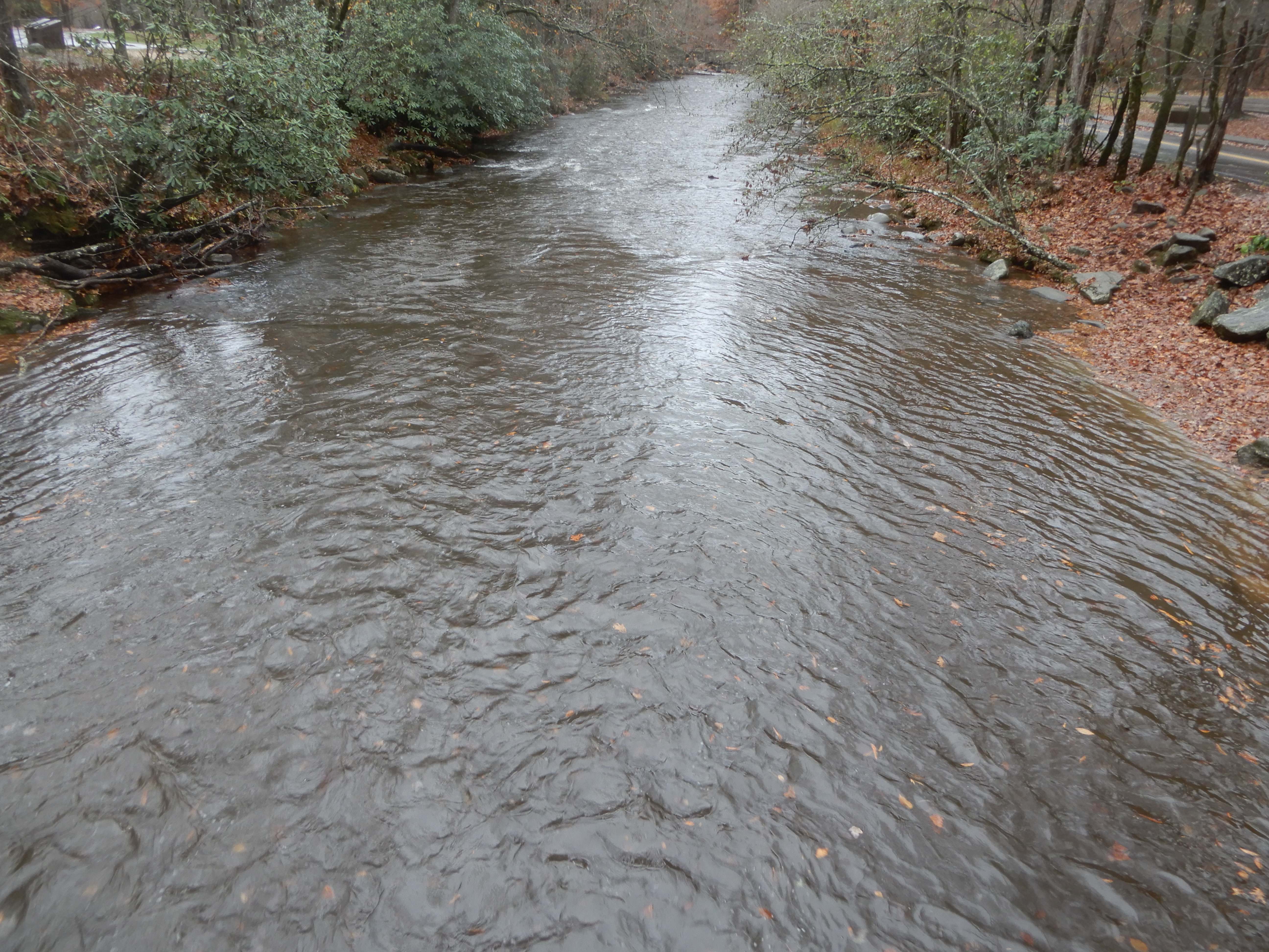
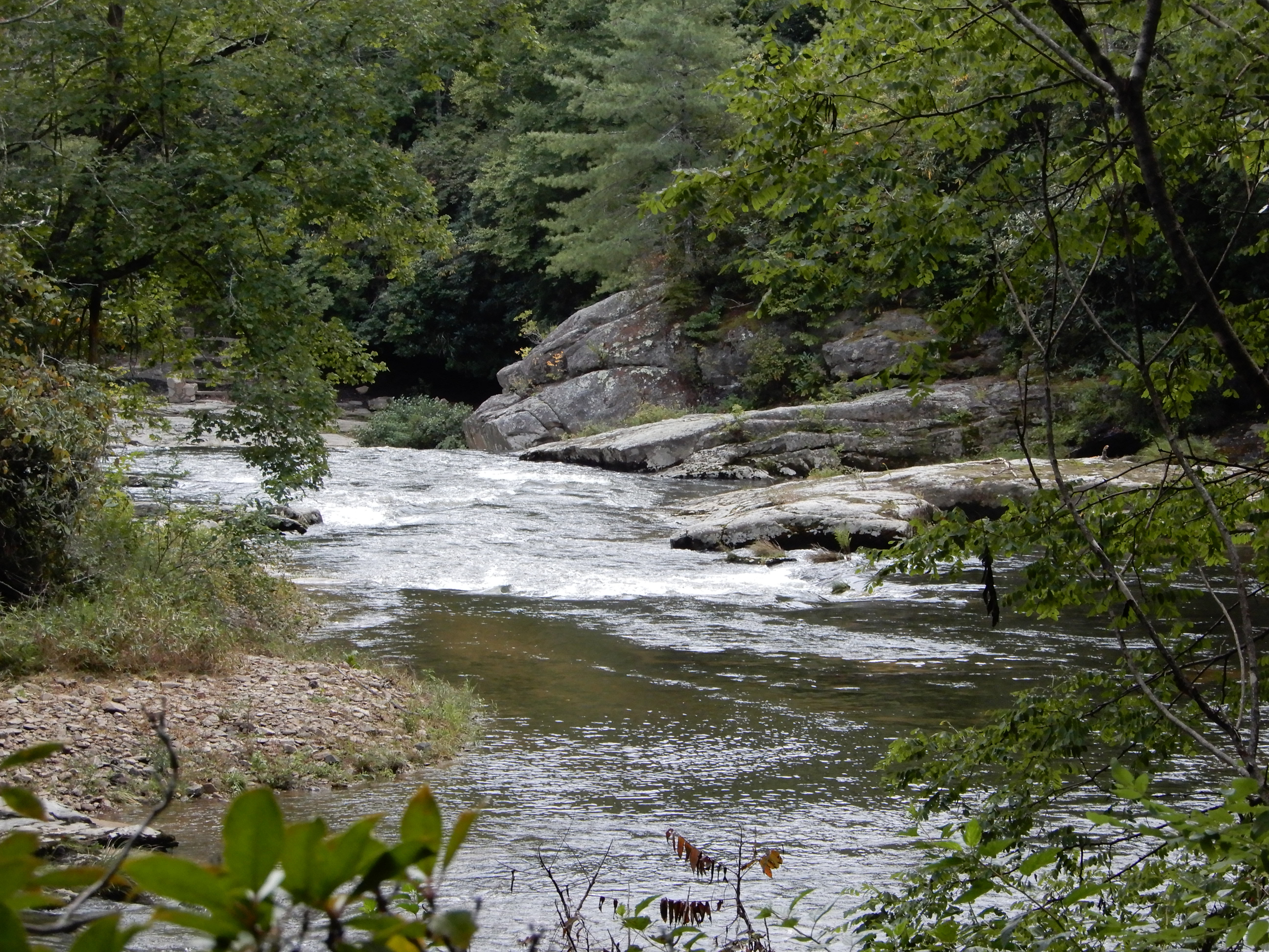
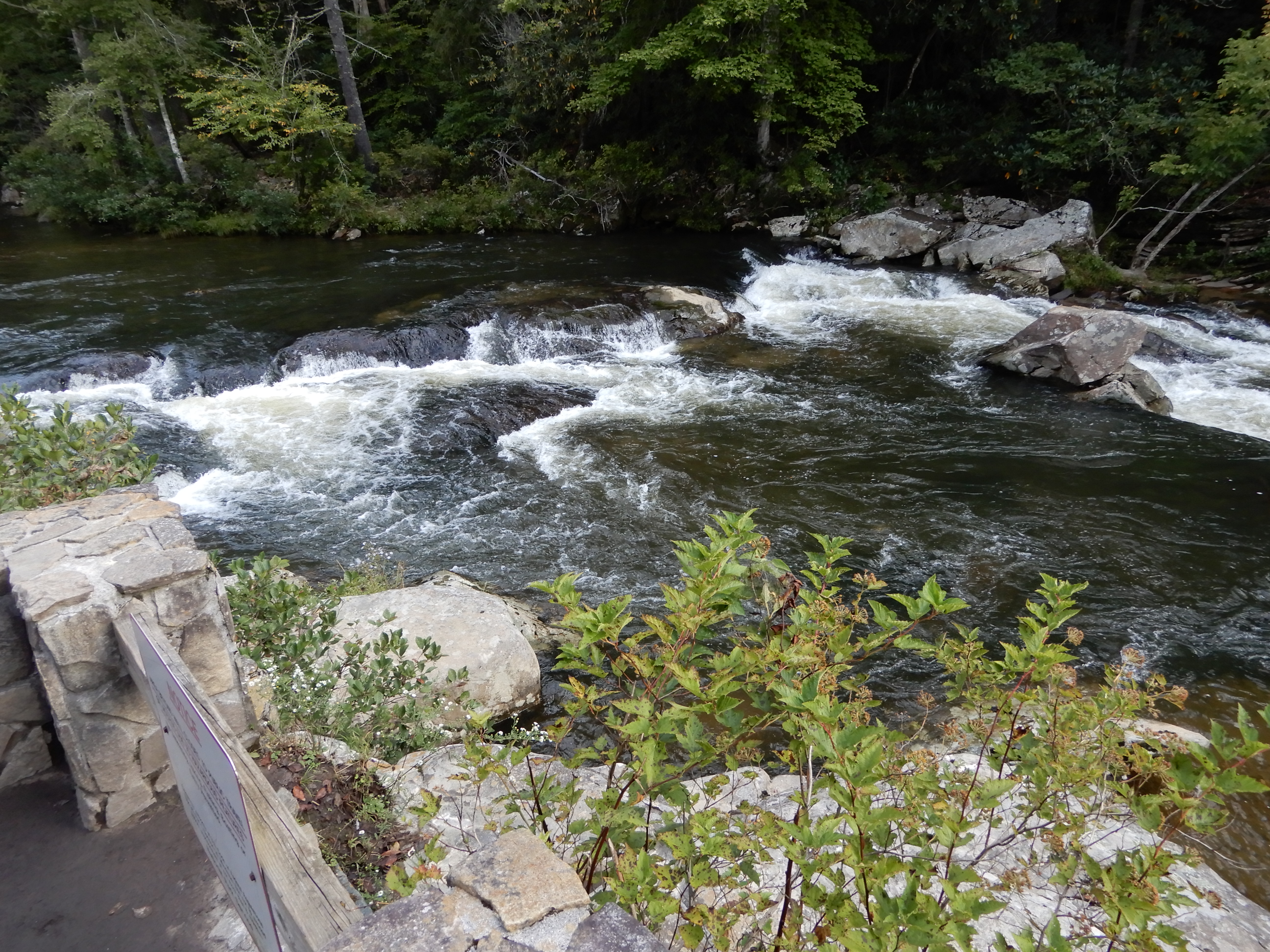
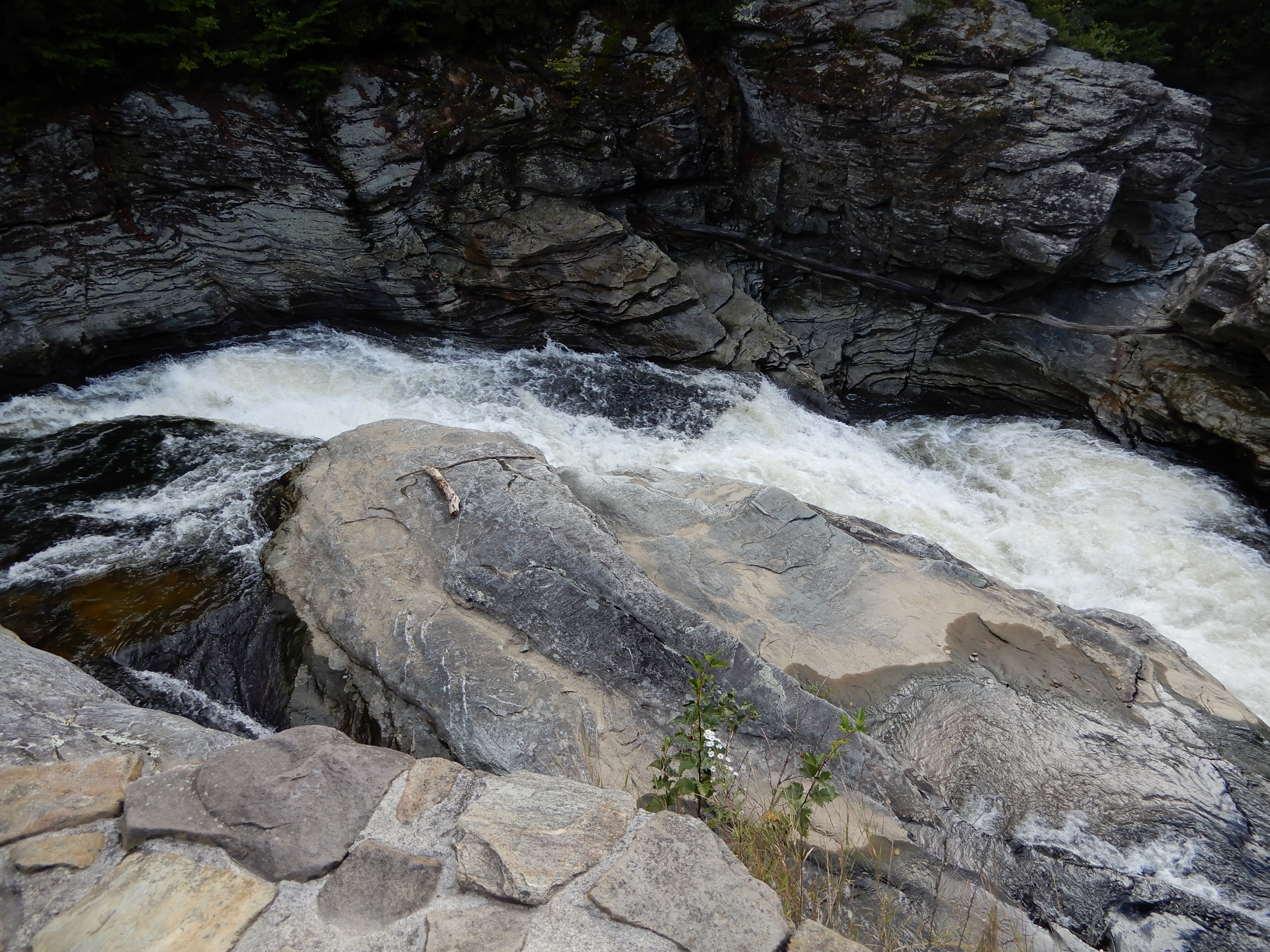
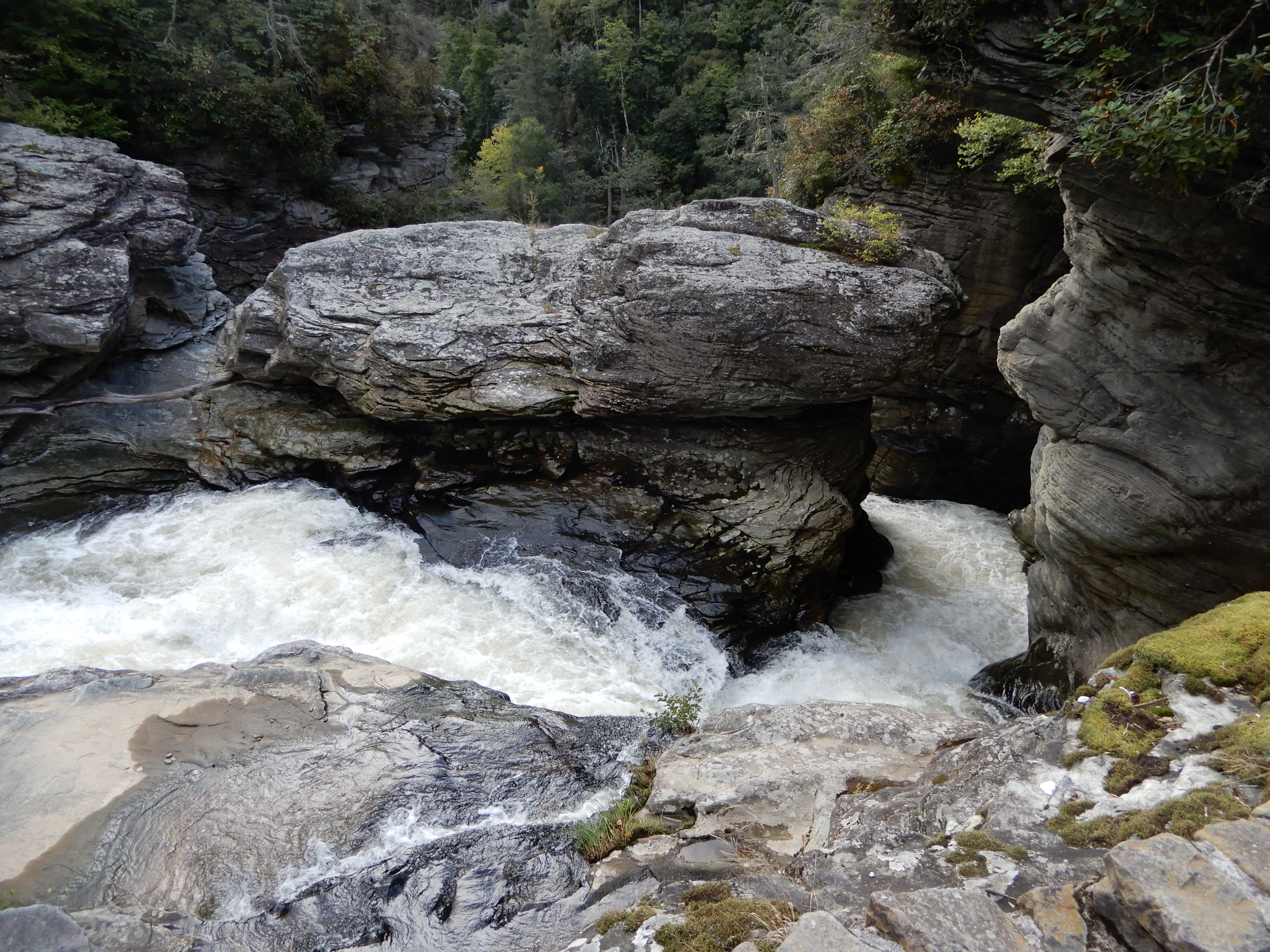
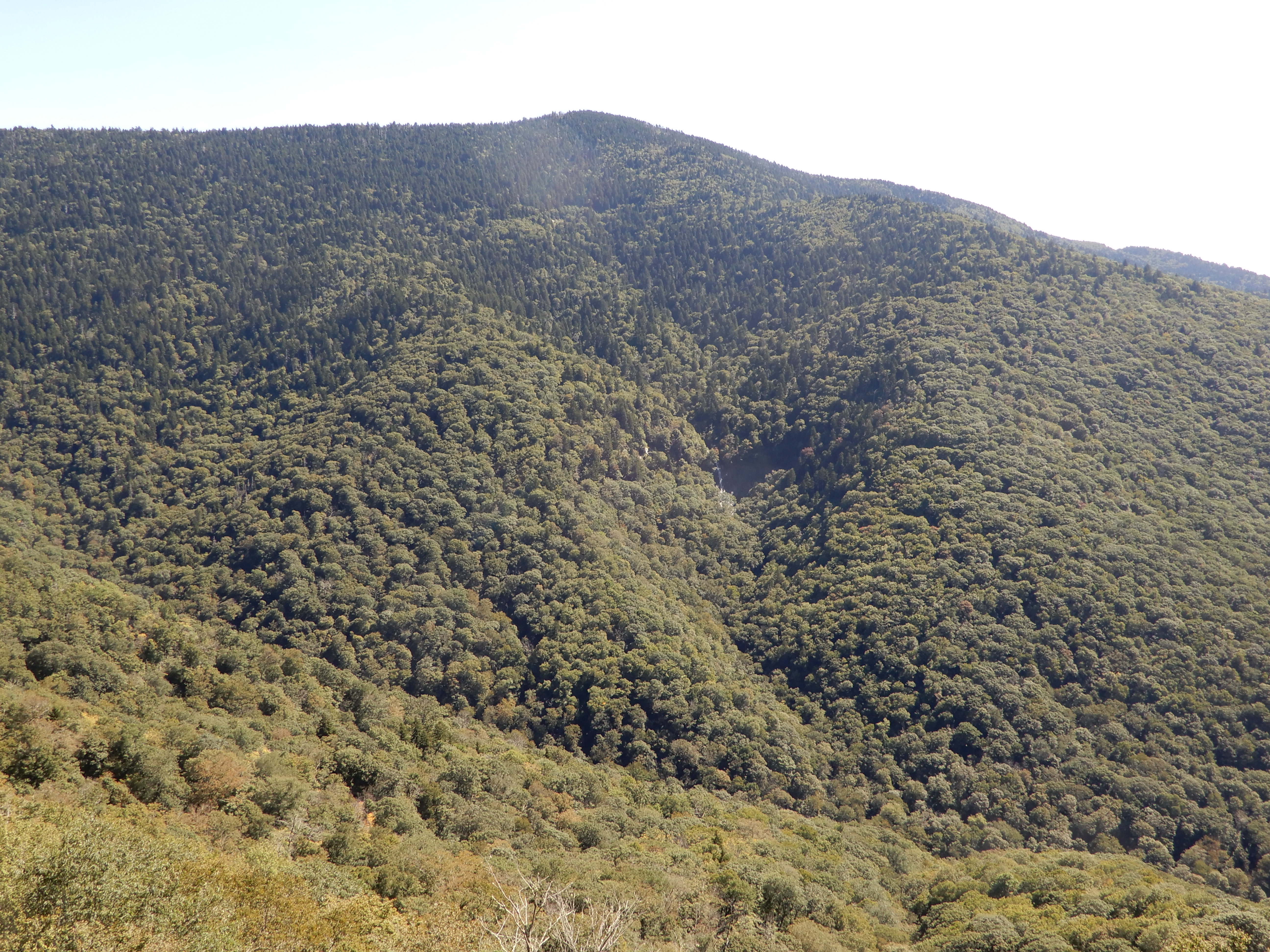
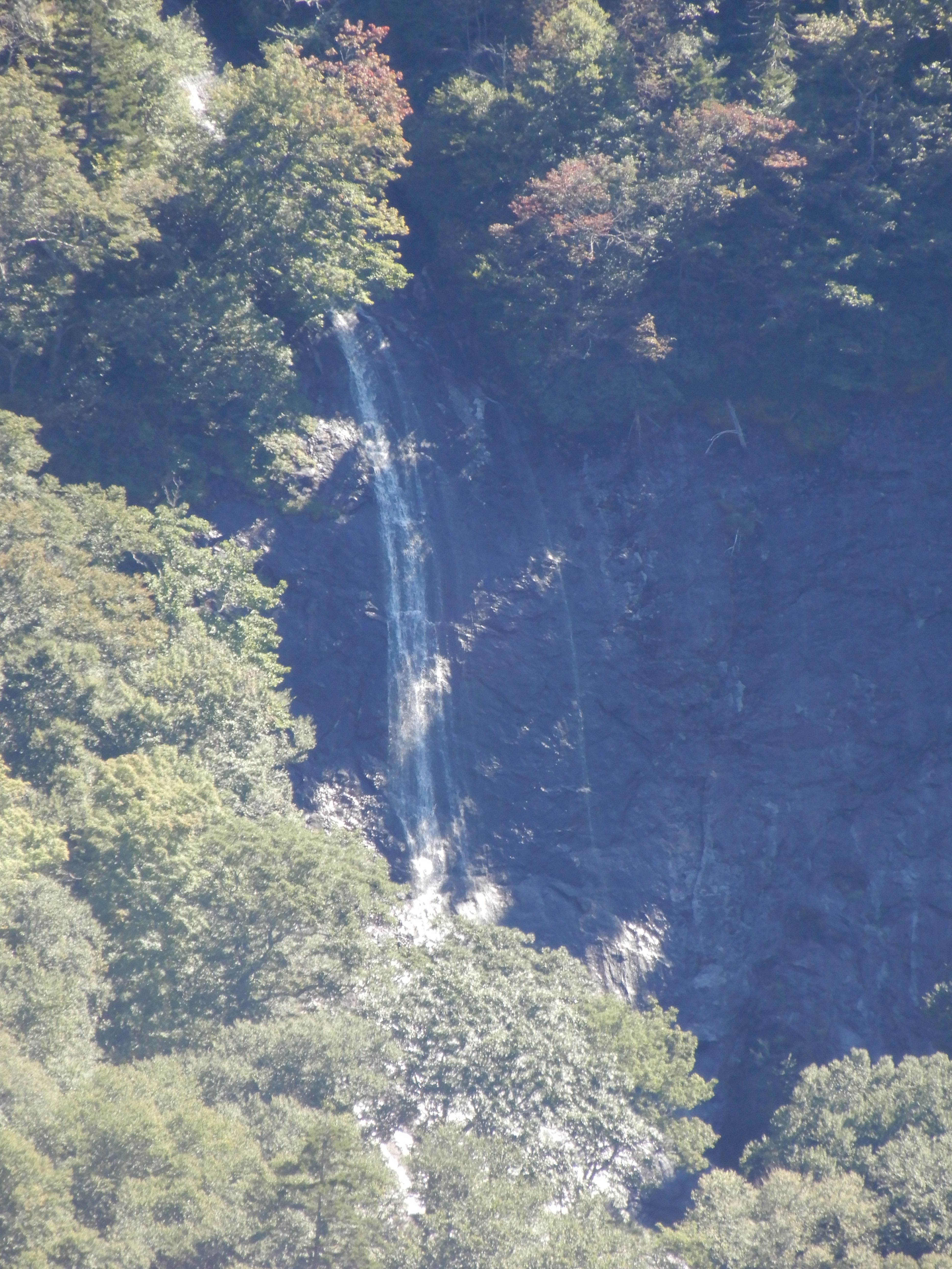
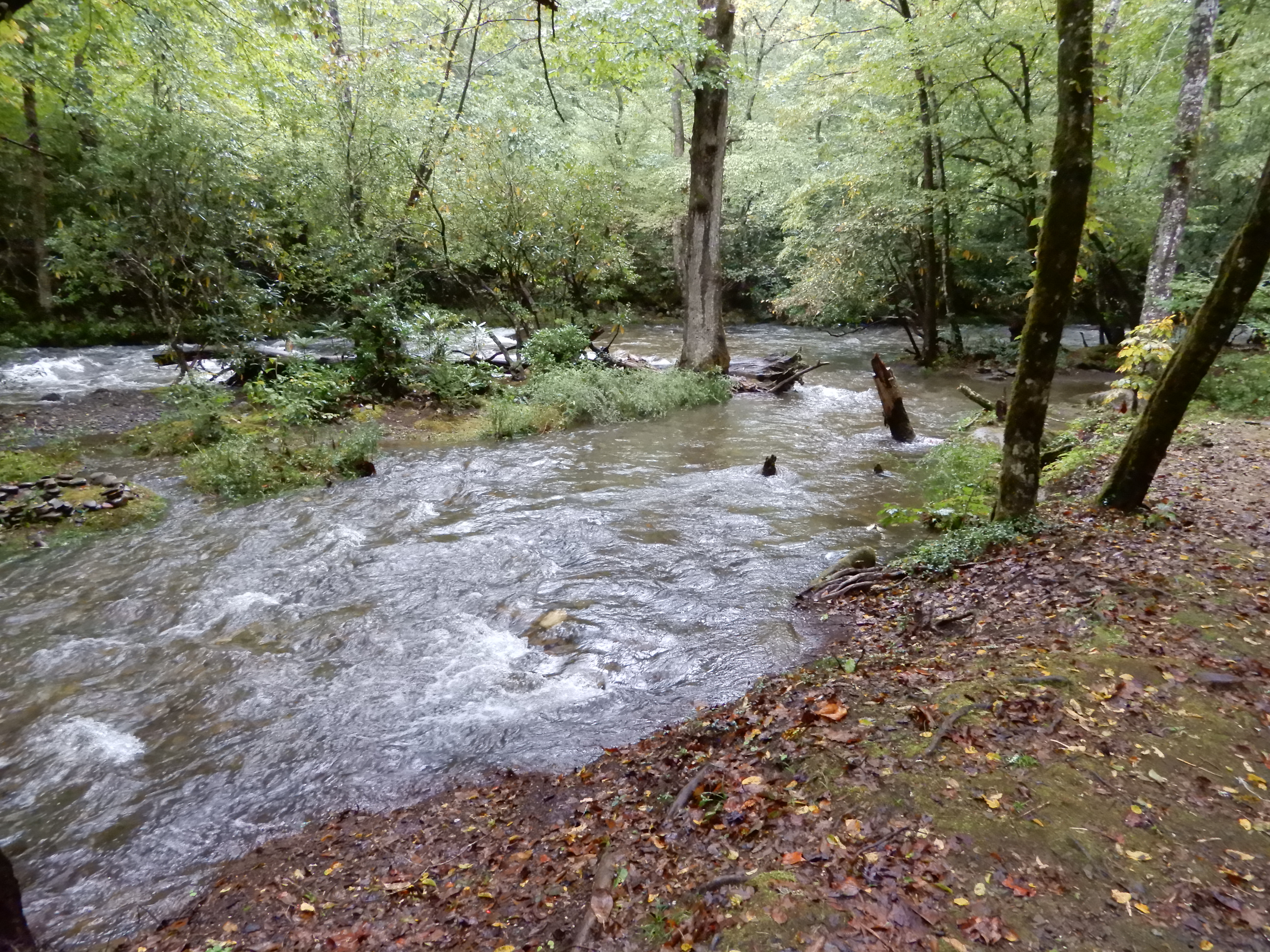
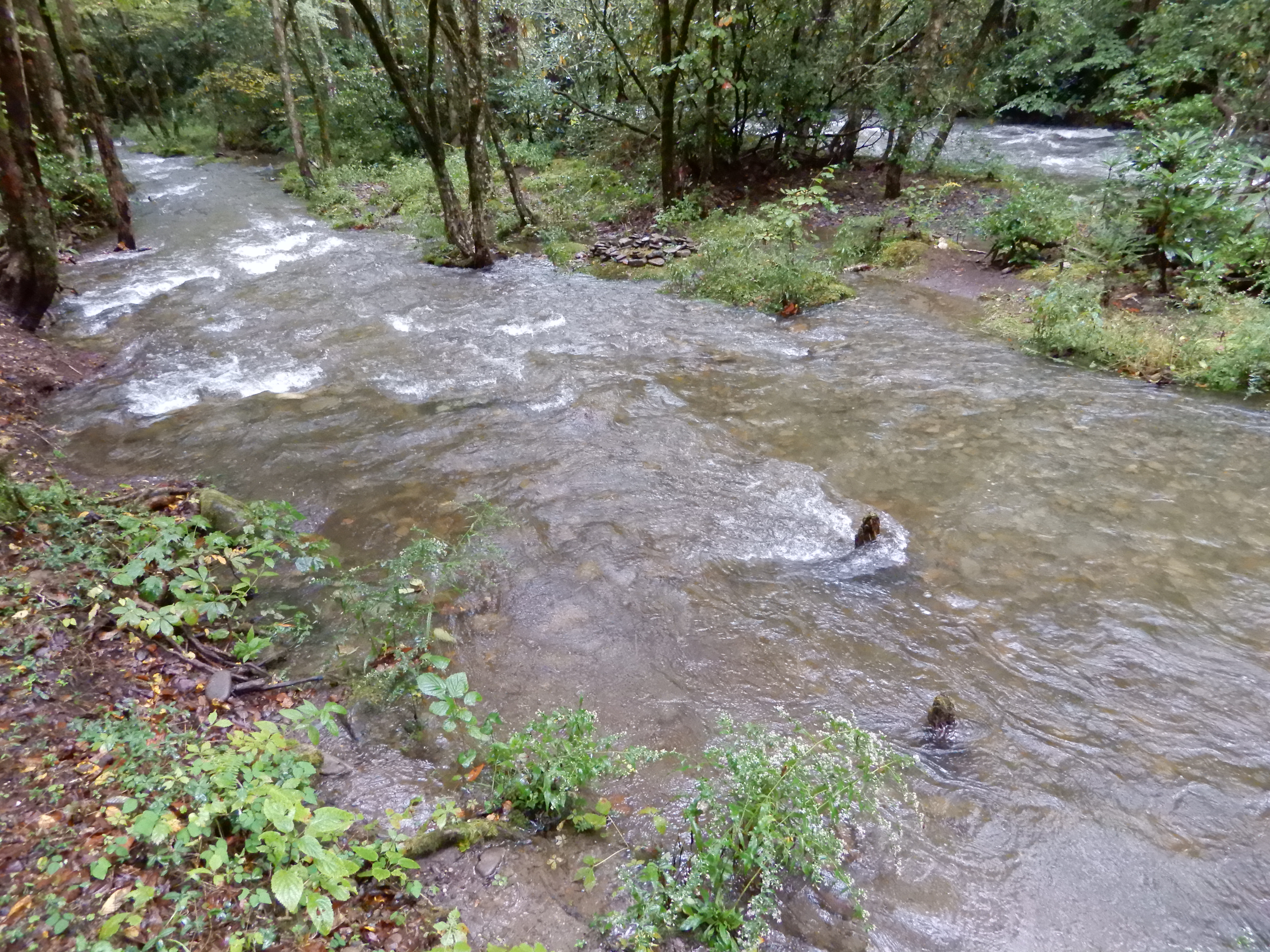
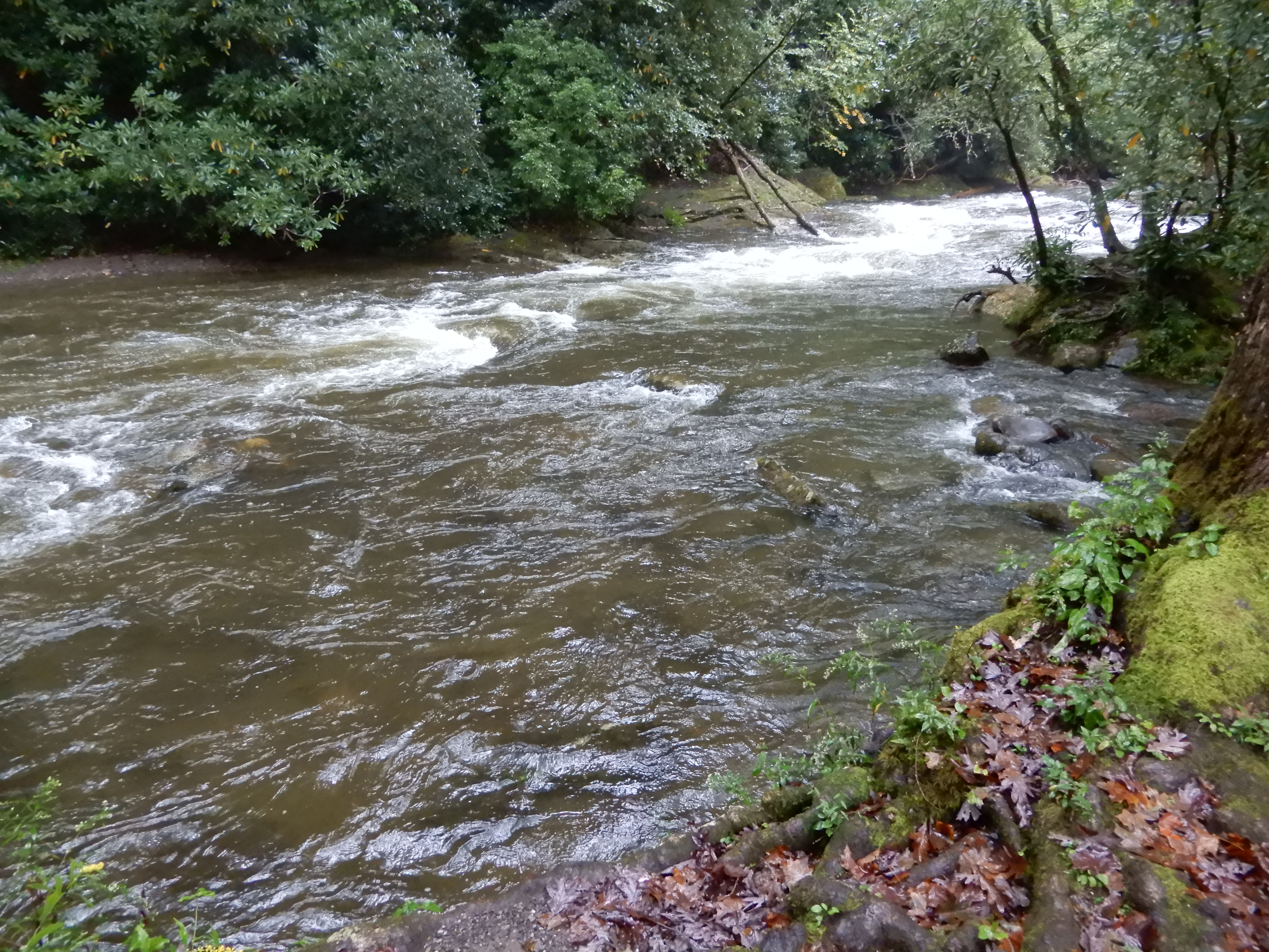
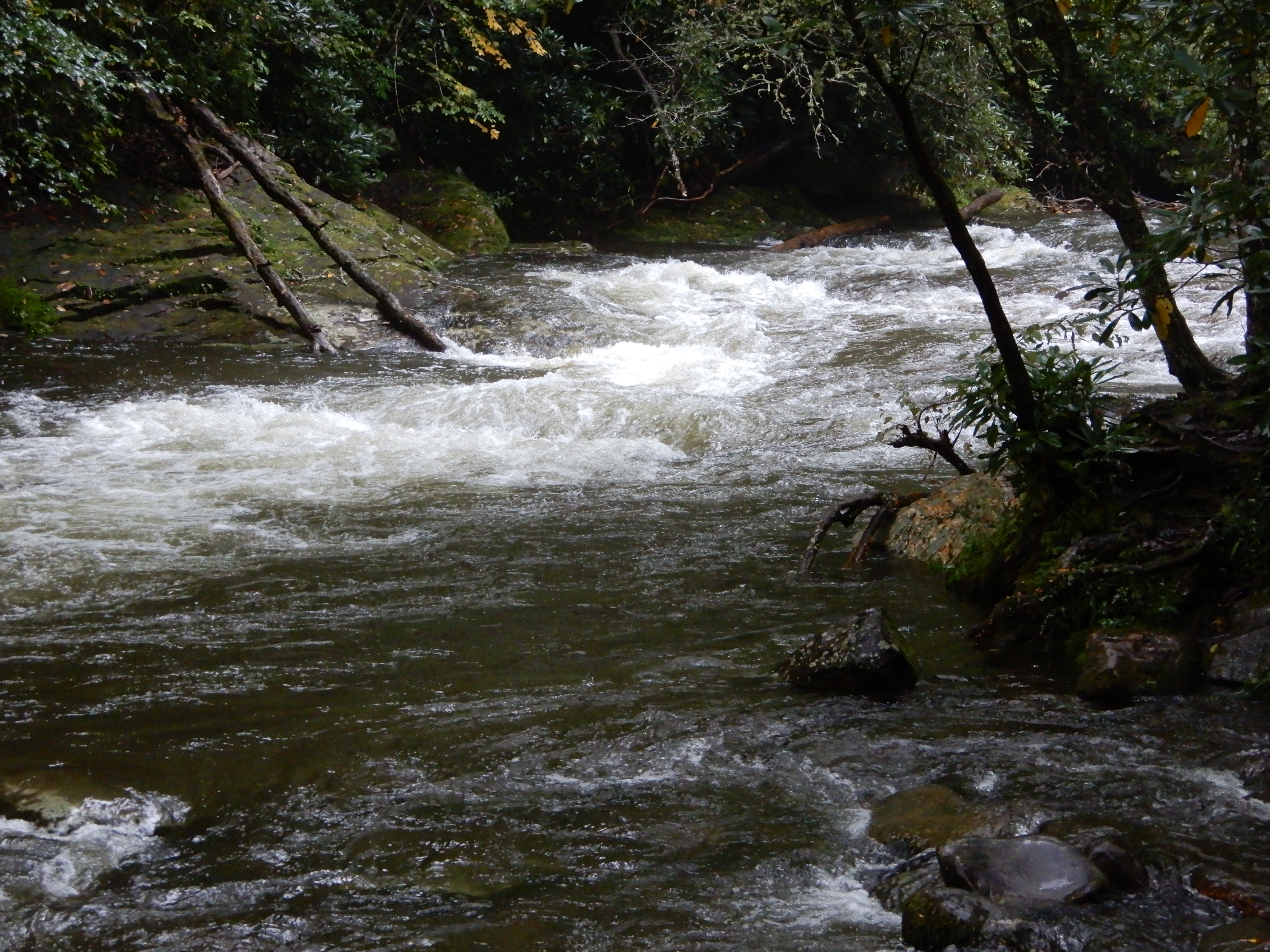
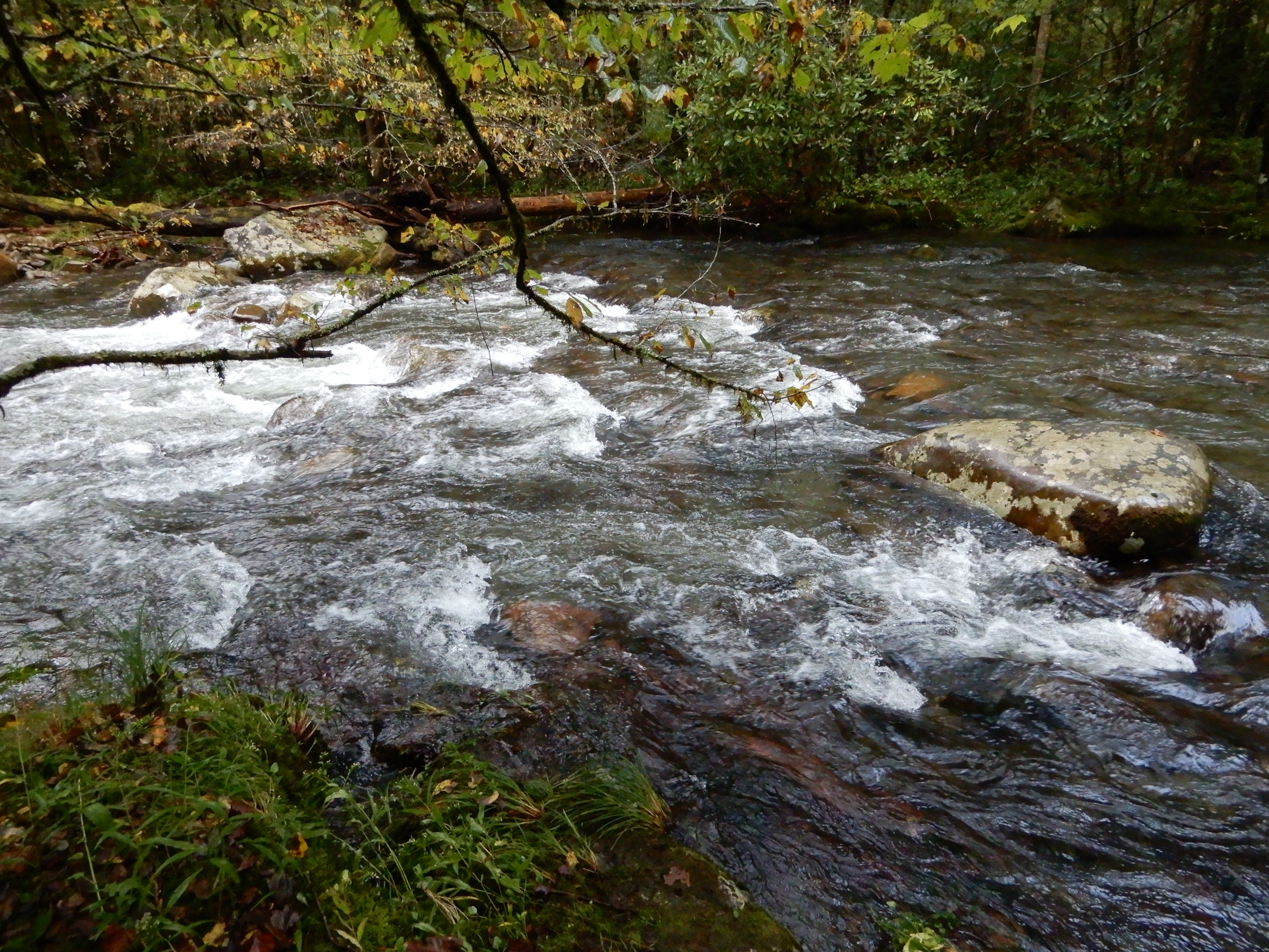
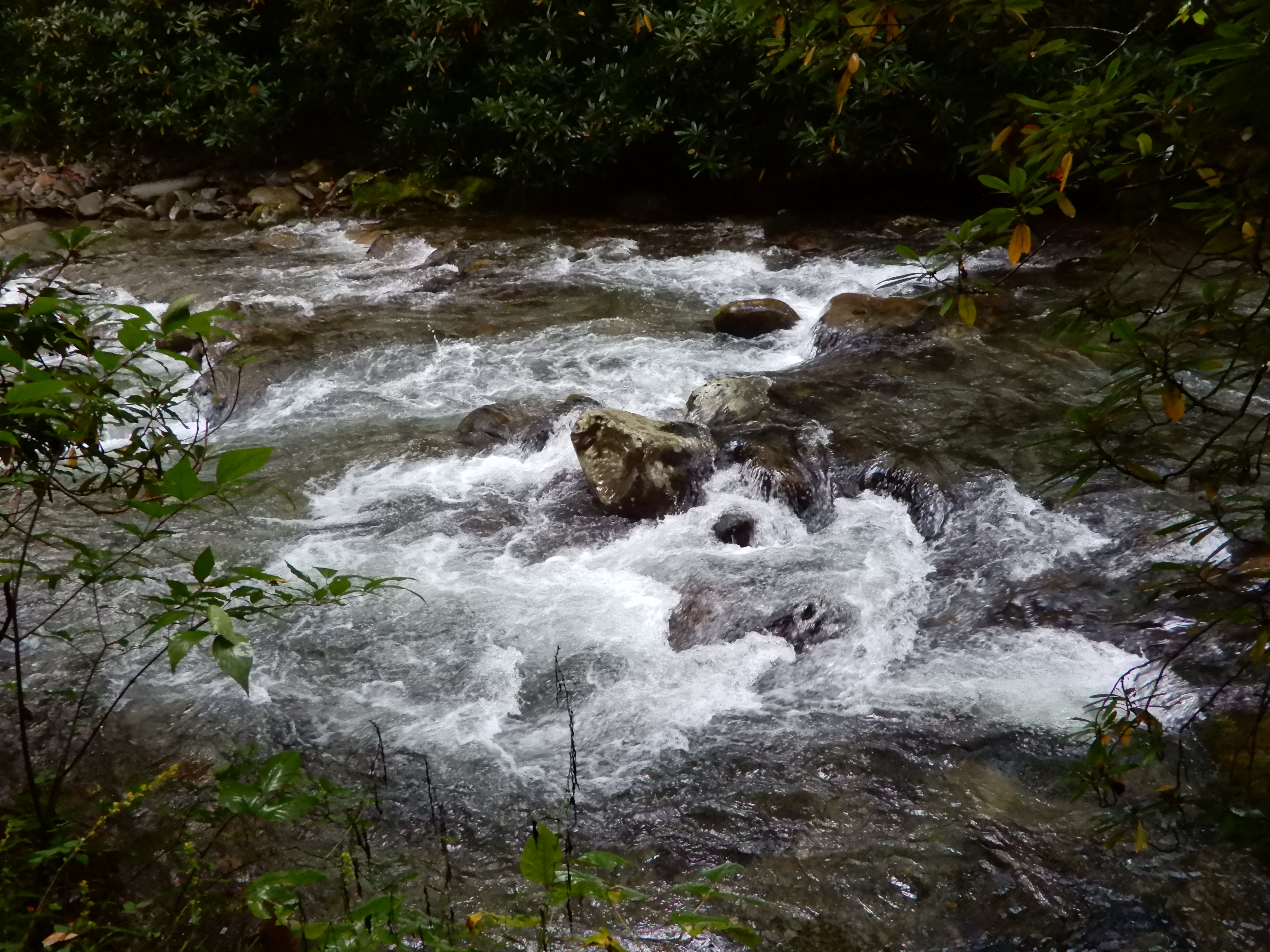
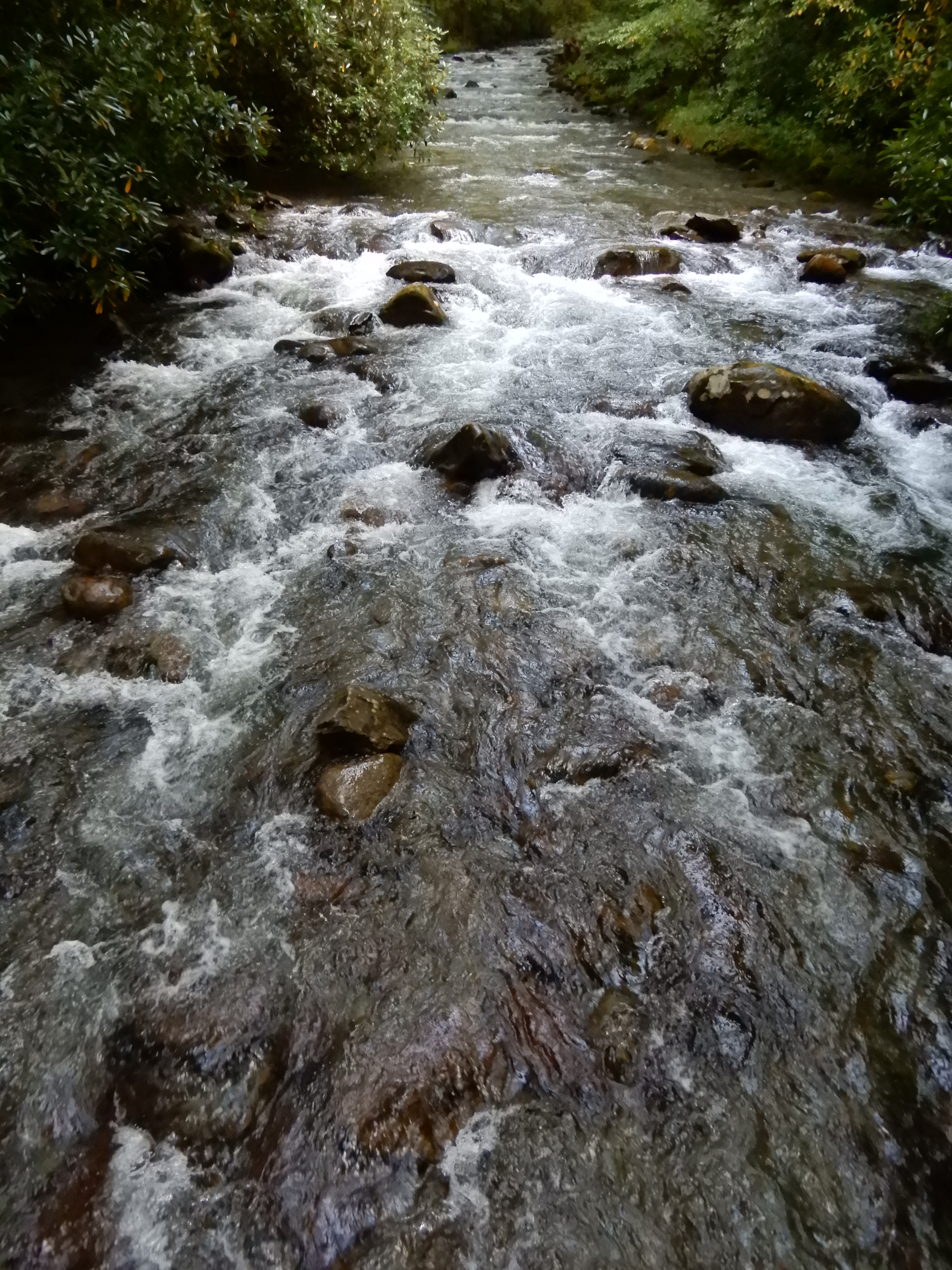
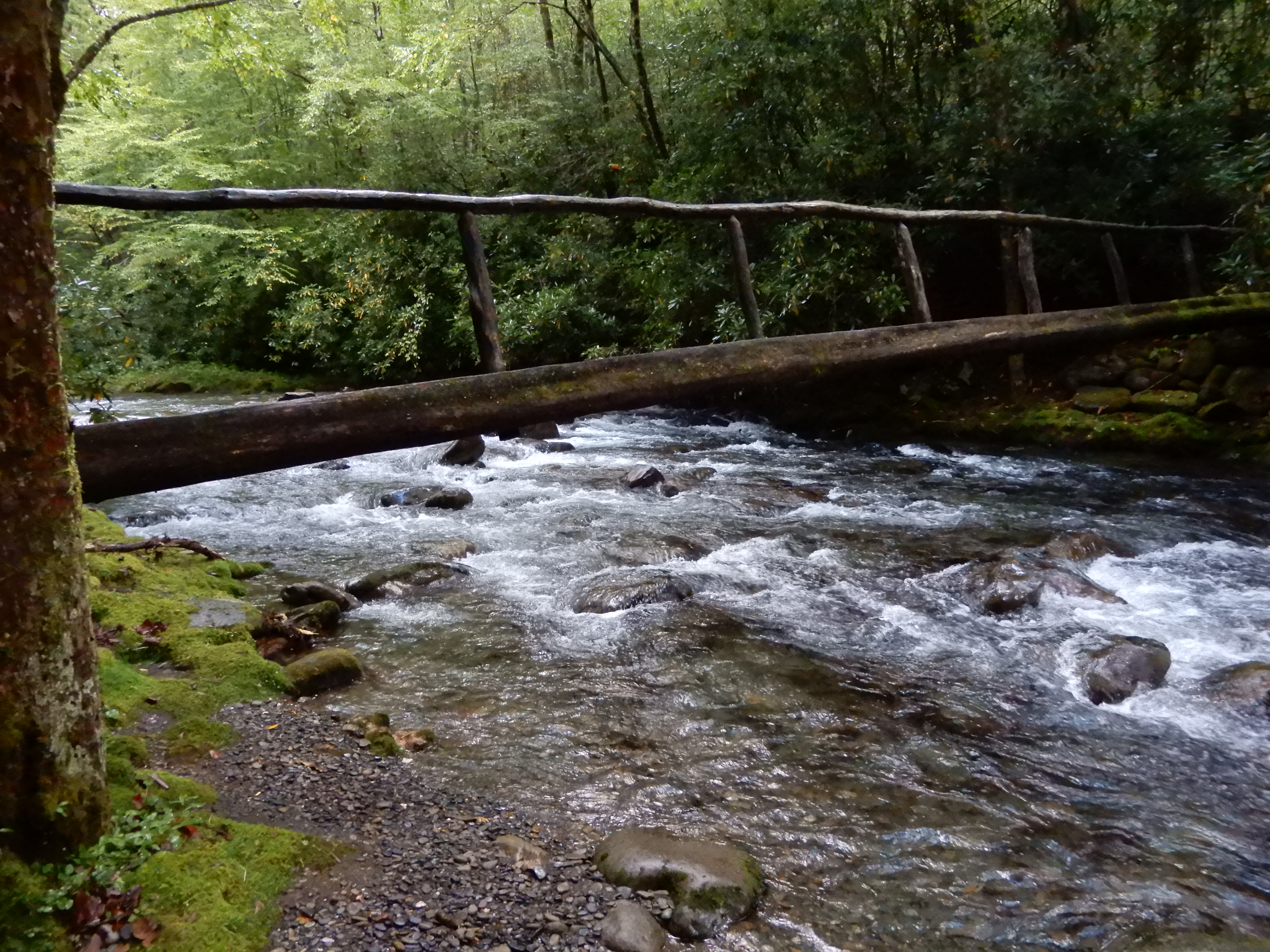
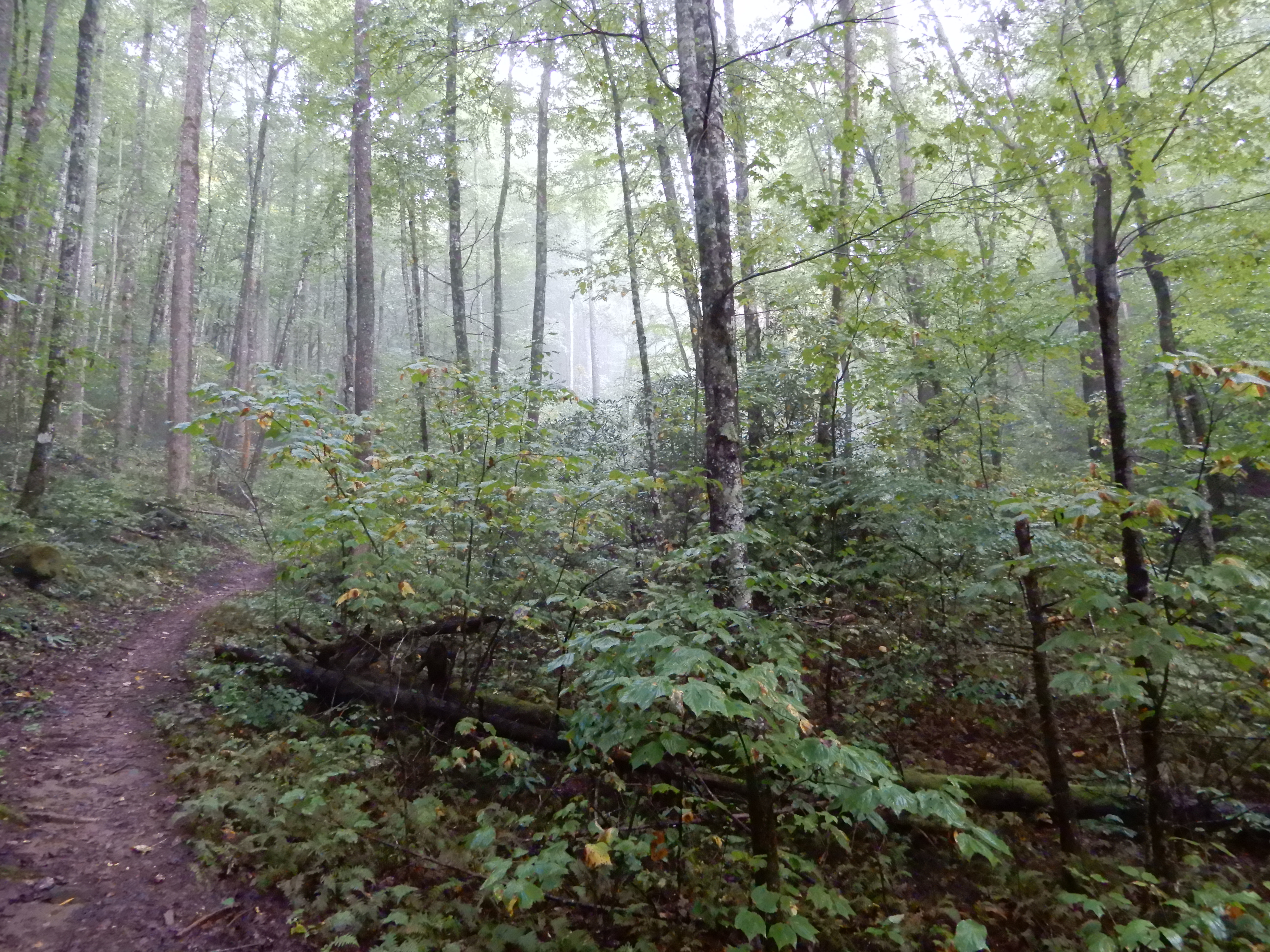
I hiked along the creek, which was raging like every other creek or river.


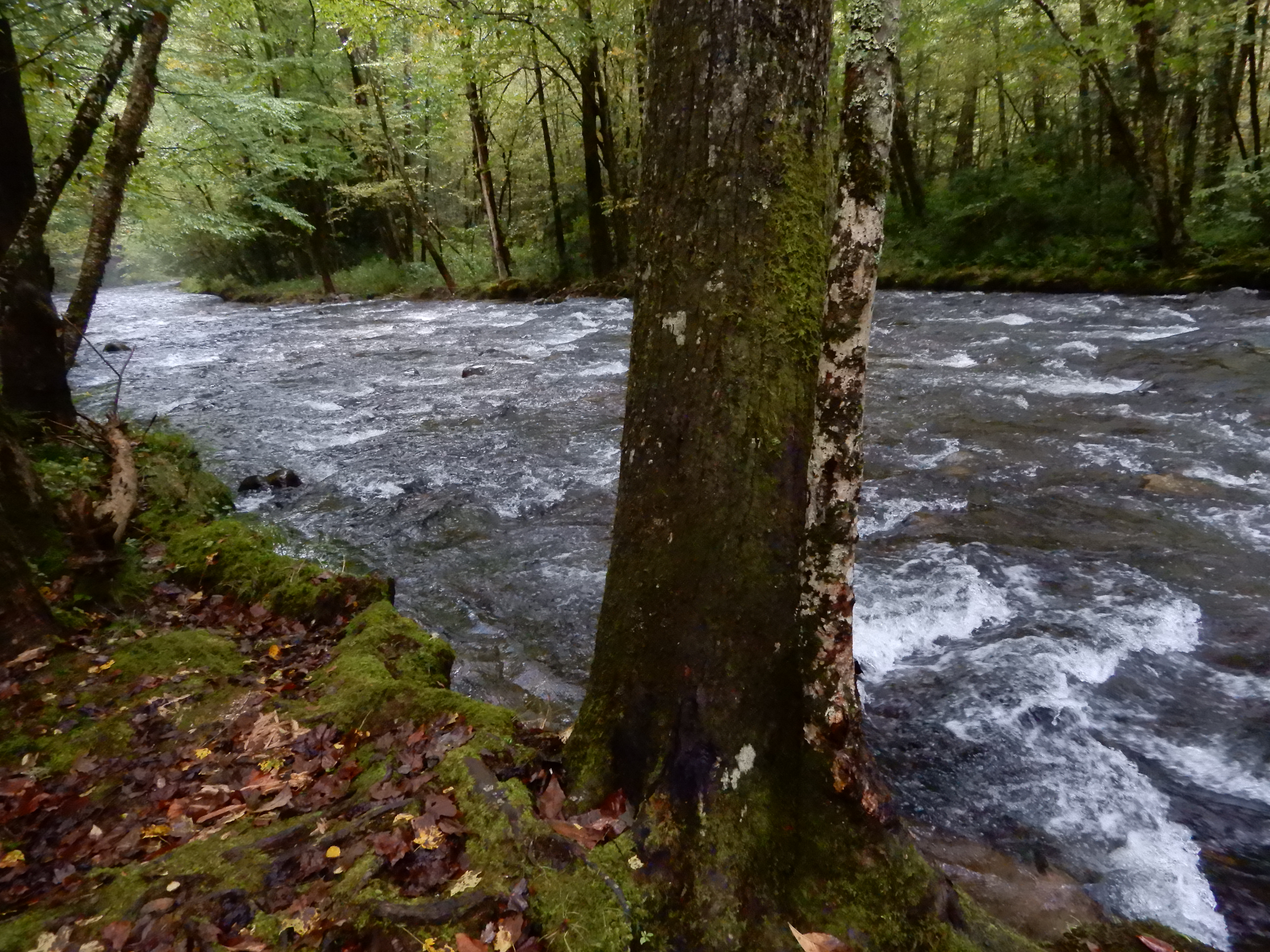
I crossed on a terrifying log bridge. It was high, and narrow, and rain-slick, and covered with slippery moss, with only a rickety limb railing.


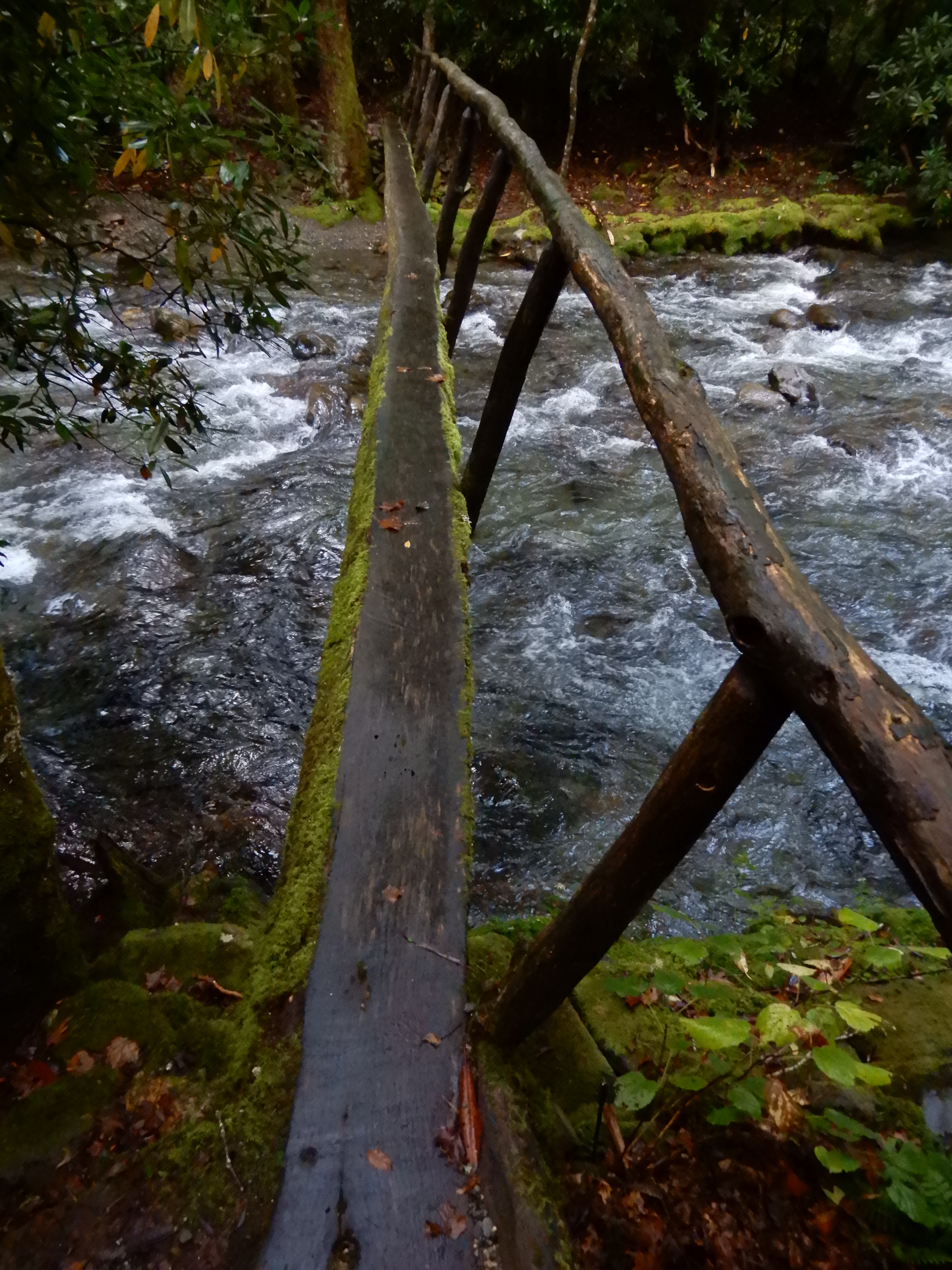
I took my time. Stopping to take pictures.


After getting off on the other side, I looked back.


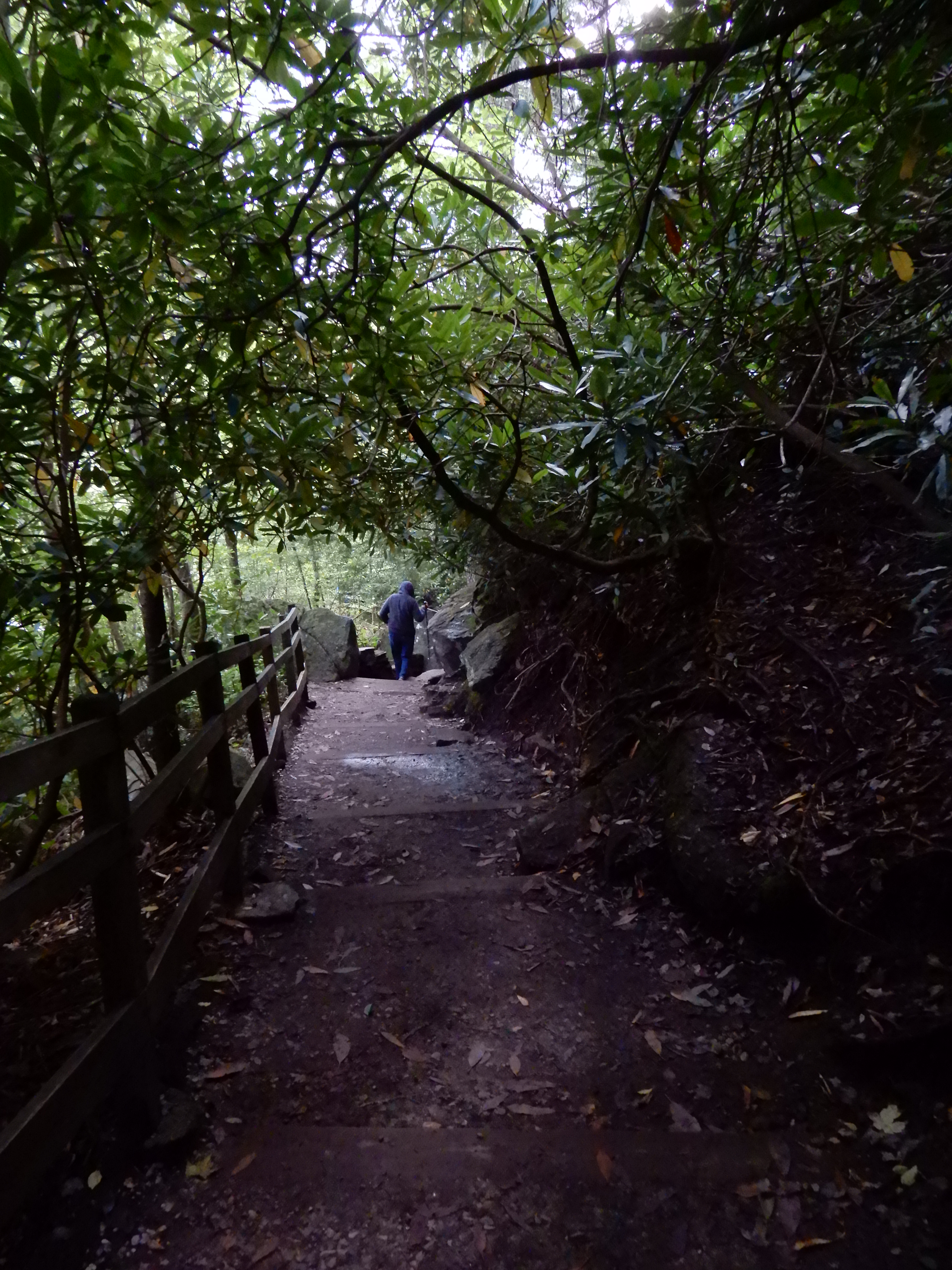
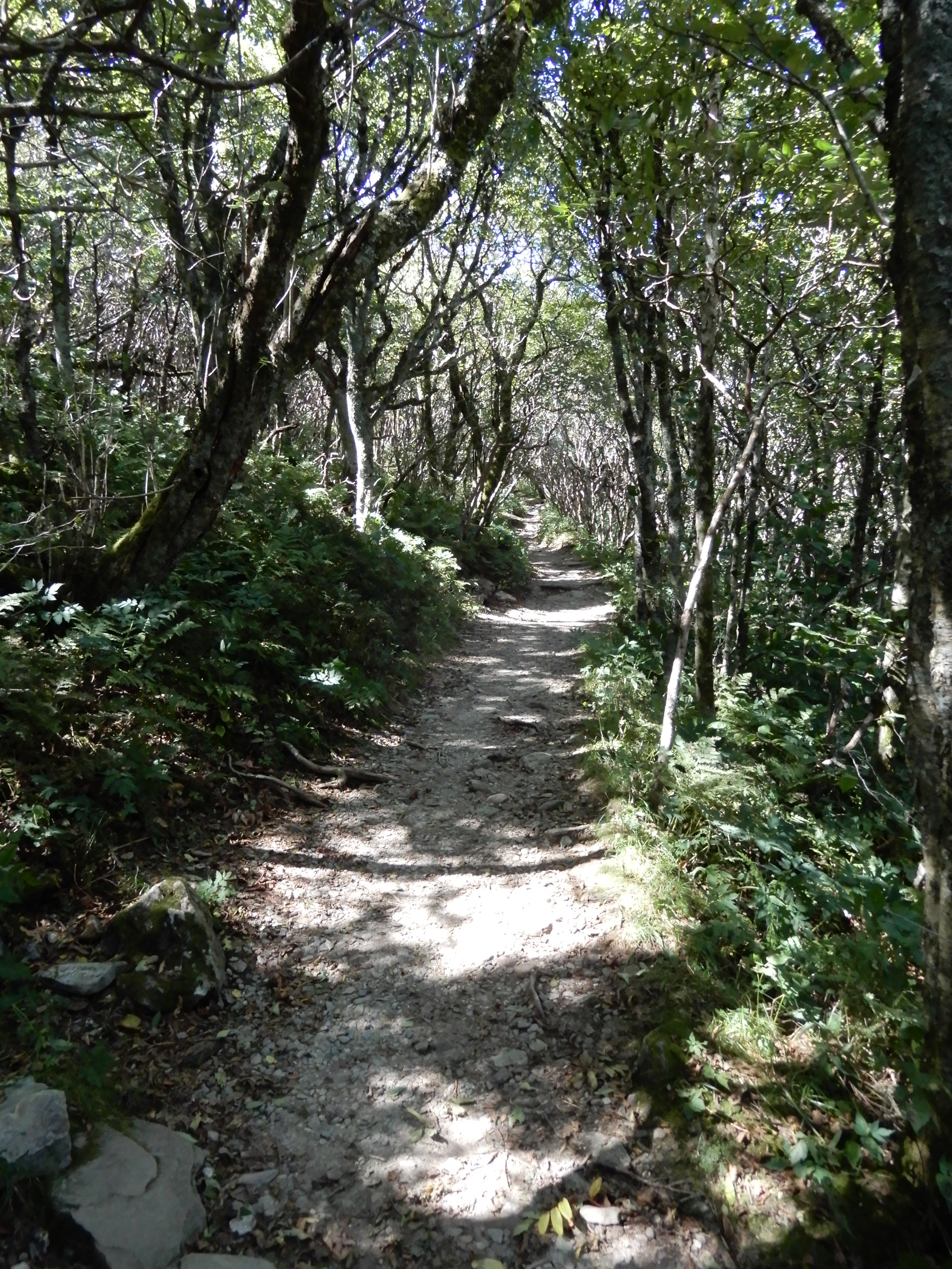
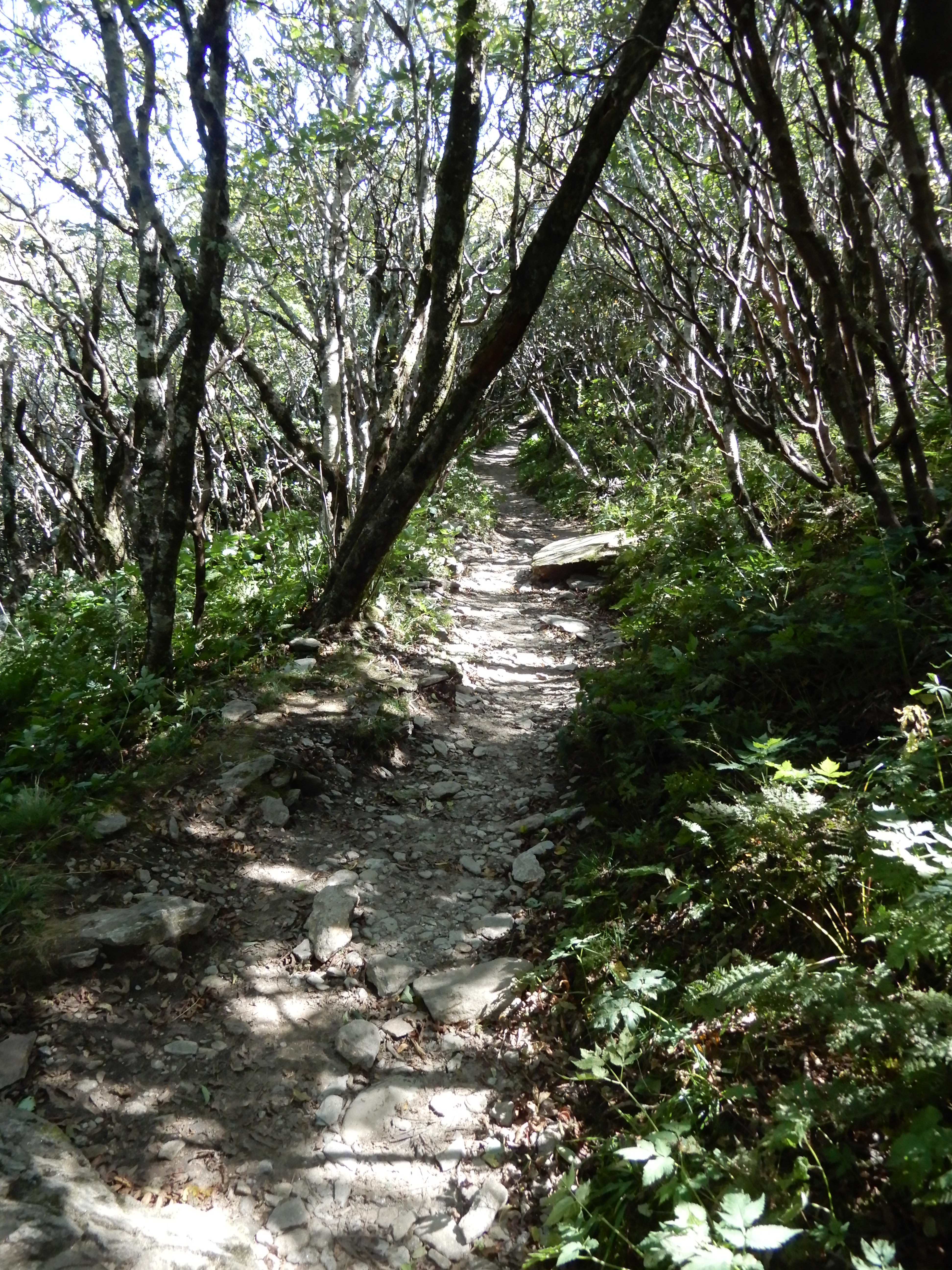
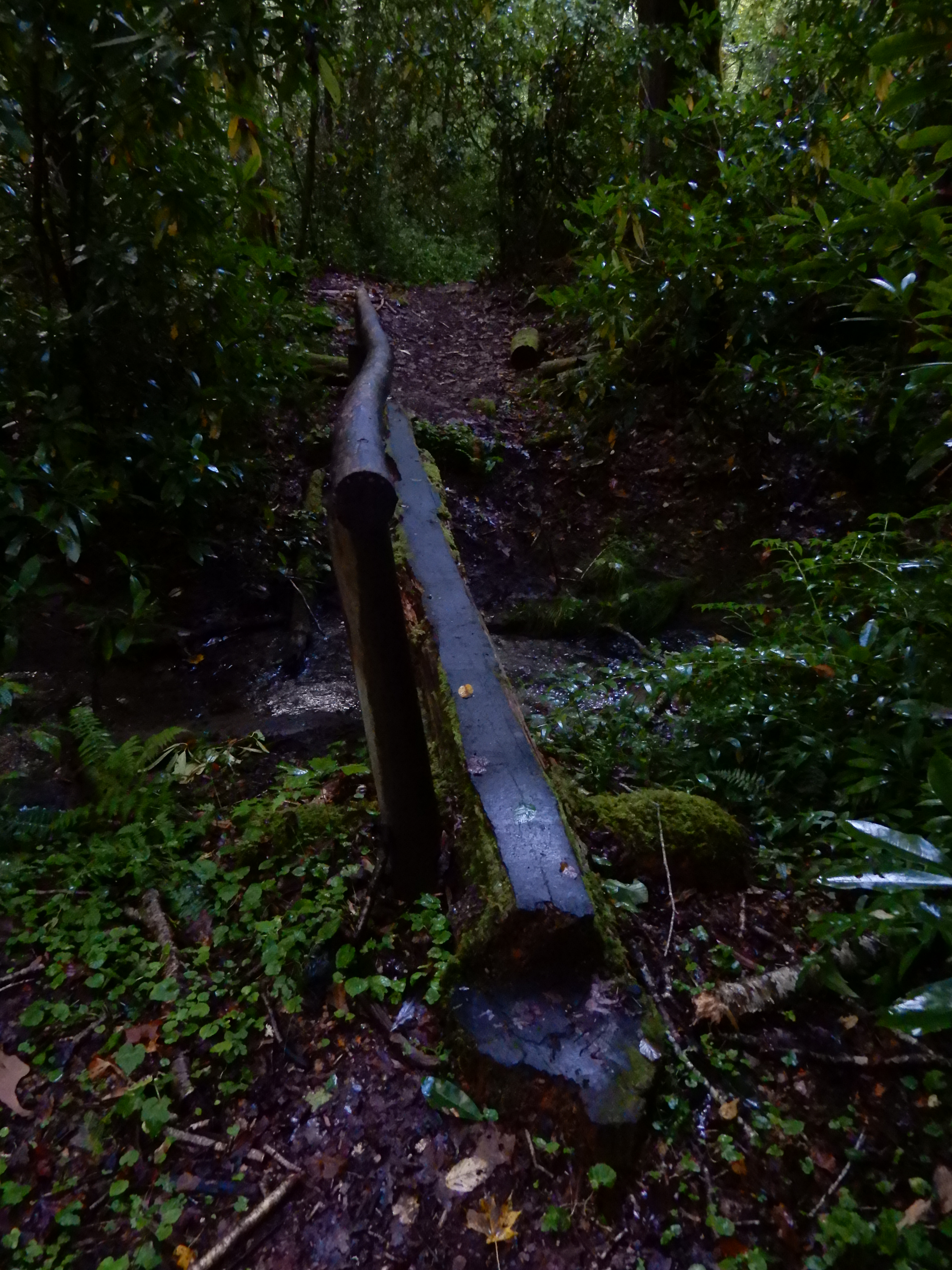
Continuing on the trail, I quickly came upon another log footbridge, only it wasn’t nearly as disturbing.


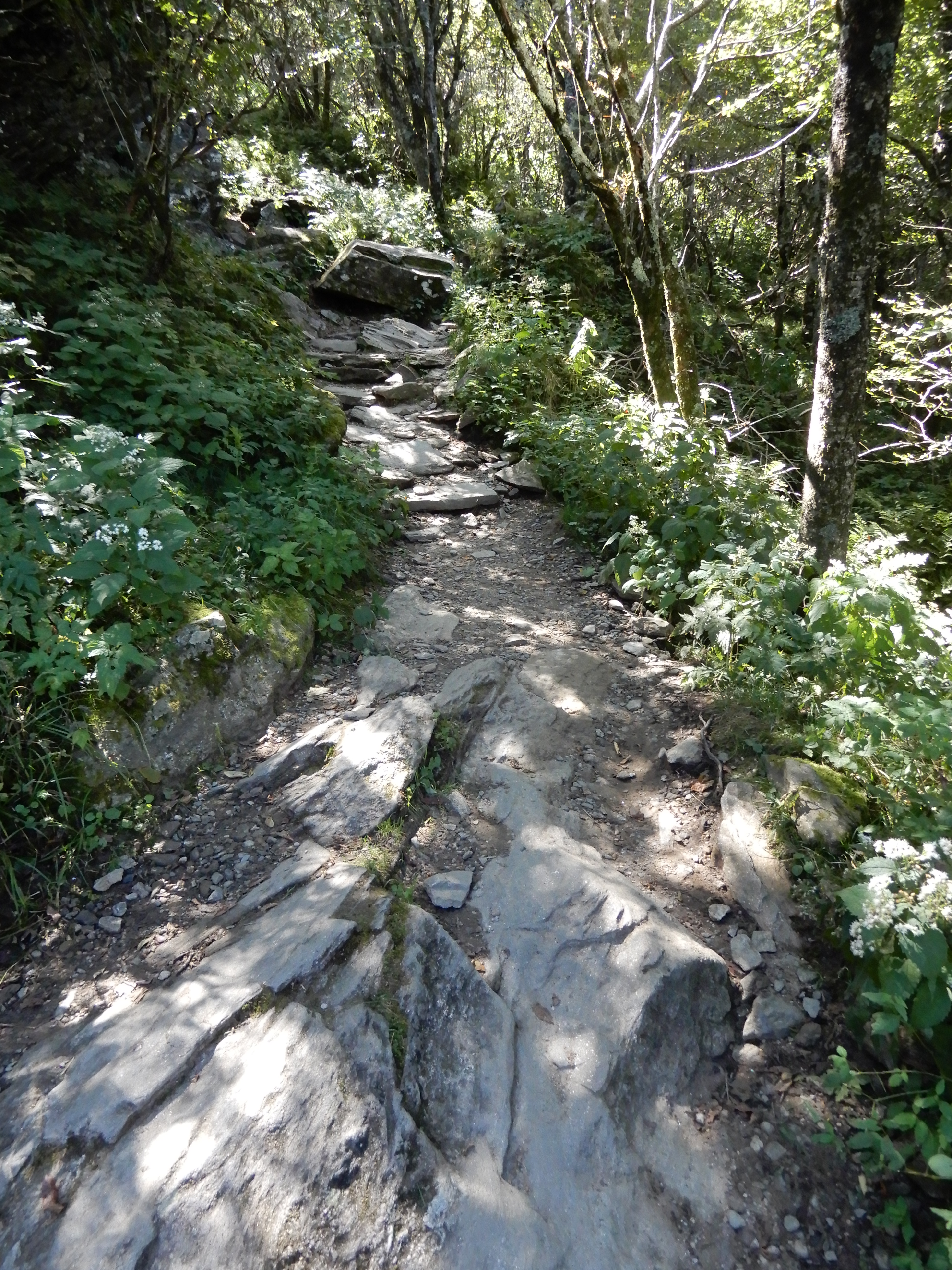
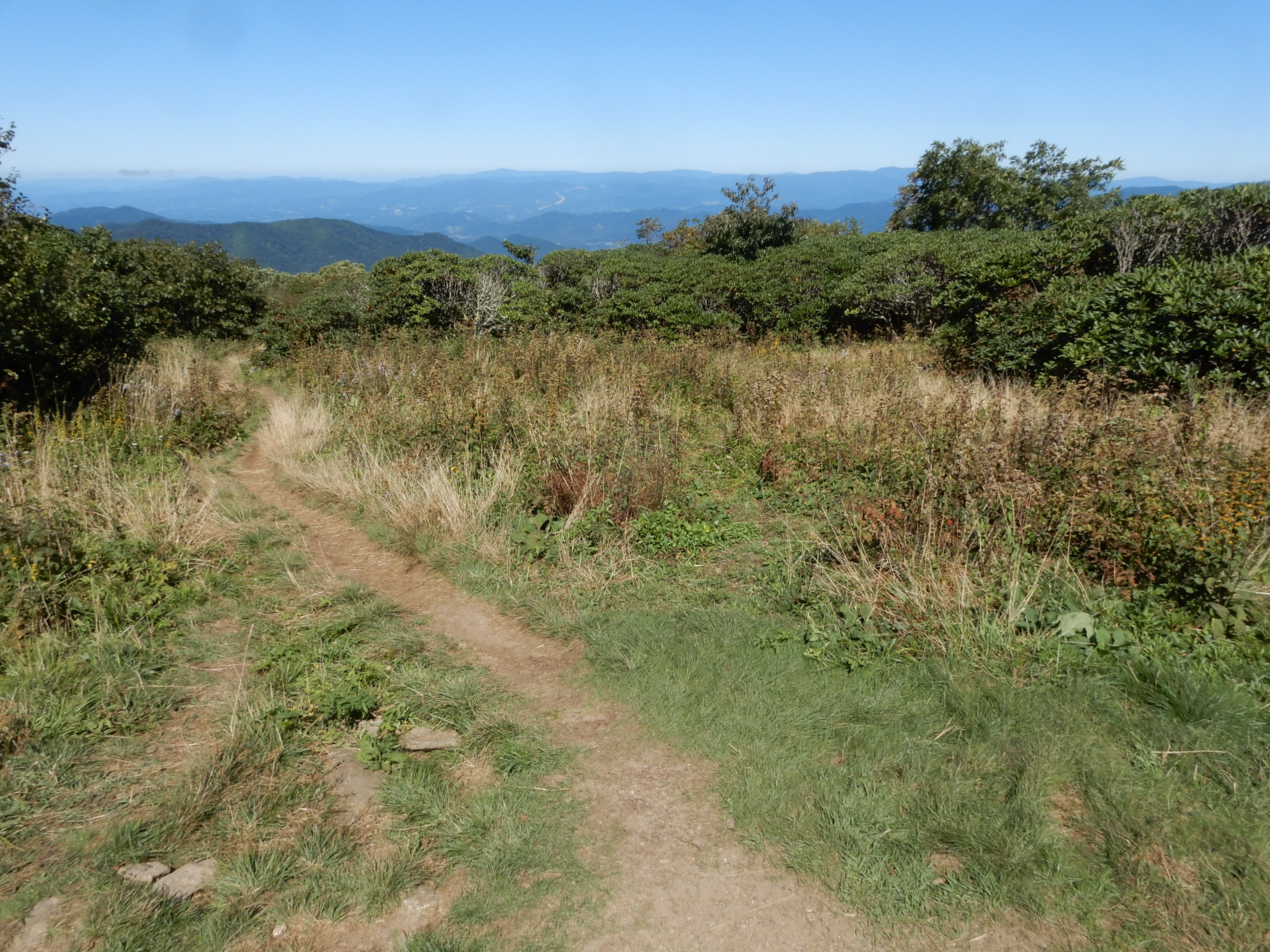
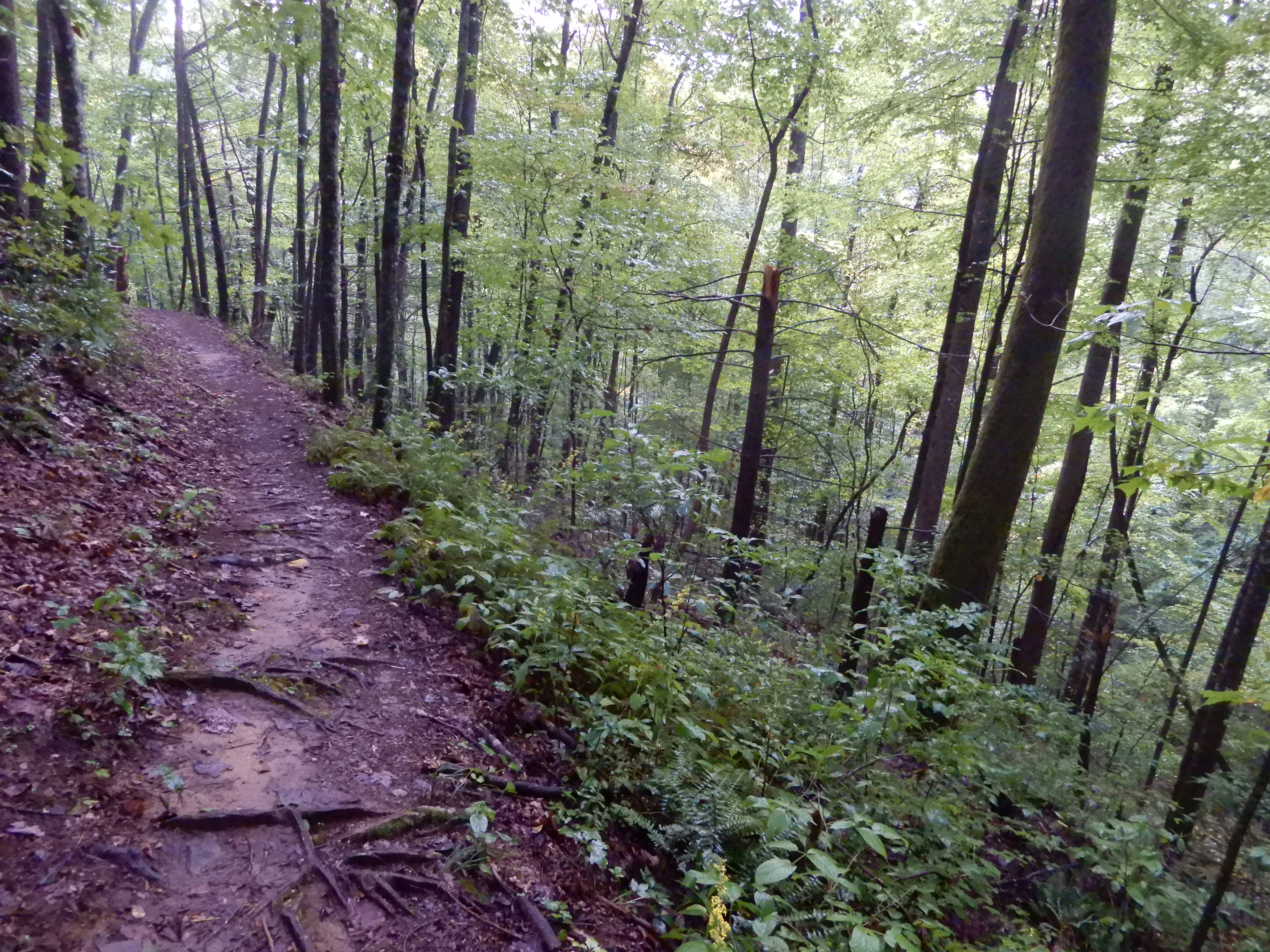
The trail continued up a mountain for a mile or so.


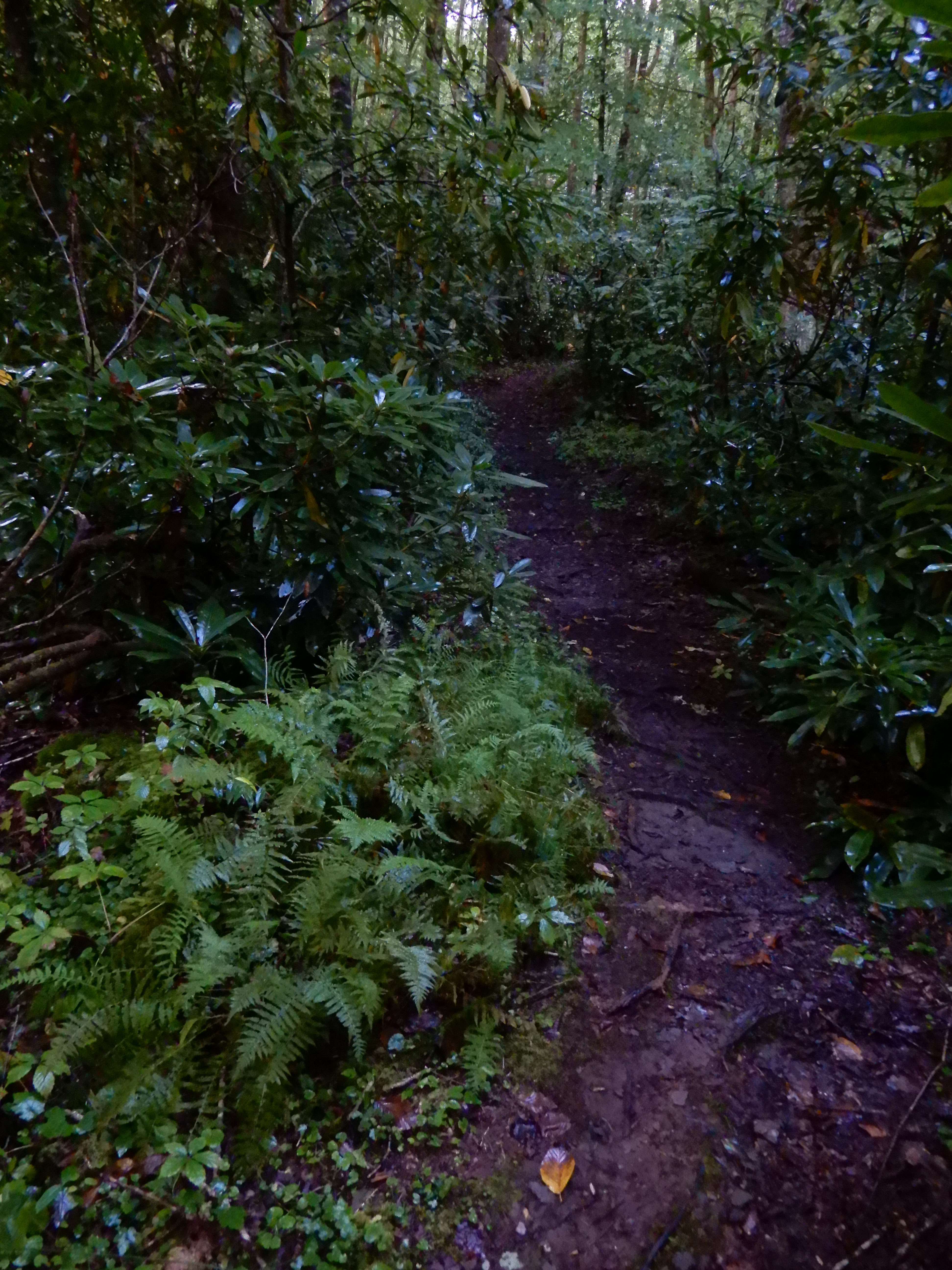
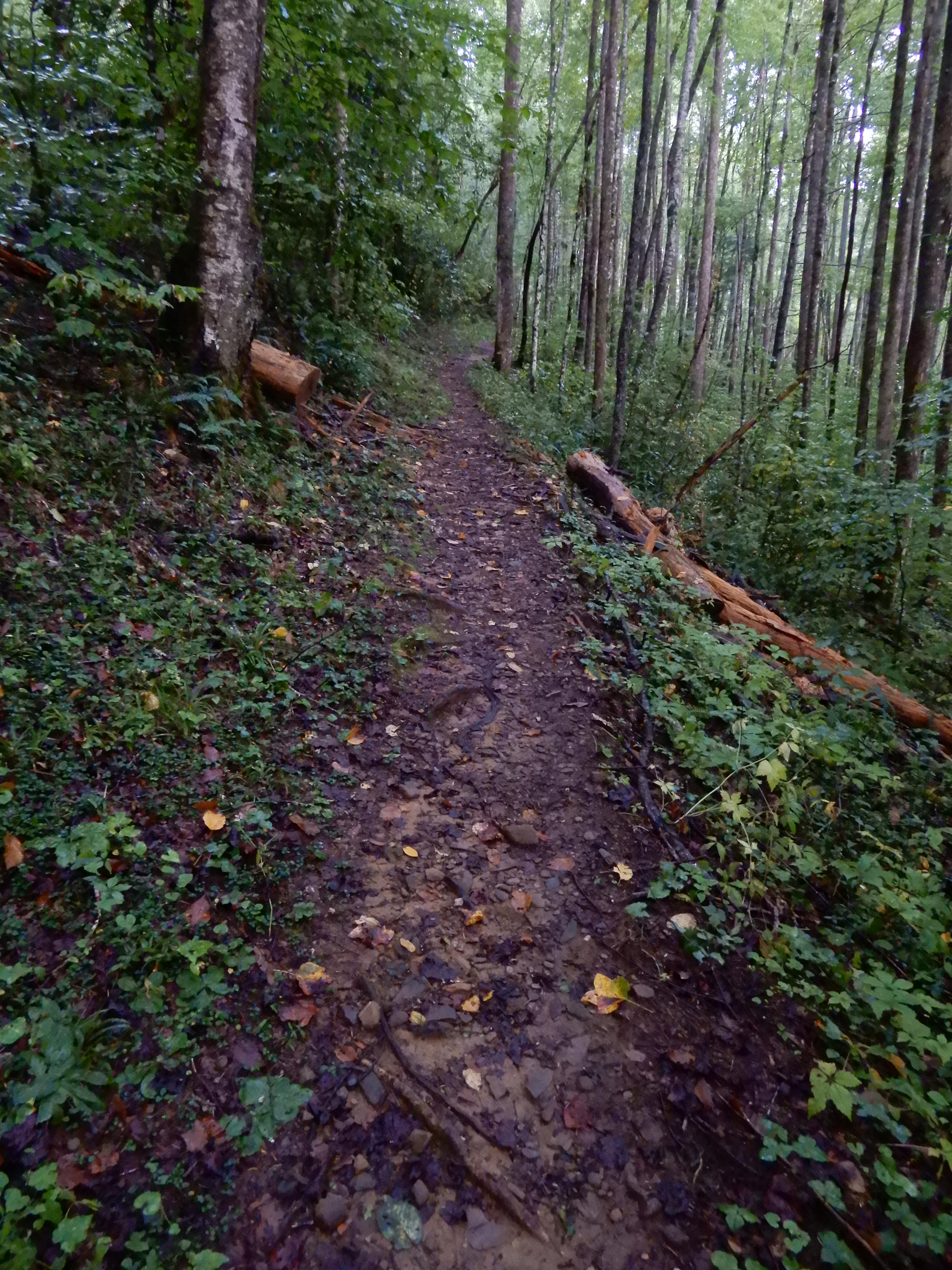
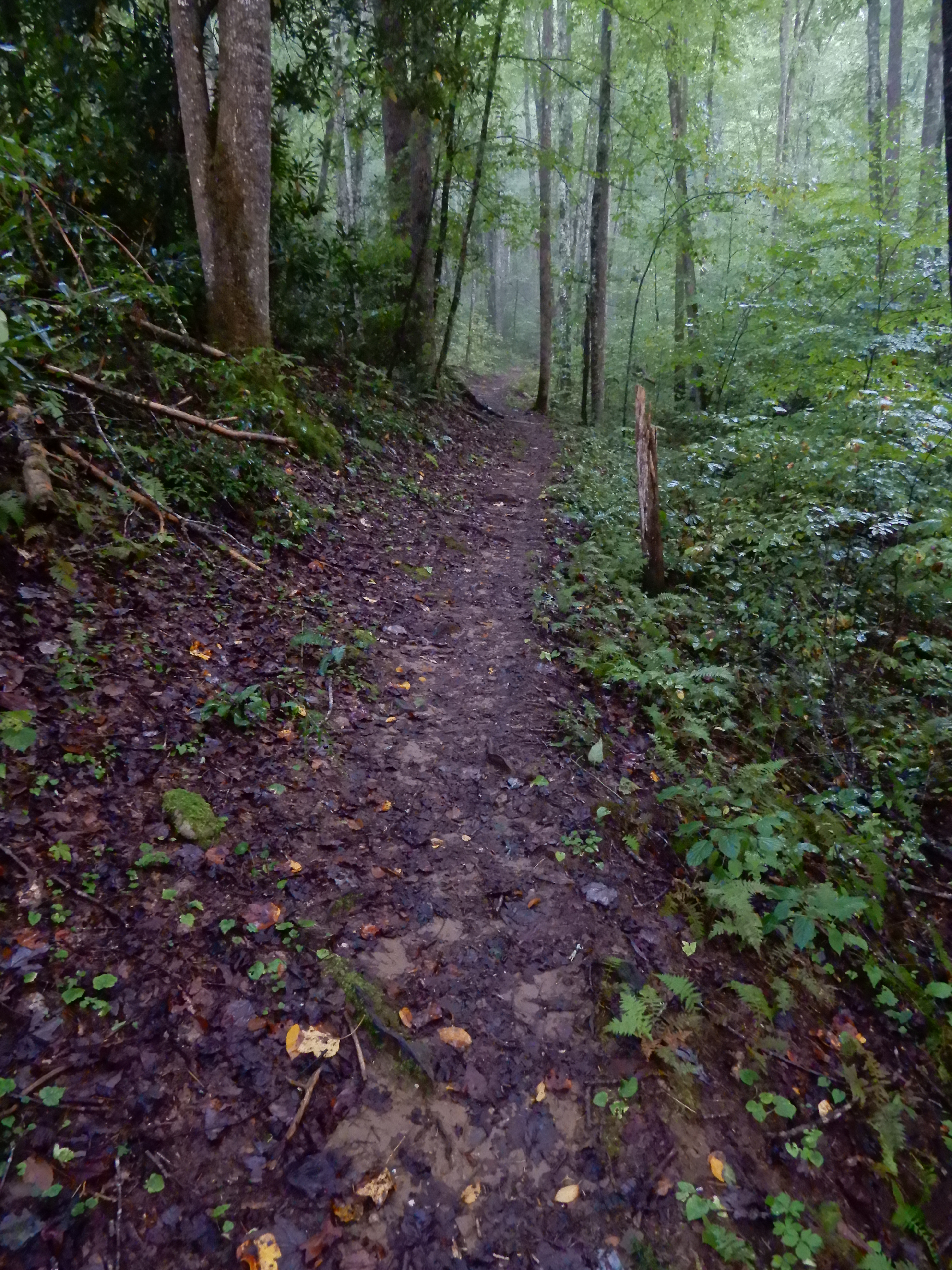
It was sloppy muddy and slick.


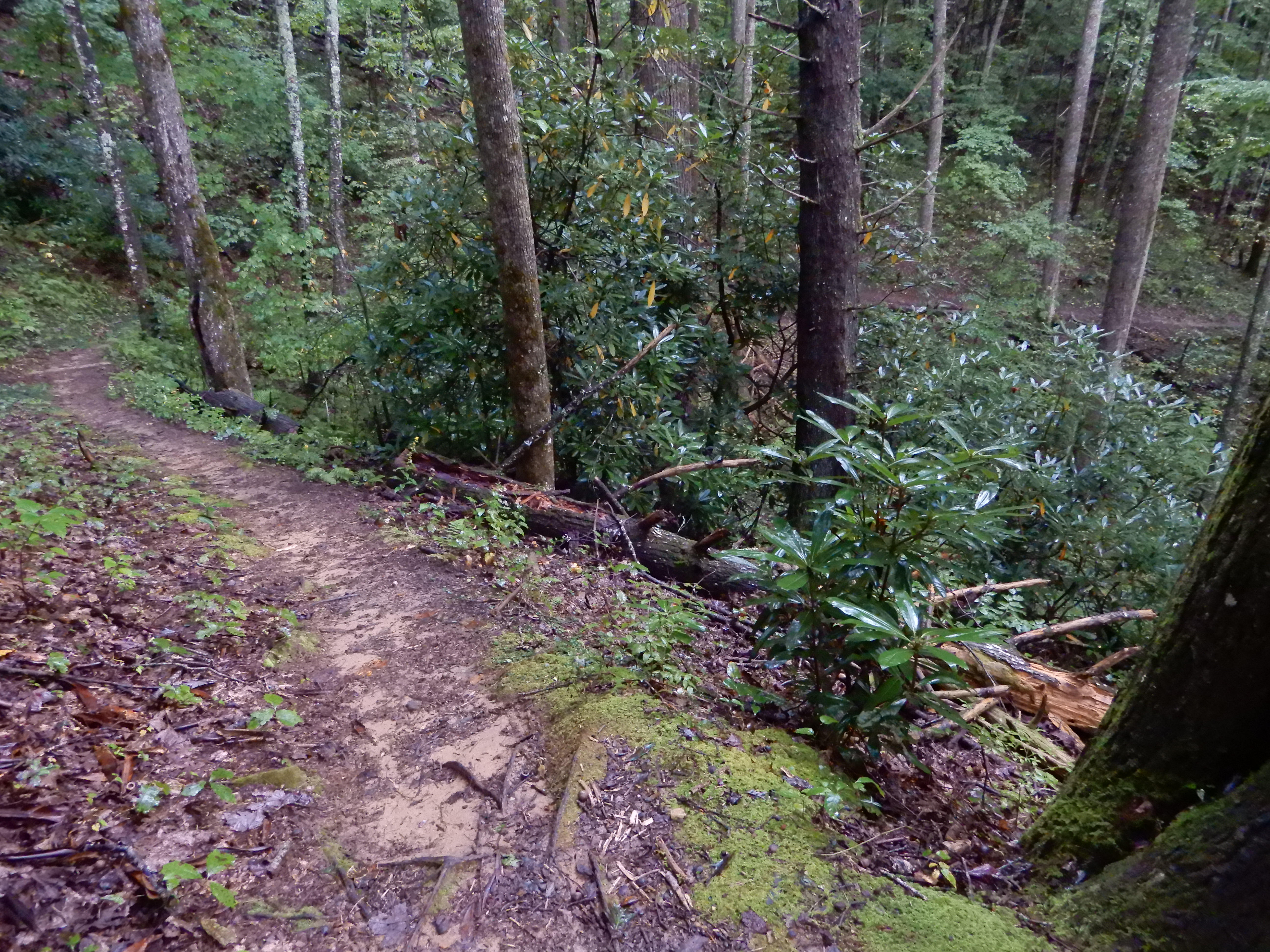
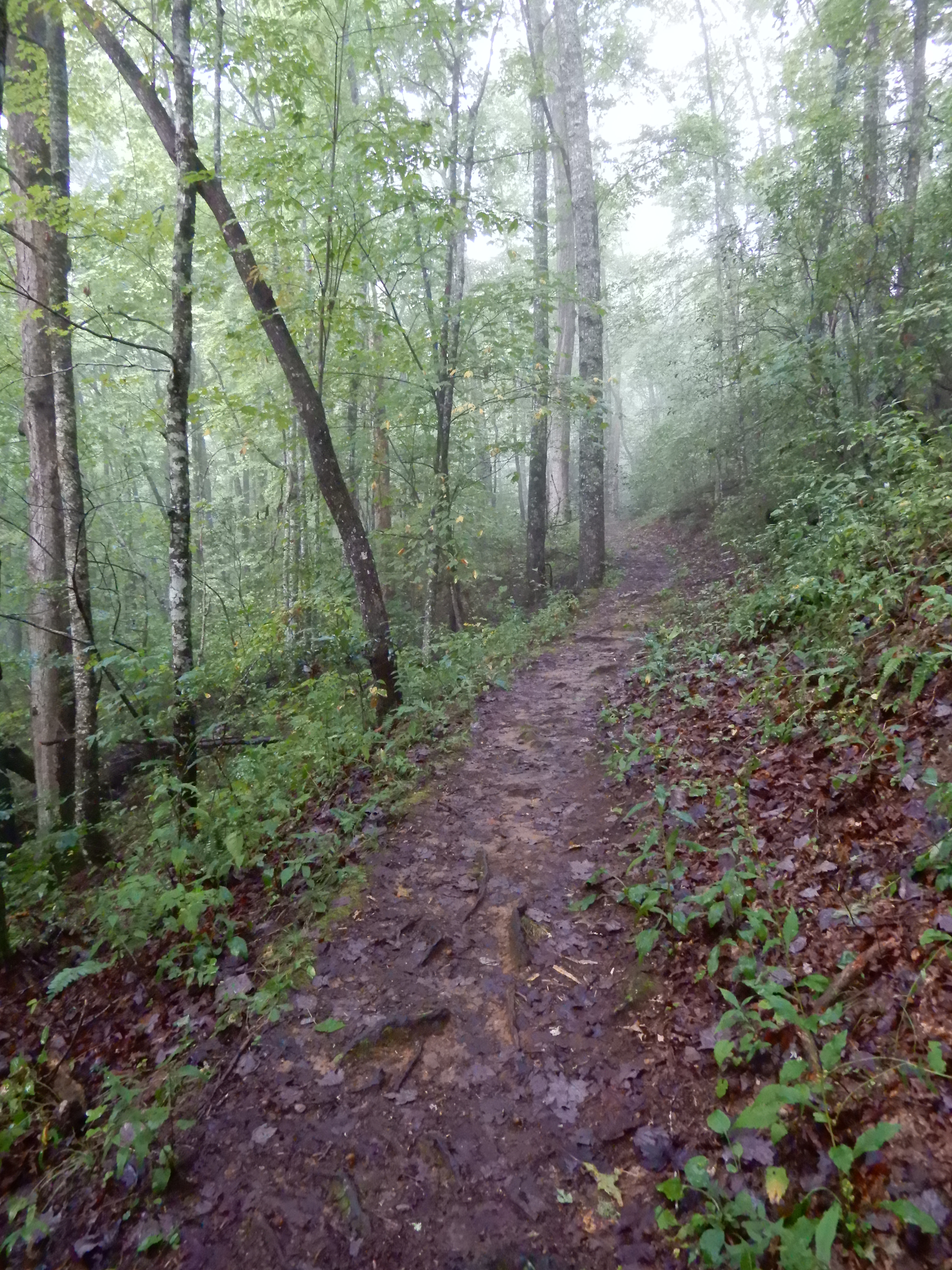
It was so rough going I gave up on it and turned back.


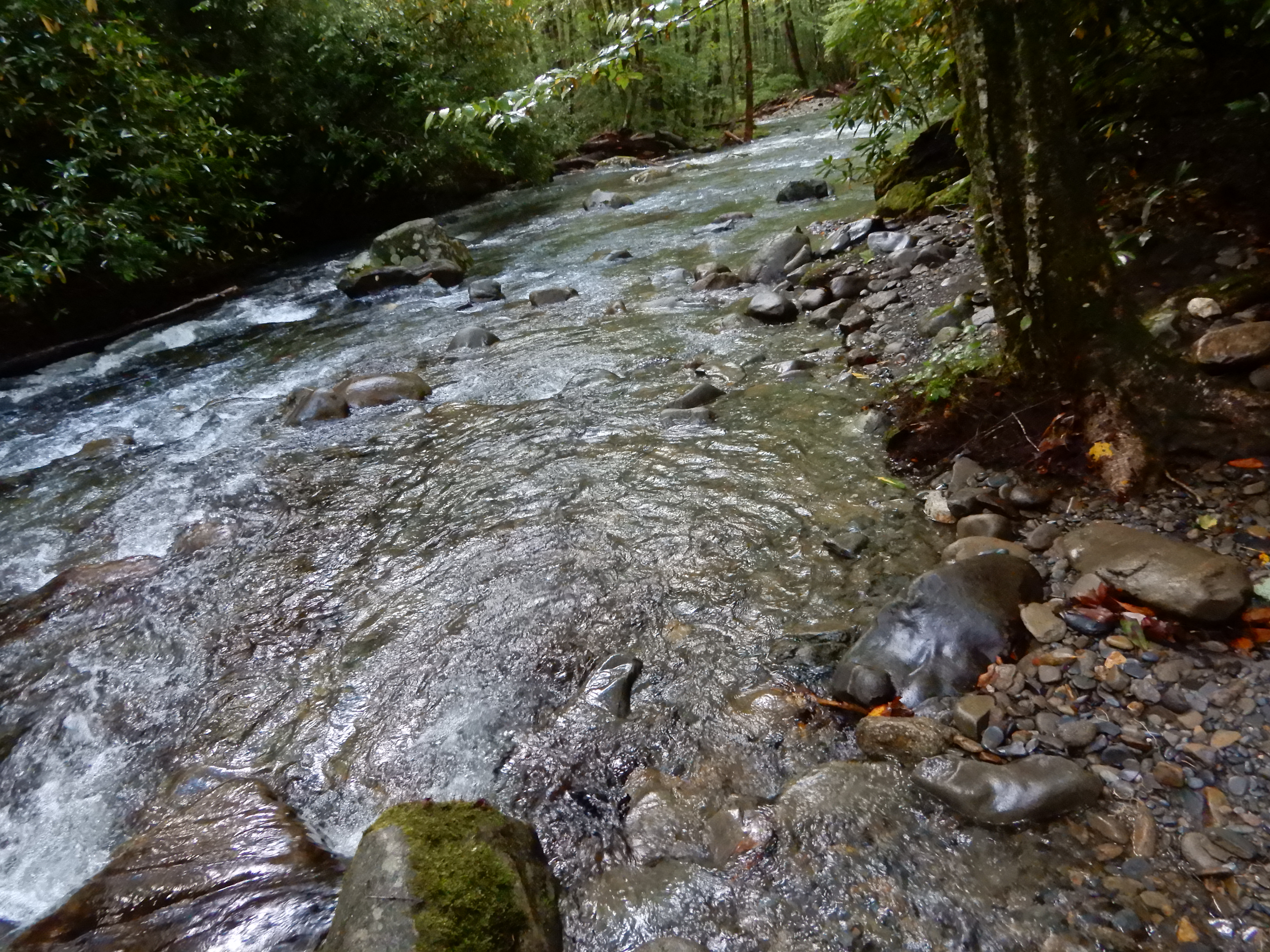
I made it back down to the river.


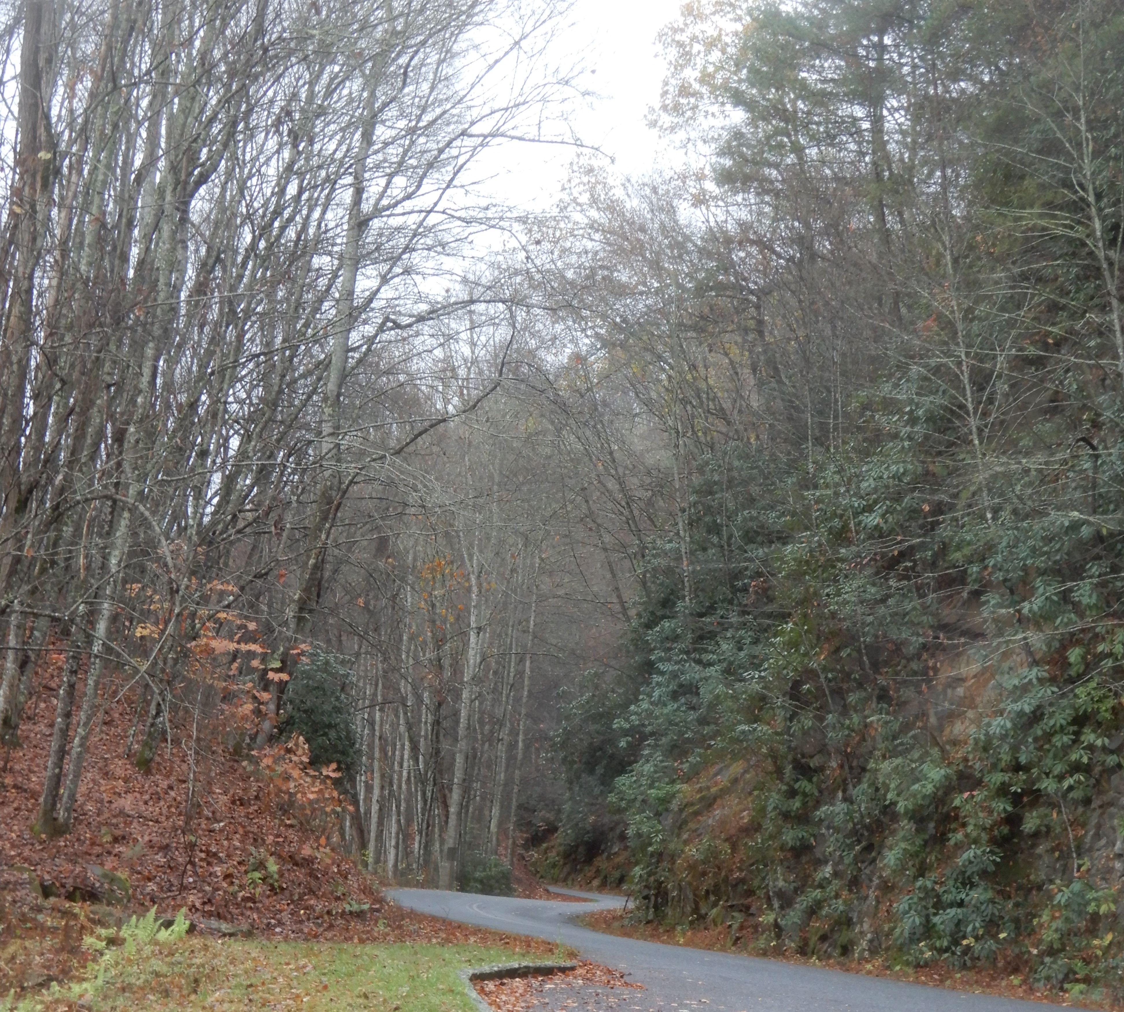
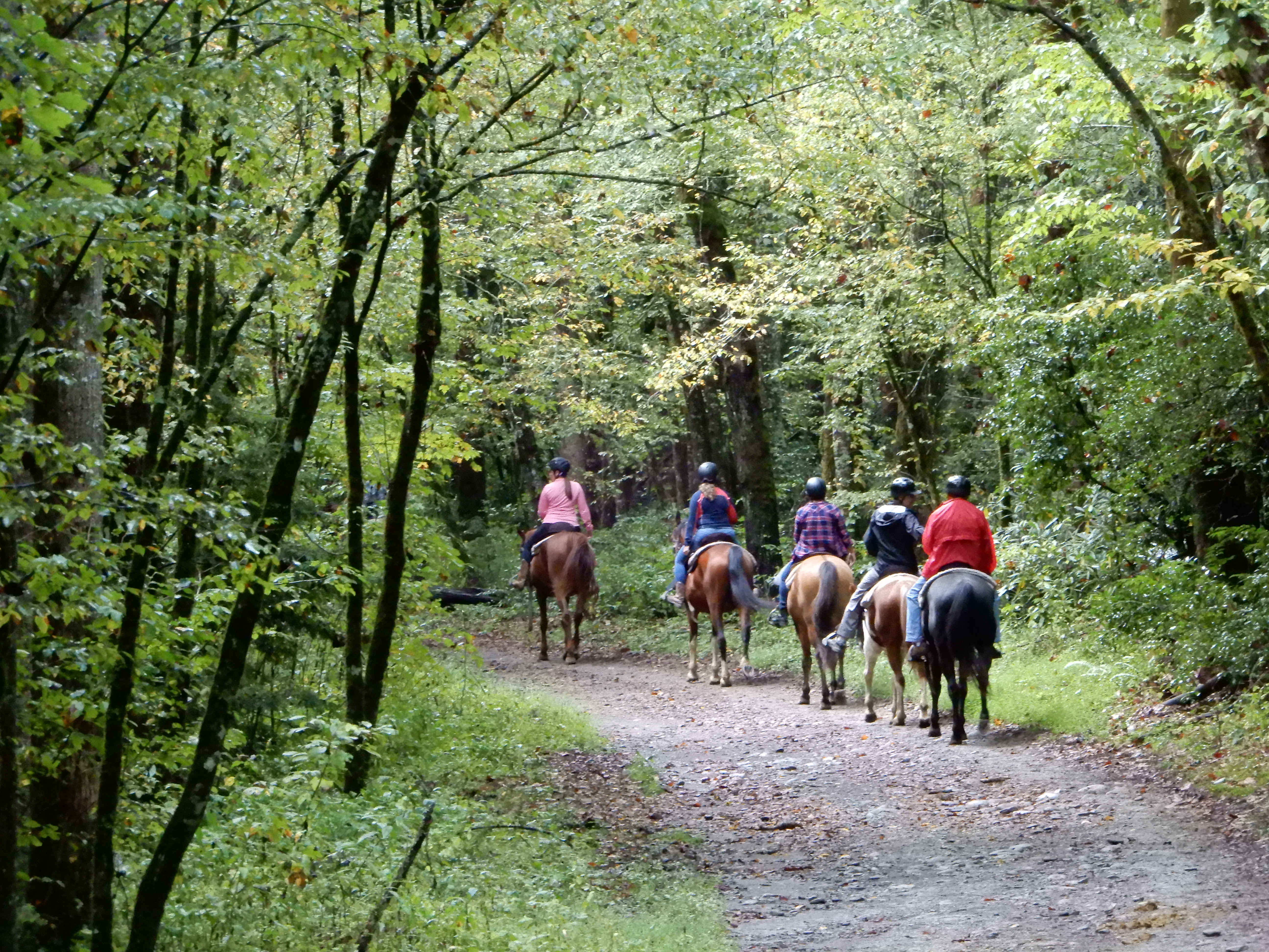
Which meant I had to cross that log bridge again. I did, without mishap. Then it was back toward the campground on the horse trail. On the way, some horses passed me.


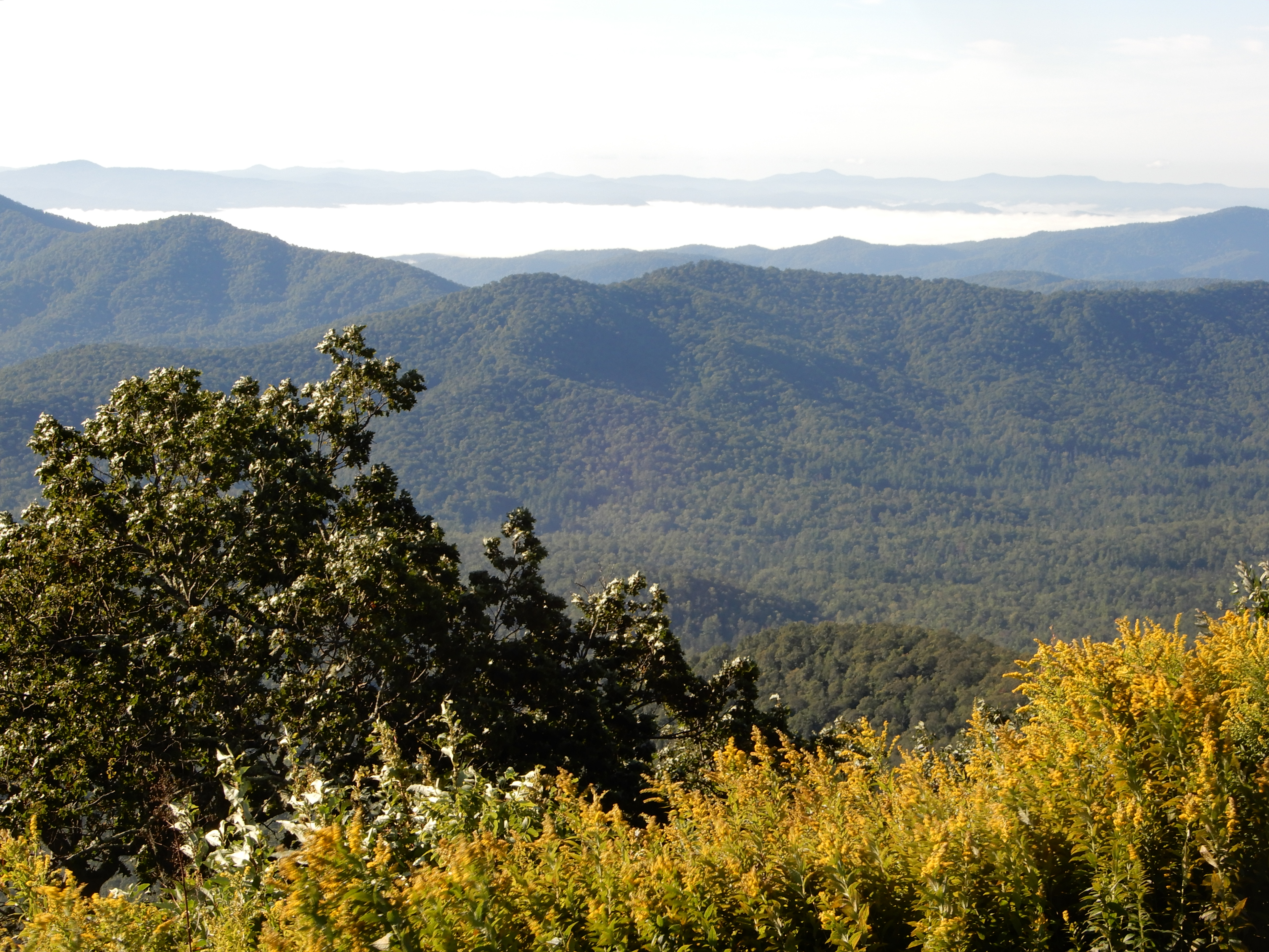
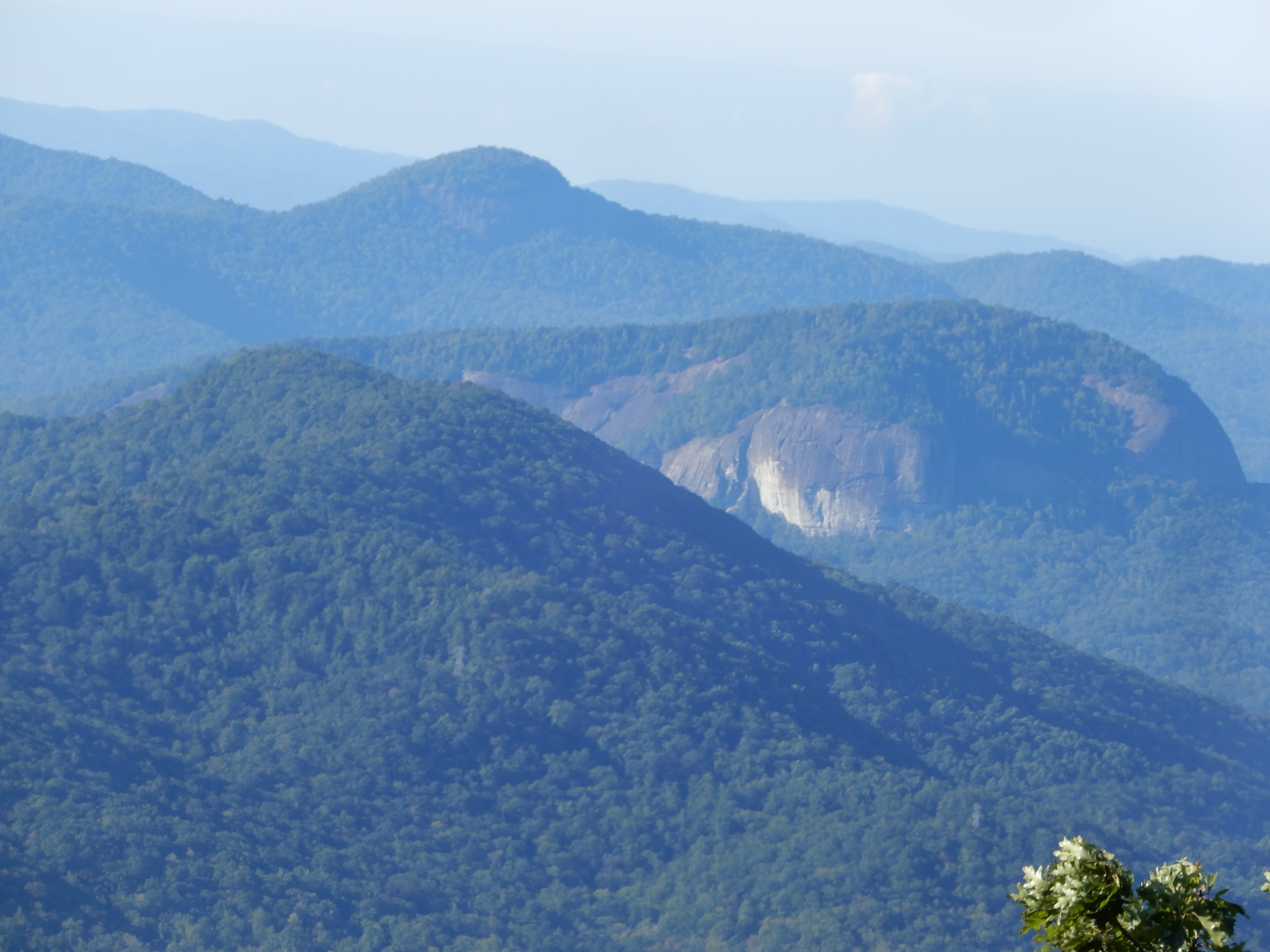
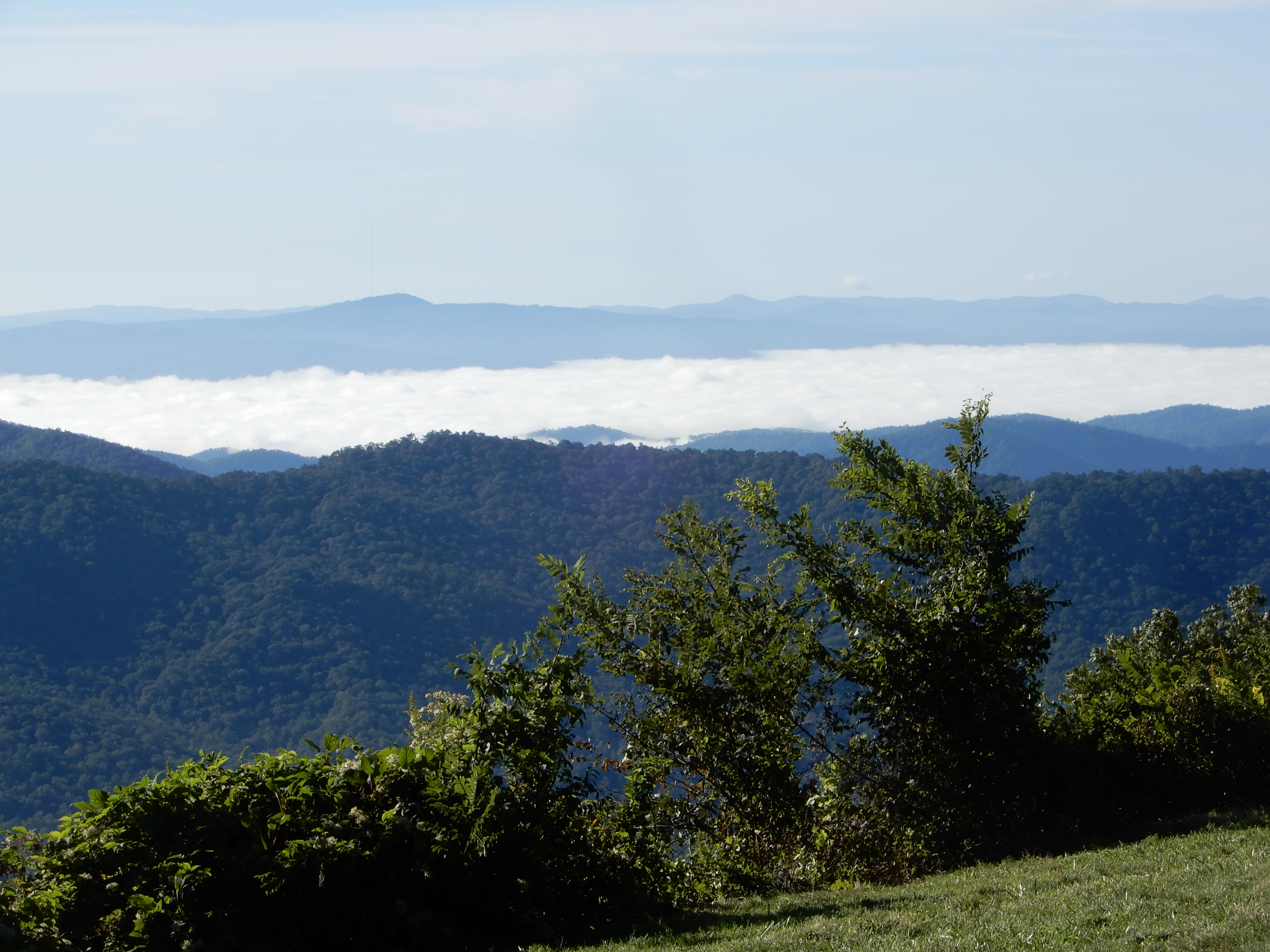
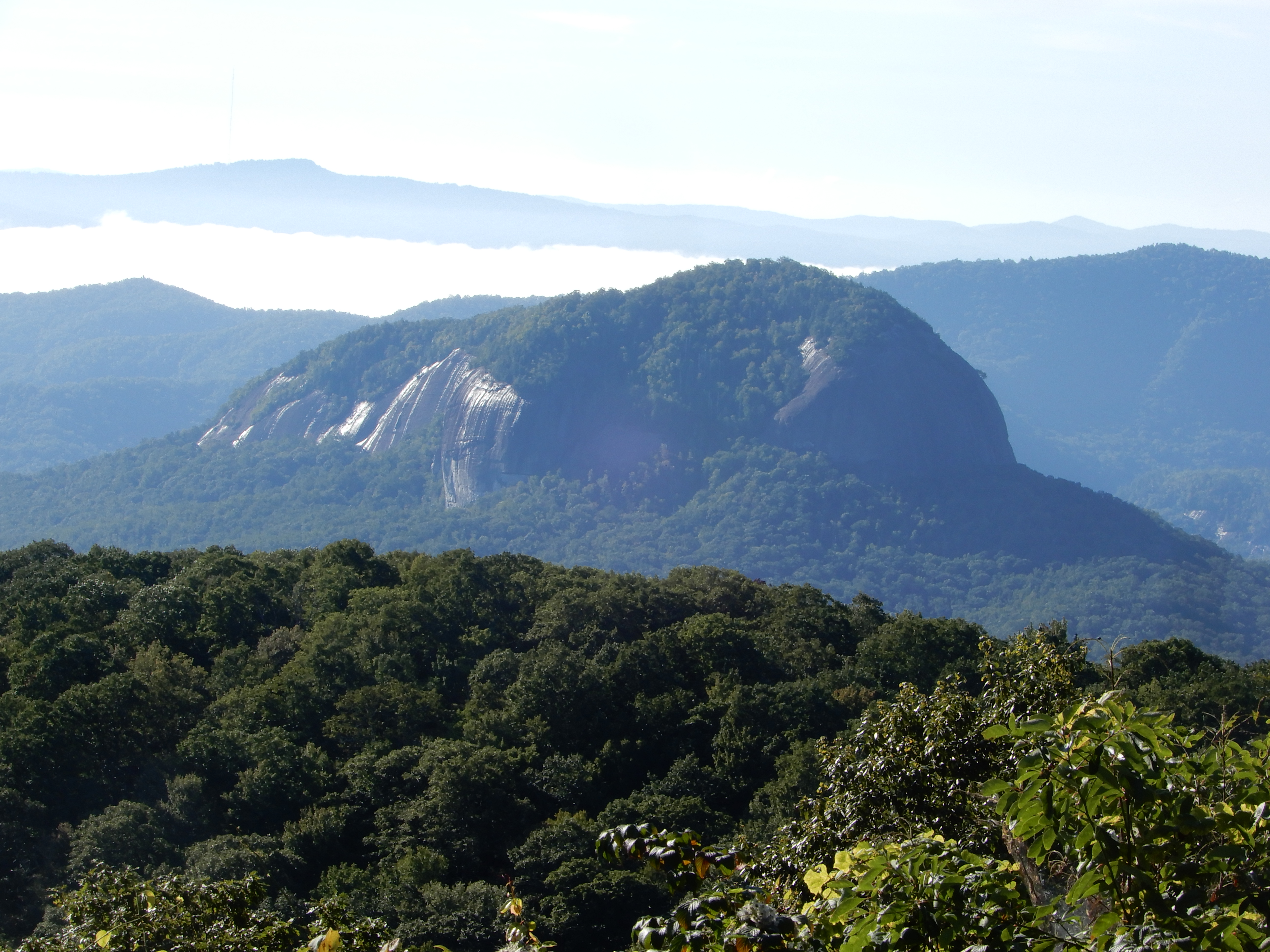
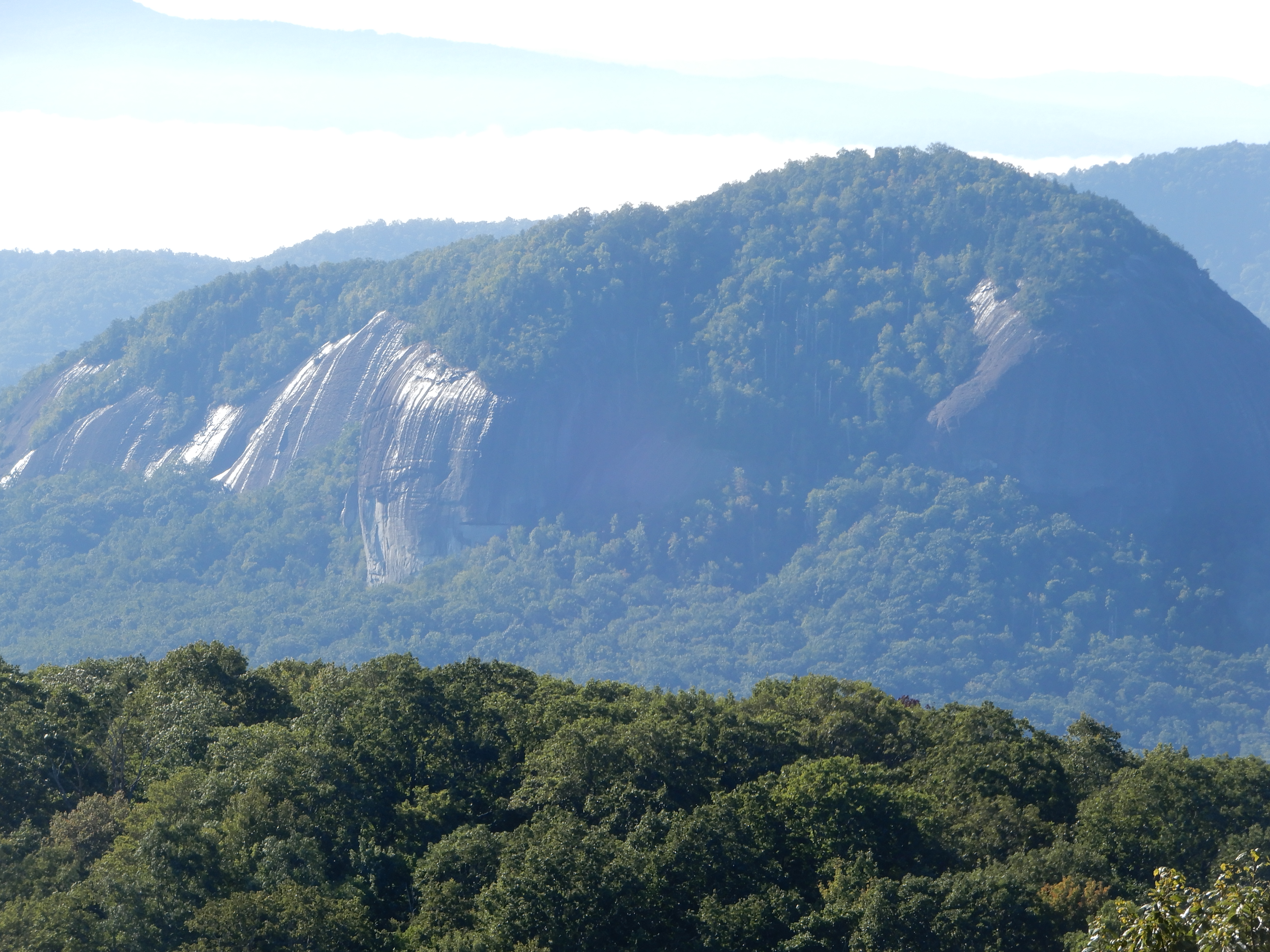
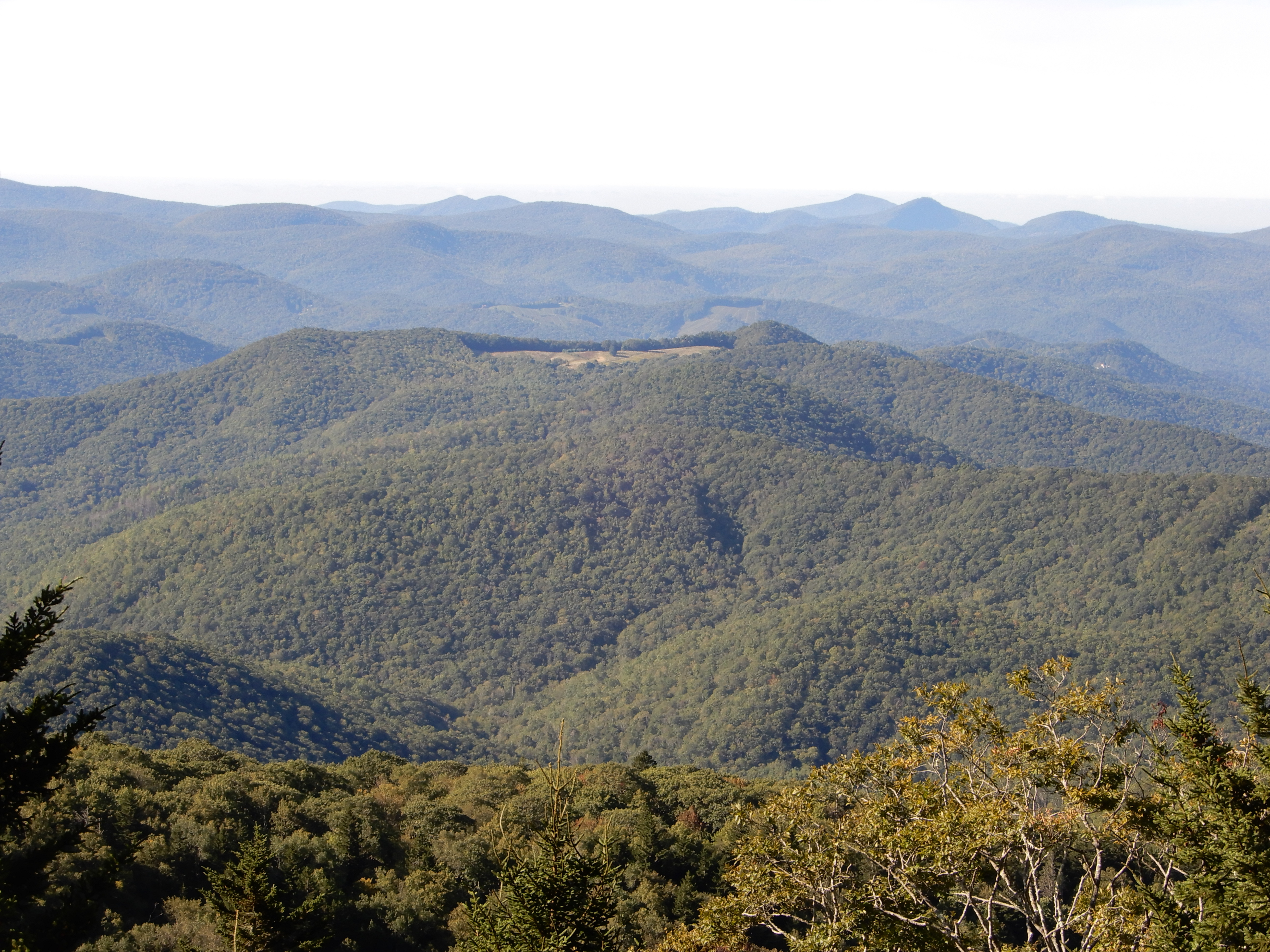
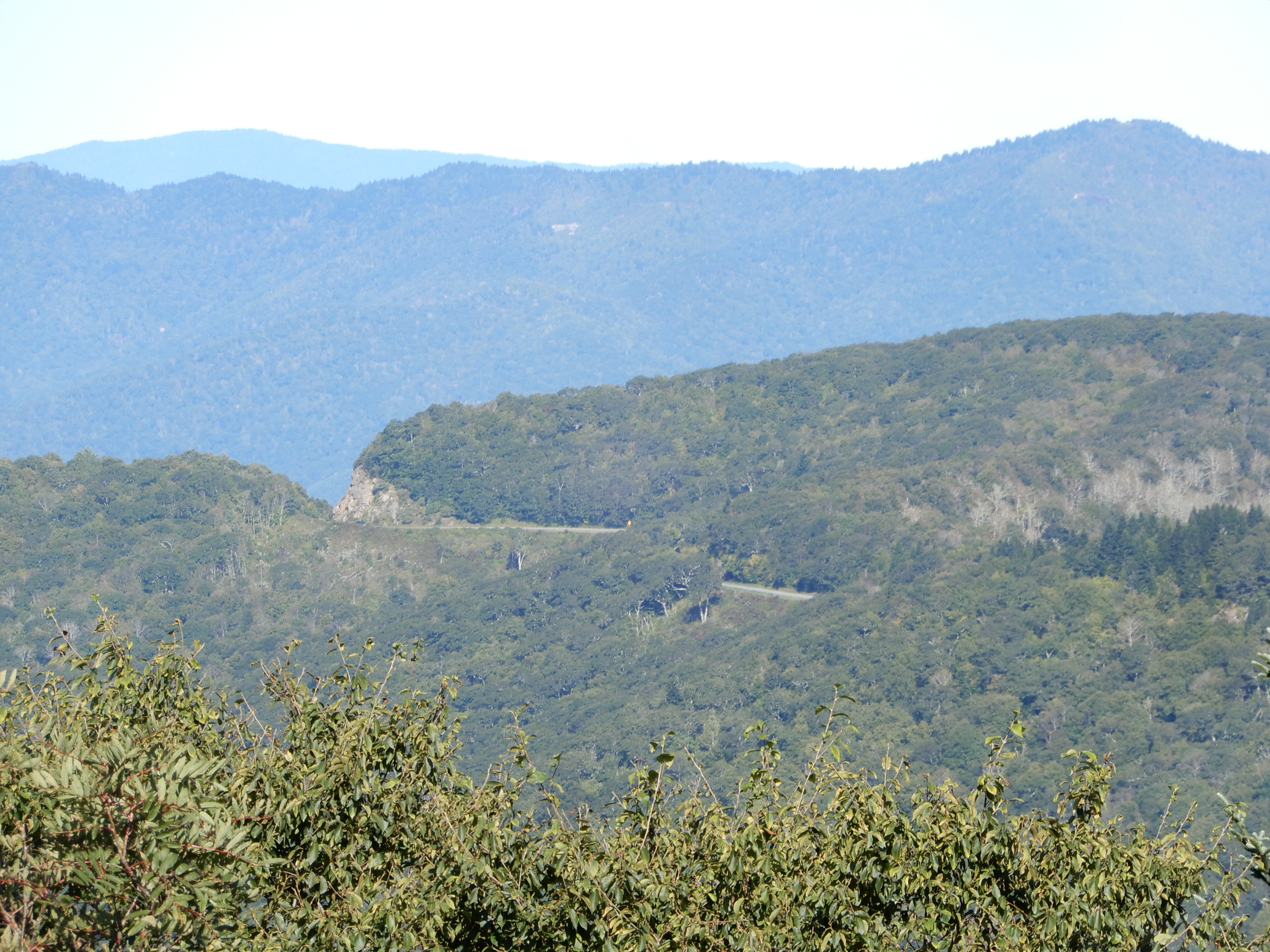
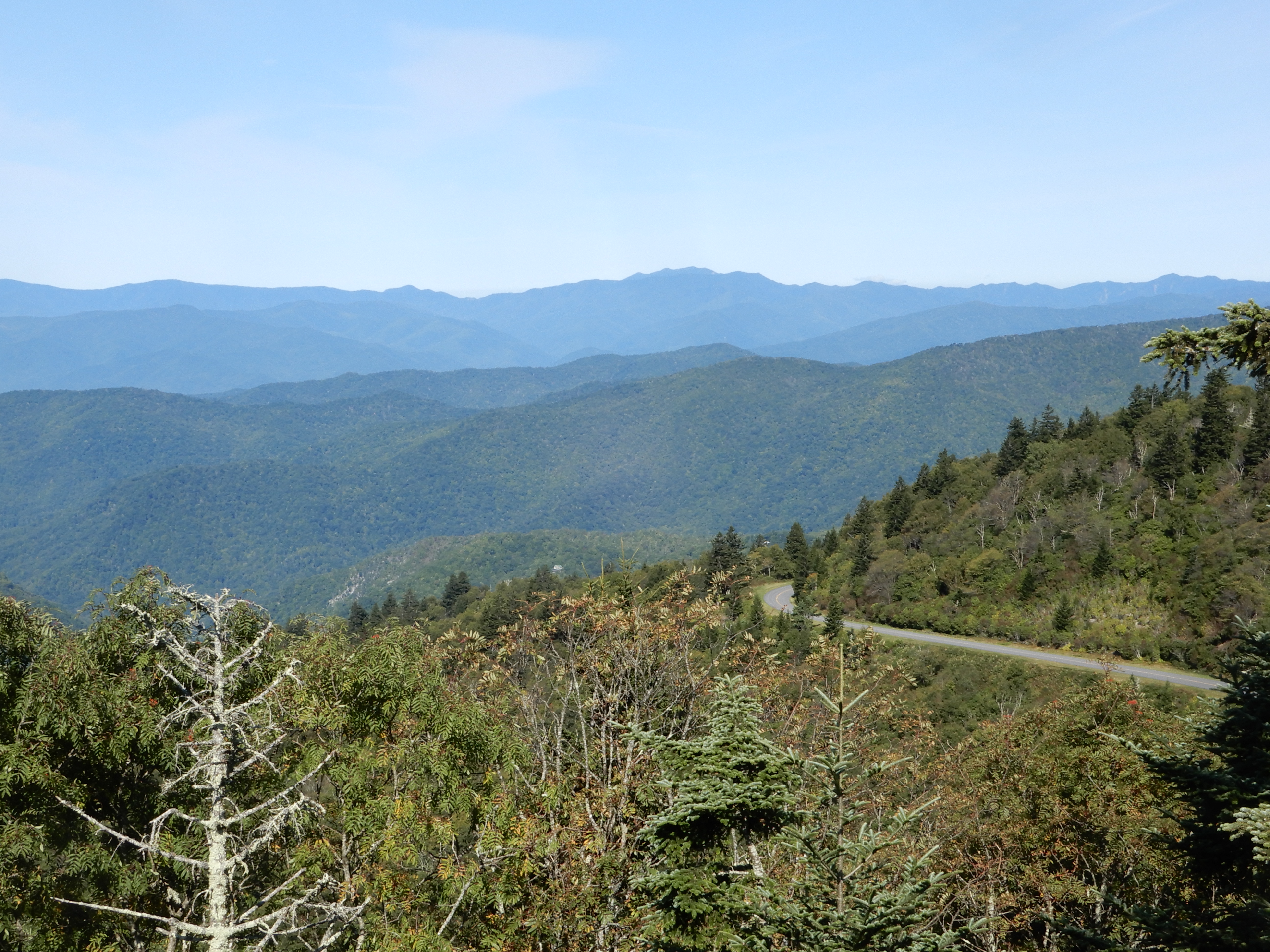
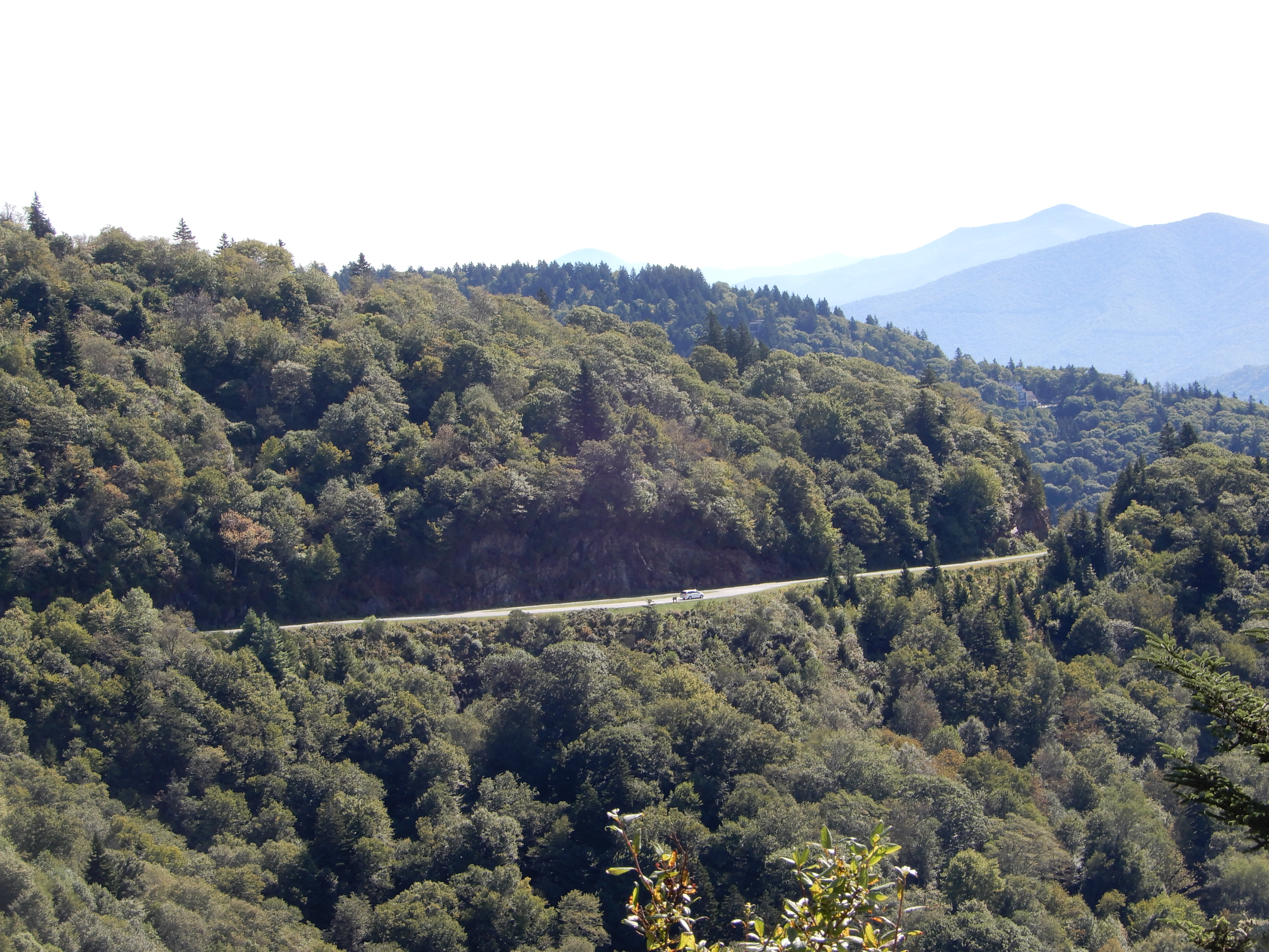
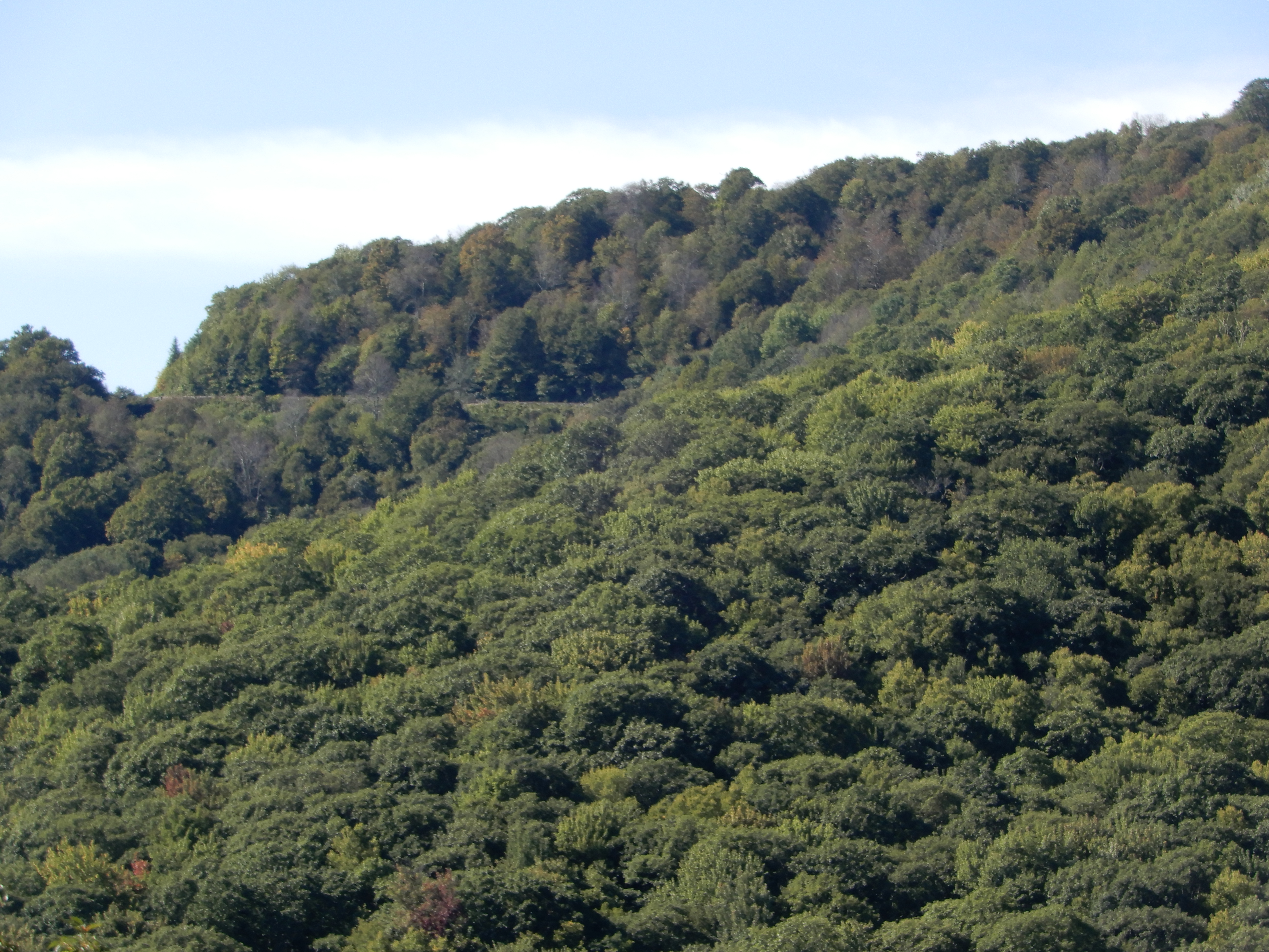
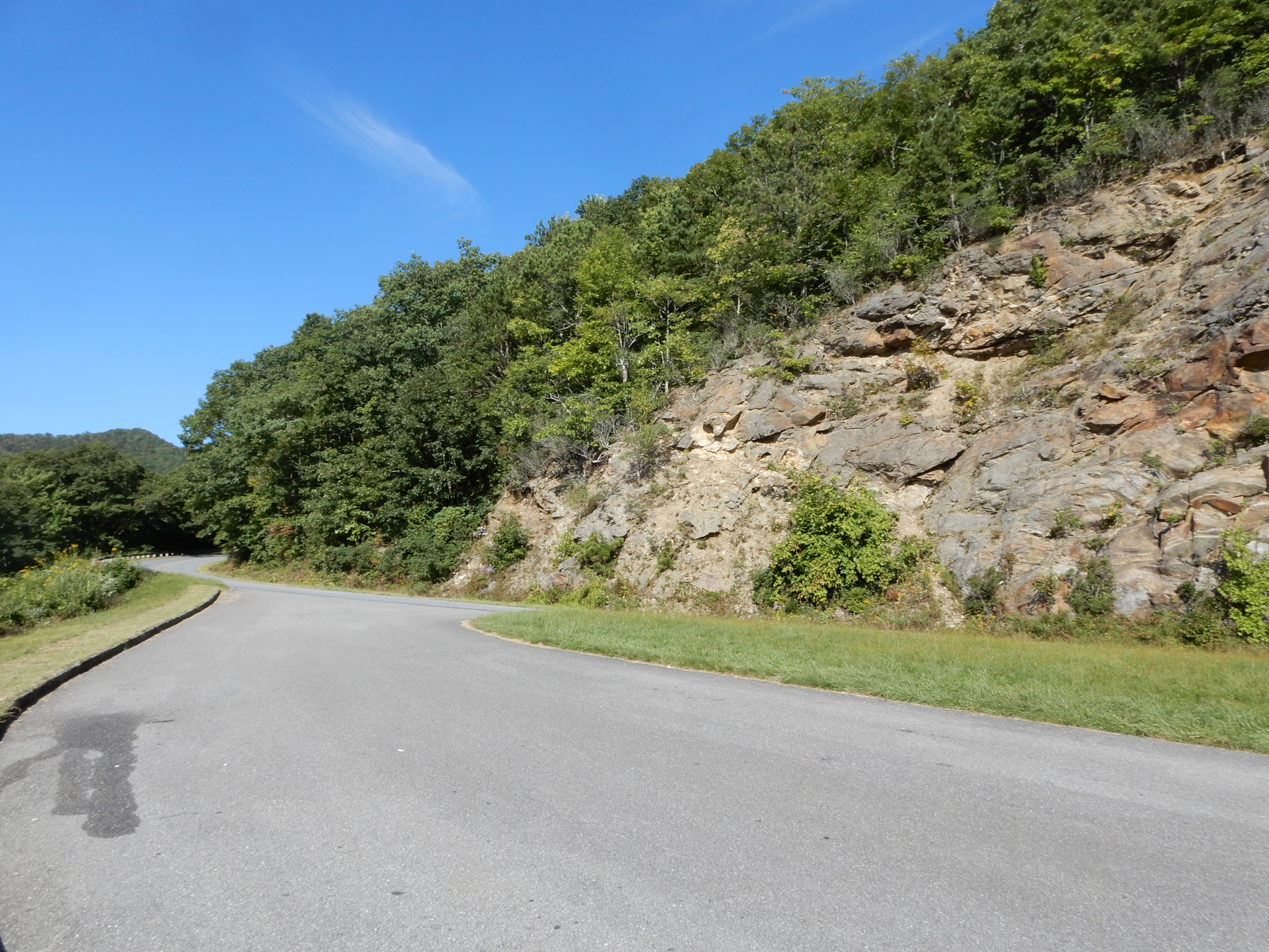
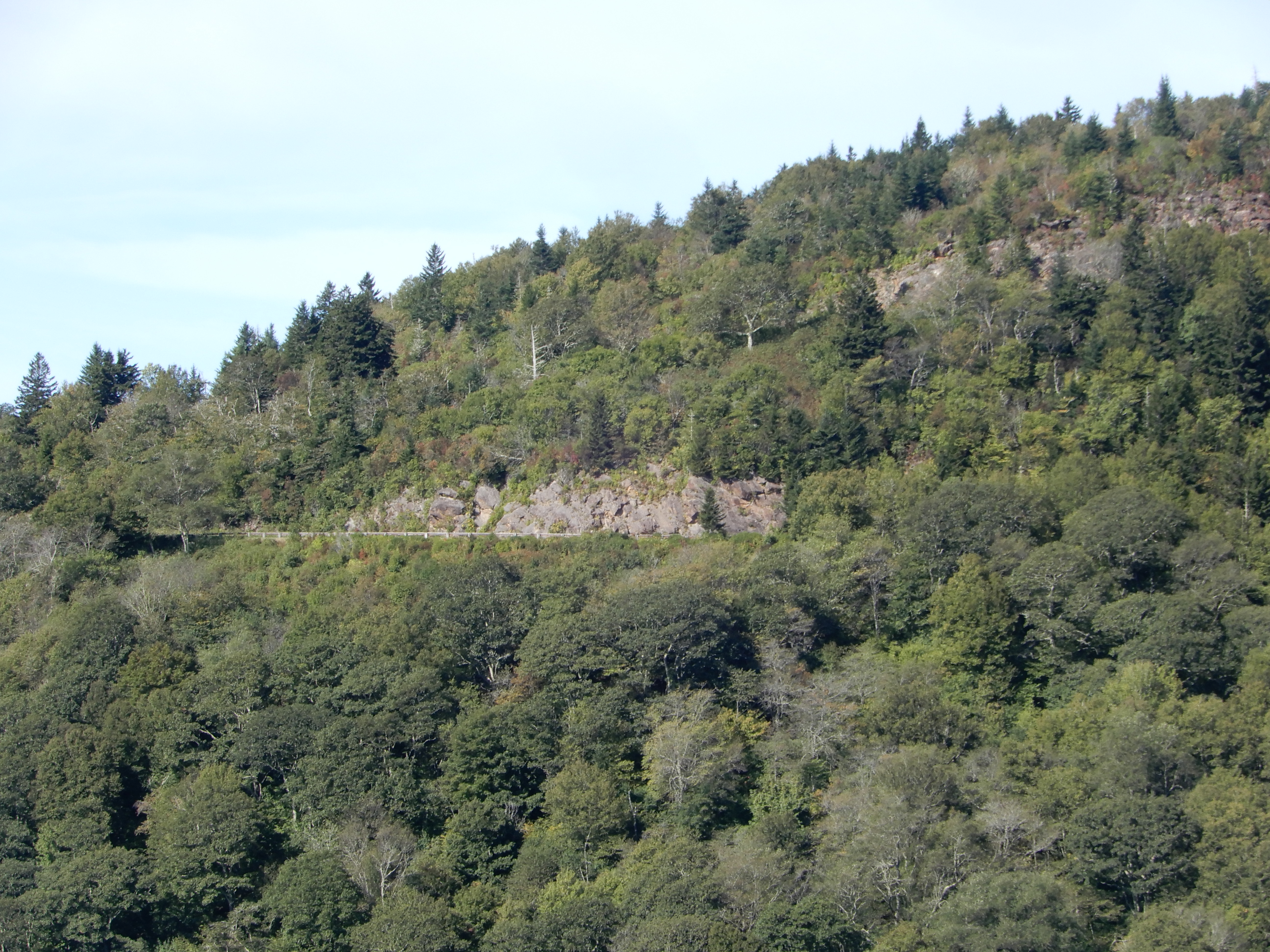
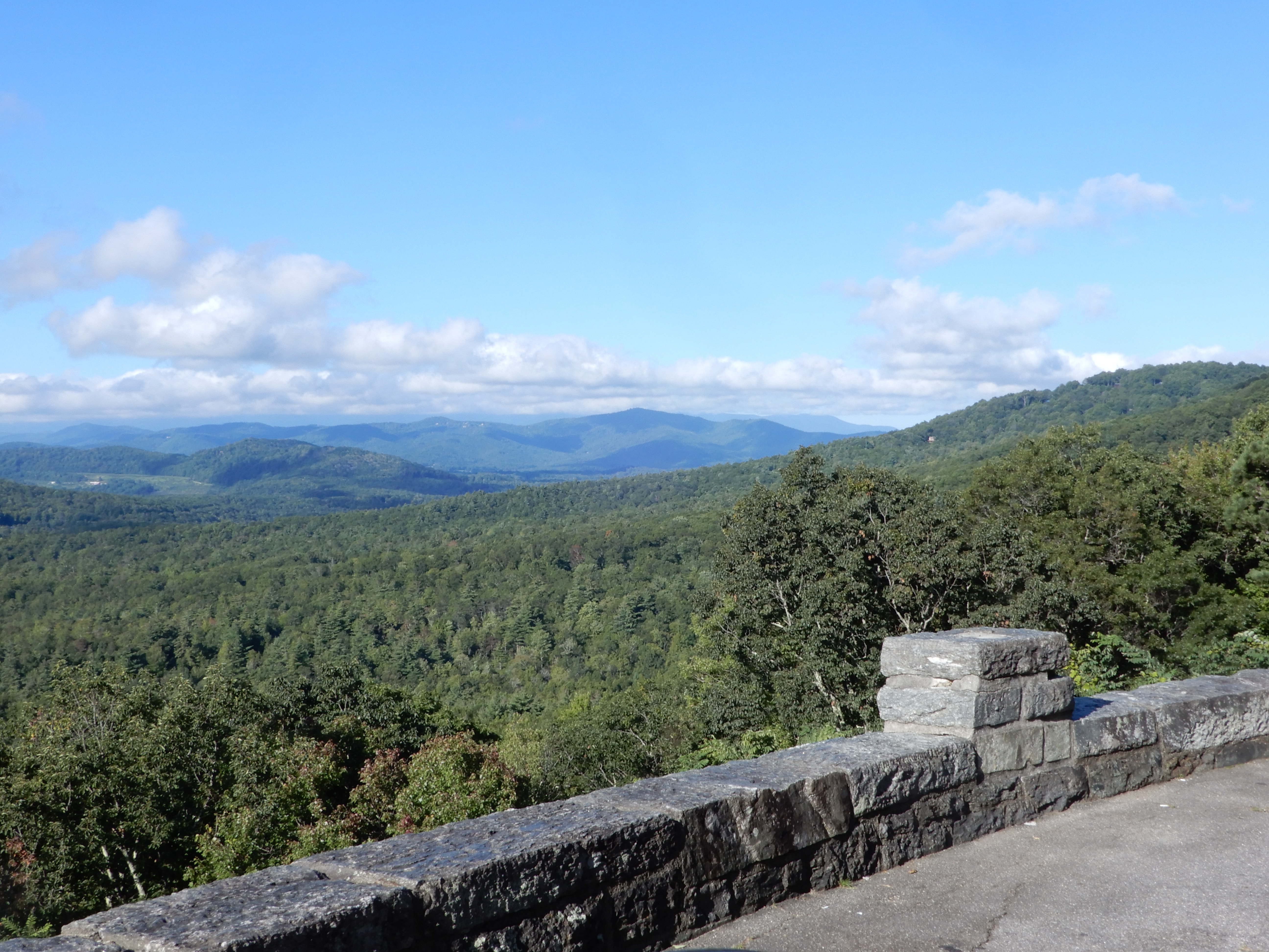
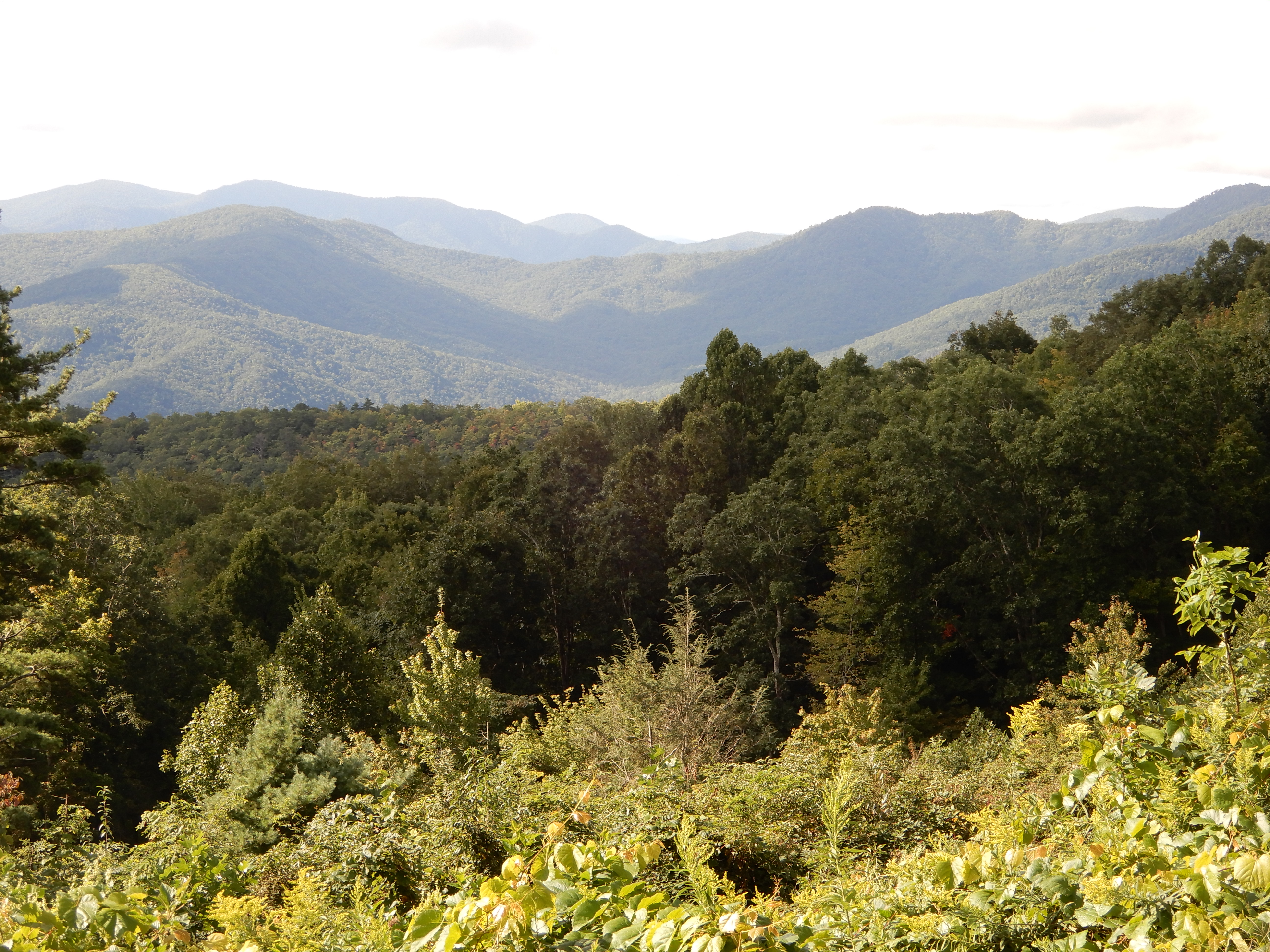
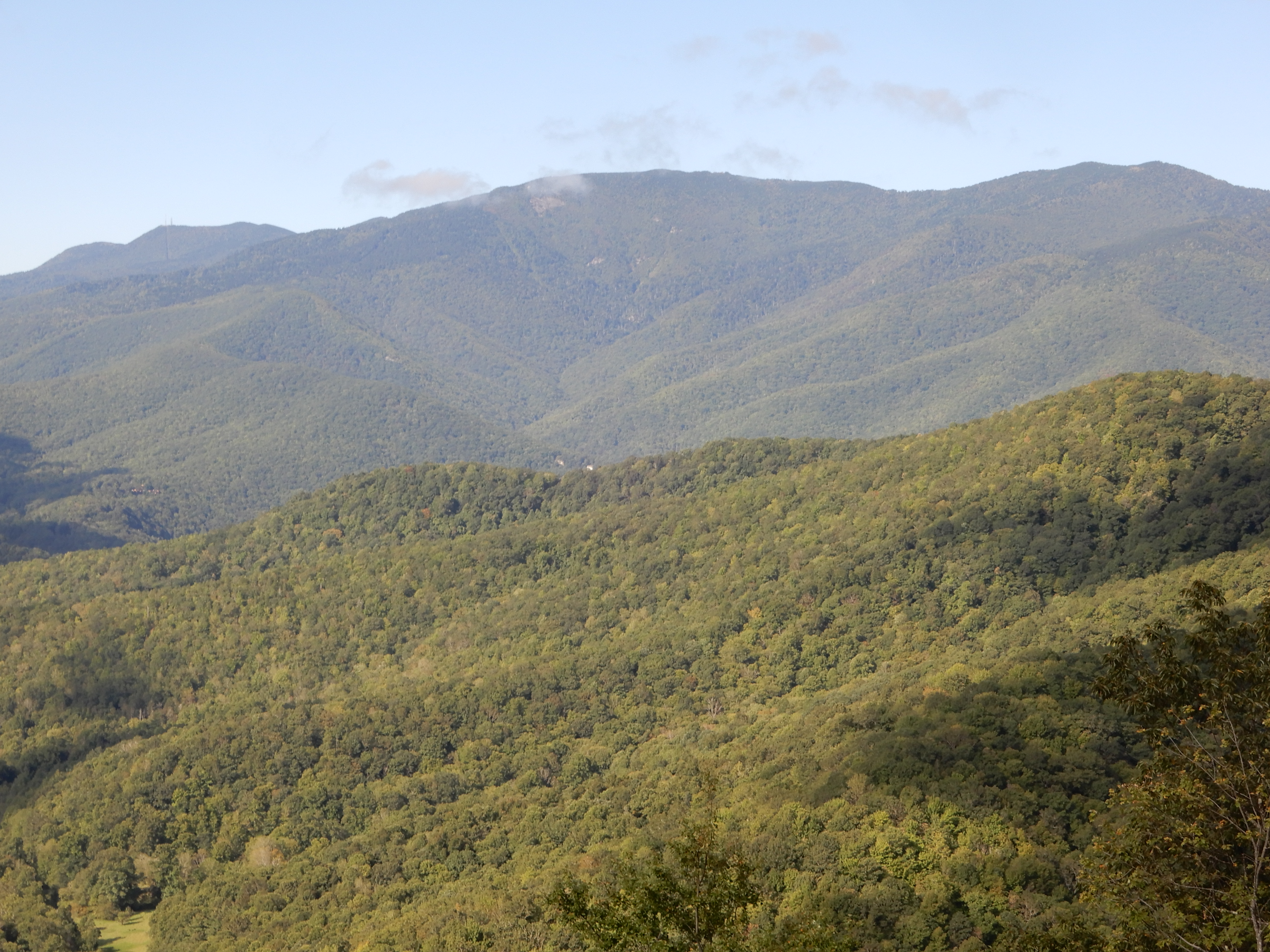
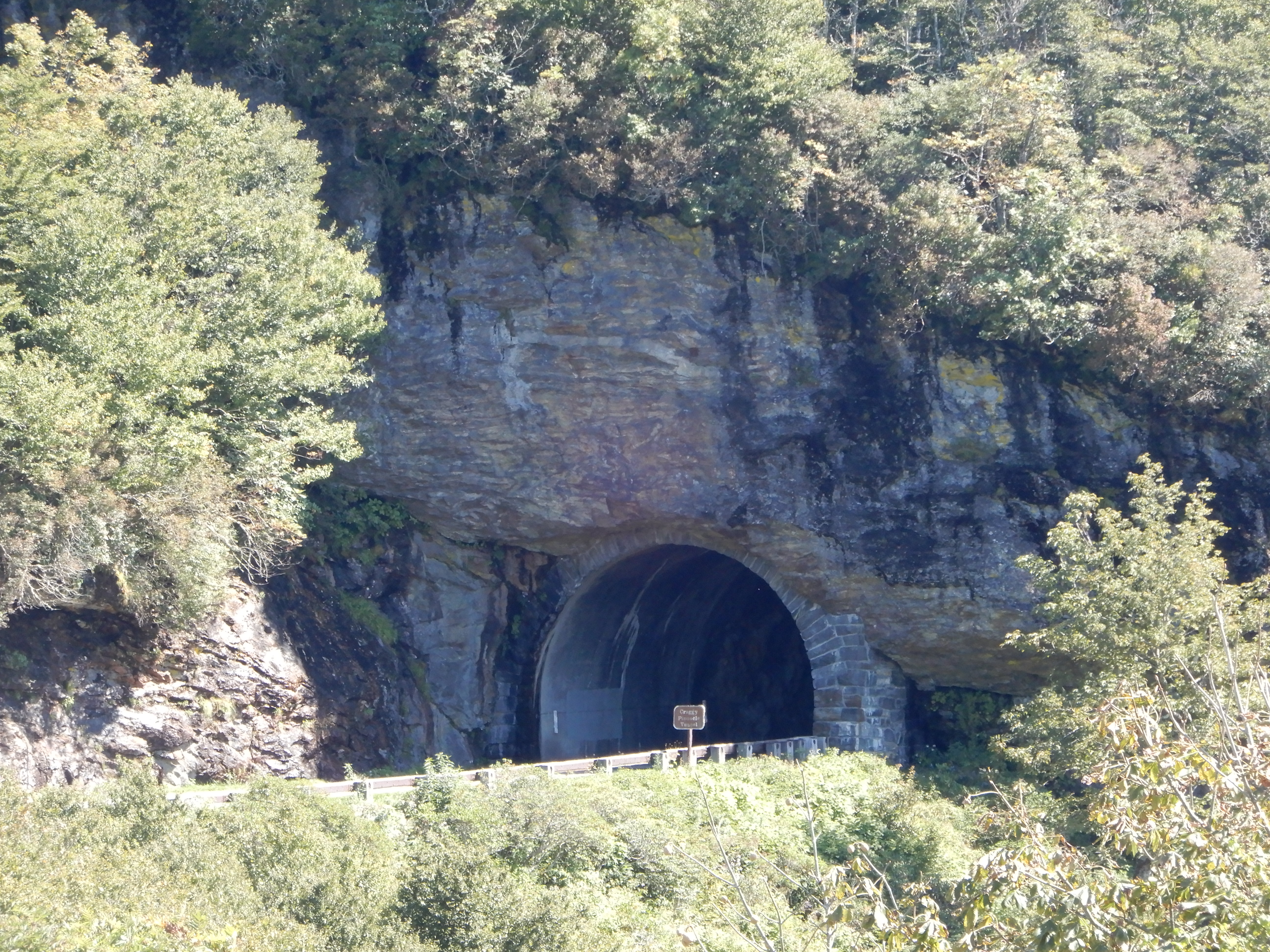
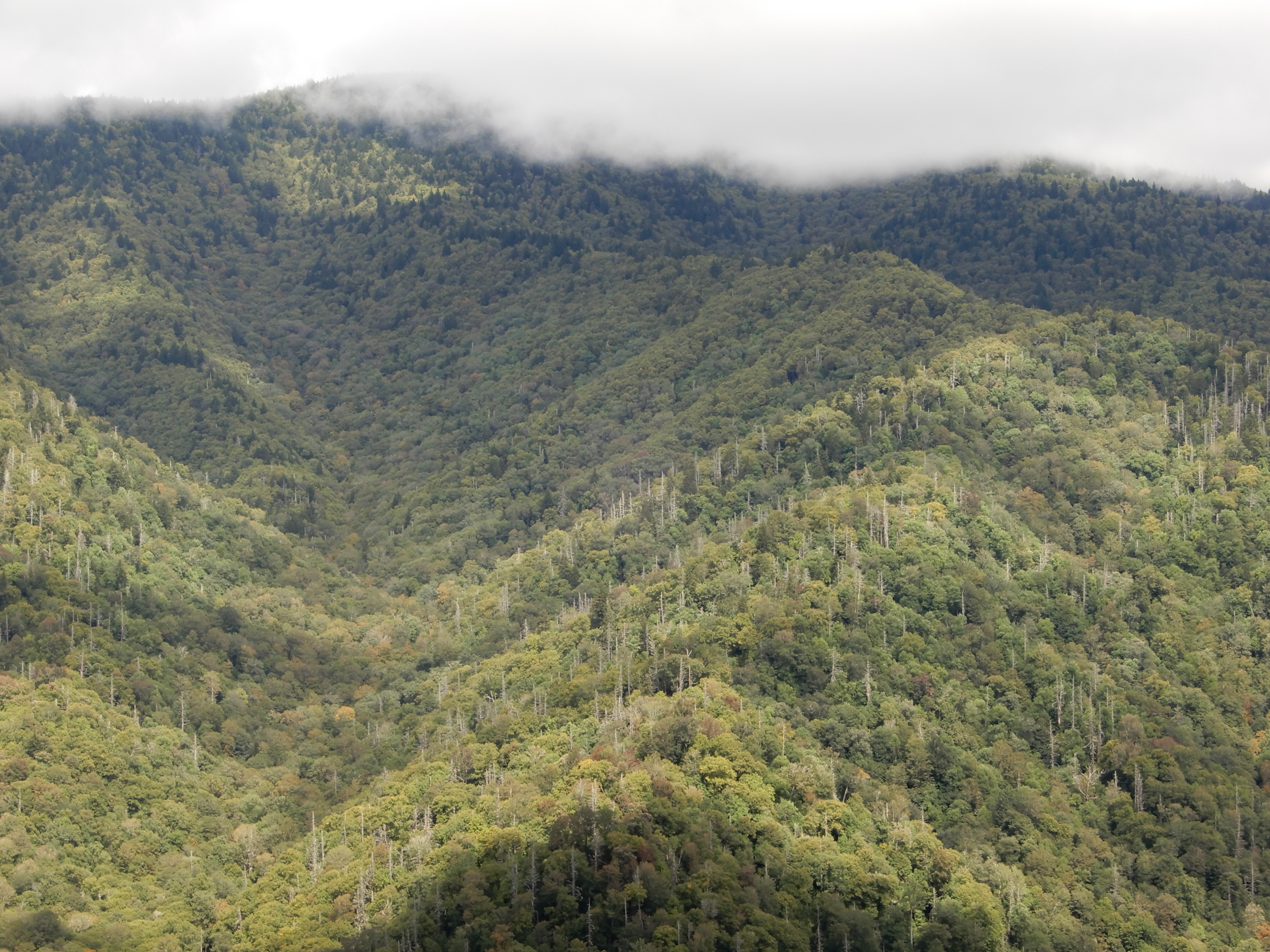
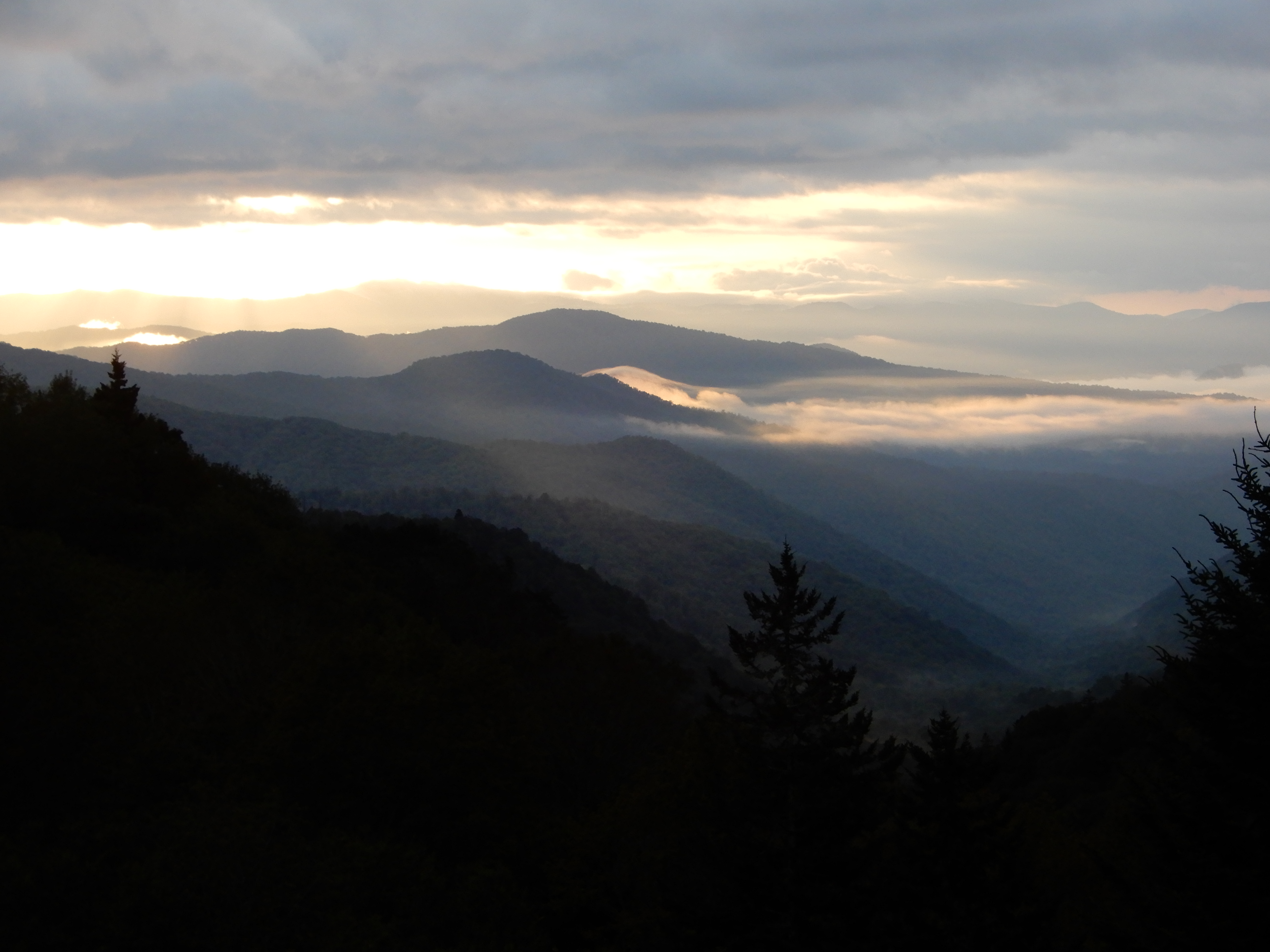
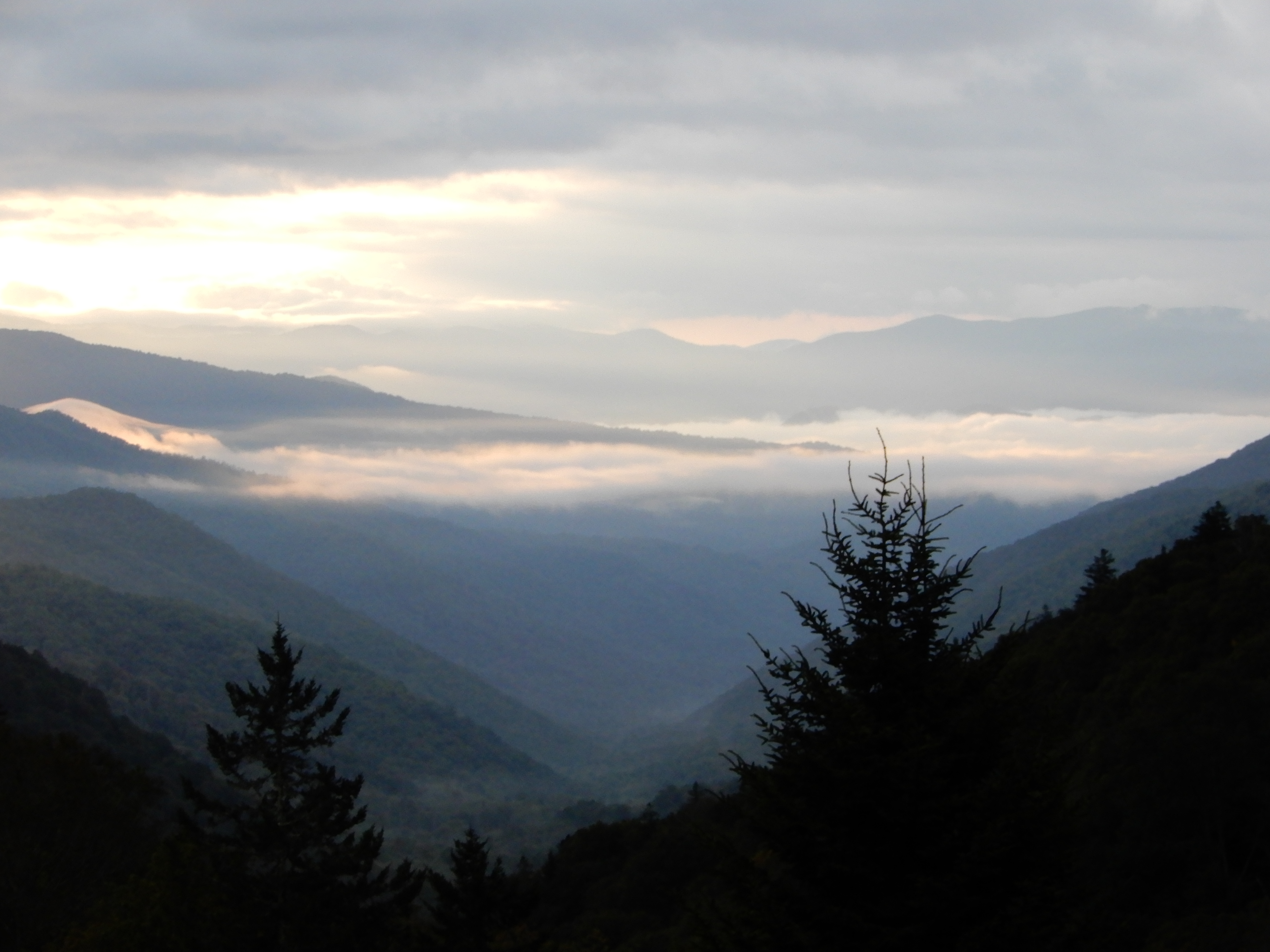
I figure I did 5-5.5 miles by the time I got back to the site and crashed. After lunch we drove into Cherokee and walked around, then drove into the Smokies nearly all the way to Newfound Gap.


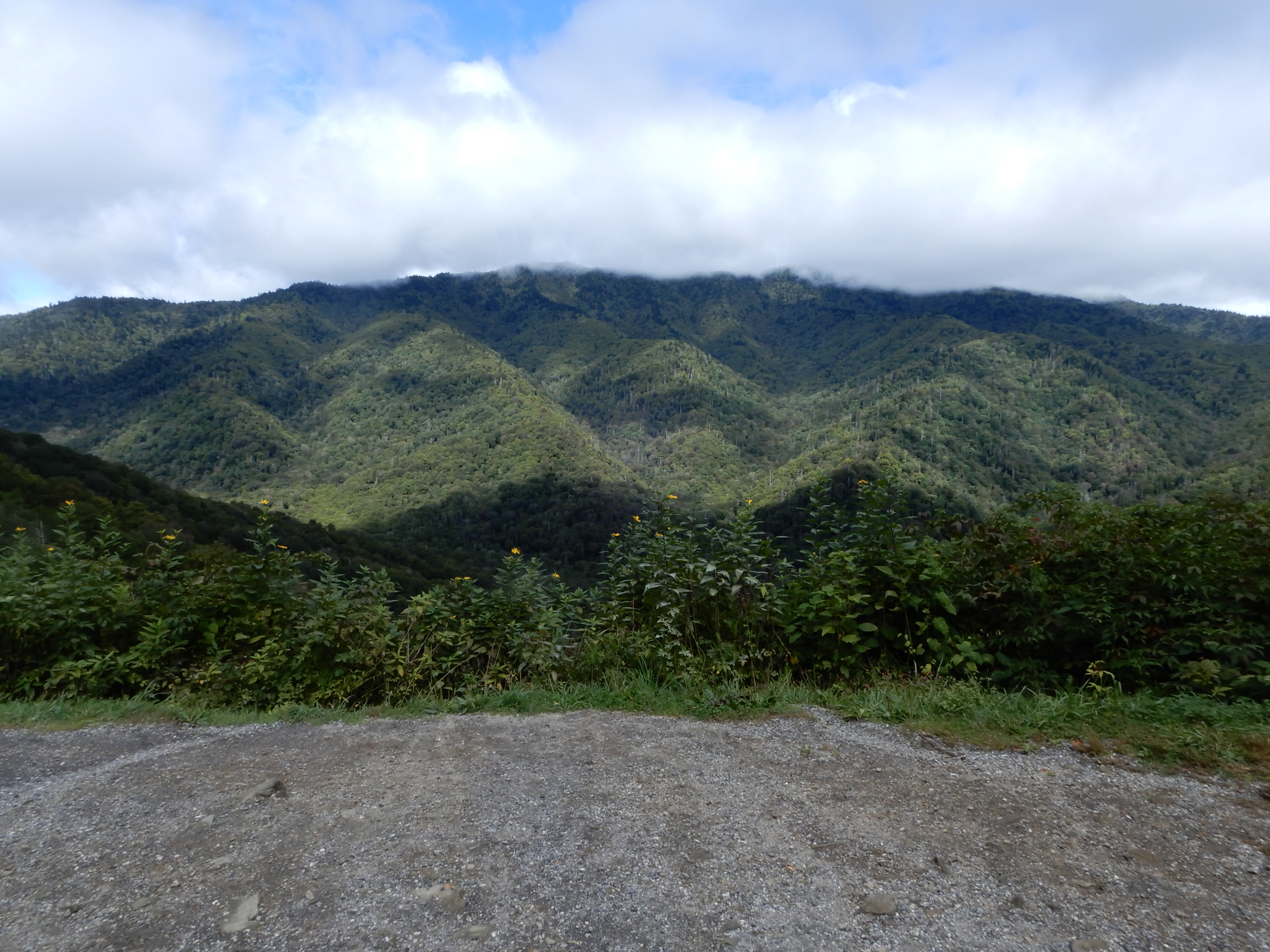
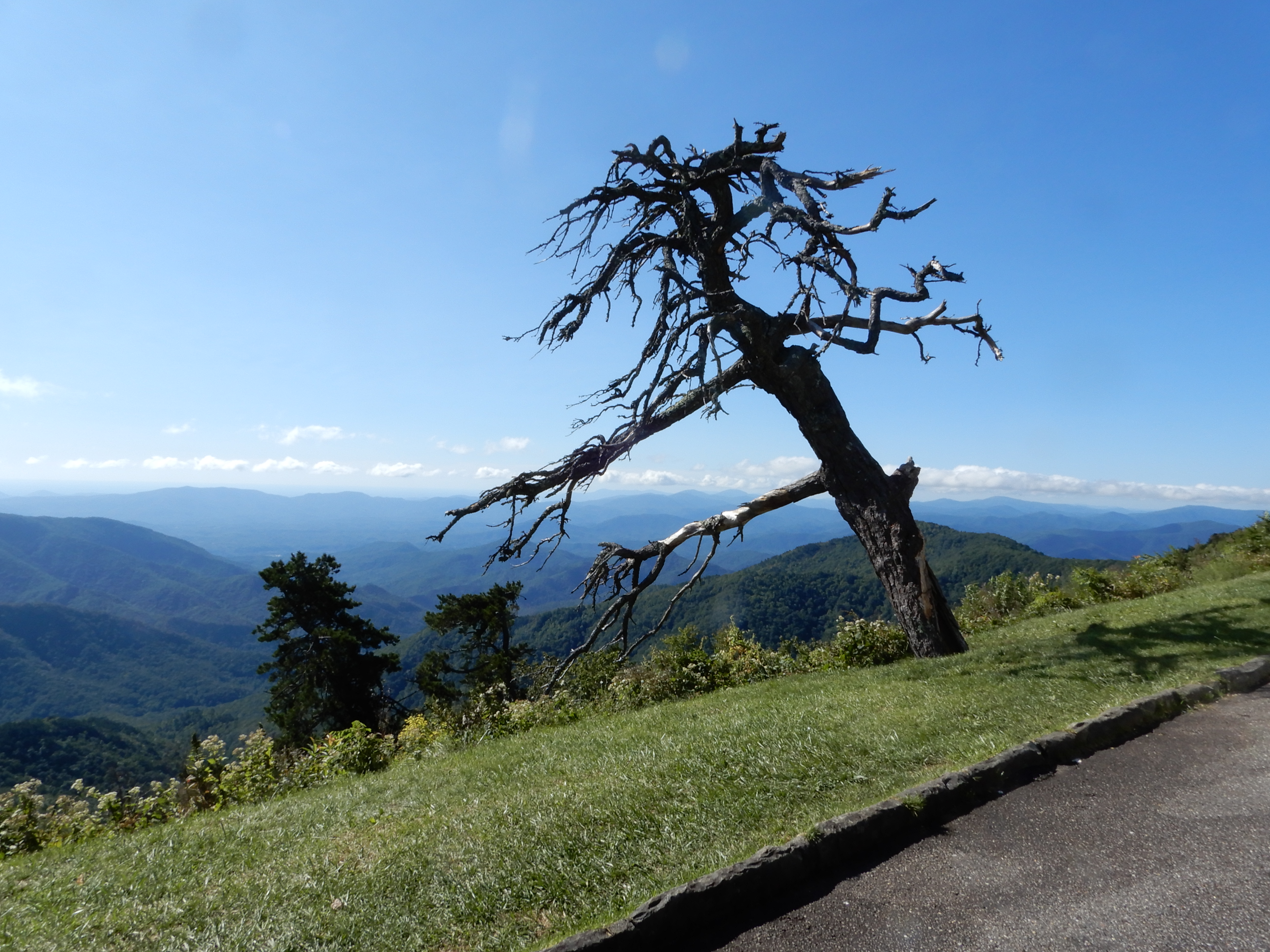
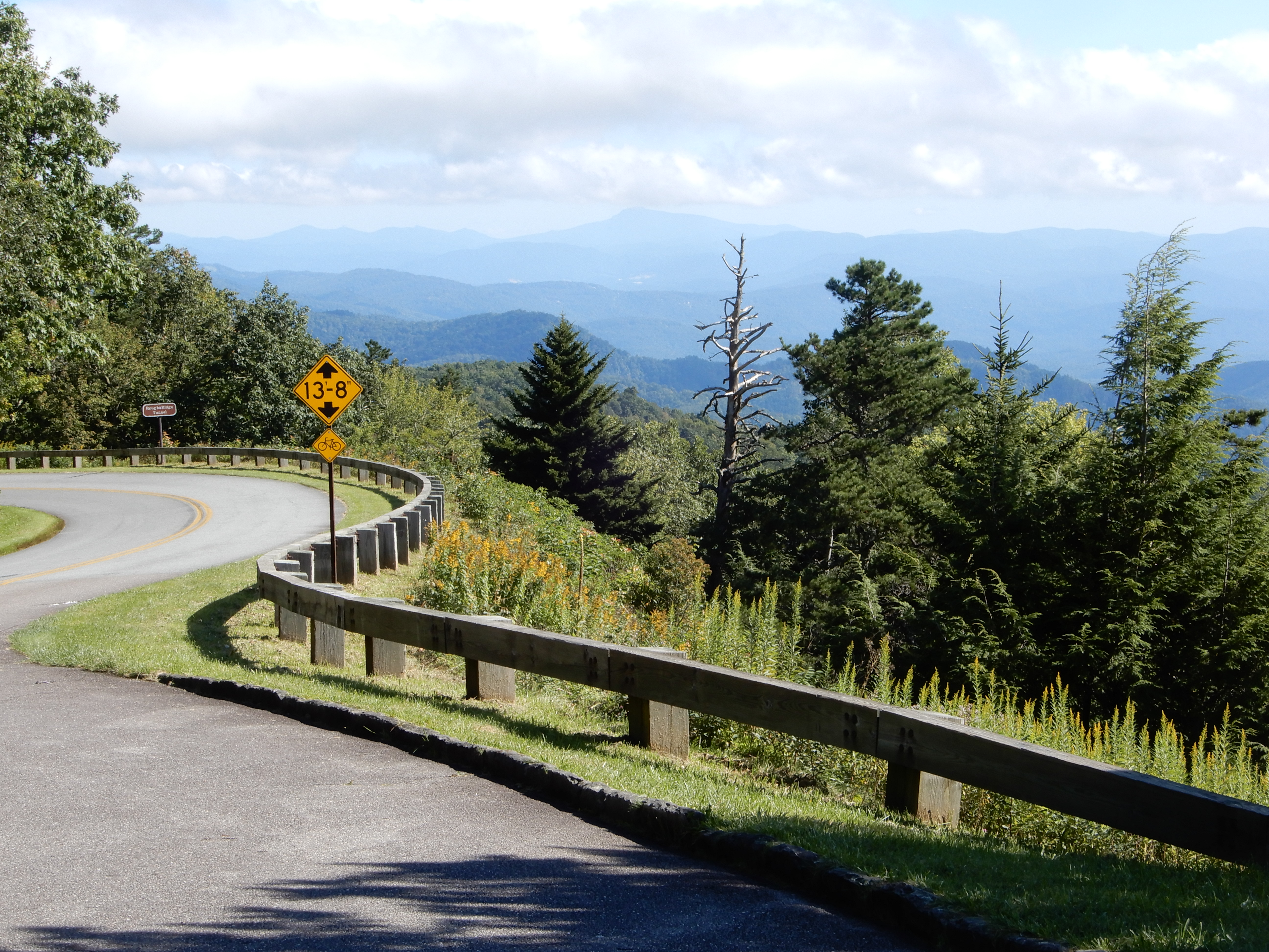
We were out late enough to get some good dusky shots.


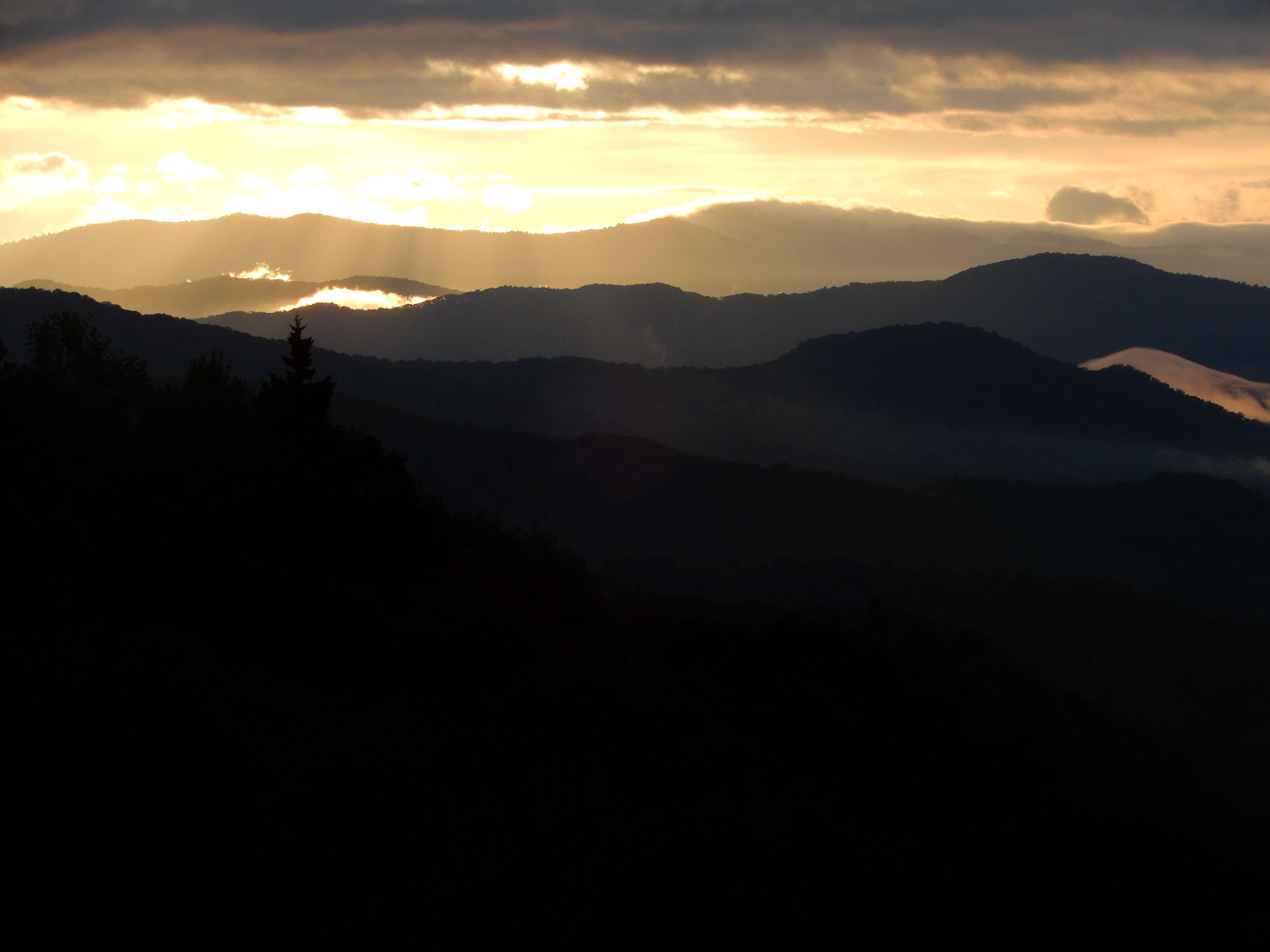
Then it was back to the campground for the night.


Next Location – Smoky Mountains National Park, Smokemont Campground 2, North Carolina

American Locations 17 – In and Out of Smoky Mountains National Park, North Carolina


Reaching the south terminus of the Blue Ridge Parkway, which ended inside the Smoky Mountains National Park, we turned onto 441 and drove to the Oconaluftee Visitor Center. We ate lunch in the parking lot, then went in for some information.


We then walked through the pioneer village.


There is a sizable elk herd there, which we viewed from a distance.


We drove out of the park into Cherokee. Outside of town we found a private campground, River Valley, and set up in a beautiful site alongside a roaring mountain river.


The next morning we drove west out of Cherokee to Fontana Lake.


We drove across the dam.


We drove on into the park.


We drove along the river a long ways. On the way back we stopped by a boat ramp for lunch.


After lunch, we drove deeper into the park.


We got high enough we had a good view down on Fontana Lake.


We drove out of the park, then headed east from Fontana to Bryson City. We got a site for 2 nights at Grumpy Bear Campground outside of Bryson City since it was supposed to rain for 2 days.


The river we were camped on was scenic.


There were people fishing.


And kayaking.


We rested a while, then drove through Bryson City.


Then back into the Park.


Where like everywhere else the waters were raging from all the recent downpours.


We drove on The Road To Nowhere. The fog really made it look like nowhere.
One thing we did see was a bear. It was a baby, climbing over a guardrail to disappear in the trees. Never saw the mother.


We gained elevation the further we drove.


At the end of the road we saw a group of people hiking on into the park, but we’d had enough. We turned around and drove back to our campground and relaxed for the rest of the day.


Next Location: Smoky Mountains National Park, Smokemont Campground, North Carolina

American Locations 16 – Driving off the Blue Ridge Parkway, North Carolina


Early morning we left Mt. Pisgah Campground and continued south on the Parkway. This was the highest most rugged part of the Parkway – a great drive. We continued to go through a lot of tunnels. We pulled over for many overlooks.


One of which was the highest point on the Parkway at 6050 feet.


From this point we started coming down fast.


We passed this unusual mountain.


And this flat-top.


Down, down, down.


Stopping to look back.


We stopped at the visitor center at MM451.


From there we could see the Smoky Mountains.


Our time on the Blue Ridge Parkway was over.


Next Location – In and Out of Smoky Mountains National Park, North Carolina

American Locations 15 – South on the Blue Ridge Parkway, North Carolina


Early the next morning we drove out of the campground to the visitor center to take an easy 1-mile hike to Linville Falls.


We saw several small falls.


After, we continued south on the Parkway.


Stopping at several overlooks.


At one stop this dead tree caught my eye.


These are the kind of views you come upon while driving. Very hard to keep your eyes on the road.


We pulled over to see this waterfall in the distance.


I zoomed in for a closer shot.

On this stretch of the road we went through several tunnels.


We pulled into the Museum of North Carolina Minerals, but it was closed. We drove around Crabtree Falls, but the campground was closed. We pulled into Glassmine Falls overlook (it was open! Yea!) for lunch, then took a short walk to view the distant falls. It started out easy.


The trail grew rockier.


We got beyond the rocky stretch.


The trail broke out into an open stretch.


Which provided scenic views.


Then it was back into the trees.


To a very disappointing dry falls.


Anyway, it was still a nice hike. We drove on to the Craggy Gardens Visitor Center.


Which provided some nice overlooks.


We continued south on the Parkway on a very scenic stretch, perhaps the best yet. We turned off the Parkway into Asheville for gas and groceries, then hopped right back on. North and south of Asheville the traffic was heavy, but as we continued south away from the city it got lighter. There were a lot of tunnels on this stretch, several long ones. We pulled over for several more overlooks, then turned into Mt. Pisgah Campground at MM408. We got a site, and after dinner walked around the campground.


Next American Location: Driving off the Blue Ridge Parkway, North Carolina