One day while we were camped at Elkmont we went into Gatlinburg.
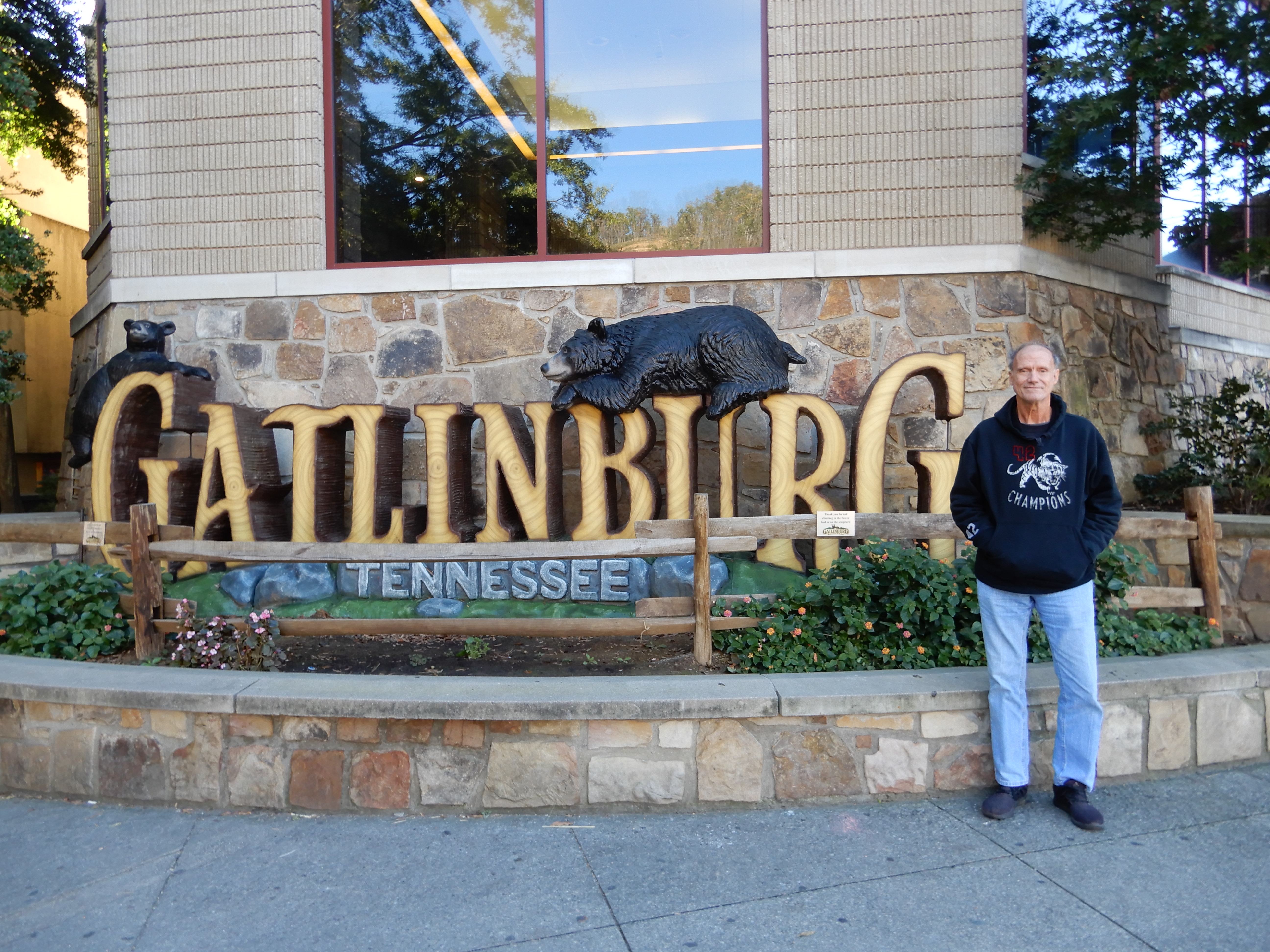
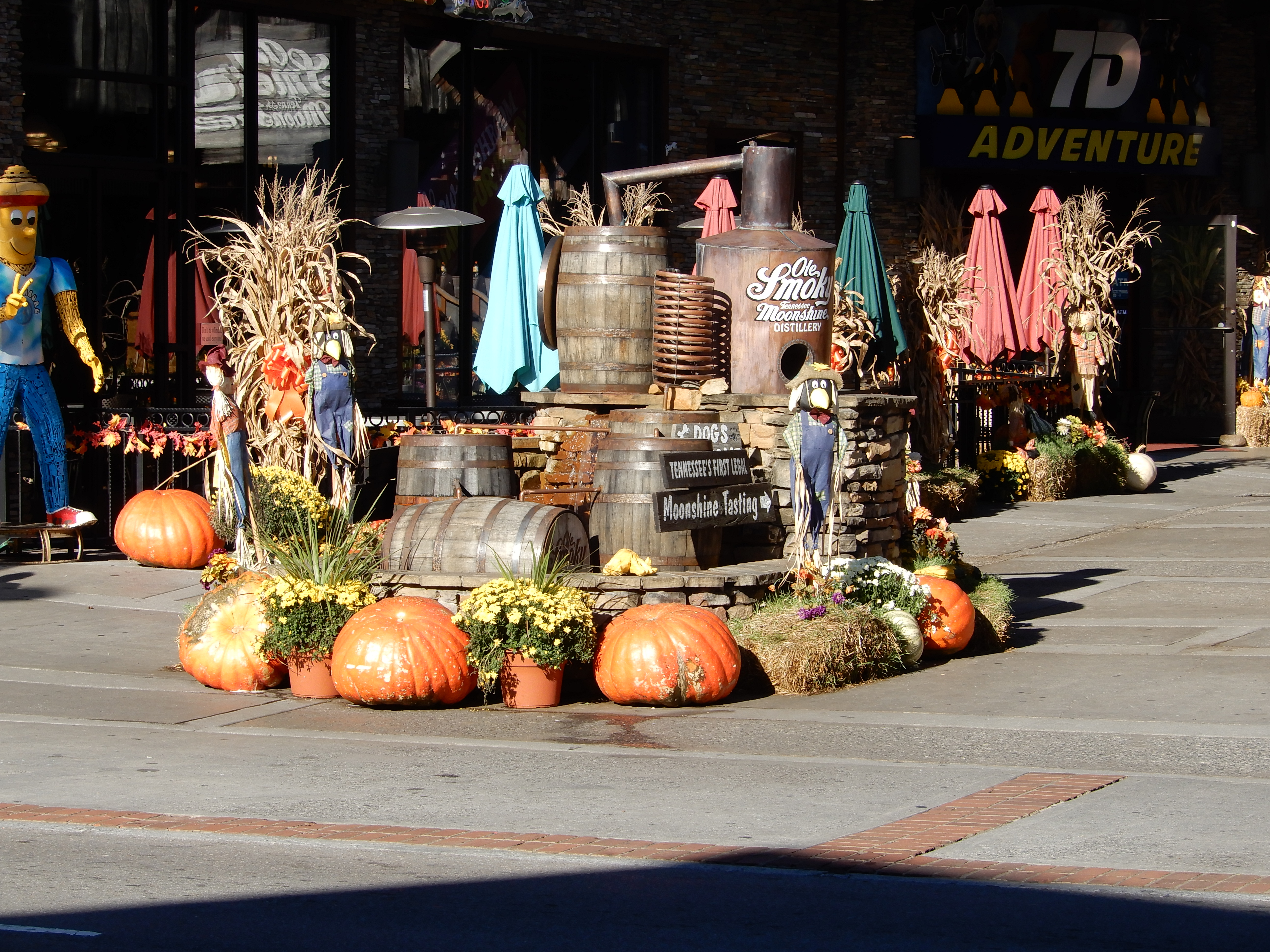
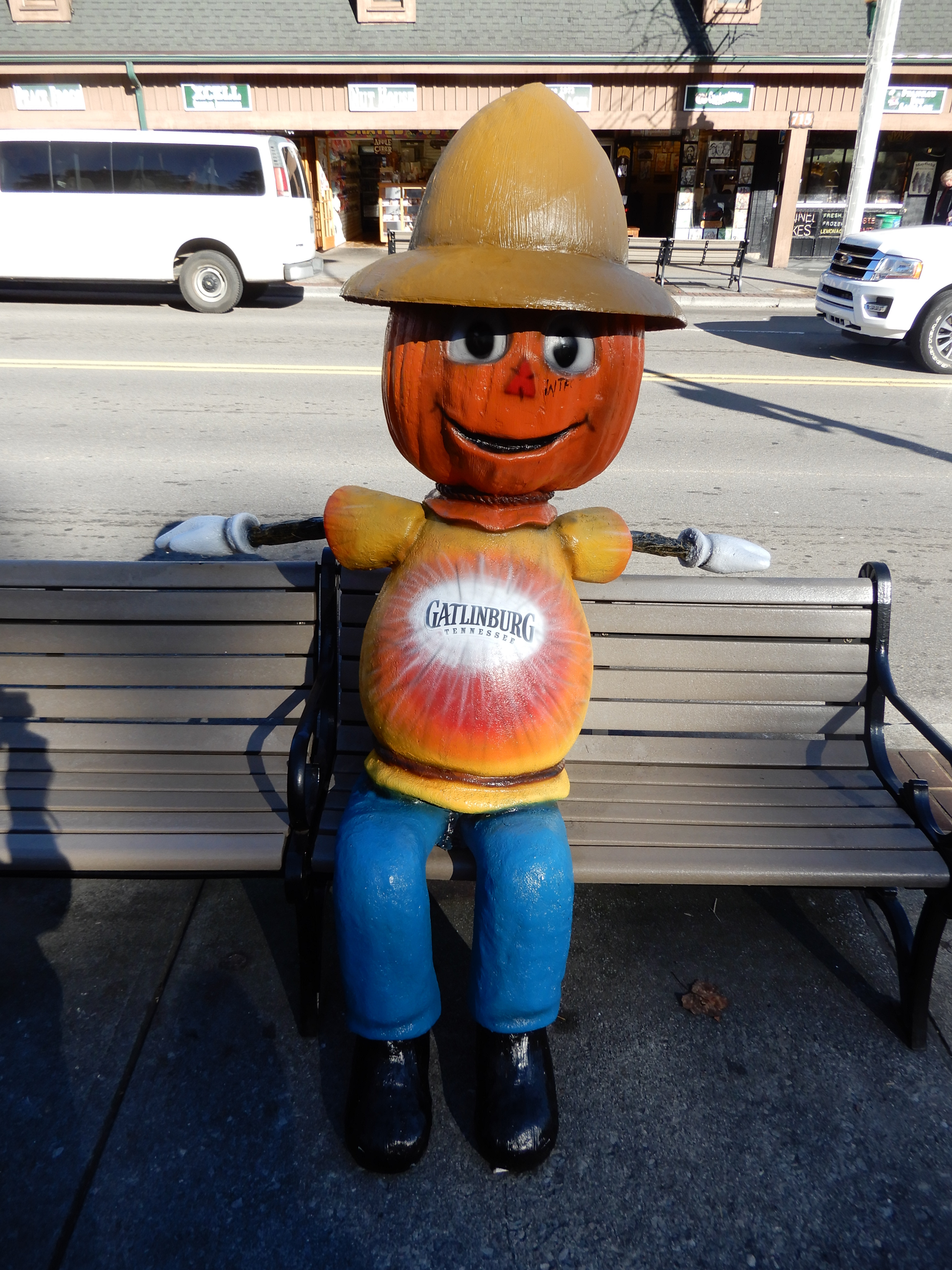
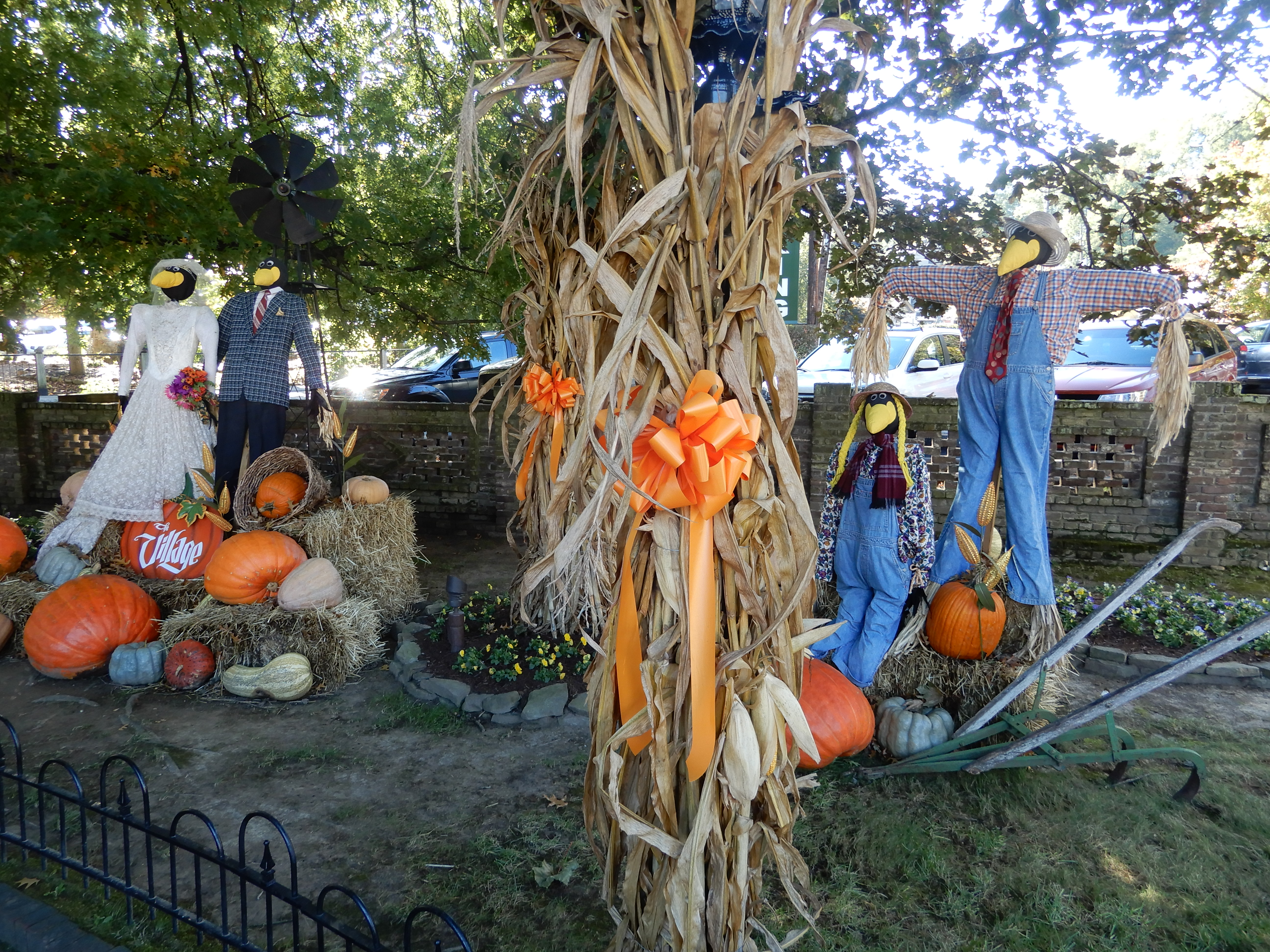
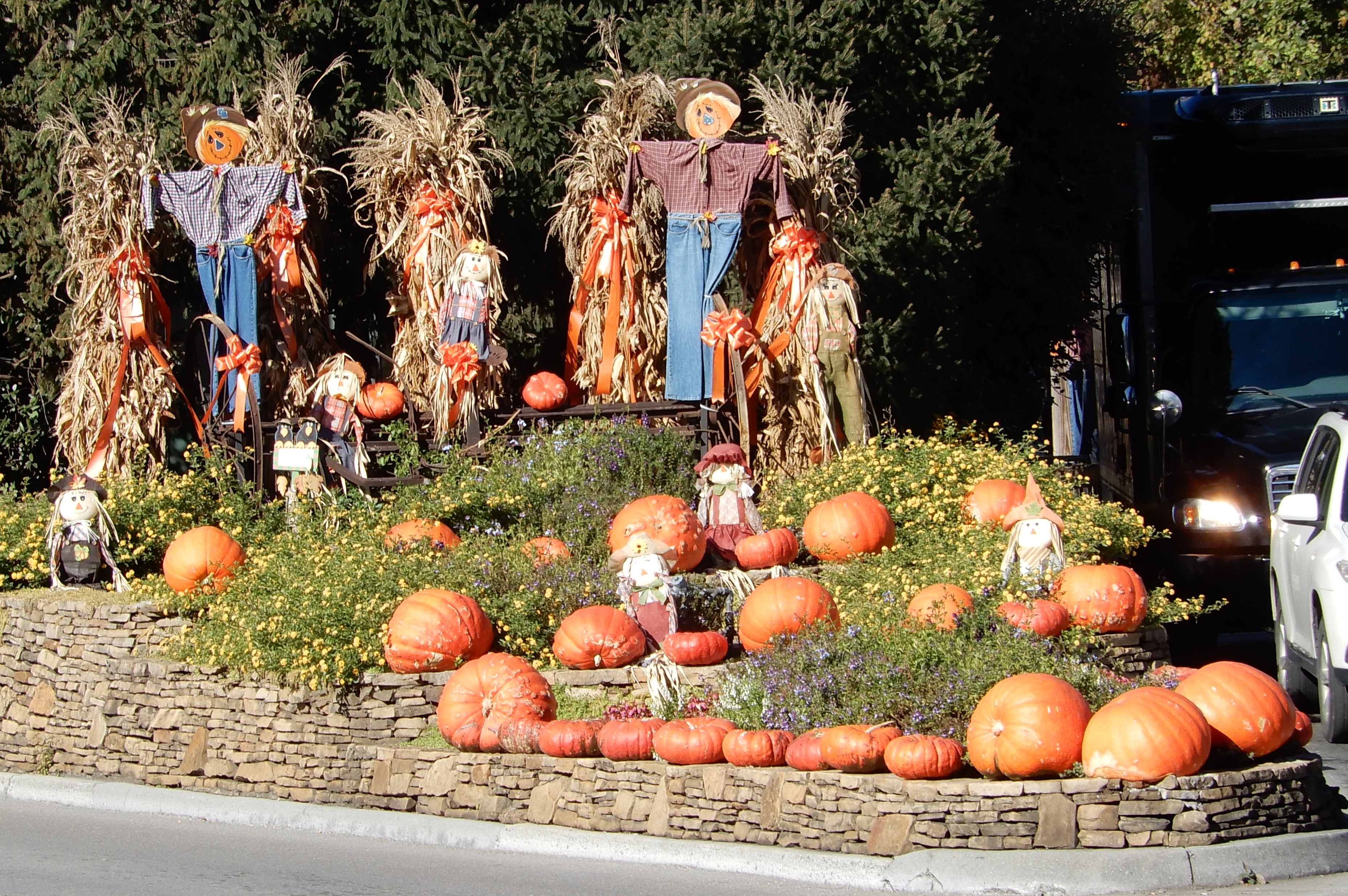
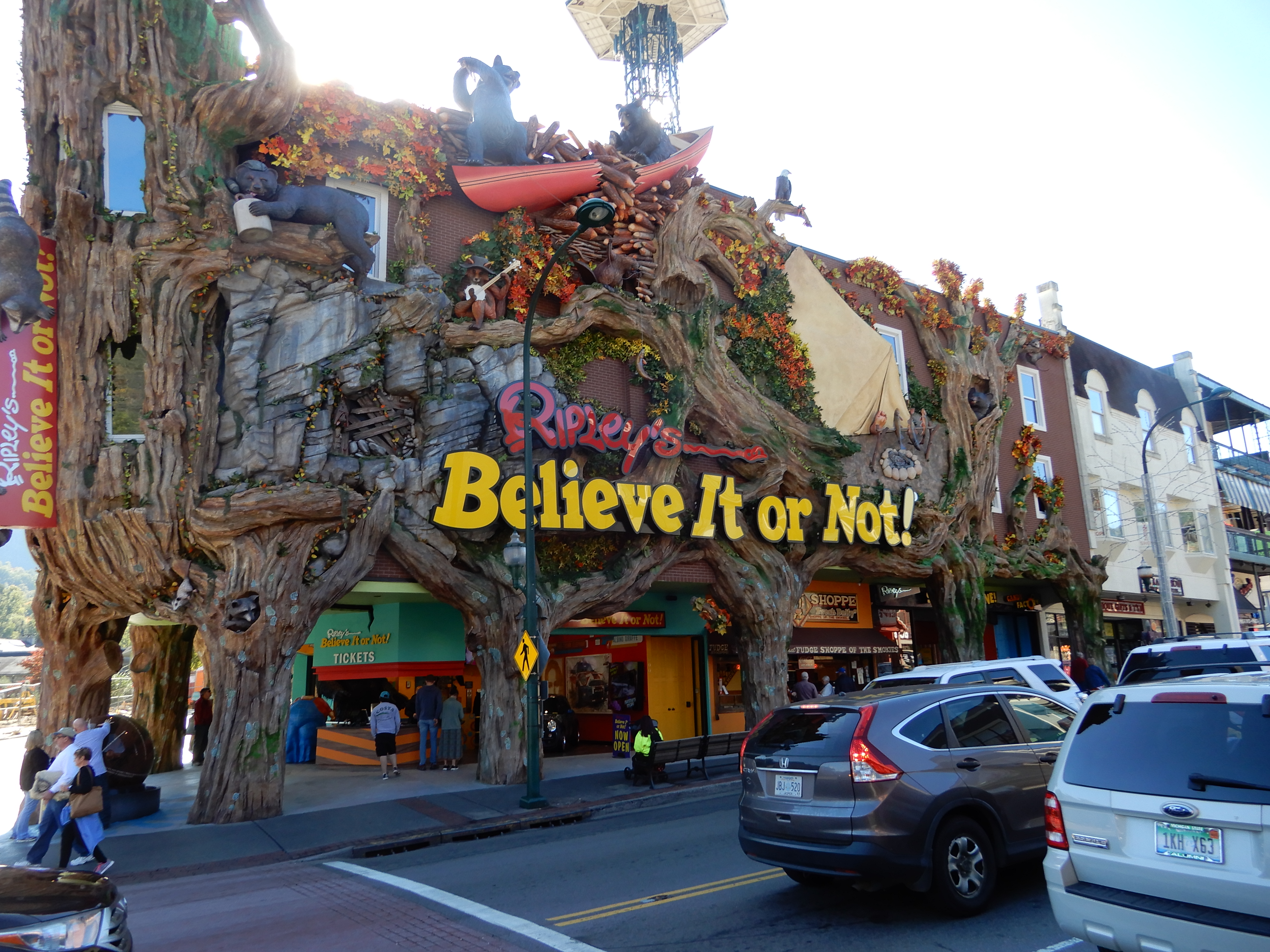
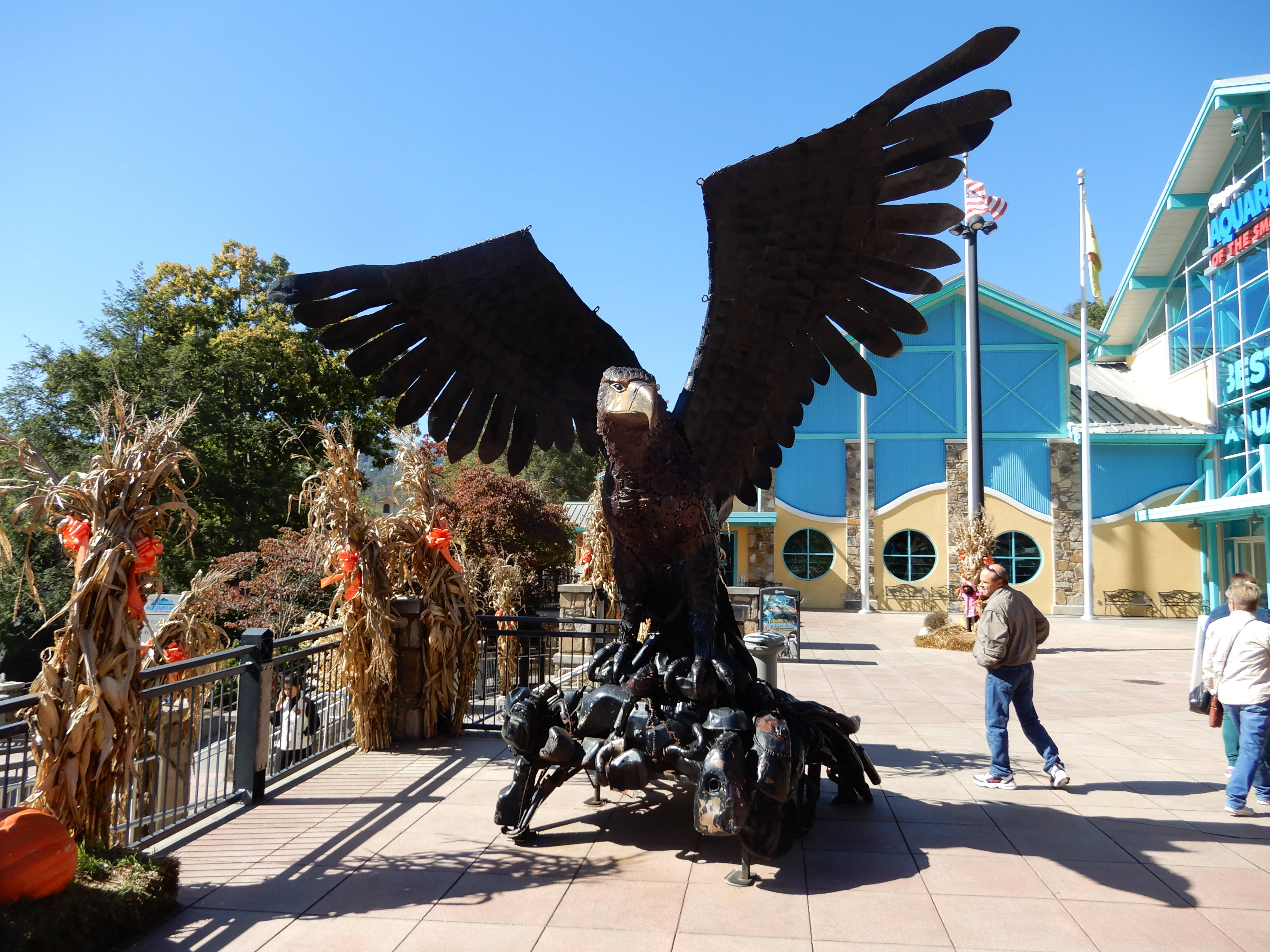
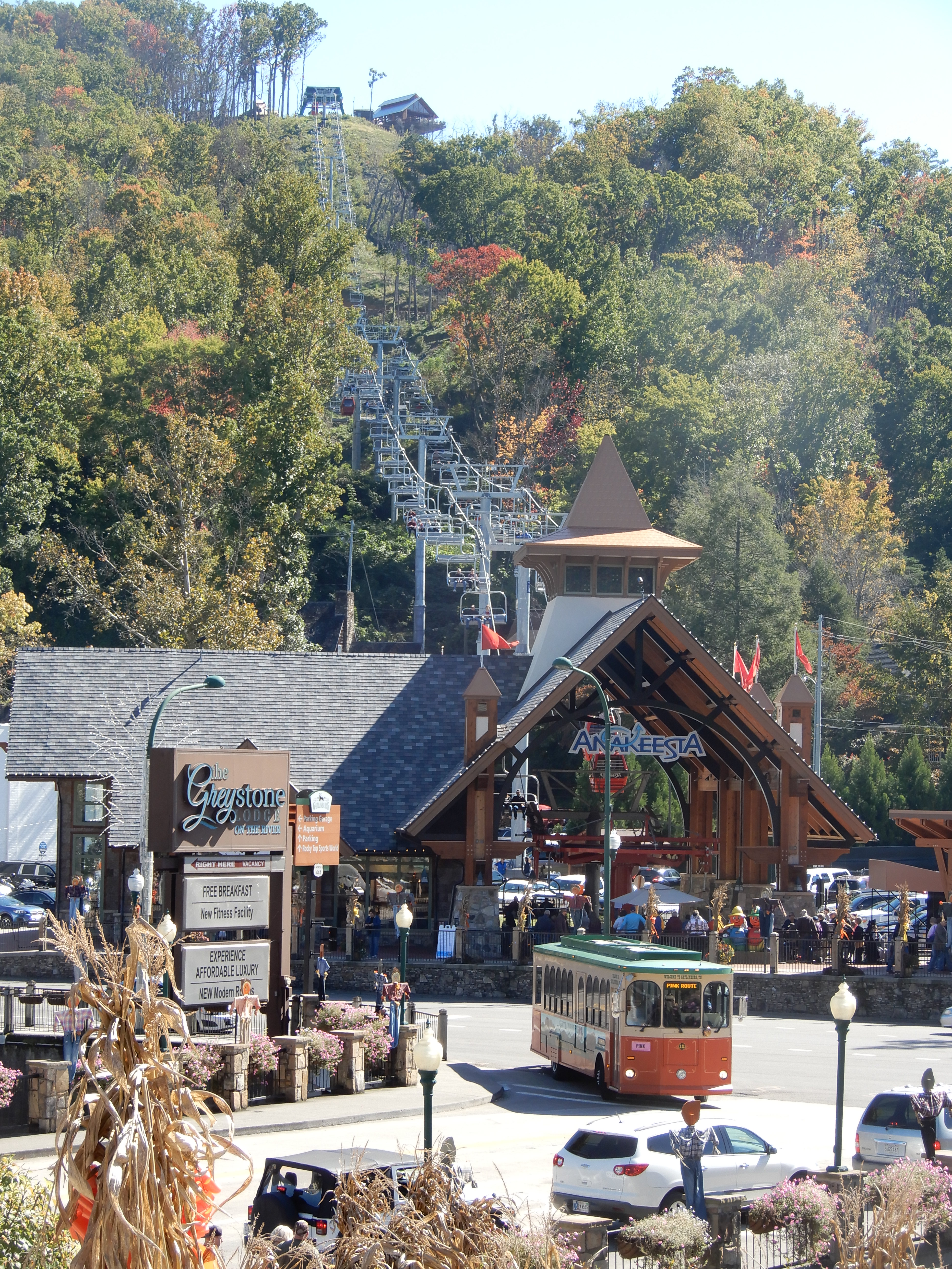
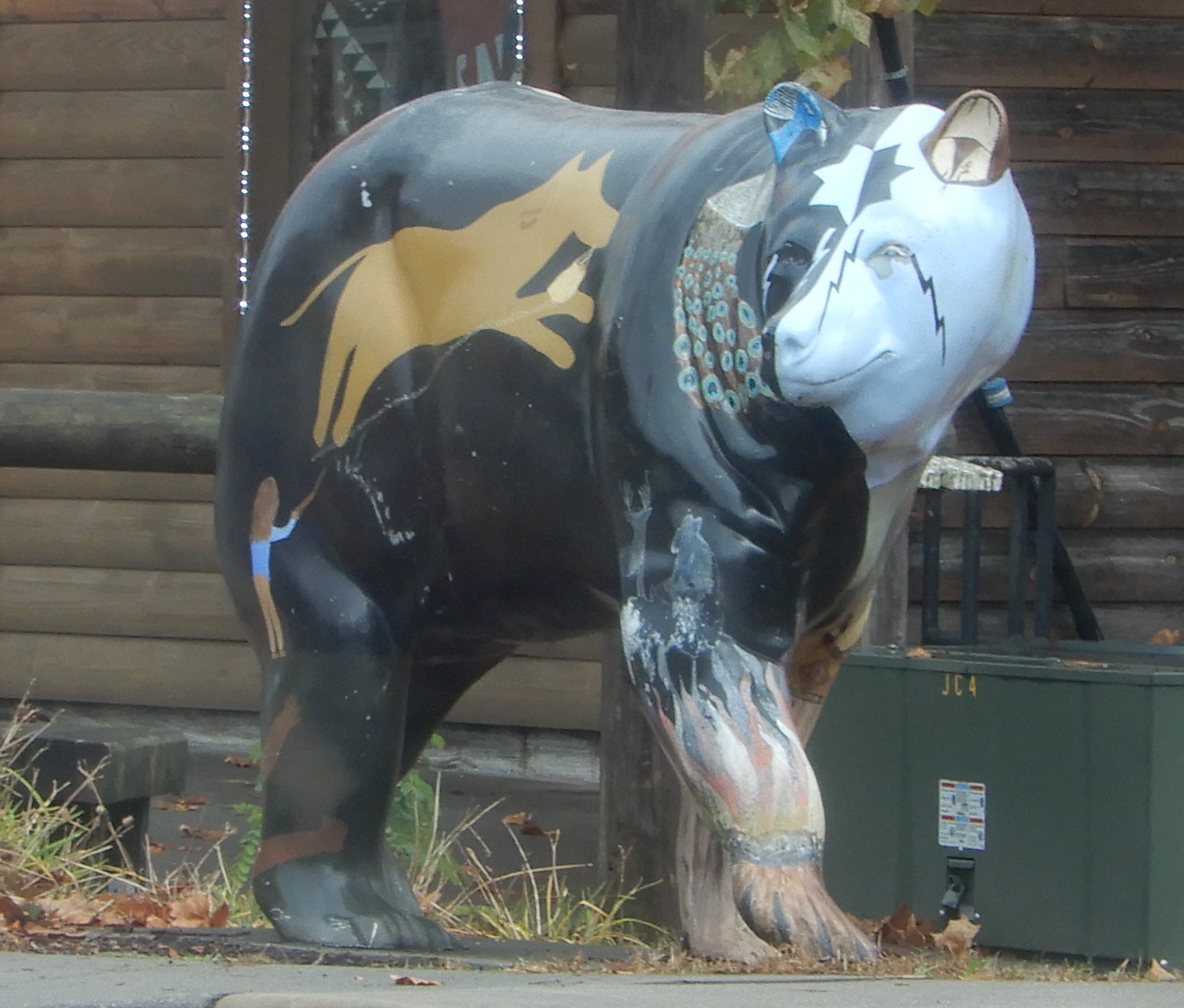
I’d been to Gatlinburg many times, but never at Halloween. The town knows how to decorate.
We walked around to see the usual sights.
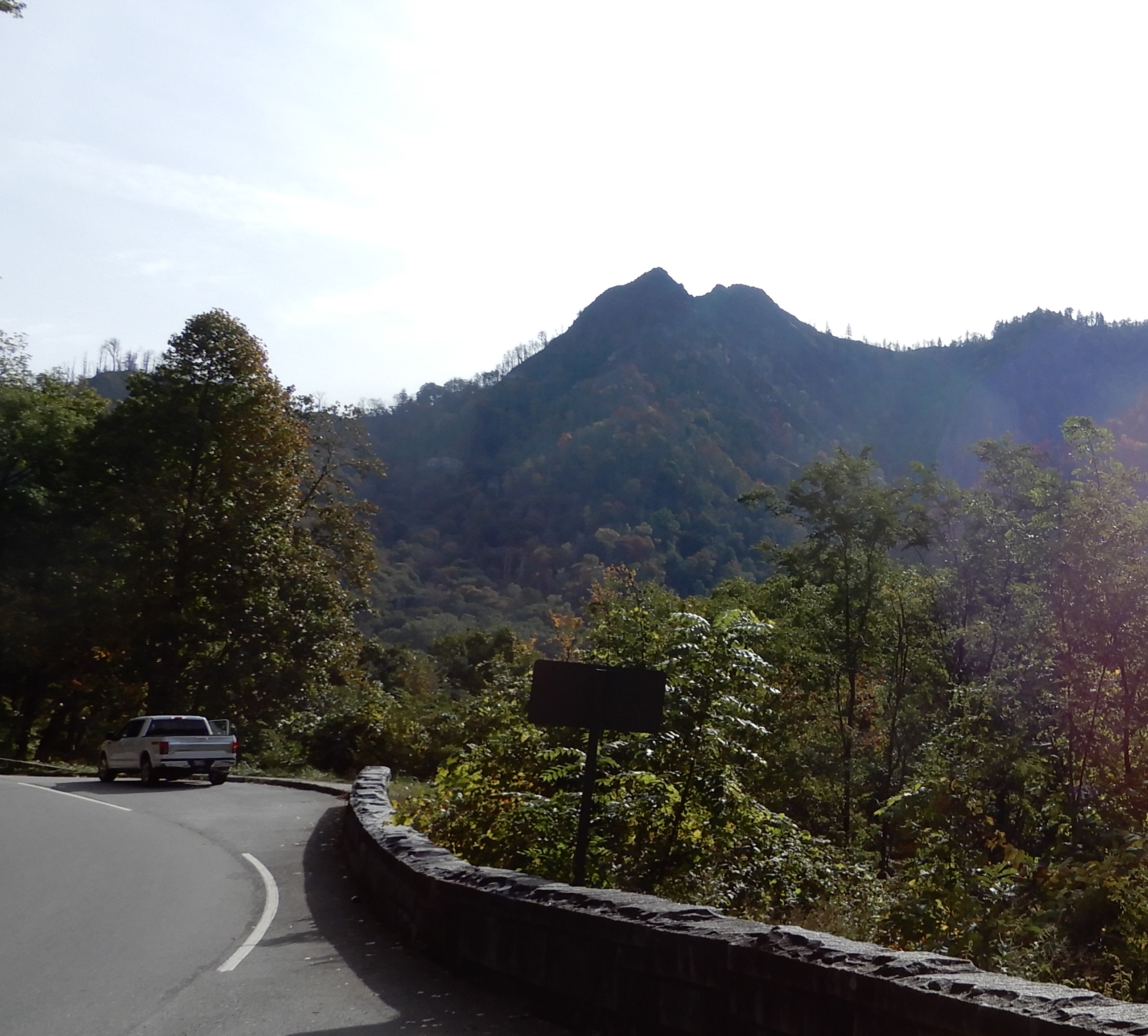
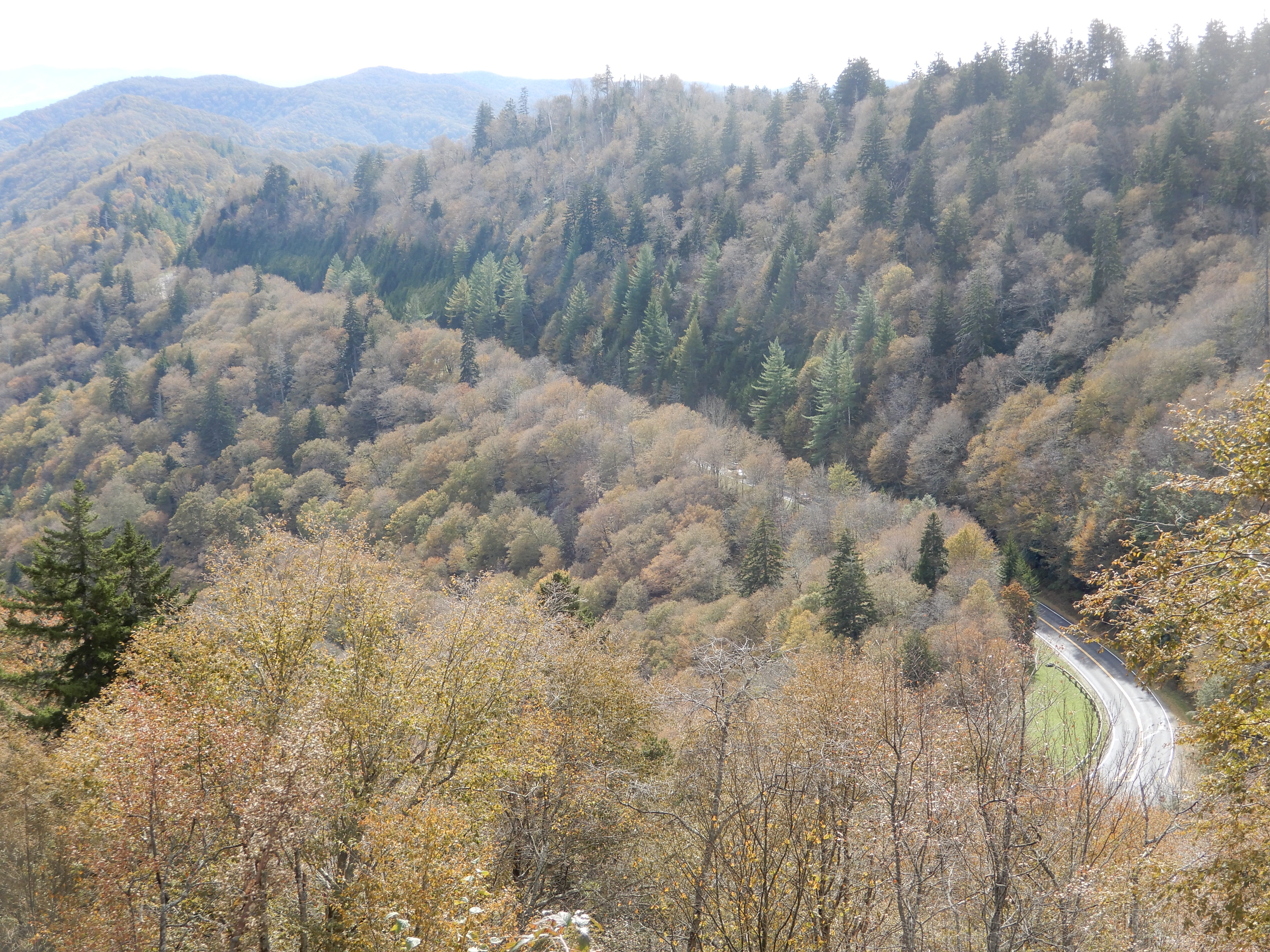
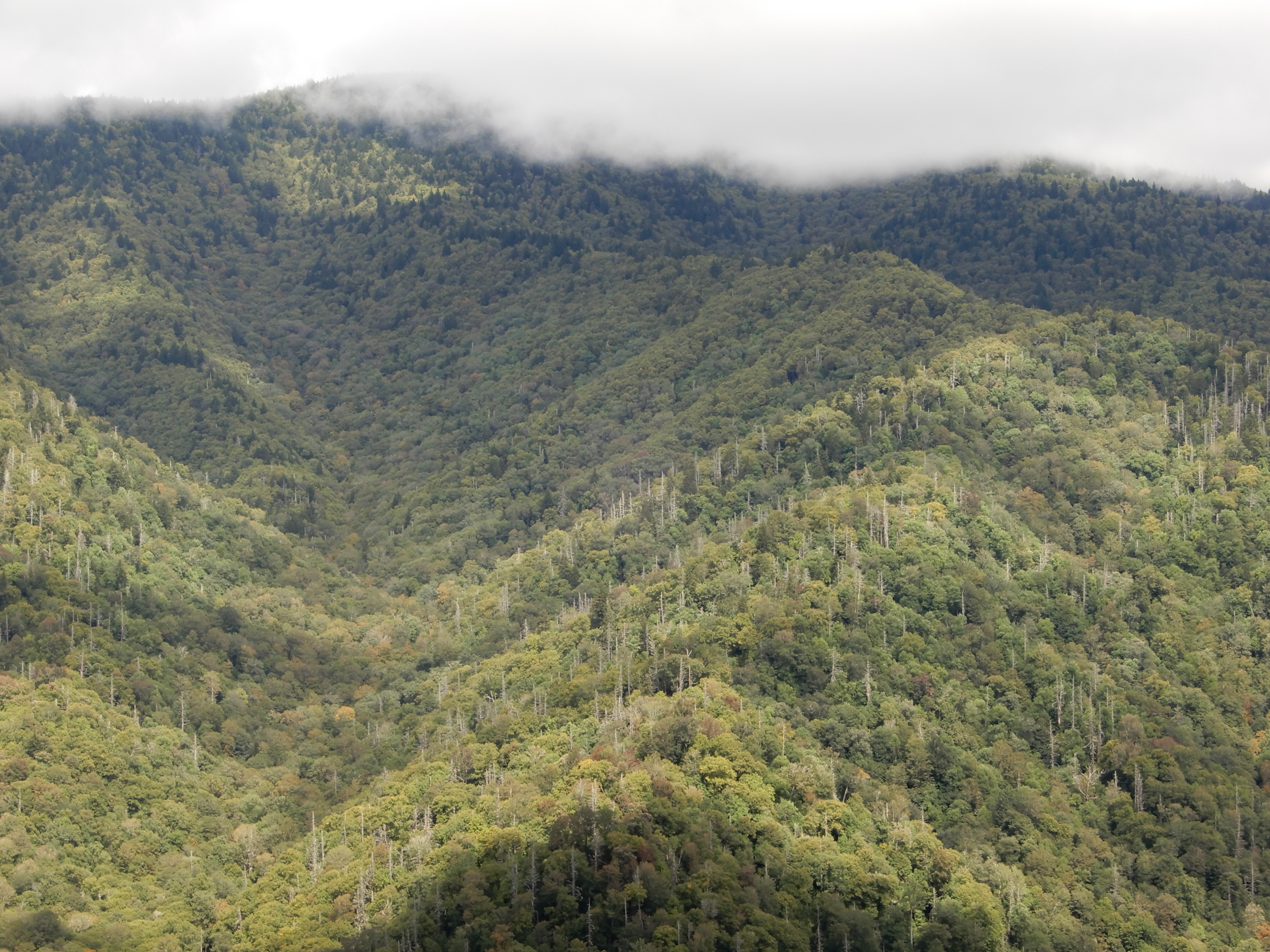
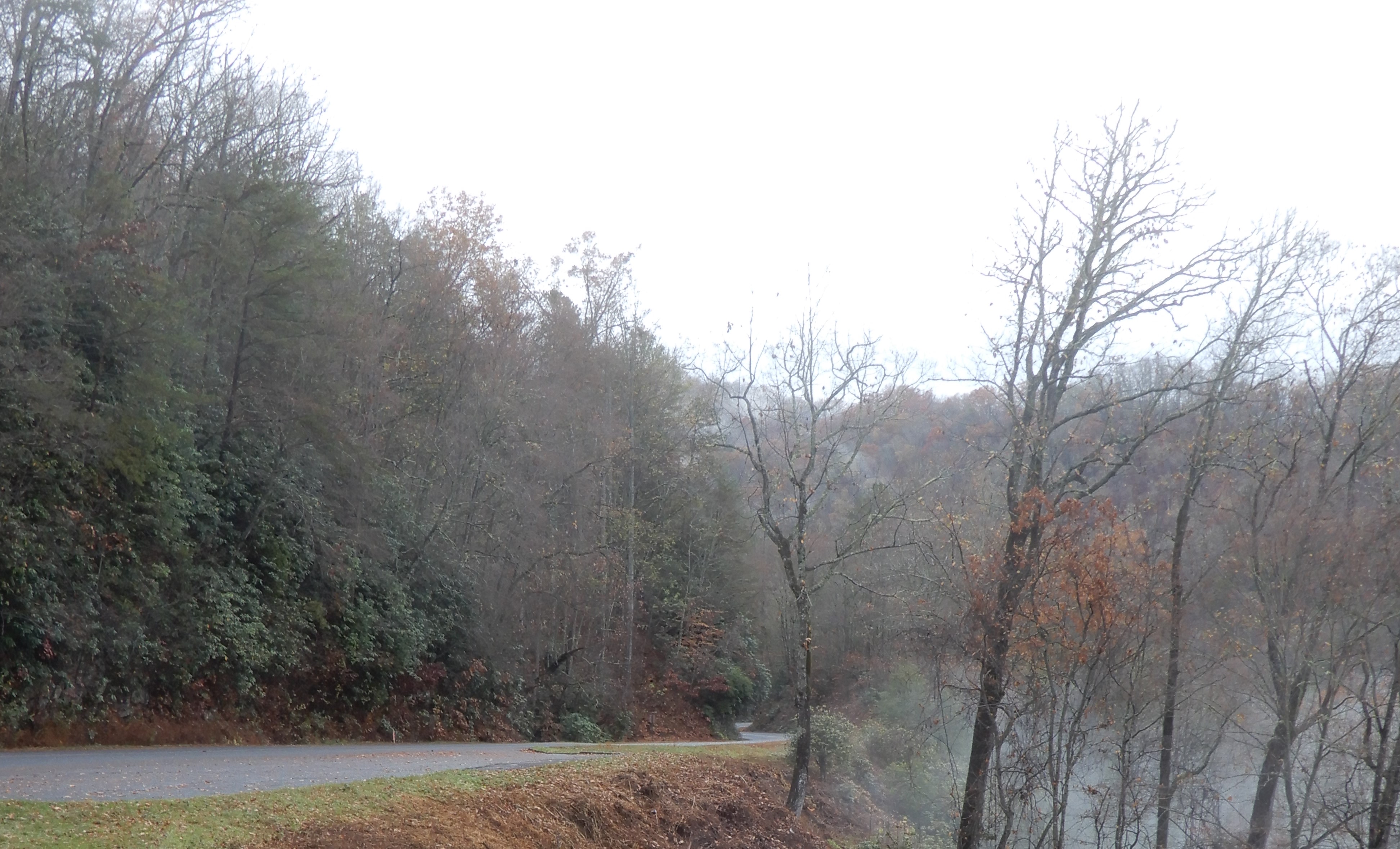
Another day we drove up to Clingman’s Dome. Along the way we stopped to take a look at Chimney Tops. I’ve hiked to the top twice. The trail is steep, but the views from up there are fantastic.
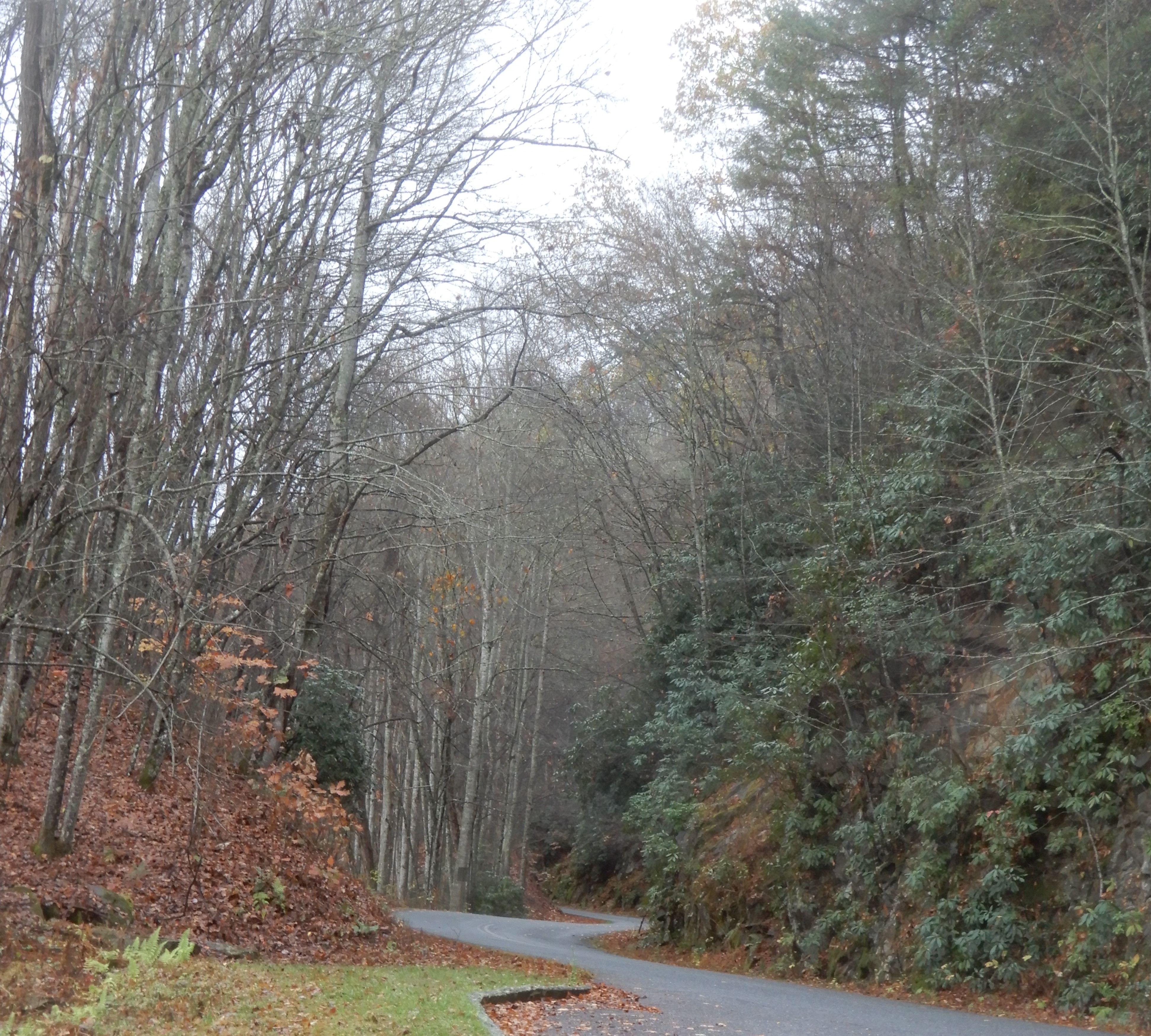
We continued driving up.
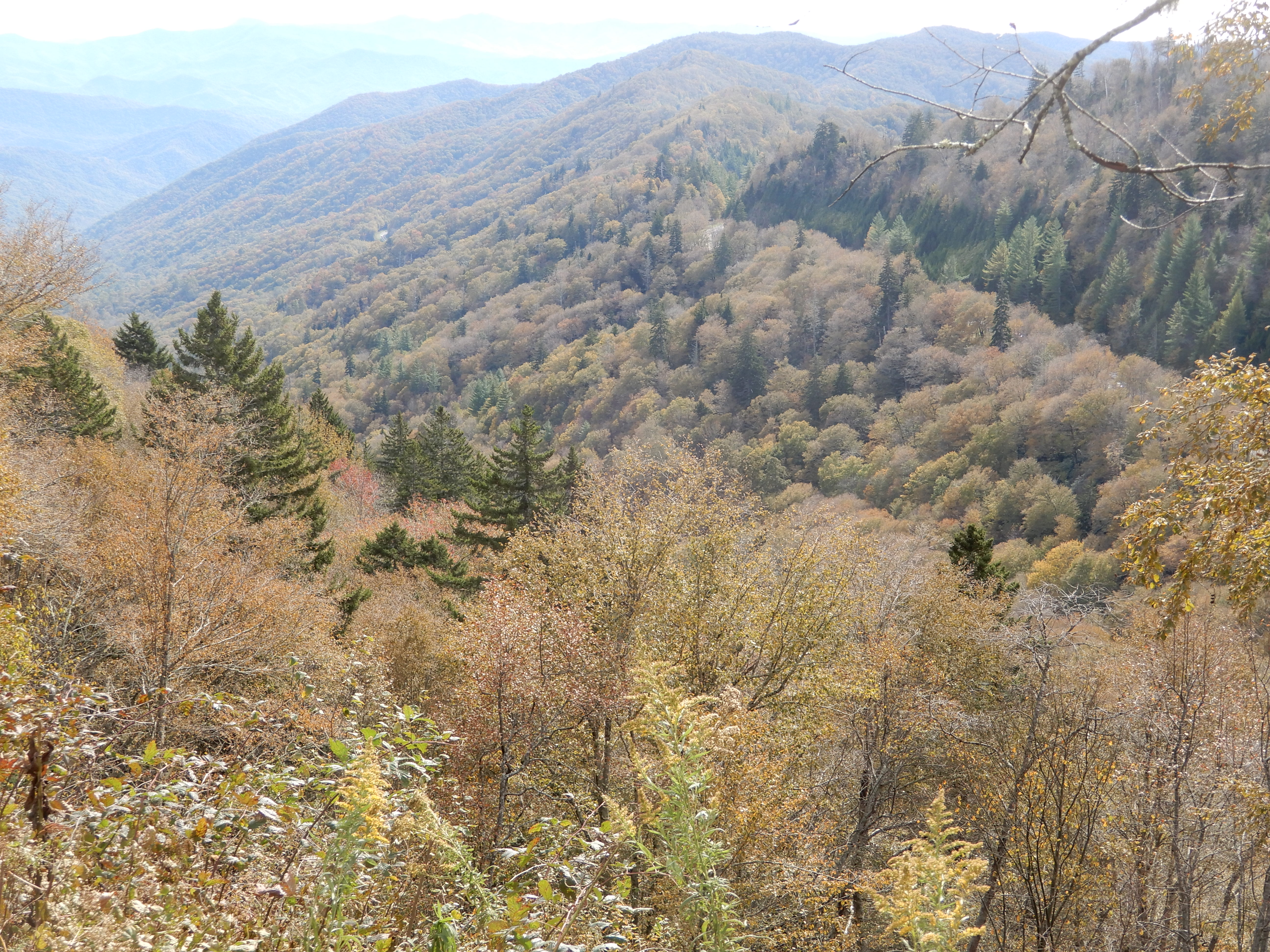
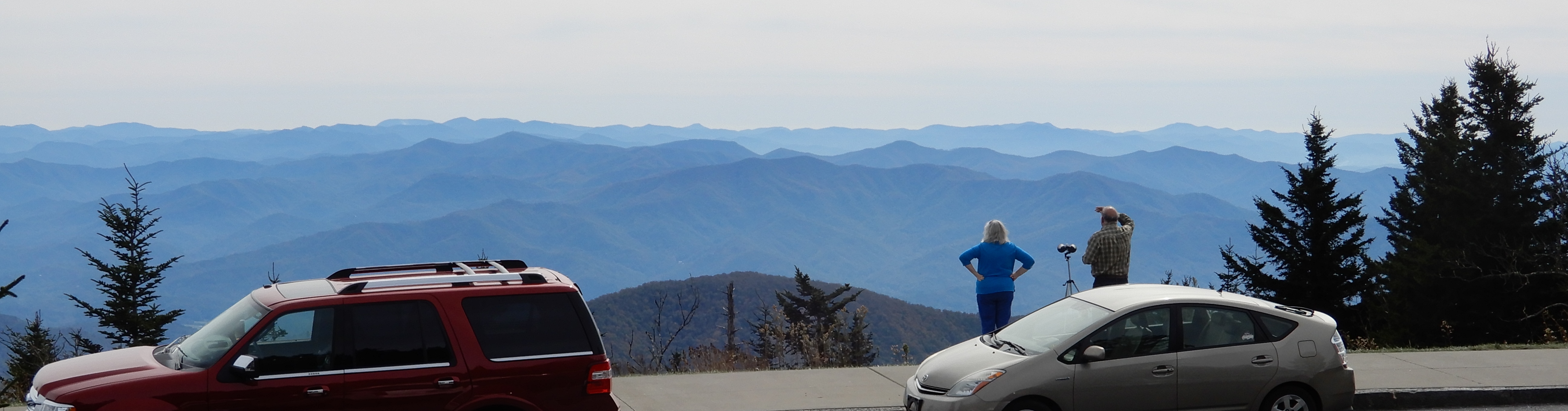
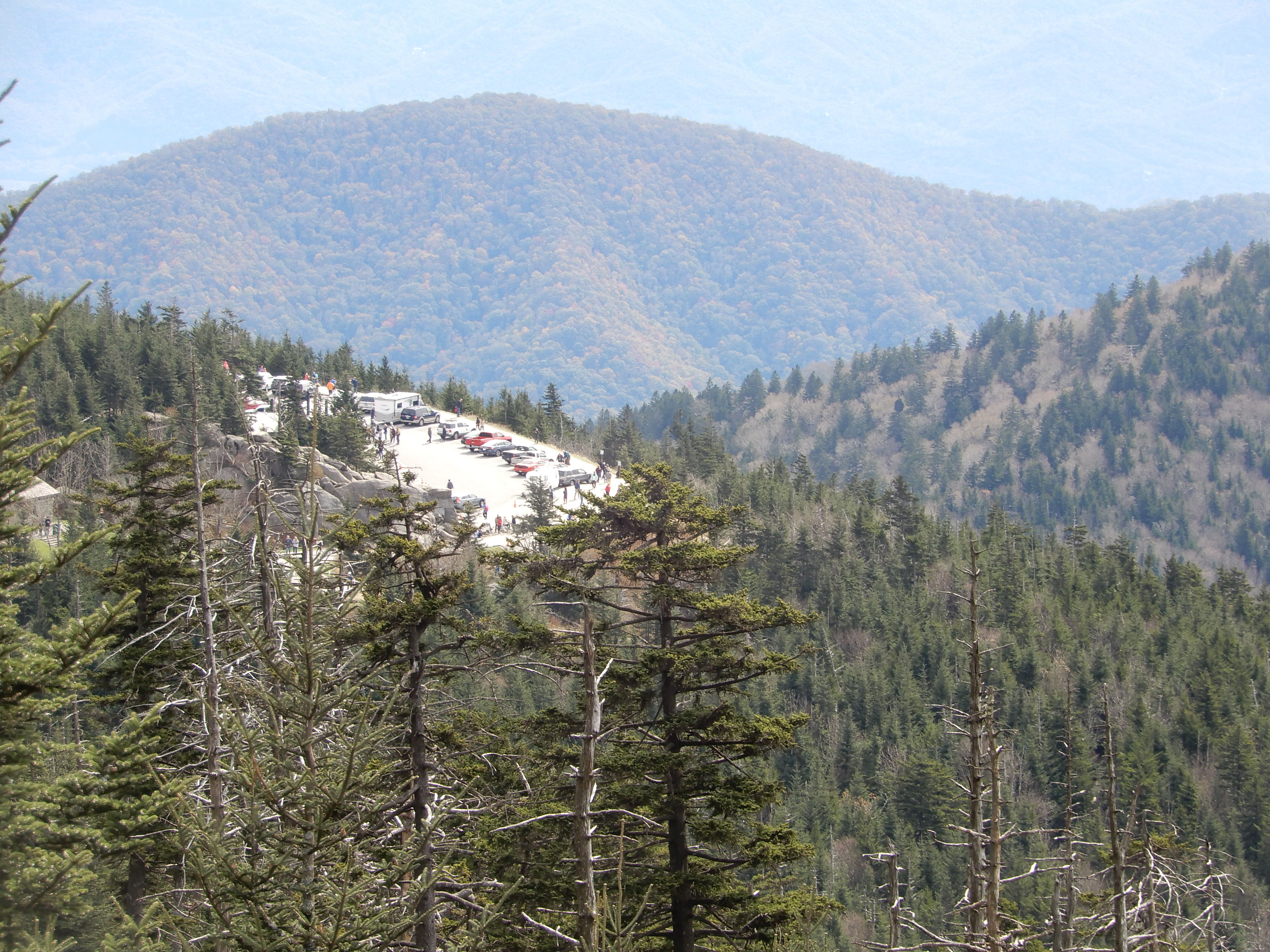
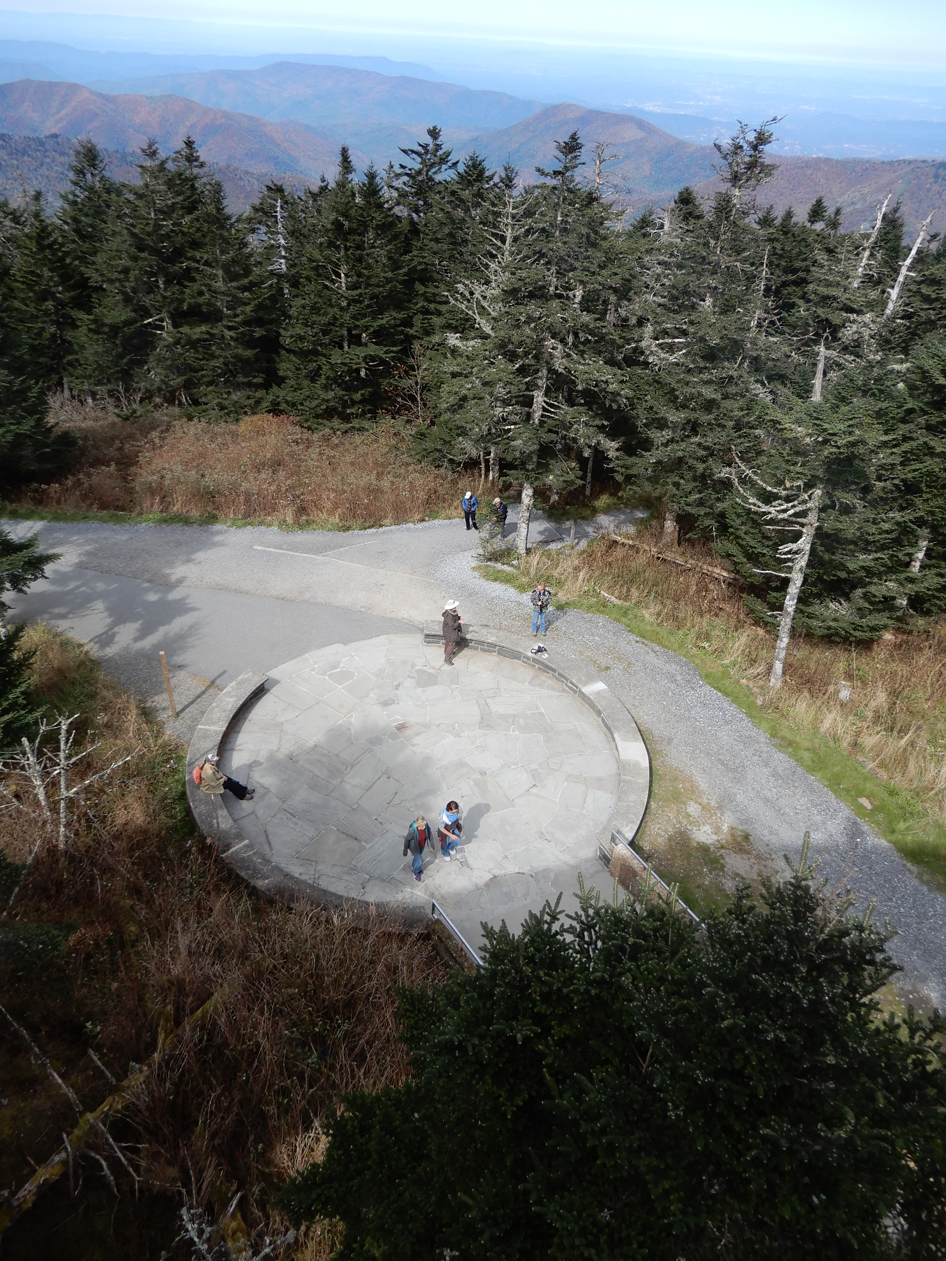
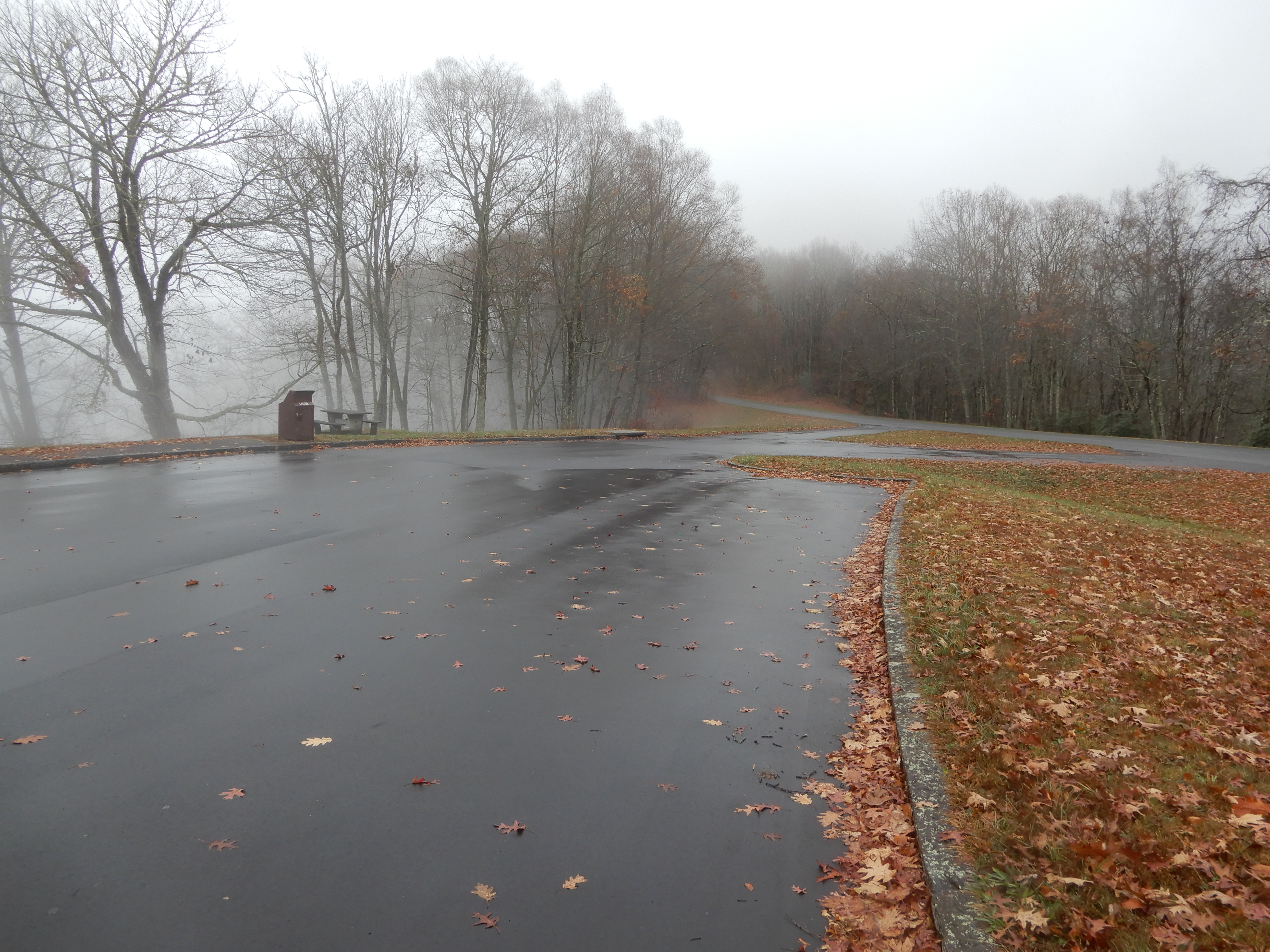
Even better views from the Clingman’s Dome parking lot.
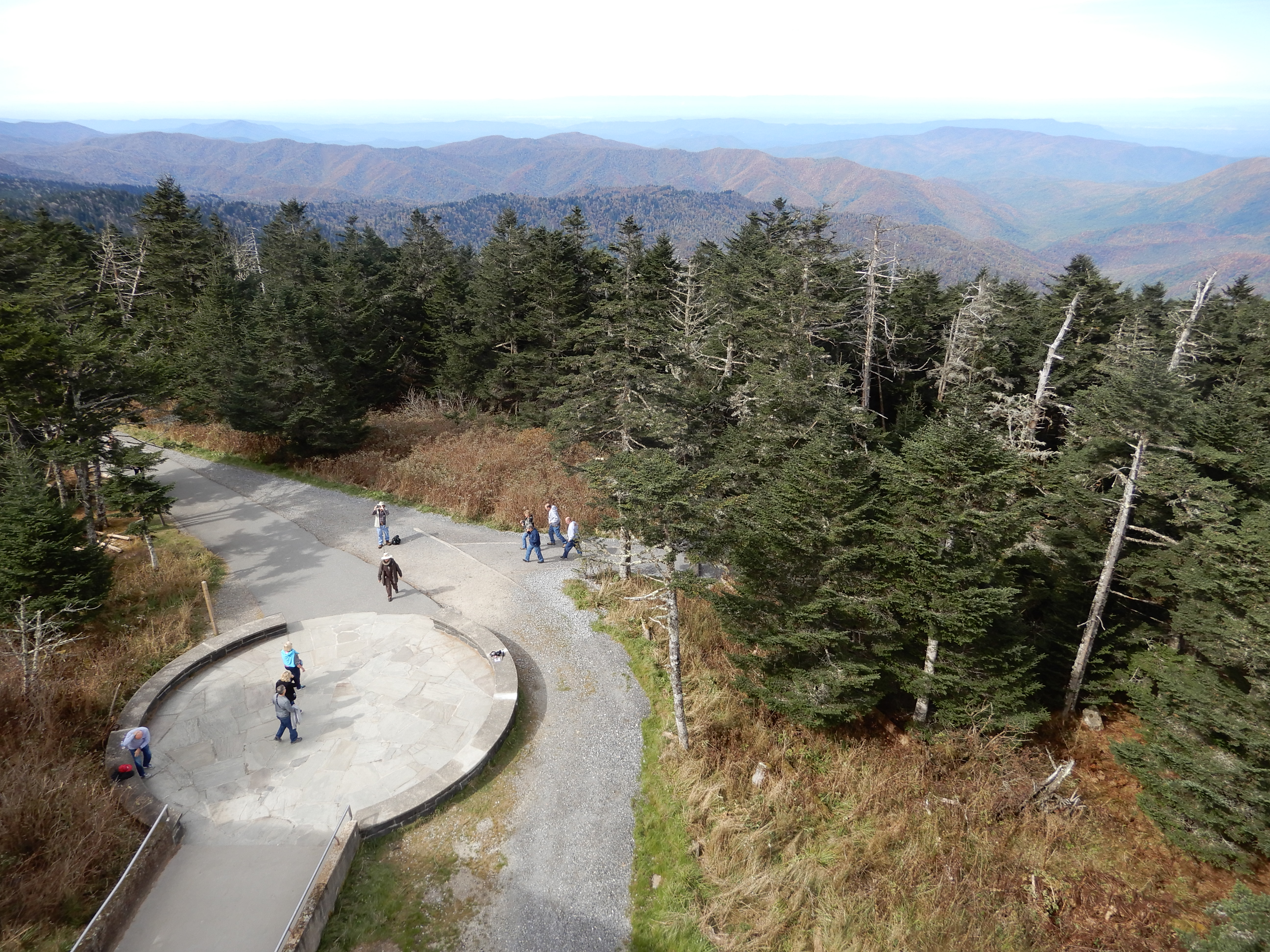
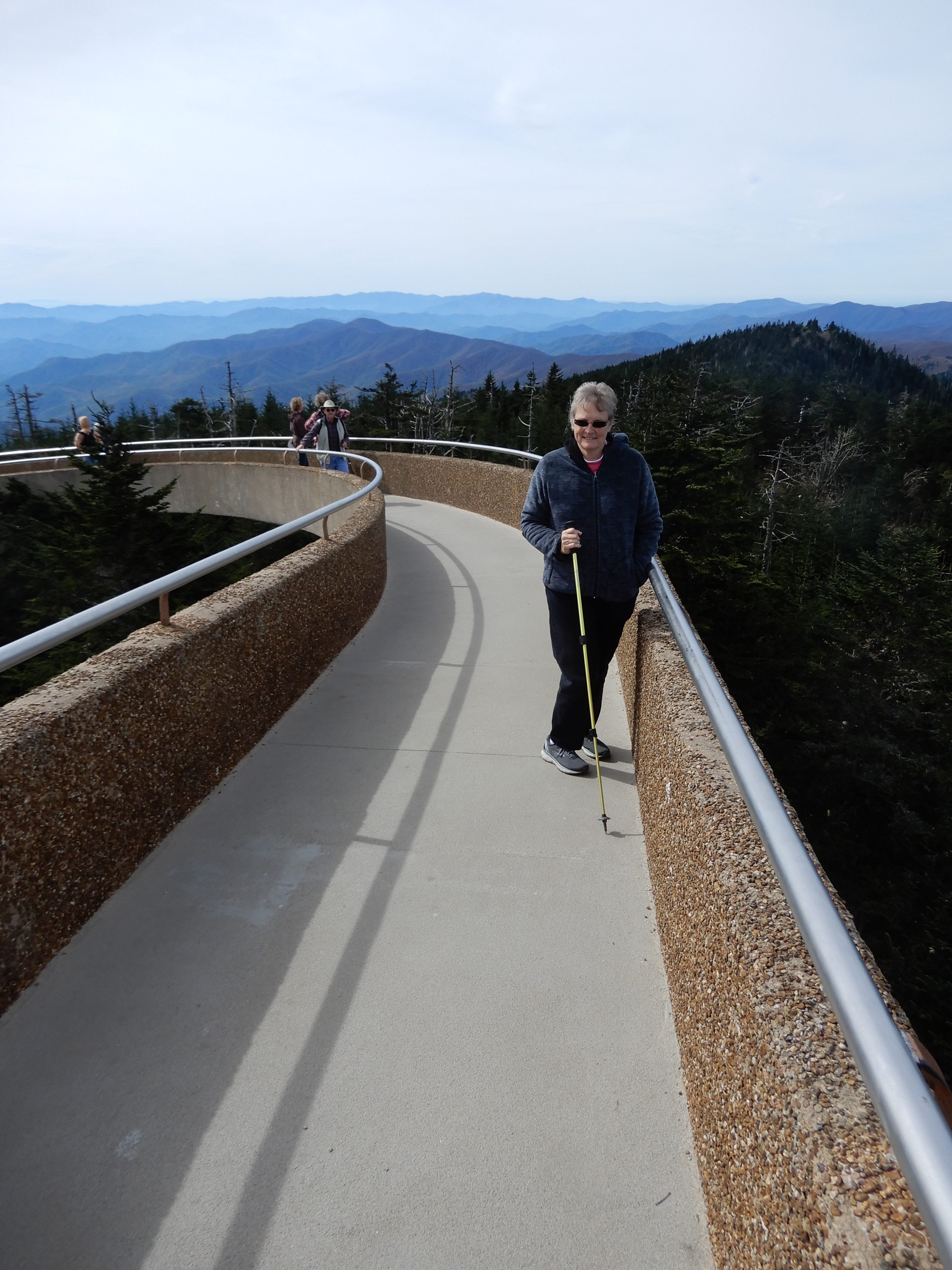
Walking up to the Dome gave even better views, like this one gazing down on the parking lot.
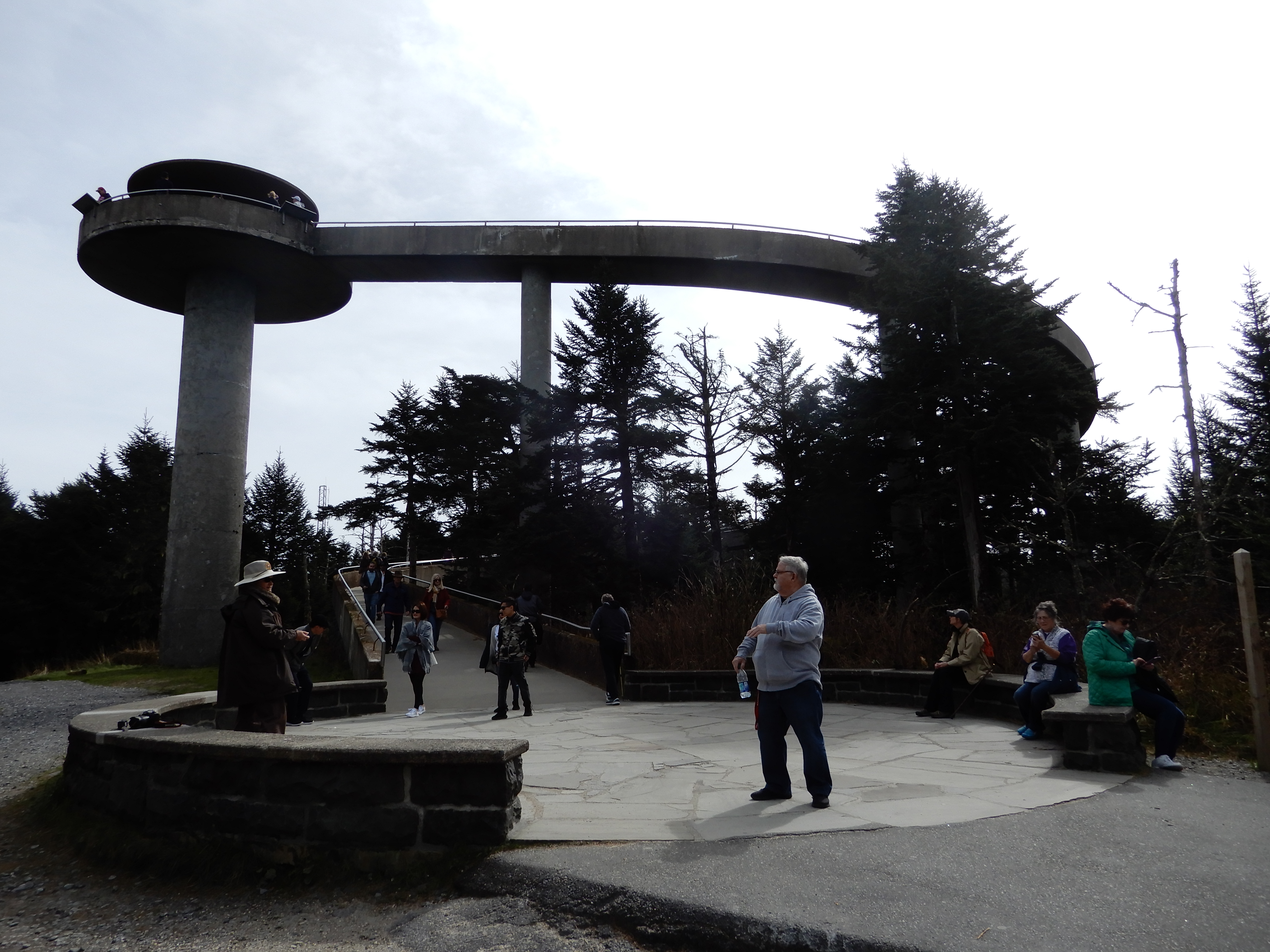
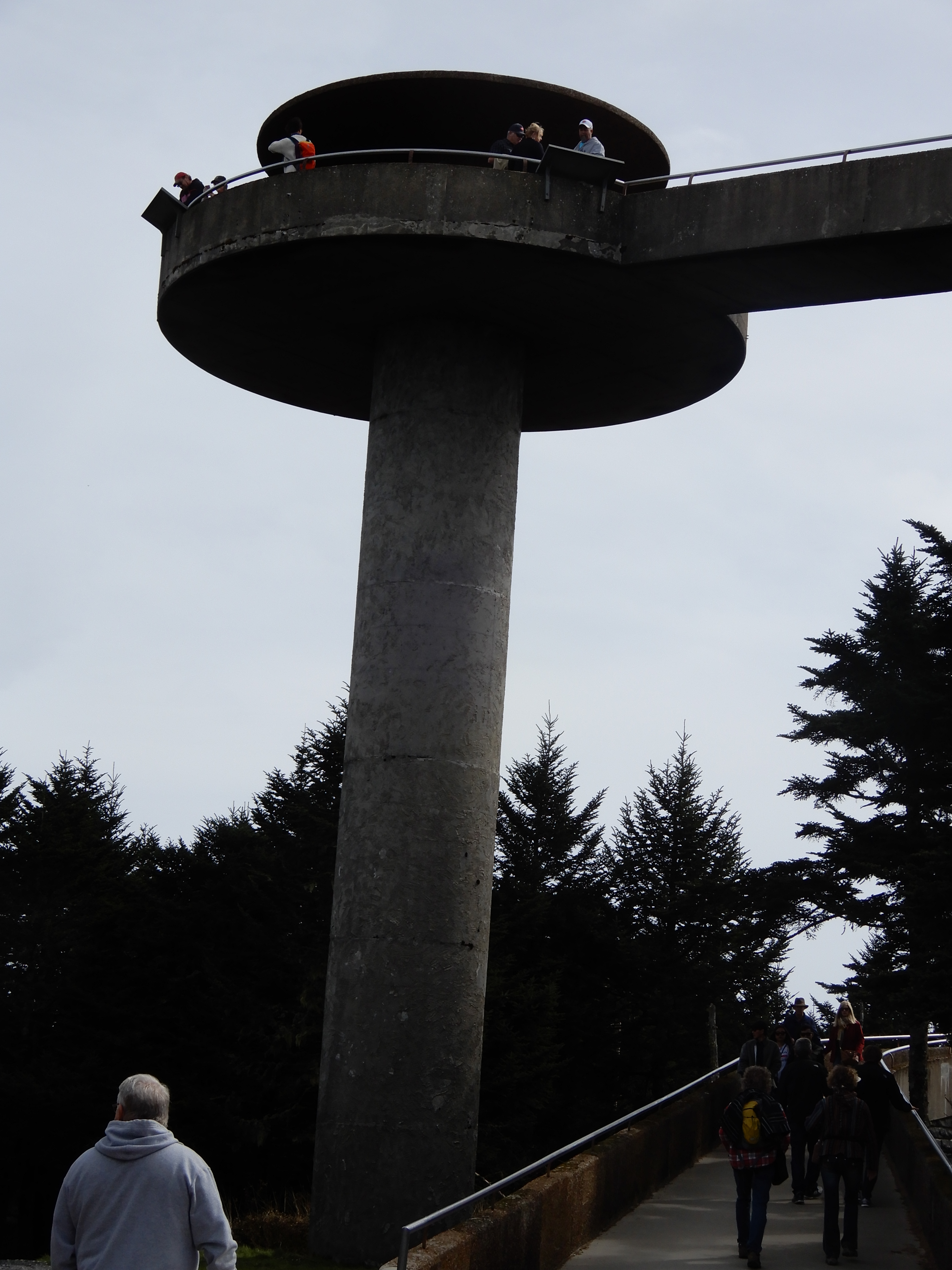
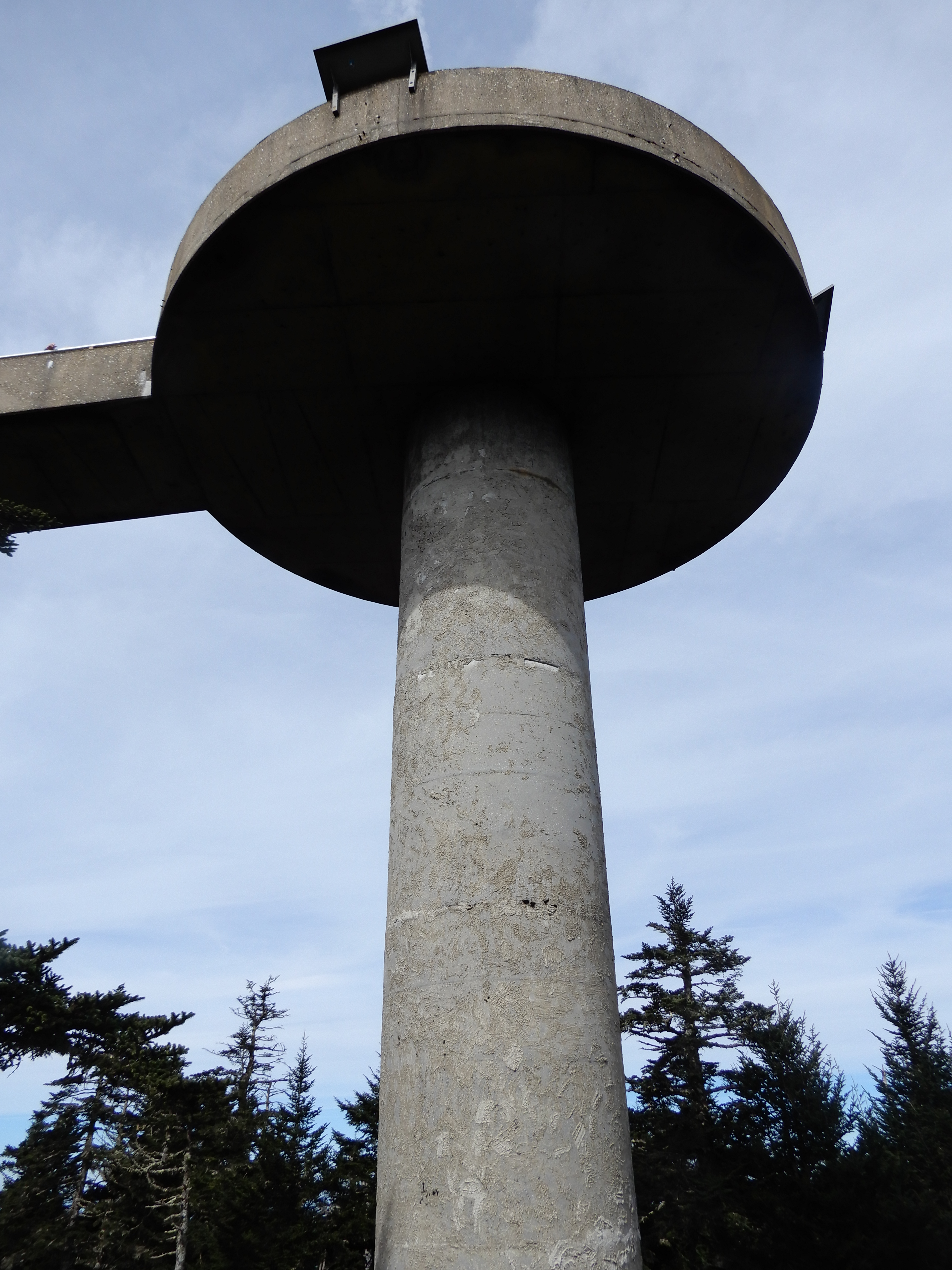
And these gazing up at the Dome.
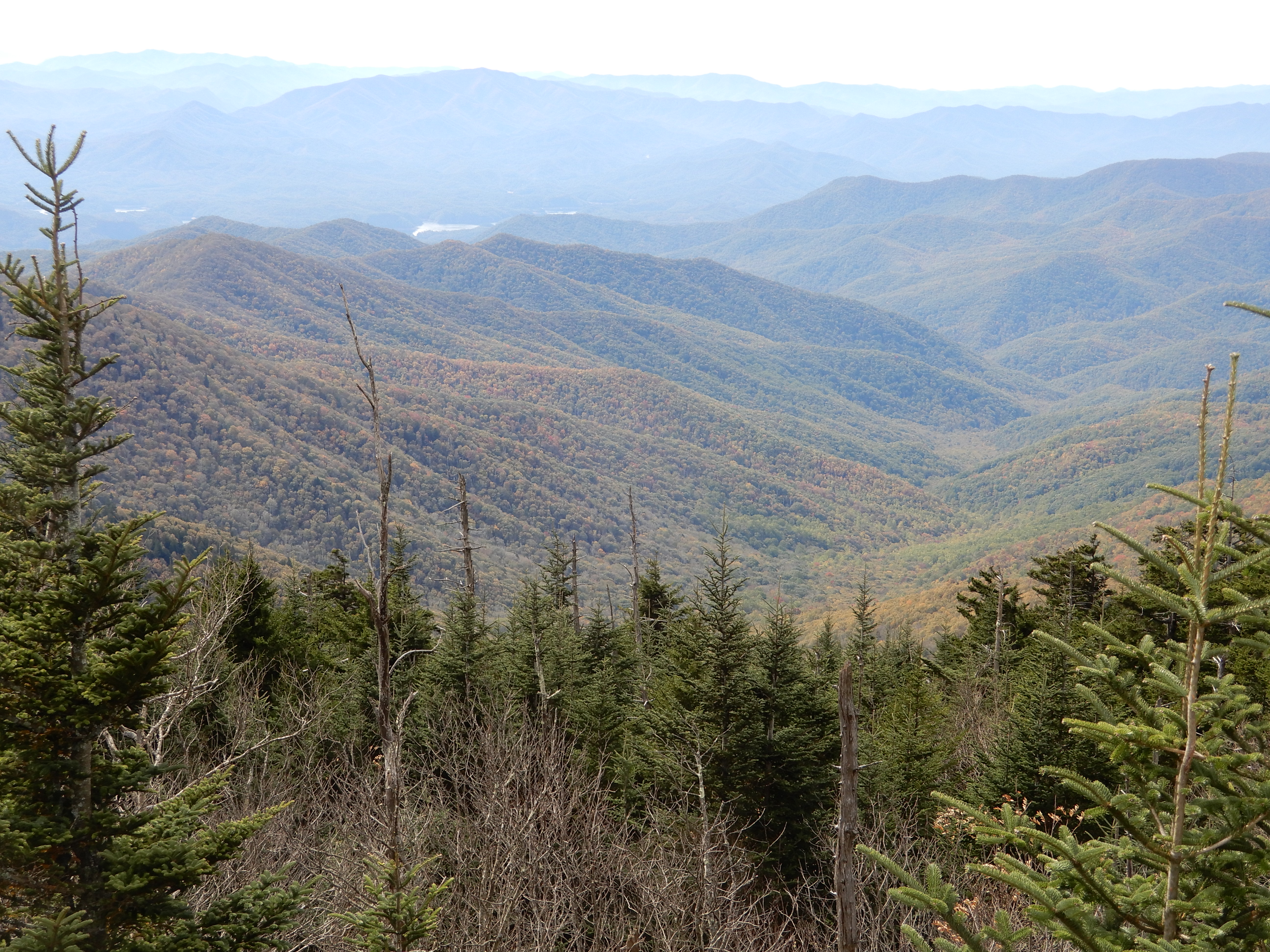
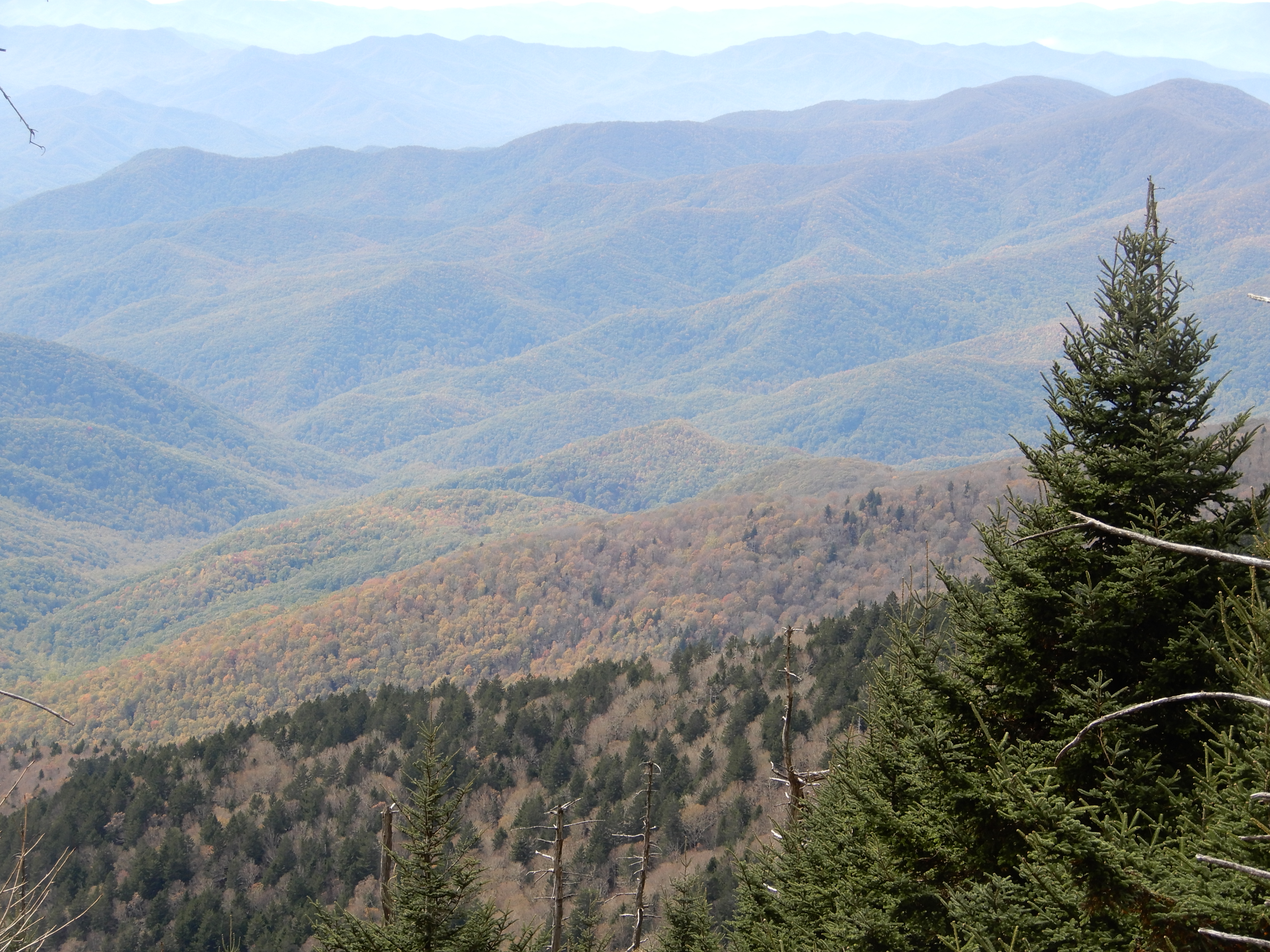
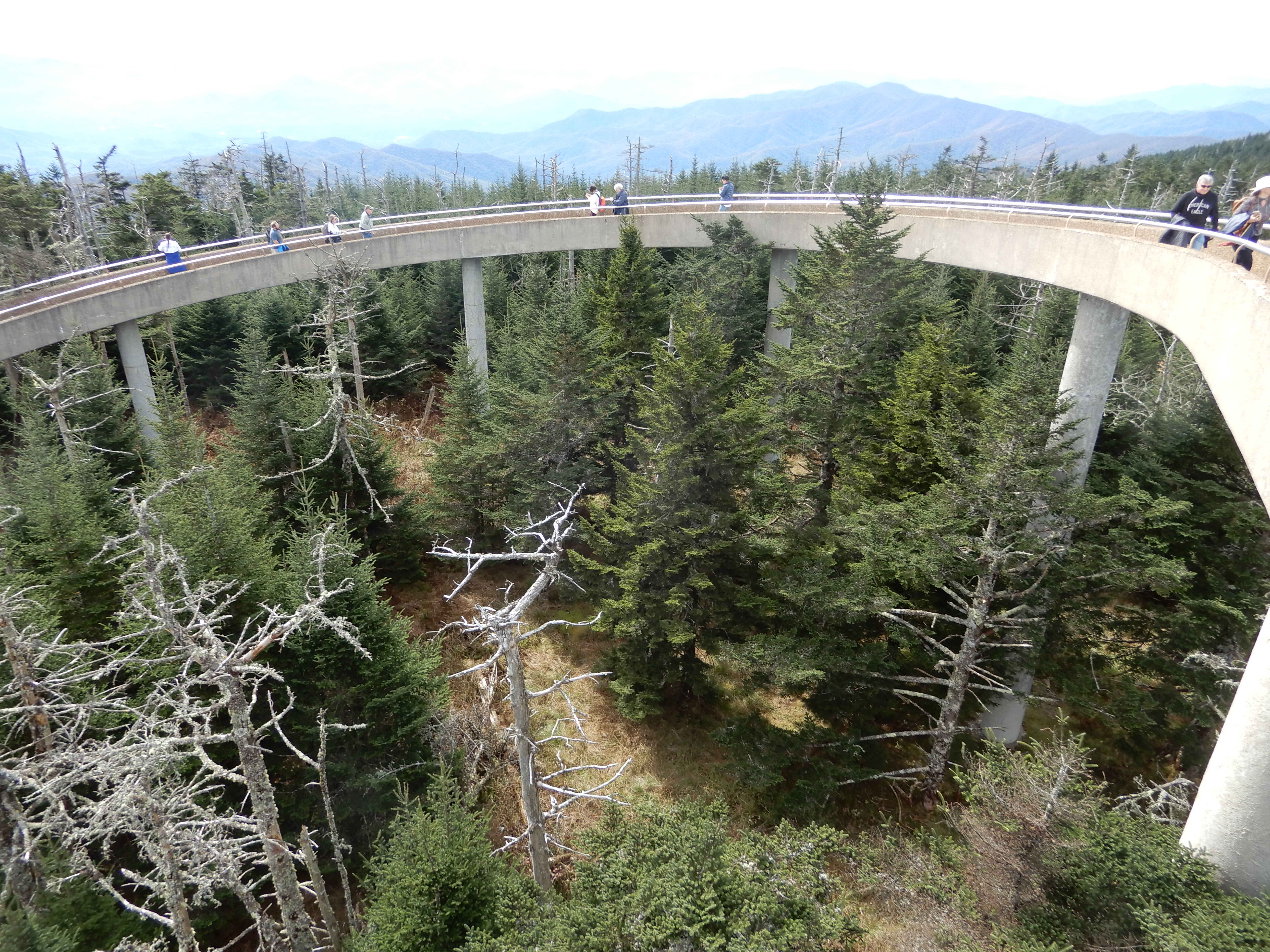
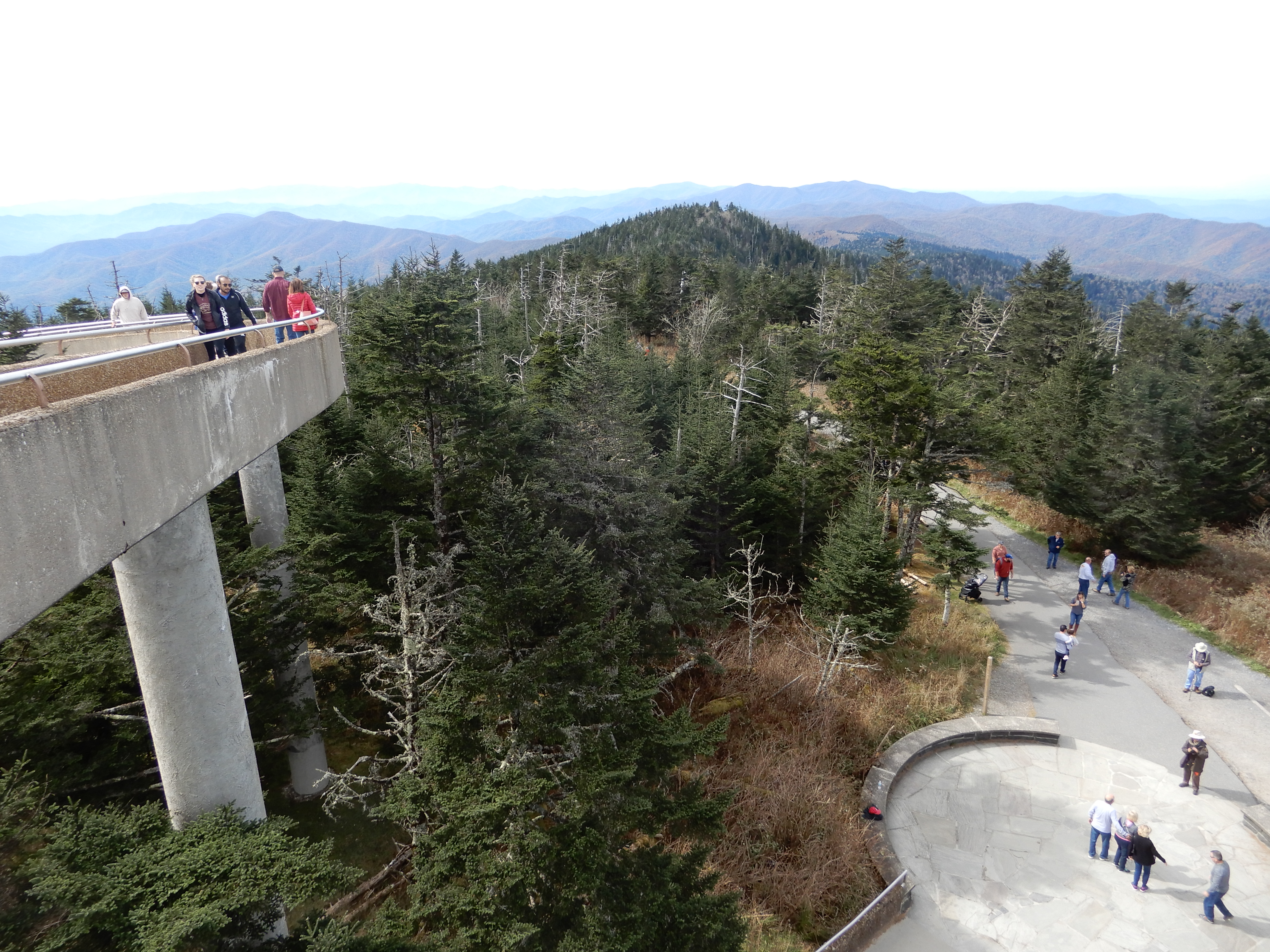
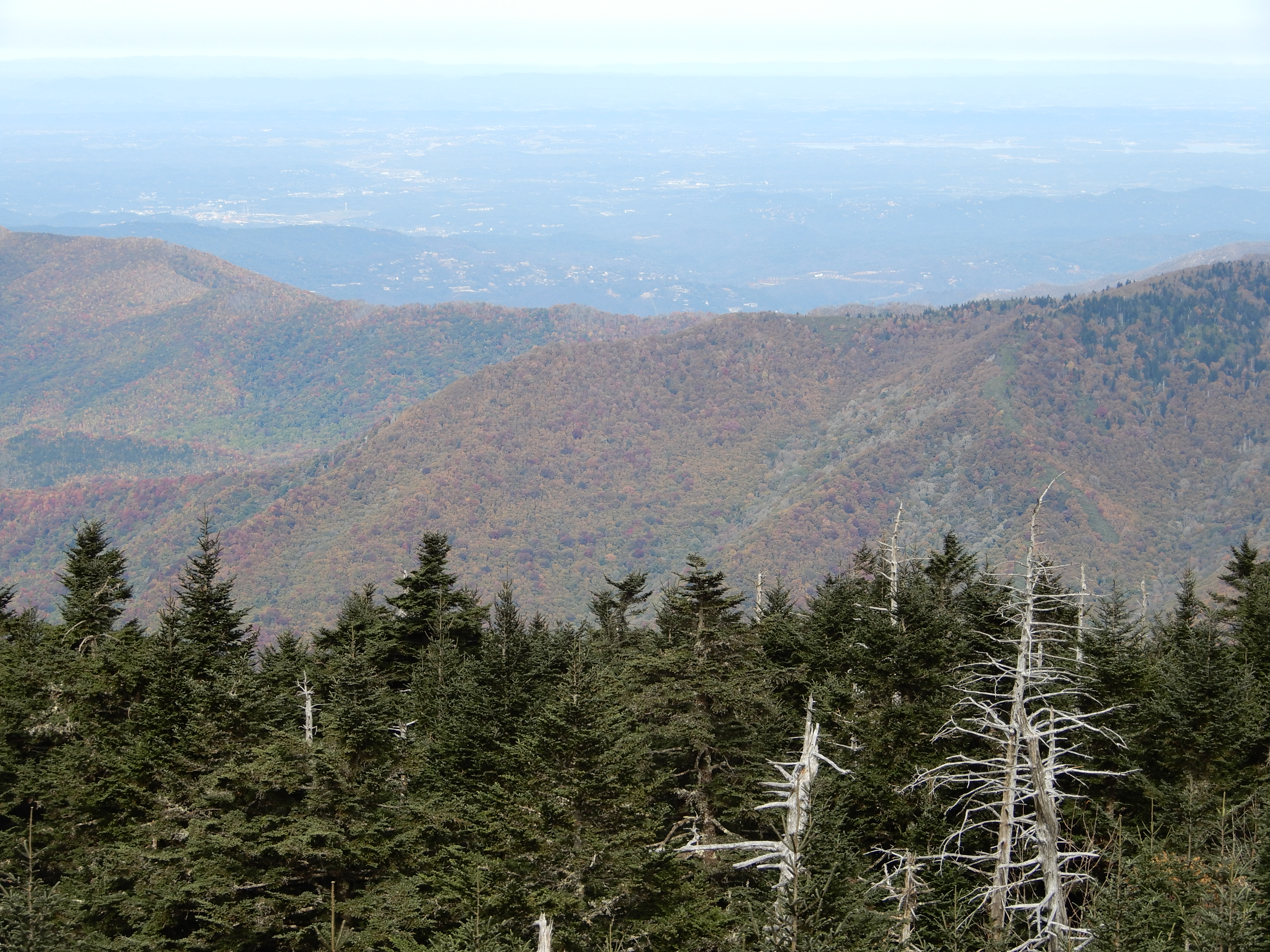
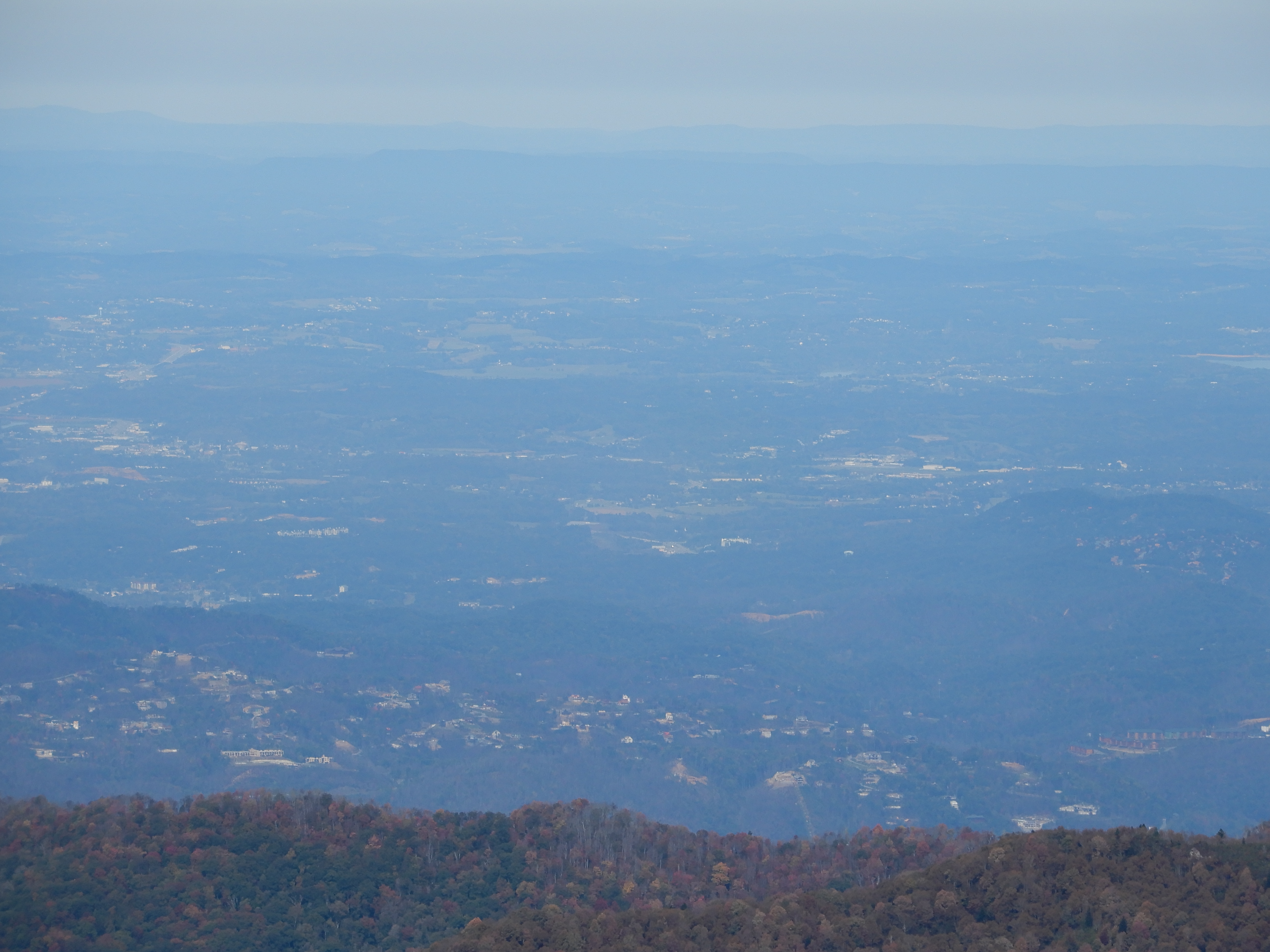
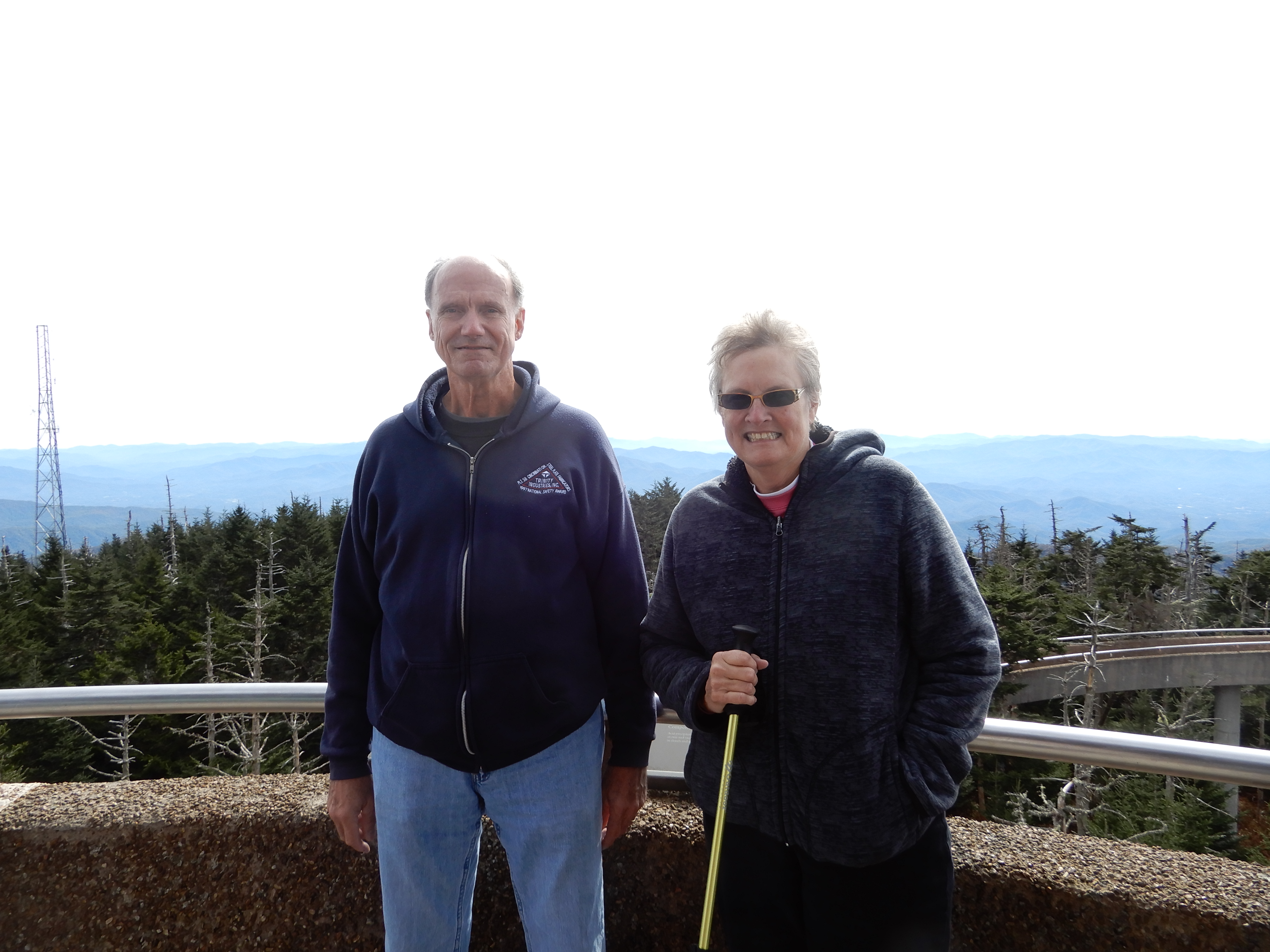
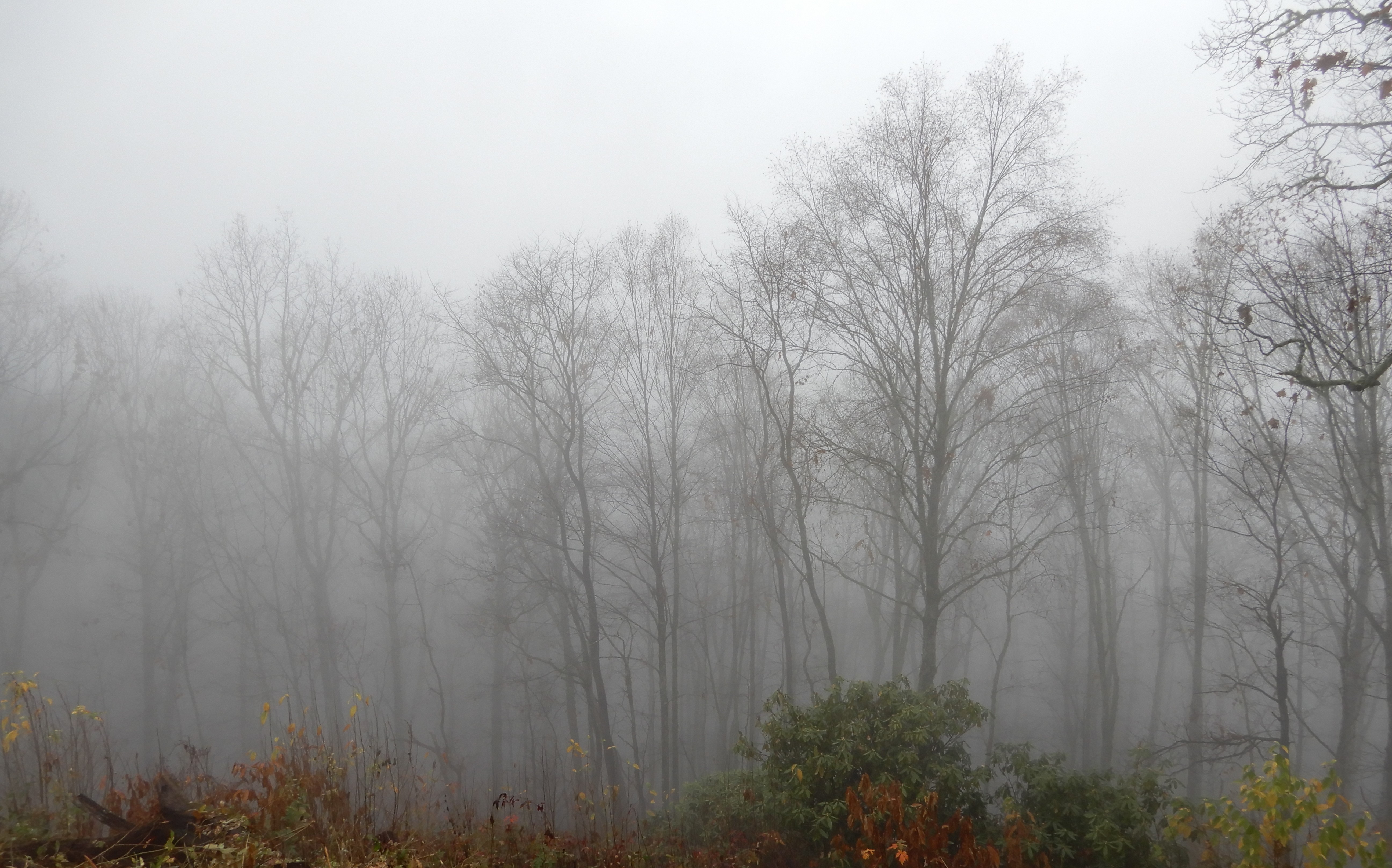
But the best views were up on top of the Dome.
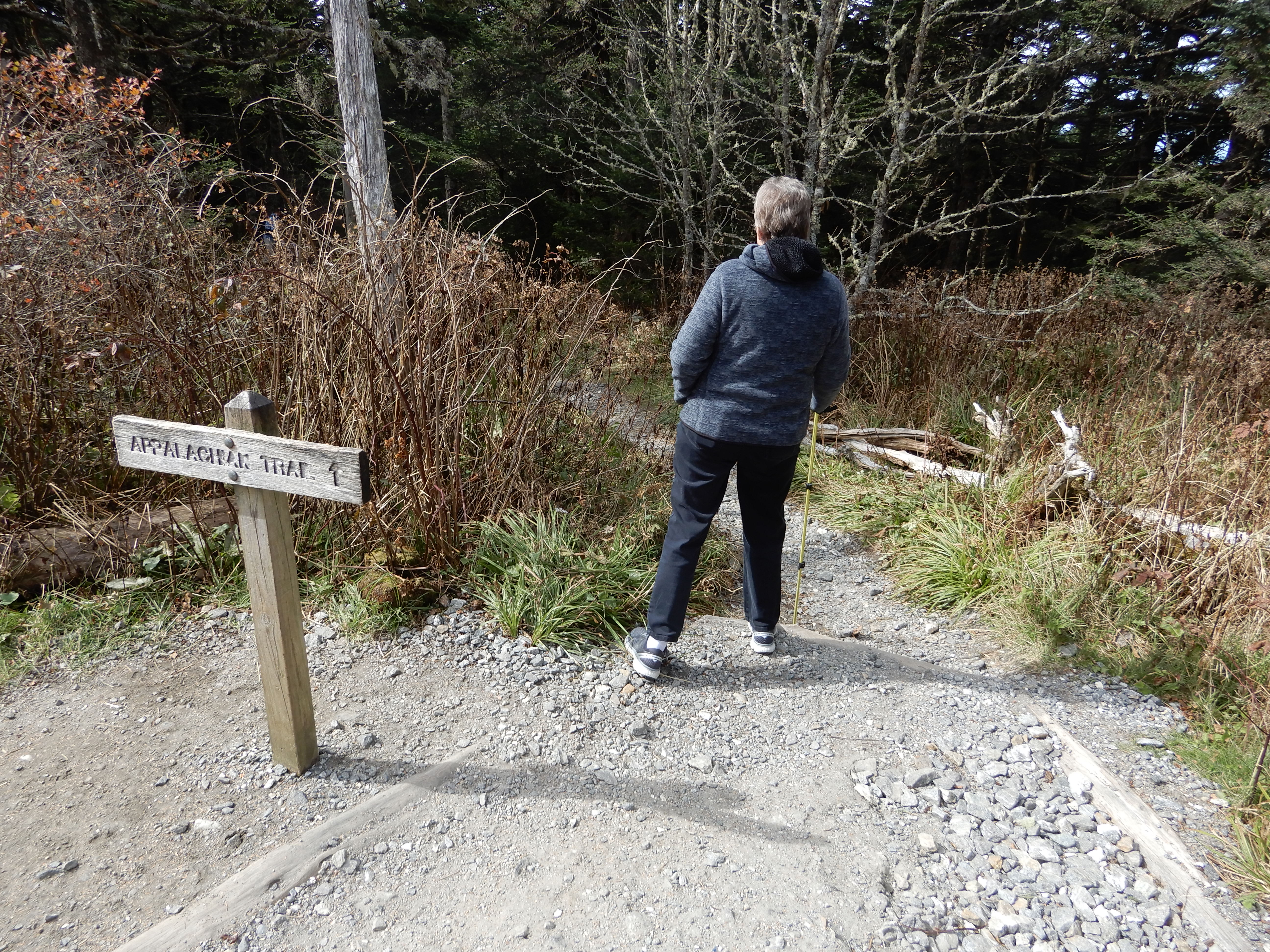
See the gravel path that joins the cement walkway? That’s part of the Appalachian Trail. It crosses the height Clingman’s Dome is built on.
Gazing off toward Gatlinburg.
Naturally, we had to pose.
Next American Location: Cades Cove Campground, Great Smoky Mountains National Park, Tennessee
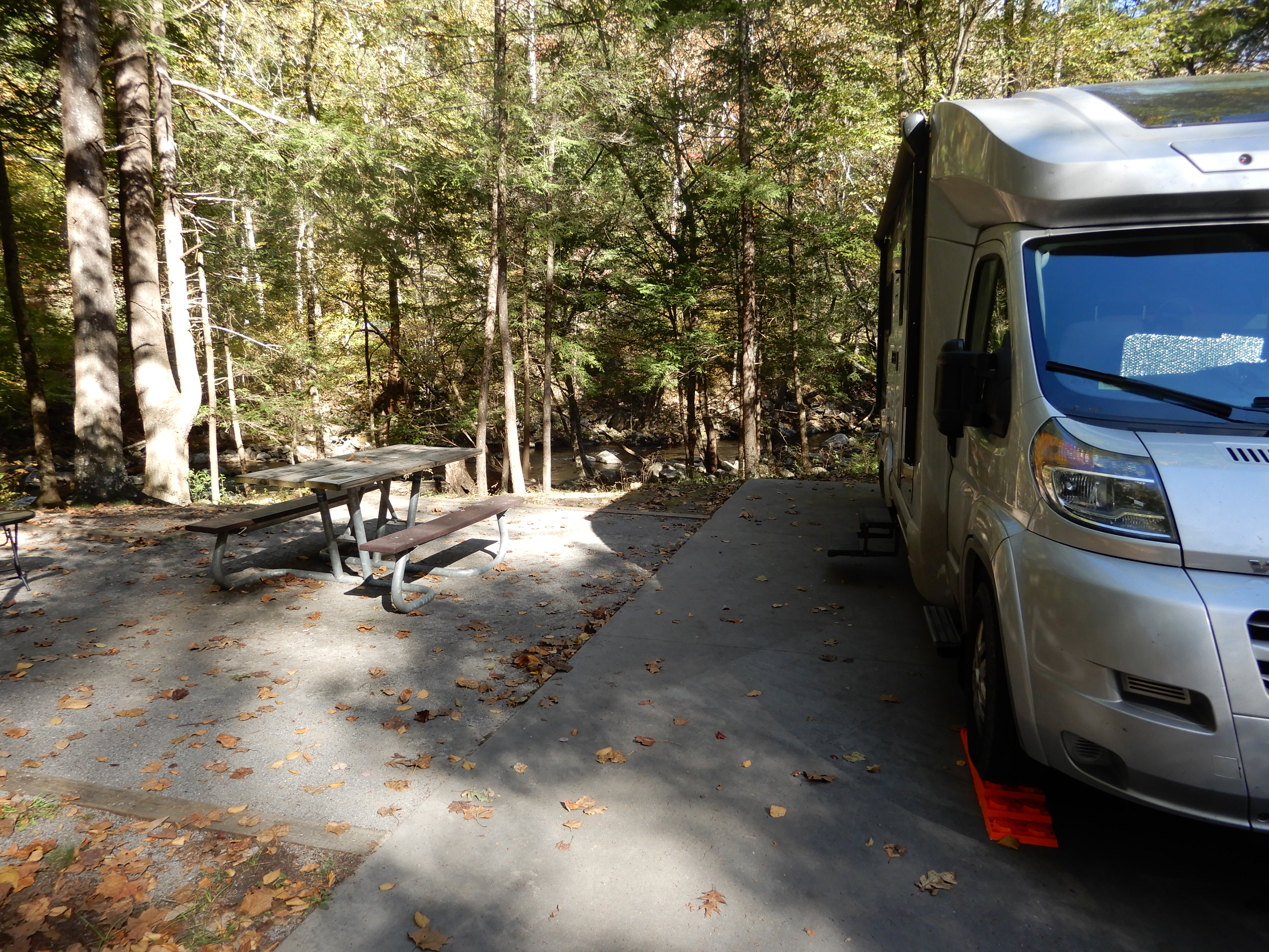
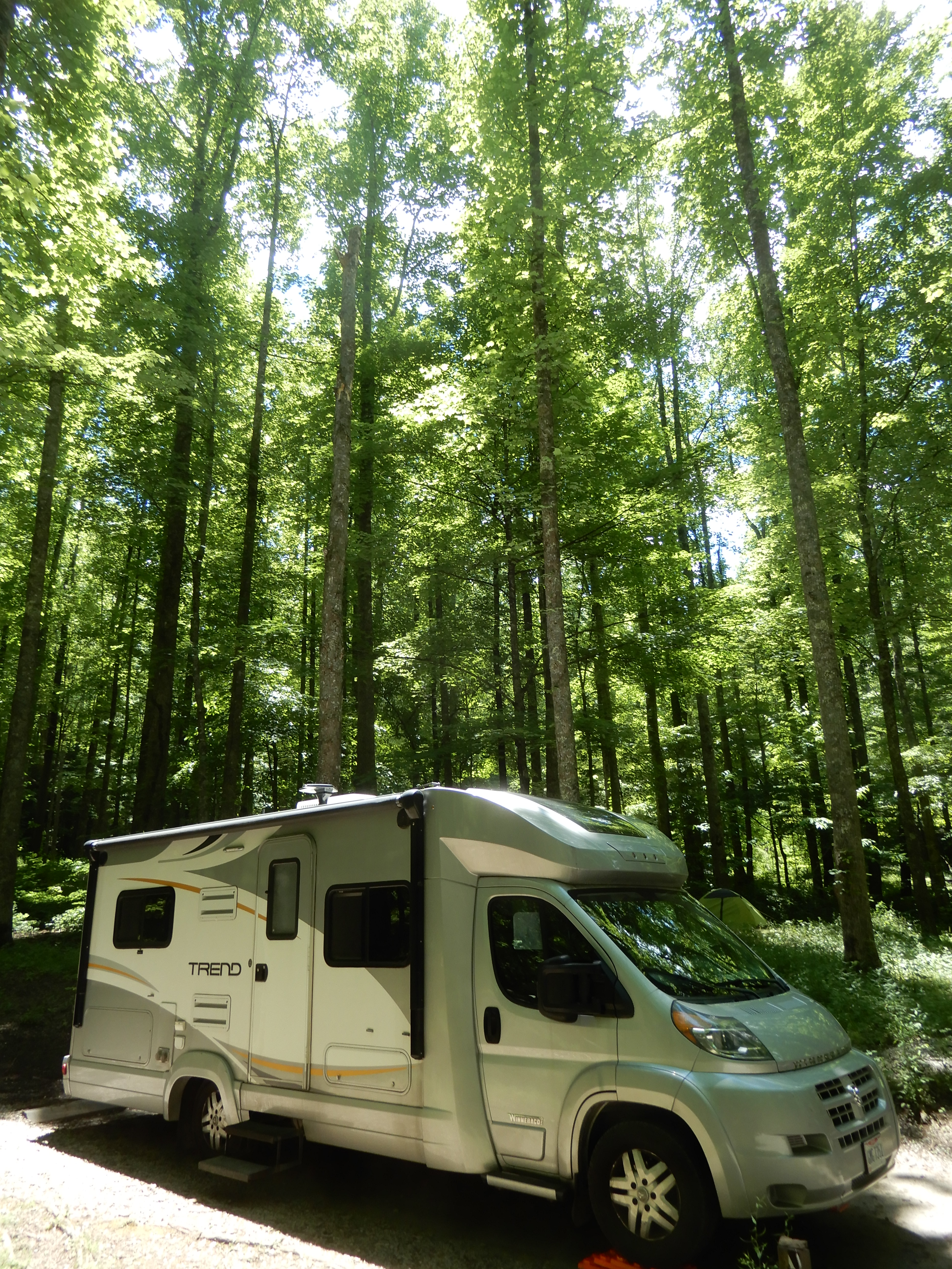
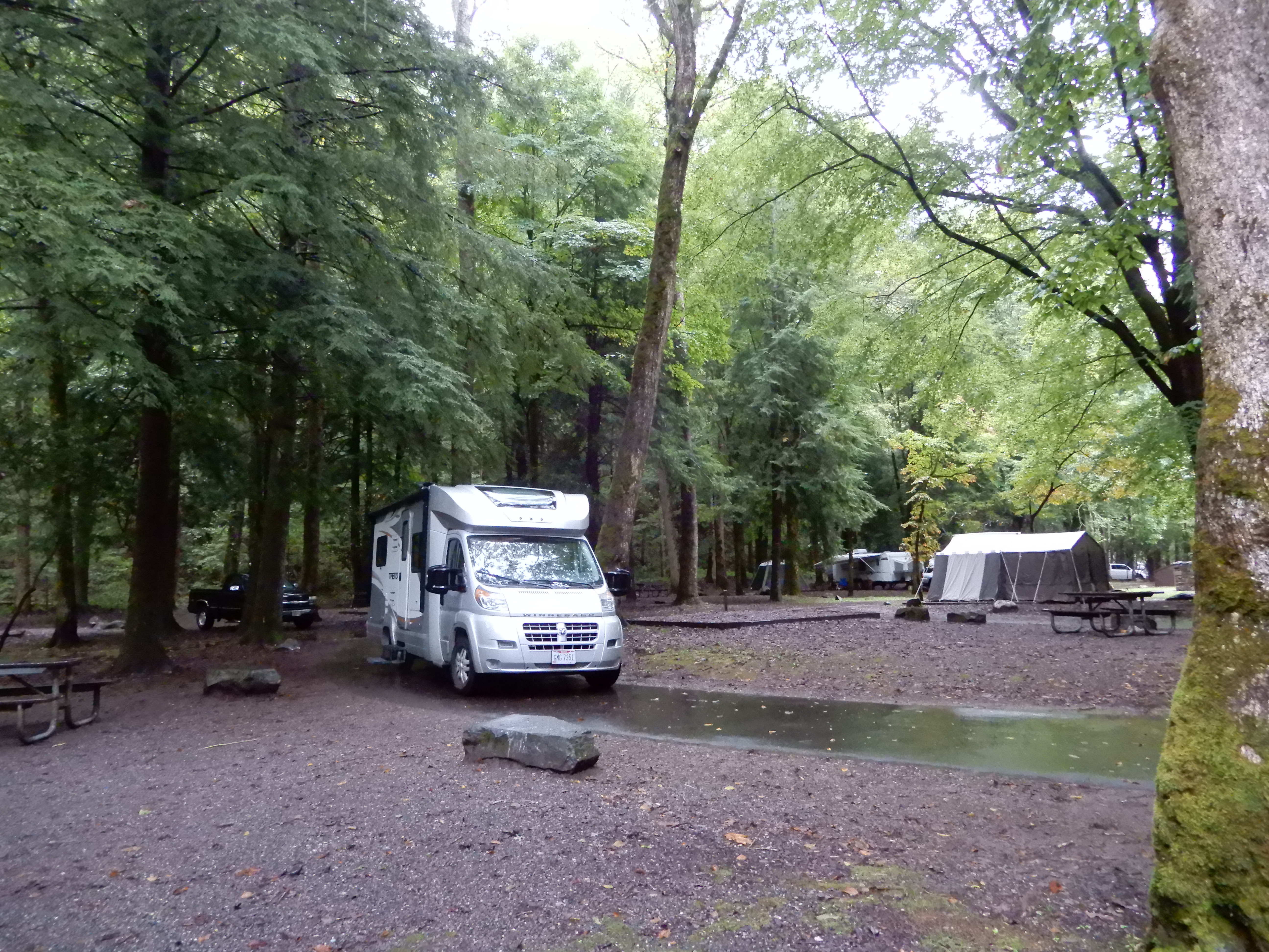
The next morning we left Cosby campground and drove west on Hwy. 32, which connects to Hwy. 321 and continues along the northern boundary of the park to Gatlinburg. We reentered the park there and set up in Elkmont Campground.
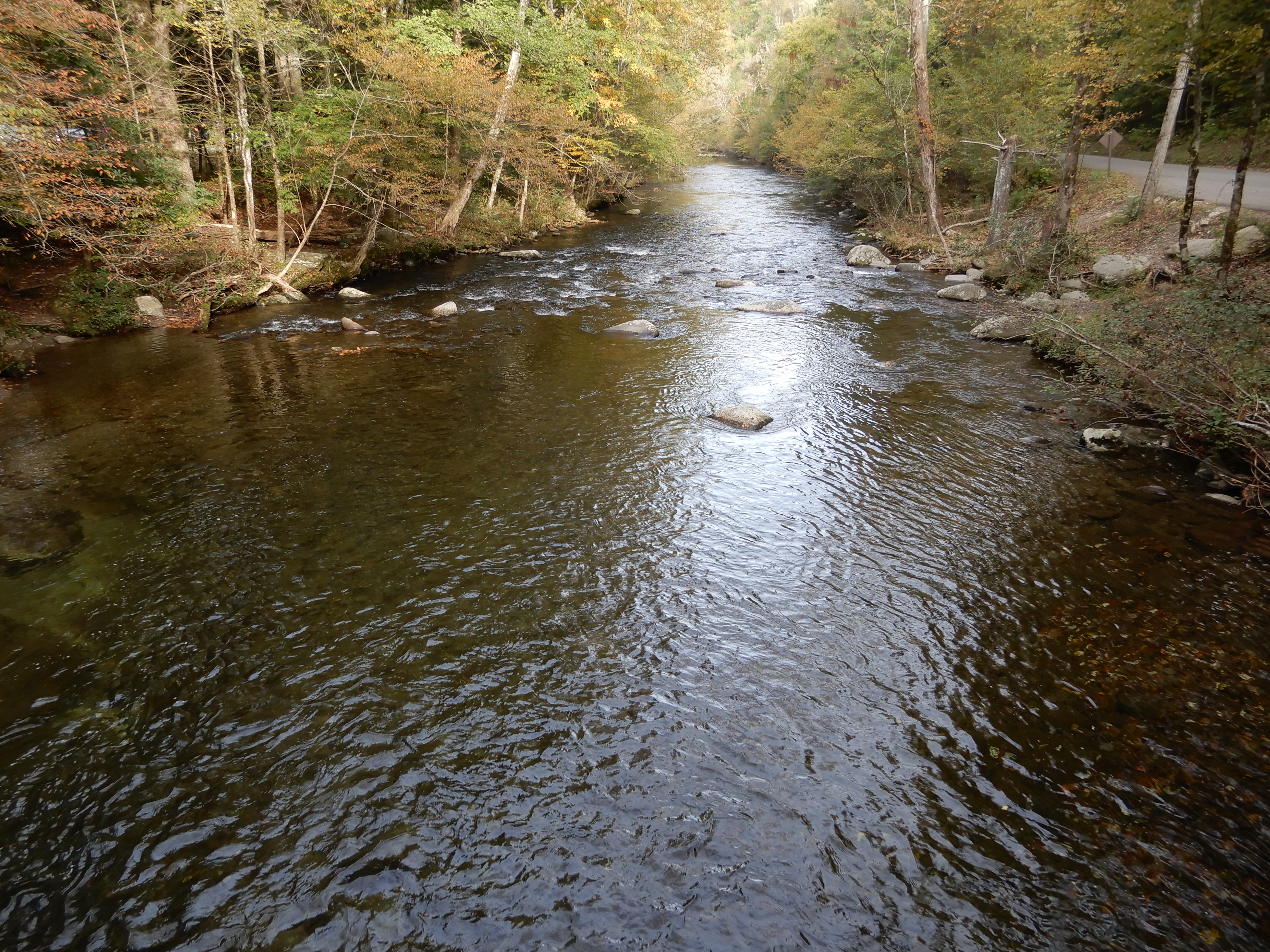
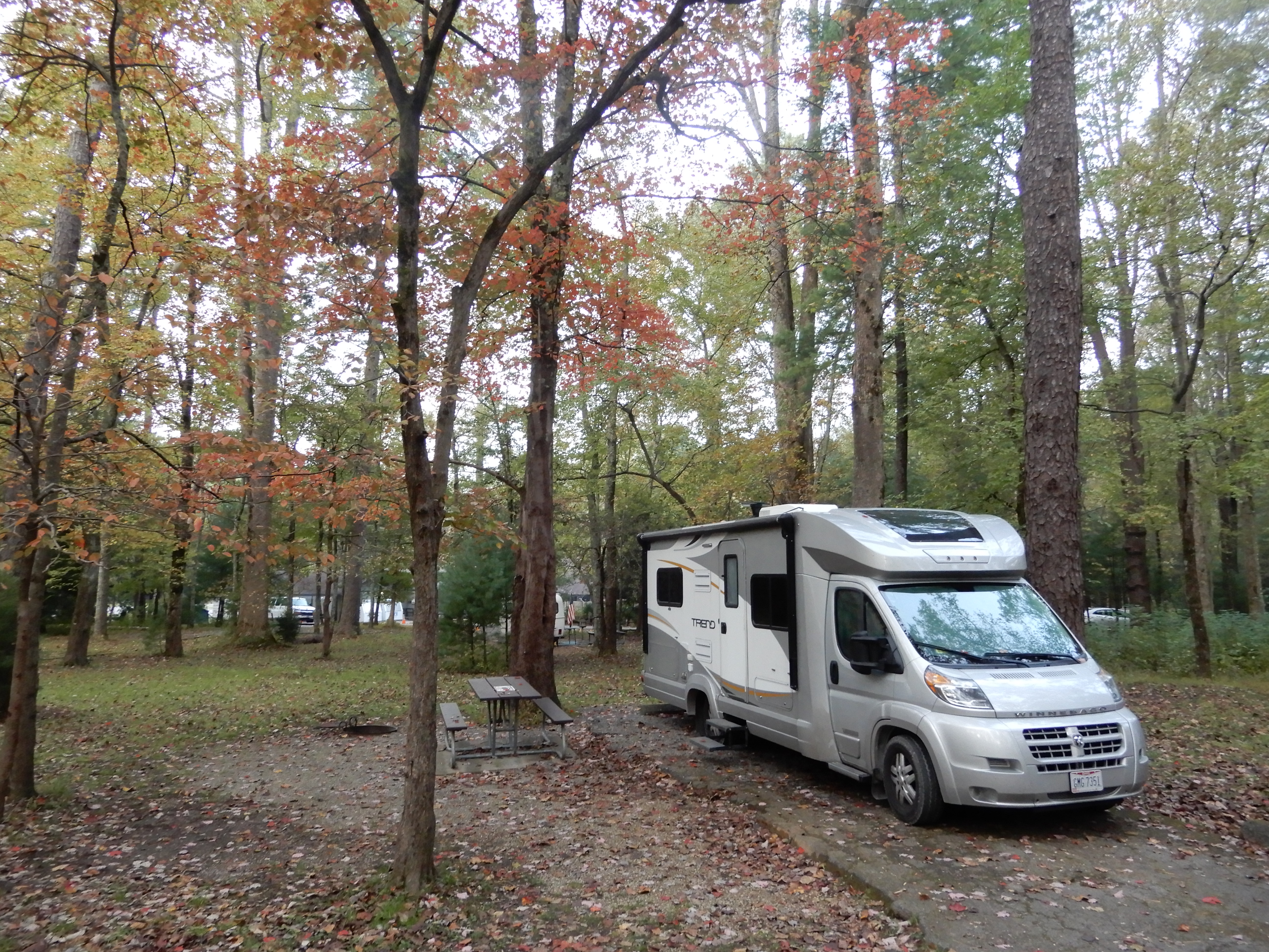
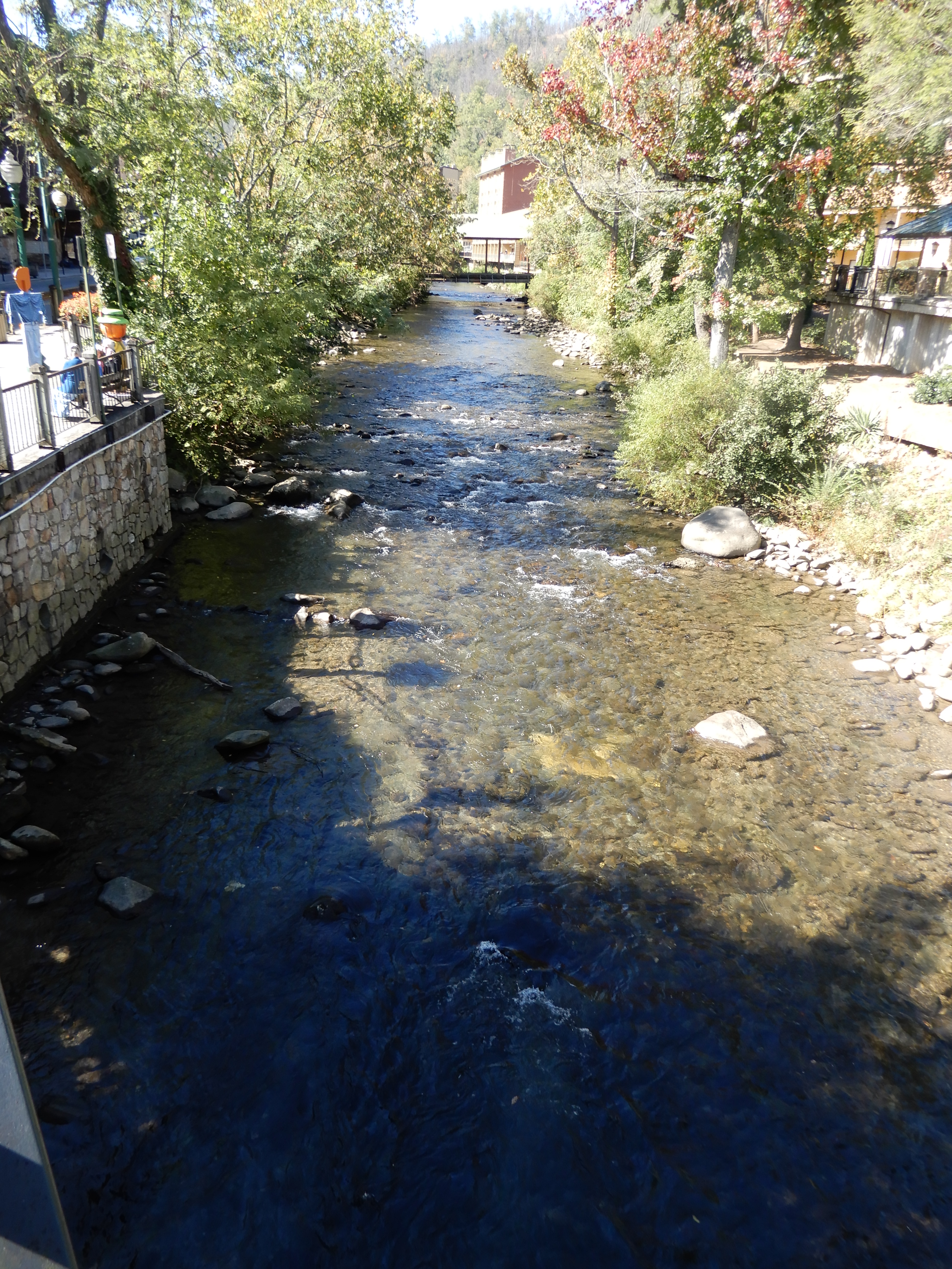
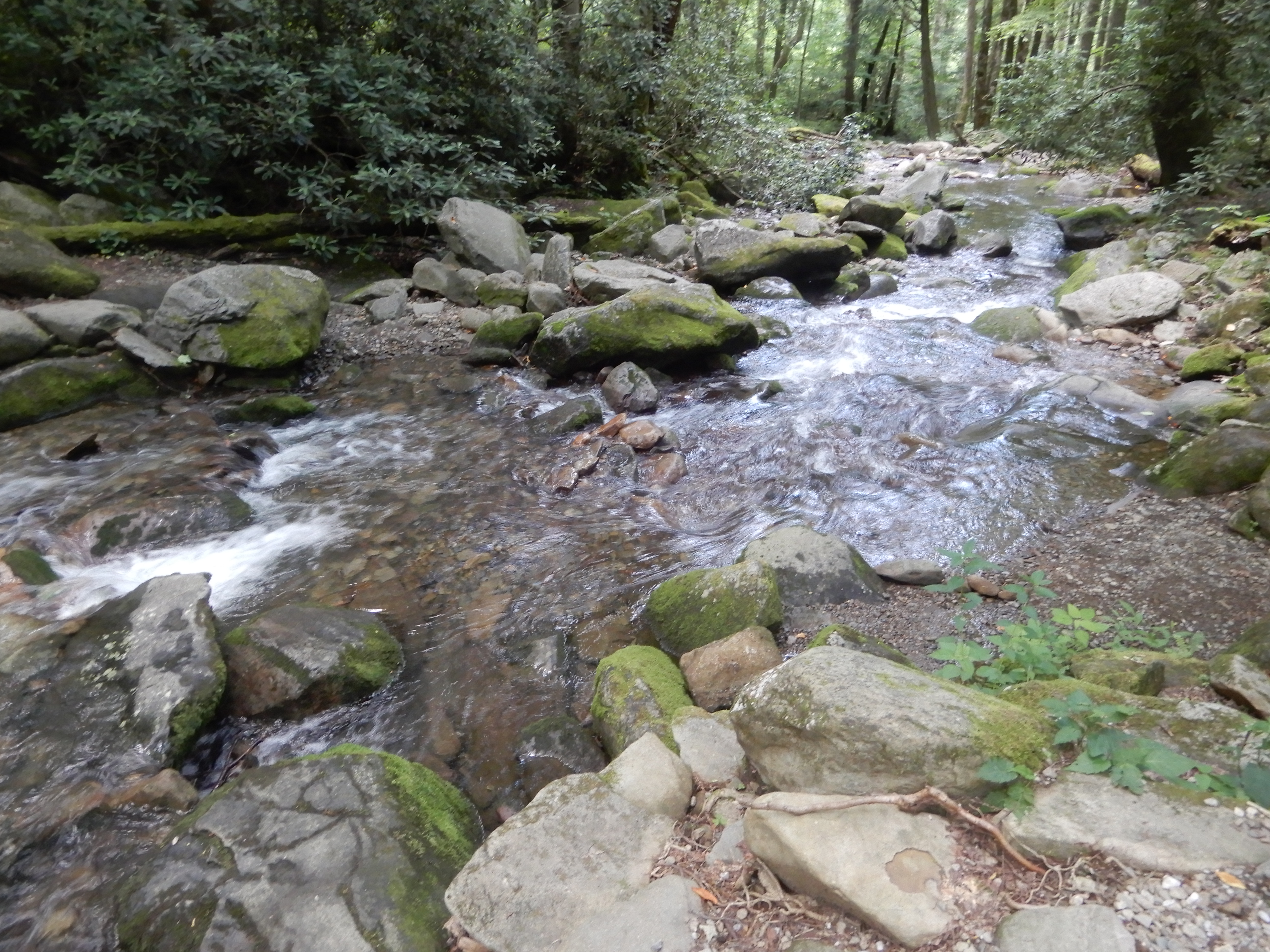
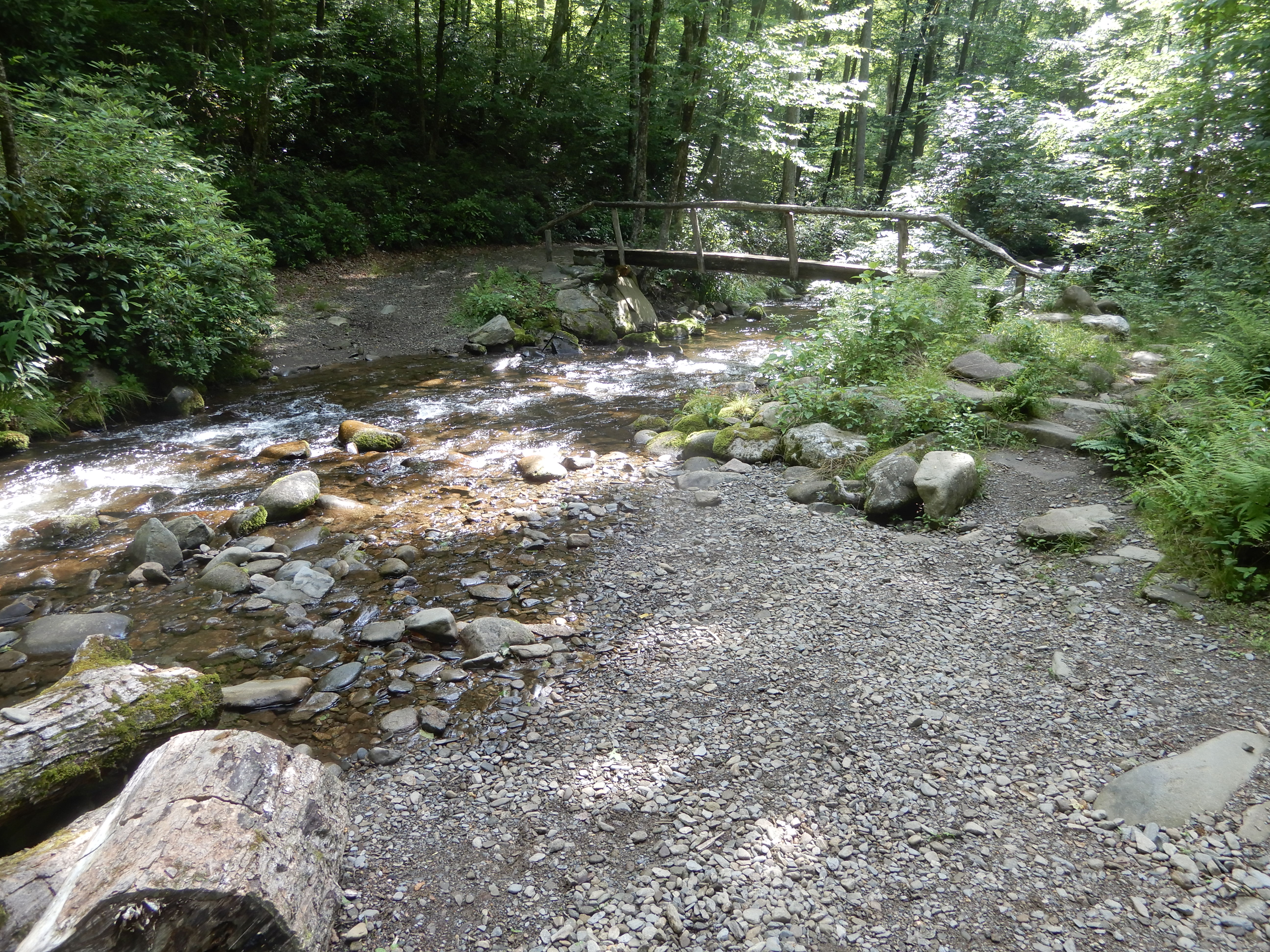
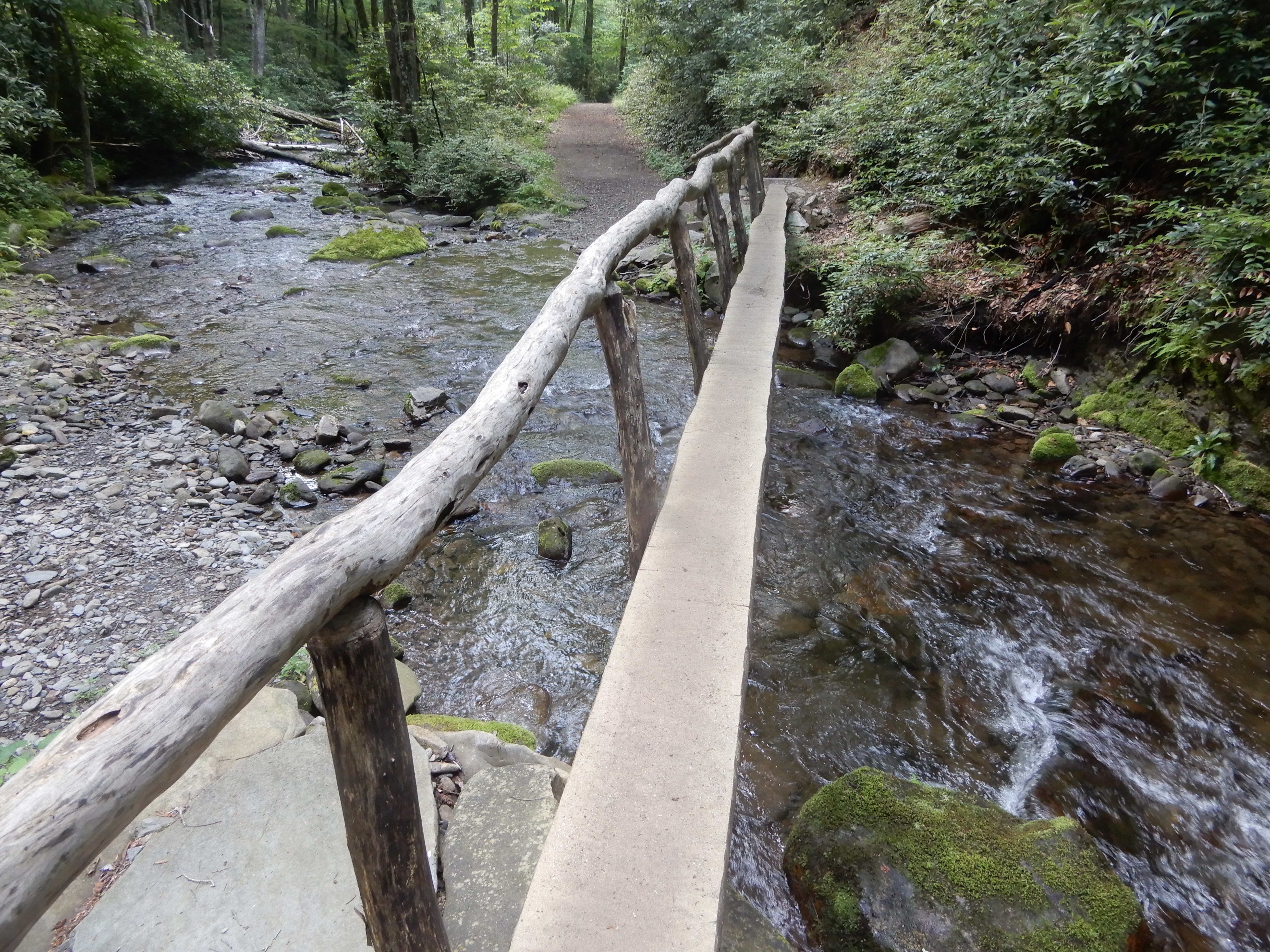
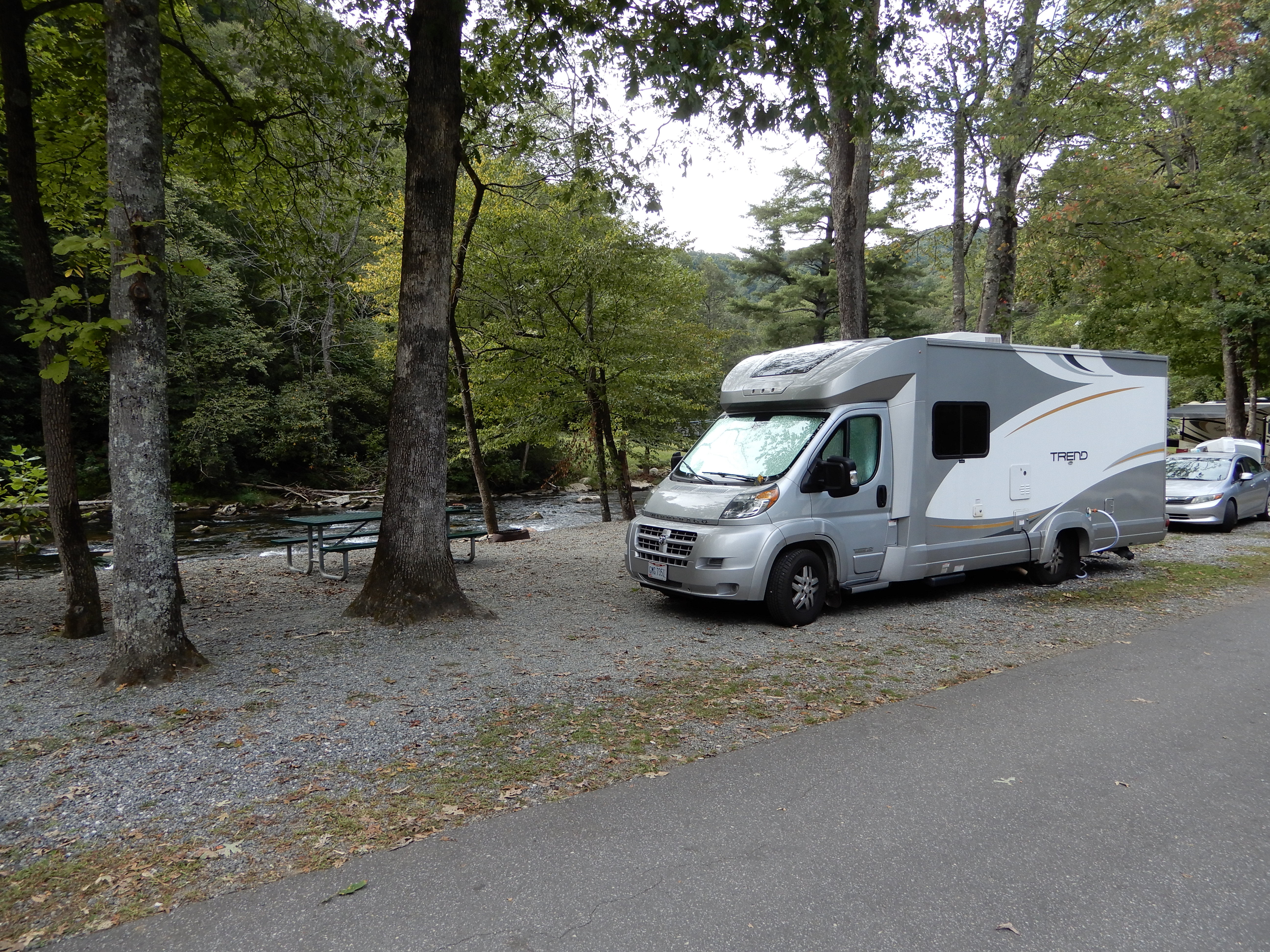
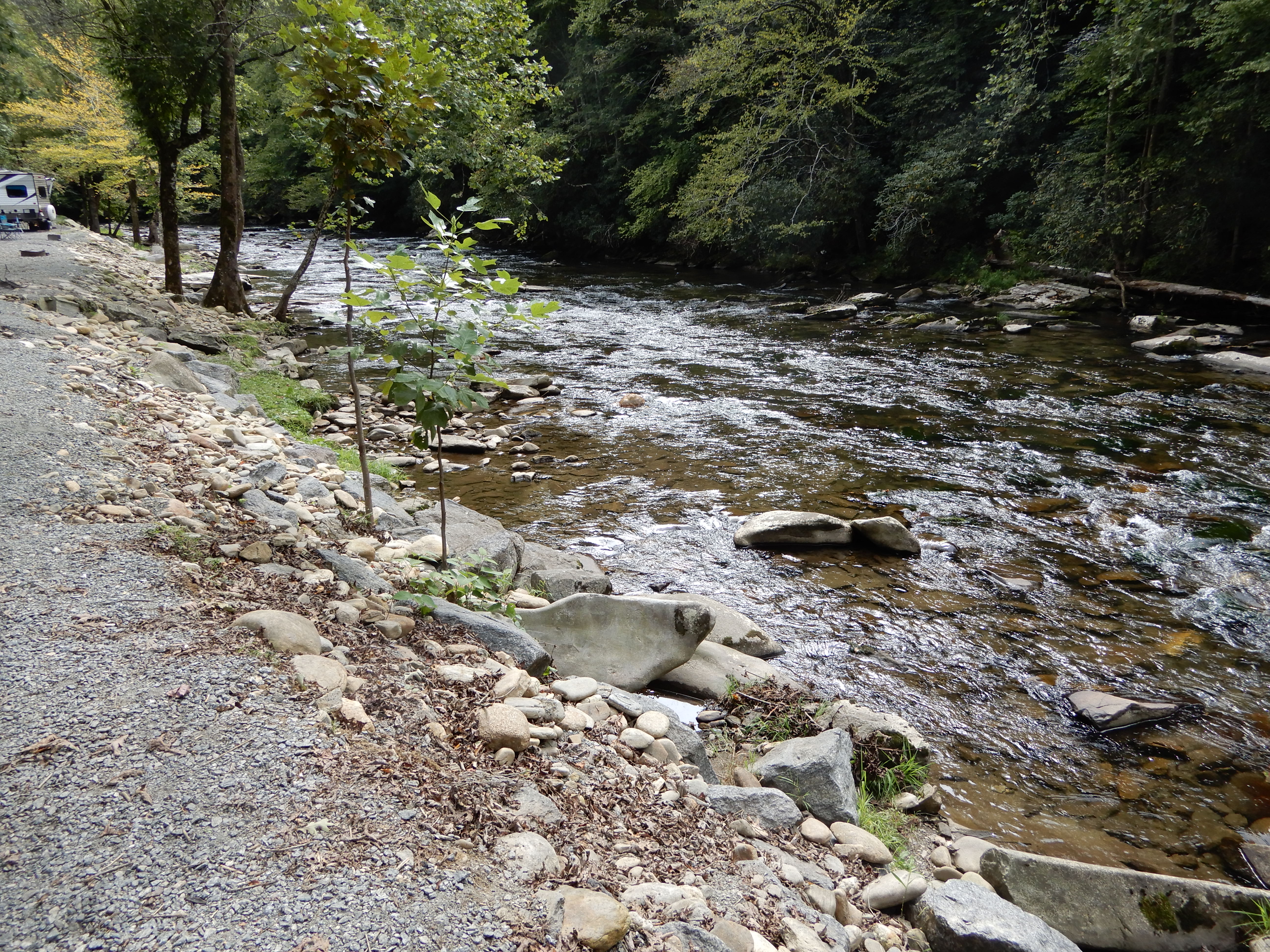
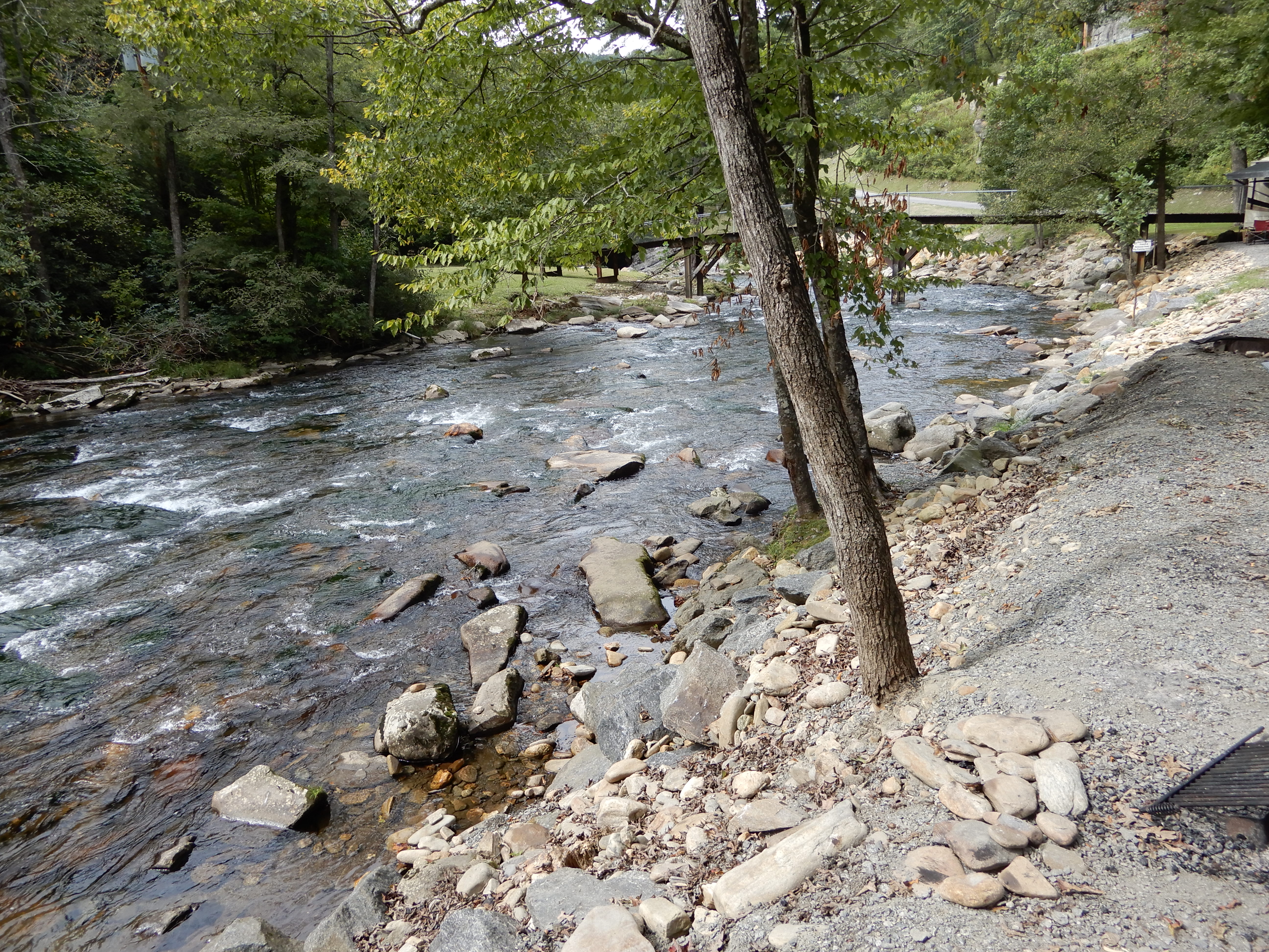
We had a very nice site on a creek.
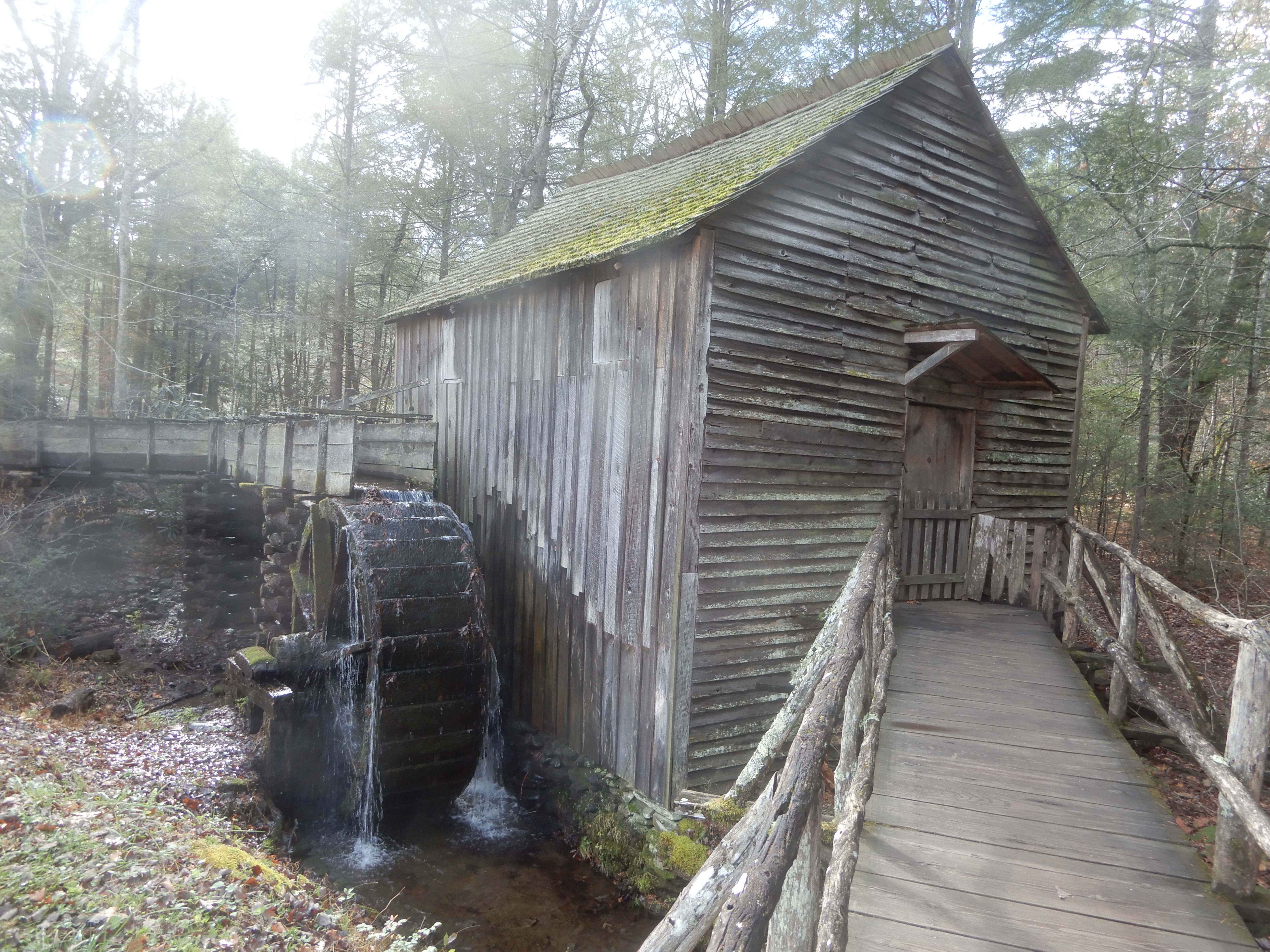
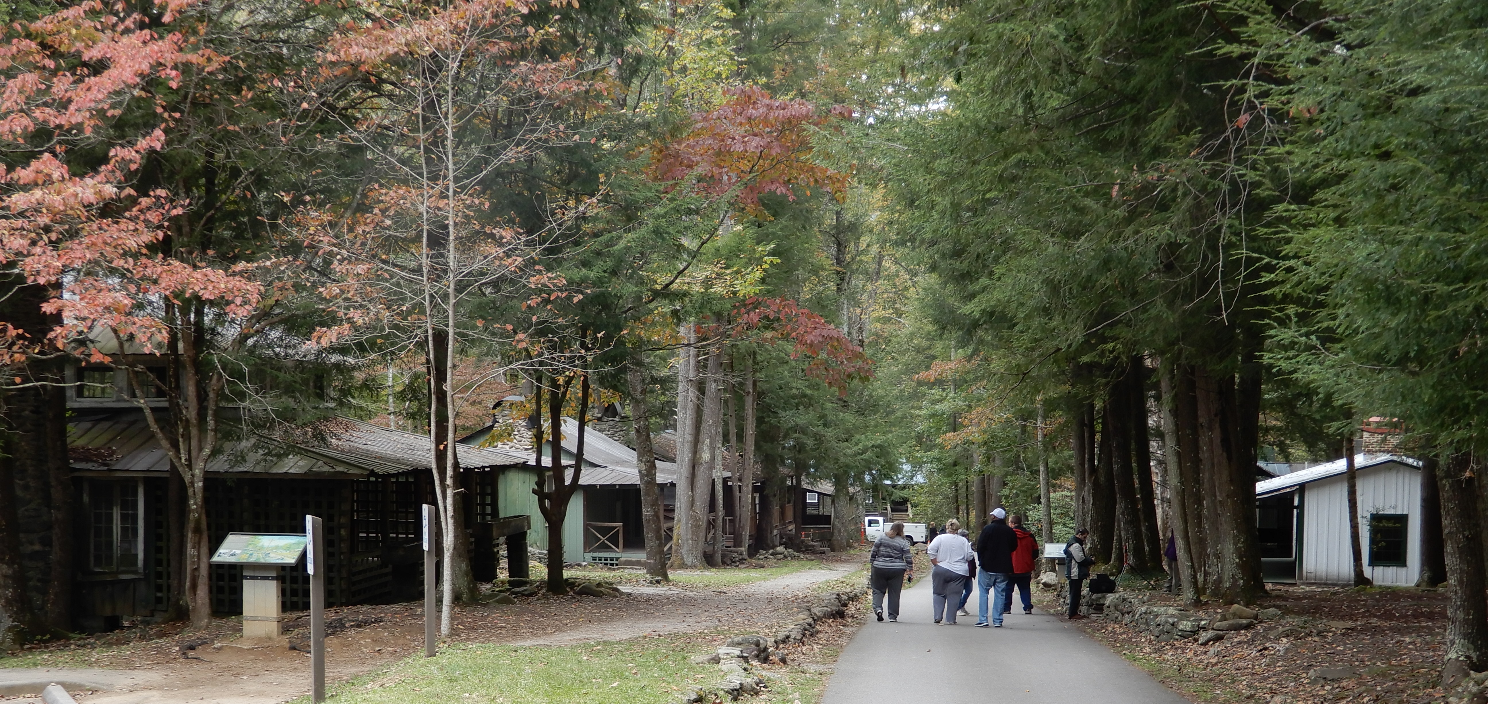
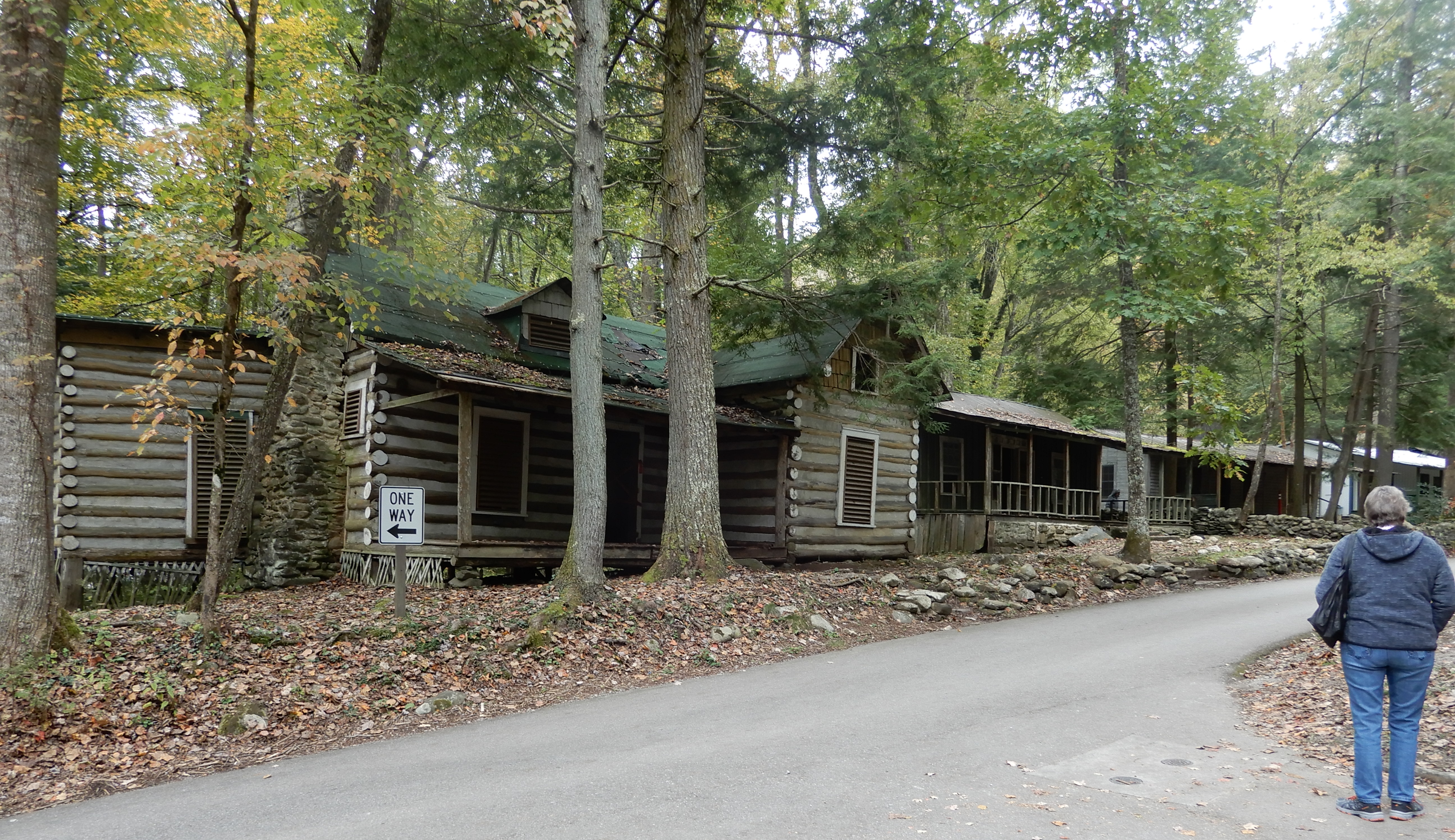
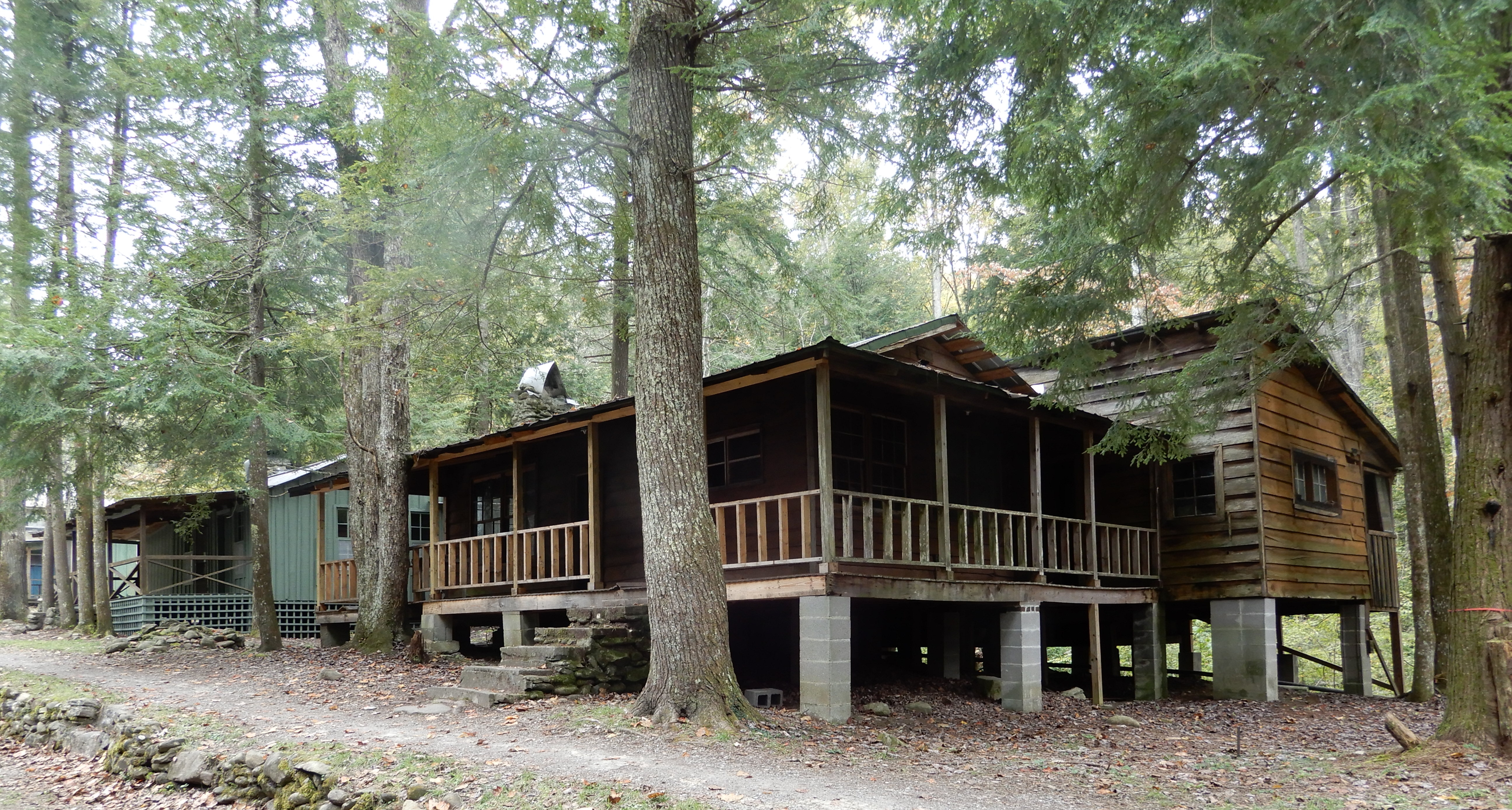
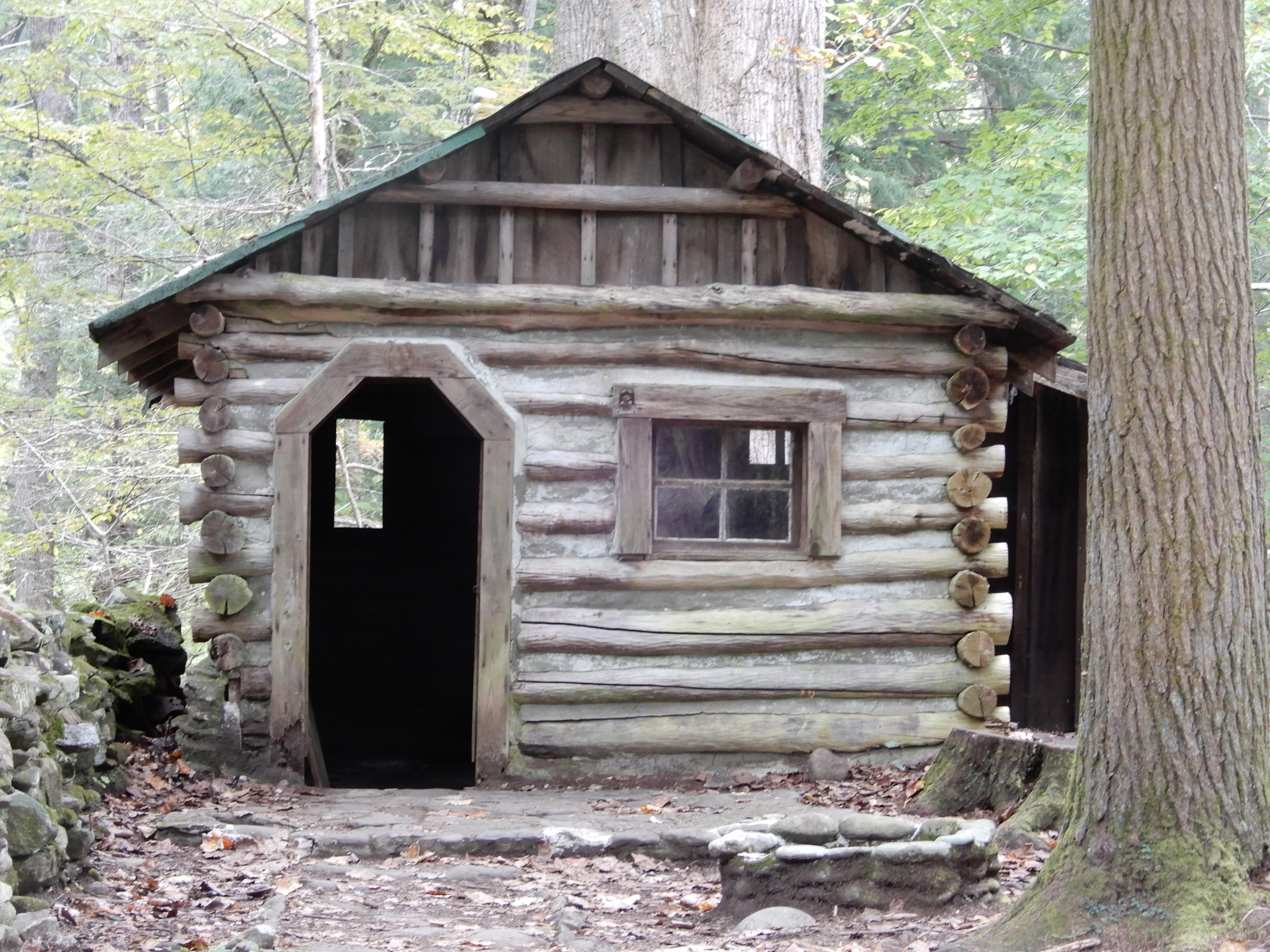
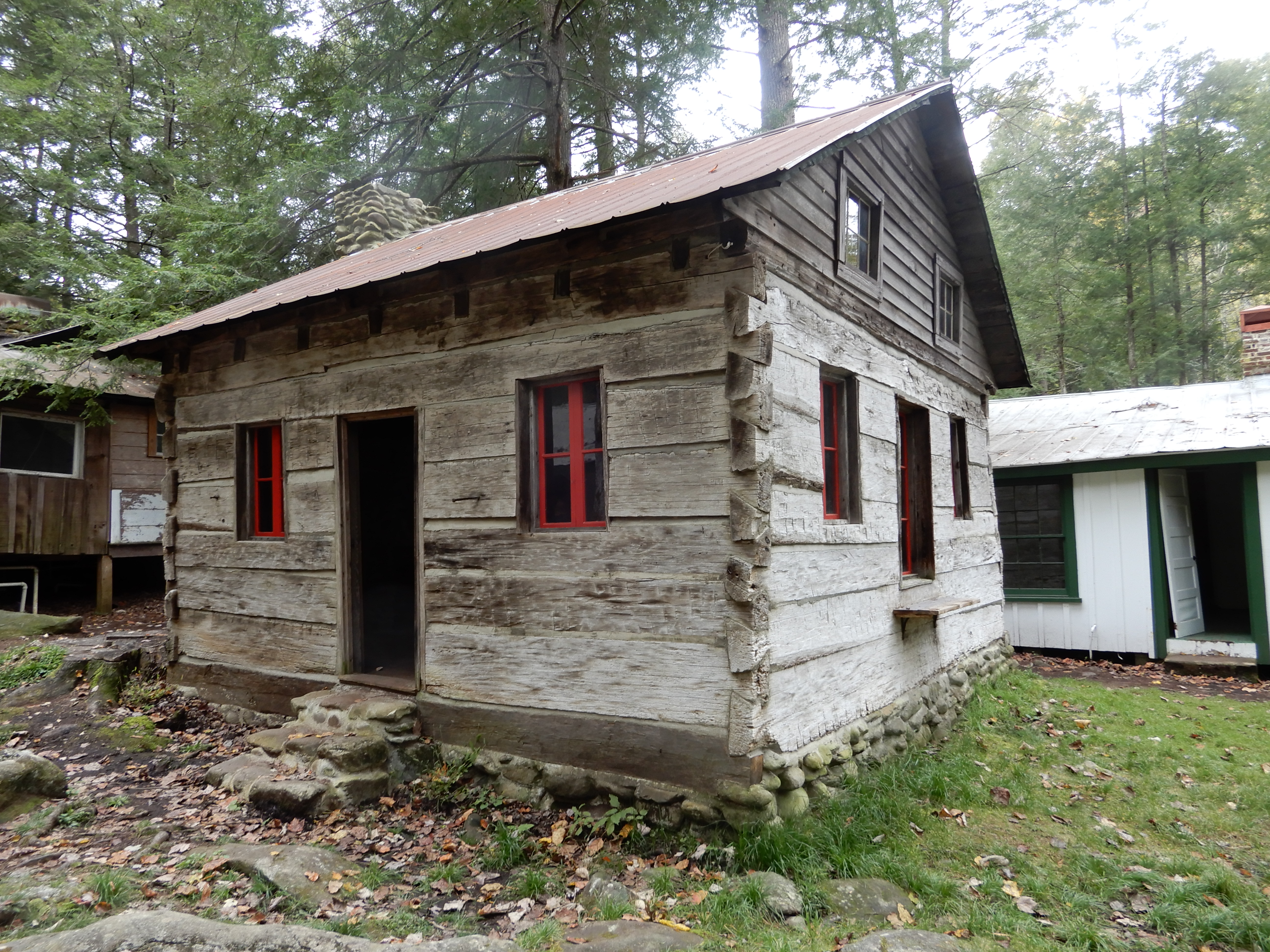
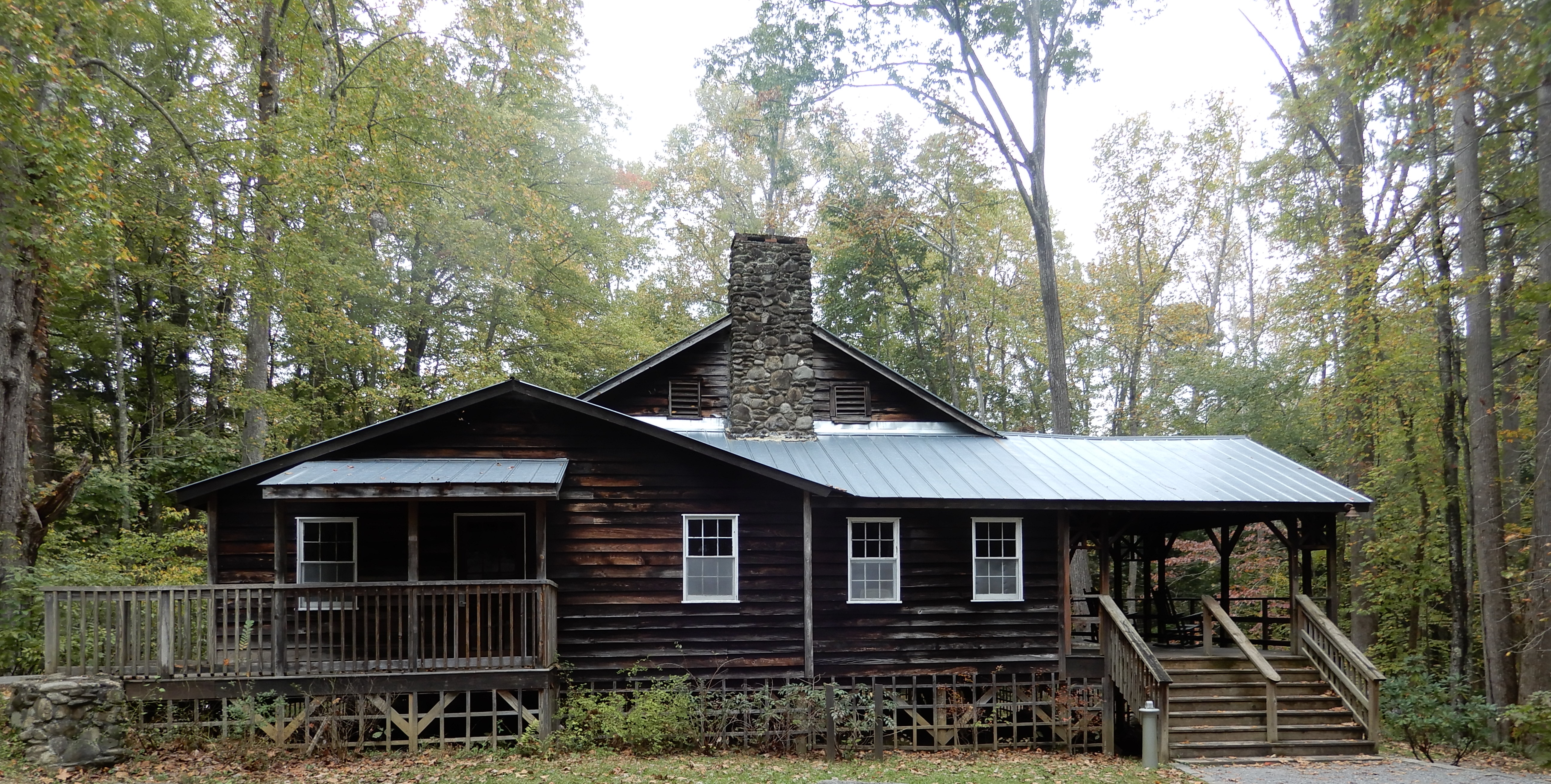
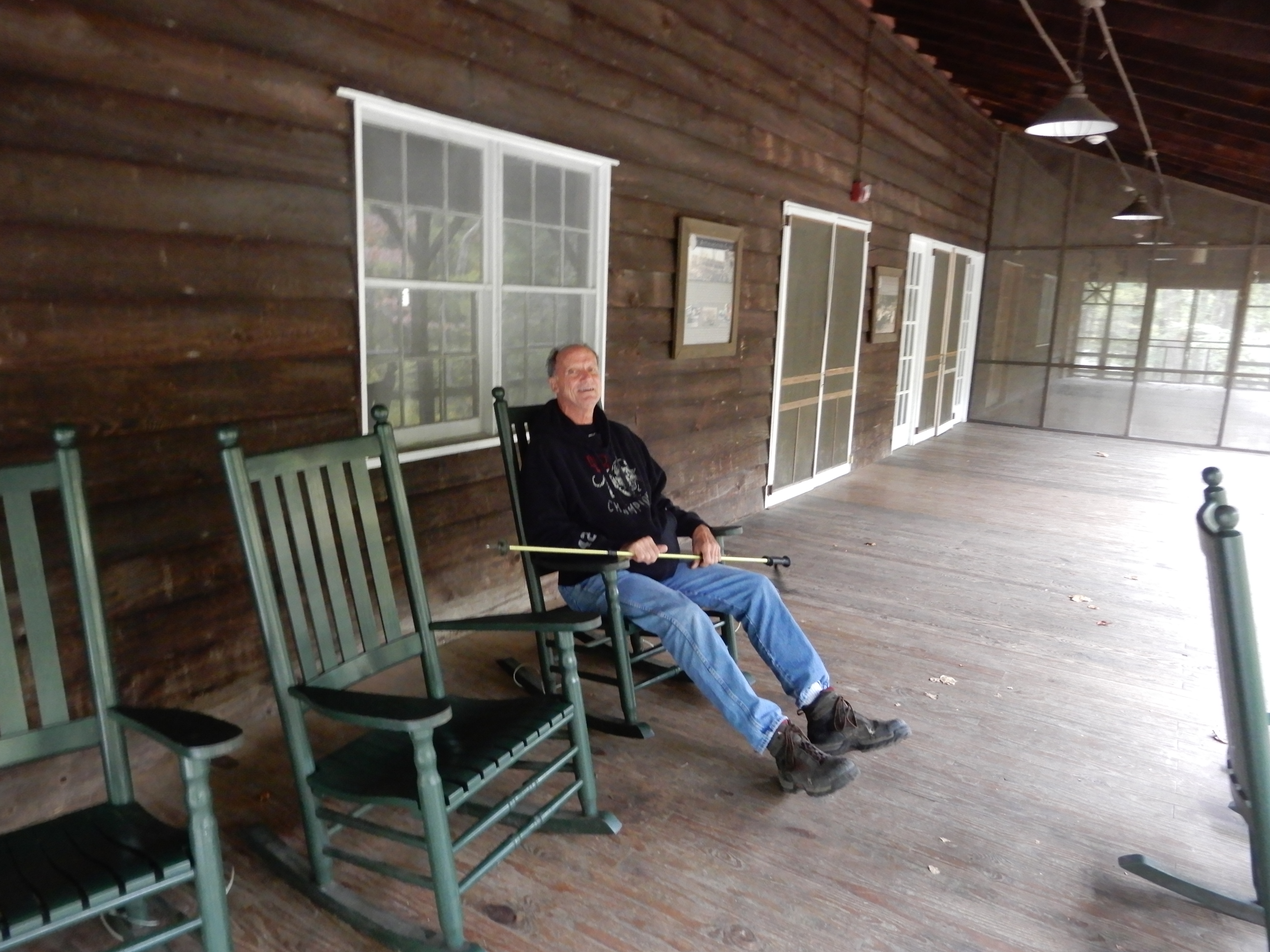
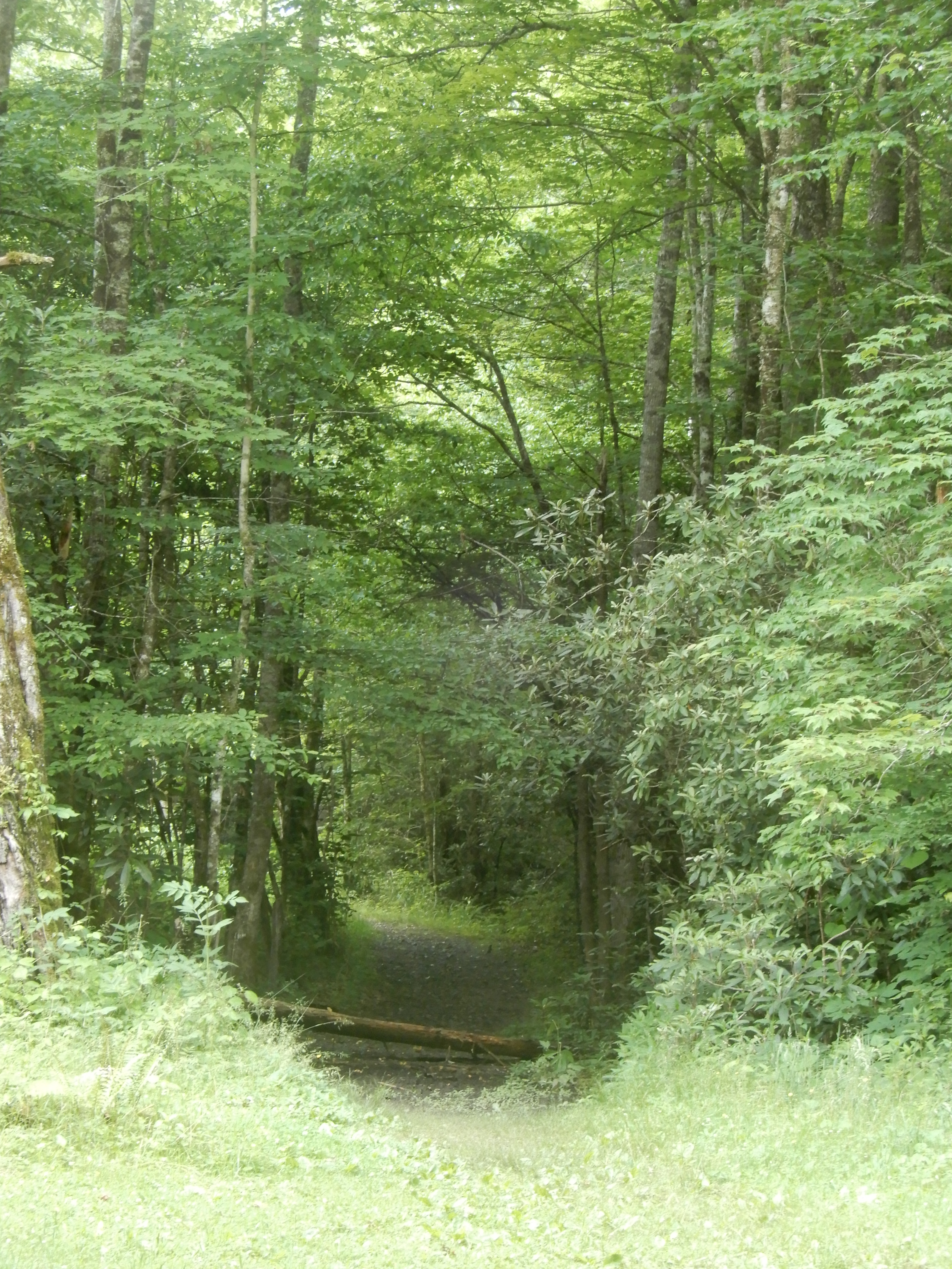
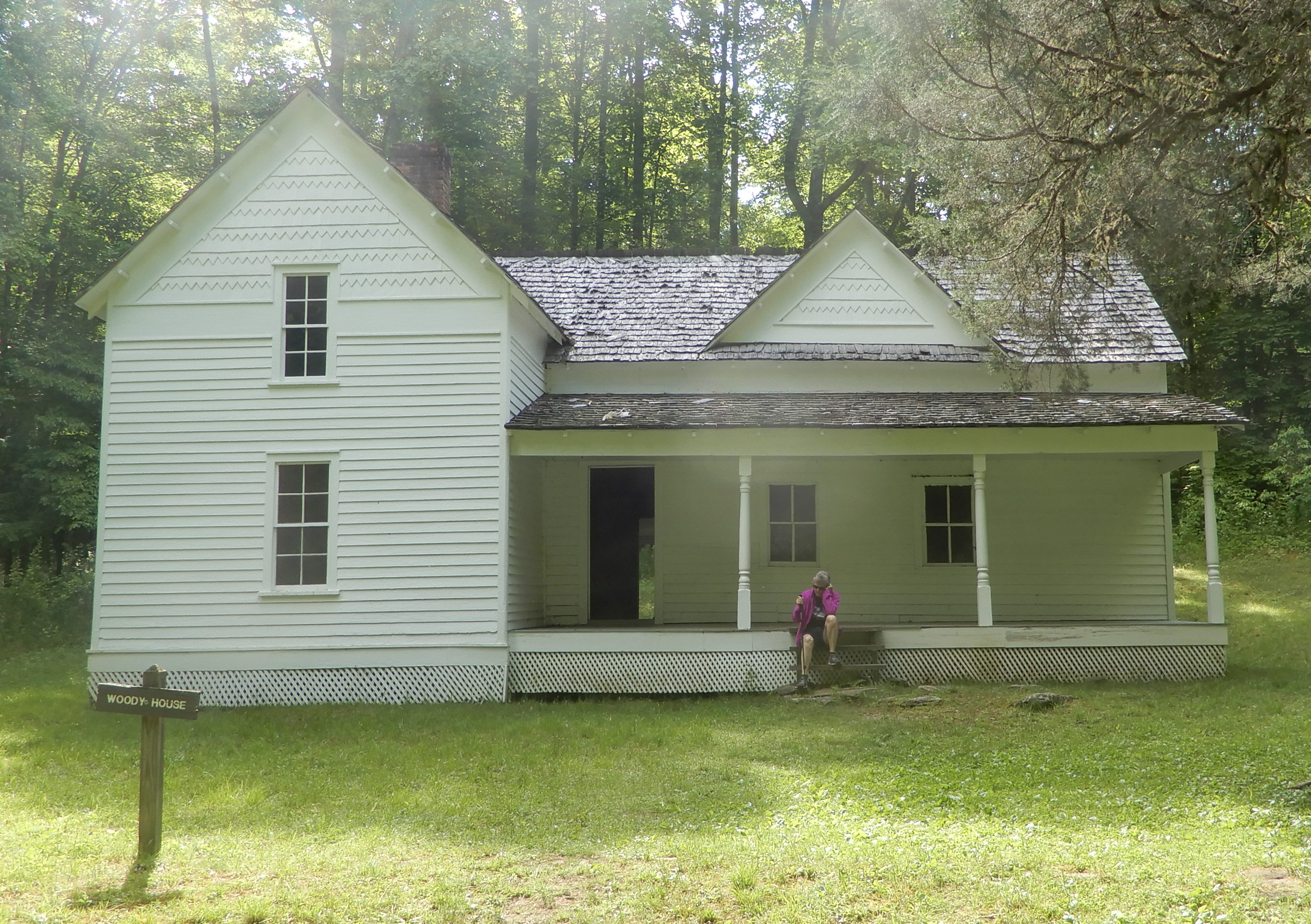
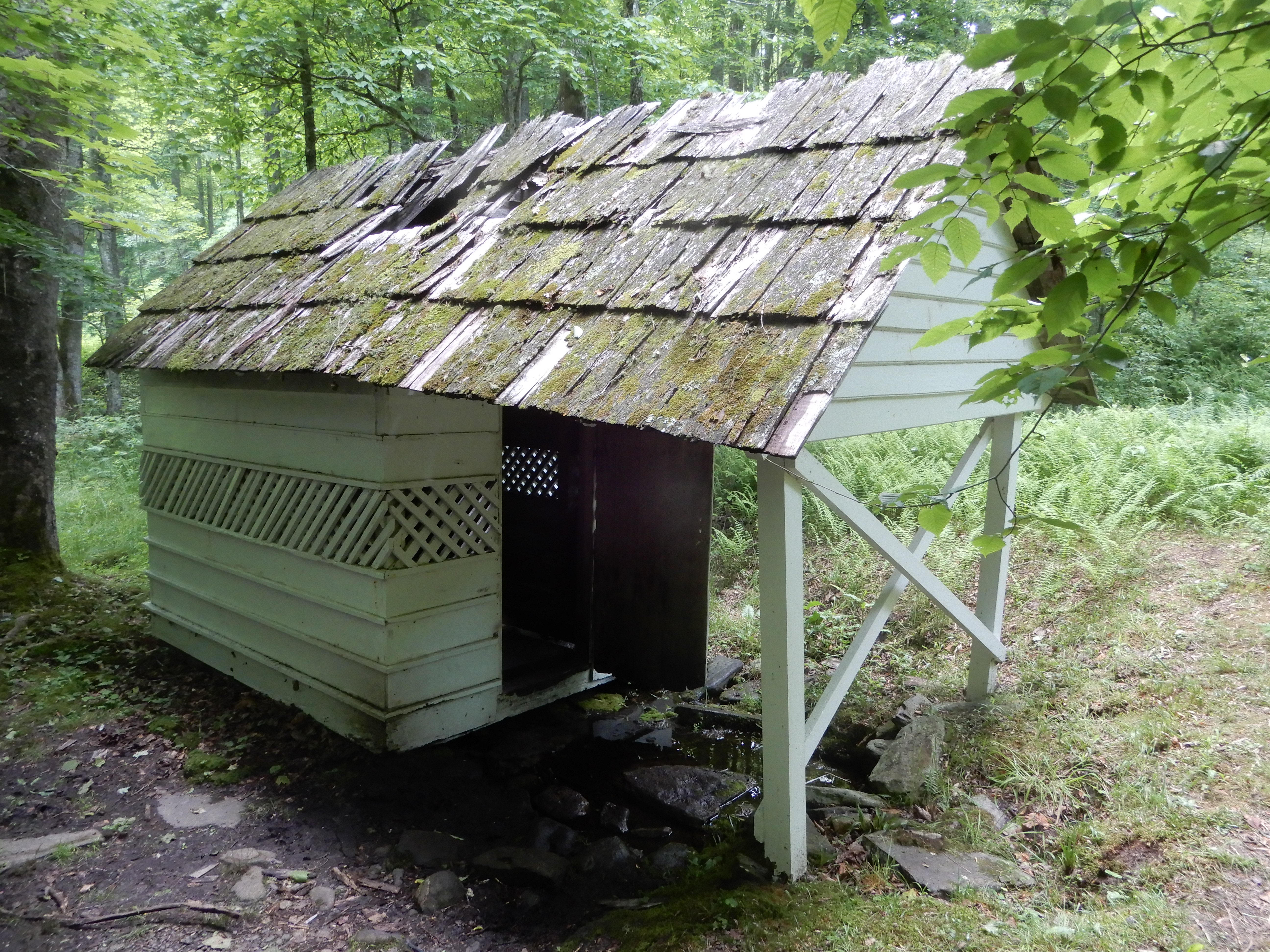
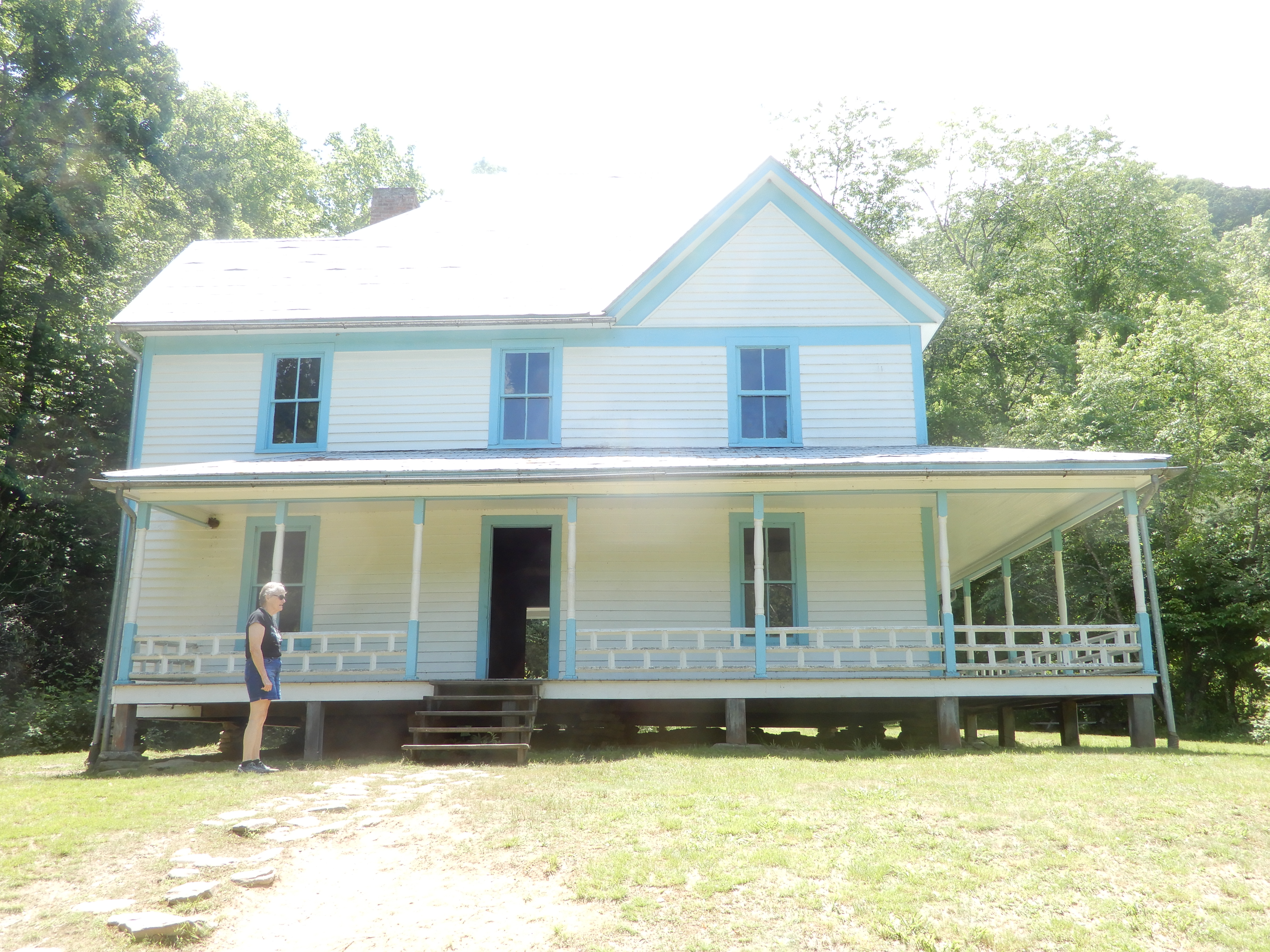
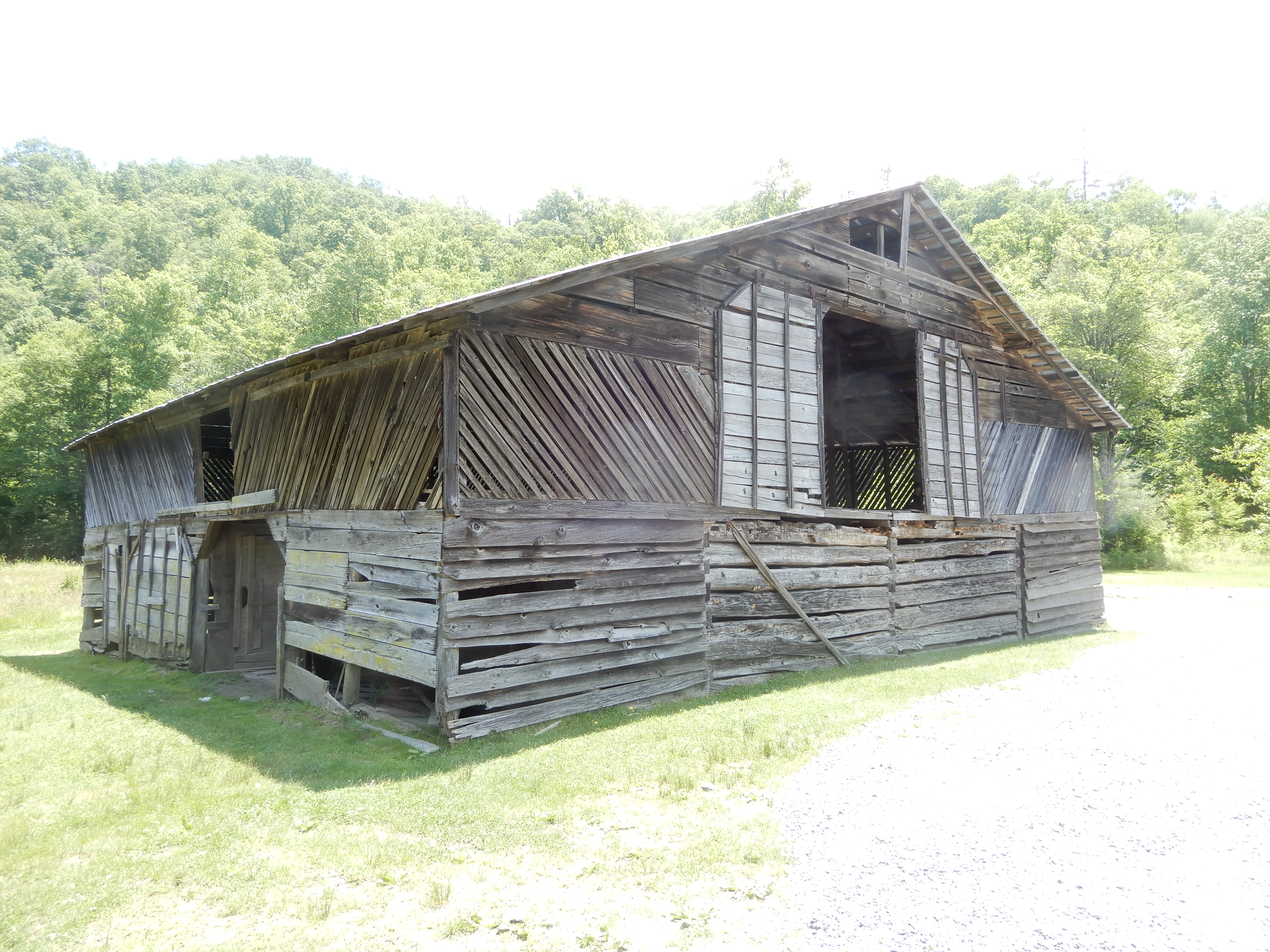
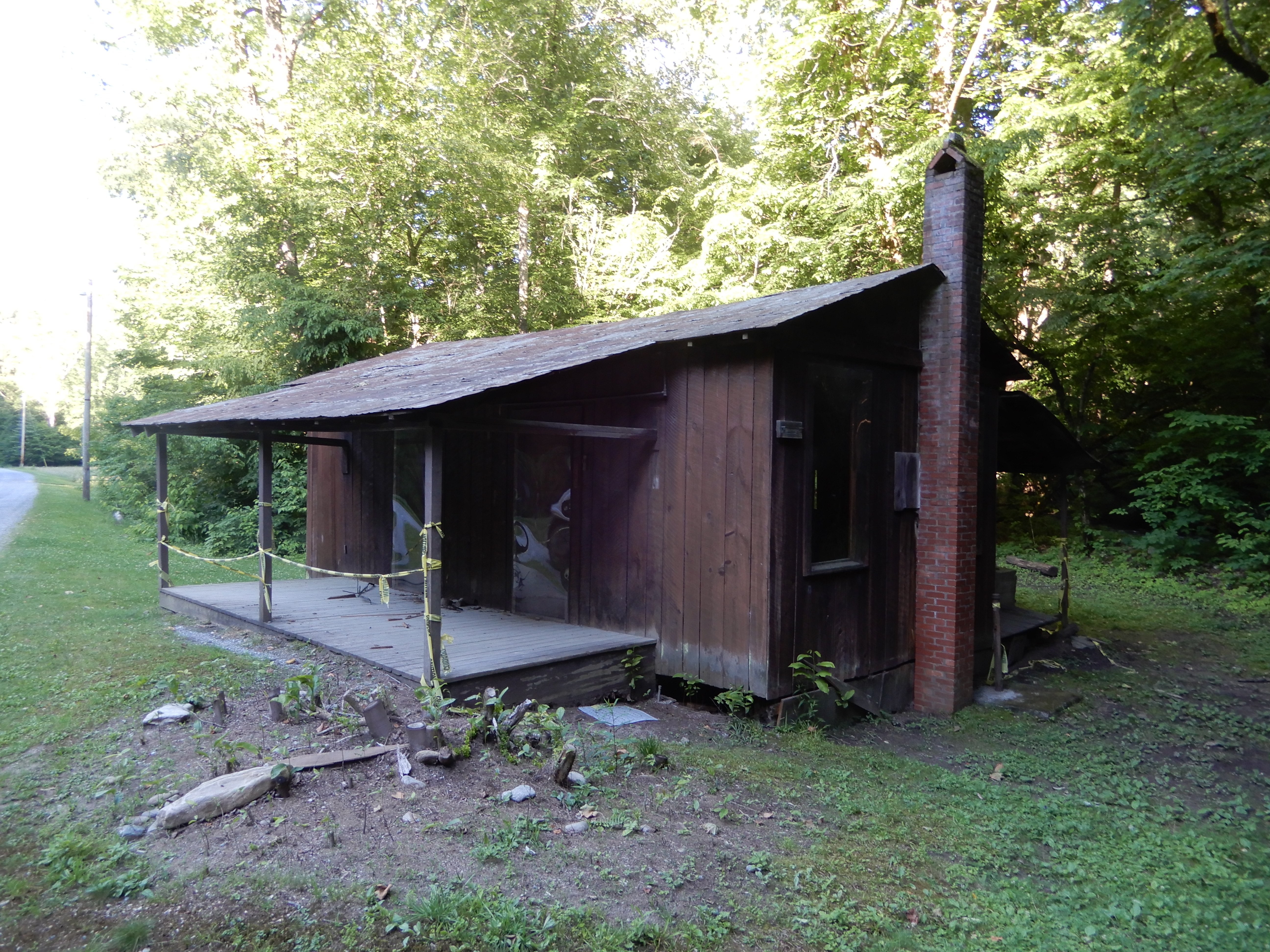
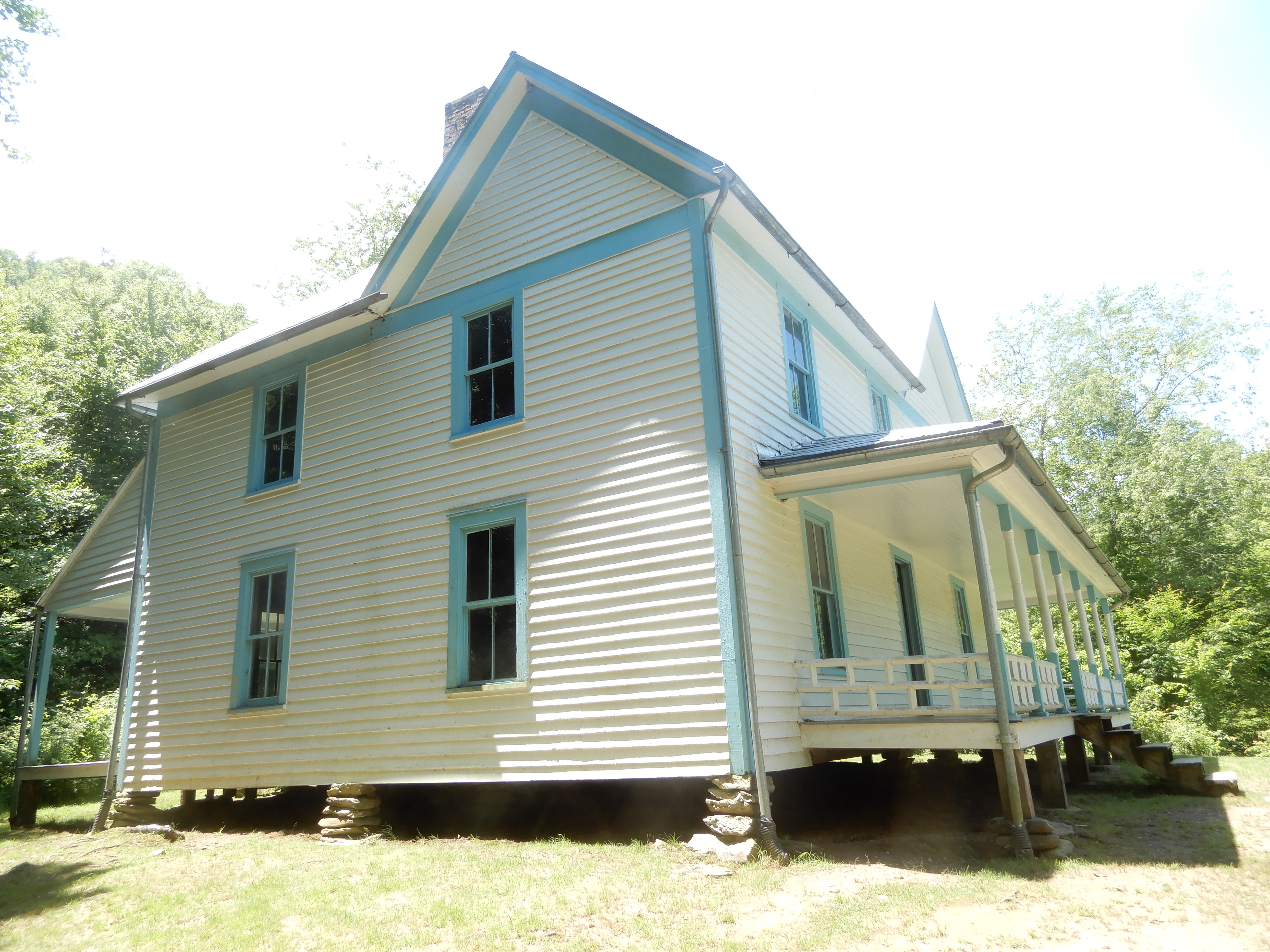
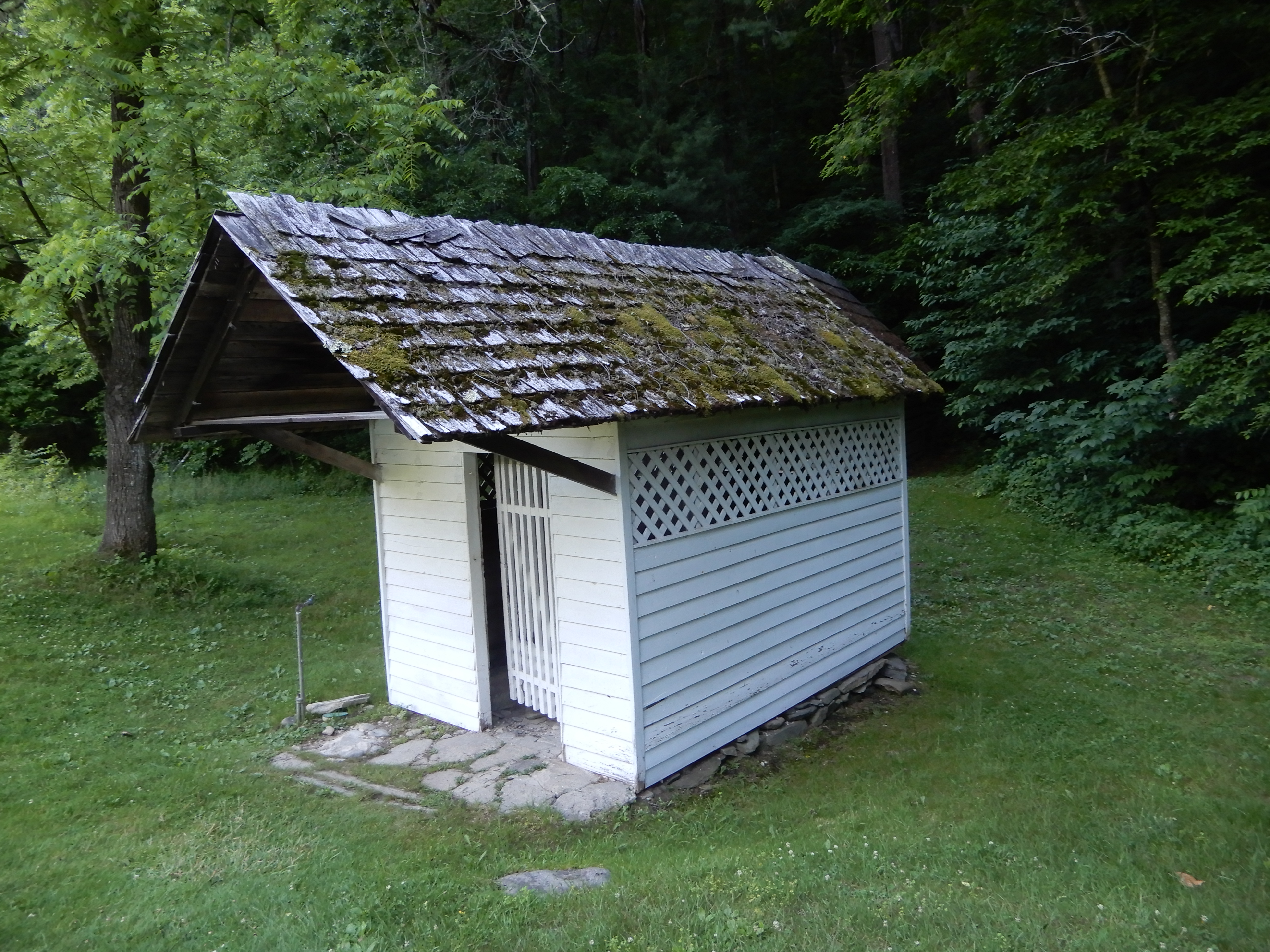
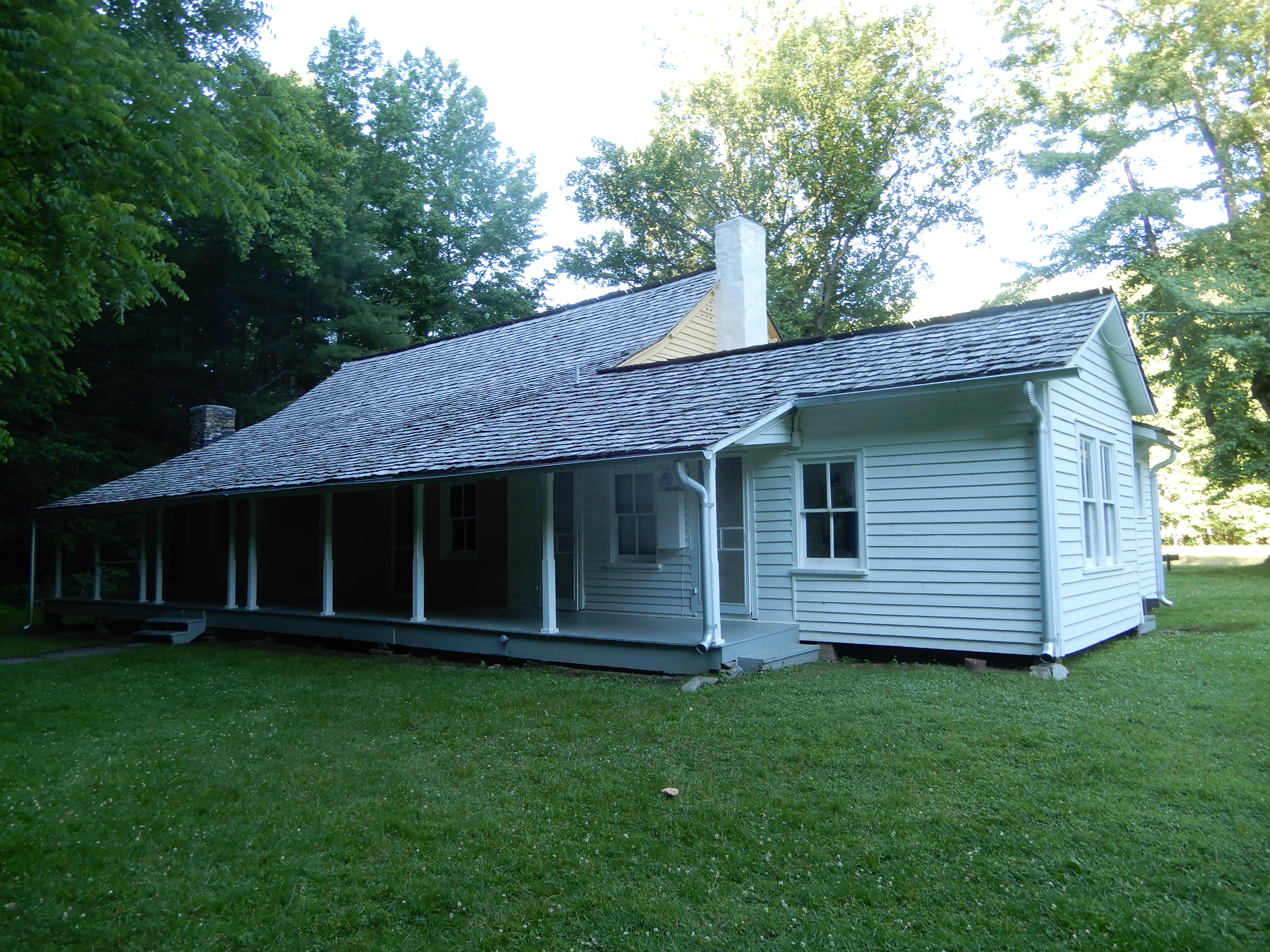
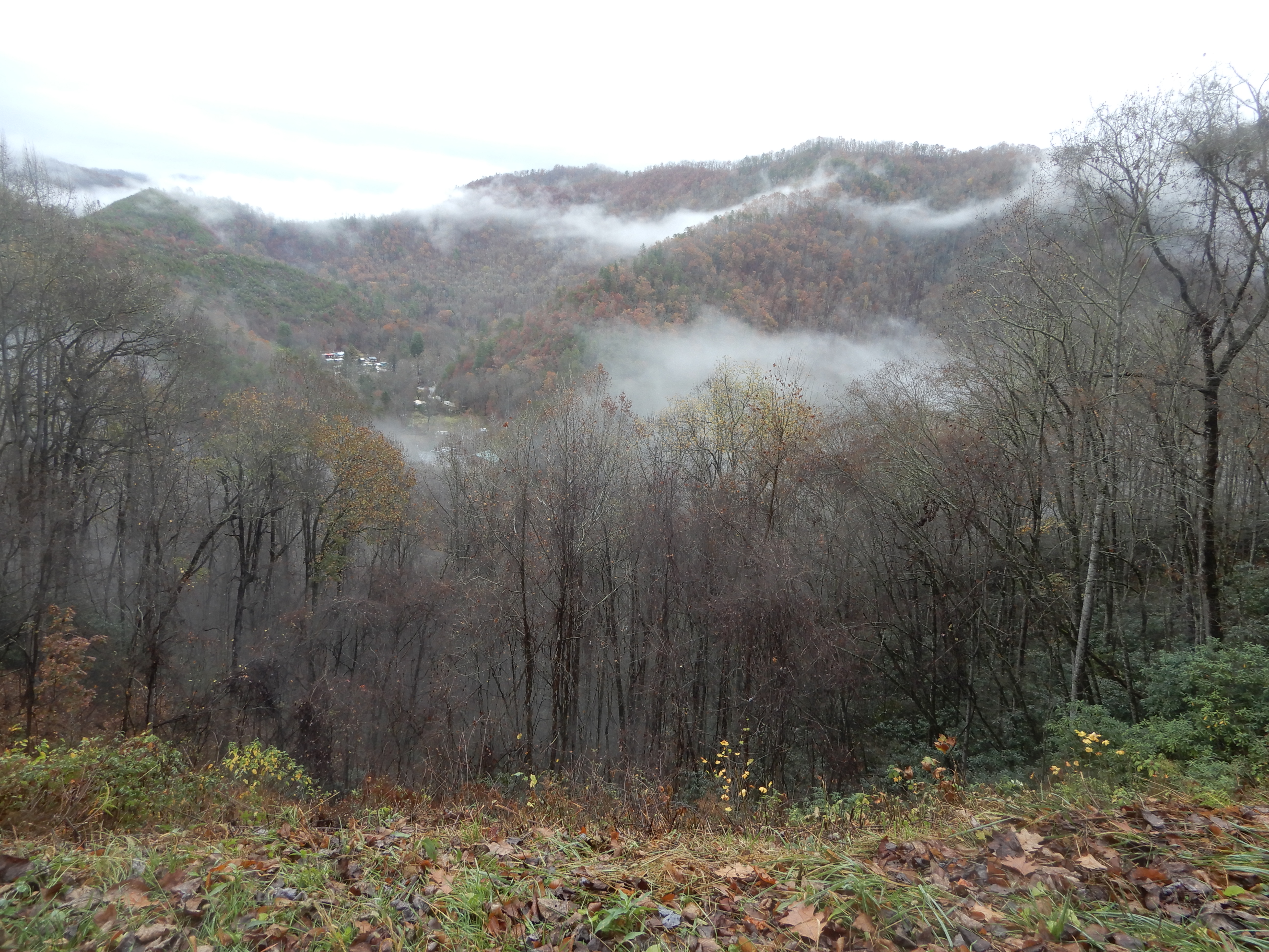
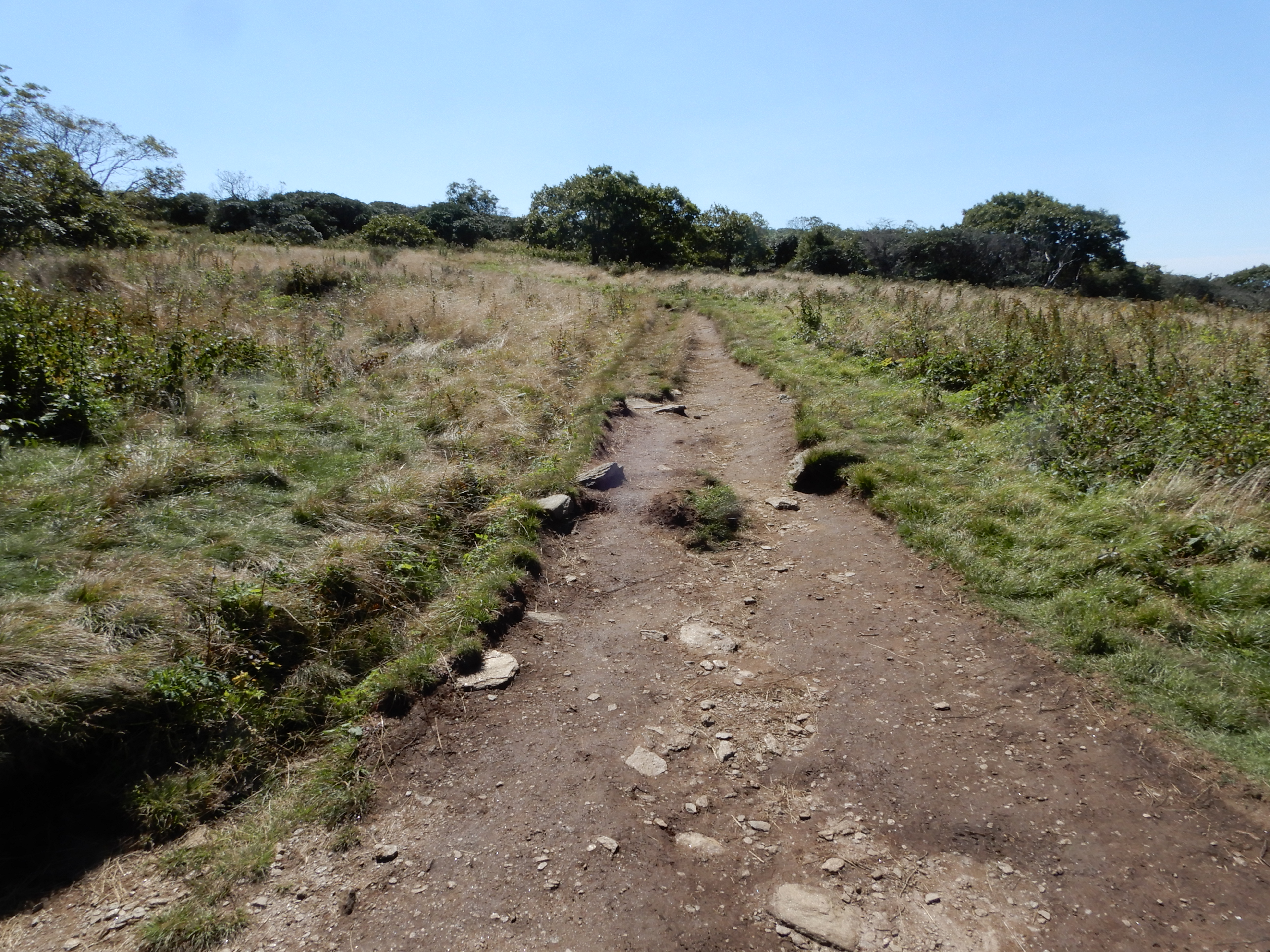
Elkmont Campground is on the site of an old resort, of which many of the buildings are still standing. So we hiked around to check them out.
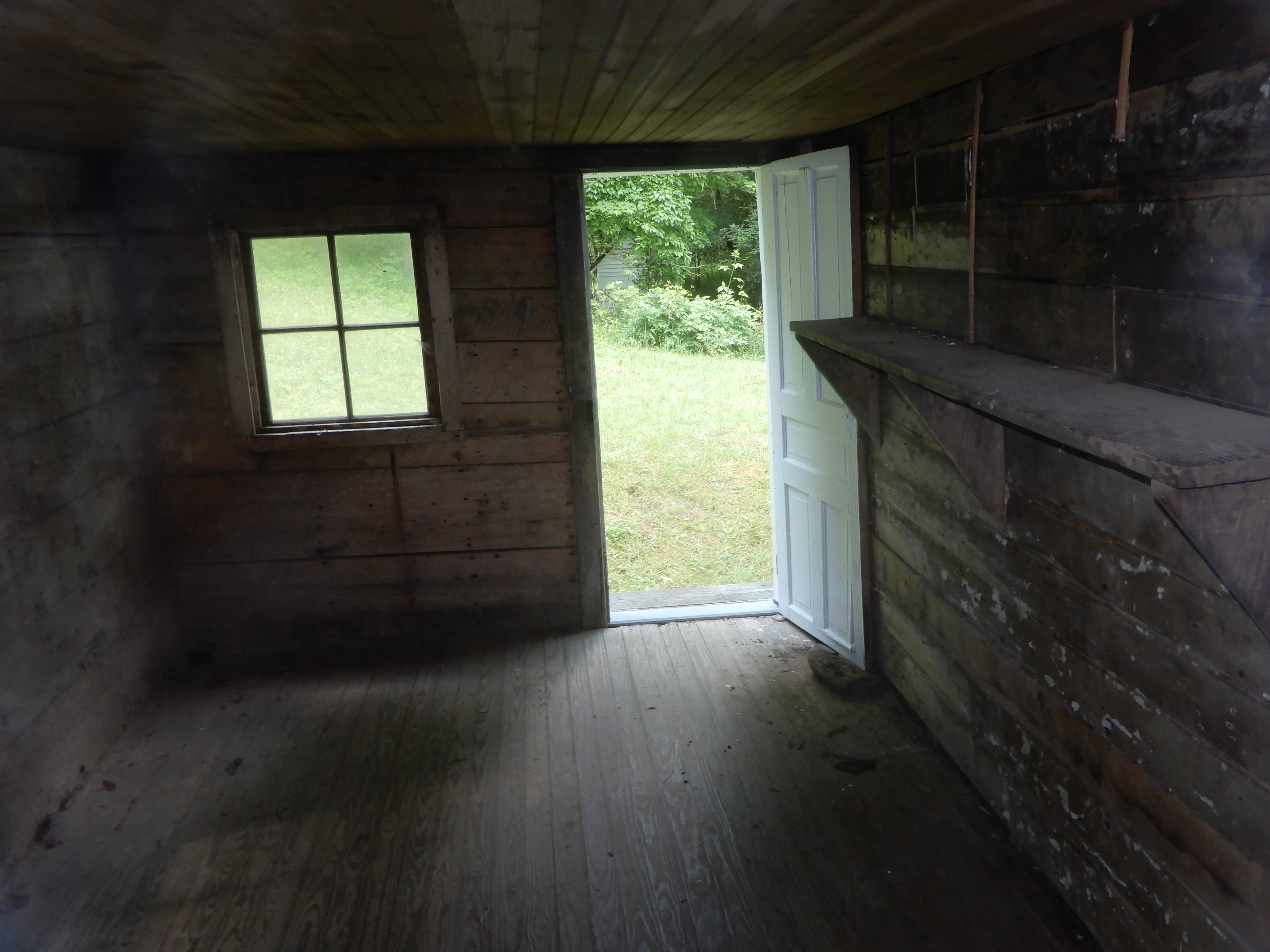
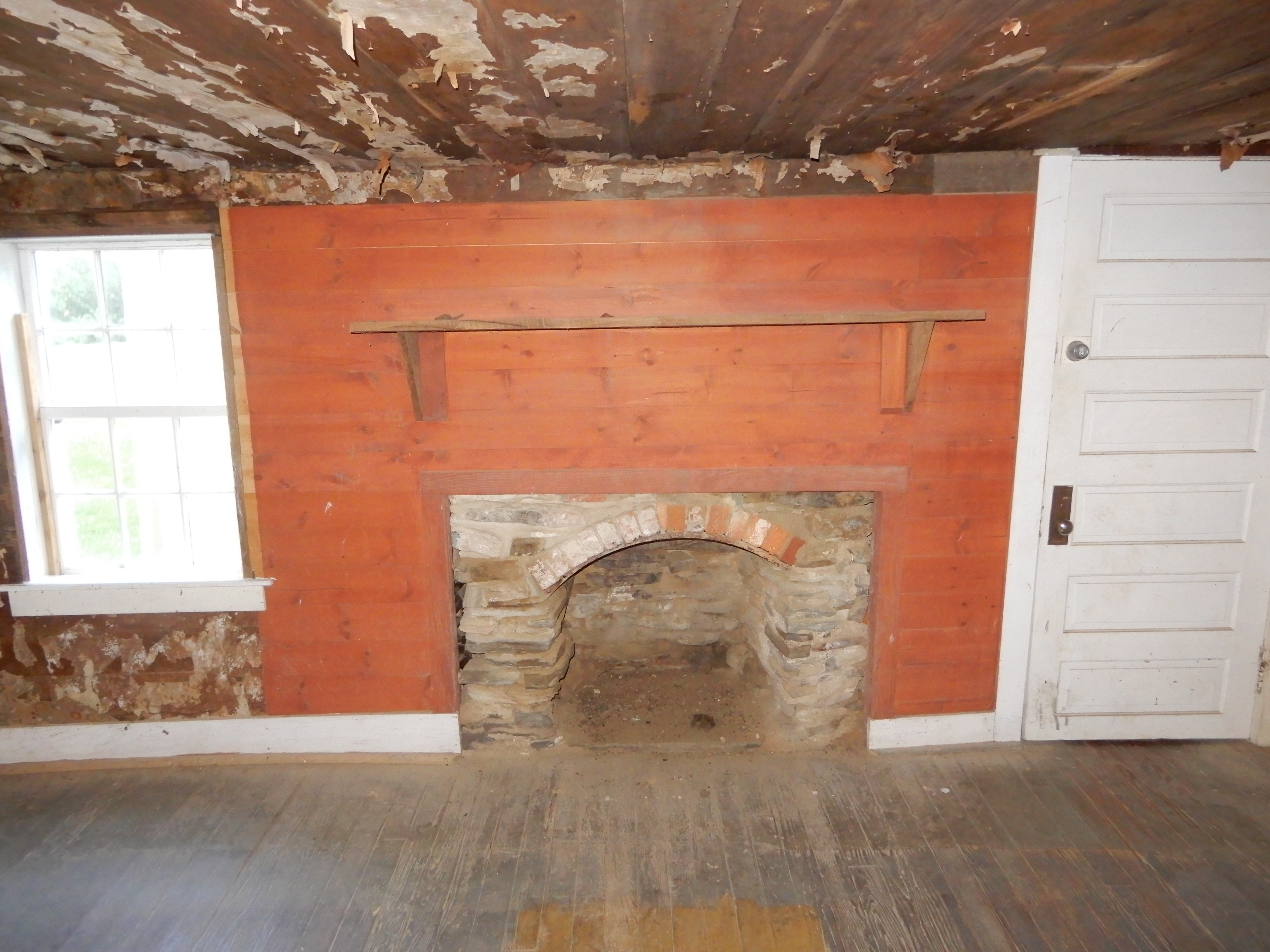
Some you could enter.
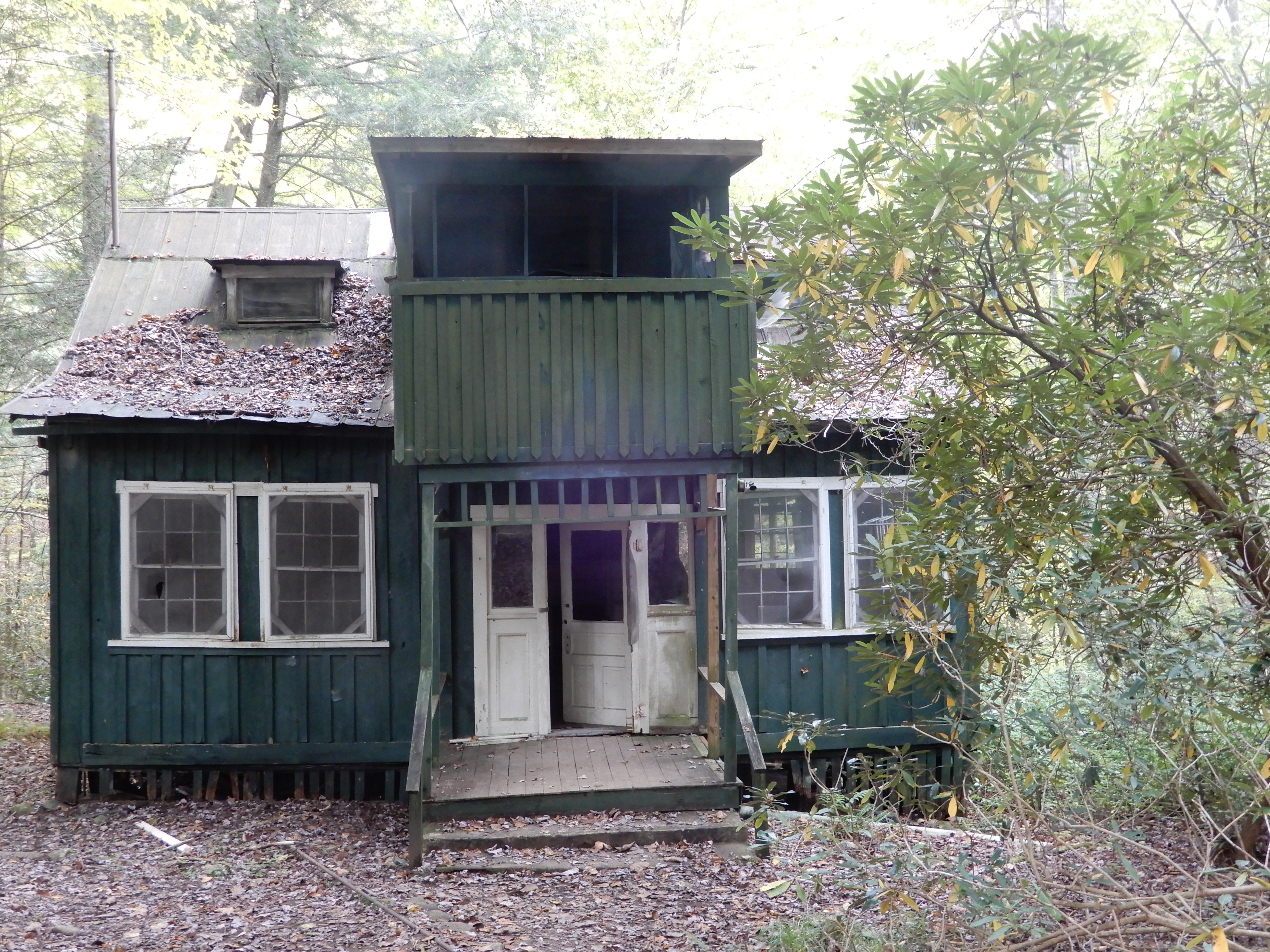
Some you couldn’t.
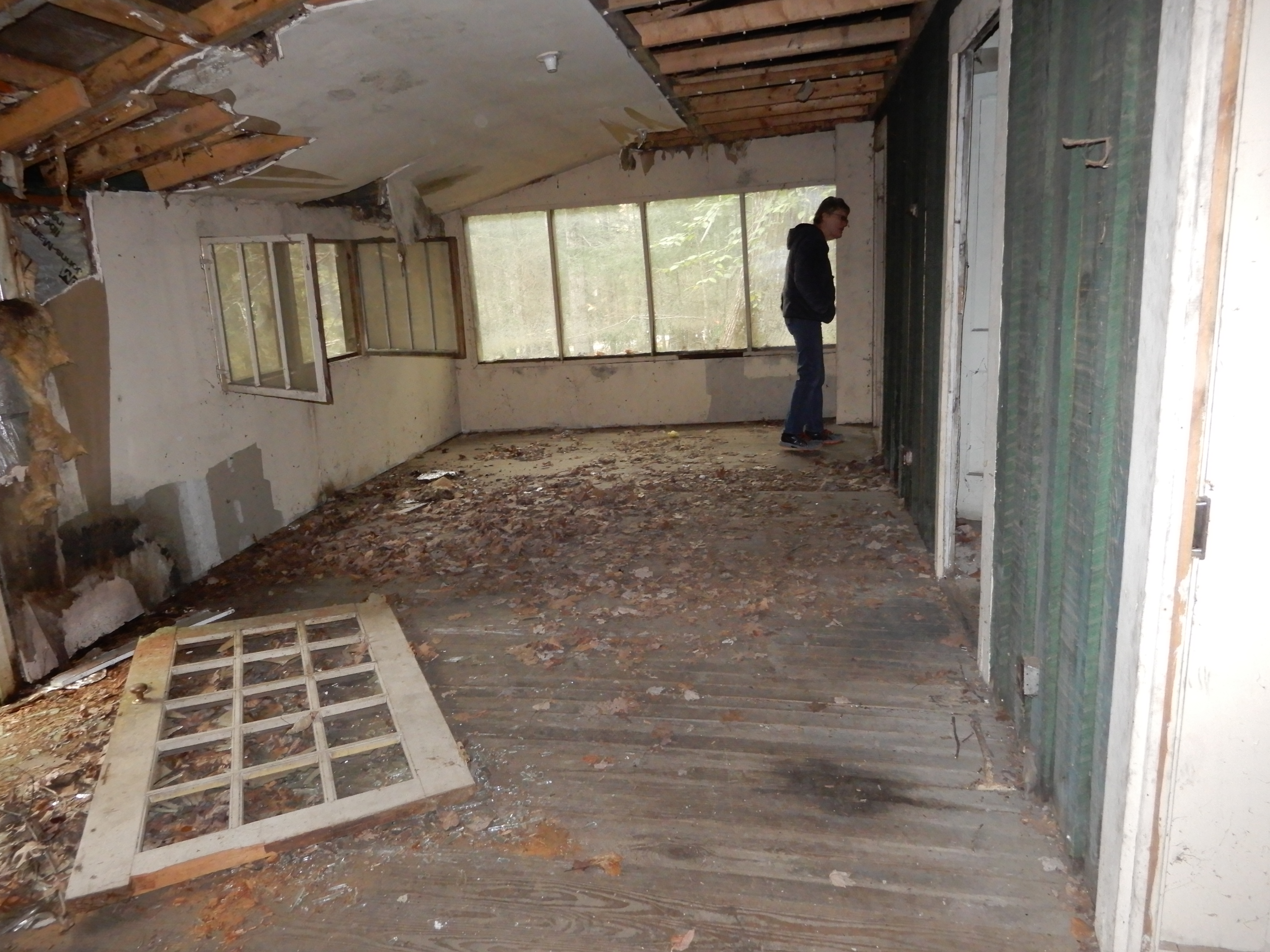
And some we probably shouldn’t have, but they were open.
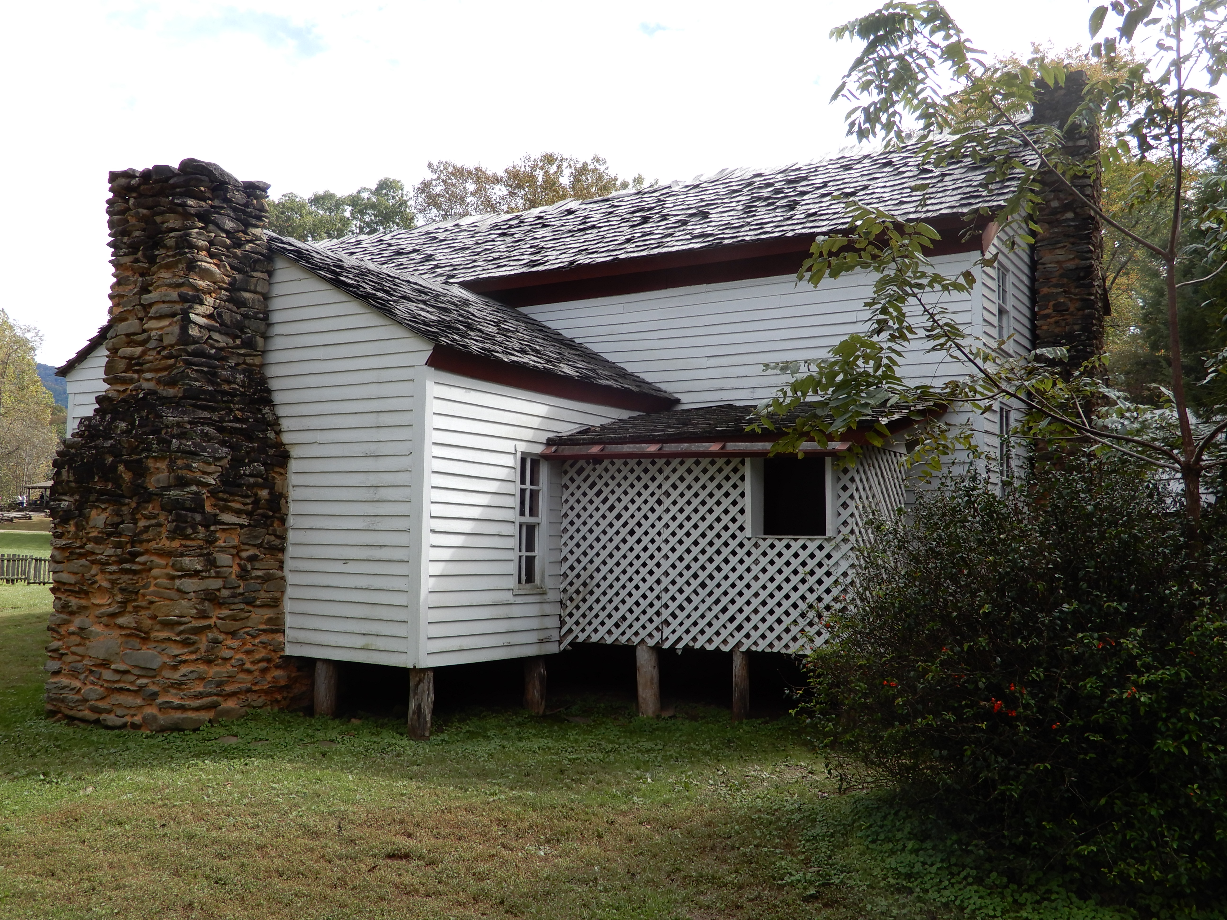
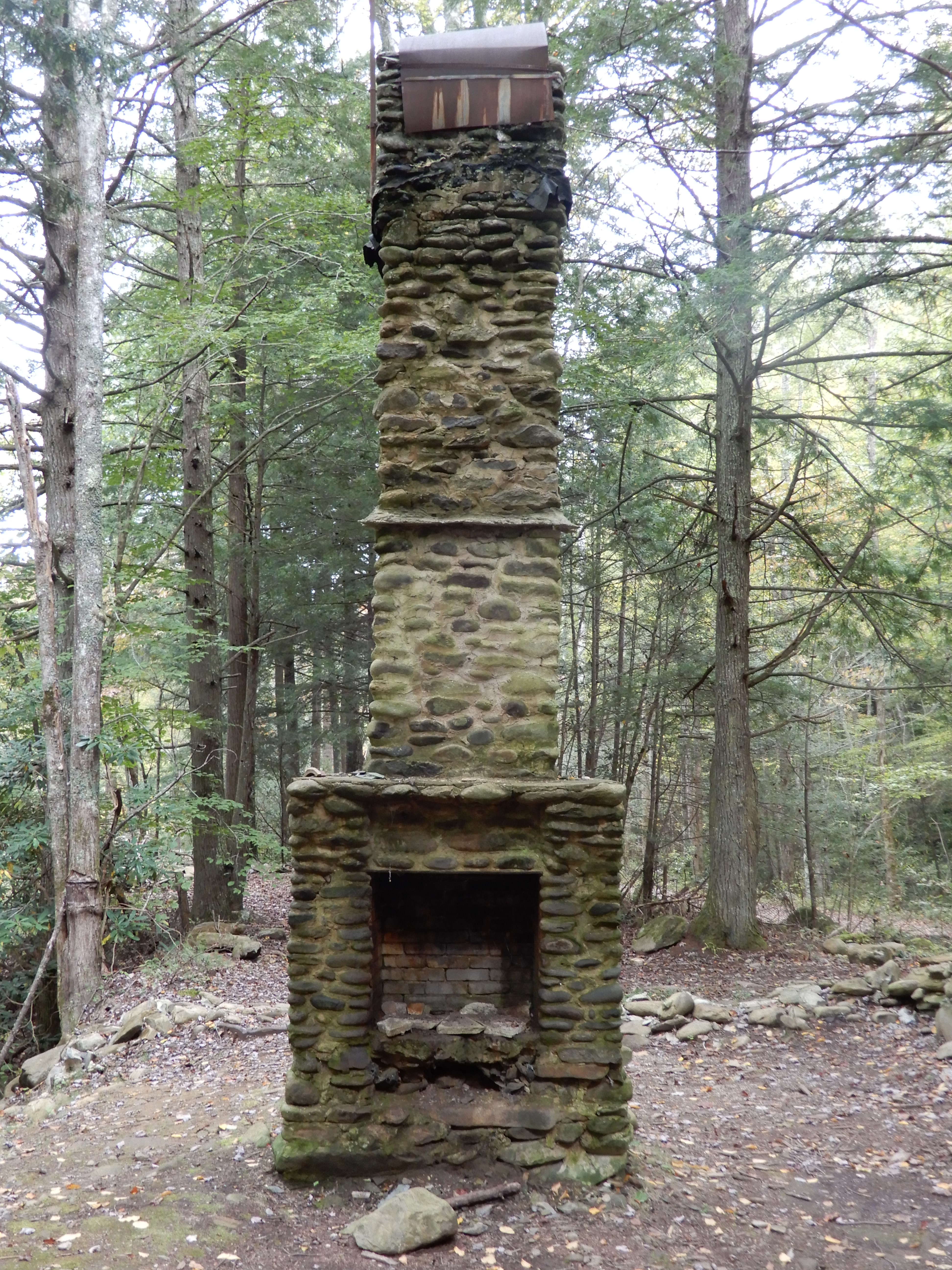
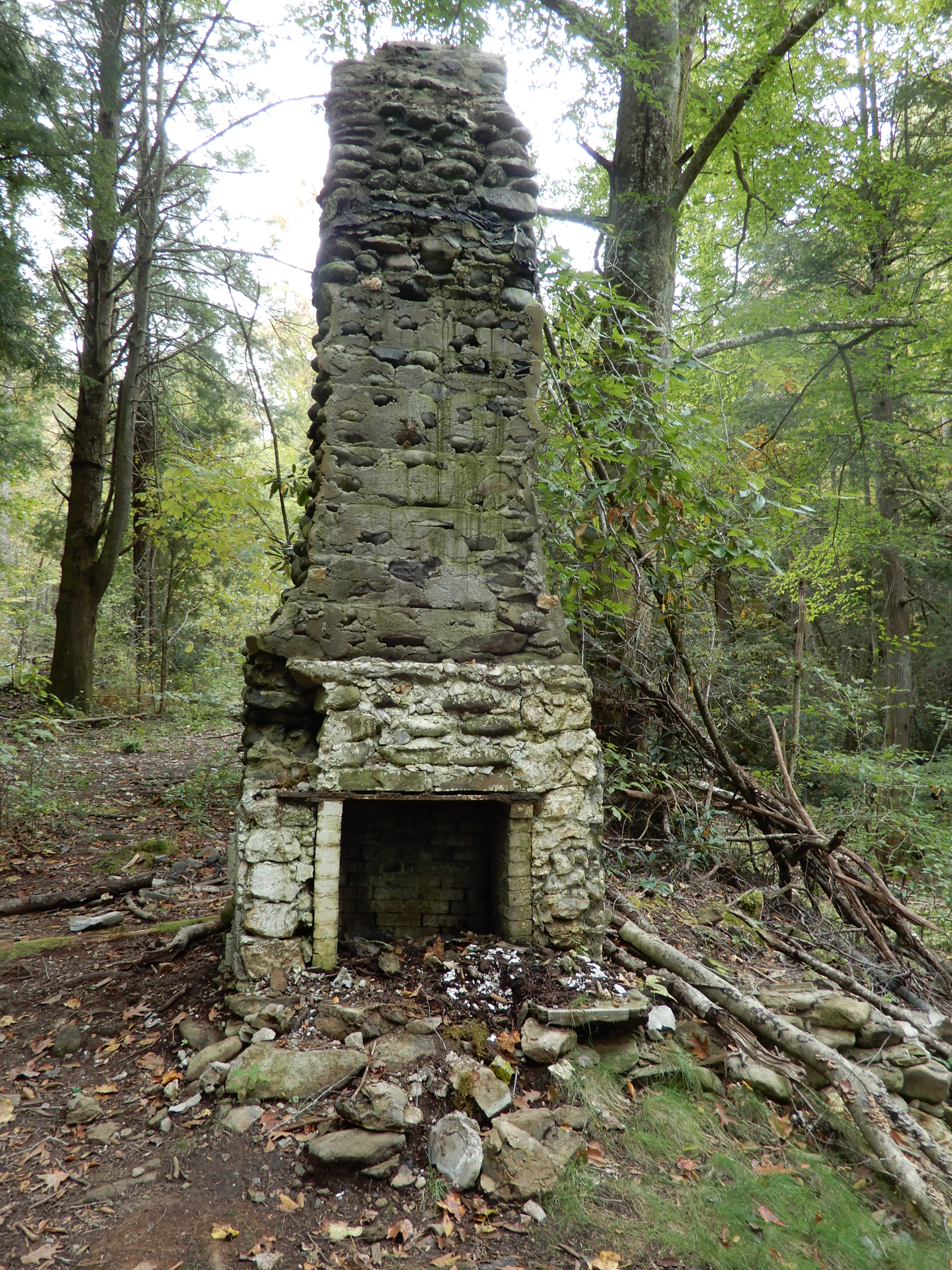
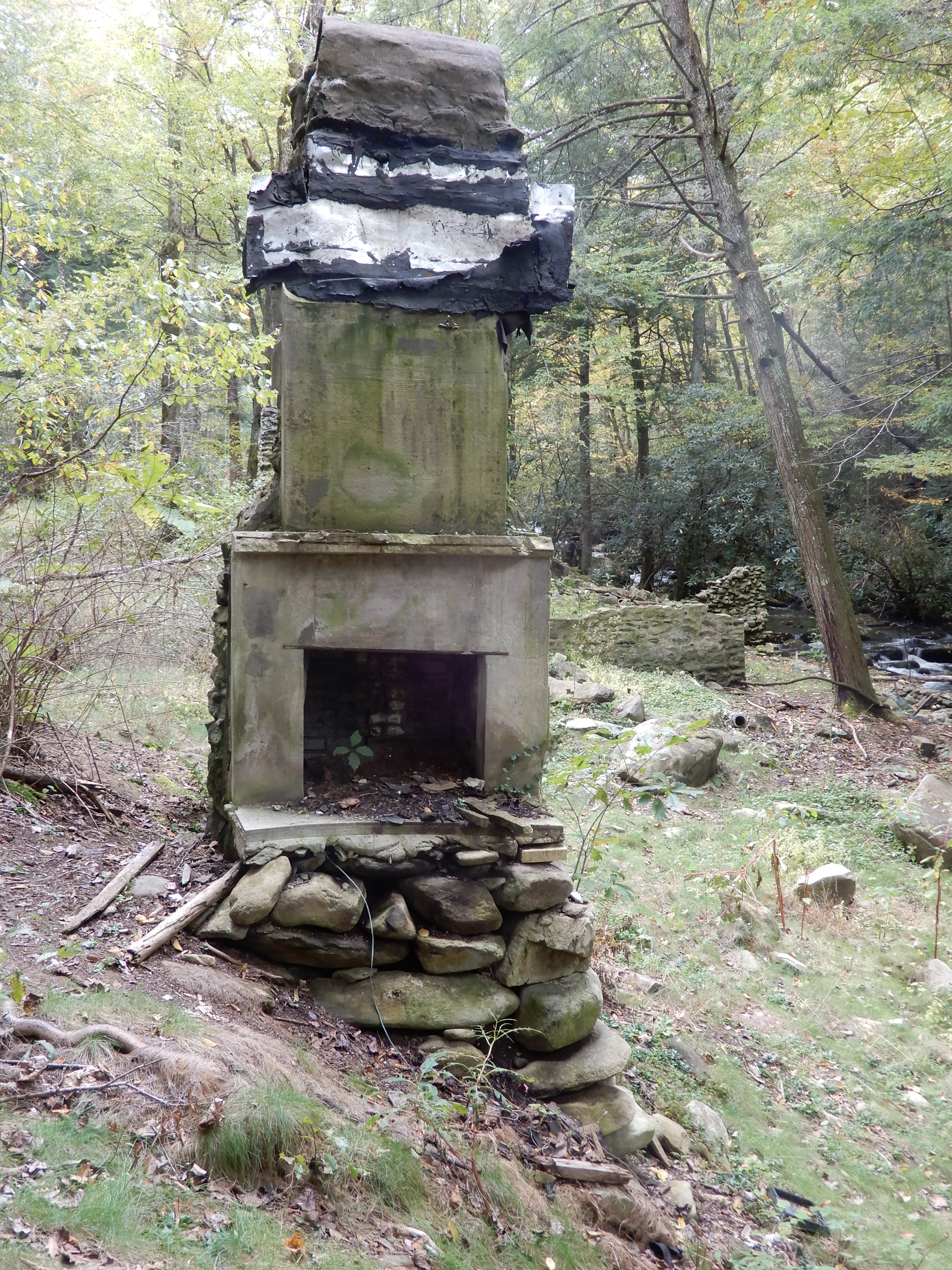
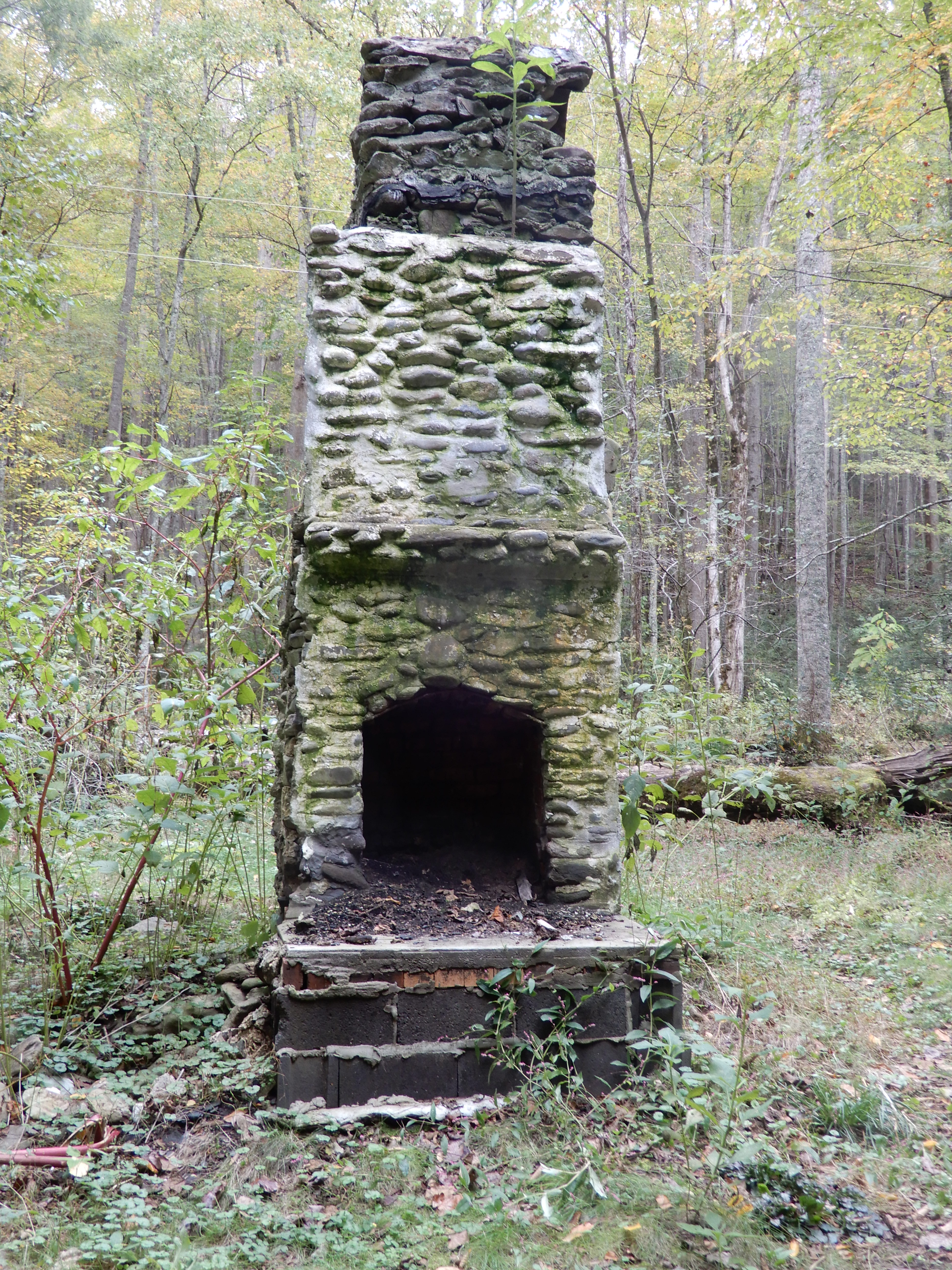
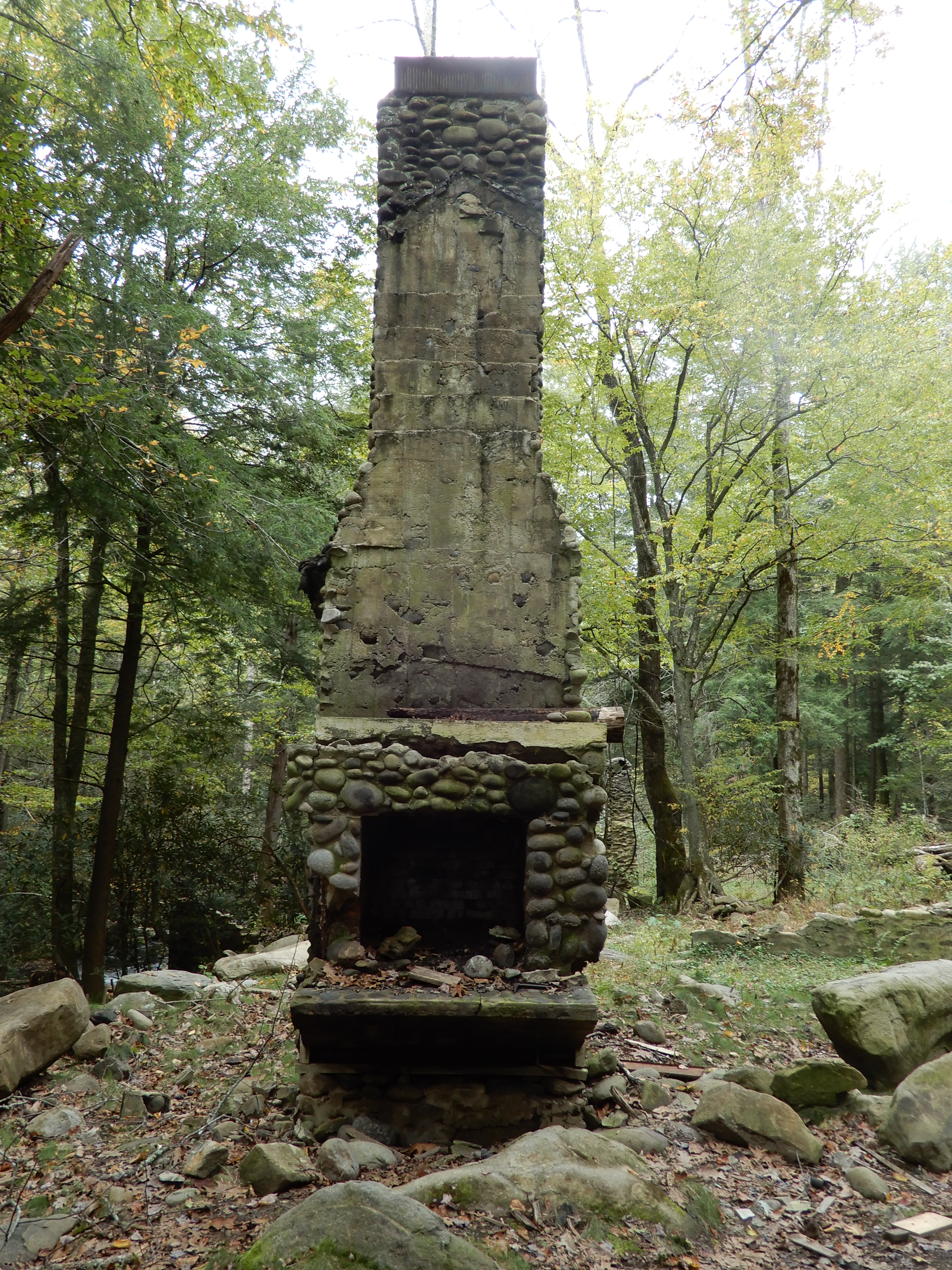
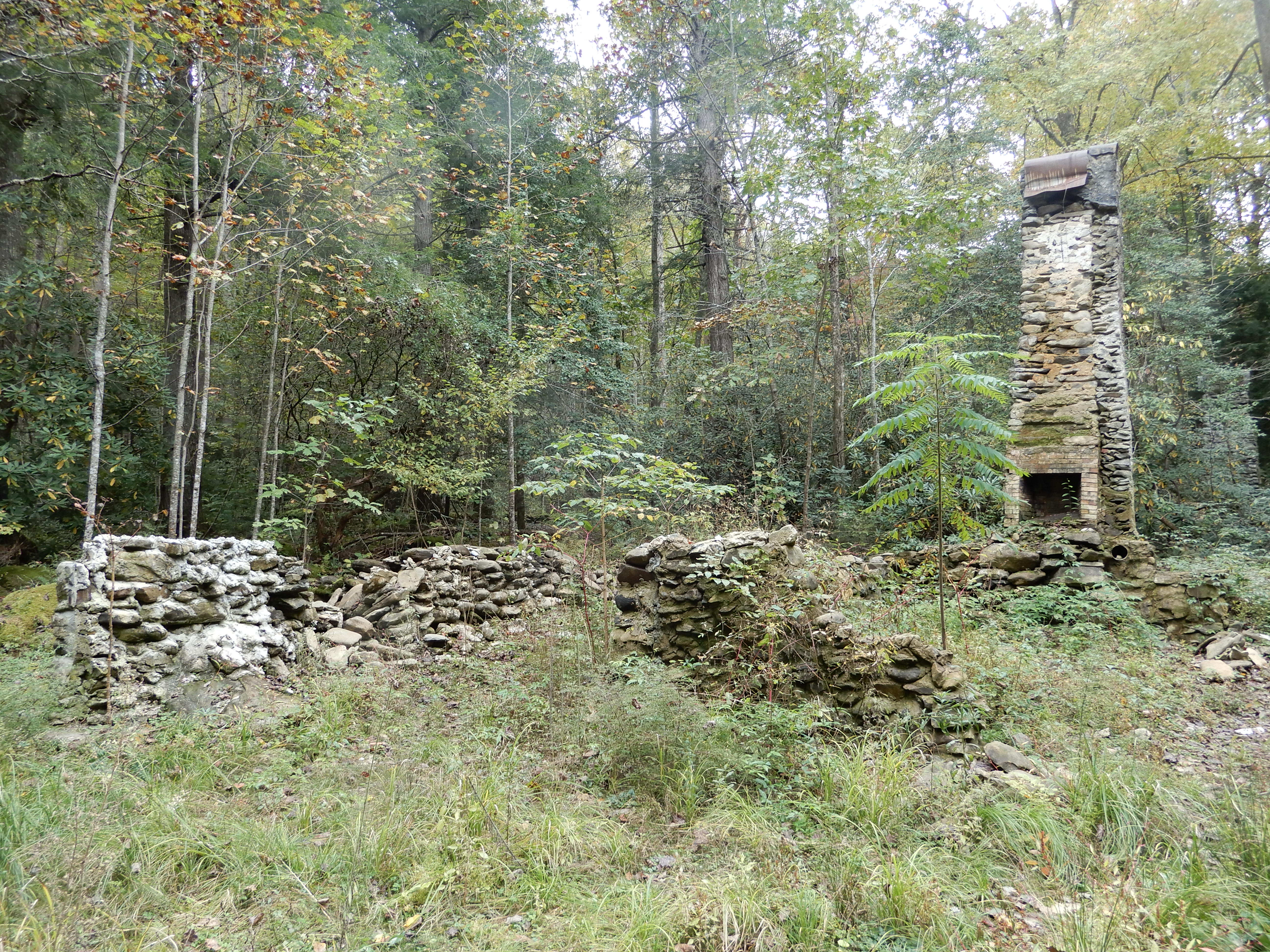
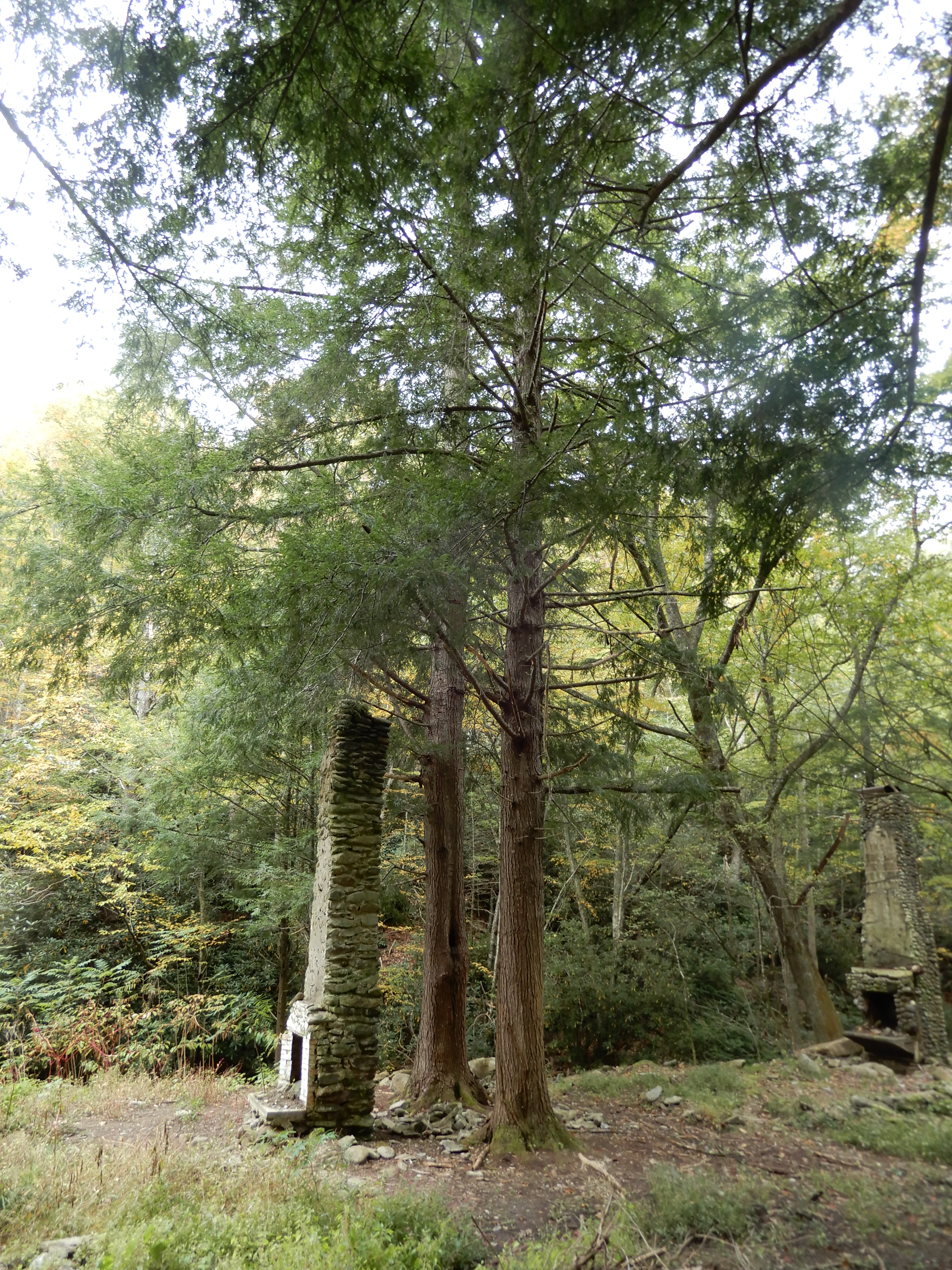
In one area all that remained of several buildings were the chimneys.
This site either had a house with 2 chimneys, or there had been 2 small houses rather close together.
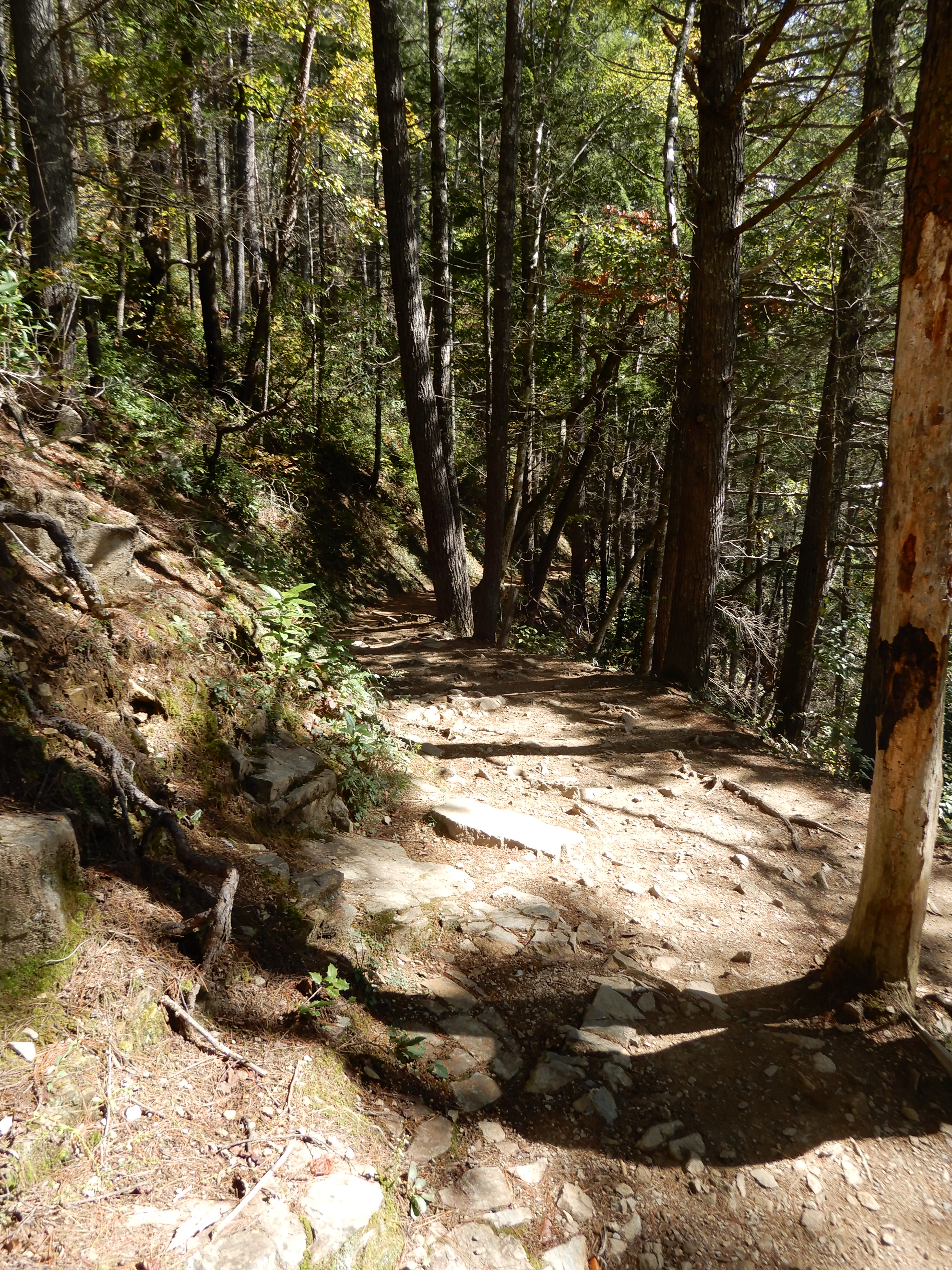
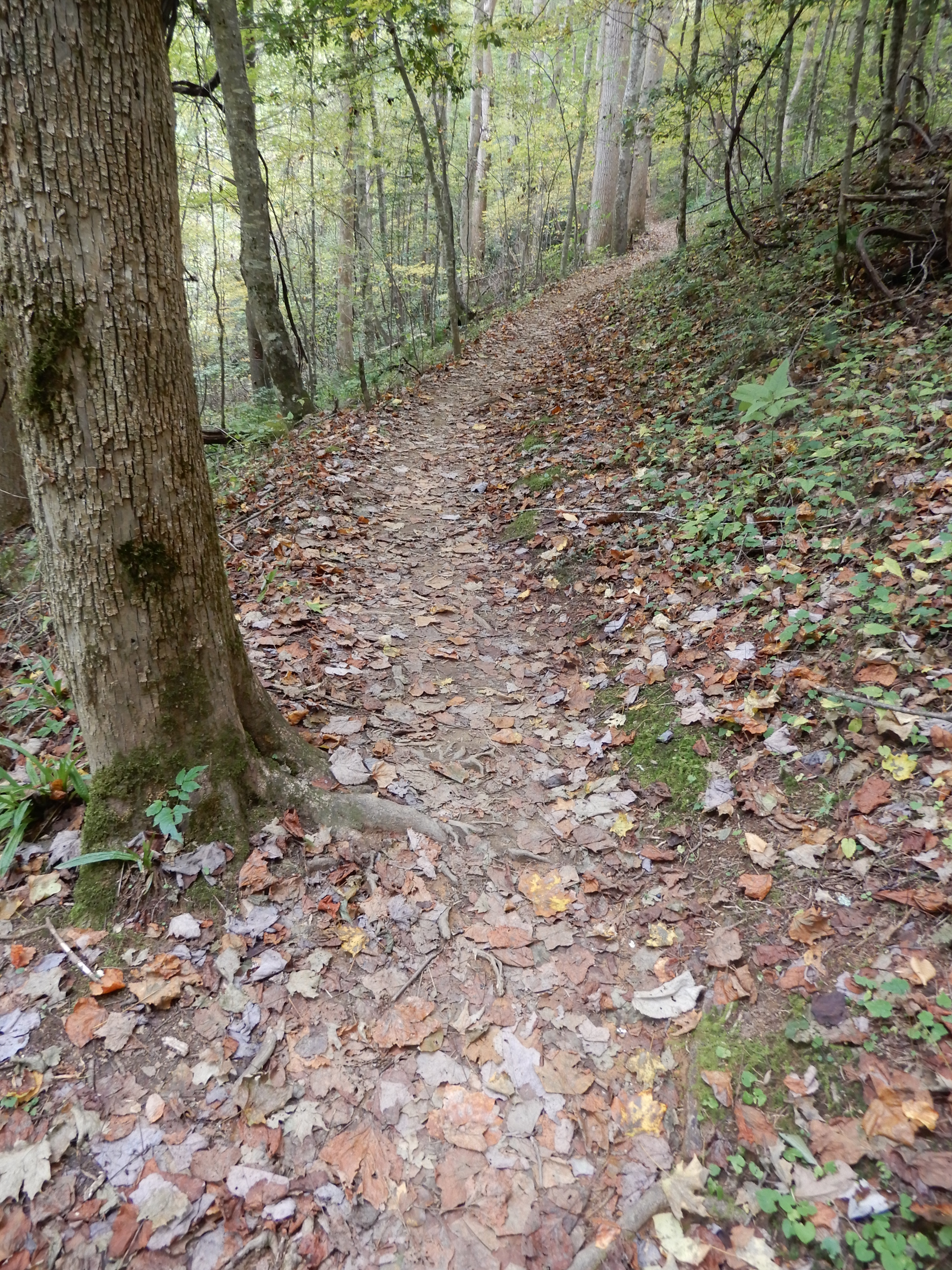
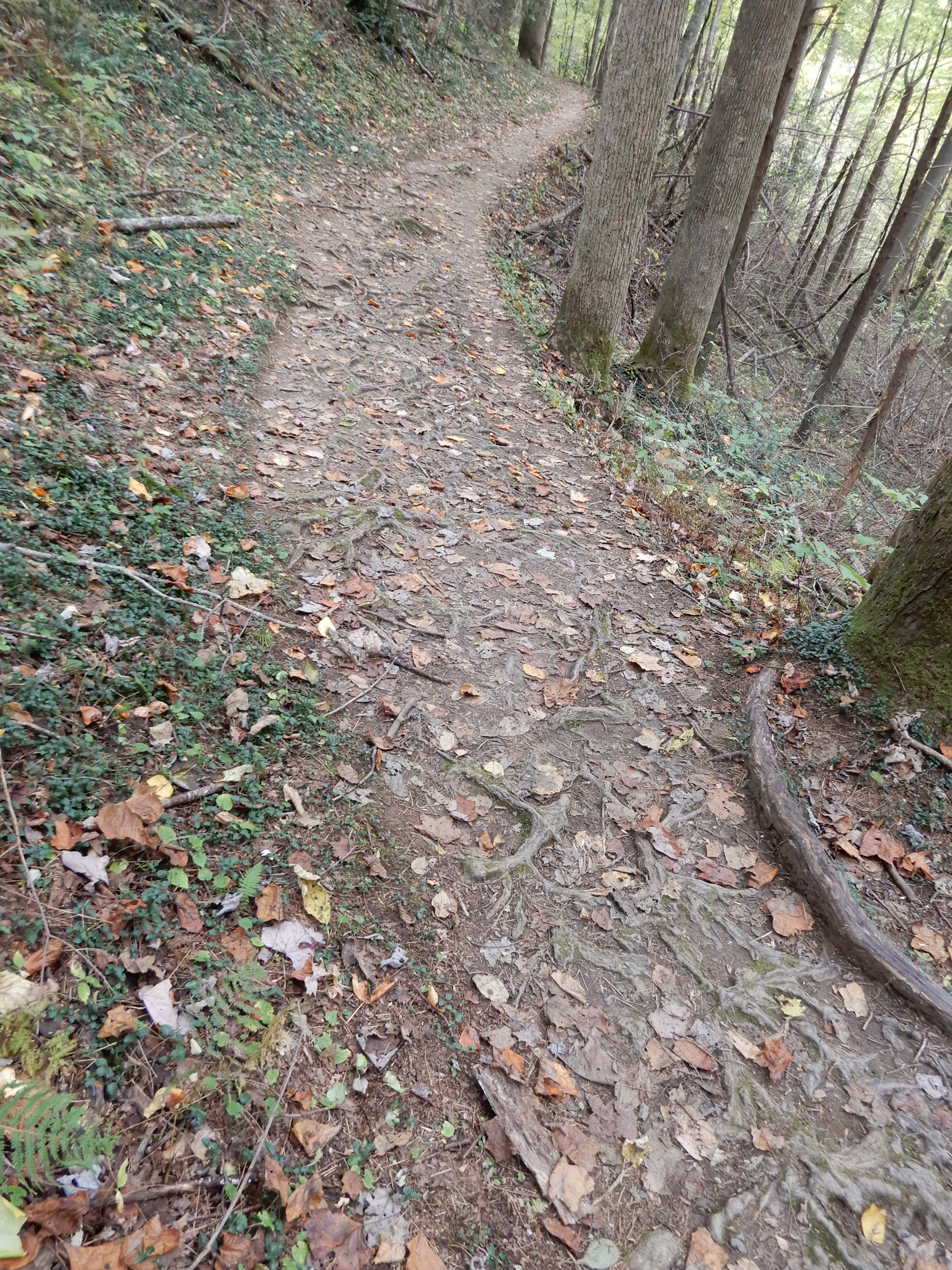
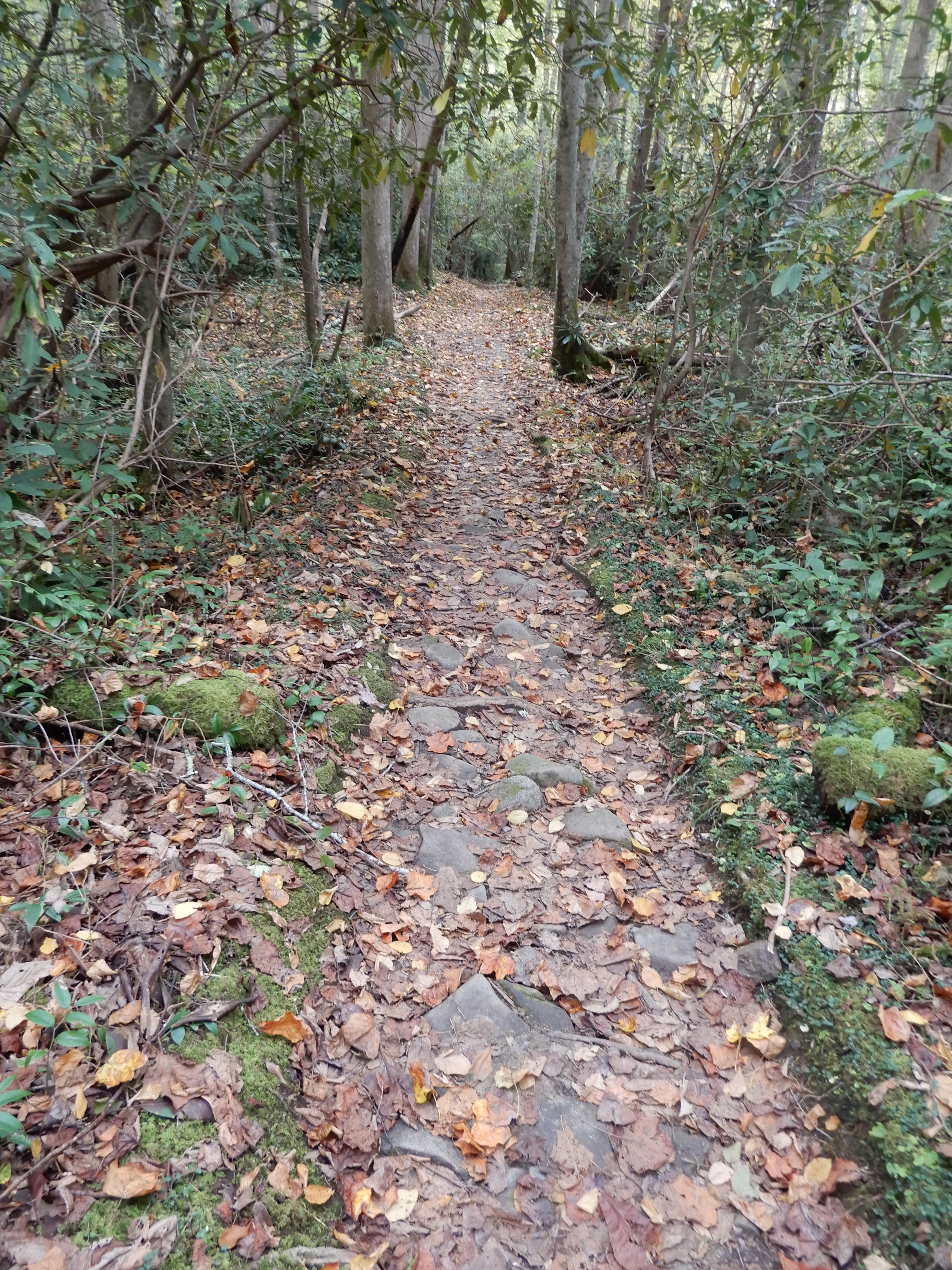
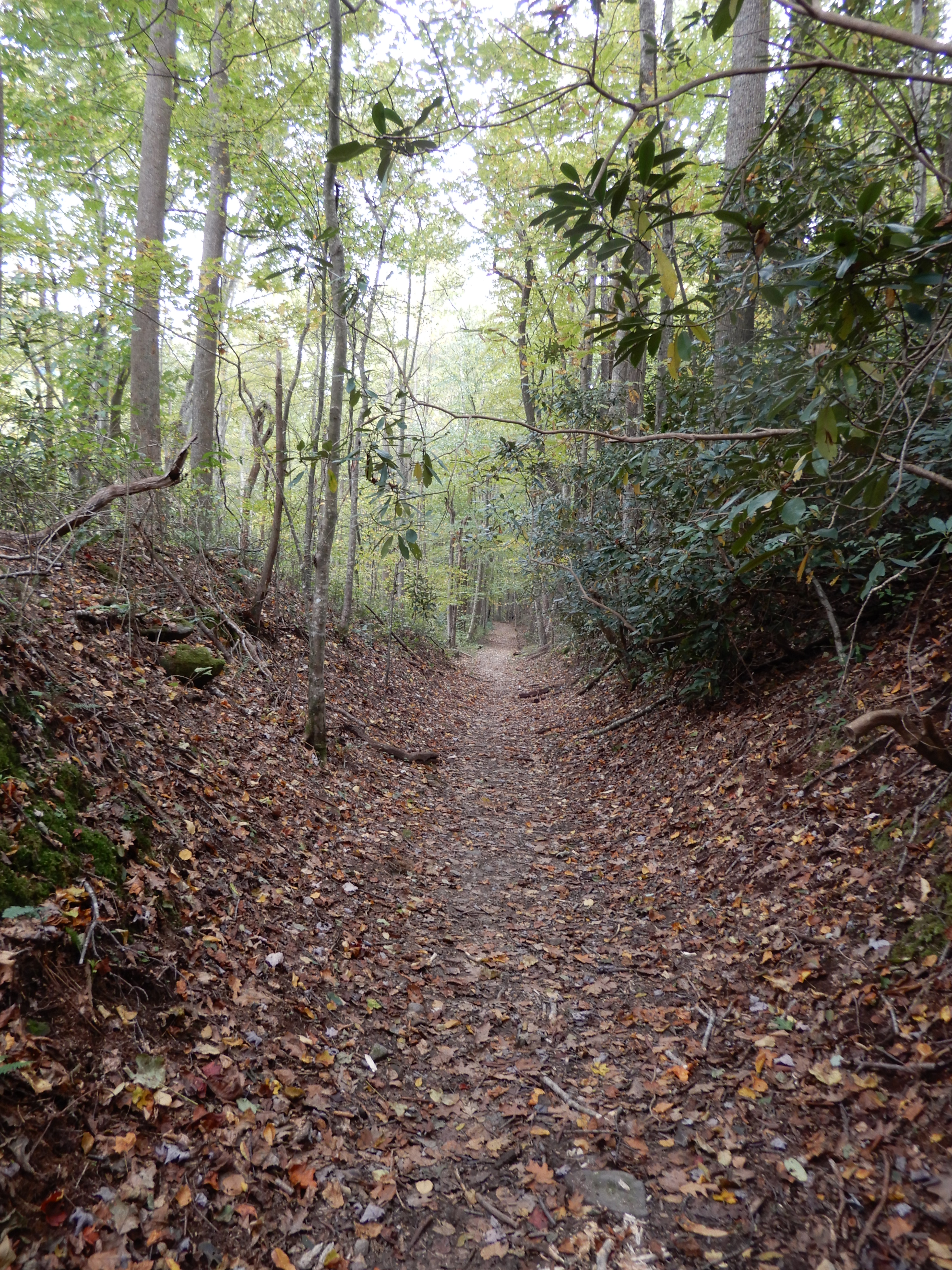
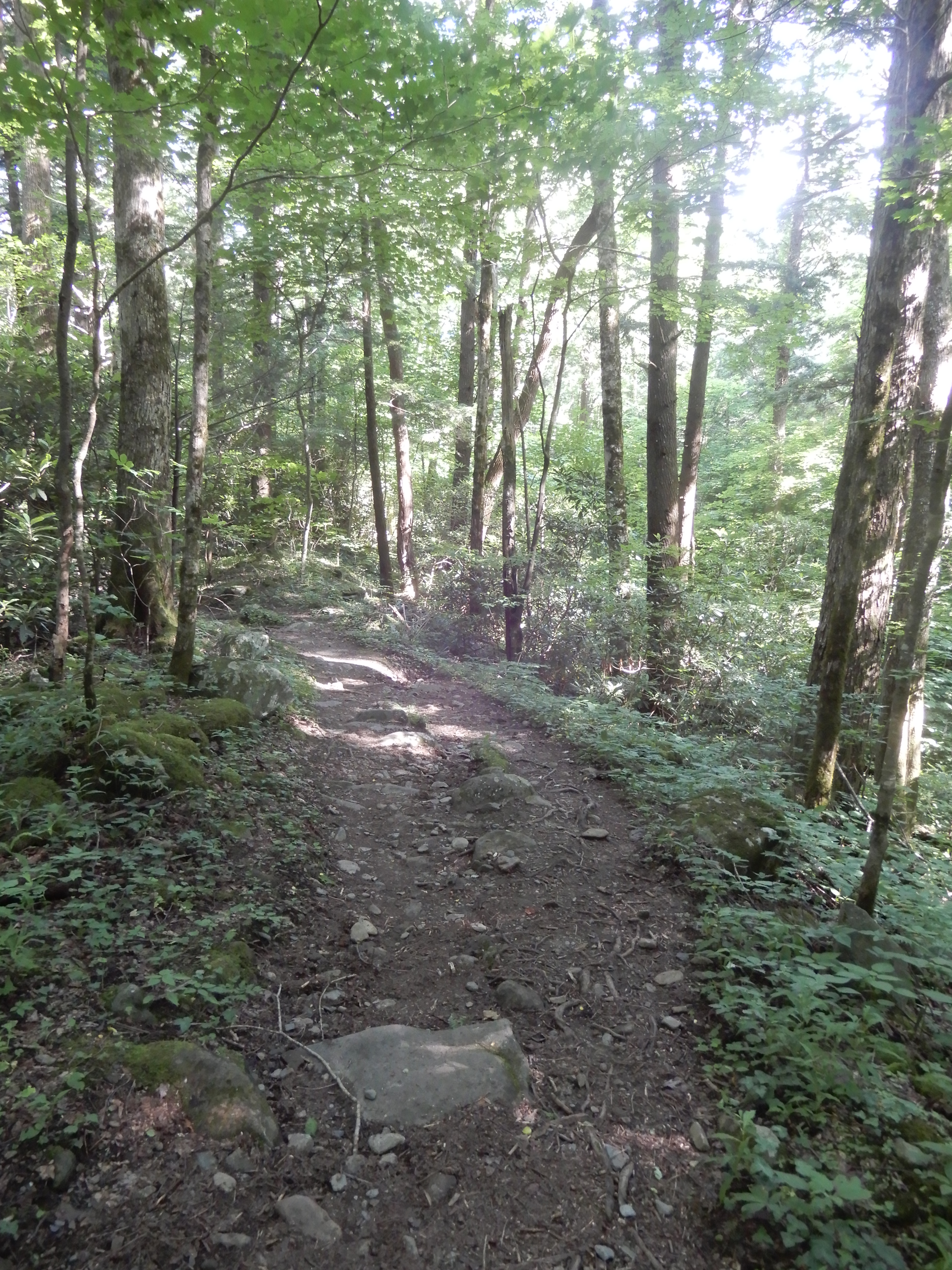
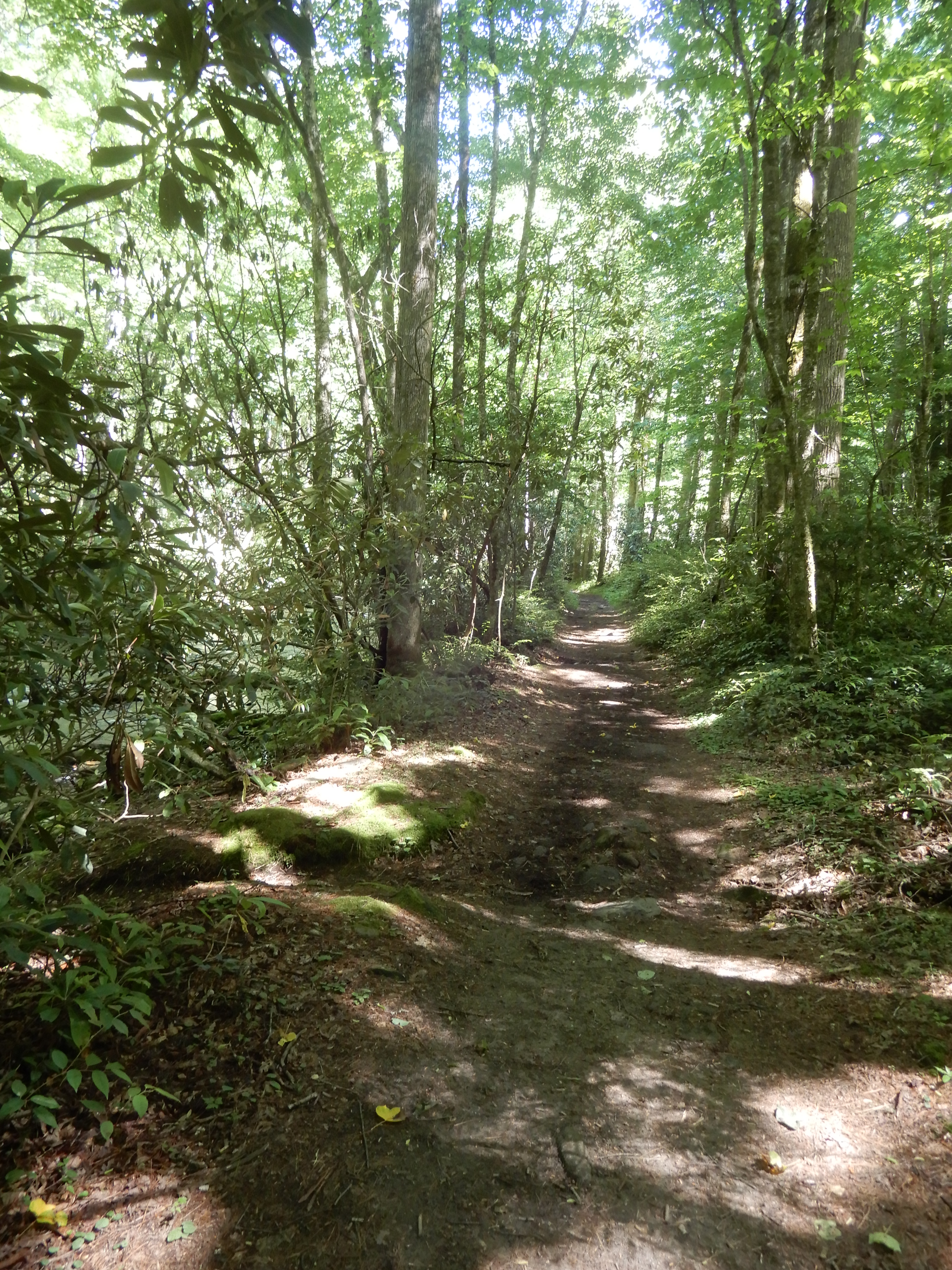
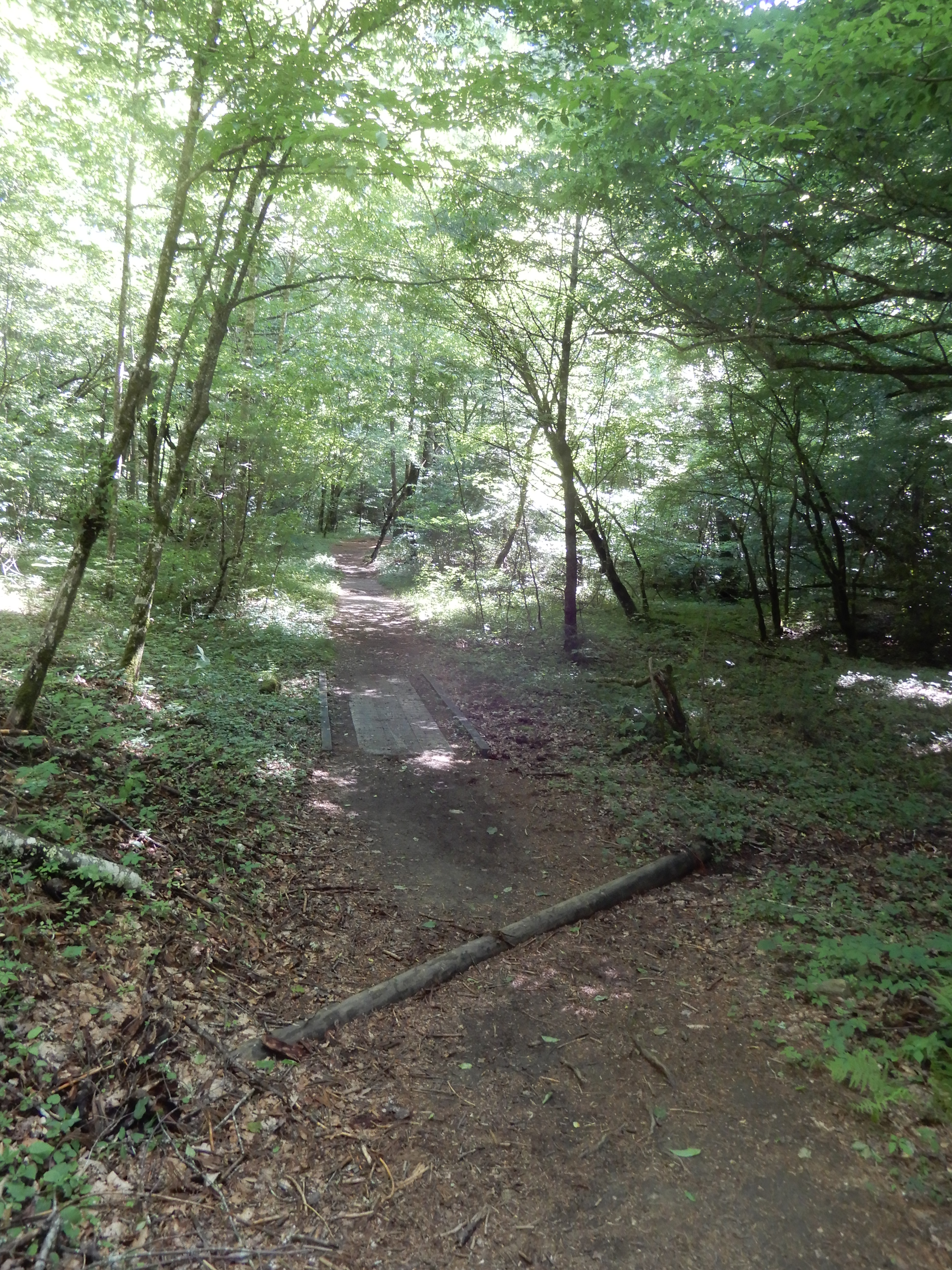
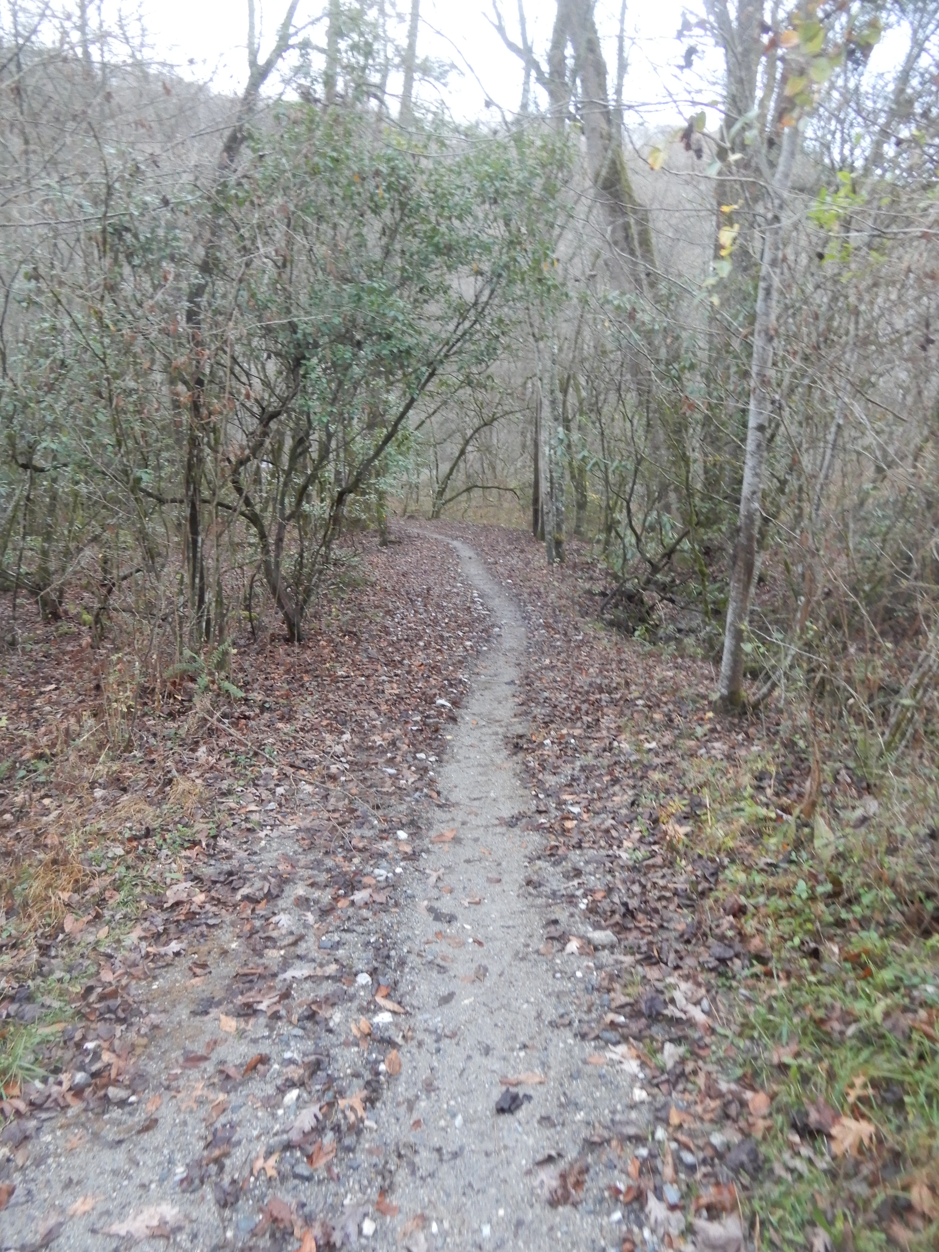
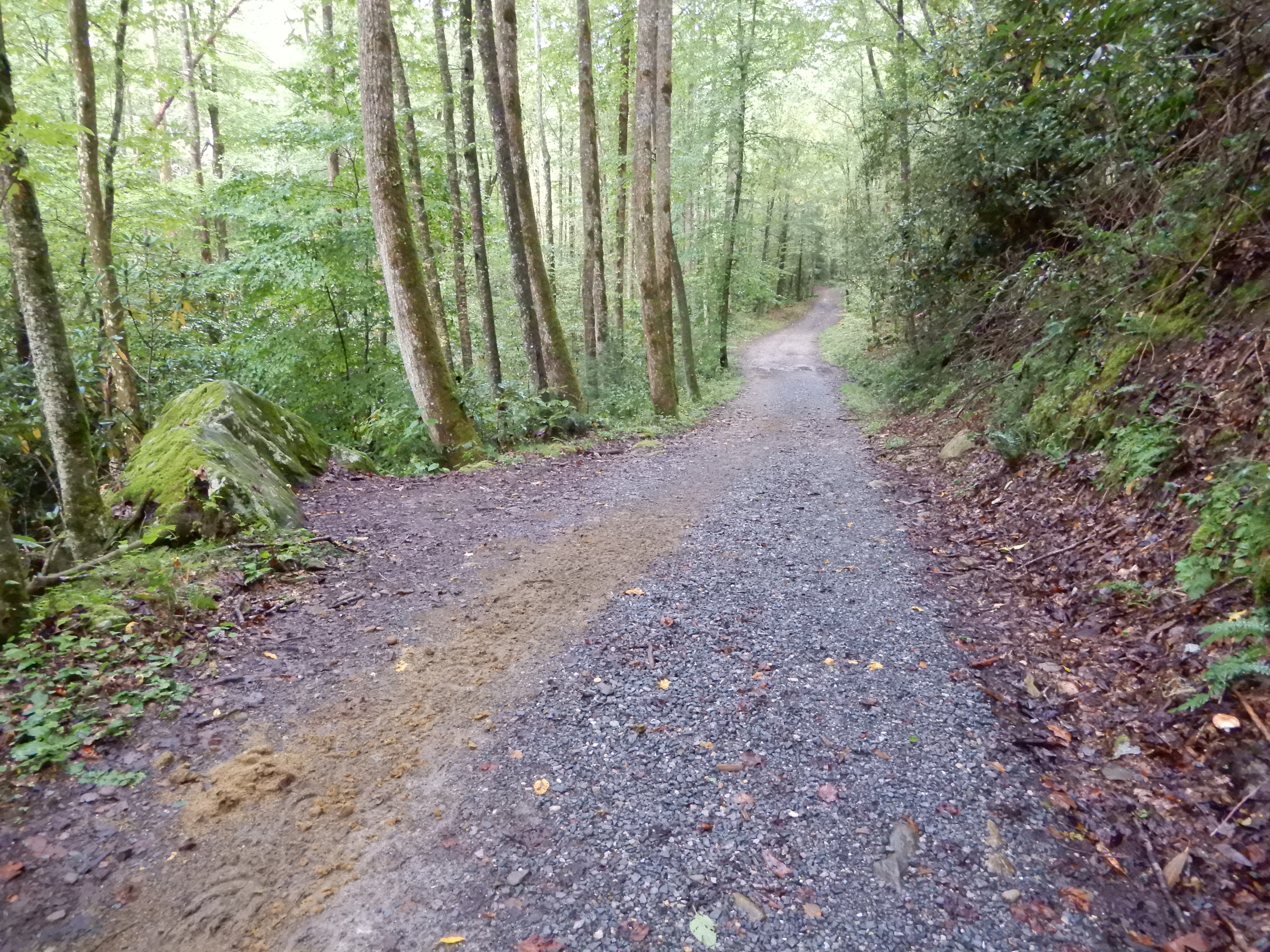
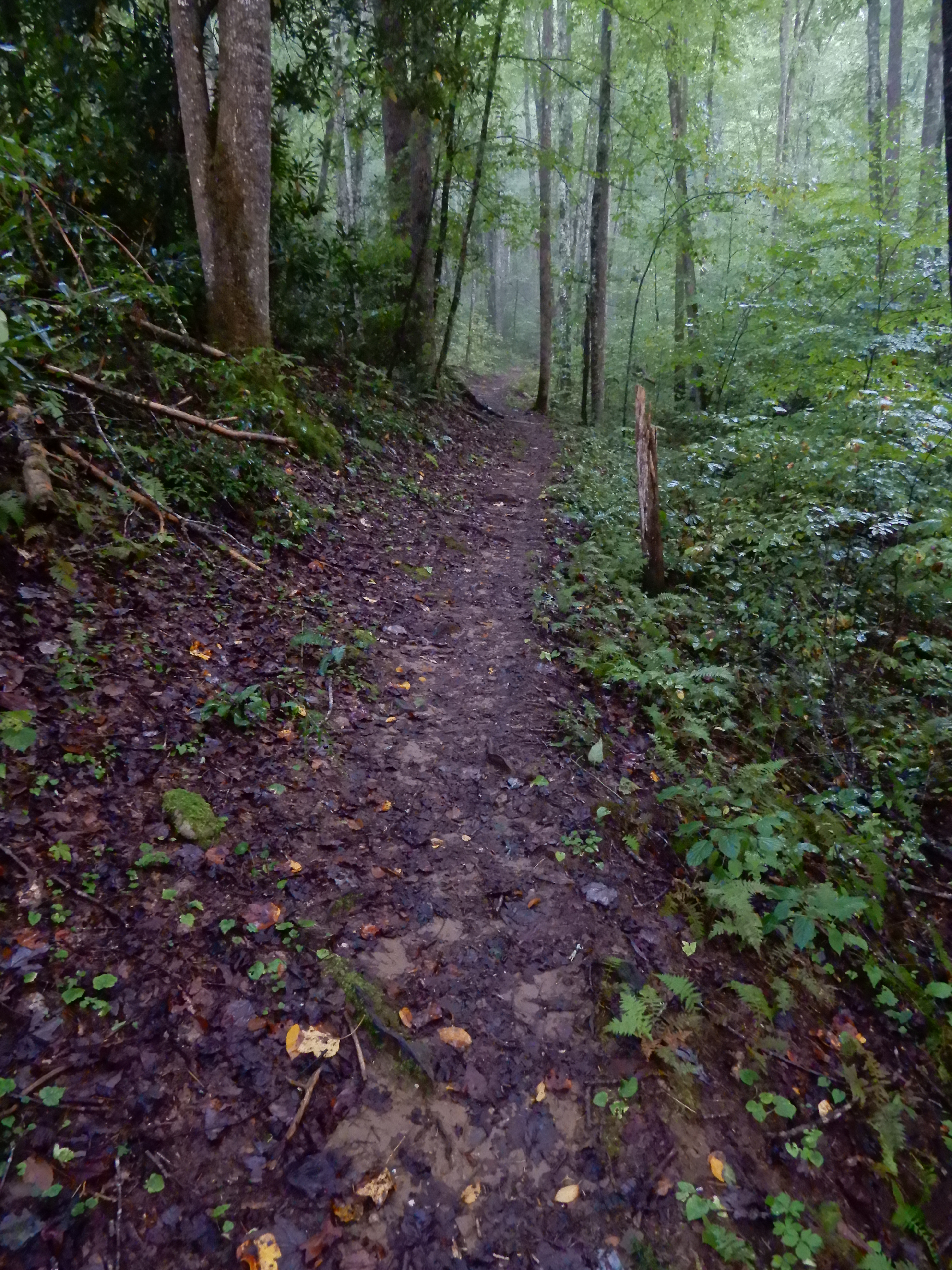
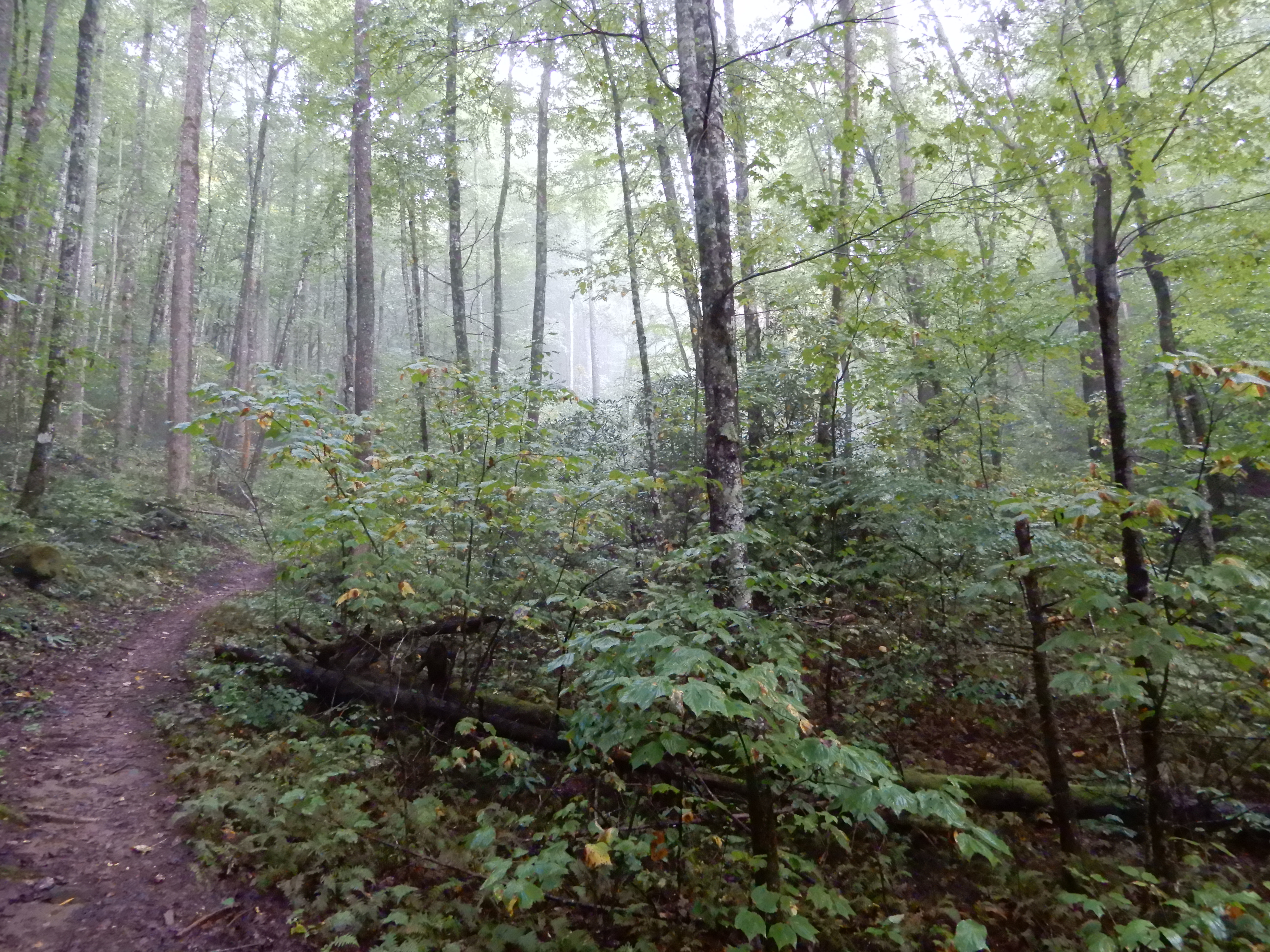
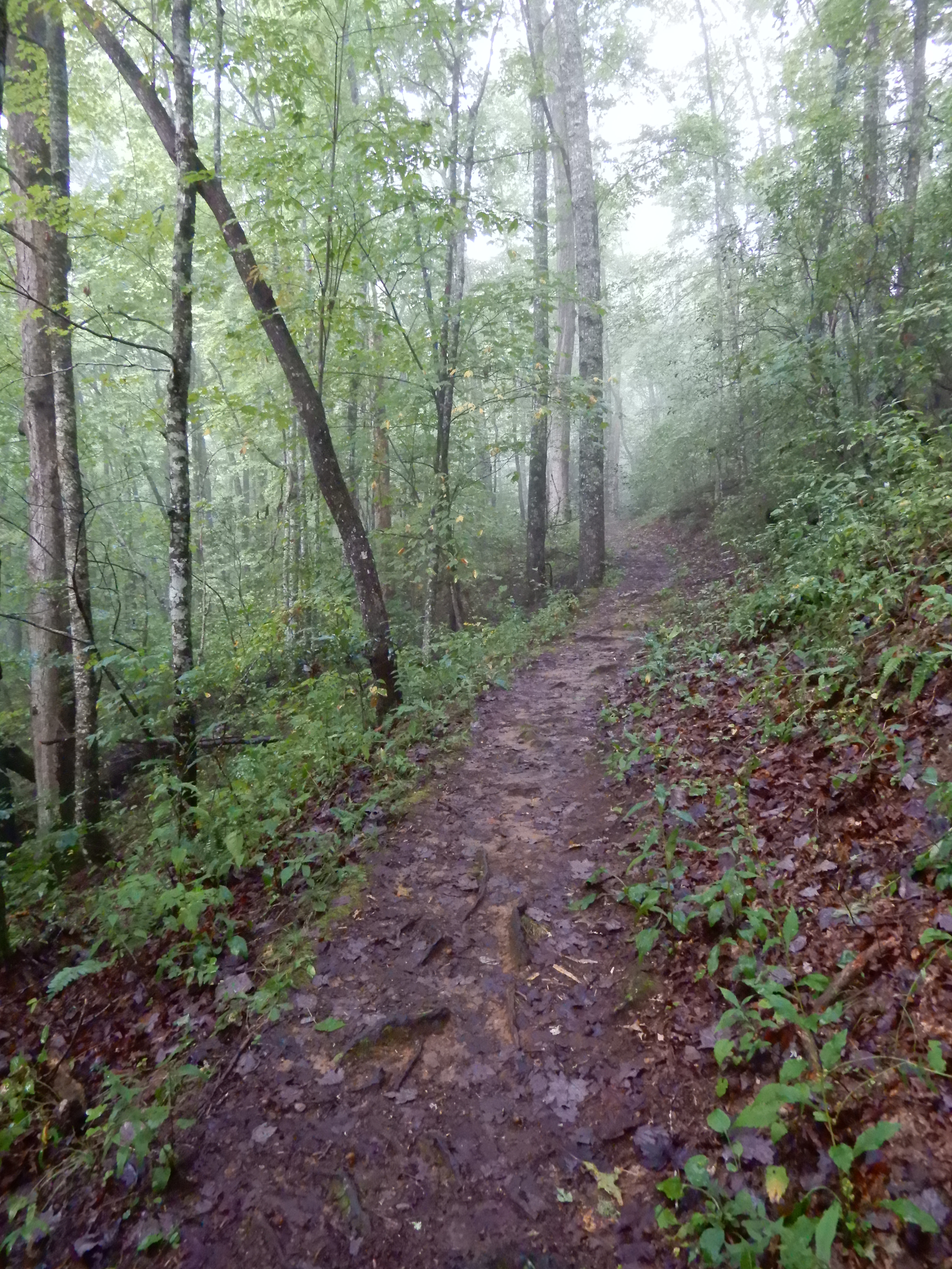
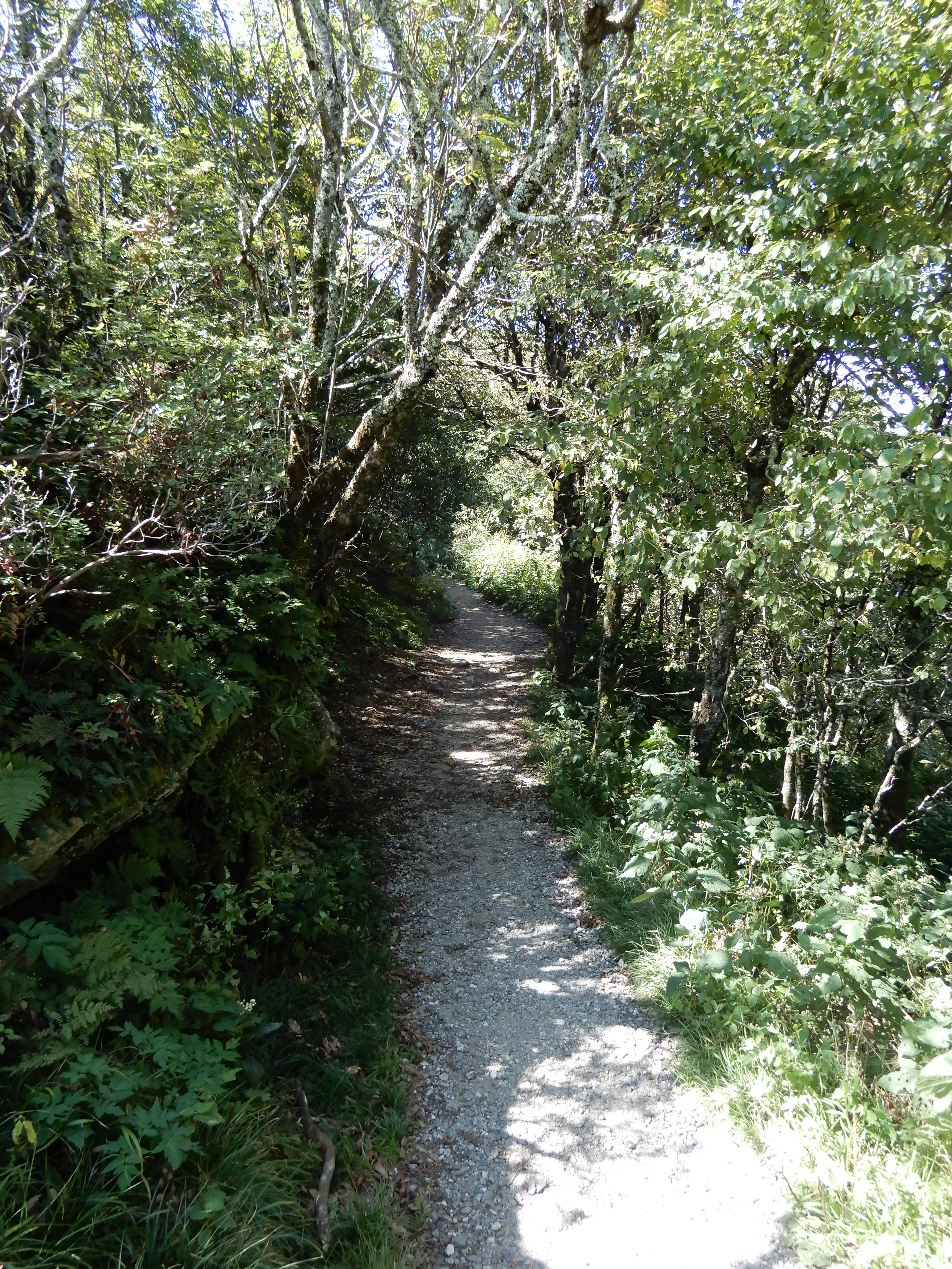
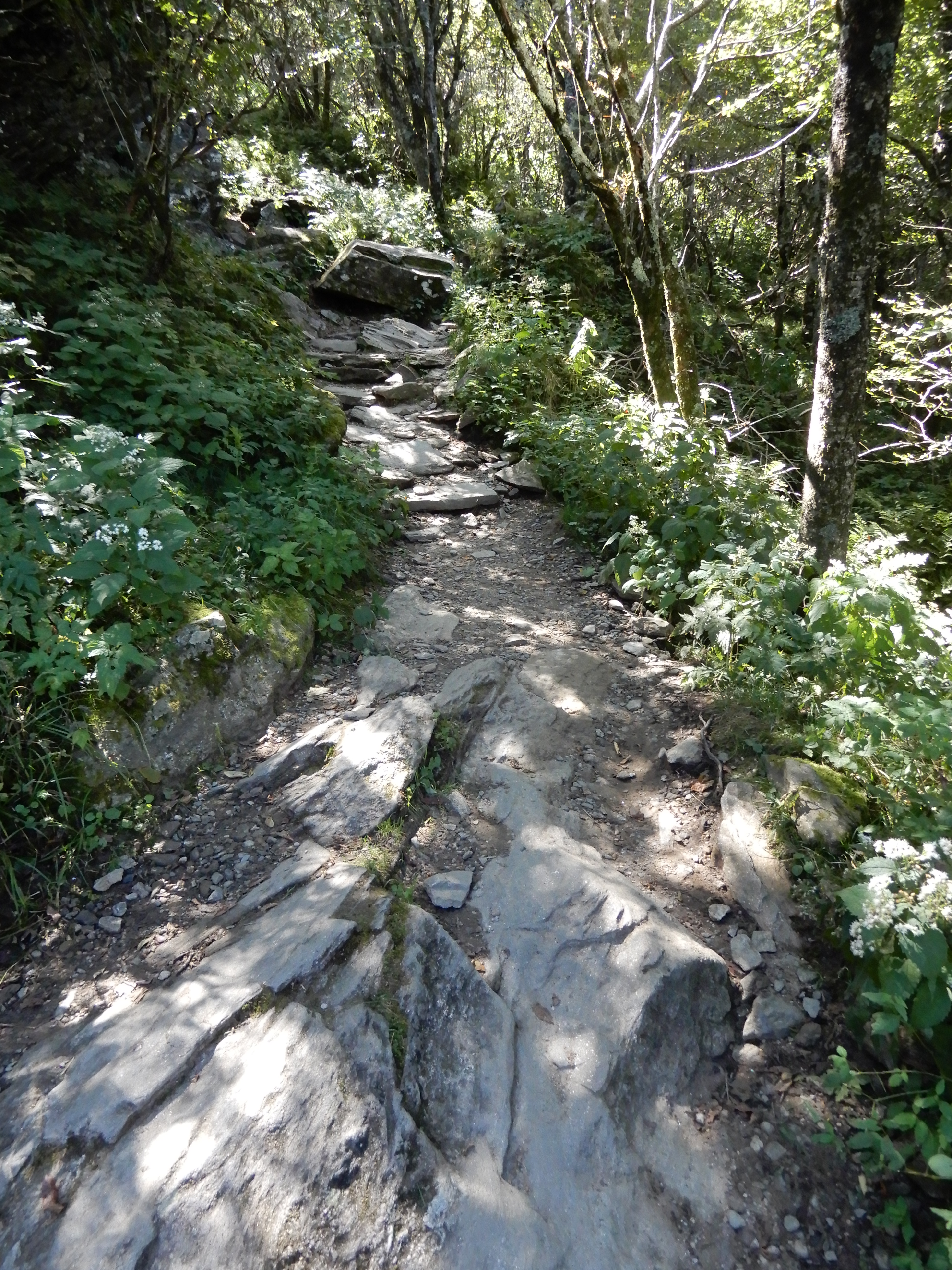
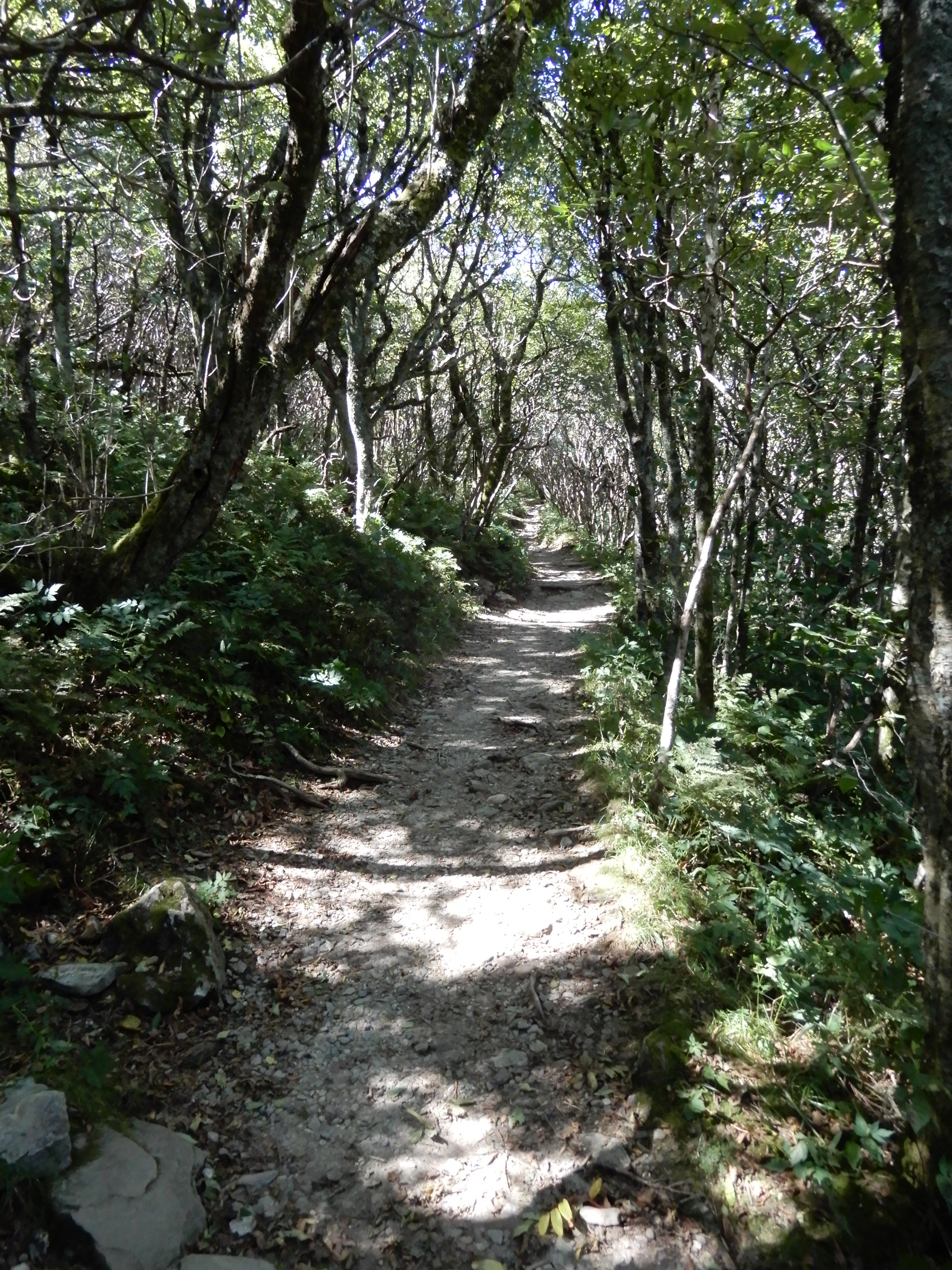
Later, I hiked a trail on my own.
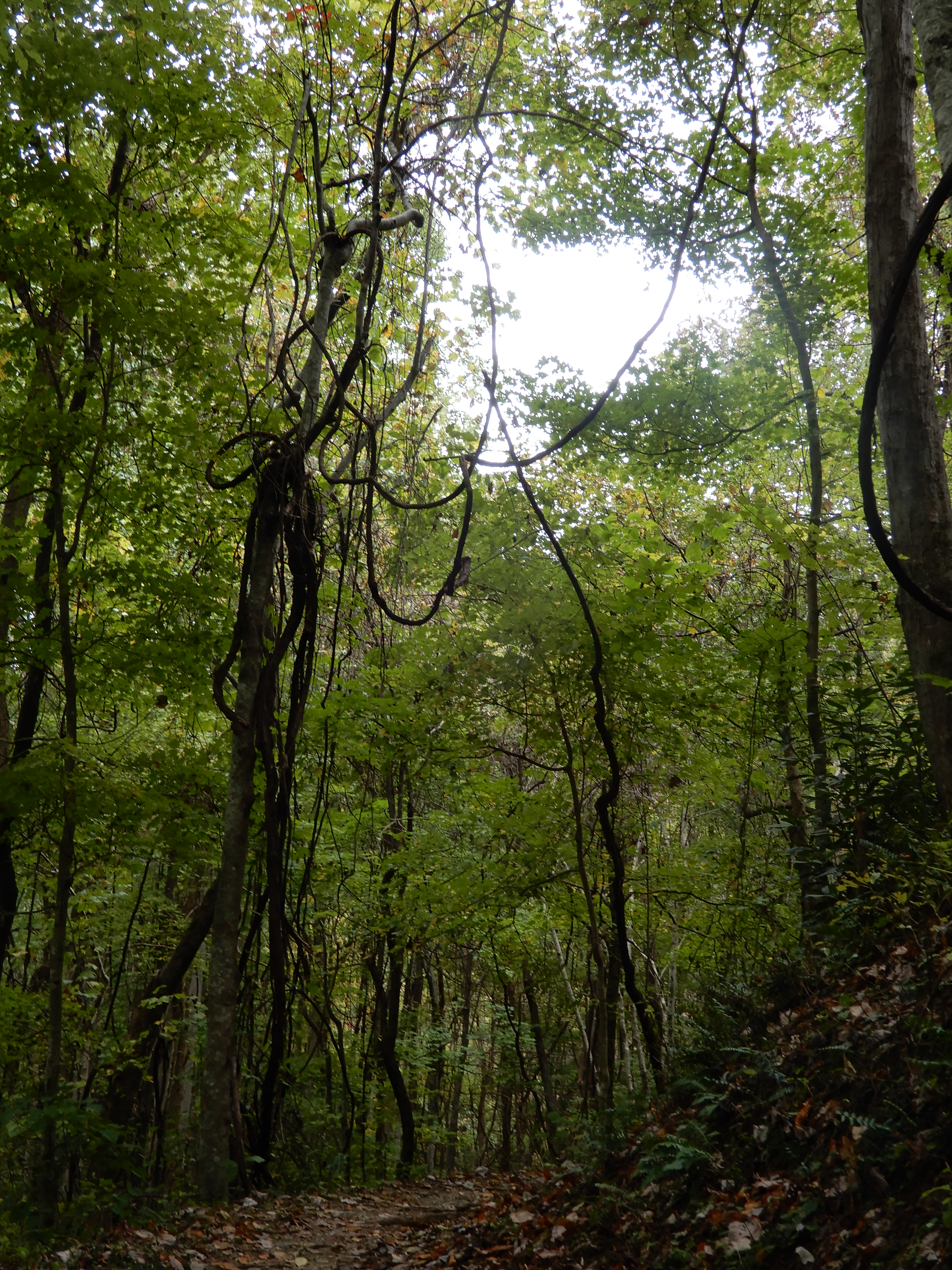
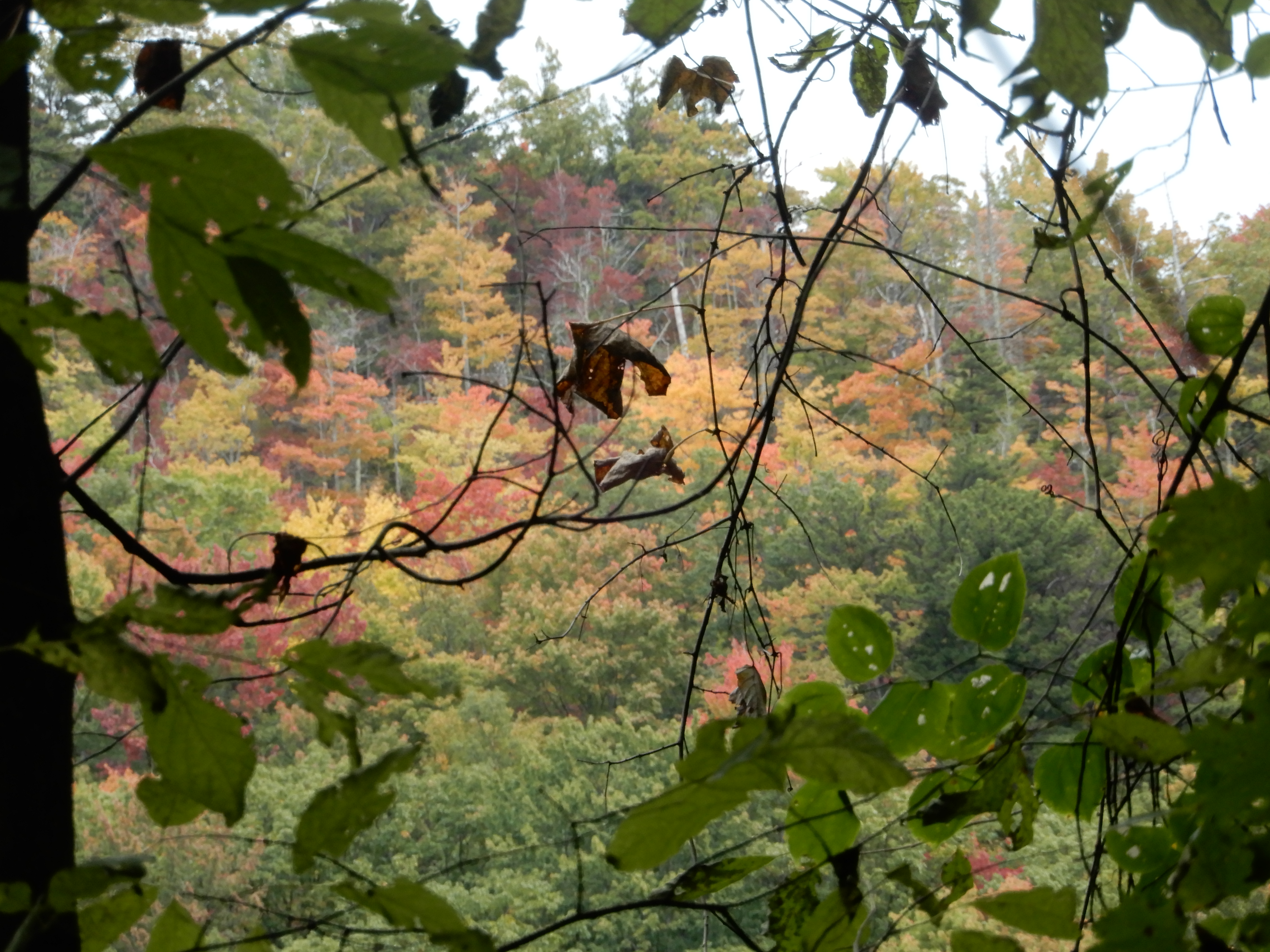
This tangle of vines high up in the trees caught my eye.
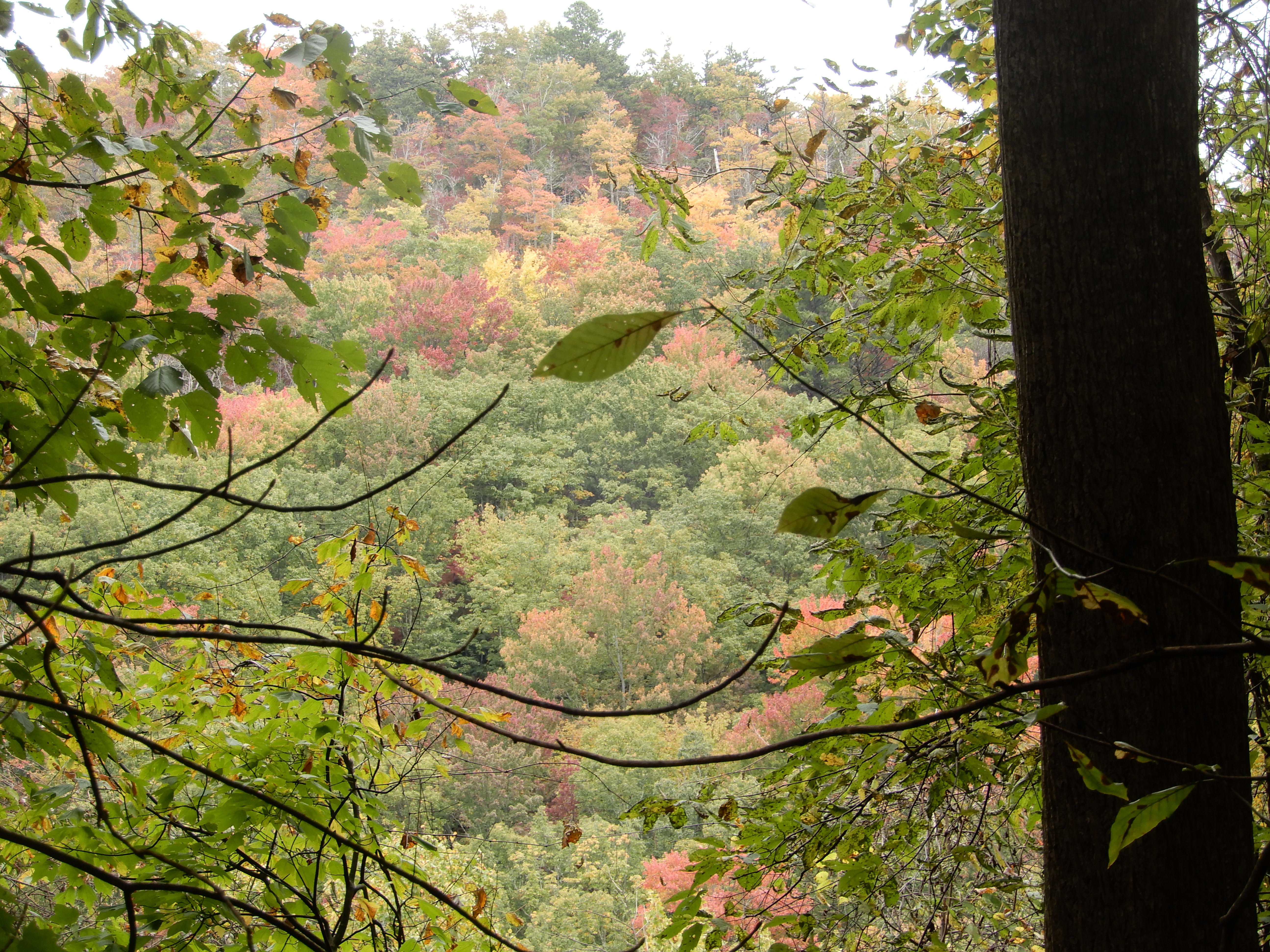
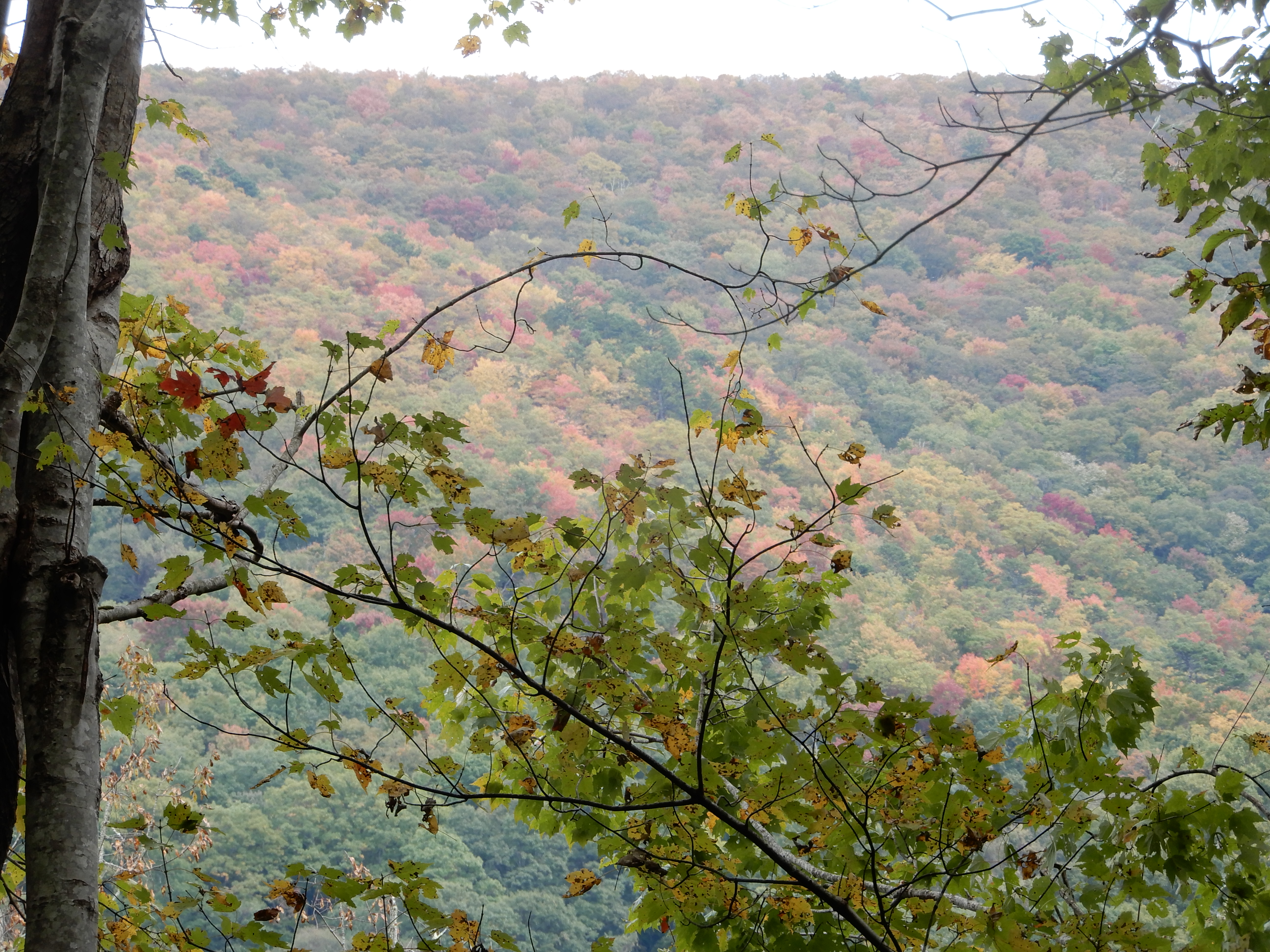
There were few clear overlooks along the trail. I had to peer through the leaves.
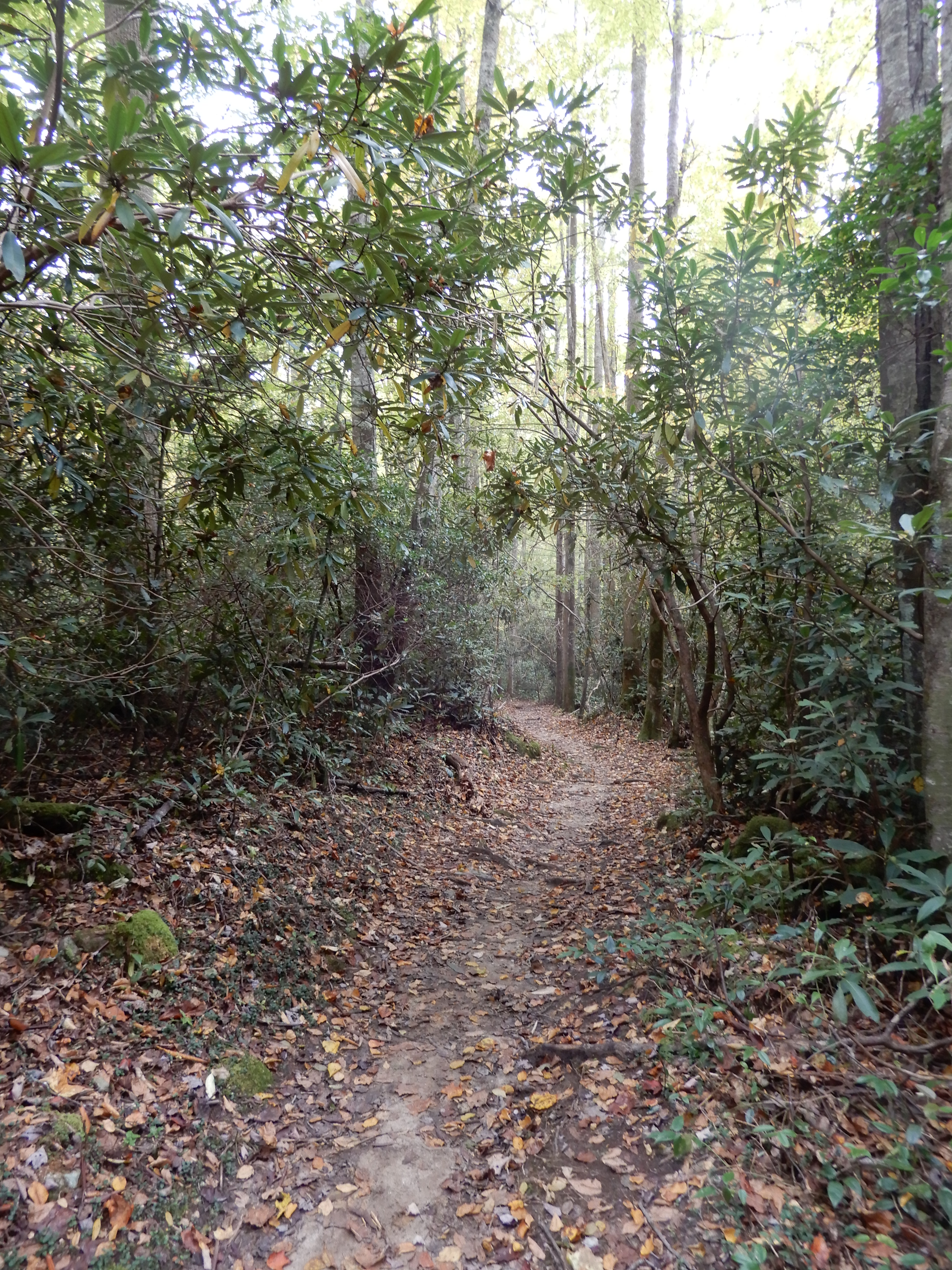
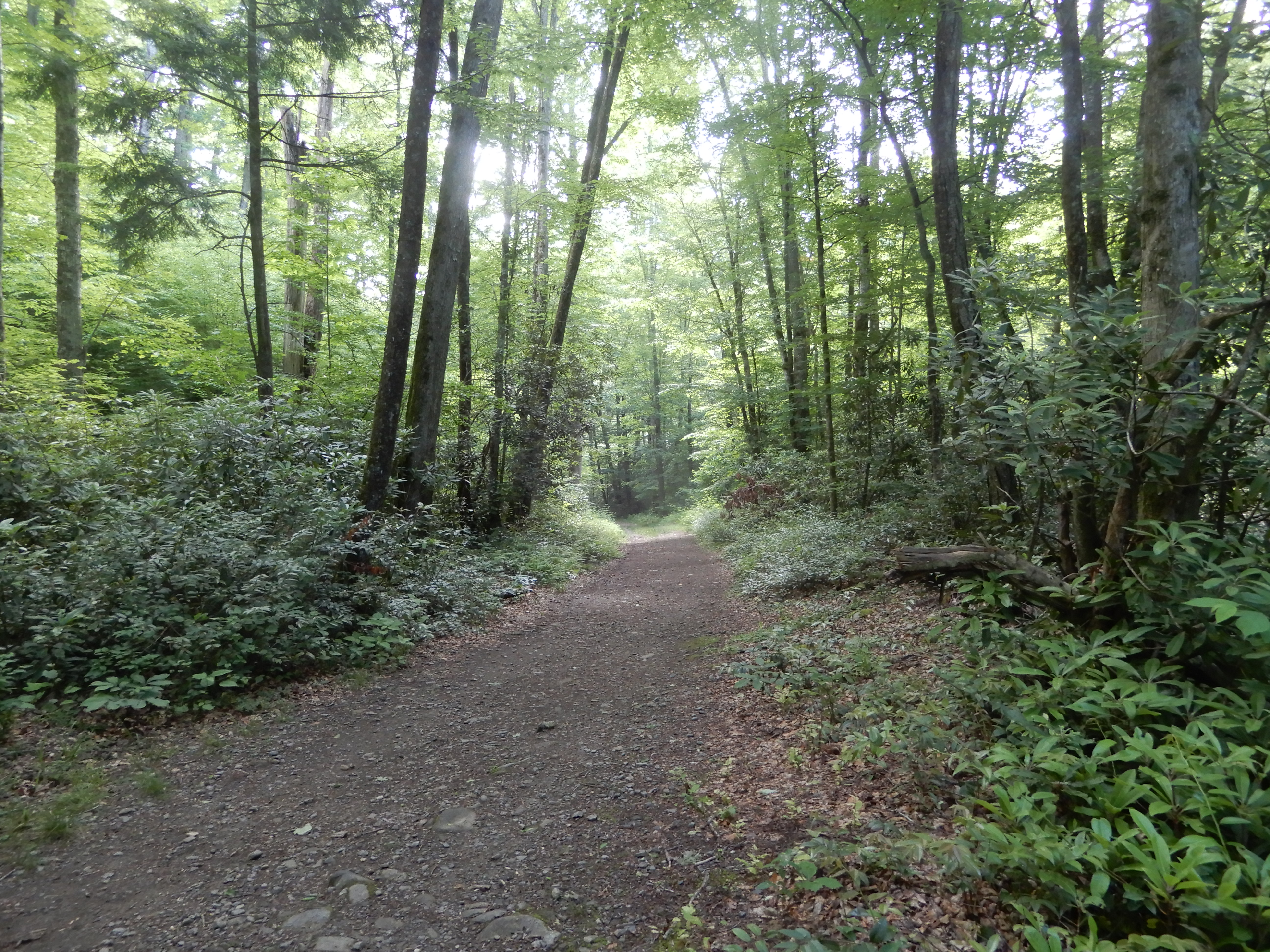
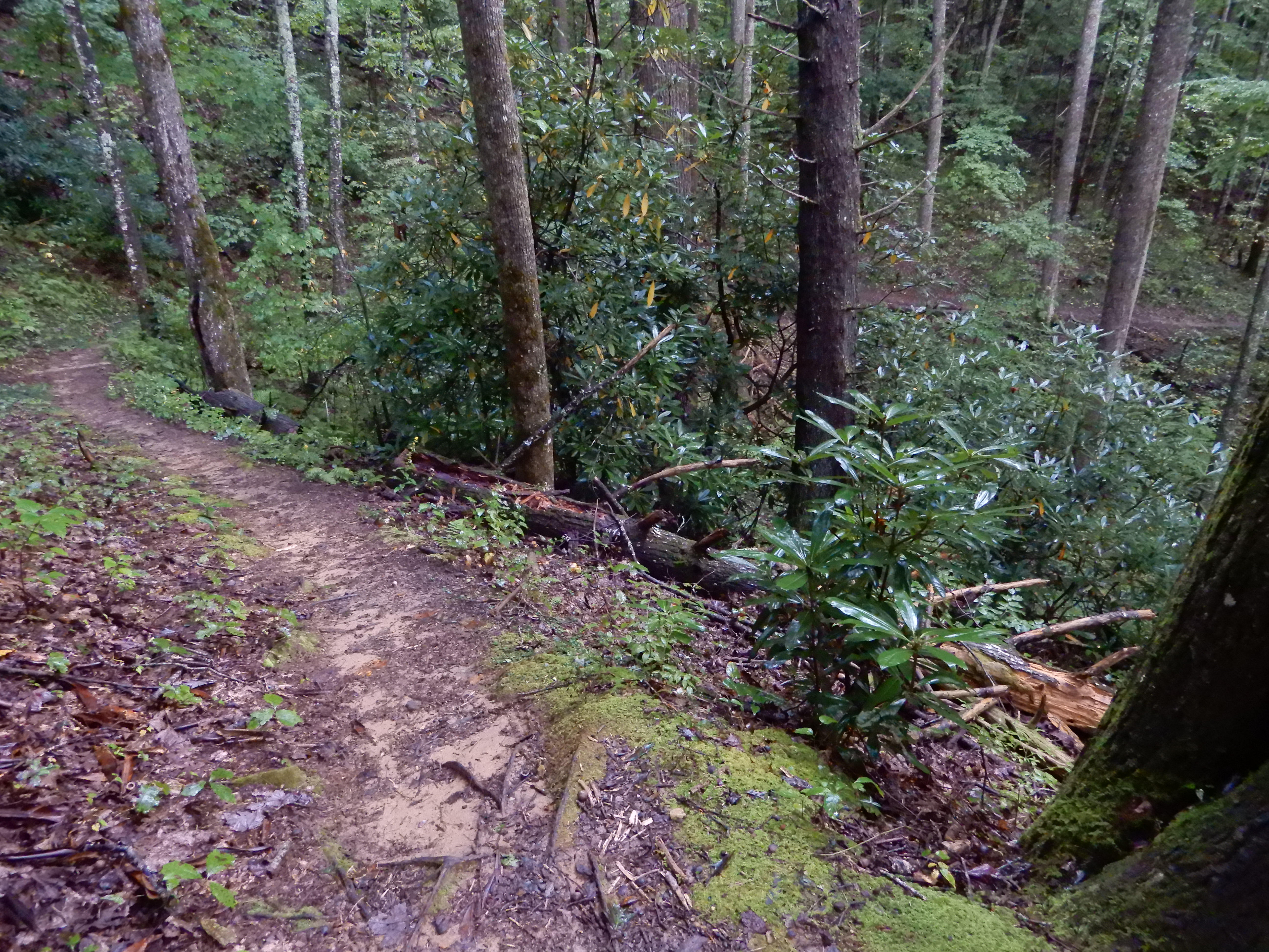
Then the trail led back down.
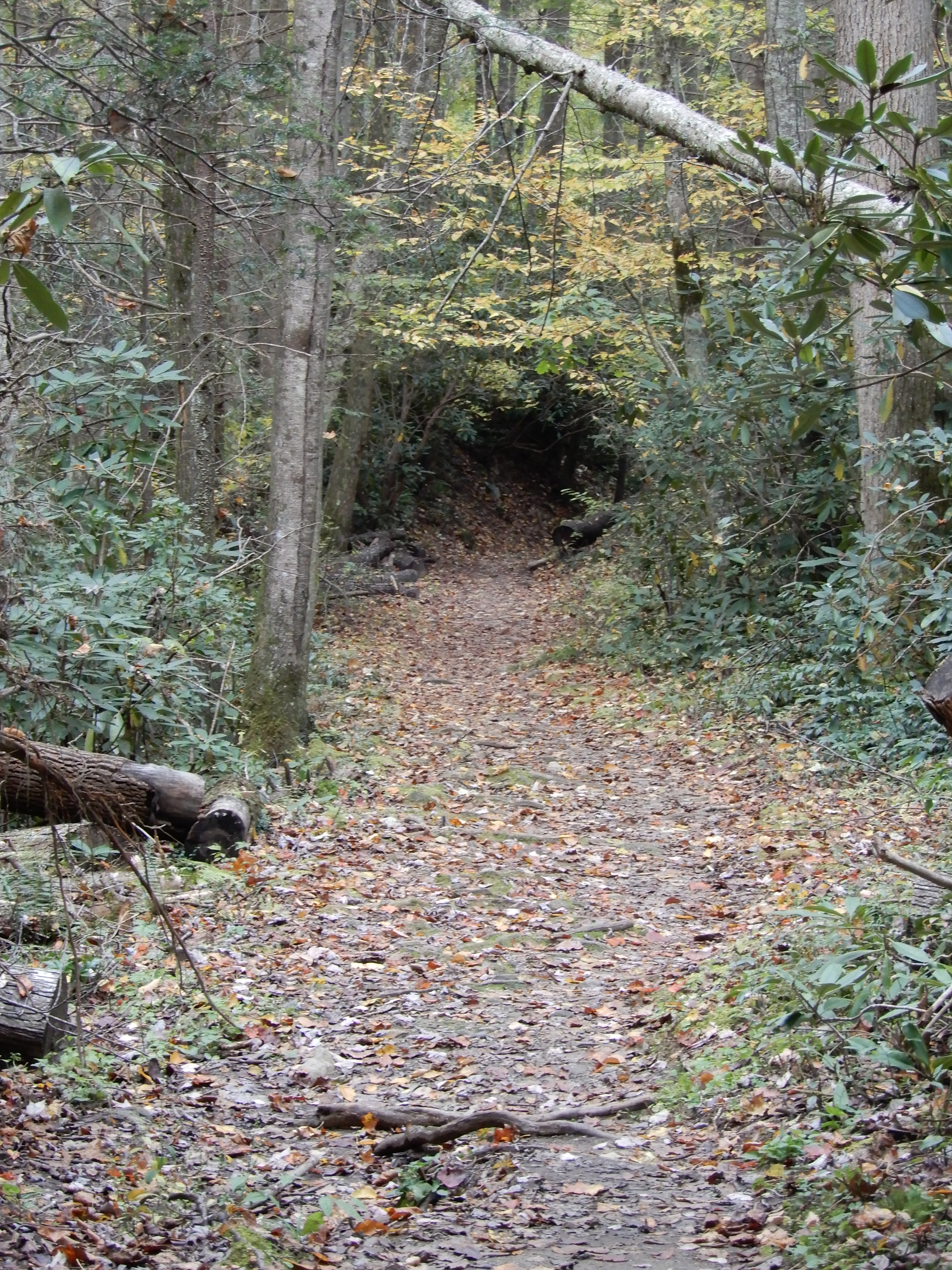
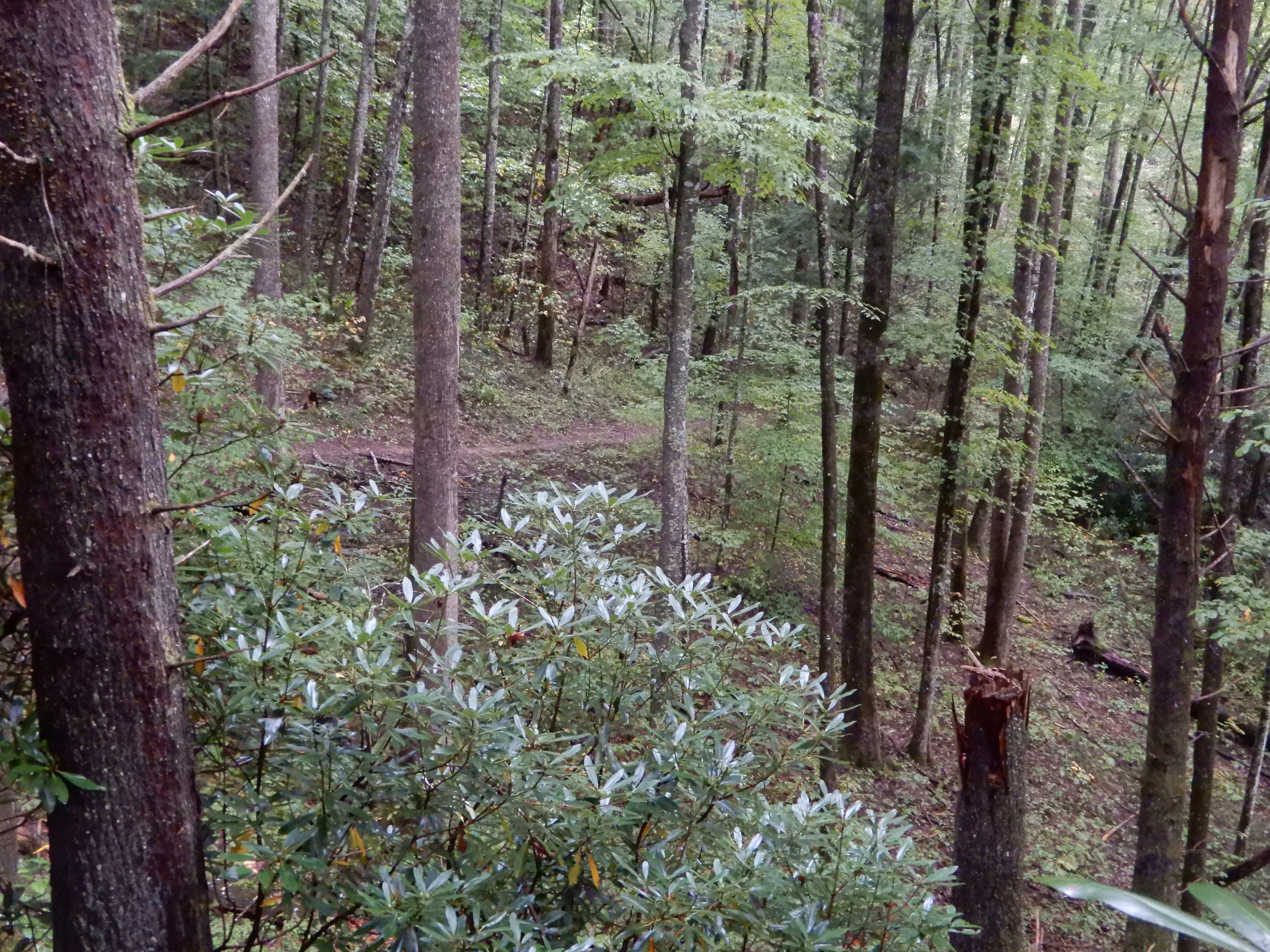
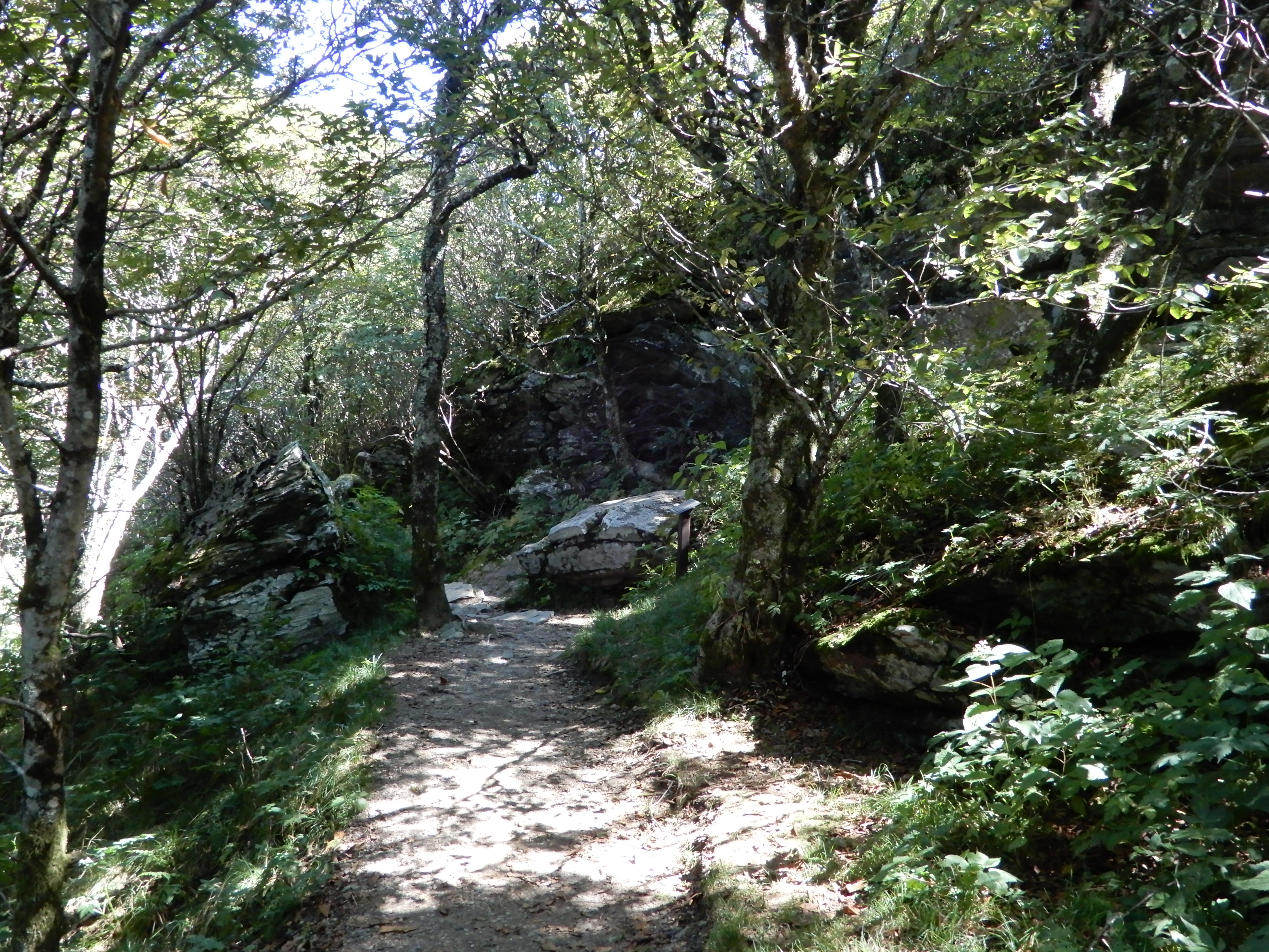
Here it looked like I was headed into a cave.
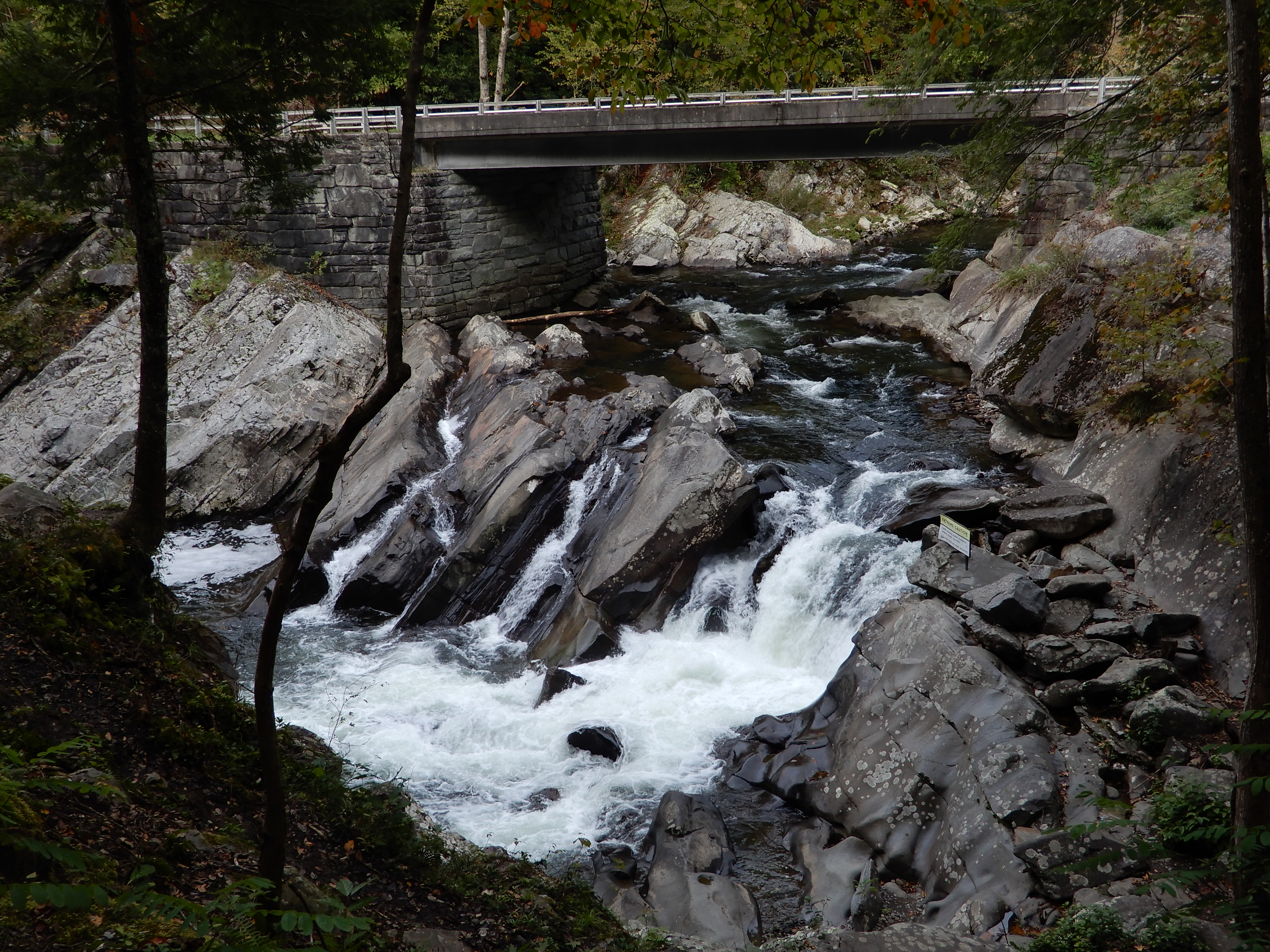
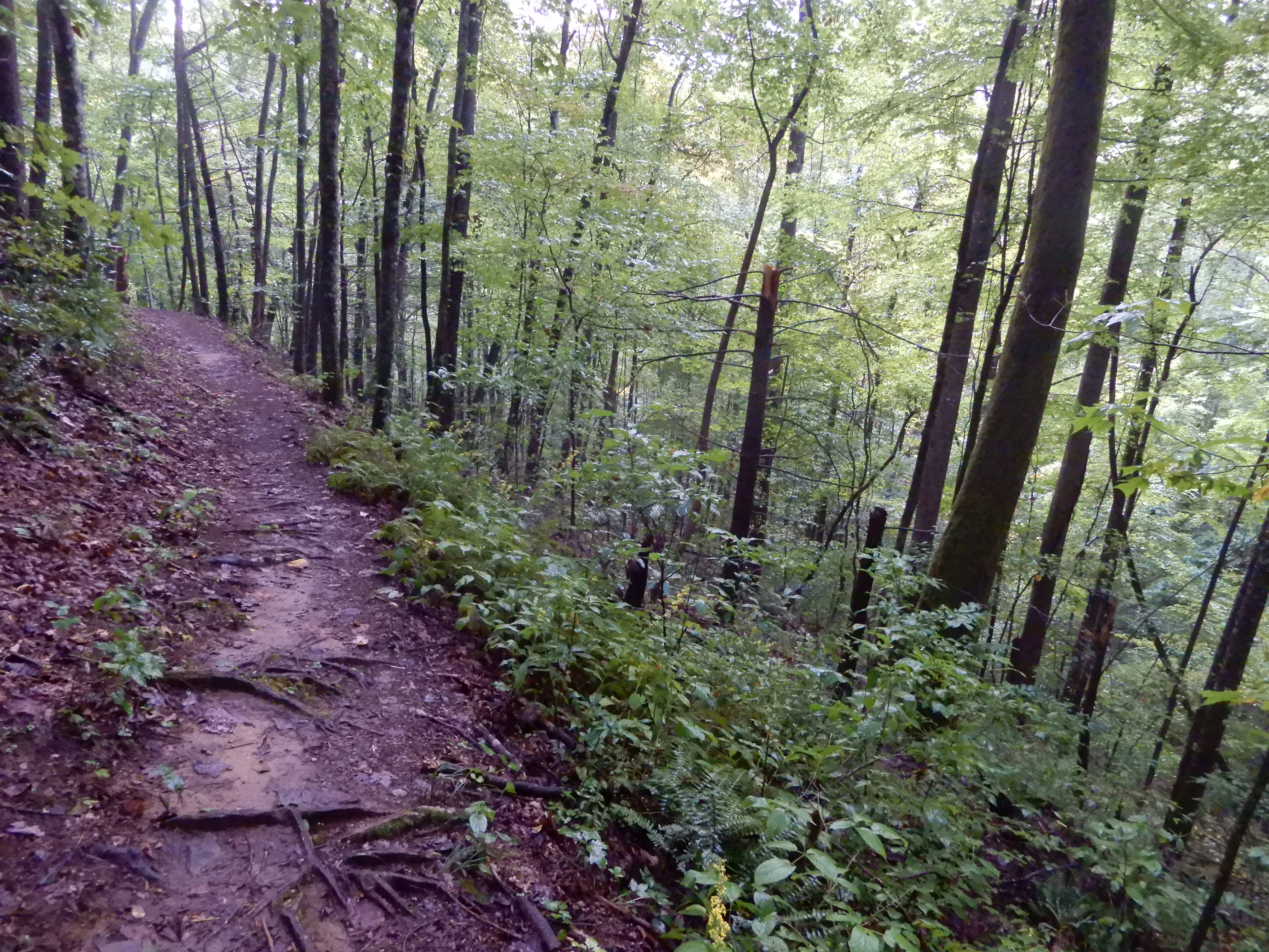
But the trail led to a rare good overlook.
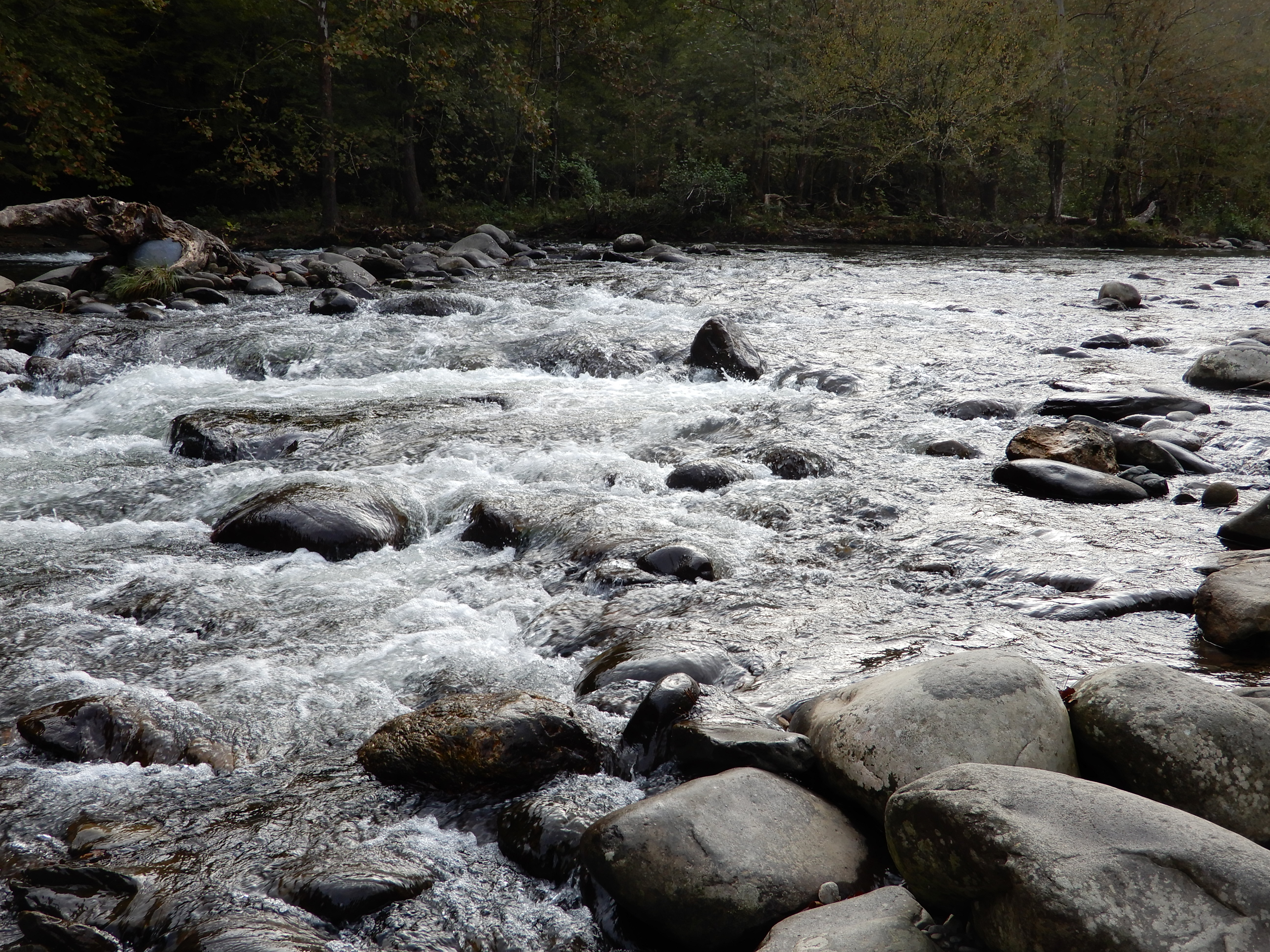
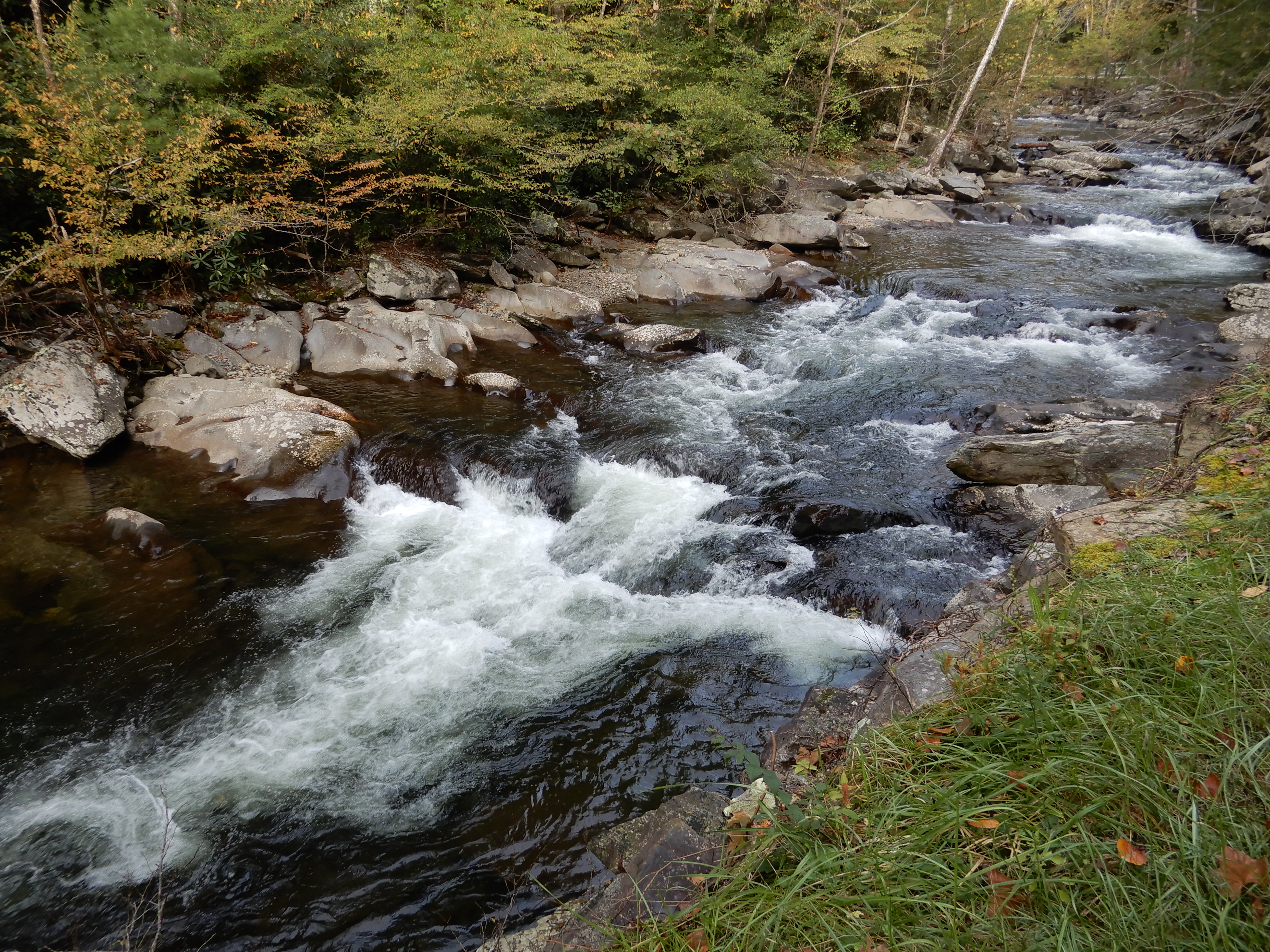
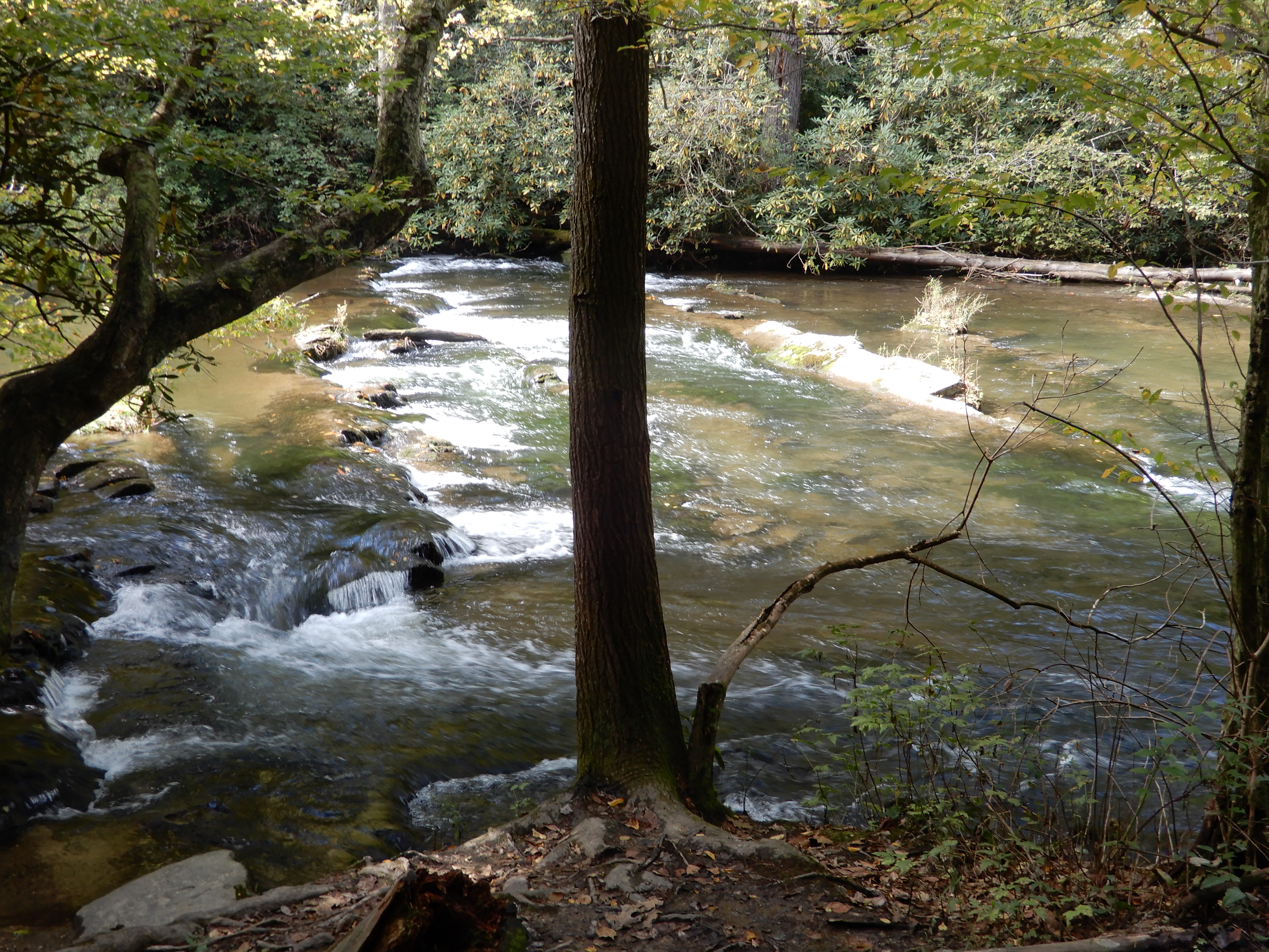
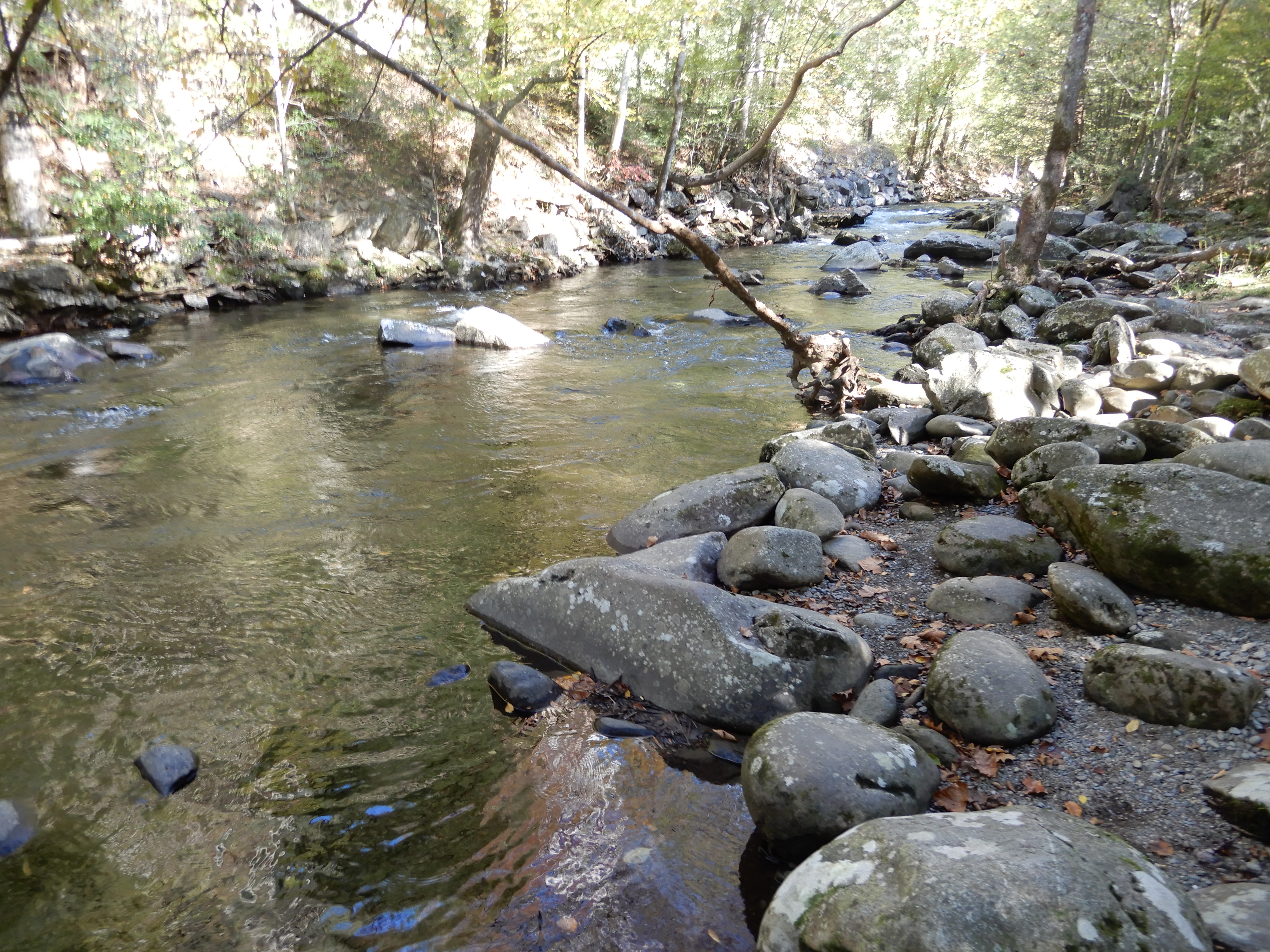
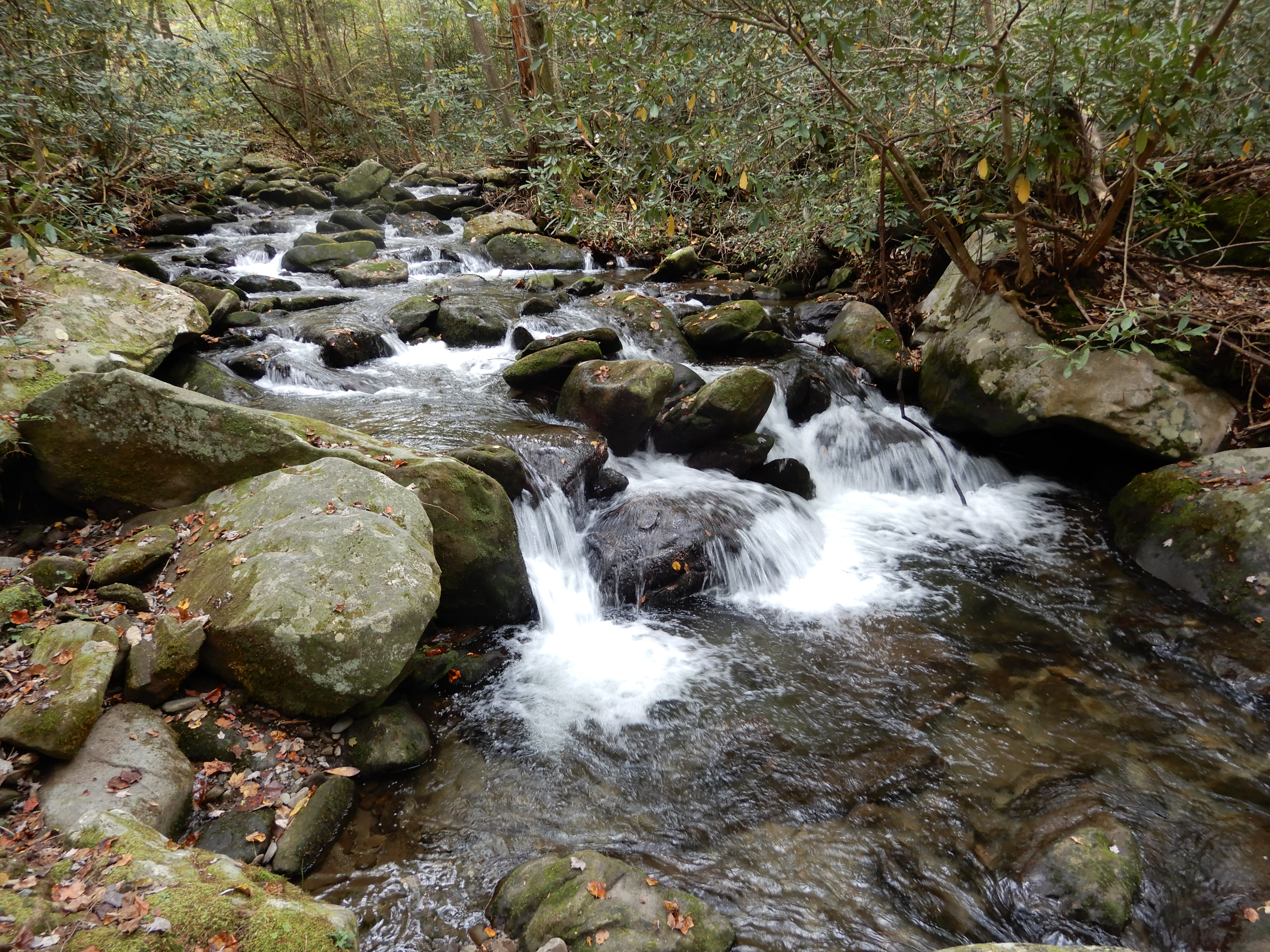
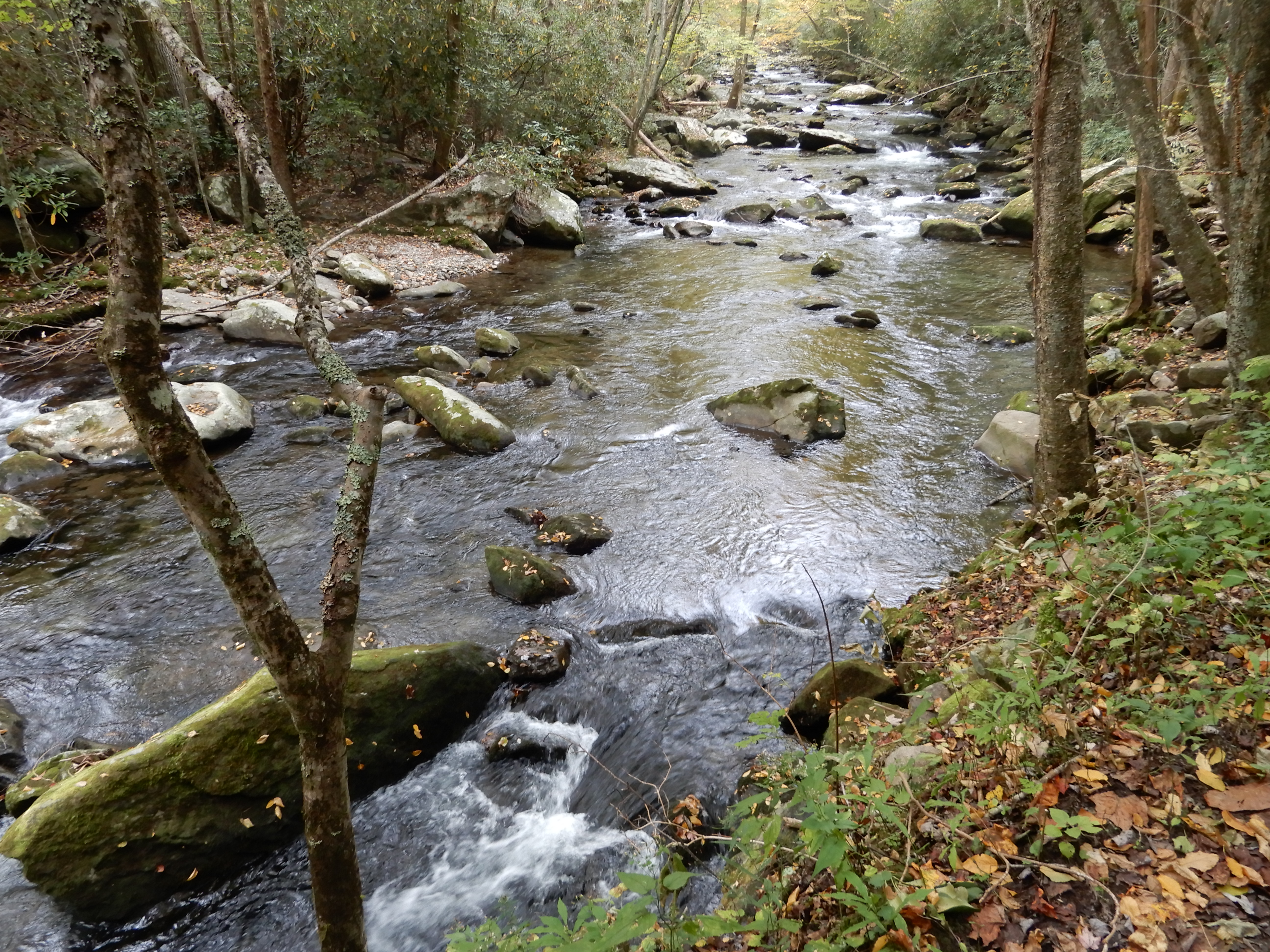
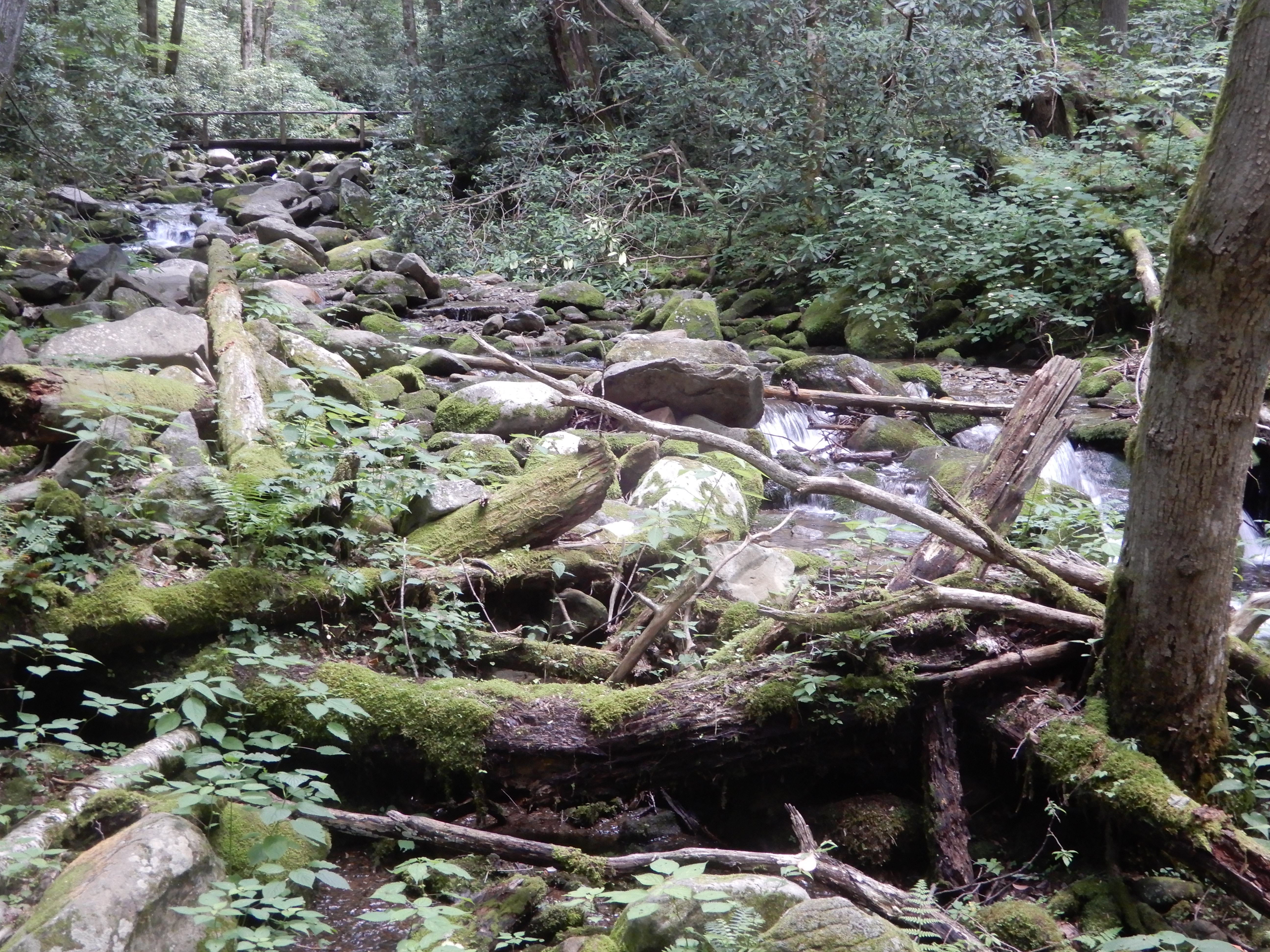
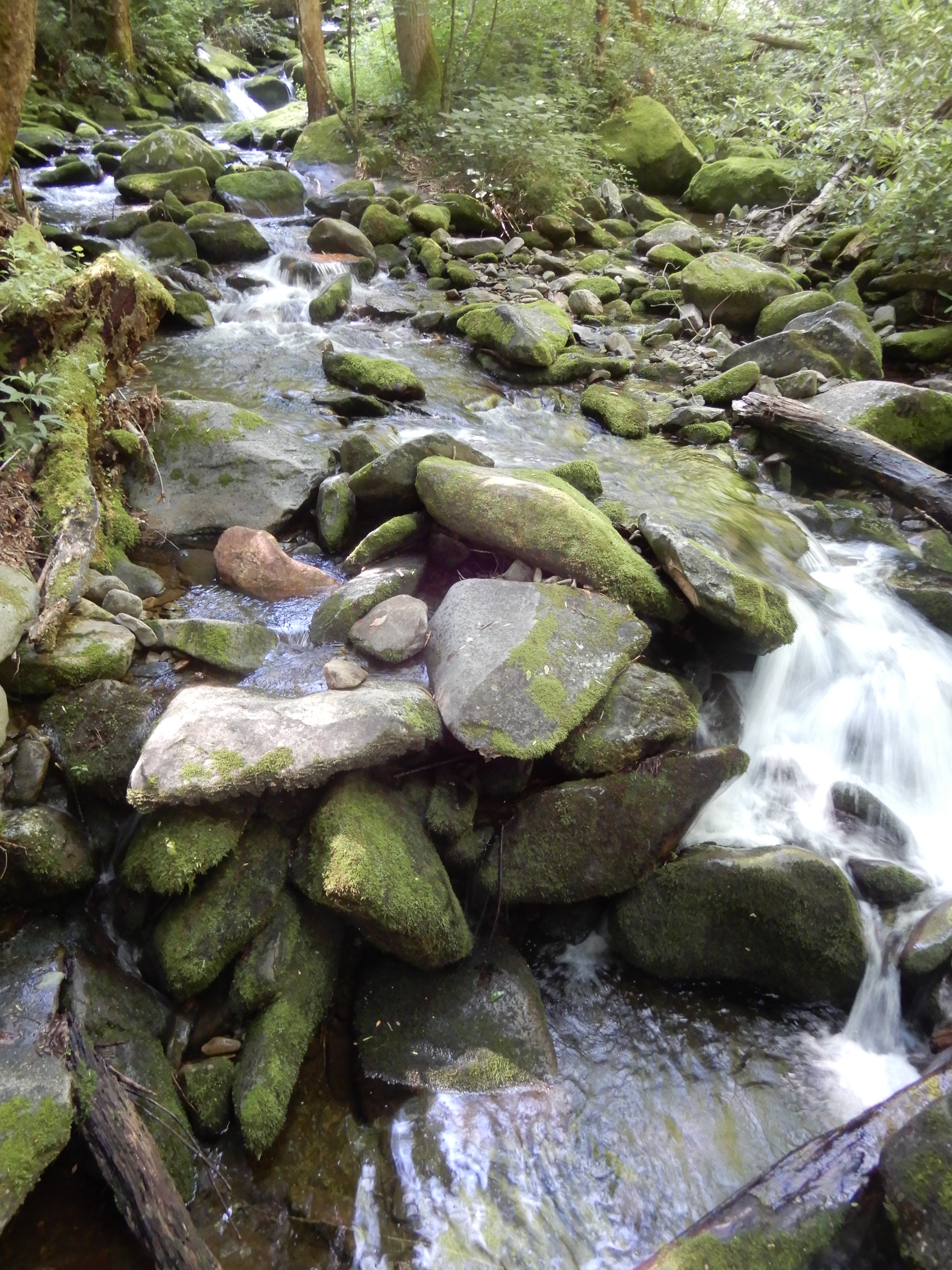
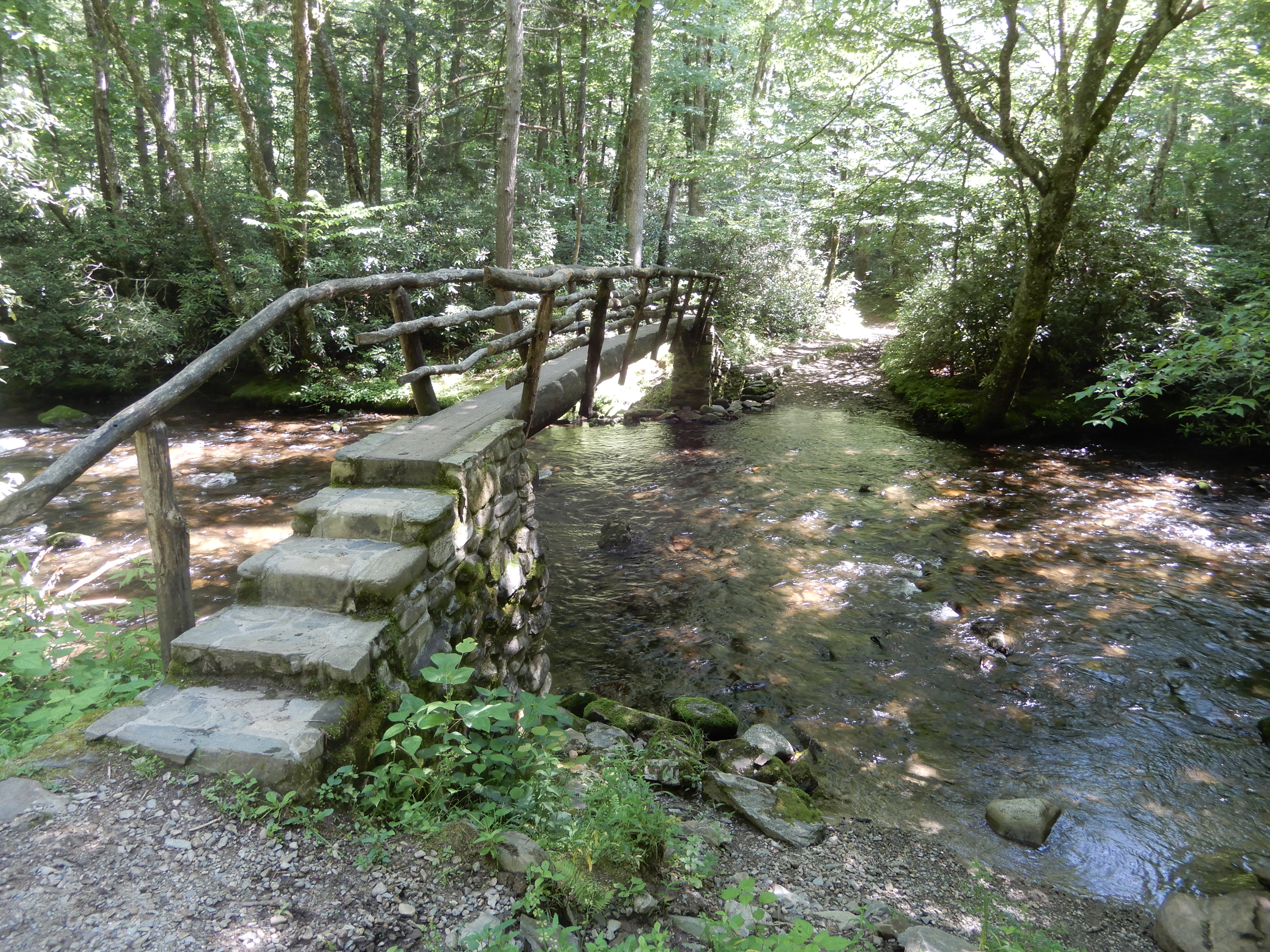
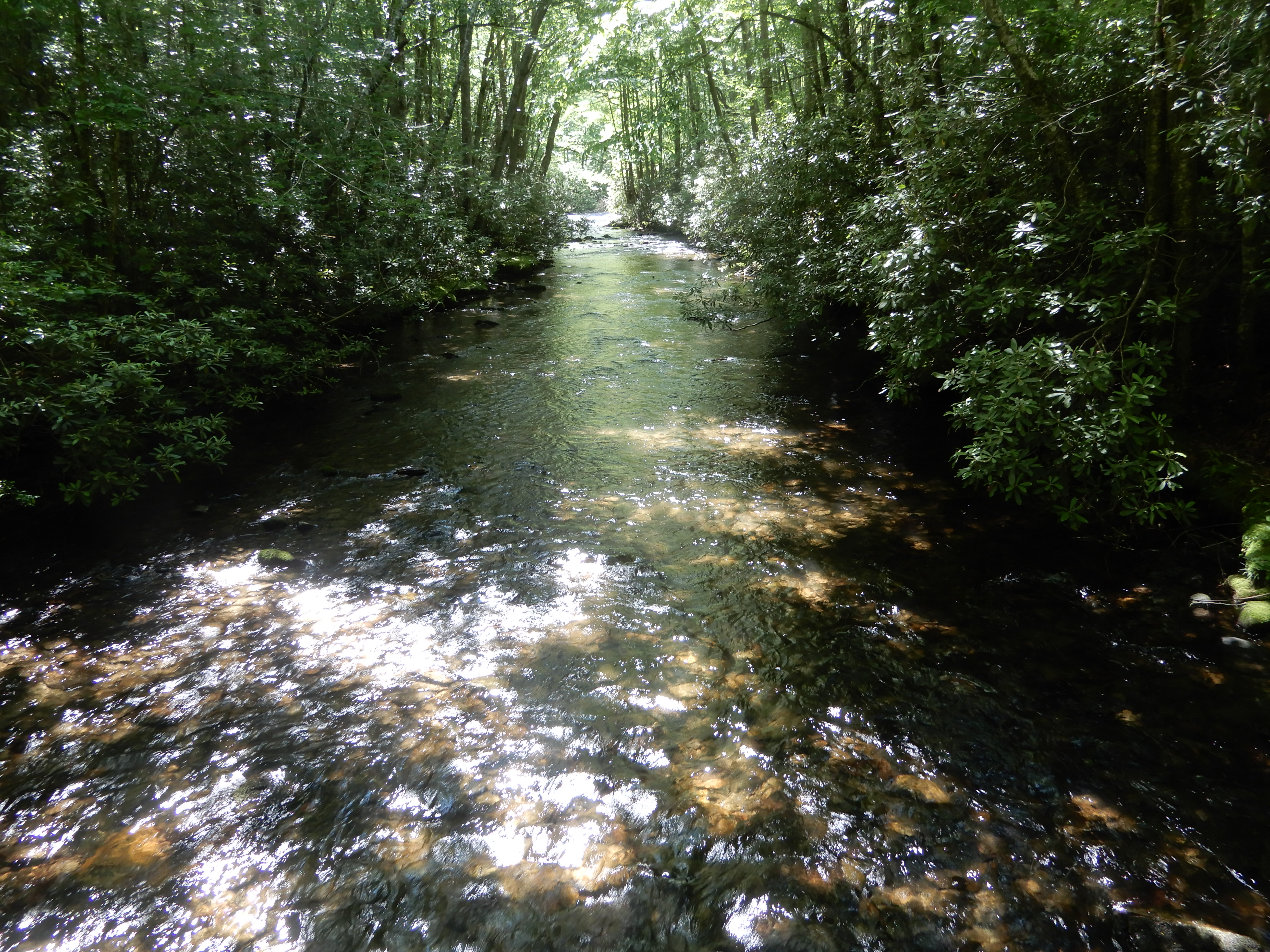
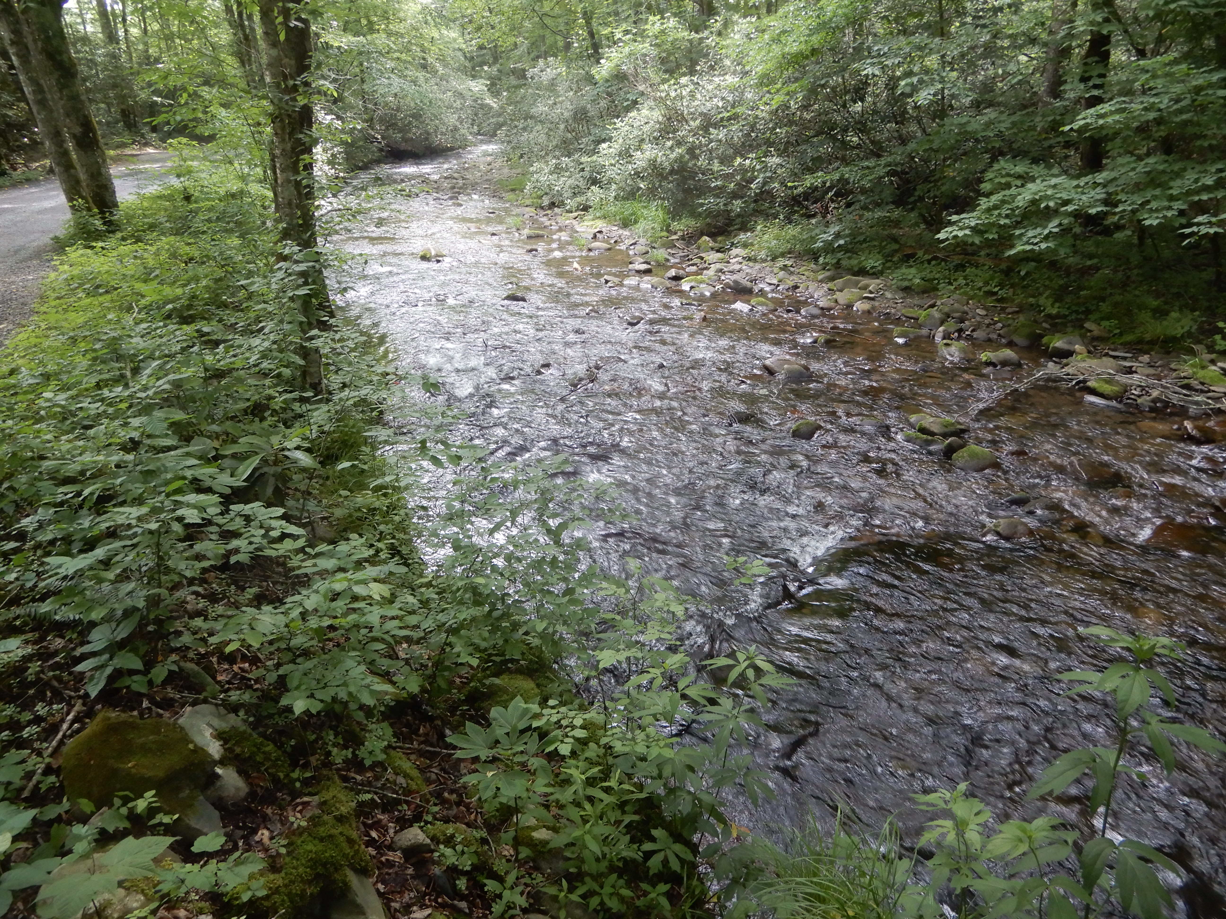
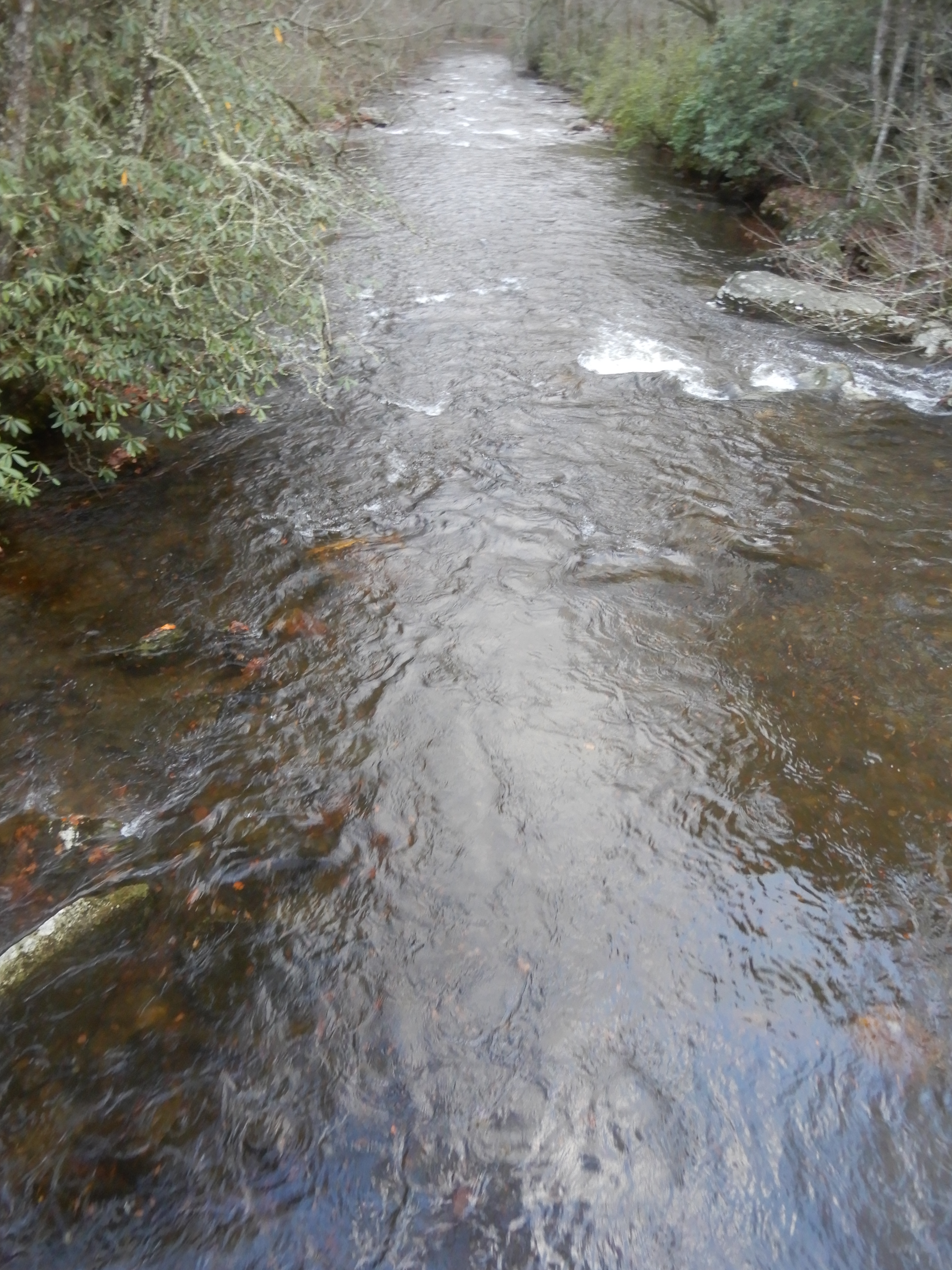
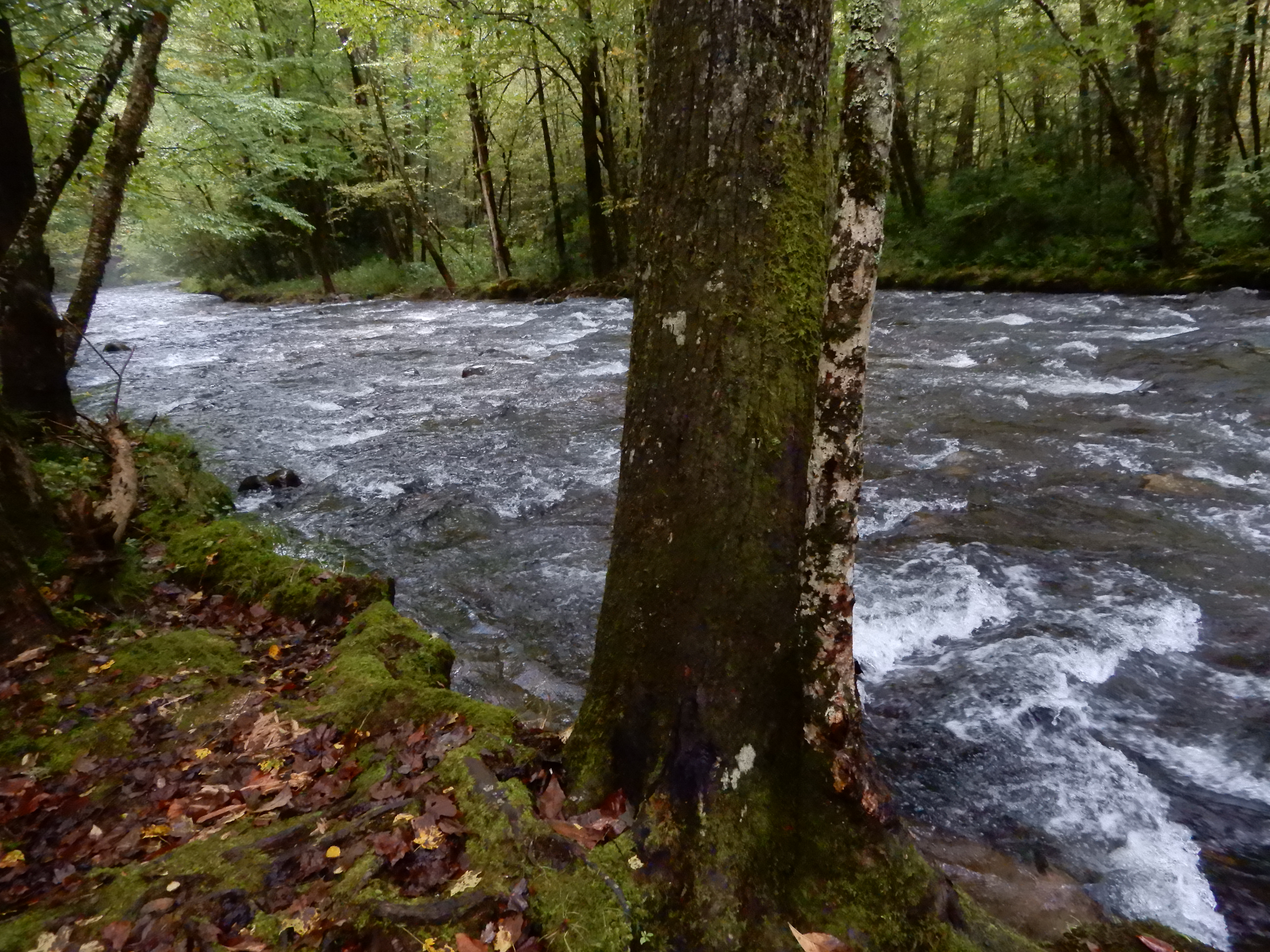
I ended up back at the creek running behind our site.
After backtracking all the way from Cataloochie Campground to Maggie Valley, as always an exciting drive no matter which direction you go on it, we drove east on 19 to north on 276 onto I-40. We continued north across the state line into Tennessee, then went east on 32. We turned south onto the Cosby Entrance Road. It was a long scenic drive to Cosby Campground.
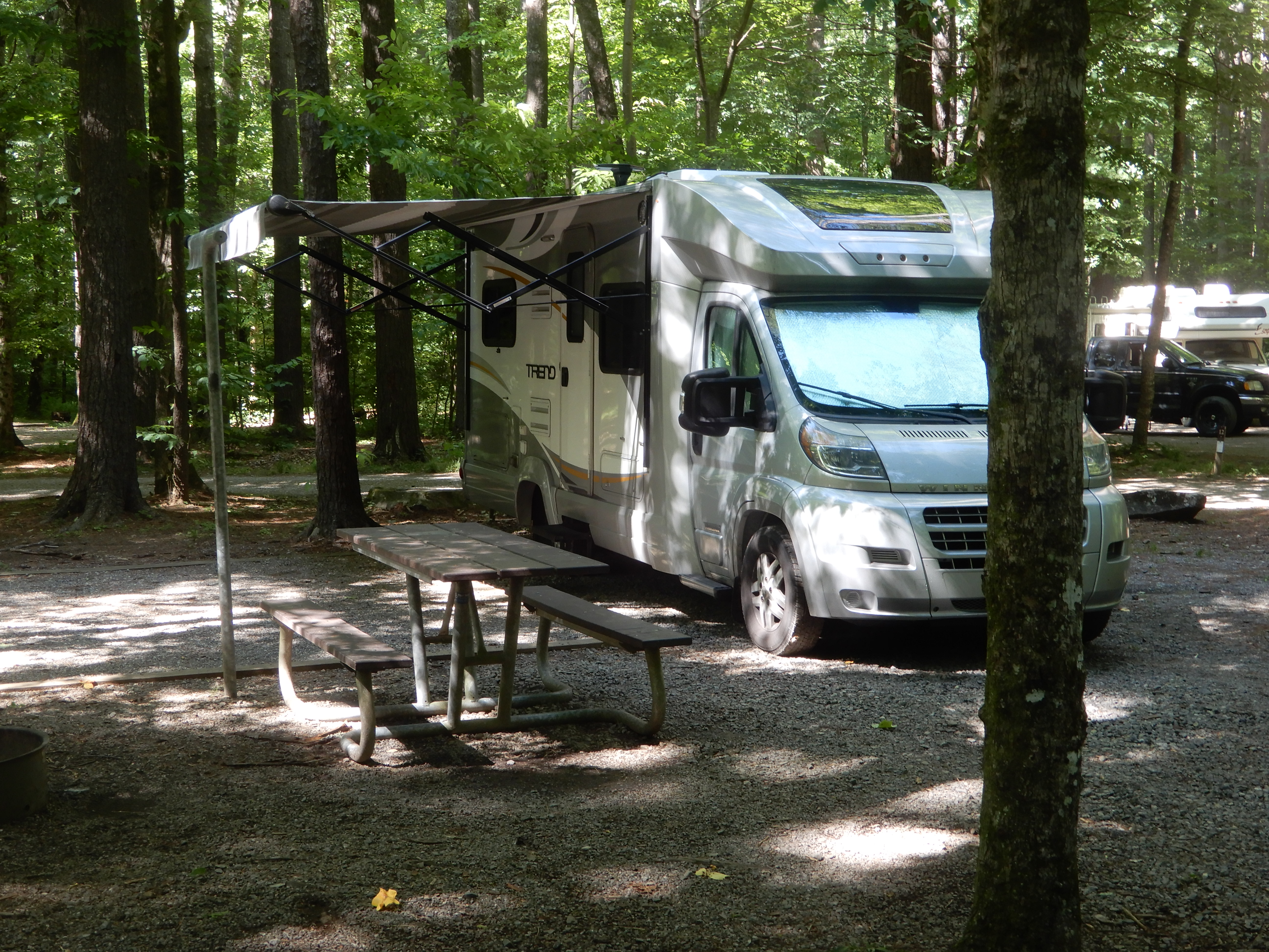
We set up on a site amid tall trees.
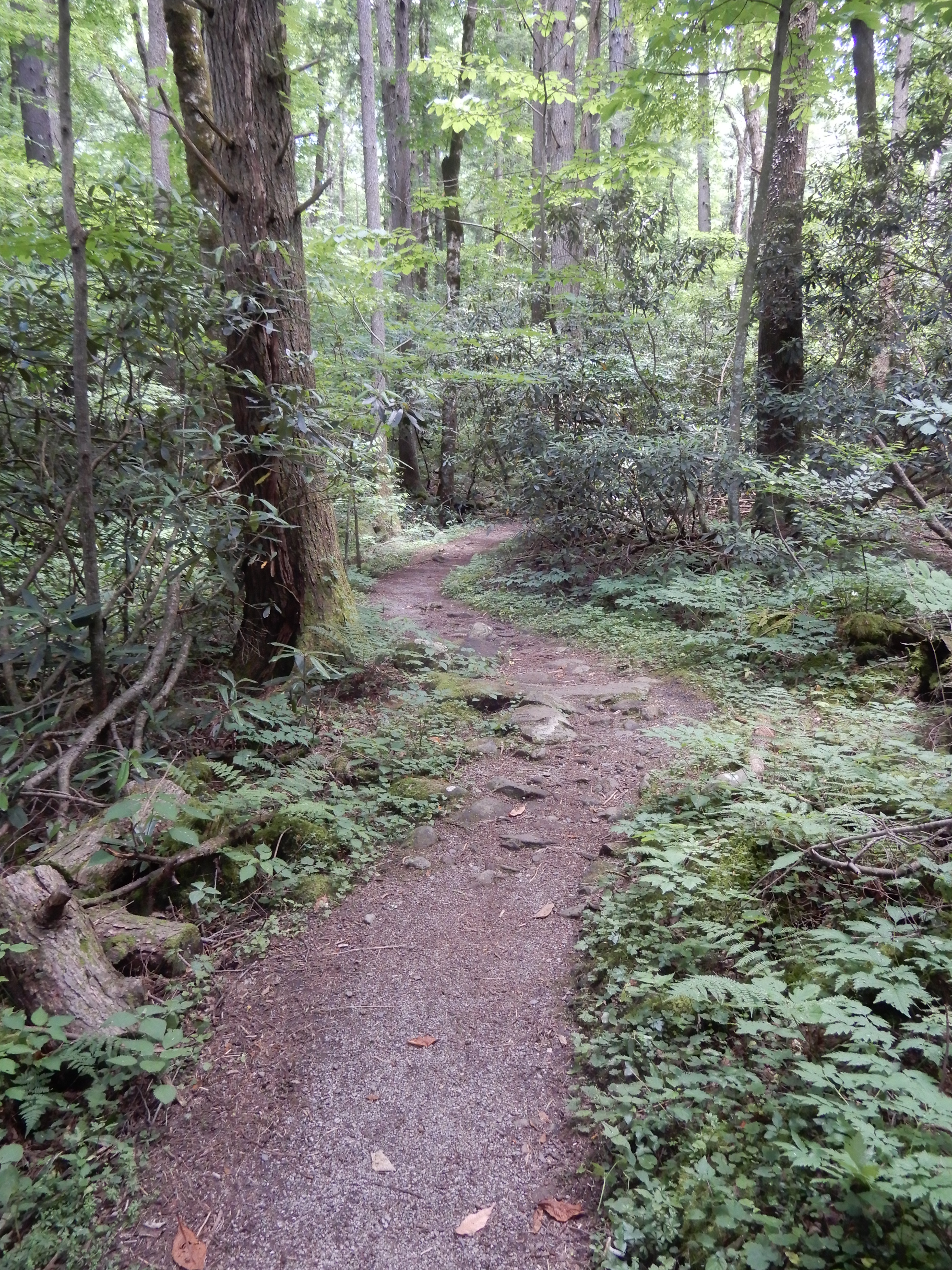
Later that day we hiked the Cosby Nature Trail, which was the most scenic nature trail I’d ever been on. It was like walking through an enchanted forest.
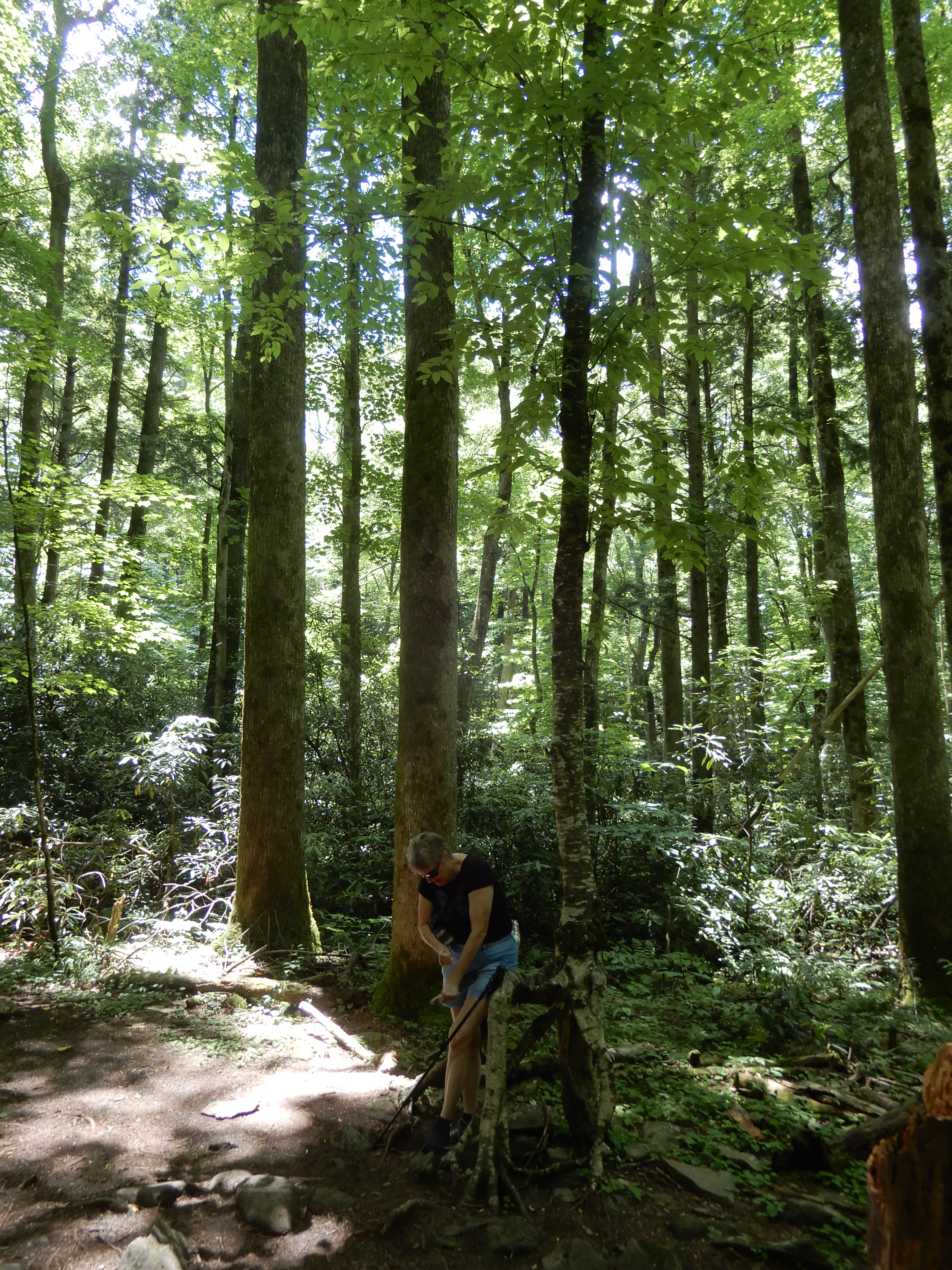
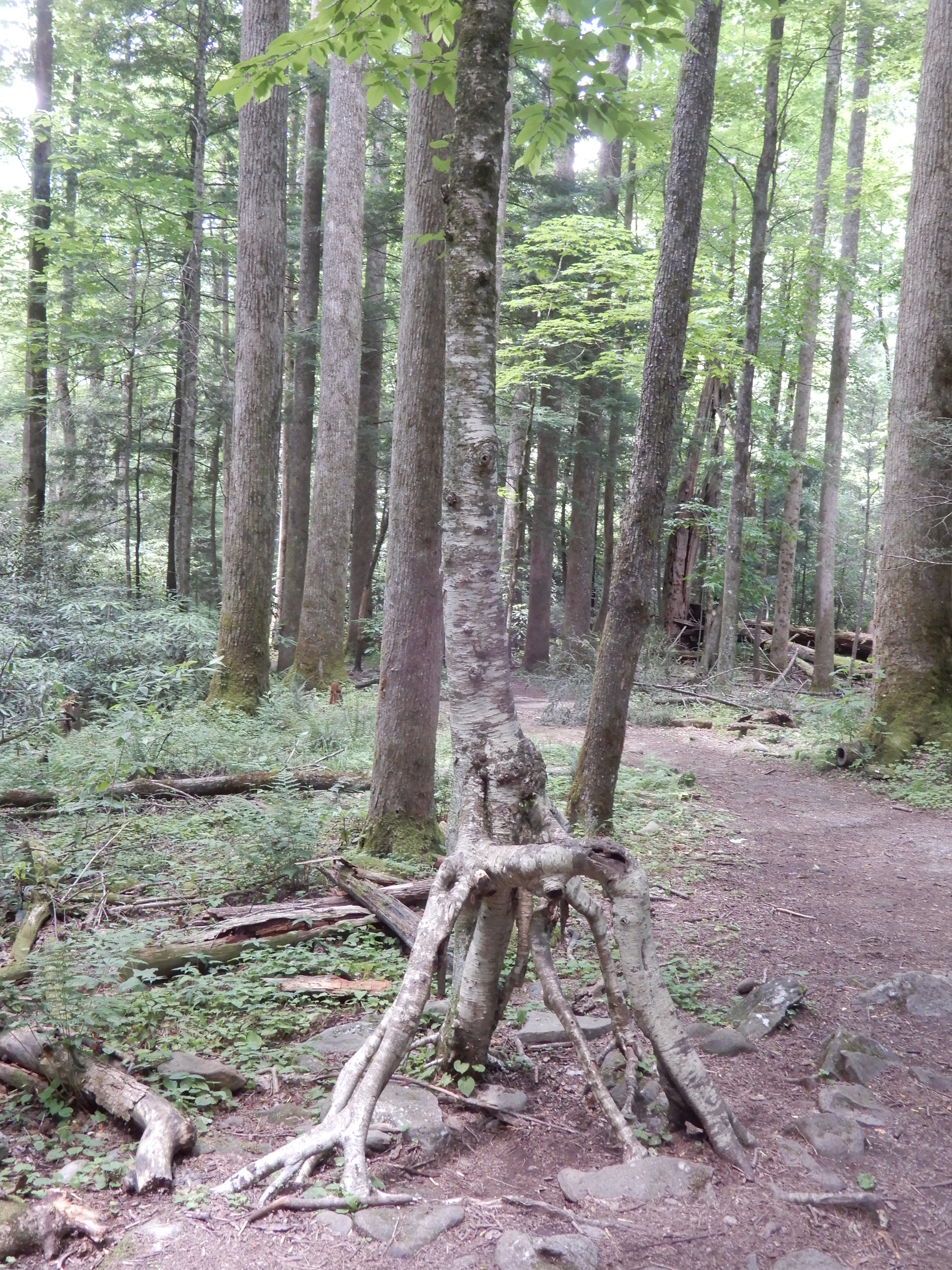
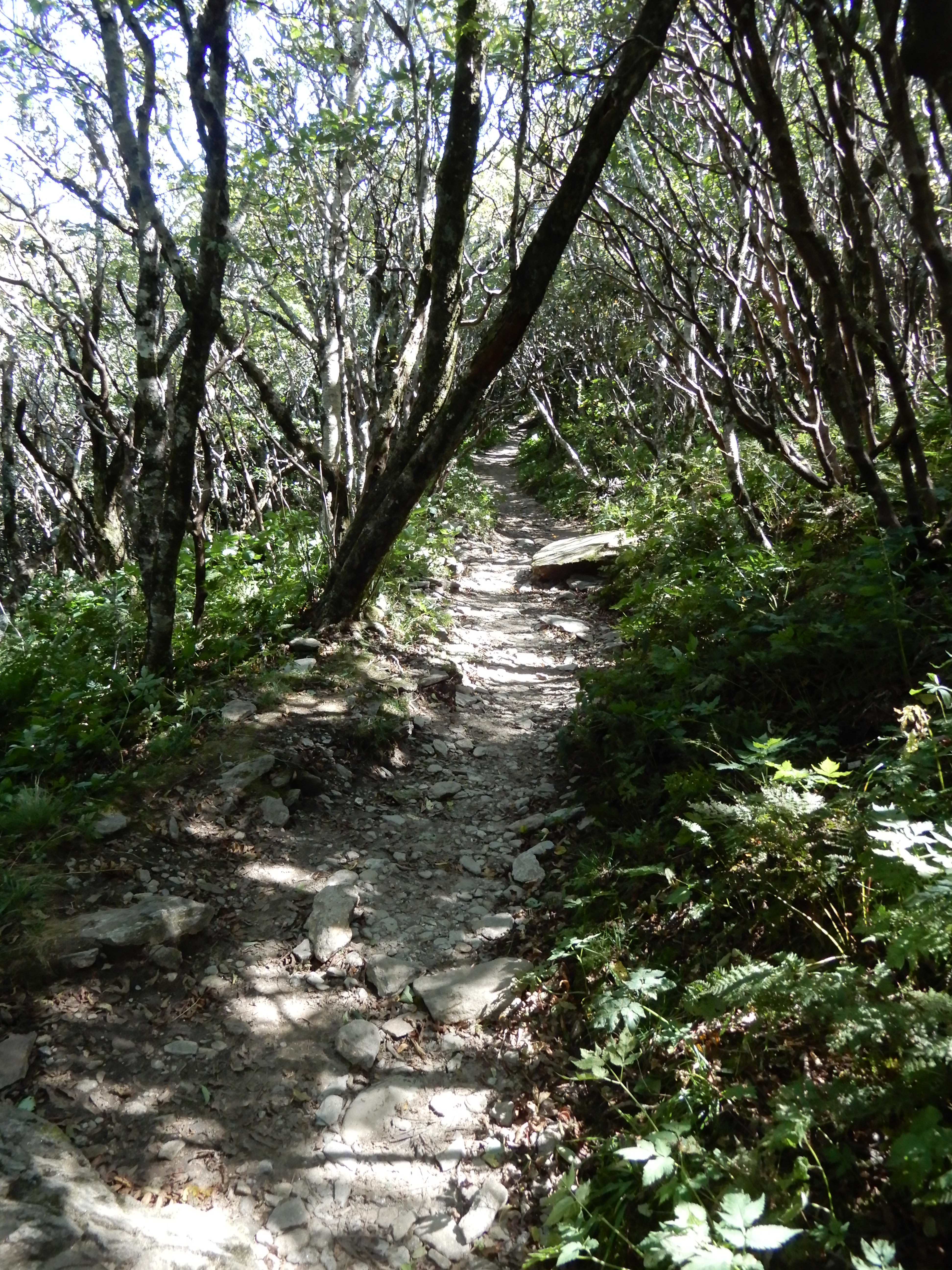
I took another hike on my own that was a bit more rugged.
It gained some altitude.
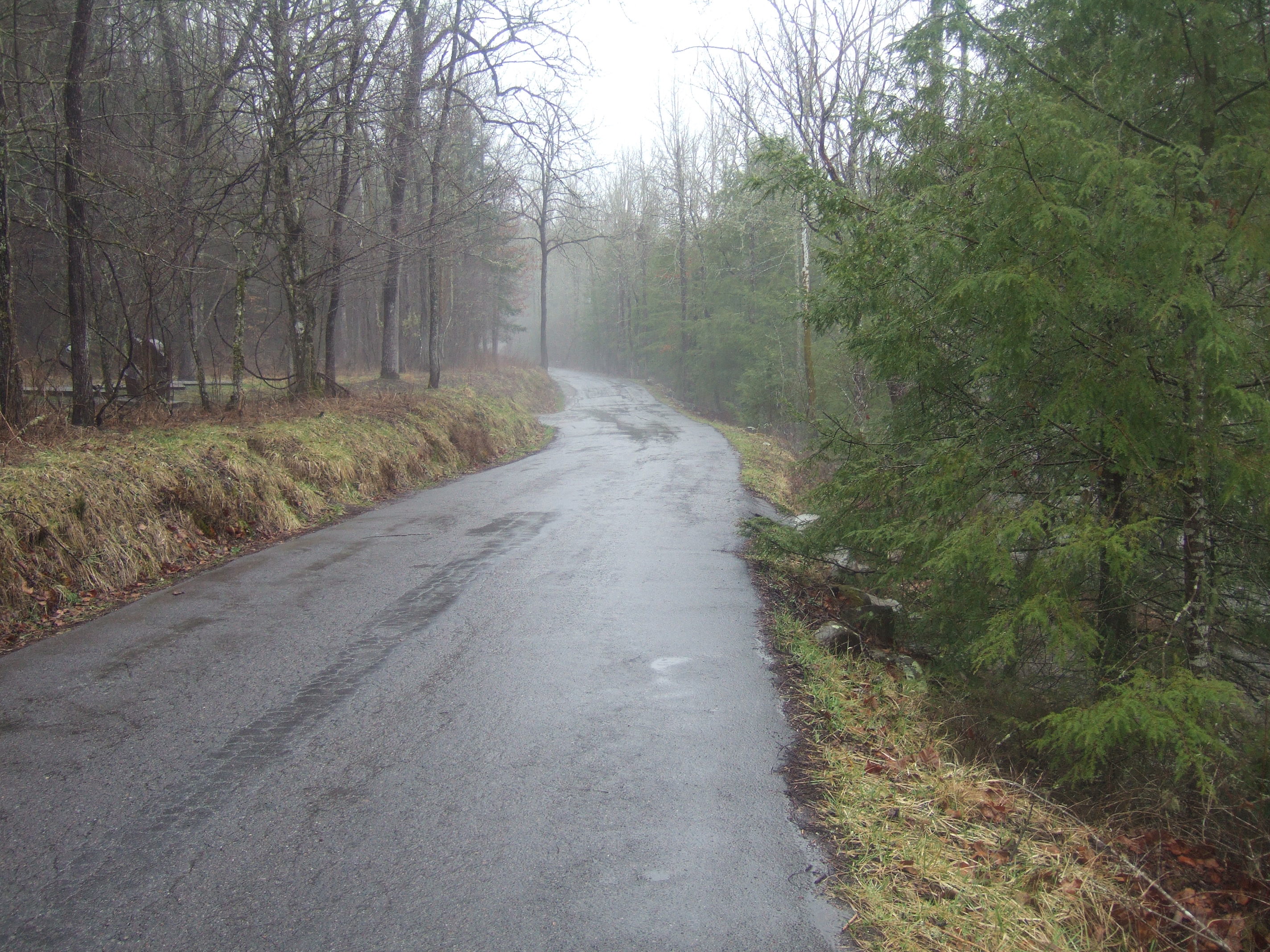
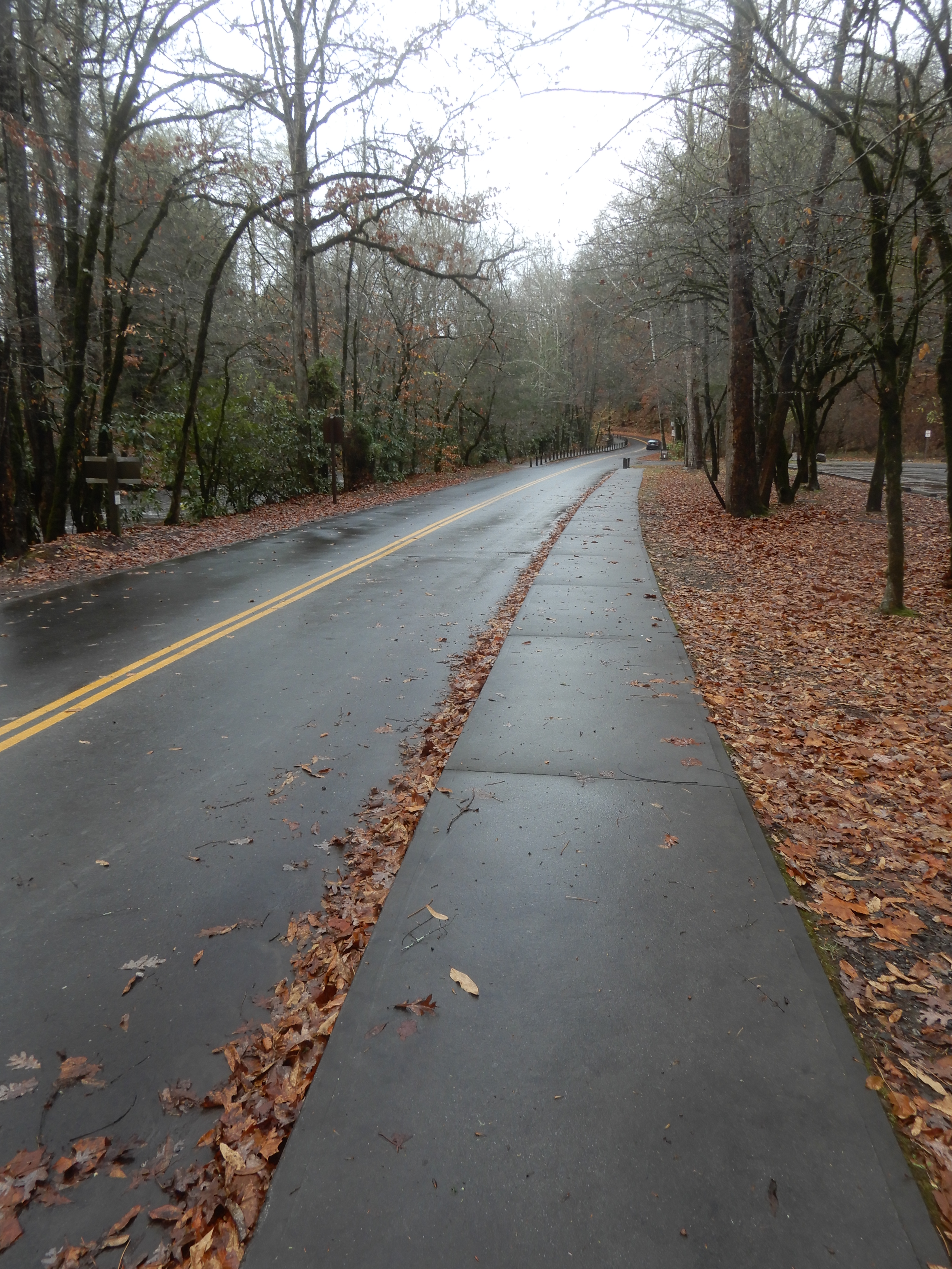
By the time I got back to the motor home I was worn out. So we relaxed at the site the rest of the day. The next day we took a side trip on one of the many narrow blacktop roads feeding off 321 into the park. I think it was Laurel Springs Road.
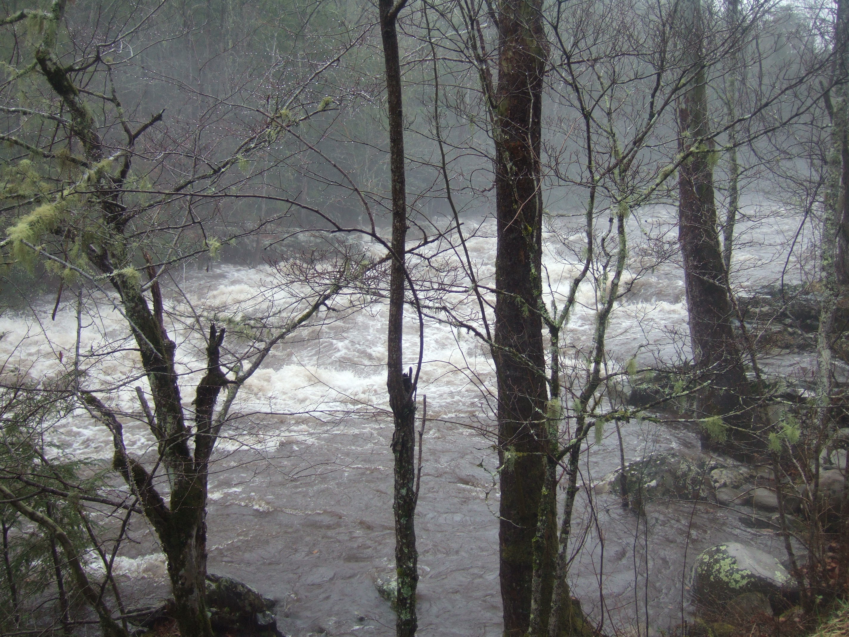
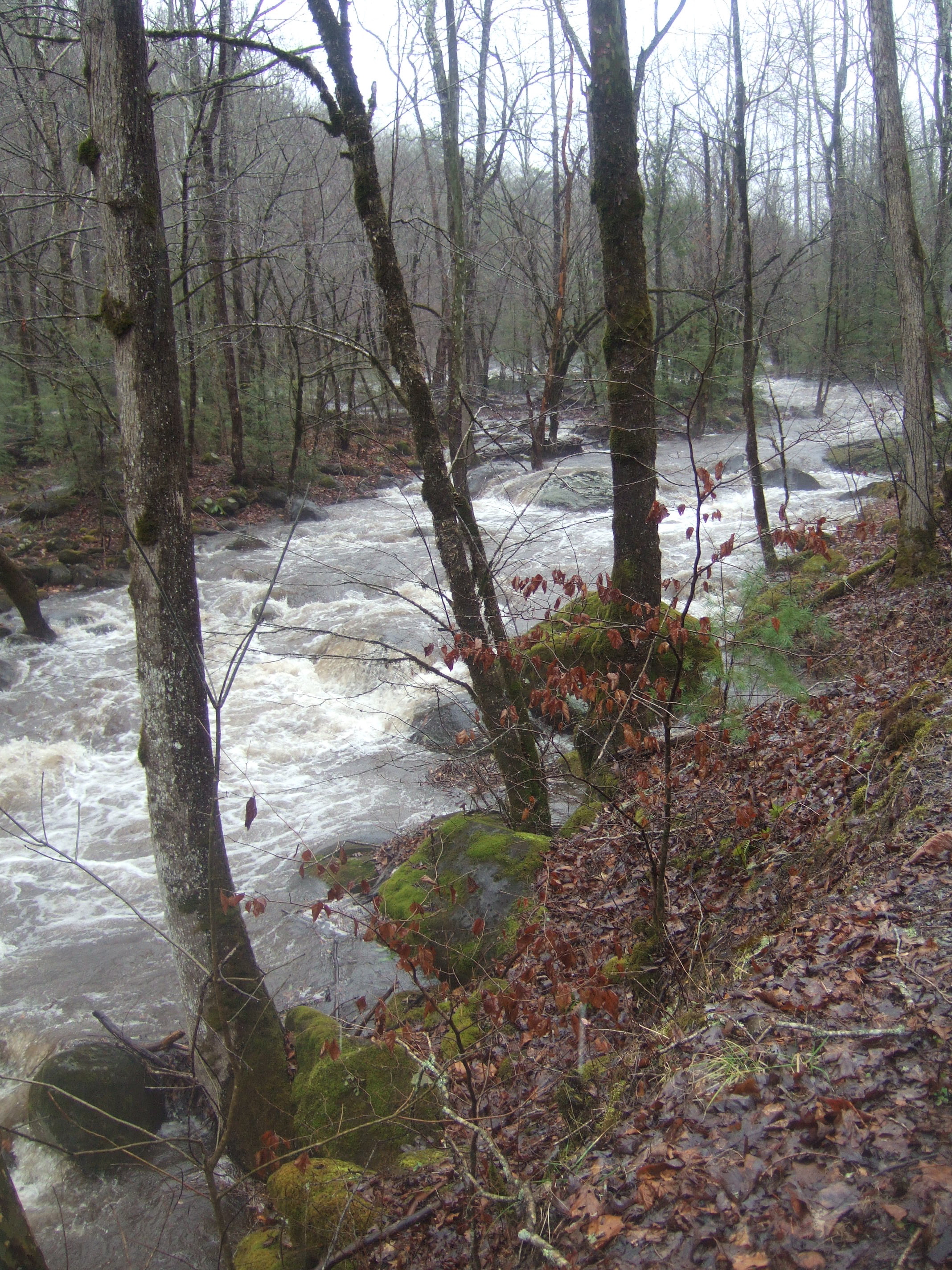
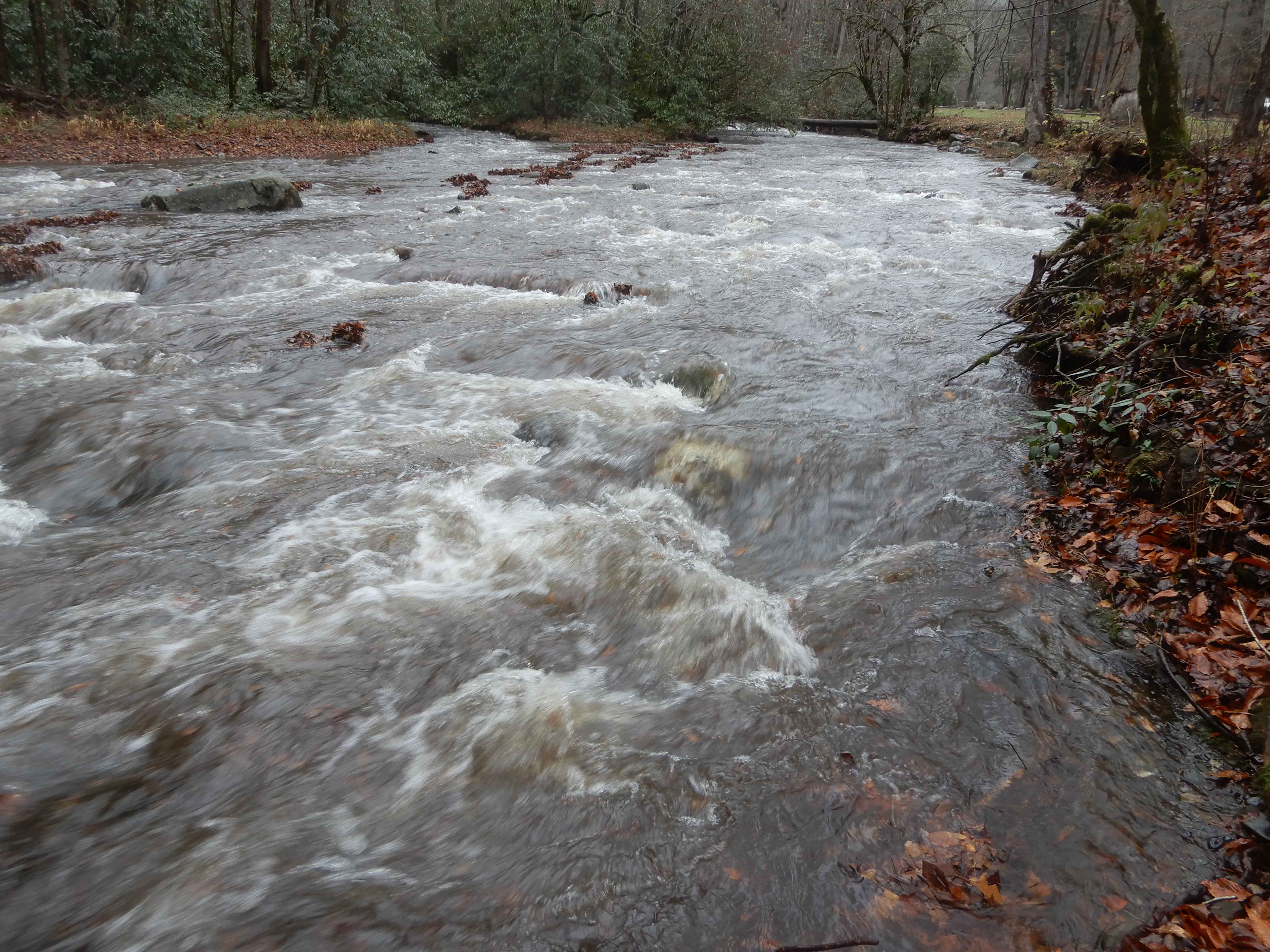
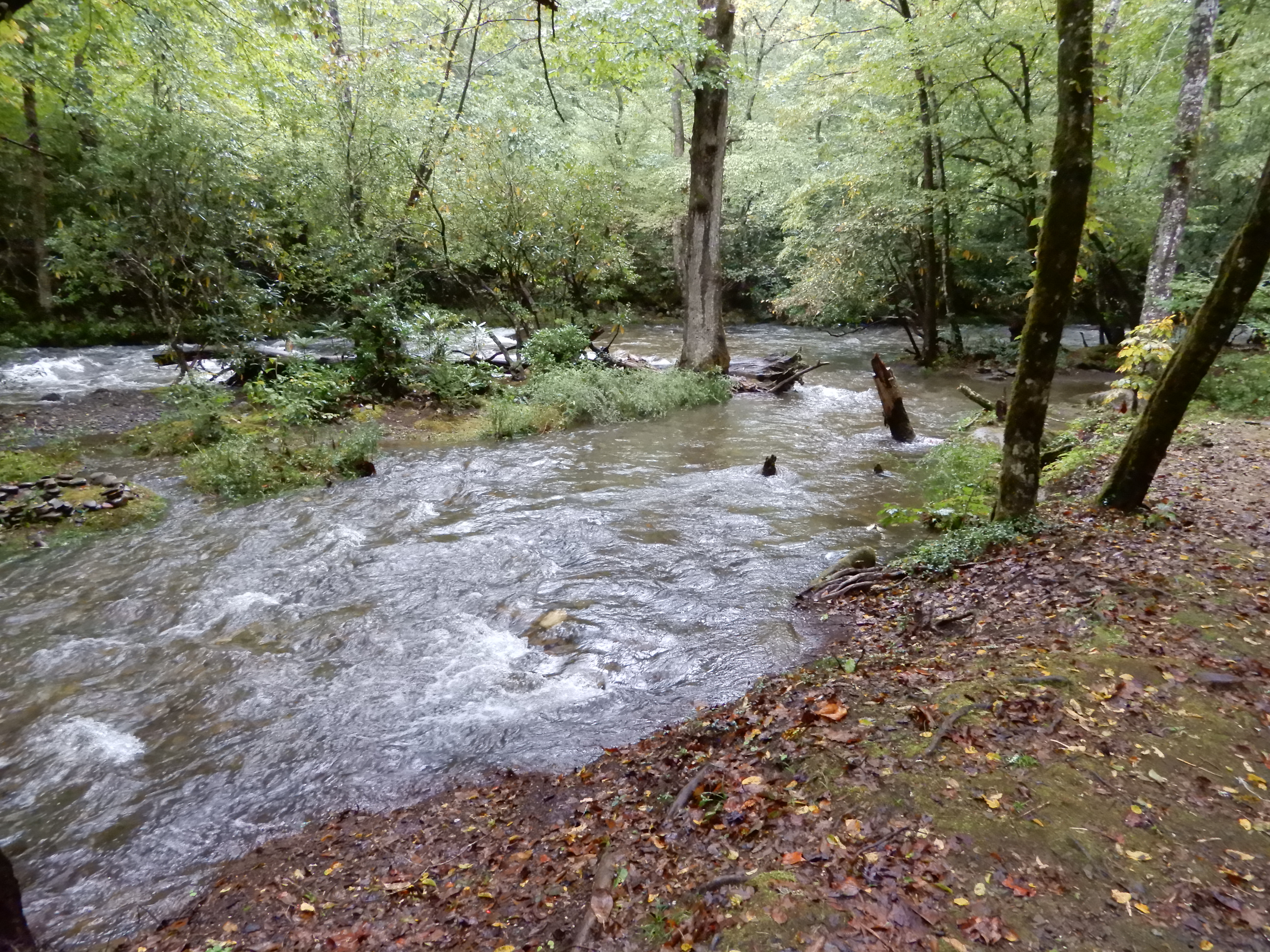
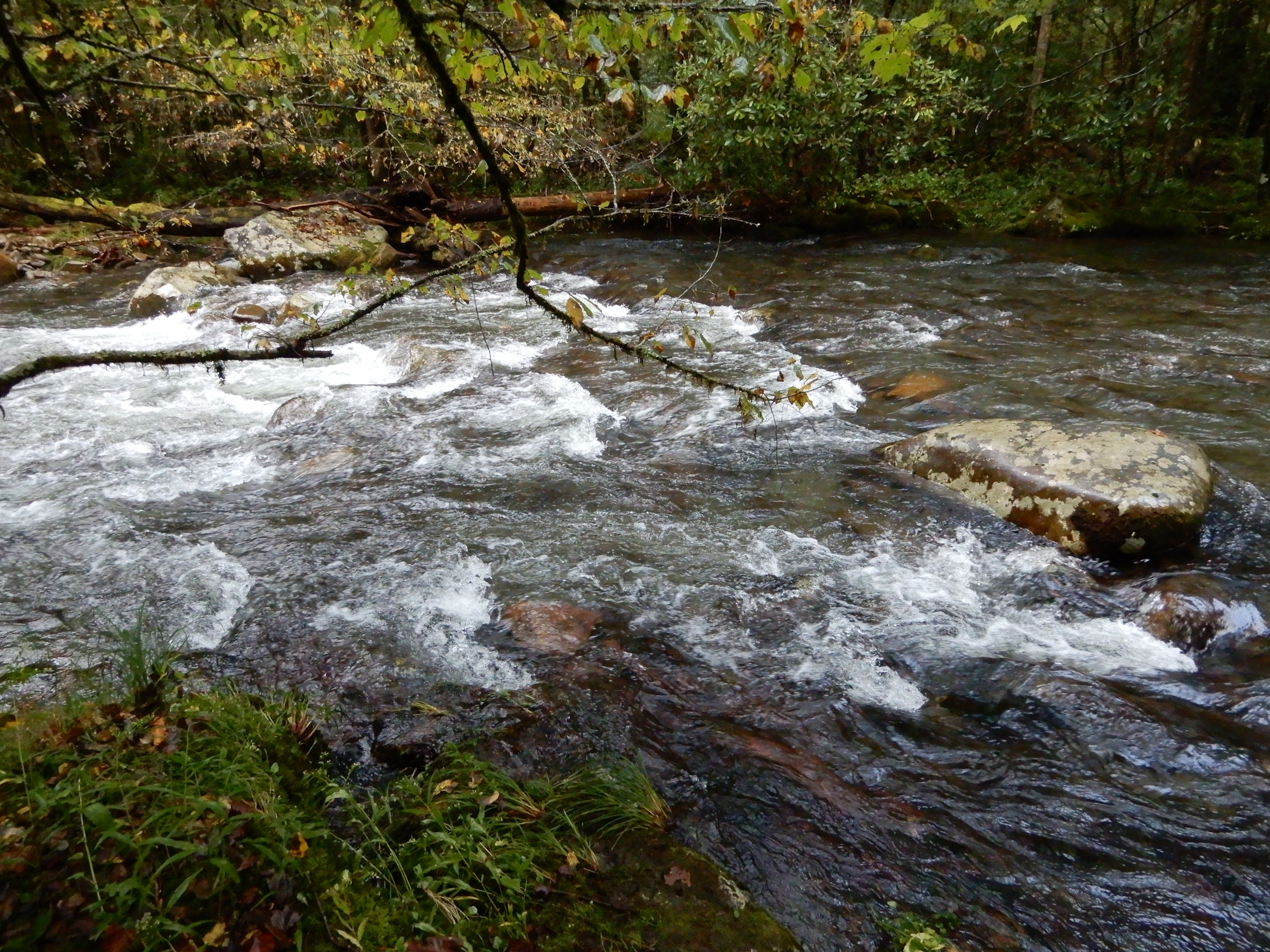
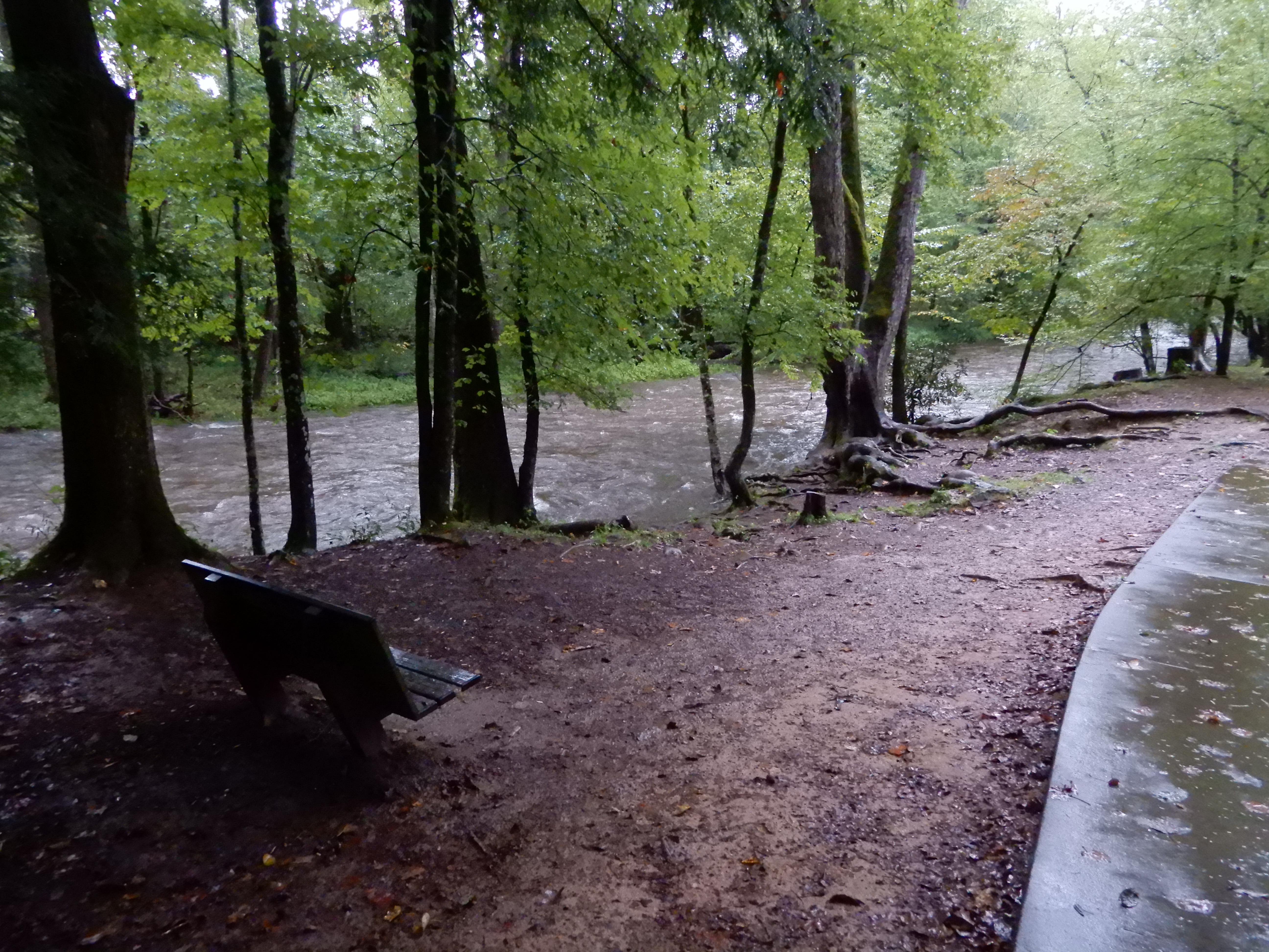
It had been raining a lot last night and that morning, so the creek the road followed was raging.
Since it was so muddy and sloppy, we didn’t hike on any trails there, we merely did some auto touring. After, we returned to our site in Cosby Campground.
NEXT LOCATION: Elkmont Campground, Smoky Mountains National Park, Tennessee
The next day was sunnier. We broke camp early and headed for Cataloochie Campground. Getting to Cataloochie is half the fun. Leaving Smokemont Campground, we drove south on 441 to the south terminus of the Blue Ridge Parkway. We drove north to the Socco Road access, where we exited the Blue Ridge Parkway and continued east on 19 into Maggie Valley. There we headed north on one narrow twisting country road after another, steadily gaining elevation and following Rough Creek much of the way. Then came the really fun part. Leaving Rough Creek behind, we drove onto Ranger Station Road, which led to Cataloochie Entrance Road. Where on a very steep grade we ran out of pavement. For several miles it was a gravel road twisting up to a mountaintop and over, to descend on the other side in the same twisting way. It was great fun. Of course, even though the road was gravel and clung to sheer drops, it was designed wide enough to handle campers. We just took it slowly and enjoyed the sights. After descending for a couple miles on the other side, the pavement returned and we had easy passage the rest of the way to Cataloochie Campground.
Naturally, we went for a short hike to settle our nerves.
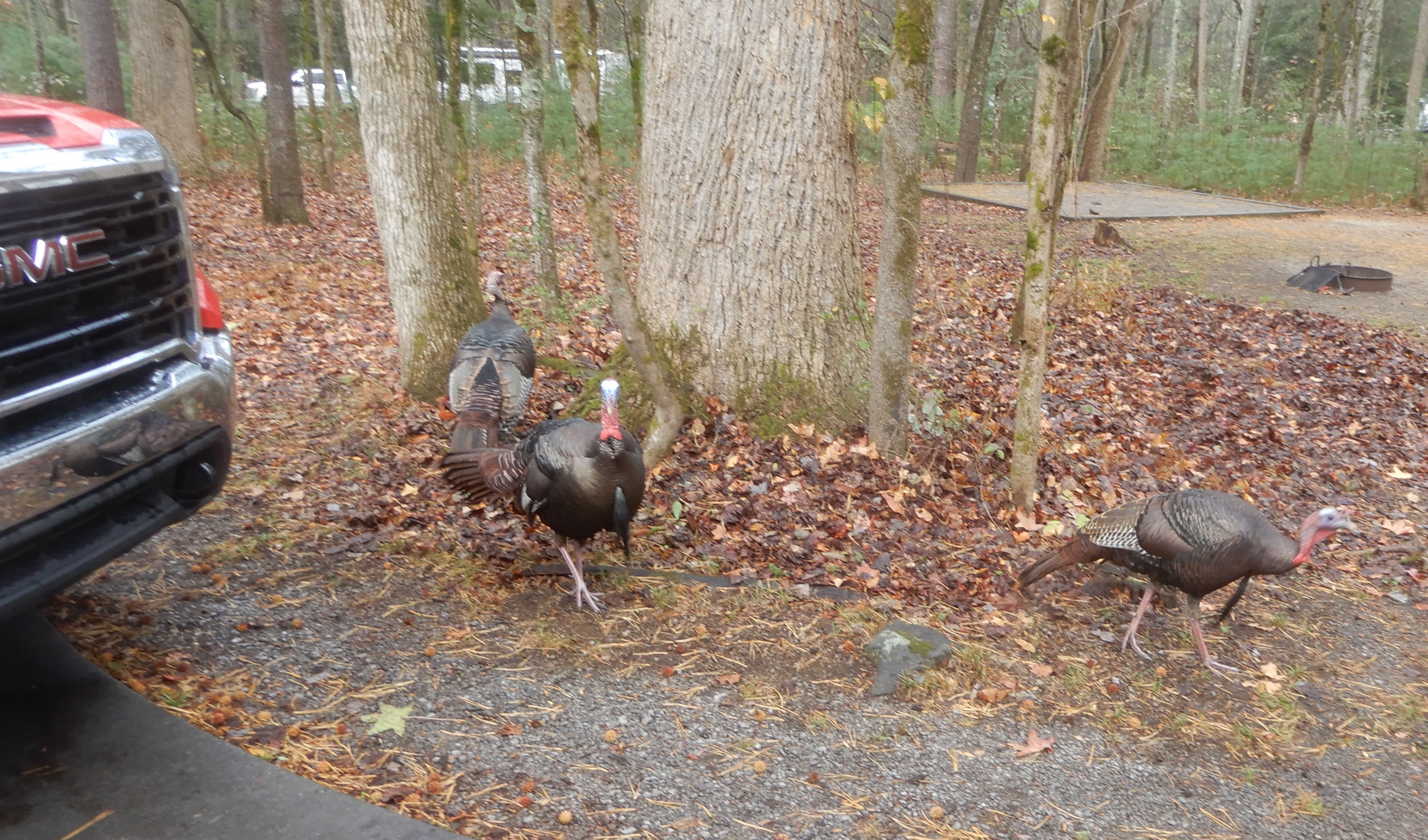
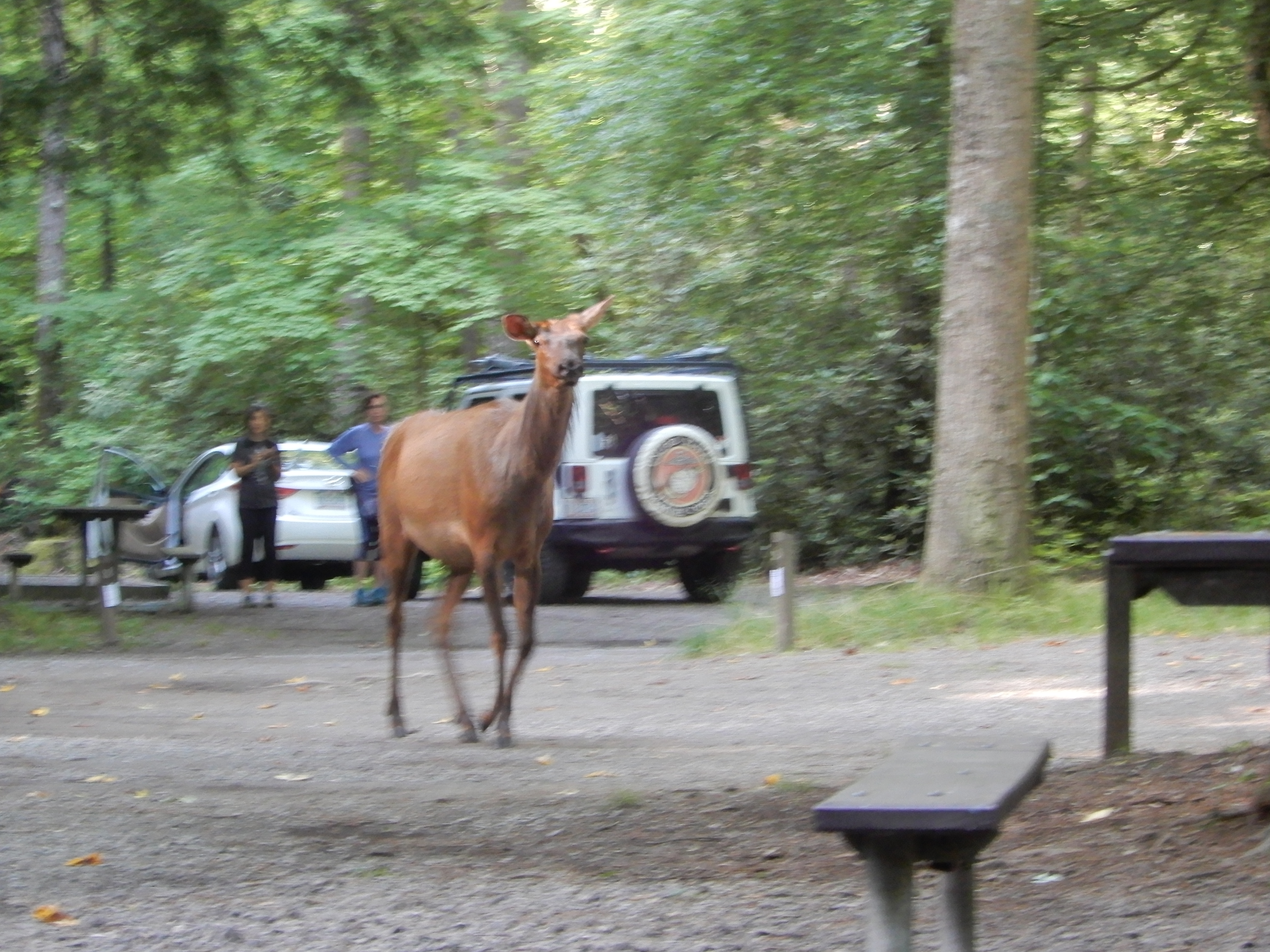
Back from our hike, we encountered the campground pet.
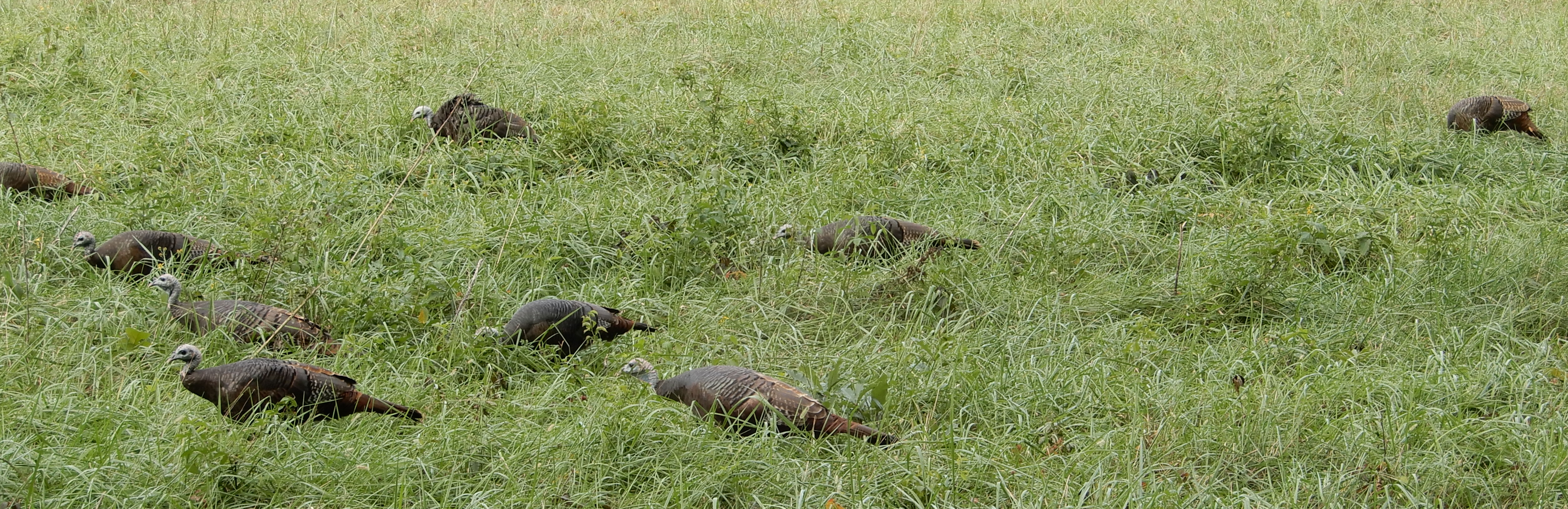
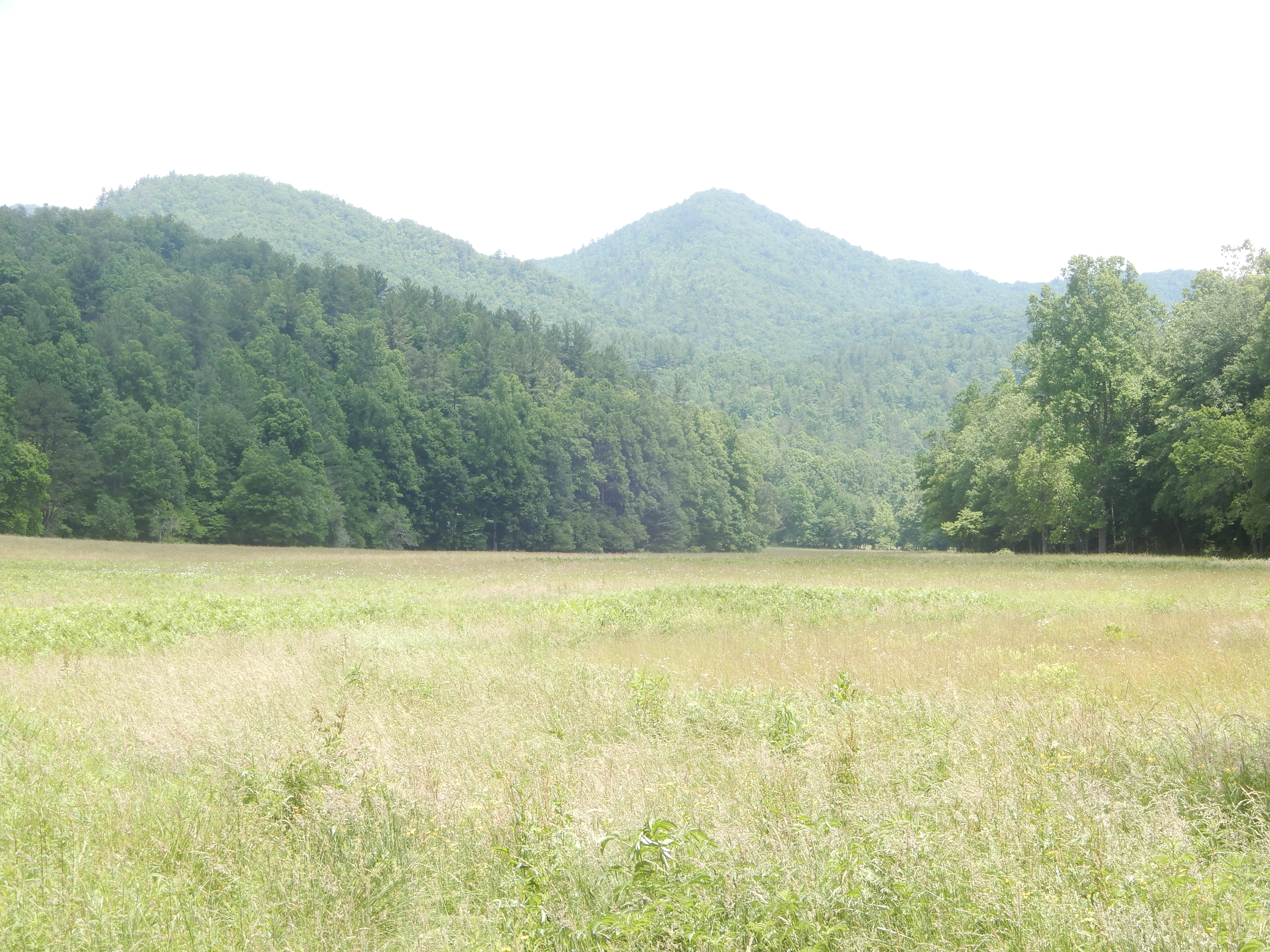
Not really a pet. Whenever the resident ranger saw the moose he chased it away. But it always came back. It knew where to find an easy meal. The next day we drove around the valley.
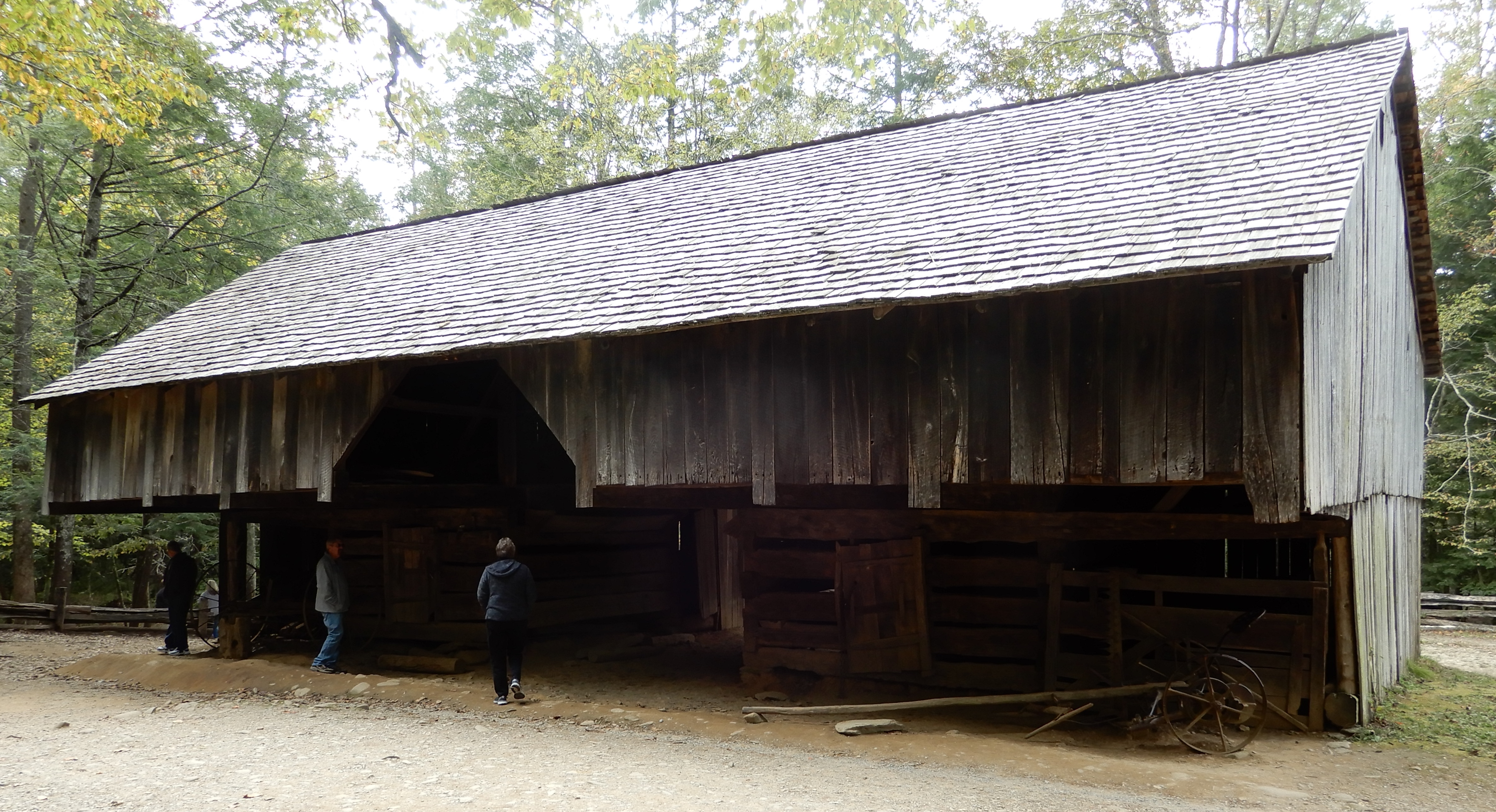
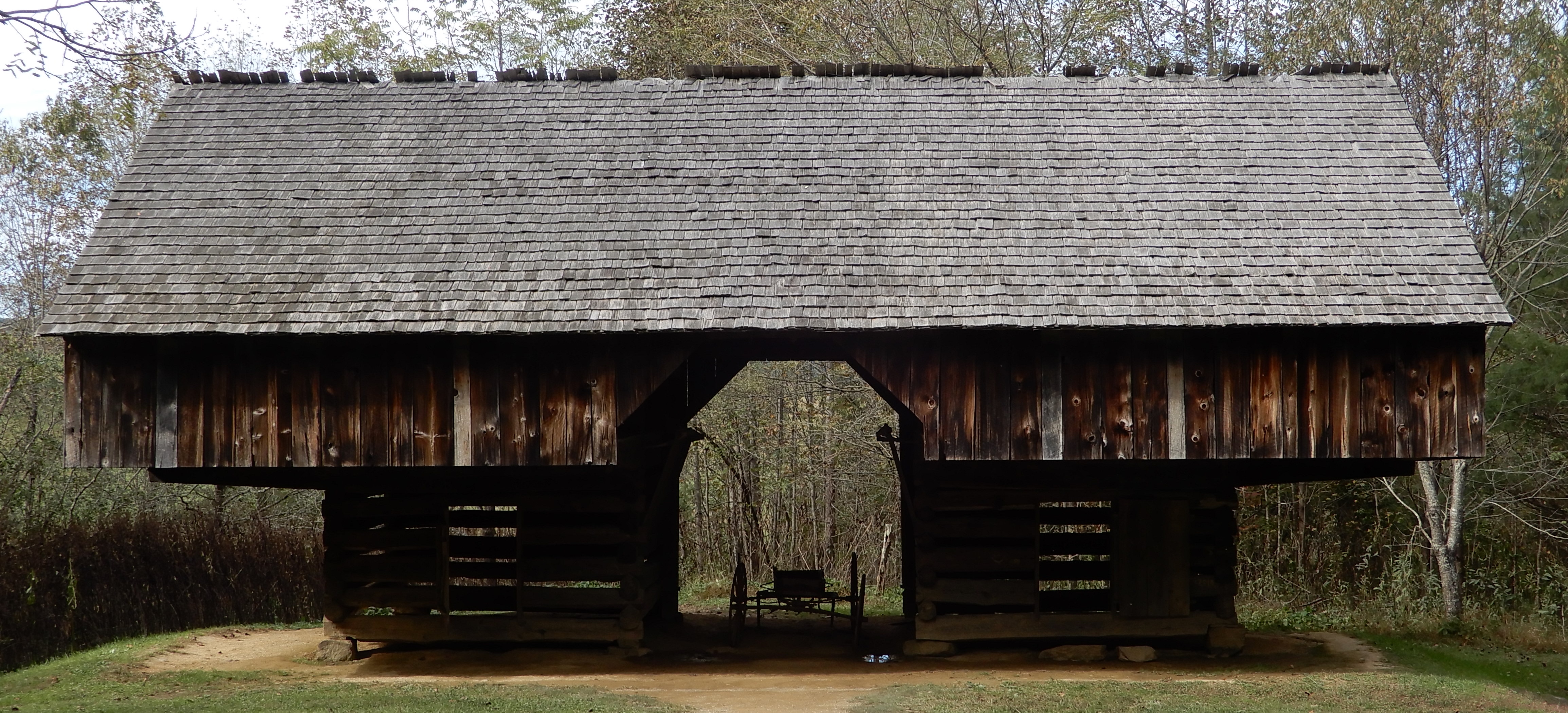
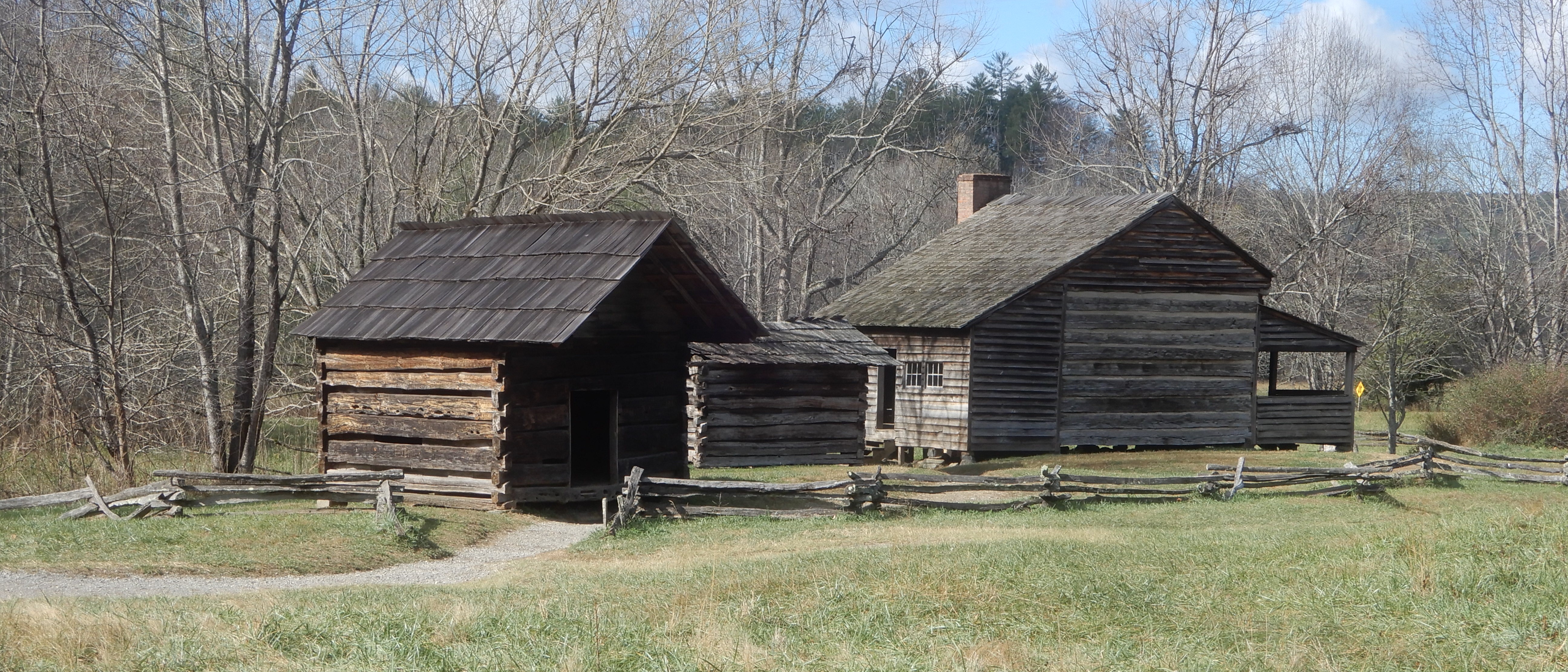
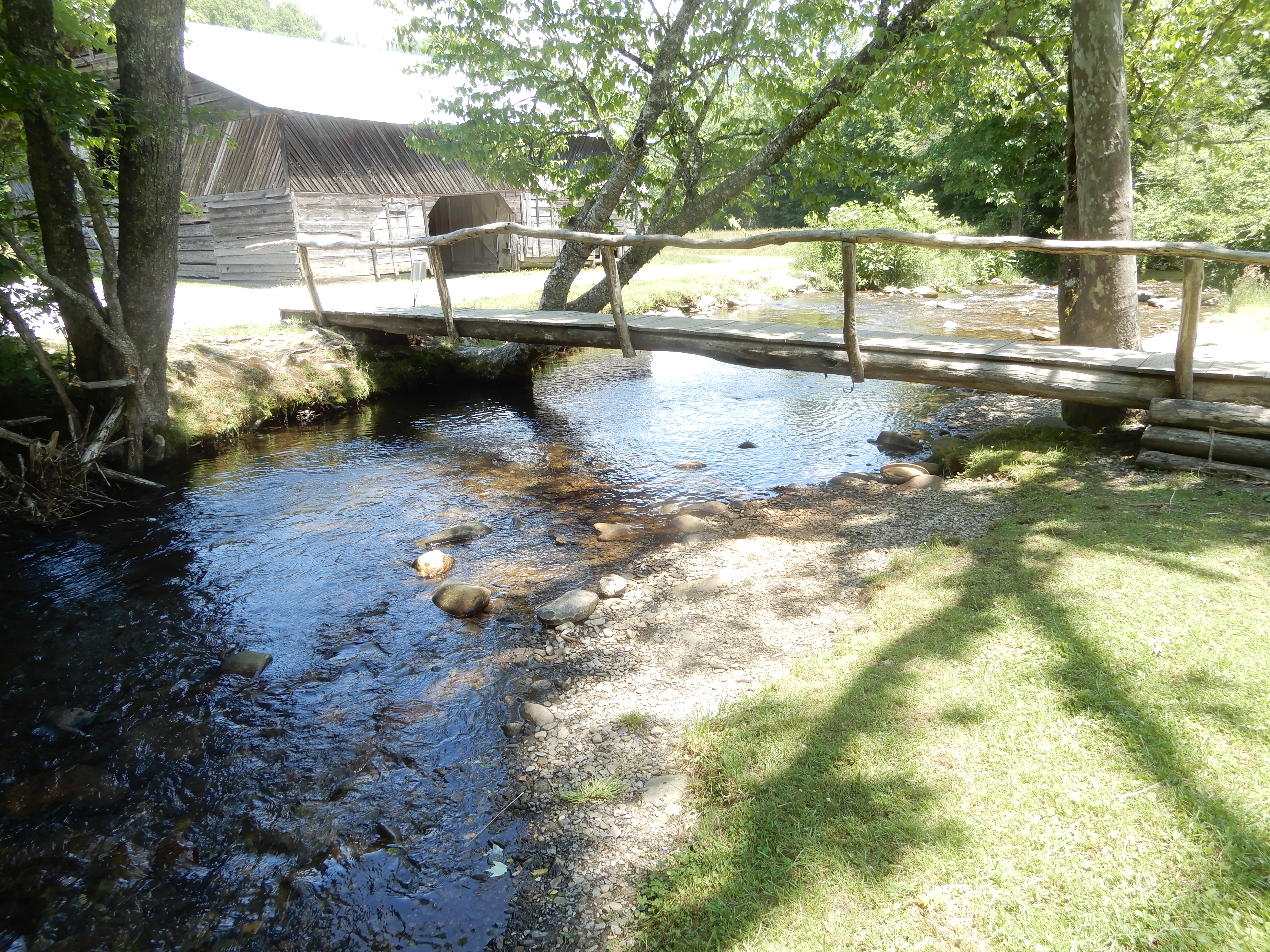
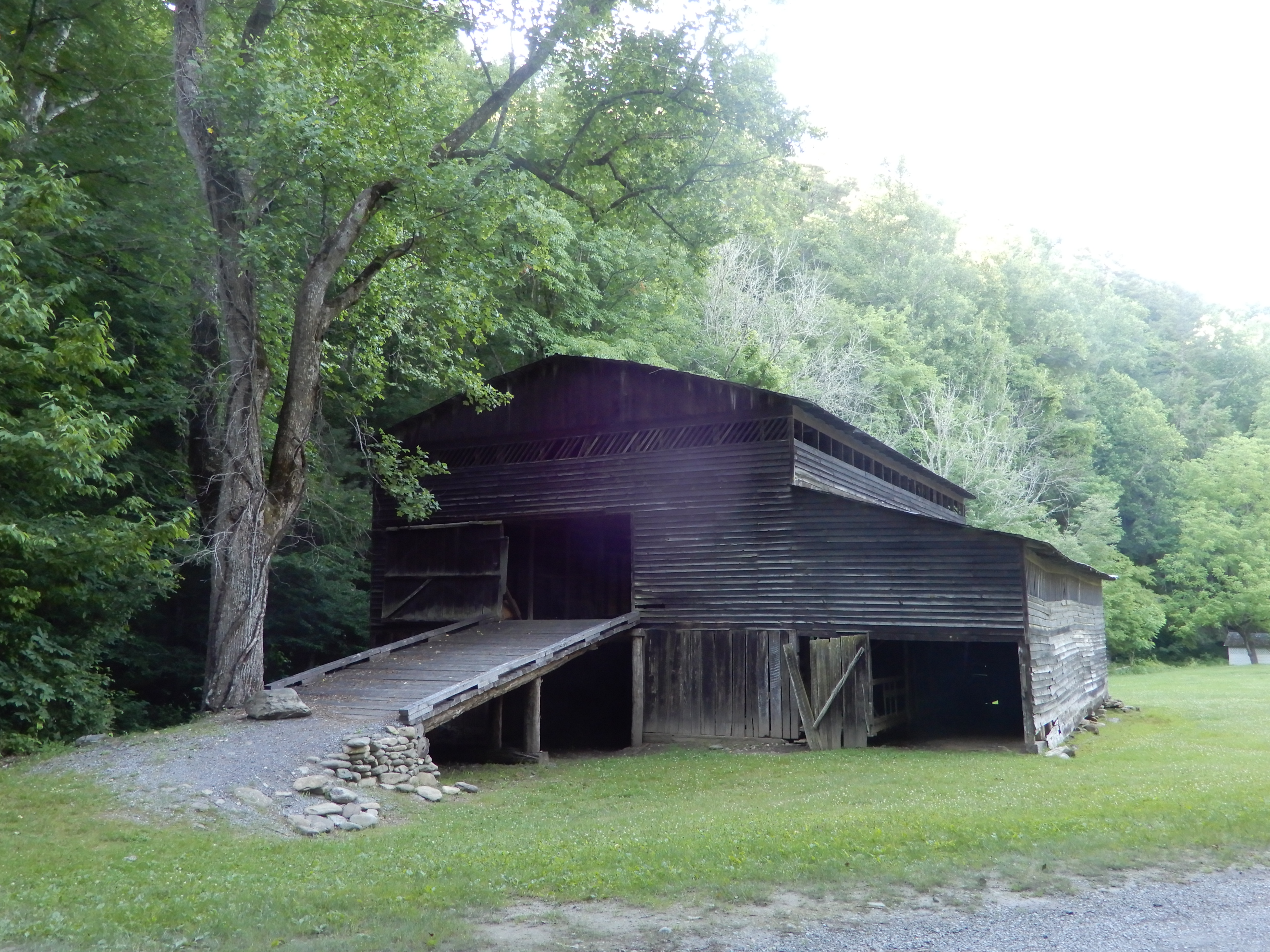
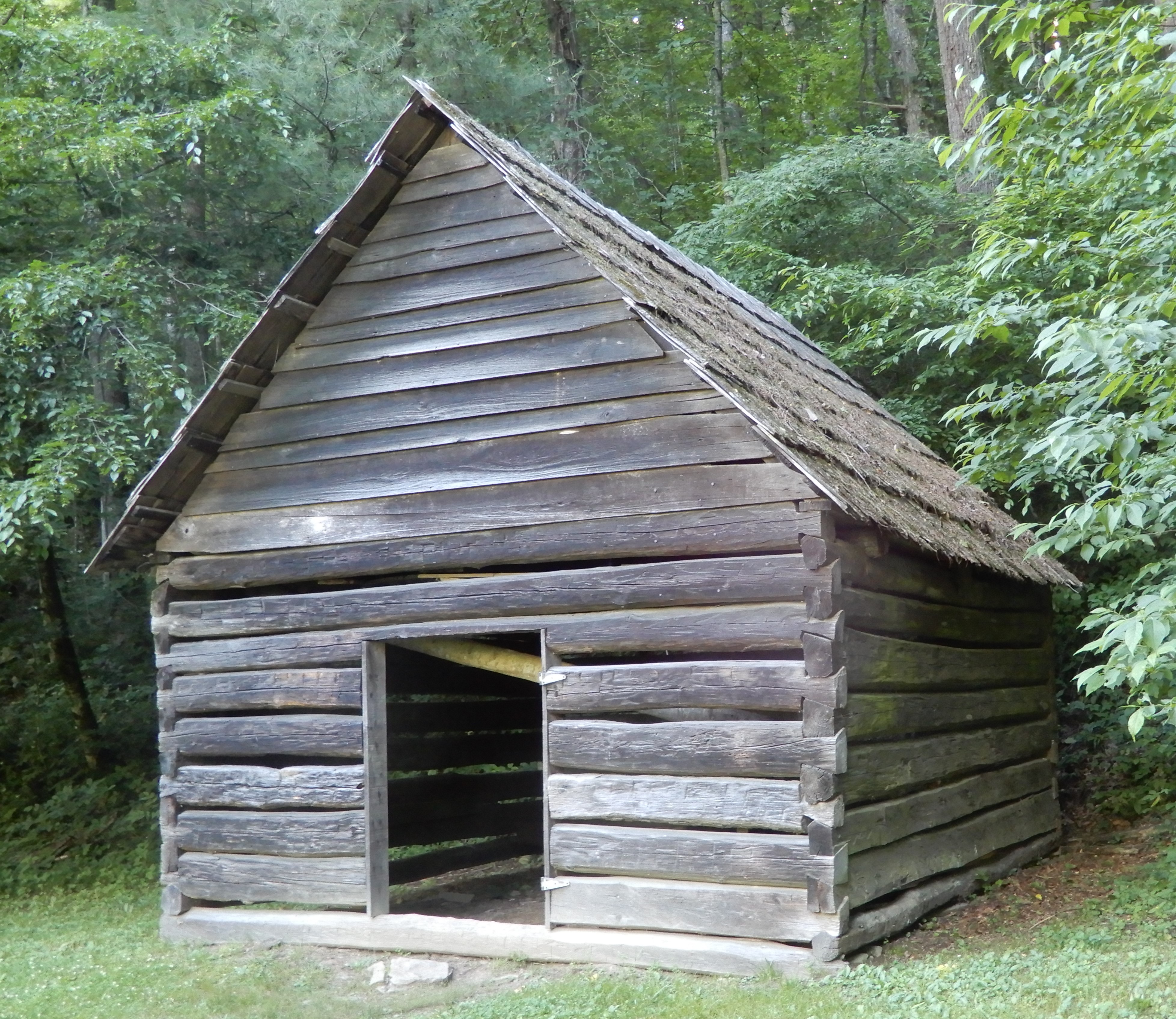
We parked the motor home and hiked a trail that led us to restored buildings. The valley used to be a secluded community.
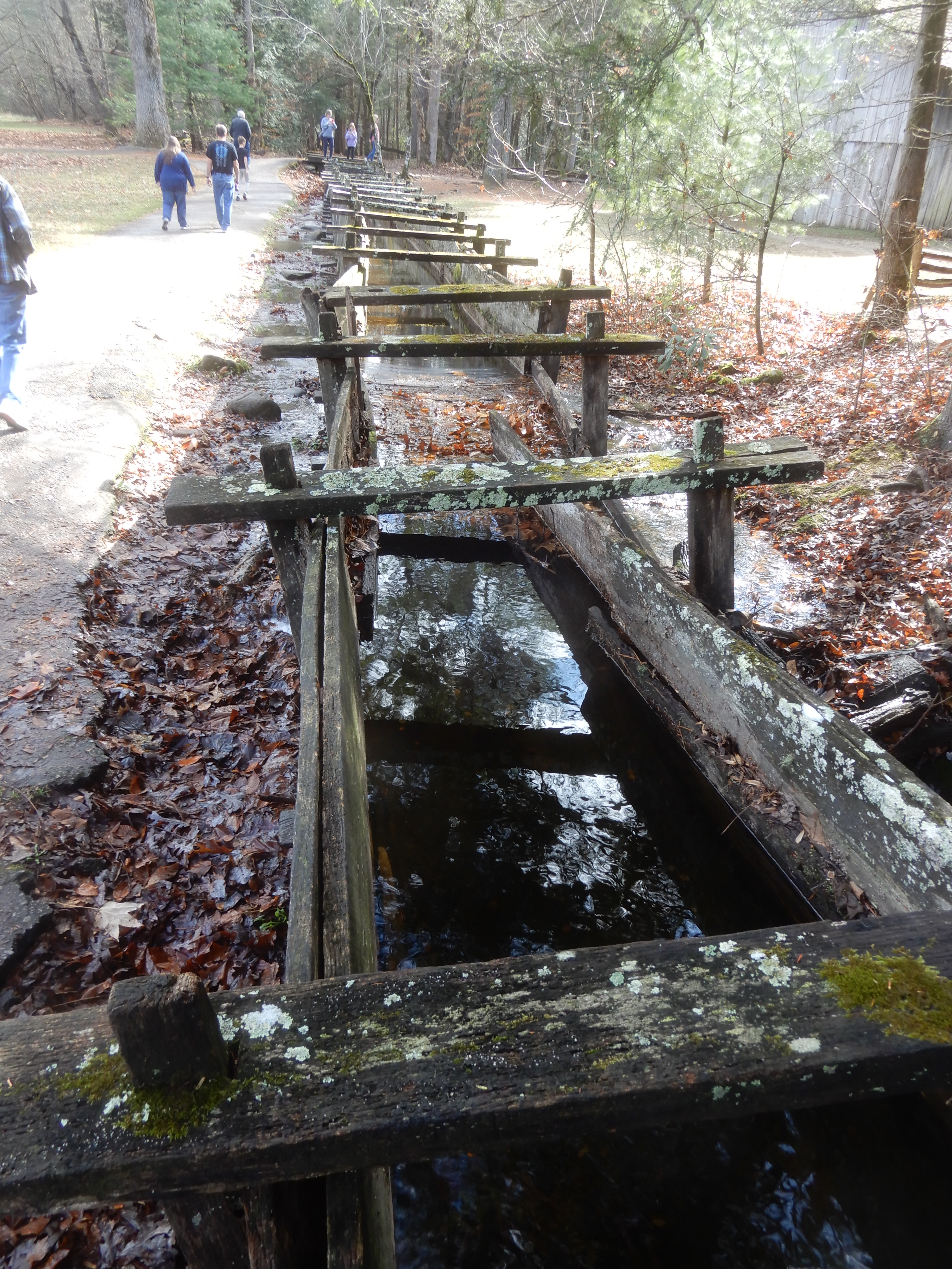
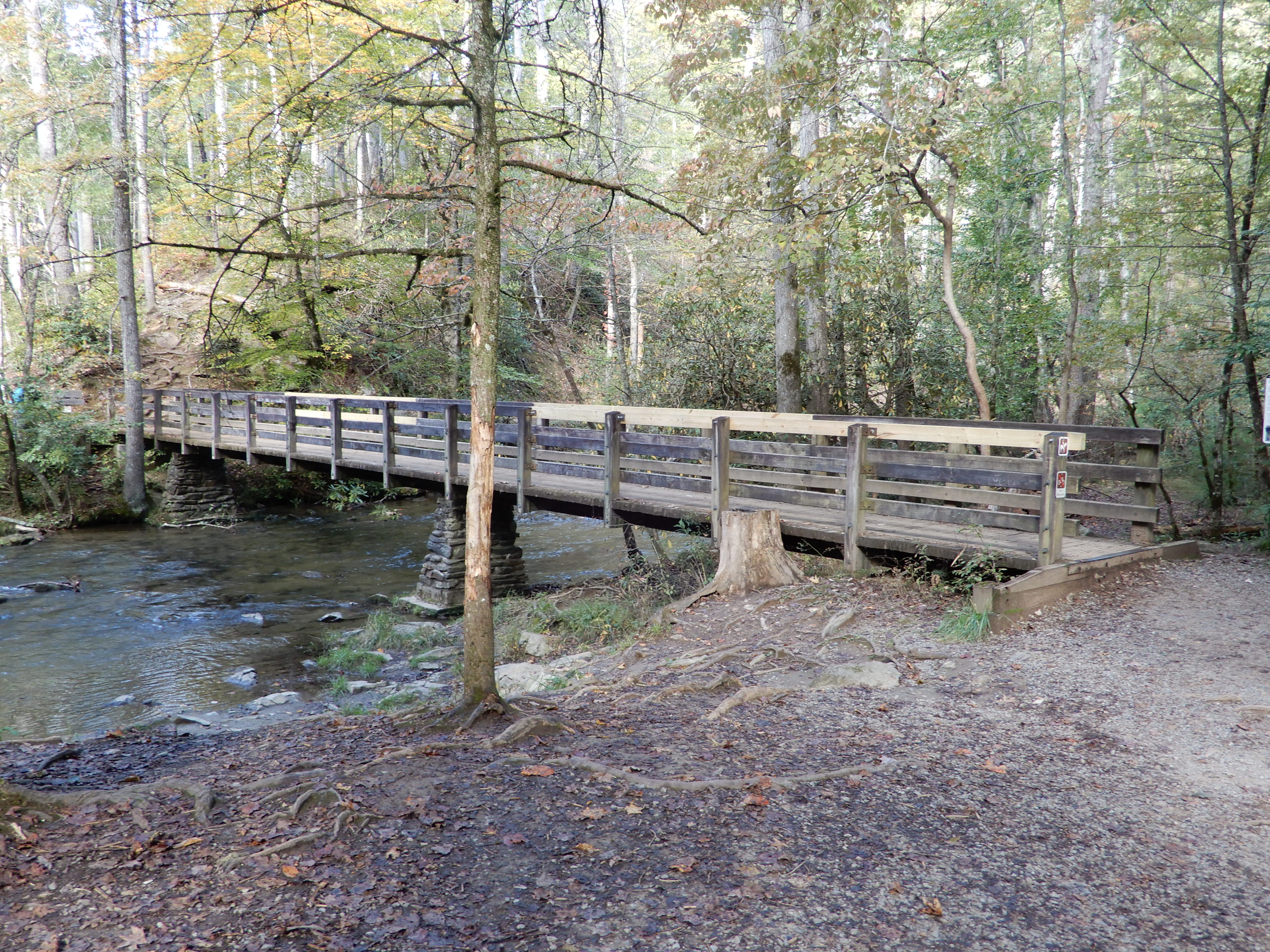
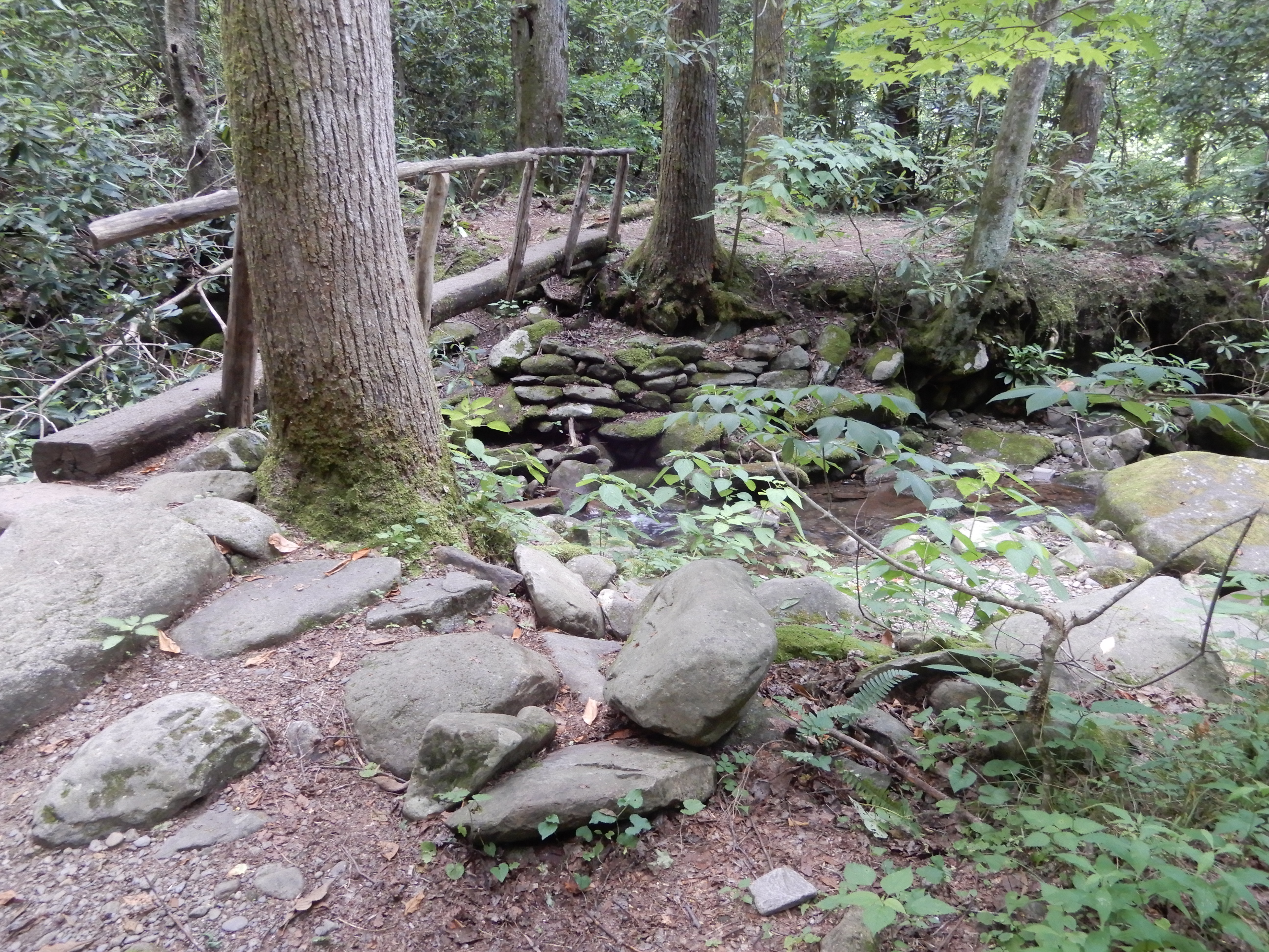
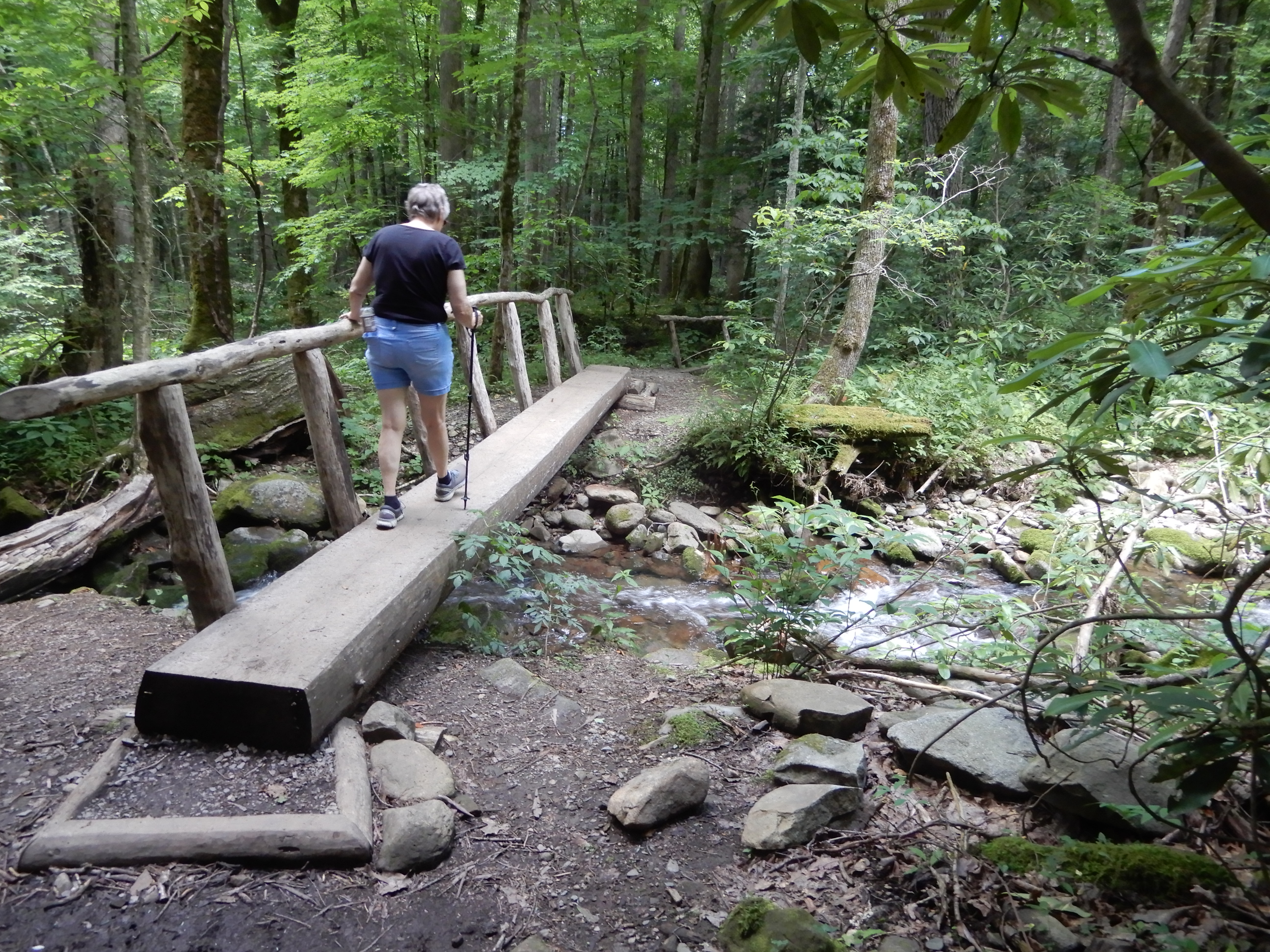
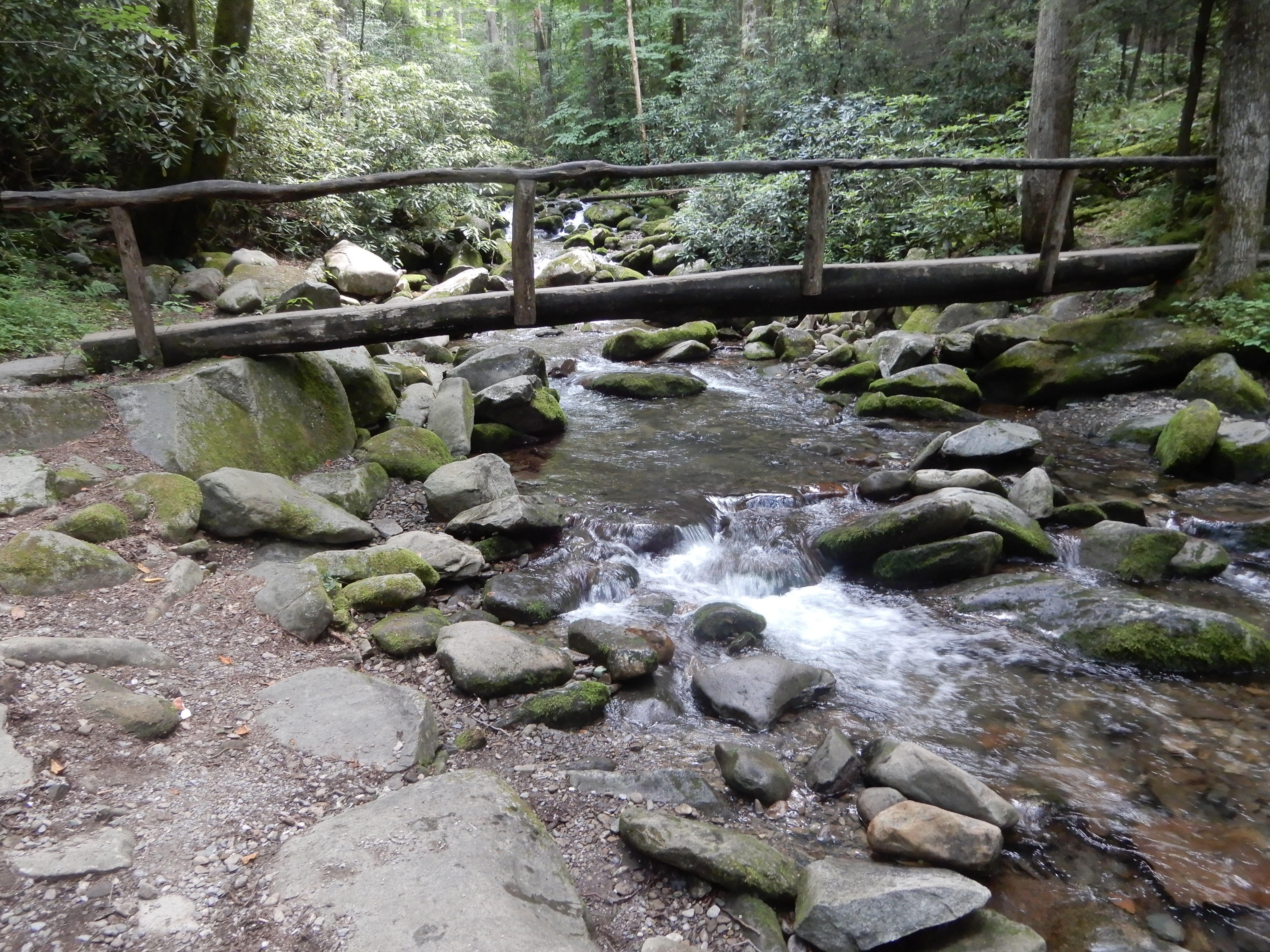
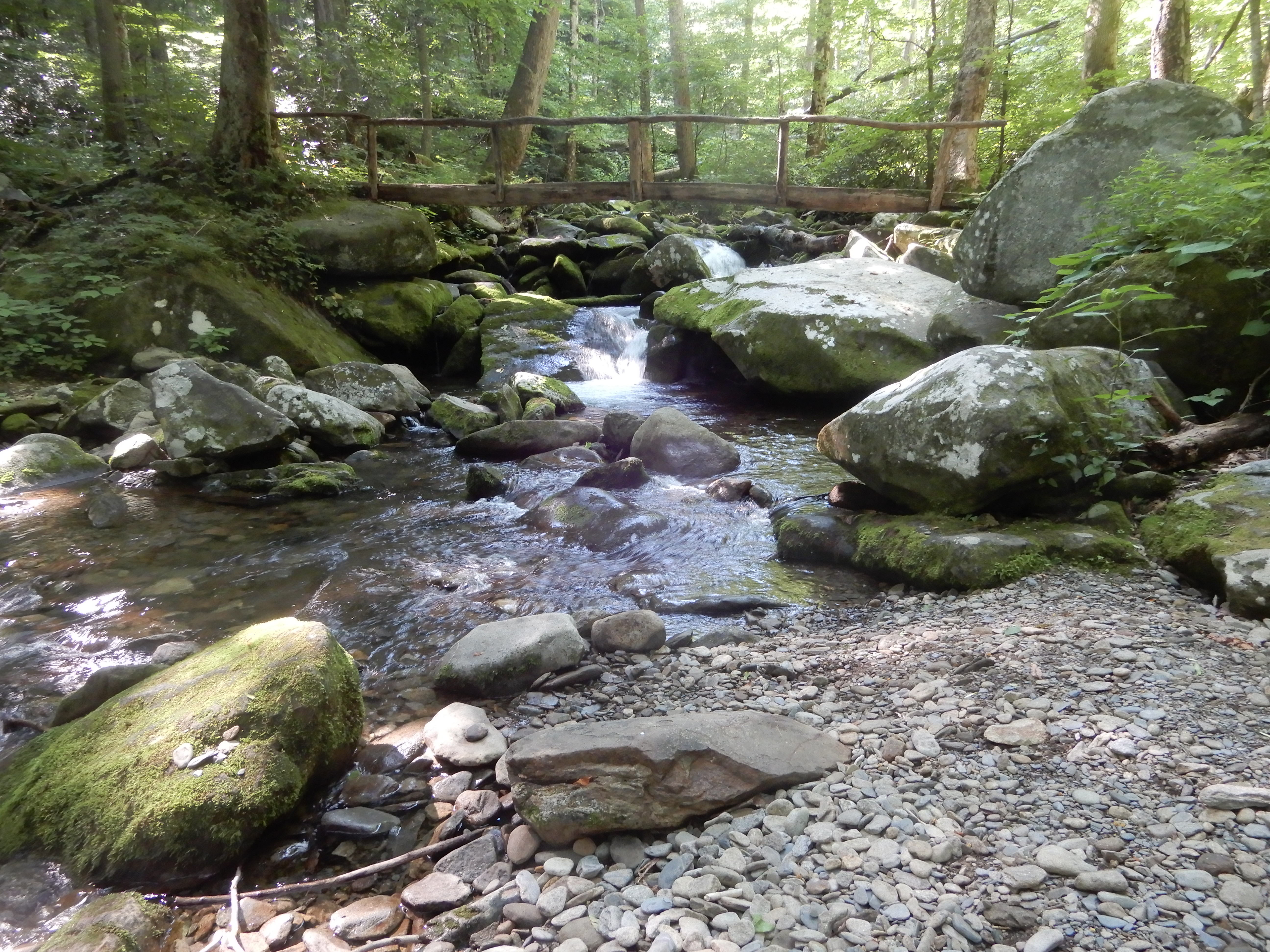
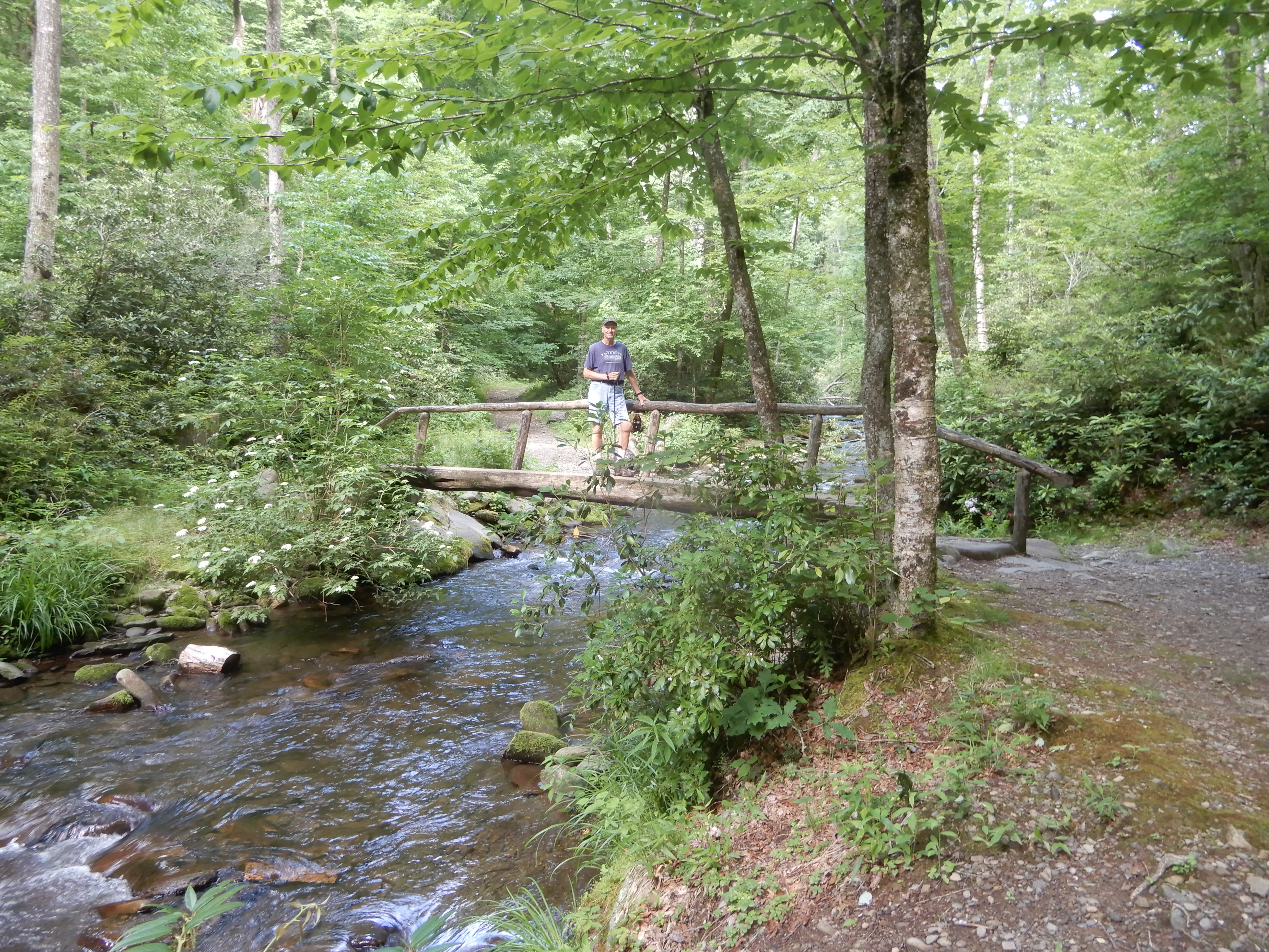
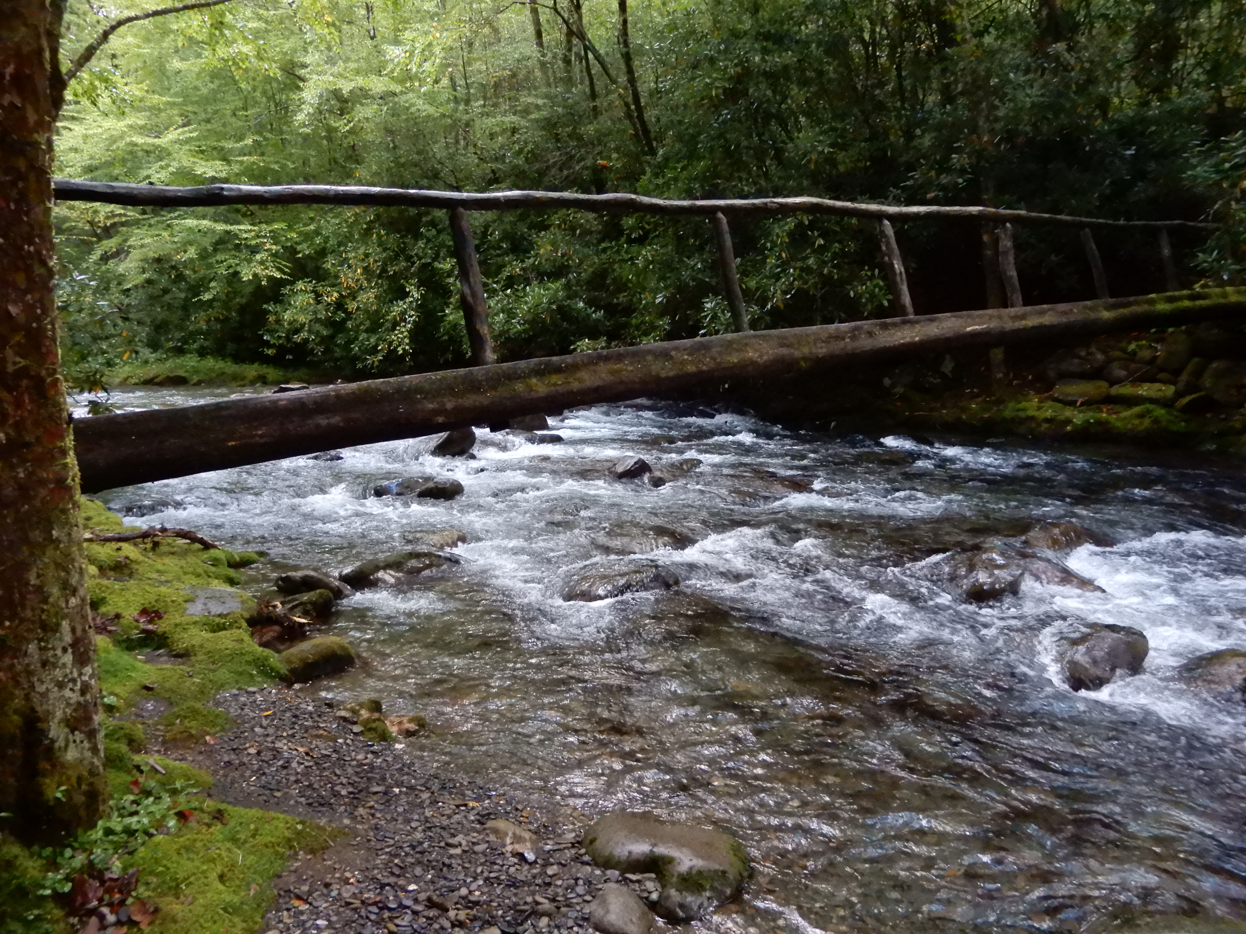
More log bridges, although none as challenging as the one I had found at Smokemont Campground.
As you can tell in this photo, we were on a multi-use trail. A log bridge for hikers, a ford for horses.
This log bridge was impressively long.
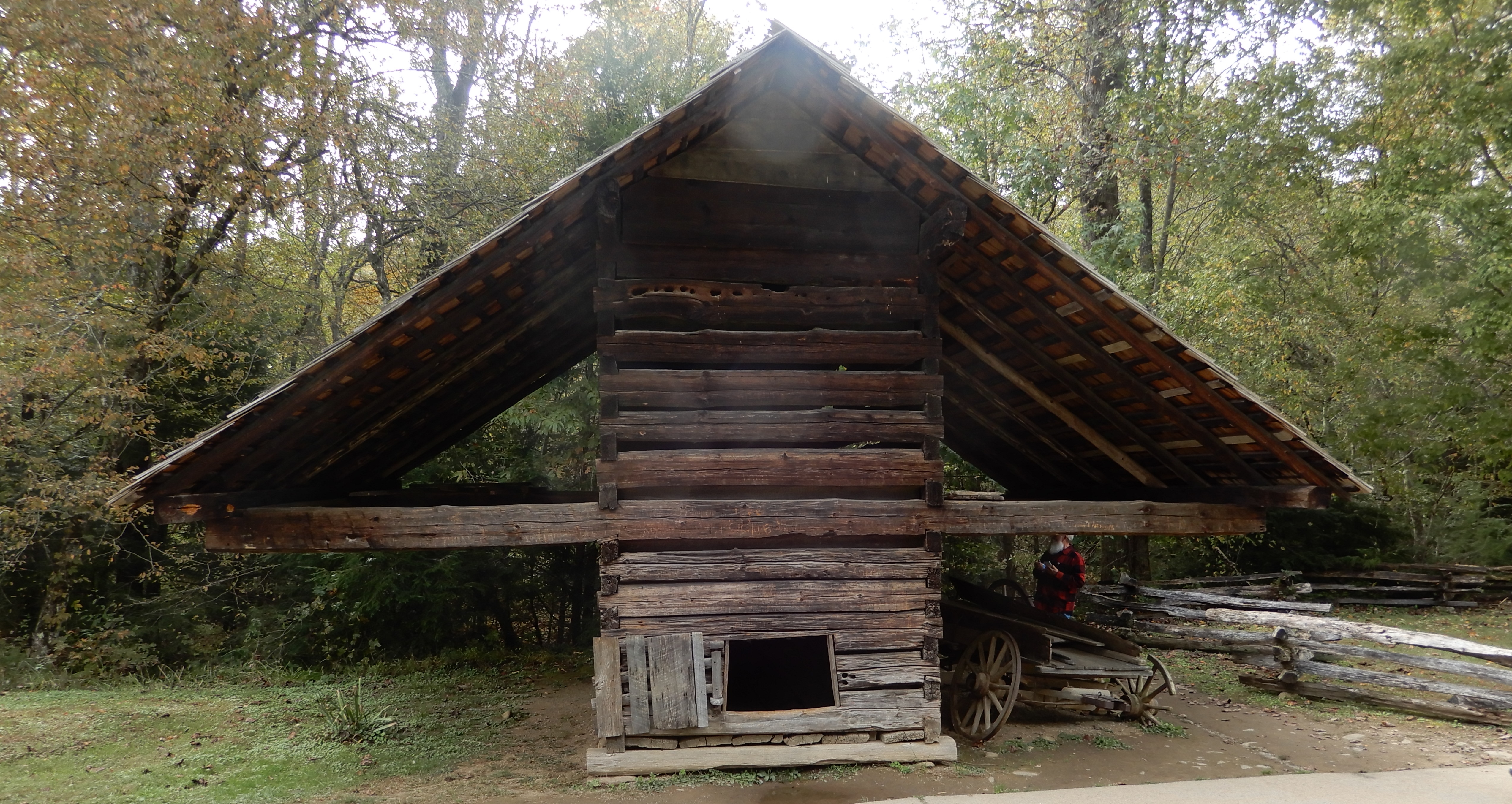
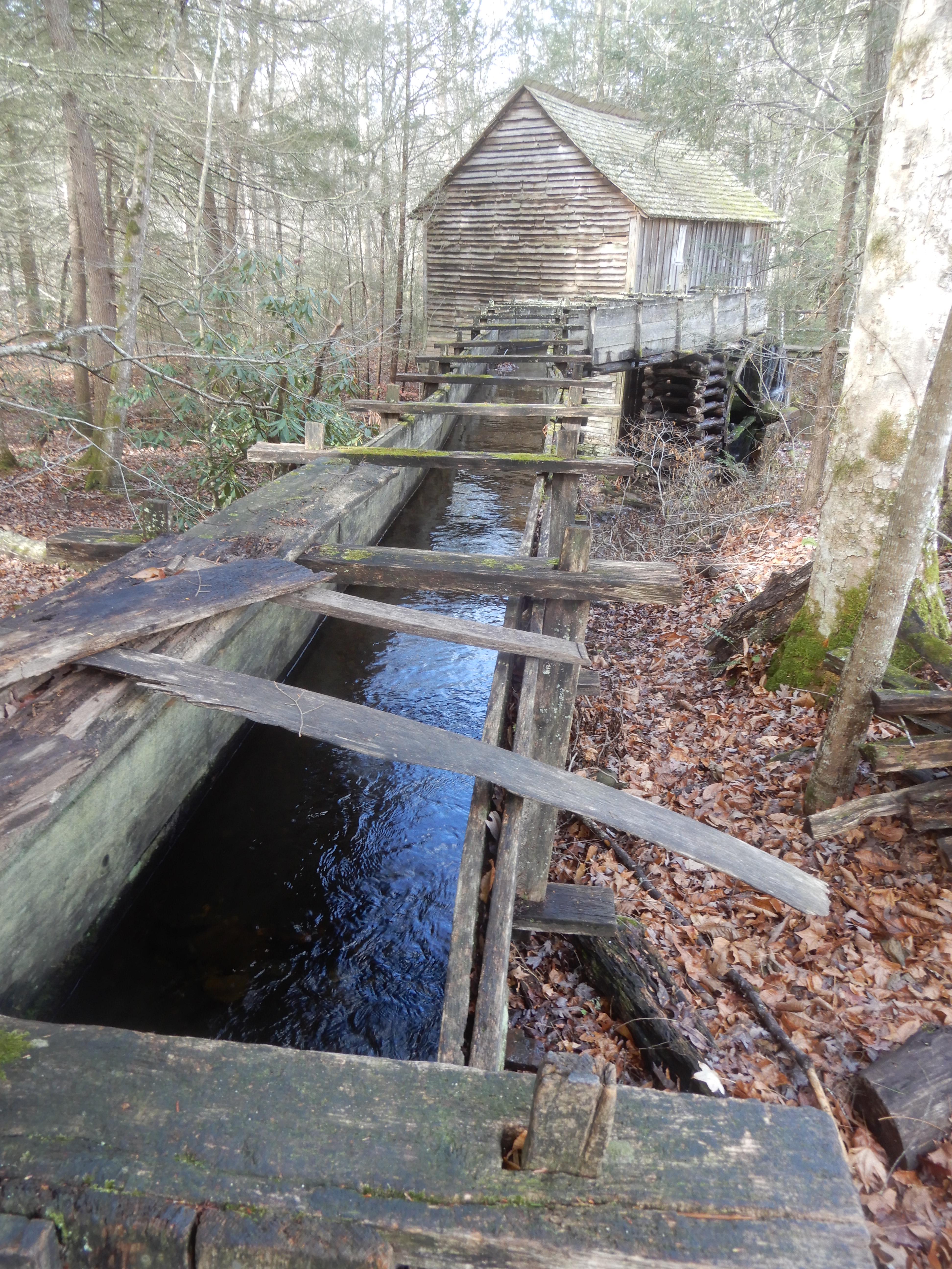
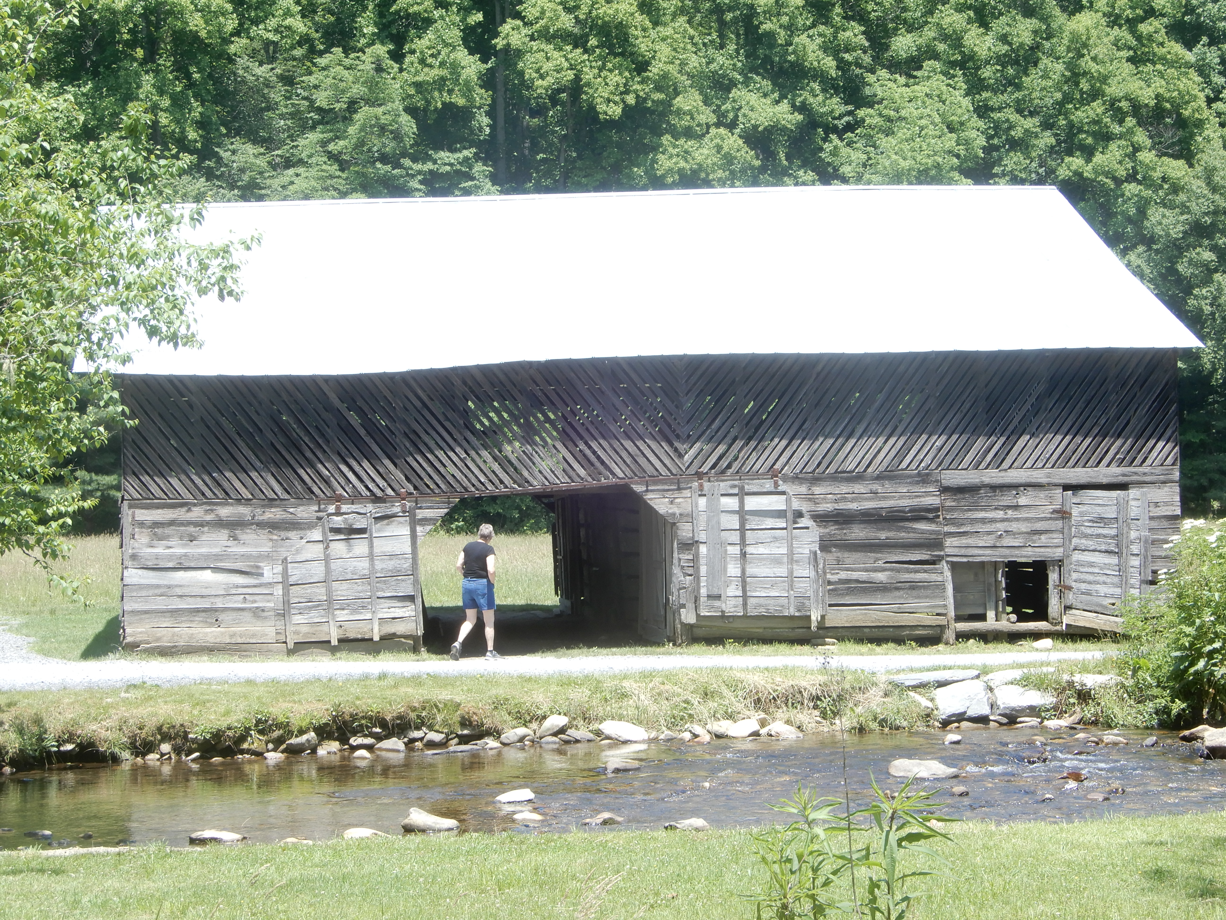
Eventually, we came to the structures.
Which were open for inspection.
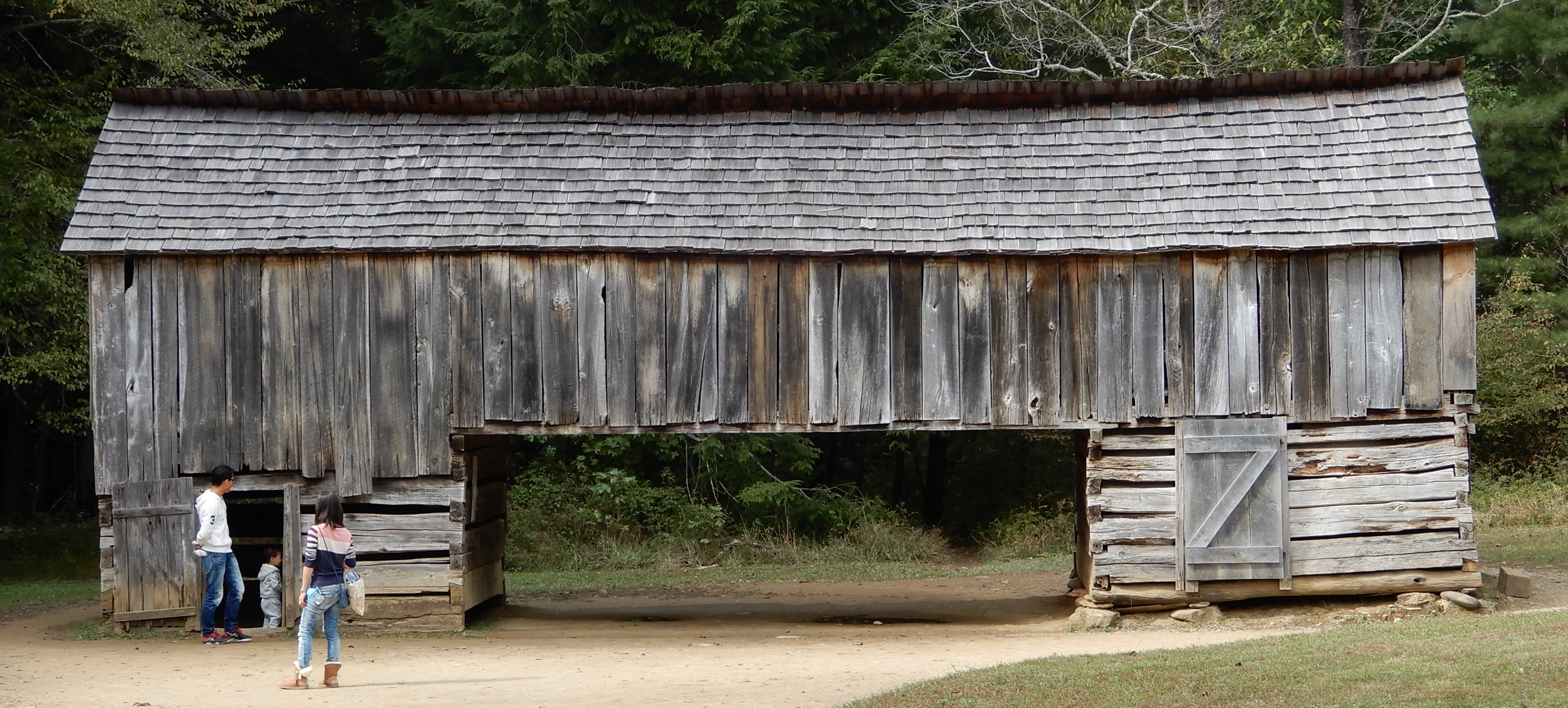
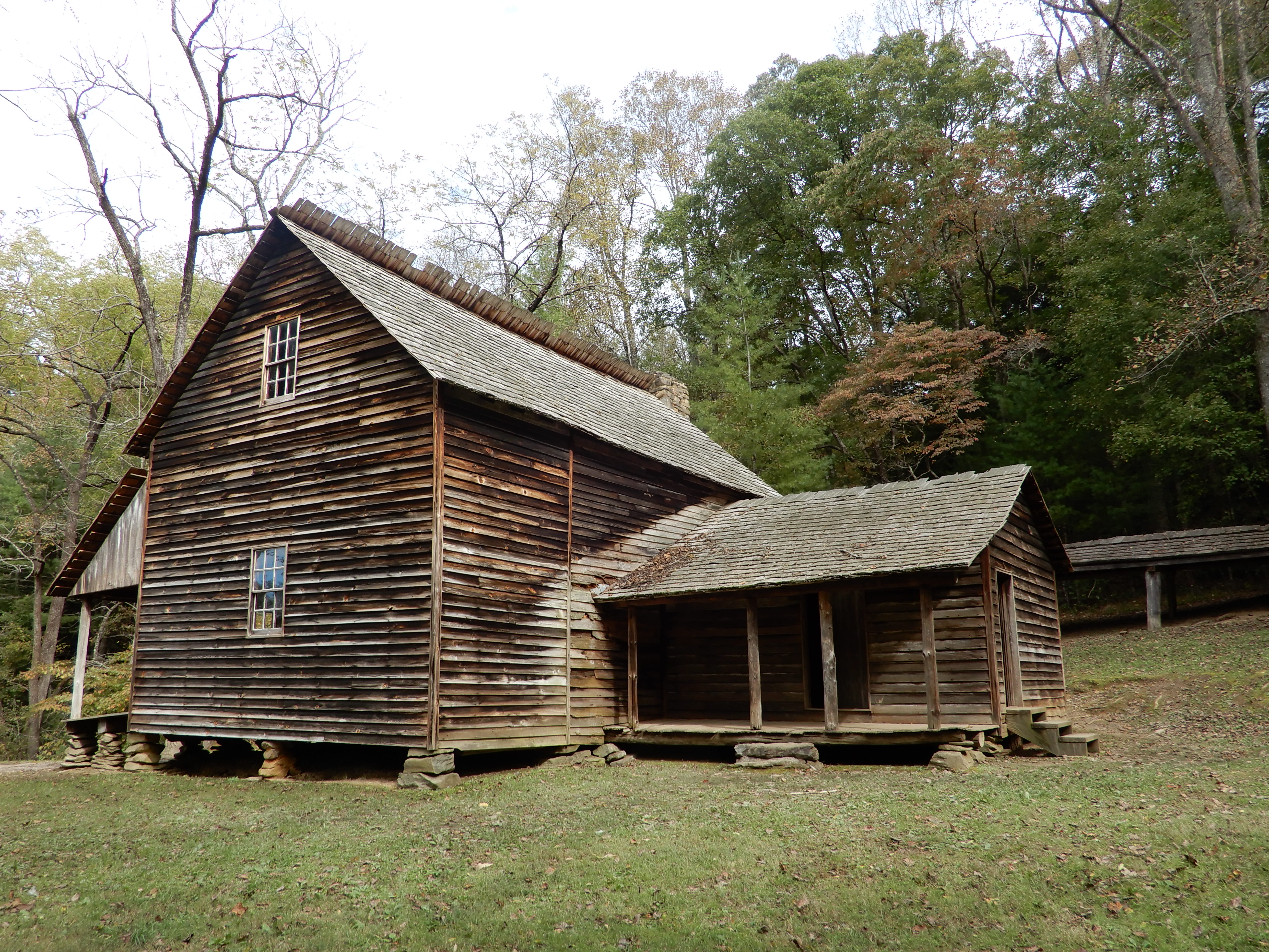
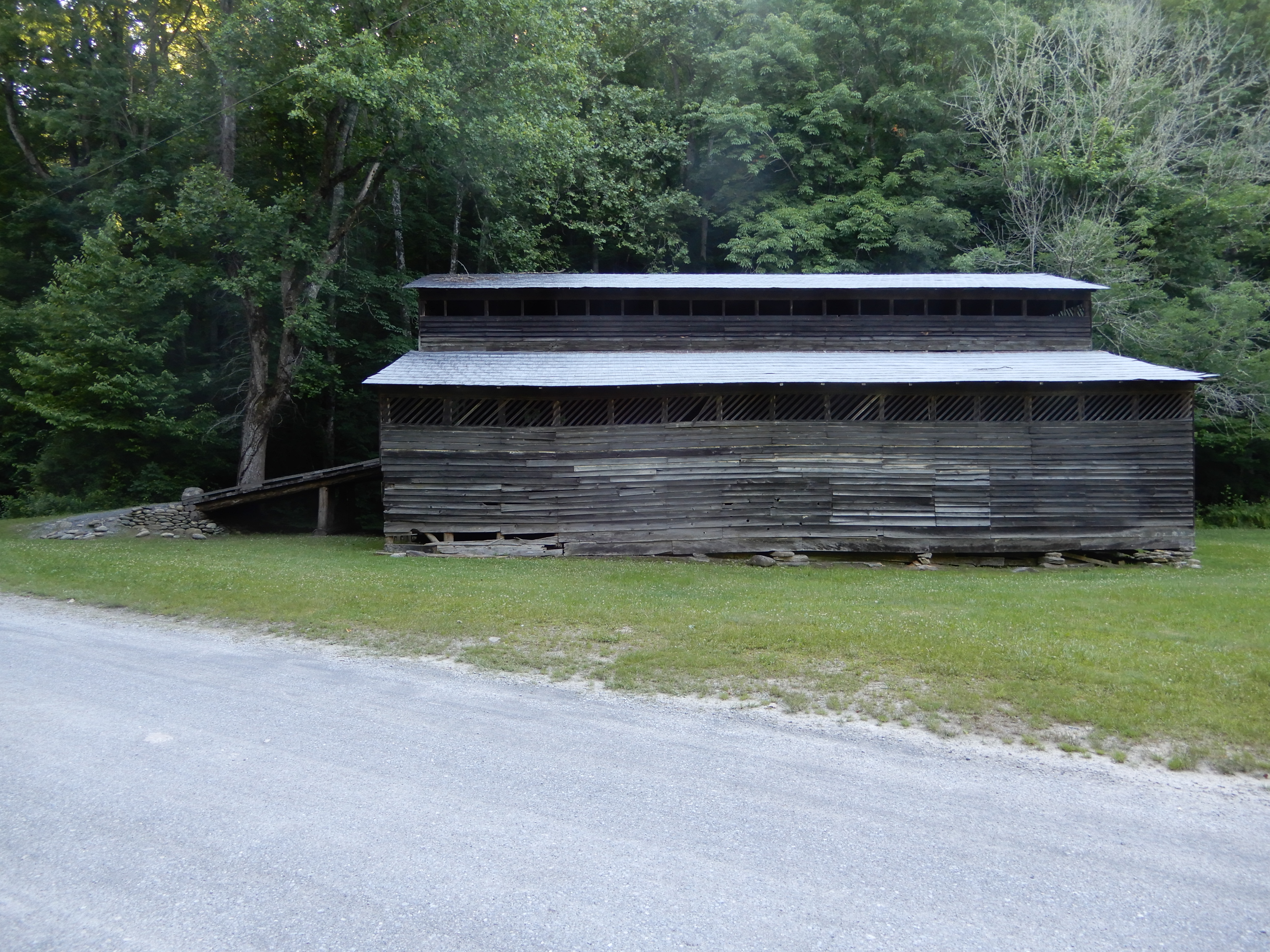
On to other buildings.
Other more distant old buildings we drove to see.
After 2 nights, we were ready to move on. There is a road in Chataloochie heading north through the park, the Old Chataloochie Turnpike, although to call it a turnpike is a major misnomer. I took this years ago the first time we visited Chataloochie. It was a narrow twisting washed-out gravel road, which most of the time had no gravel and seriously canted to downhill. It was a beautiful drive, which should be restricted to 4-wheel drives. I was in a sedan that time, and it was rough going. I certainly wasn’t about to try it in the motor home. Well, I was willing to try it, but my wife put her foot down. She well-remembered that road. So we went out the same way we went in. Which also was a lot of fun.
NEXT LOCATION: Cosby Campground, Smoky Mountains National Park, Tennessee
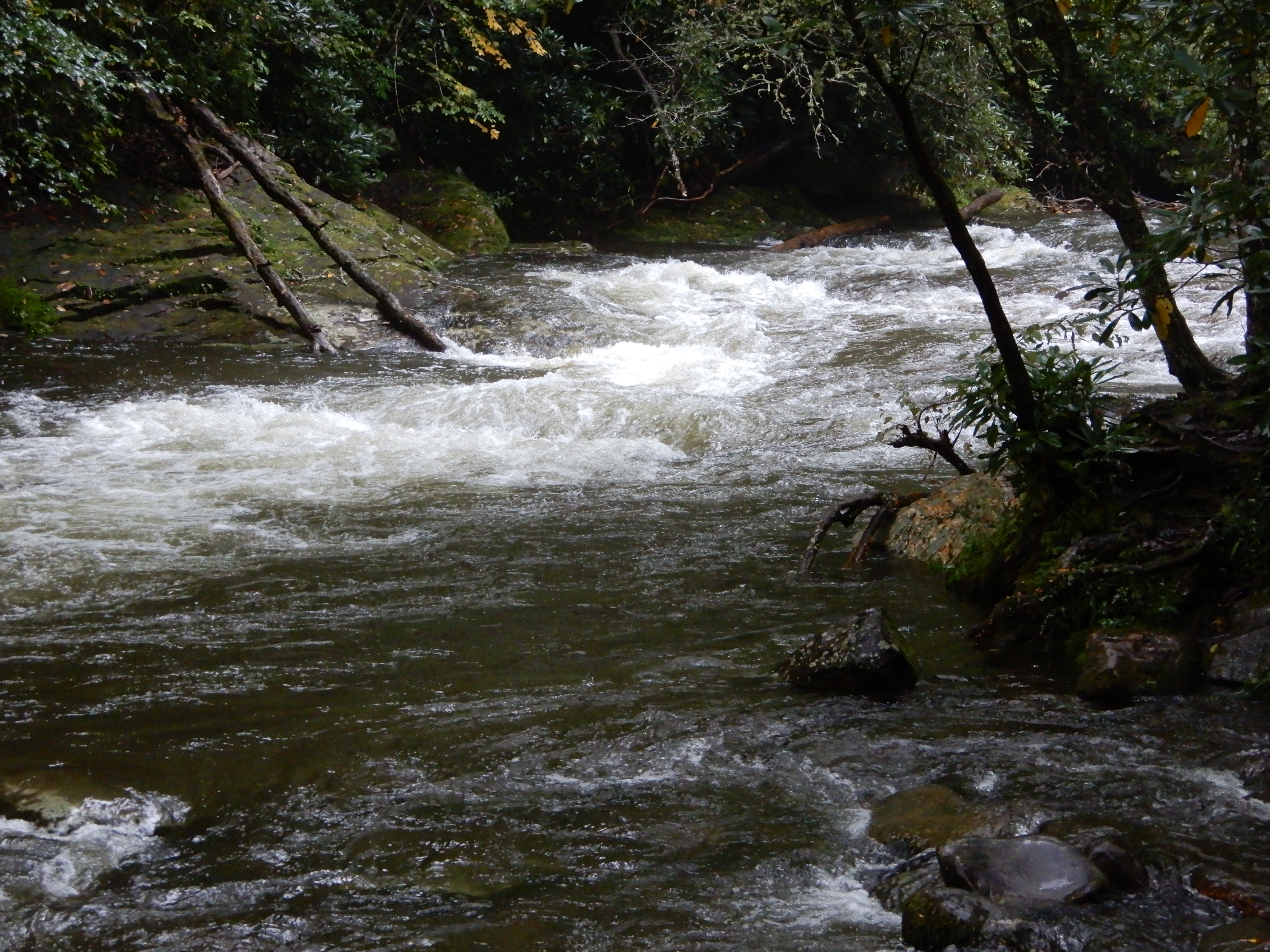
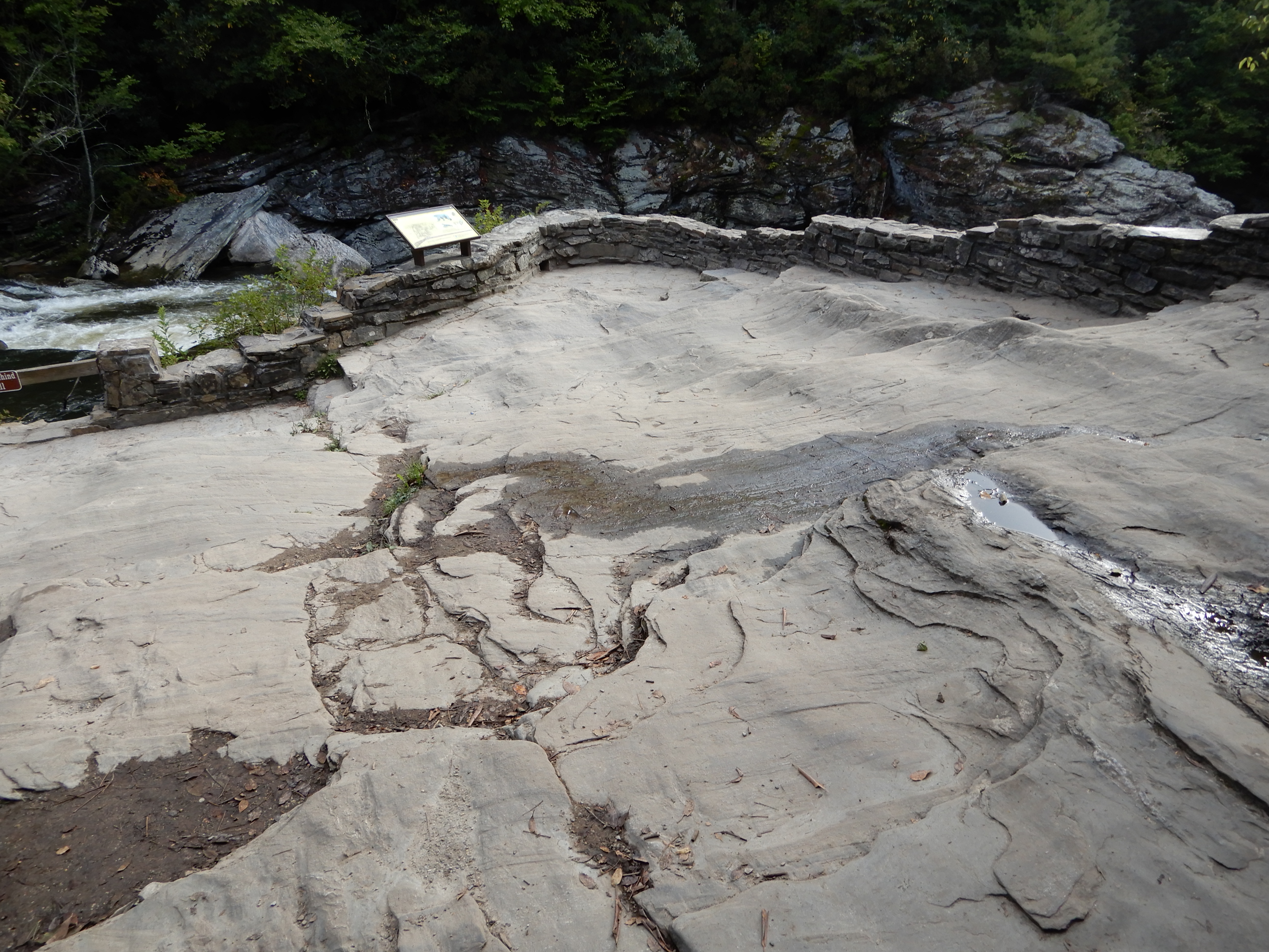
Our second day camping at Smokemont was just as rainy and dreary as the day before. But I was determined not to sit in the motor home all day. So I went on another hike, this one much shorter than the one I attempted the day before. Even more than before, the river was raging.
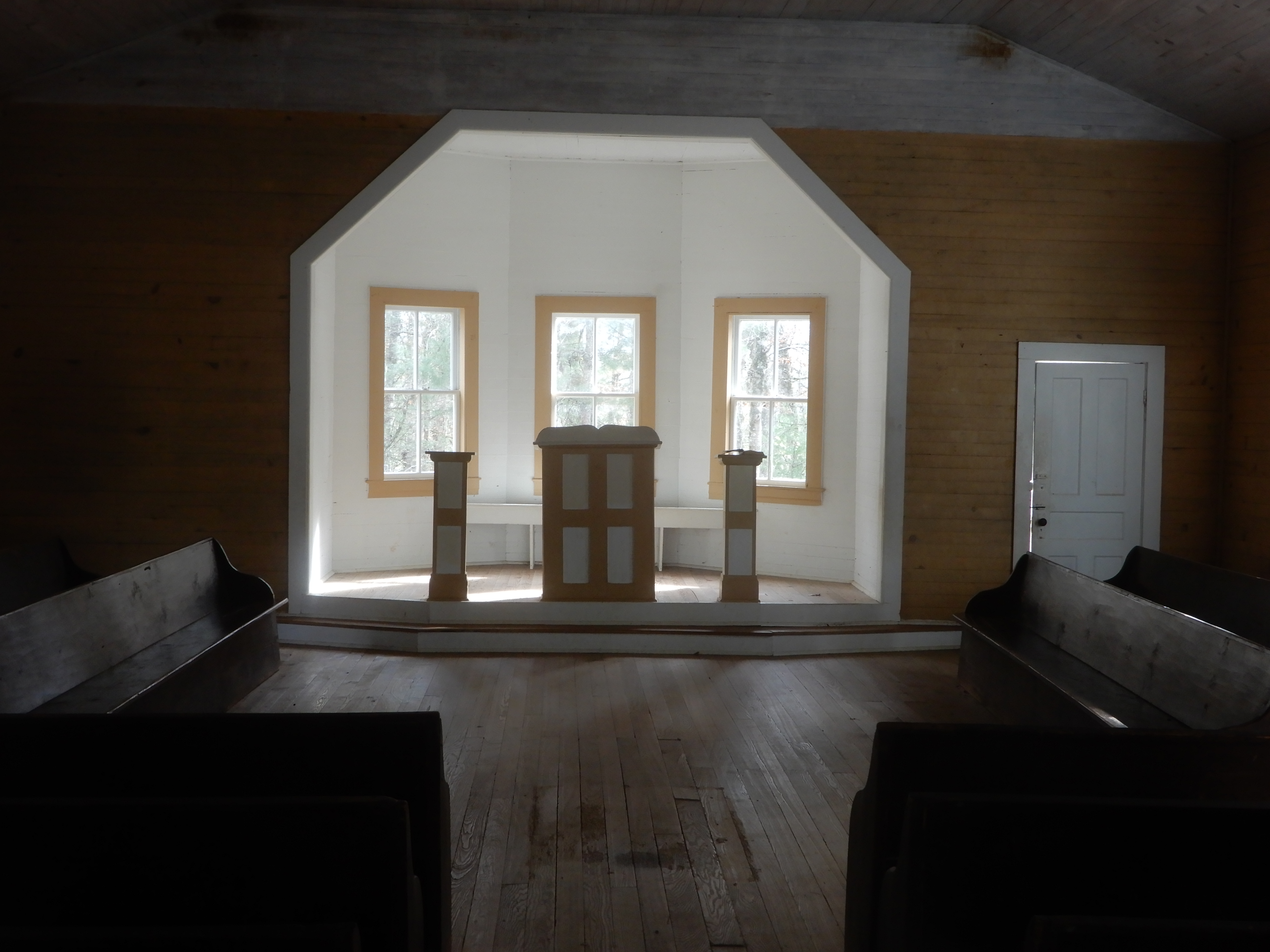
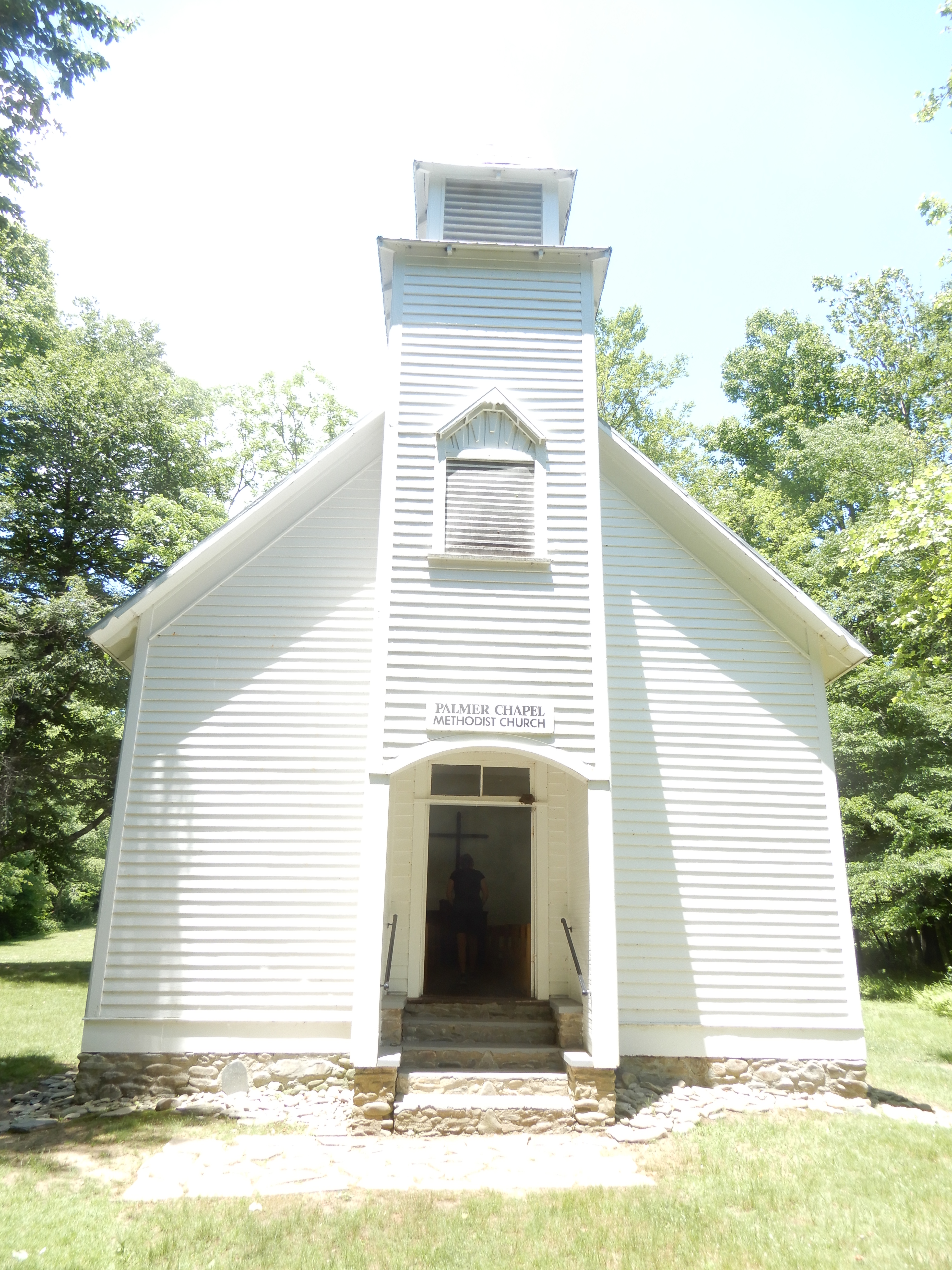
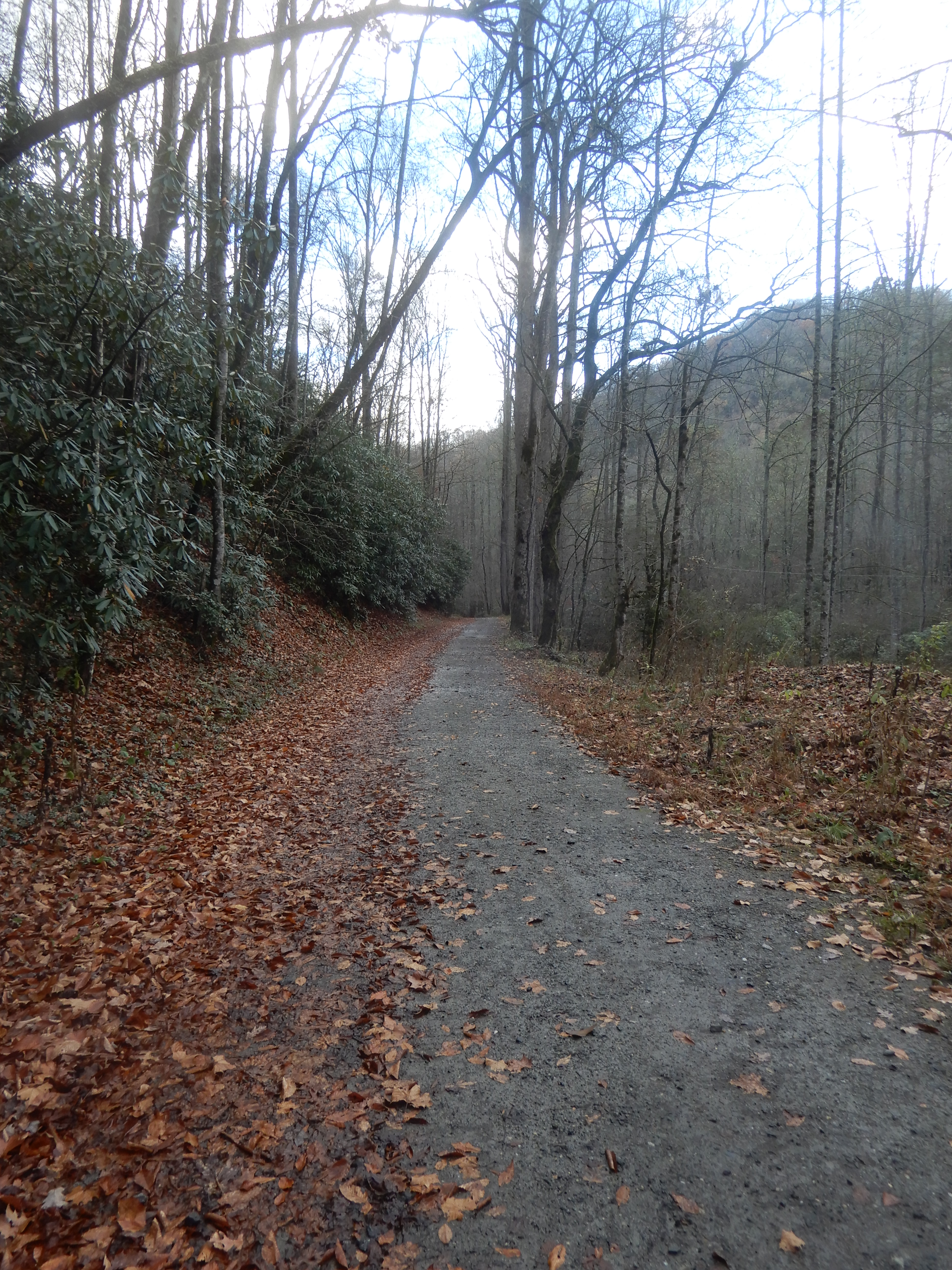
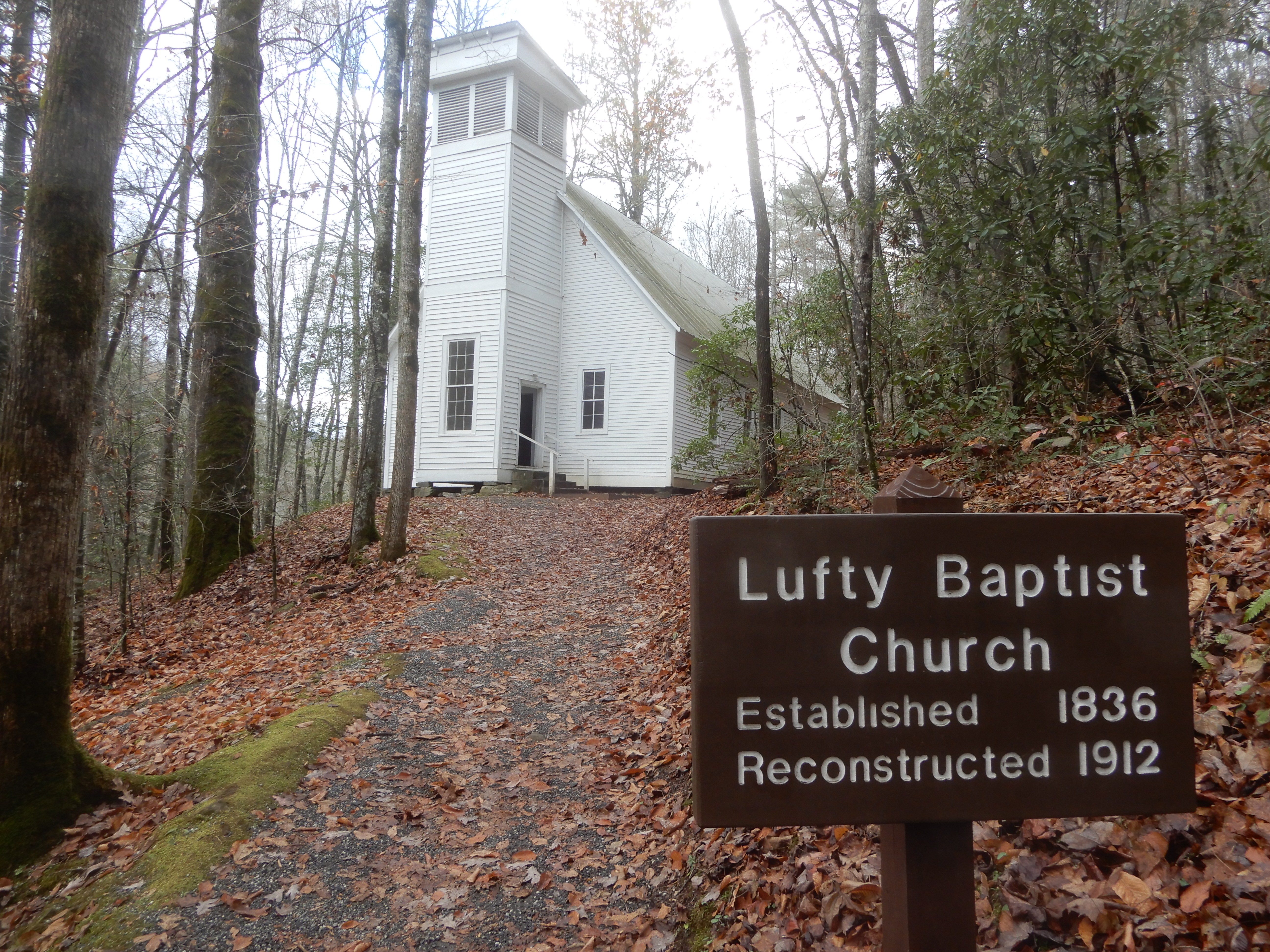
I followed another horse trail.
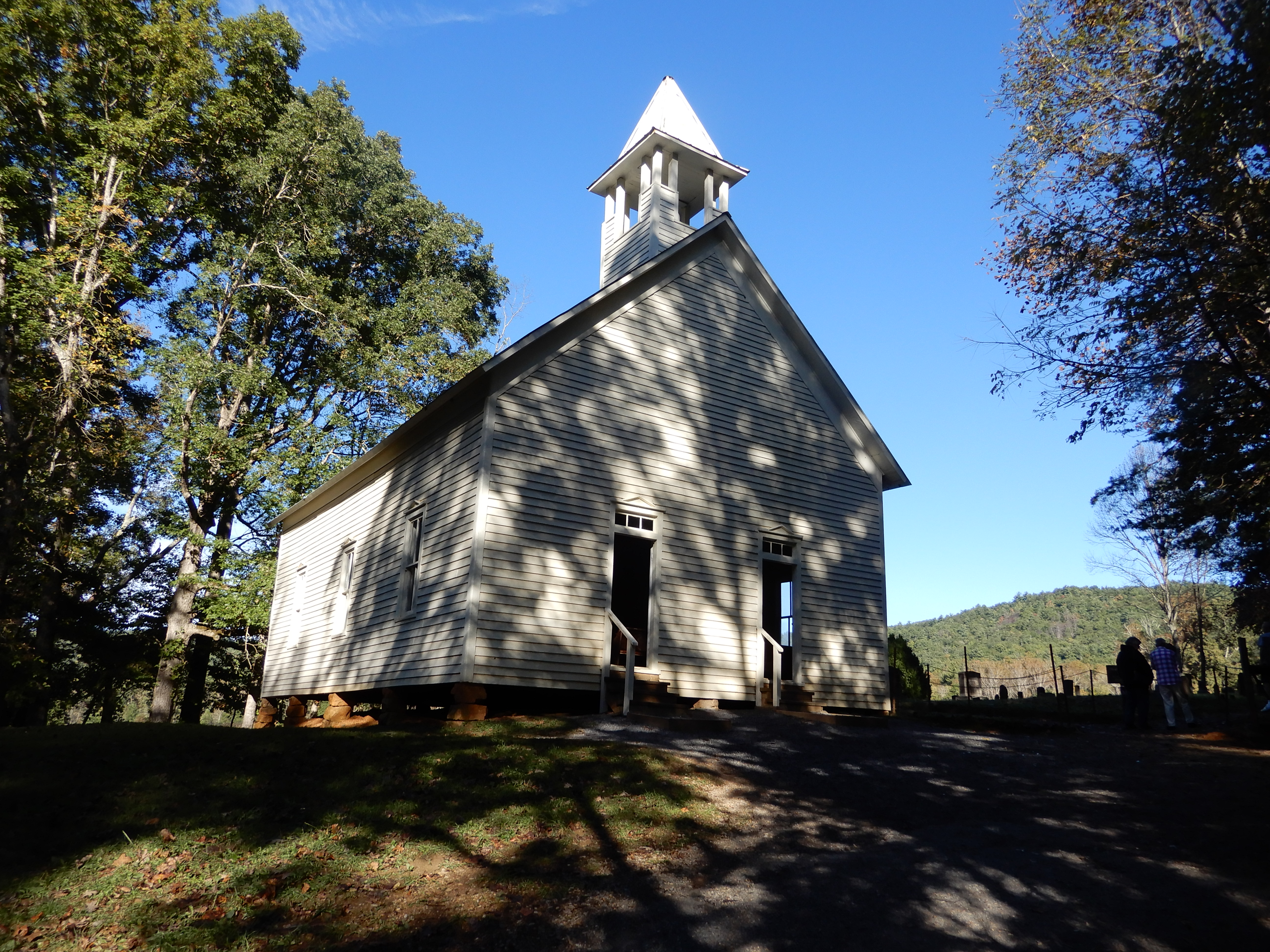
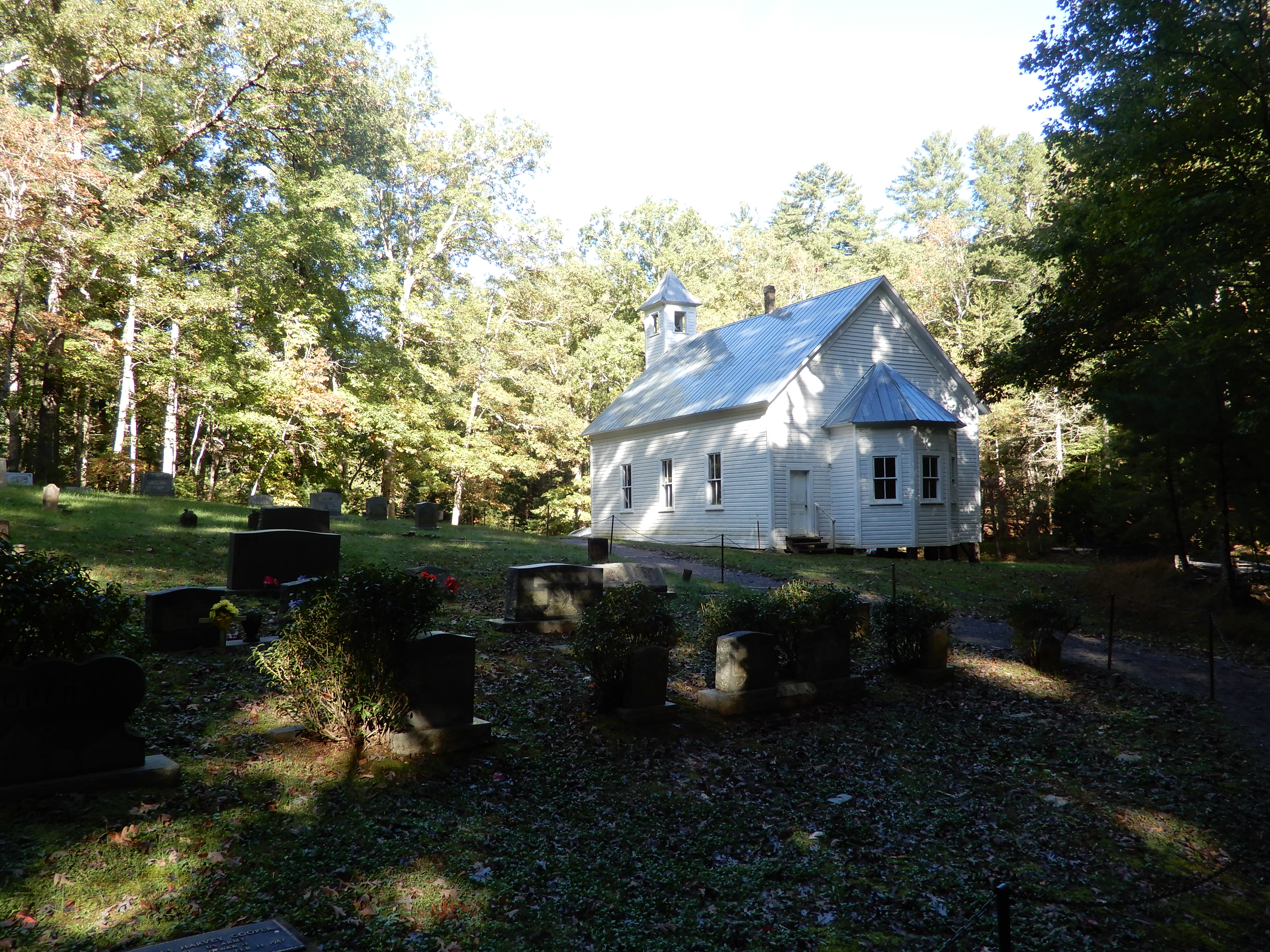
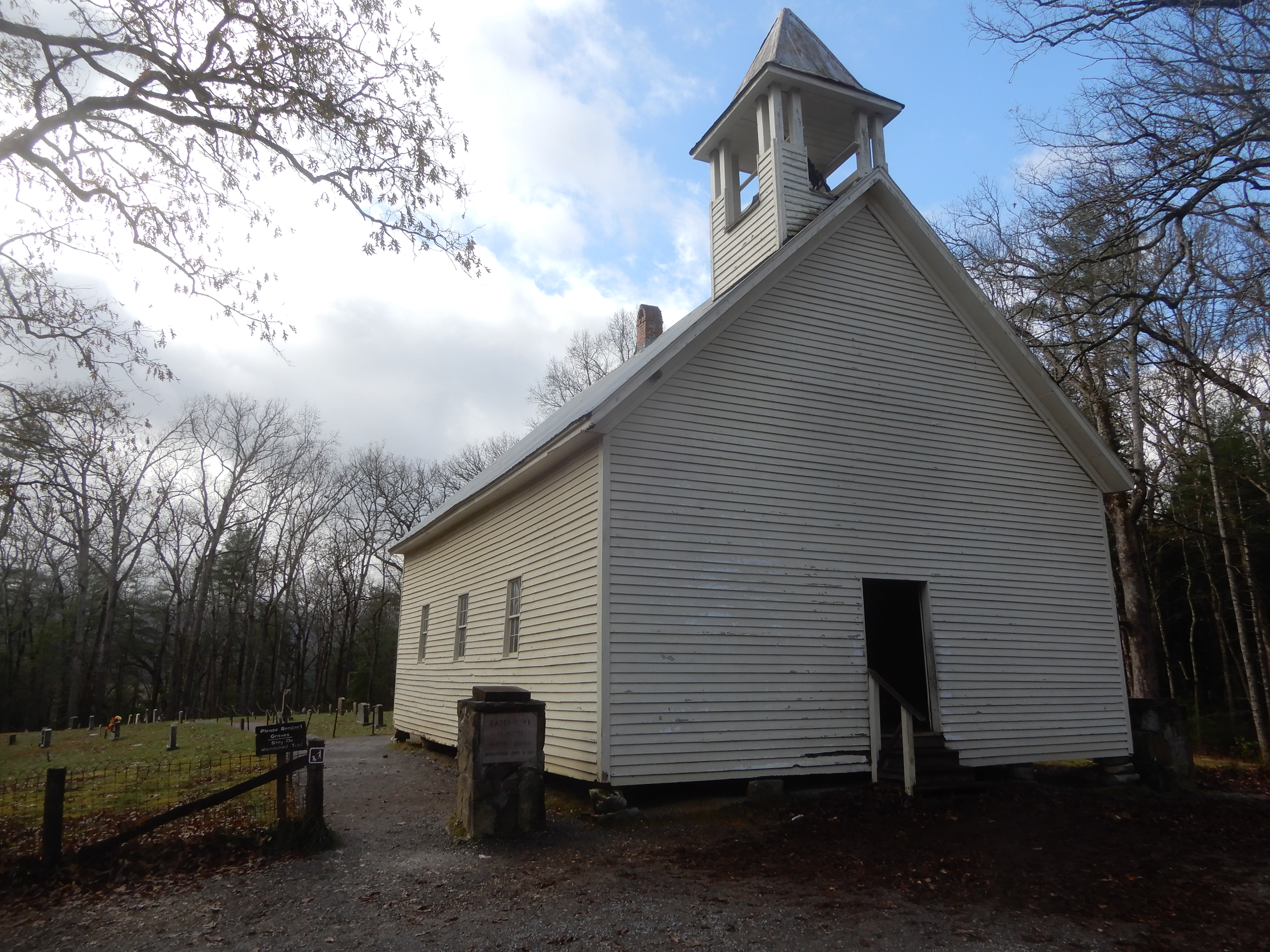
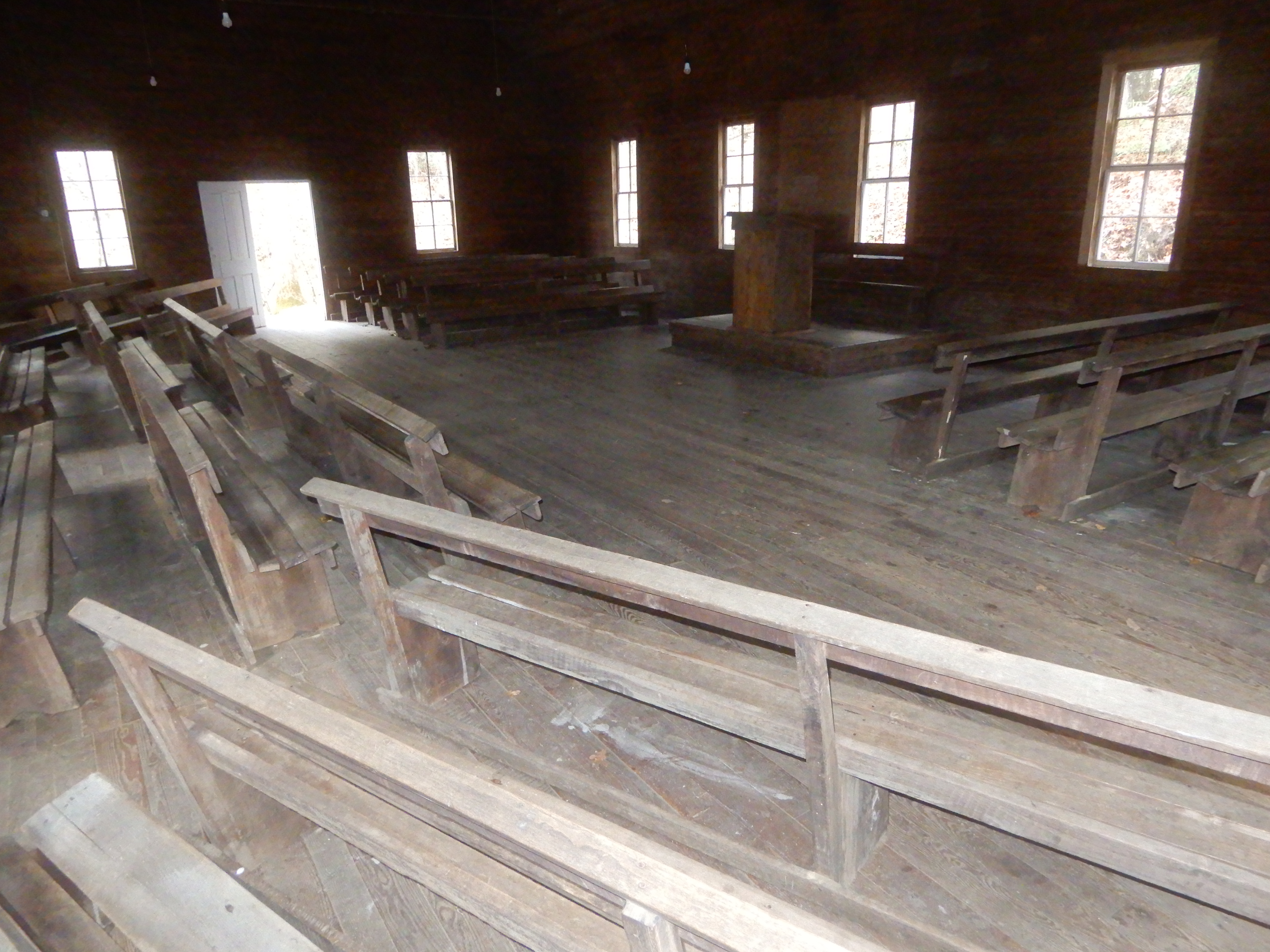
It led to an old church.
That was open for inspection.
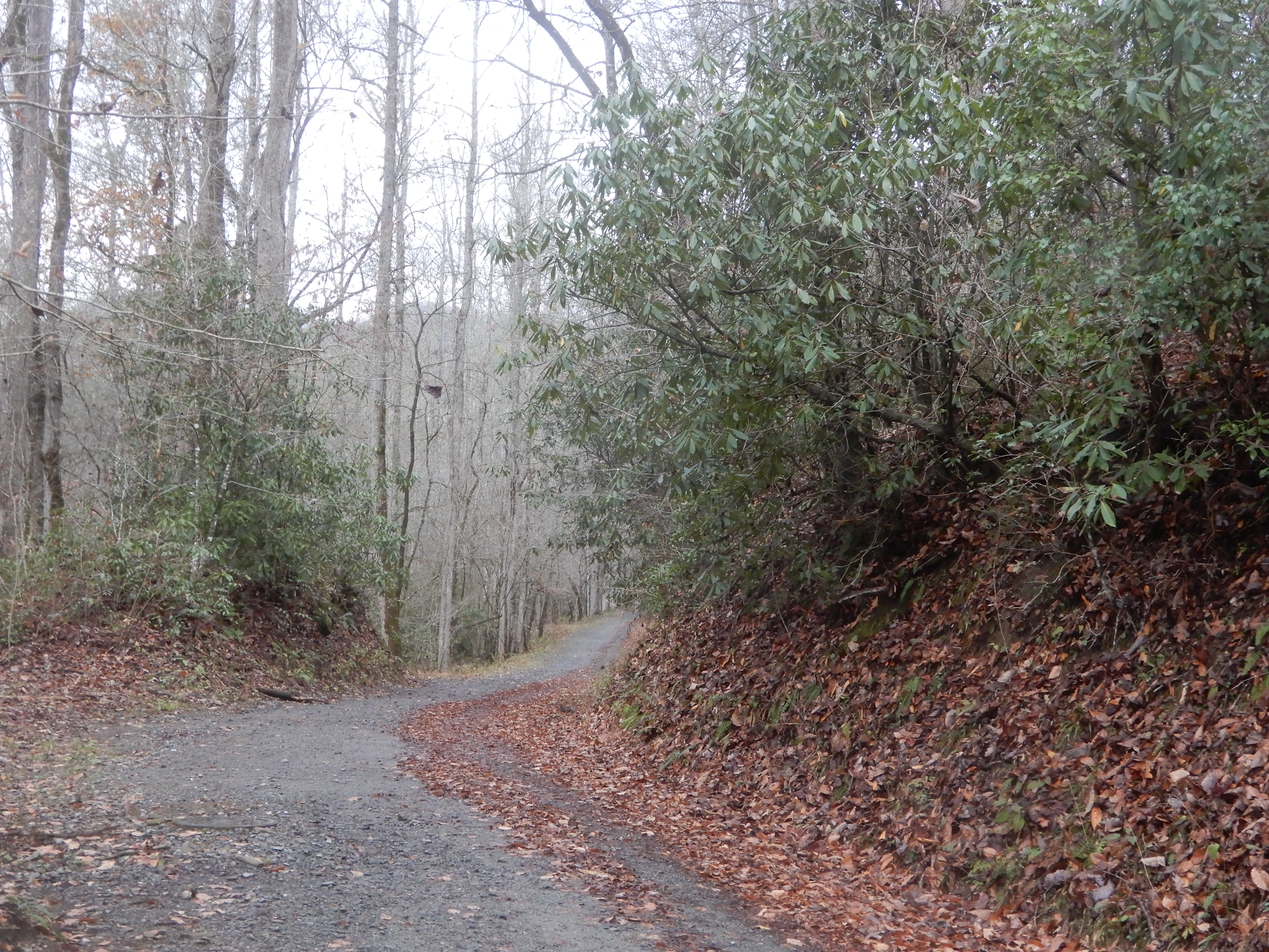
Then it was on down the horse trail.
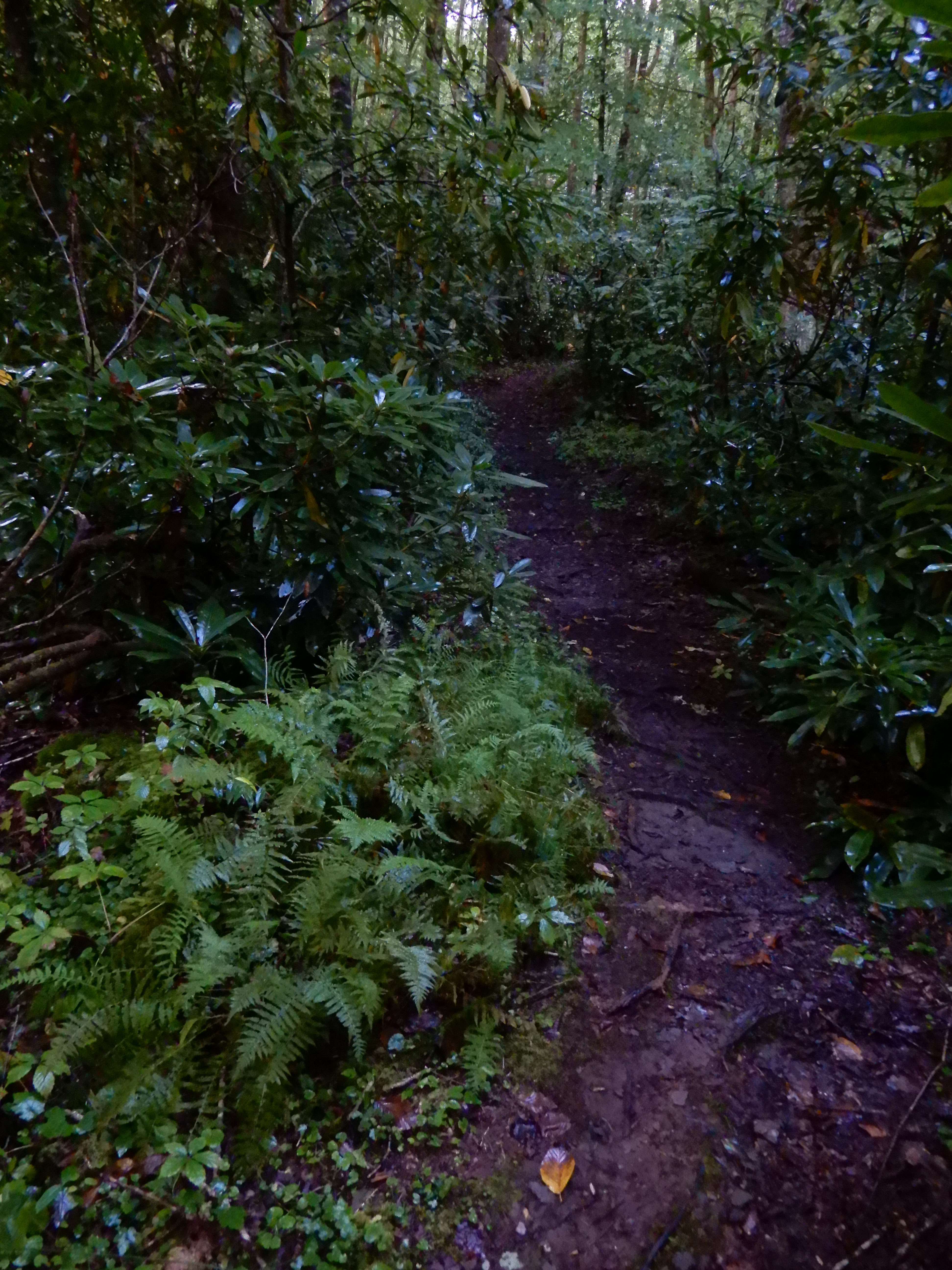
Which led to a muddy hiking trail.
Which led back to the raging river.
I followed it for a while.
Then it was back to the campsite to scrape all the mud off my shoes and surrender to the elements for the rest of rainy day.
NEXT LOCATION:Smoky Mountains National Park, Cataloochie Campground, North Carolina
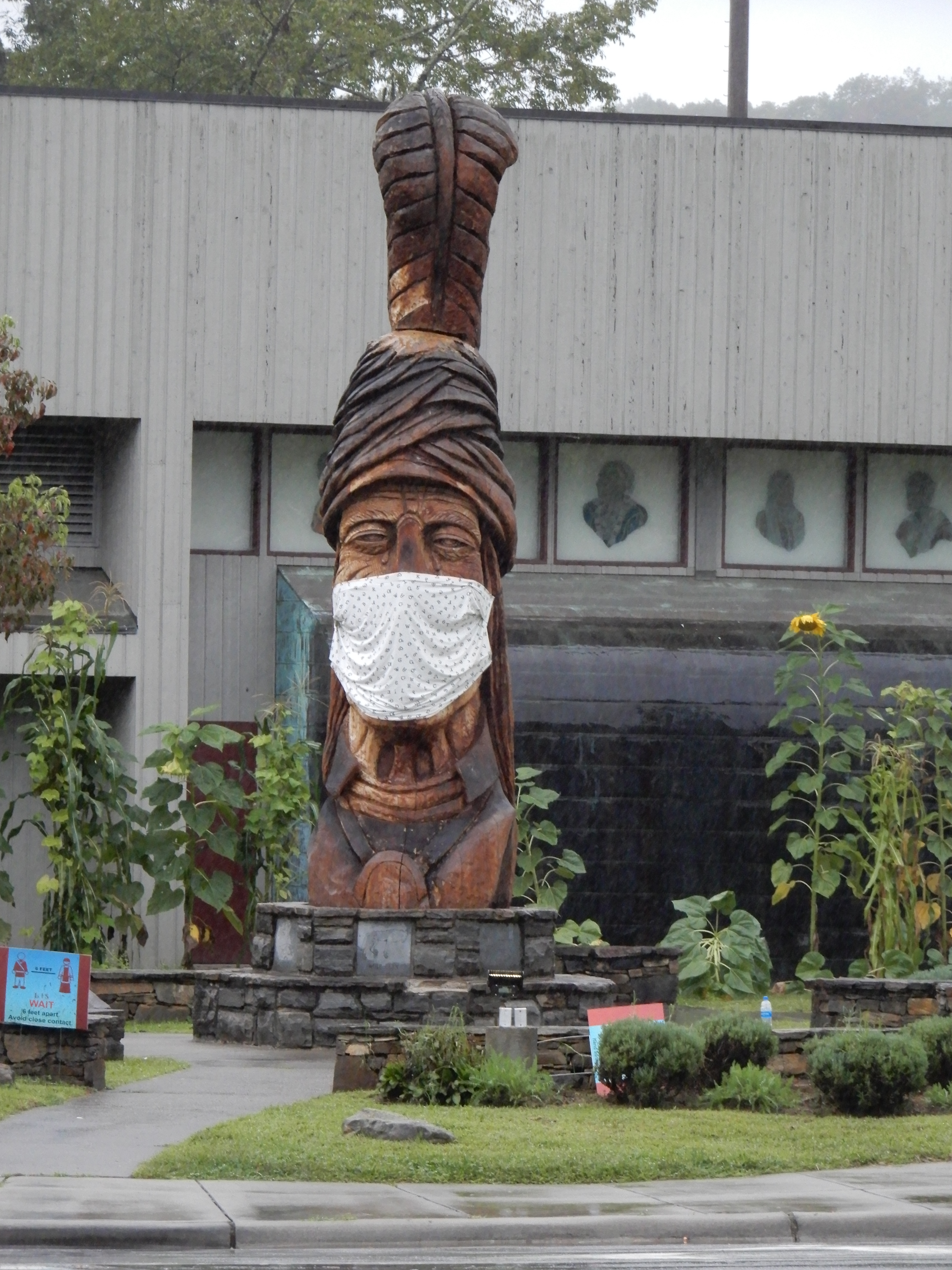
There was a torrential downpour all night long that second night. In the morning the river behind us was raging. We left Grumpy Bear Campground early that morning and drove into Cherokee where there was a good reminder Covid was going on.
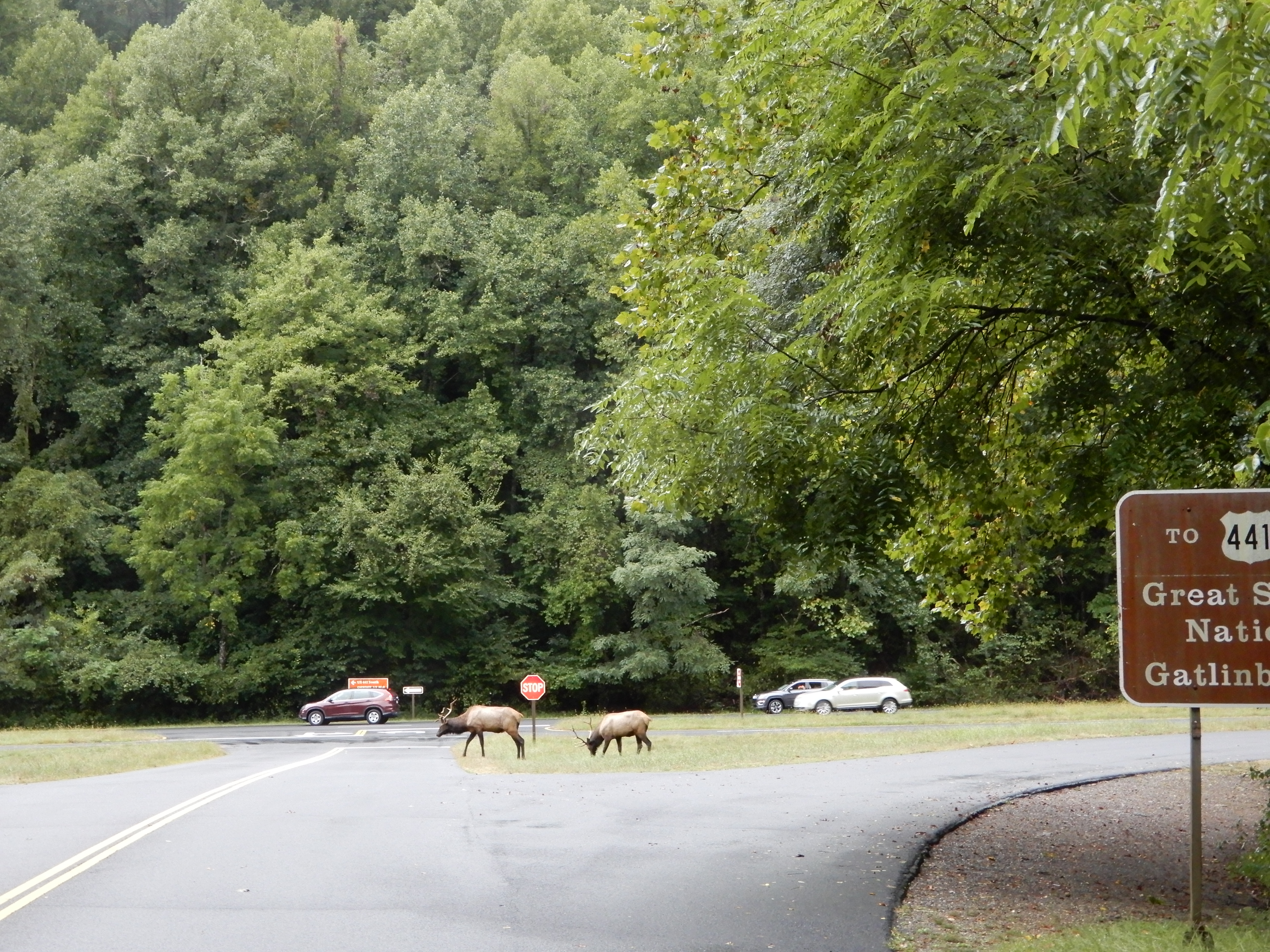
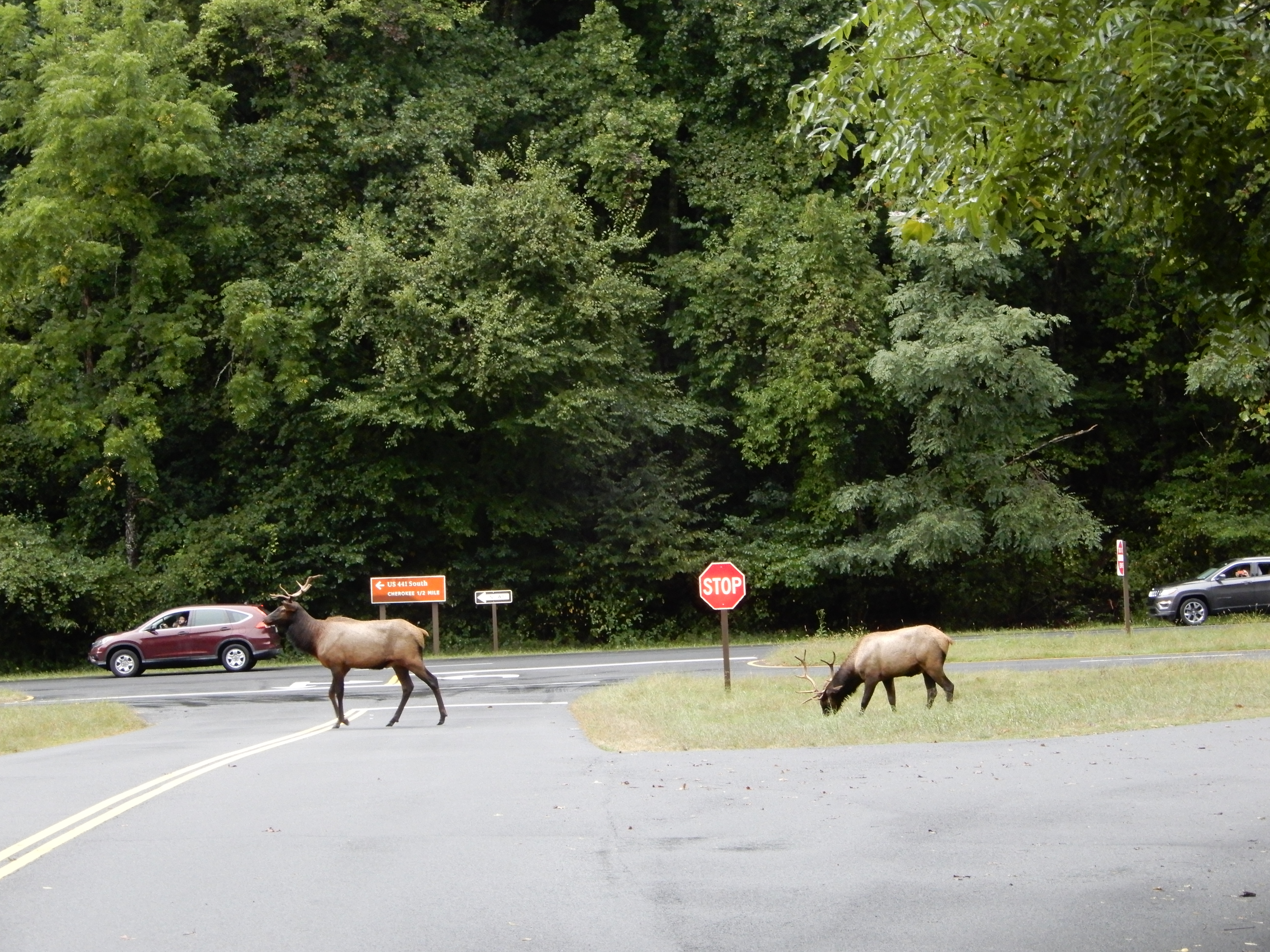
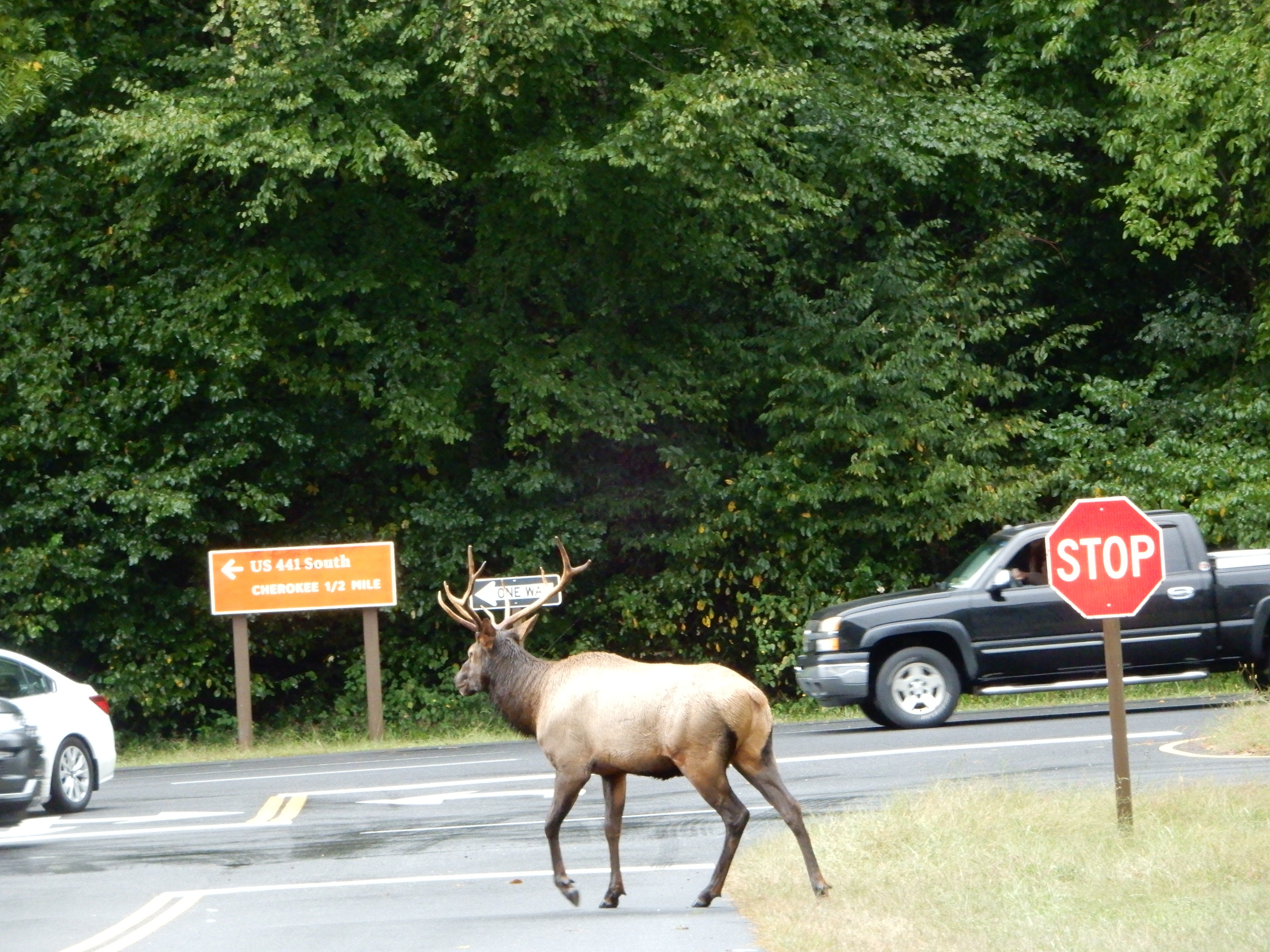
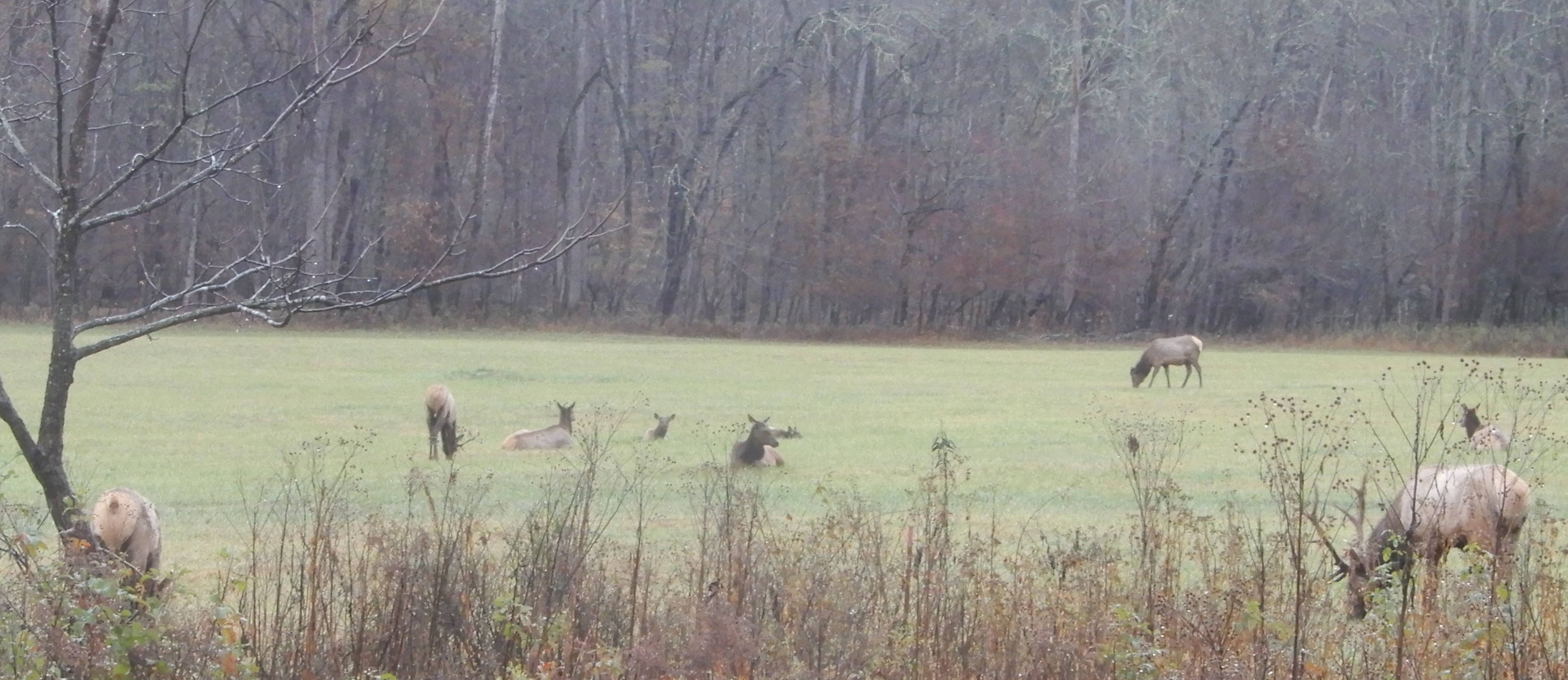
We drove into Smokey Mountains NP and stopped at the visitor center. This time the elk were much nearer the road.
We drove on to Smokemont Campground and got a site. Since it was too early to check in, we drove the Cove Road loop through the Cherokee Reservation. All the creeks were raging.
Returning to Smokemont from Cove Road, we set up in out site and ate lunch. It drizzled rain the entire day.
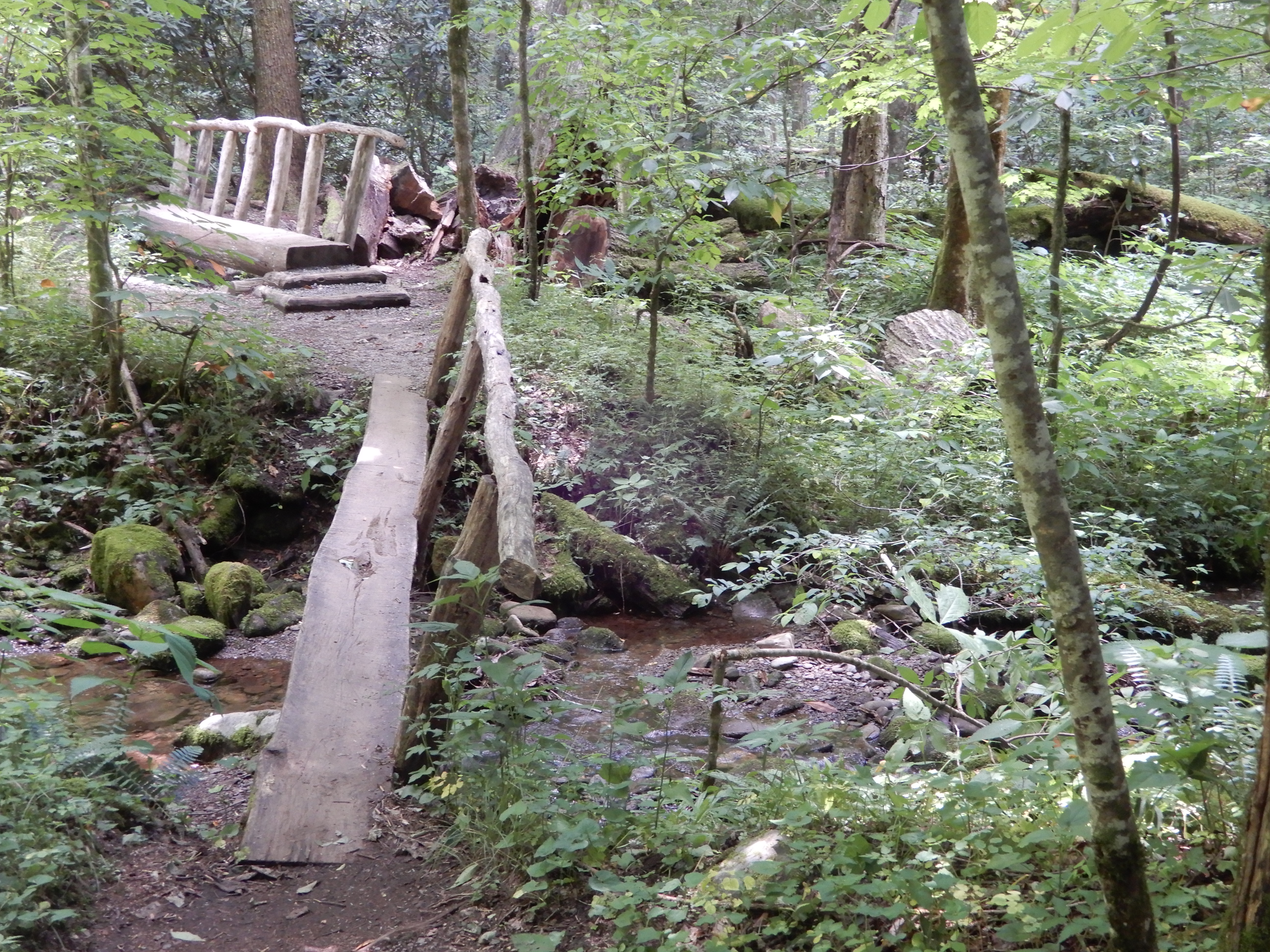
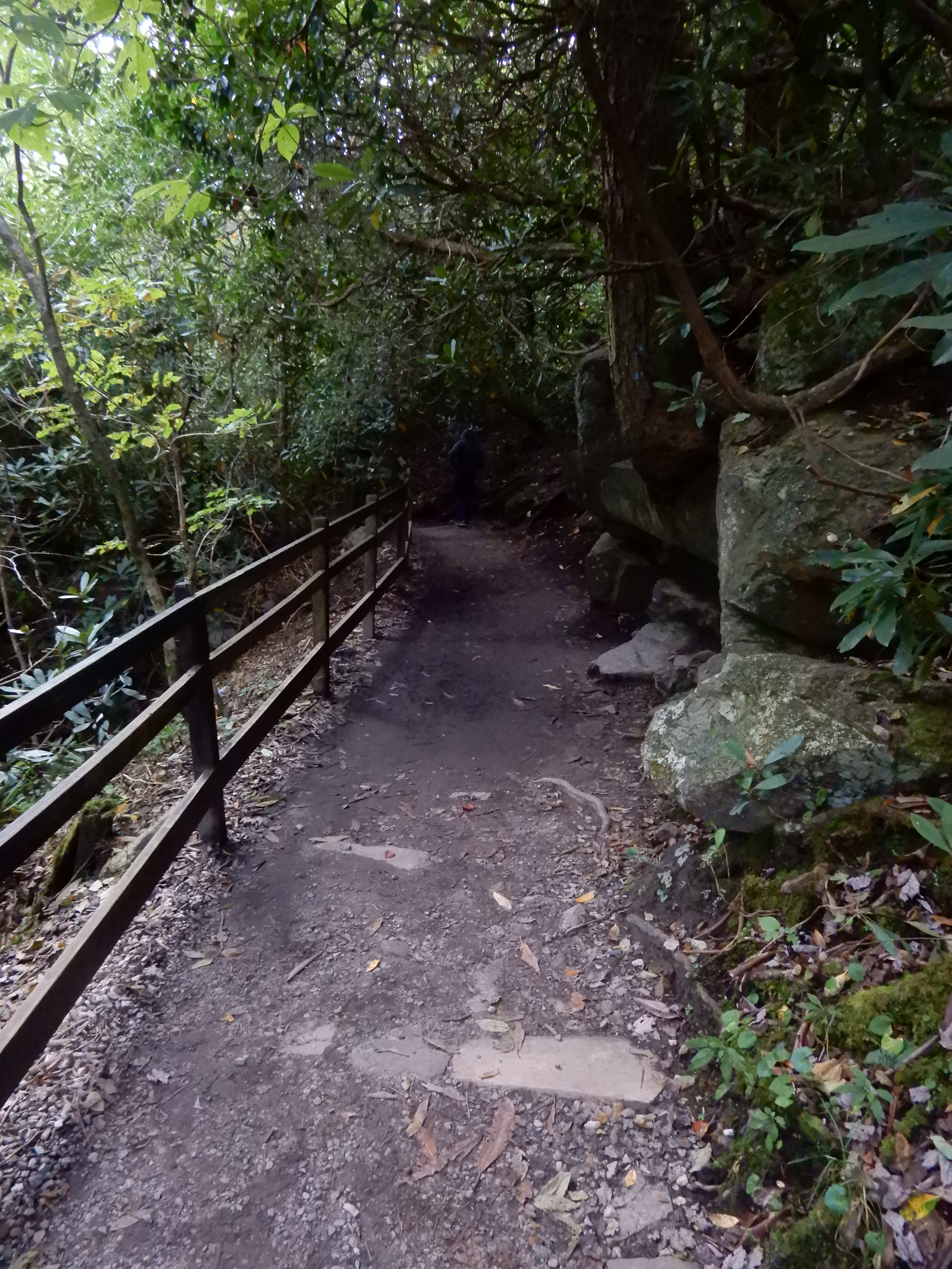
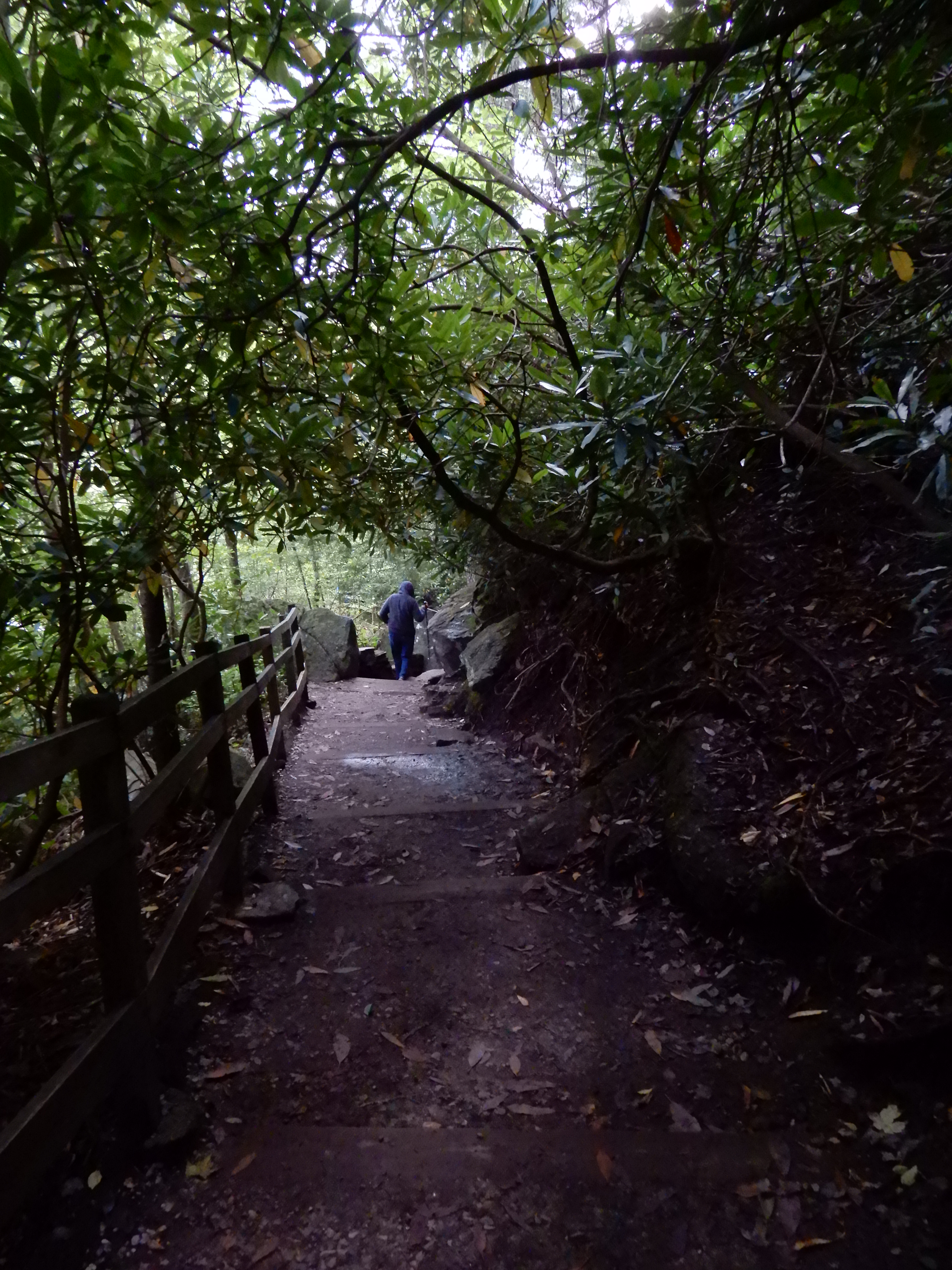
Early that morning I hiked half of the Smokemont Loop Trail. I started out on the horse trail.
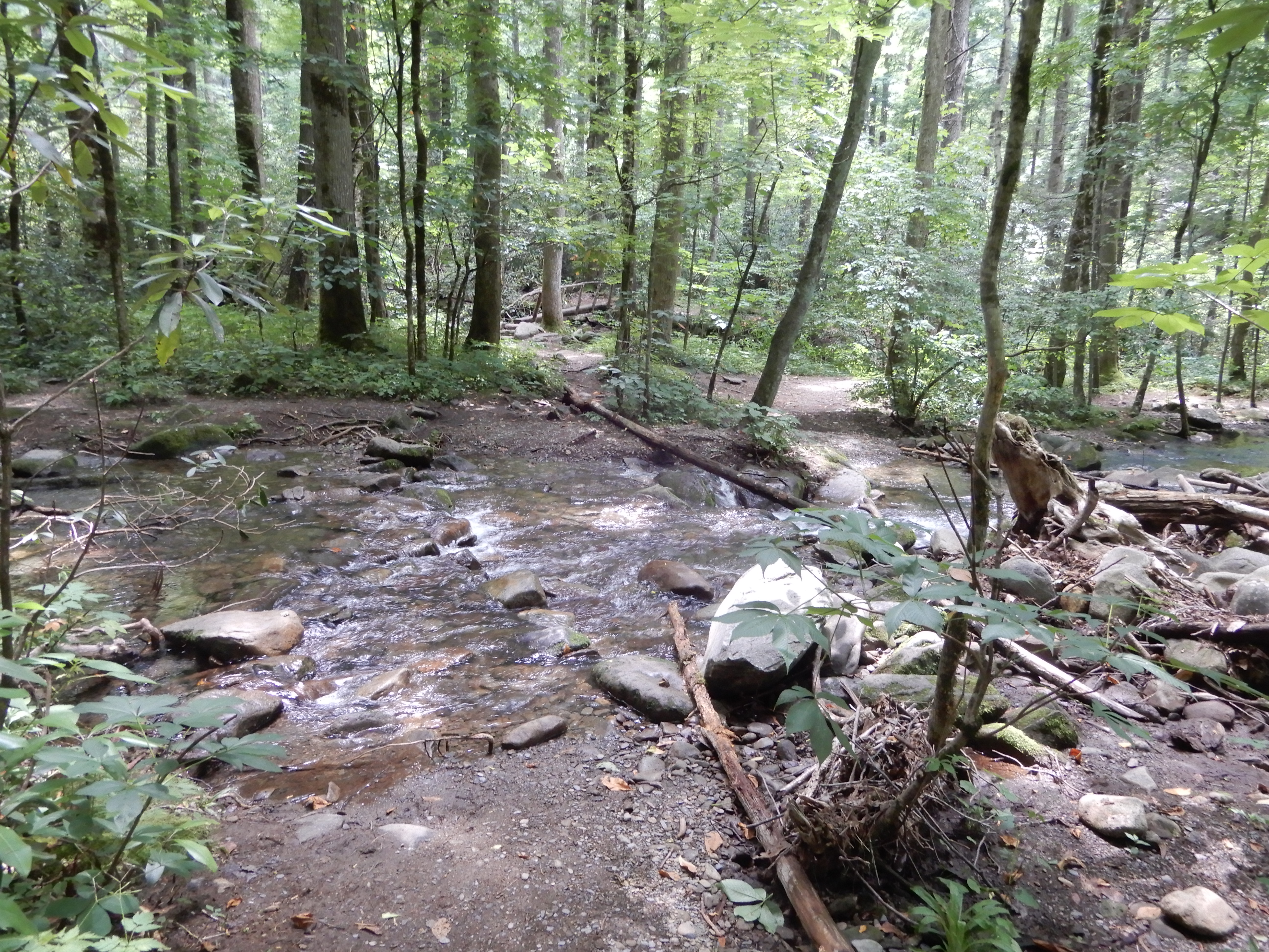
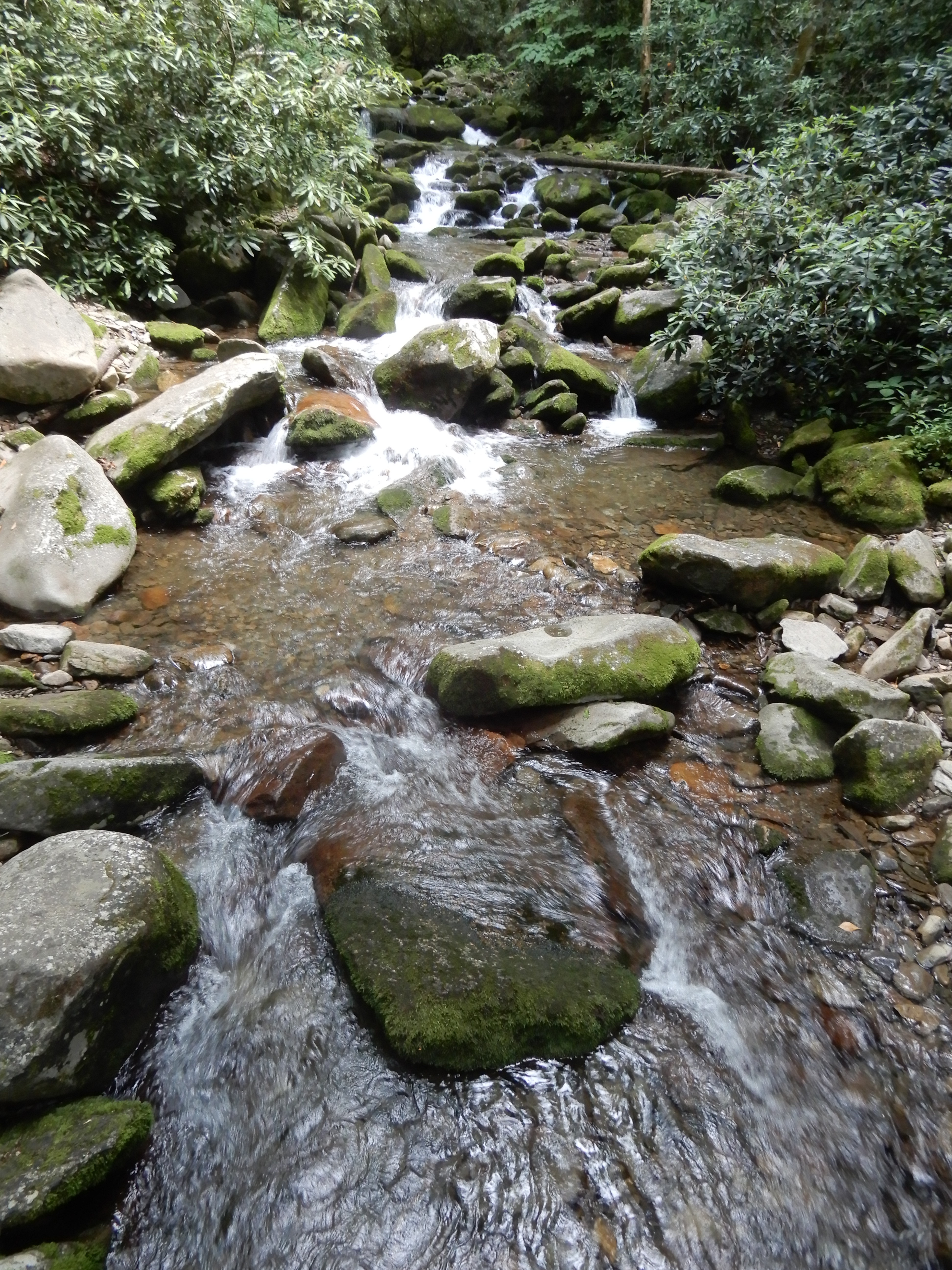
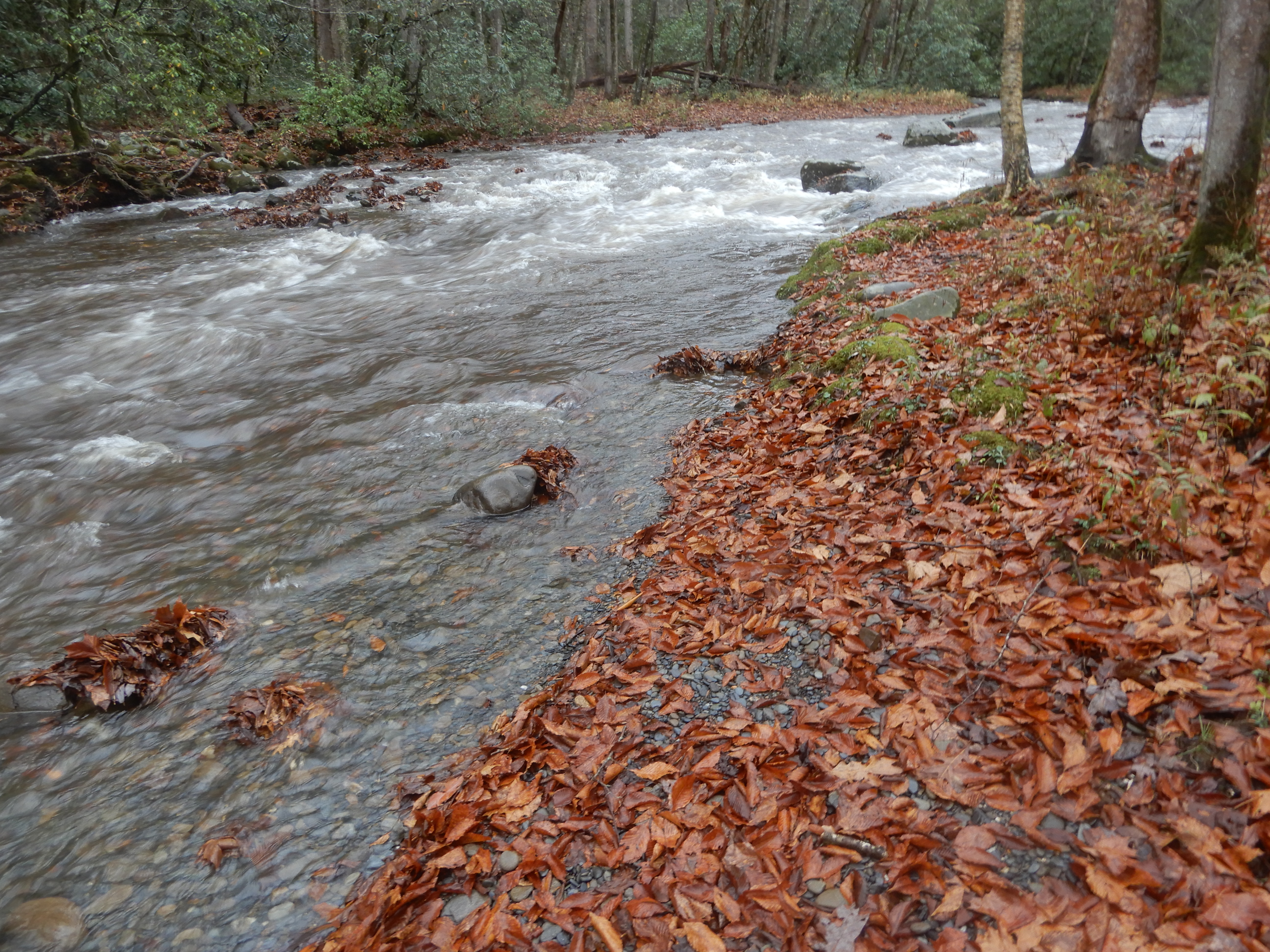
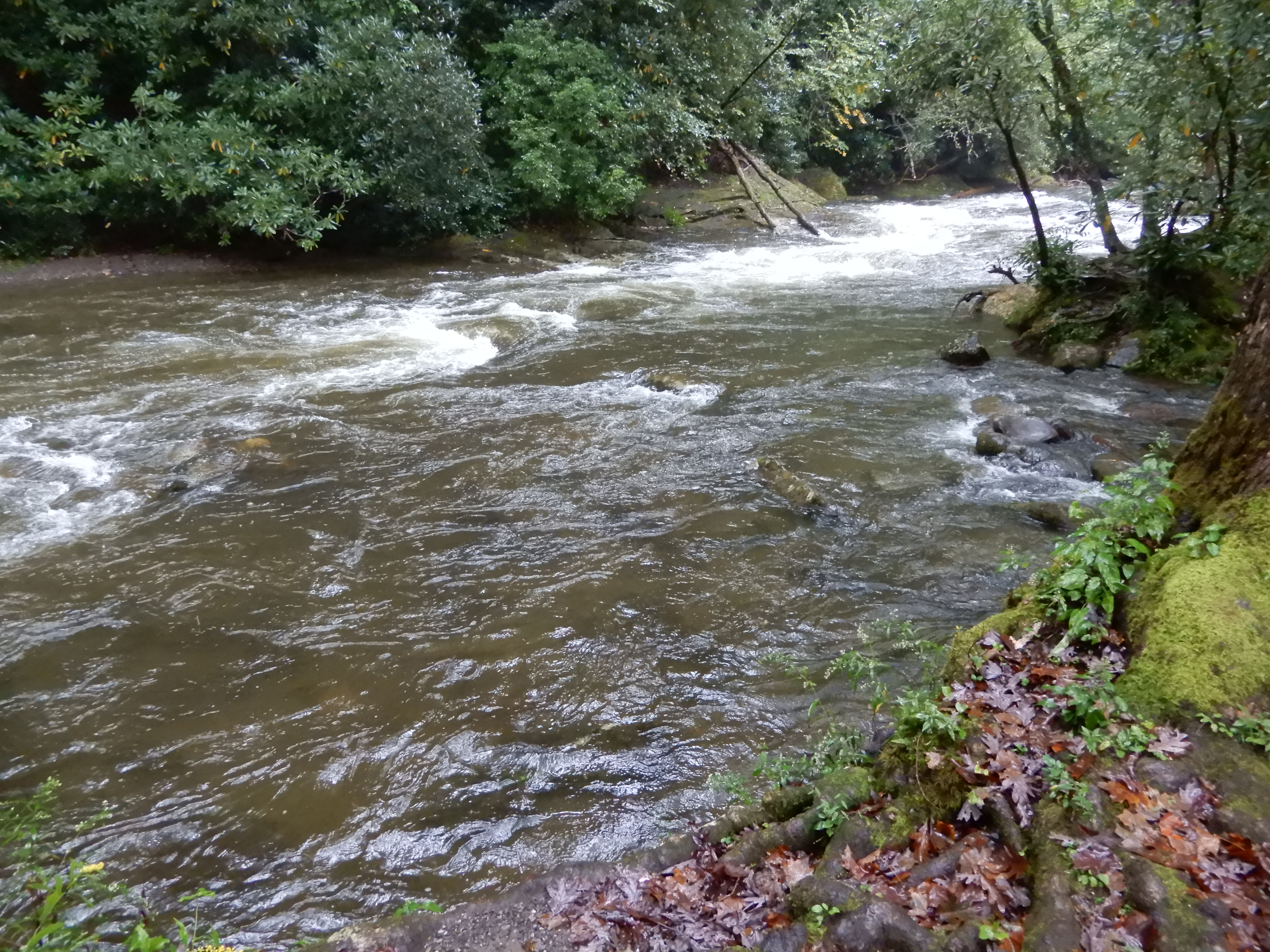
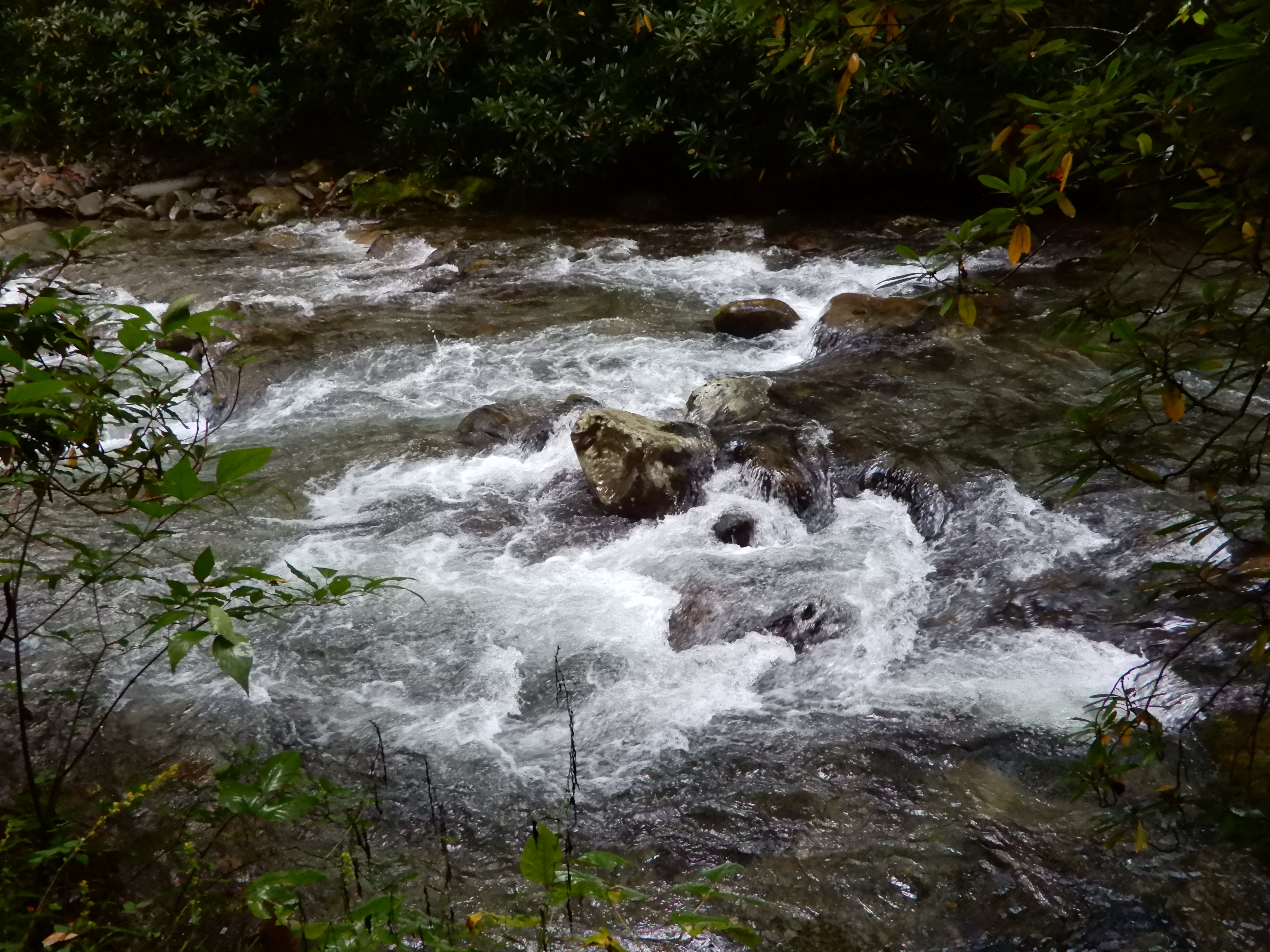
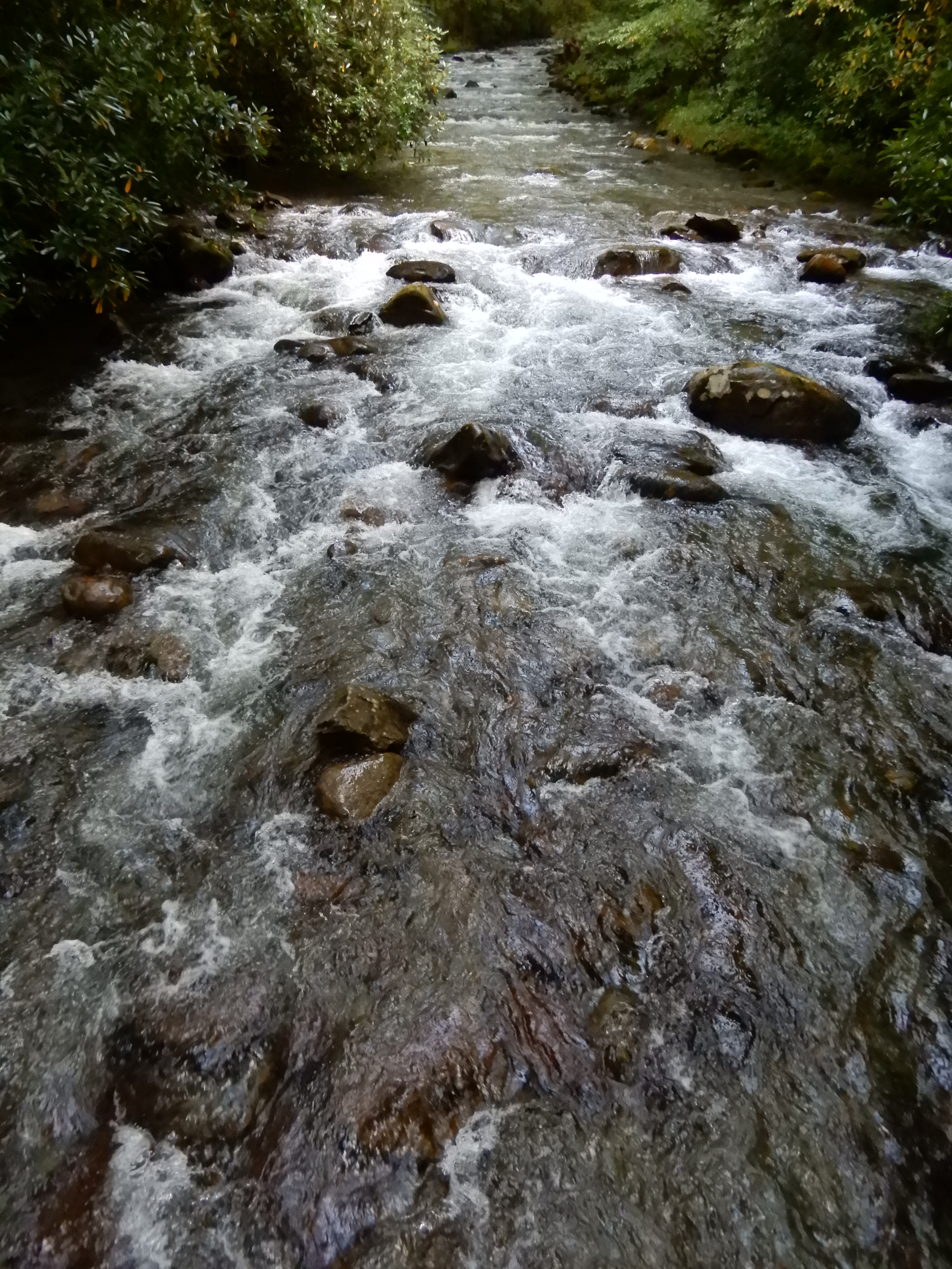
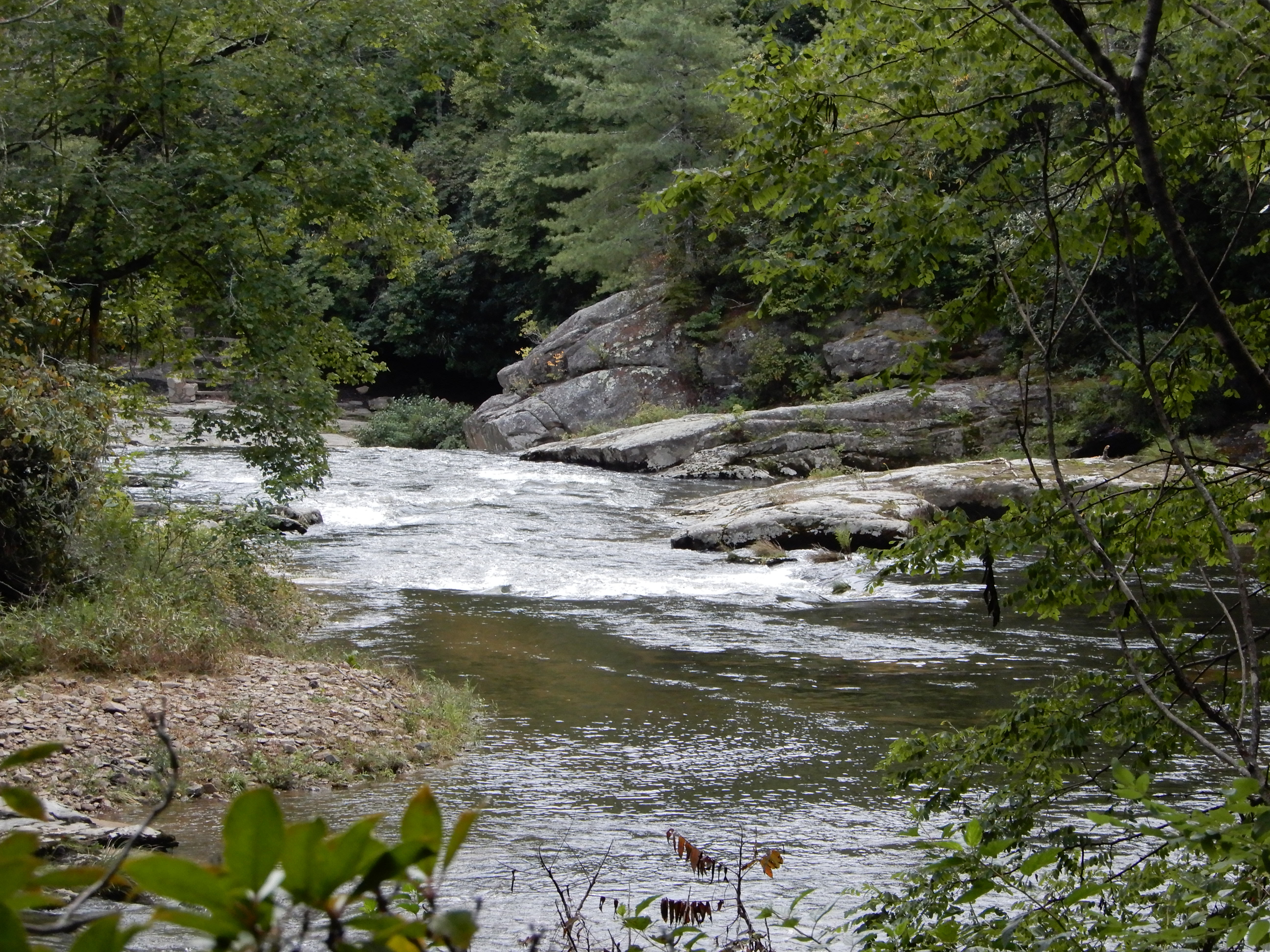
I hiked along the creek, which was raging like every other creek or river.
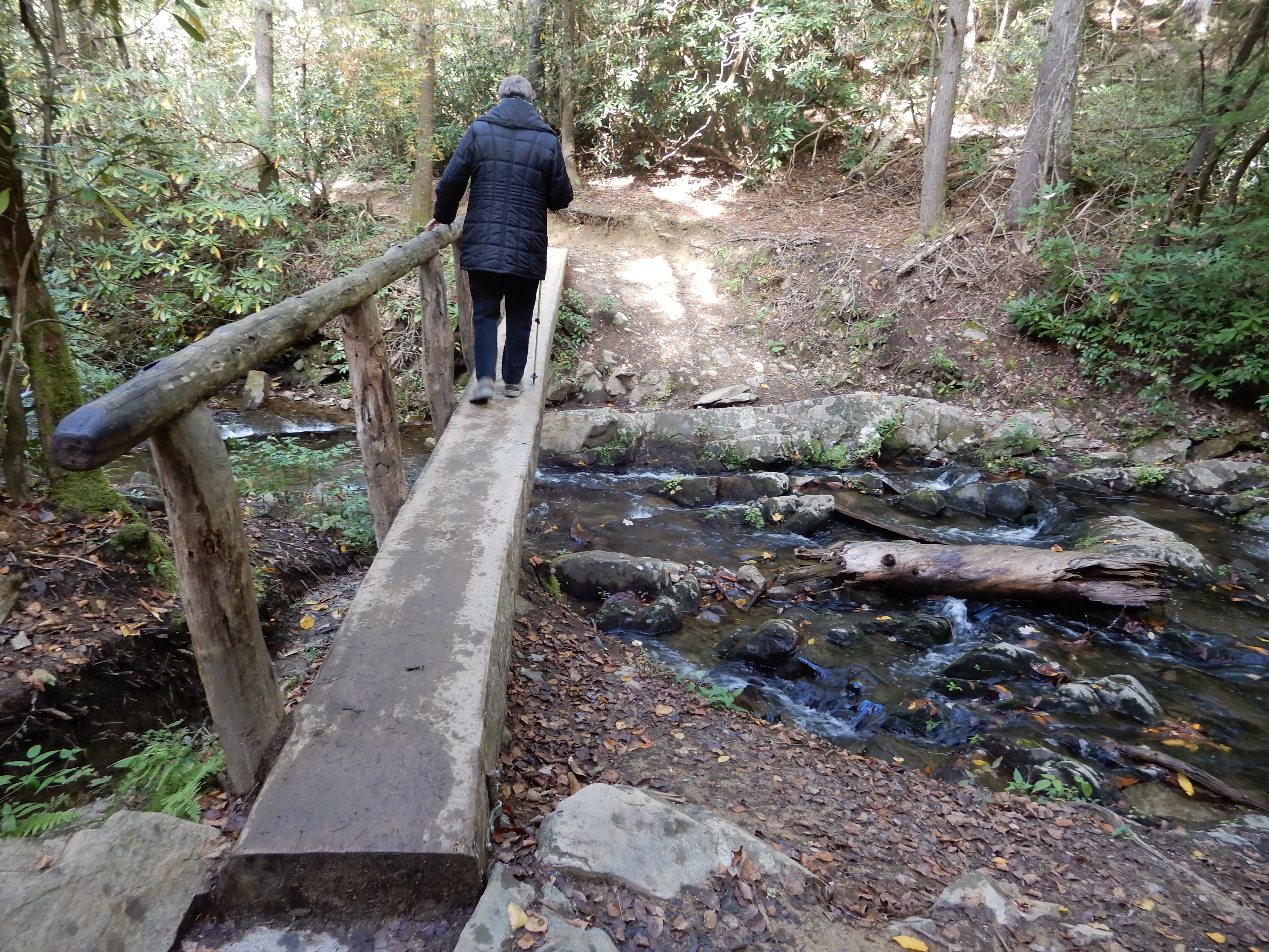
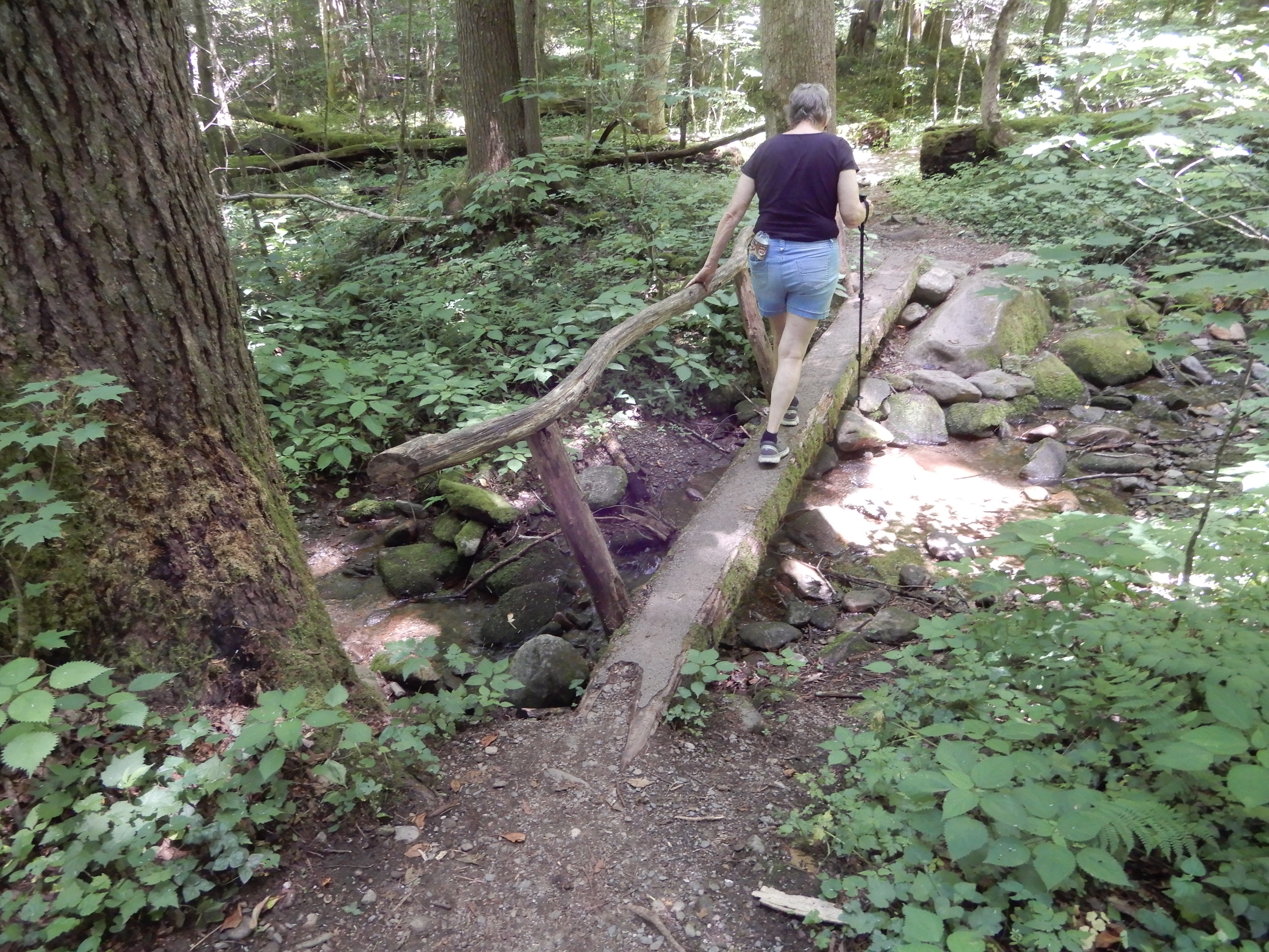
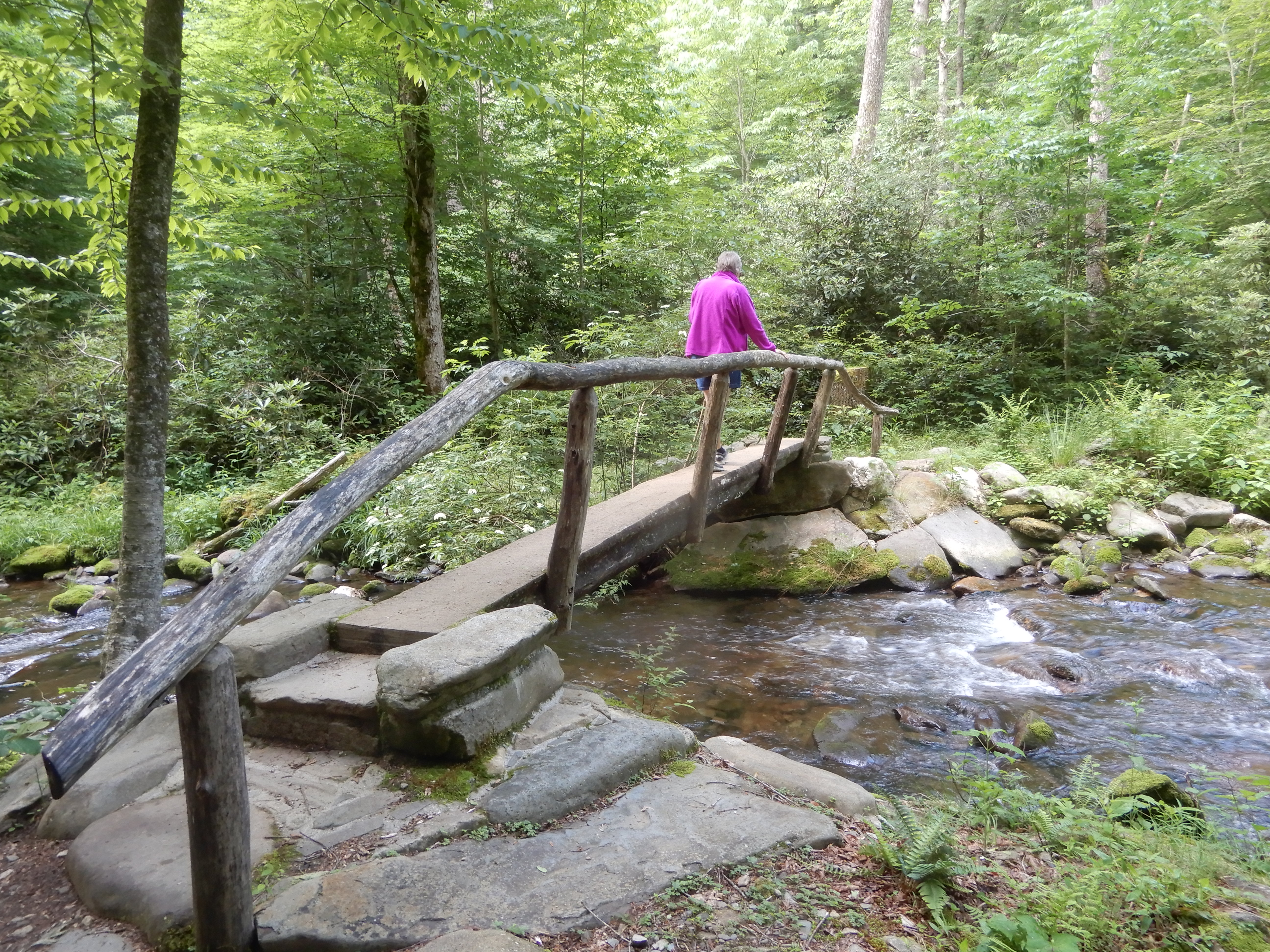
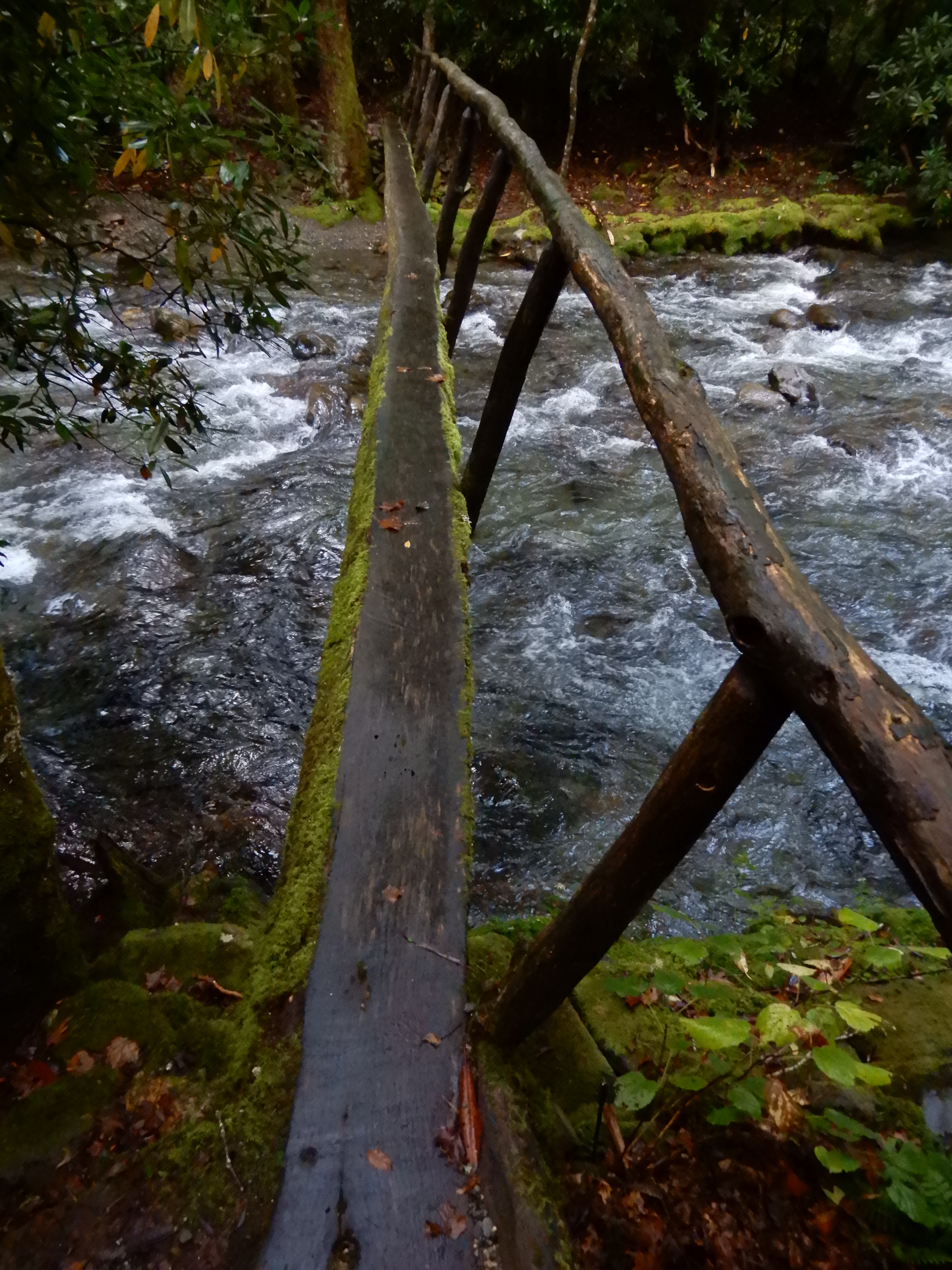
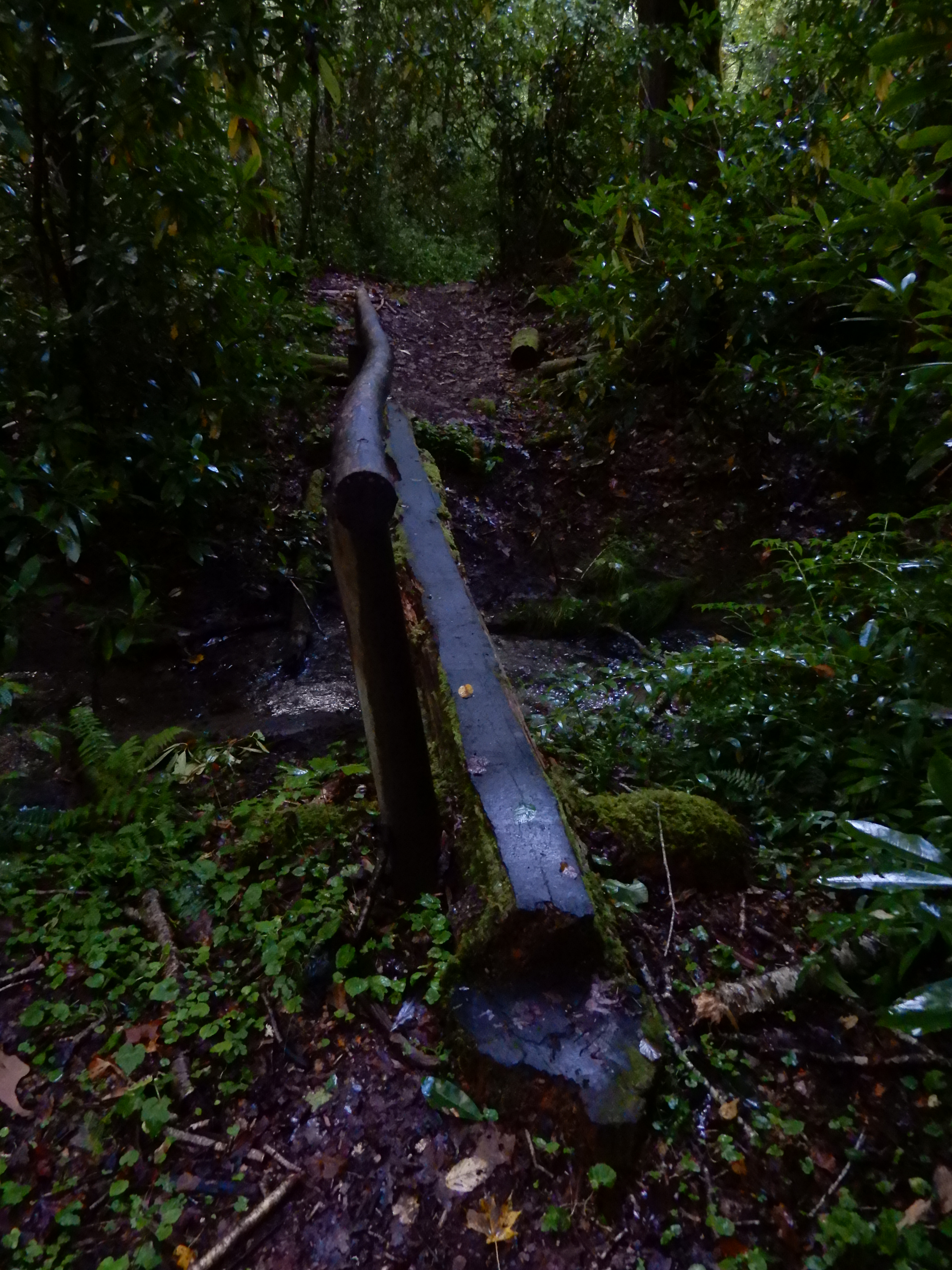
I crossed on a terrifying log bridge. It was high, and narrow, and rain-slick, and covered with slippery moss, with only a rickety limb railing.
I took my time. Stopping to take pictures.
After getting off on the other side, I looked back.
Continuing on the trail, I quickly came upon another log footbridge, only it wasn’t nearly as disturbing.
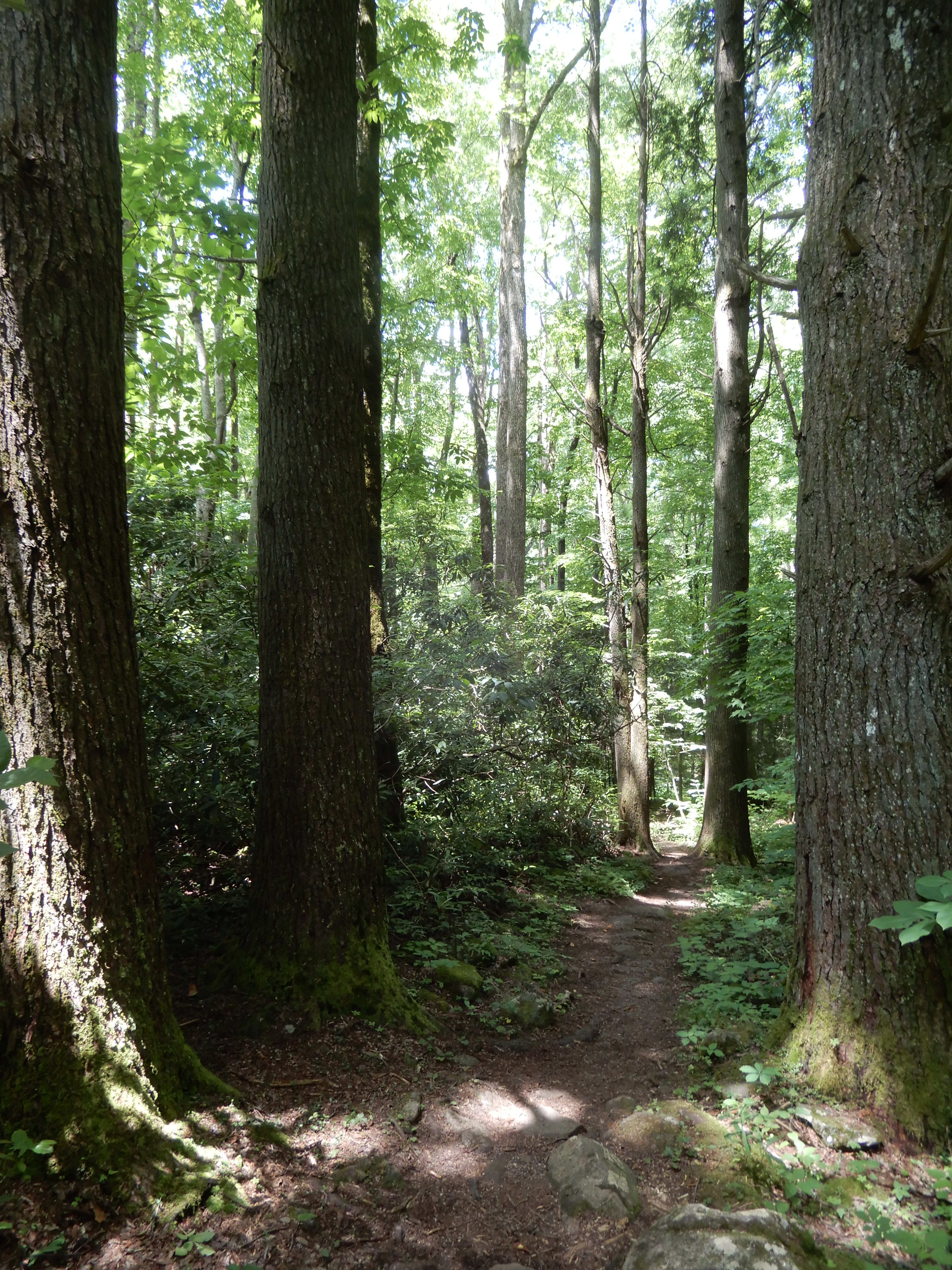
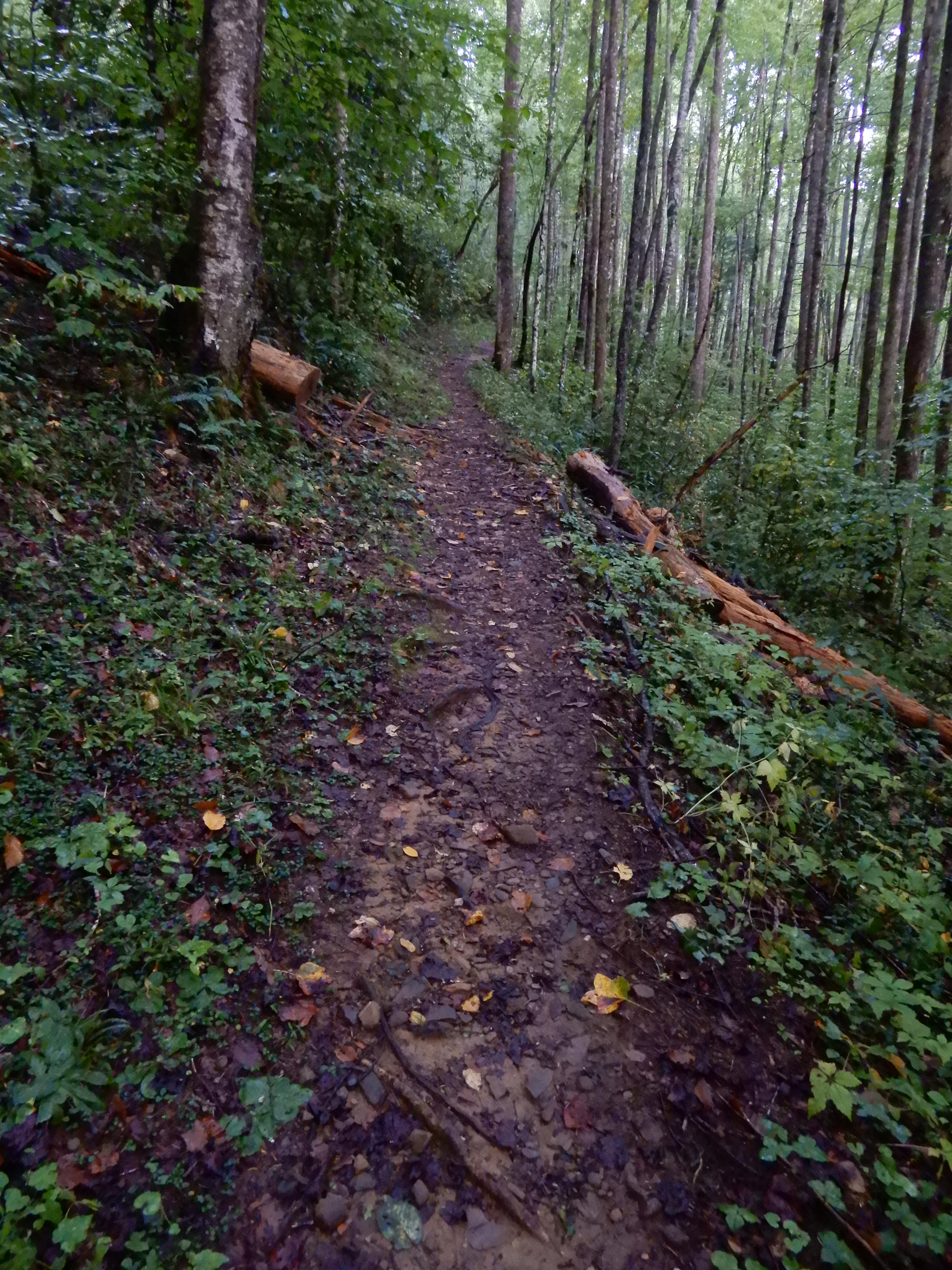
The trail continued up a mountain for a mile or so.
It was sloppy muddy and slick.
It was so rough going I gave up on it and turned back.
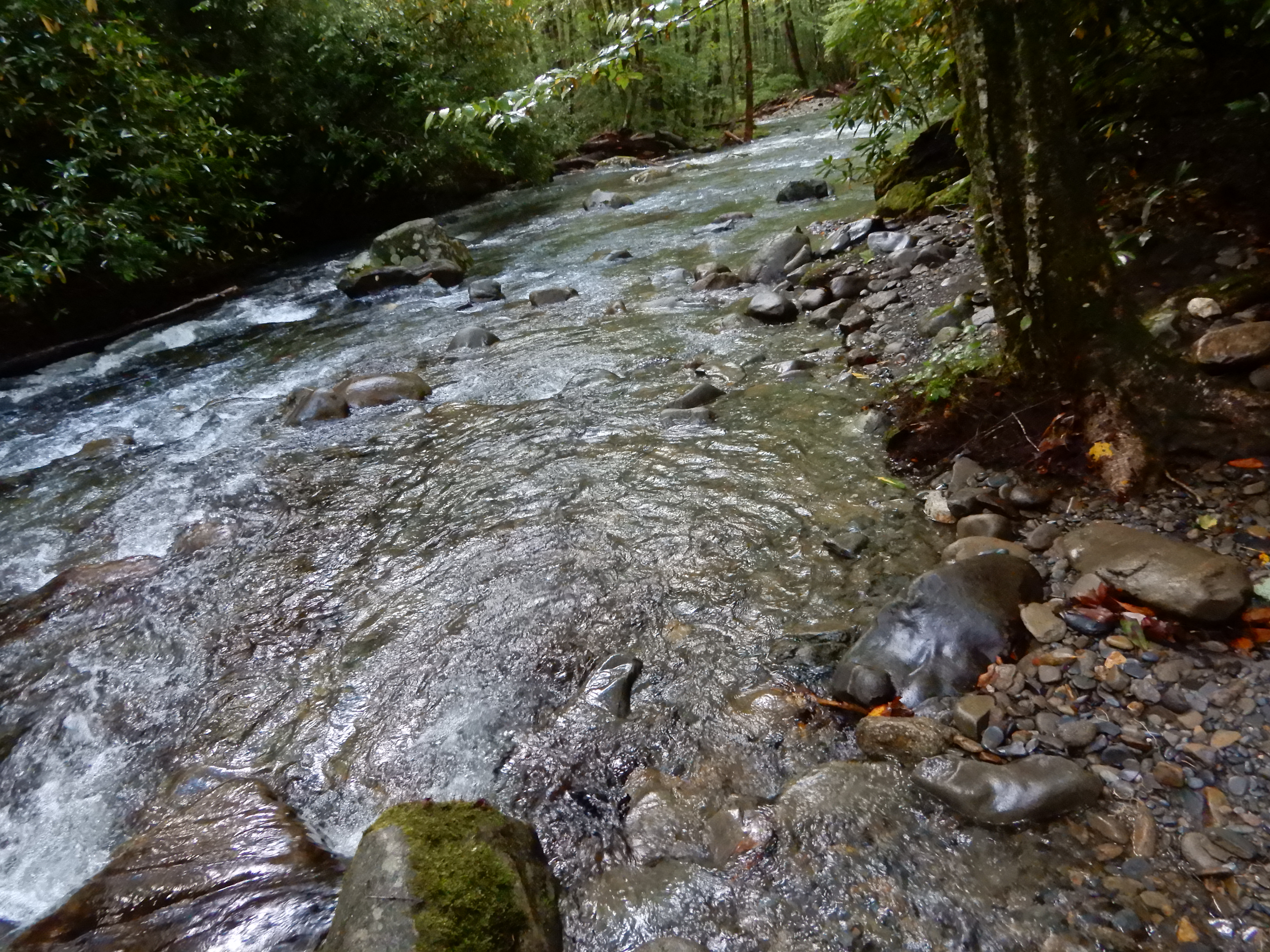
I made it back down to the river.
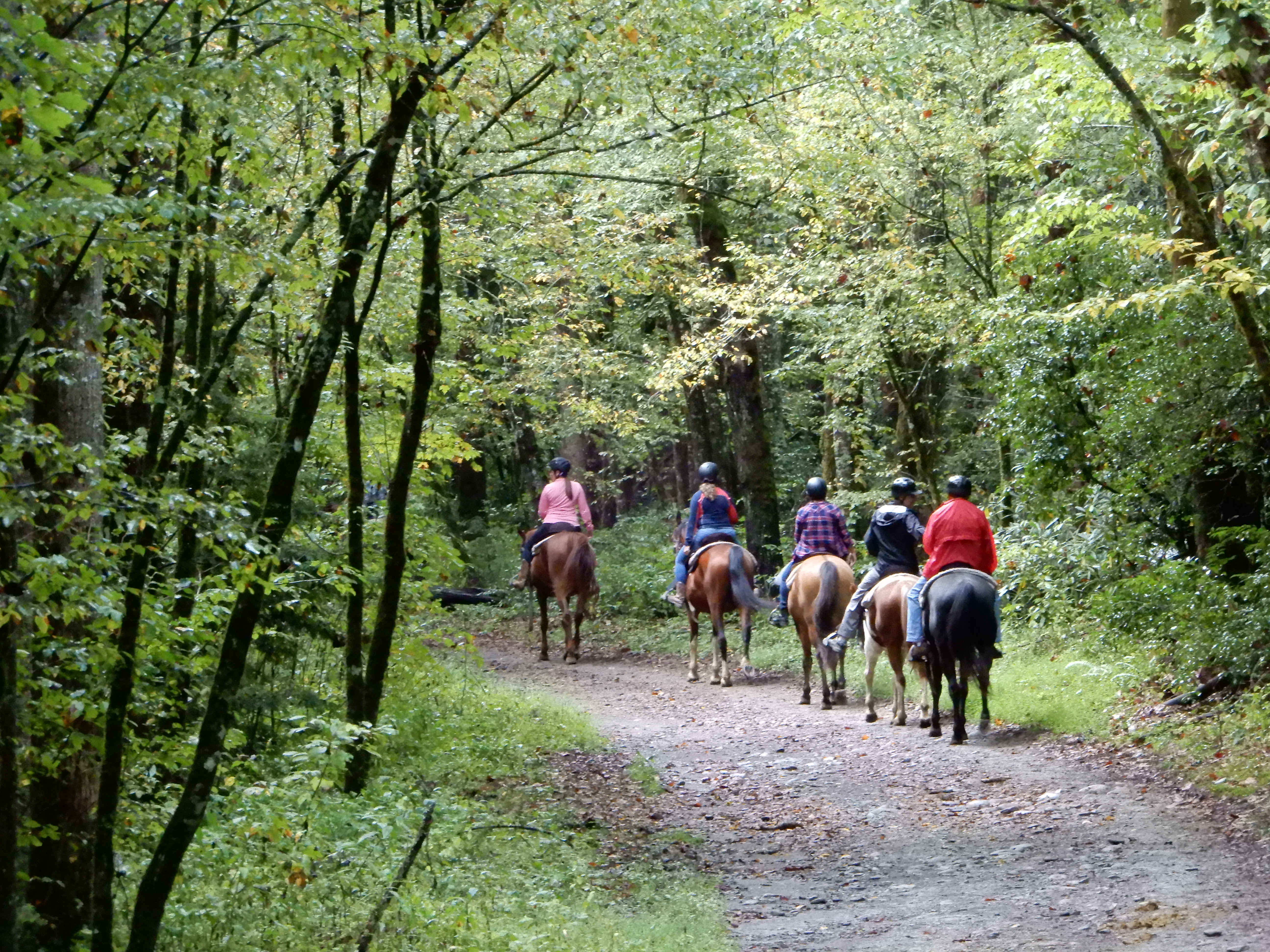
Which meant I had to cross that log bridge again. I did, without mishap. Then it was back toward the campground on the horse trail. On the way, some horses passed me.
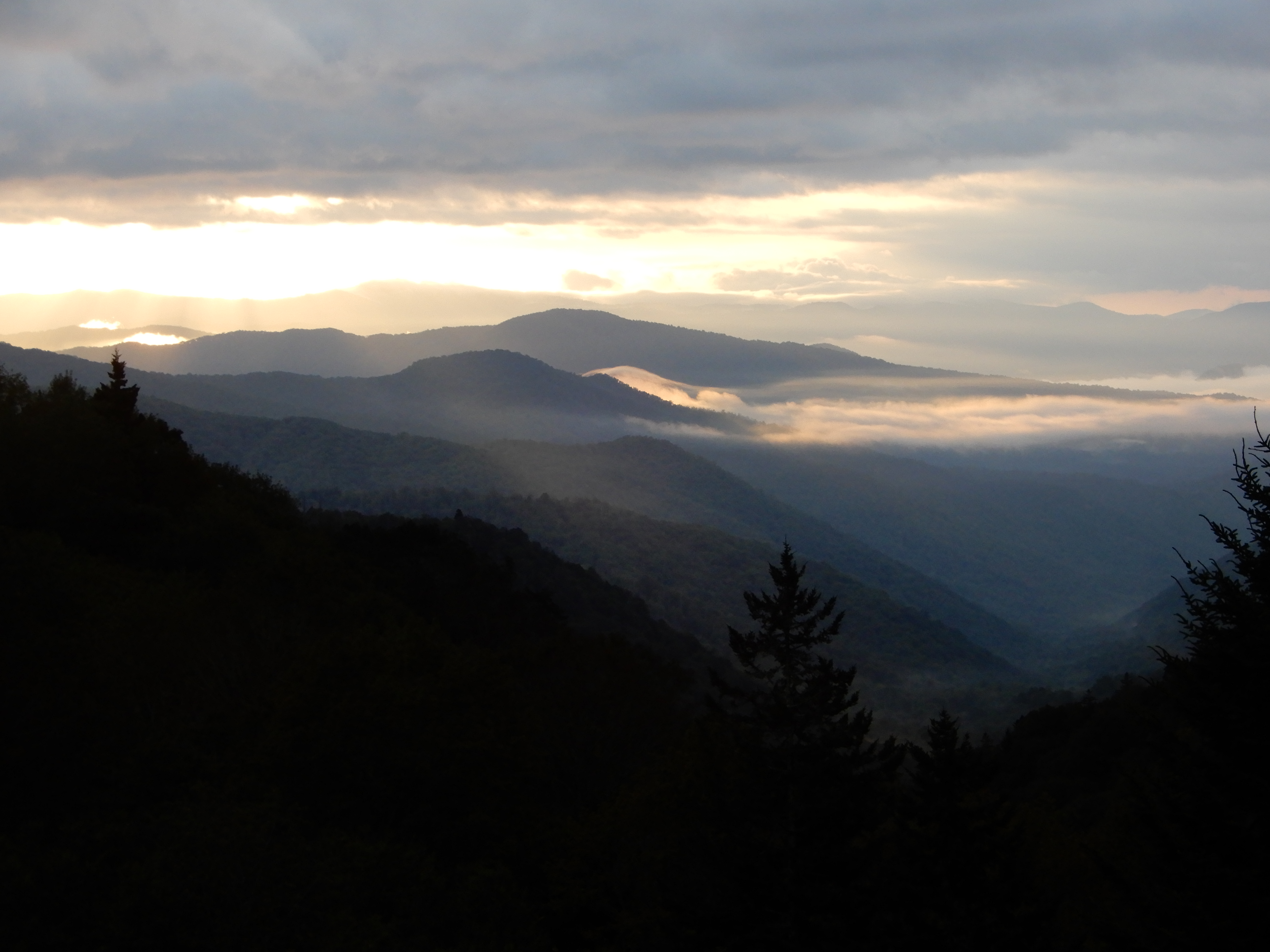
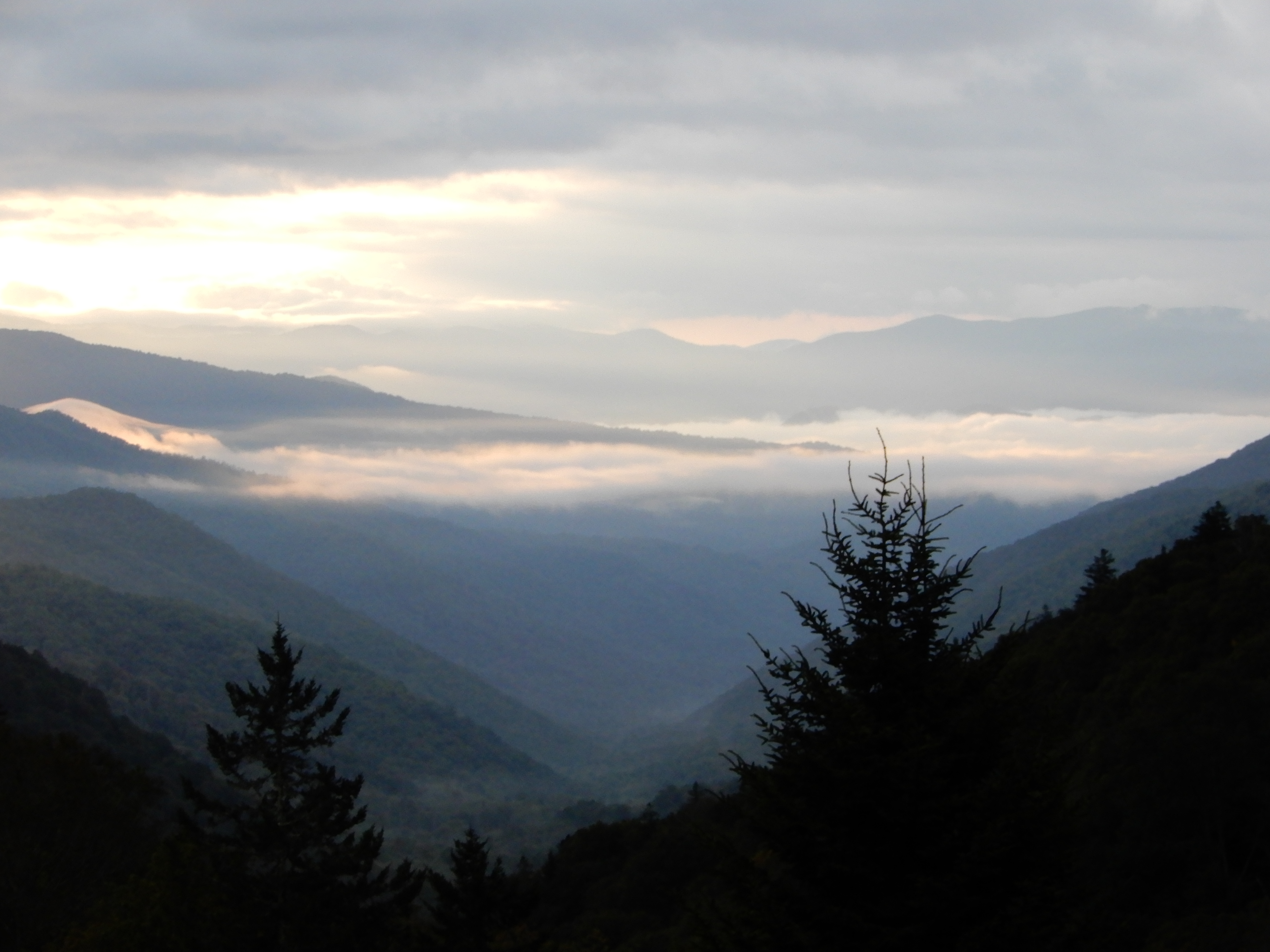
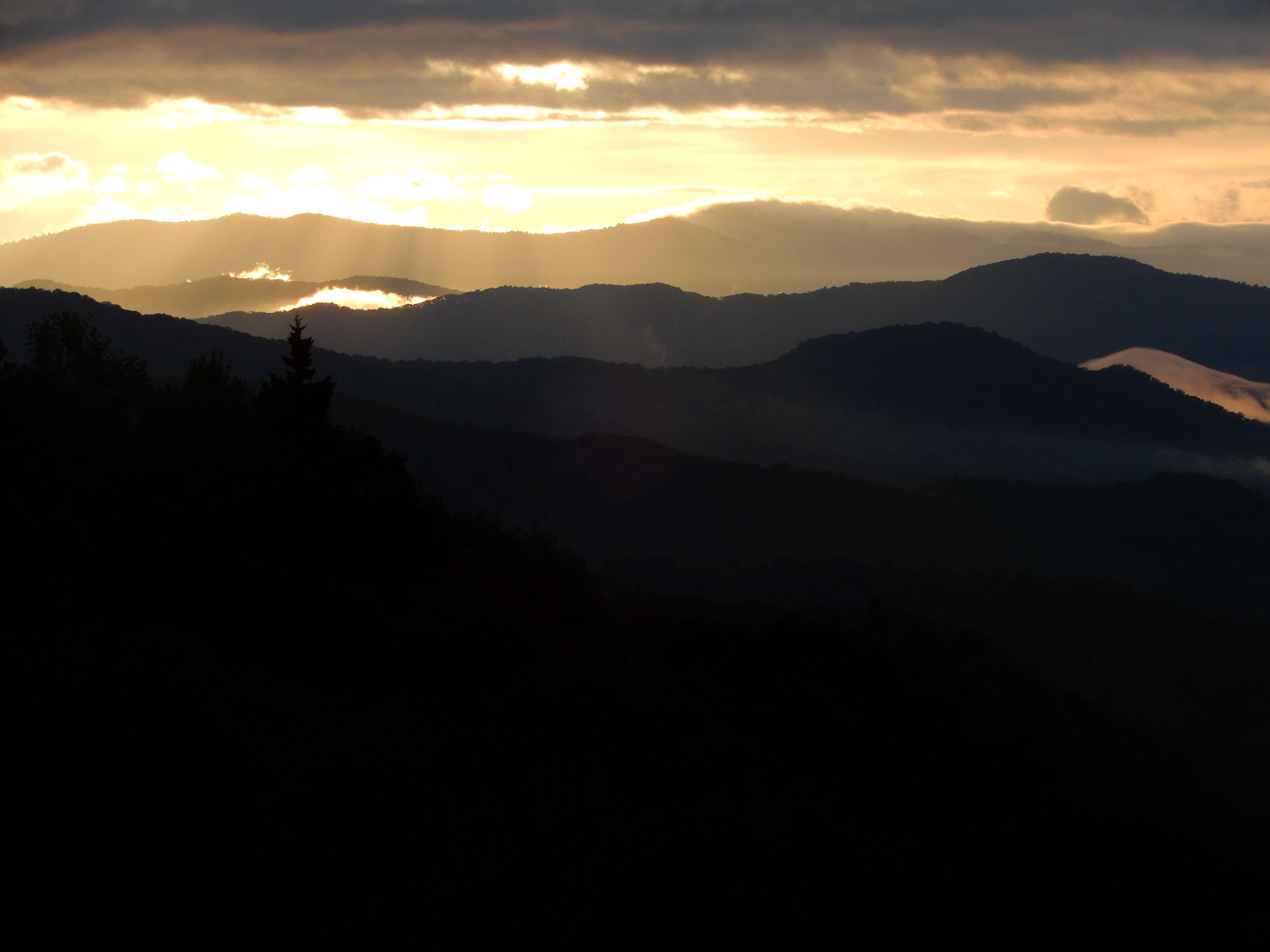
I figure I did 5-5.5 miles by the time I got back to the site and crashed. After lunch we drove into Cherokee and walked around, then drove into the Smokies nearly all the way to Newfound Gap.
We were out late enough to get some good dusky shots.
Then it was back to the campground for the night.
Next Location – Smoky Mountains National Park, Smokemont Campground 2, North Carolina
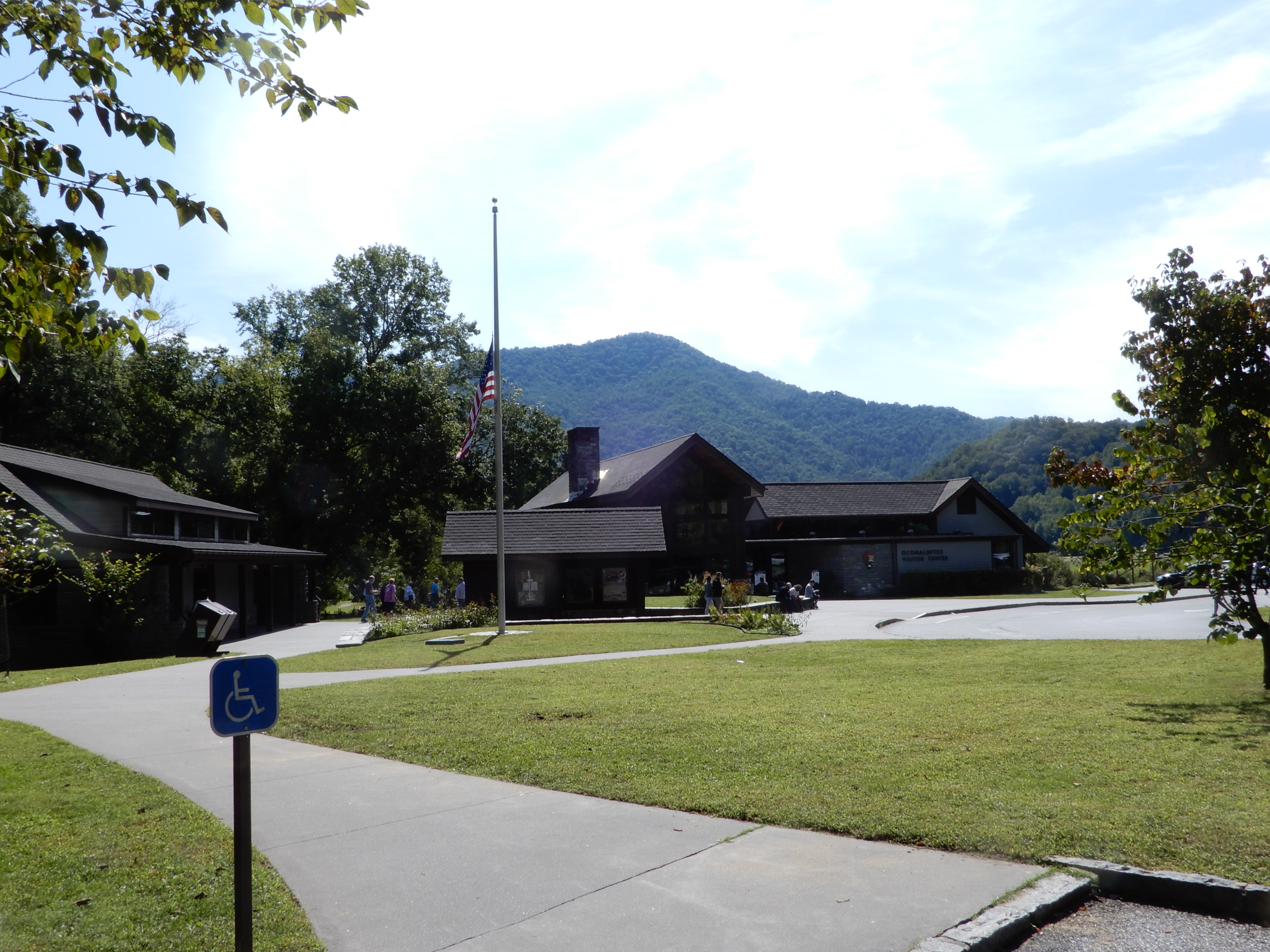
Reaching the south terminus of the Blue Ridge Parkway, which ended inside the Smoky Mountains National Park, we turned onto 441 and drove to the Oconaluftee Visitor Center. We ate lunch in the parking lot, then went in for some information.
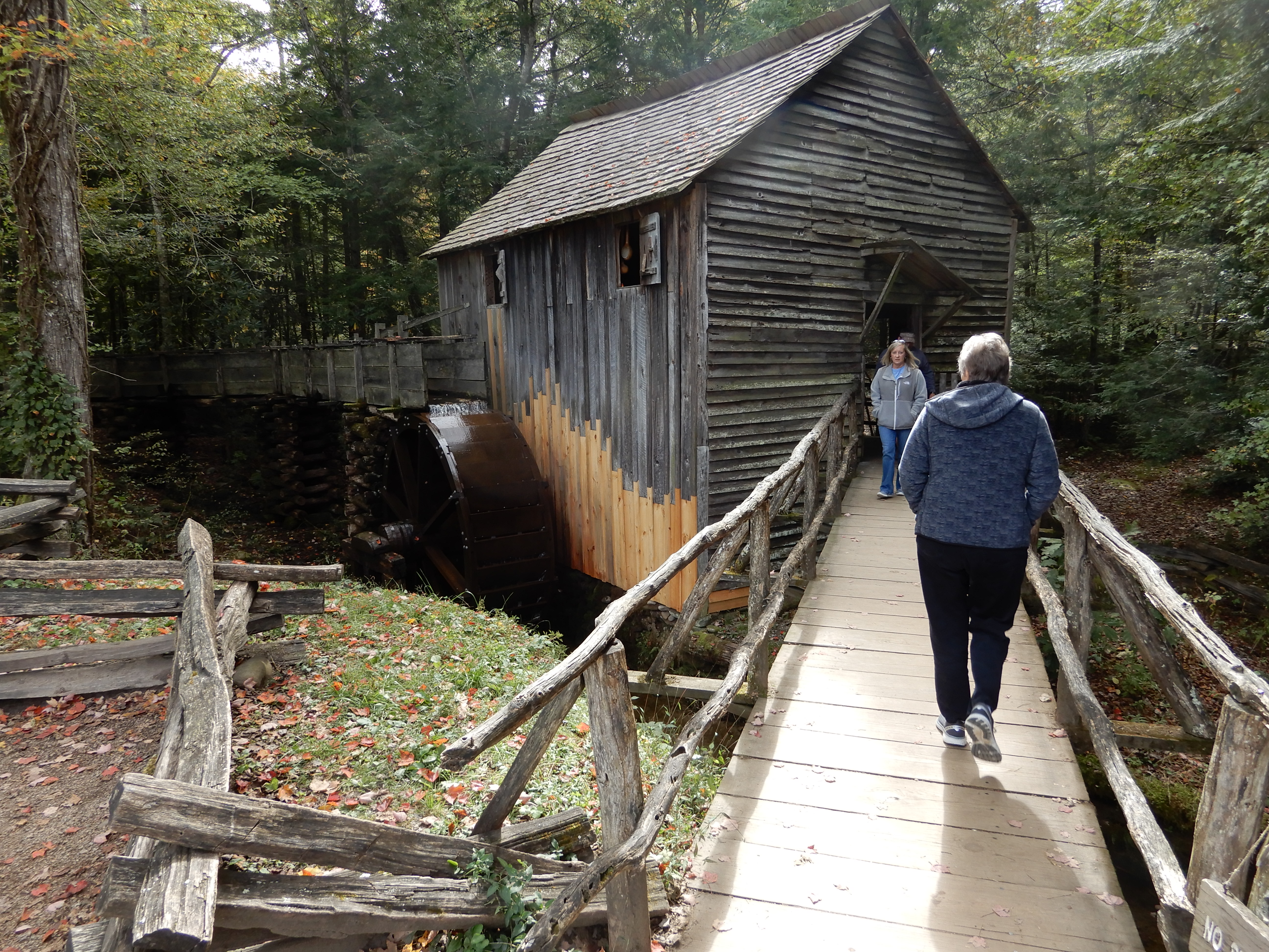
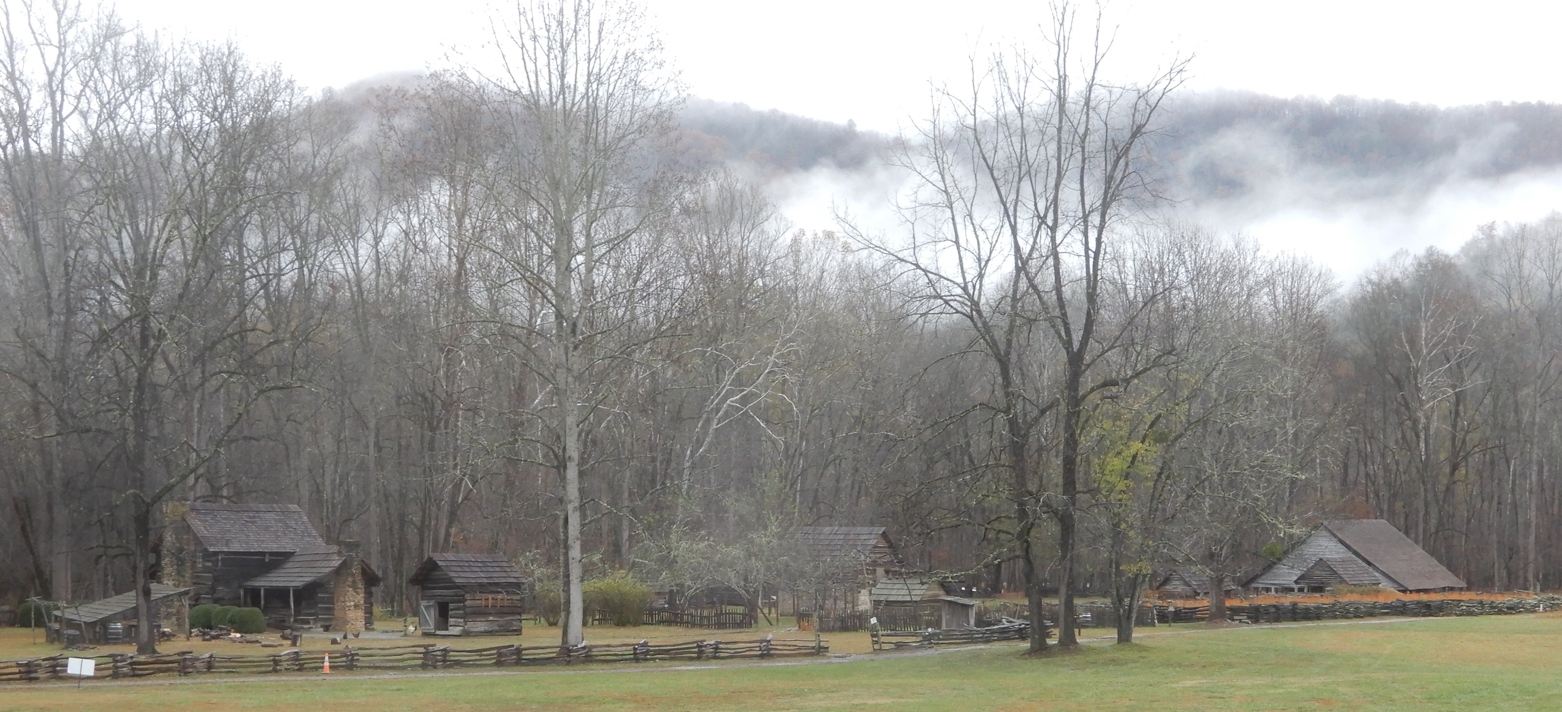
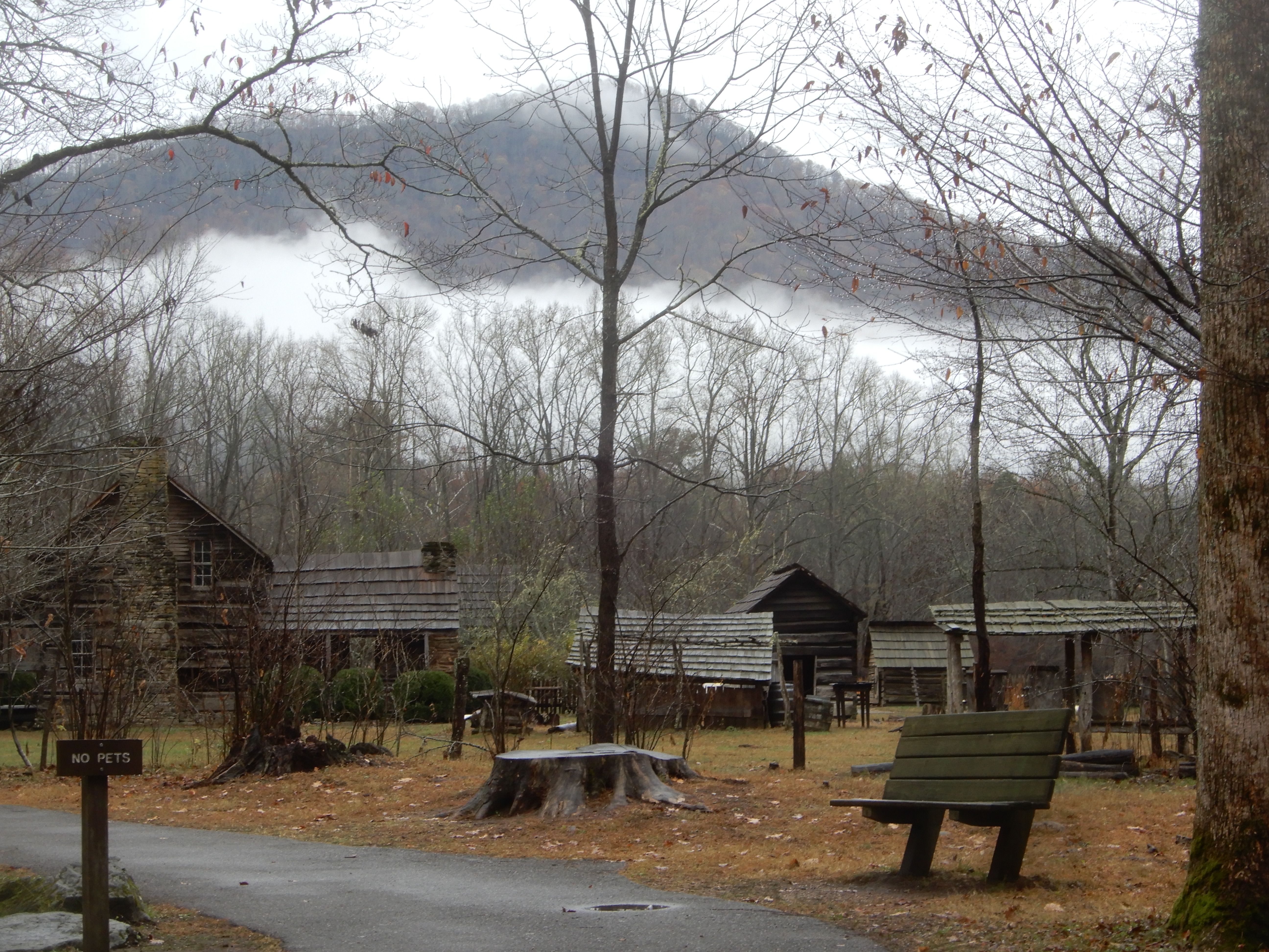
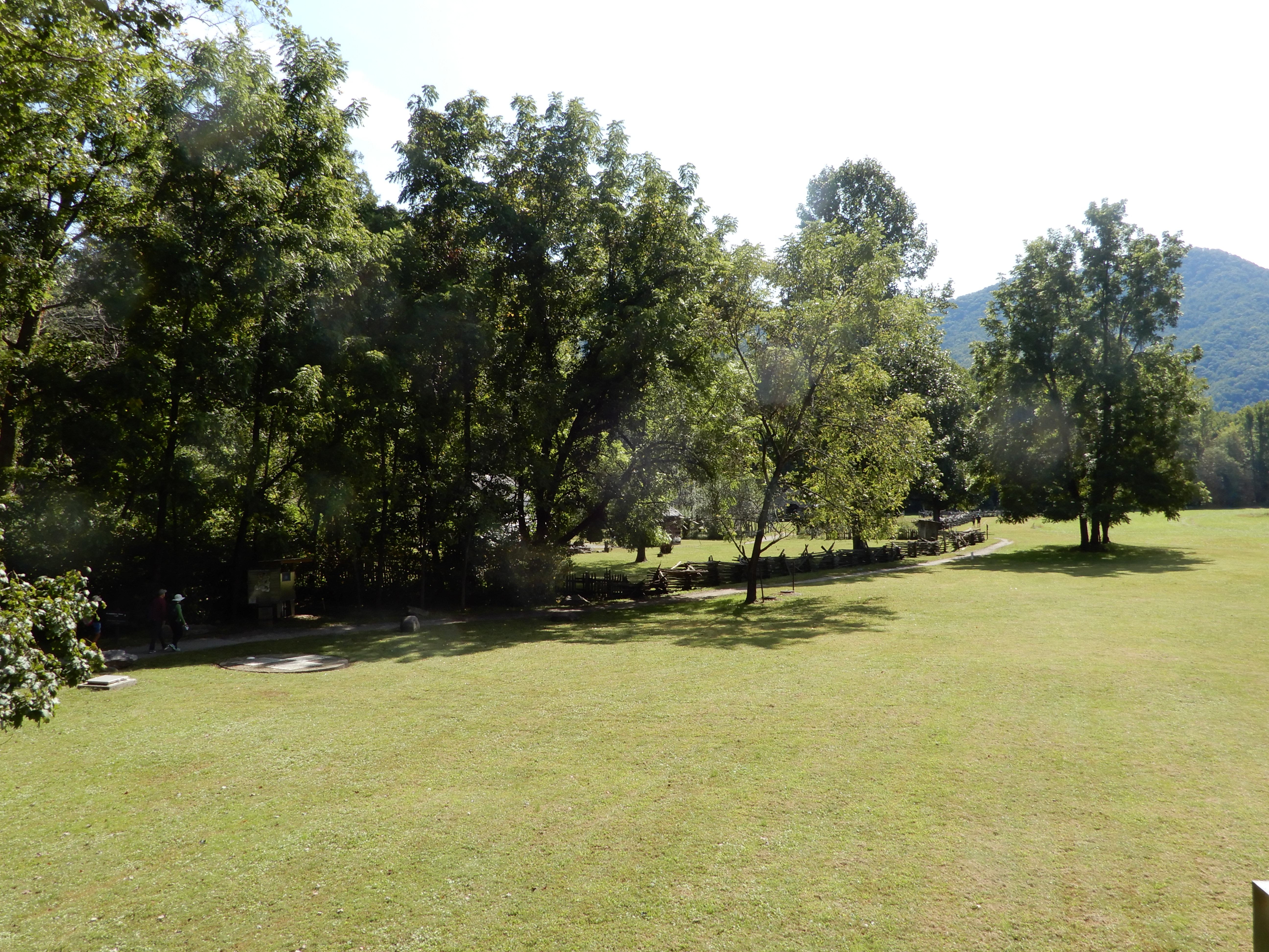
We then walked through the pioneer village.
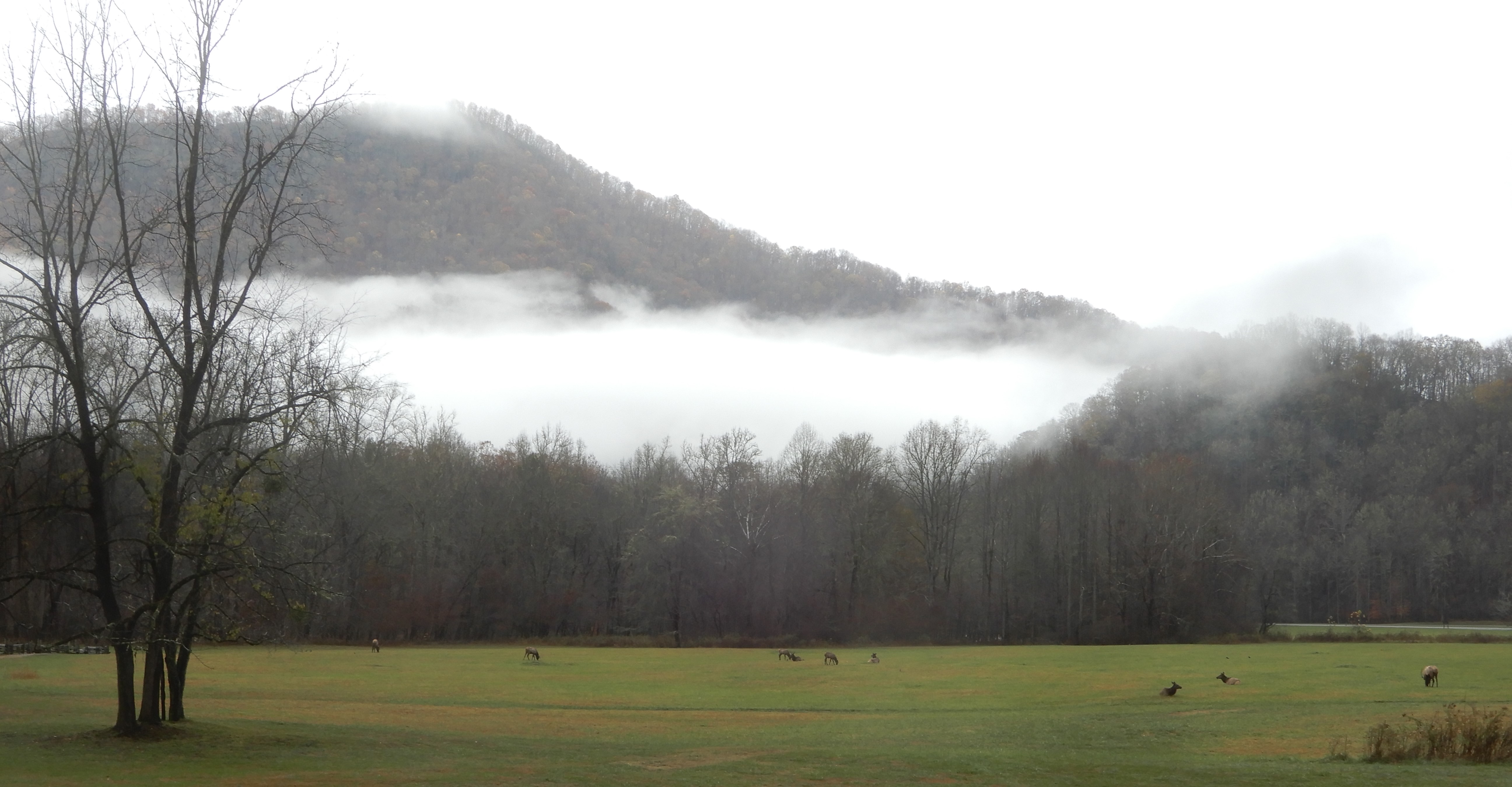
There is a sizable elk herd there, which we viewed from a distance.
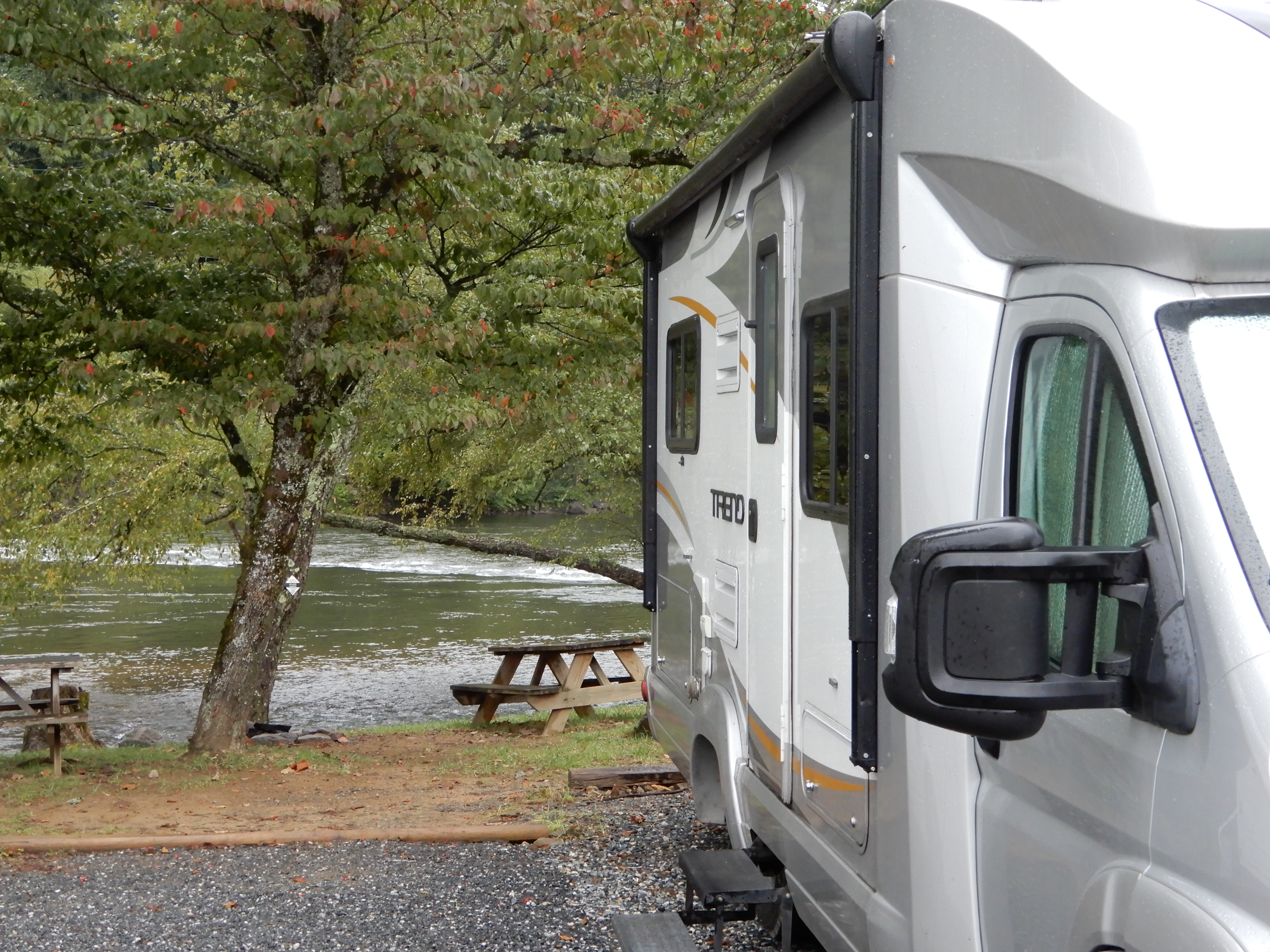
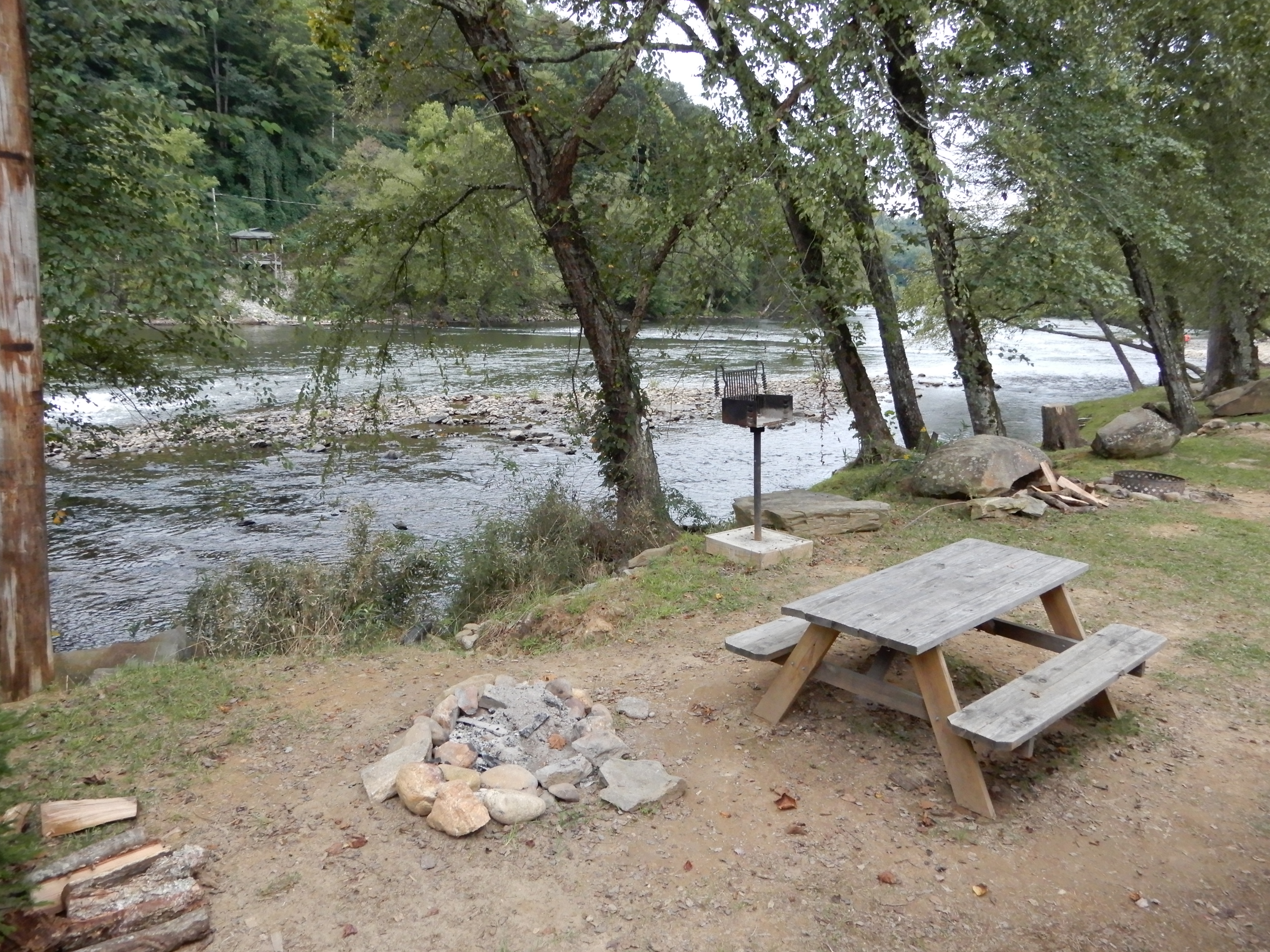
We drove out of the park into Cherokee. Outside of town we found a private campground, River Valley, and set up in a beautiful site alongside a roaring mountain river.
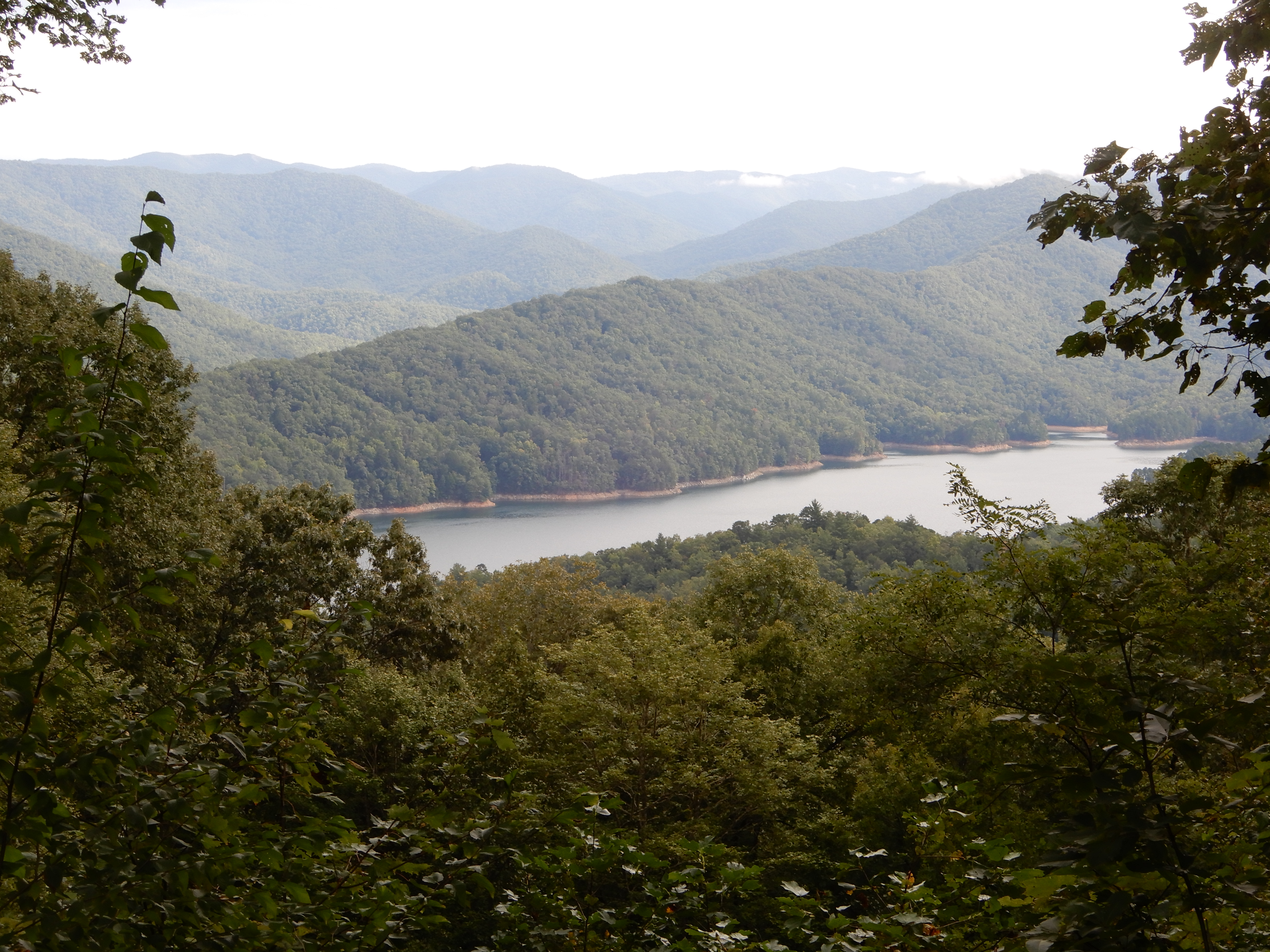
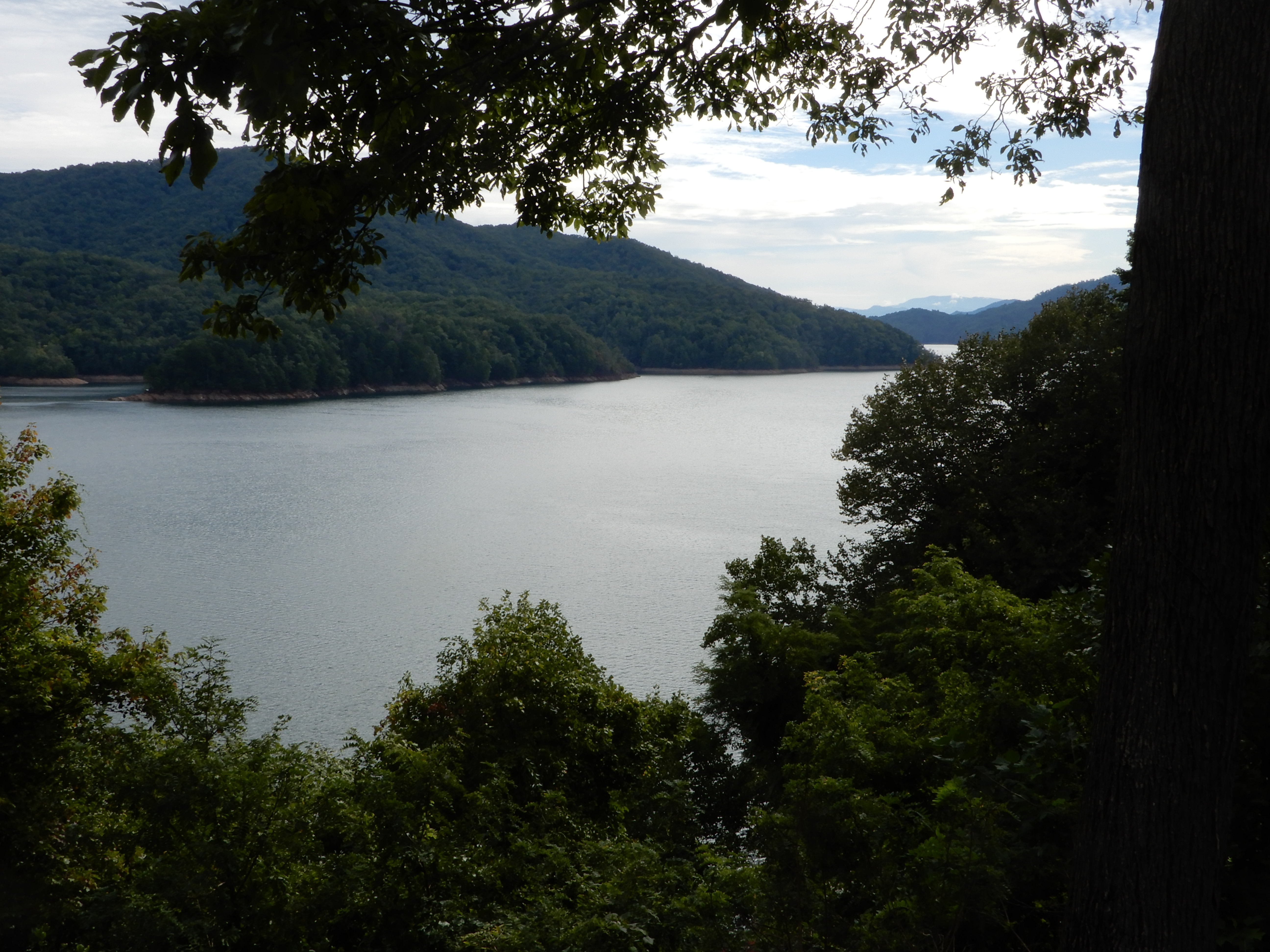
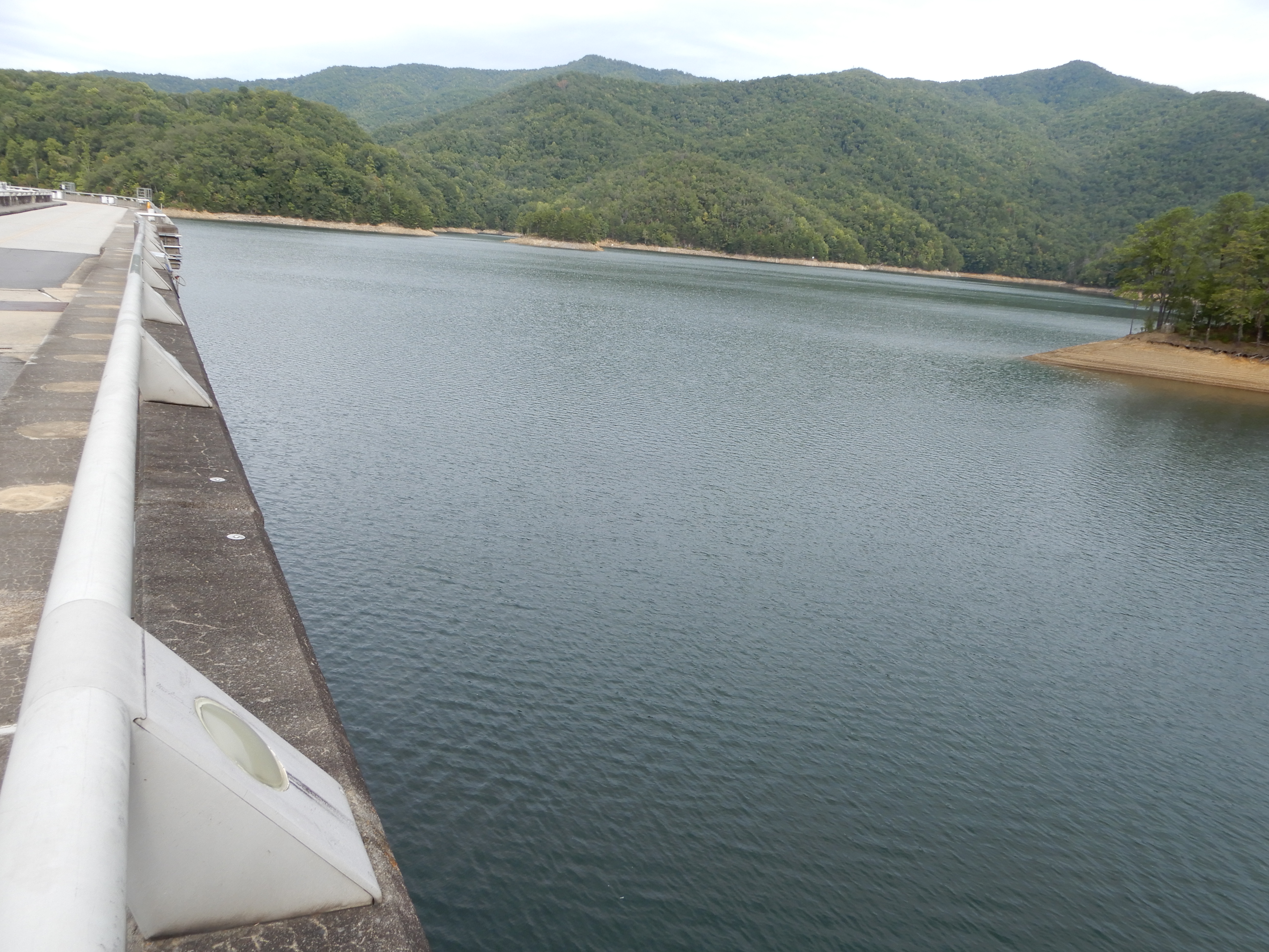
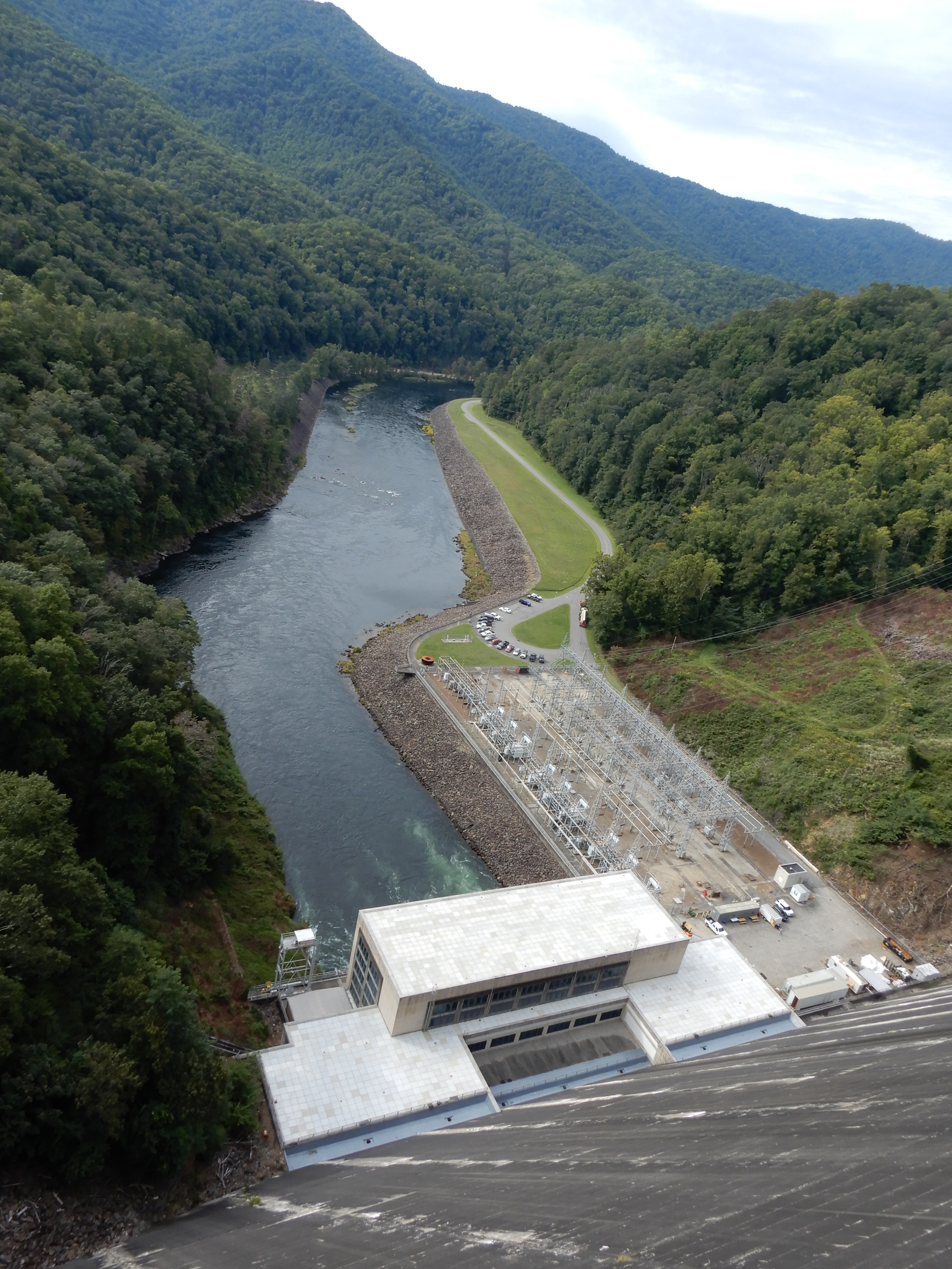
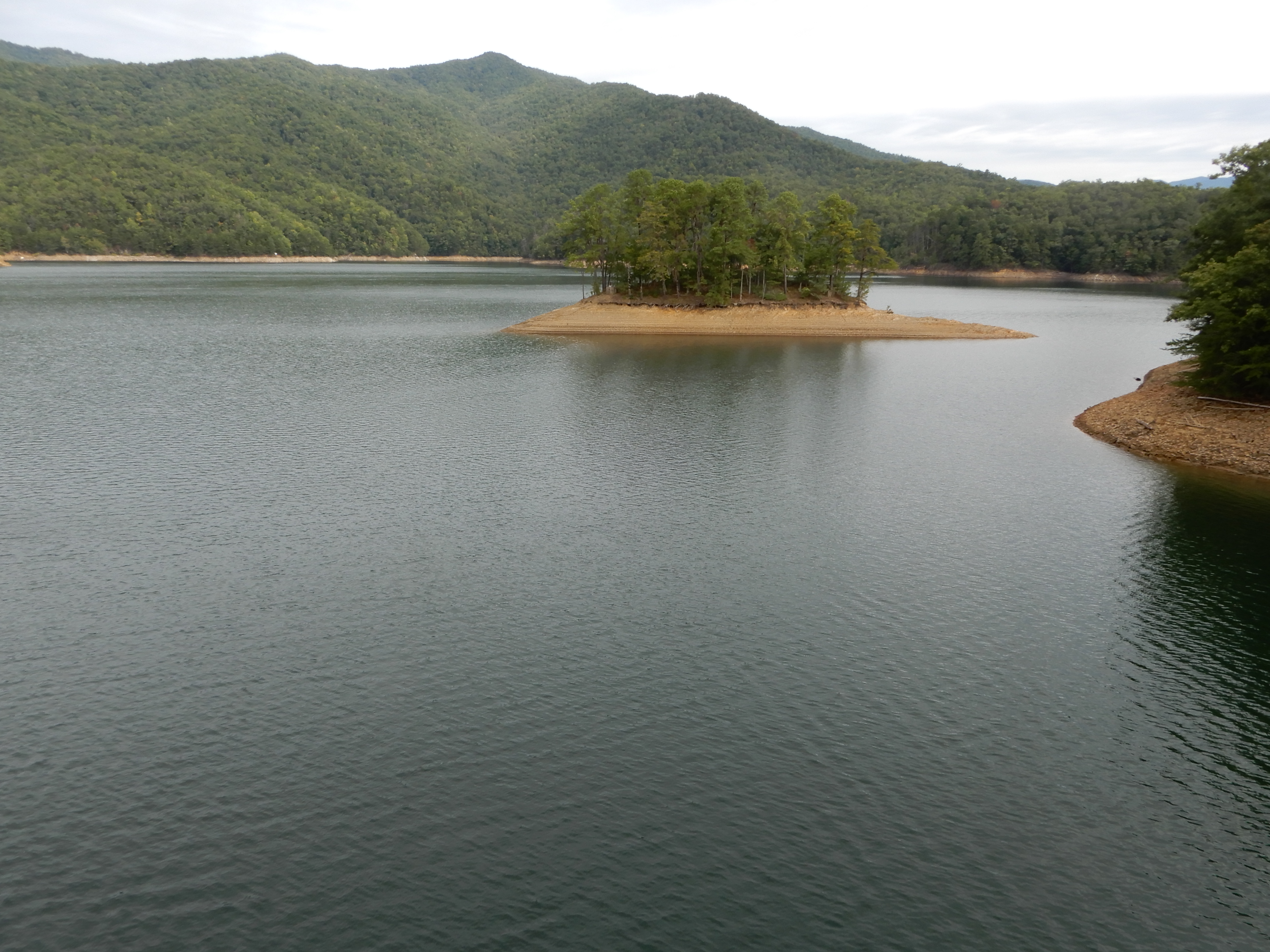
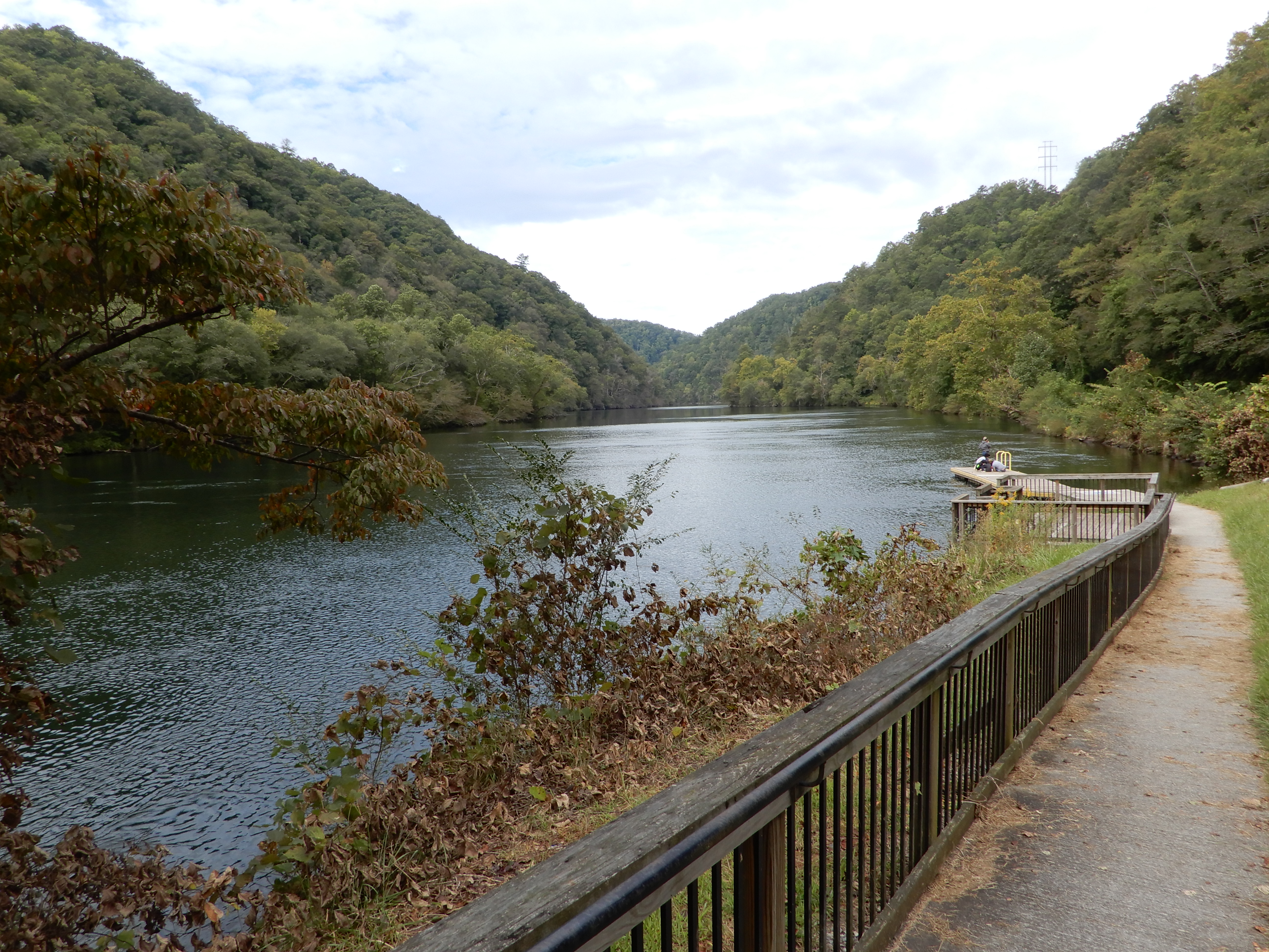
The next morning we drove west out of Cherokee to Fontana Lake.
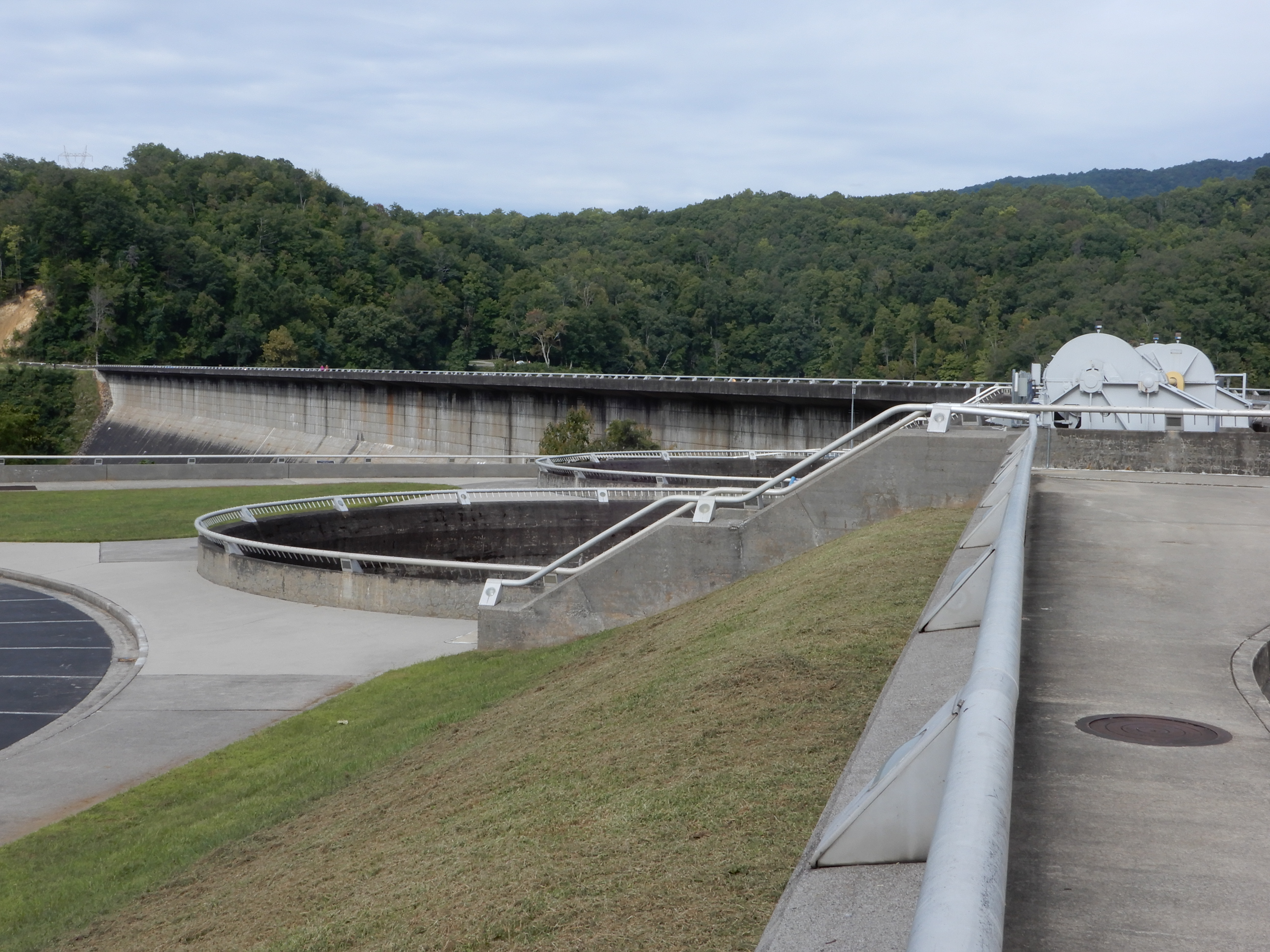
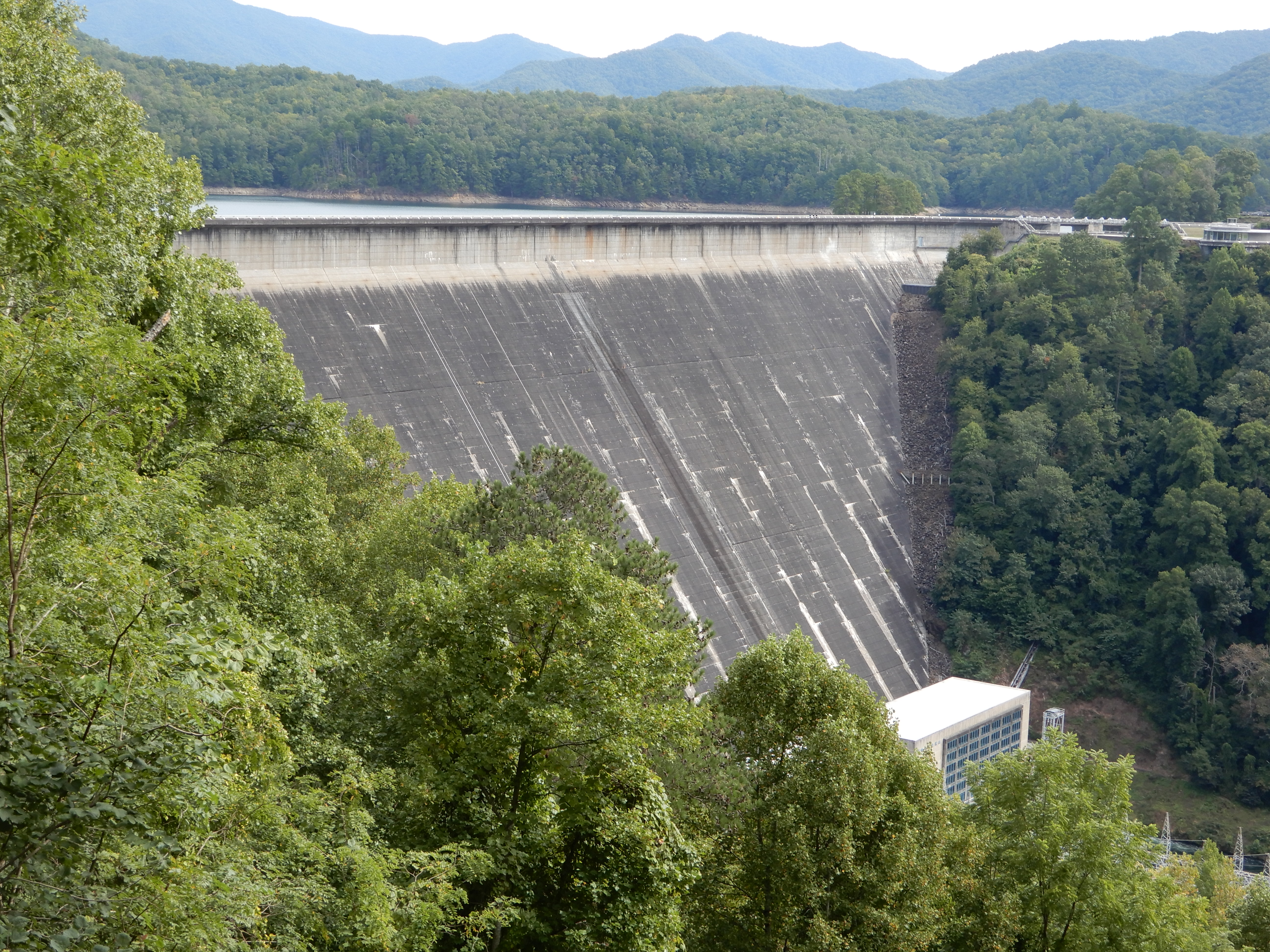
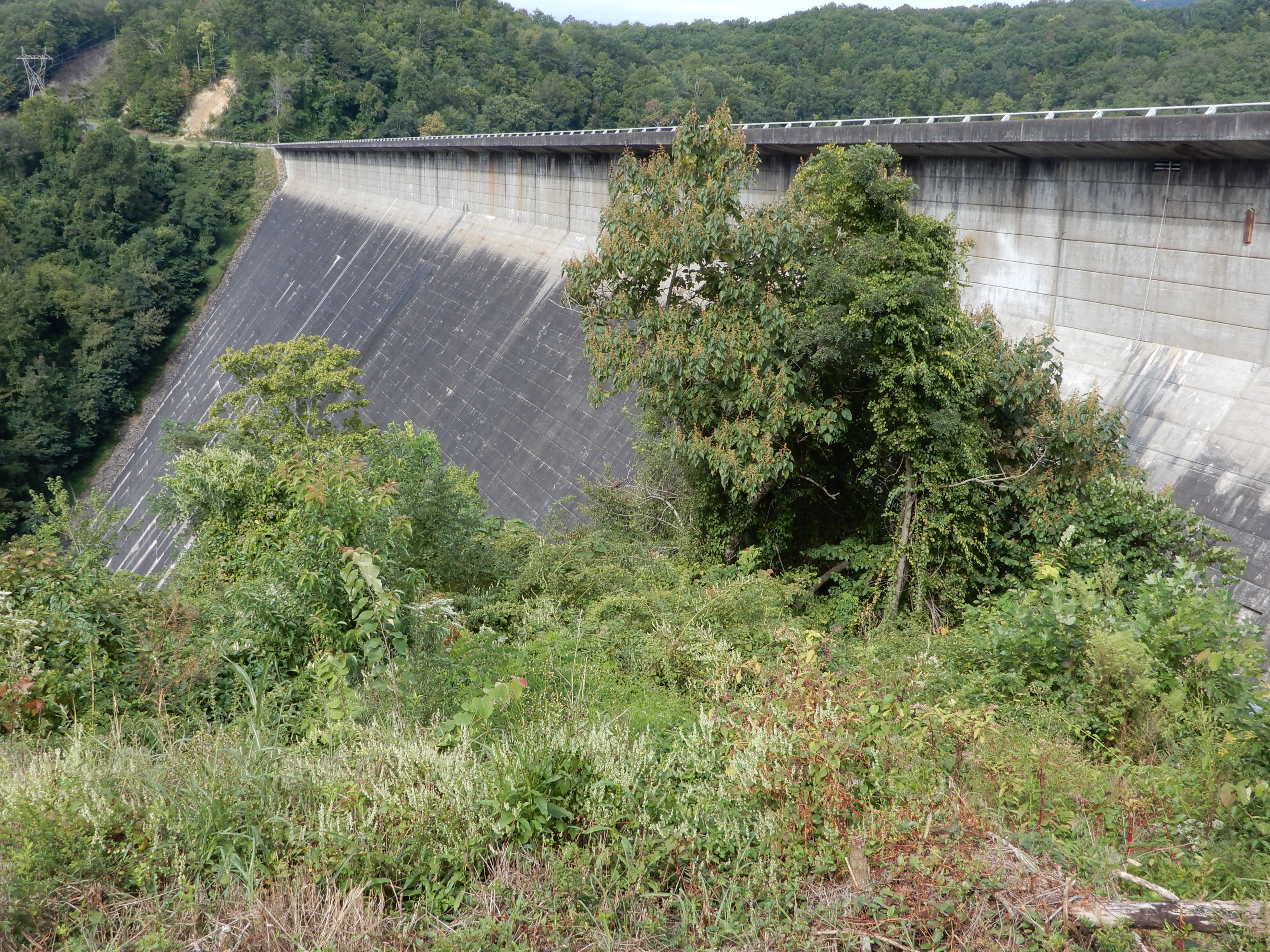
We drove across the dam.
We drove on into the park.
We drove along the river a long ways. On the way back we stopped by a boat ramp for lunch.
After lunch, we drove deeper into the park.
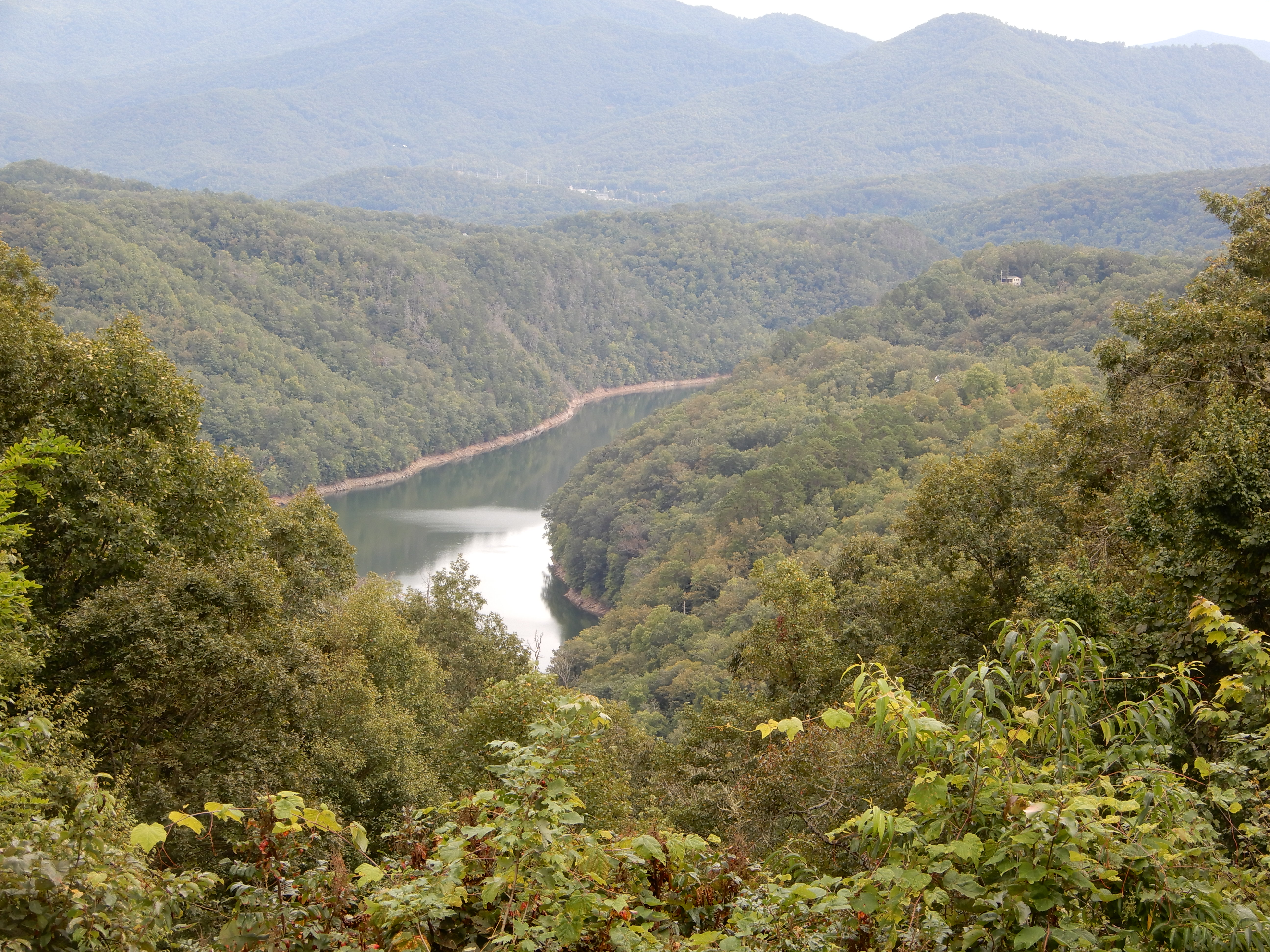
We got high enough we had a good view down on Fontana Lake.
We drove out of the park, then headed east from Fontana to Bryson City. We got a site for 2 nights at Grumpy Bear Campground outside of Bryson City since it was supposed to rain for 2 days.
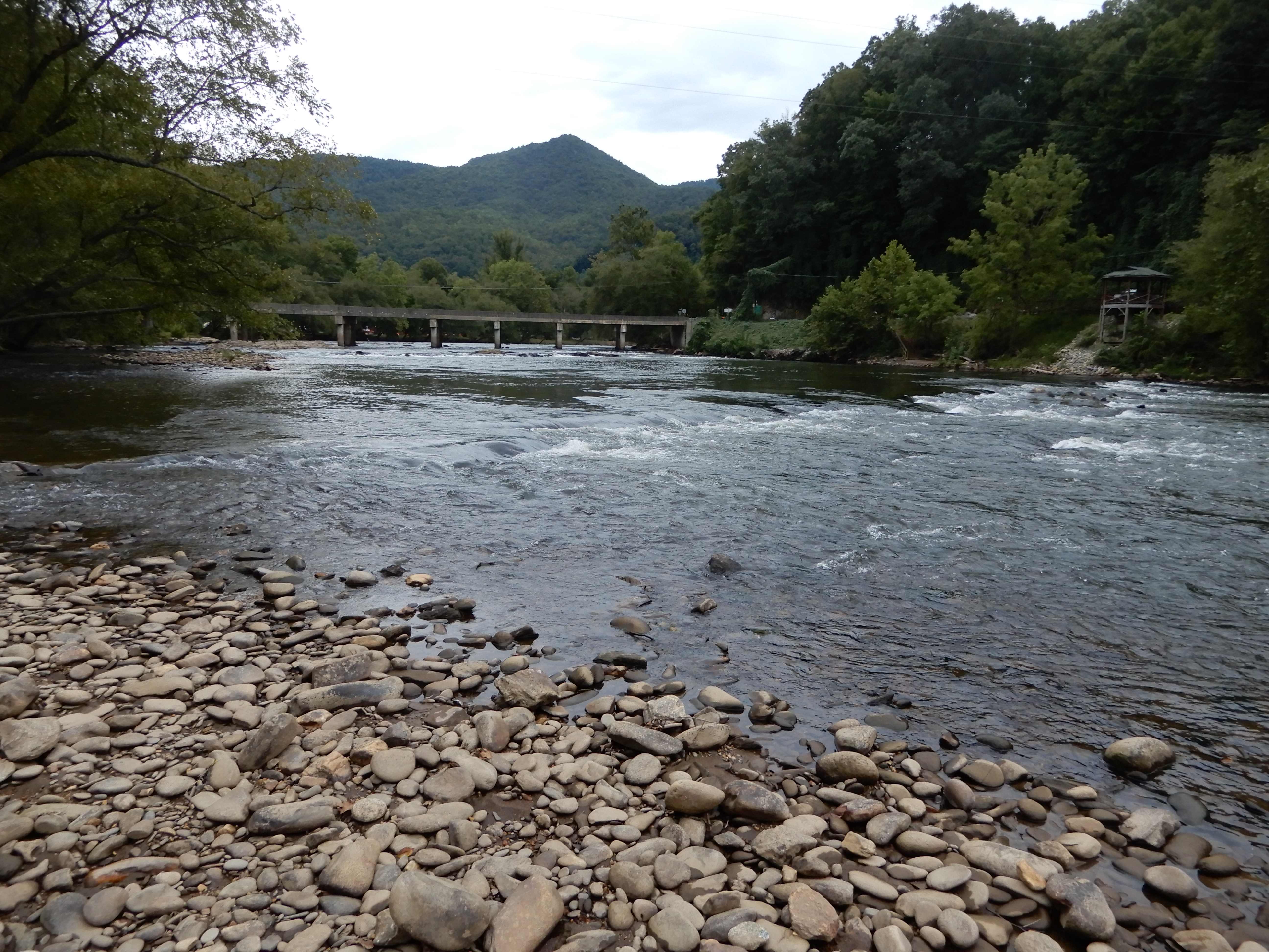
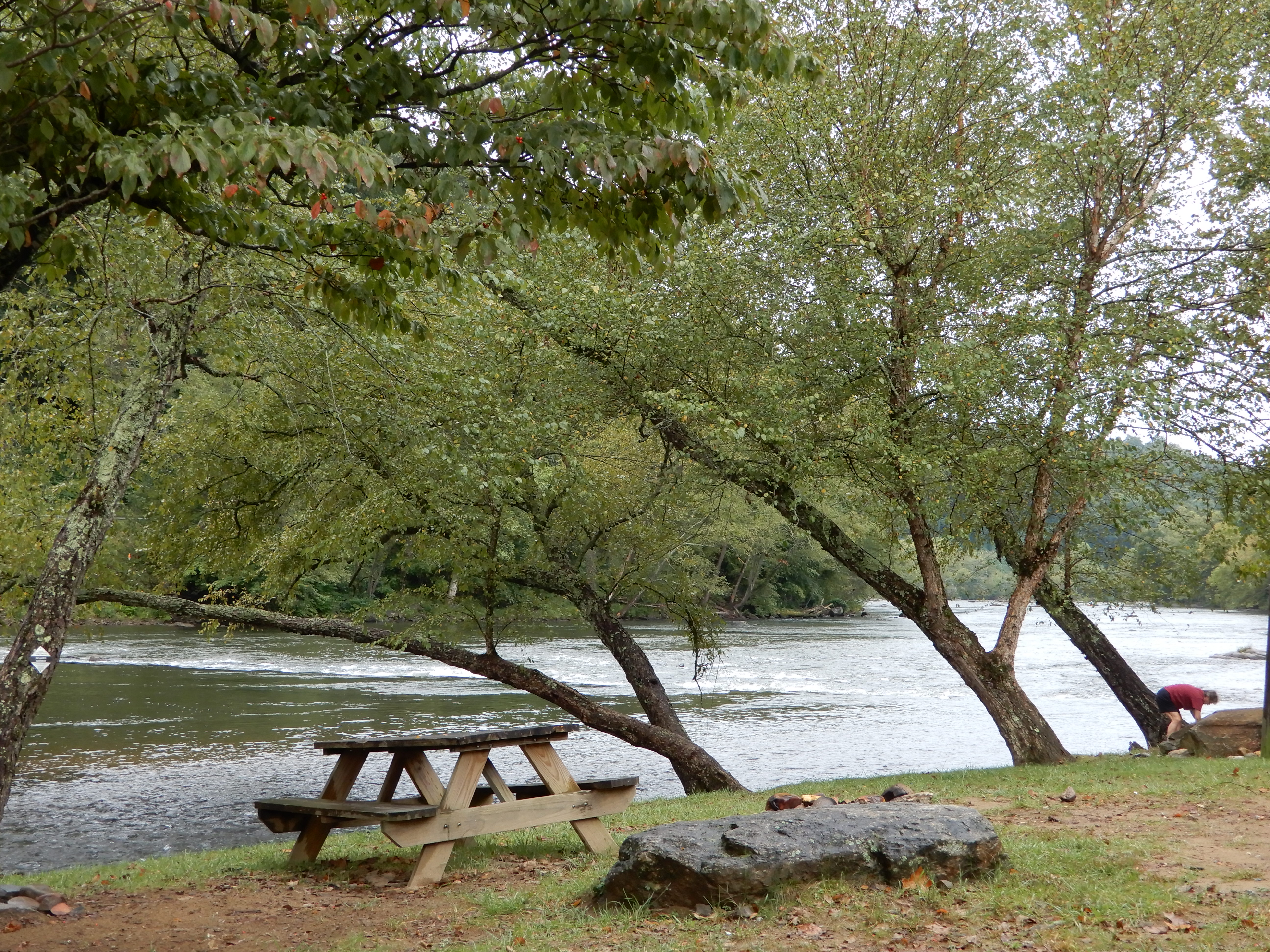
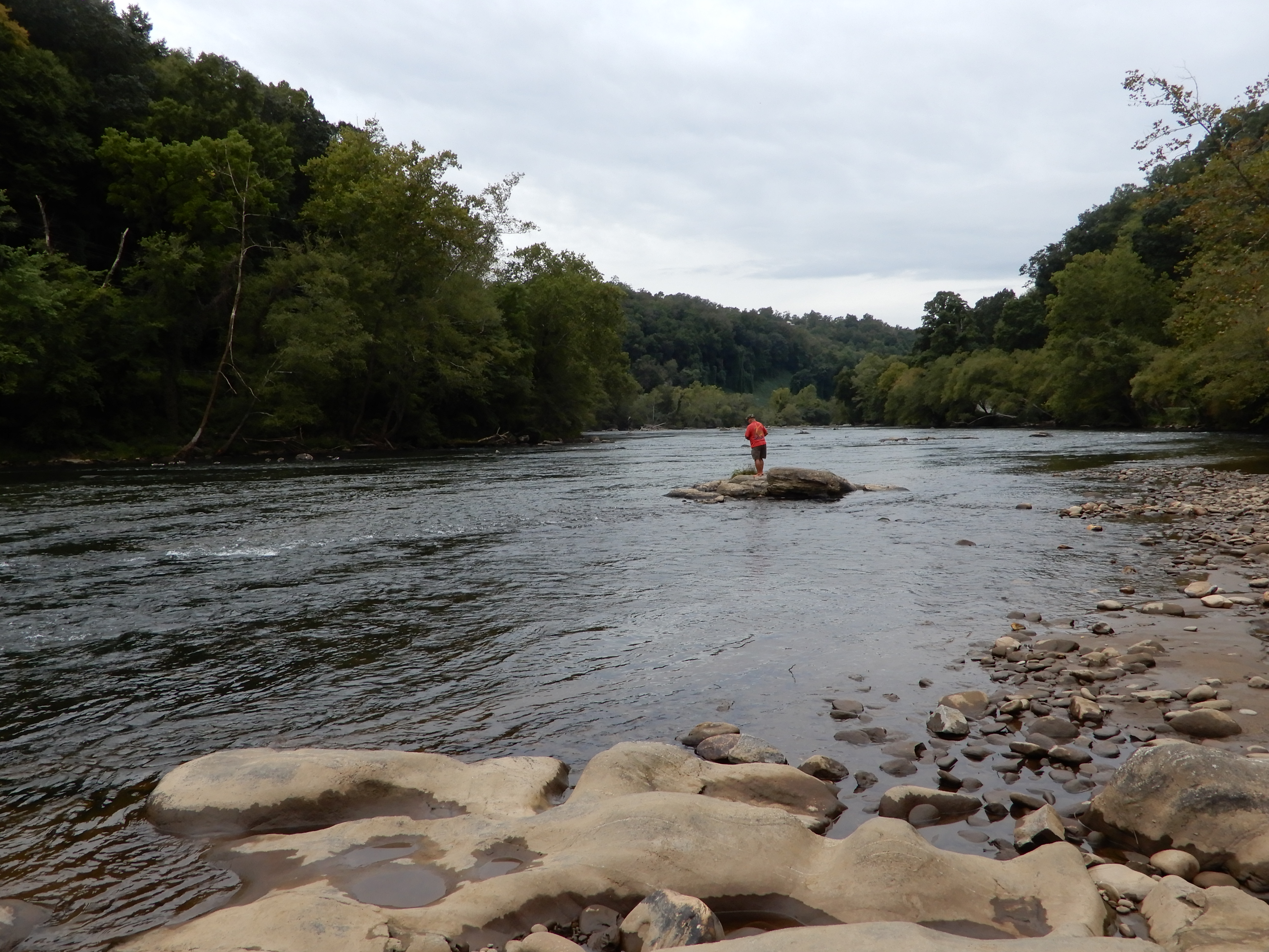
The river we were camped on was scenic.
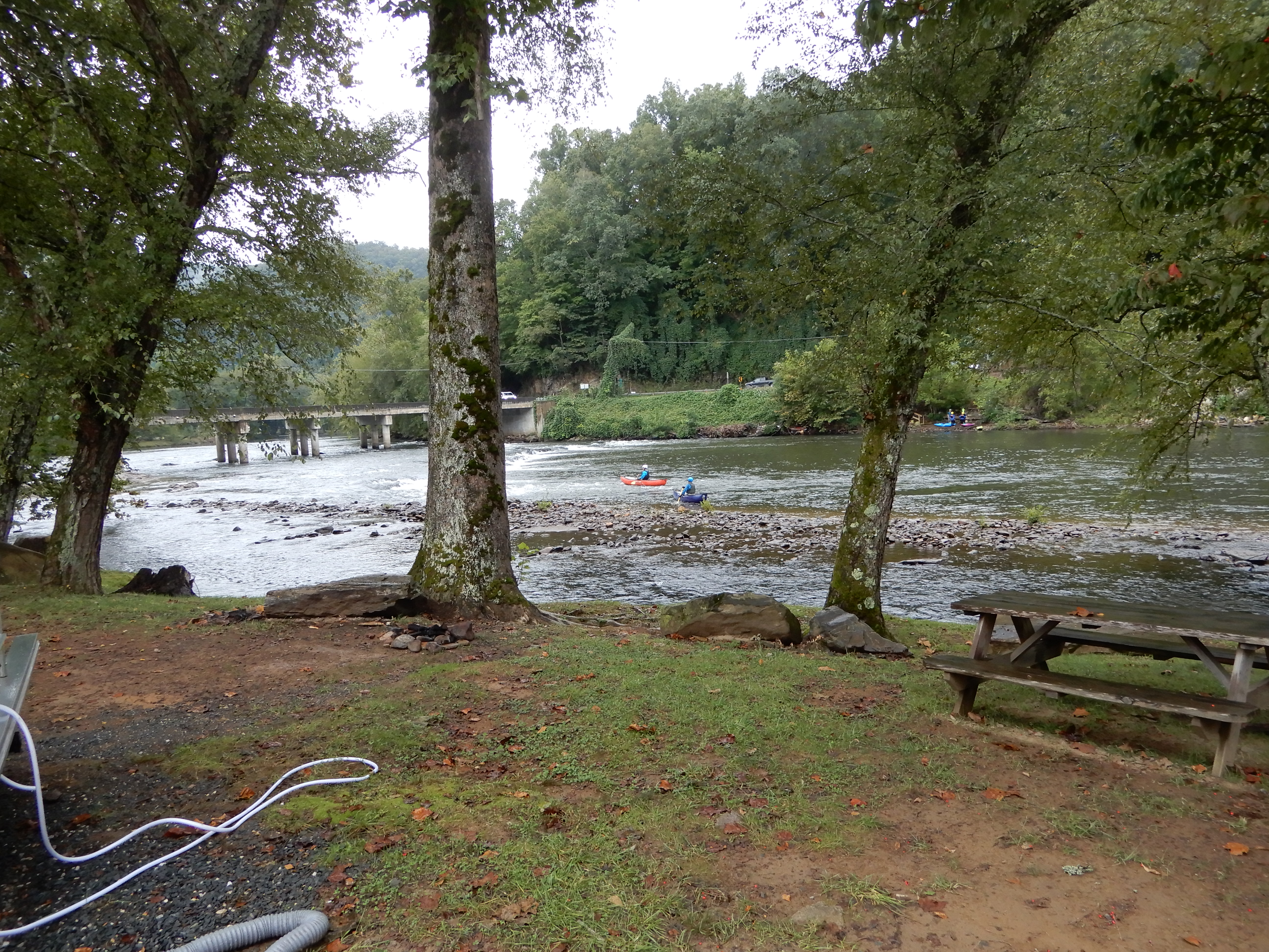
There were people fishing.
And kayaking.
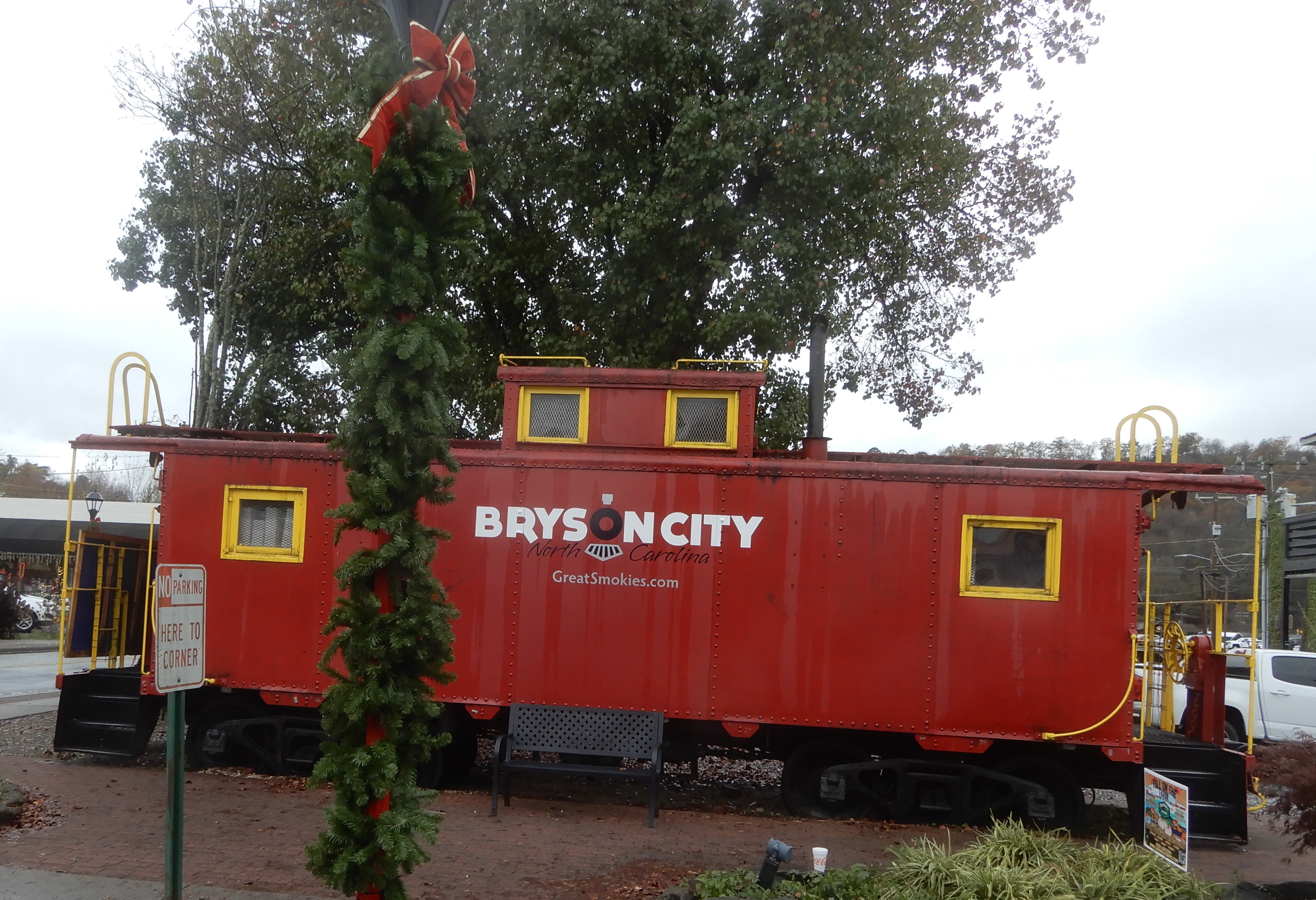
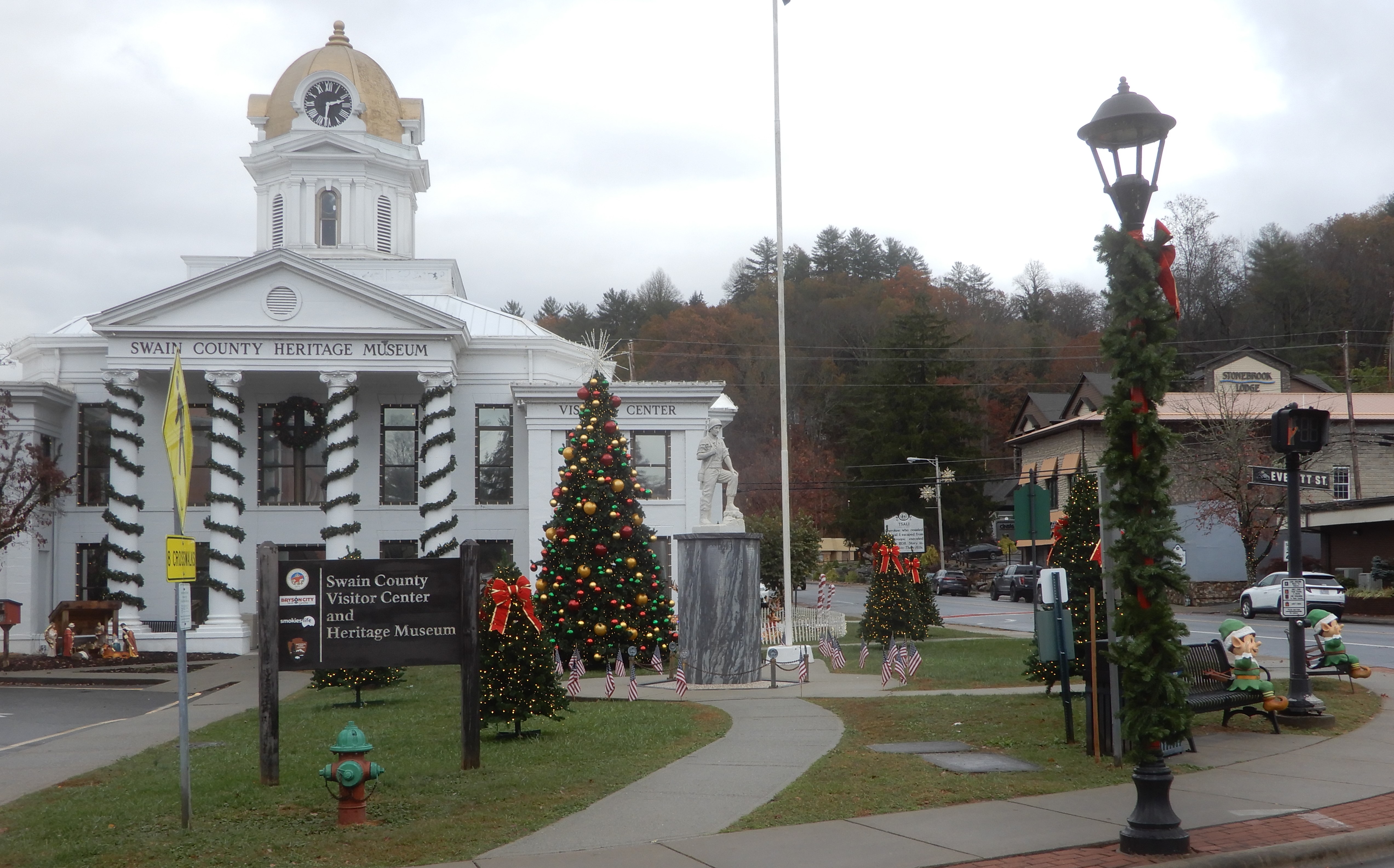
We rested a while, then drove through Bryson City.
Then back into the Park.
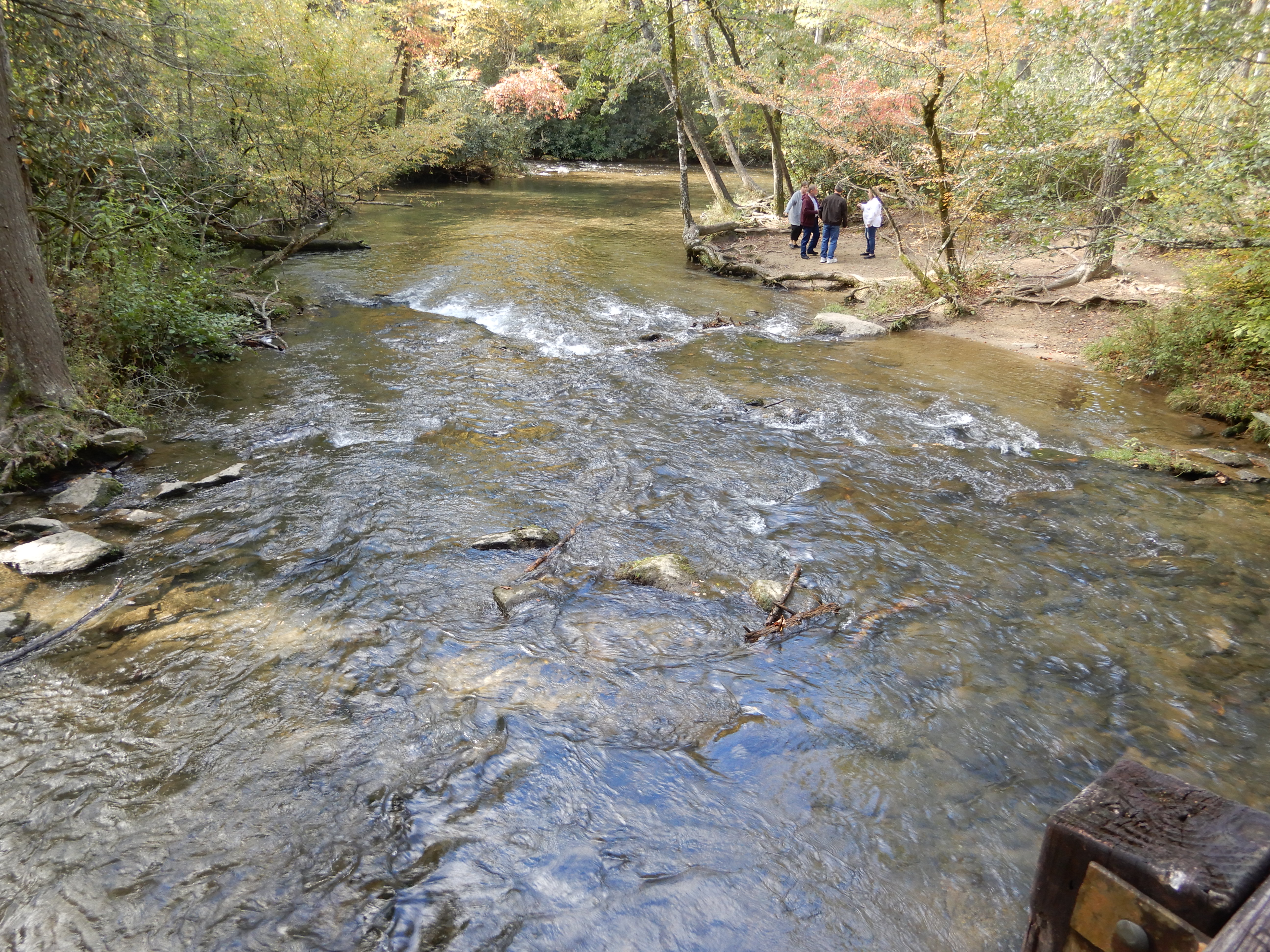
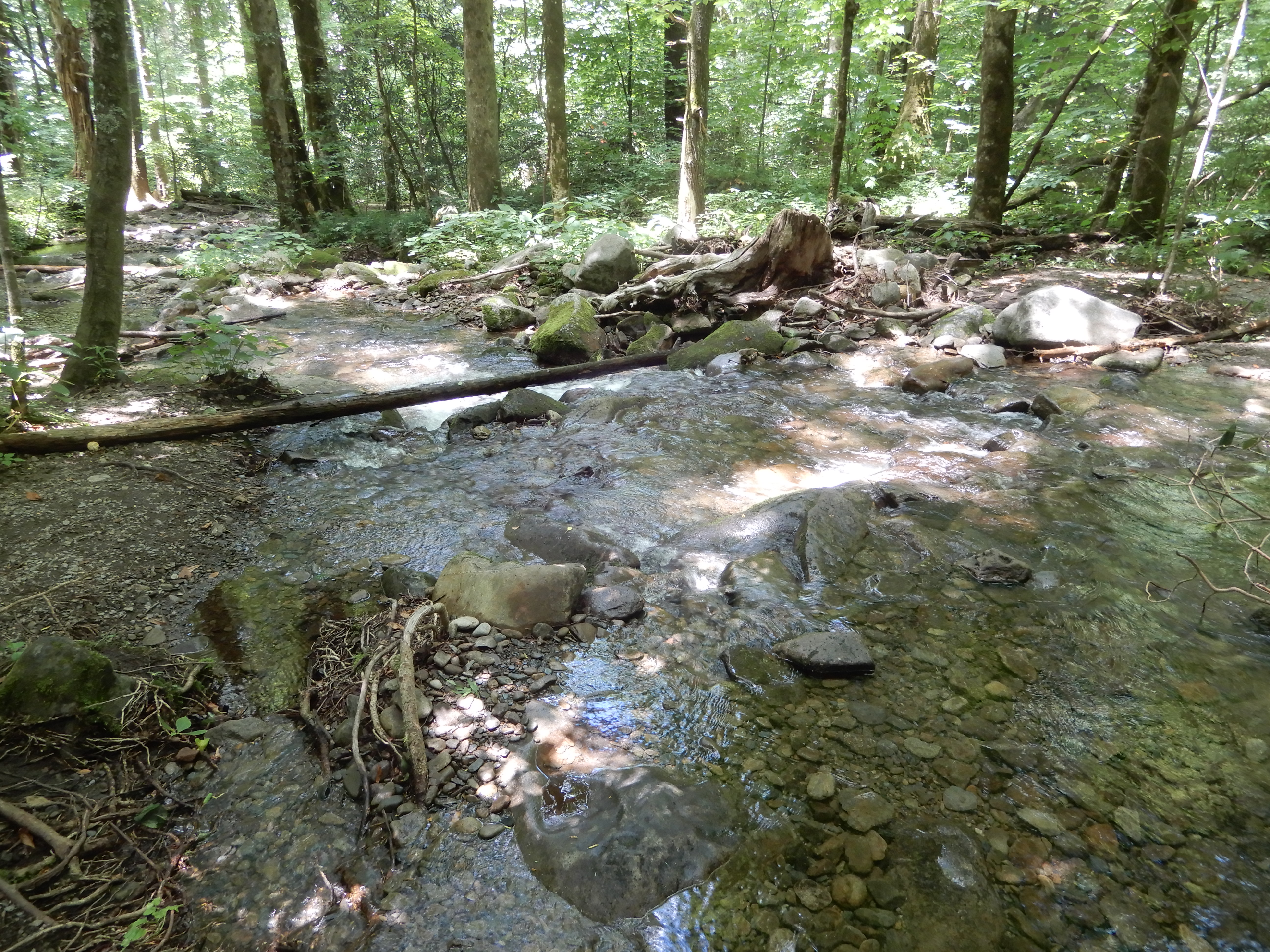
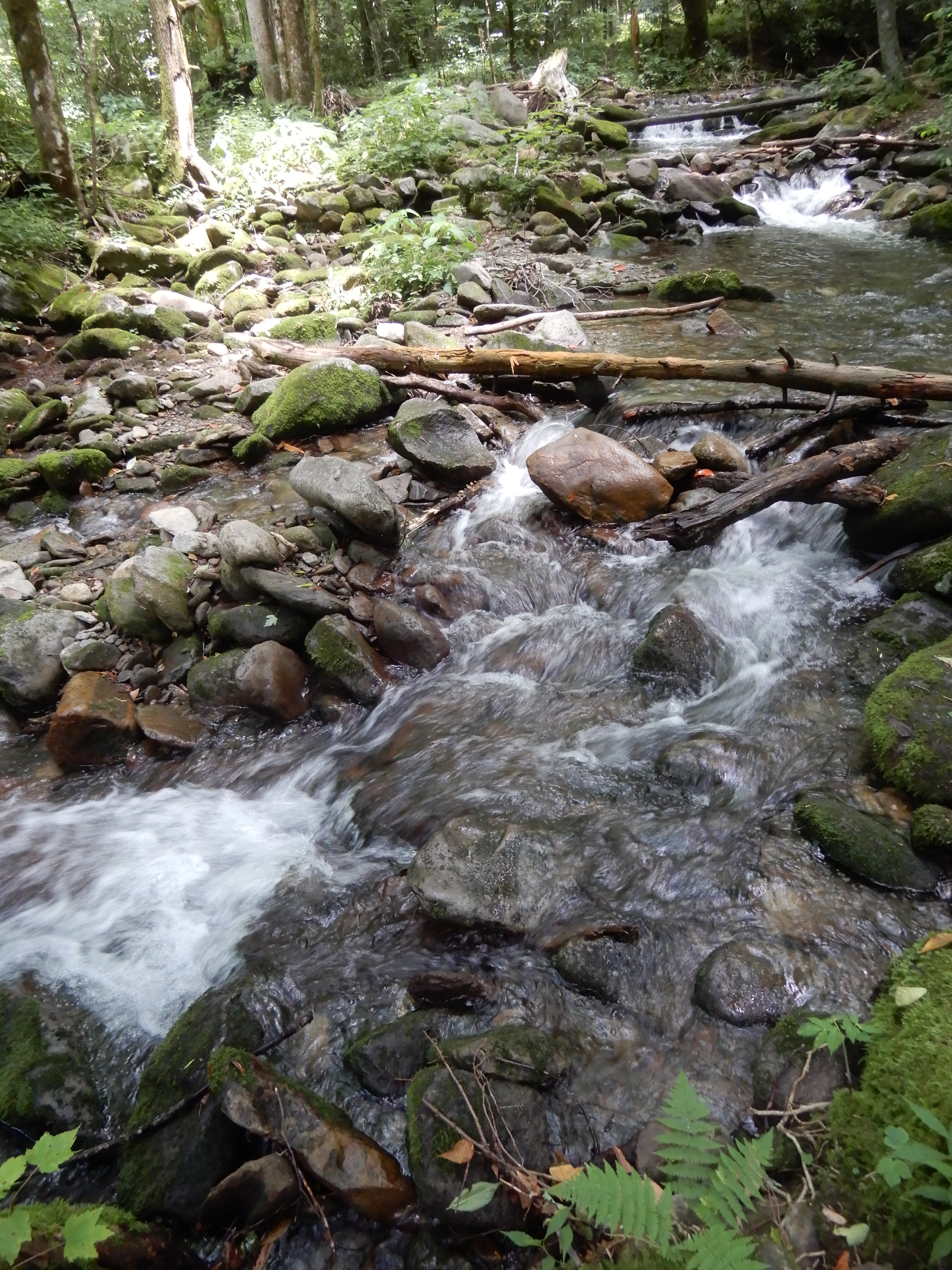
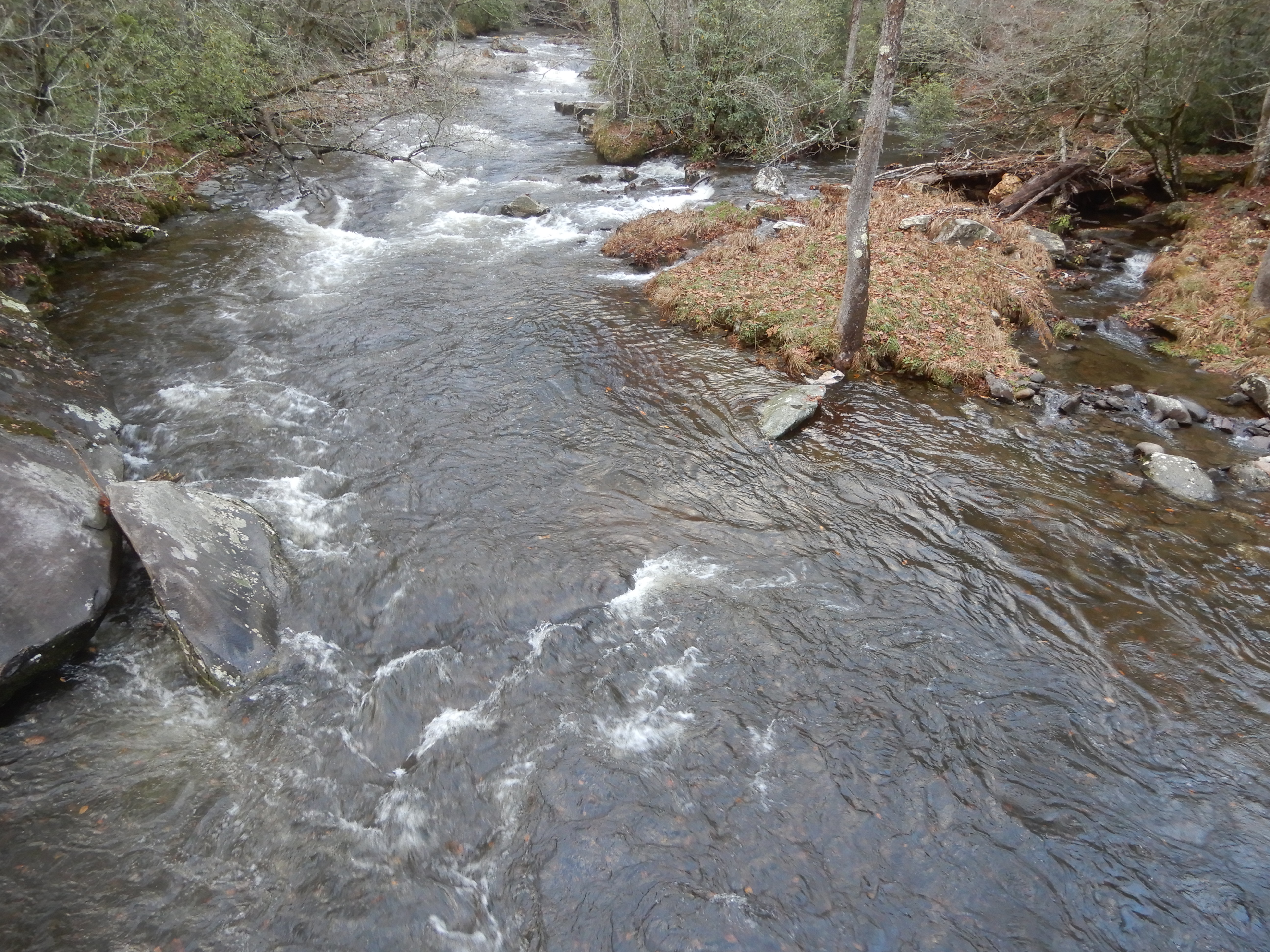
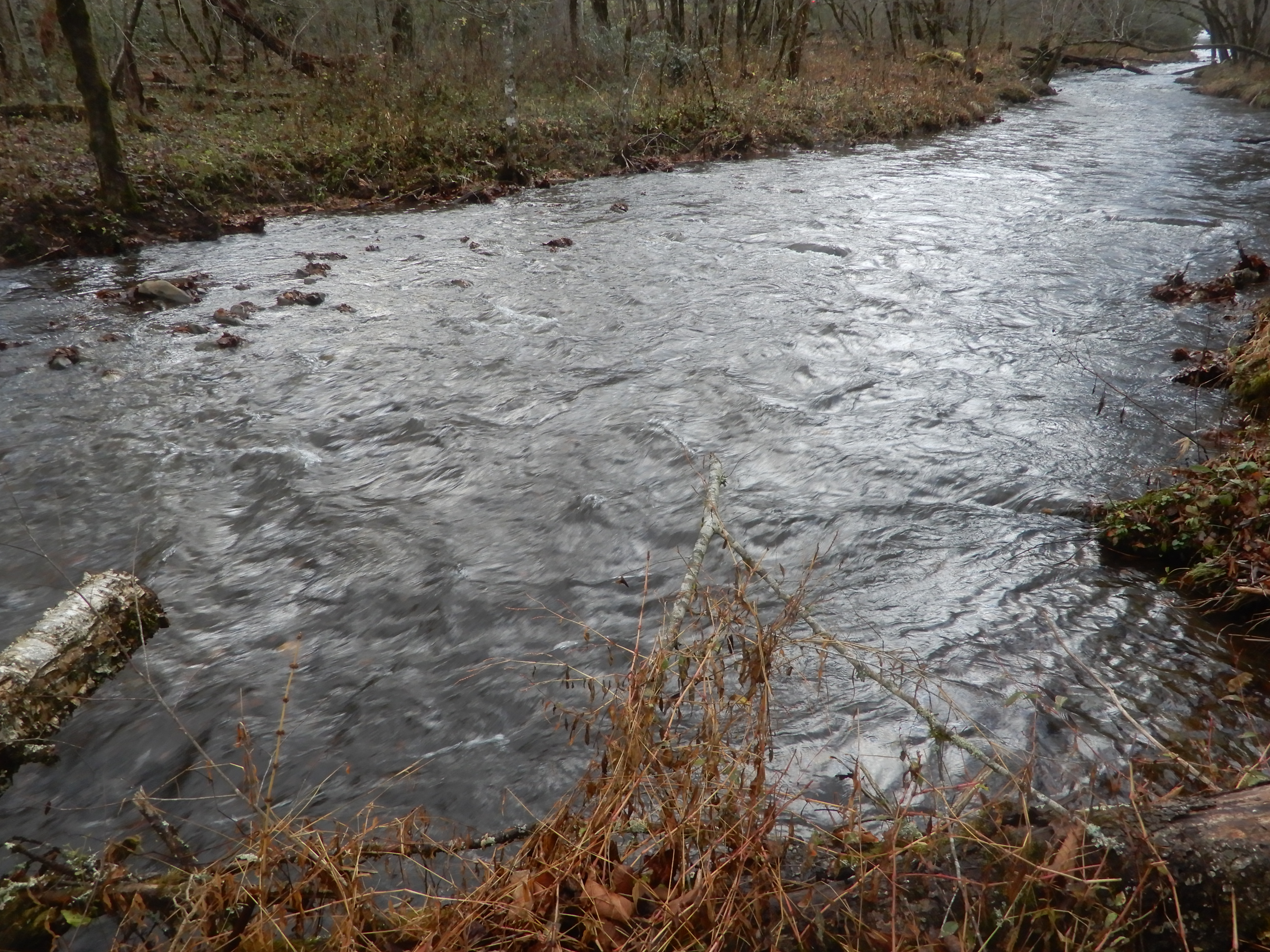
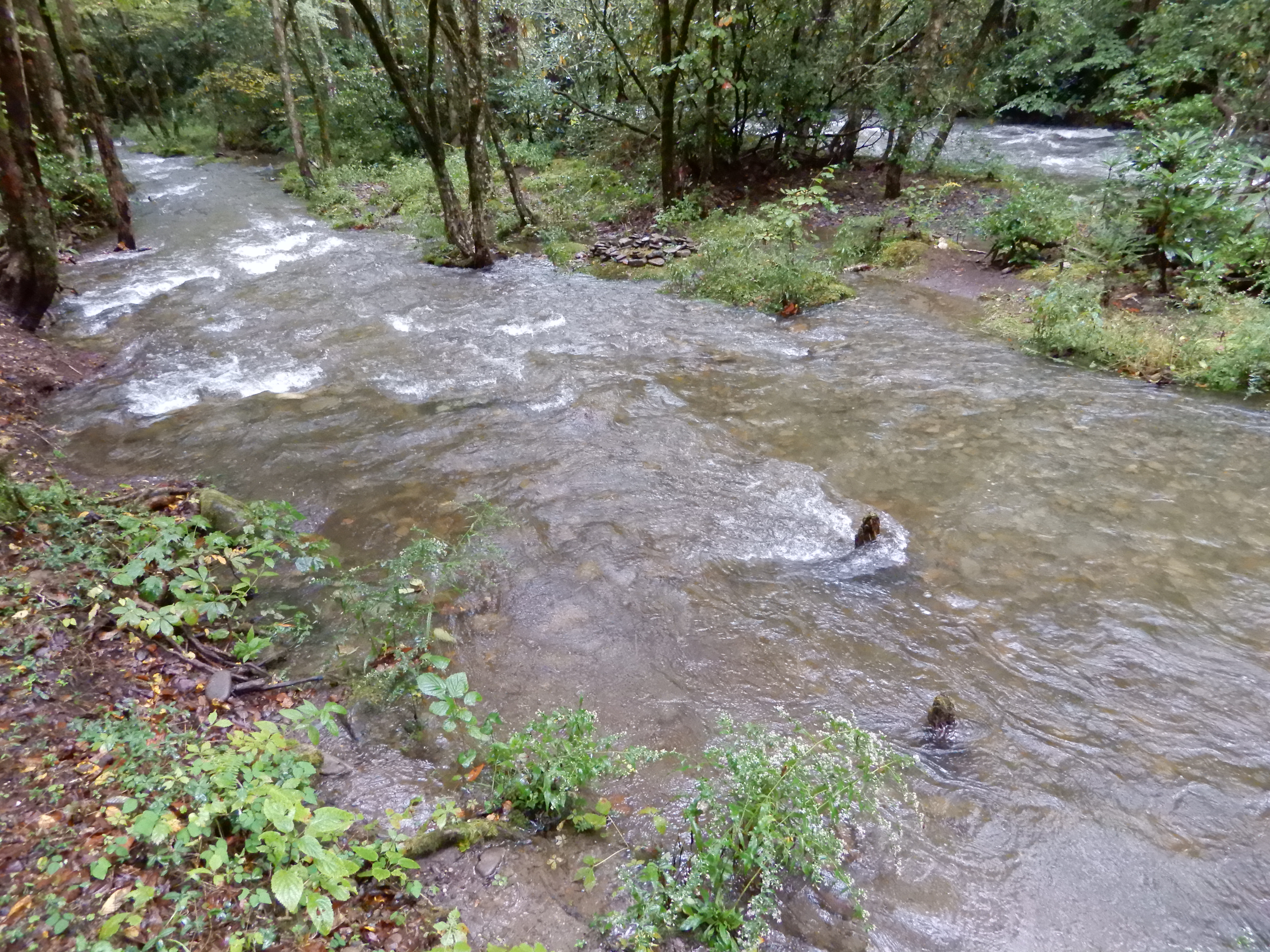
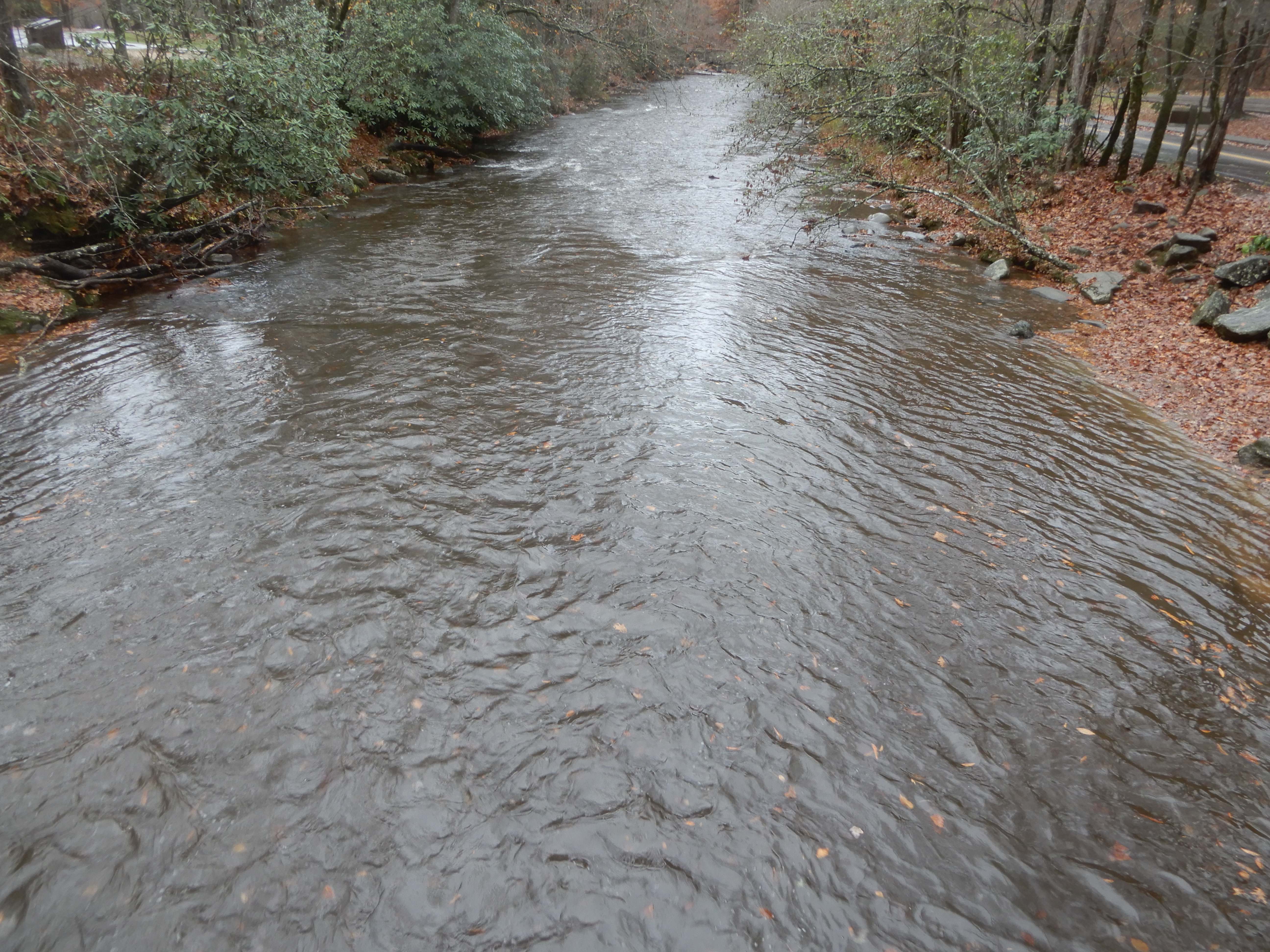
Where like everywhere else the waters were raging from all the recent downpours.
We drove on The Road To Nowhere. The fog really made it look like nowhere. One thing we did see was a bear. It was a baby, climbing over a guardrail to disappear in the trees. Never saw the mother.
We gained elevation the further we drove.
At the end of the road we saw a group of people hiking on into the park, but we’d had enough. We turned around and drove back to our campground and relaxed for the rest of the day.
Next Location:Smoky Mountains National Park, Smokemont Campground, North Carolina
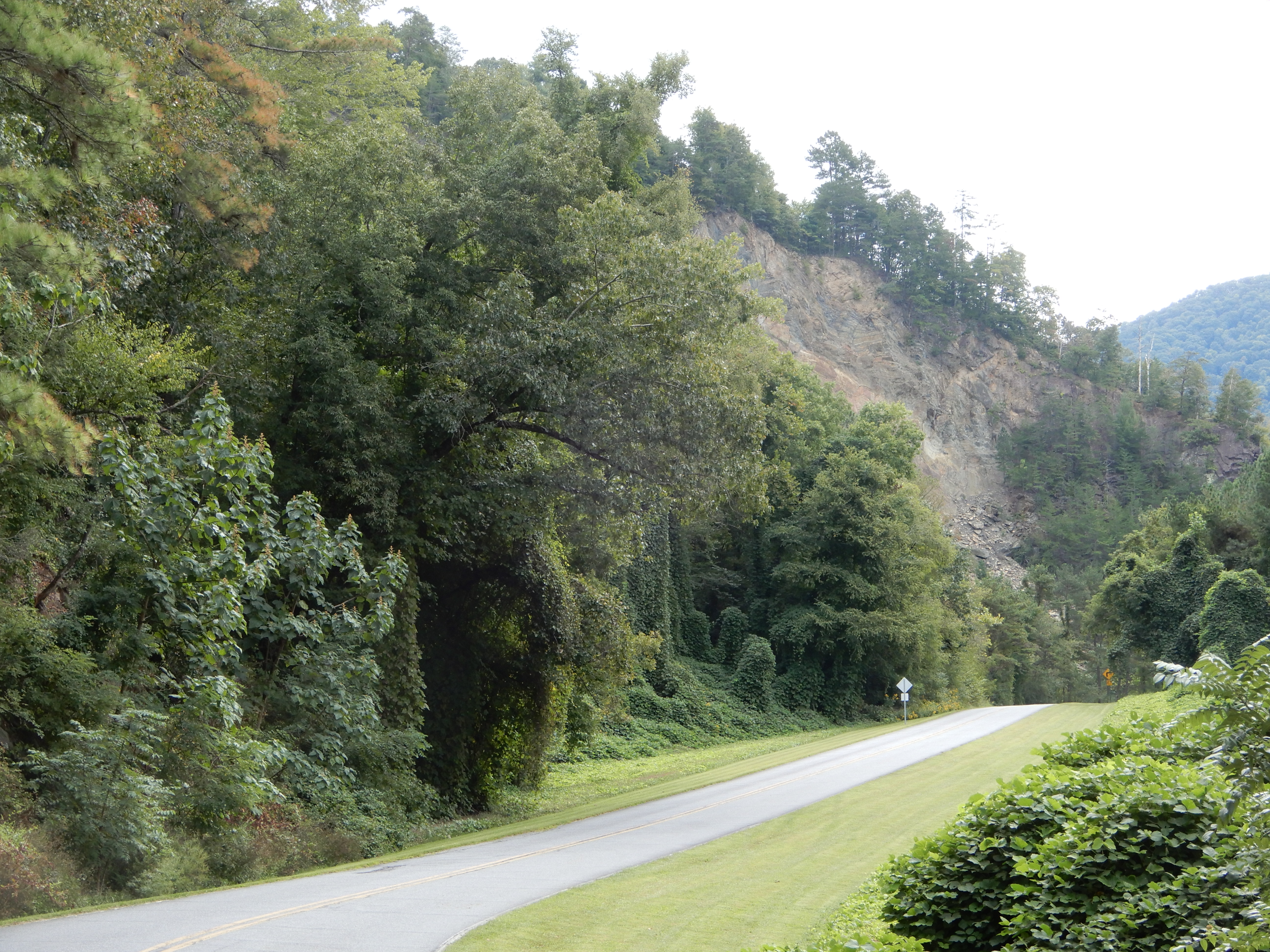
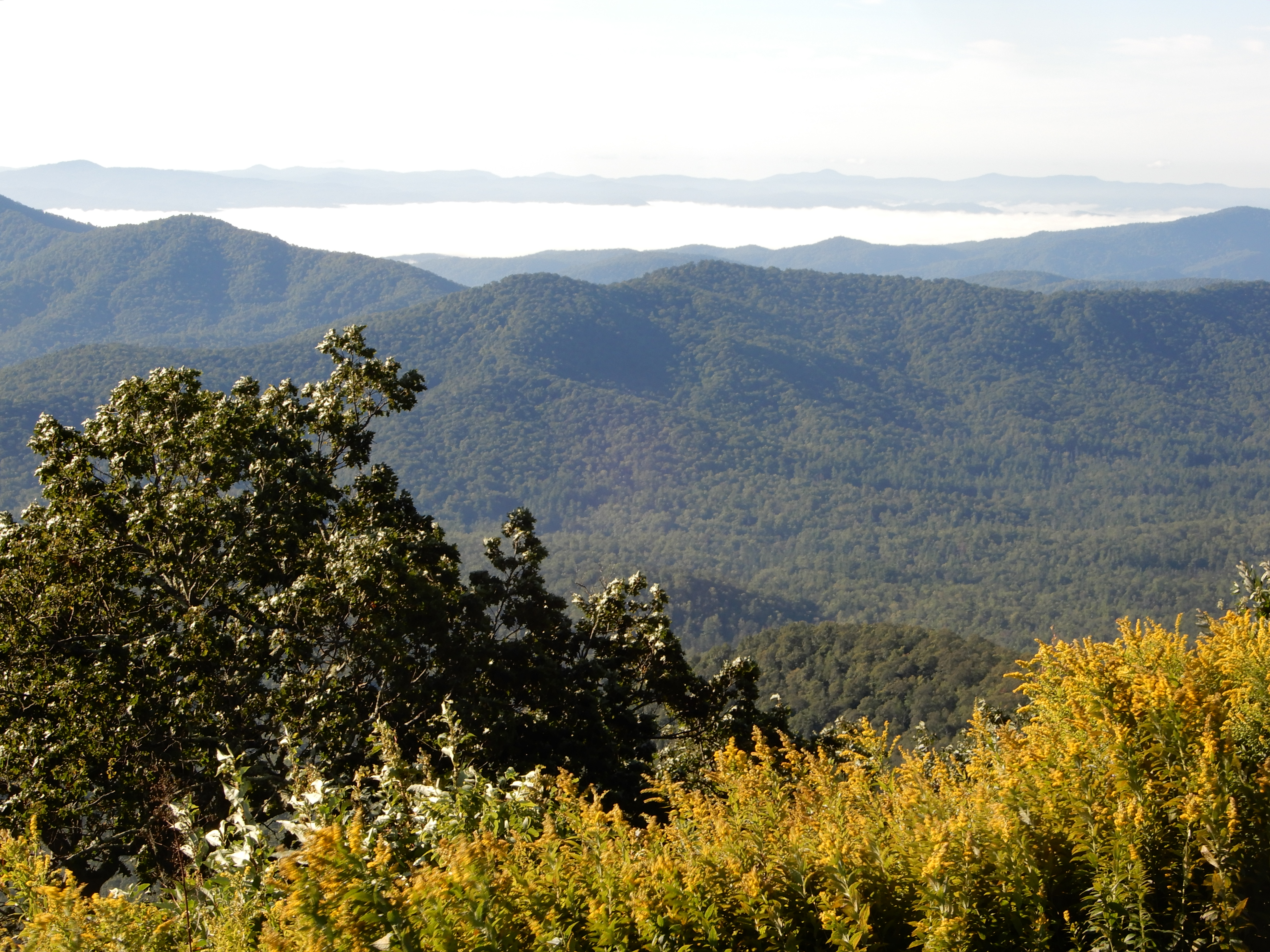
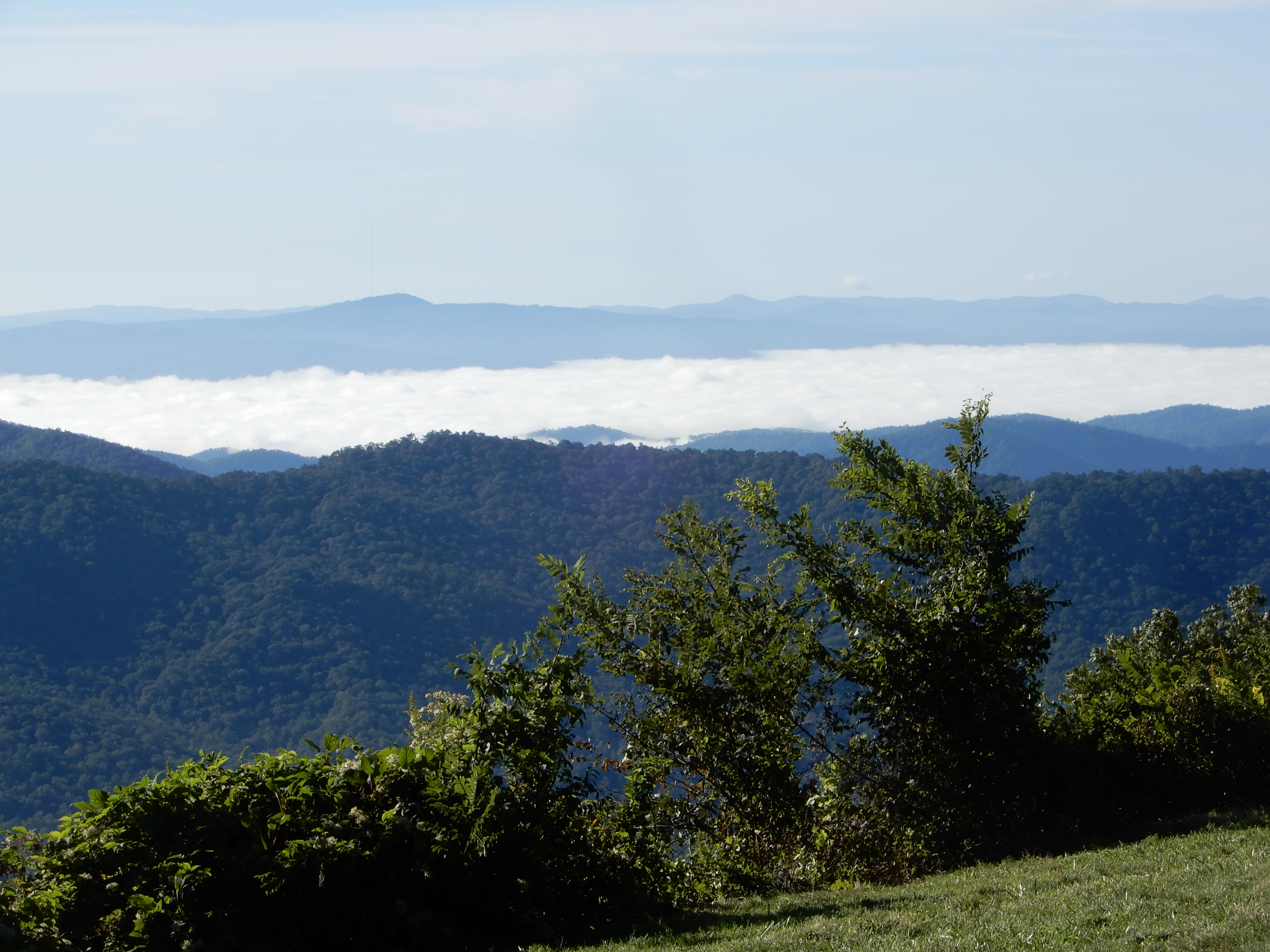
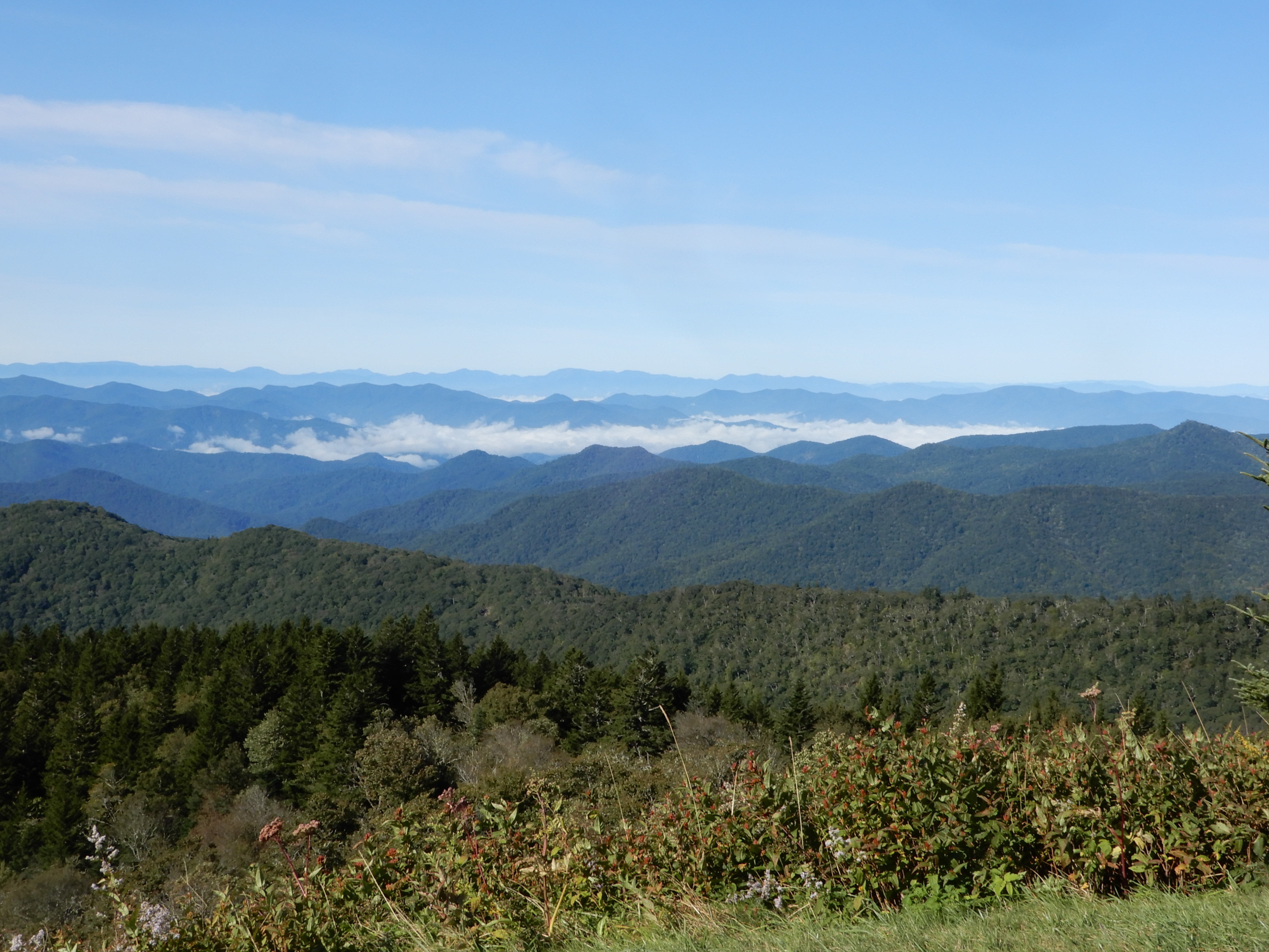
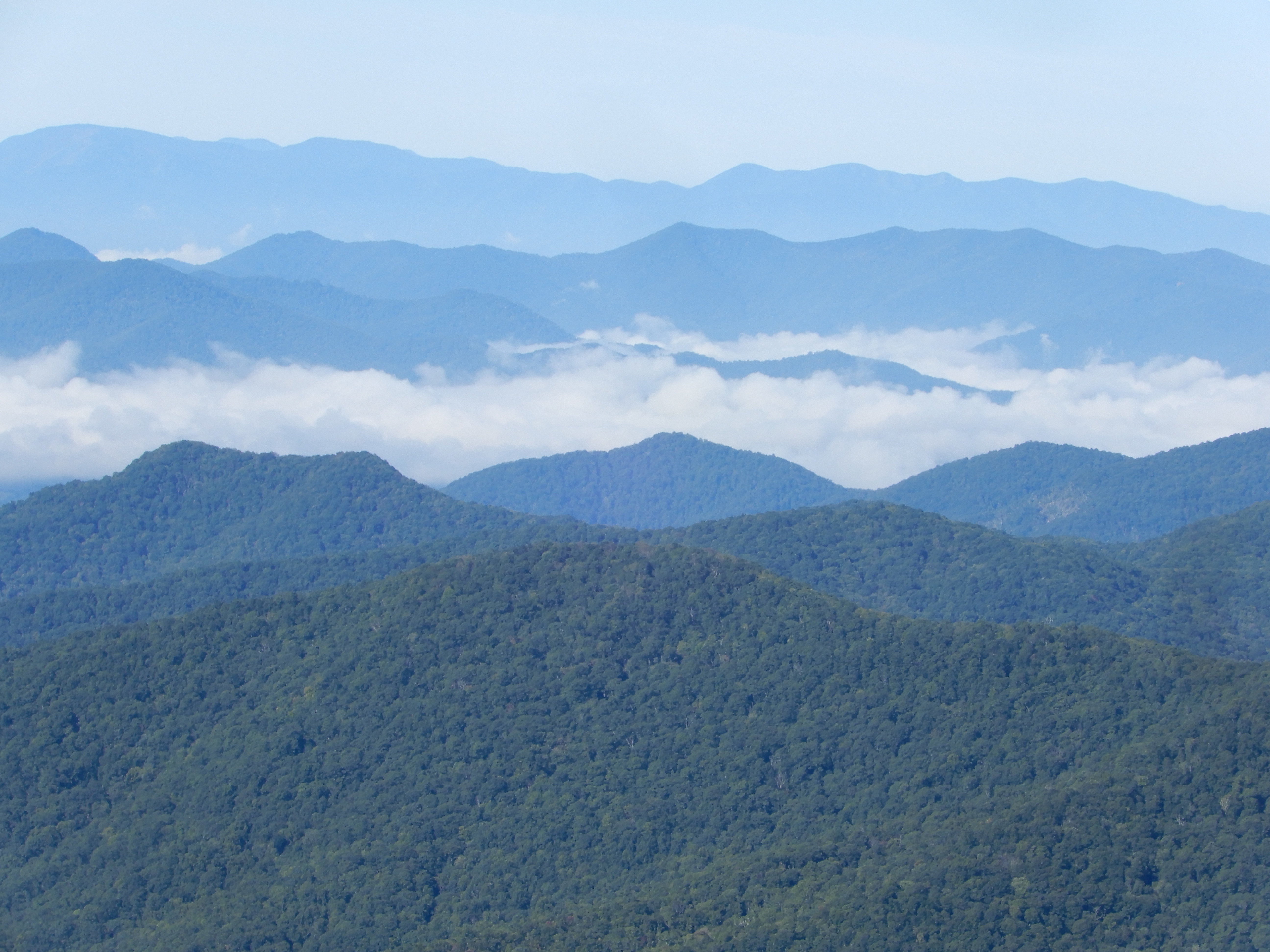
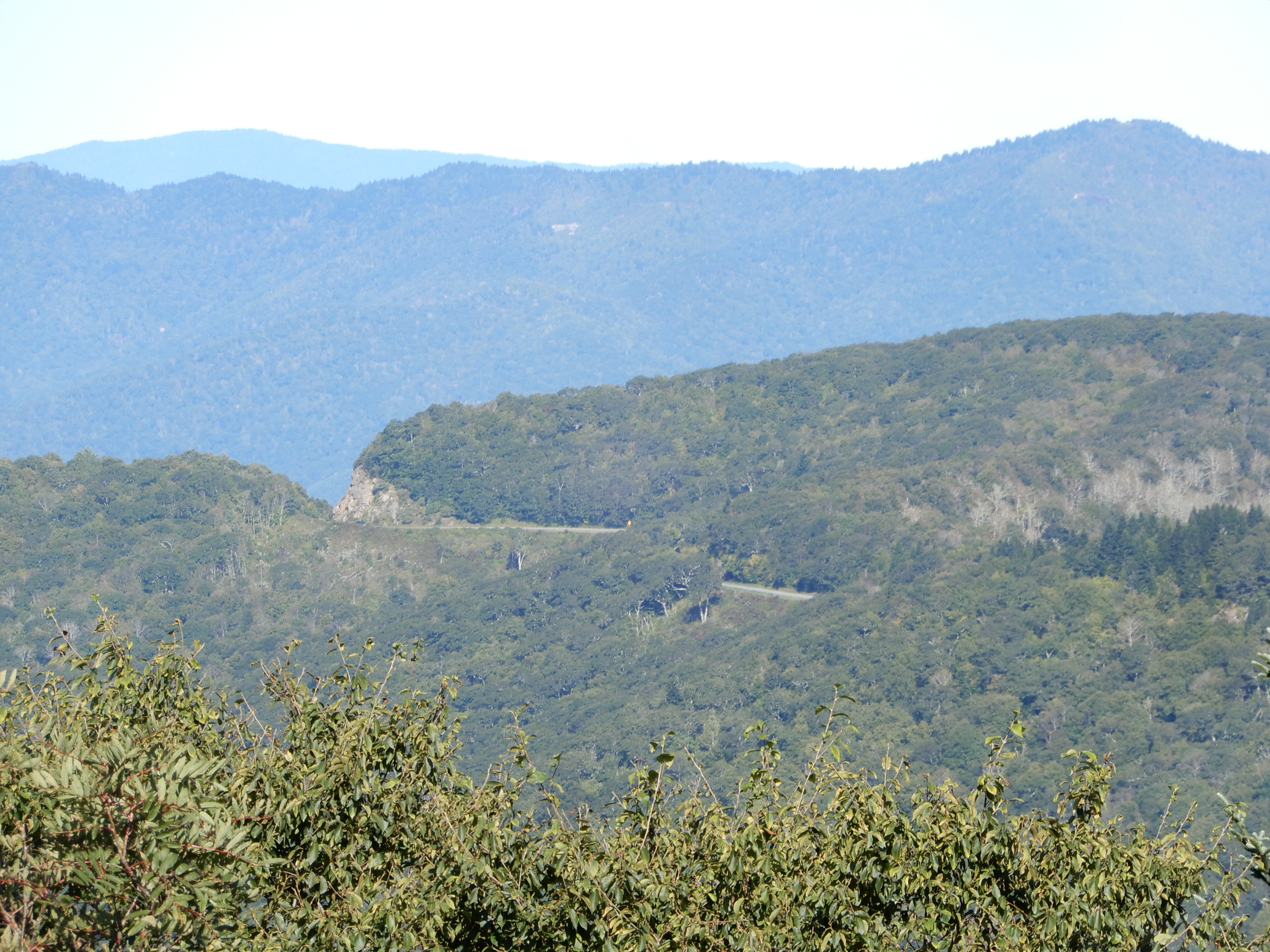
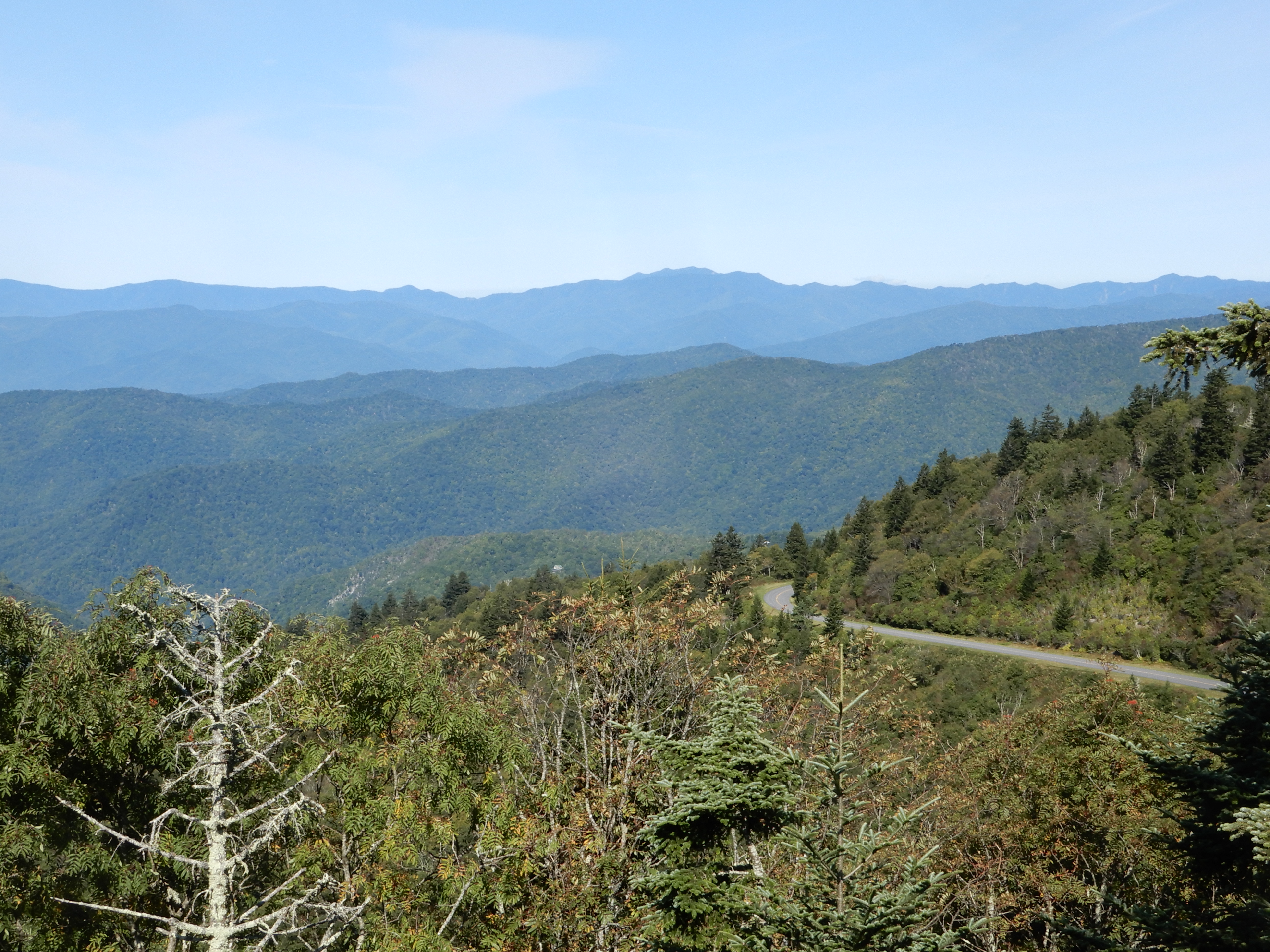
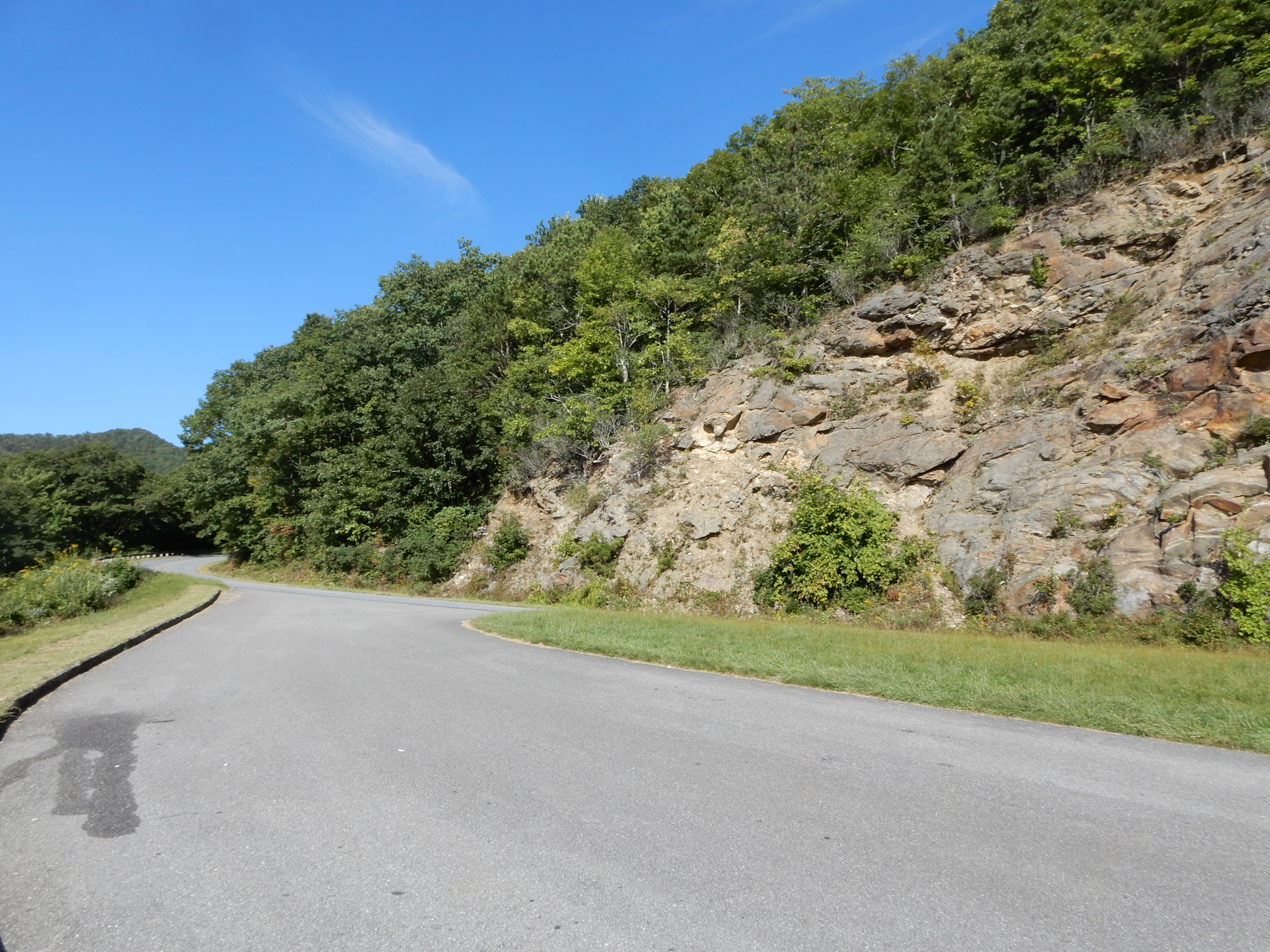
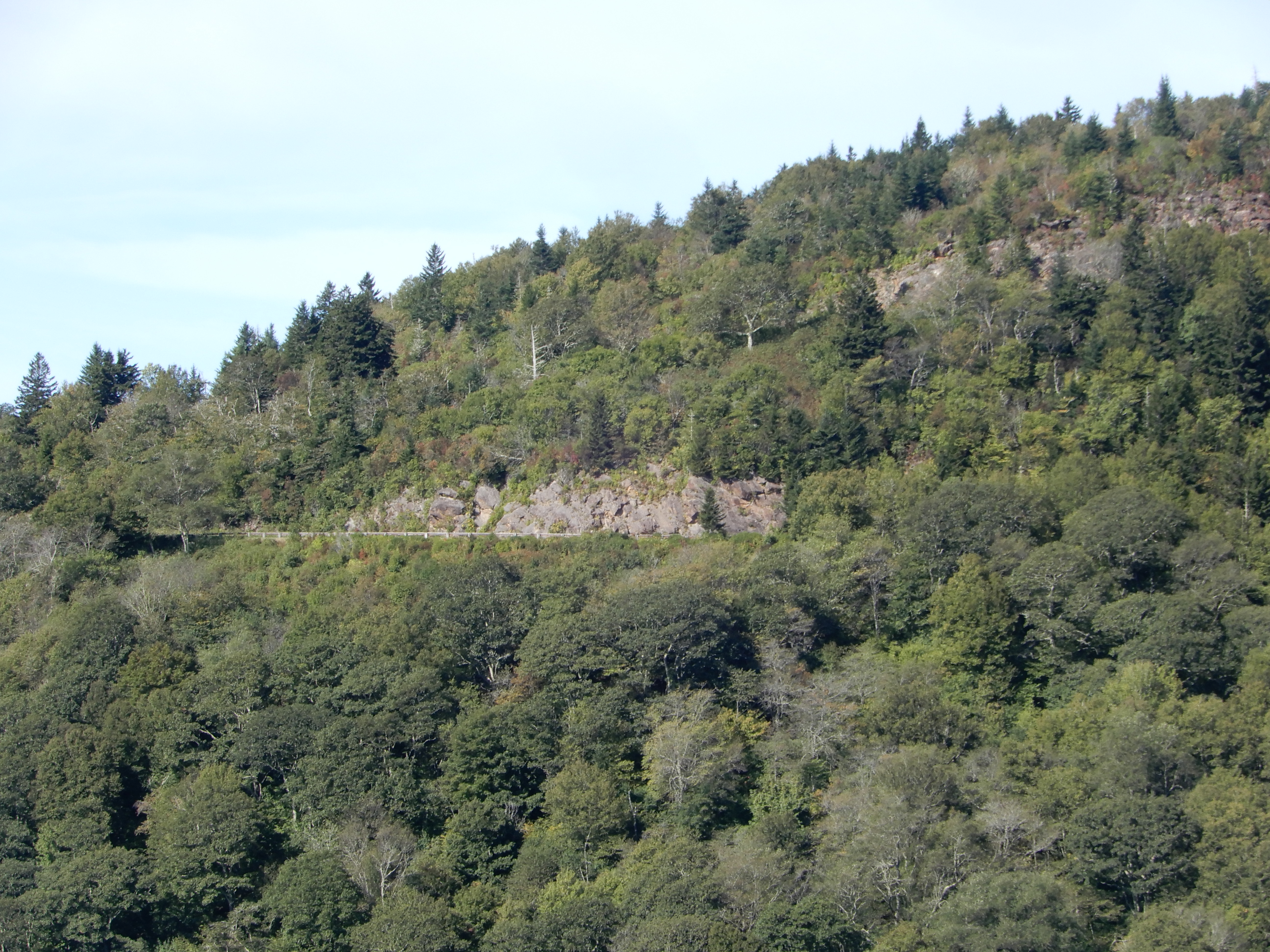
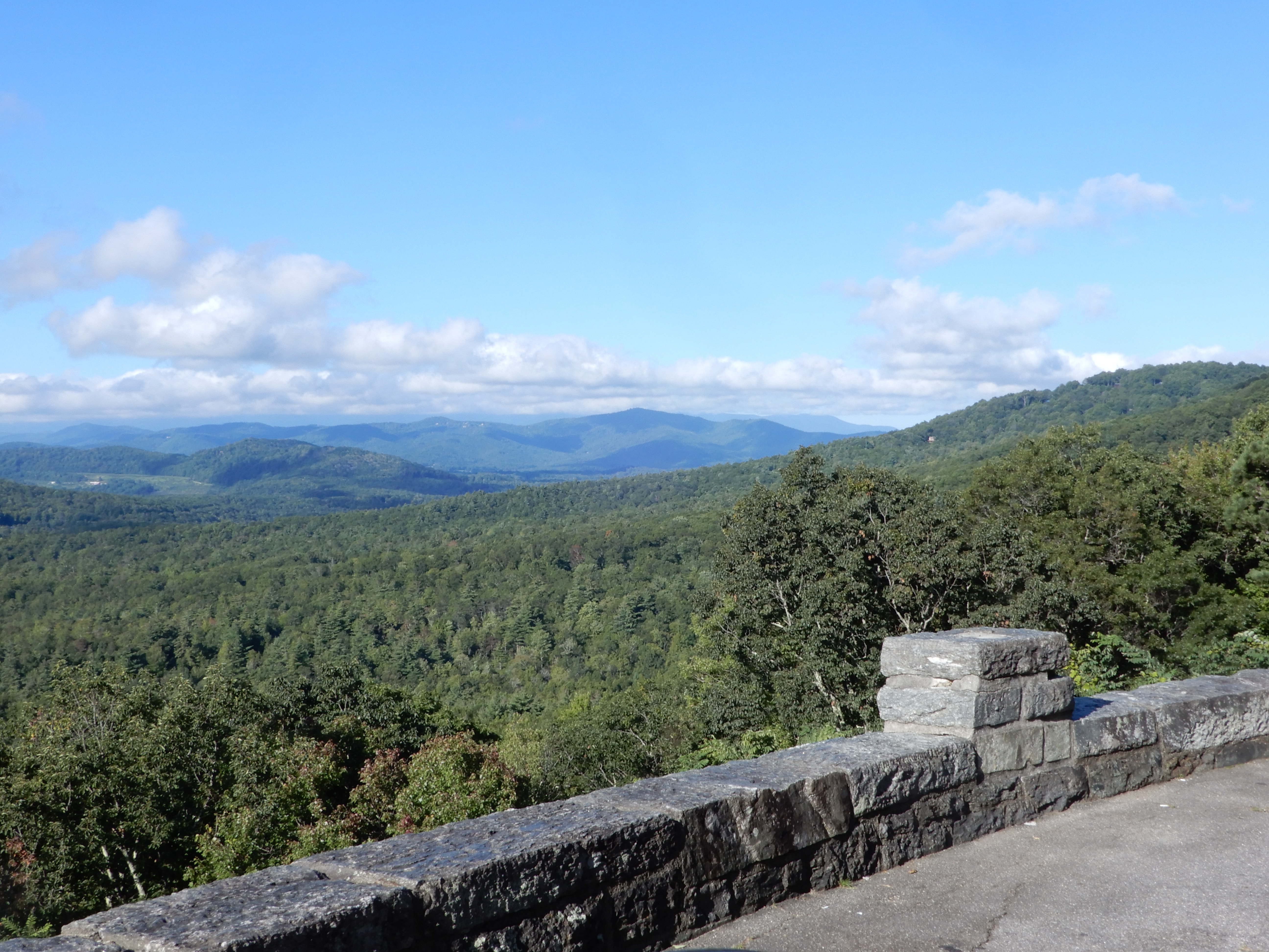
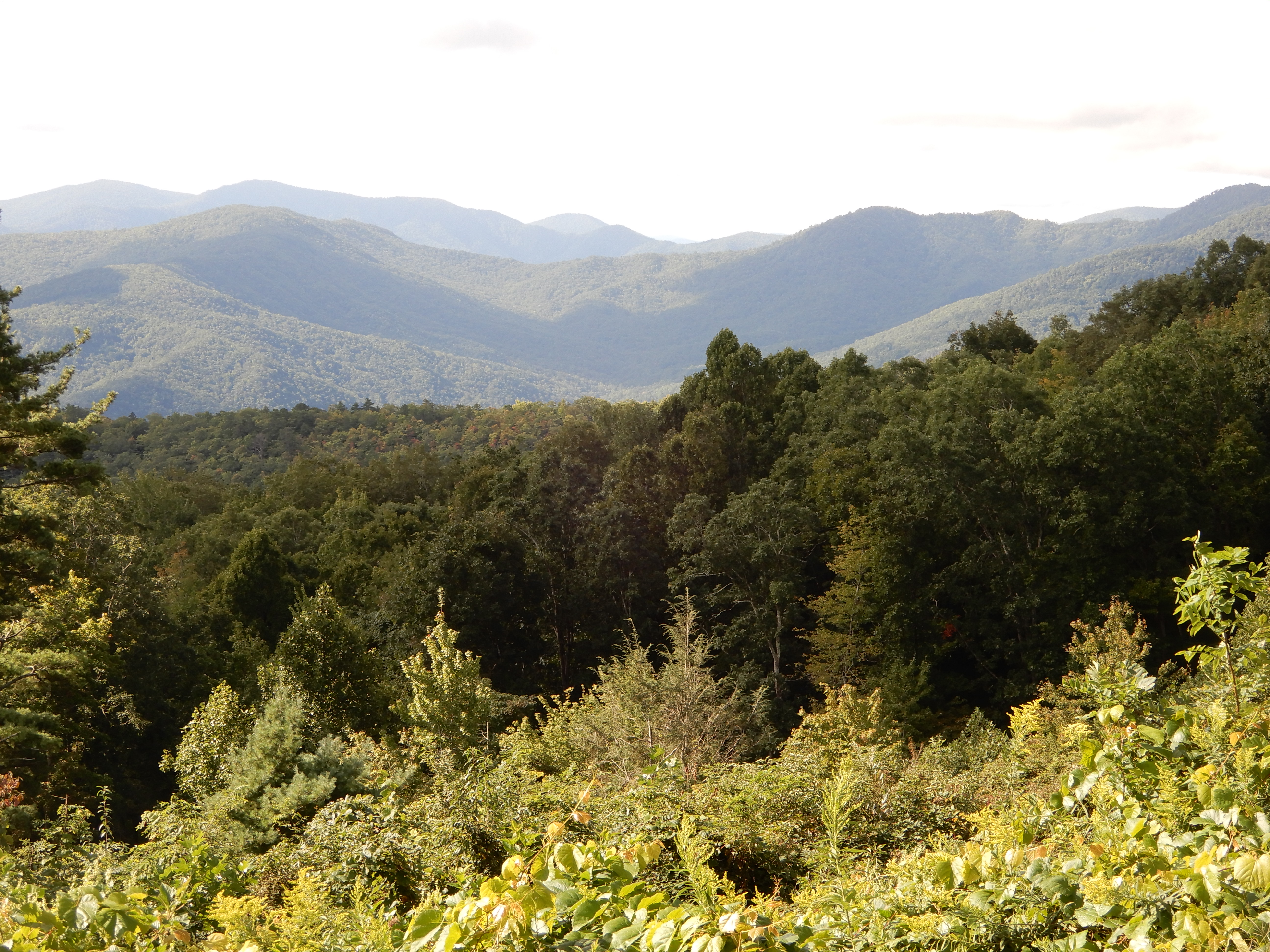
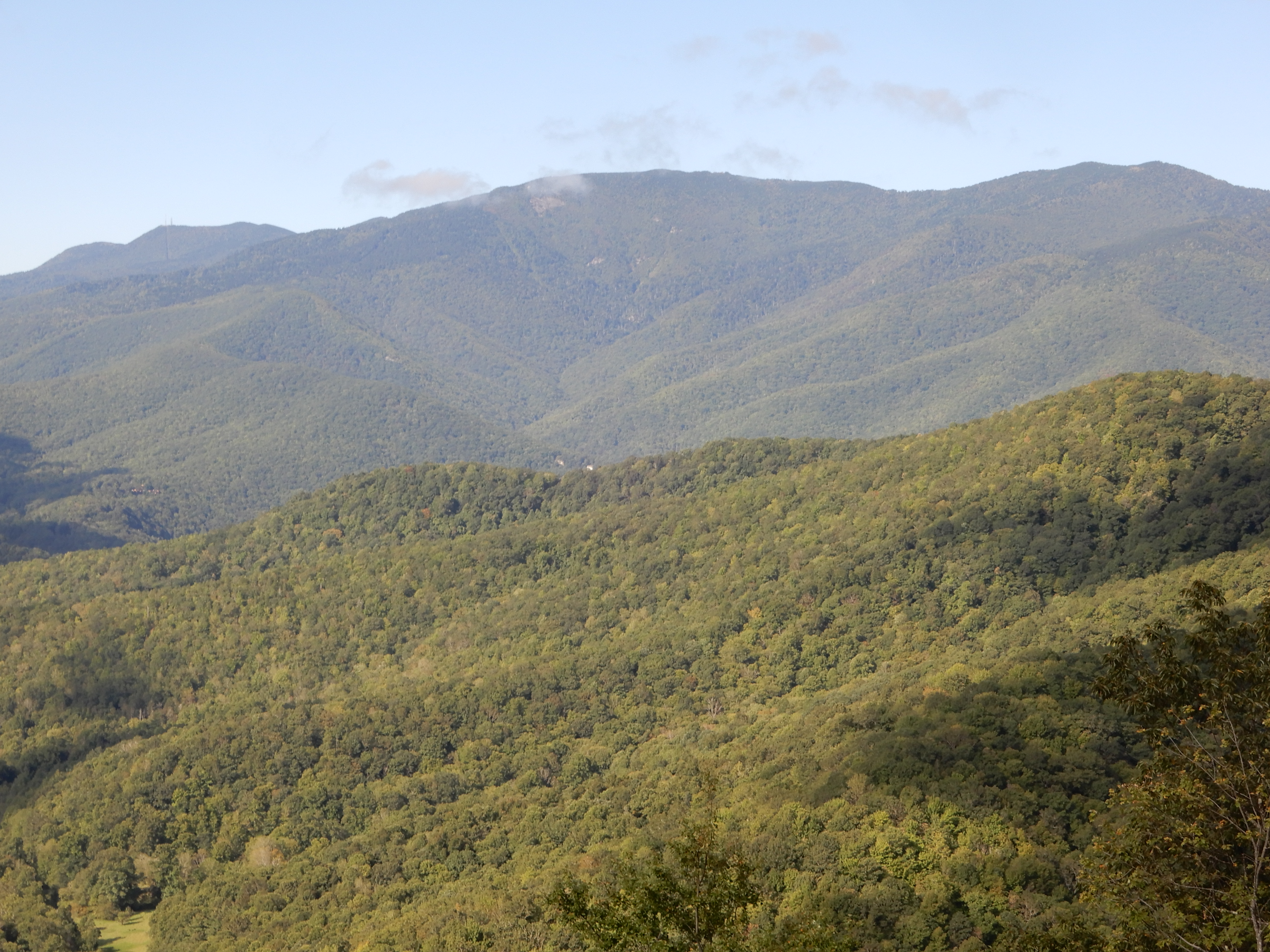
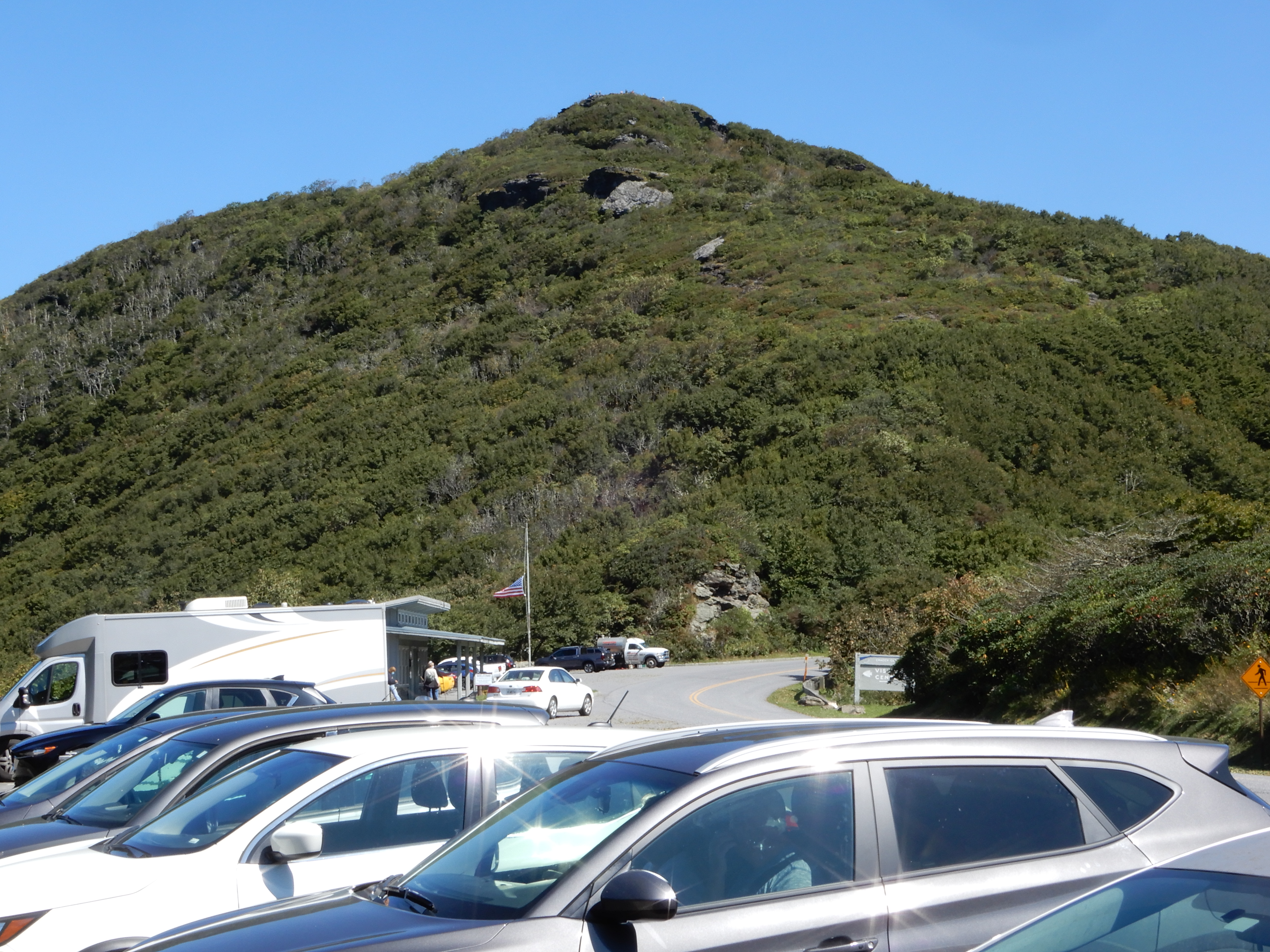
Early morning we left Mt. Pisgah Campground and continued south on the Parkway. This was the highest most rugged part of the Parkway – a great drive. We continued to go through a lot of tunnels. We pulled over for many overlooks.
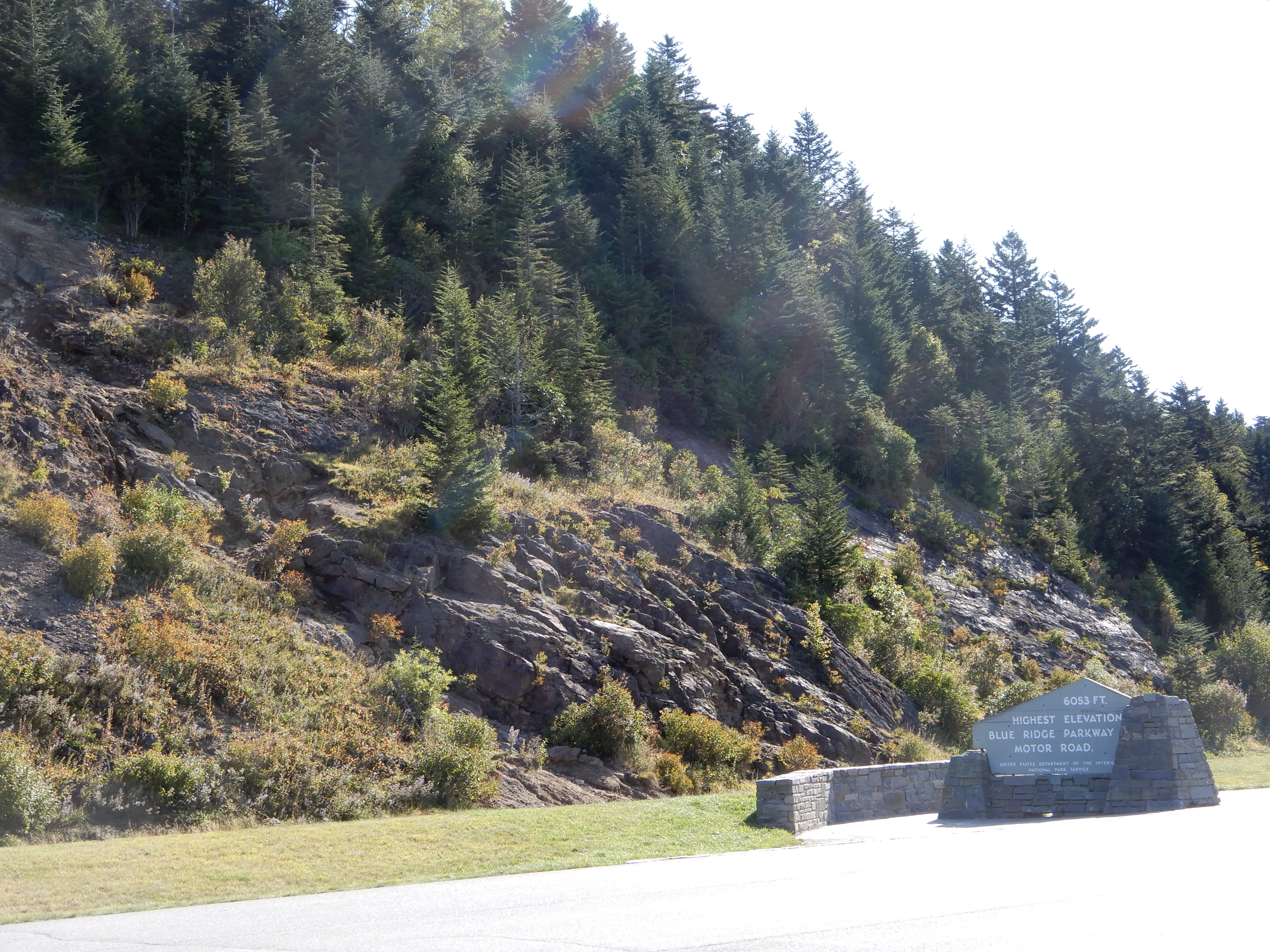
One of which was the highest point on the Parkway at 6050 feet.
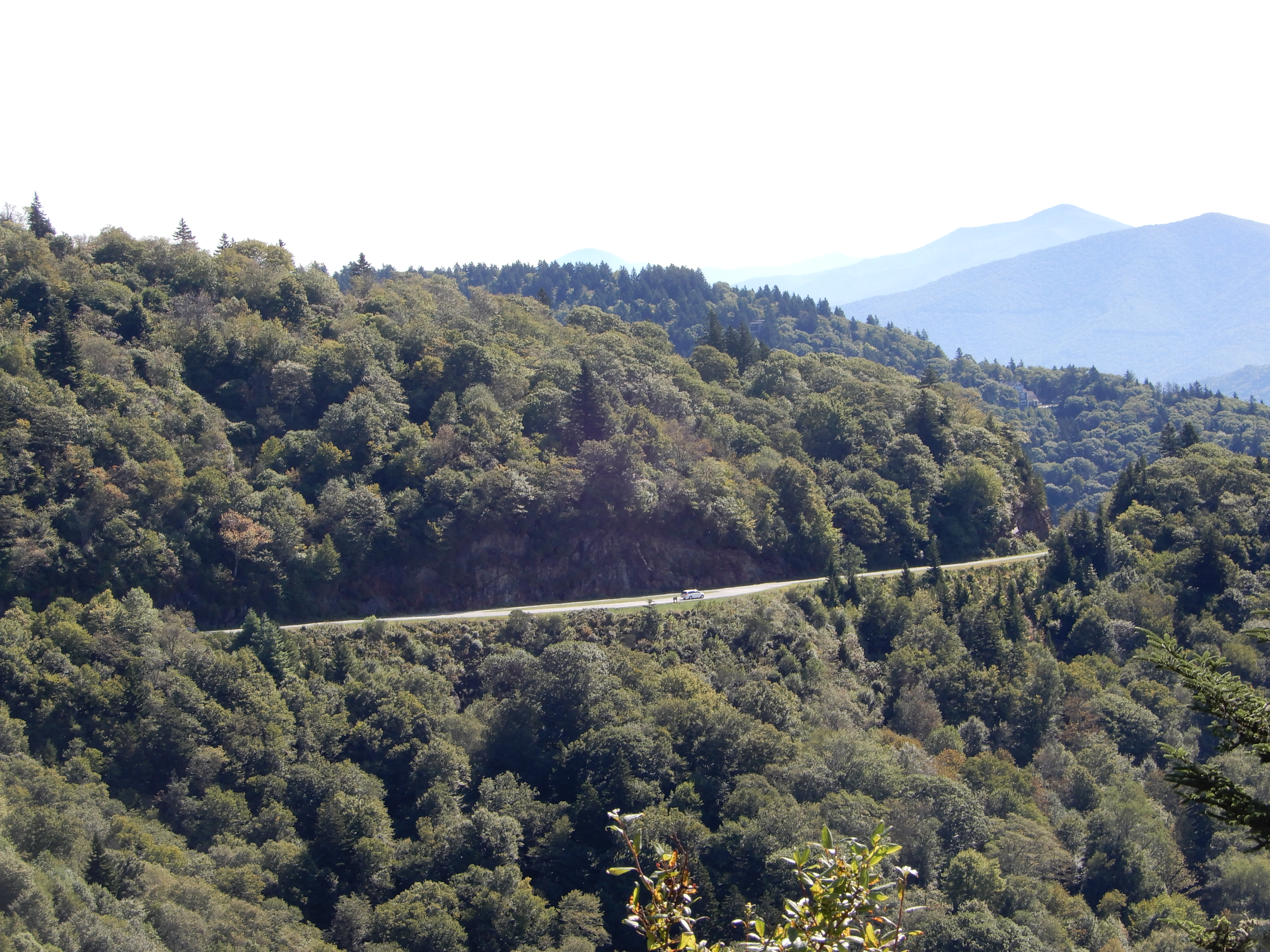
From this point we started coming down fast.
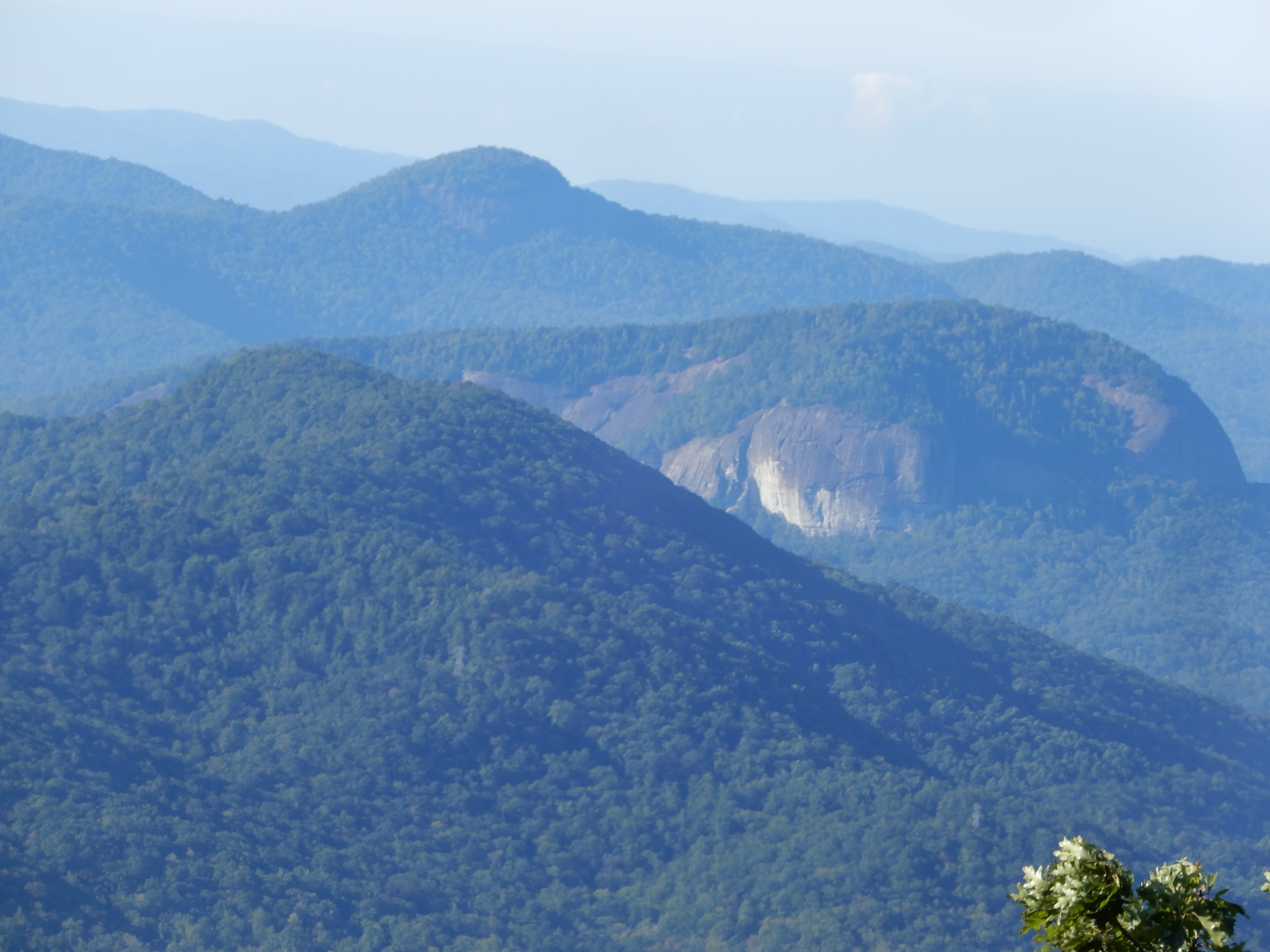
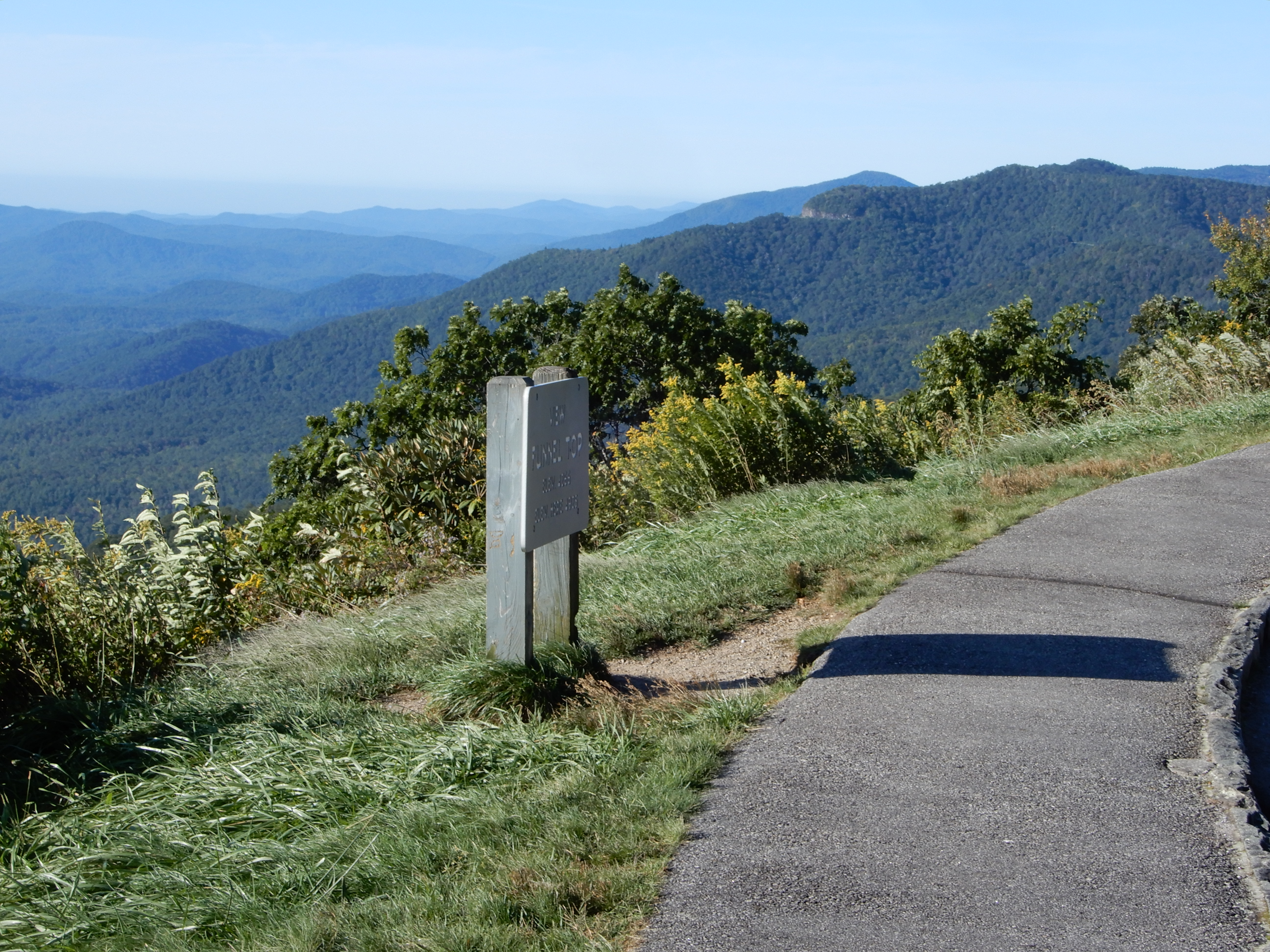
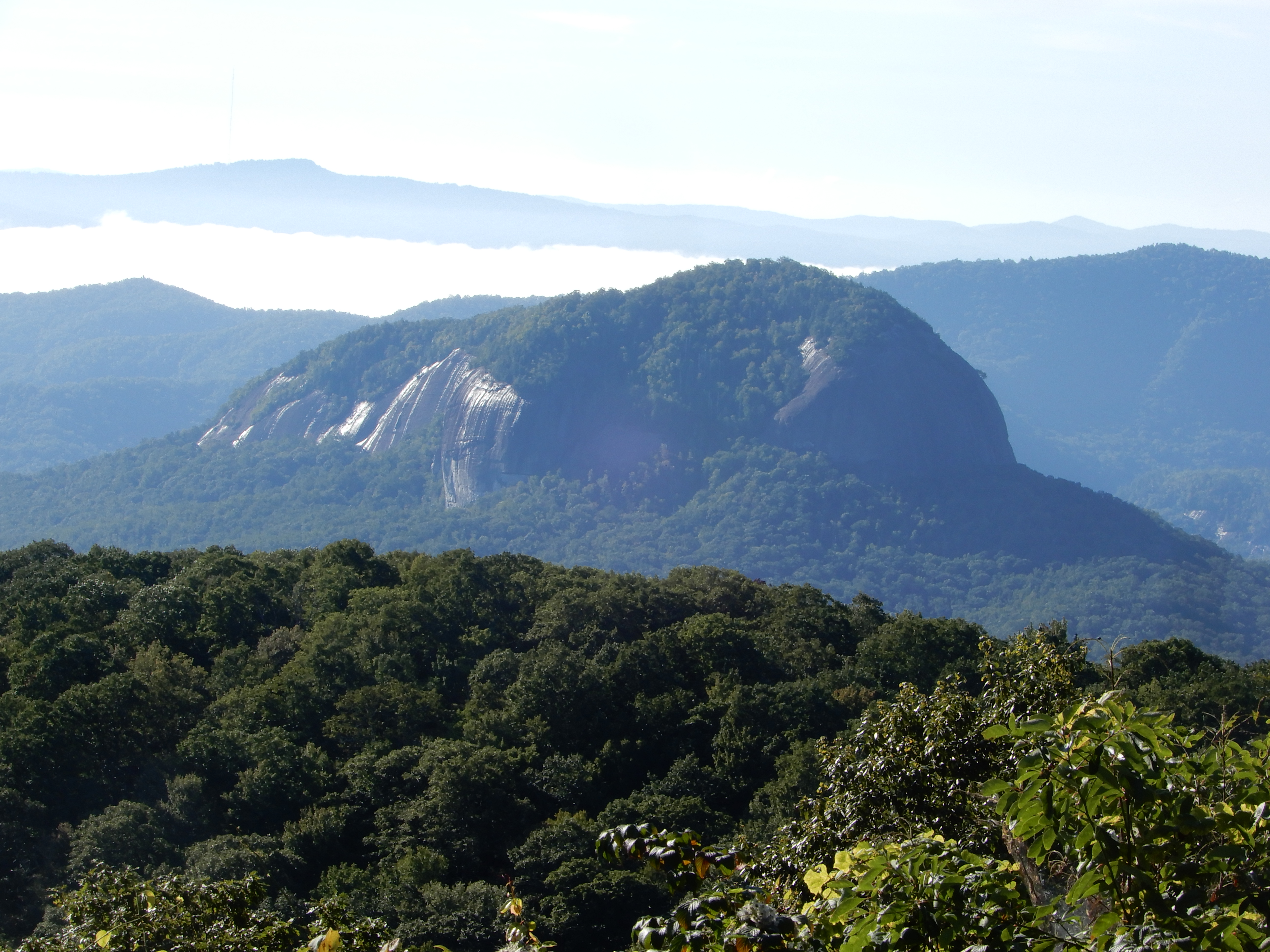
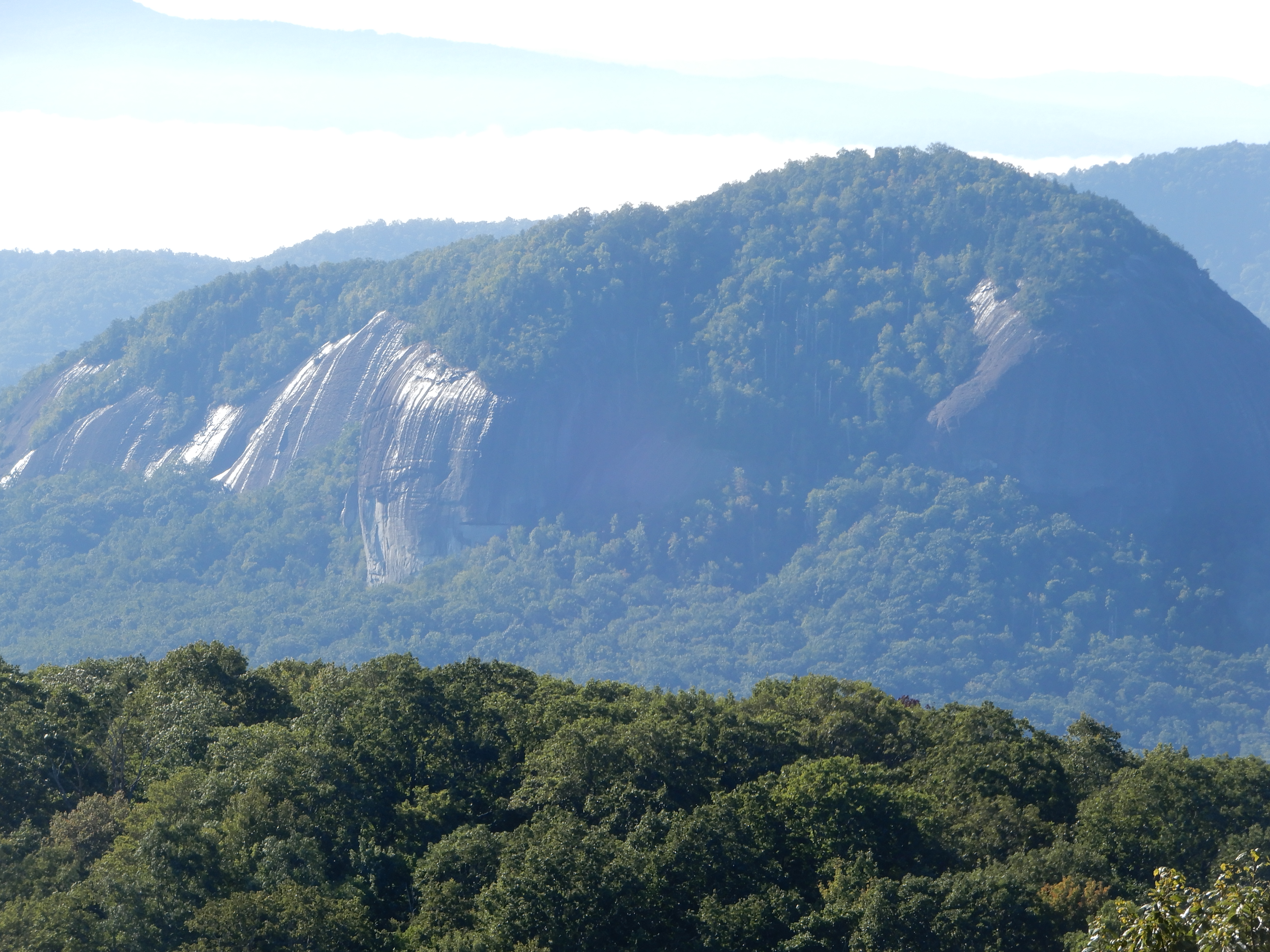
We passed this unusual mountain.
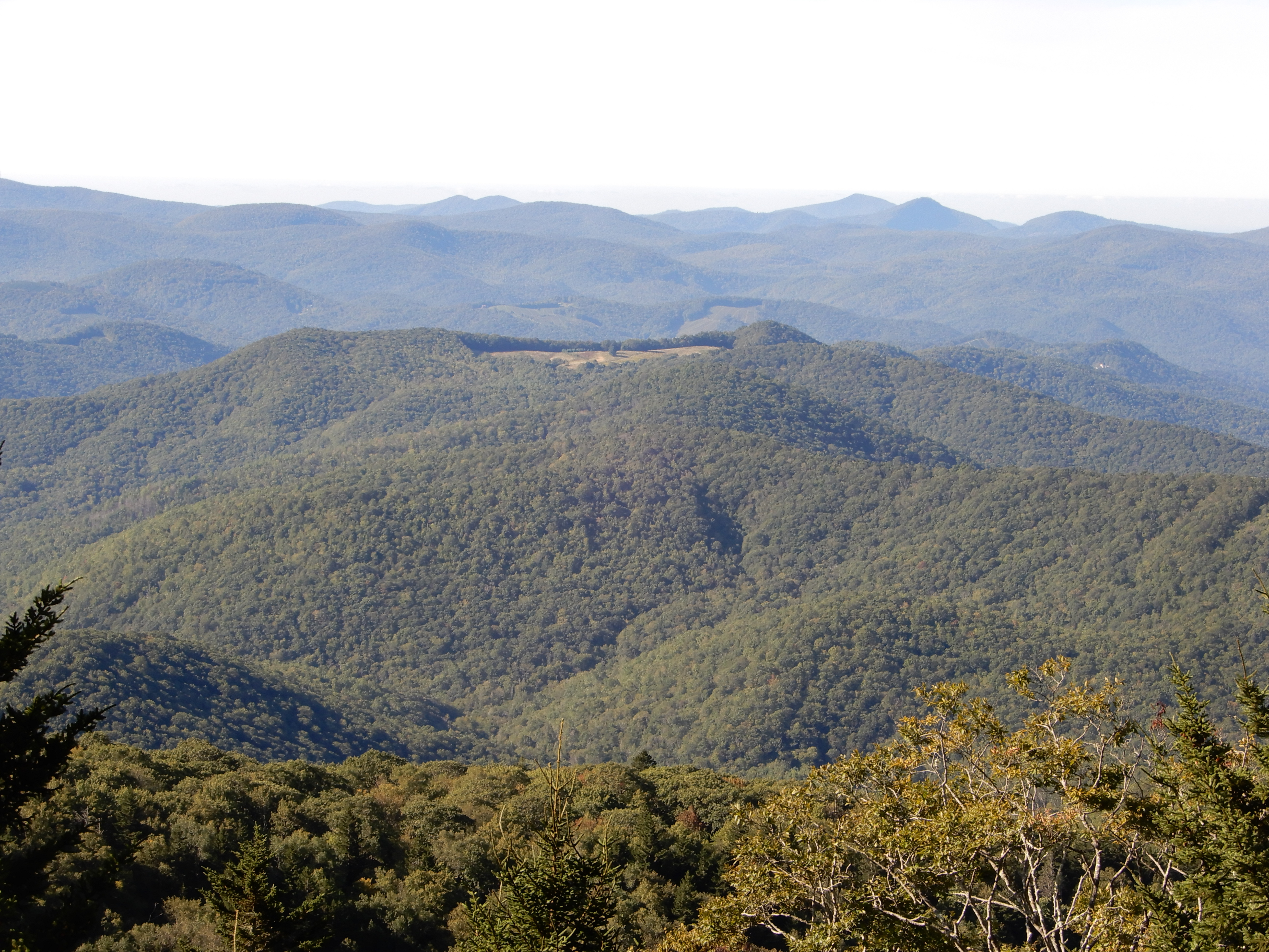
And this flat-top.
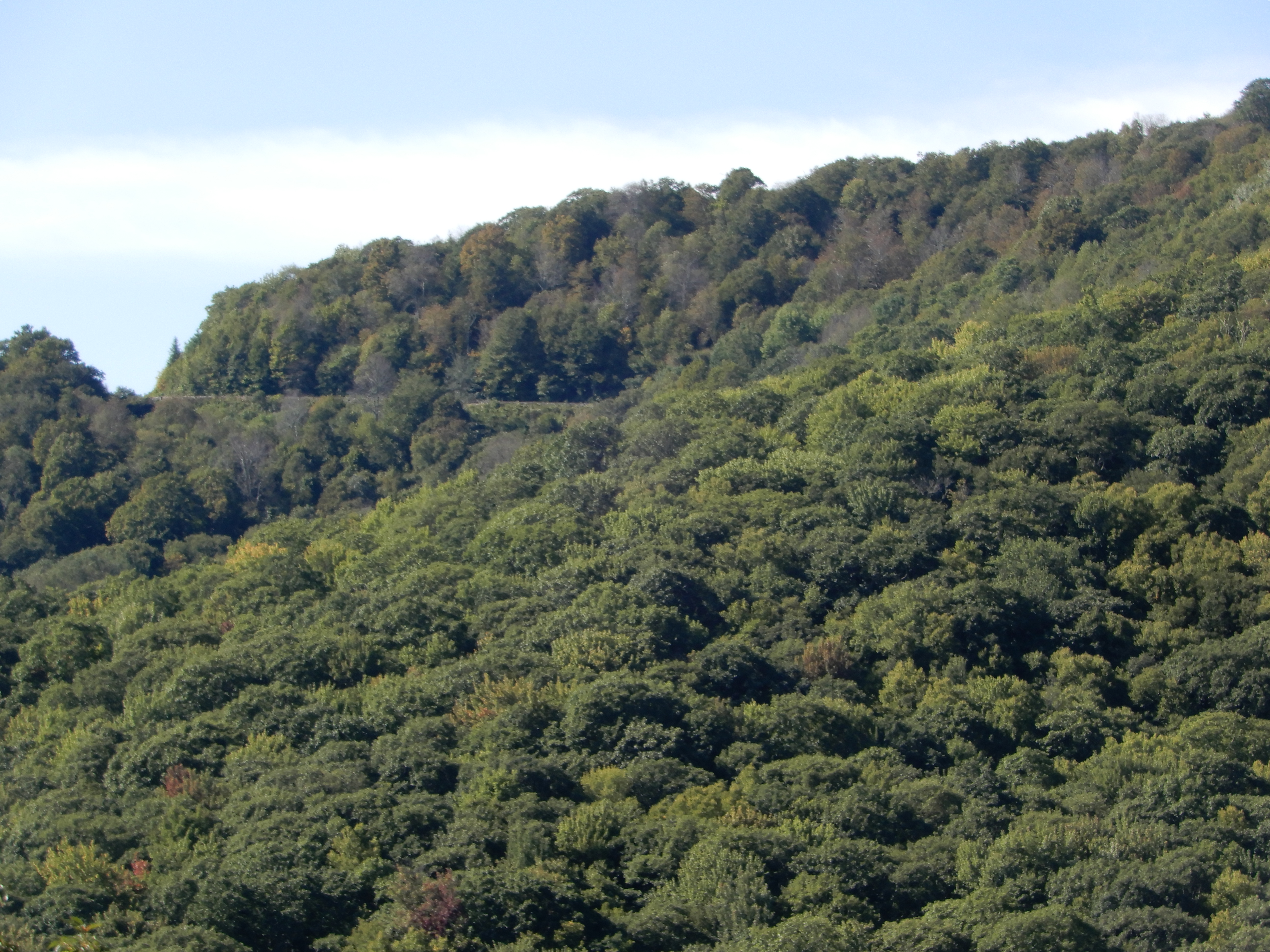
Down, down, down.
Stopping to look back.
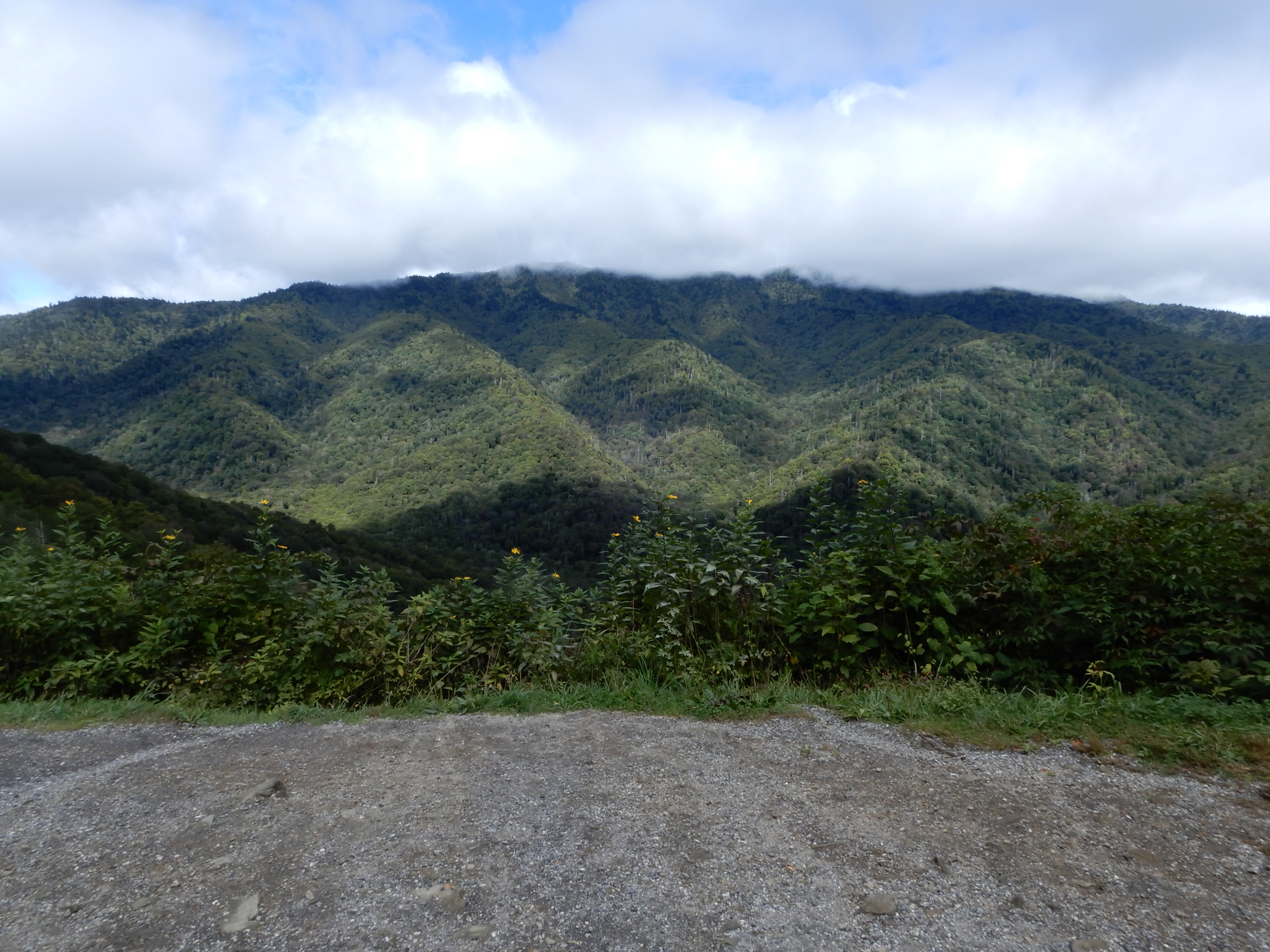
We stopped at the visitor center at MM451.
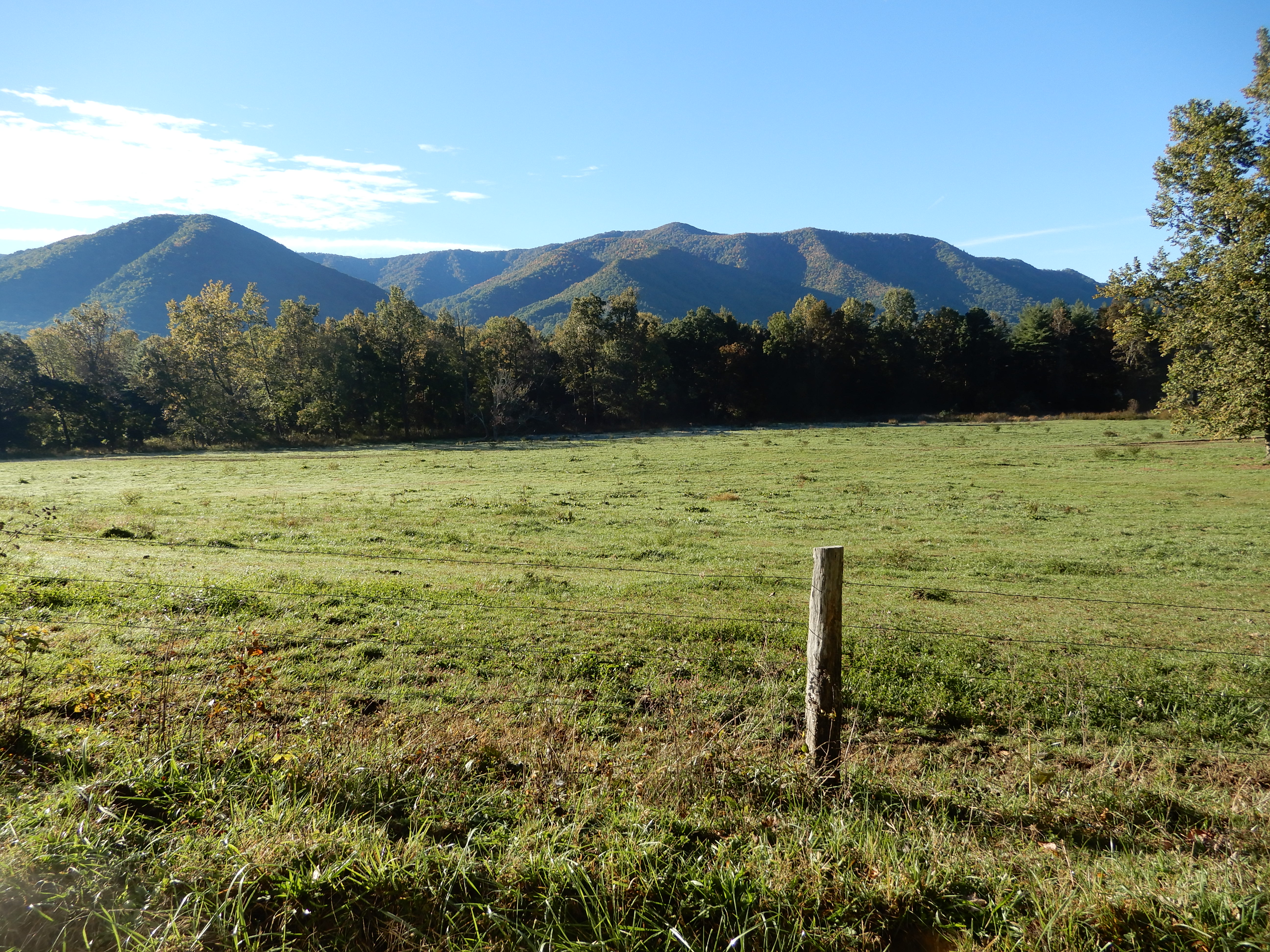
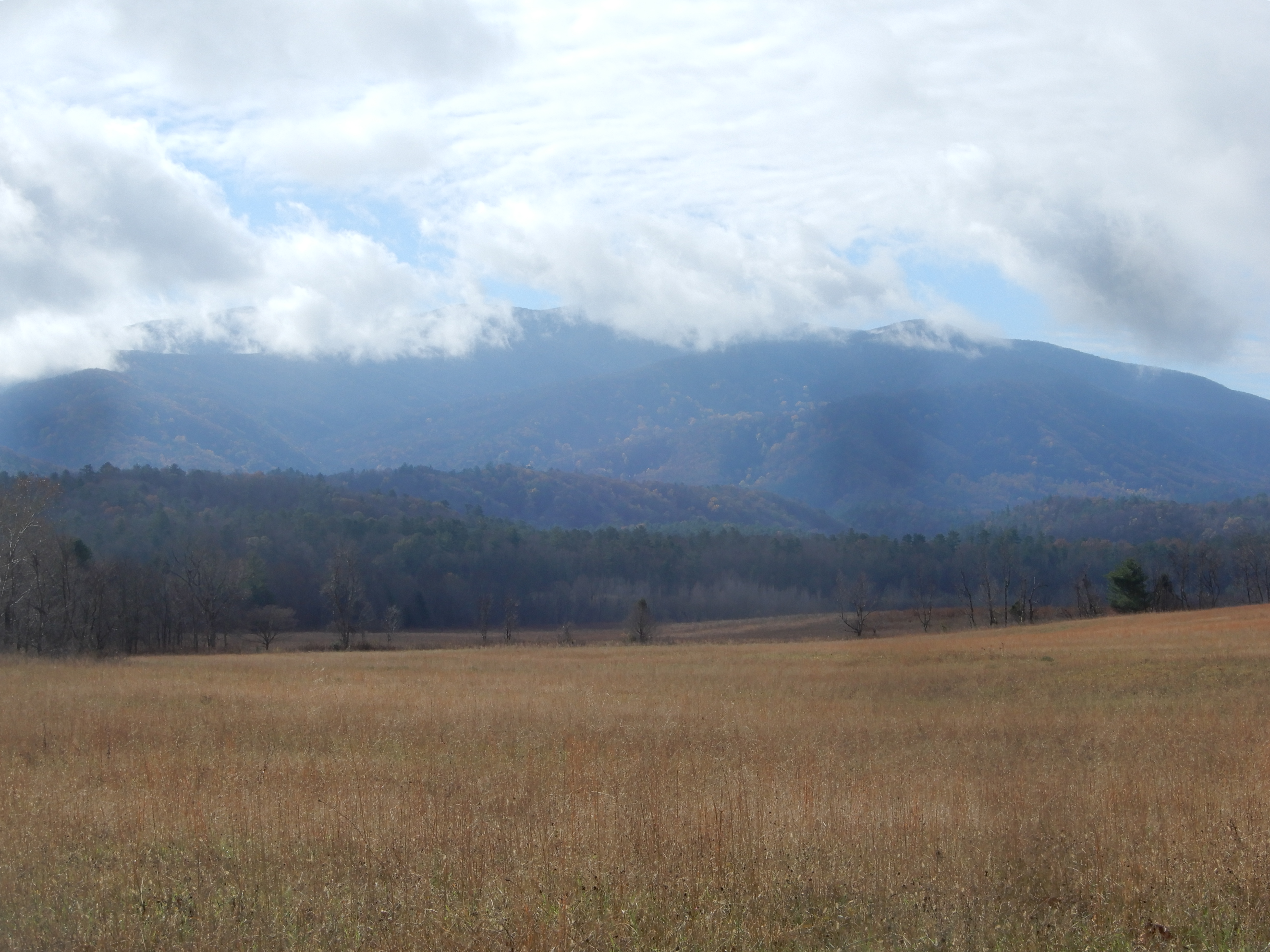
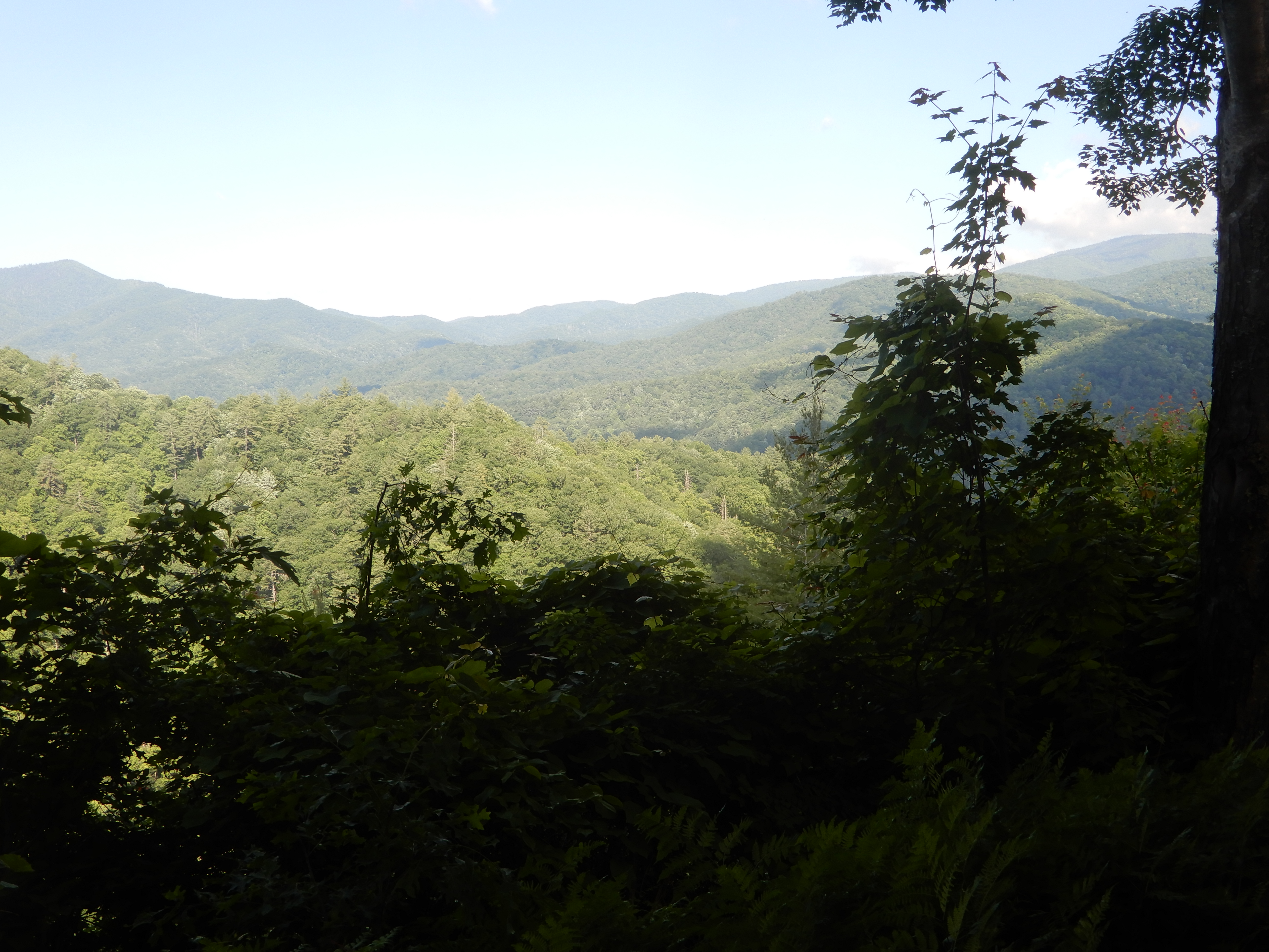
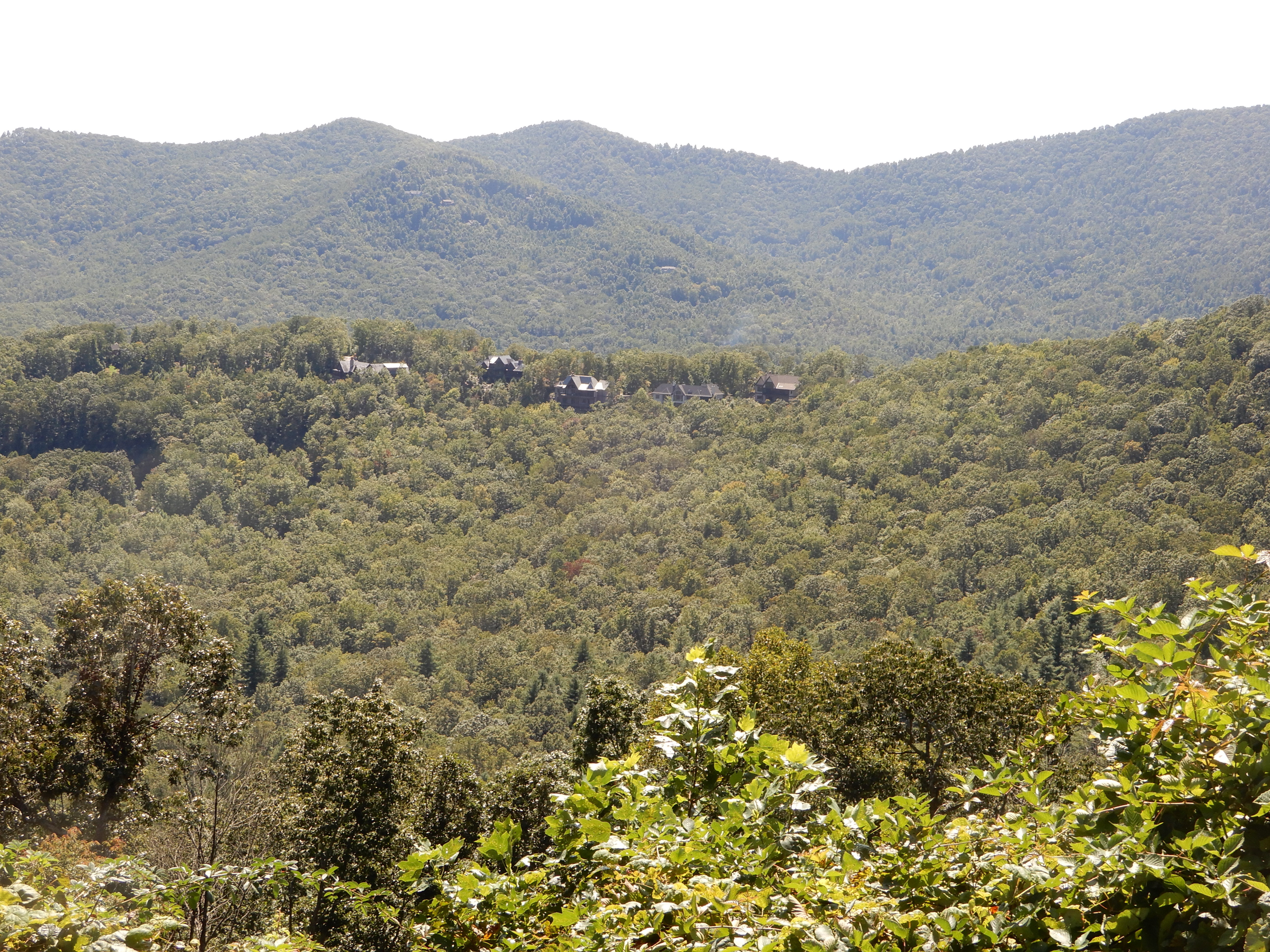
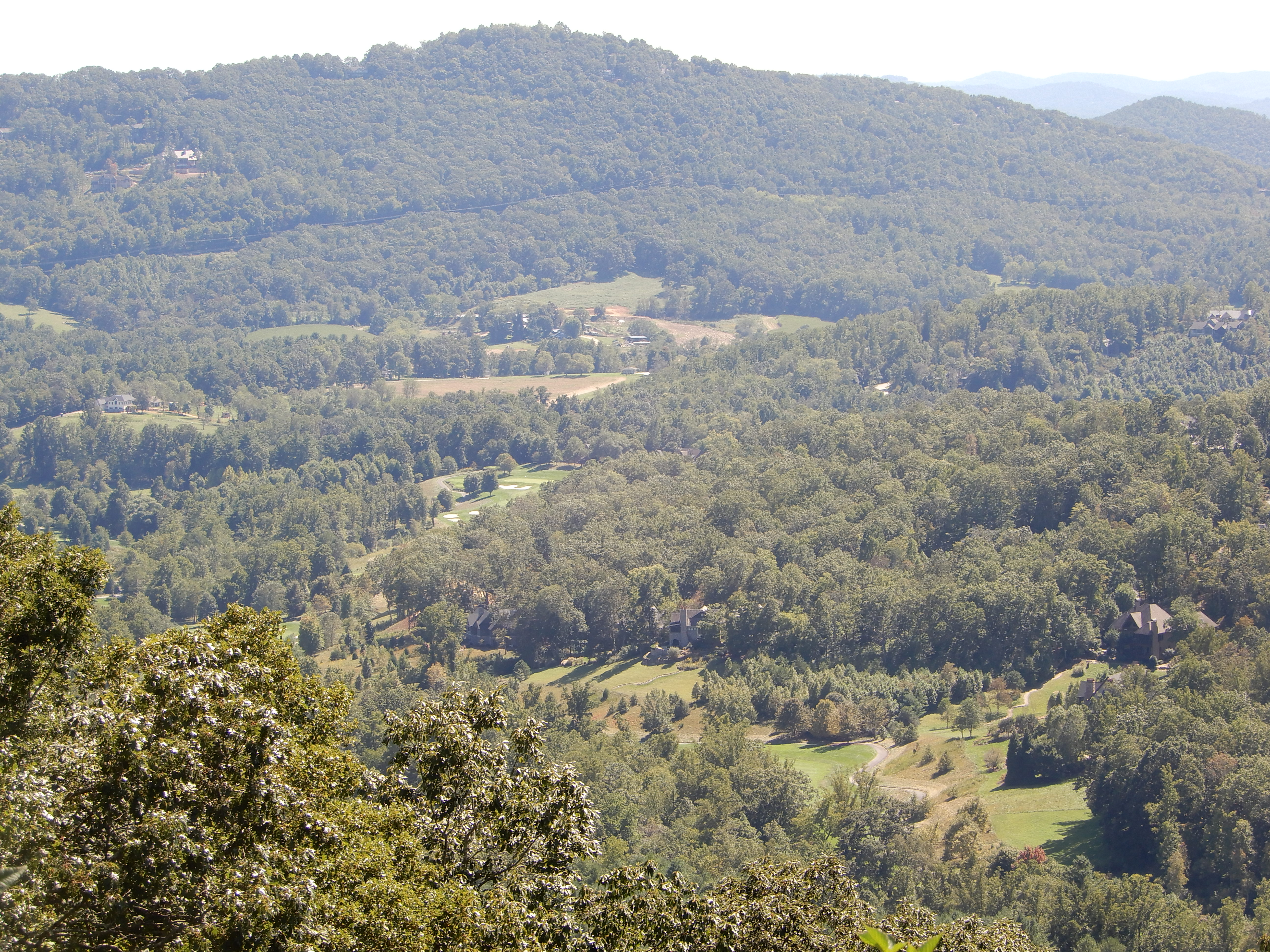
From there we could see the Smoky Mountains.
Our time on the Blue Ridge Parkway was over.
Next Location – In and Out of Smoky Mountains National Park, North Carolina
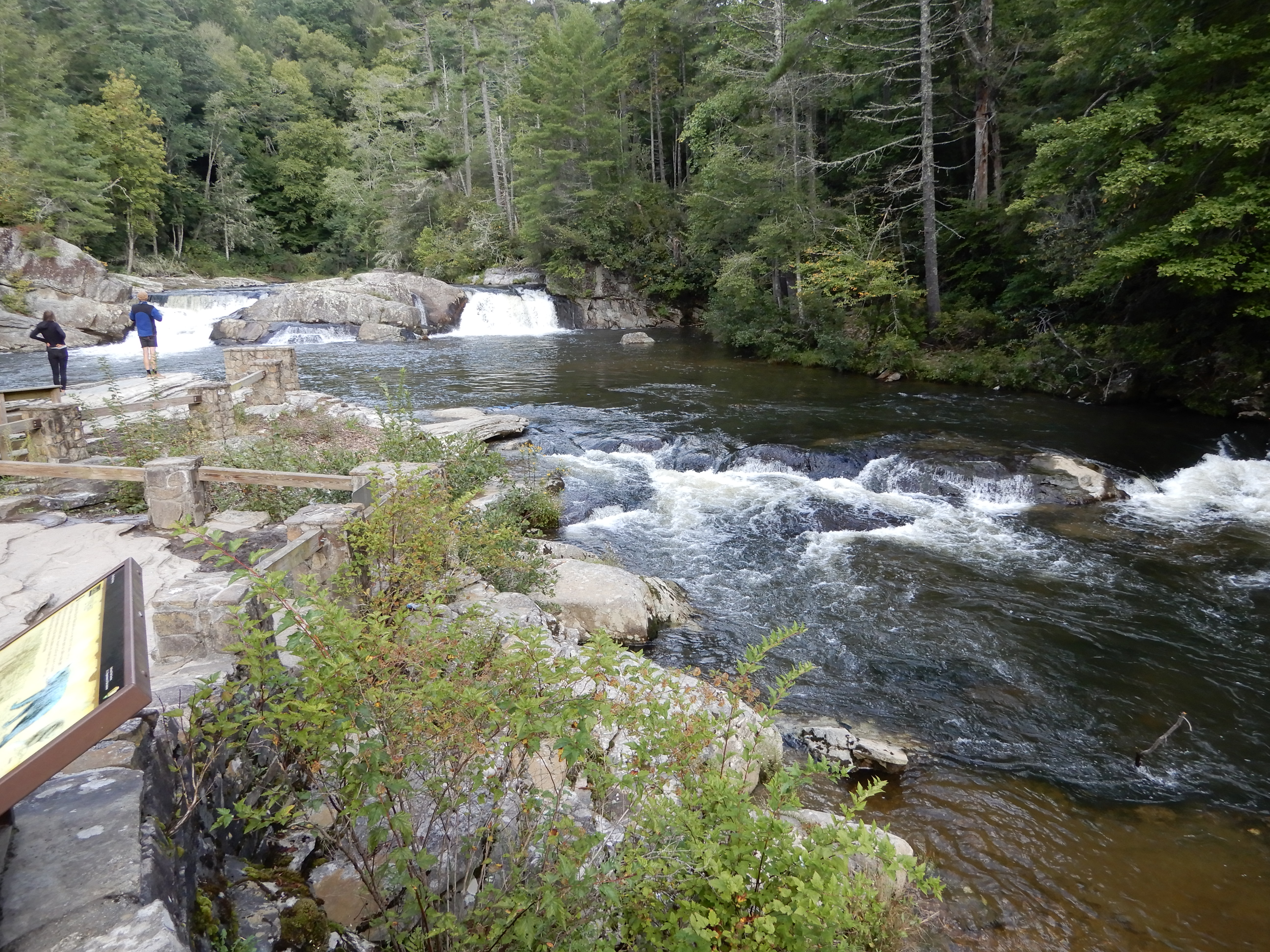
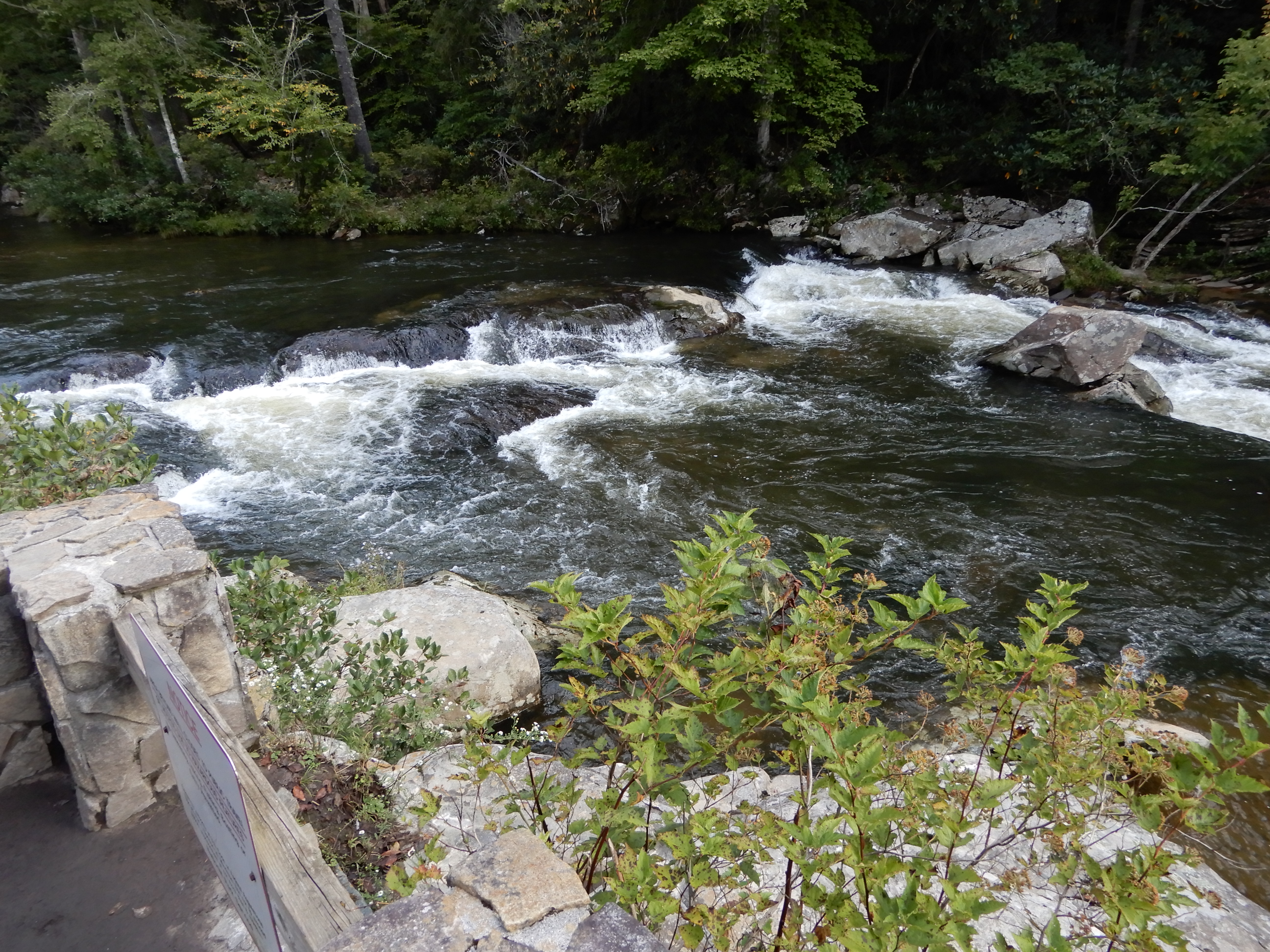
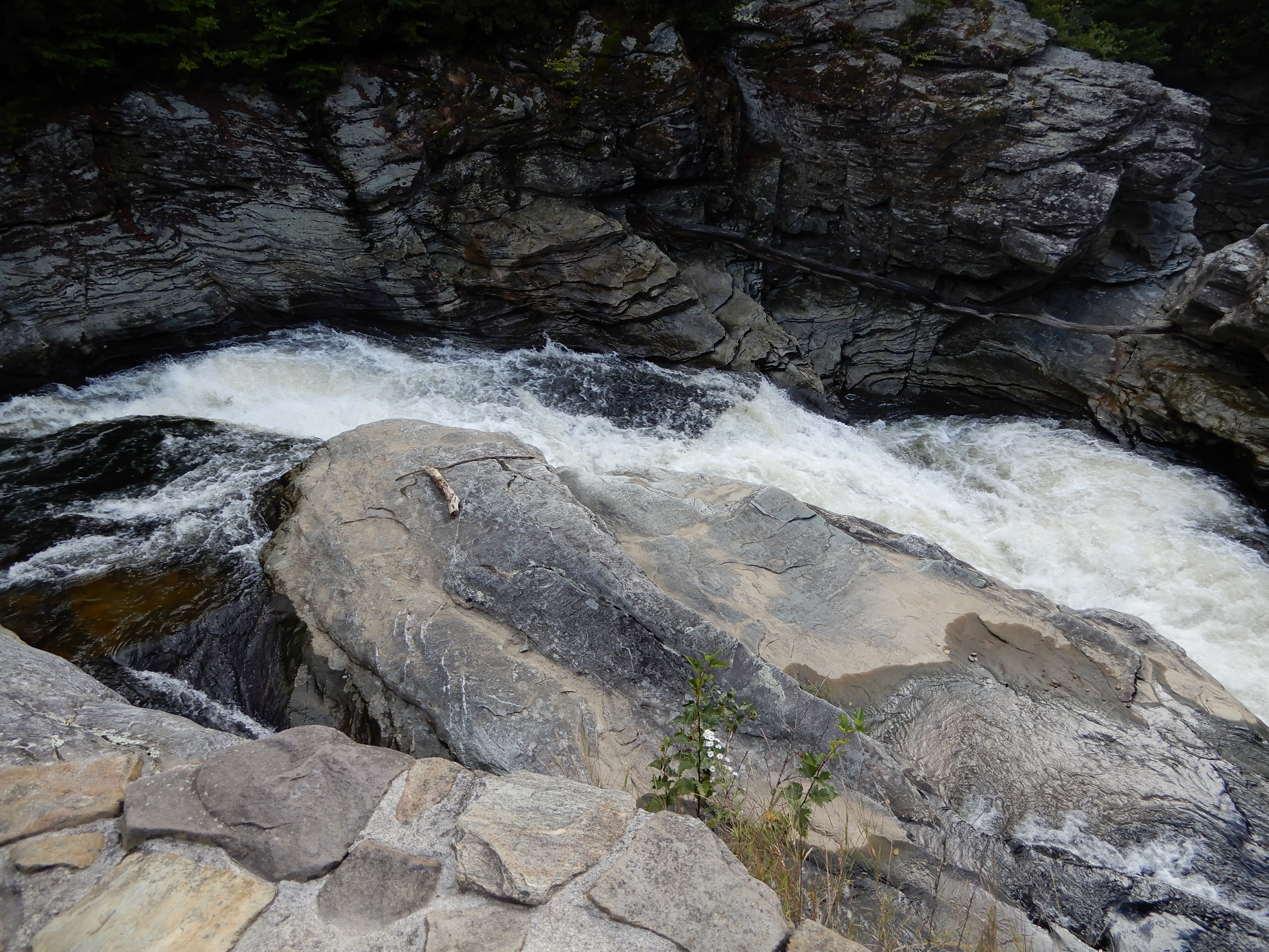
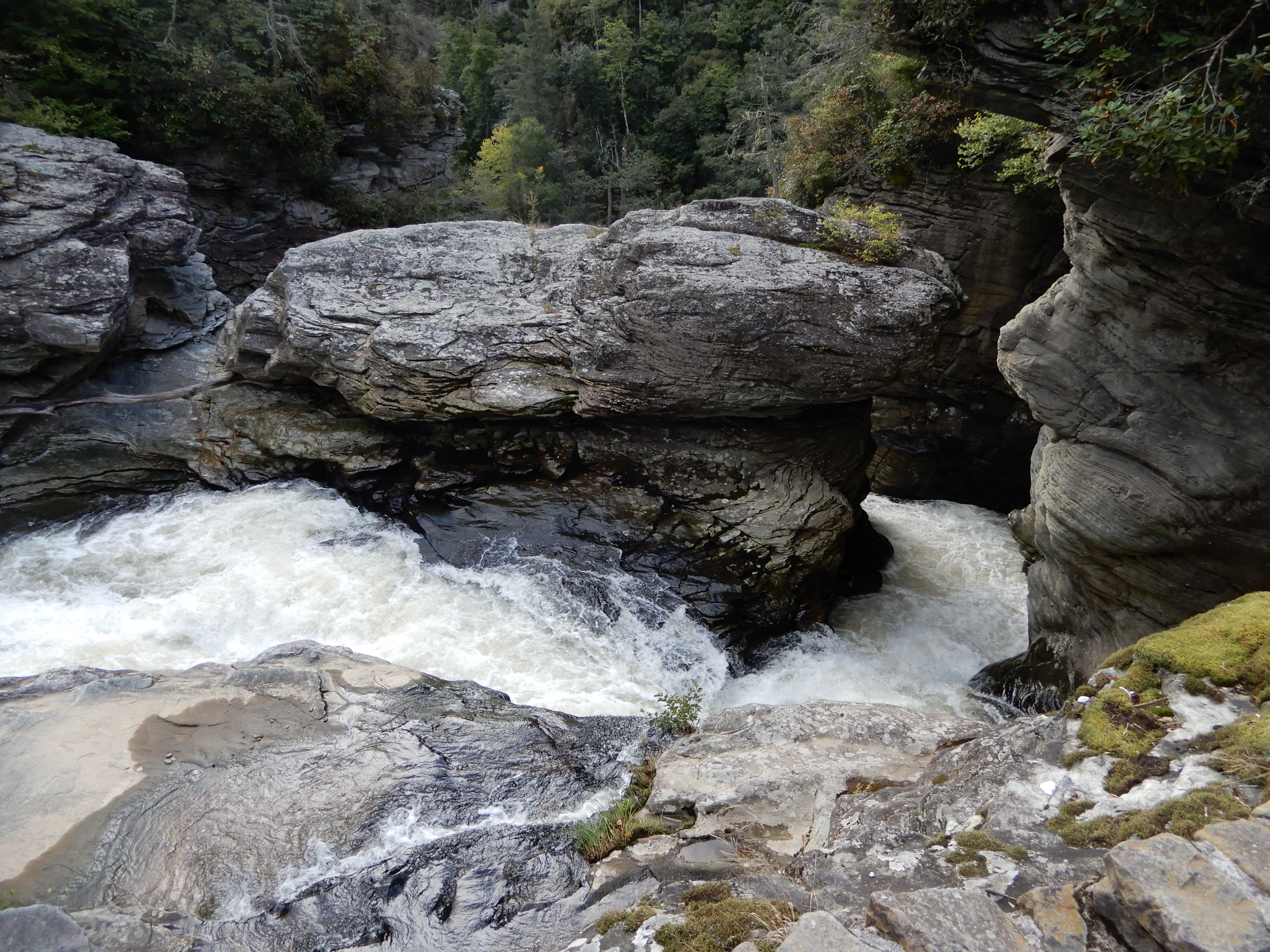
Early the next morning we drove out of the campground to the visitor center to take an easy 1-mile hike to Linville Falls.
We saw several small falls.
After, we continued south on the Parkway.
Stopping at several overlooks.
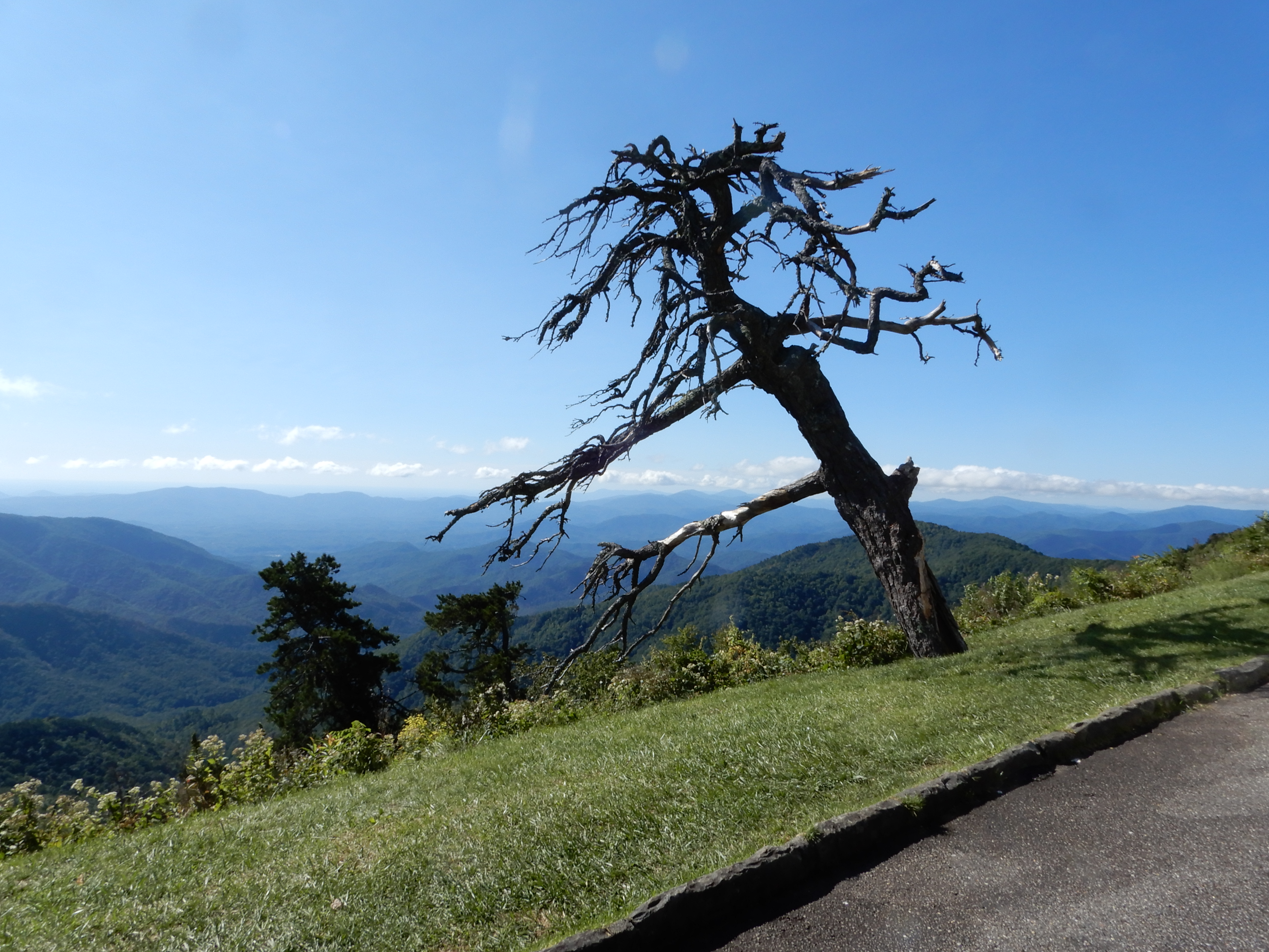
At one stop this dead tree caught my eye.
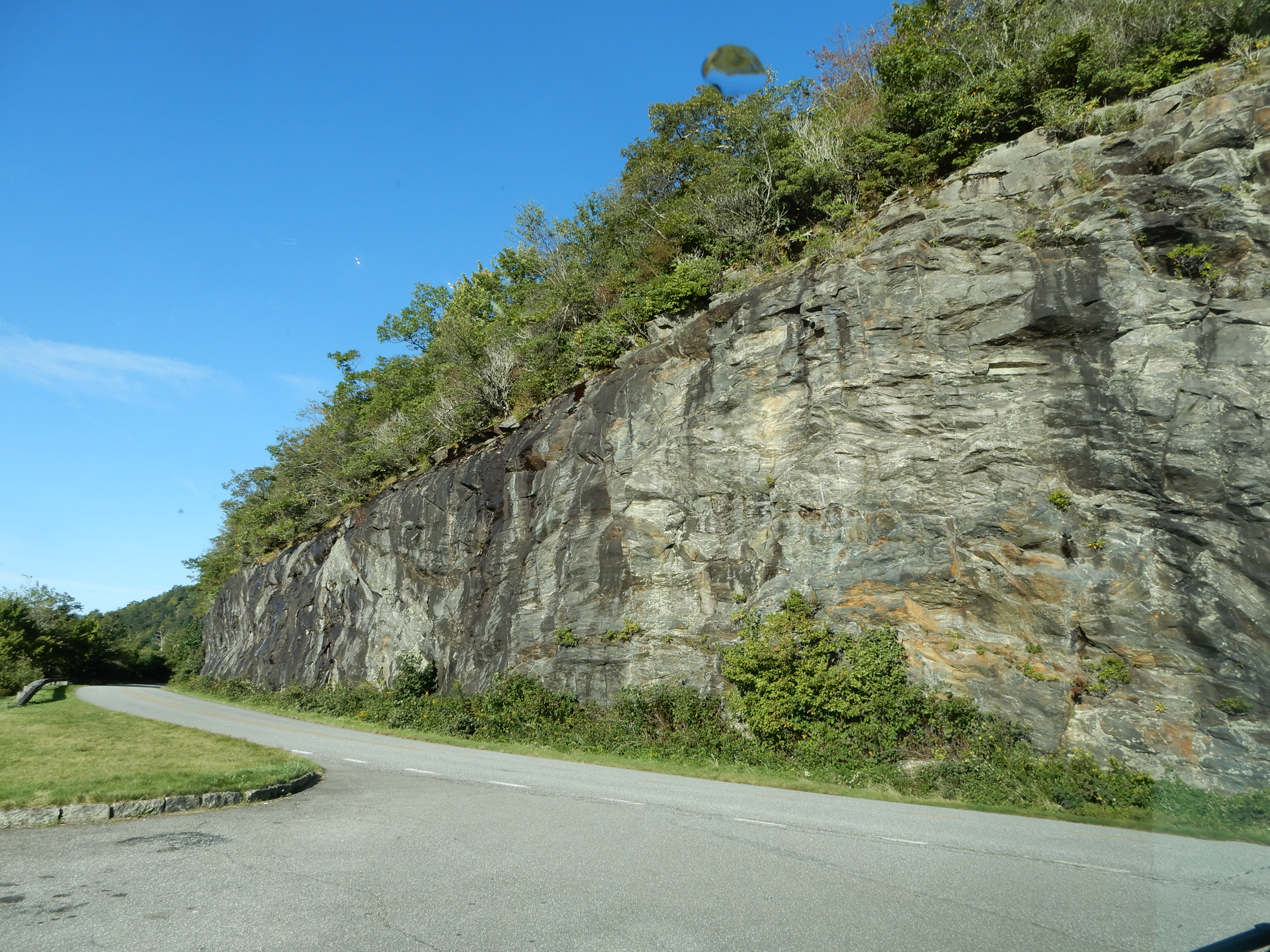
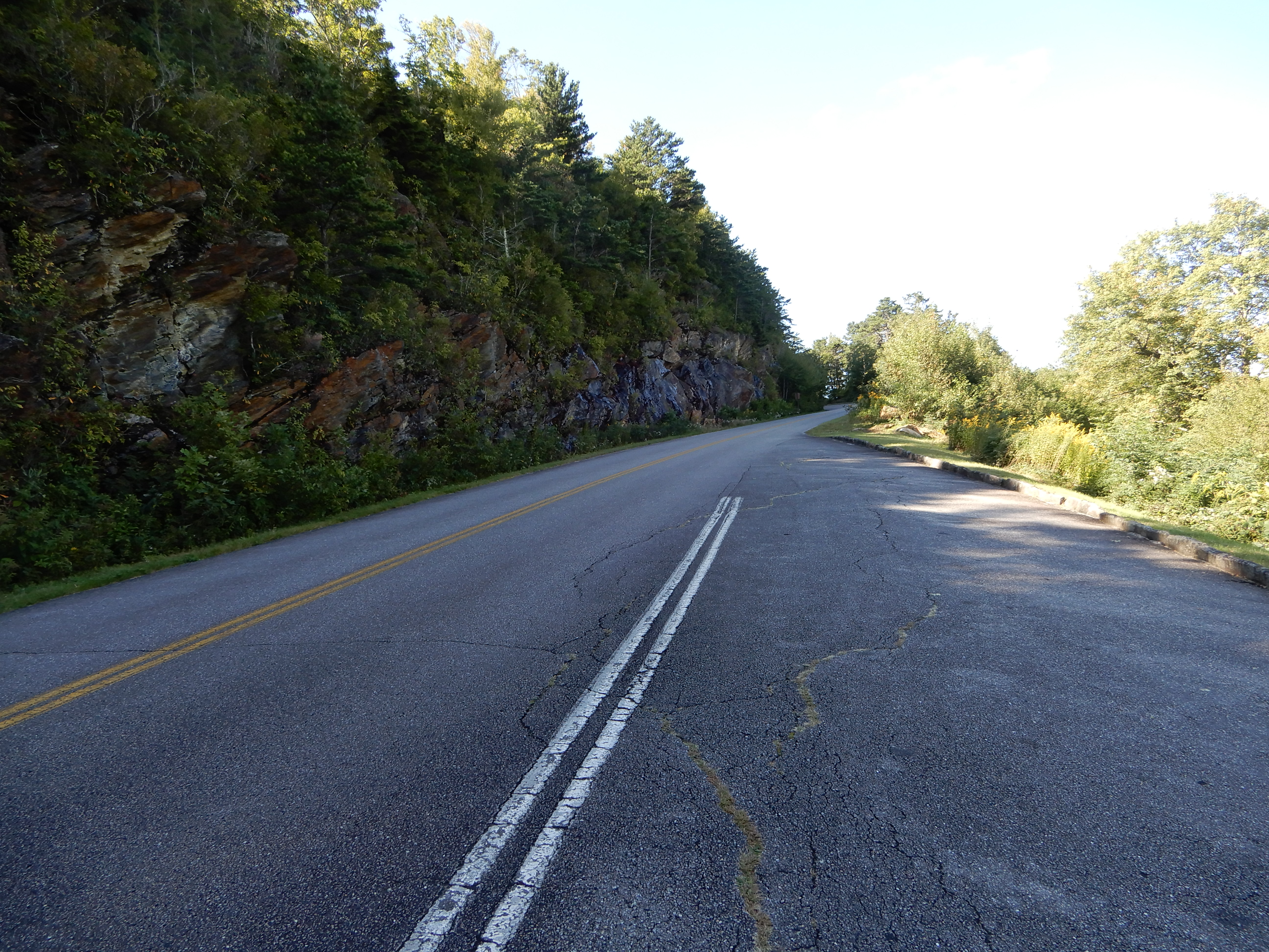
These are the kind of views you come upon while driving. Very hard to keep your eyes on the road.
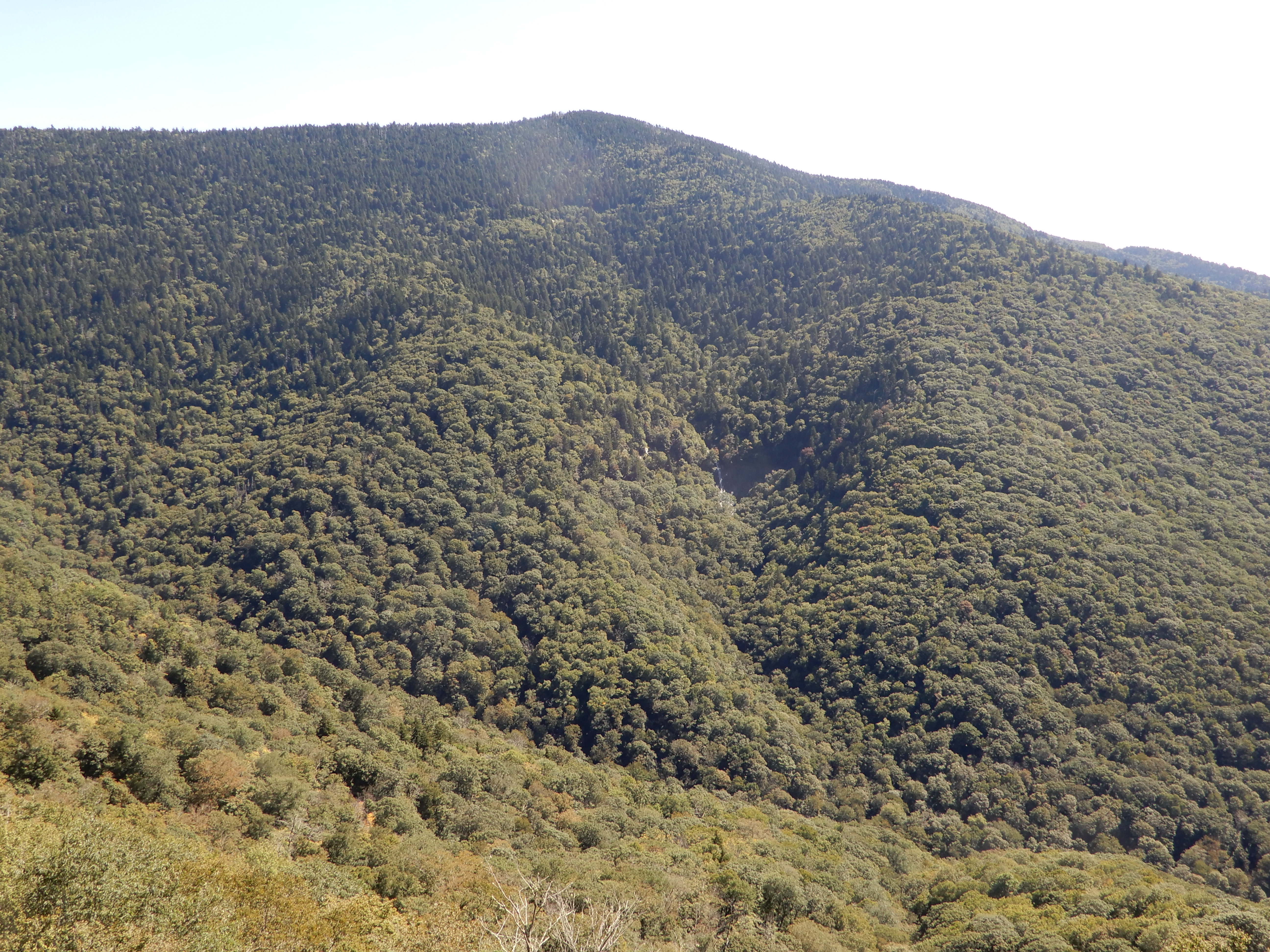
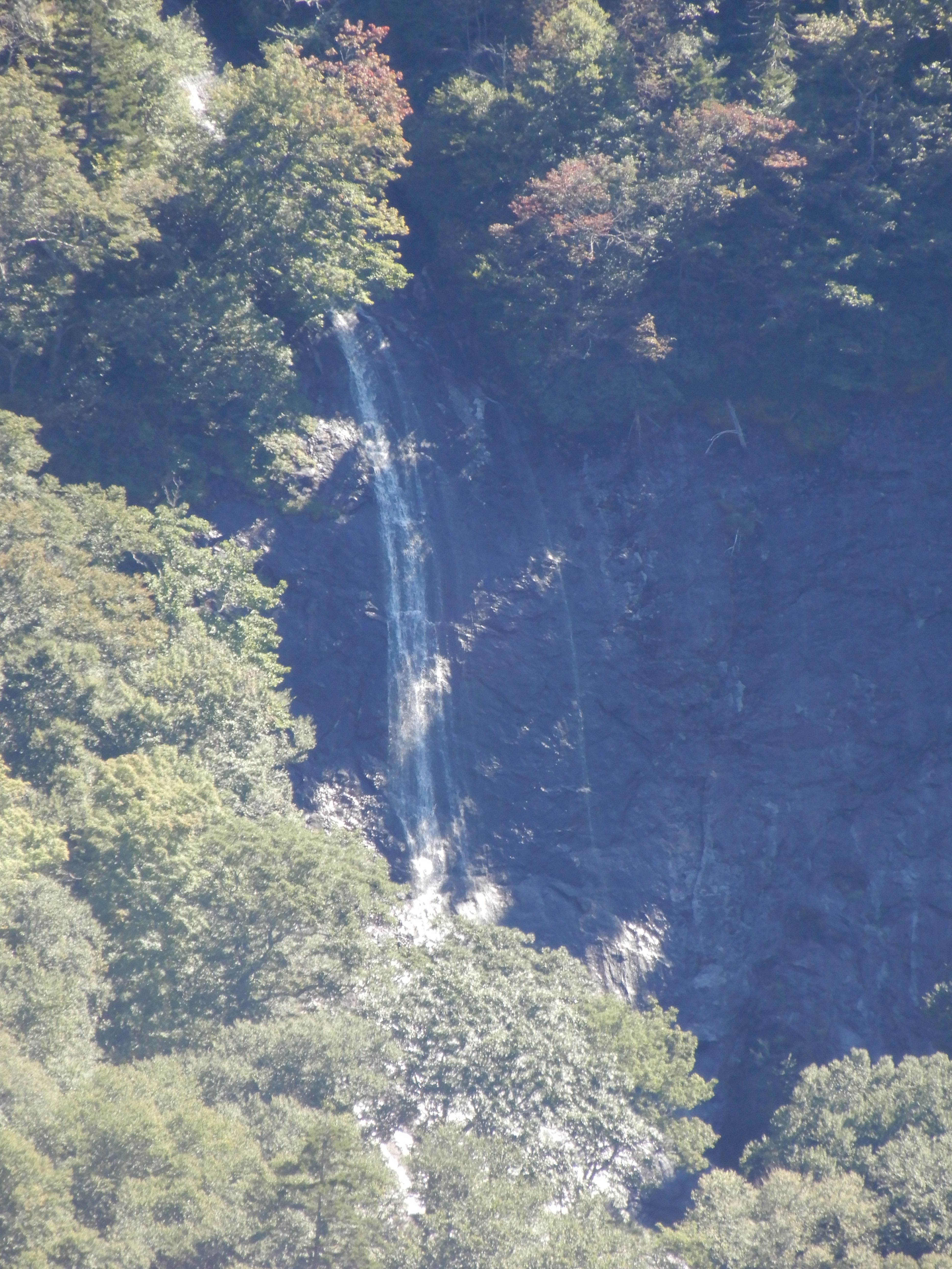
We pulled over to see this waterfall in the distance.
I zoomed in for a closer shot.
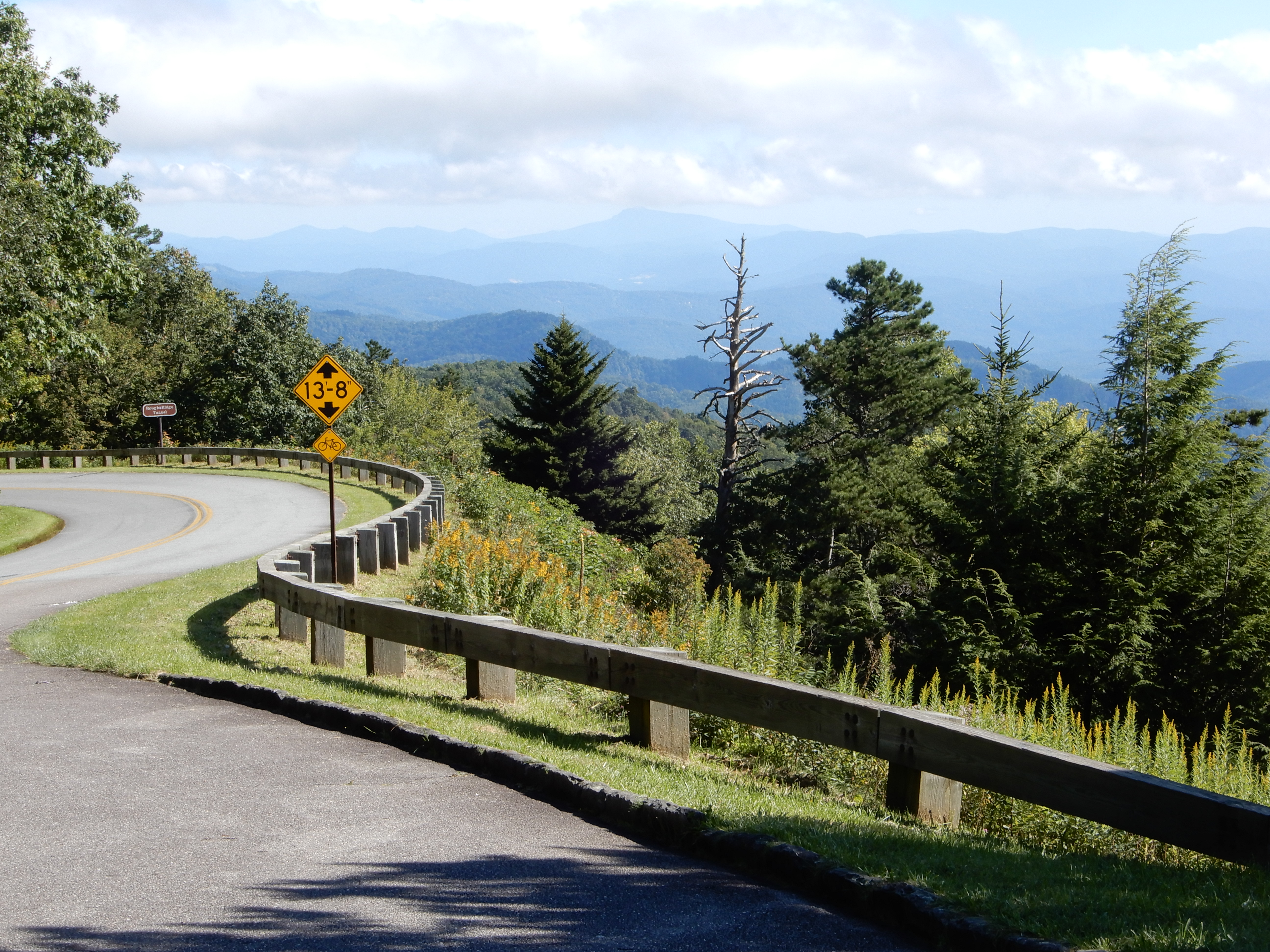
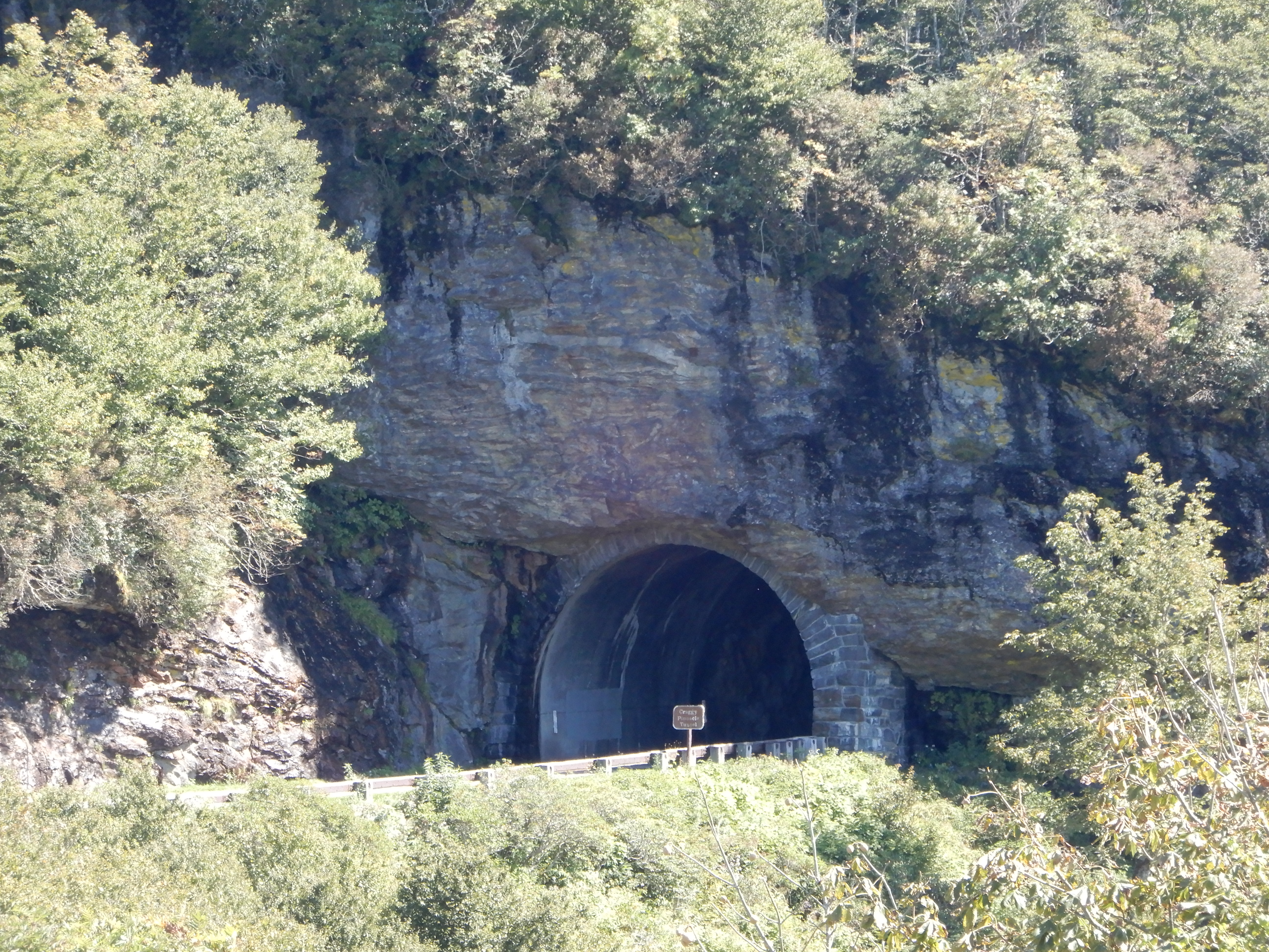
On this stretch of the road we went through several tunnels.
We pulled into the Museum of North Carolina Minerals, but it was closed. We drove around Crabtree Falls, but the campground was closed. We pulled into Glassmine Falls overlook (it was open! Yea!) for lunch, then took a short walk to view the distant falls. It started out easy.
The trail grew rockier.
We got beyond the rocky stretch.
The trail broke out into an open stretch.
Which provided scenic views.
Then it was back into the trees.
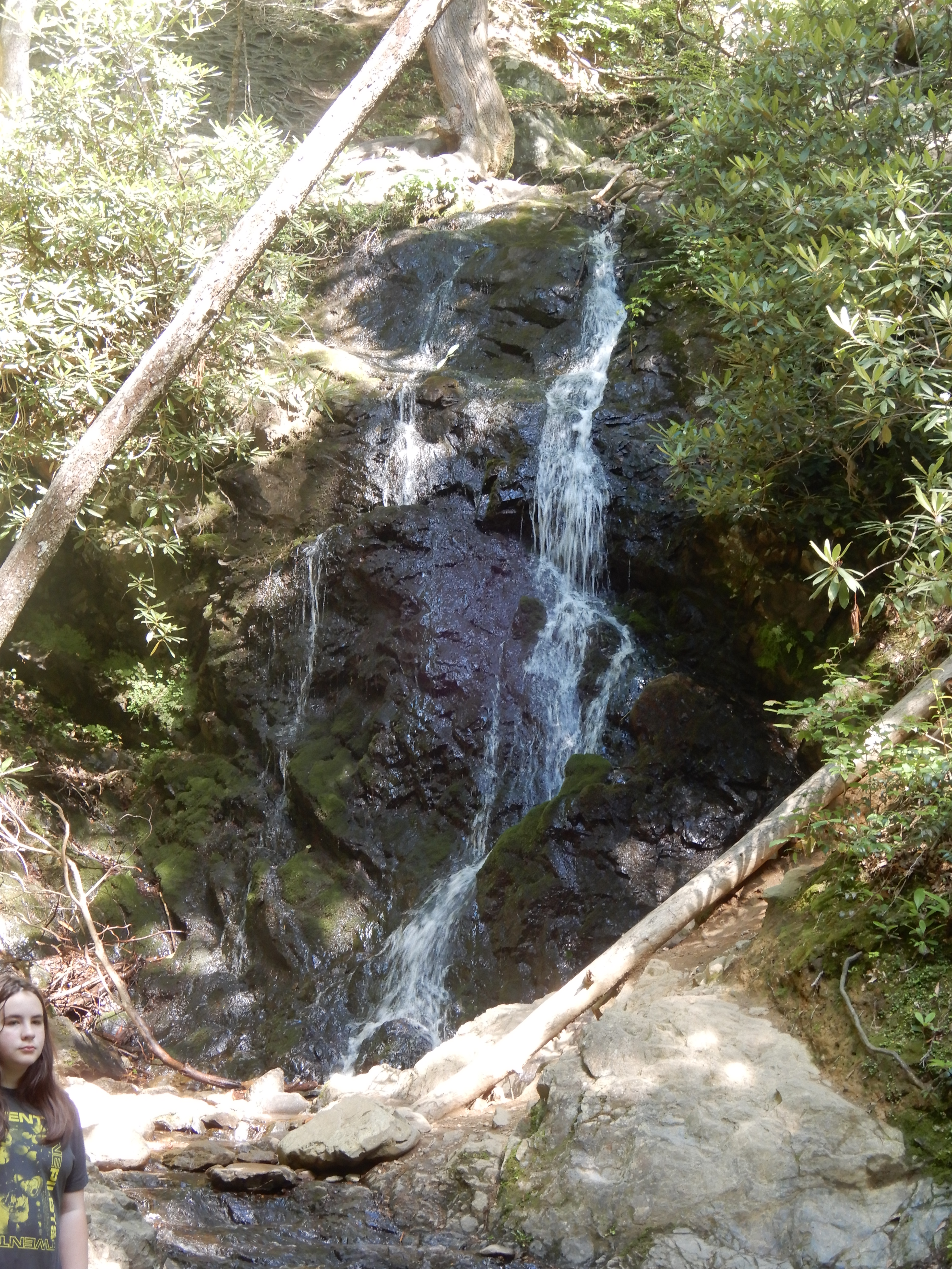
To a very disappointing dry falls.
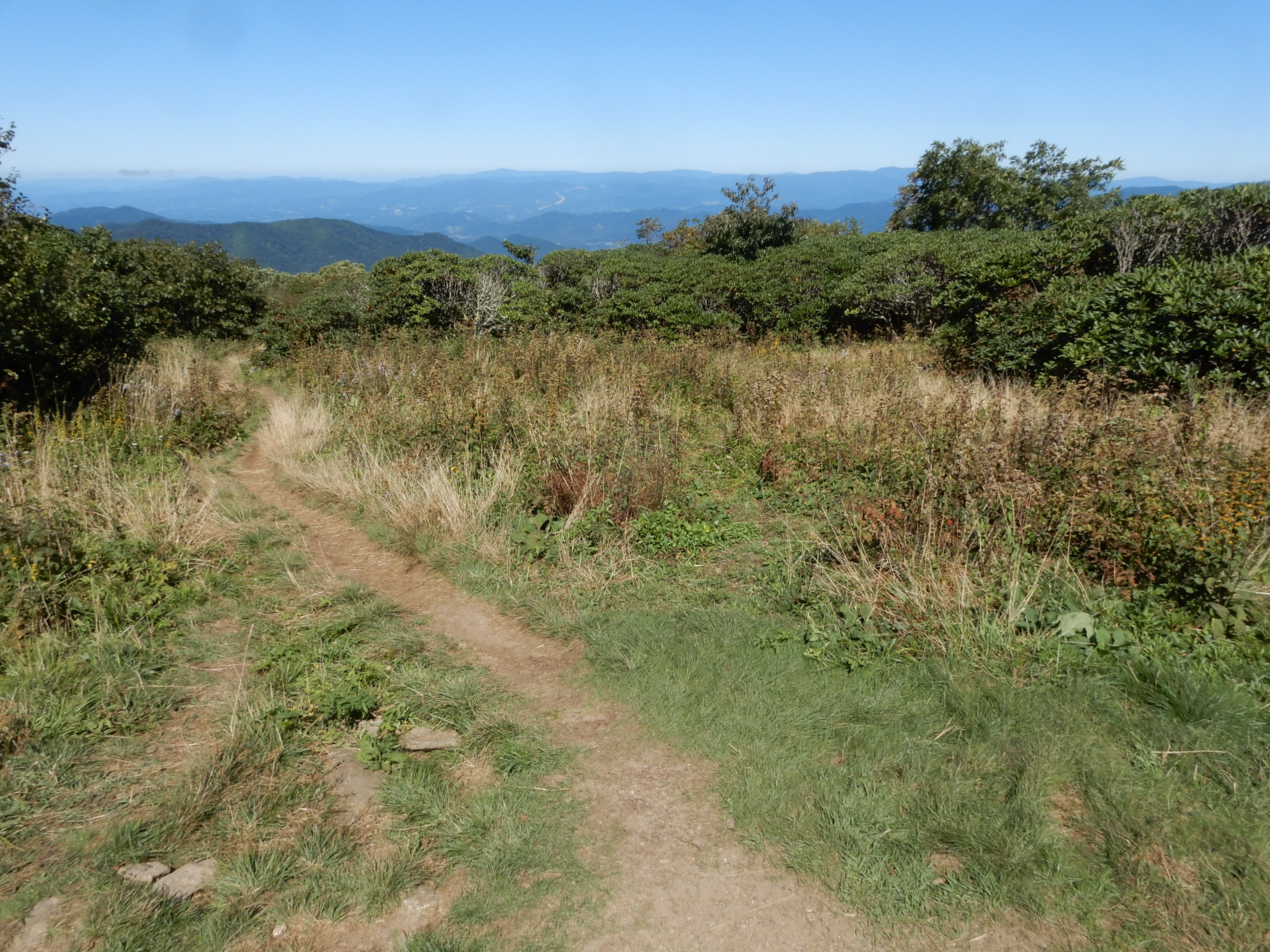
Anyway, it was still a nice hike. We drove on to the Craggy Gardens Visitor Center.
Which provided some nice overlooks.
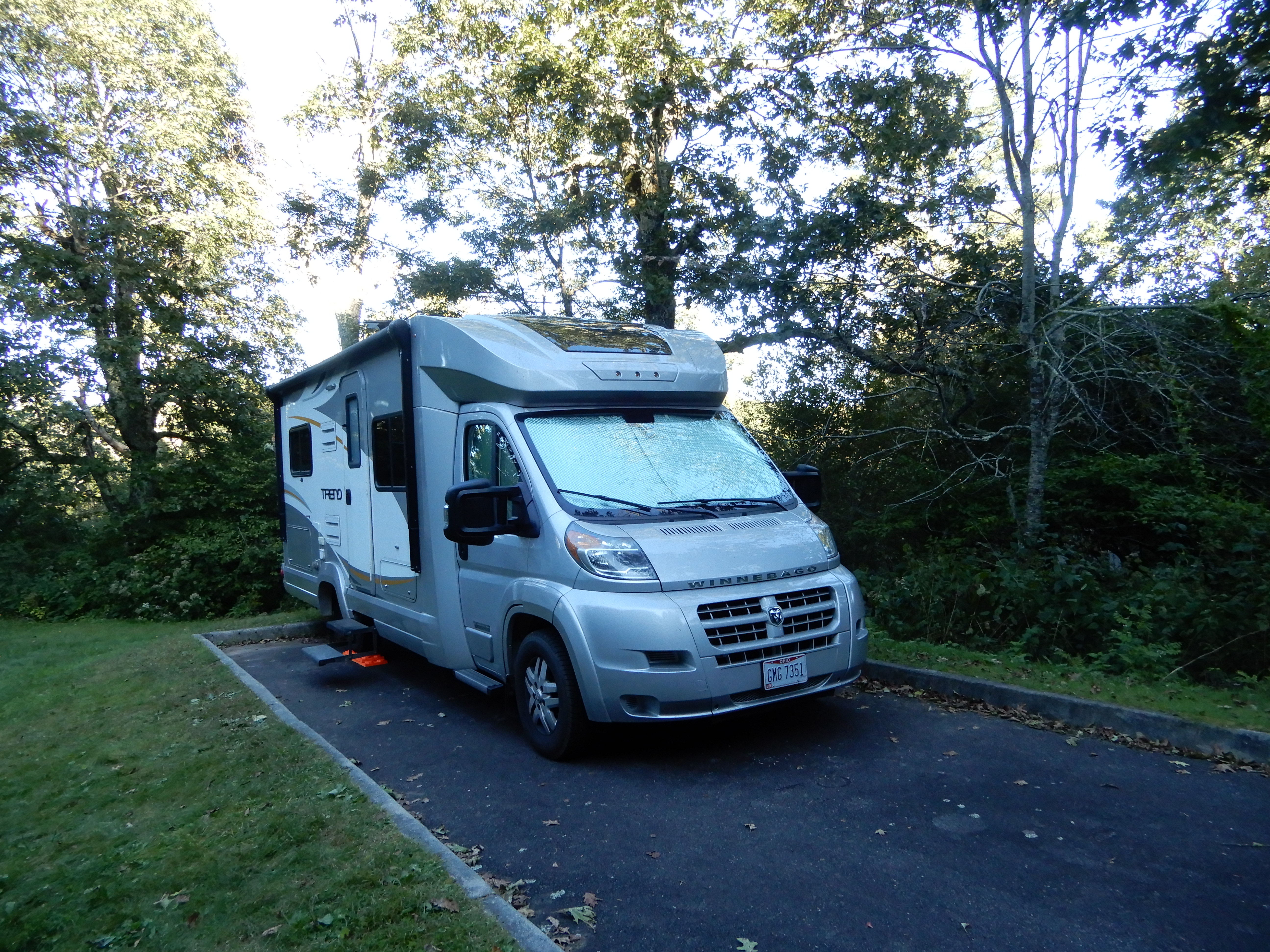
We continued south on the Parkway on a very scenic stretch, perhaps the best yet. We turned off the Parkway into Asheville for gas and groceries, then hopped right back on. North and south of Asheville the traffic was heavy, but as we continued south away from the city it got lighter. There were a lot of tunnels on this stretch, several long ones. We pulled over for several more overlooks, then turned into Mt. Pisgah Campground at MM408. We got a site, and after dinner walked around the campground.
Next American Location: Driving off the Blue Ridge Parkway, North Carolina