Although many campgrounds were closed at that time due to Covid, we embarked on a camping trip just to break confinement of our house. From our home north of Cincinnati, Ohio, leaving at 7:30 in the morning we drove north up I-71 to the Hwy. 35 exit, where the Outlet Malls are. We drove east to Chillicothe, then continued east on Hwy. 50. At Parkersburg, we crossed the Ohio River into West Virginia. We ascended from the river valley up into the Appalachian Mountains. We stopped for lunch at Woodmount Park.
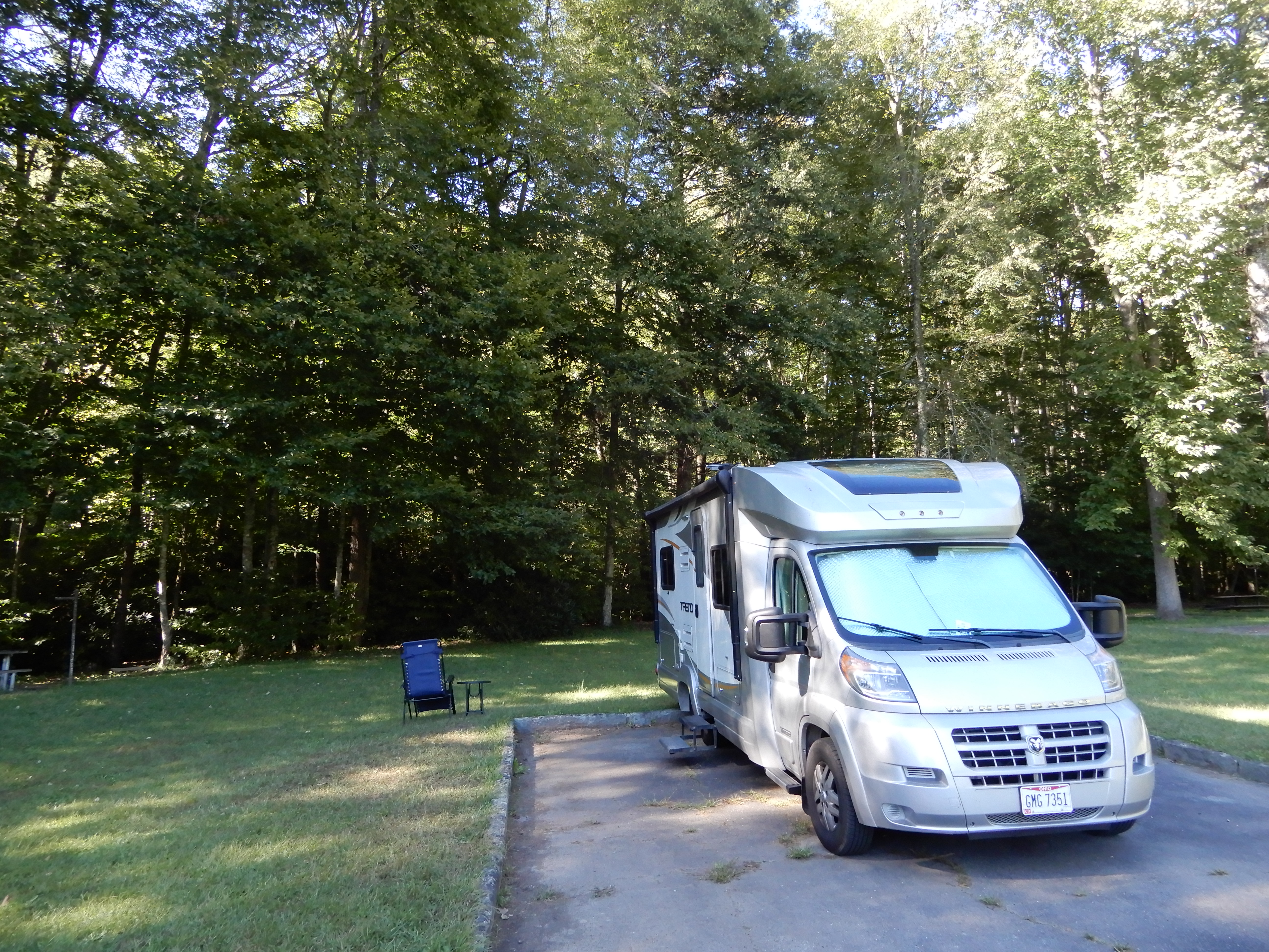
After, we continued east on Hwy. 50. It was a beautiful drive, up and down and around mountains on kickback after kickback, through forests and along rivers with a lot of wildflowers. At Clarksburg, we turned south-east on Hwy. 20 then zig-zagging (praise to Garmin) to Hwy. 38., which took us most of the way to Blackwater Falls State Park, near the Maryland state line. We set up camp about 3:30 then crashed.
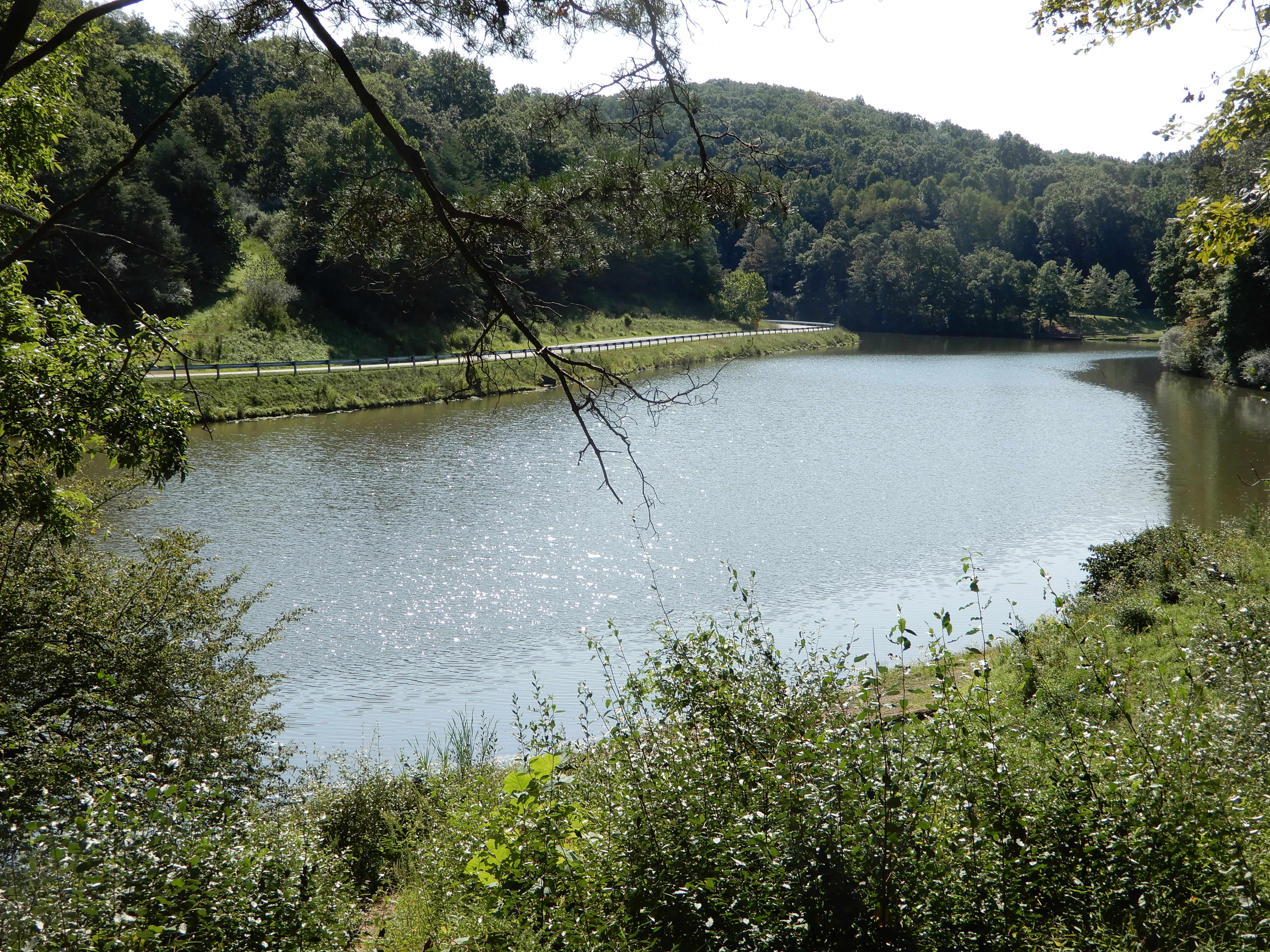
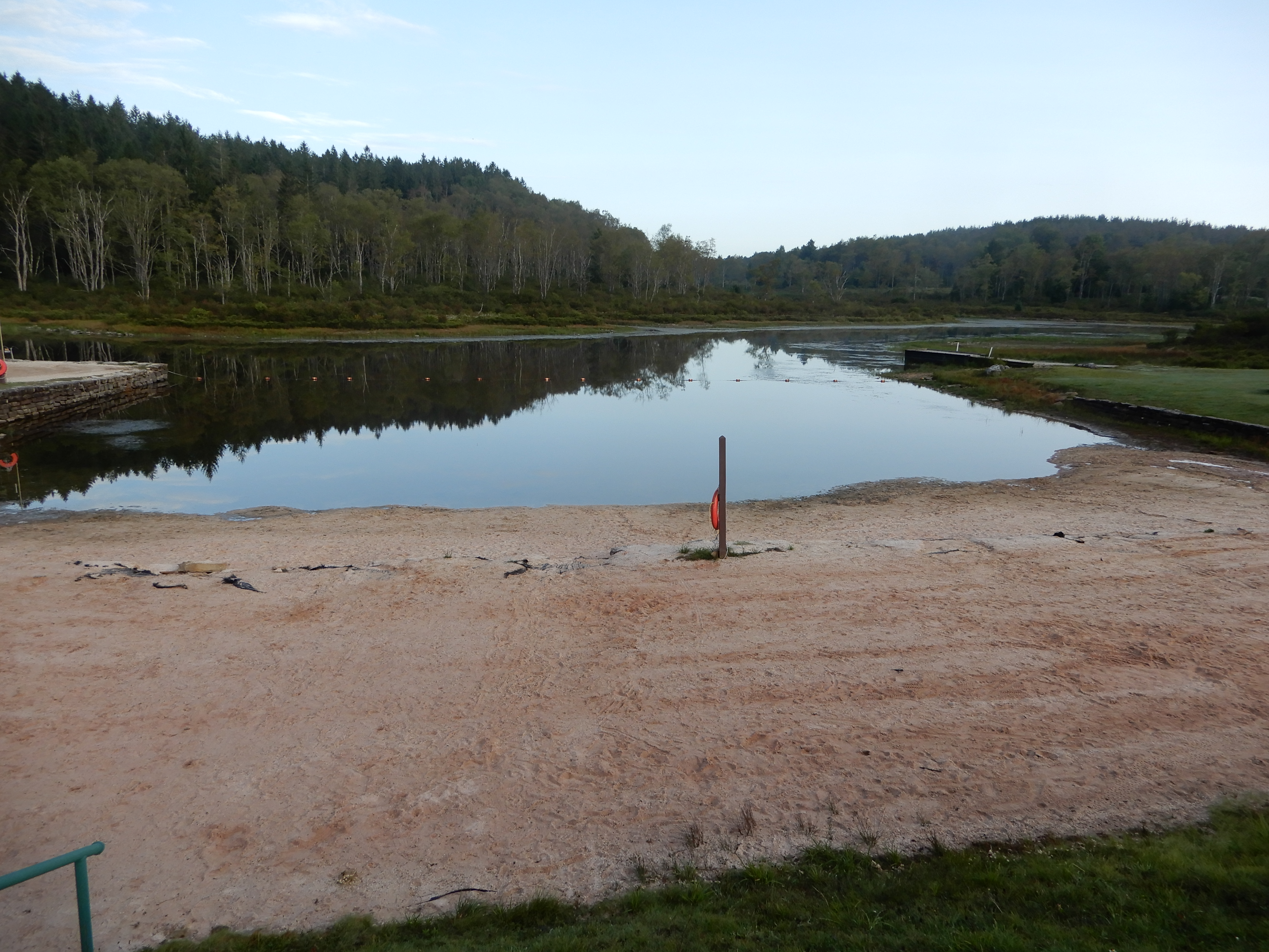
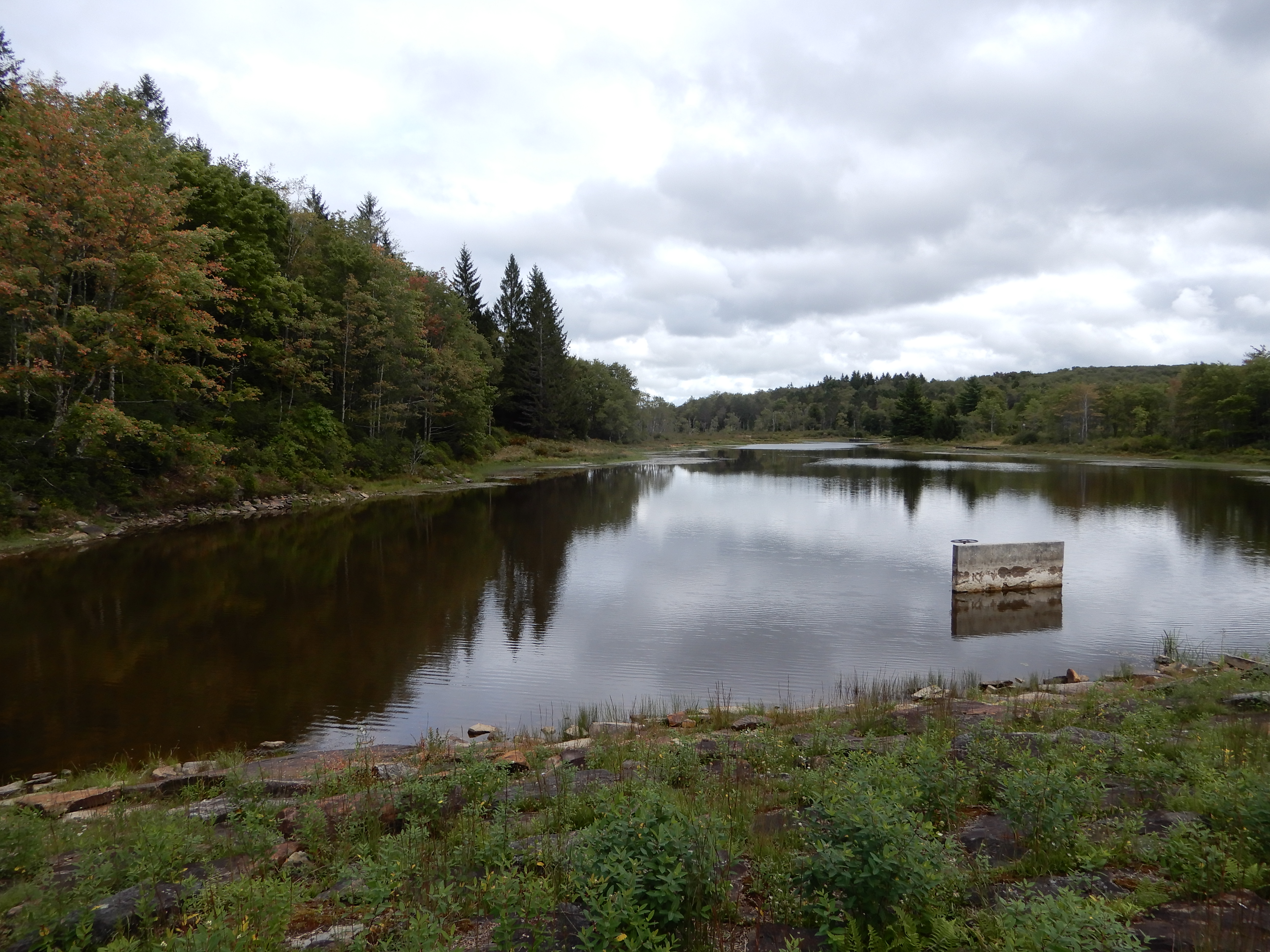
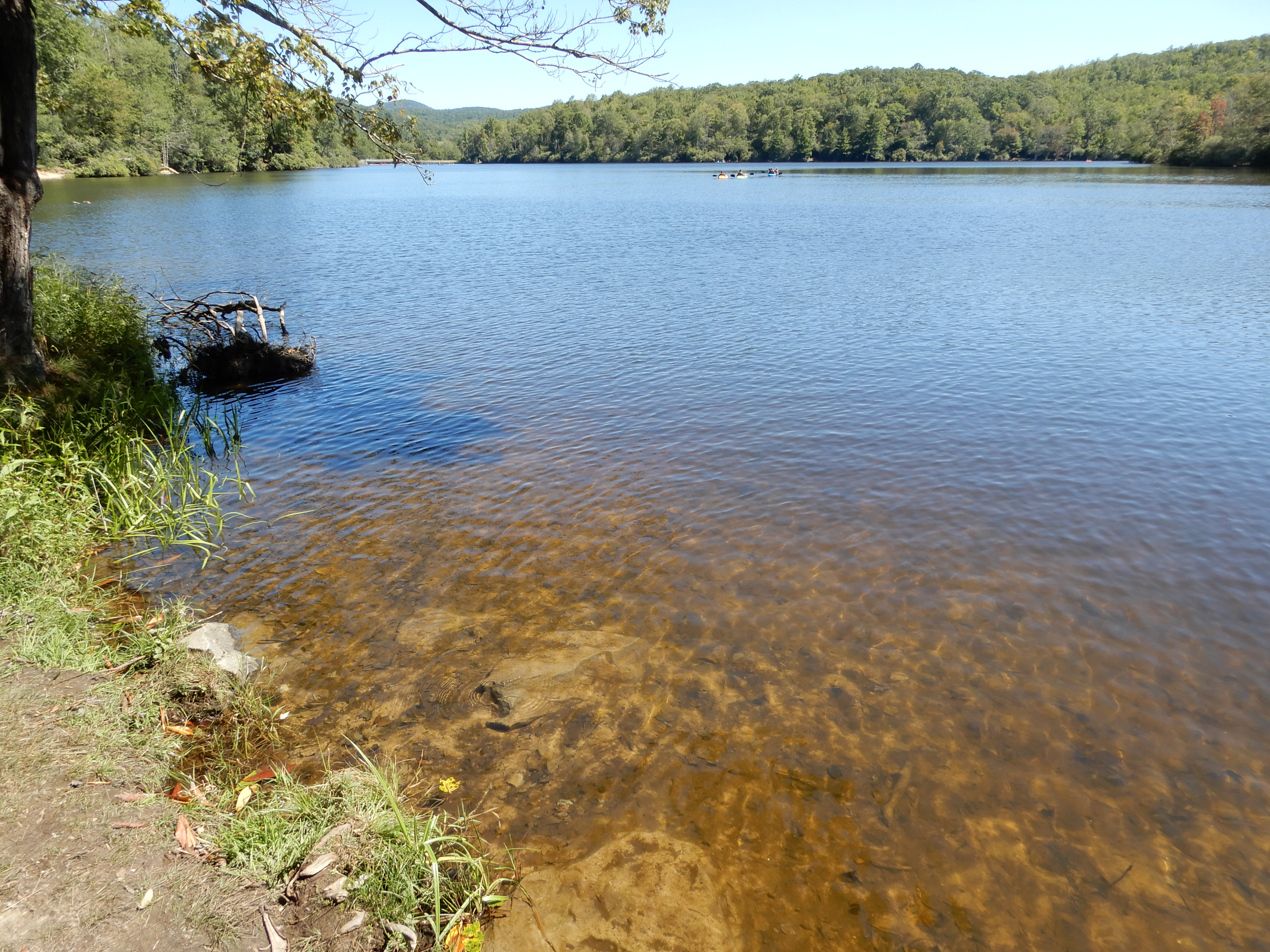
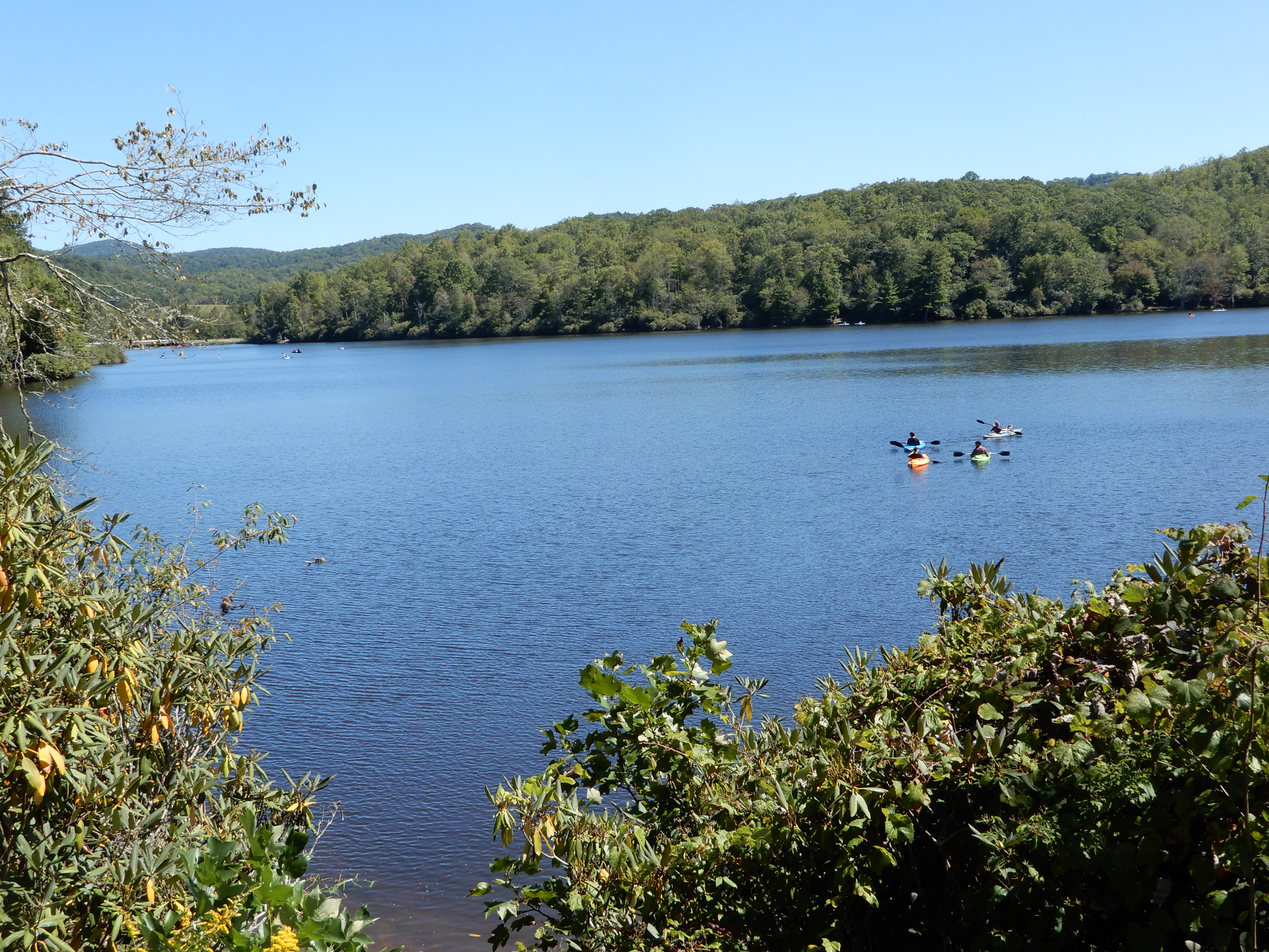
After dinner, we walked around the campground. The following morning we drove around to see the rest of the park. Starting with the lake.
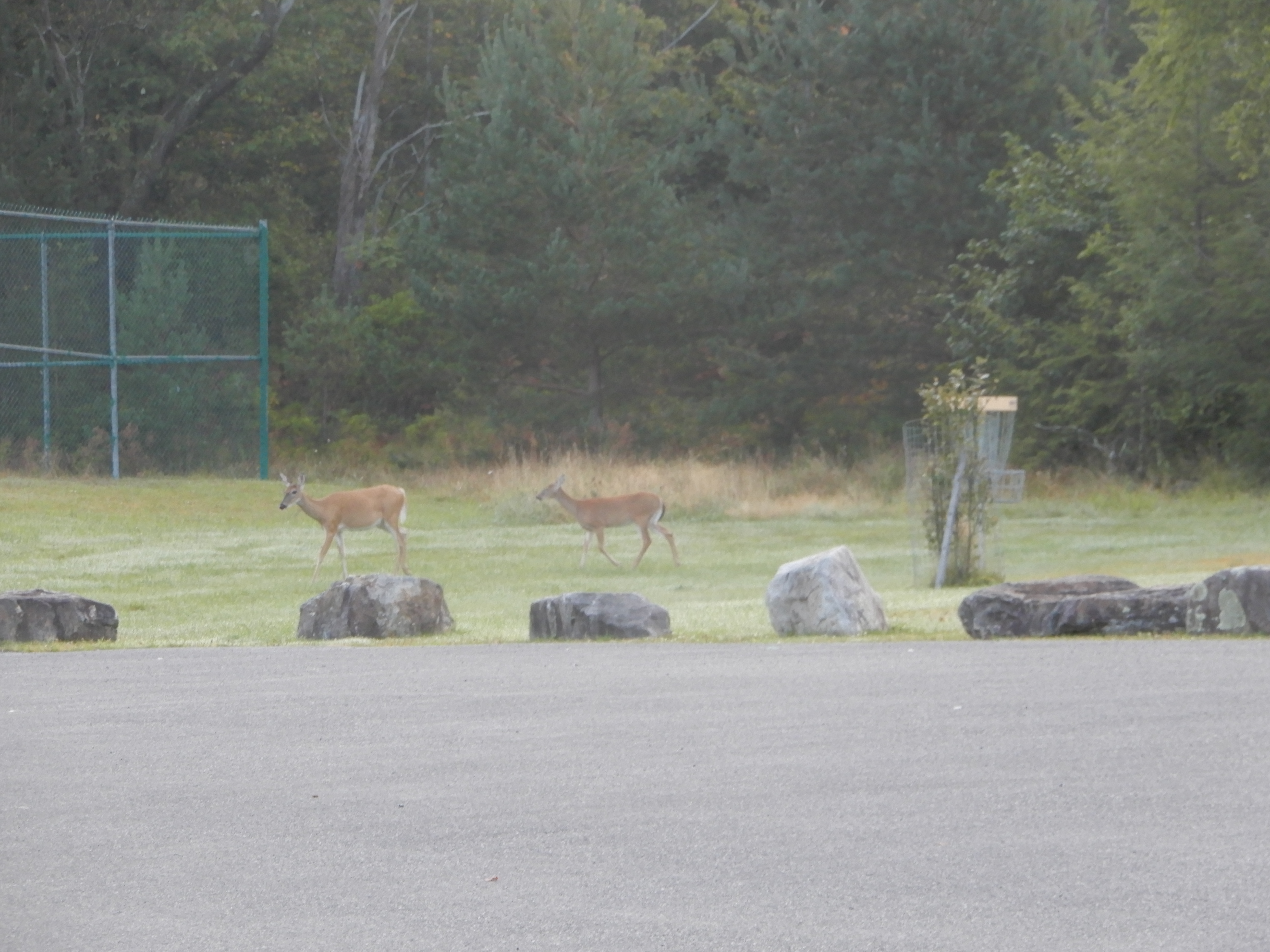
A couple of deer playing disc golf.
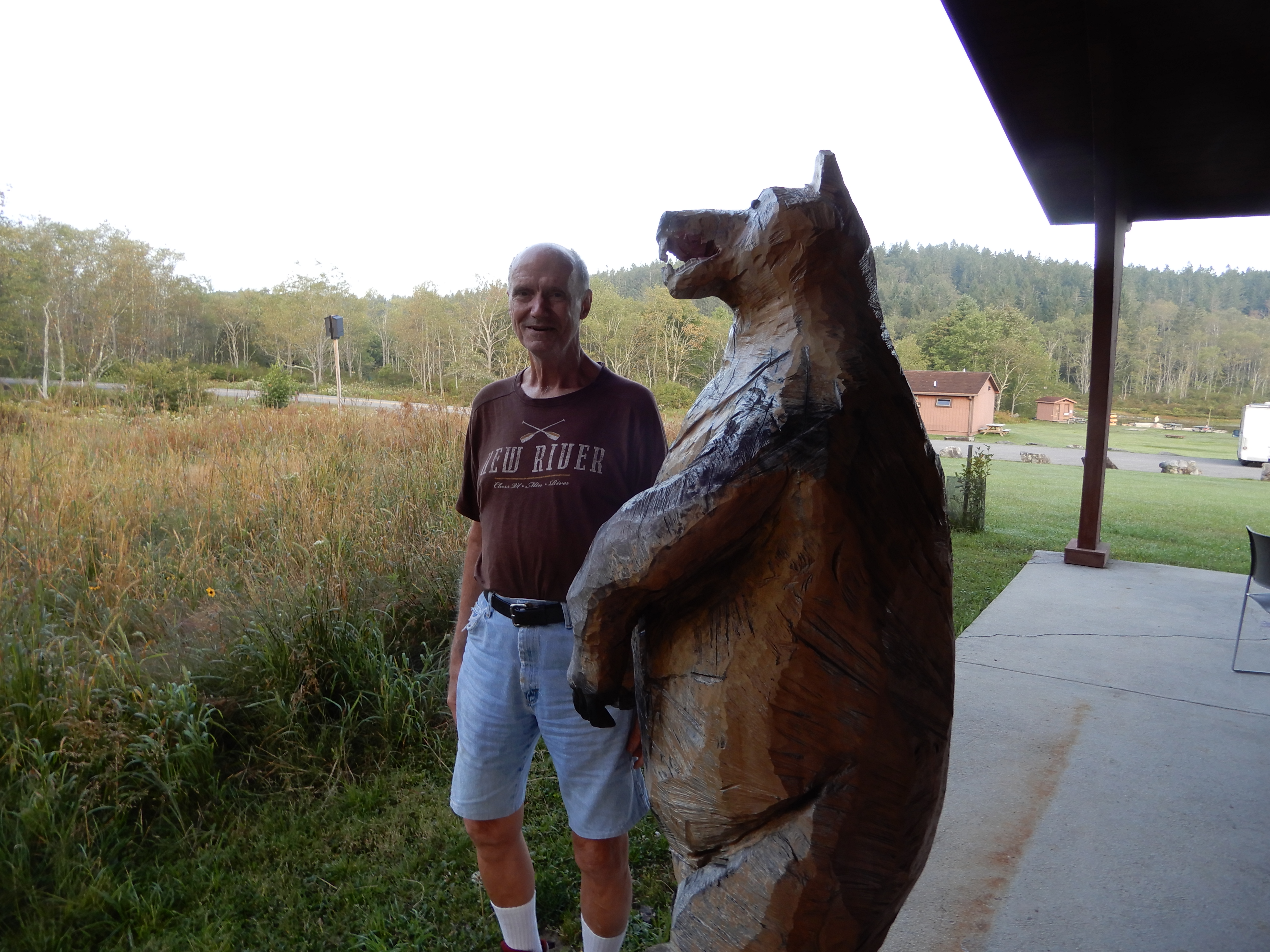
Outside the Nordic Center (closed because of Covid) I found a bear.
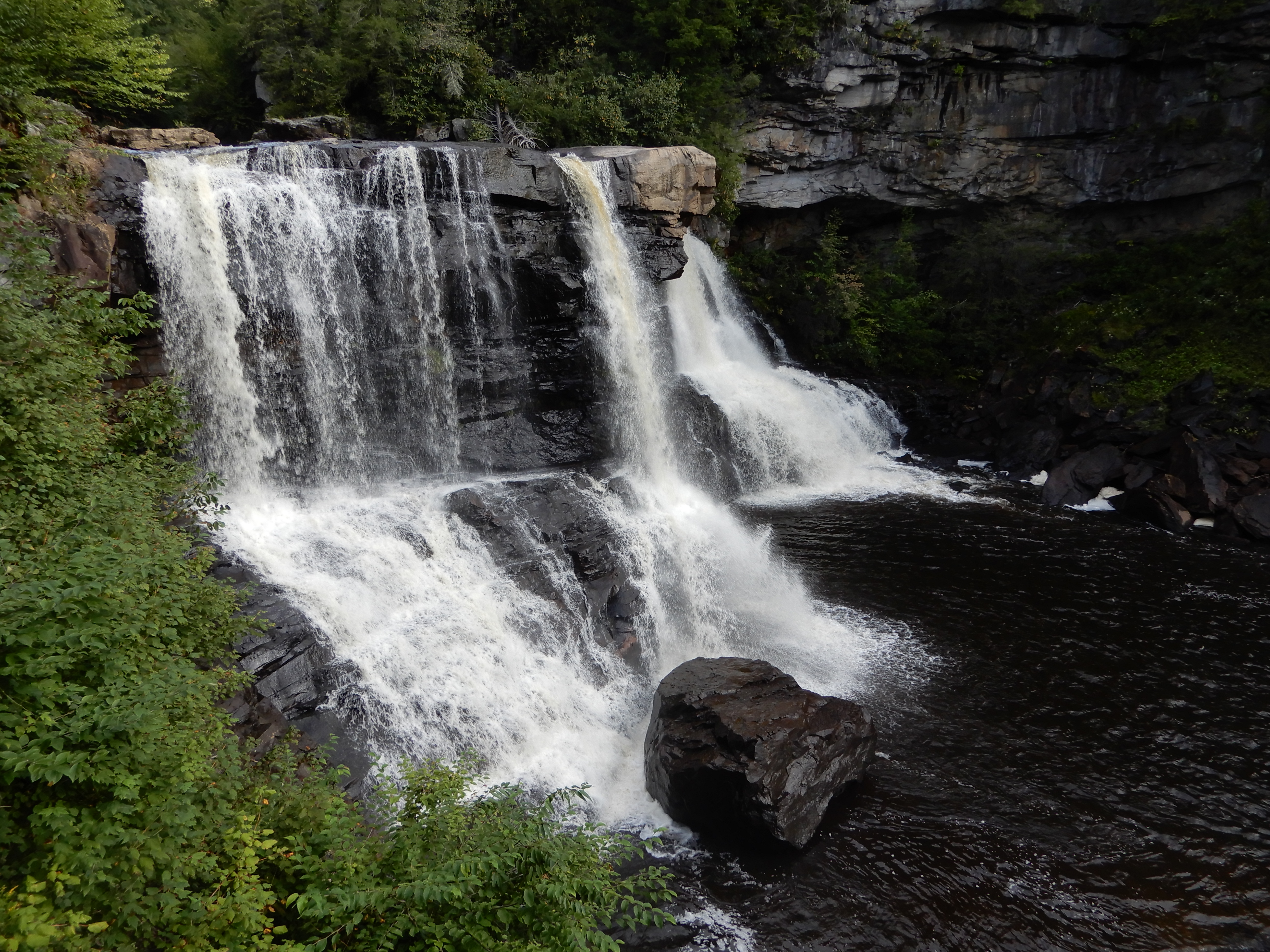
We stopped at the falls overlook. They couldn’t close that.
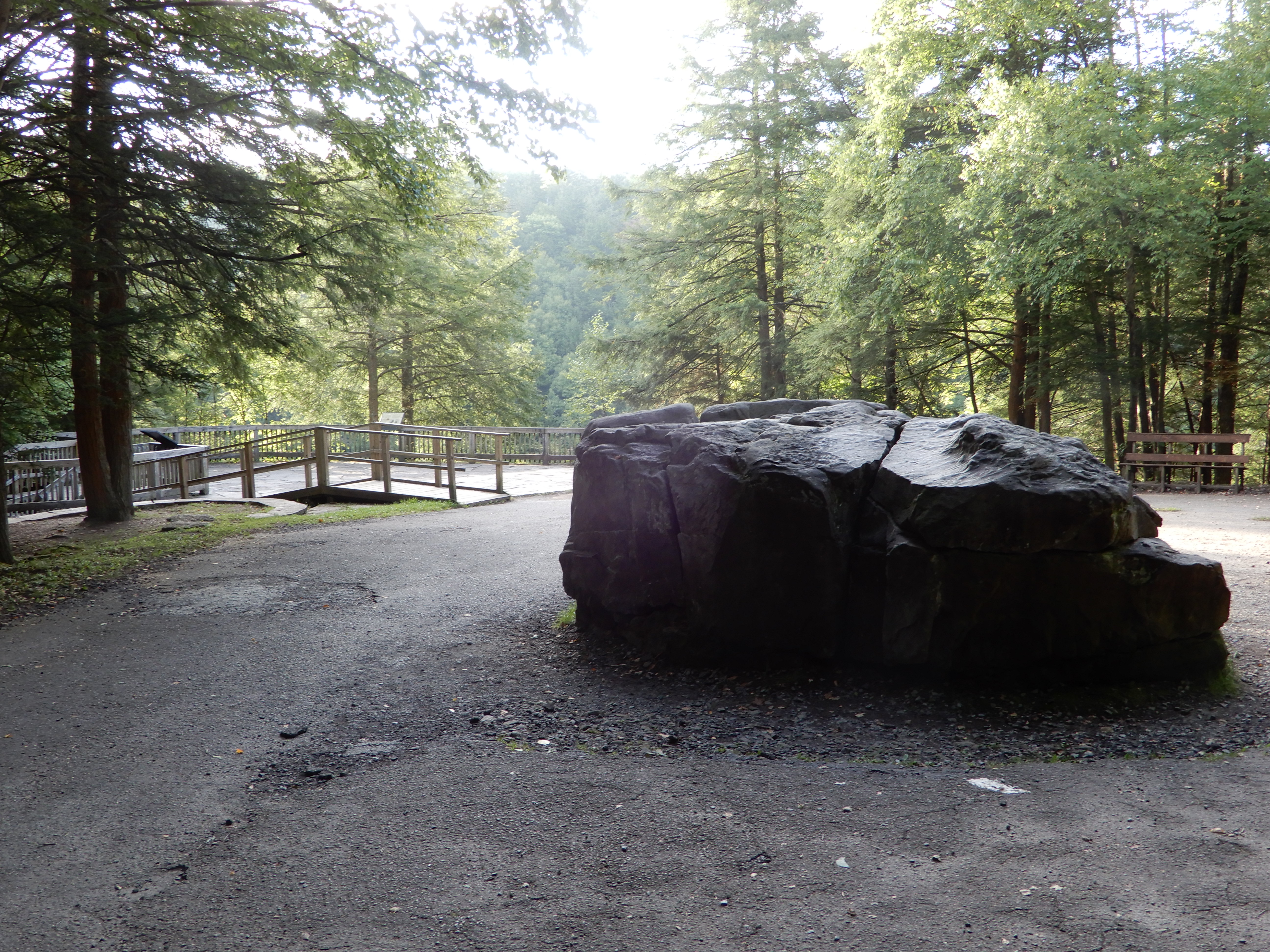
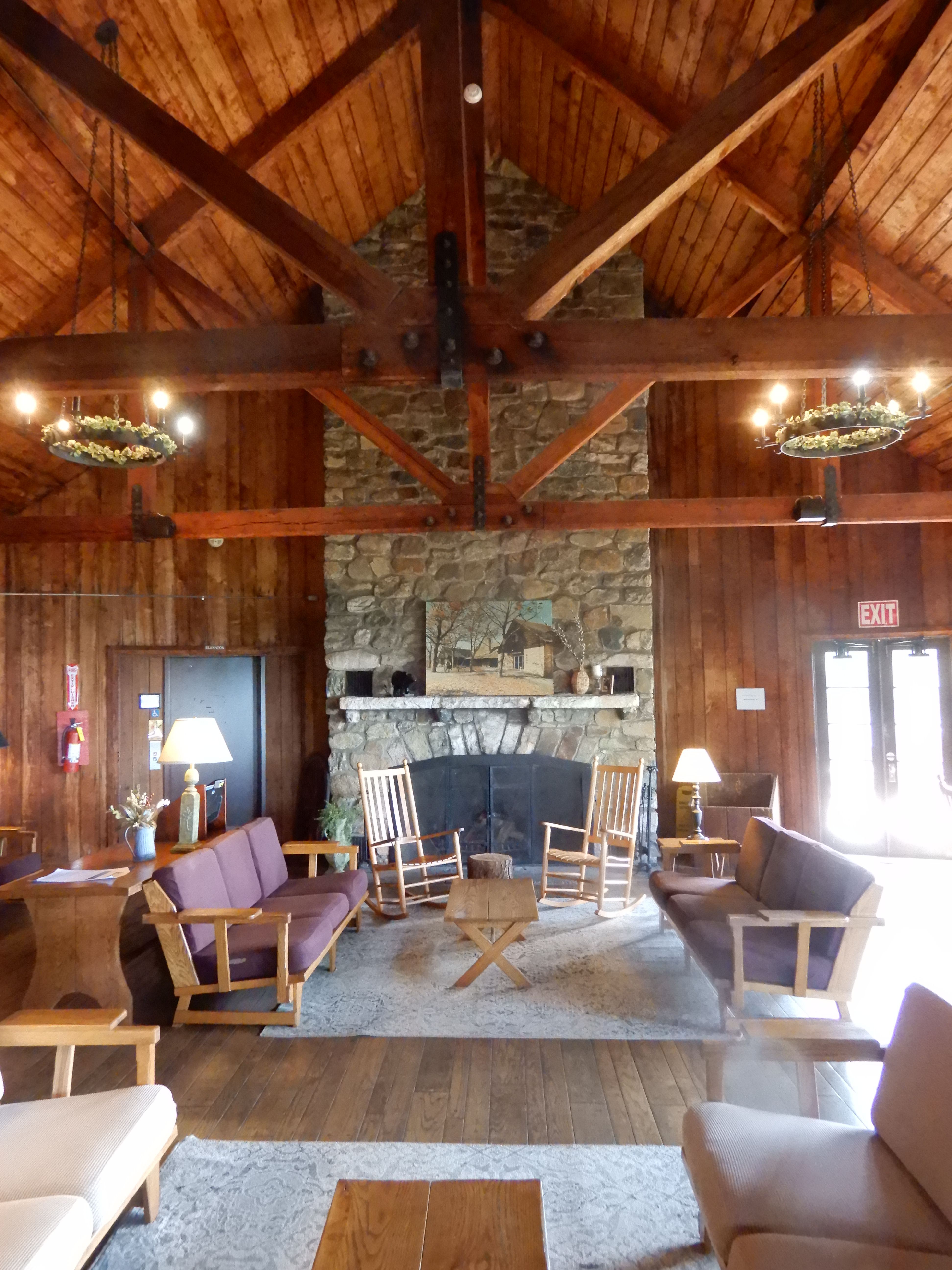
We stopped at the lodge (closed because of Covid).

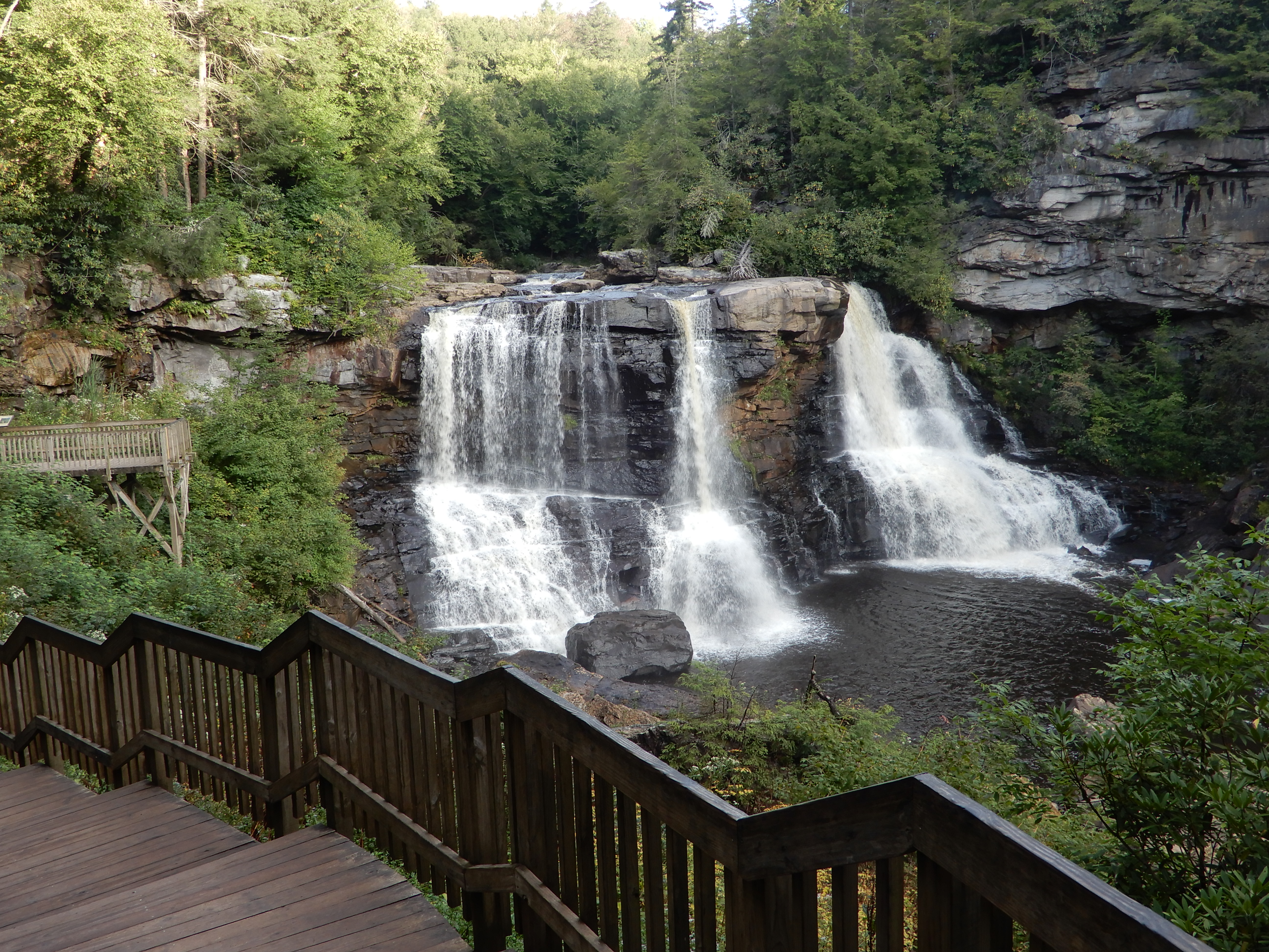
Which had a good overlook.

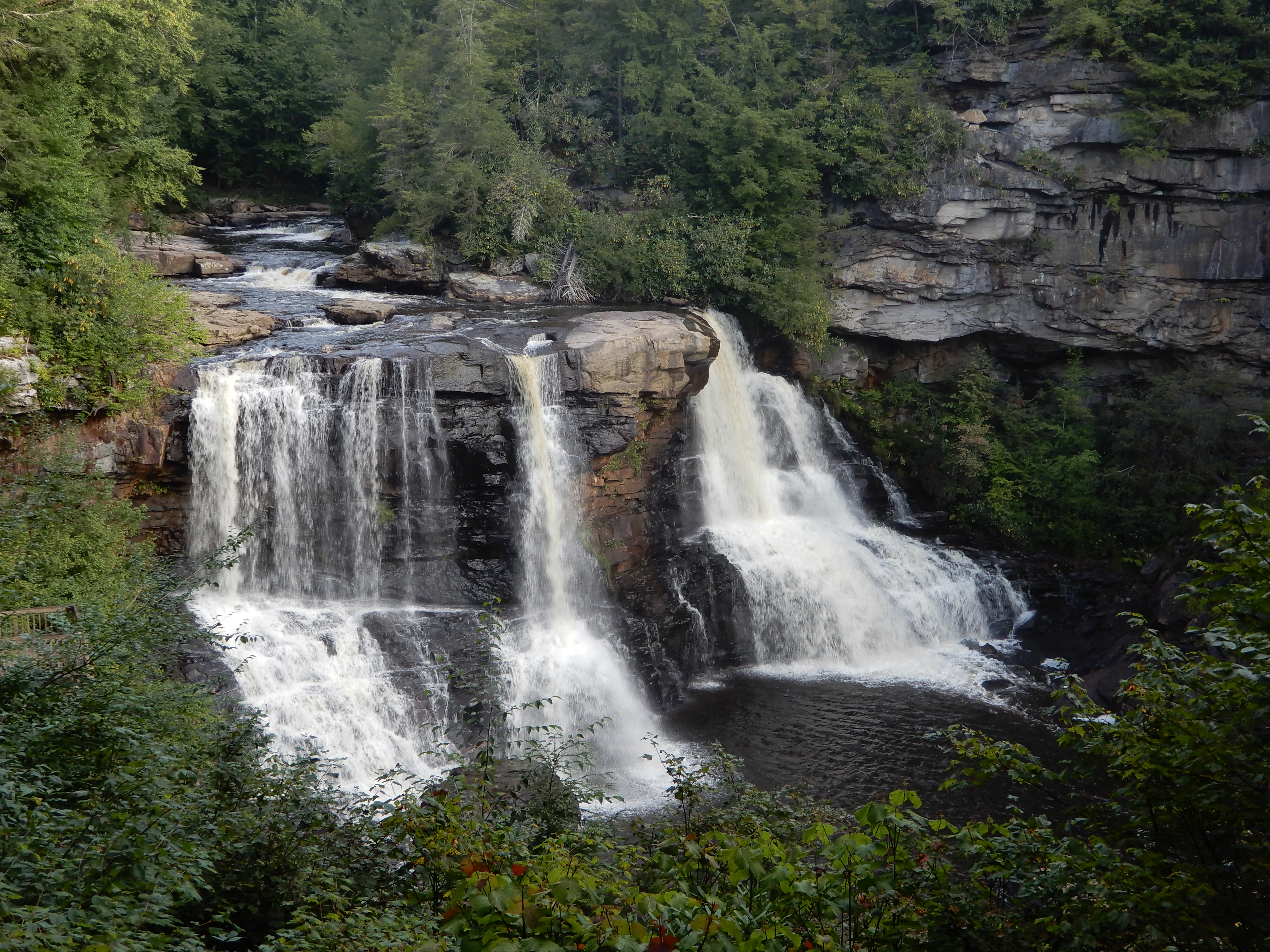
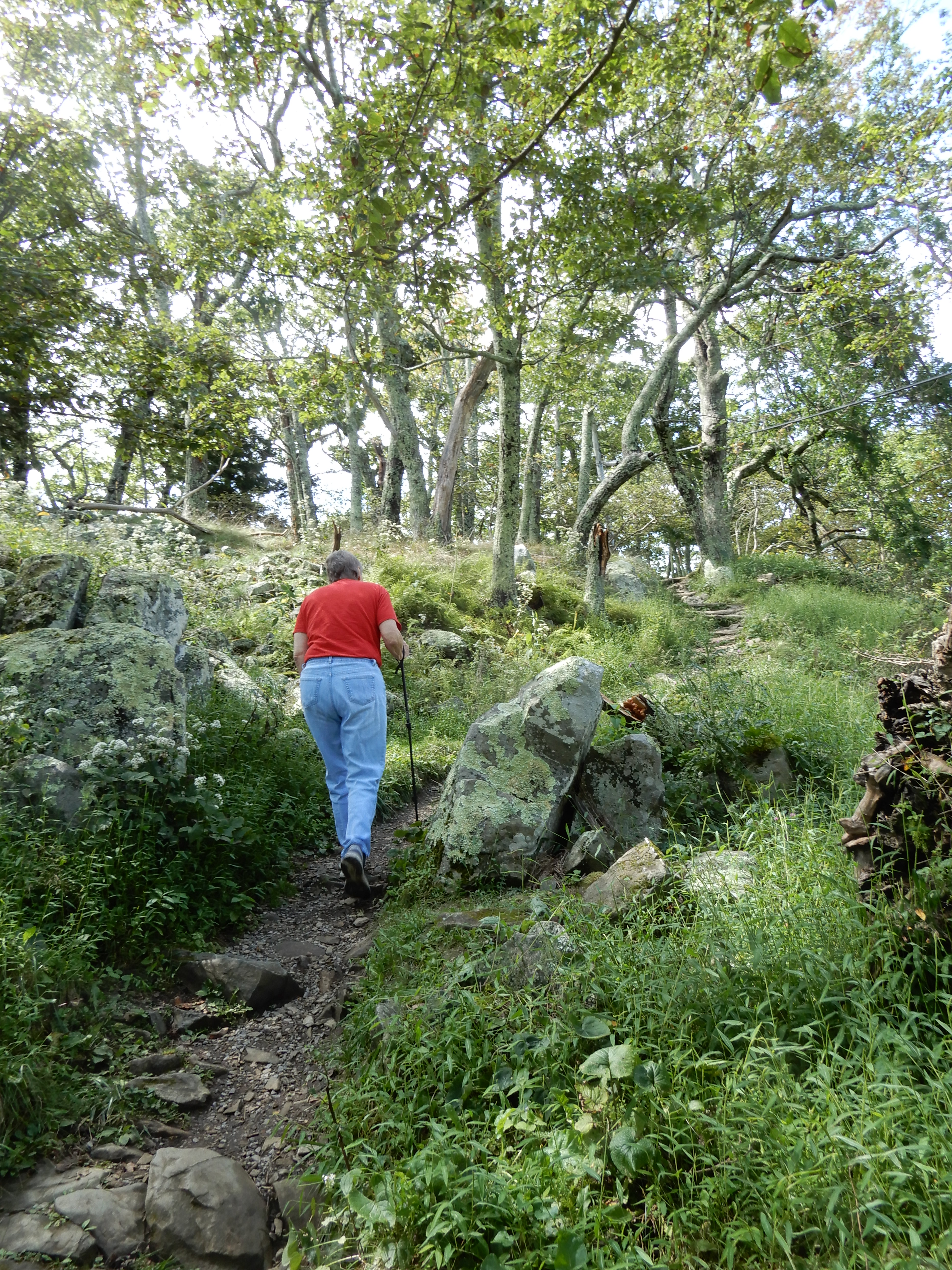
We hiked a short trail.
To another overlook.

After that we returned to our site for lunch.
American Locations 2: Skyline Drive-Blue Ridge Parkway-Smoky Mountains trip (fall, 2020) – Blackwater Falls SP, West Virginia 2
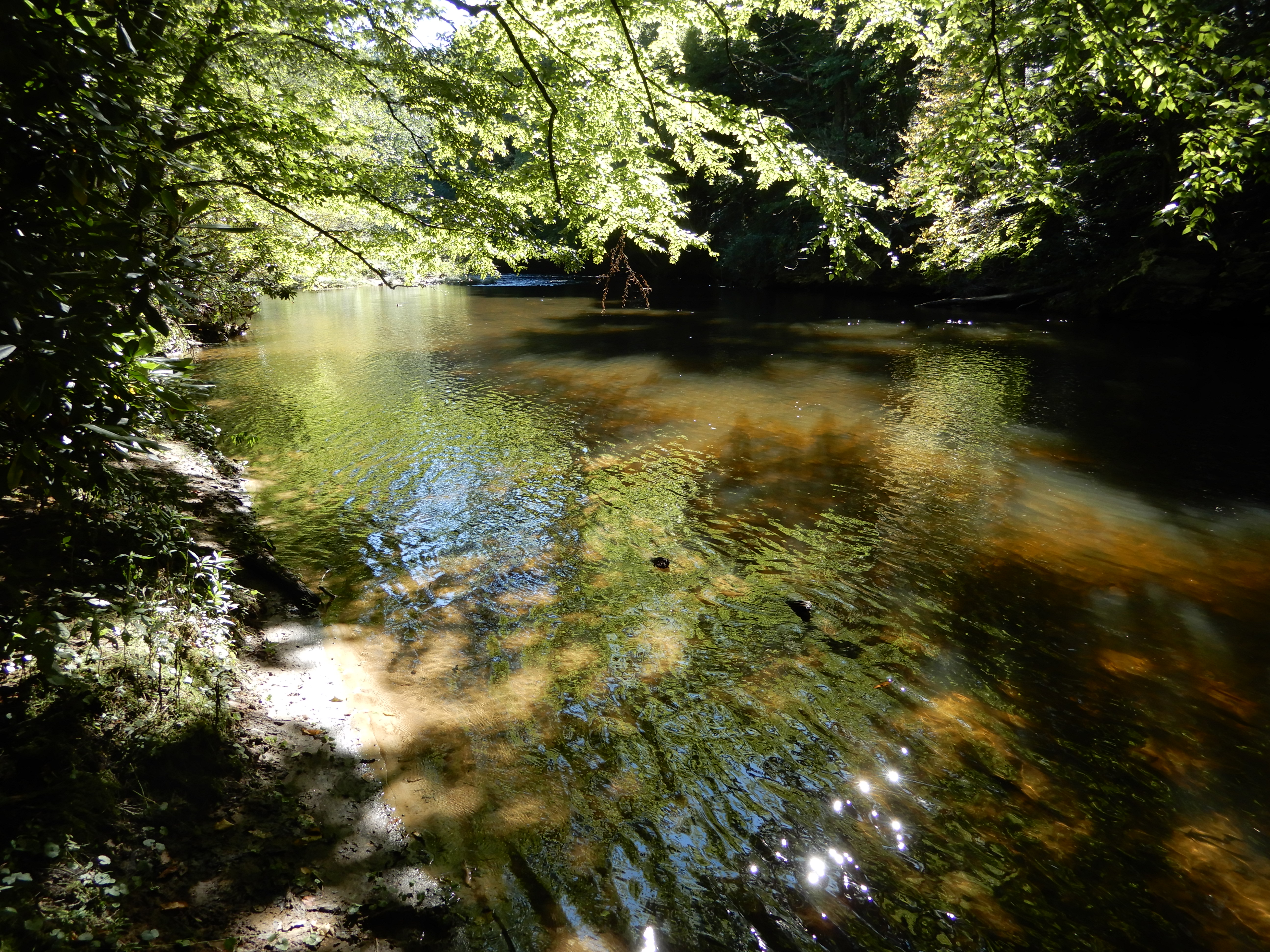
Early that afternoon I hiked from the campground down to the lake.
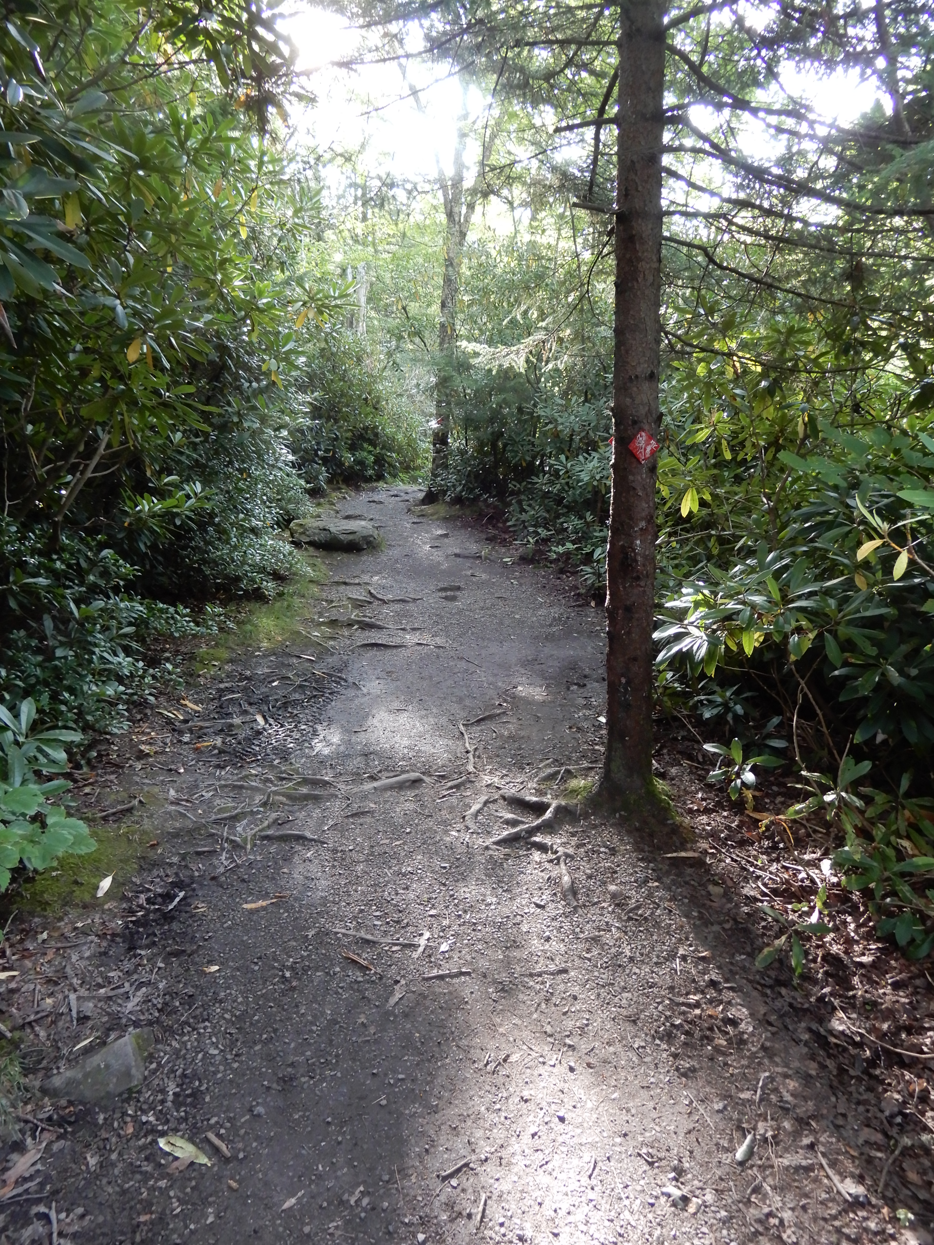
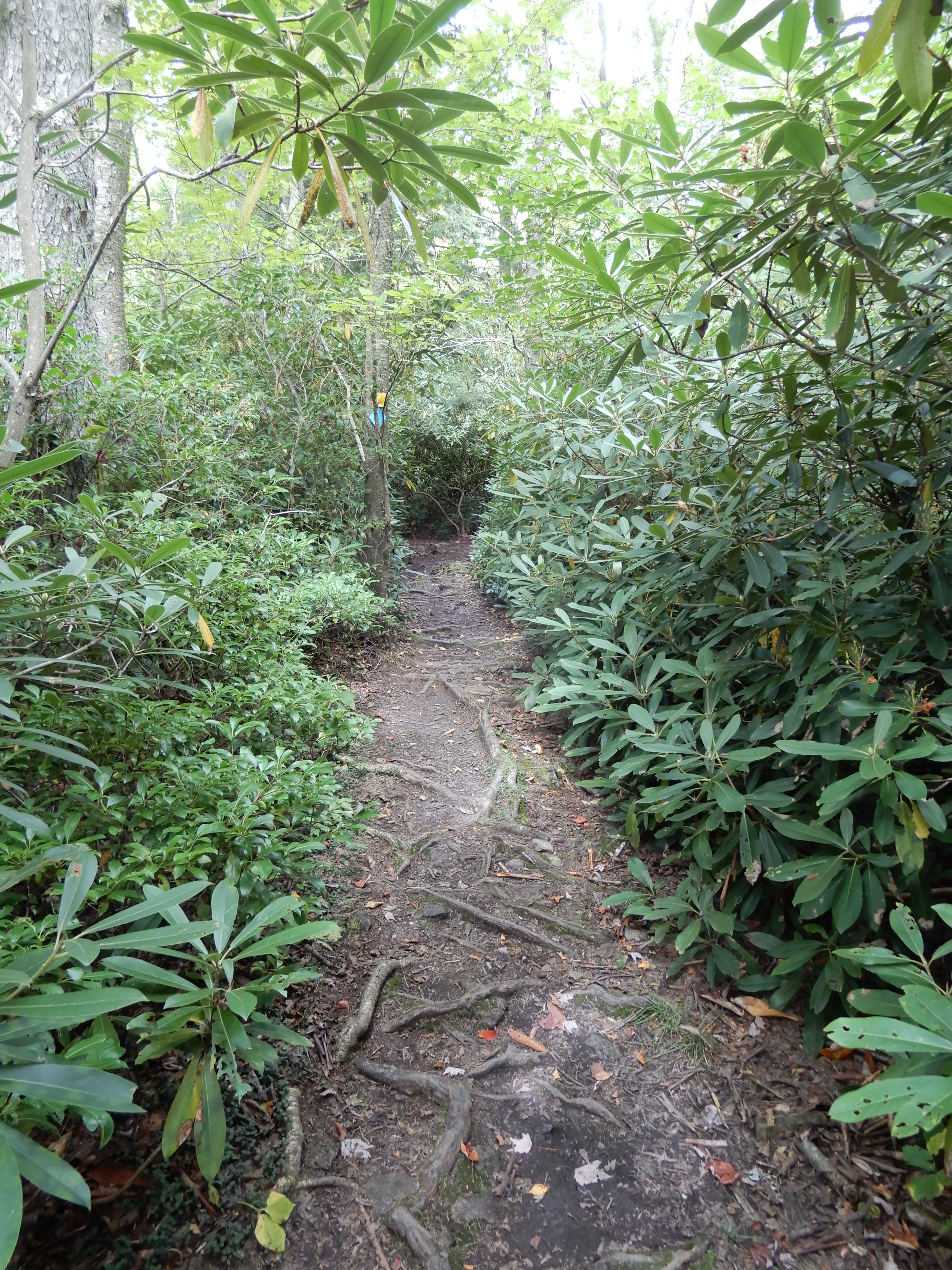
There I got on the Dobbins House Trail, which followed along the canyon rim.
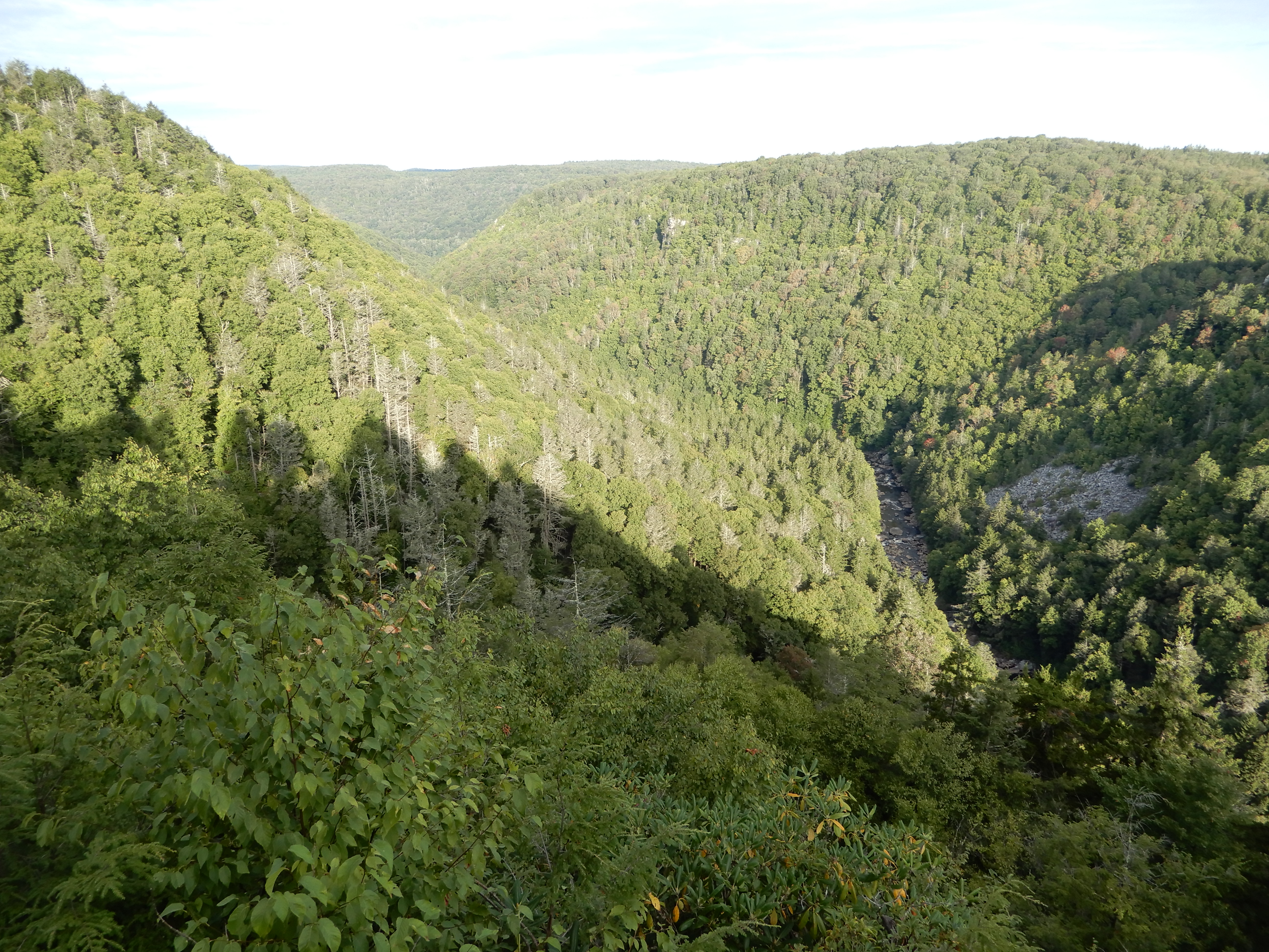
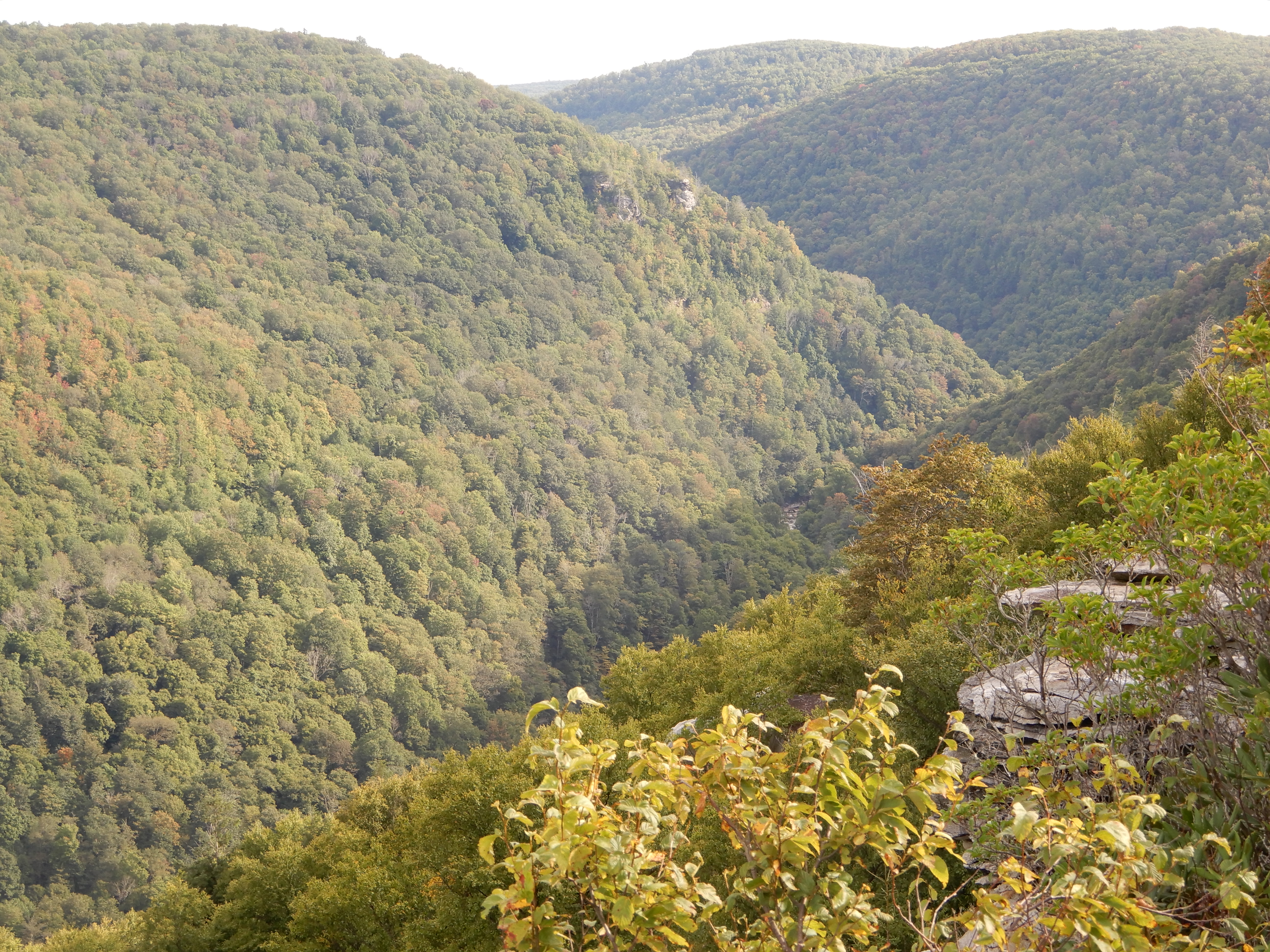
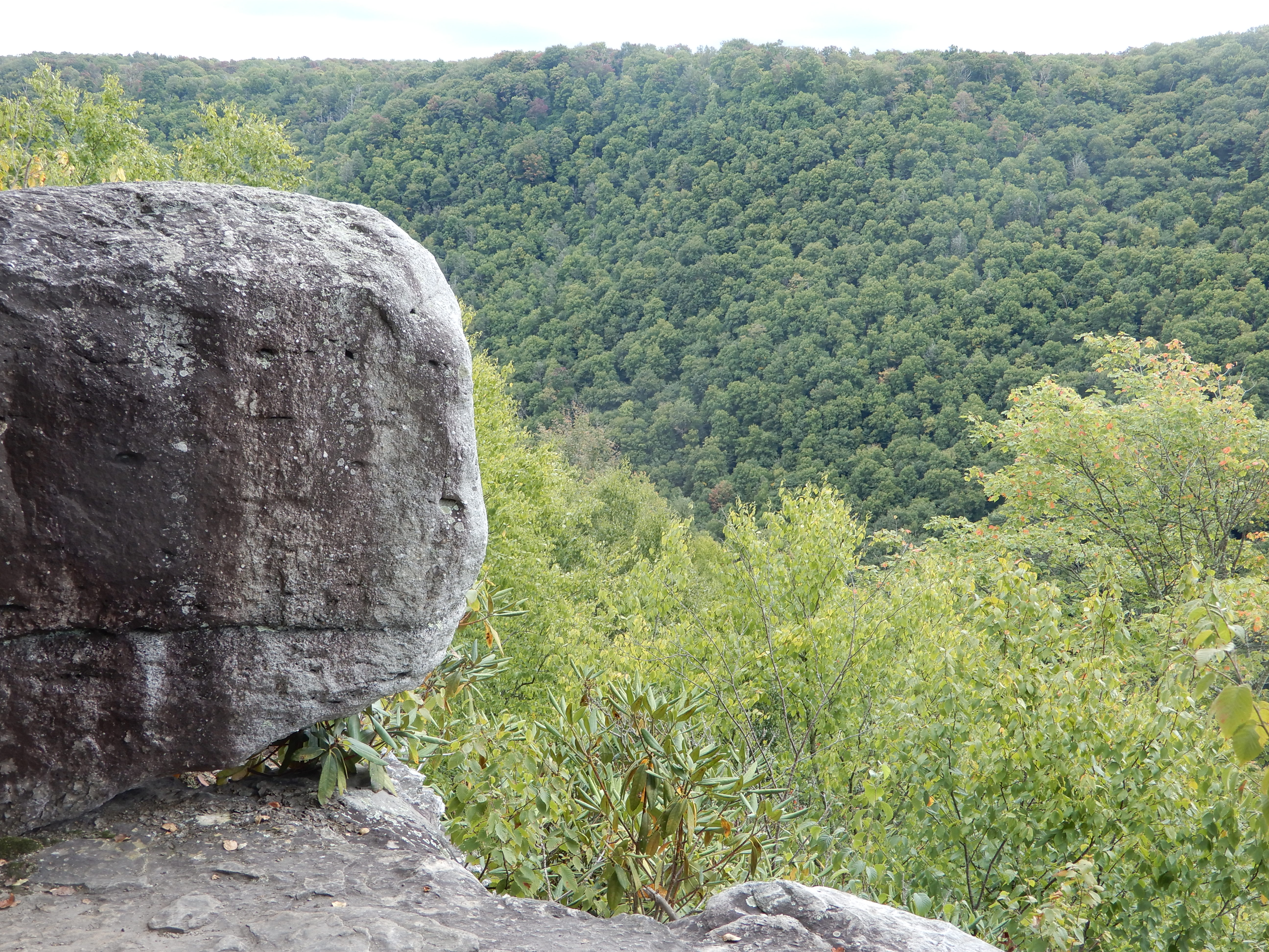
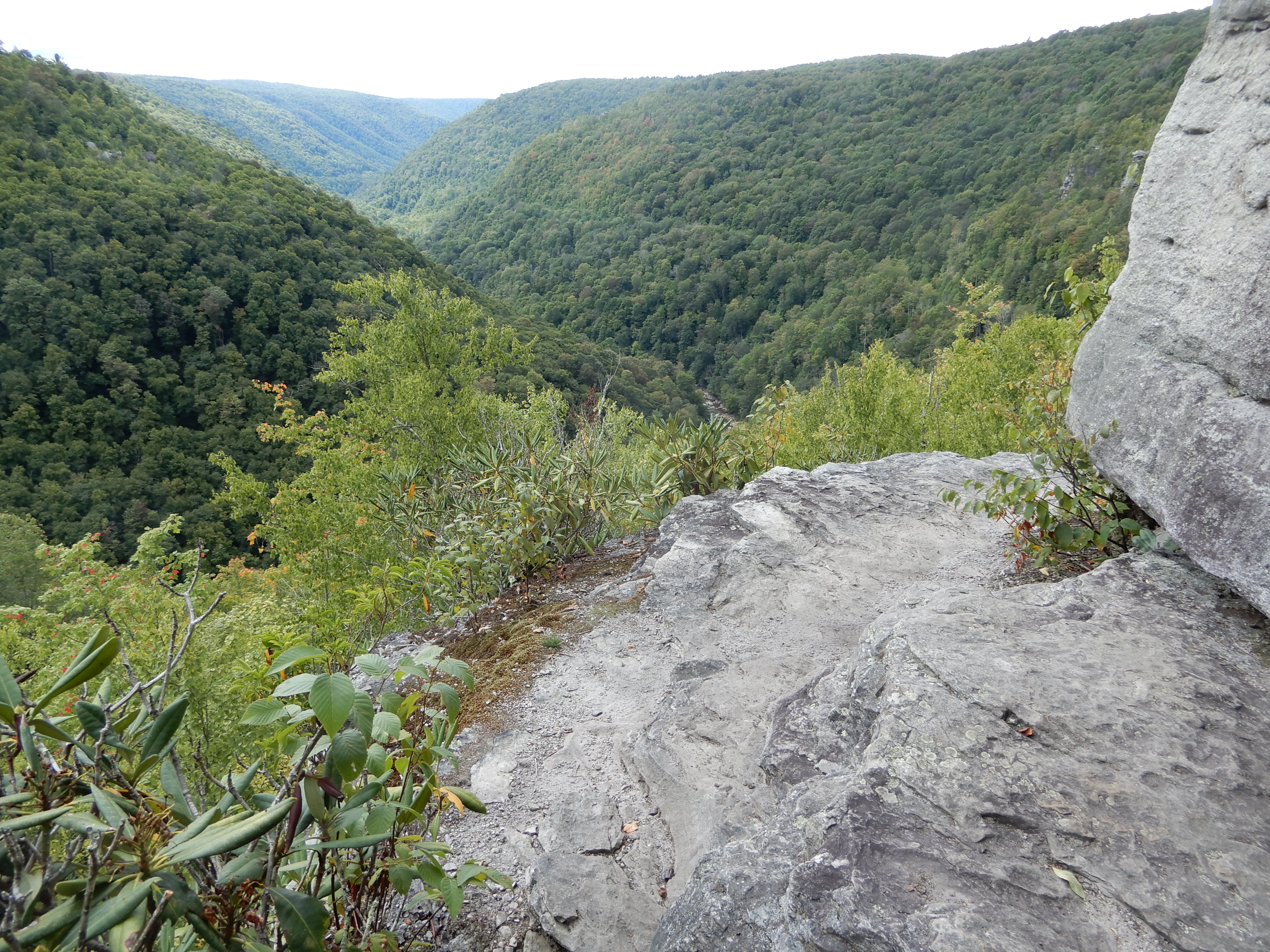
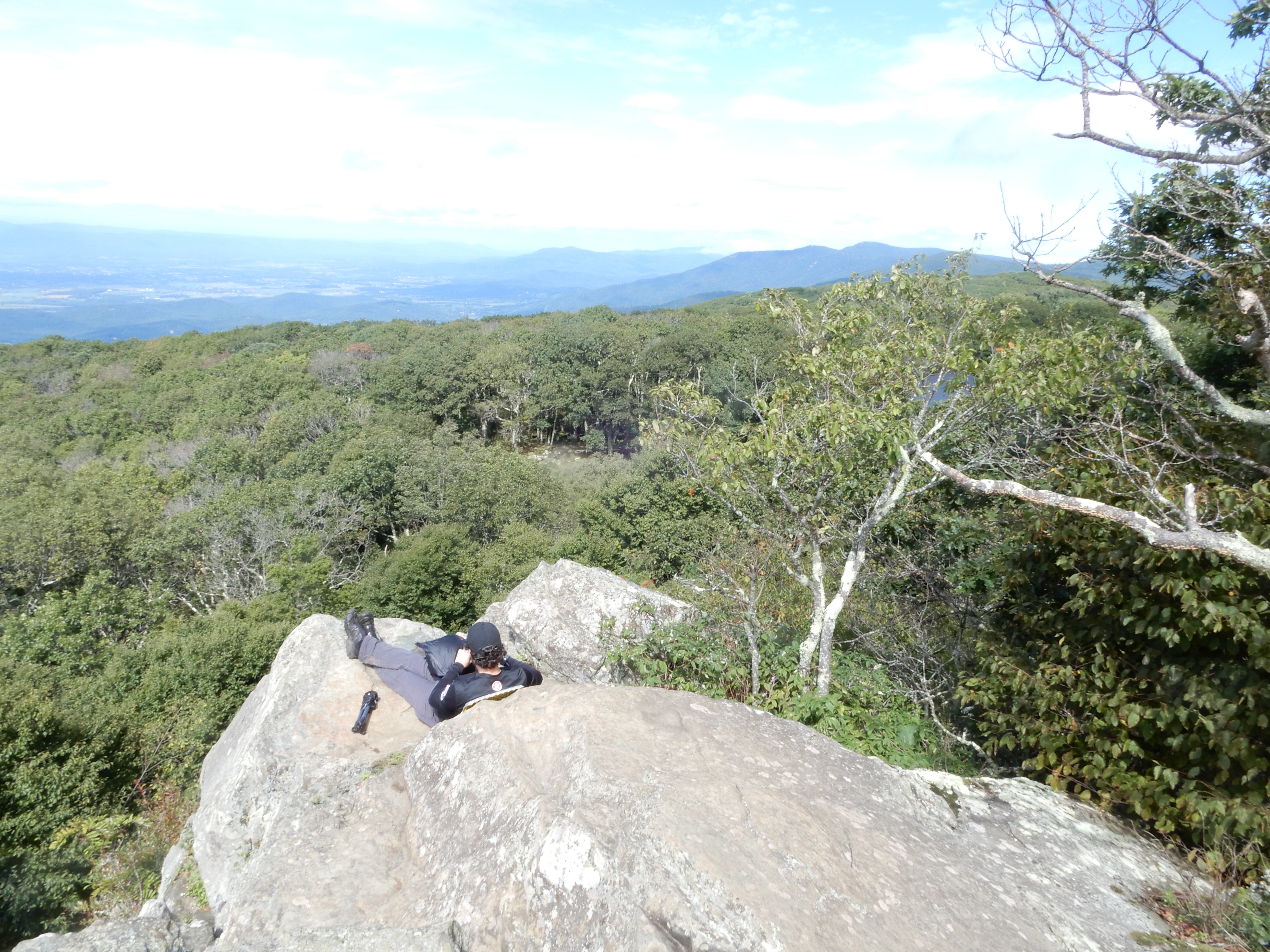
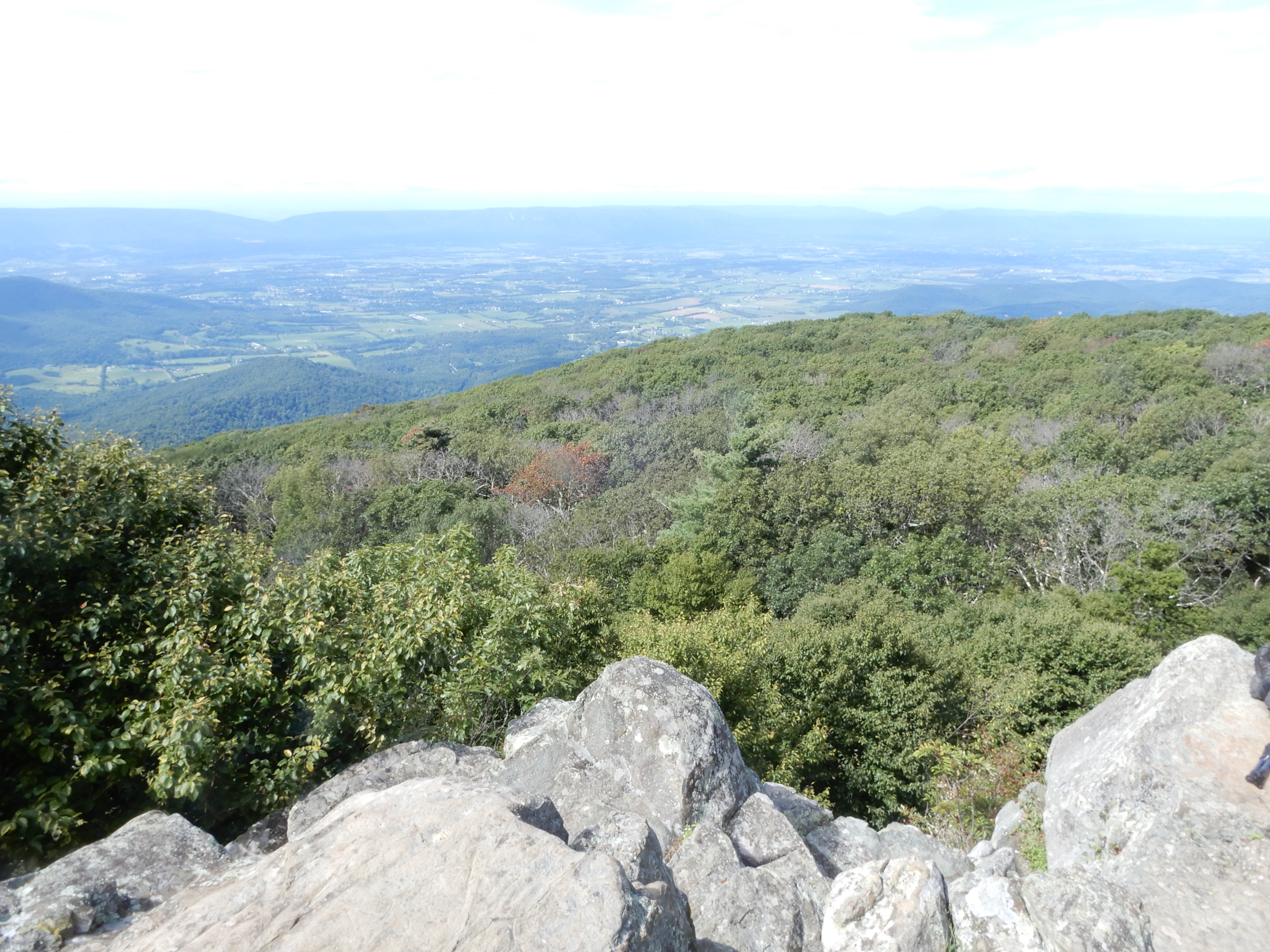
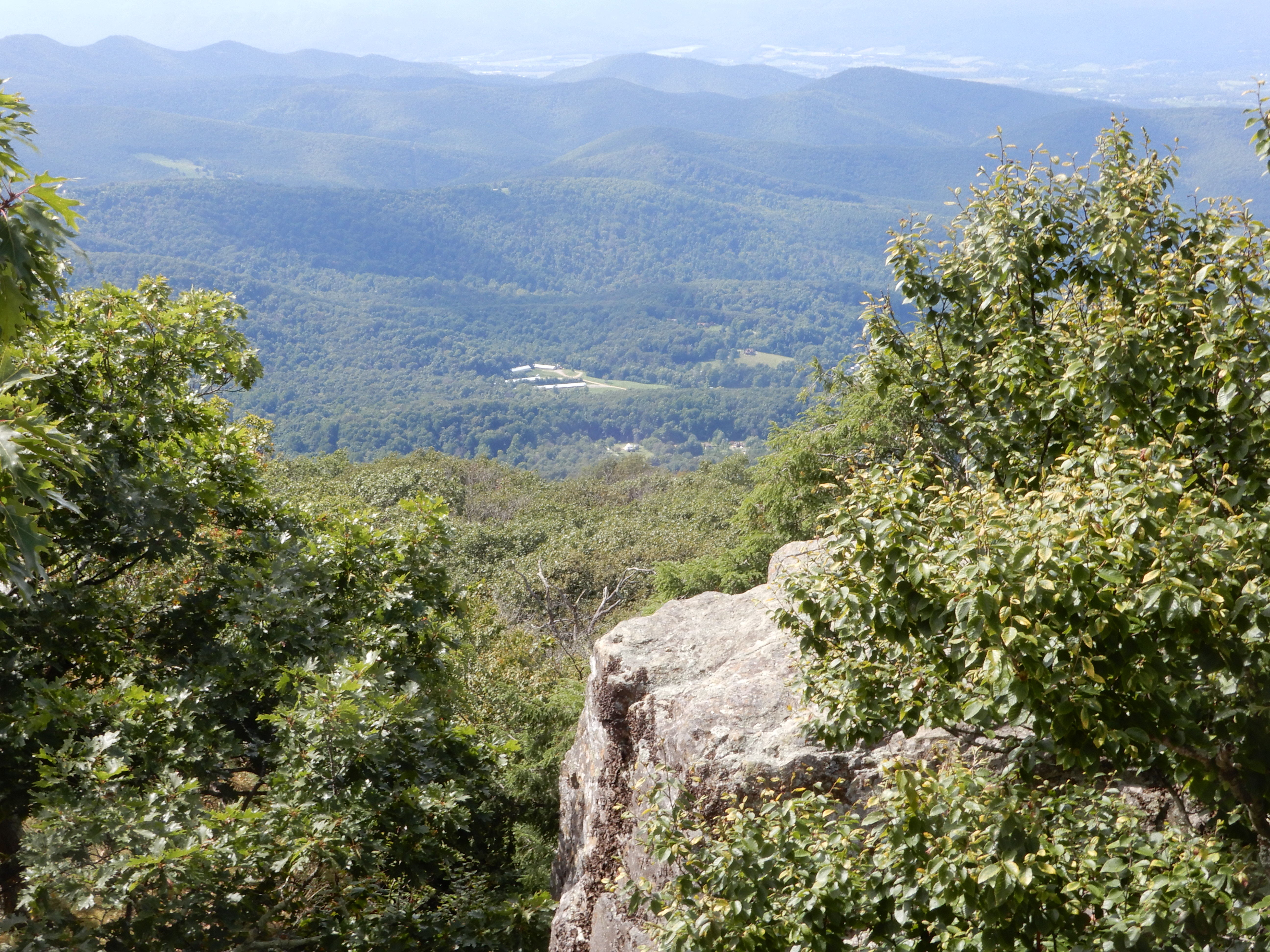
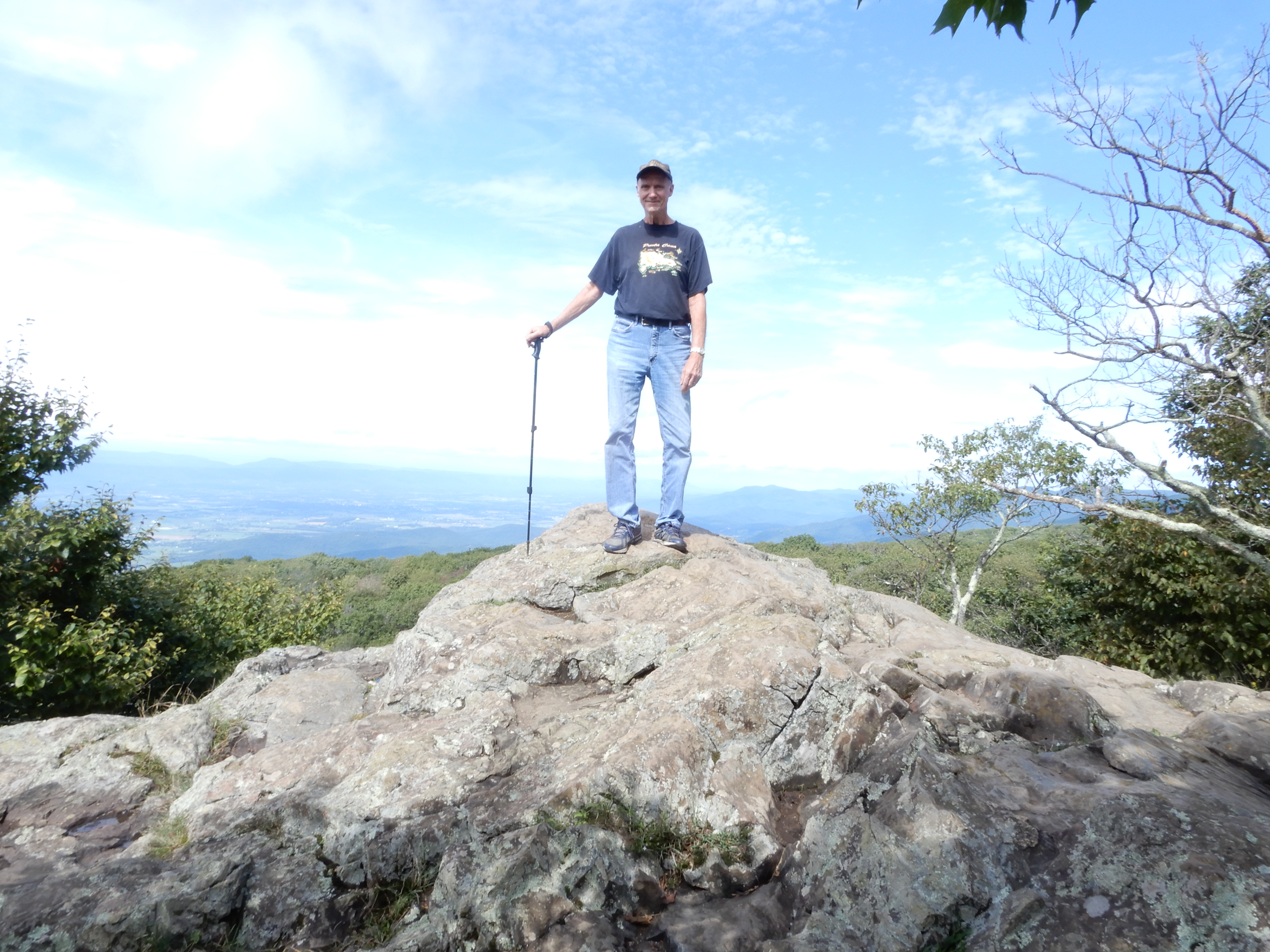
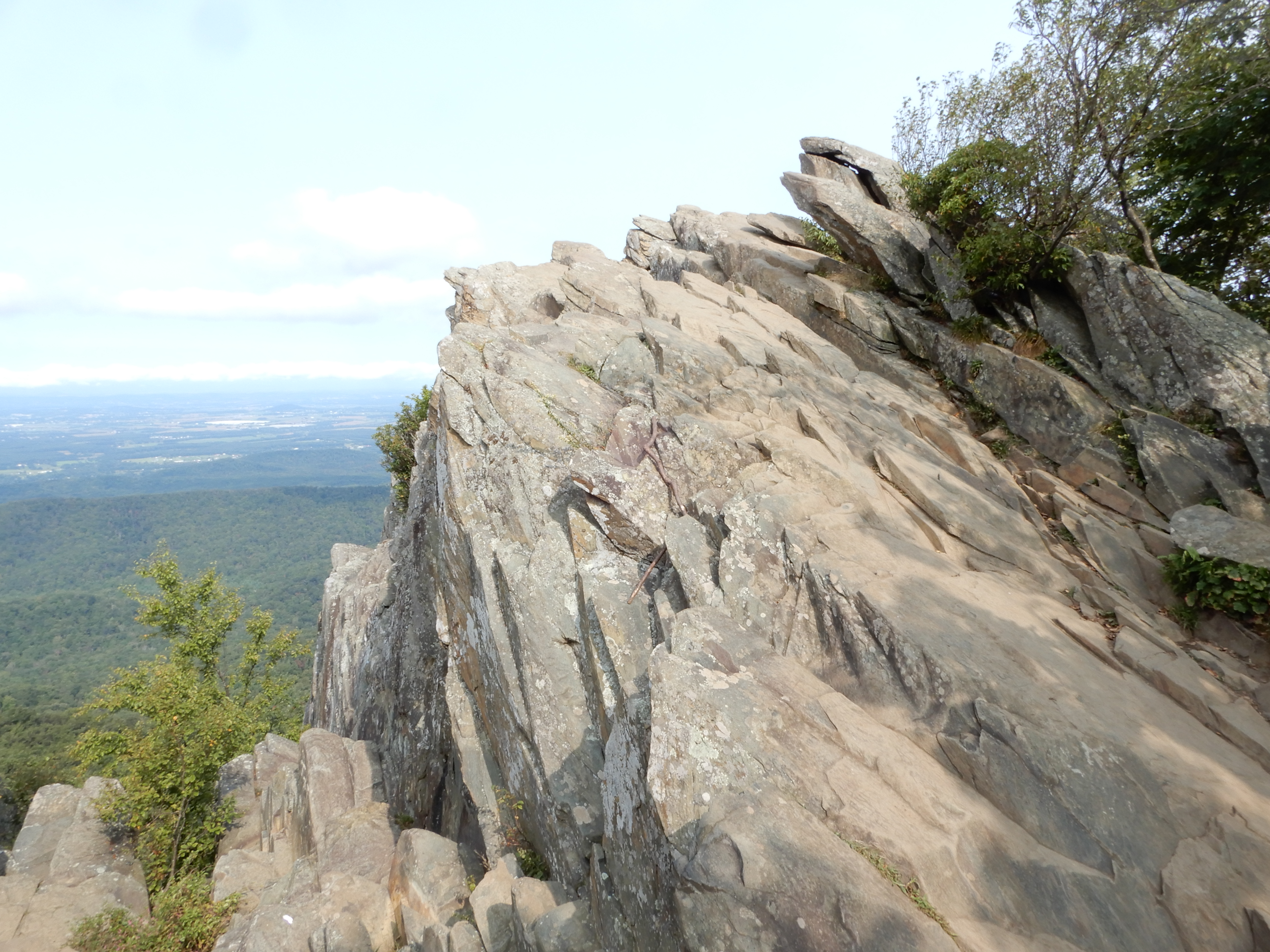
It led to Pase Point, a collection of big rocks jutting out over the canyon, a great view.
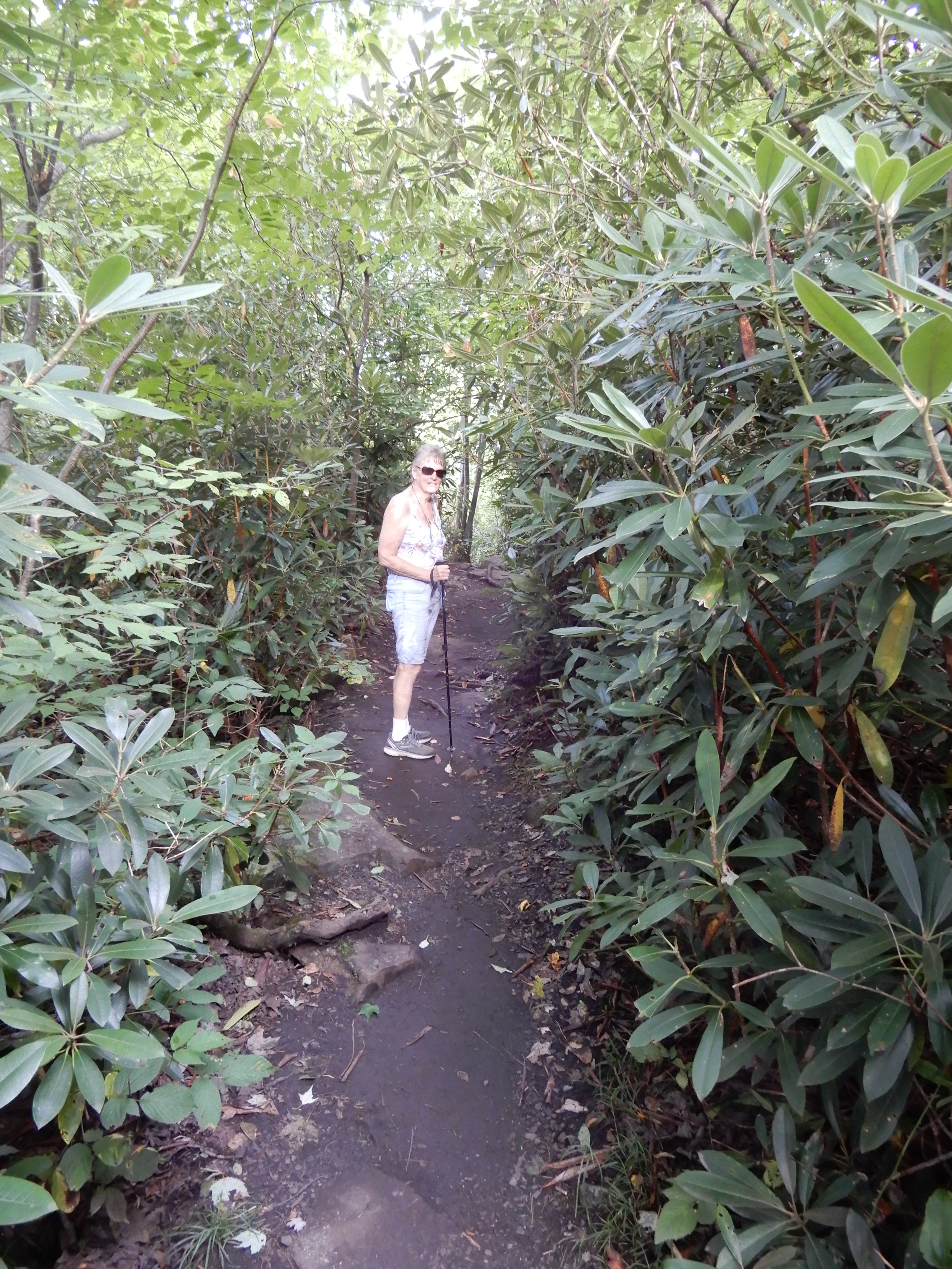
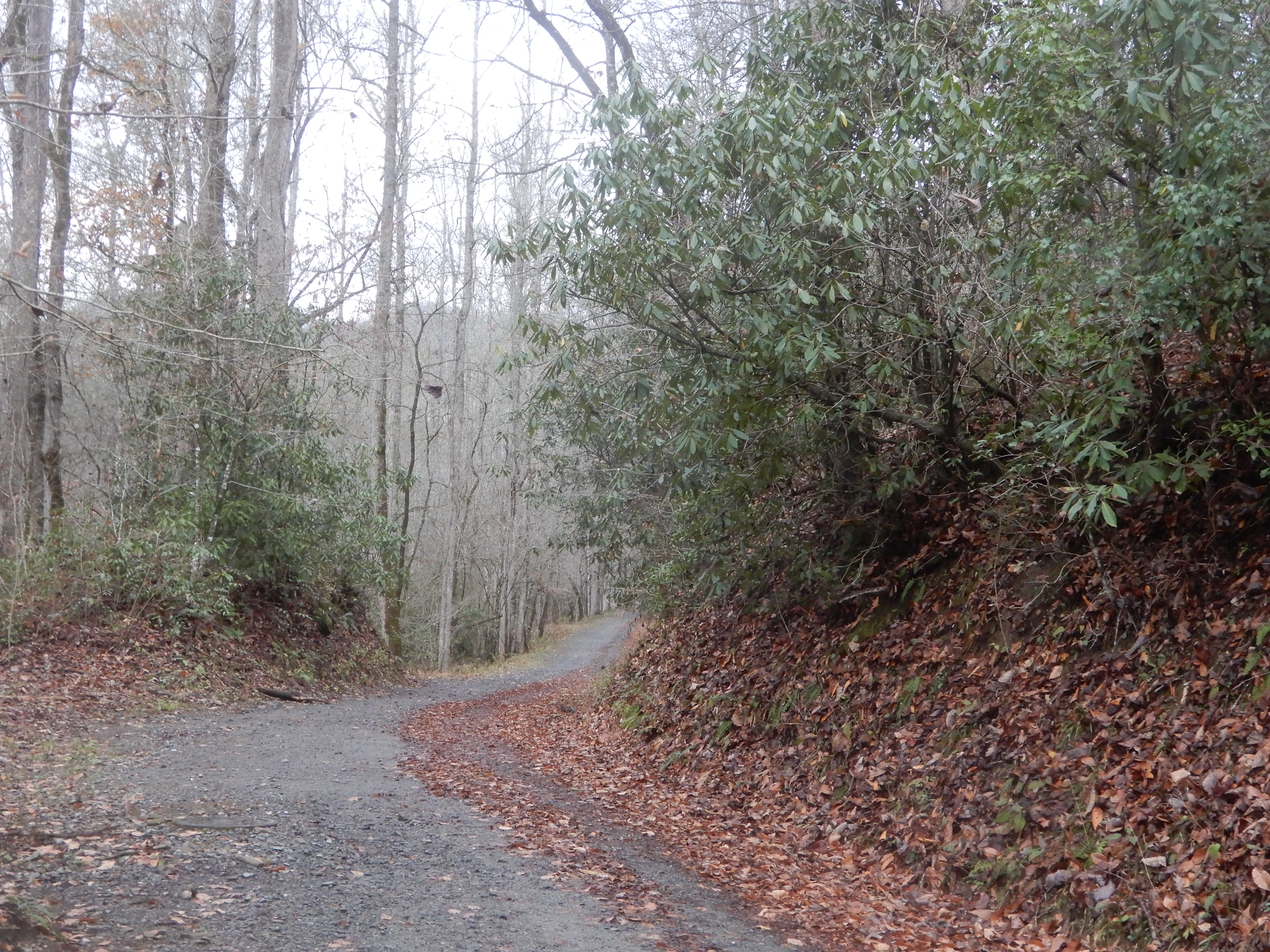
From there I took a trail leading out of the park that looped for miles through a national forest.
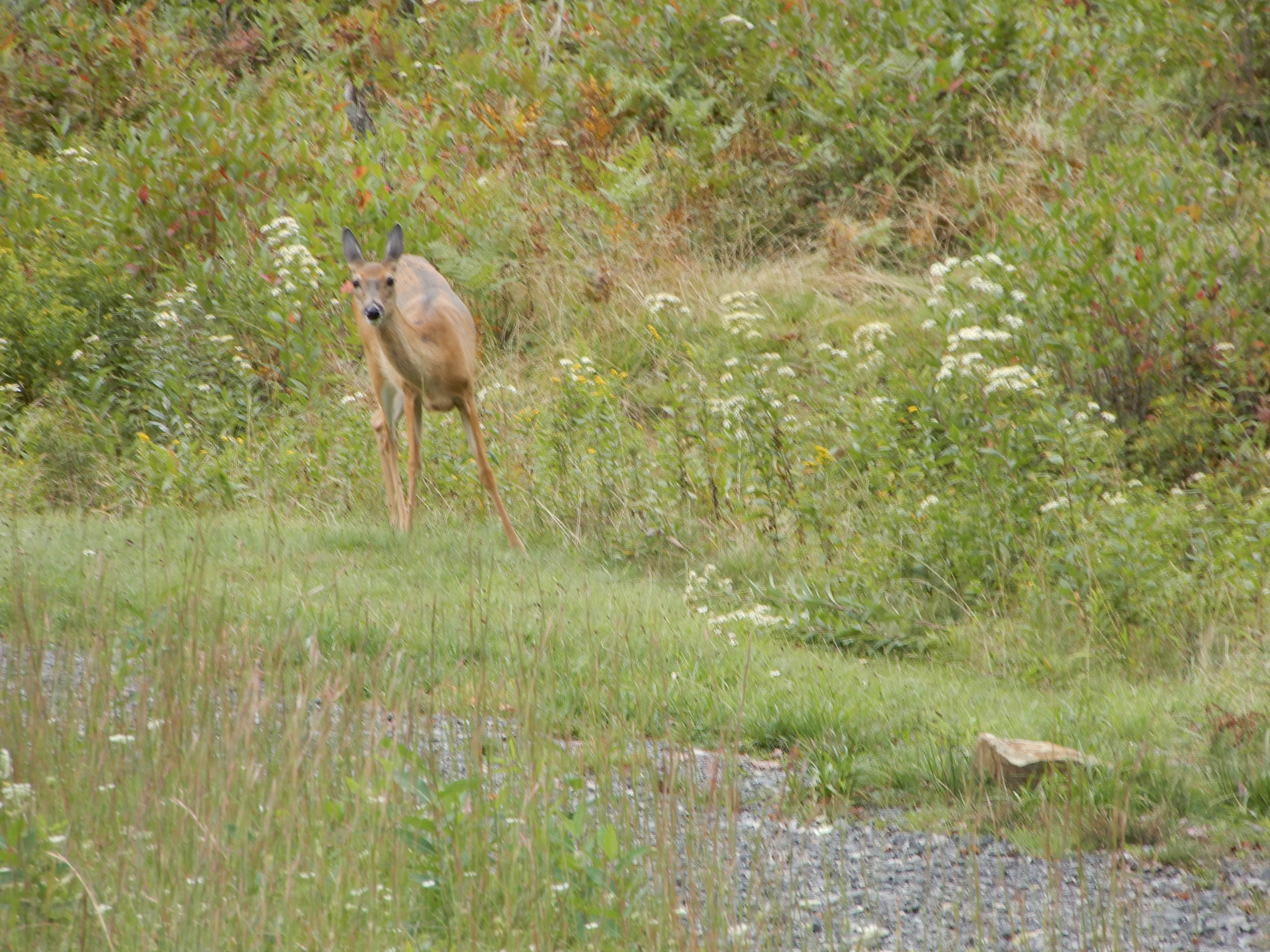
I came upon a deer but, despite the warning signs, no bear.
By the time I got back to our site it ended up being a 5 mile hike. I crashed the rest of the day.
American Locations 3: Skyline Drive-Blue Ridge Parkway-Smoky Mountains trip (fall, 2020) – Mathews Arm Campground, on the Skyline Drive National Road in Shenandoah National Park, Virginia
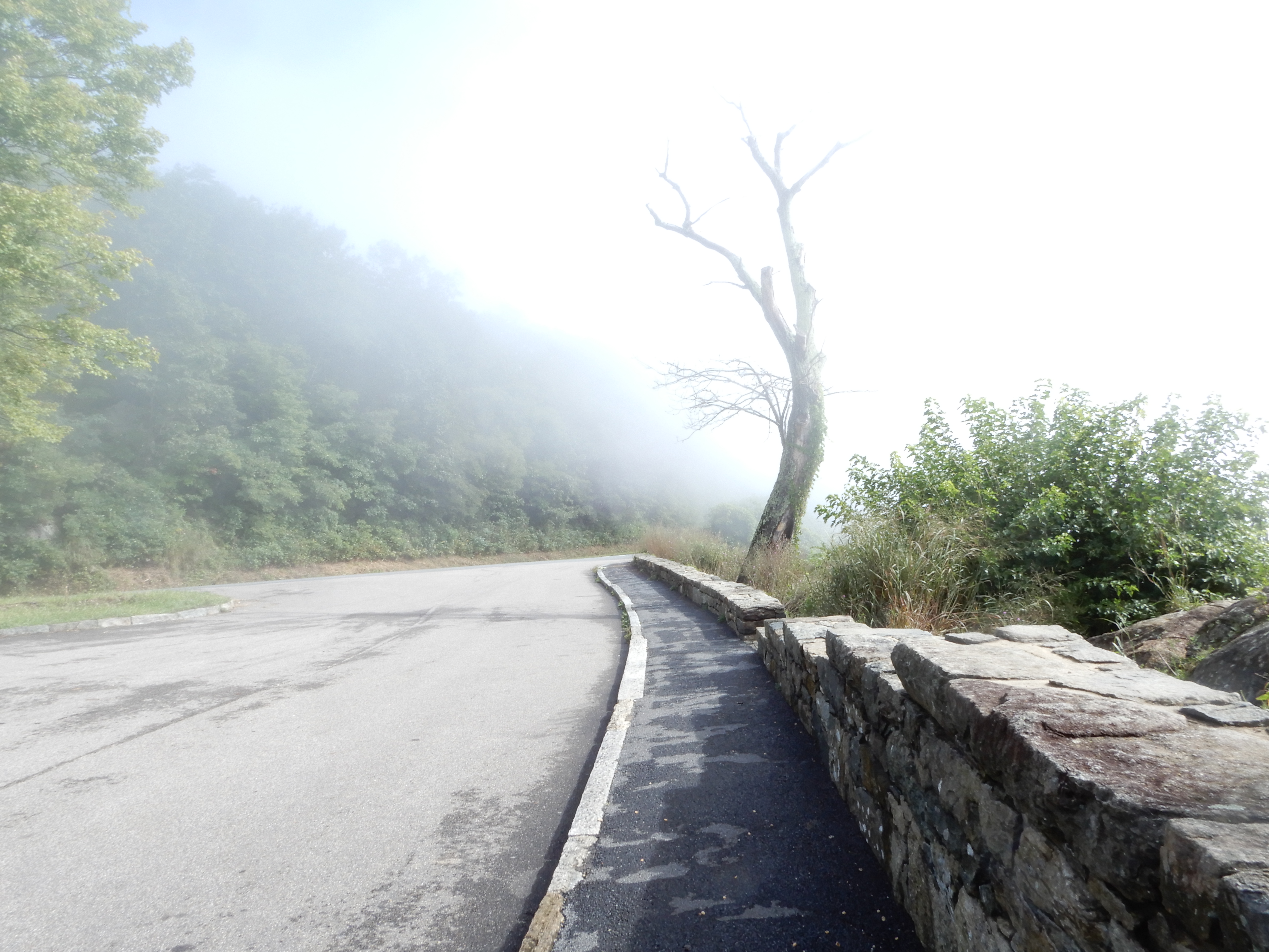
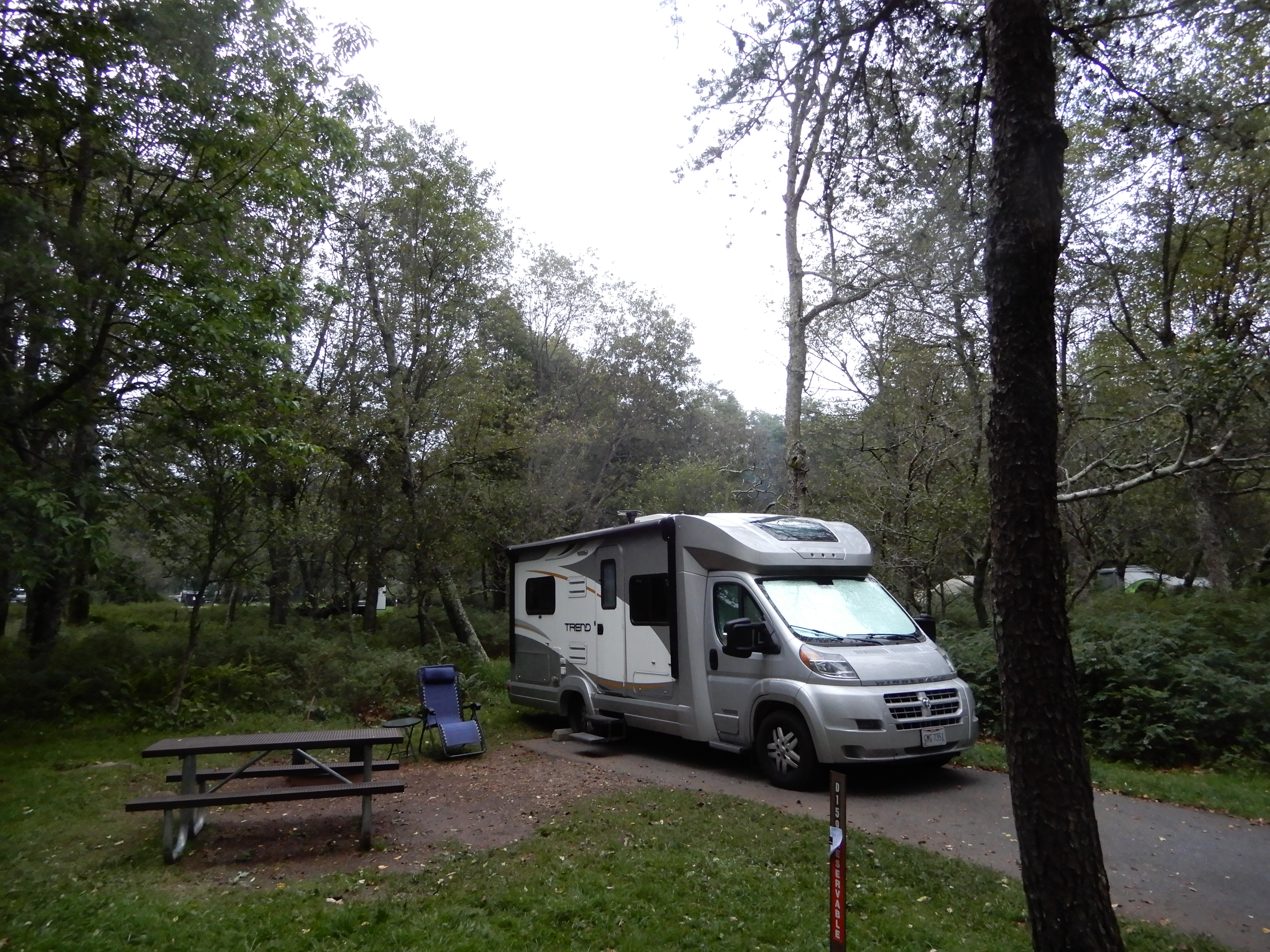
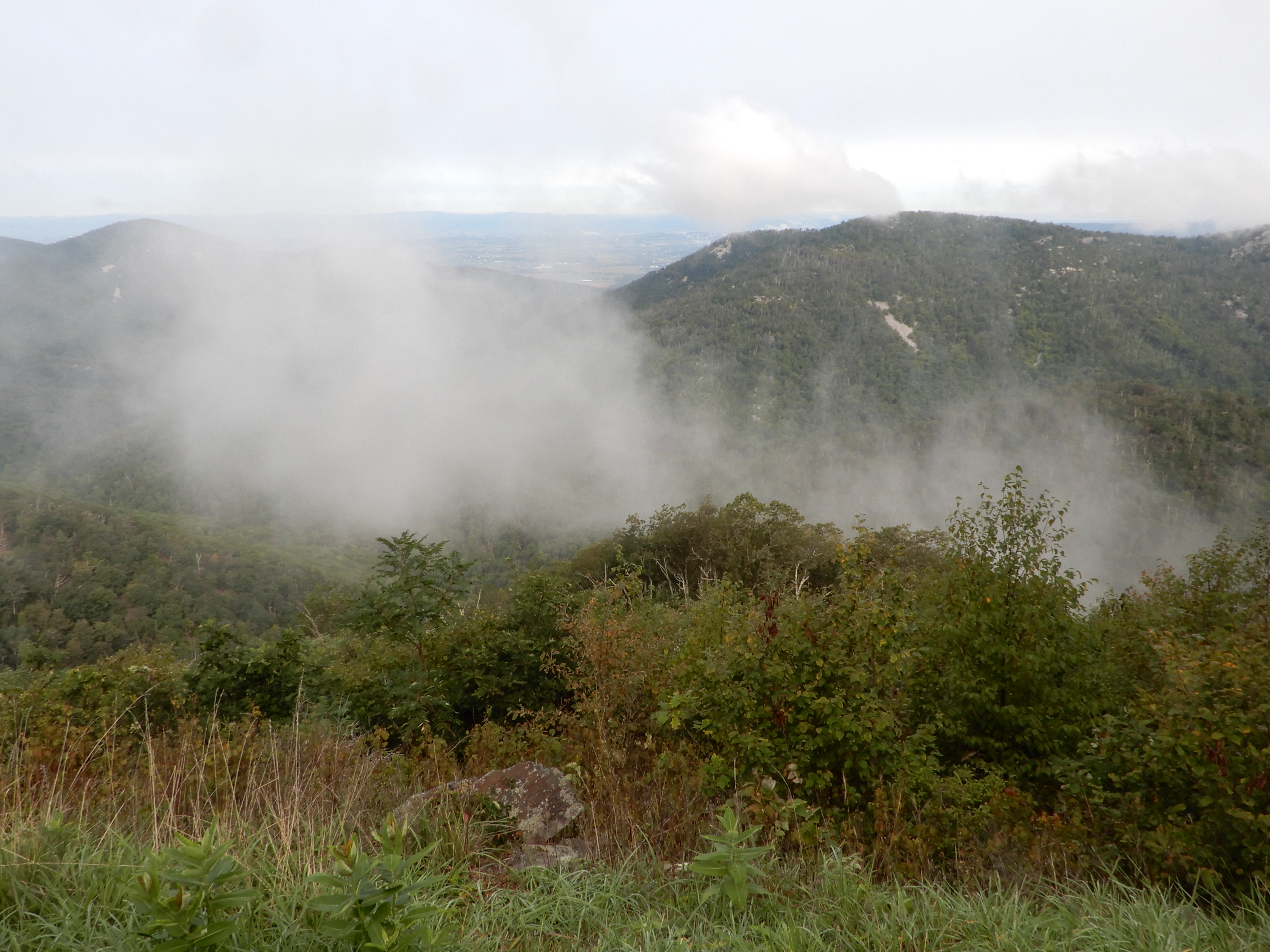
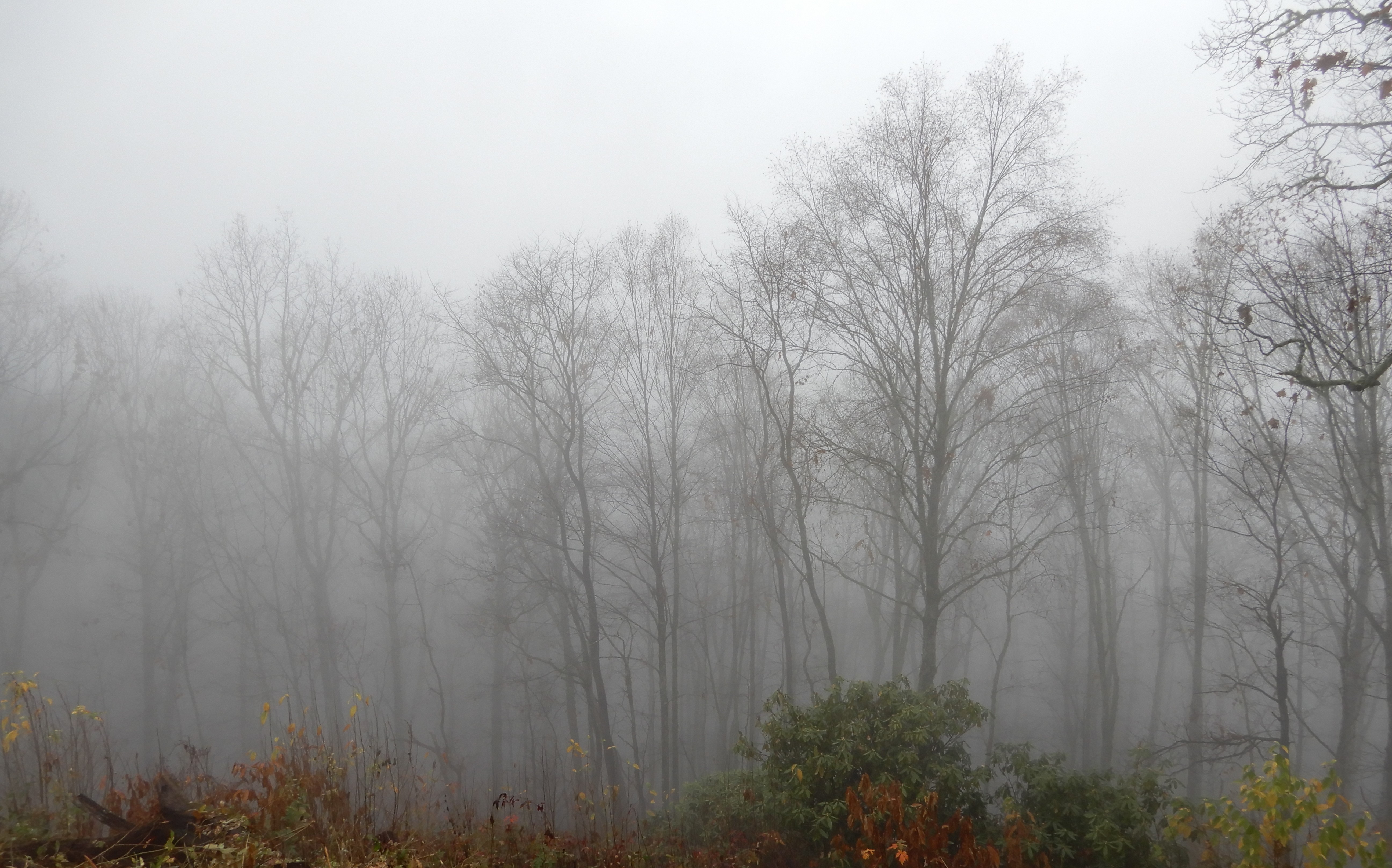
Early the next morning we continued east from Blackwater Falls SP. Another beautiful drive through the mountains, even though there was a dense fog. We followed Hwy 48 out of West Virginia into Virginia, most of the way following a scenic 2-lane winding mountain road that was great fun to drive. We wound our way up to the tallest peak yet, where we drove out of West Virginia into Virginia. We drove on to Front Royal, the northern entrance to Shenandoah NP. We drove up the Skyline Drive, but soon were fogged in. Could only see about 10 feet ahead. At MM22 we pulled off into Mathews Arm Campground and got a site and crashed for a while.
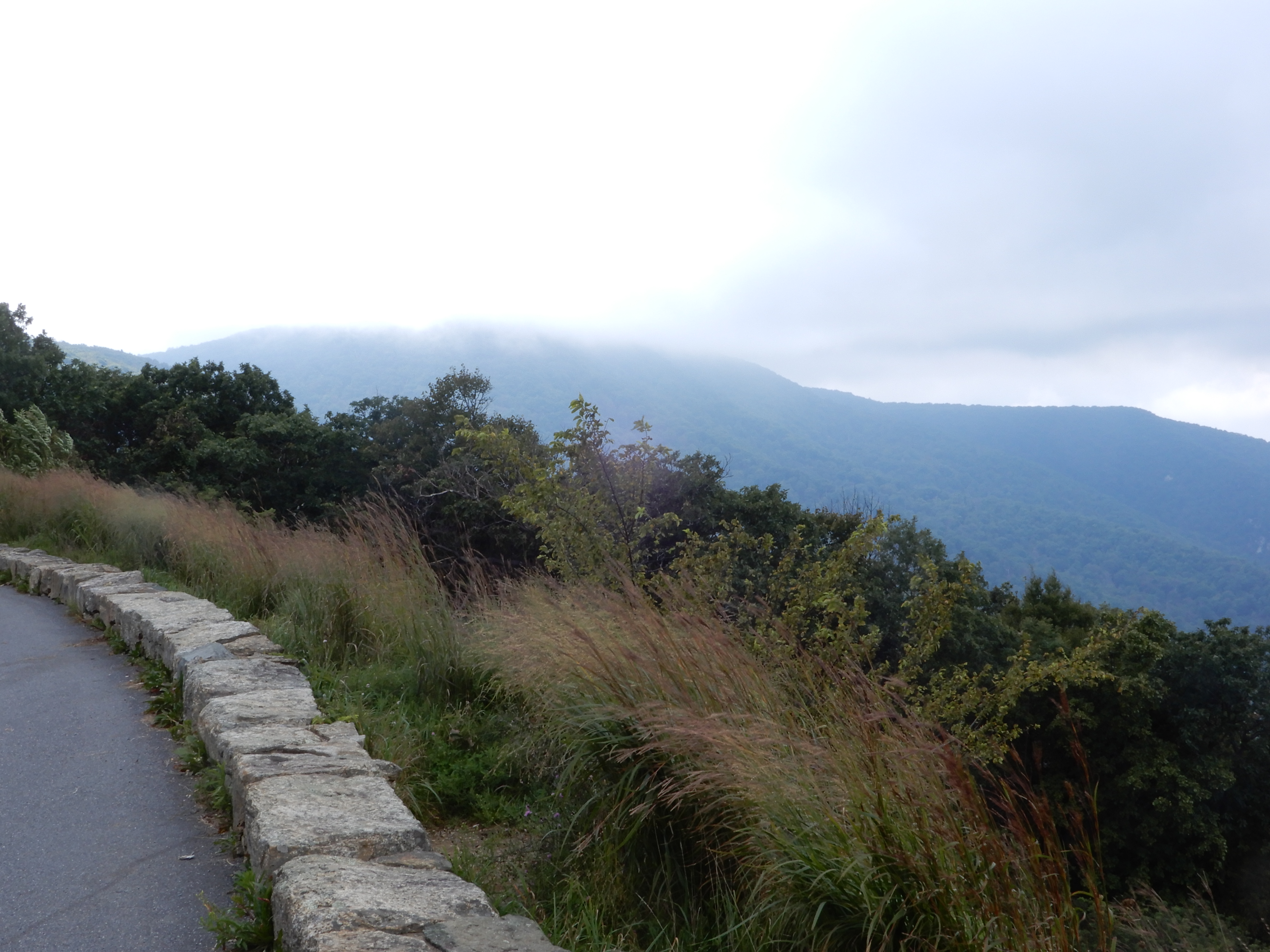
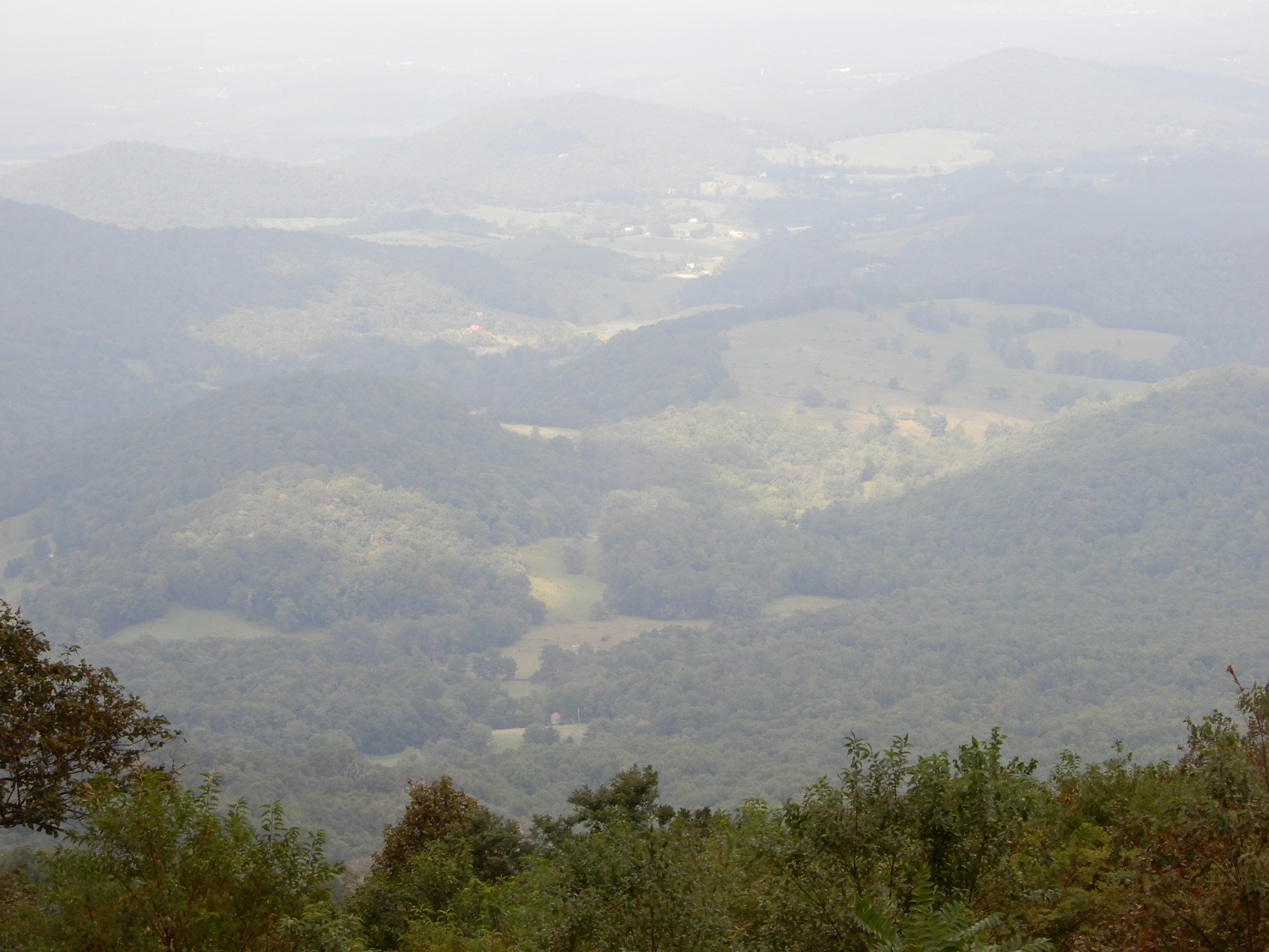
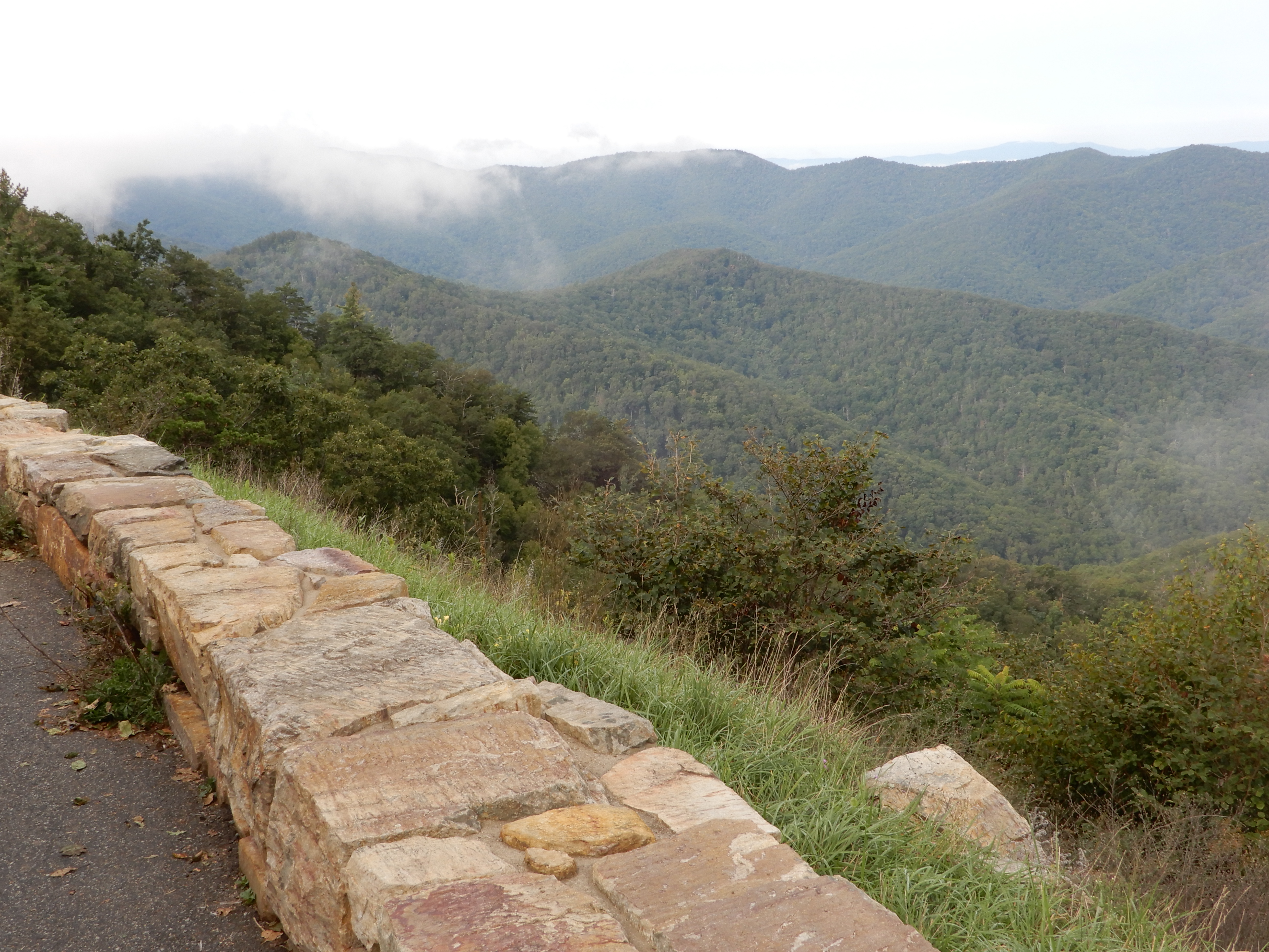
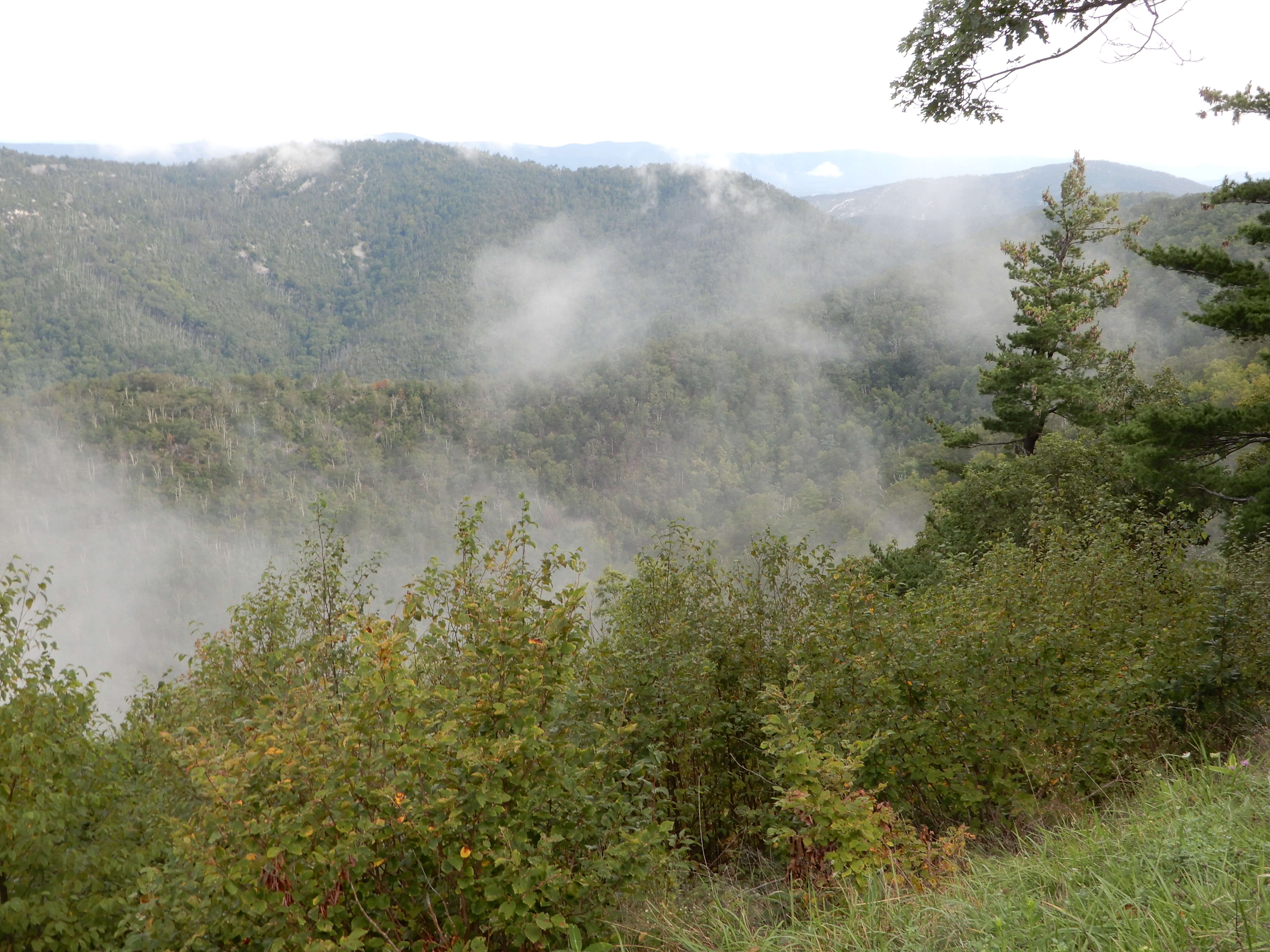
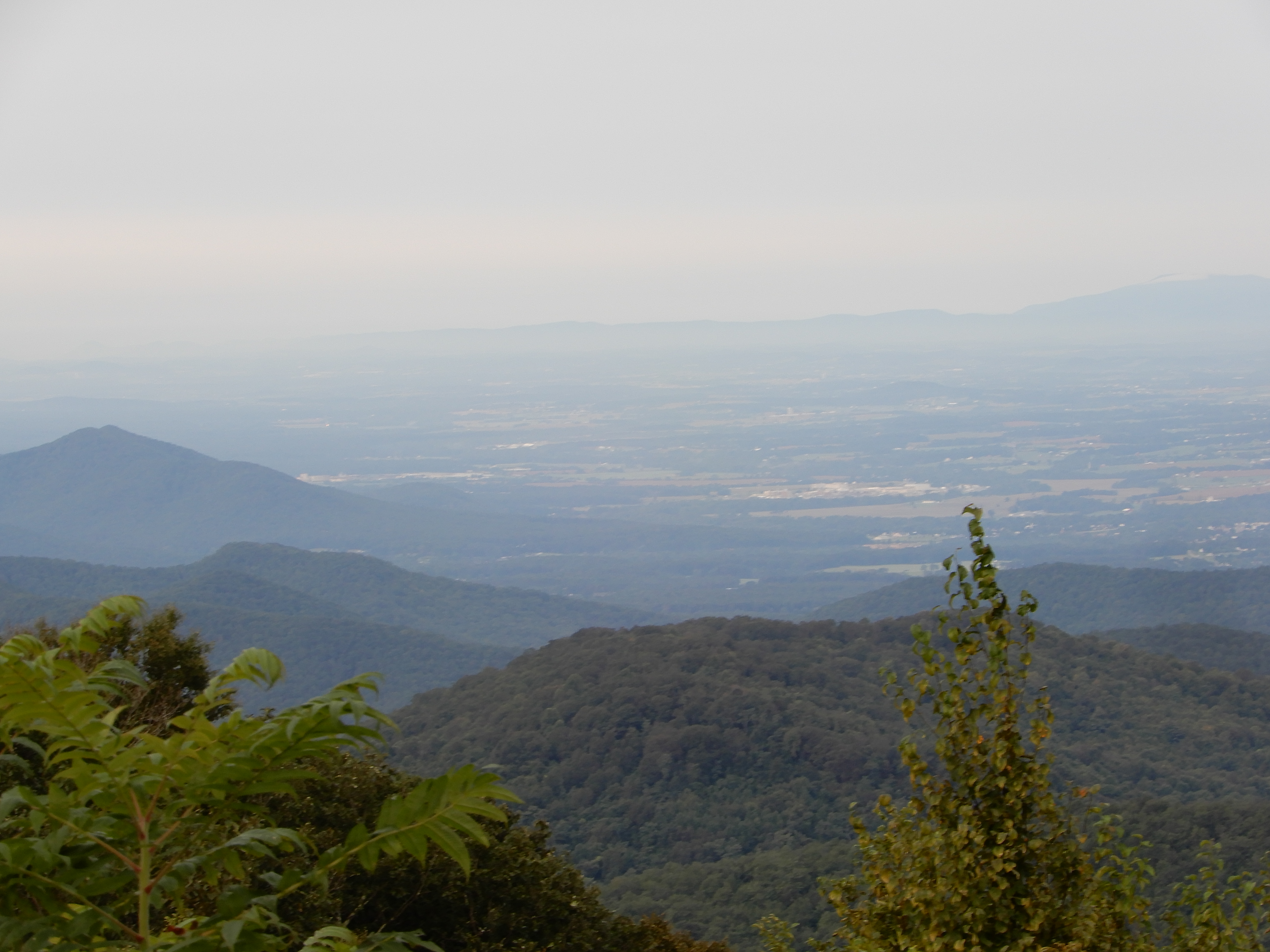
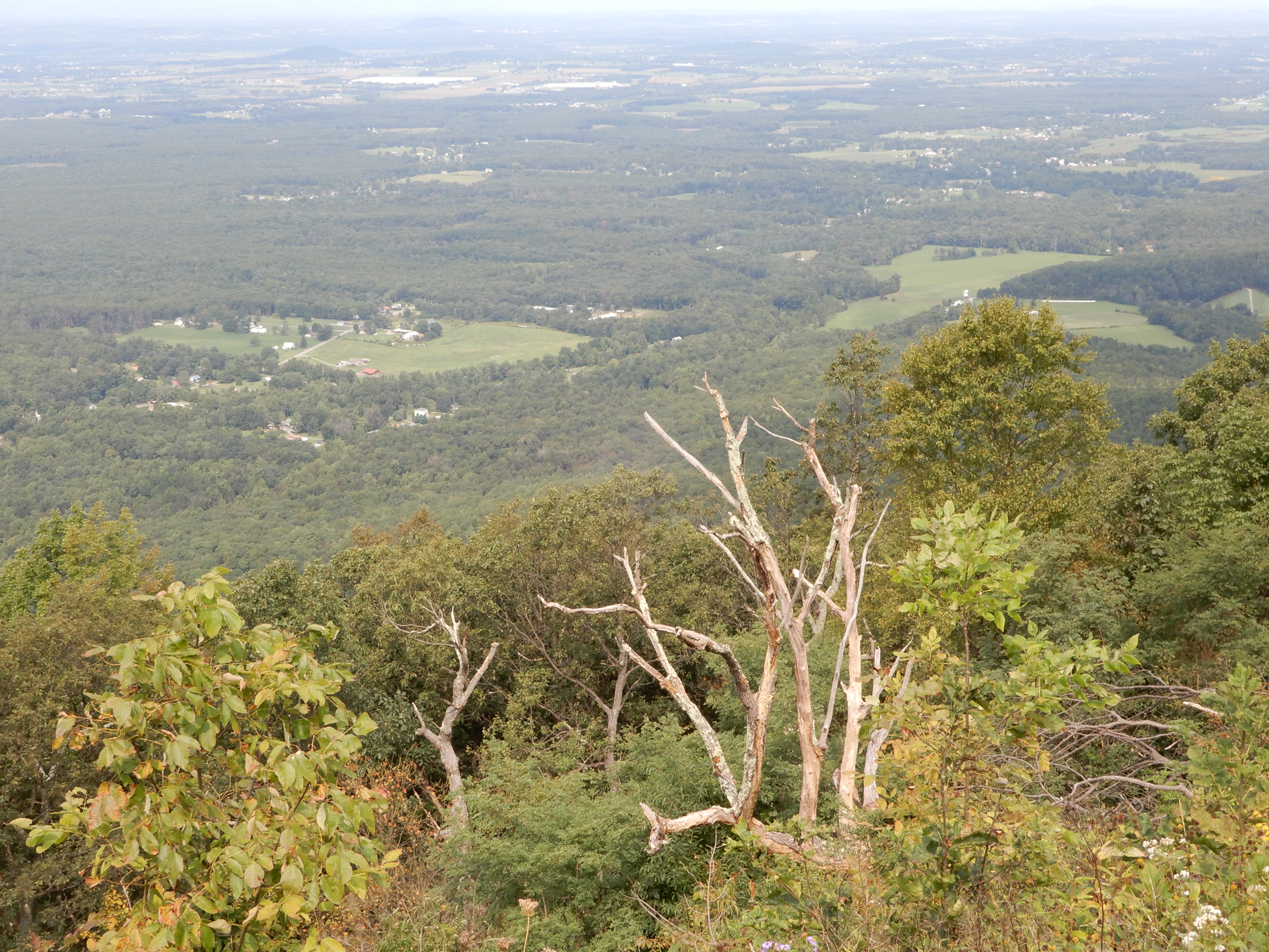
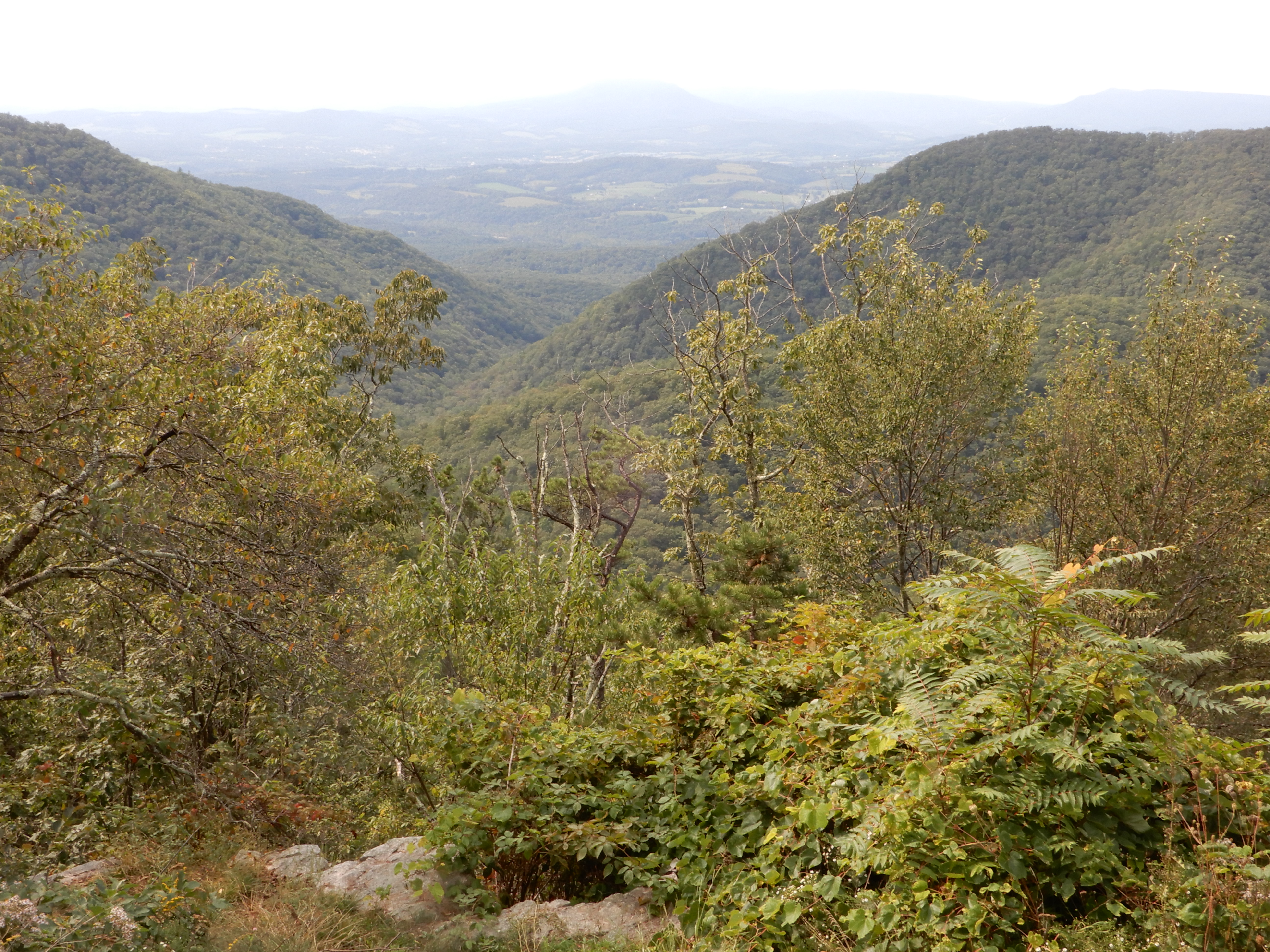
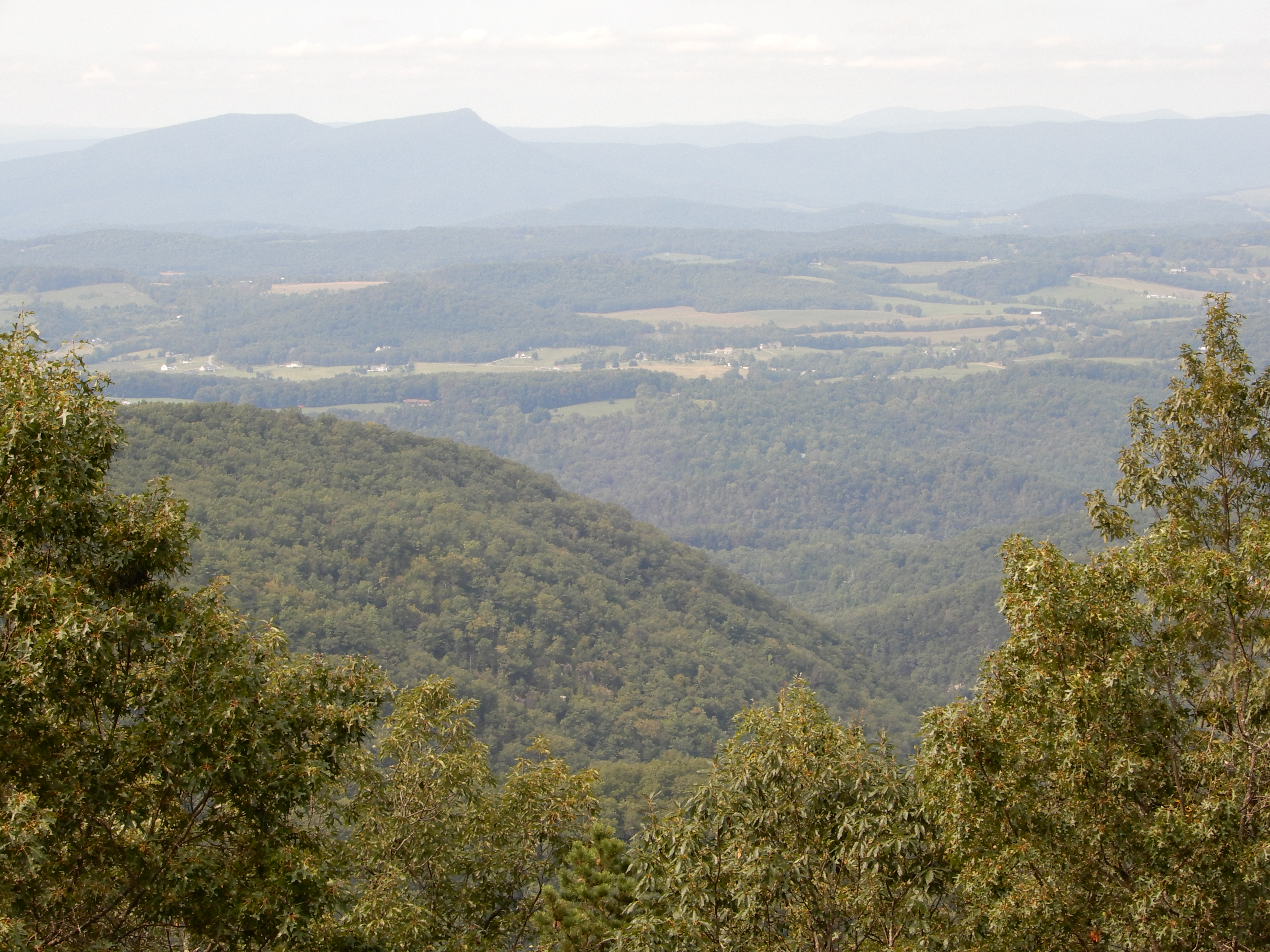
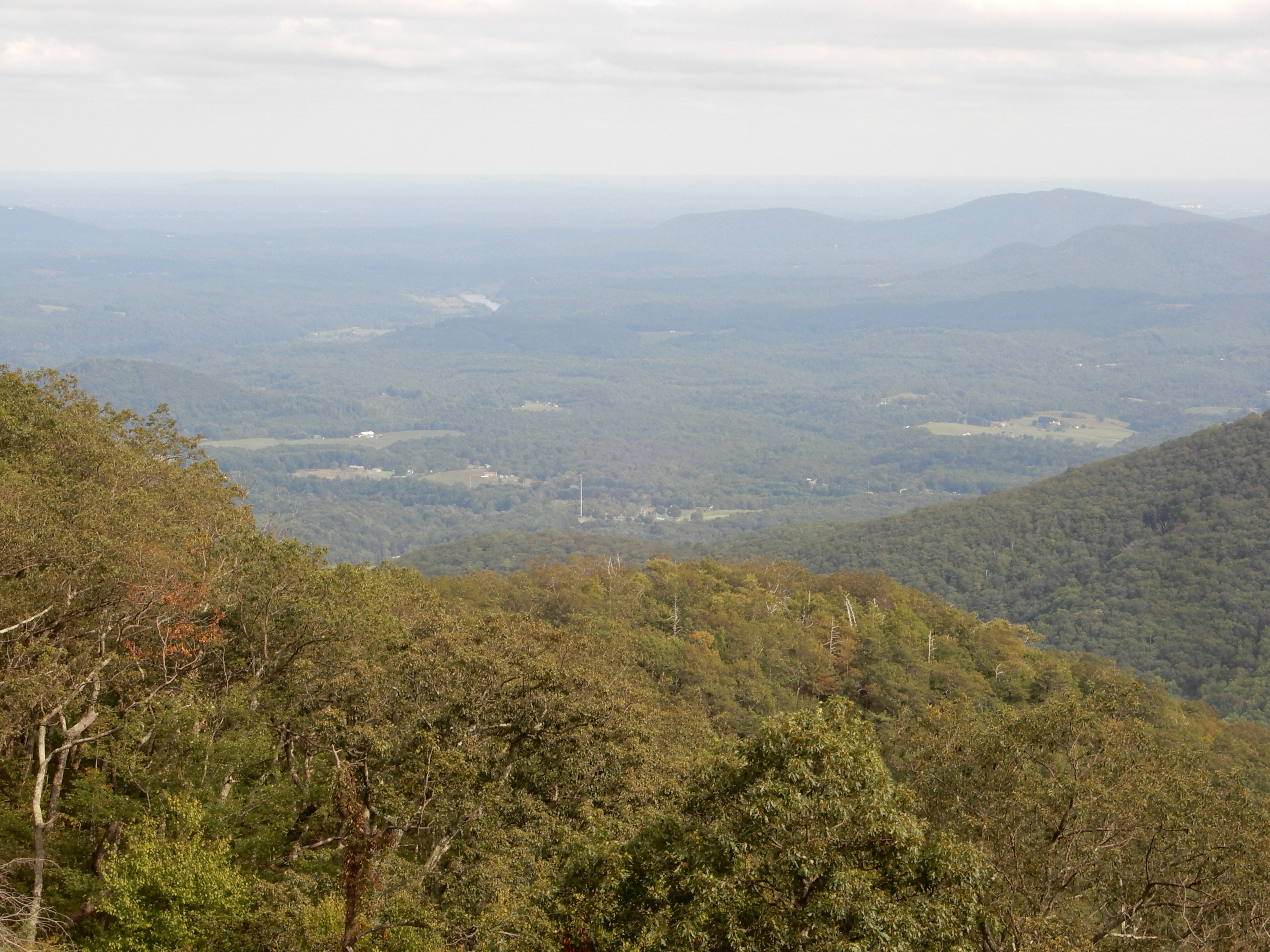
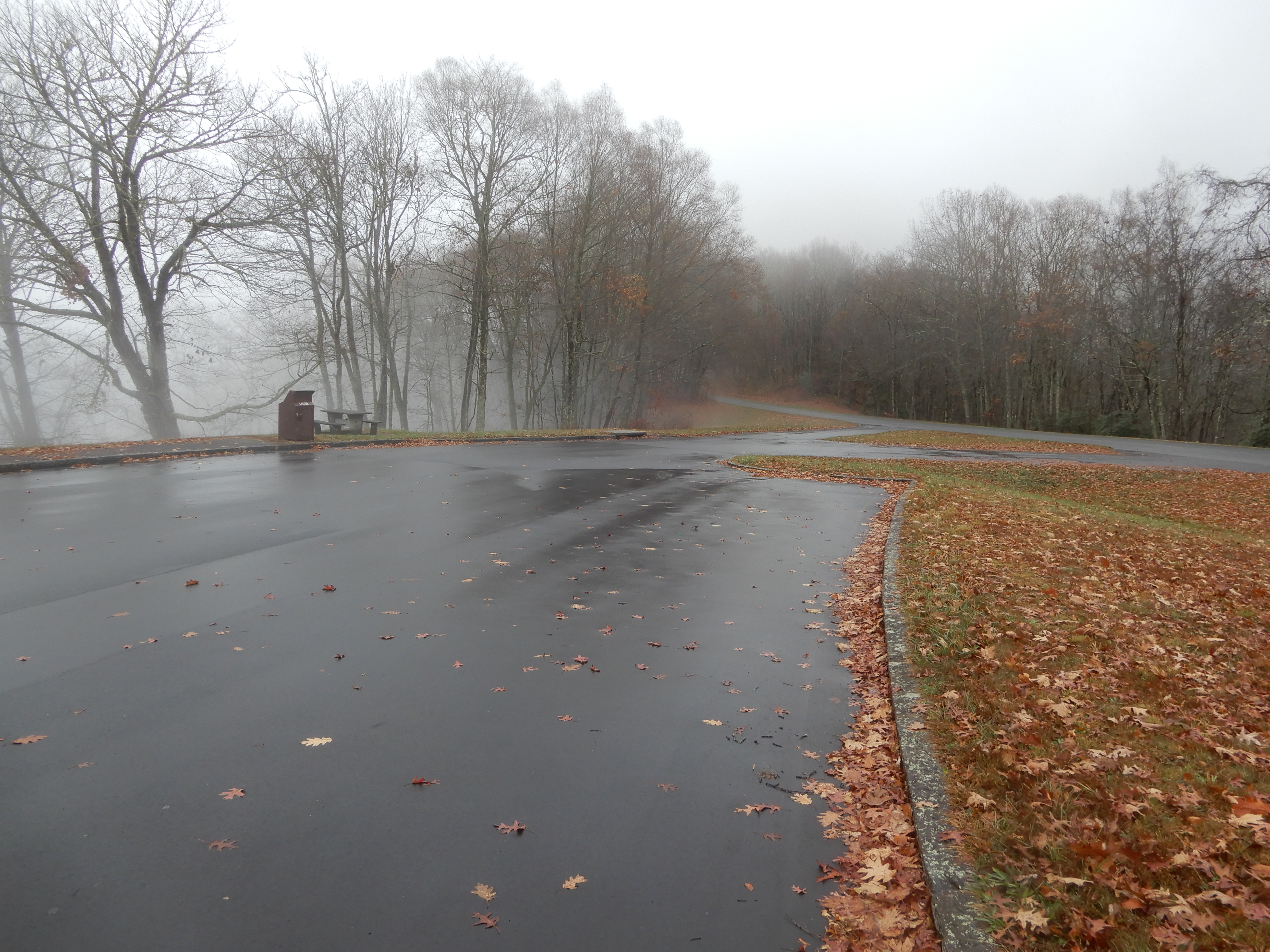
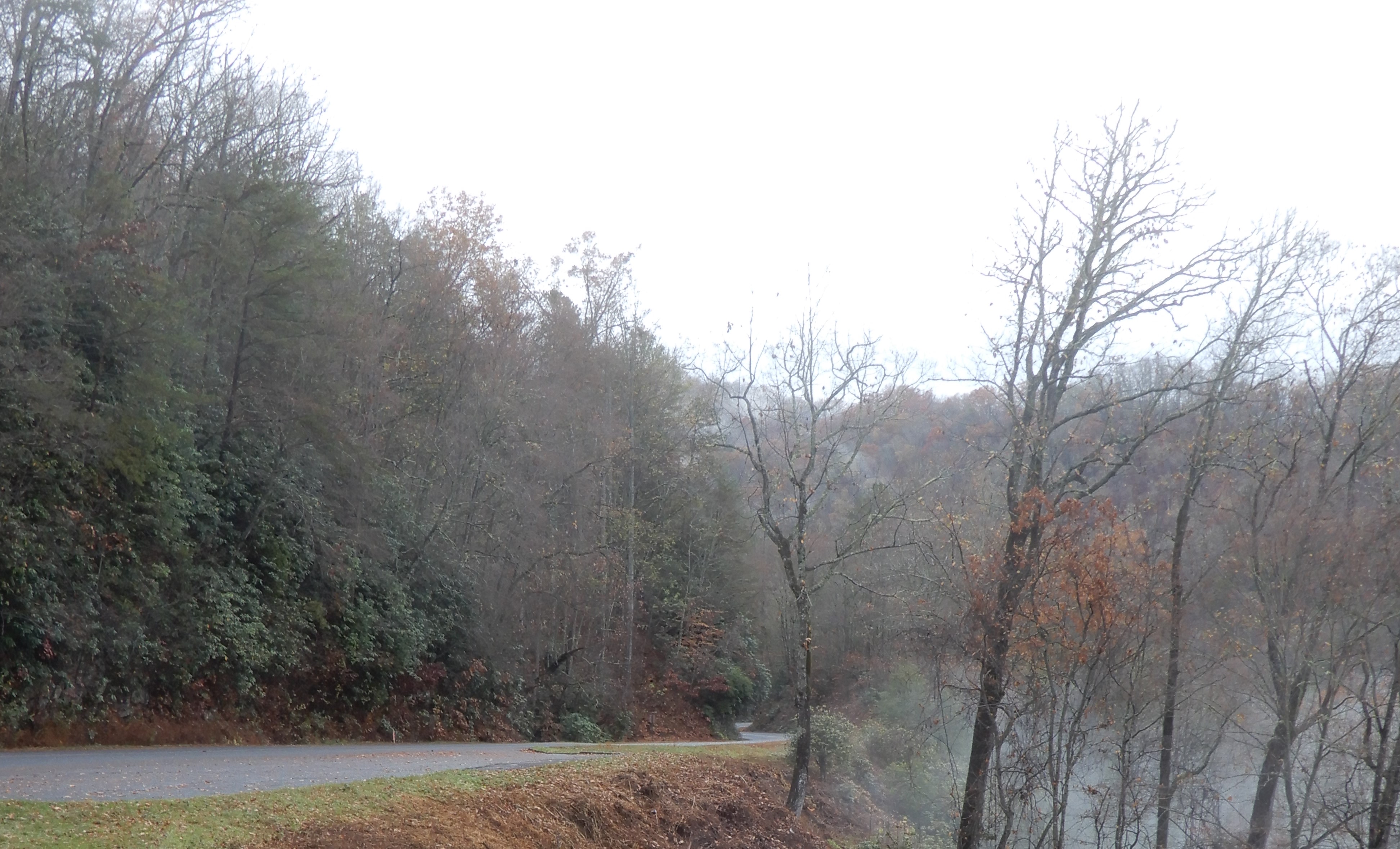
After lunch, we backtracked to the visitor center at MM5, stopping at vistas along the way. With the fog, visibility wasn’t the greatest.
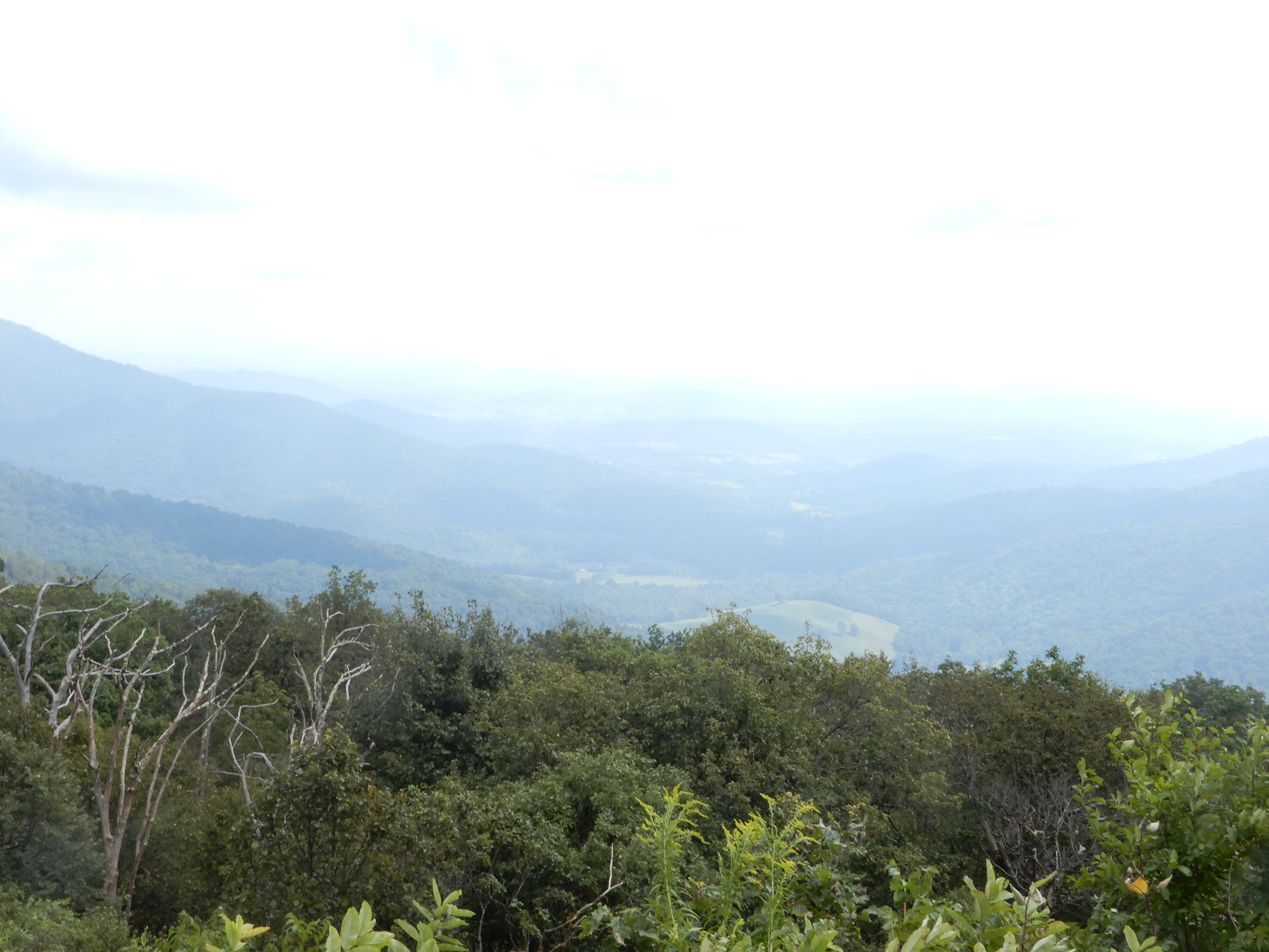
The visitor center was closed (due to Covid), a common theme of this trip, so we roamed around outside.
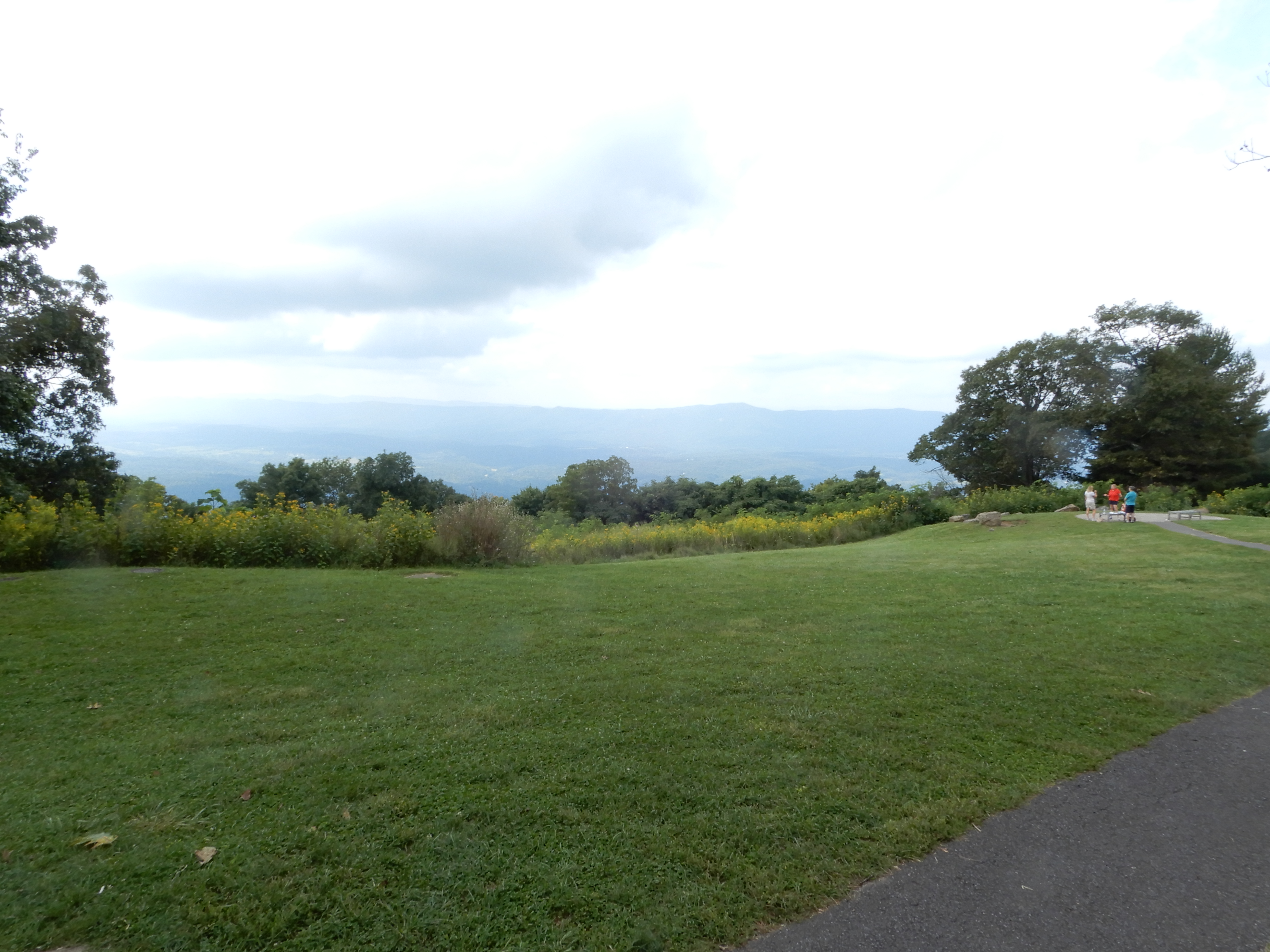
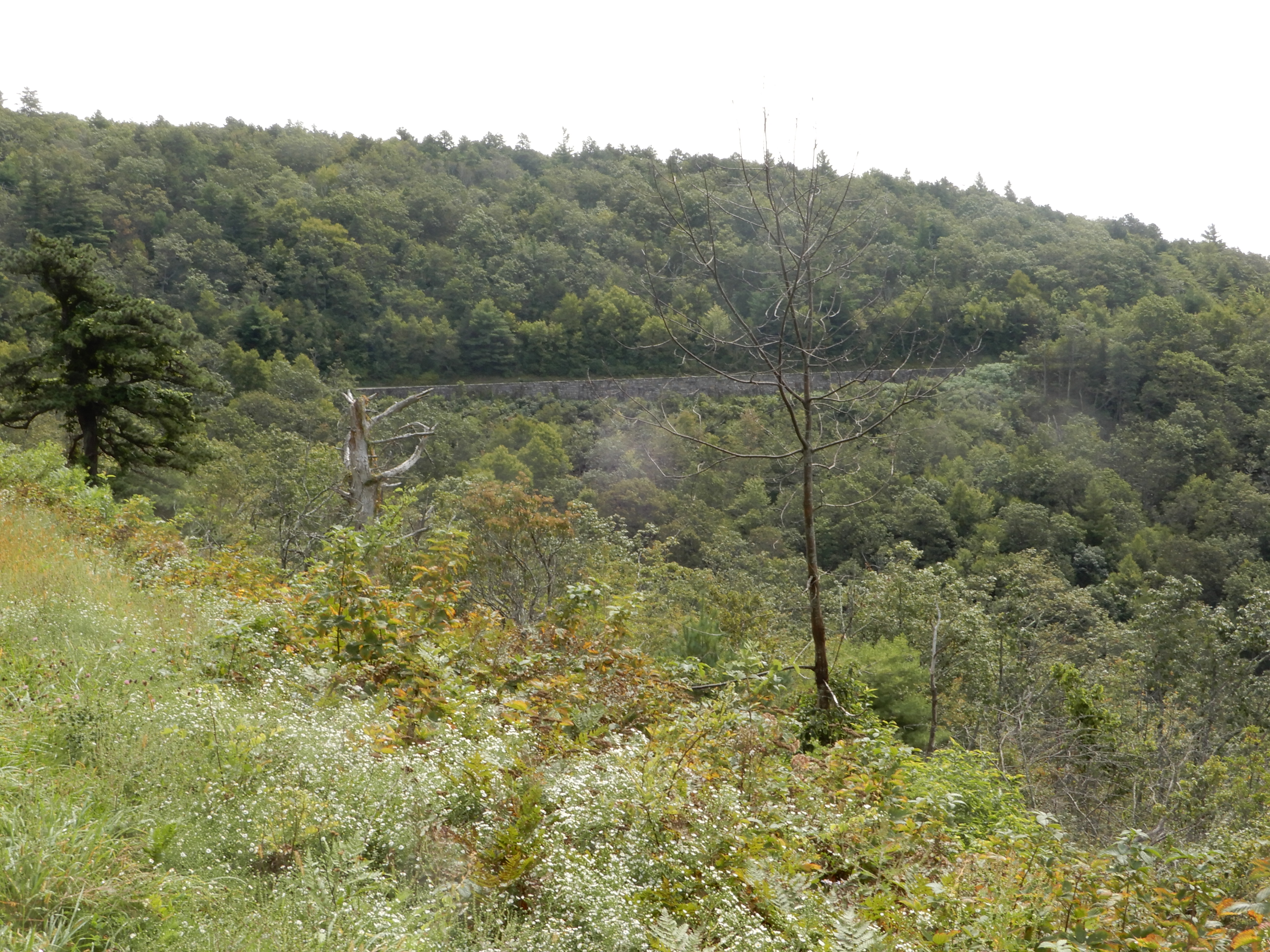
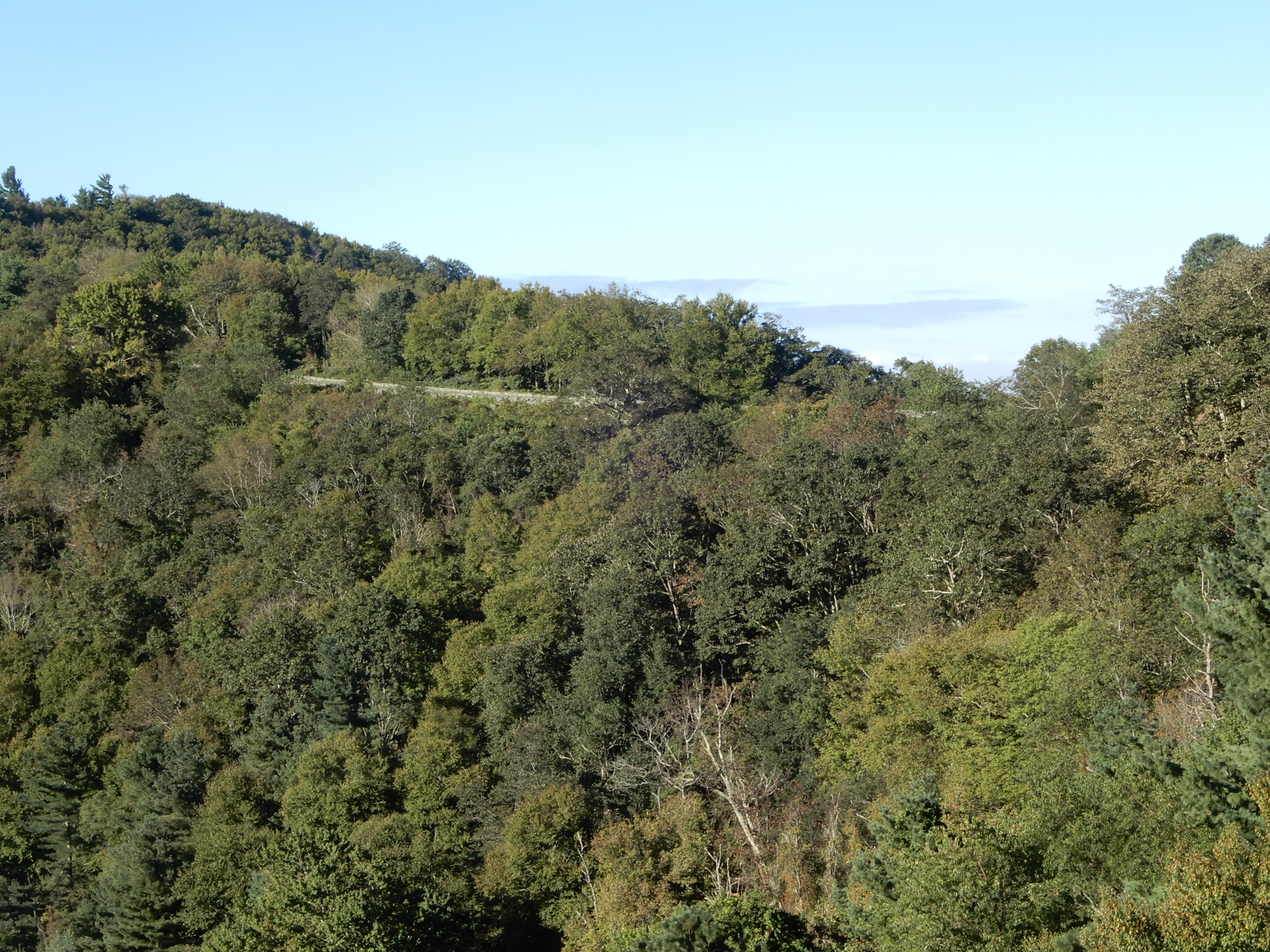
In the photo below, you can see a stretch of Skyline Drive toward the top left corner.
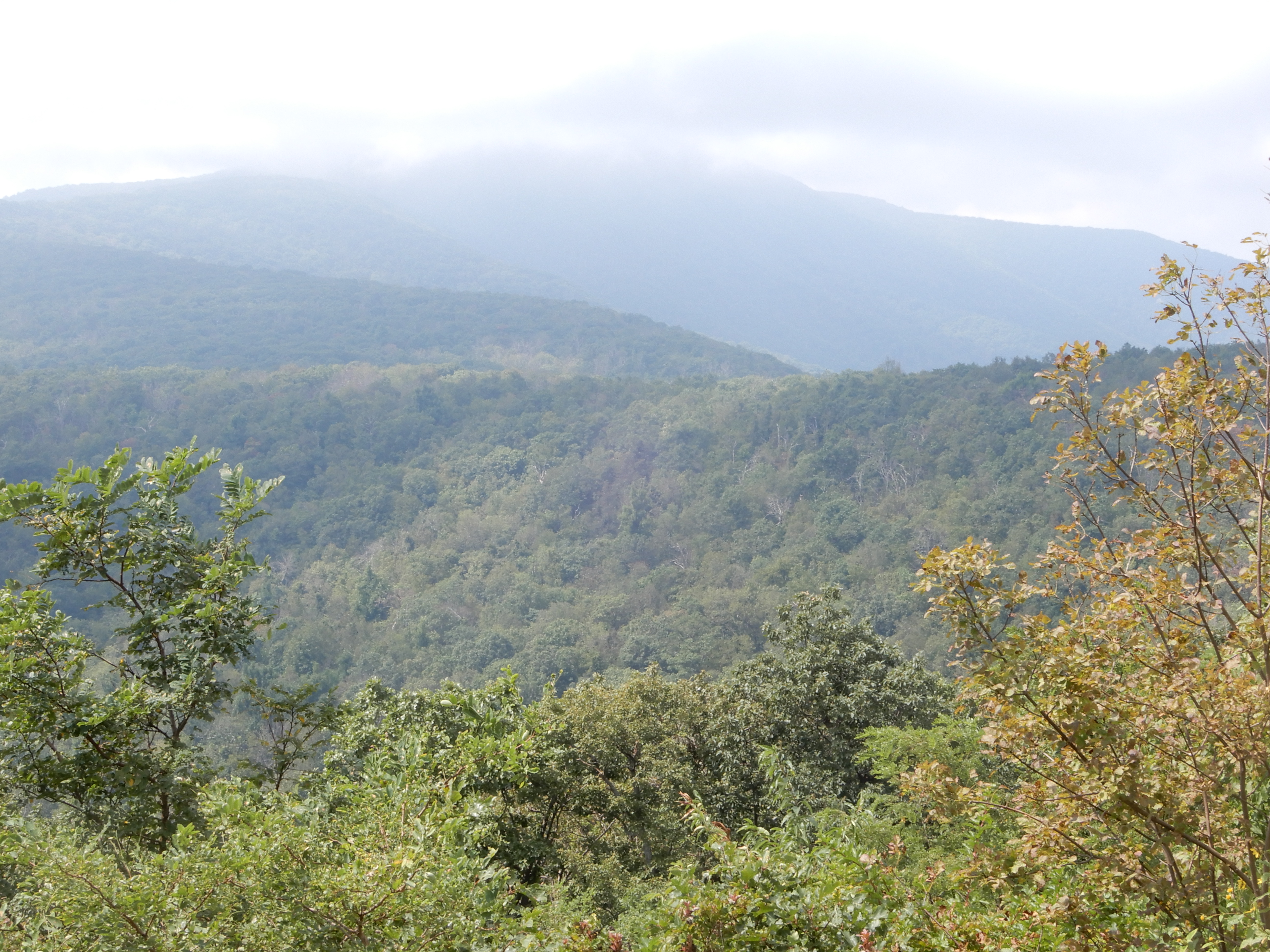
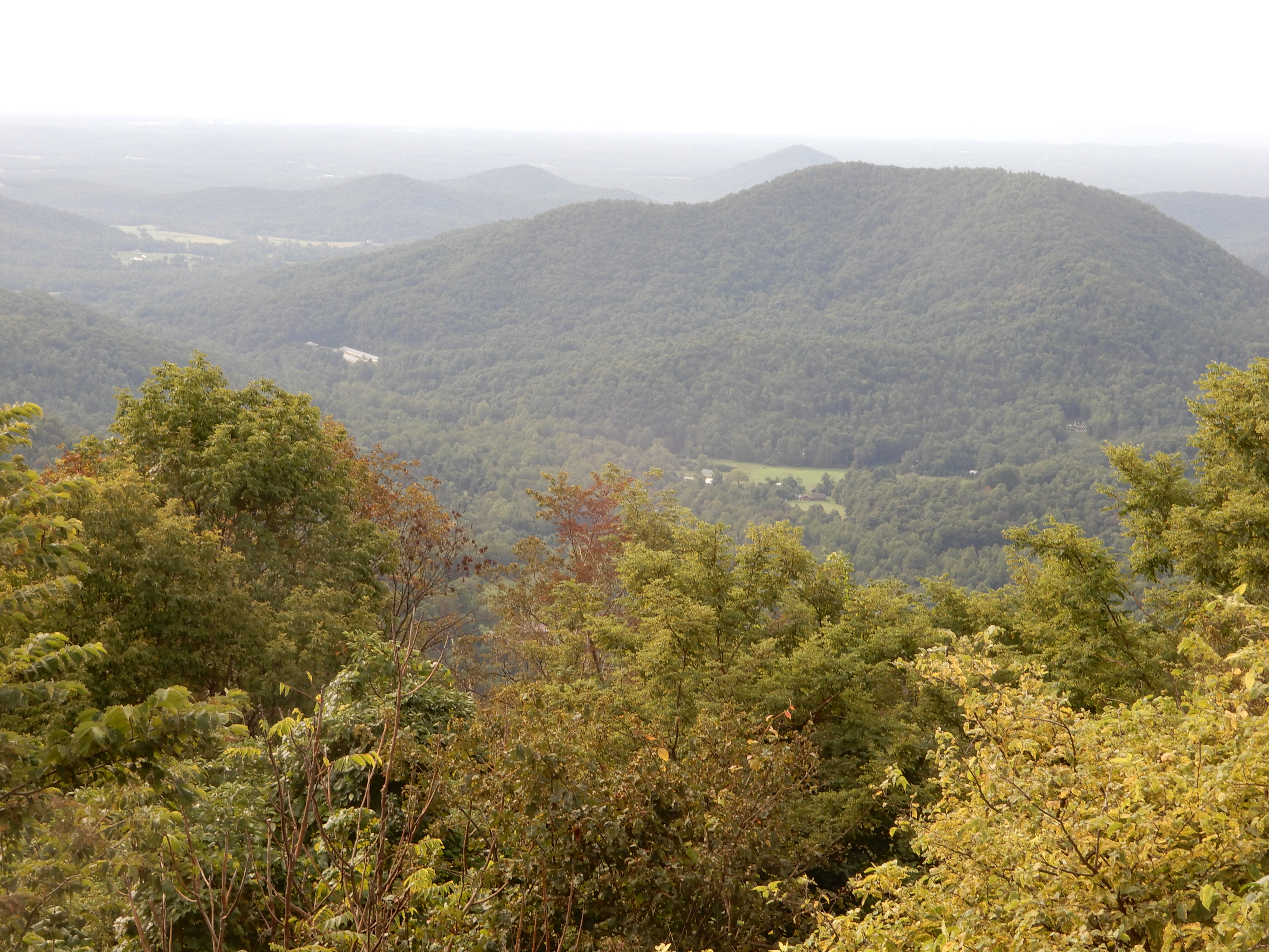
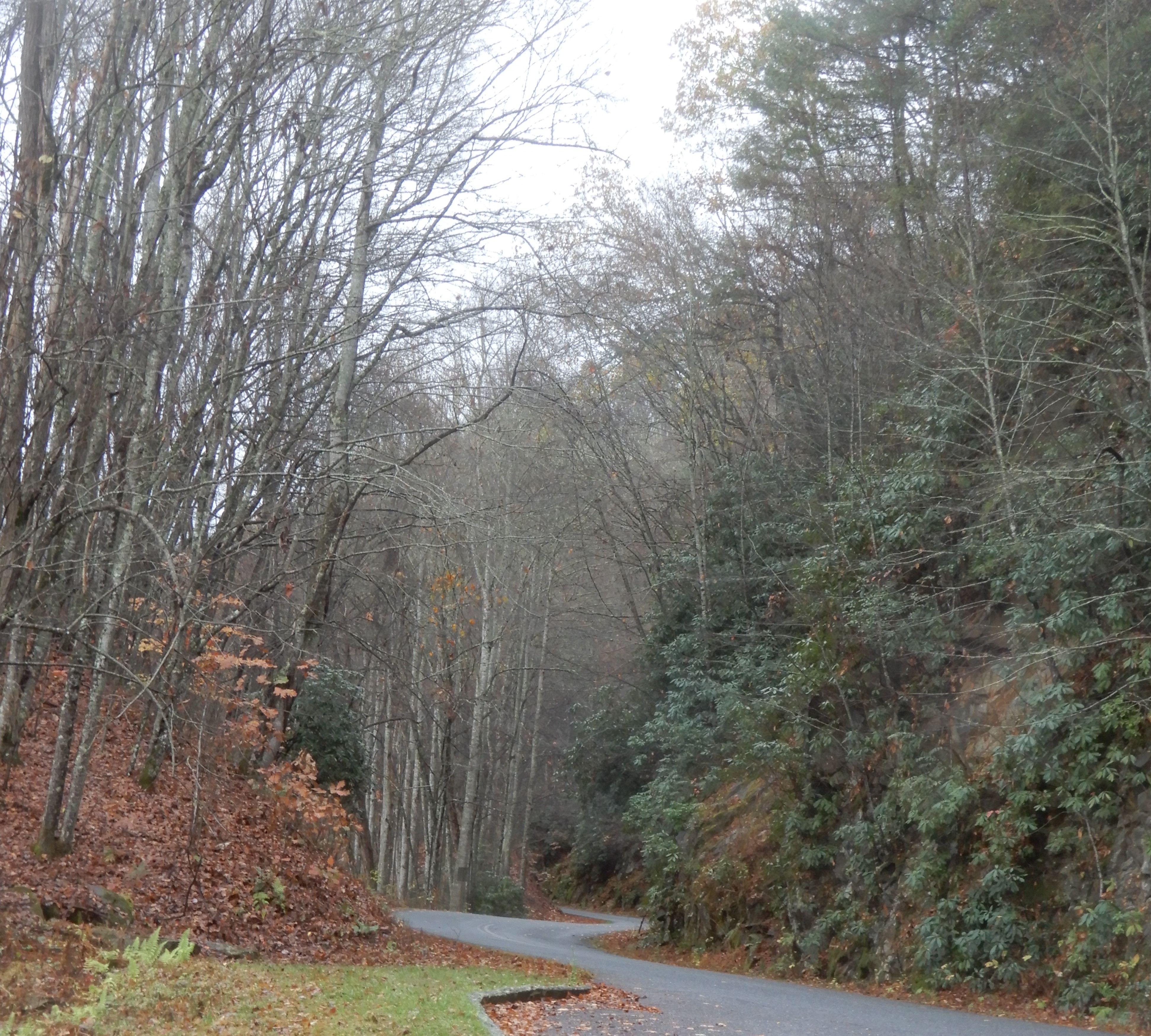
Driving back to the Mathews Arm Campground, we stopped at more vistas along the way. But it was still foggy.

We spent the rest of the day fogged-in at our site. That night our house battery went bad.
American Locations 4: Skyline Drive, Blue Ridge Parkway, Smoky Mountains National Park trip – Matthews Campground 2
First order of business was to get a new house battery. It was another foggy rainy day, so this delay didn’t bother us much. We located a Camping World in Manassas, Virginia, about 60 miles east. We first drove north off Skyline Drive, then on to Manassas. Camping World treated us very well. After we explained we were on the road far from home, their service department moved us to the front of the line and replaced the battery right away. We were there maybe an hour and a half. Excellent service. So we headed back west to Front Royal and got back onto Skyline Drive at the northern terminus.
We stopped for lunch at the Shenandoah Valley Overlook. Still foggy, but it had quit raining.
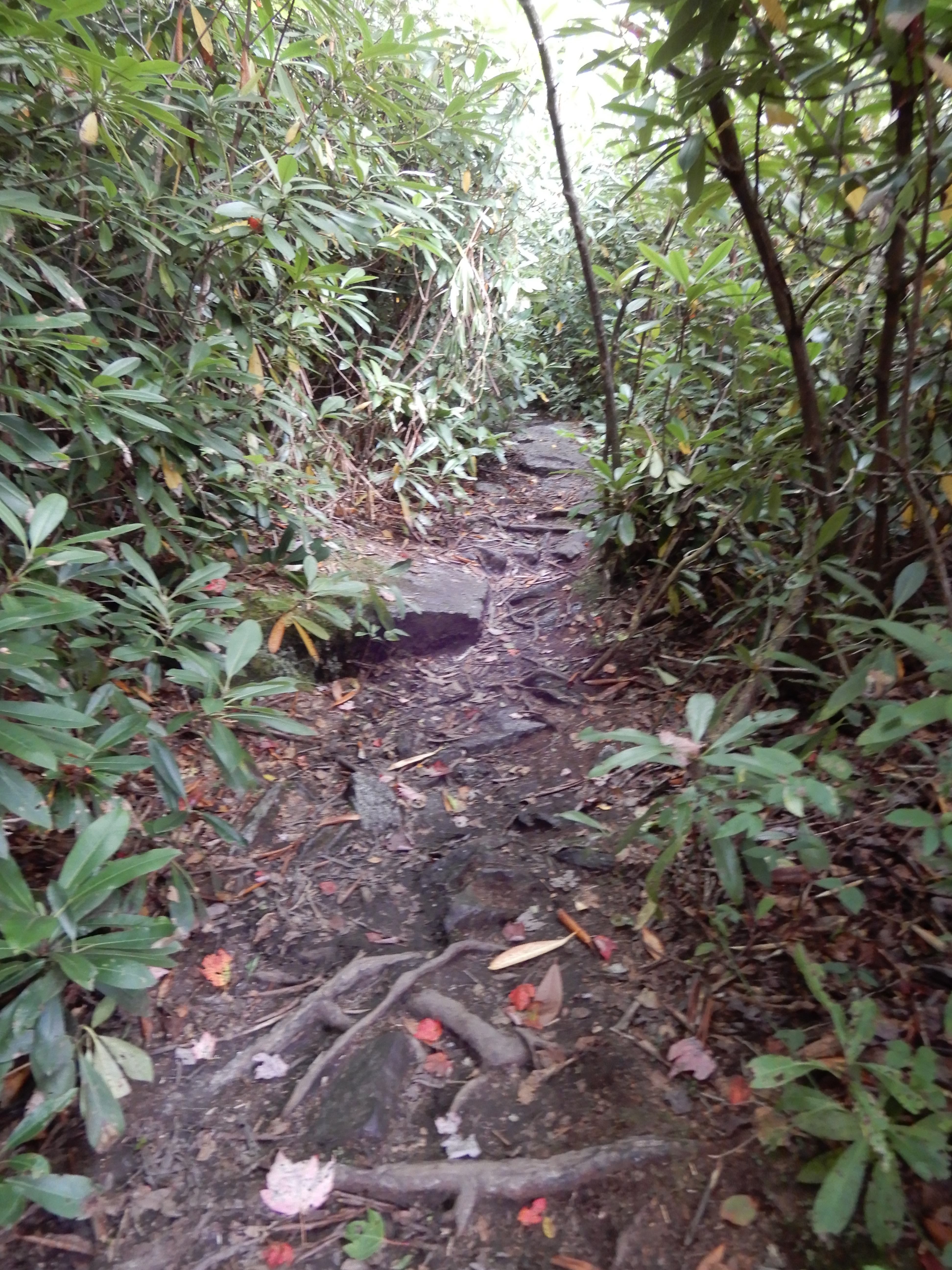
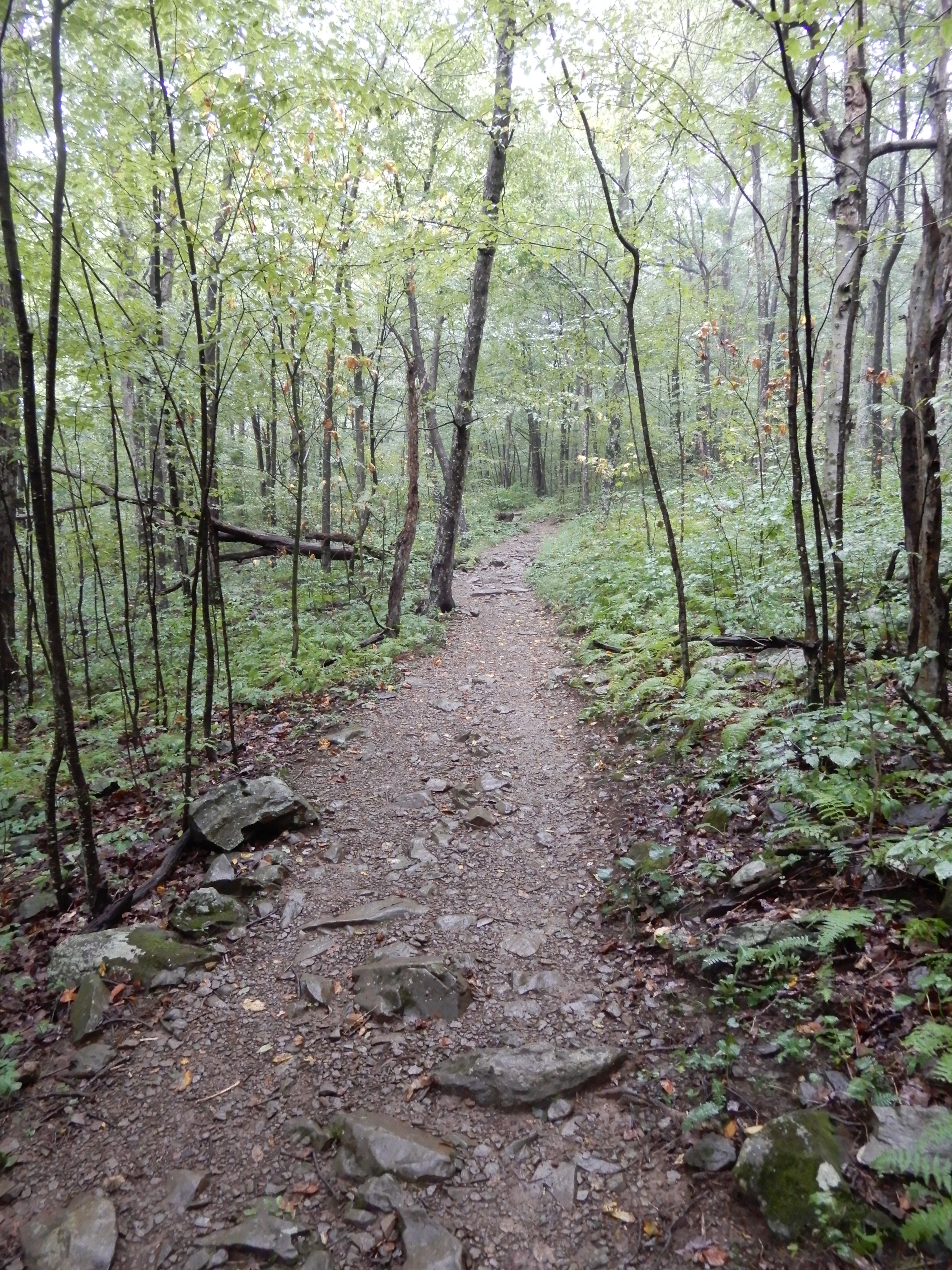
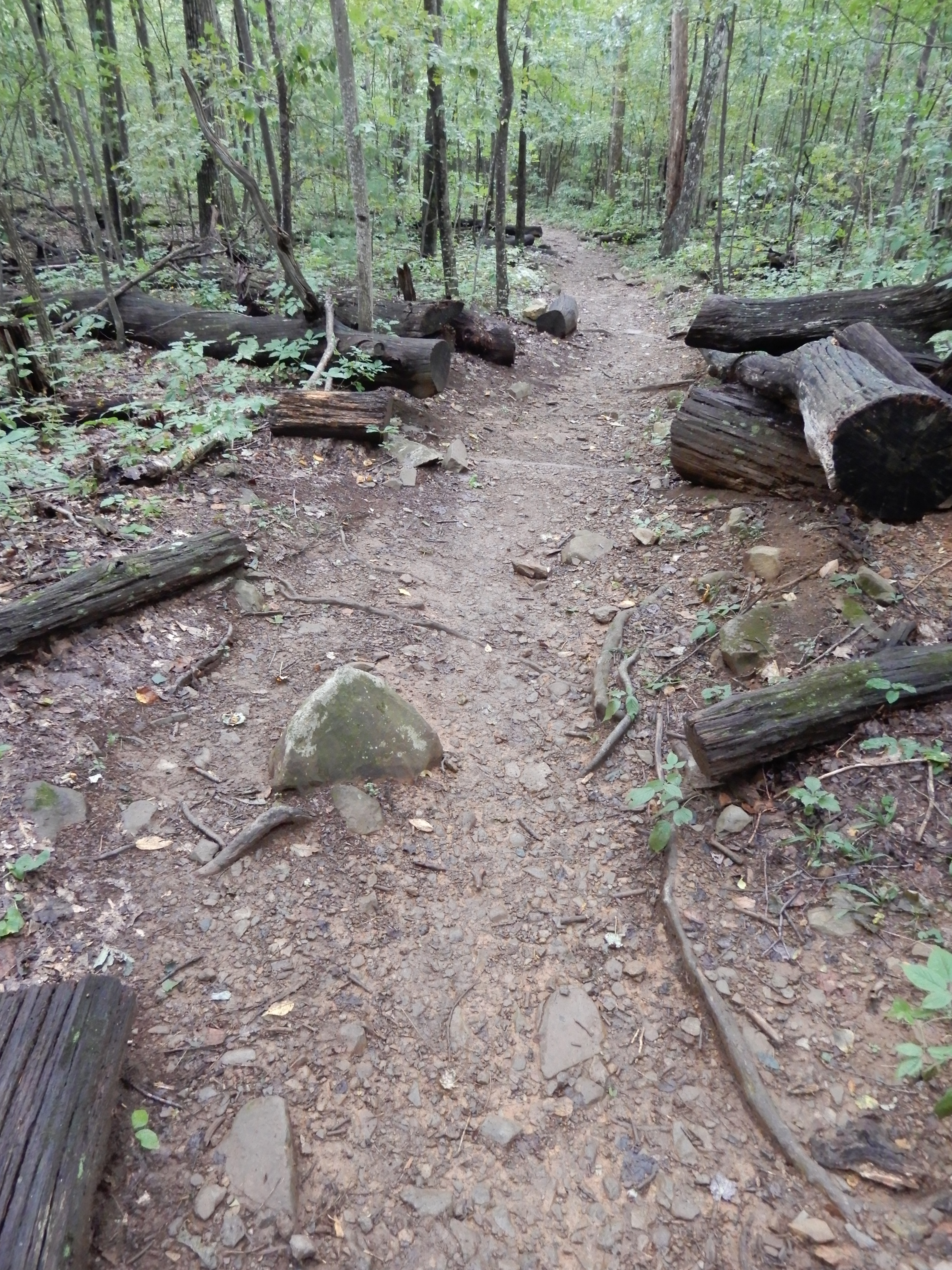
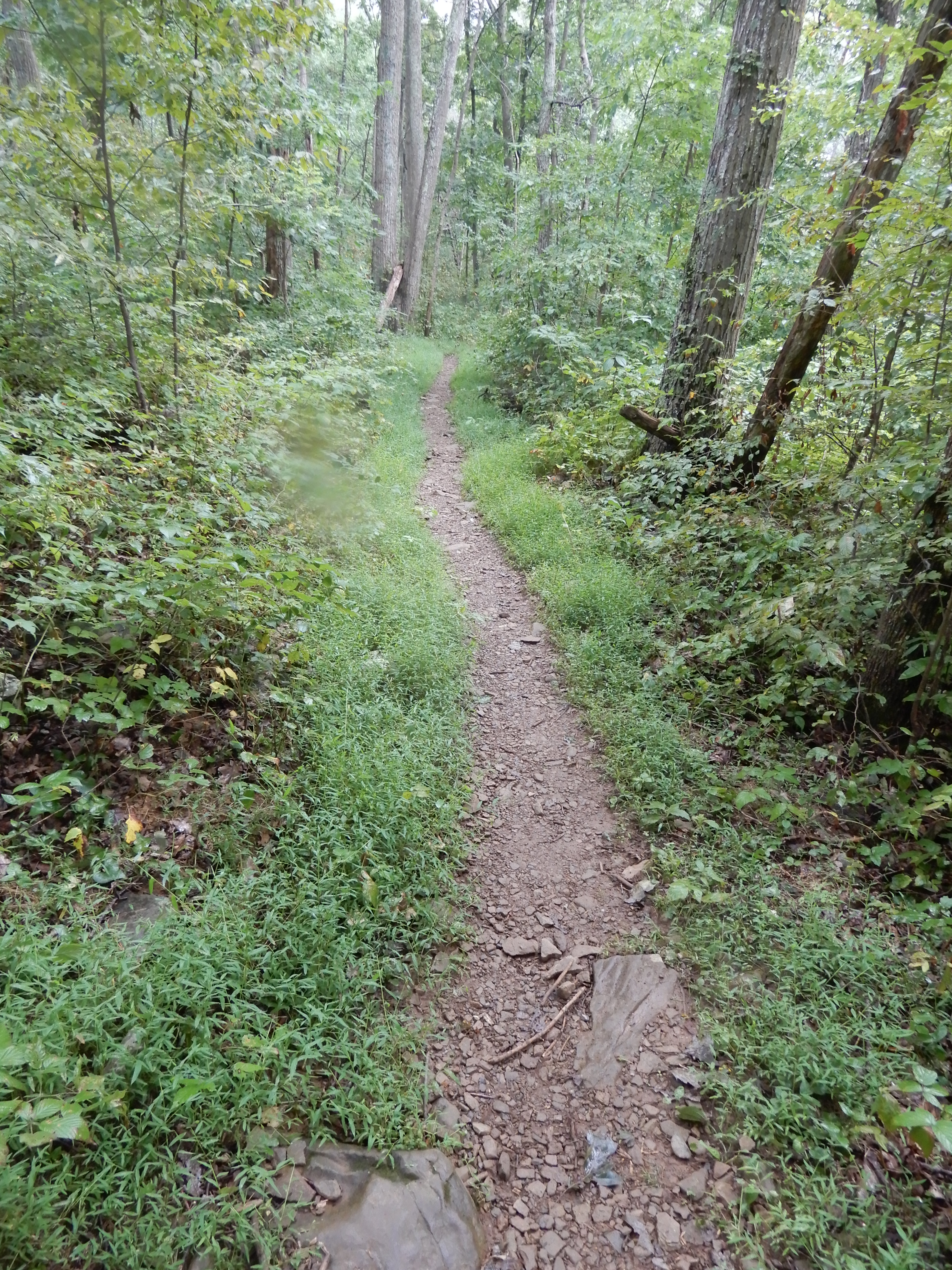
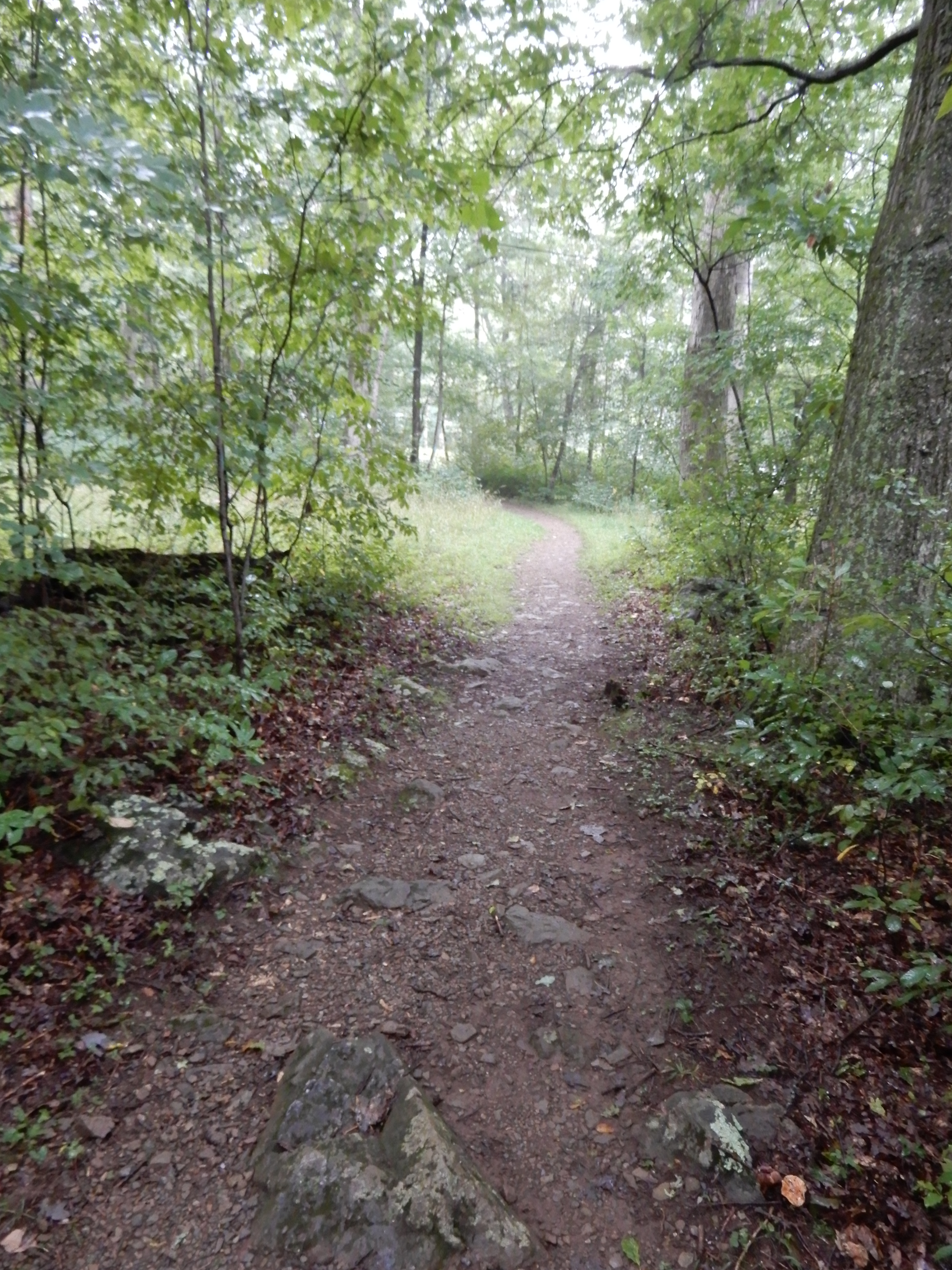
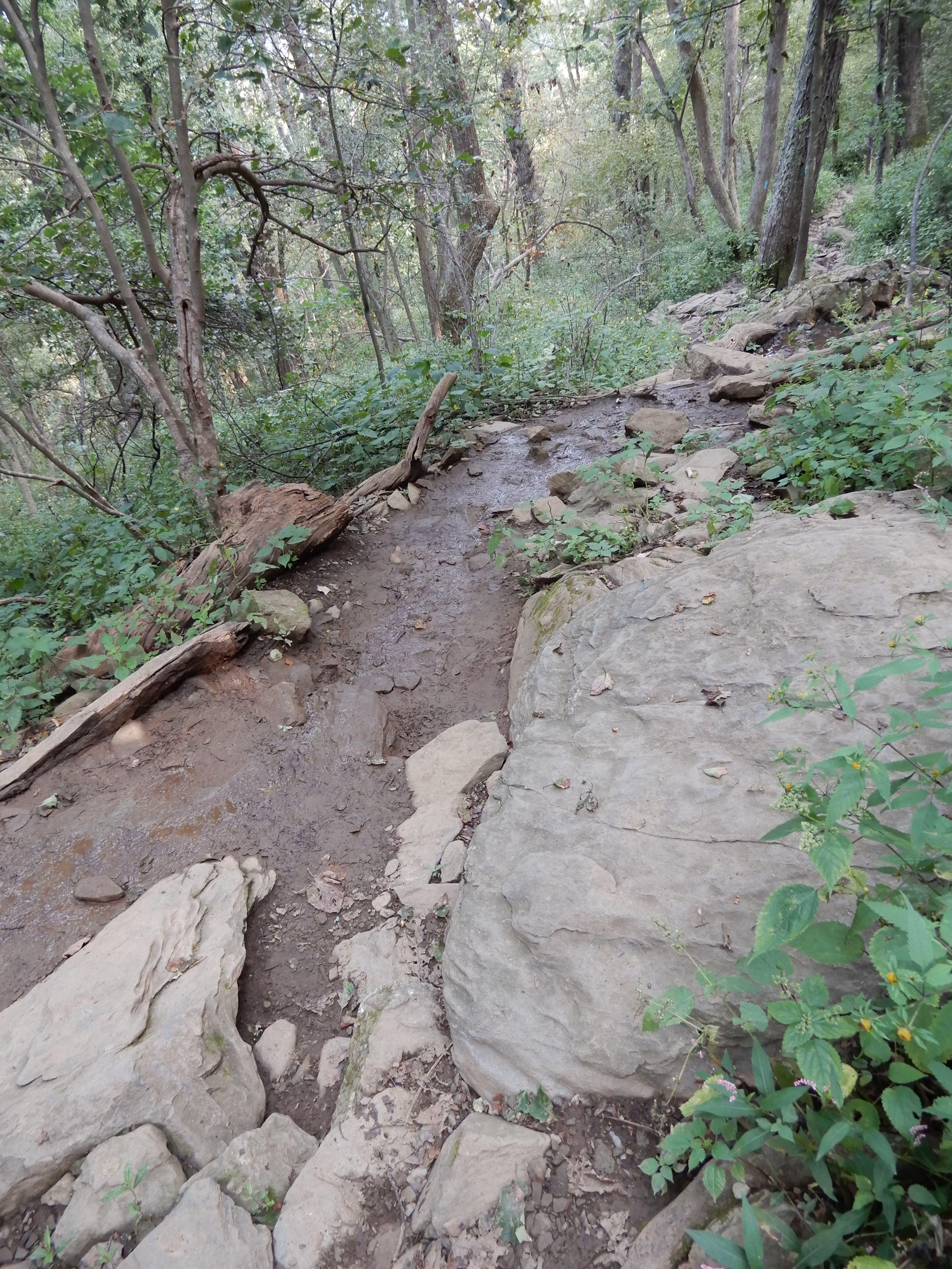
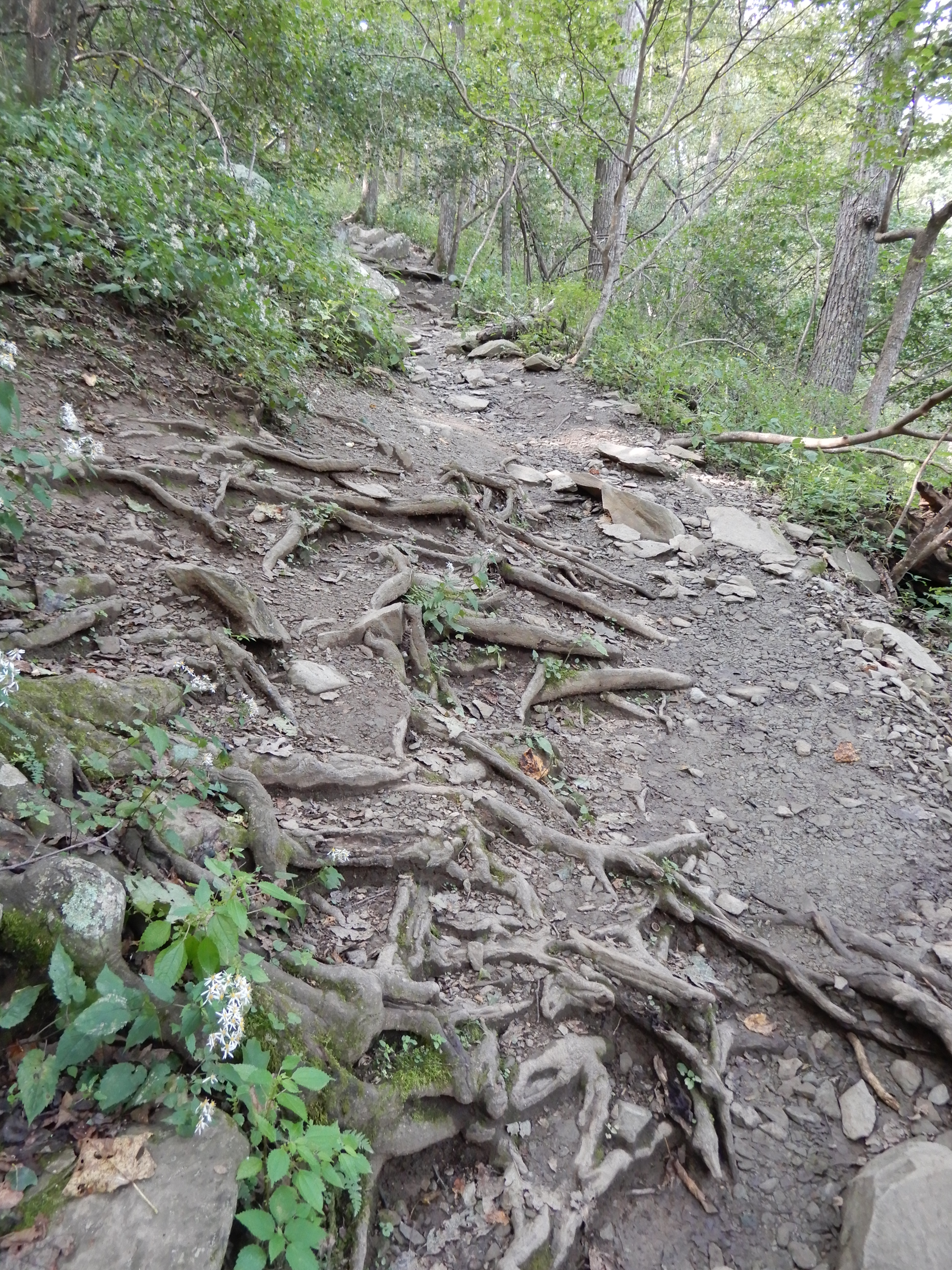
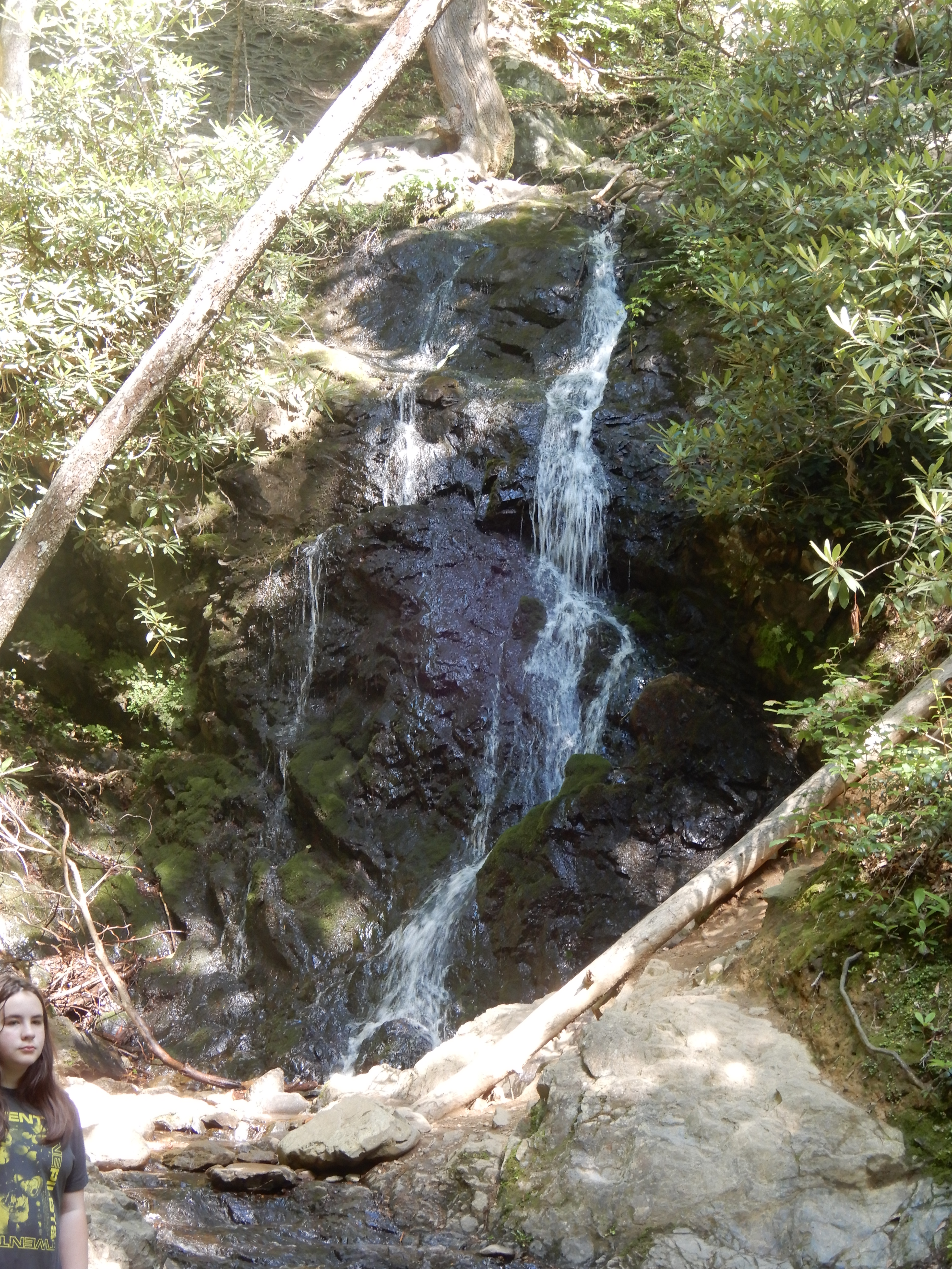
After, we drove back to Mathews Arm Campground. Early that afternoon I hiked to Overrun Falls on a very strenuous trail, then hiked back on a different but just as difficult trail back to the campground. It was a very hard 5 miles up and down twisty rocky trails, with the added benefit of being wet, slippery and muddy. But it was still fun.
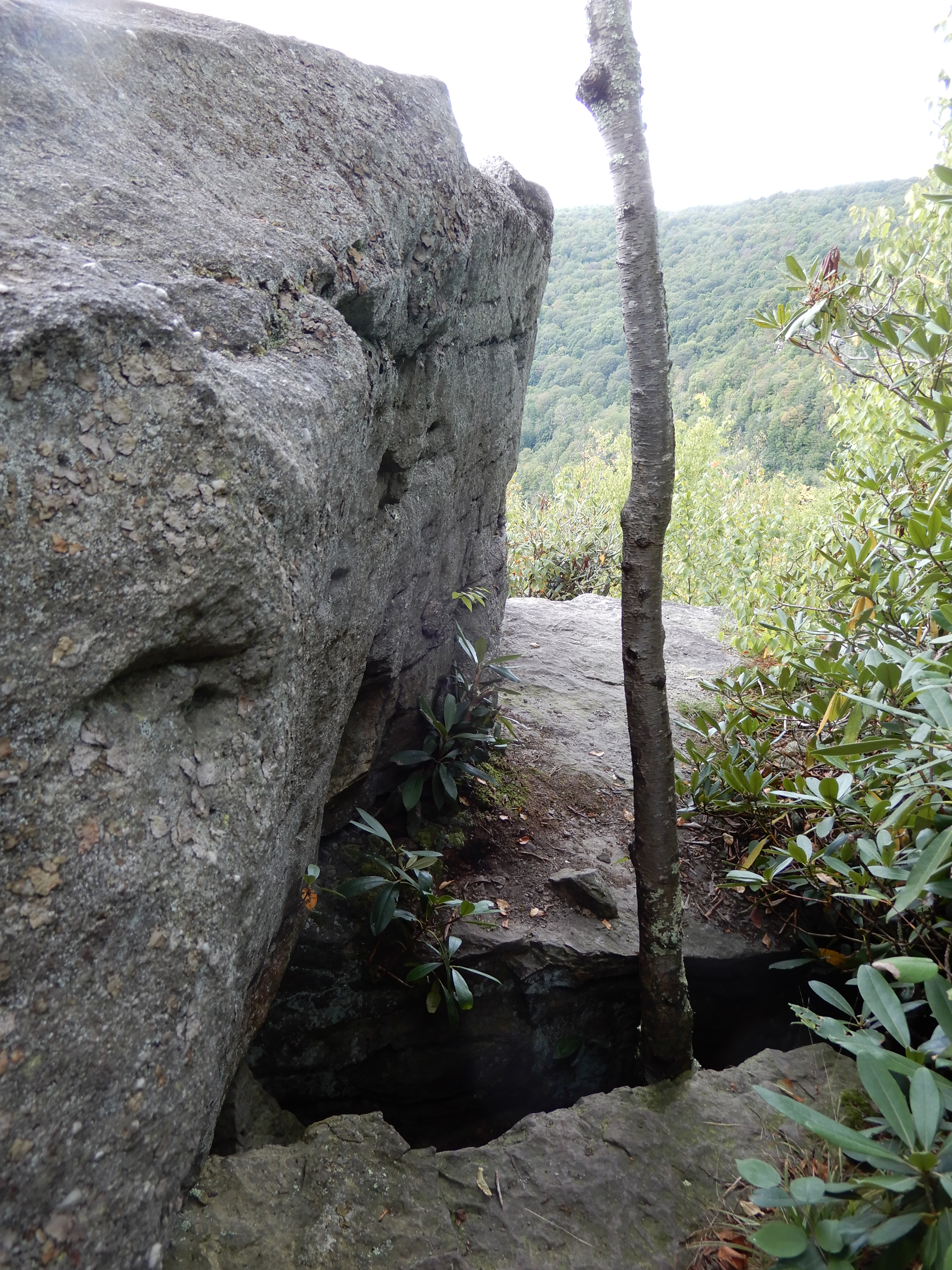
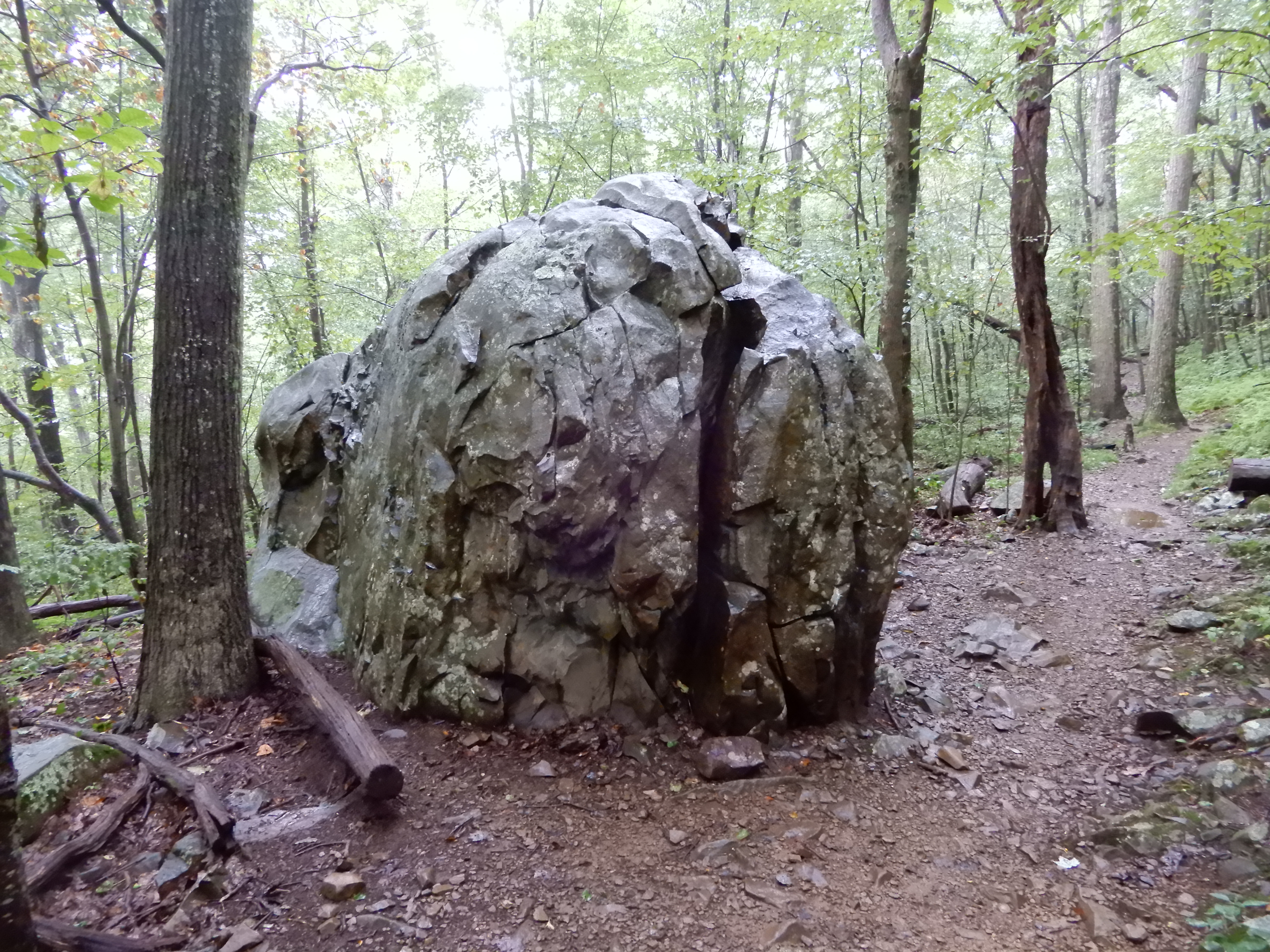
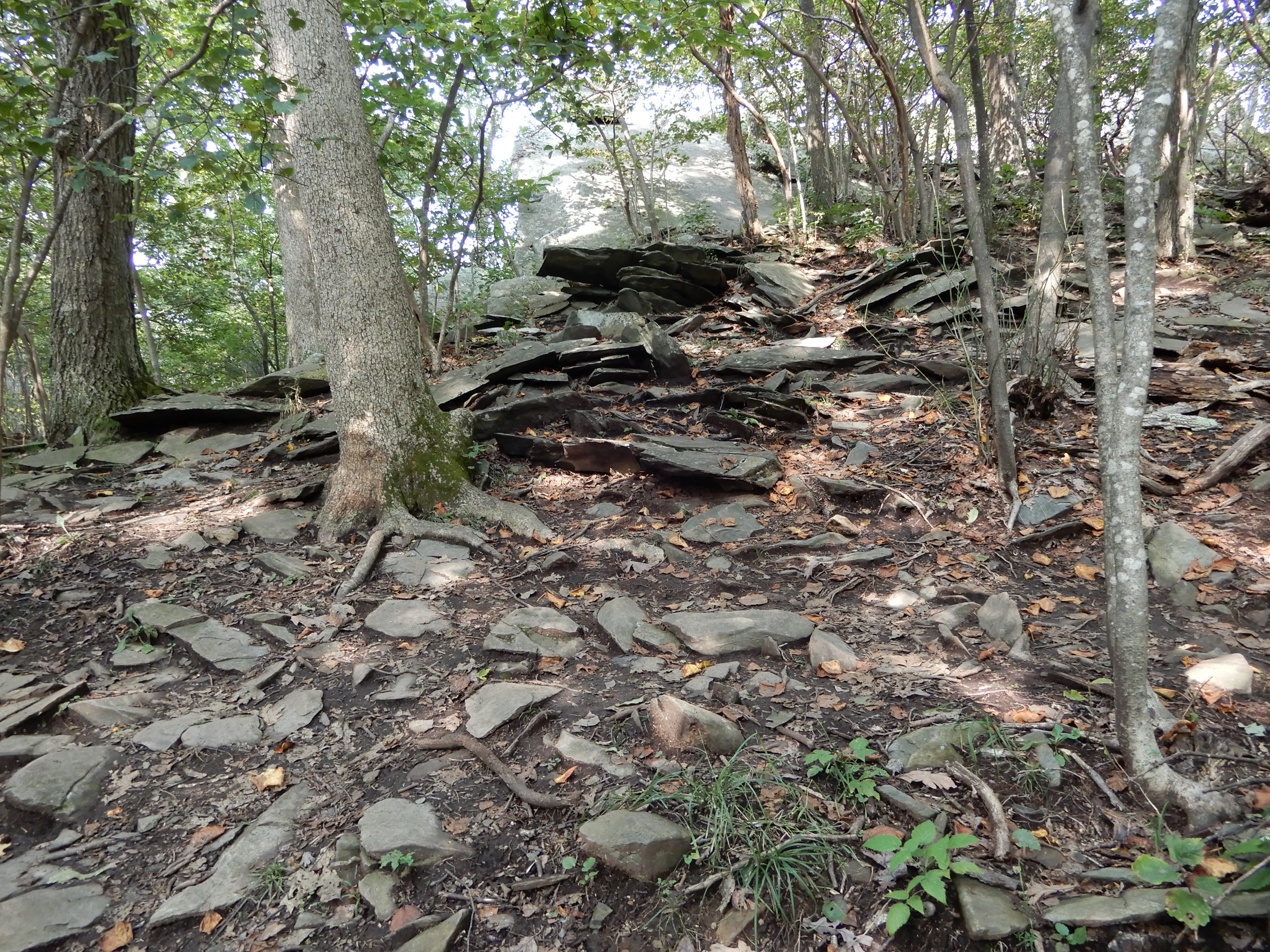
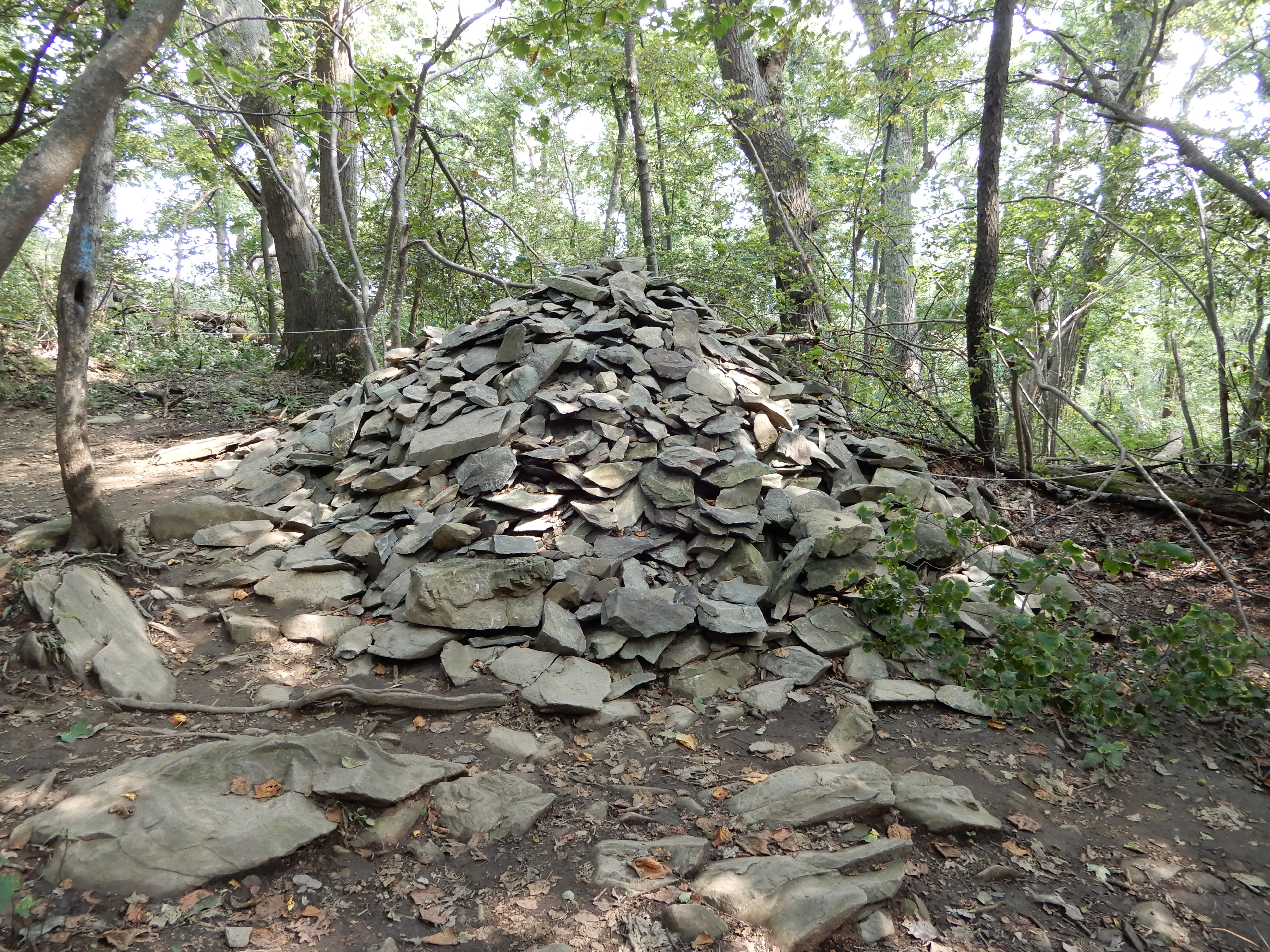
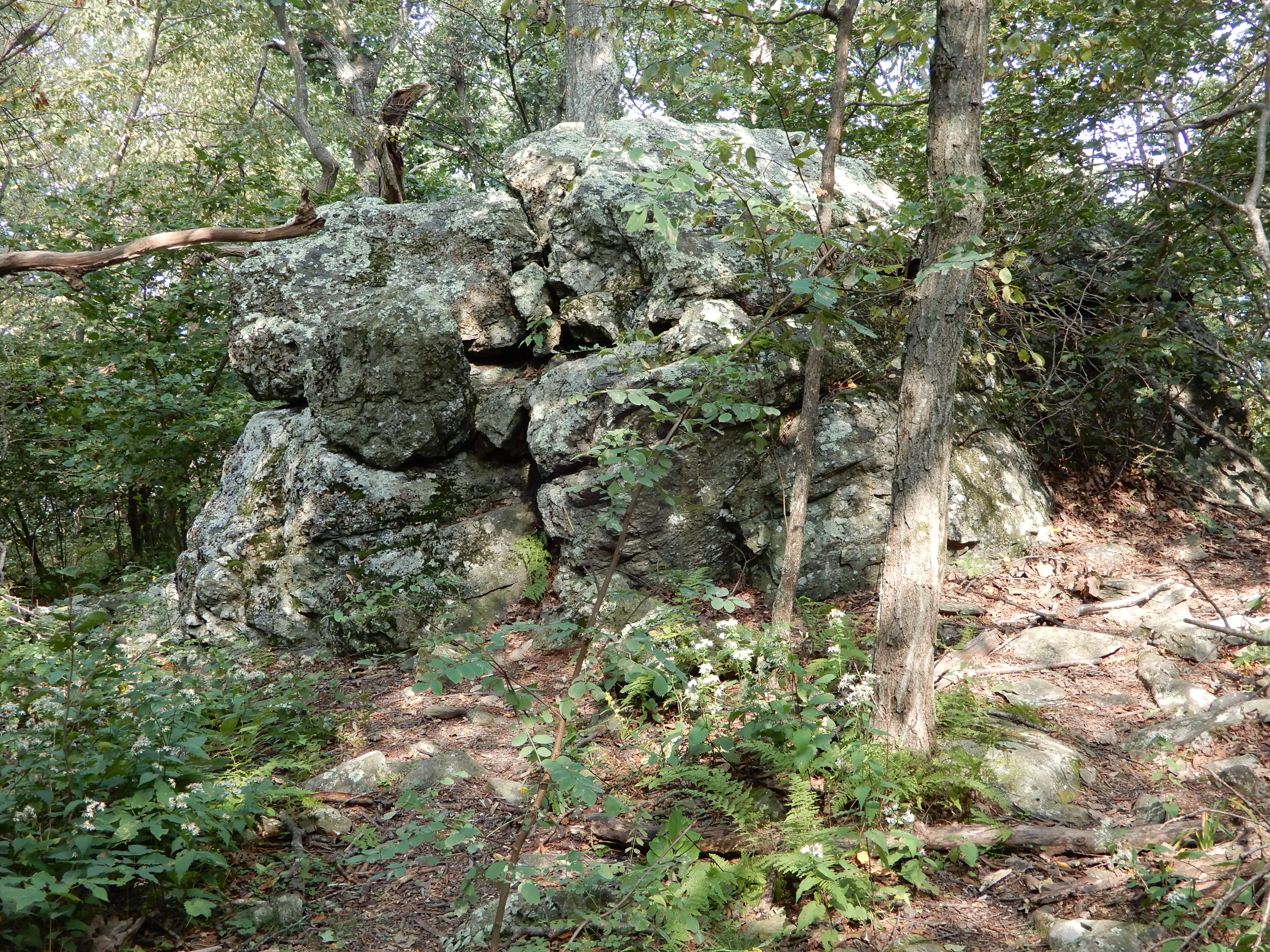
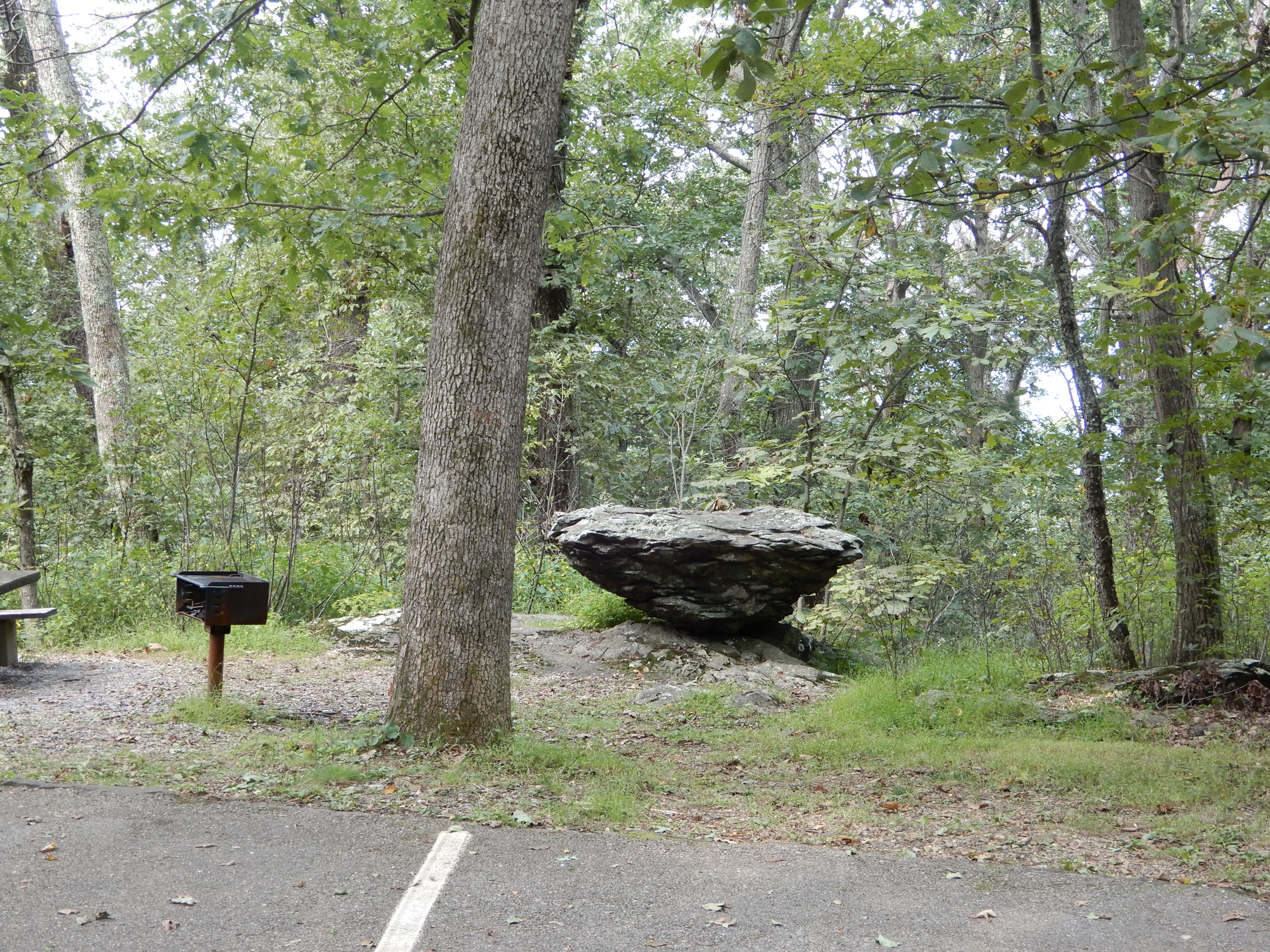
An interesting rock I passed along the way.
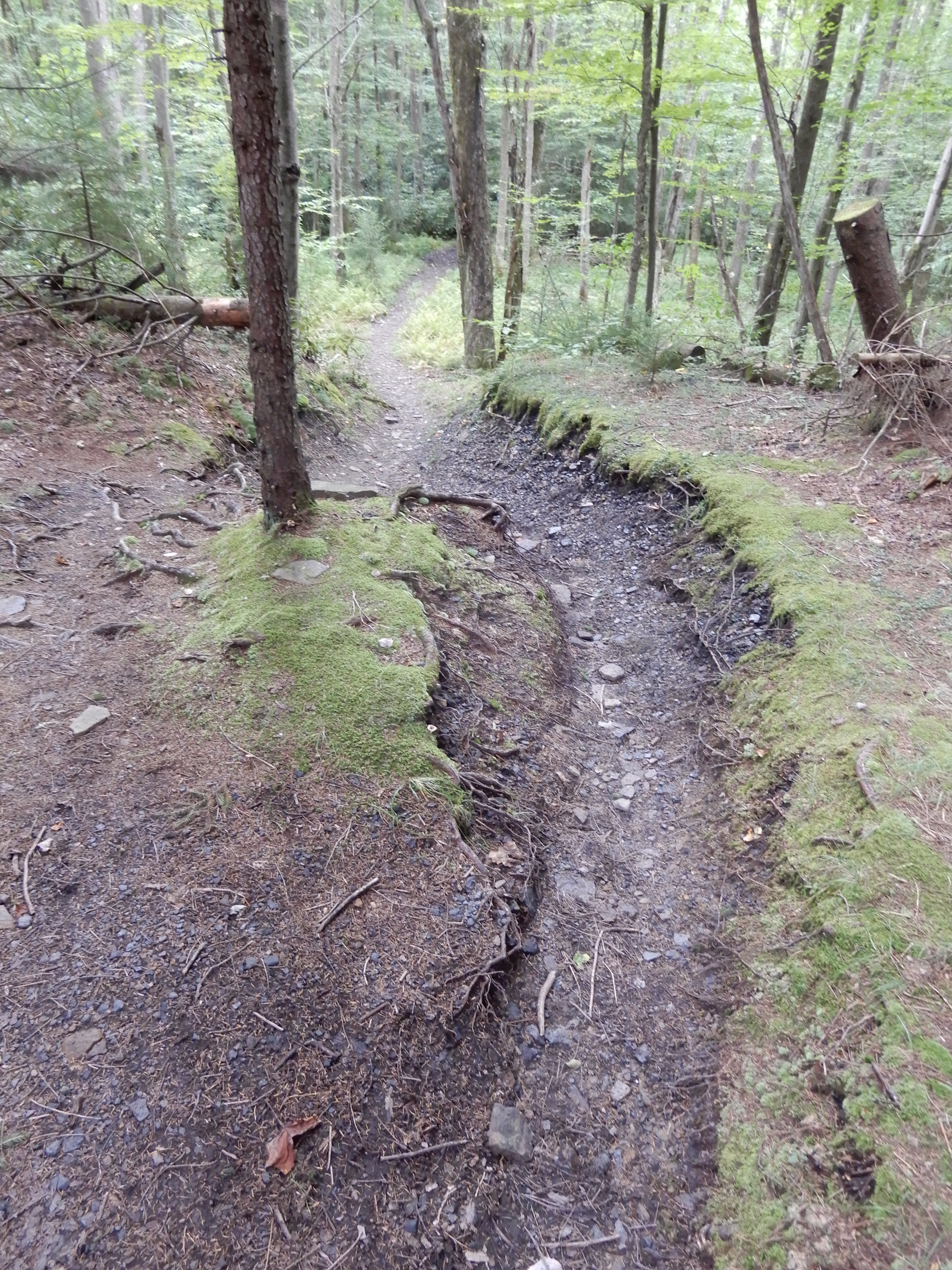
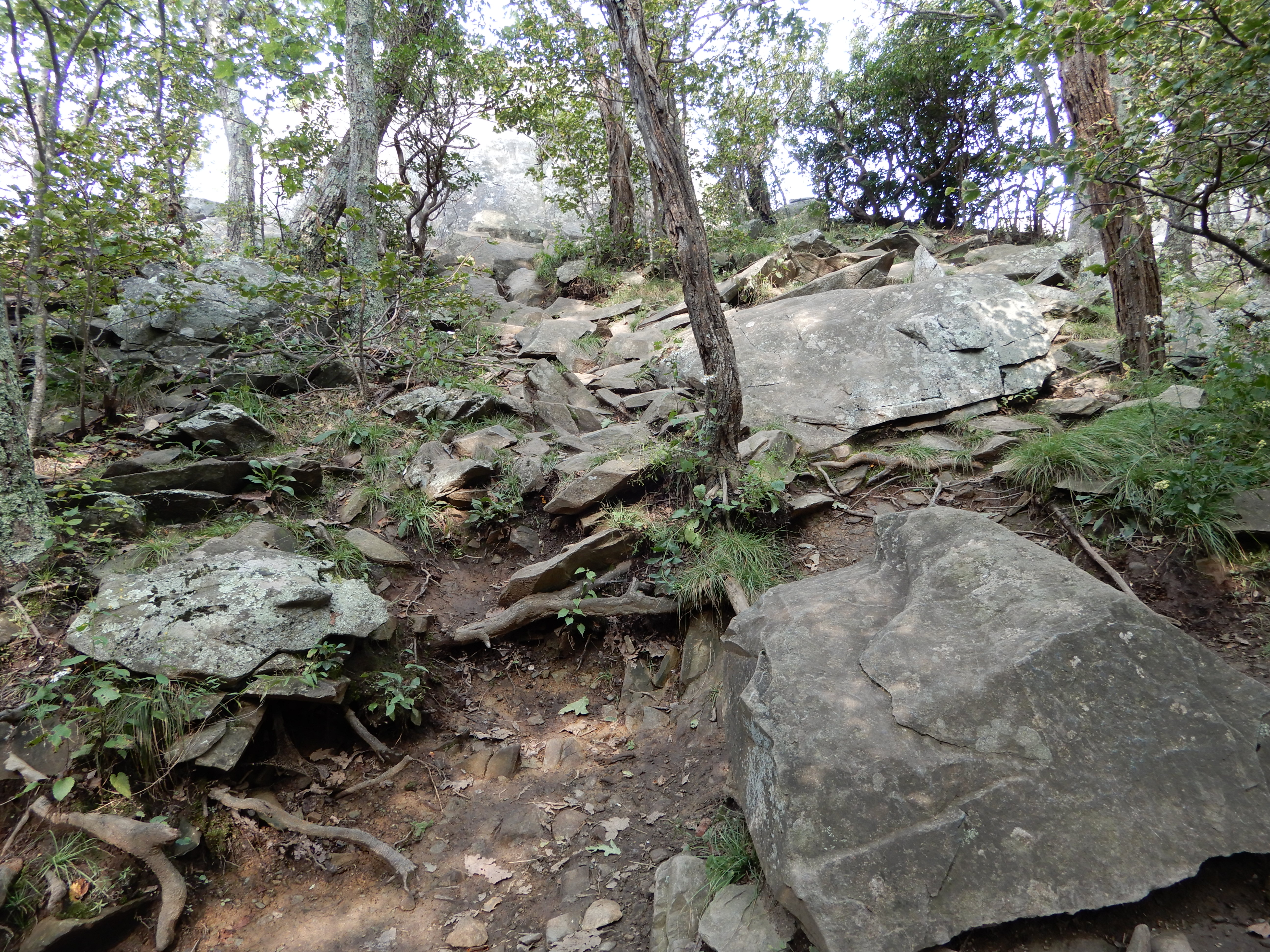
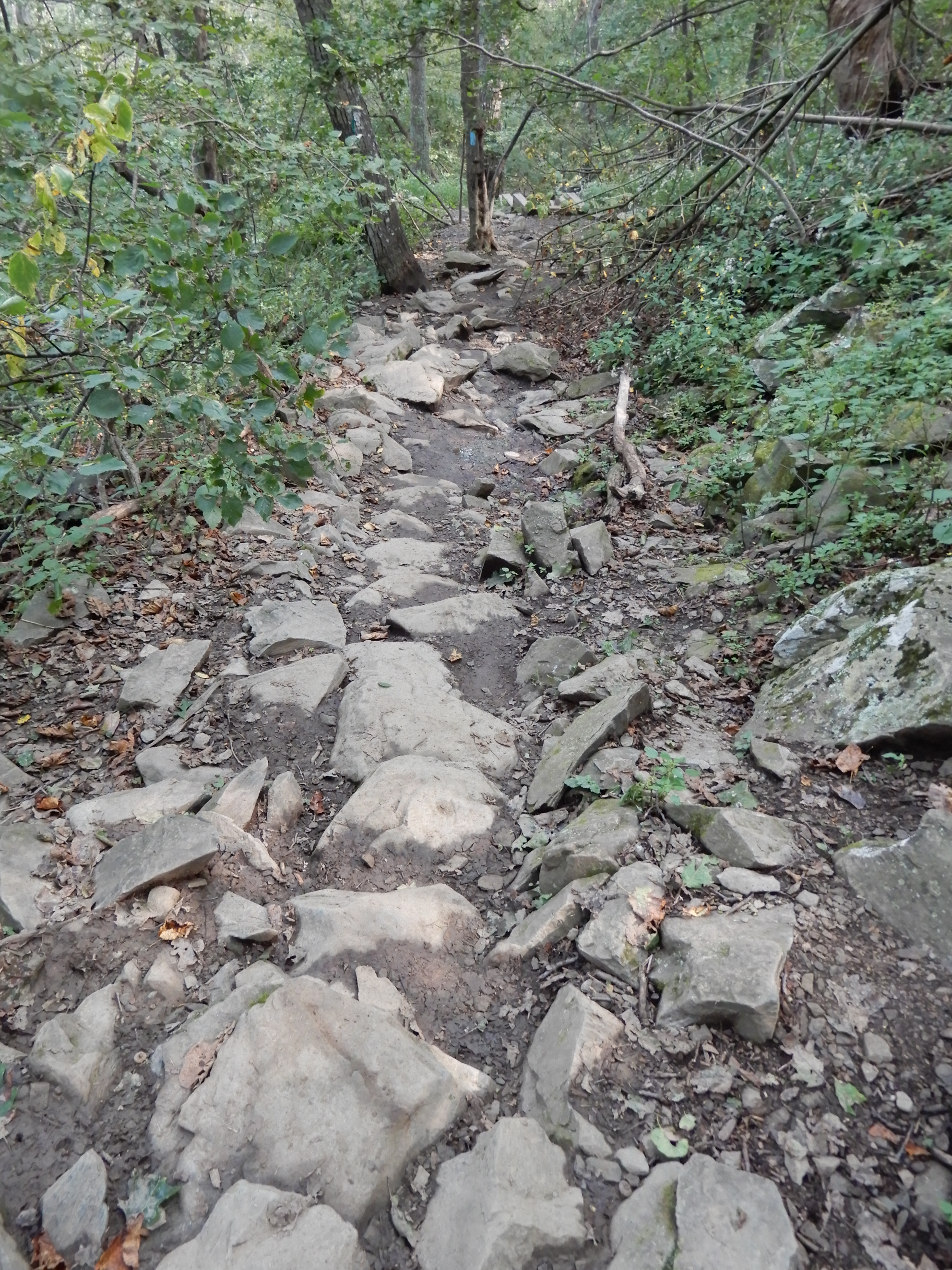
It looked to be a struggle to keep this trail clear.
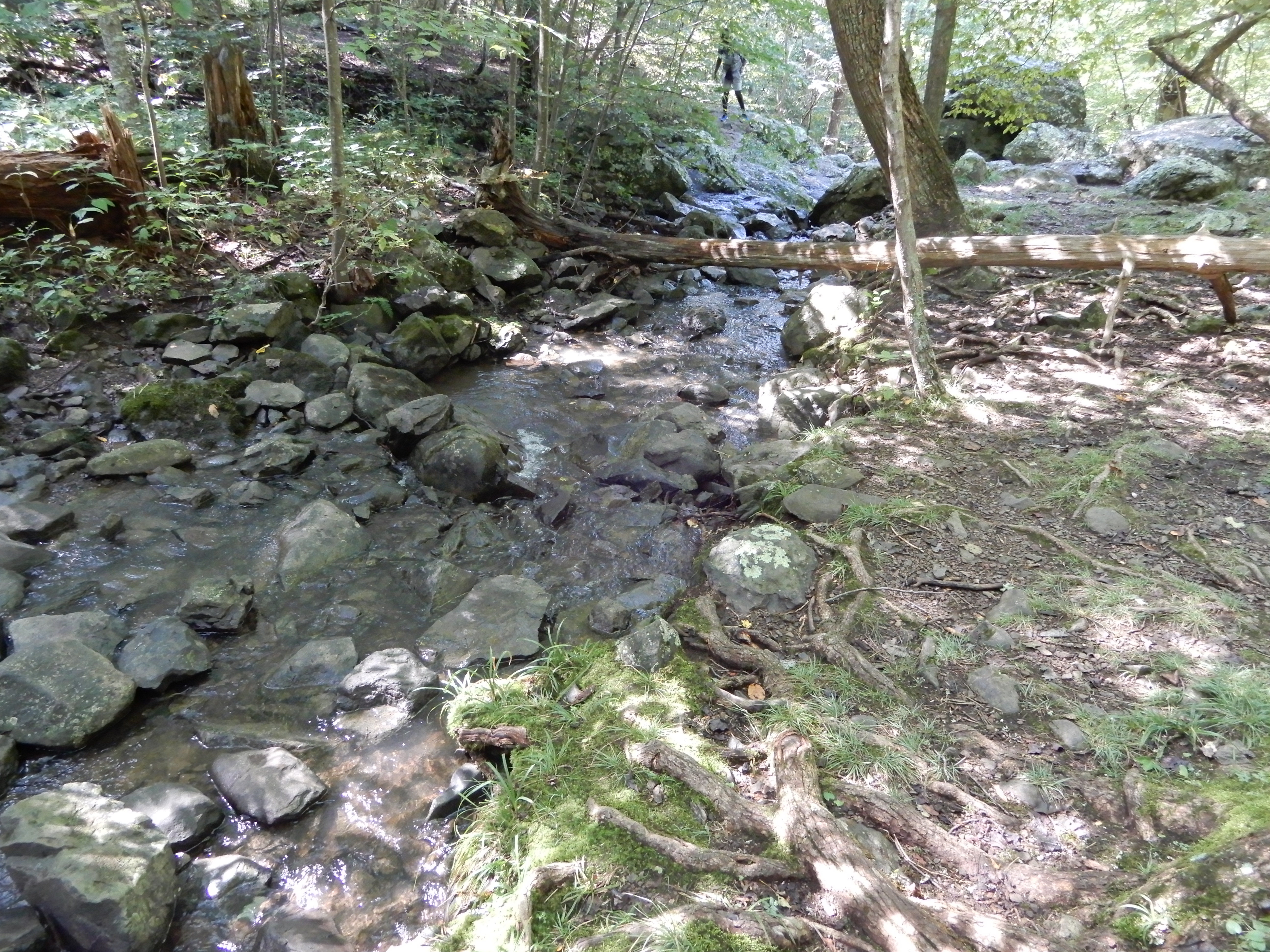
I reached the stream that led to the waterfall.
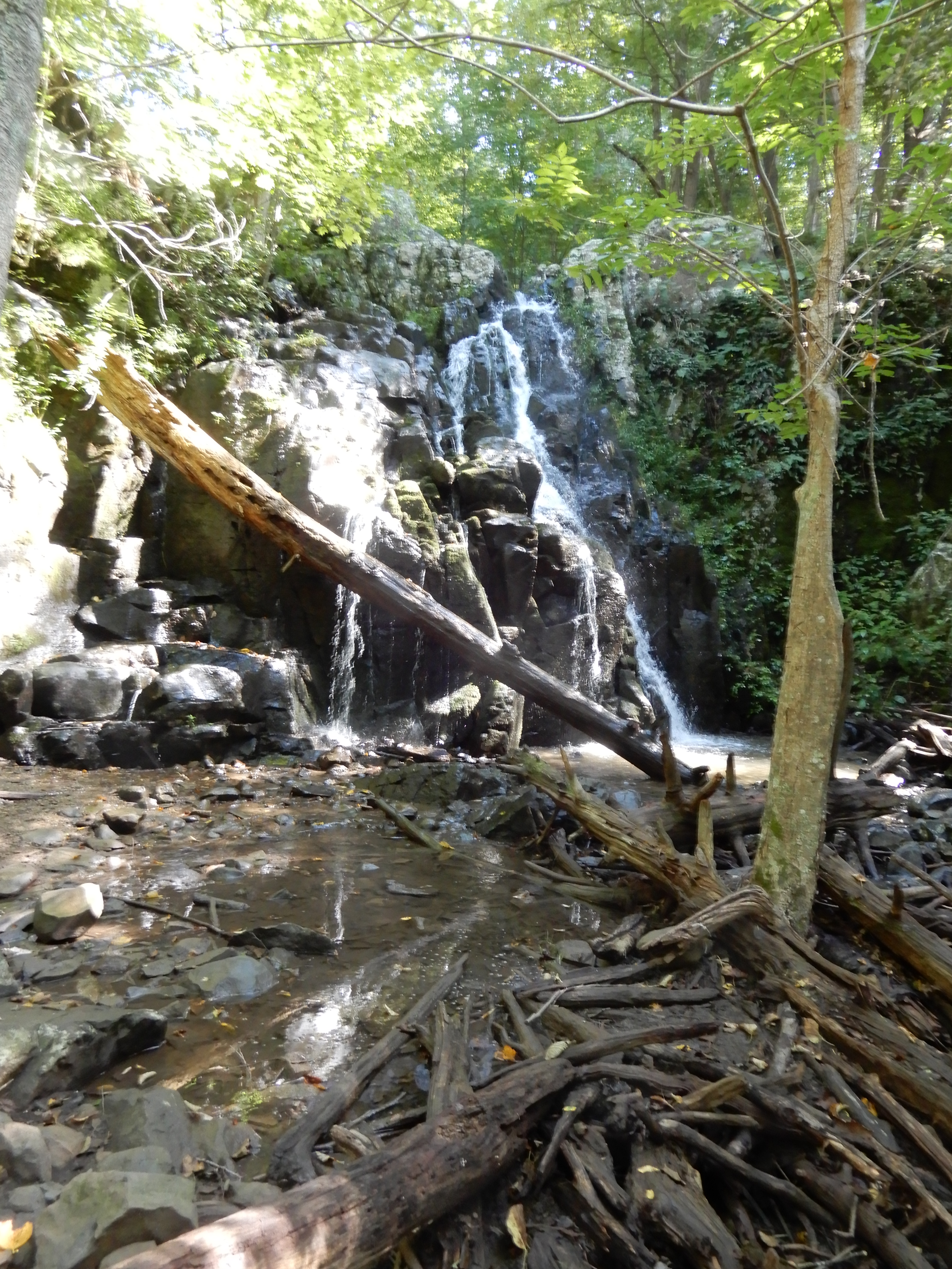
The top of the falls.

With all the recent rains, the falls was running pretty good.

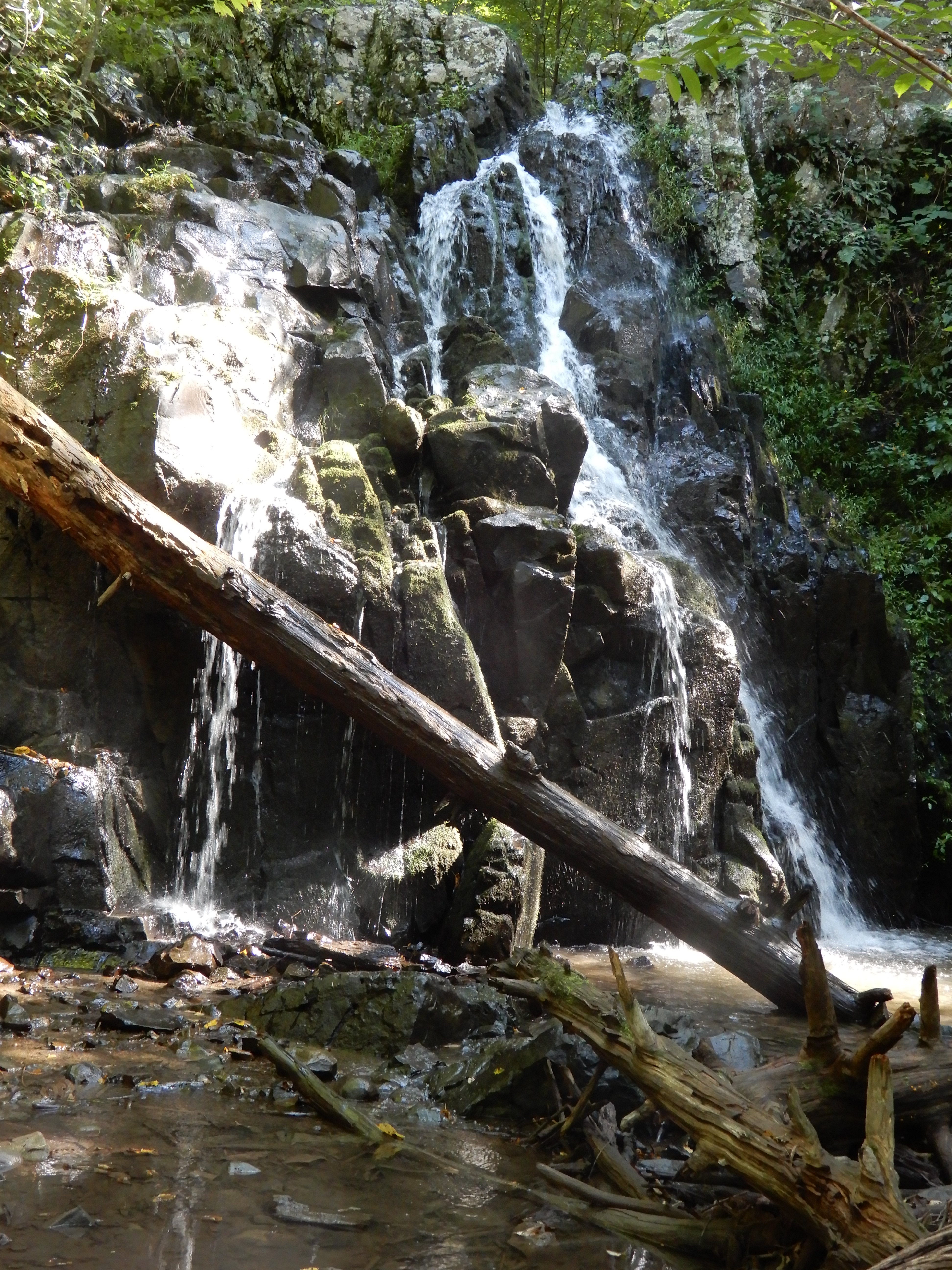
Of course, I had to get down to the bottom.
And up close.
Then it was back up to the campground.
And up.
Why does it seem longer back up than down? That evening after dinner we roamed around the campground. Then I was ready to crash. It had been a long day.
American Locations 5: Big Meadow Campground, on Skyline Drive in Shenandoah National Park, Virginia
We left Matthew Arm Campground early in the morning. Skyline Drive was foggy early on.
Later in the morning it cleared up.
We took a detour down off Skyline Drive to see Larray Caverns. This, as we learned, should not be decided on lightly. It was a narrow long twisty road leading down from the top to the bottom, and just as difficult, of course, driving back up. Which we decided to do right away after deciding upon arrival not to see the caverns. We turned into Big Meadow.
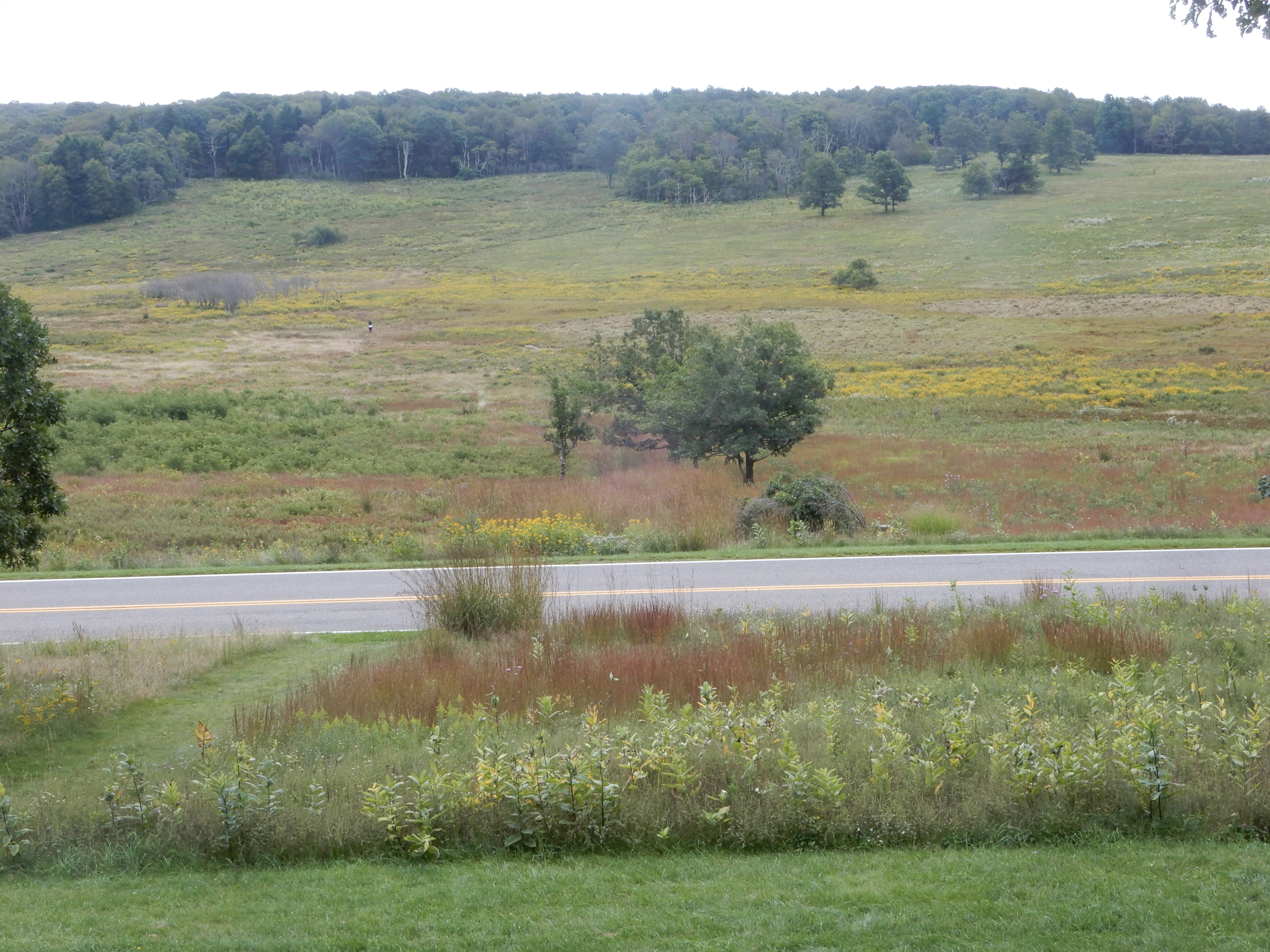
We saw the visitor center, which included a small lodge.
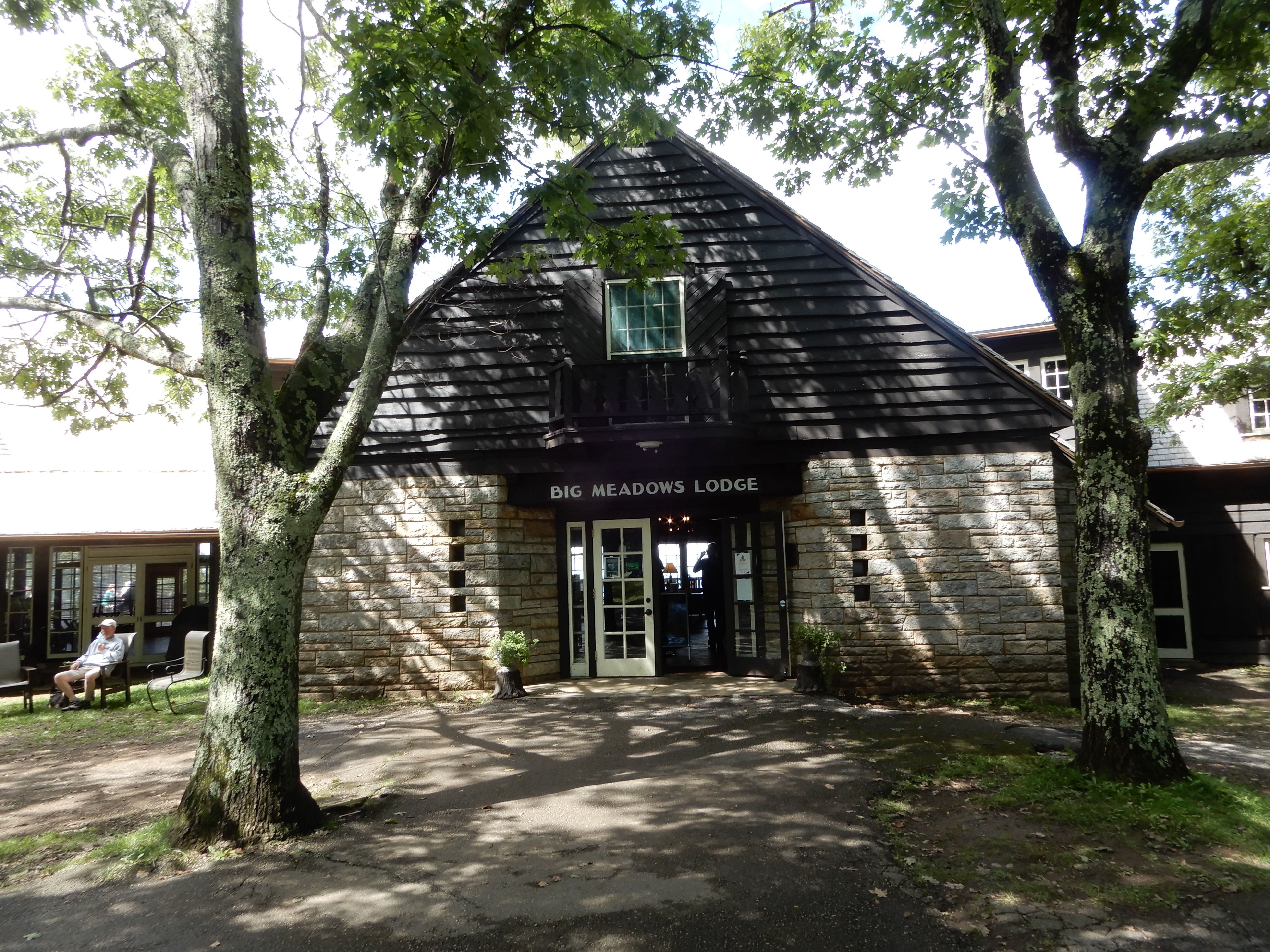
The Appalachian Trail passes through Big Meadow. The lodge gives hikers a chance to take a day or two off to rest up and clean up. There is also a large camp store where they can replenish supplies. Also a laundry and showers, for those who don’t want to check into the lodge.
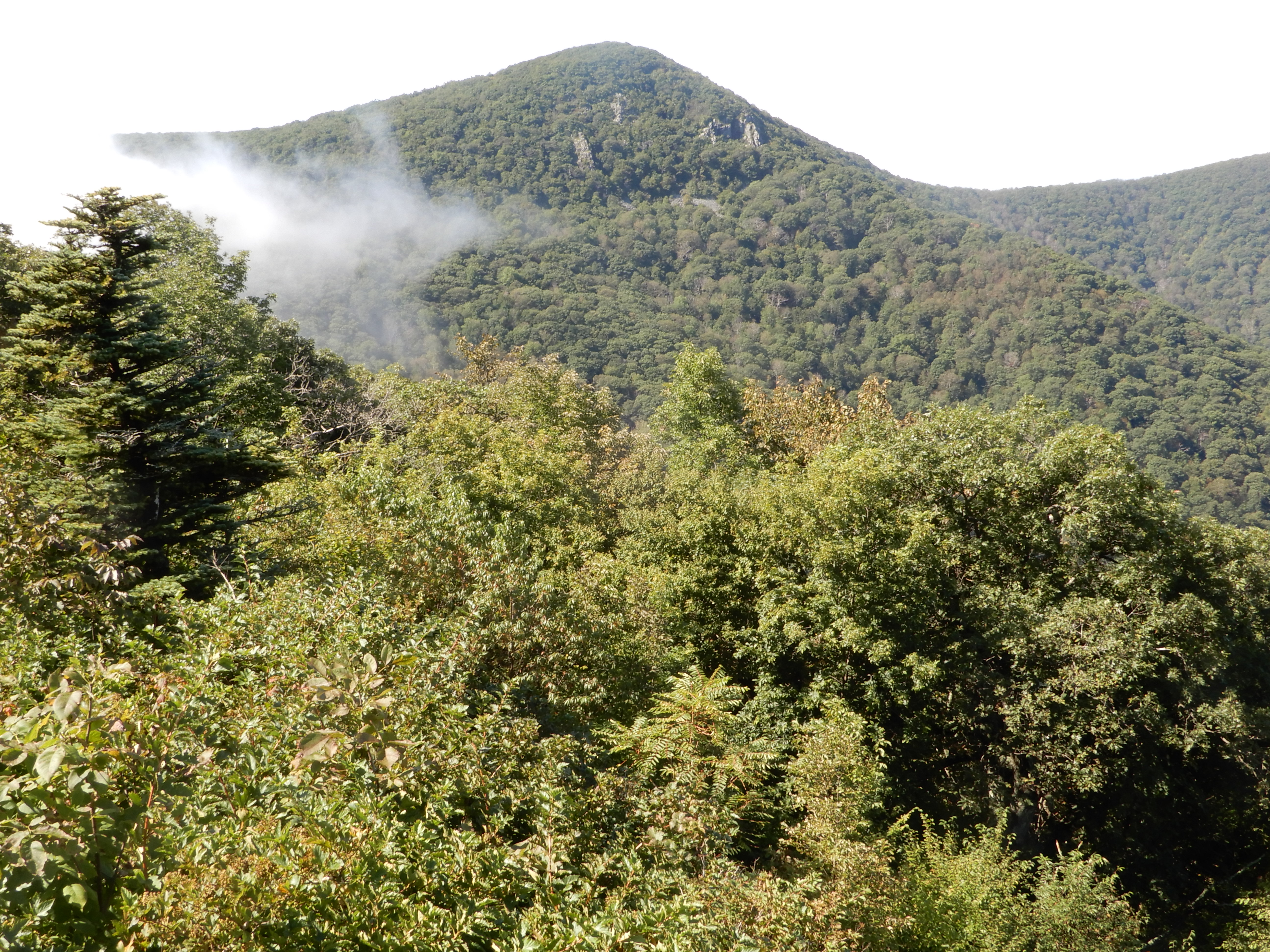
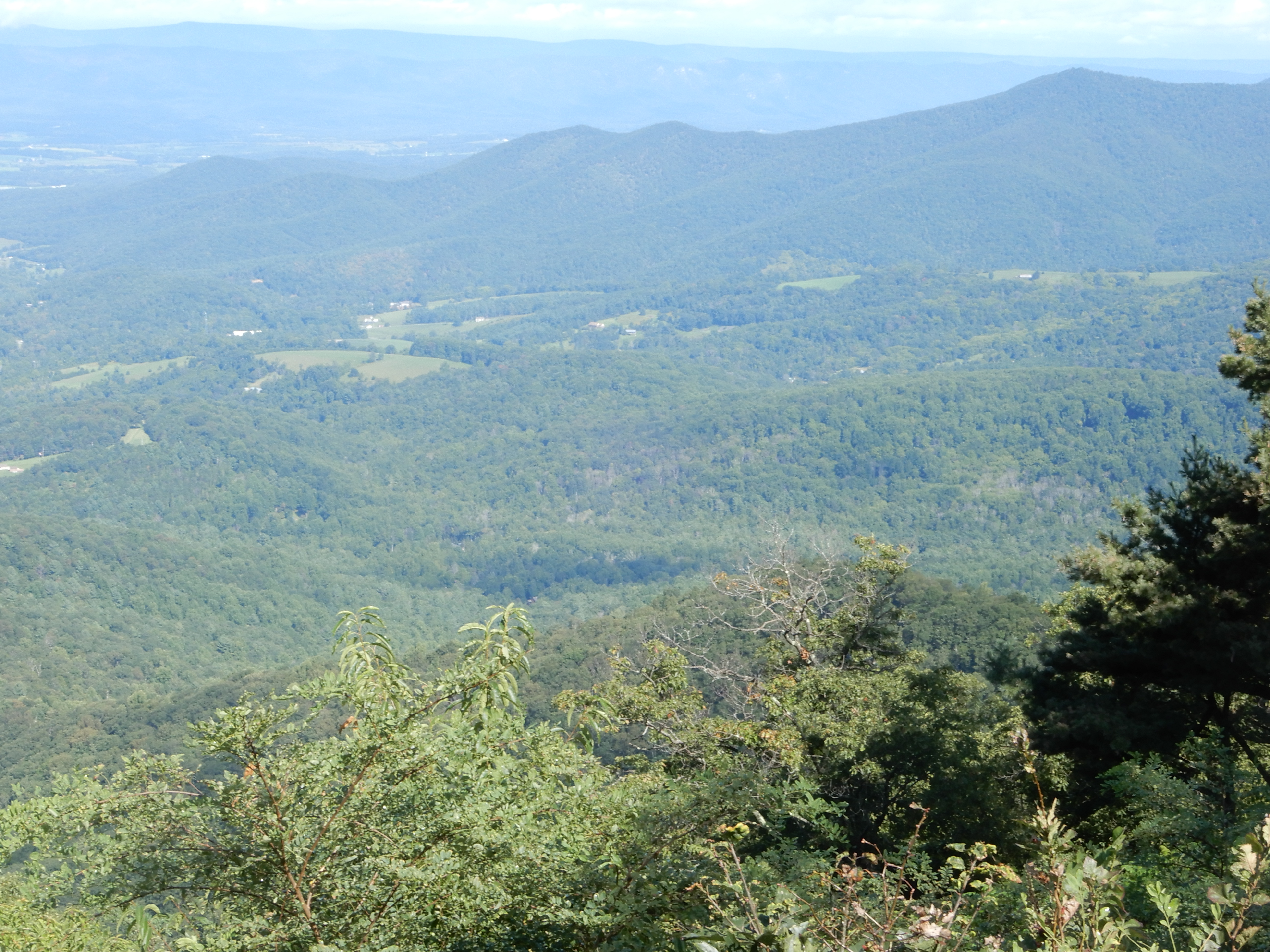
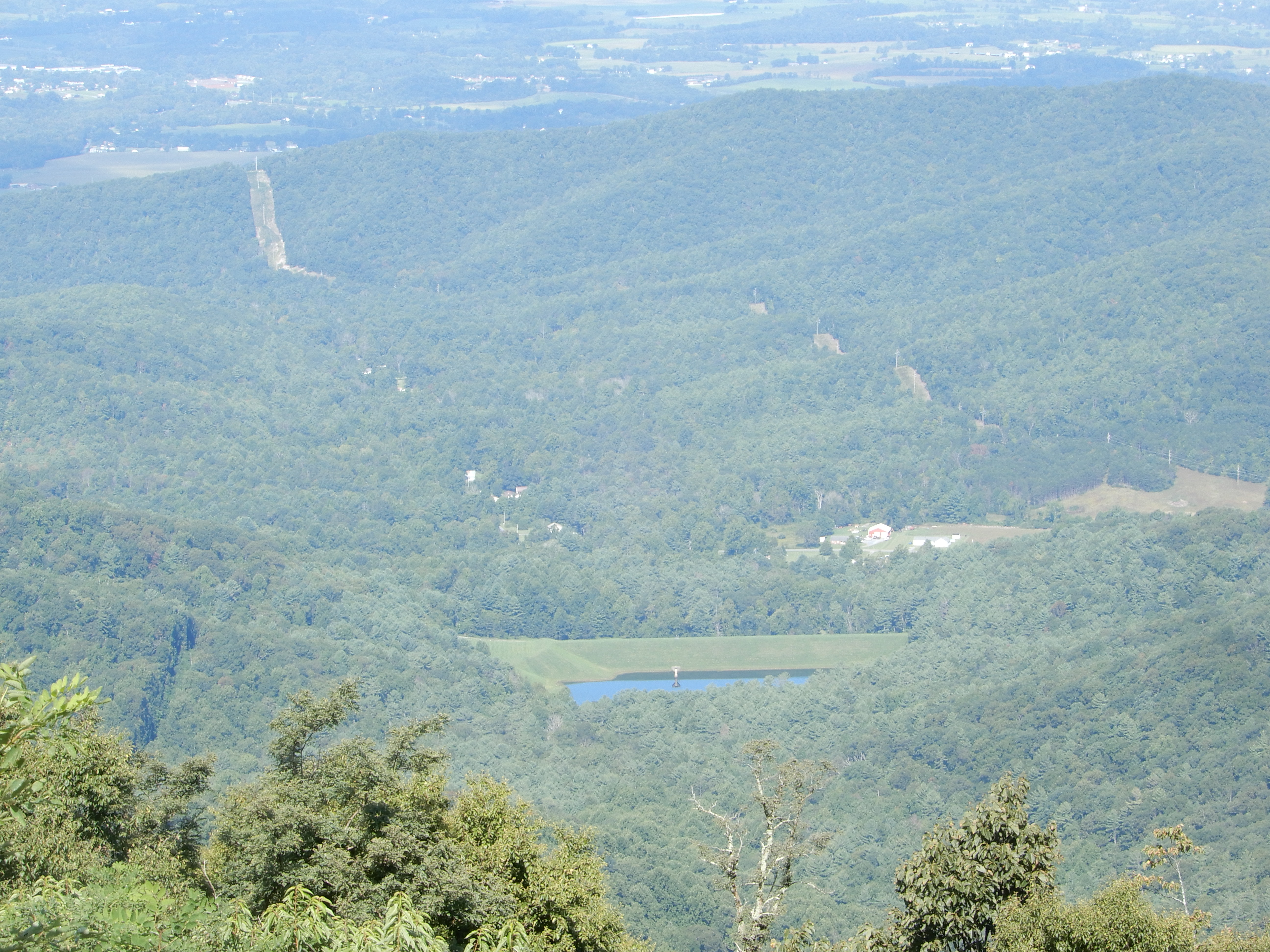
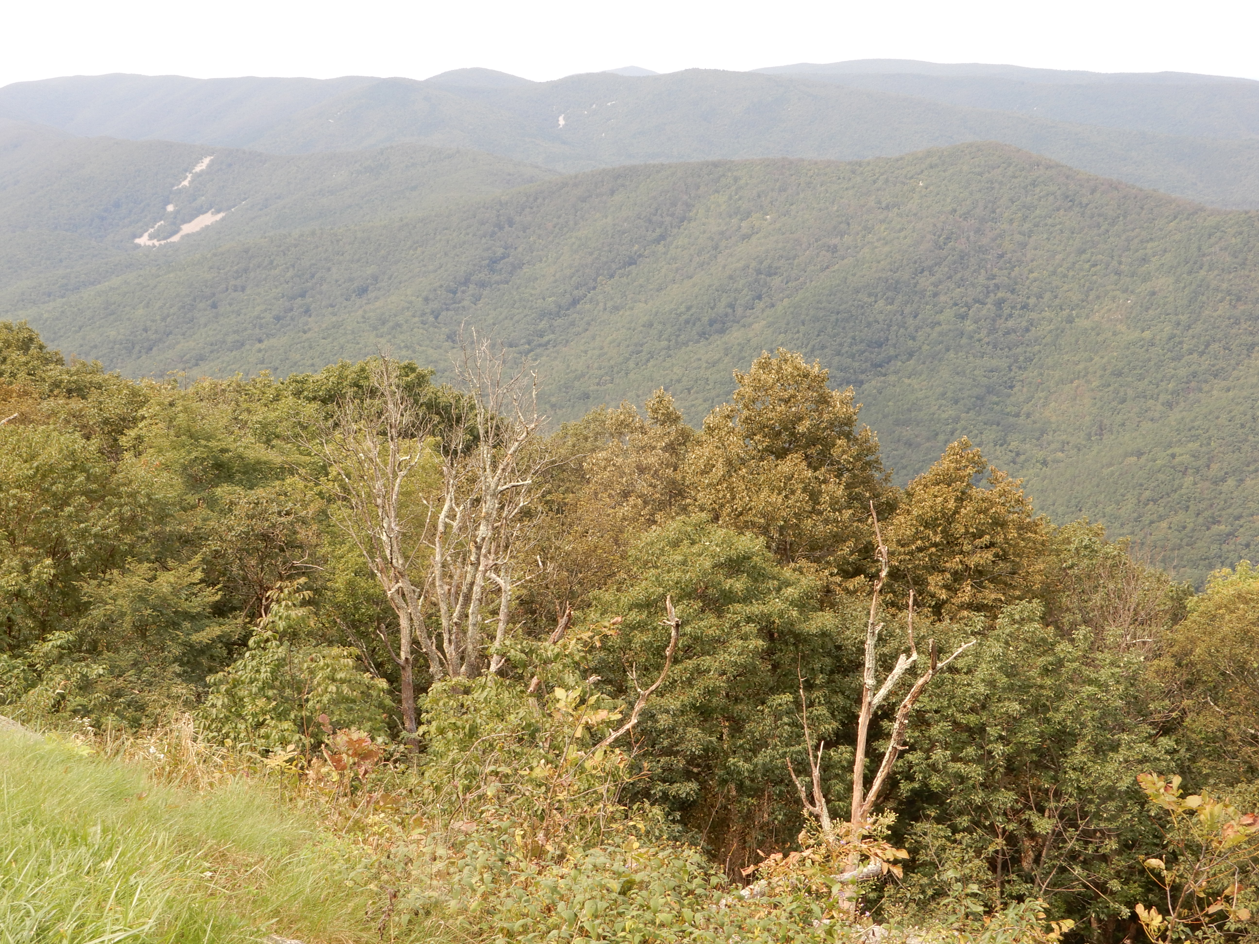
At the visitor center there was a trail leading up to a good overlook.
It made for a good photo op.
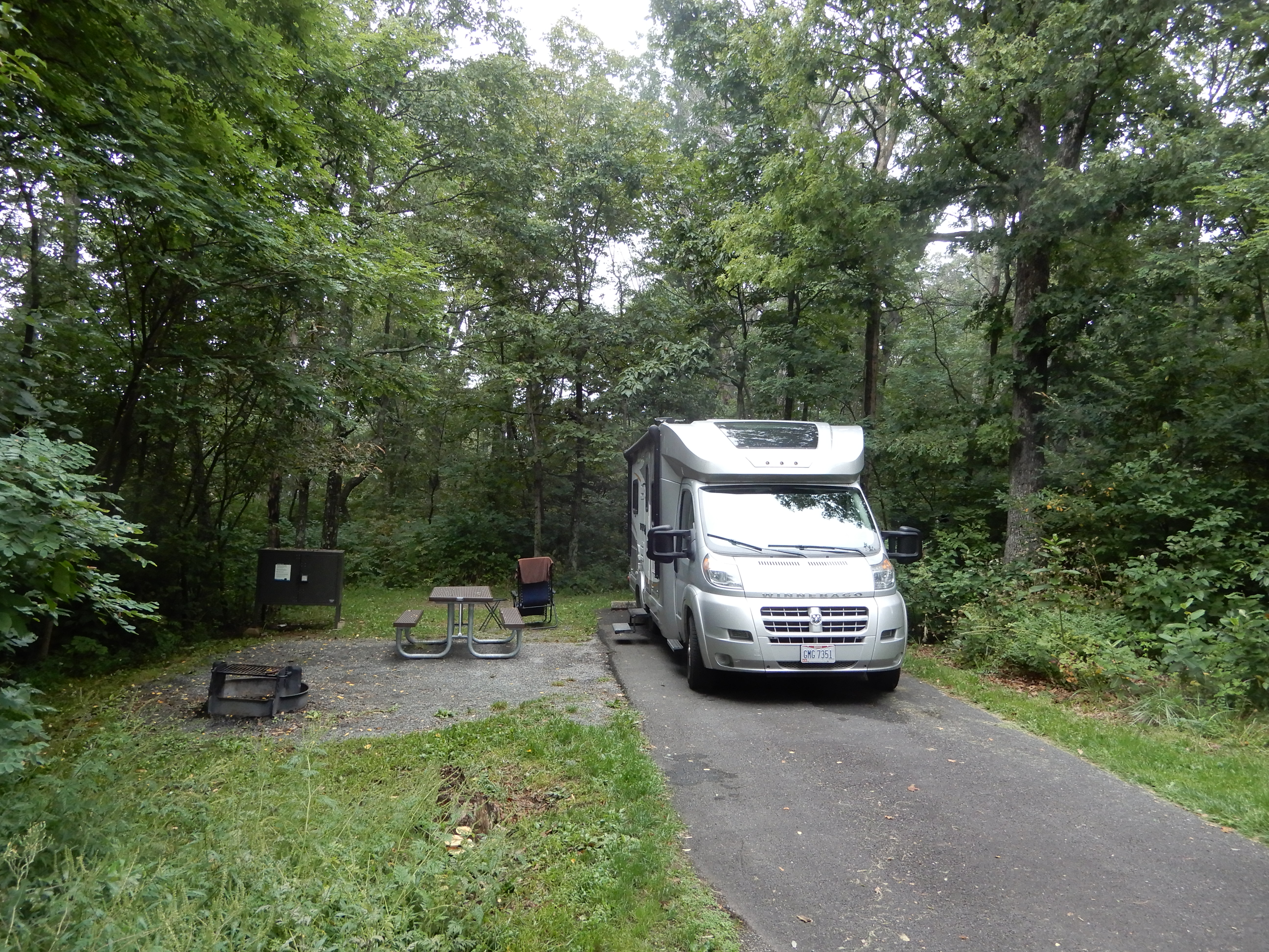
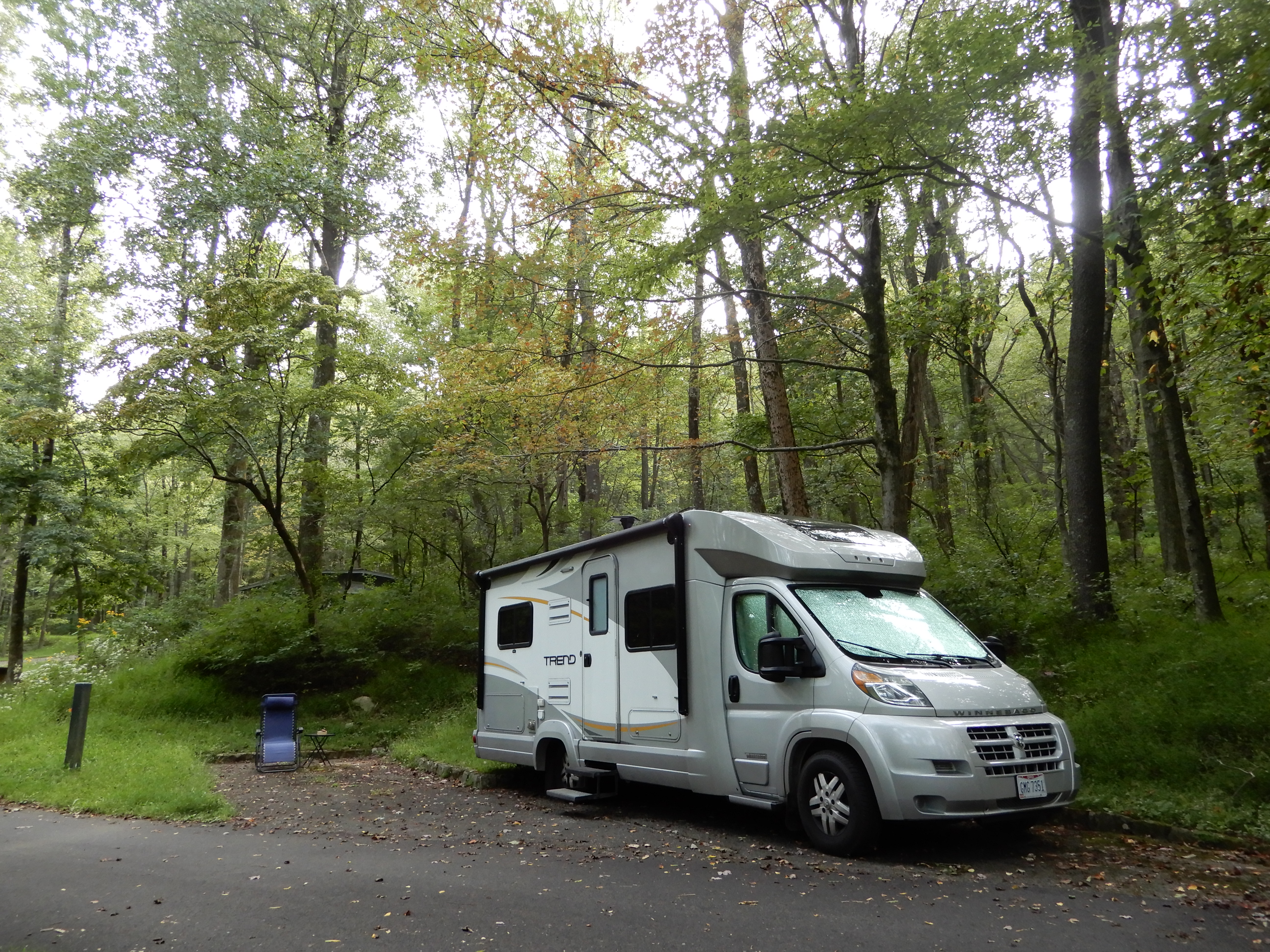
We then checked into our campsite.
We spent the rest of the day relaxing around out site. We woke up to yet another foggy morning.

We decided to stay another day to catch up on our laundry and just take it easy. Although I did get up on the Appalachian Trail and hiked a bit of it, just to say I had.
American Locations 6: Finishing the Skyline Drive, Shenandoah National Park, Virginia
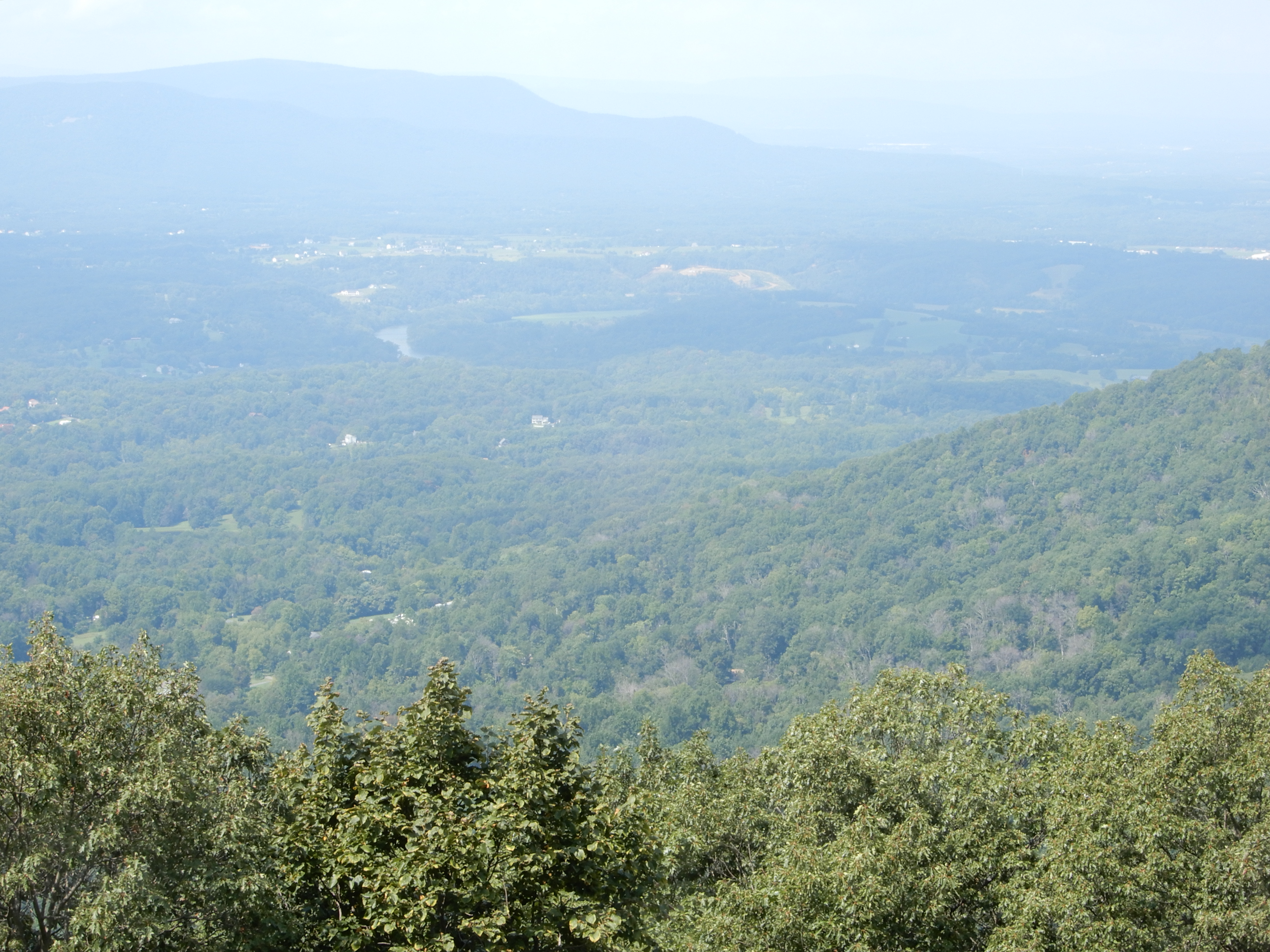
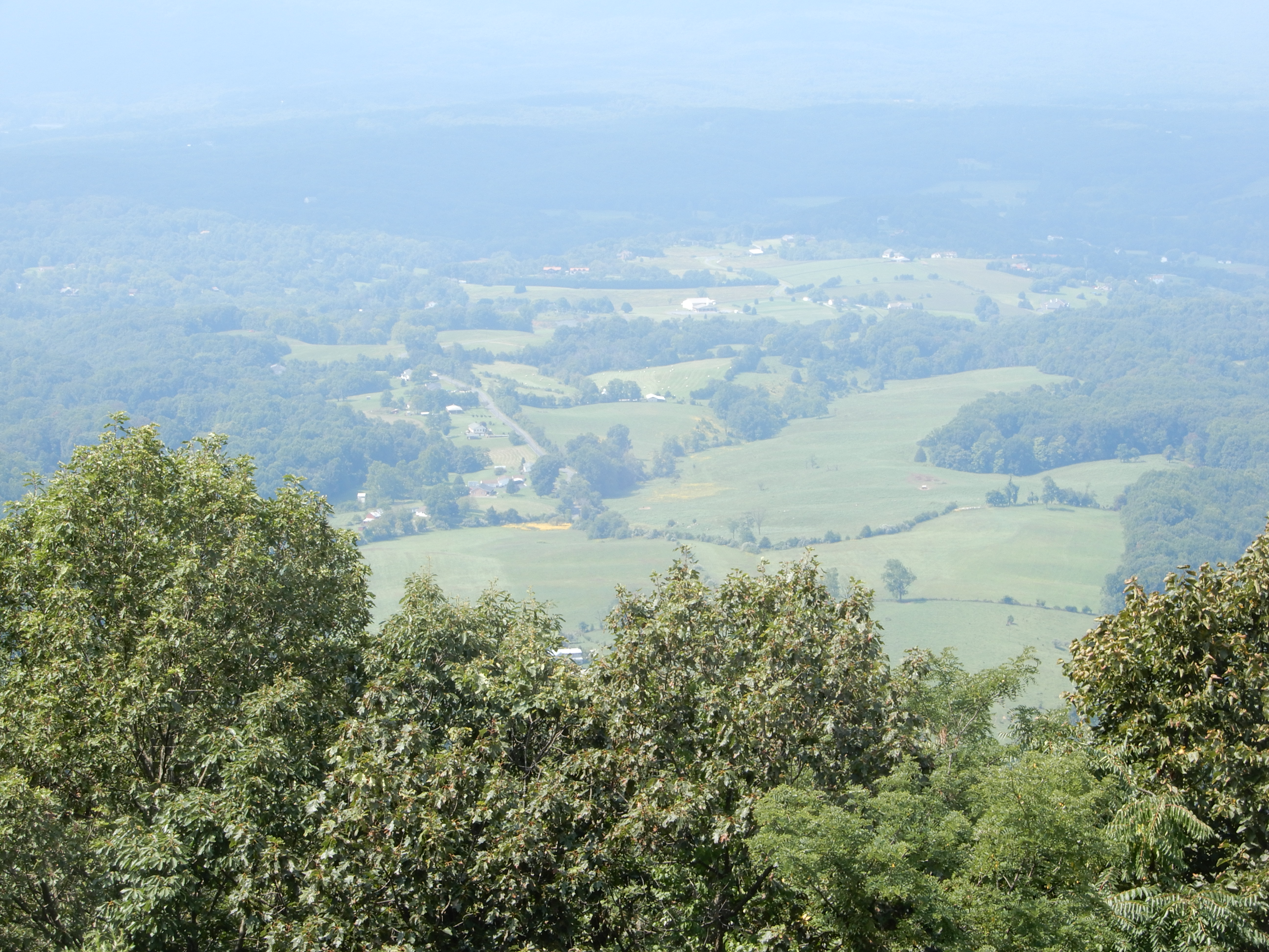
We left Big Meadows Campground early in the morning. We drove the rest of the Skyline Drive, stopping at several overlooks. At first it was as foggy as usual.

Eventually, the fog began to lift.
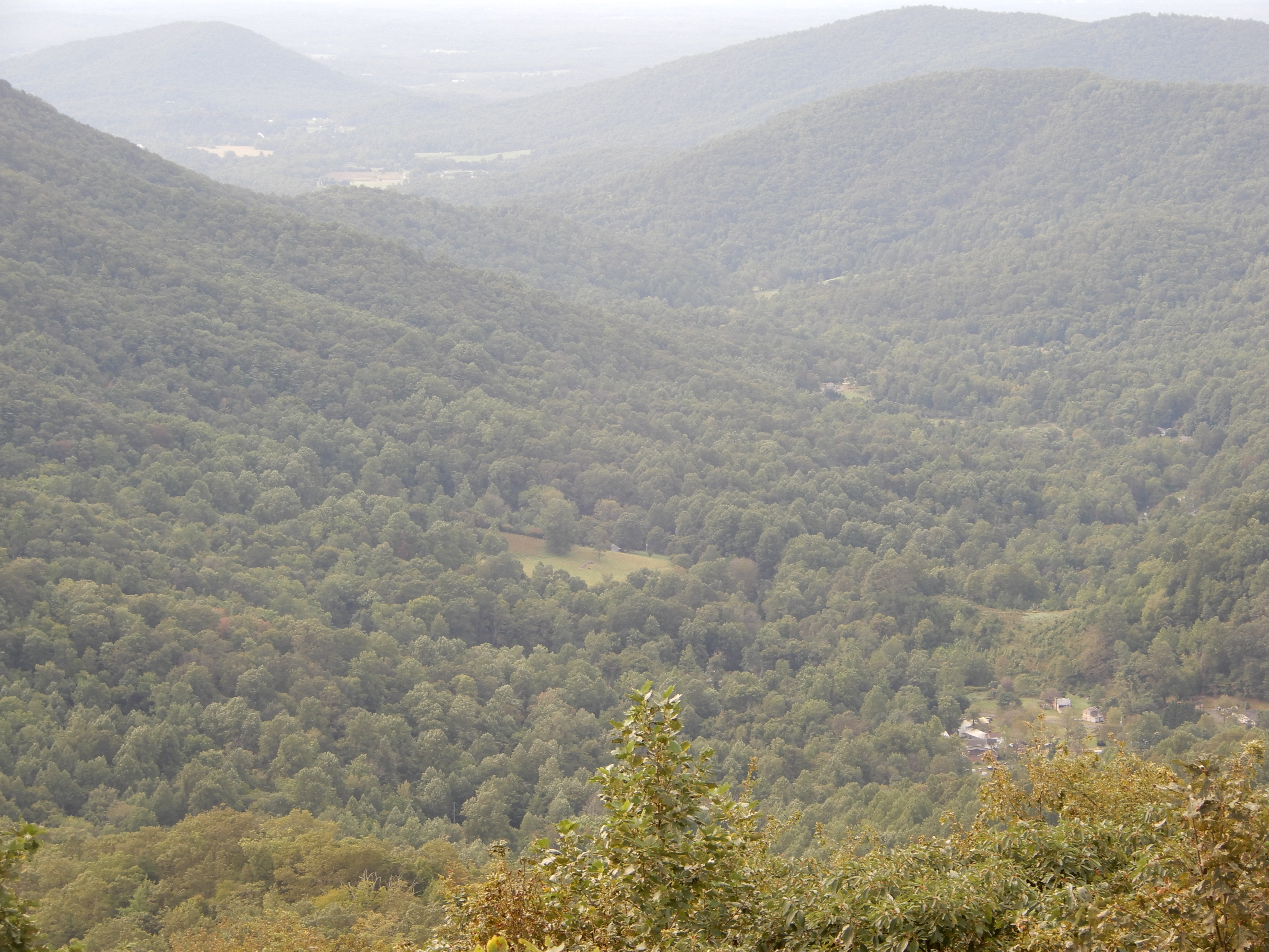

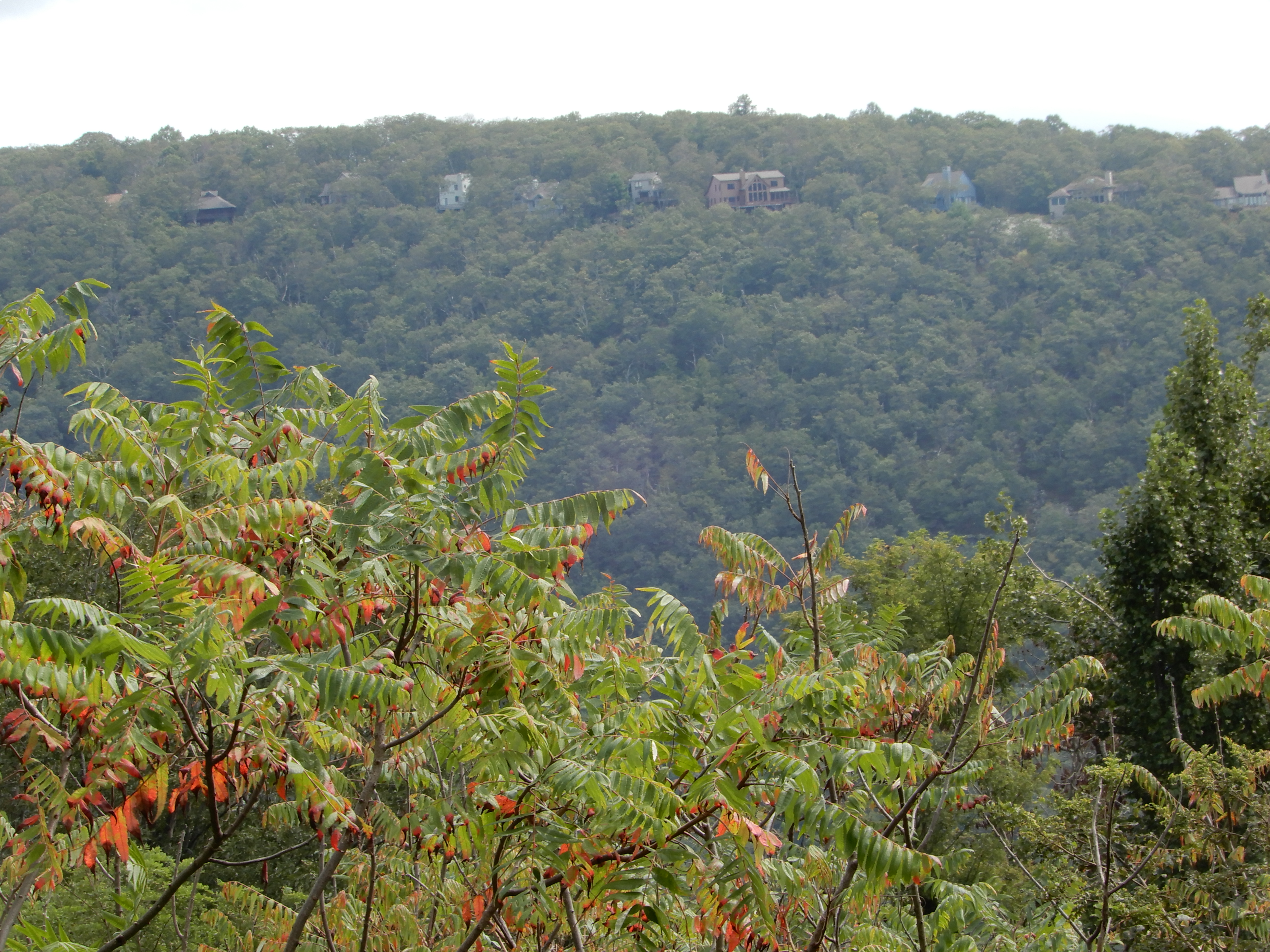
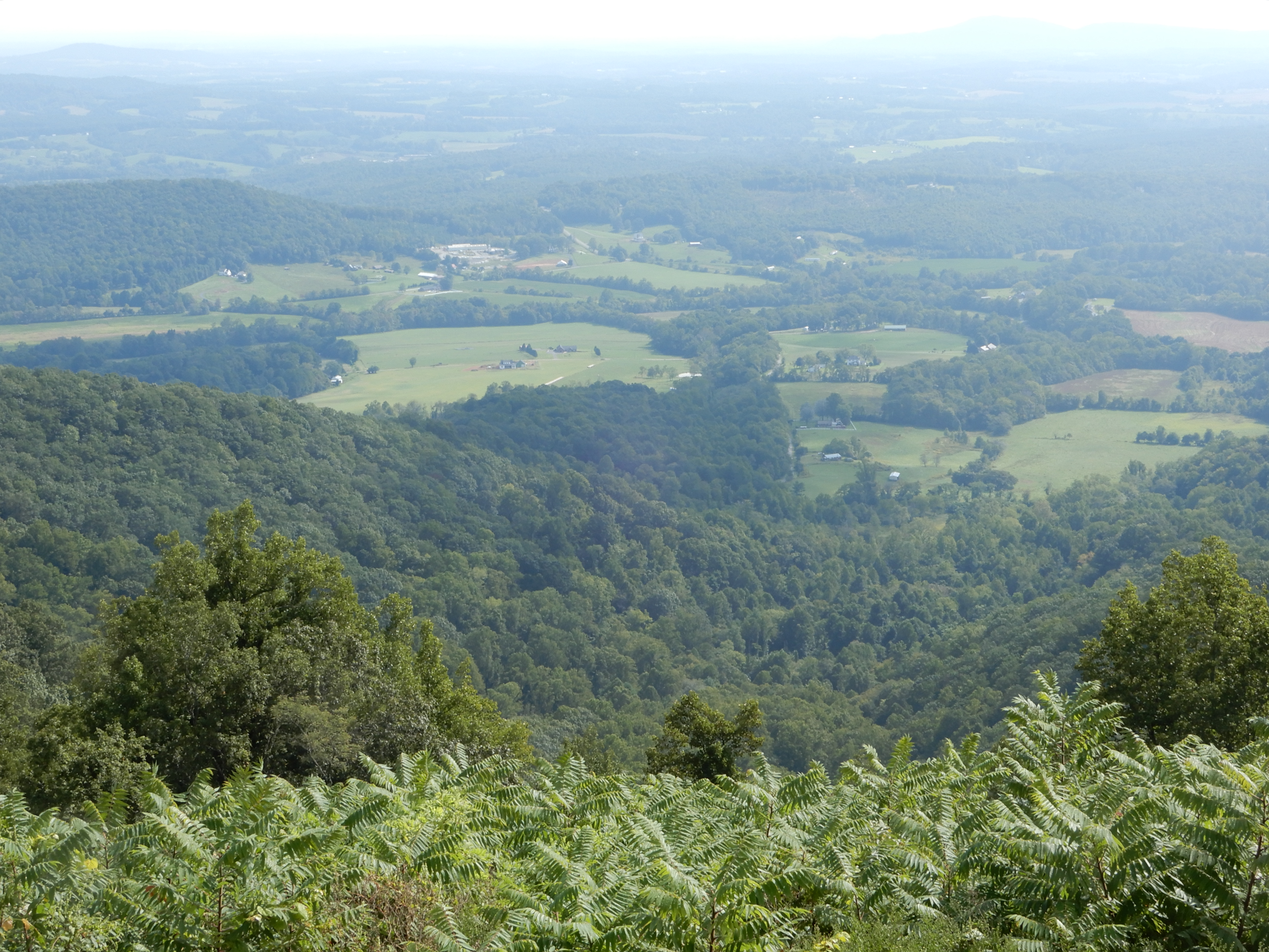
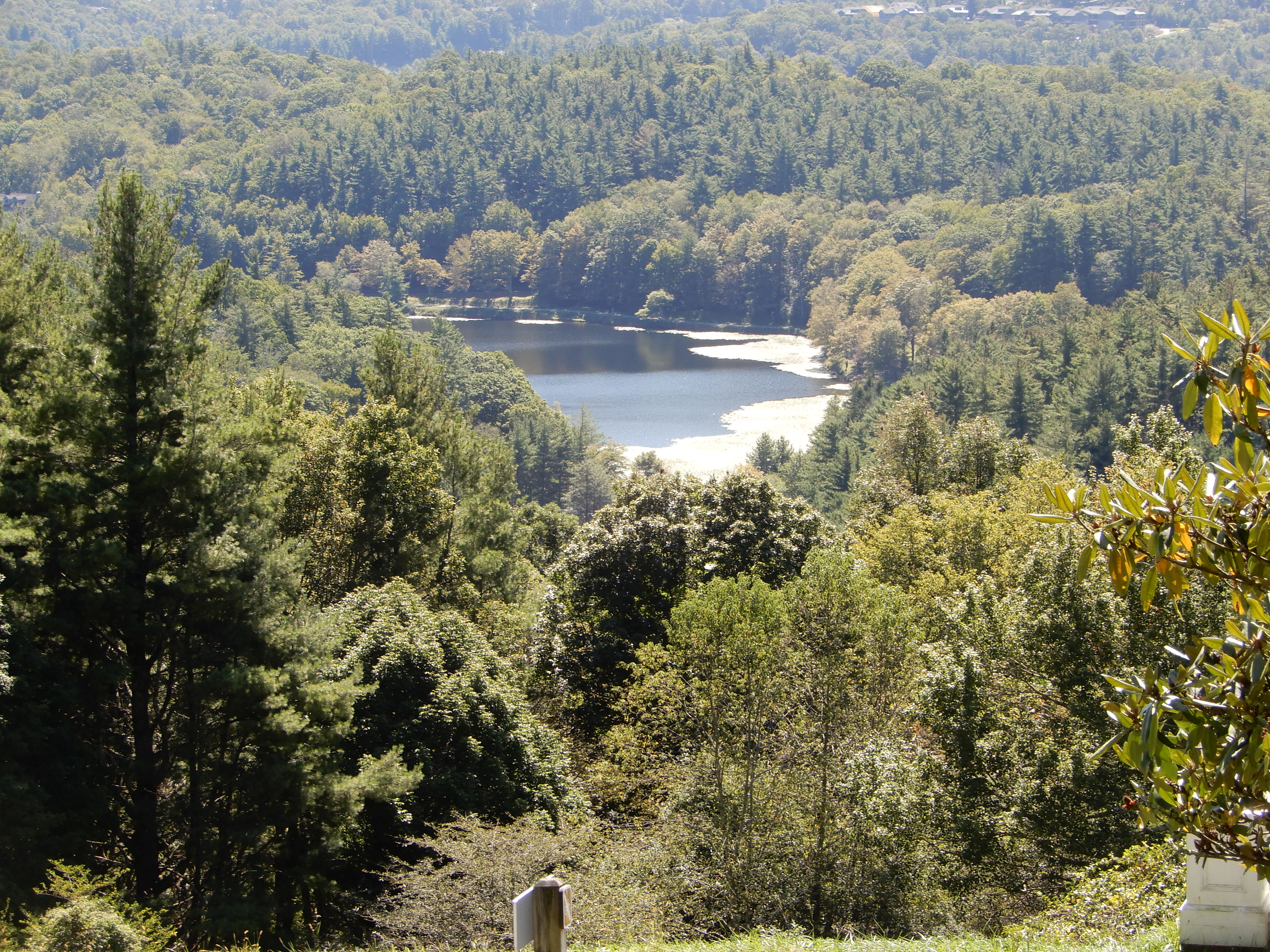
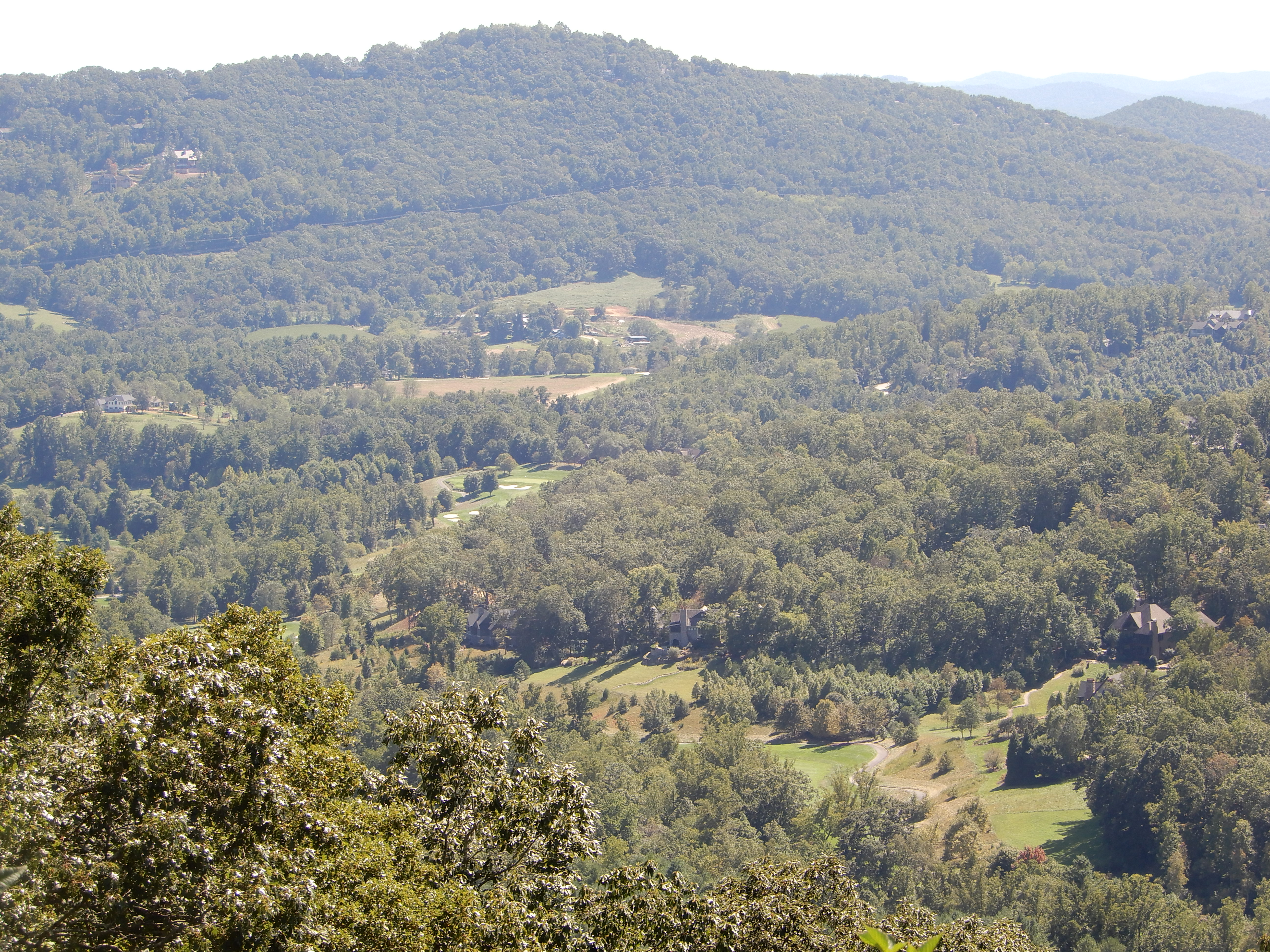
I like this photo. You can see how homes have been carved right into the mountainside.
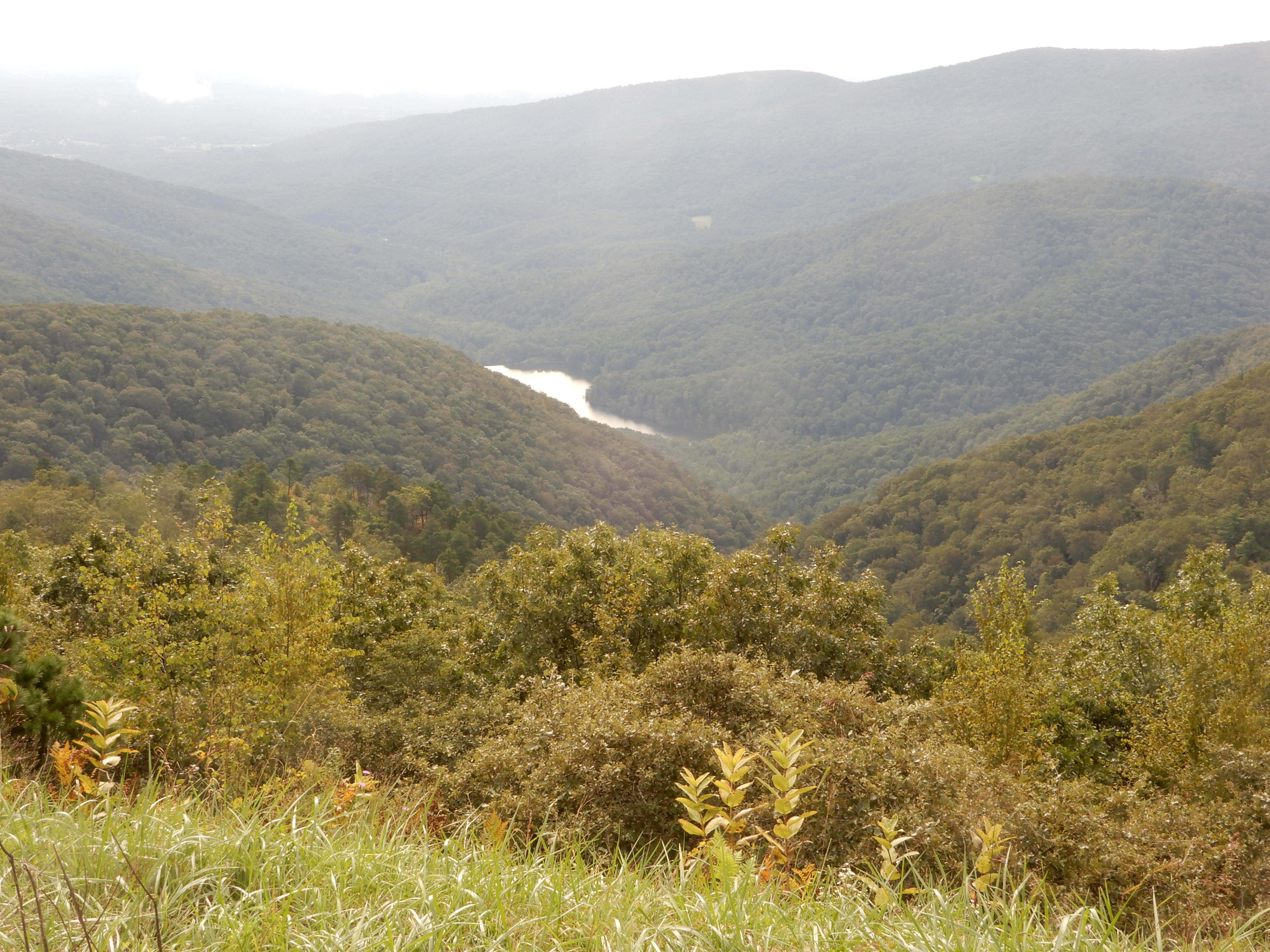
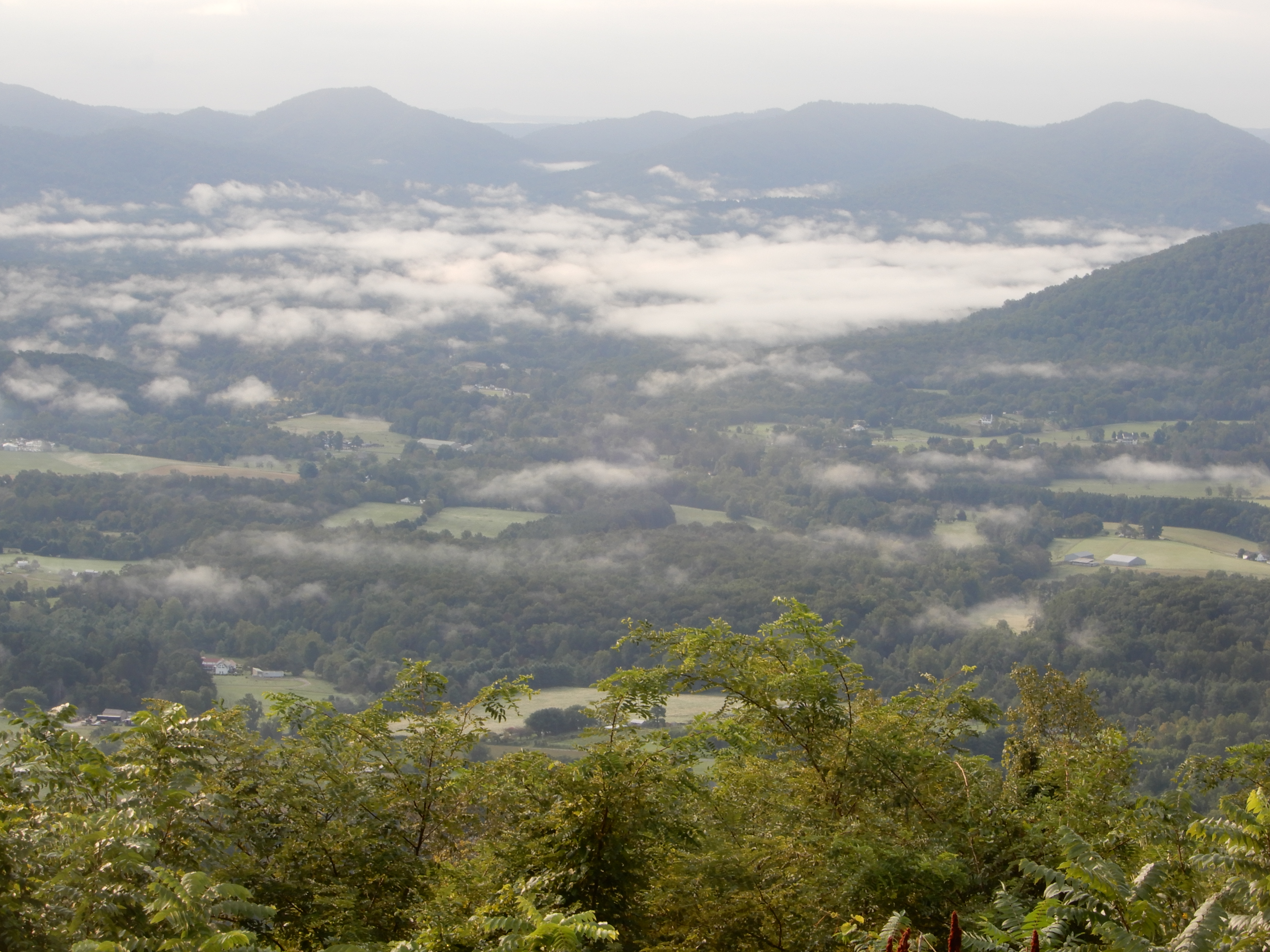
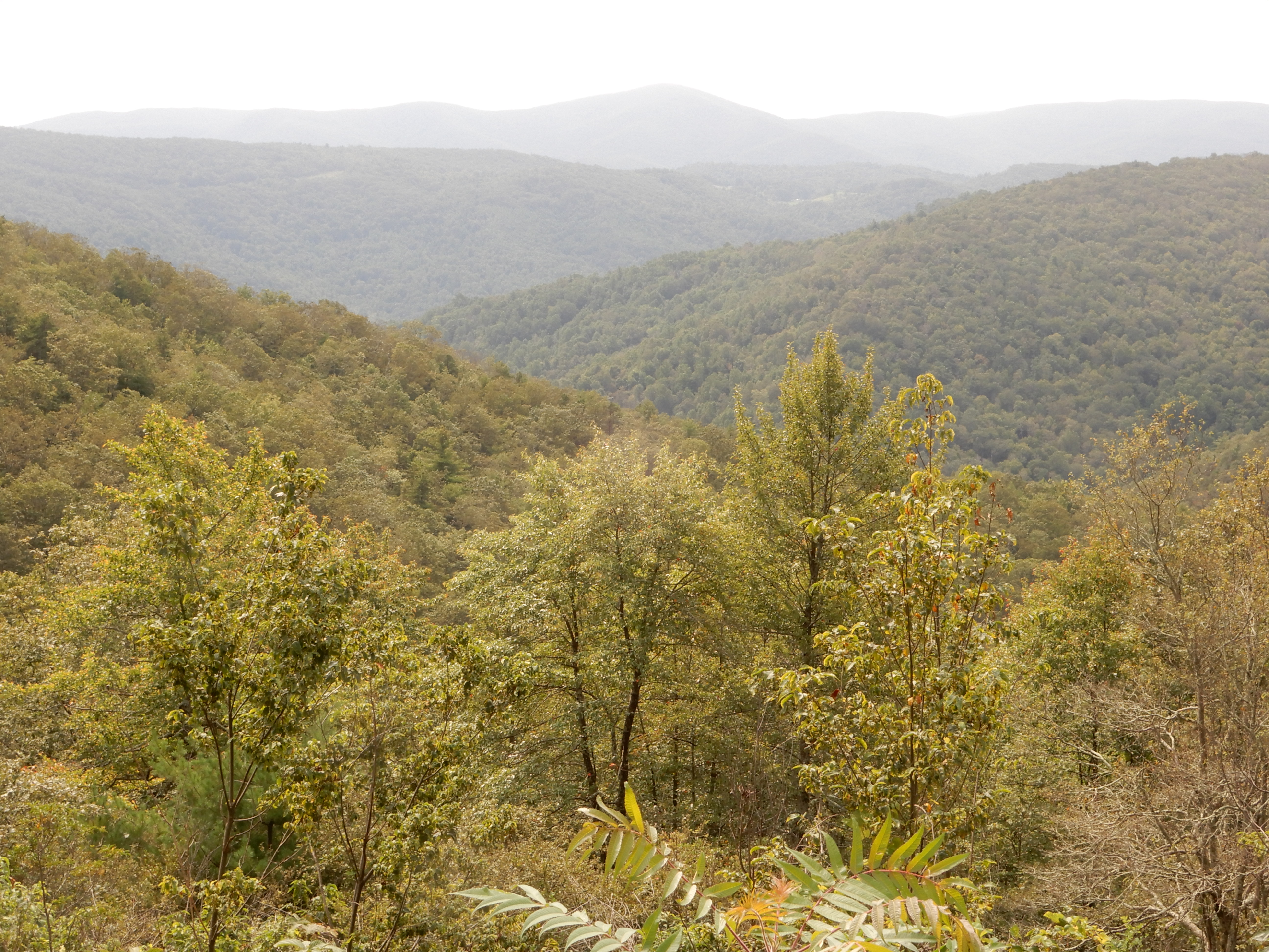
In this one you can see a small lake below.
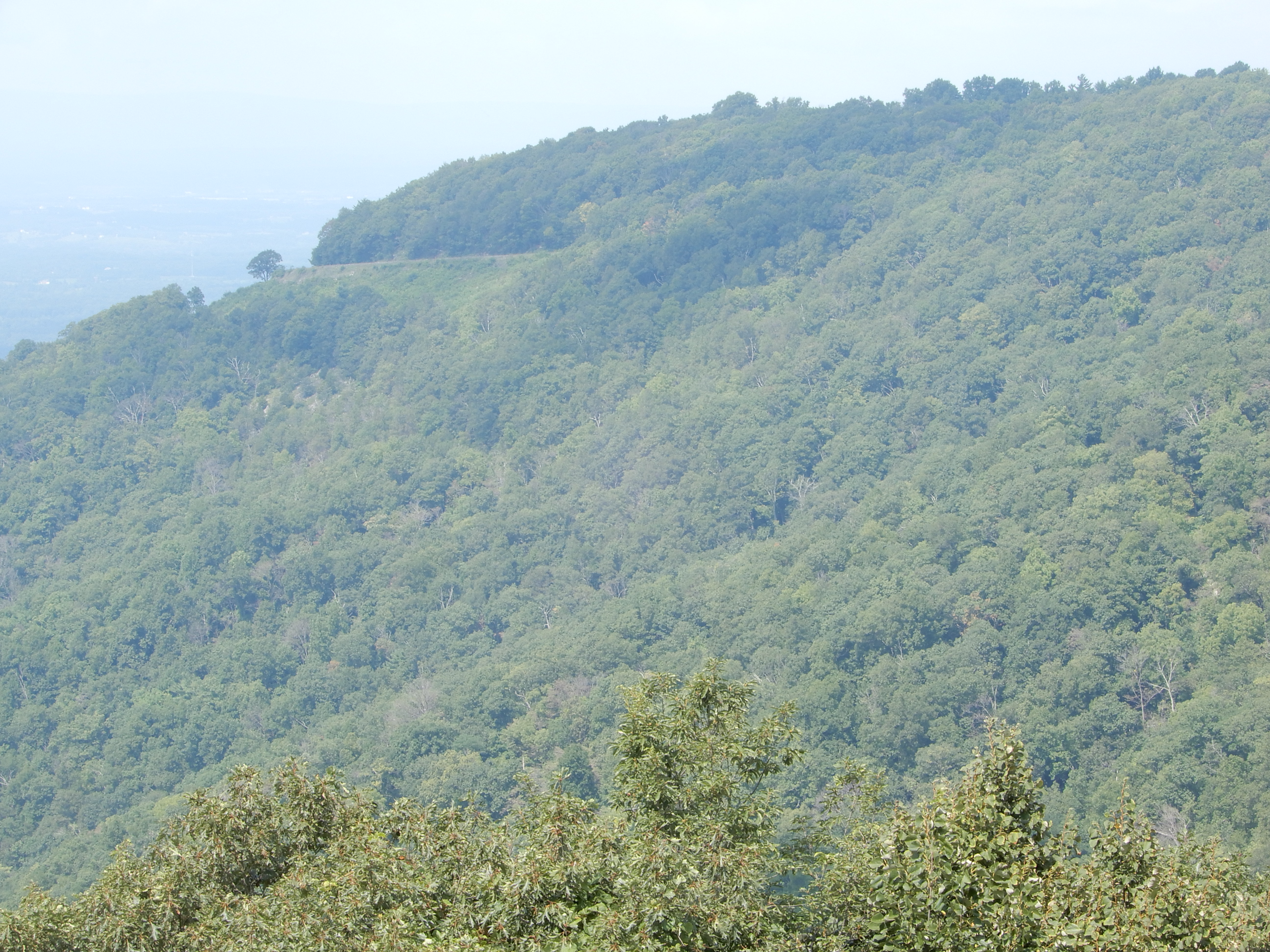
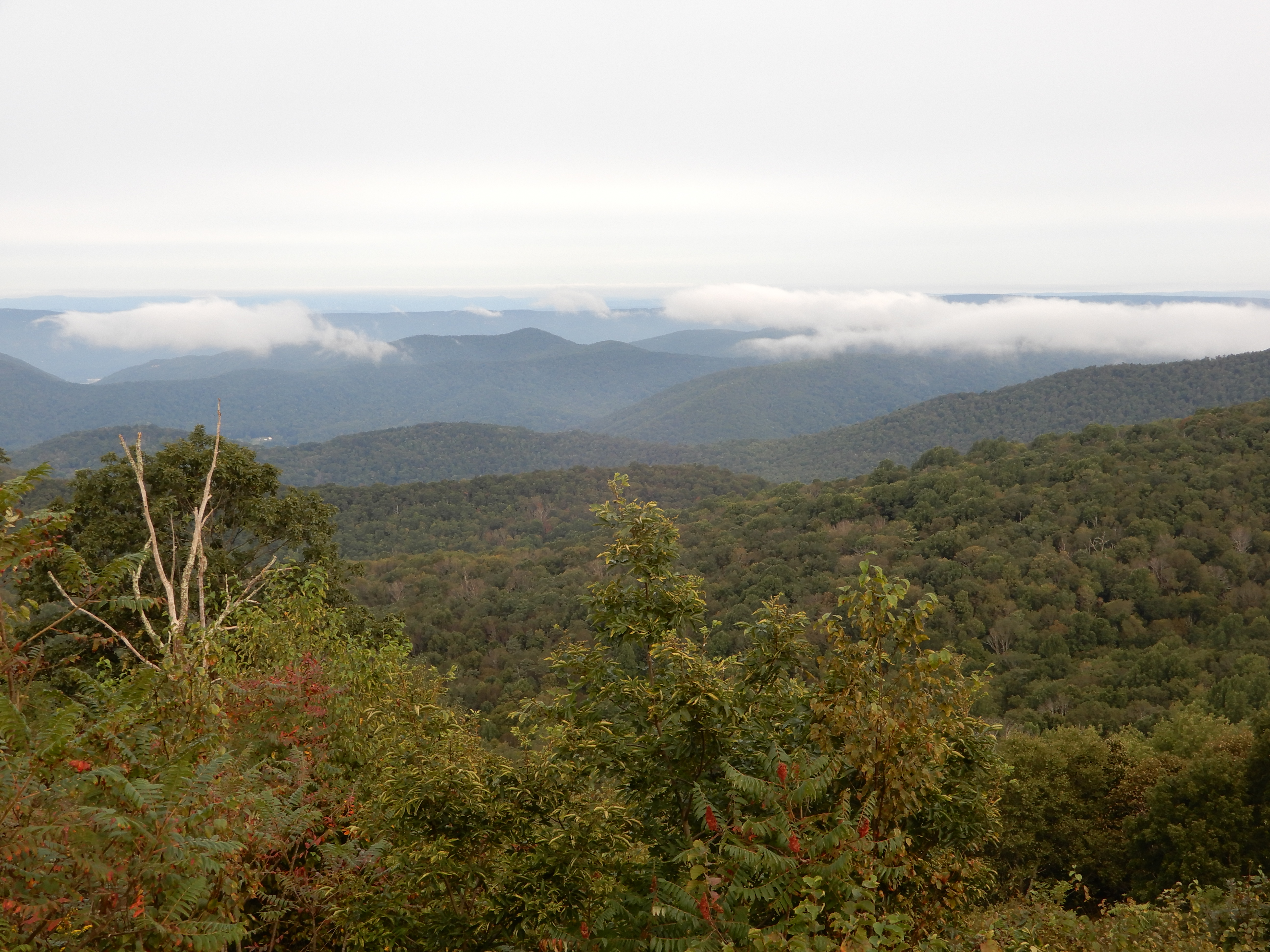
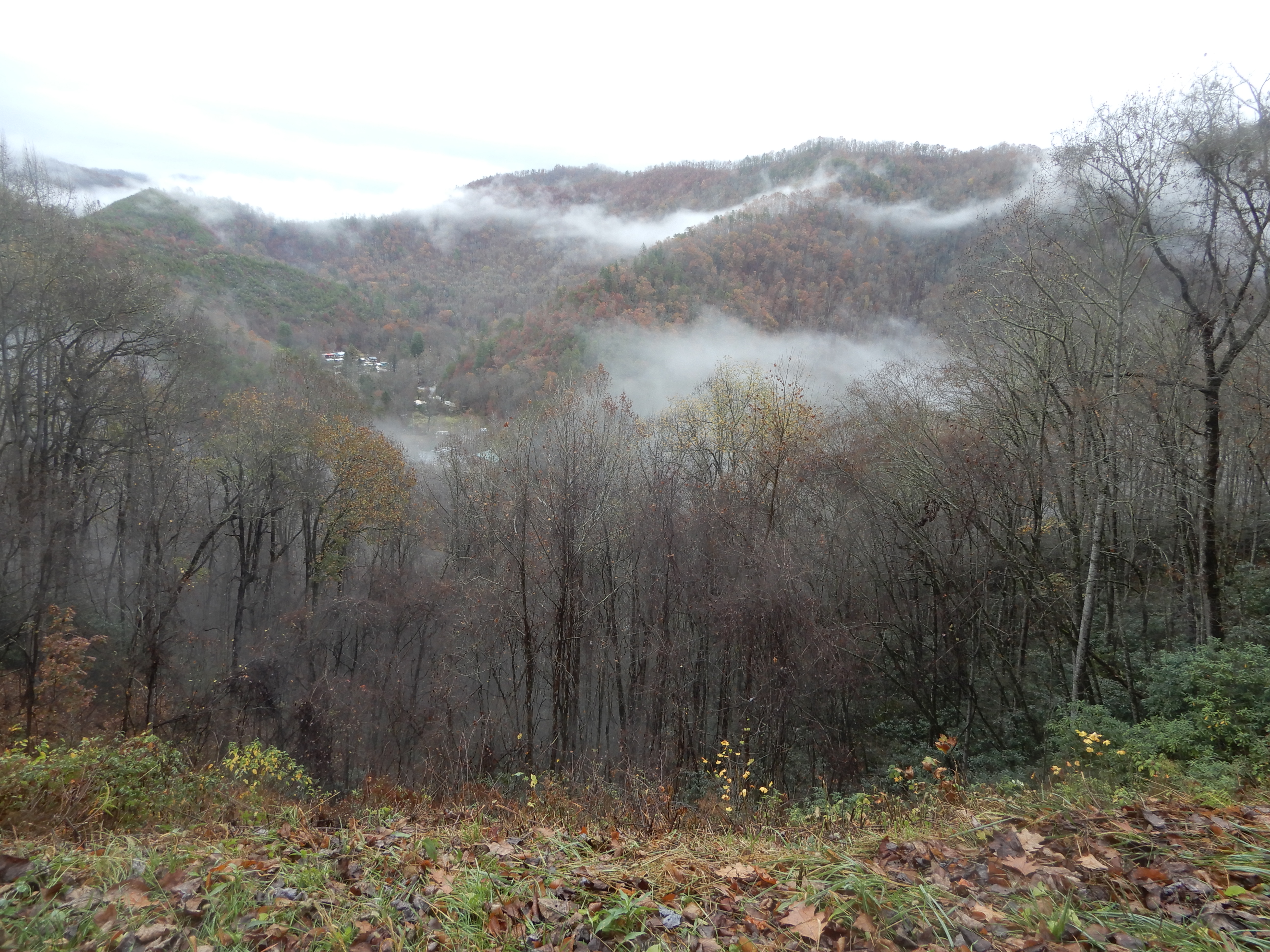
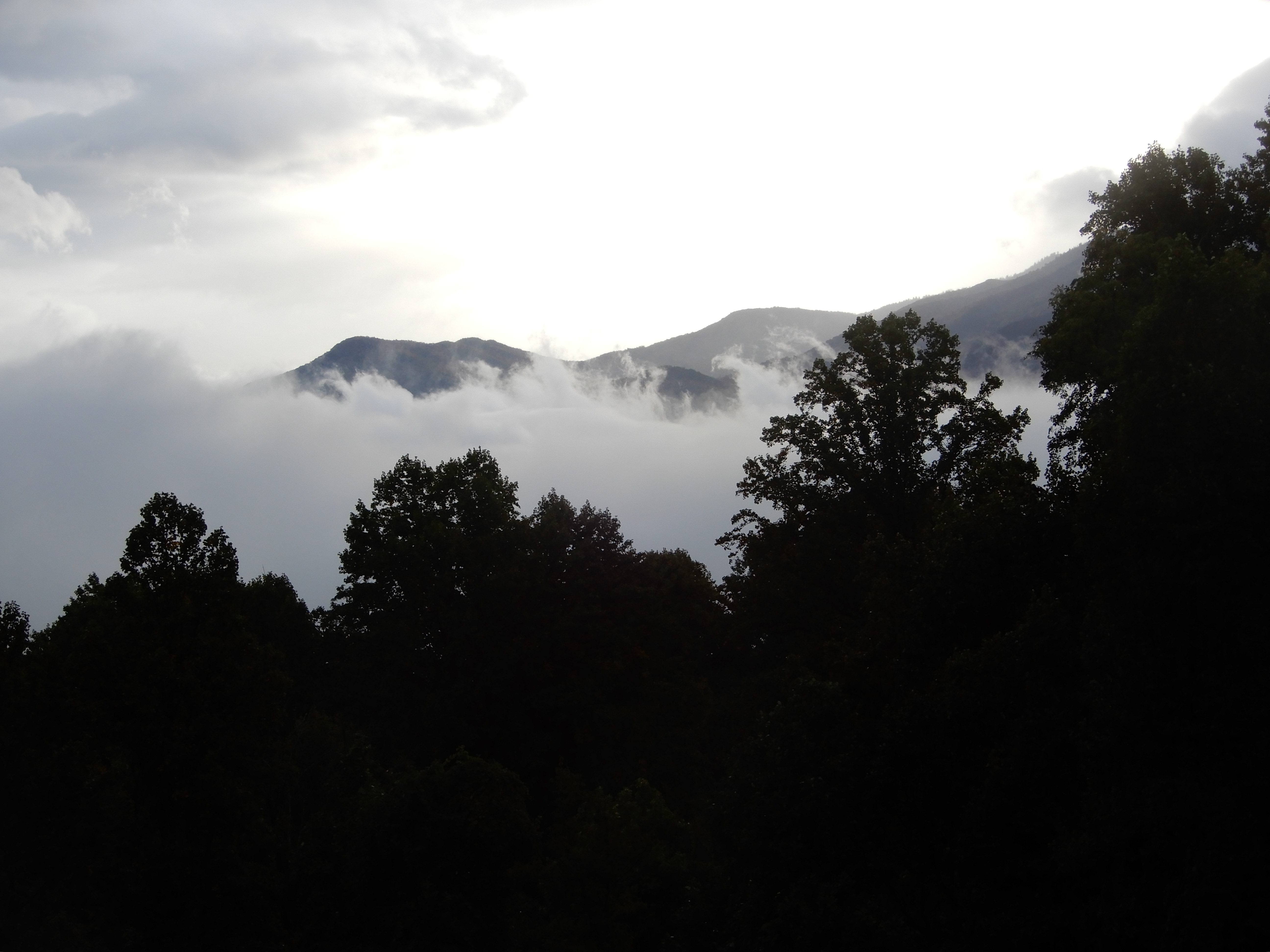
Later in the day the fog moved back in.
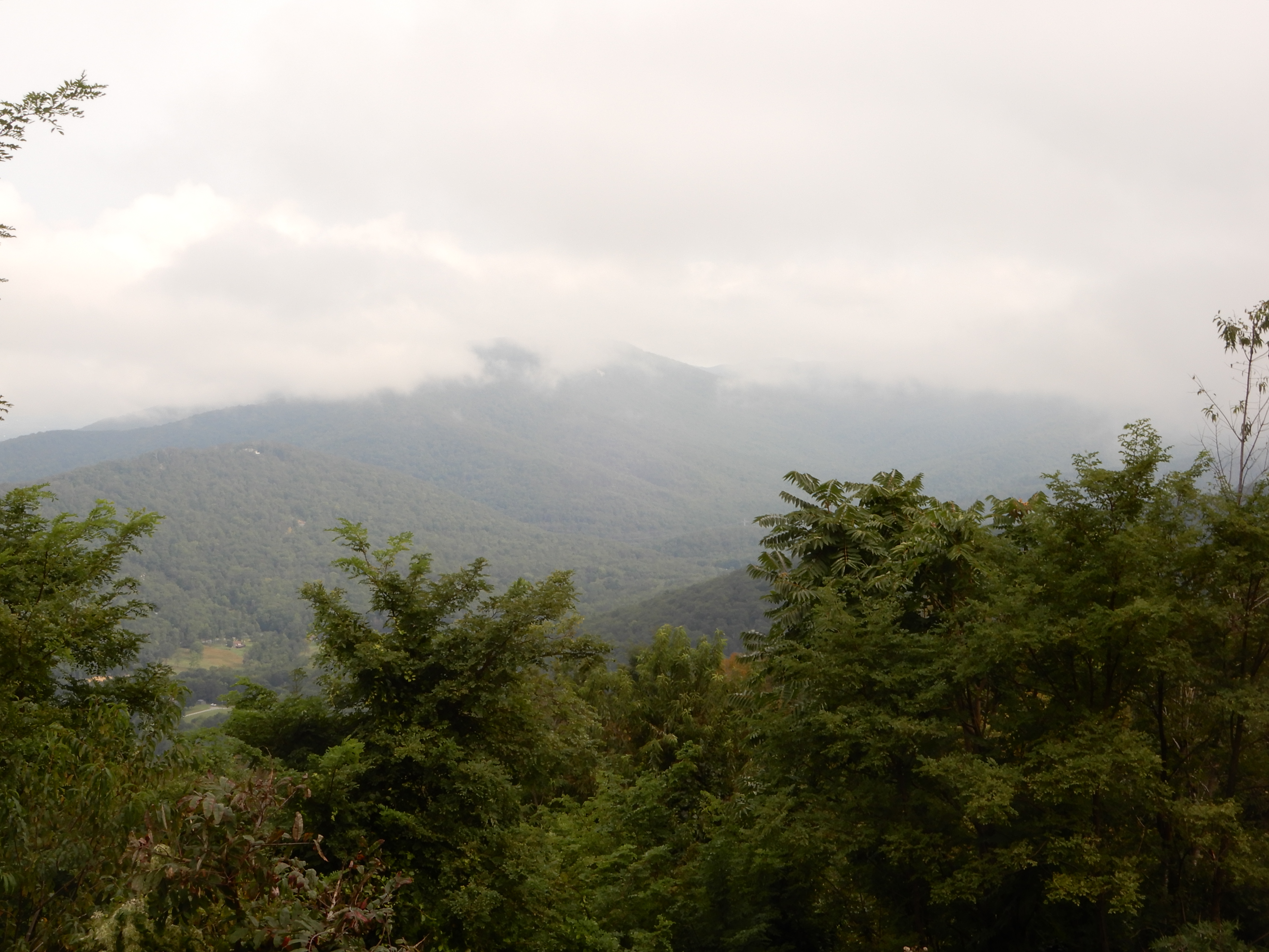
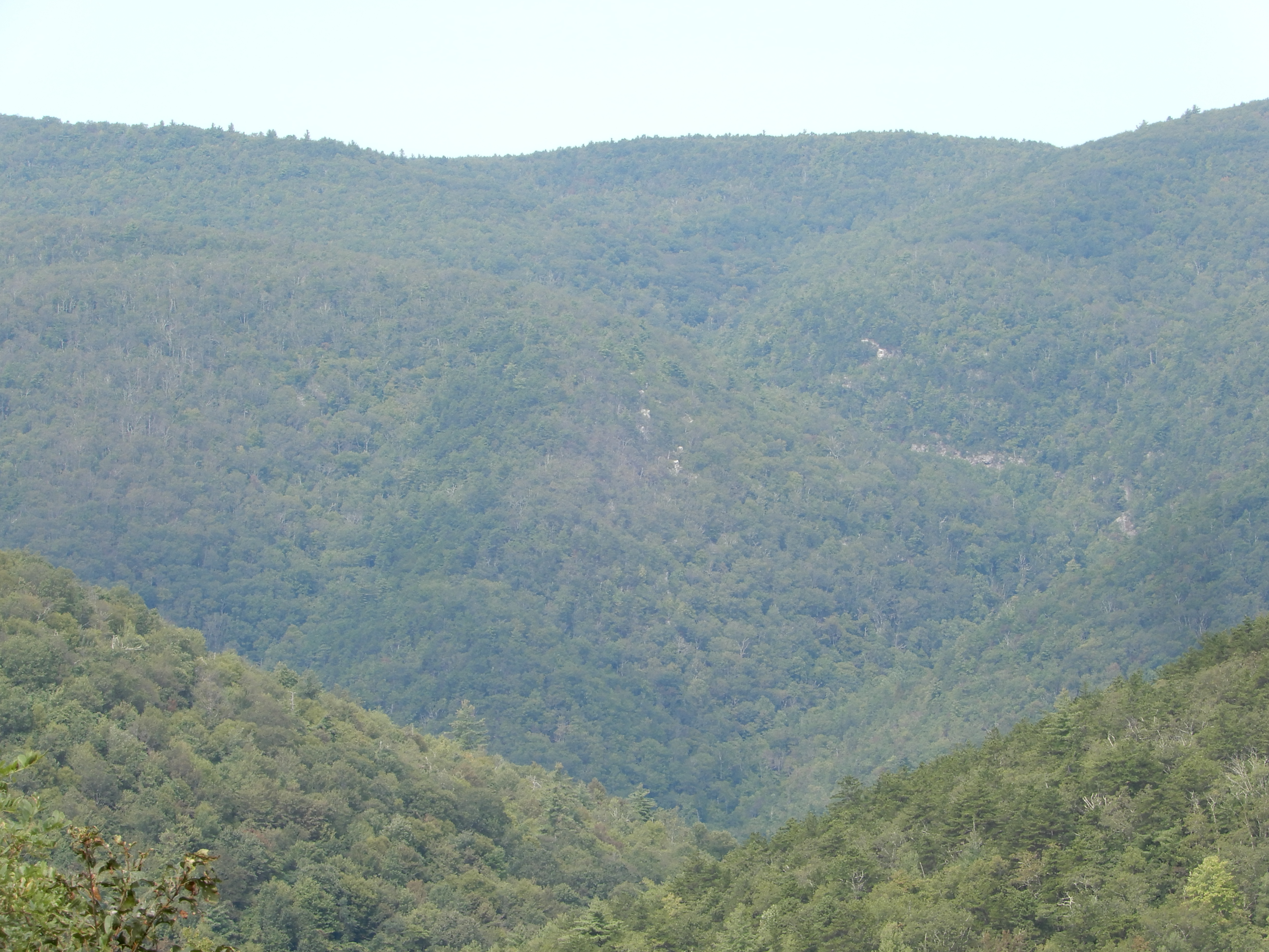
The clouds had settled really low in this valley.
We drove down off Skyline Drive and out of Shenandoah NP into Wanyesboro, where we treated ourselves to lunch at McDonalds. We set up in a private campground with hook-ups and WiFi, so I got caught up with my emails and everything else.
American Locations 7: Starting the Blue Ridge Parkway
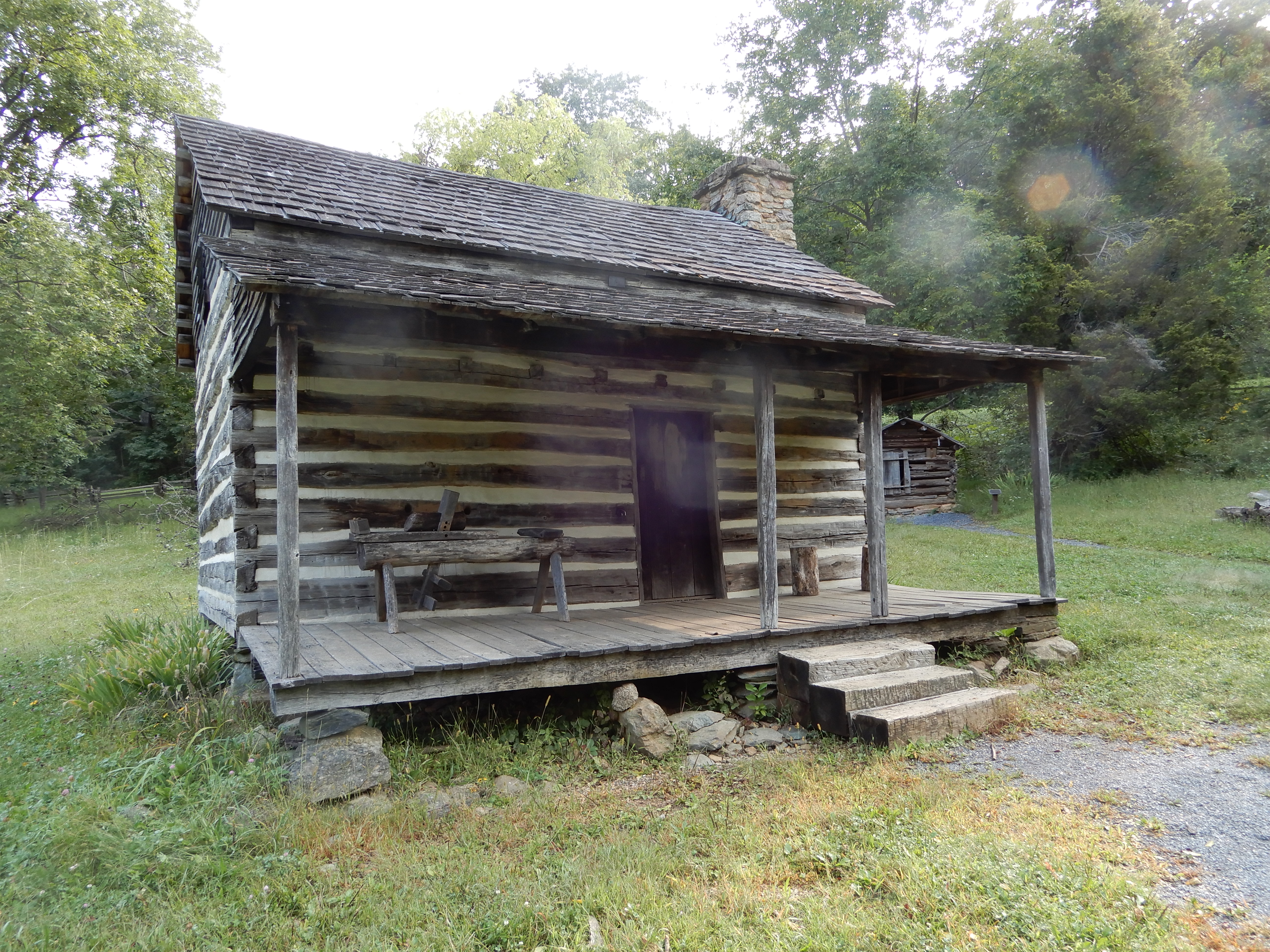
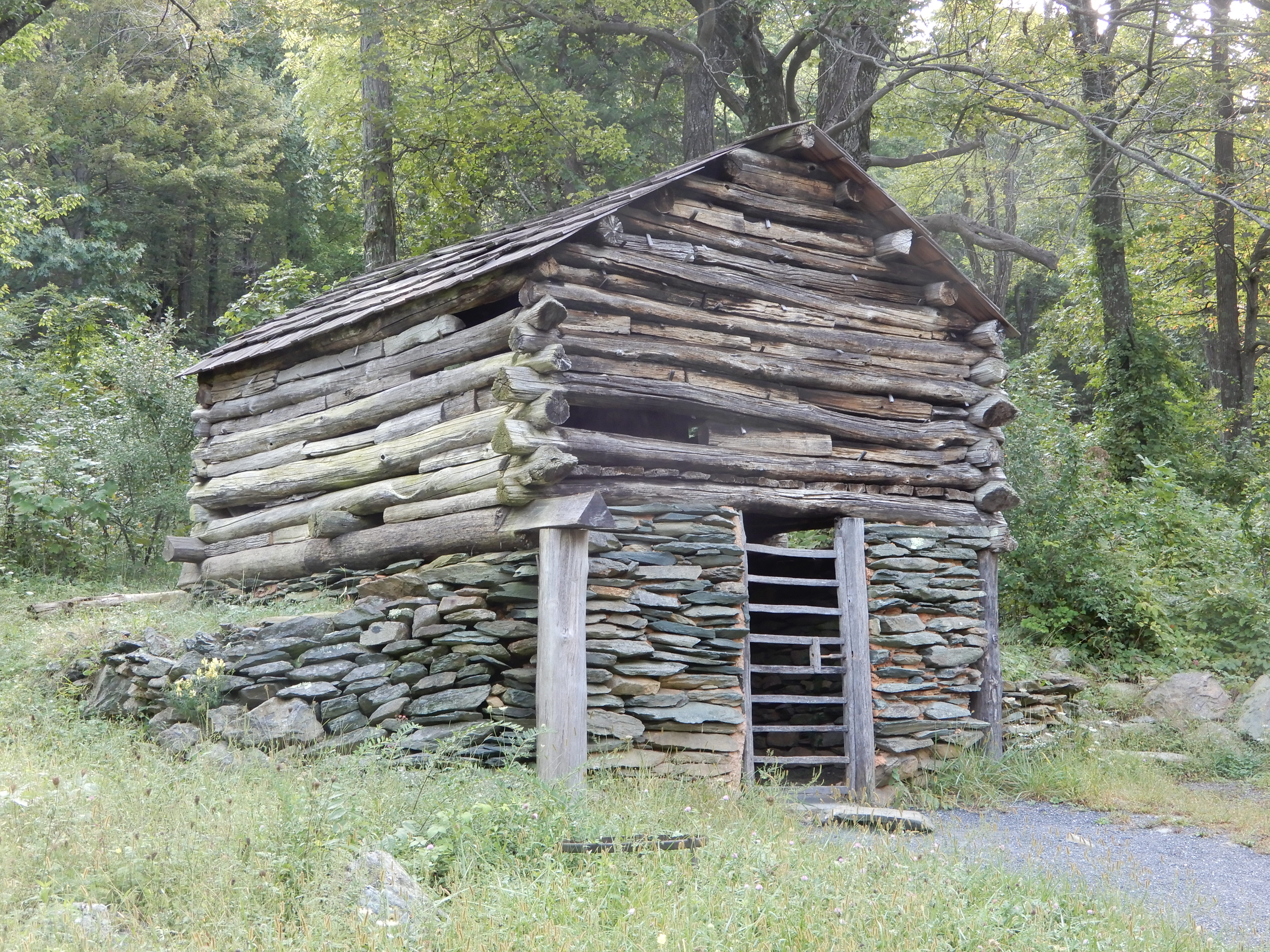
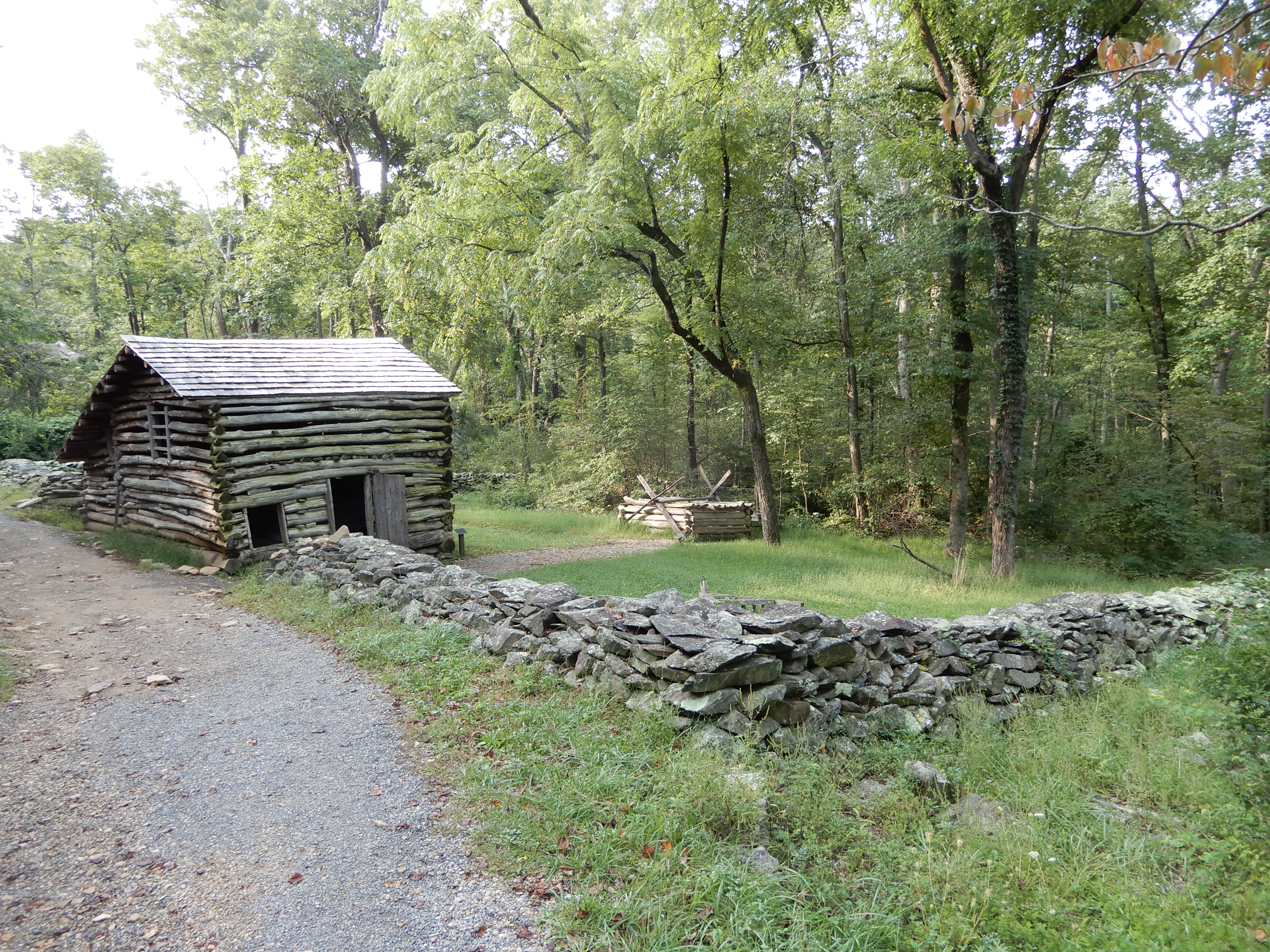
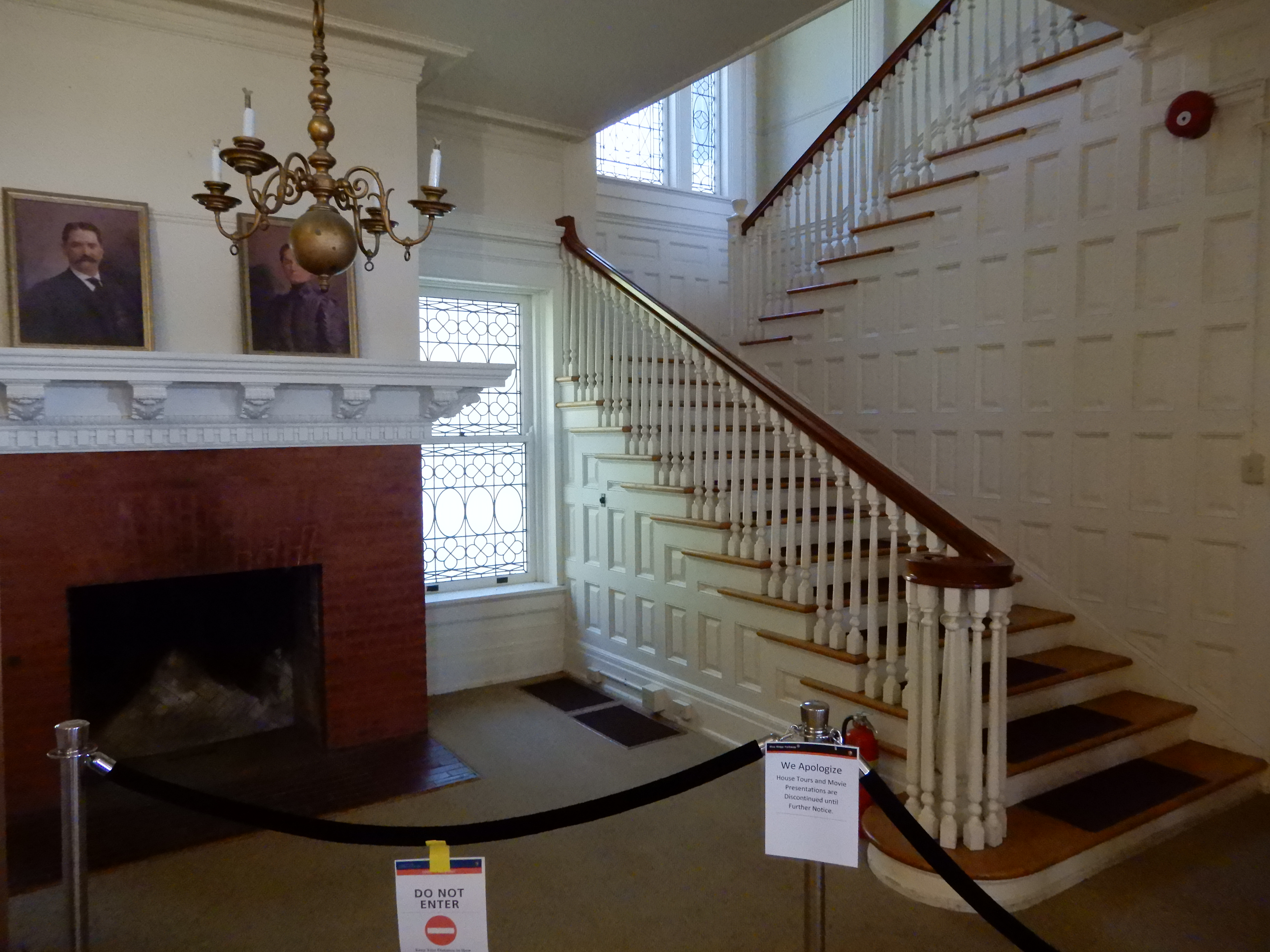
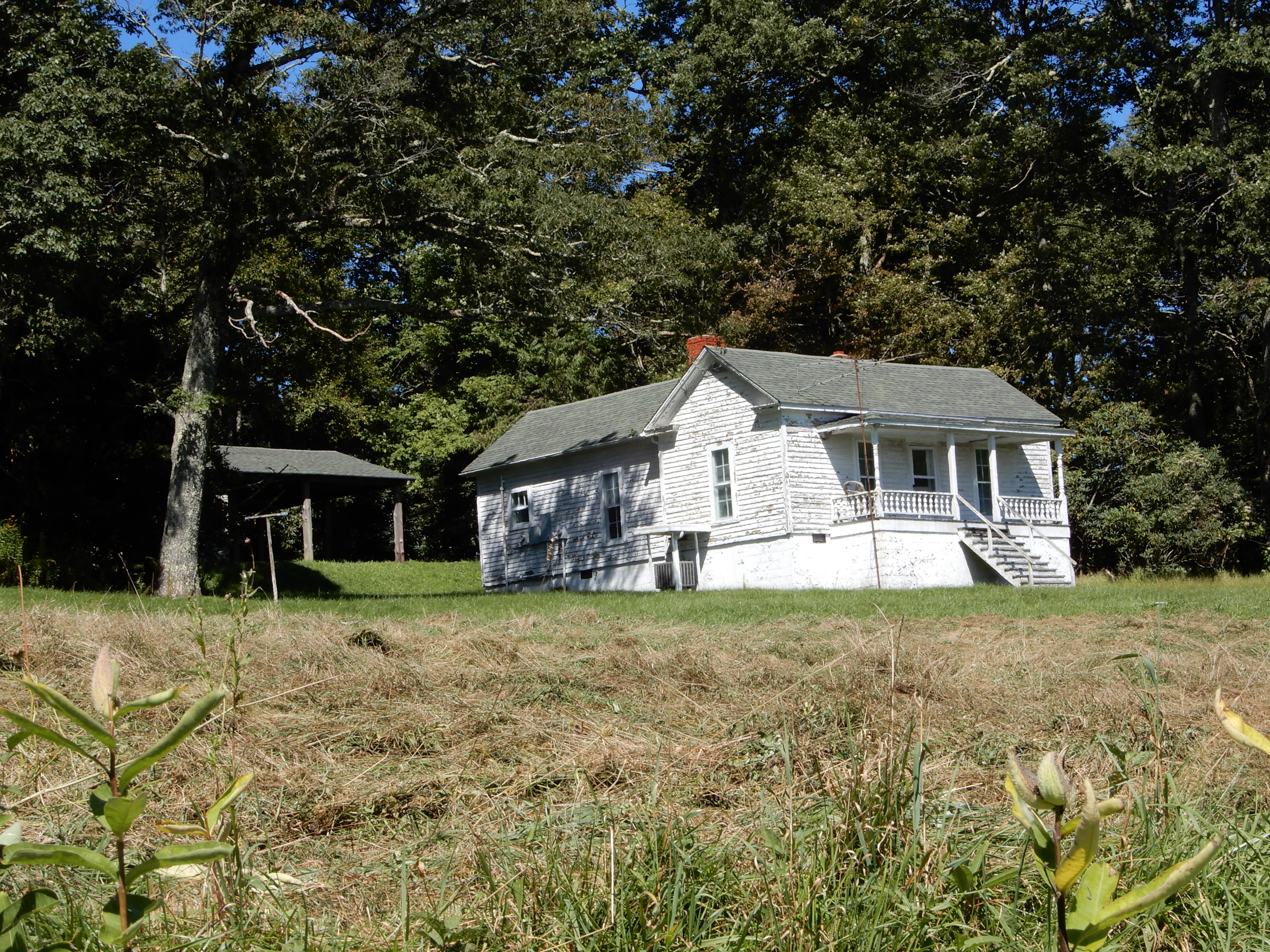
We got a late start in the morning. We drove out of Waynesboro onto the northern end of the Blue Ridge Parkway. At MM5 we stopped to walk through the restored pioneer houses.
Driving on, we stopped to hike Humpback Rocks.
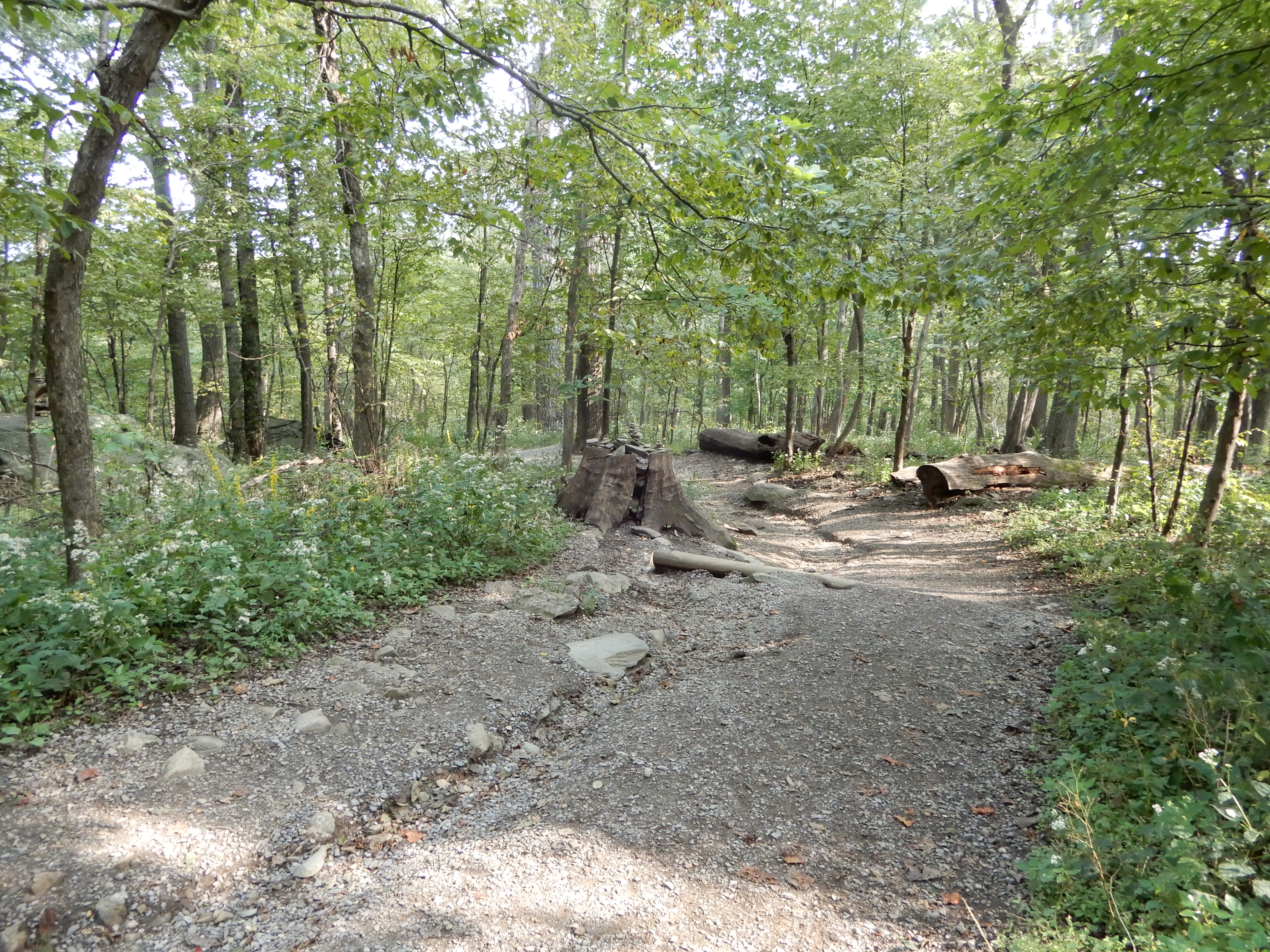
Connie gave up before half-way. It was too rough.
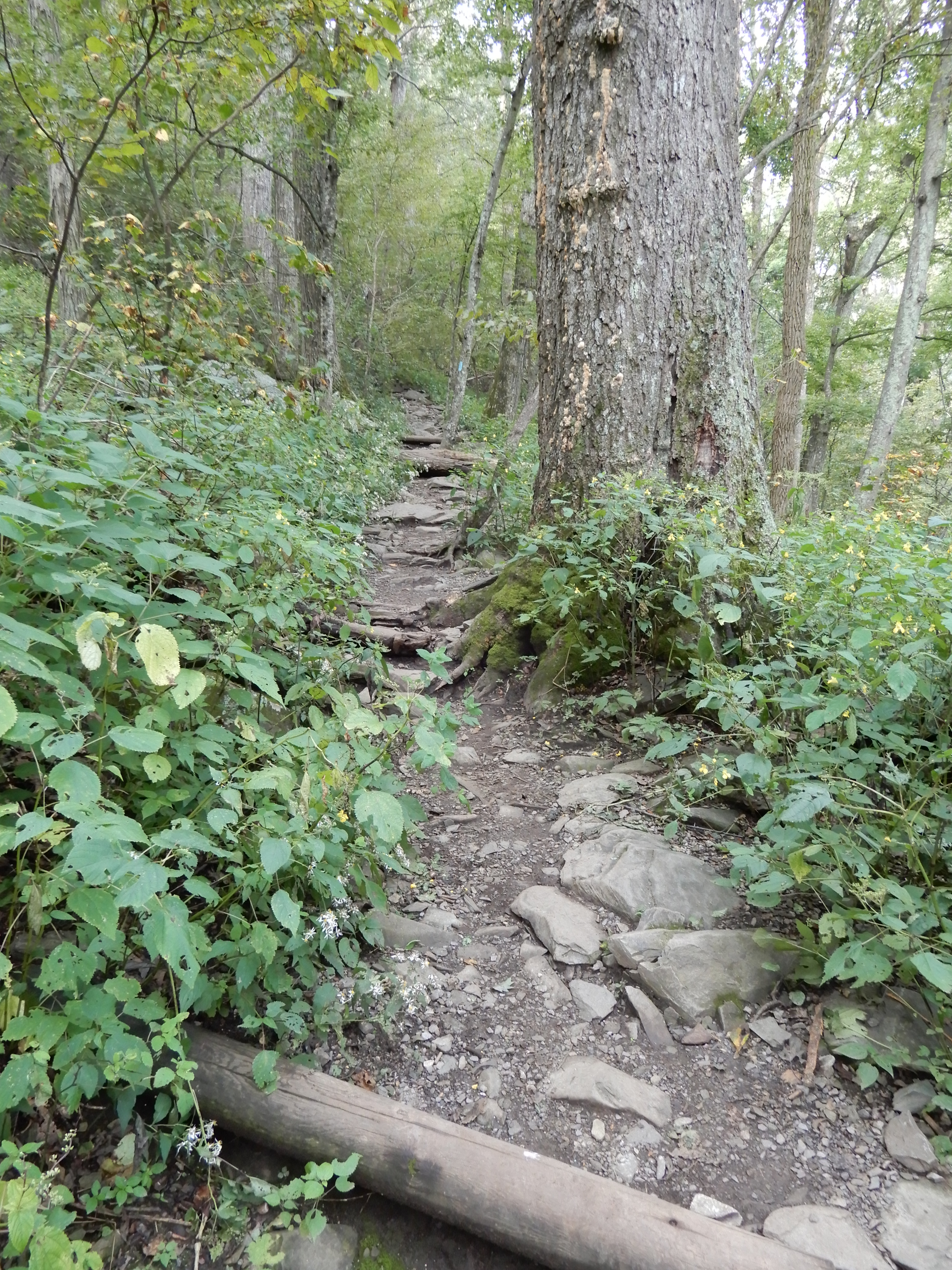
It got much rougher.
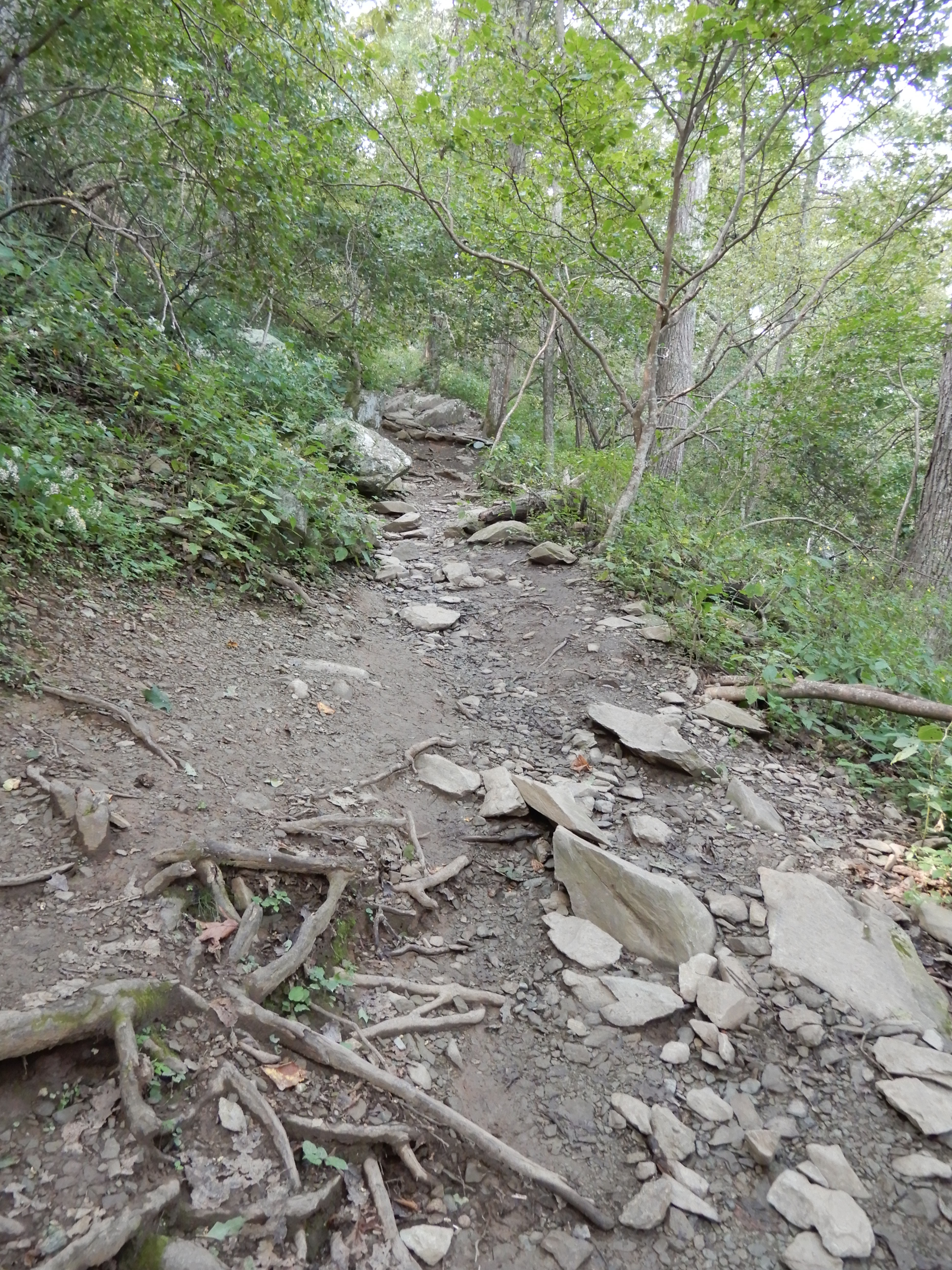
I was exhausted by the time I reached the top.
I didn’t quite make it to the very top, like that couple in the center left.
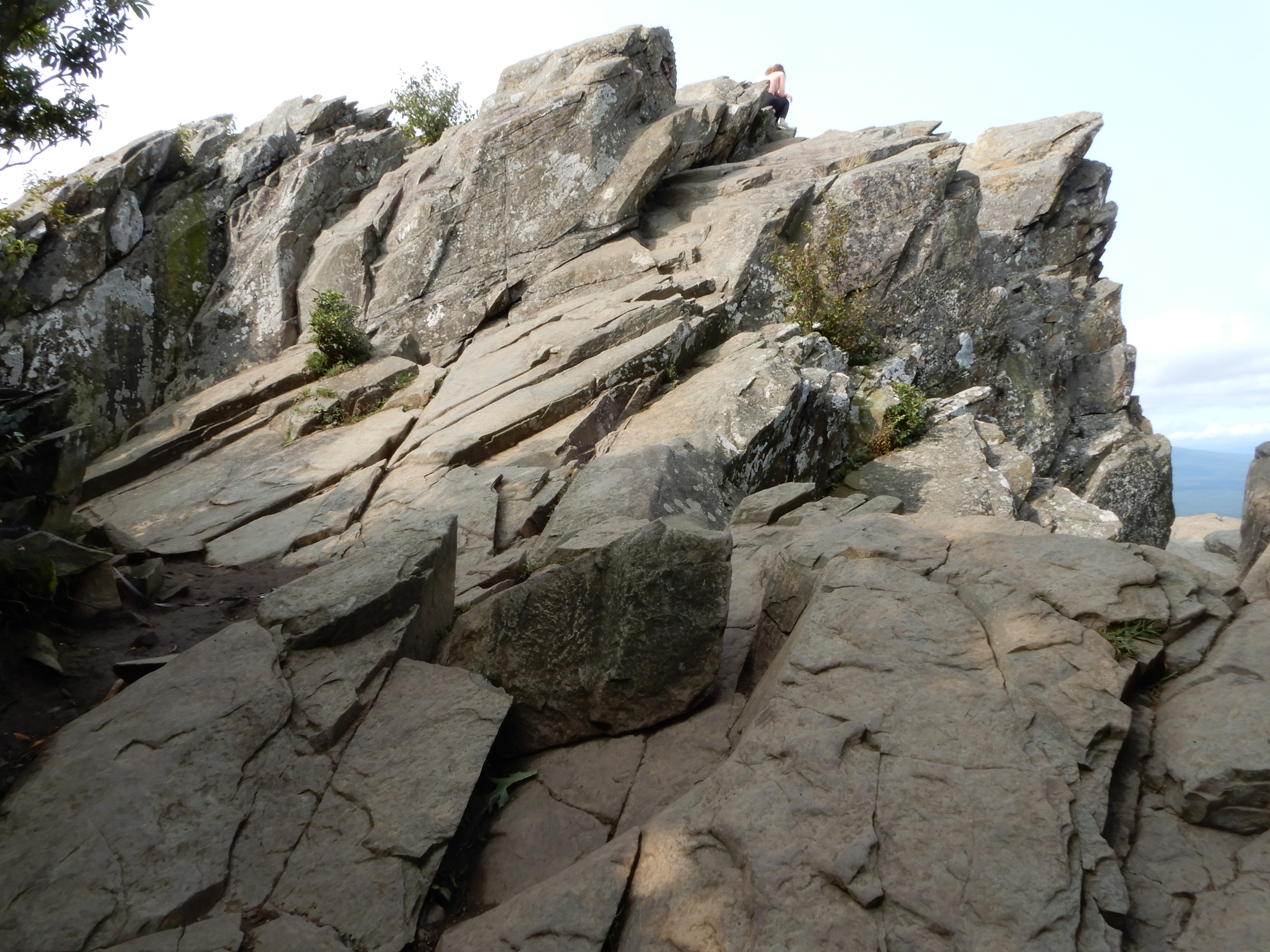
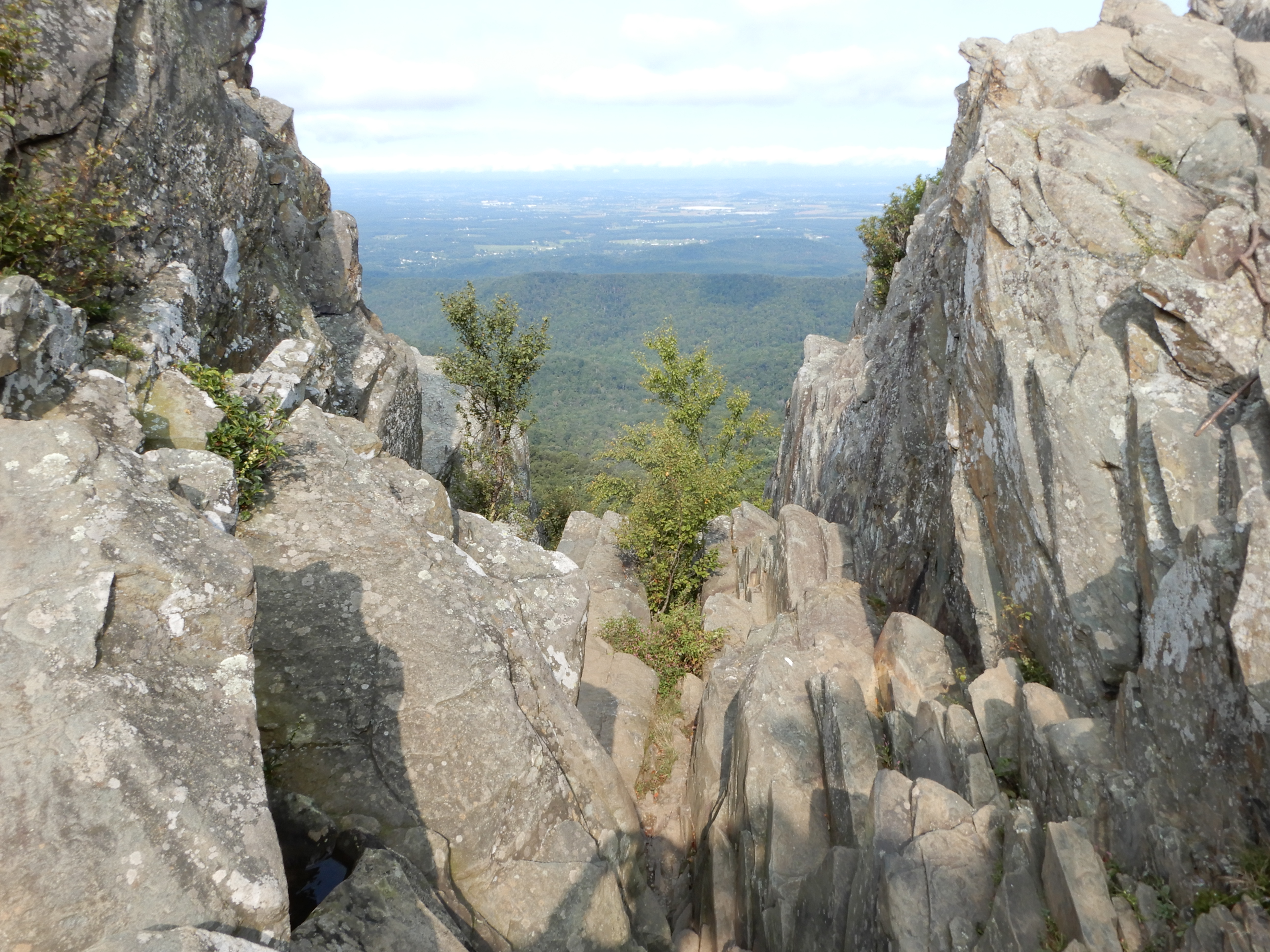
But I got close.
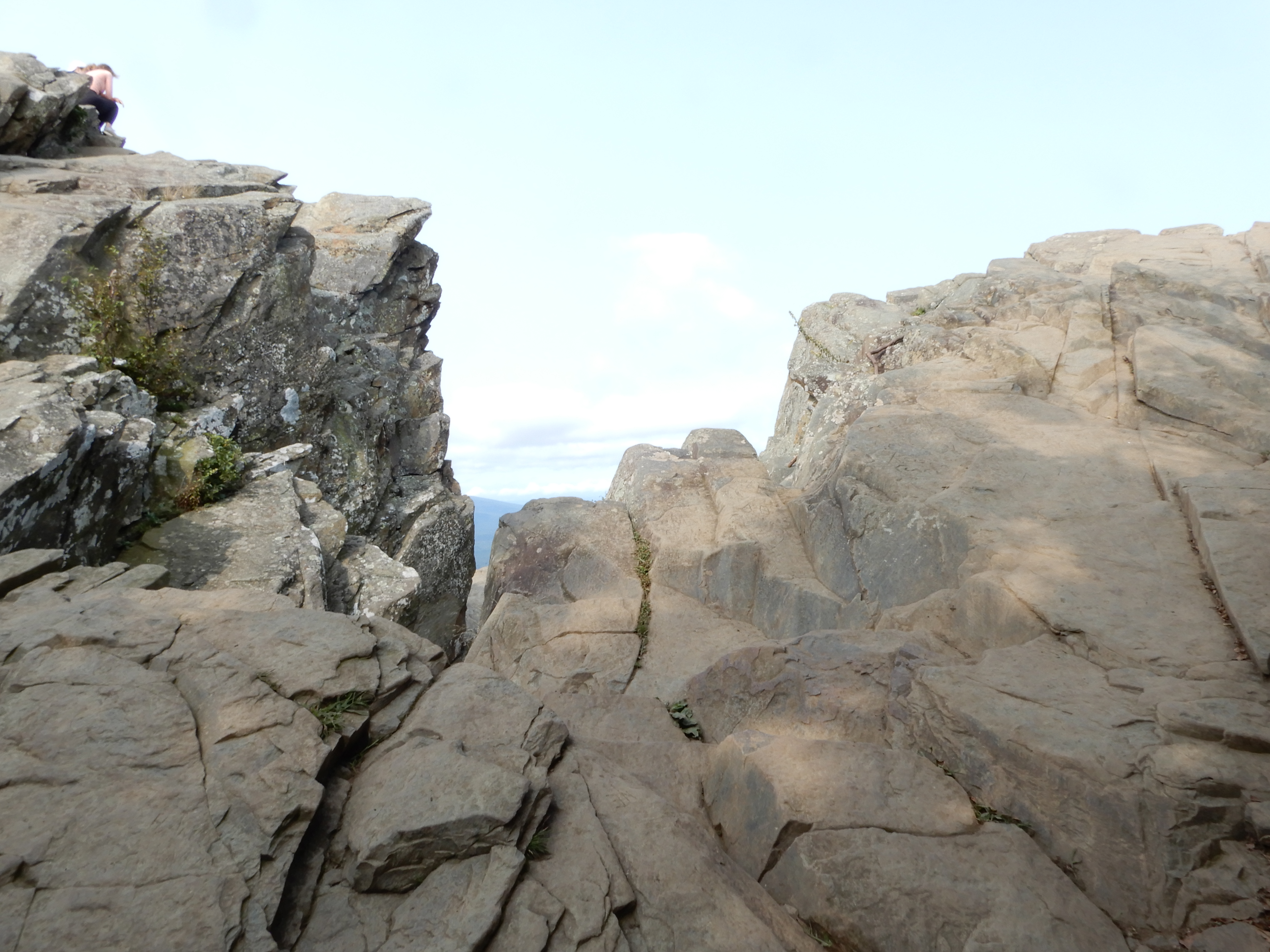
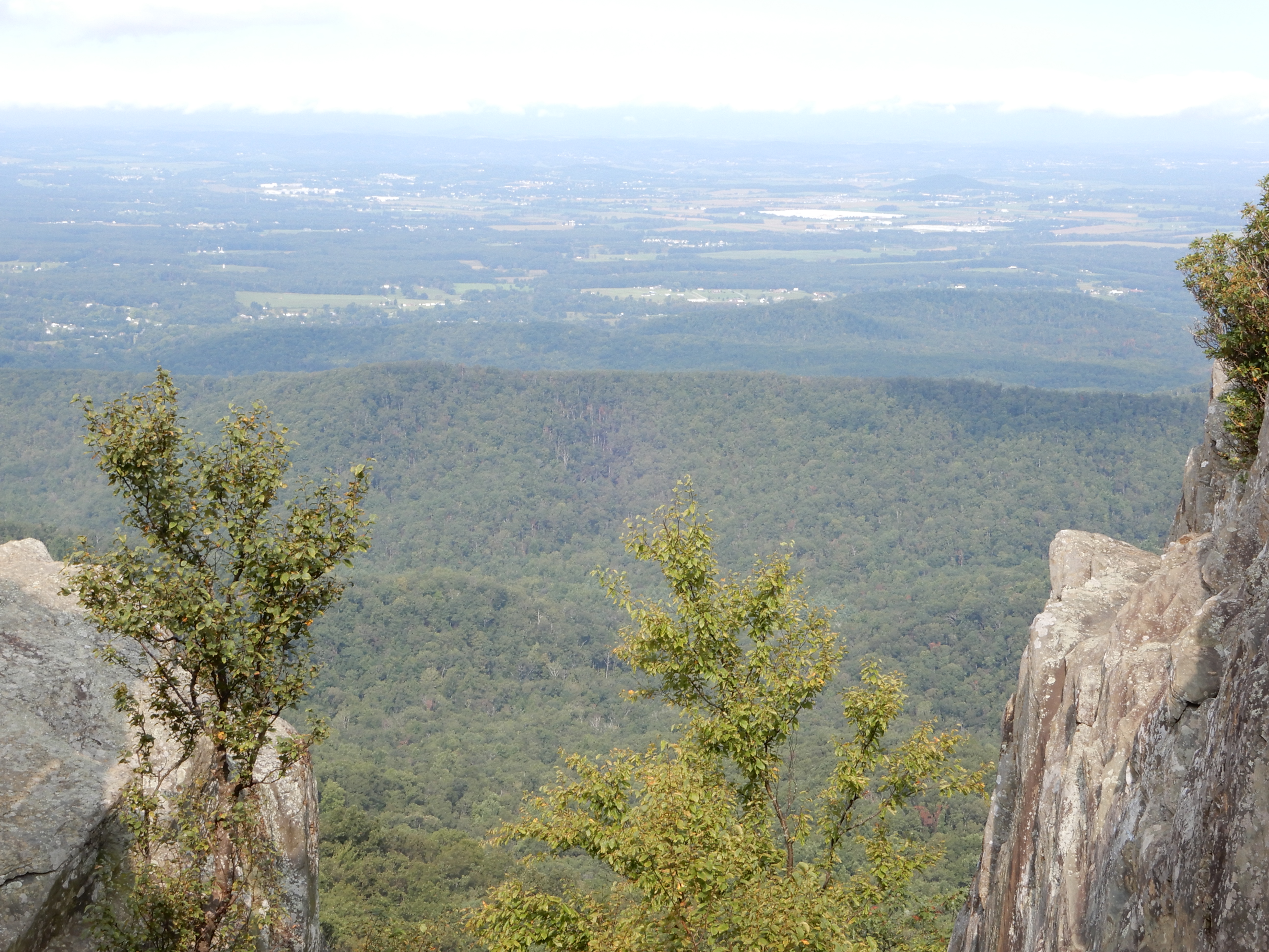
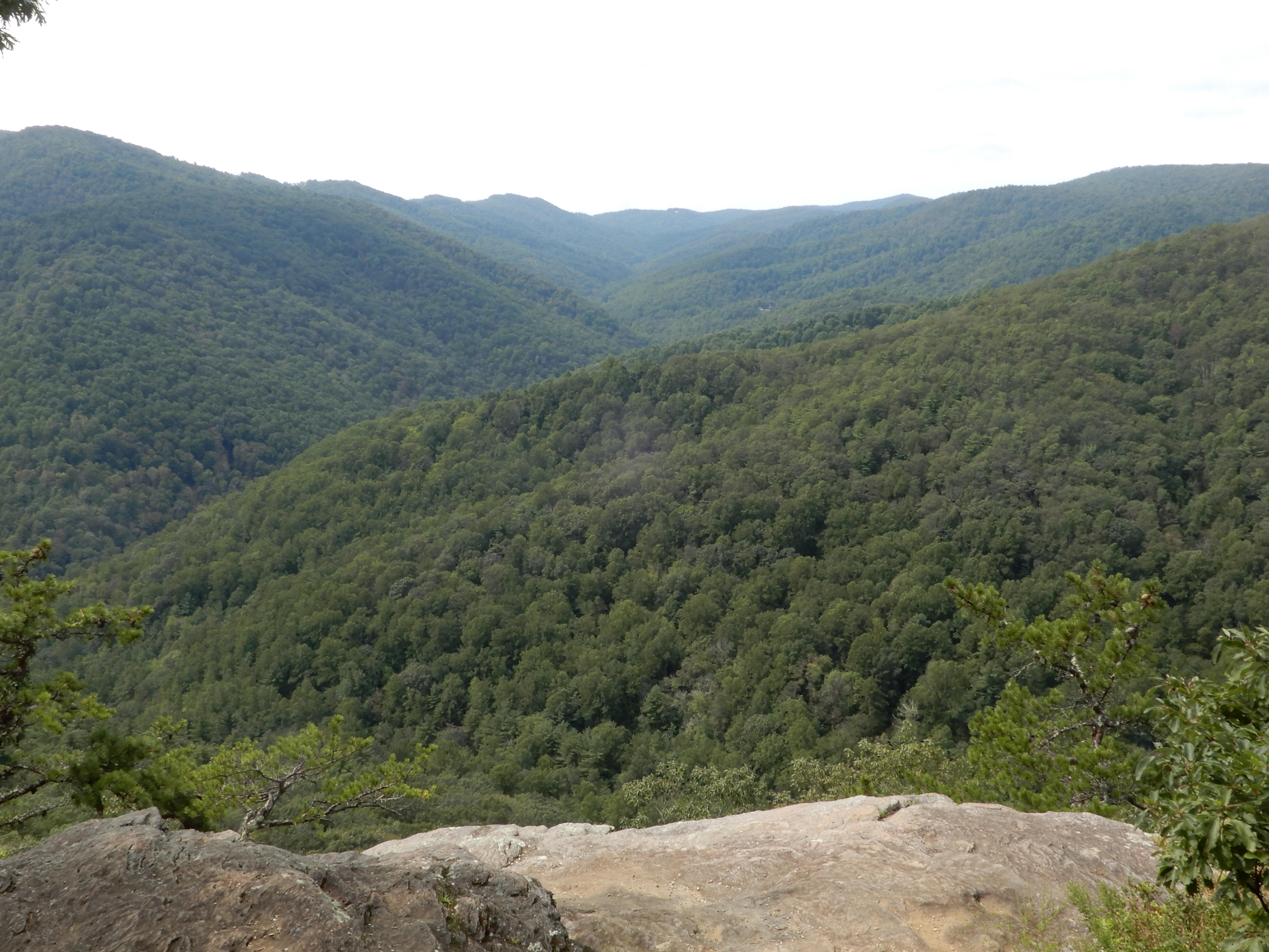
Close enough for some great views.
Naturally, it was much easier coming back down.
Once I got back to the motor home, we drove a short ways to the Humpback Rocks picnic area for lunch. And a brief rest.
American Locations 8: Continuing South on the Blue Ridge Parkway
After lunch and a short rest in the Hunchback Rocks picnic area, we continued south on the Parkway. We stopped frequently for overlooks.

Across the way, these homes have a good view of the Parkway.
I like this photo looking back at the road we had just driven.
We exited the Parkway to see a lake, but after 5 miles or so gave up and drove back up onto the Parkway. Resolved not to do this again. It was too difficult, and took too long, driving down from and then back up to the Parkway. We continued south, and the views just kept coming.
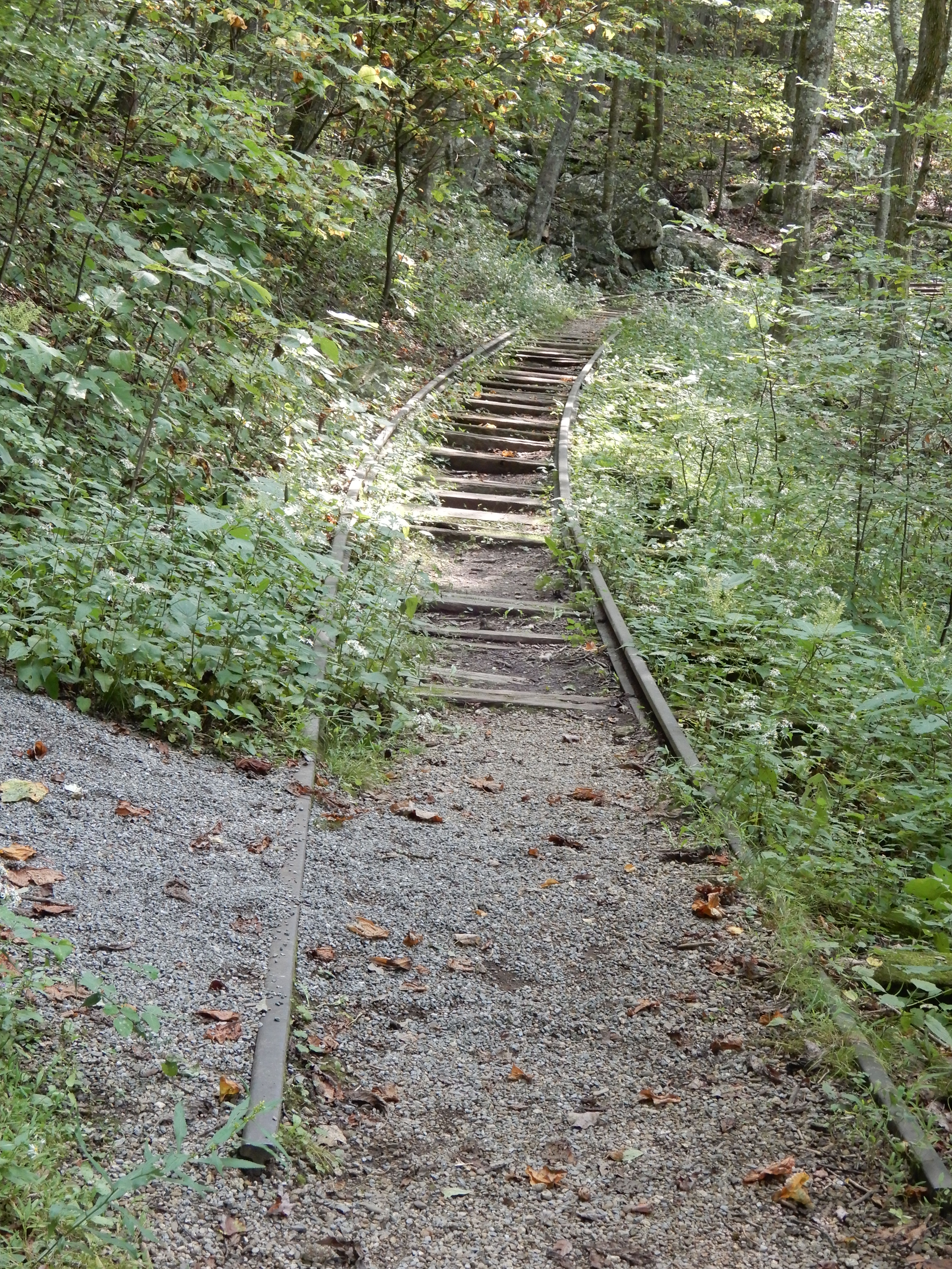
We stopped at MM34 at Yankee Horse Ridge to take a short hike up to Wigwam Falls. The trail began by crossing old railroad tracks fallen into disuse.
We followed a trickle.
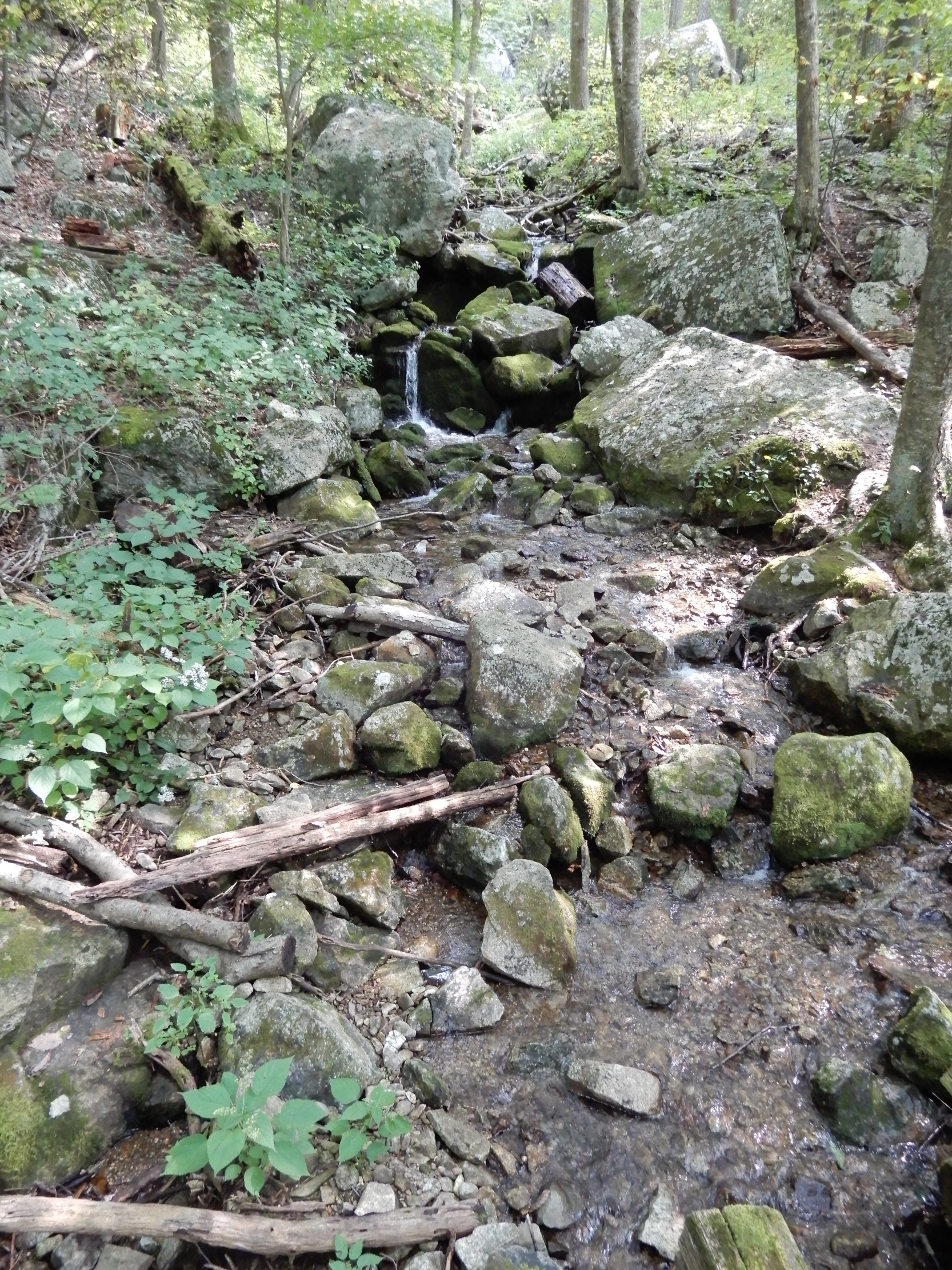
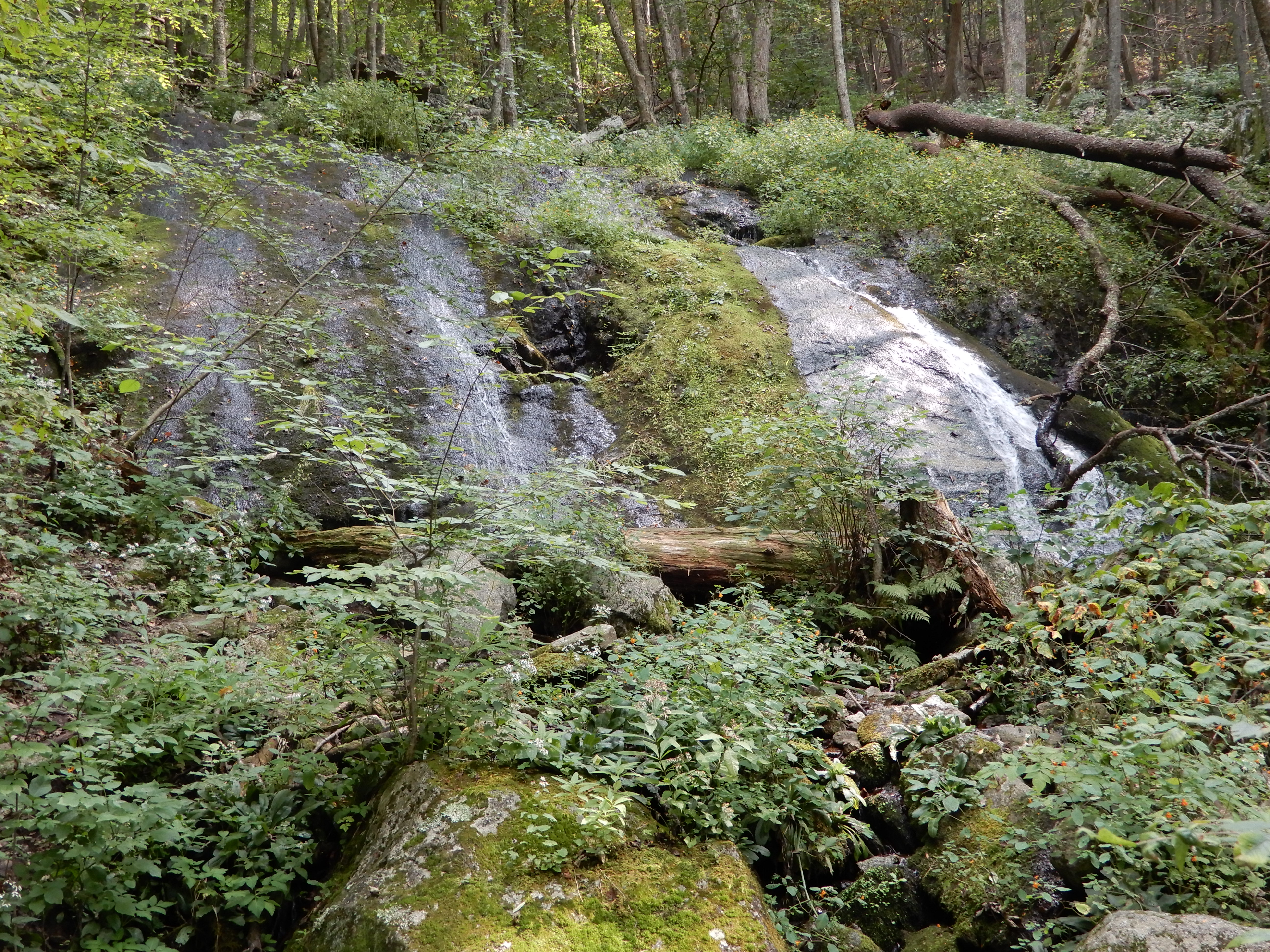
Up to Wigwam Falls.

American Locations 9: On the Blue Ridge Parkway – On to Peaks of Otter
Returning to the motor home following the hike to Wigwam Falls, we continued south. Needless to say, there was a lot of traffic on the Parkway. Much of it was motorcycles.
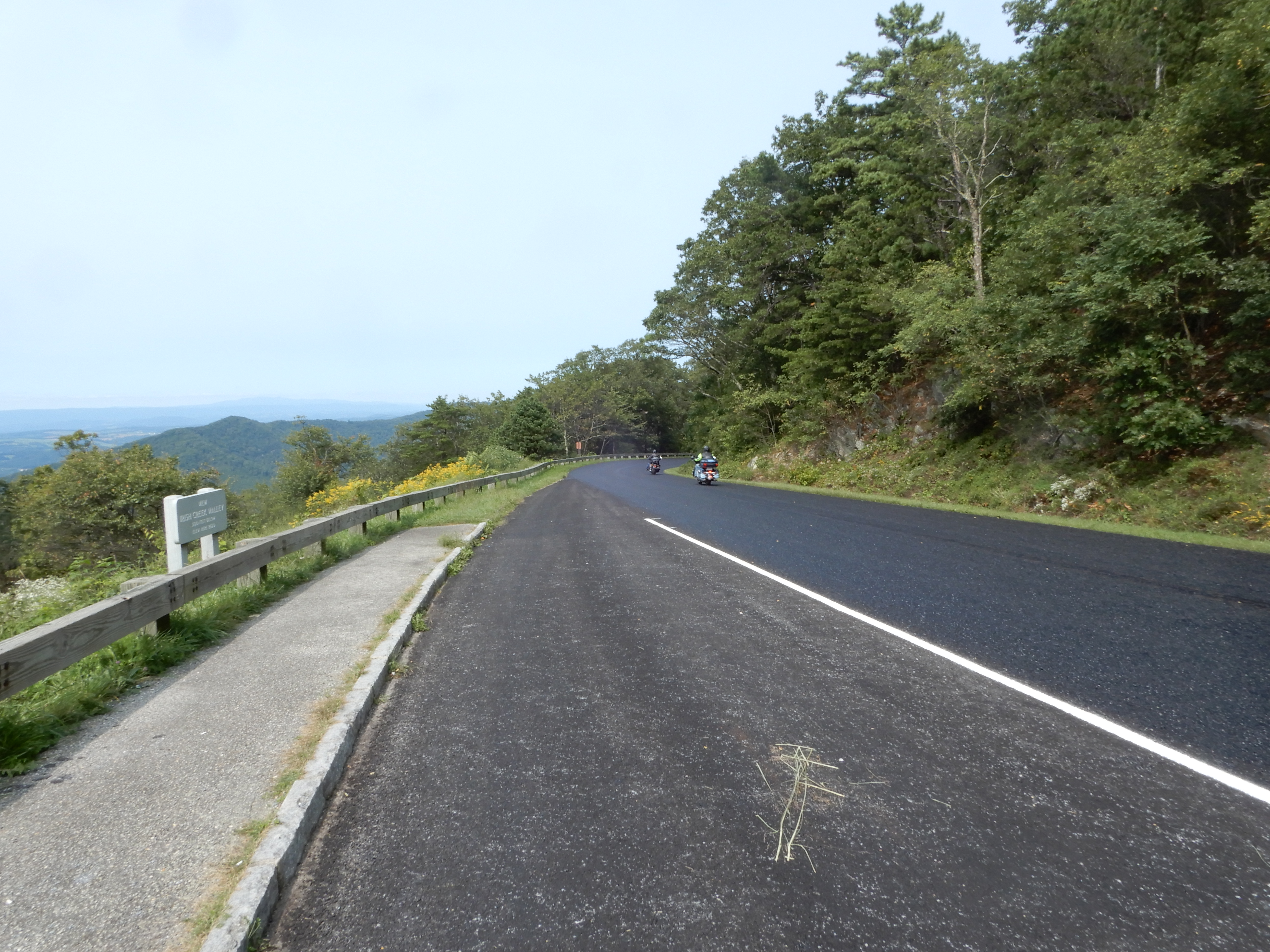
Like always, we pulled over at scenic spots.
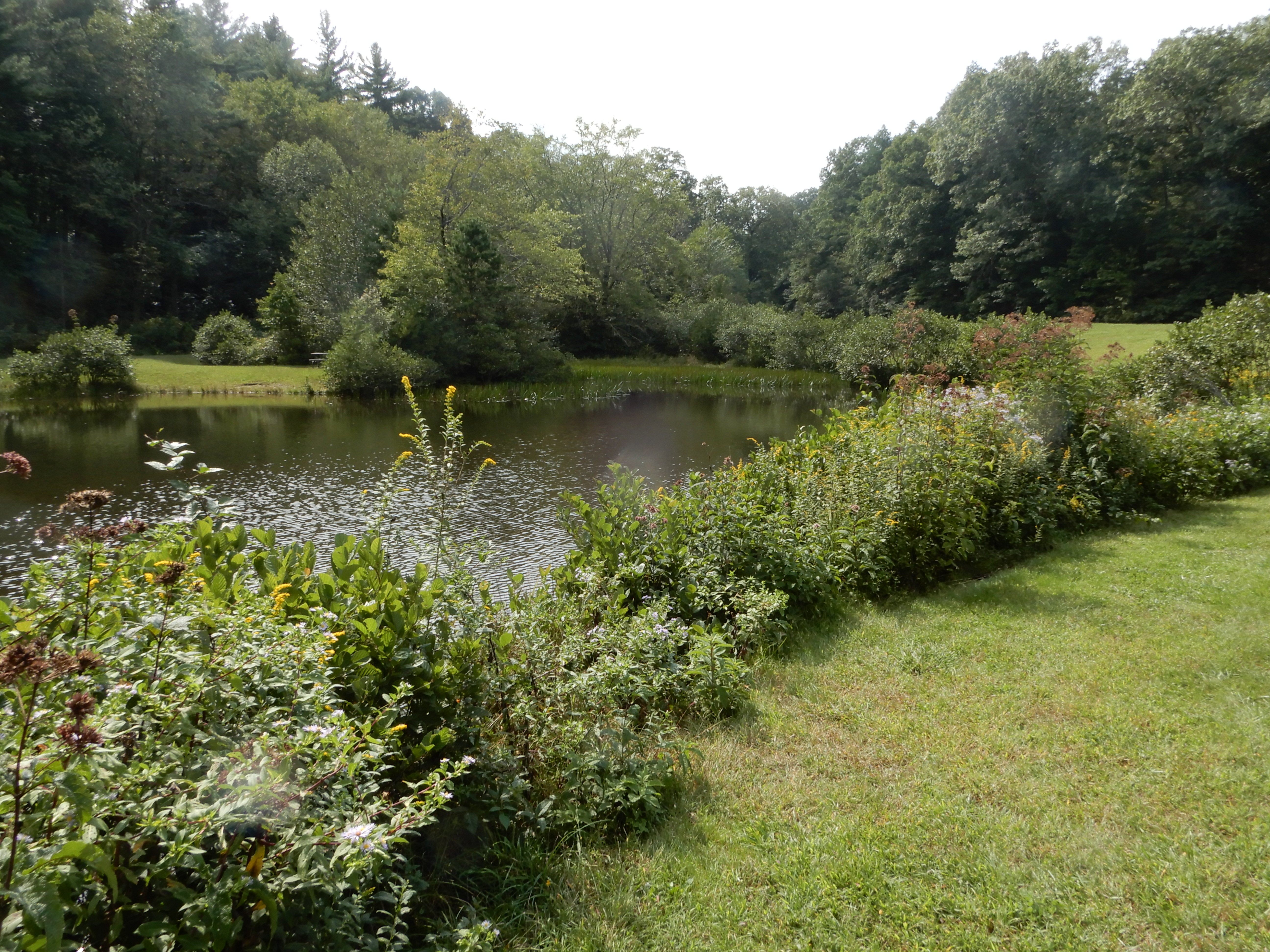
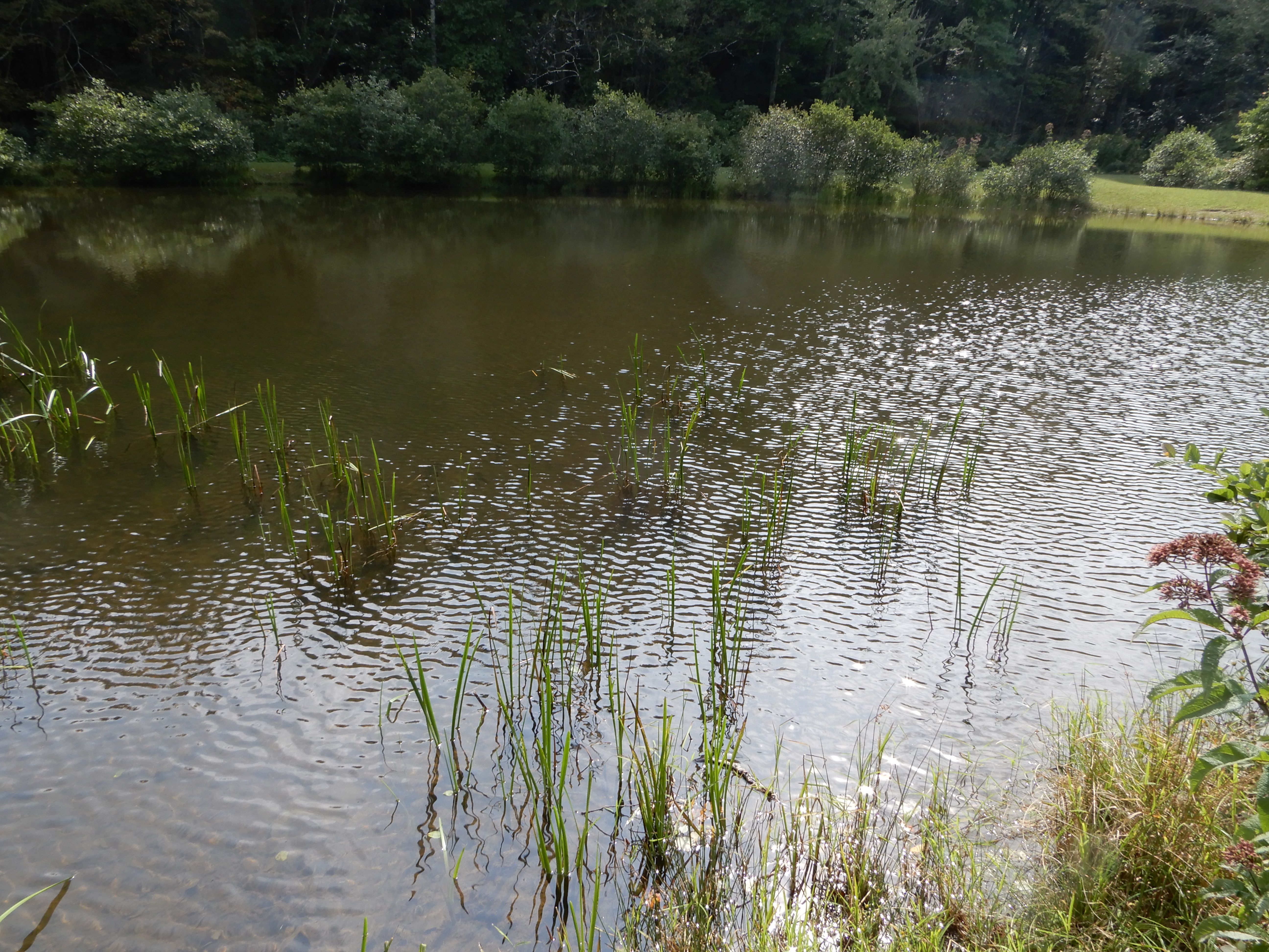
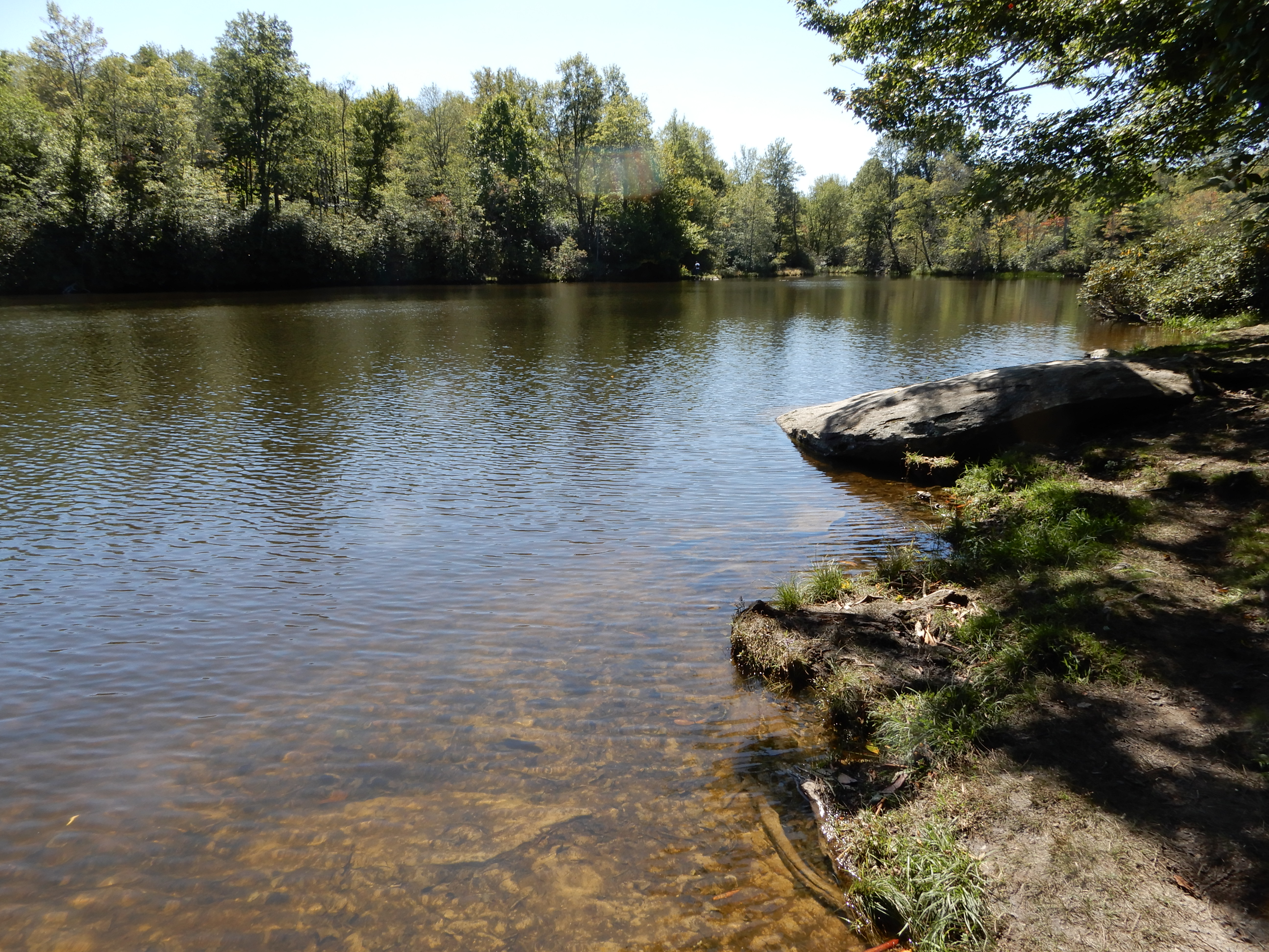
We stopped at a roadside pond to relax for a while. This was not a race. We took our time savoring the sights.
Then on and on.
We stopped at MM61 at Otter Creek Campground, but it was closed. Surprise, surprise. We drove on across the James River. We stopped at MM86 at the Peaks of Otter Lodge and learned where the campground was. We exited the Parkway and got a site at Peaks of Otter Campground.
We roamed around the campground the rest of the day.
American Locations 10: On the Blue Ridge Parkway – A Detour to Stone Mountain State Park, Virginia
e up early in the morning to rain. Learned it was going to rain all day and night long, ending sometime the next morning. We left the Peaks of Otter Campground and drove down off the Parkway looking for a campground with hookups. Located one in Roanoke. Driving to it, we ended up back on the Parkway. We came to where it was closed for repairs at MM115, where we exited for the Virginia Explore Park, still inside the park. Apparently this is a private campground operated by a vendor within the Parkway’s boundaries. We got a site with electric to wait out the rain.

The rain ended during the night. We left the Explore Park Campground late that morning and took the detour through Roanoke to get around the shut-down section of the Parkway. We got back on the Parkway late that morning at MM136. The rest of the day was a very pleasant. Most of it was spent driving through farmland.


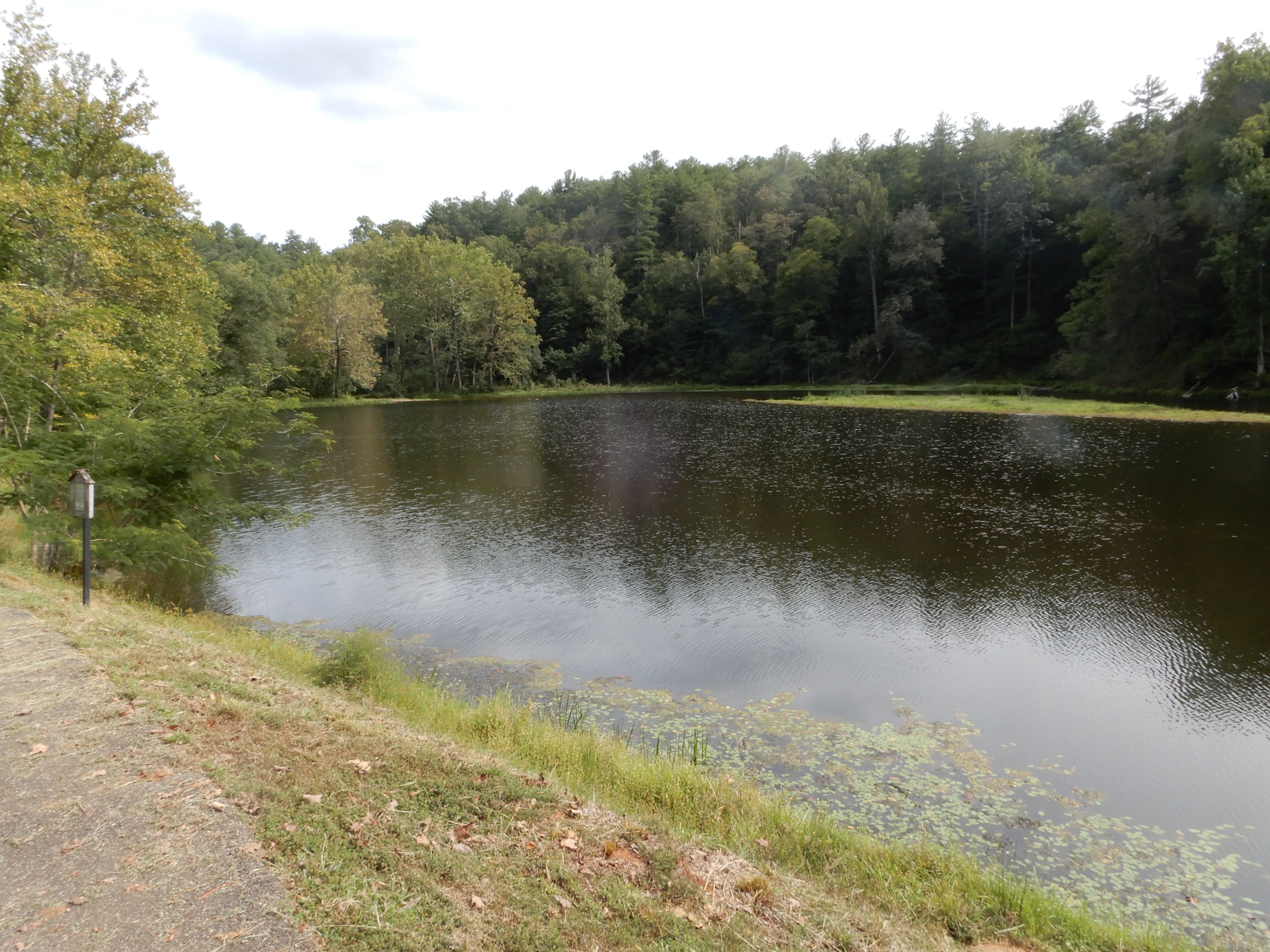
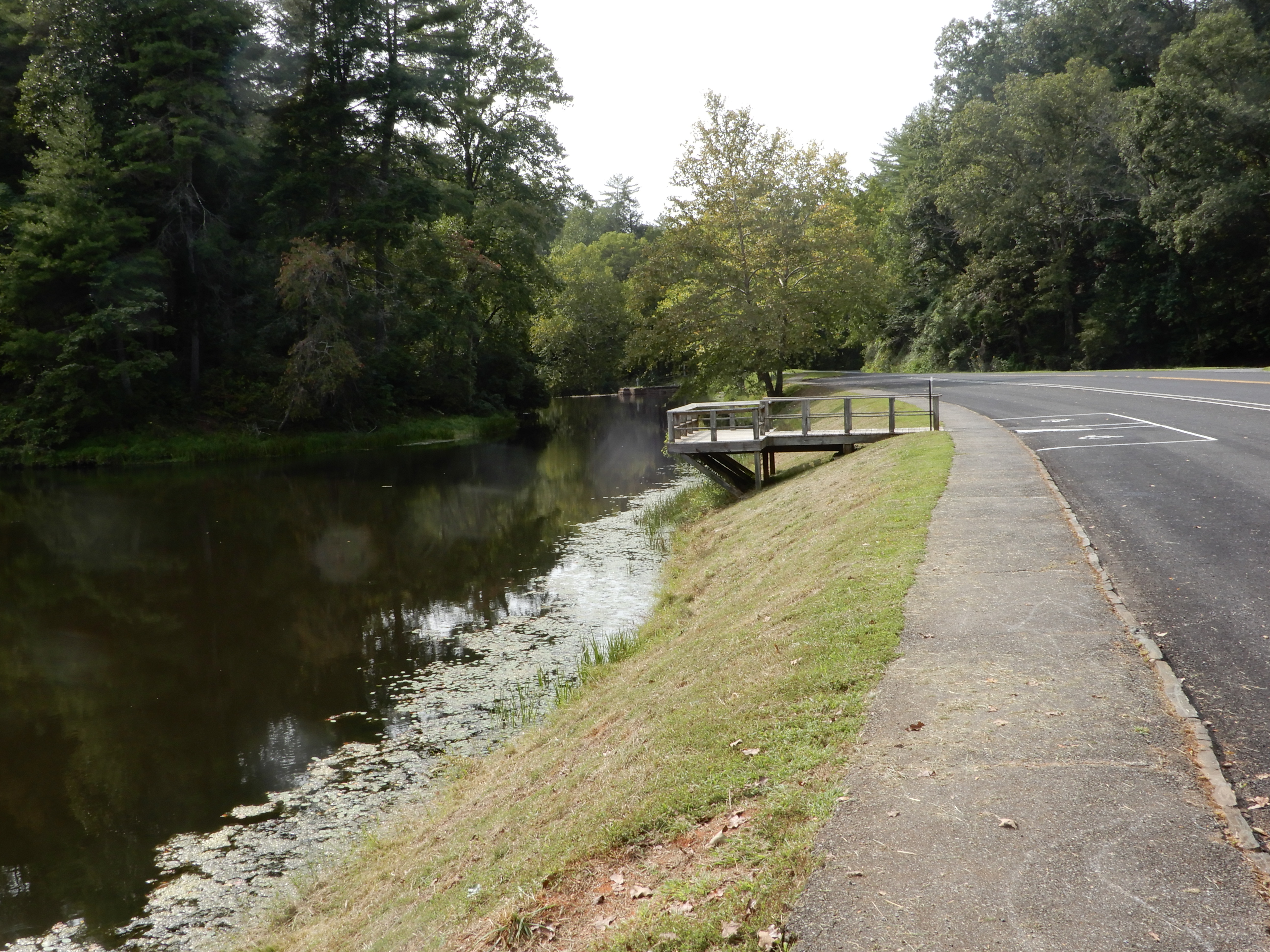
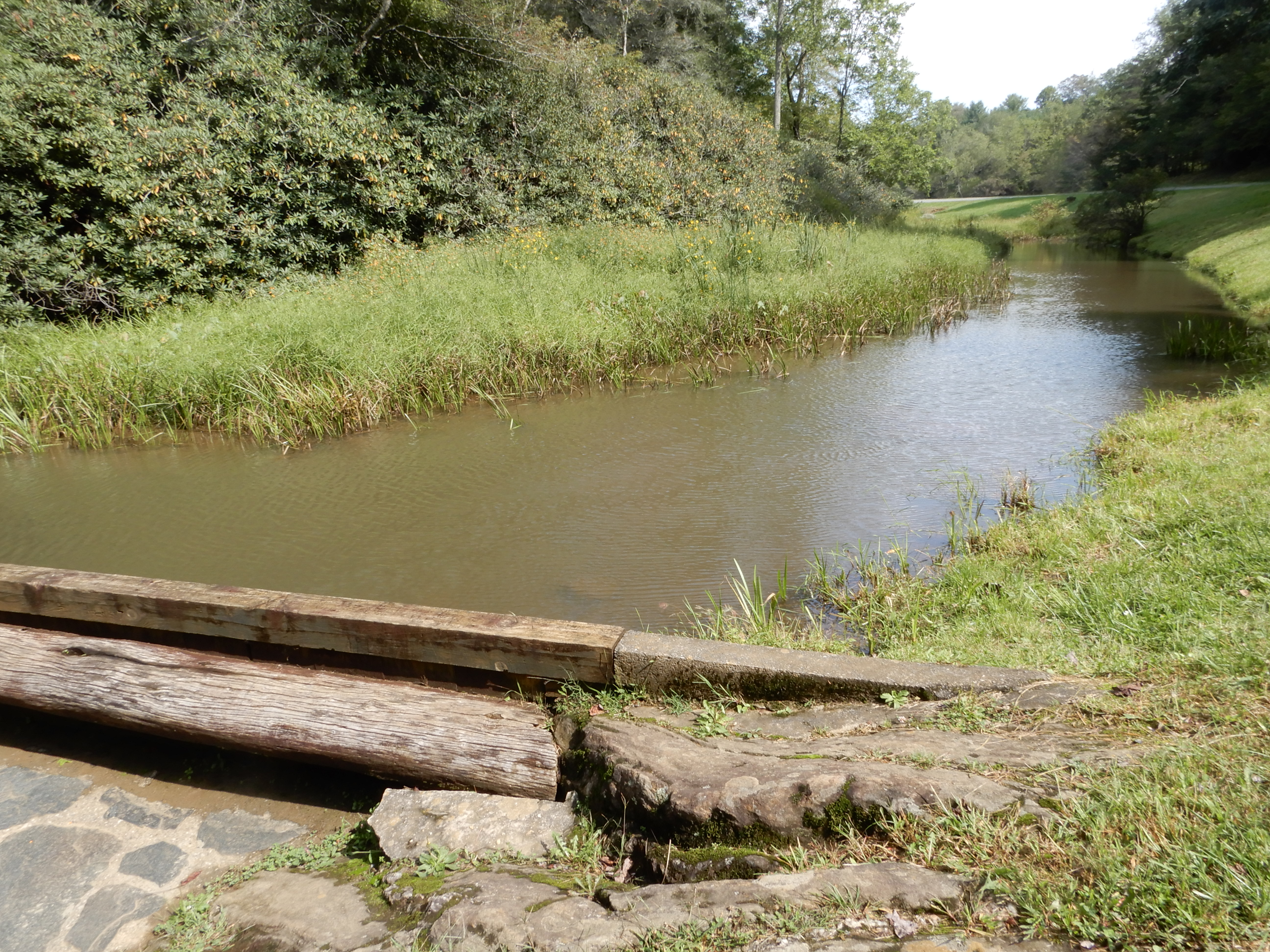
We stopped at Rake’s Mill Pond to eat lunch.
After lunch, we drove to Rocky Knob, but the visitor center was closed (once again) and it was too early to stop to camp. So we continued south.
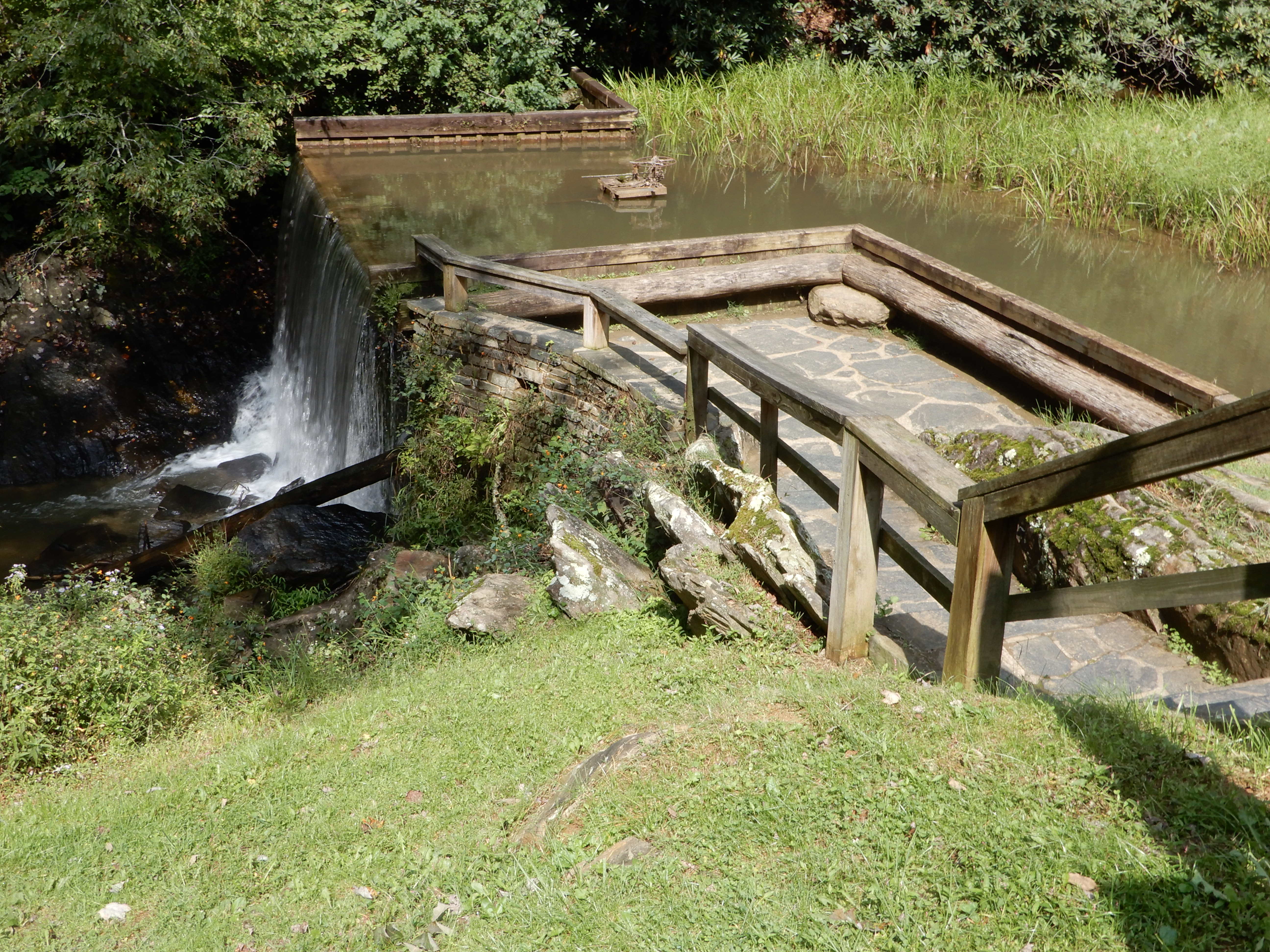
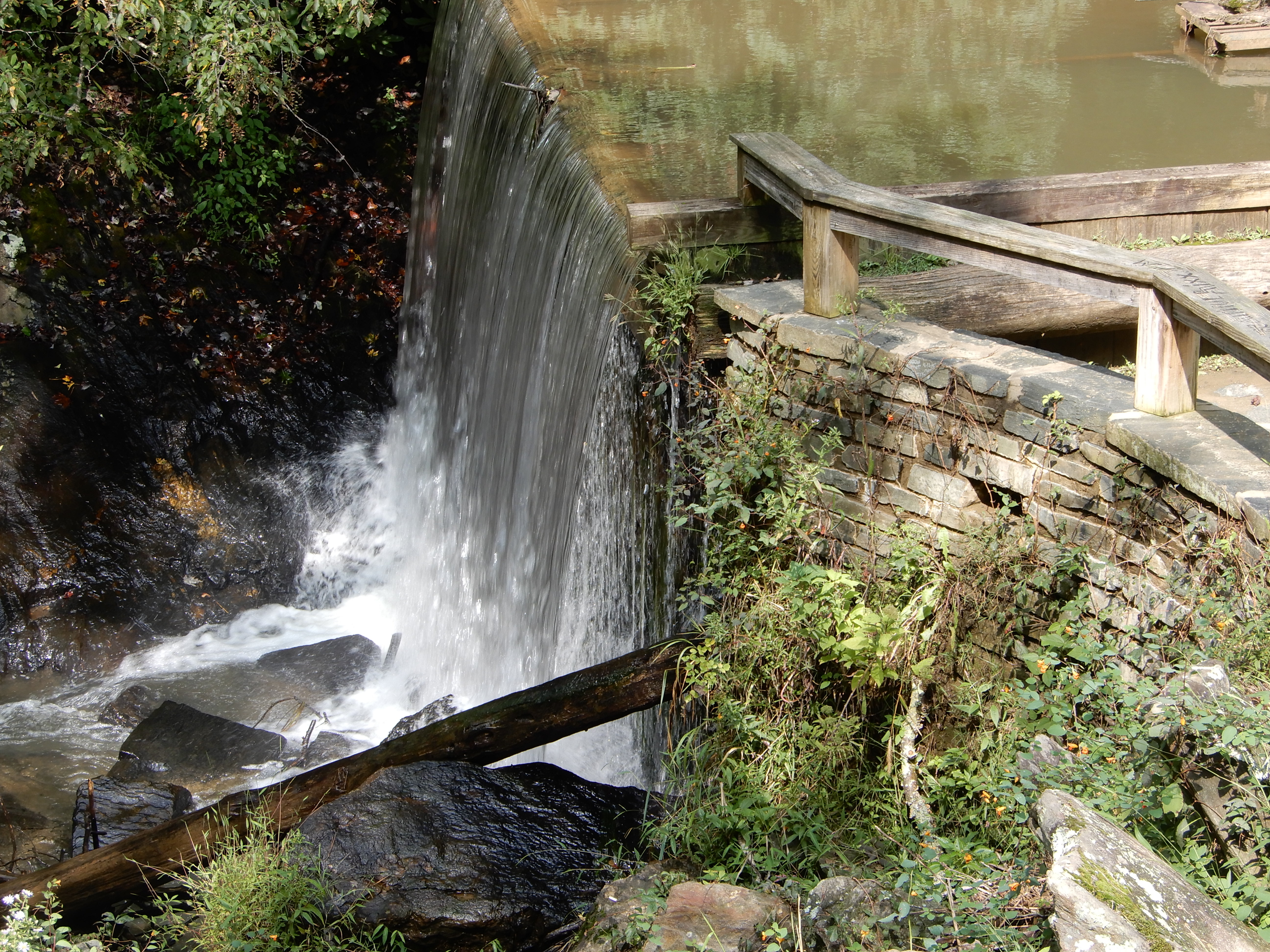
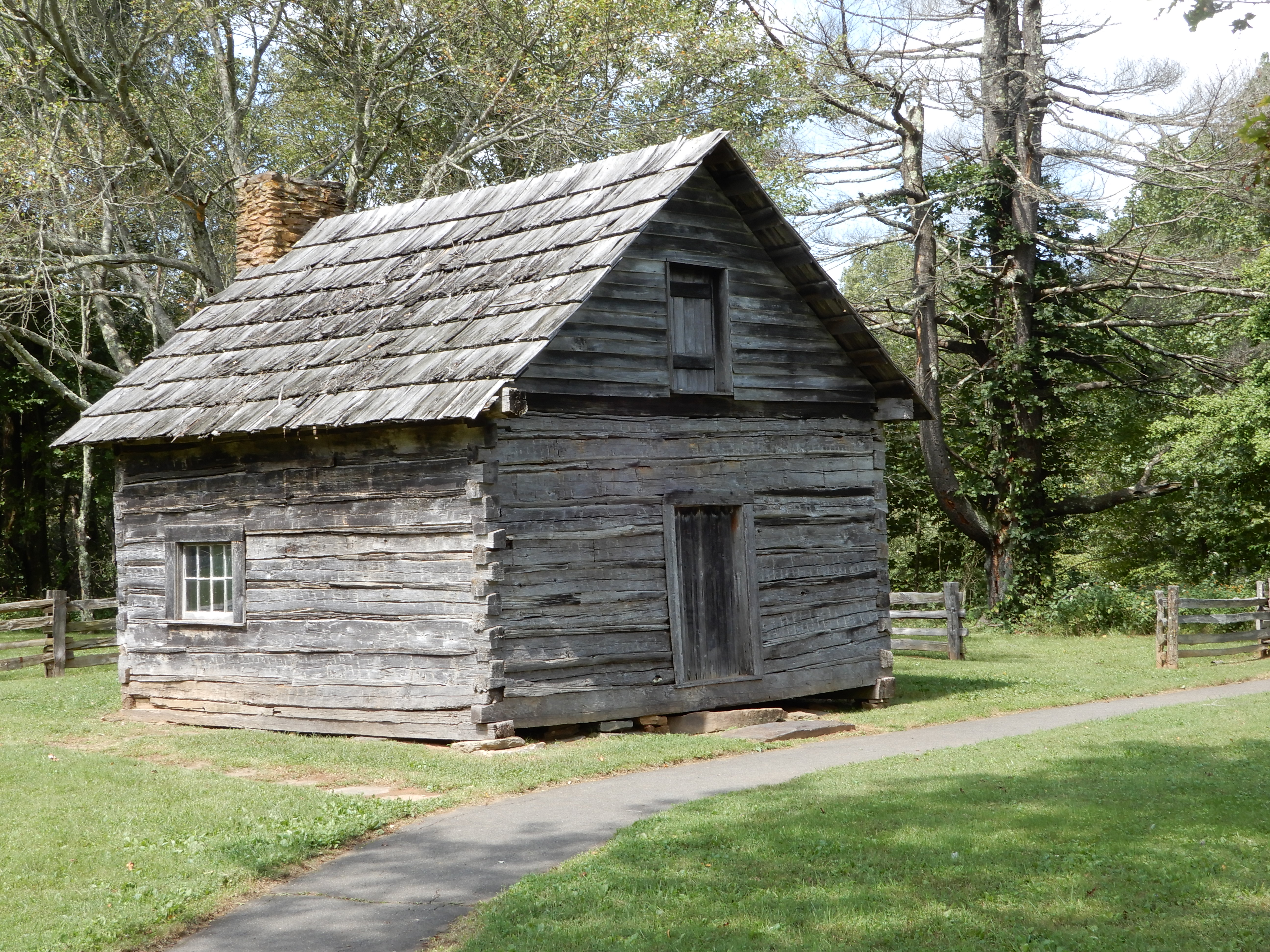
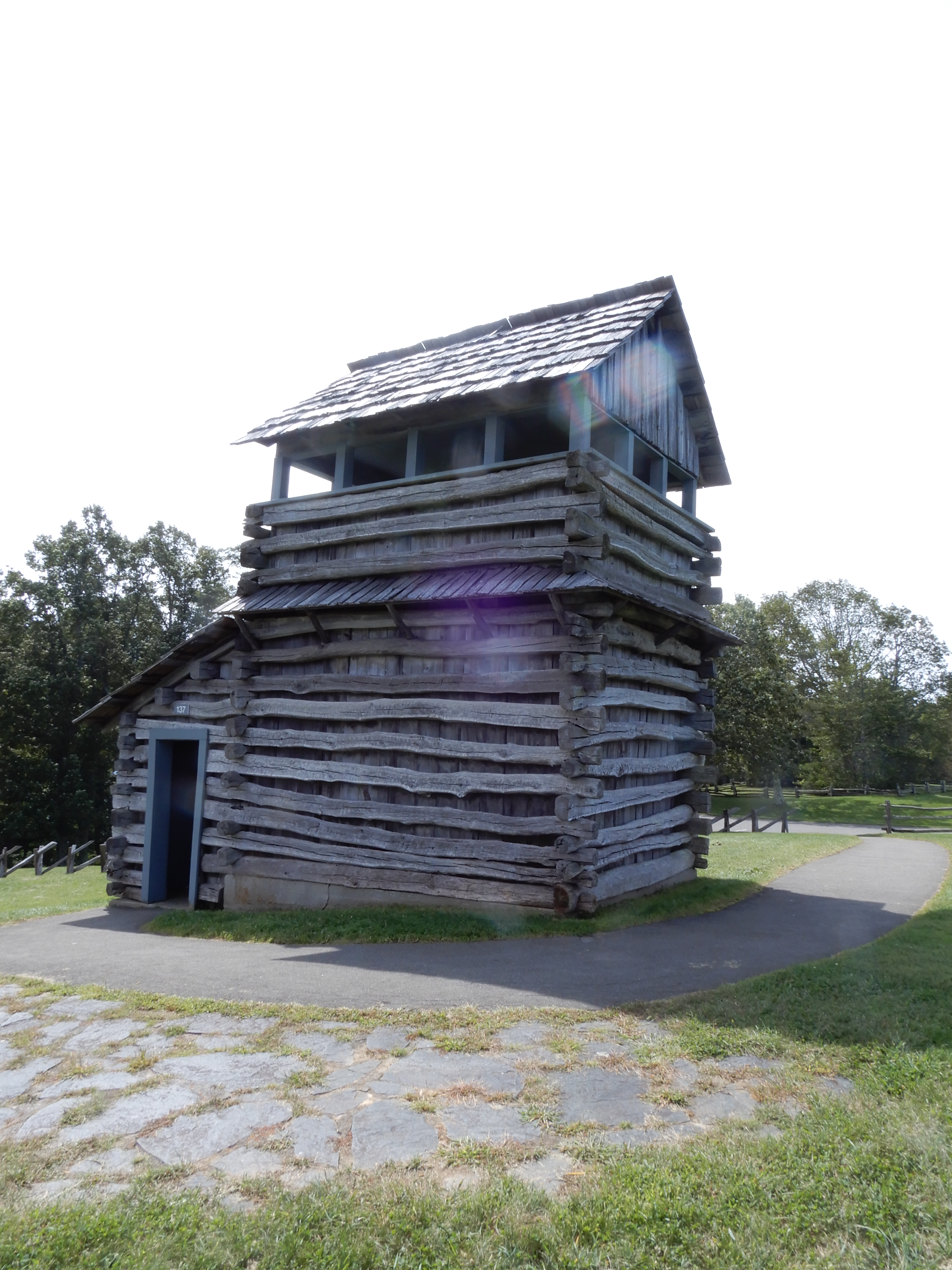
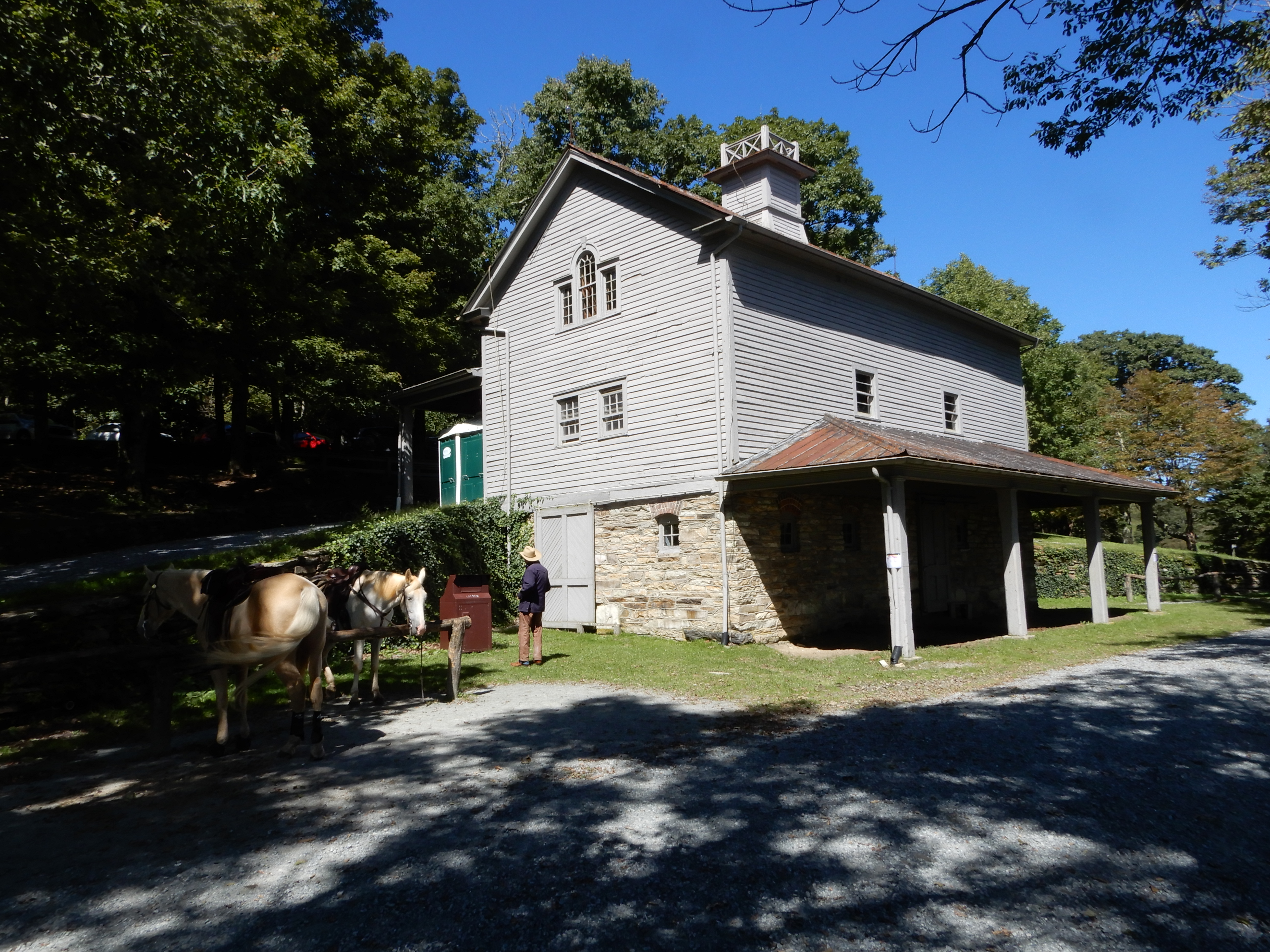
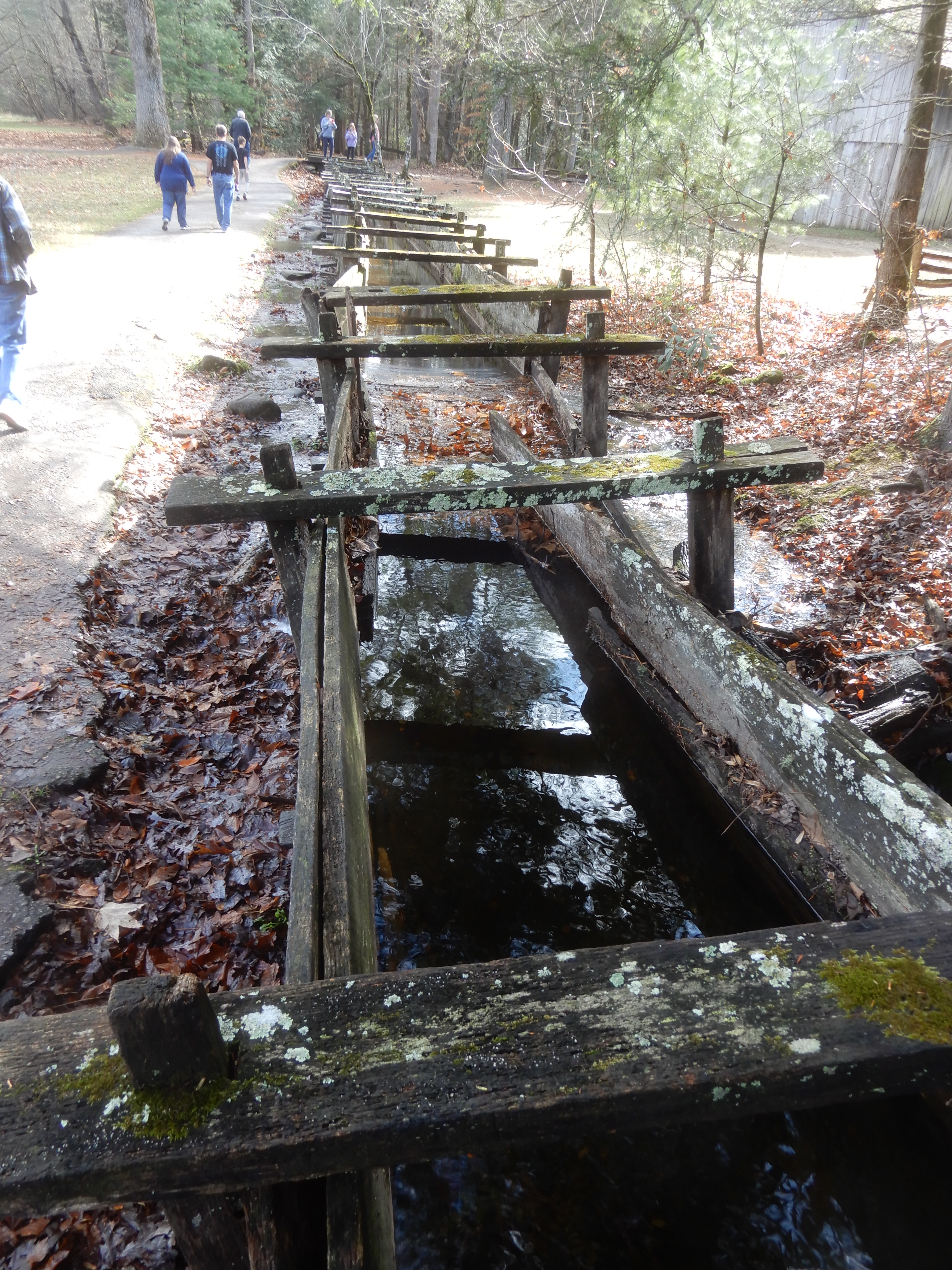
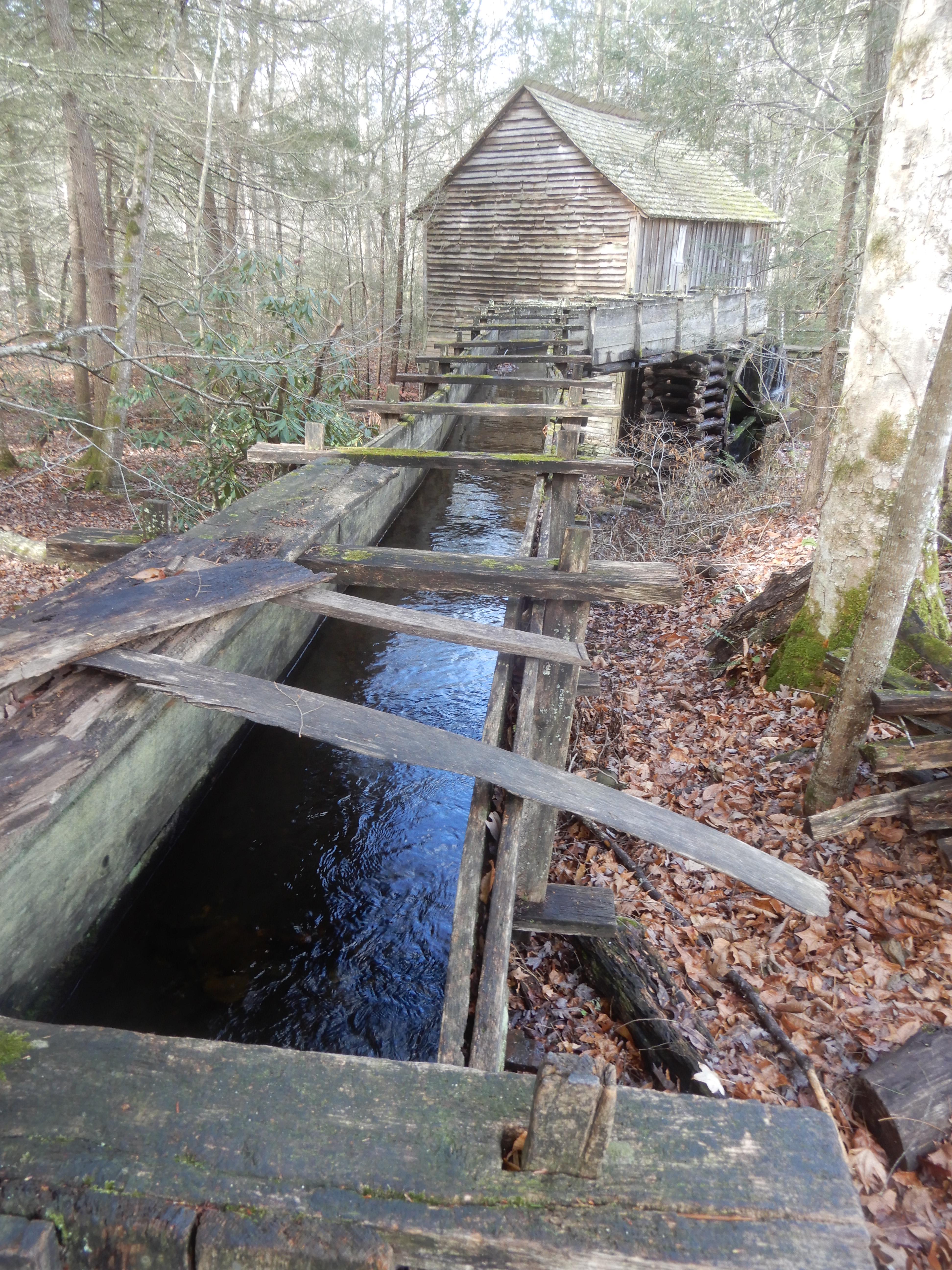
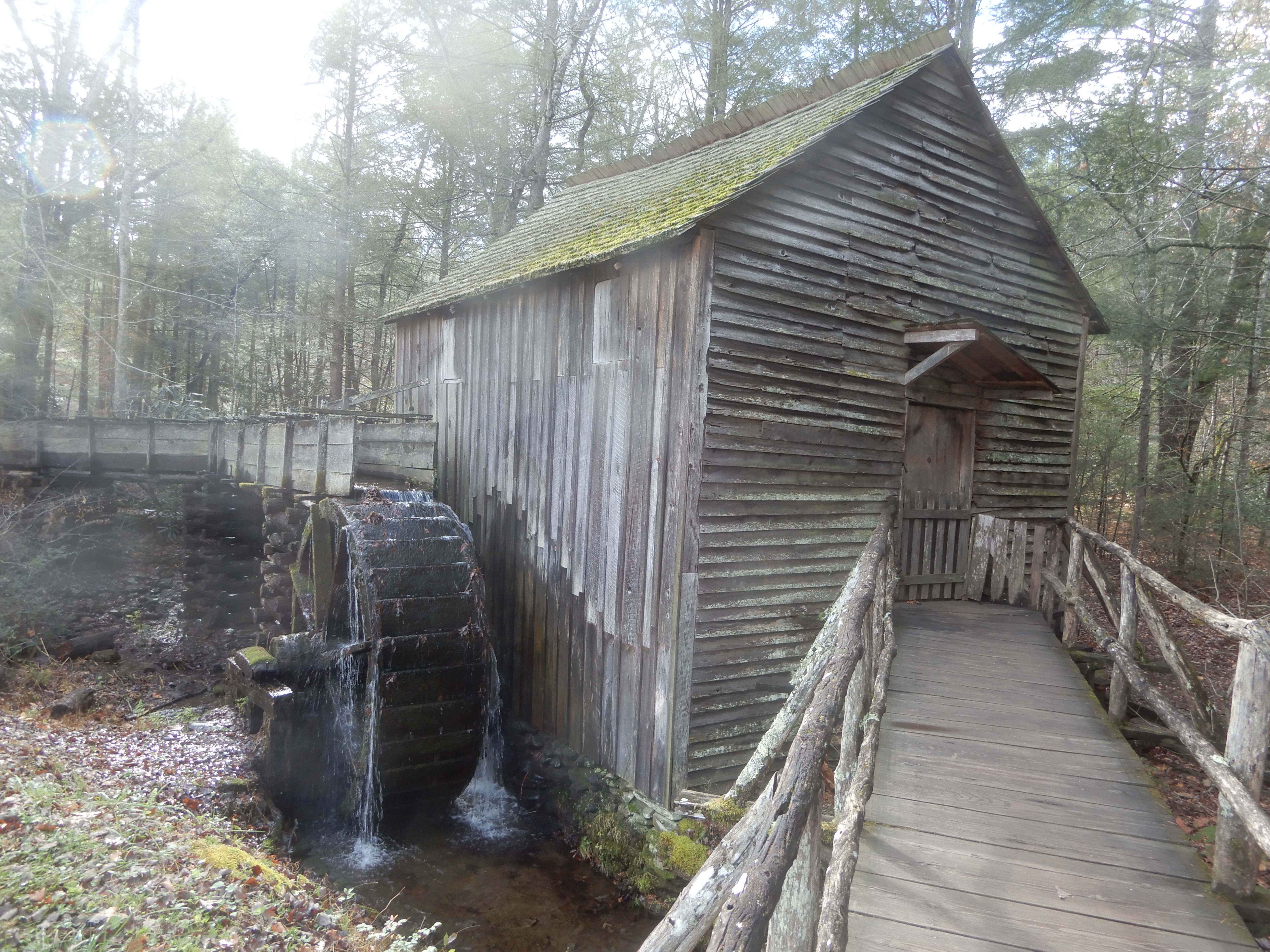
We stopped at Mabry Mill and walked around there.

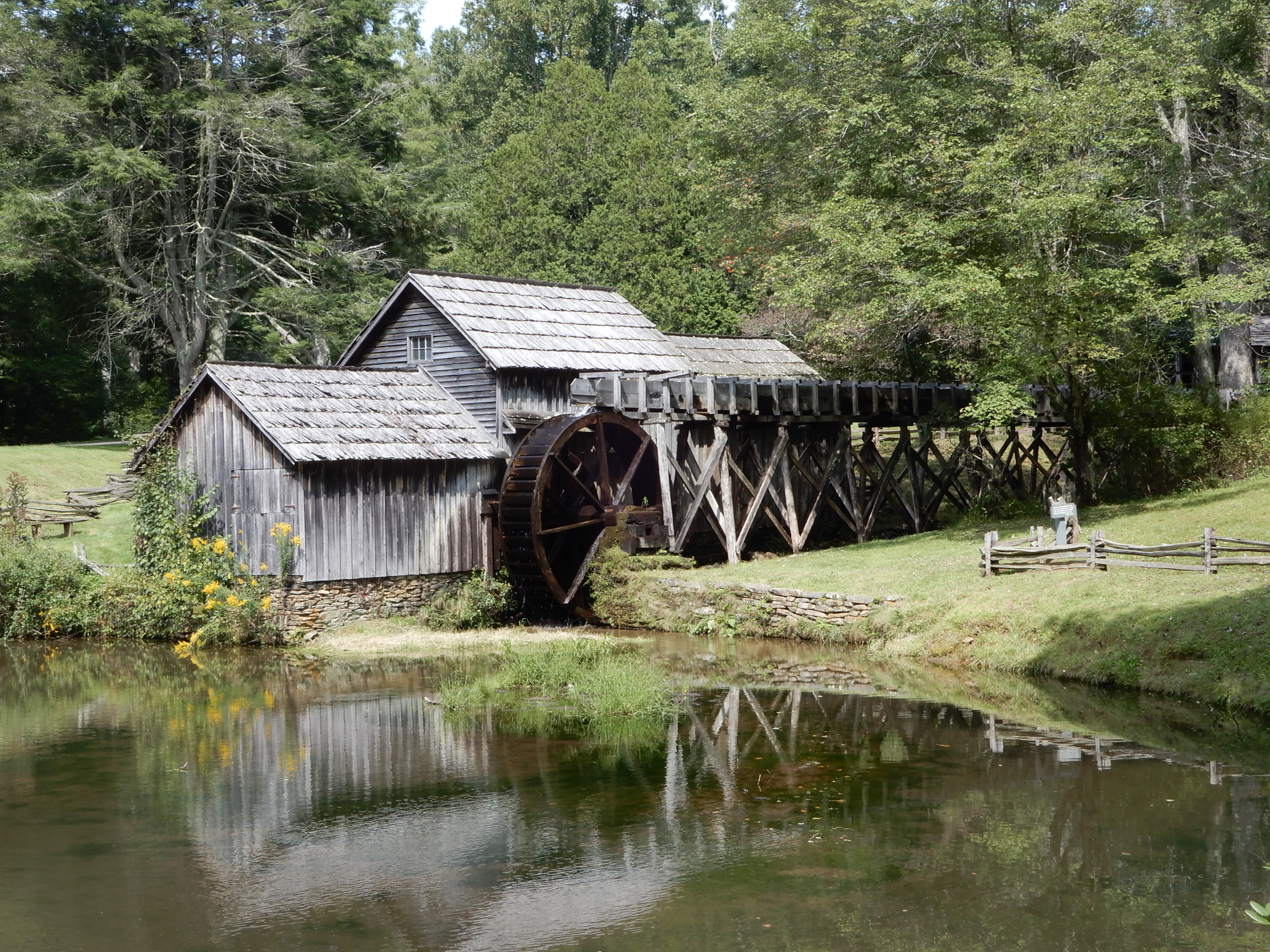
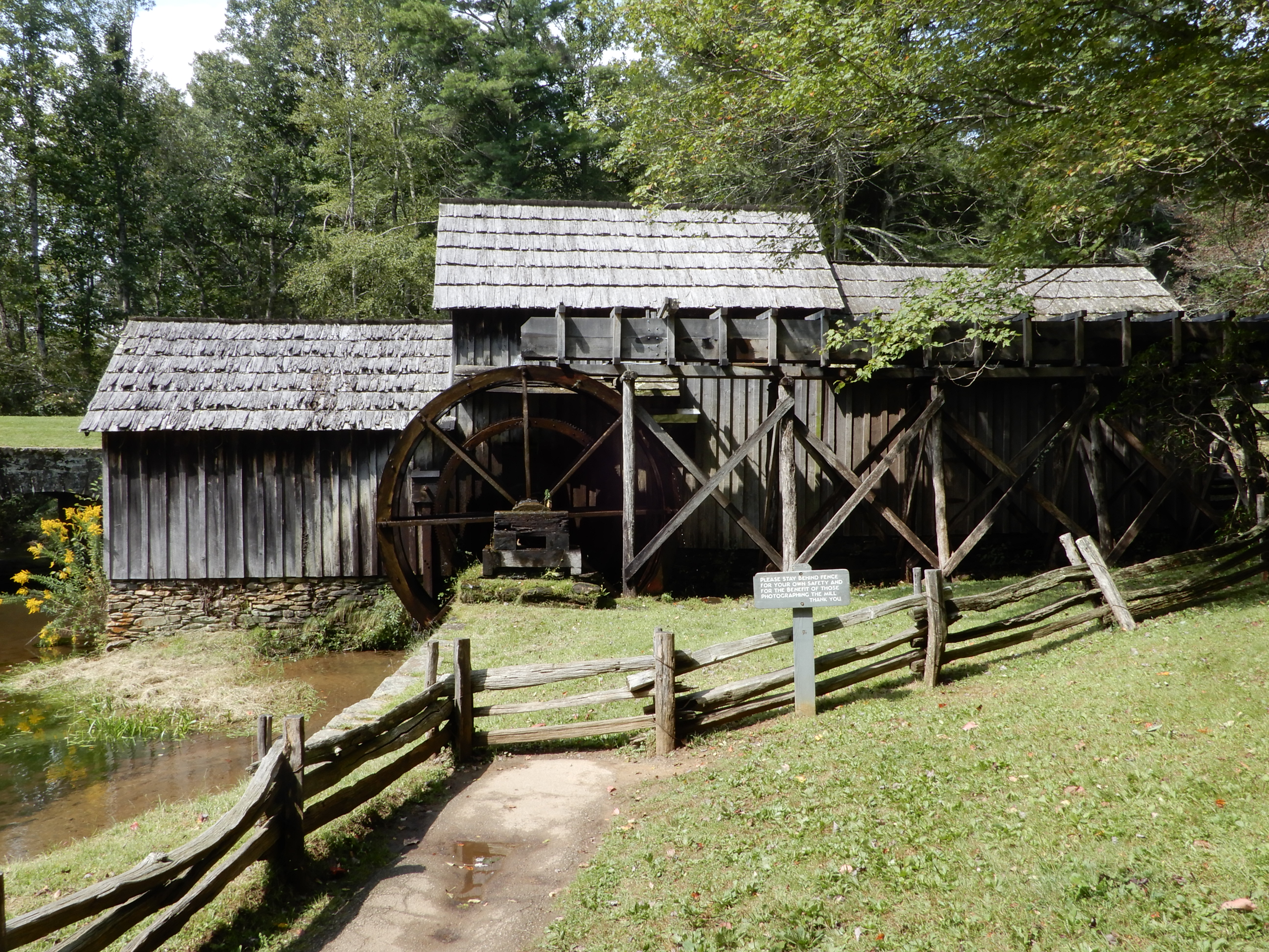
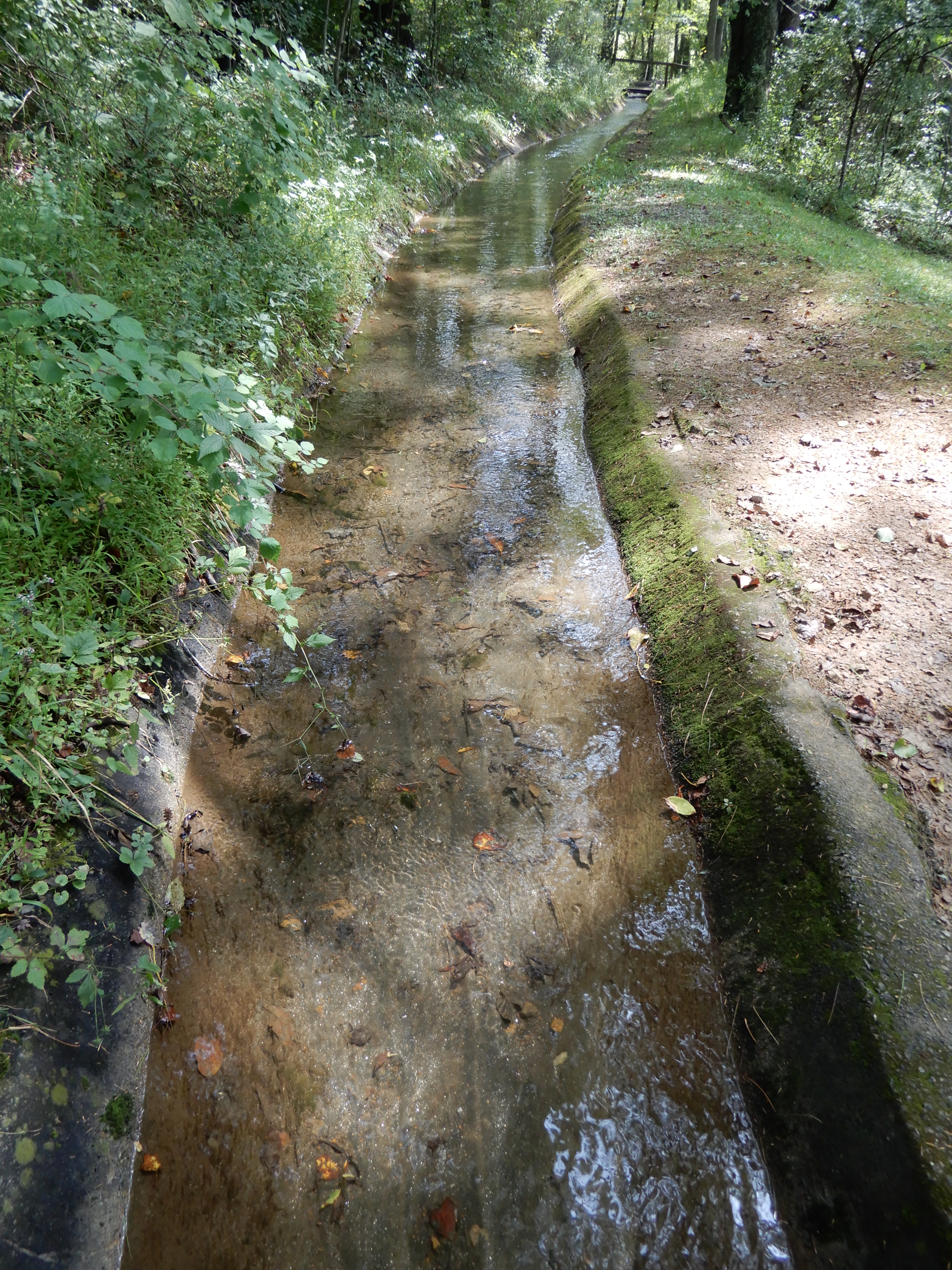
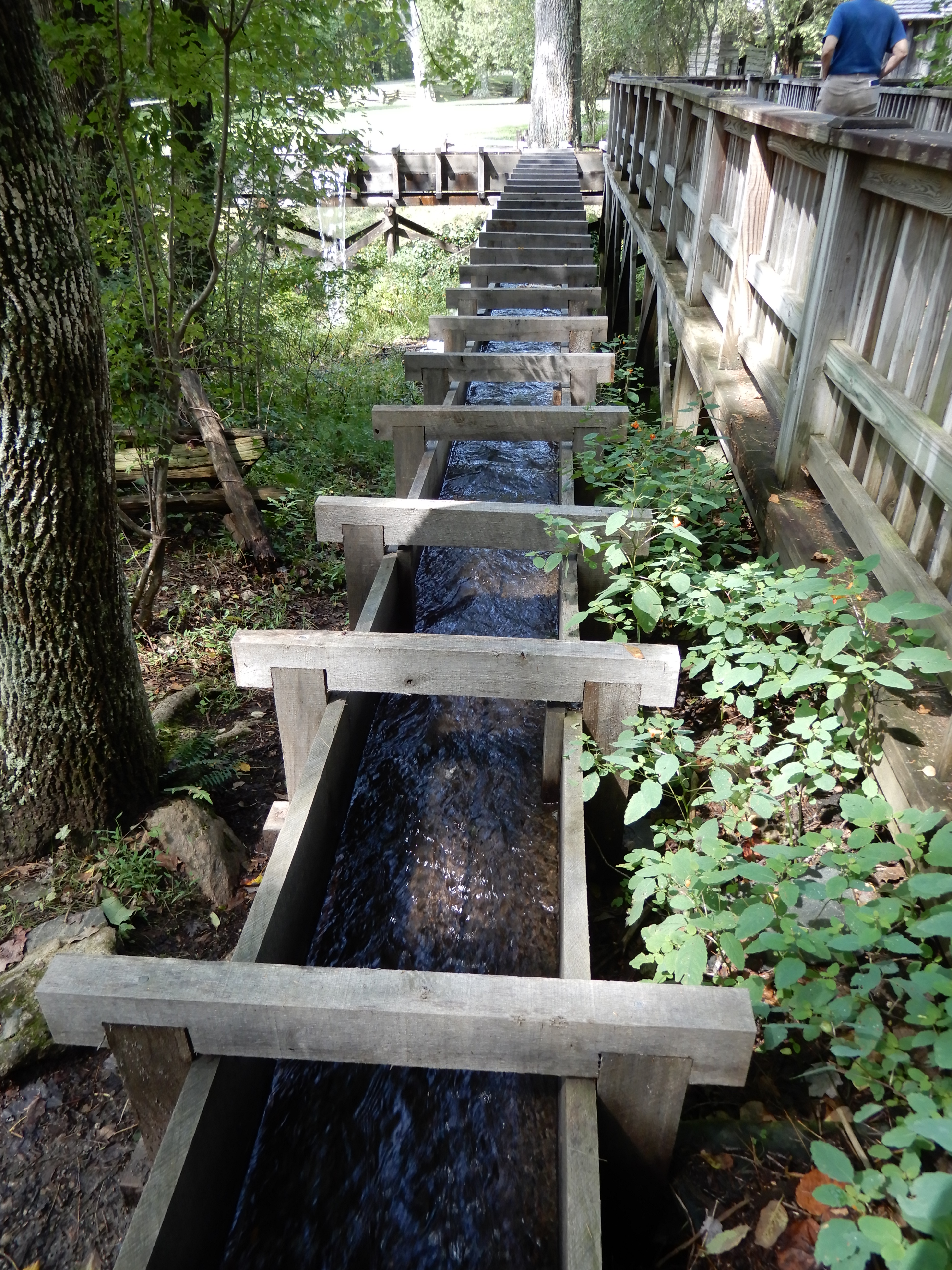
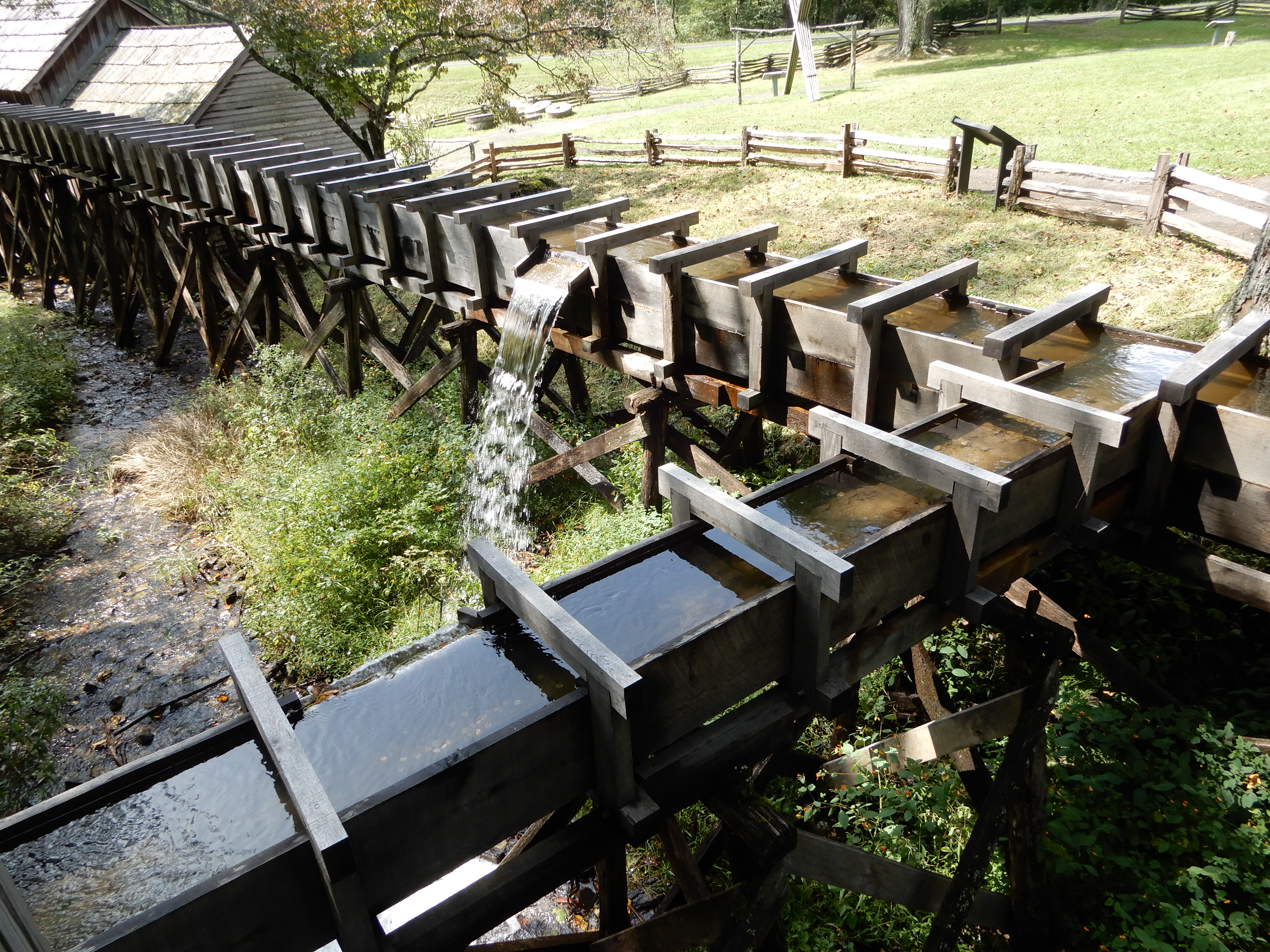
The mill run.
There were other buildings there.

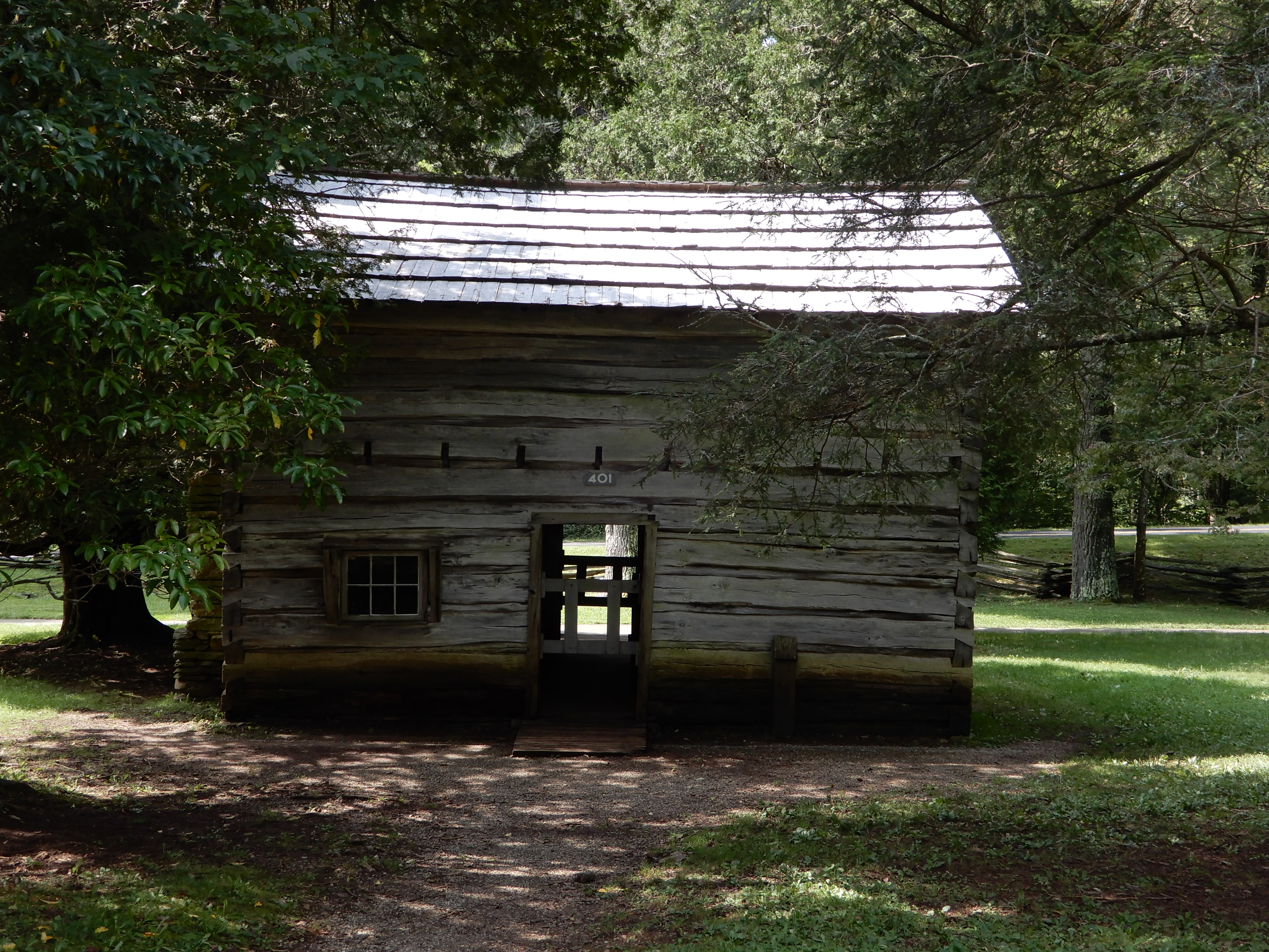
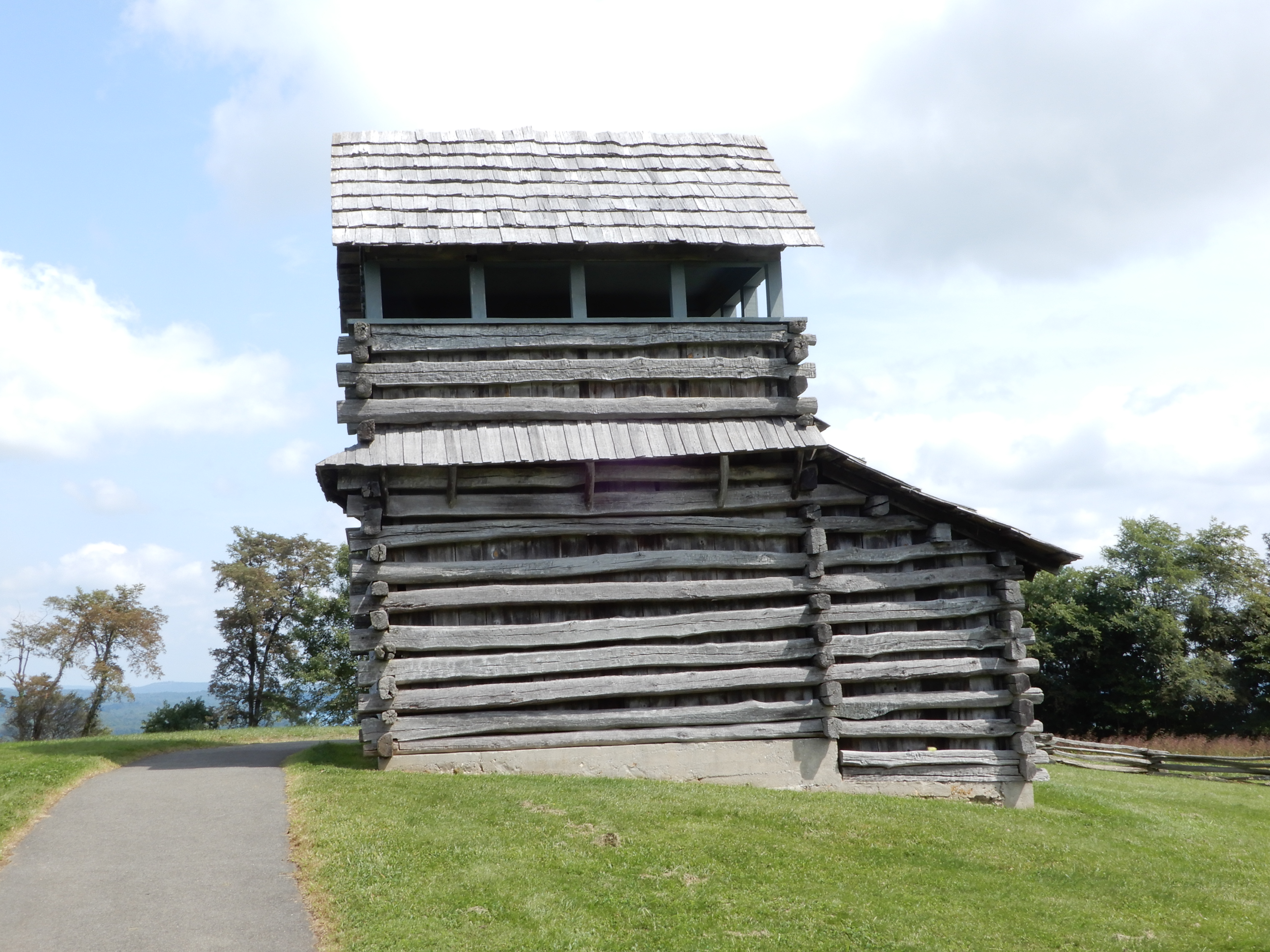
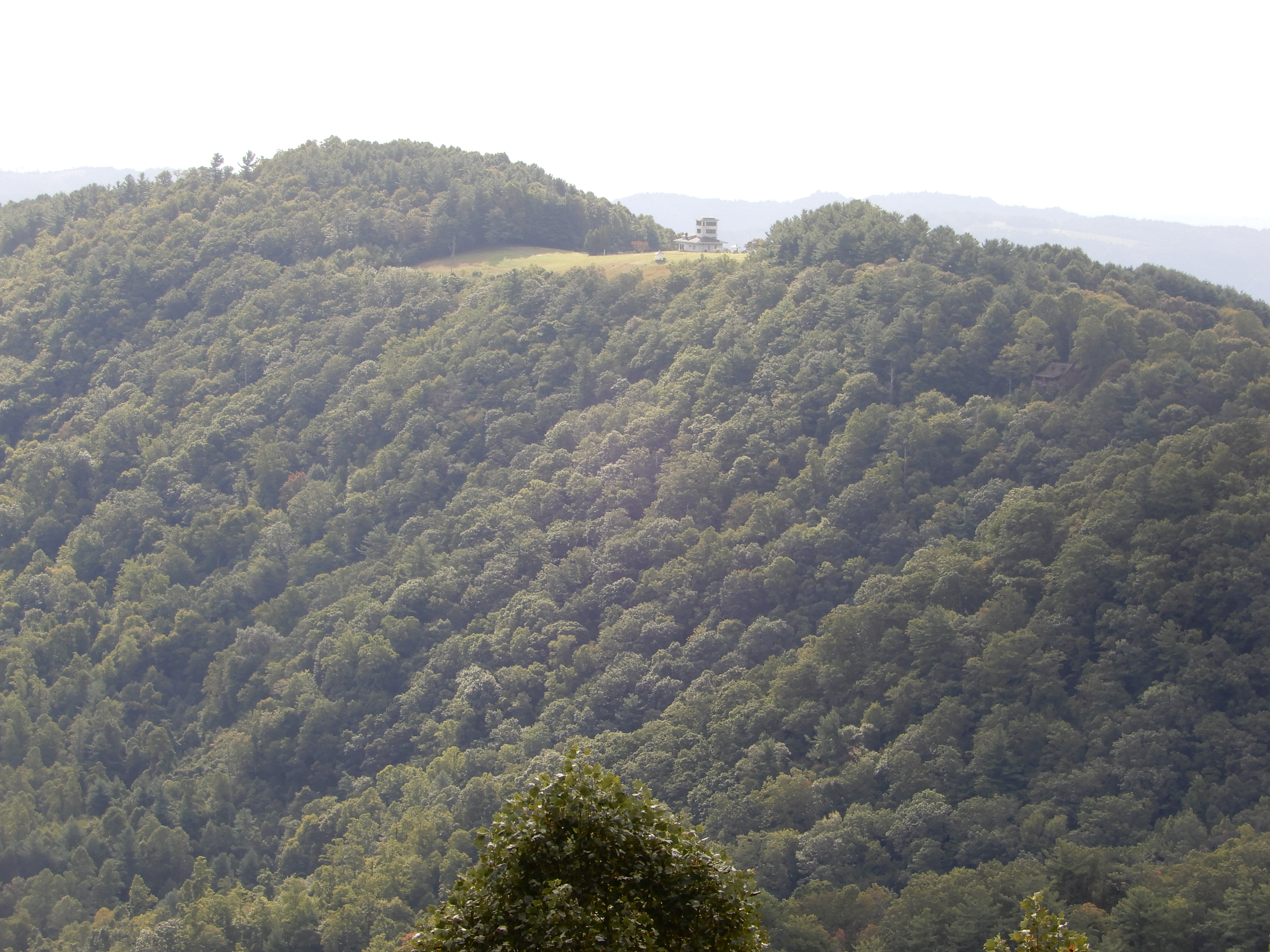
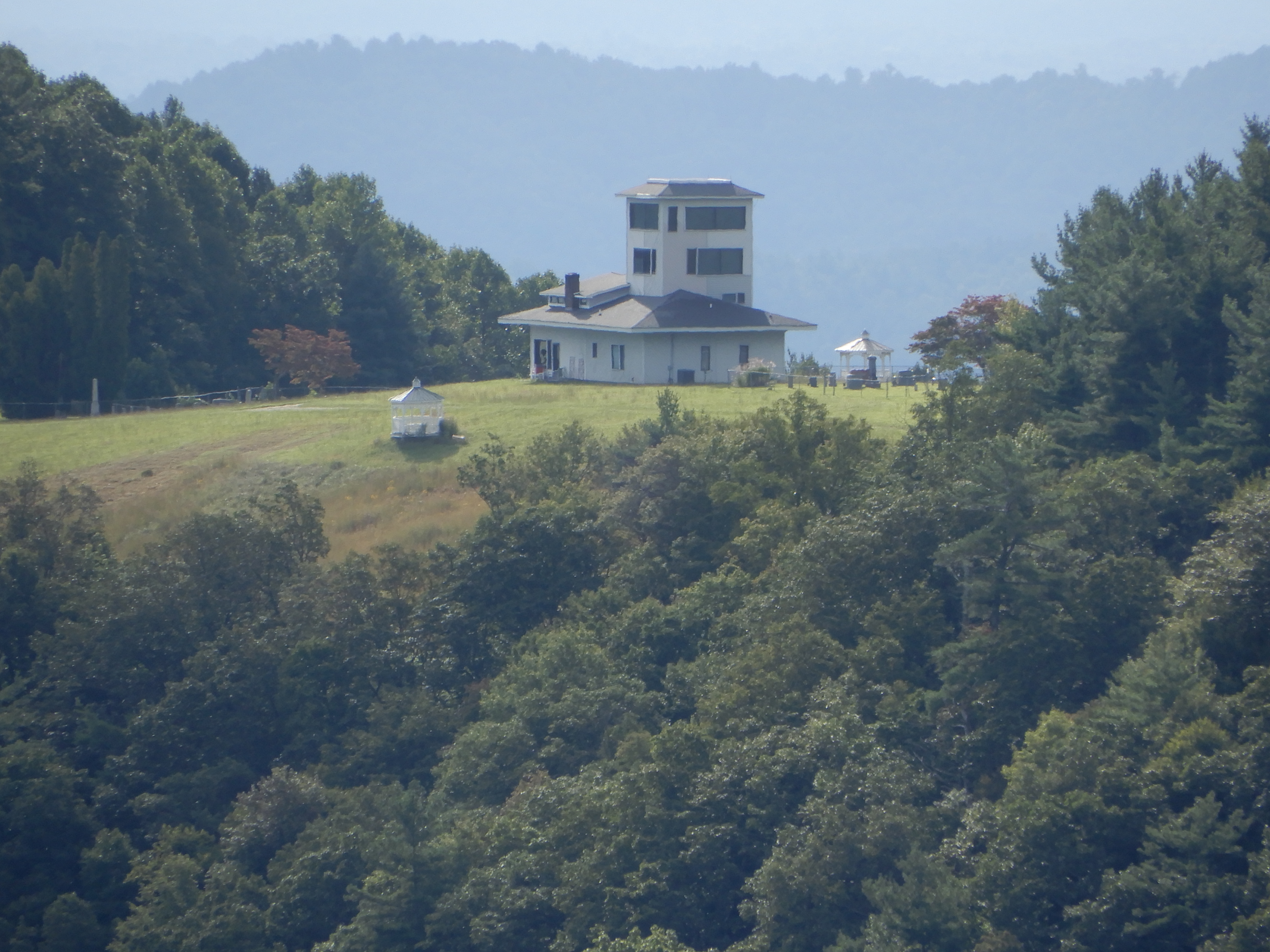
Also there was a watch tower. It sat on top of a hill, giving it a good view over the surrounding countryside.
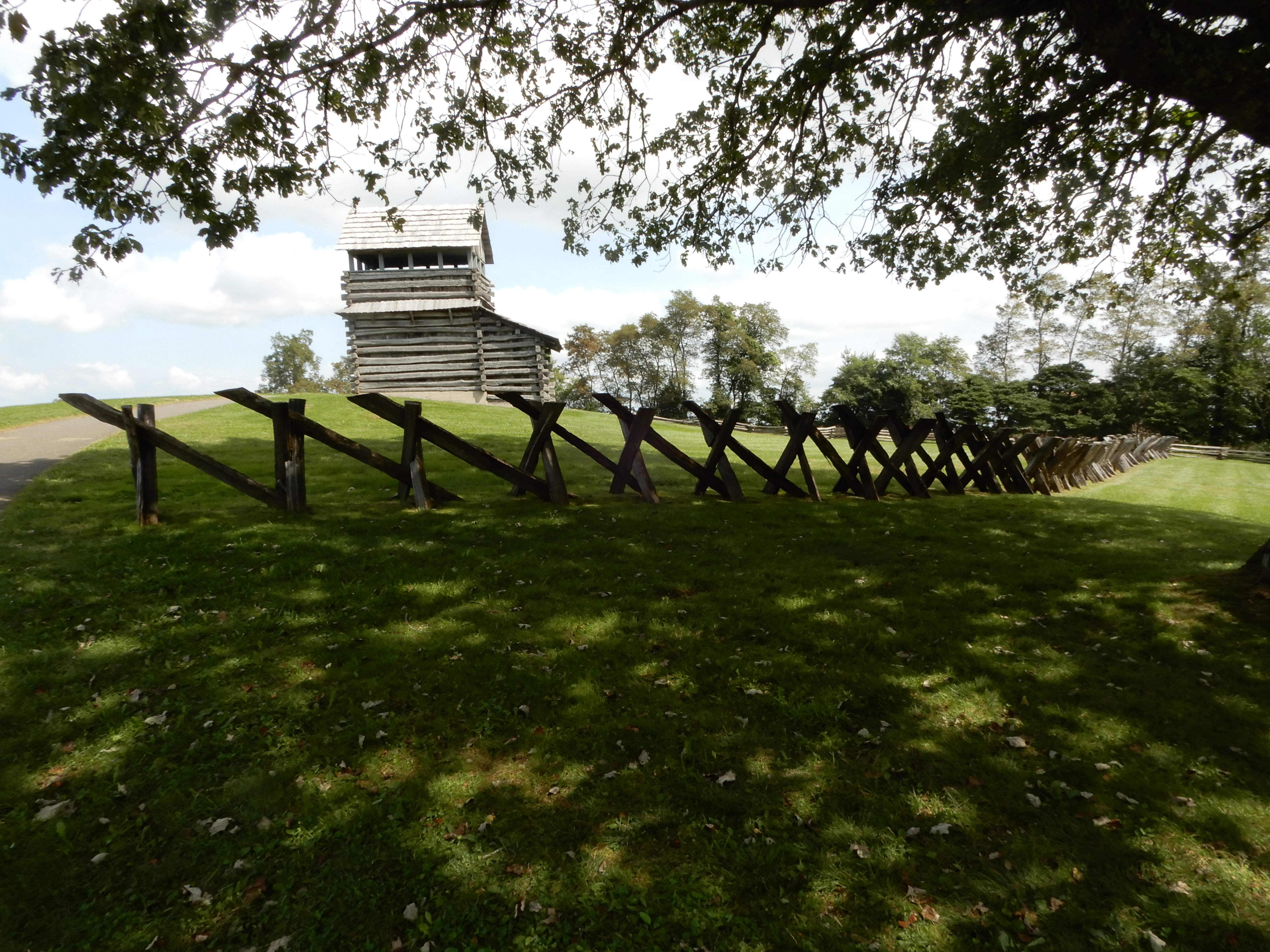
I don’t think it was big enough to serve as a fort.
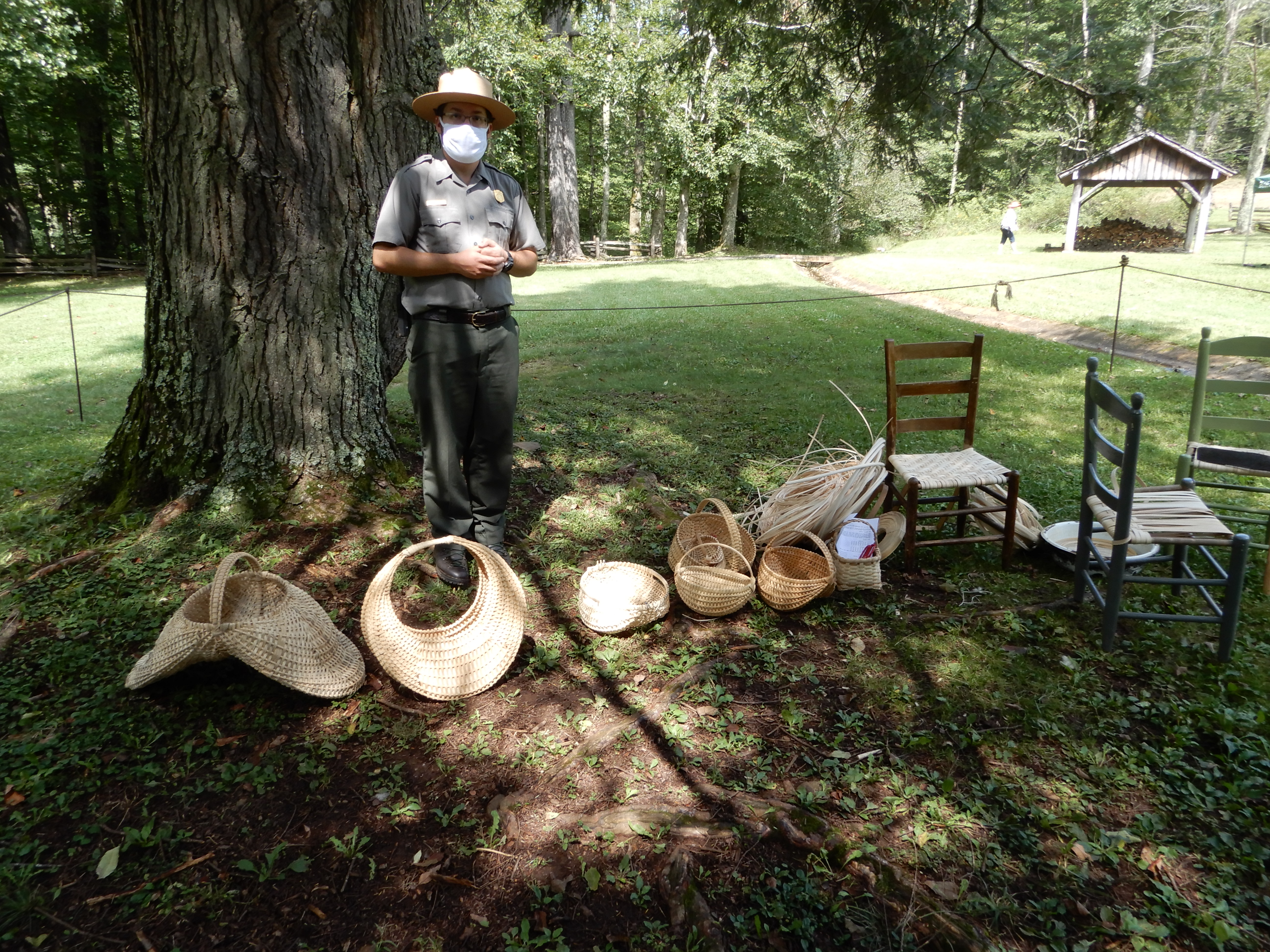
There was a ranger set up to sell handwoven baskets. I guess times were hard for park employees during Covid and they had to supplement their salaries.
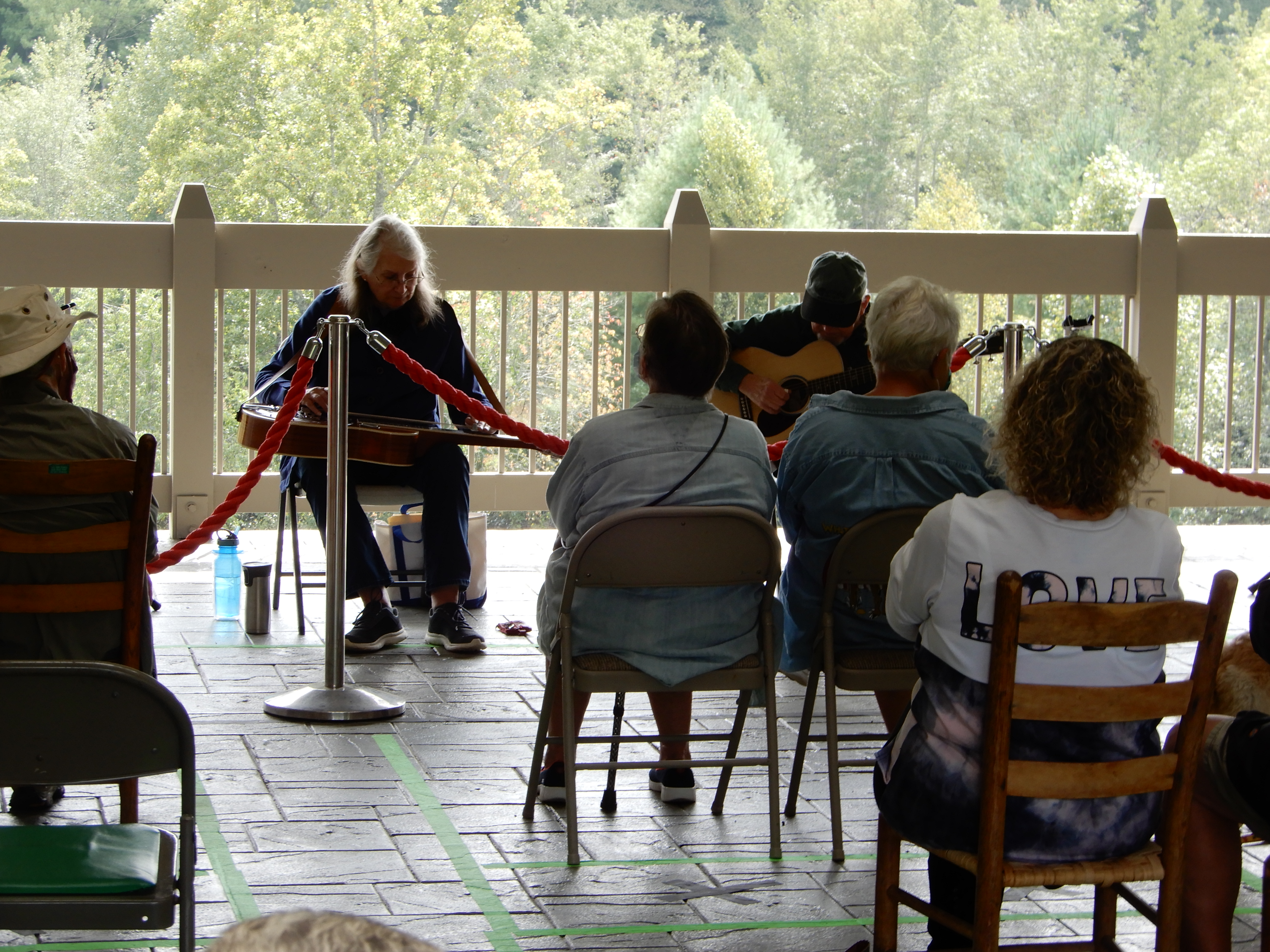
From there we drove on to the Blue Ridge Music Center.
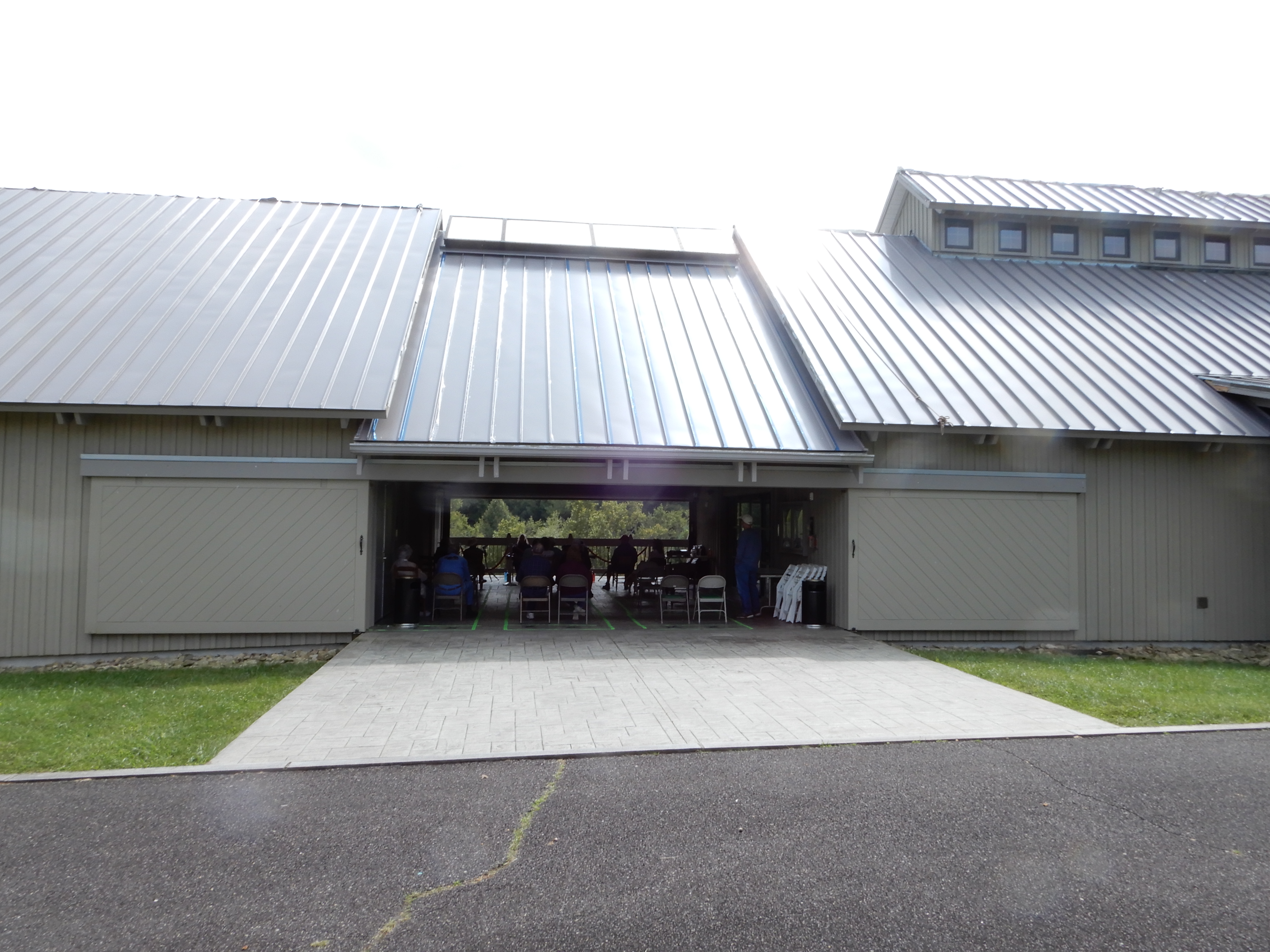
Where we heard some good bluegrass music.
American Locations 11: On the Blue Ridge Parkway, from Virginia into North Carolina
ped at Little Glade Mill Pond. We walked around it to give our legs a good stretch.

We hadn’t walked enough, so we followed the creek that fed into it for a short distance.

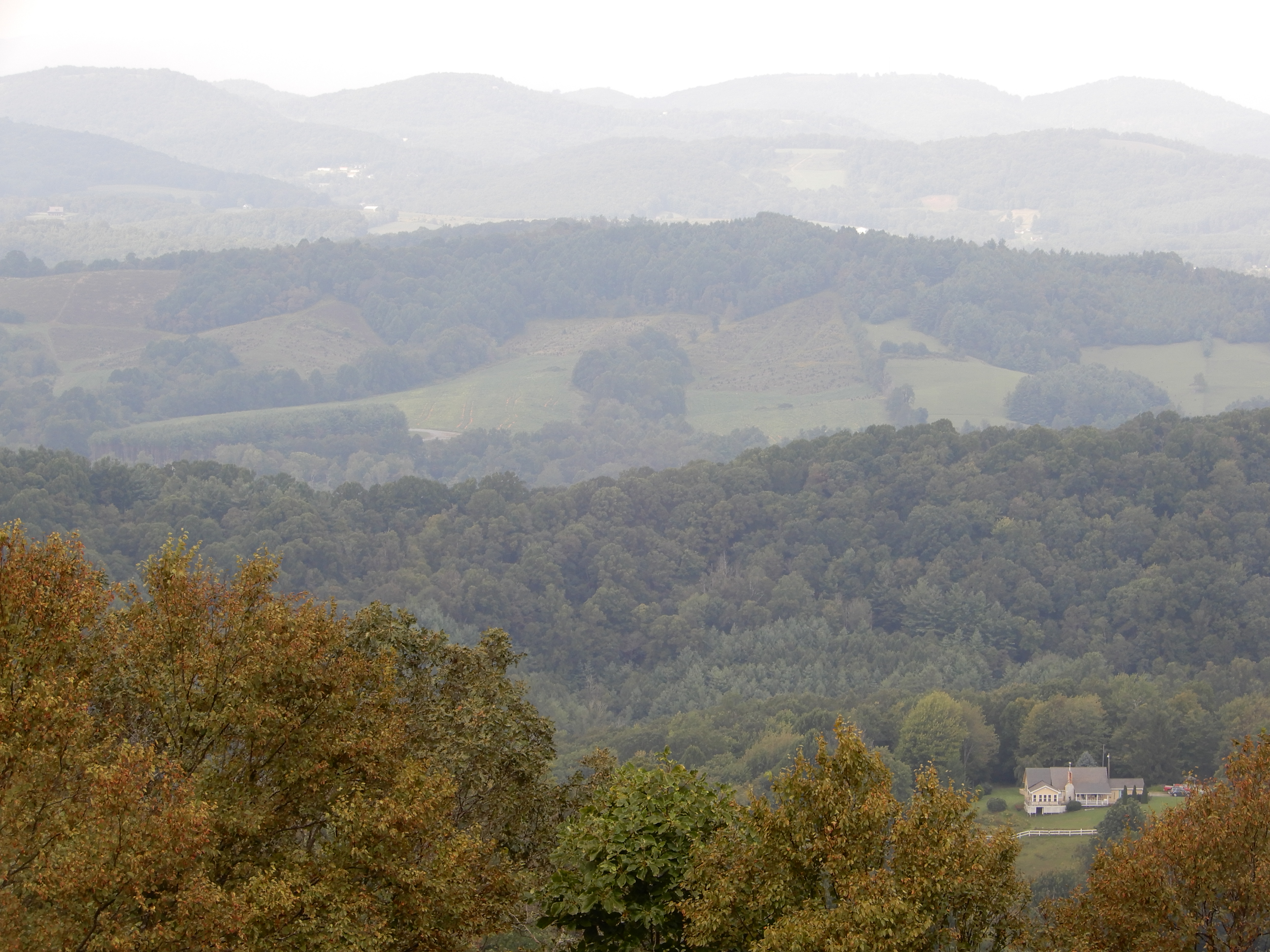
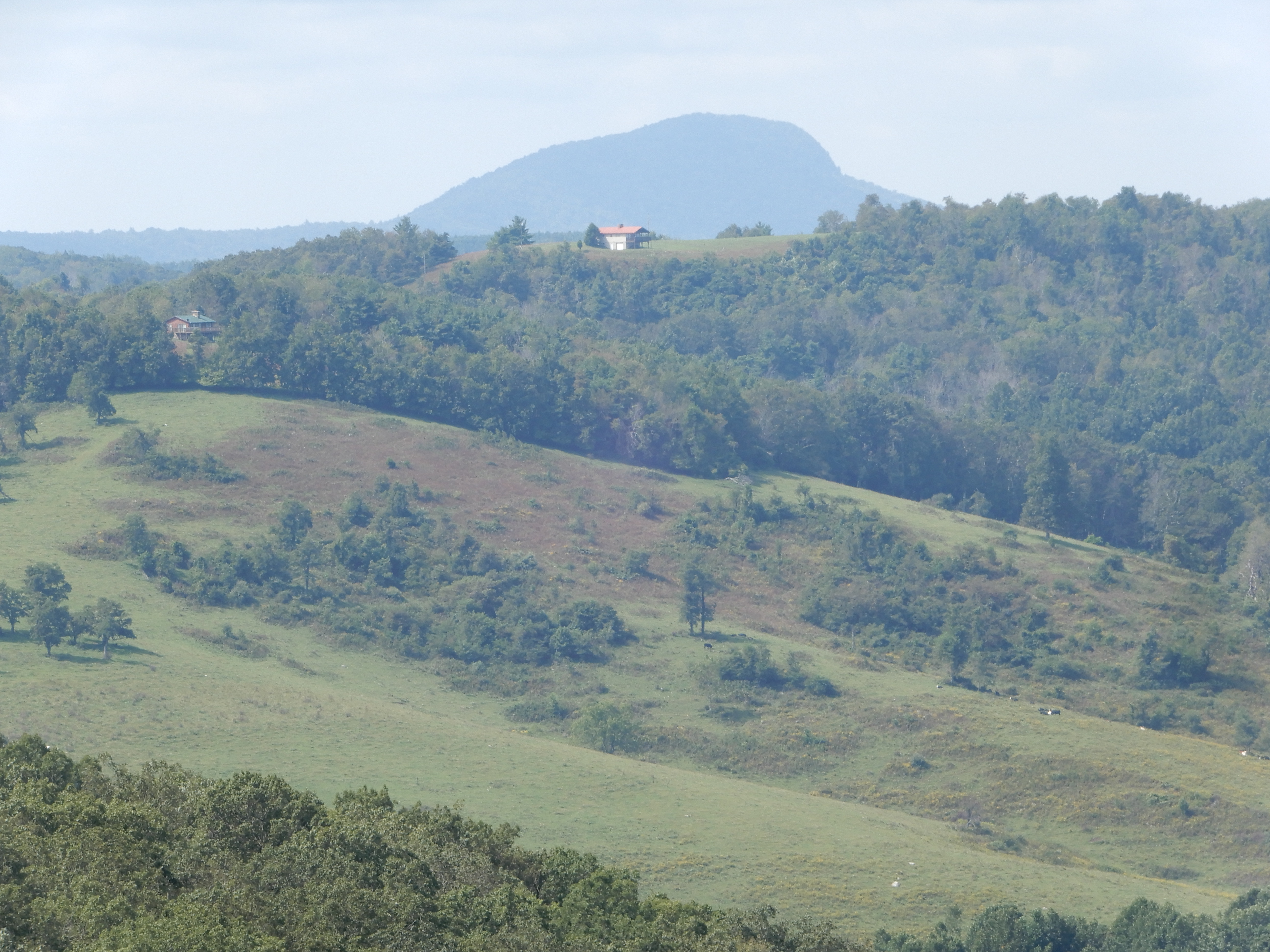
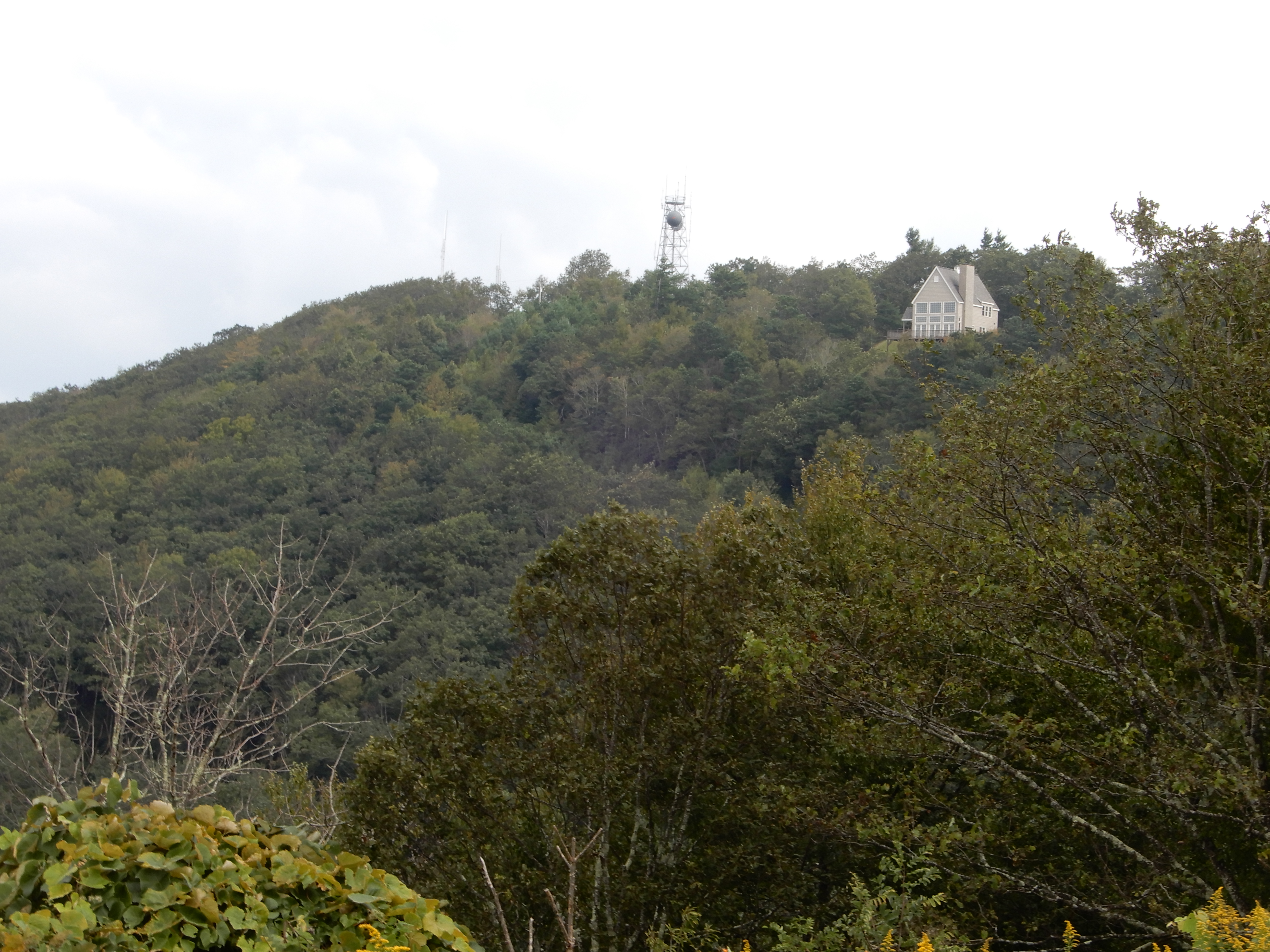
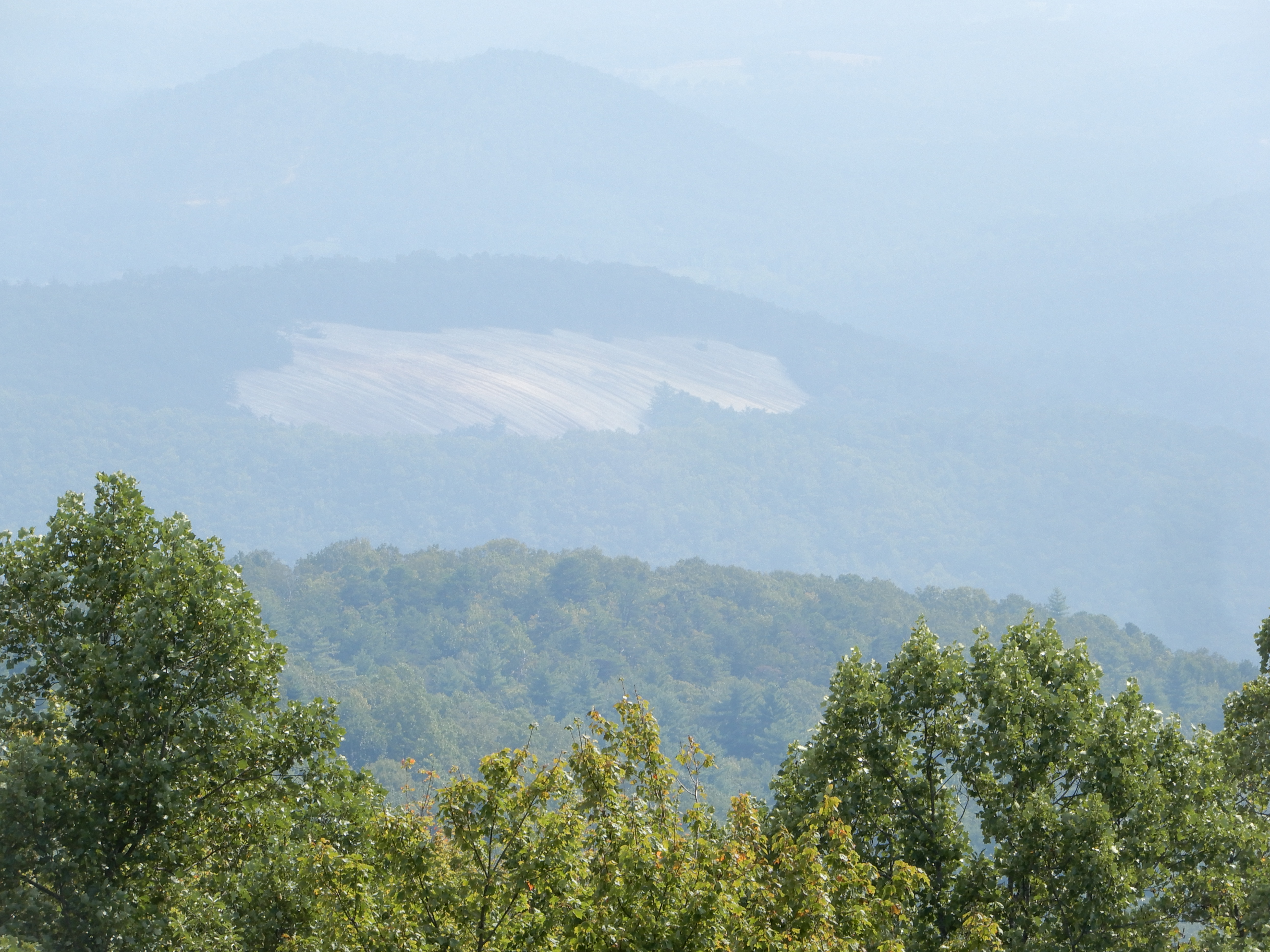
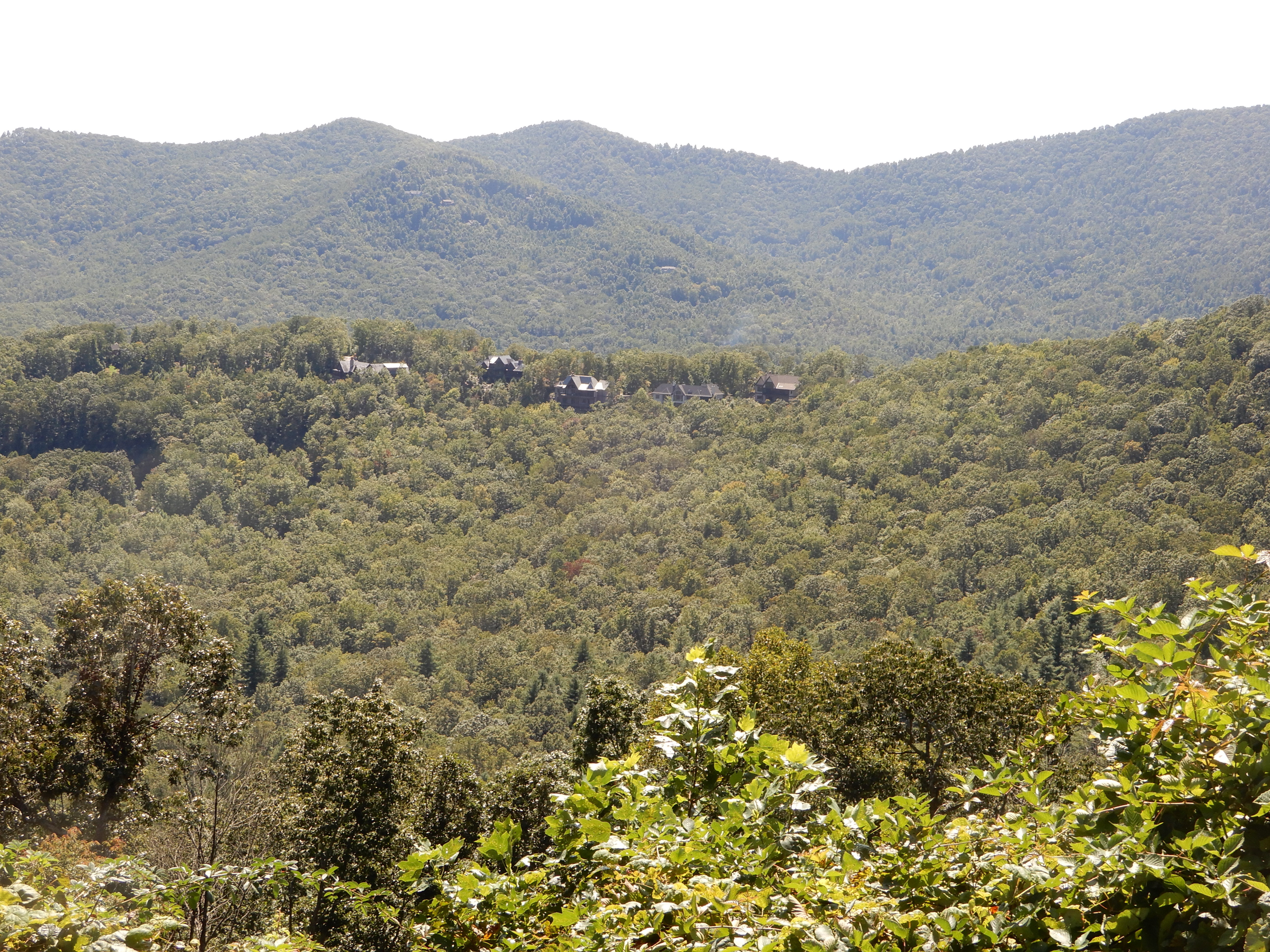
We got back into the motor home and continued south on the Parkway. This house set off by itself certainly had a good view,
We saw this unusual sight – bare rock surrounded by lush forest. No sign of a forest fire. Perhaps there was a coal deposit underground that had caught fire, making the ground above it too hot to support life? I’ve heard of that, and this was coal country.
Our next stop was the Berringer Cabin.
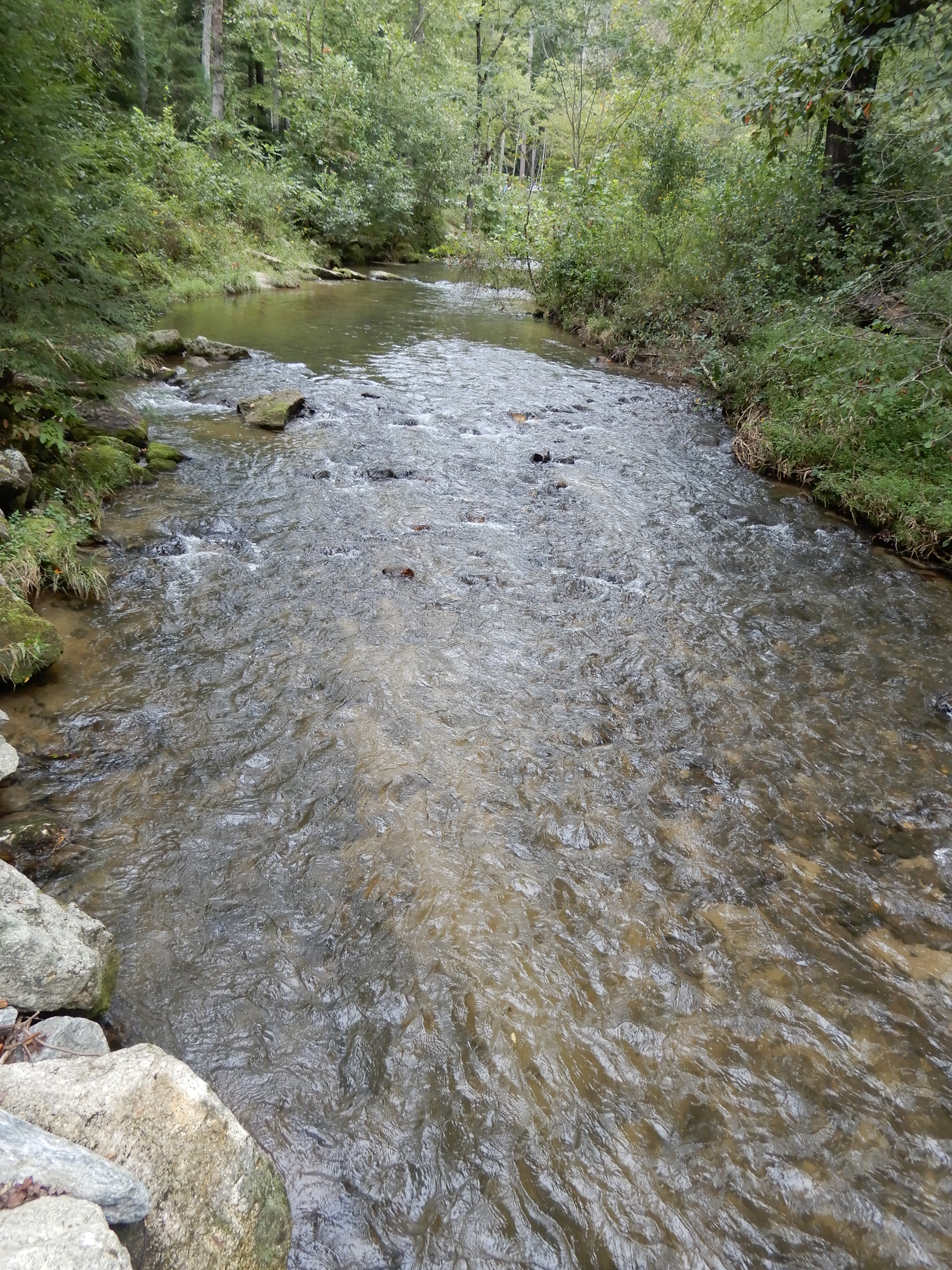
Then we found out Doughton Park Campground at MM243, where we had intended to camp, was closed. So we backtracked 11 miles and got off the Parkway to drive to Stone Mountain State Park. It was a winding twisty way to get there as it was deep in the mountains. They were full, but the park ranger directed us to a private campground. To get there we had to drive all the way through the park, another nice drive. We got a site at Stone Cedar, a small place just outside the park at the foot of a mountain next to a fast-running stream. Beautiful. After dinner I had a fire and sat out until it was pitch black.

American Locations 12 – Stone Mountain State Park, North Carolina
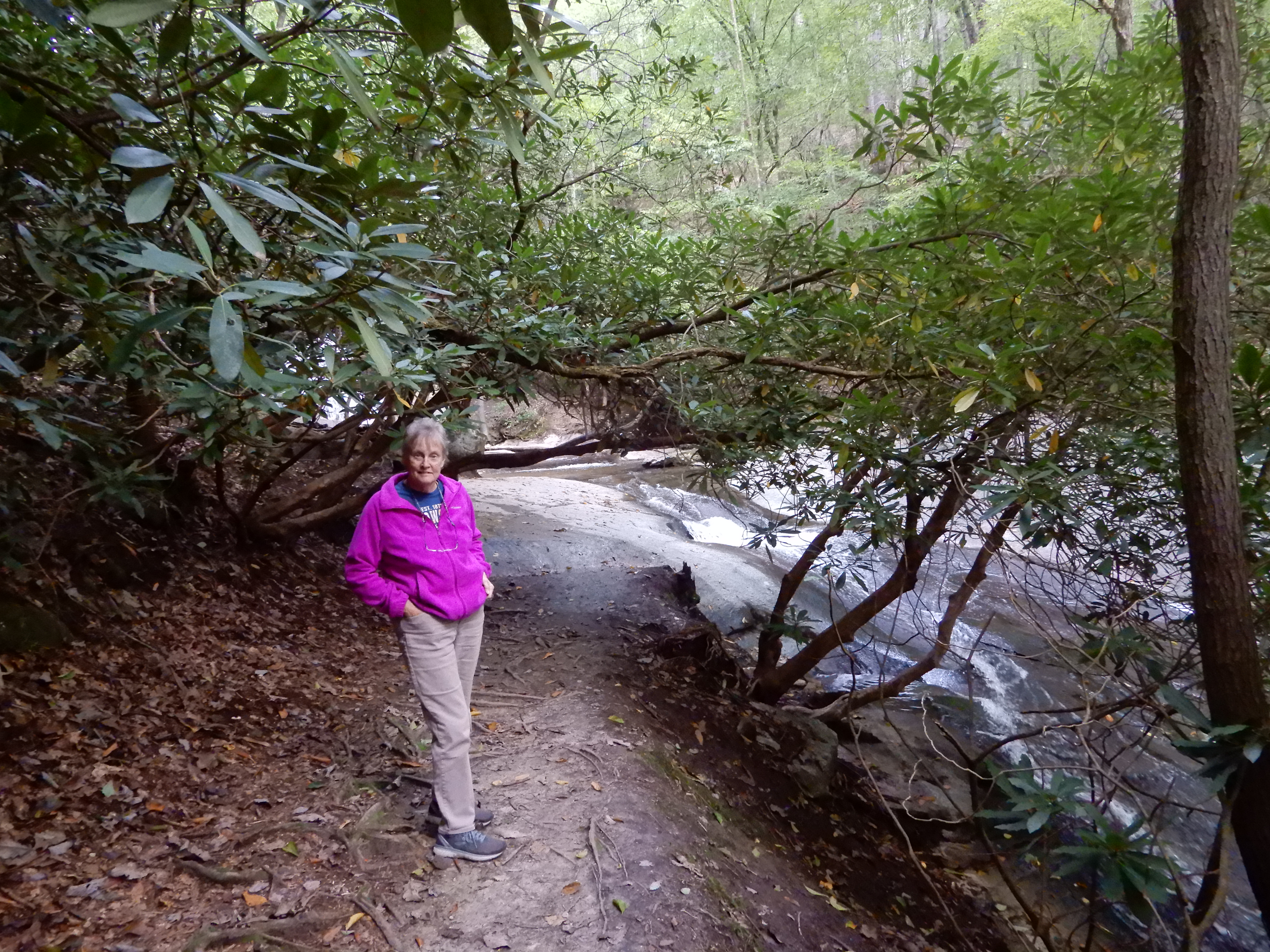
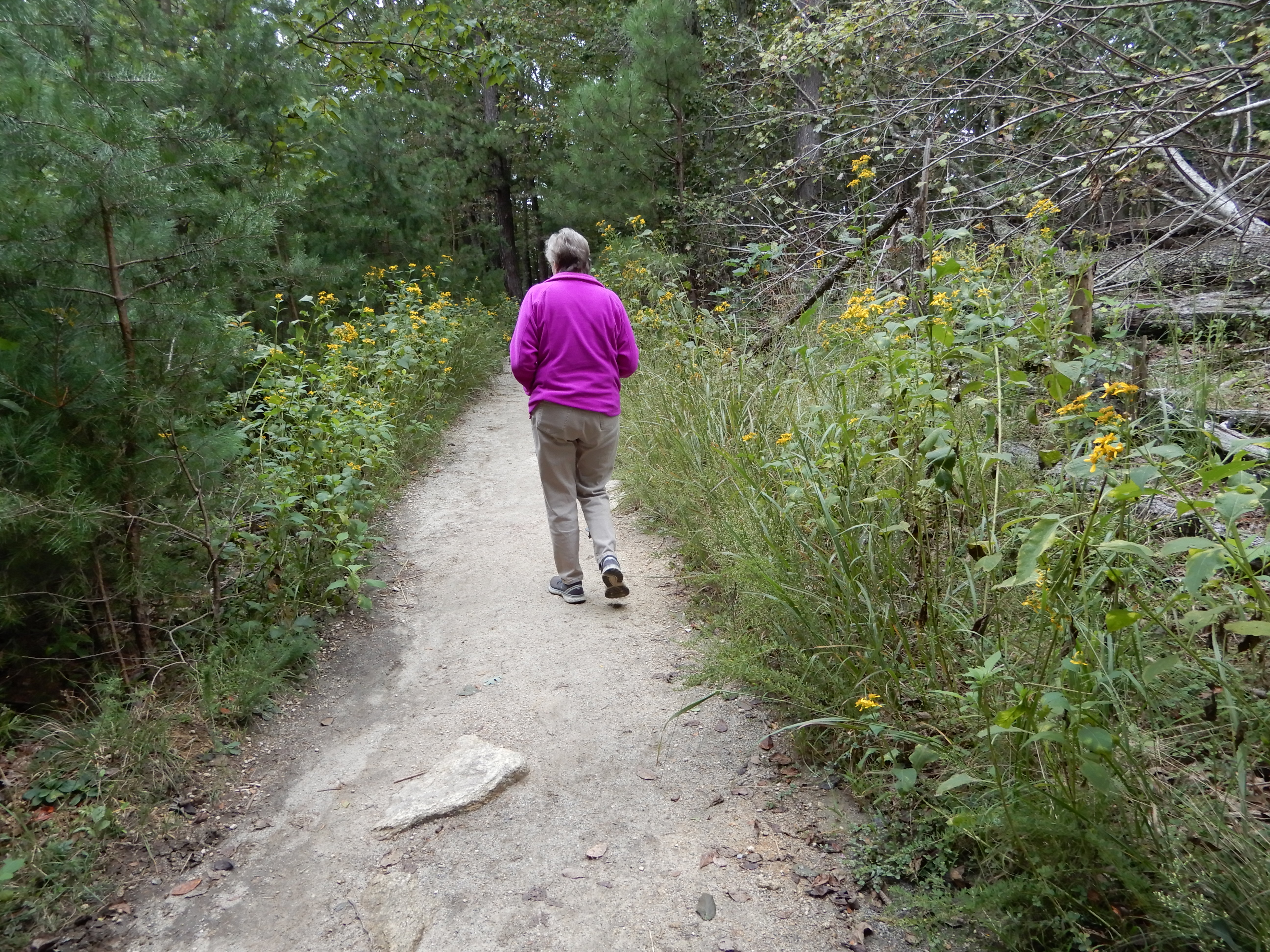
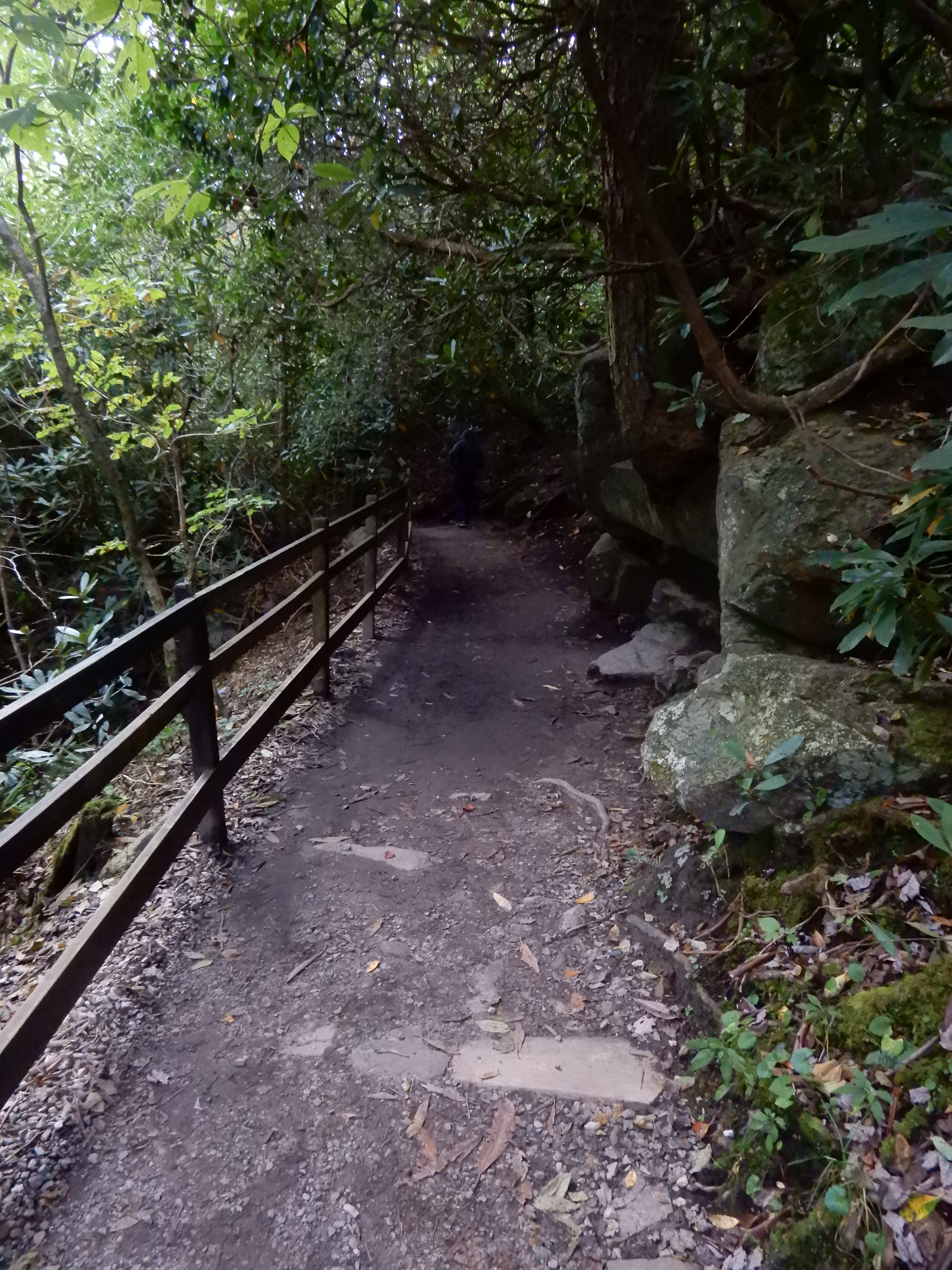
The next morning we drove into Stone Mountain State Park through the back entrance. We stopped to take a short hike to see Widow Creek Falls.
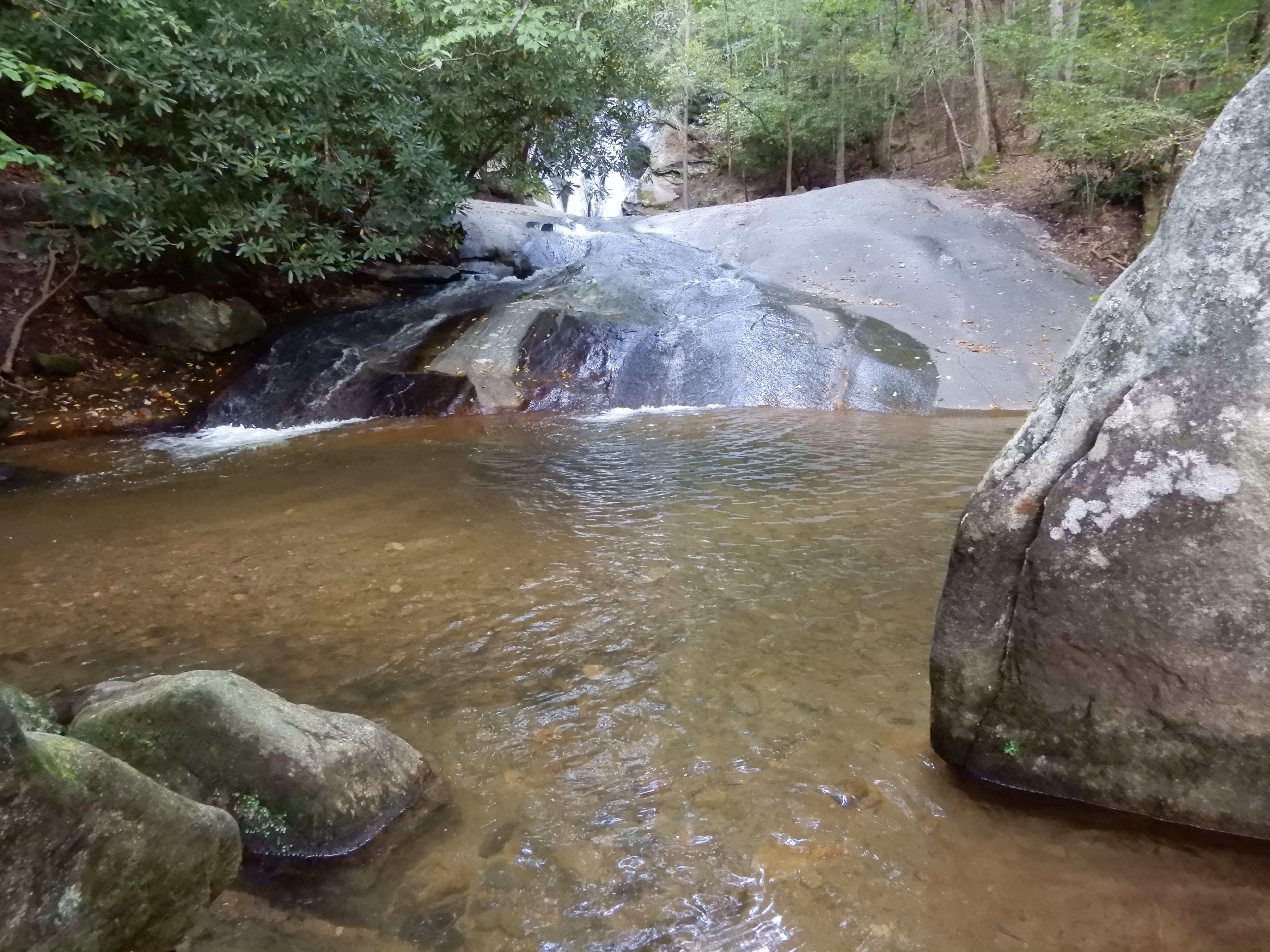
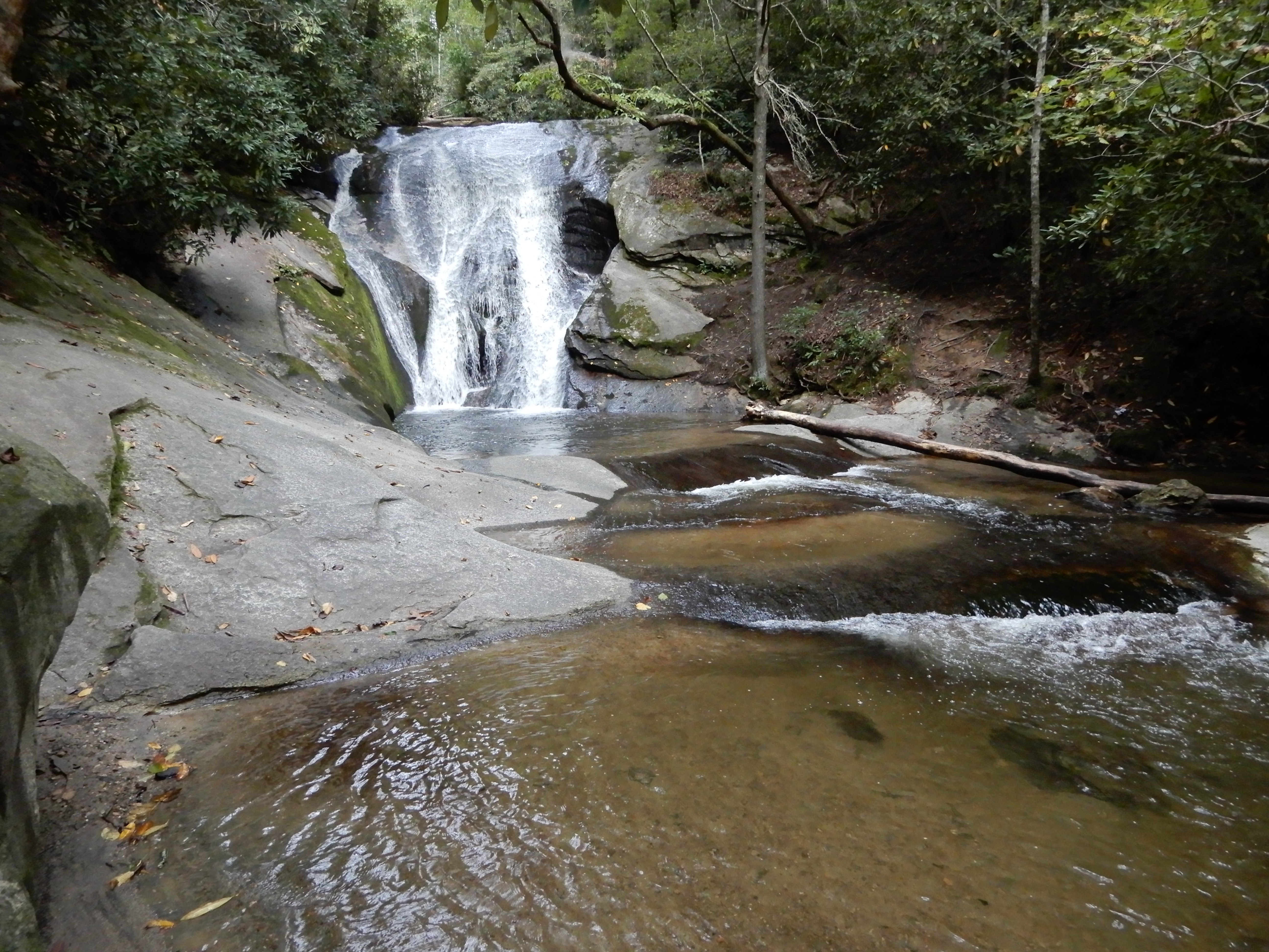
After, we continued on to see Stone Mountain Falls. We parked in the upper lot and took a moderate 2-mile hike.
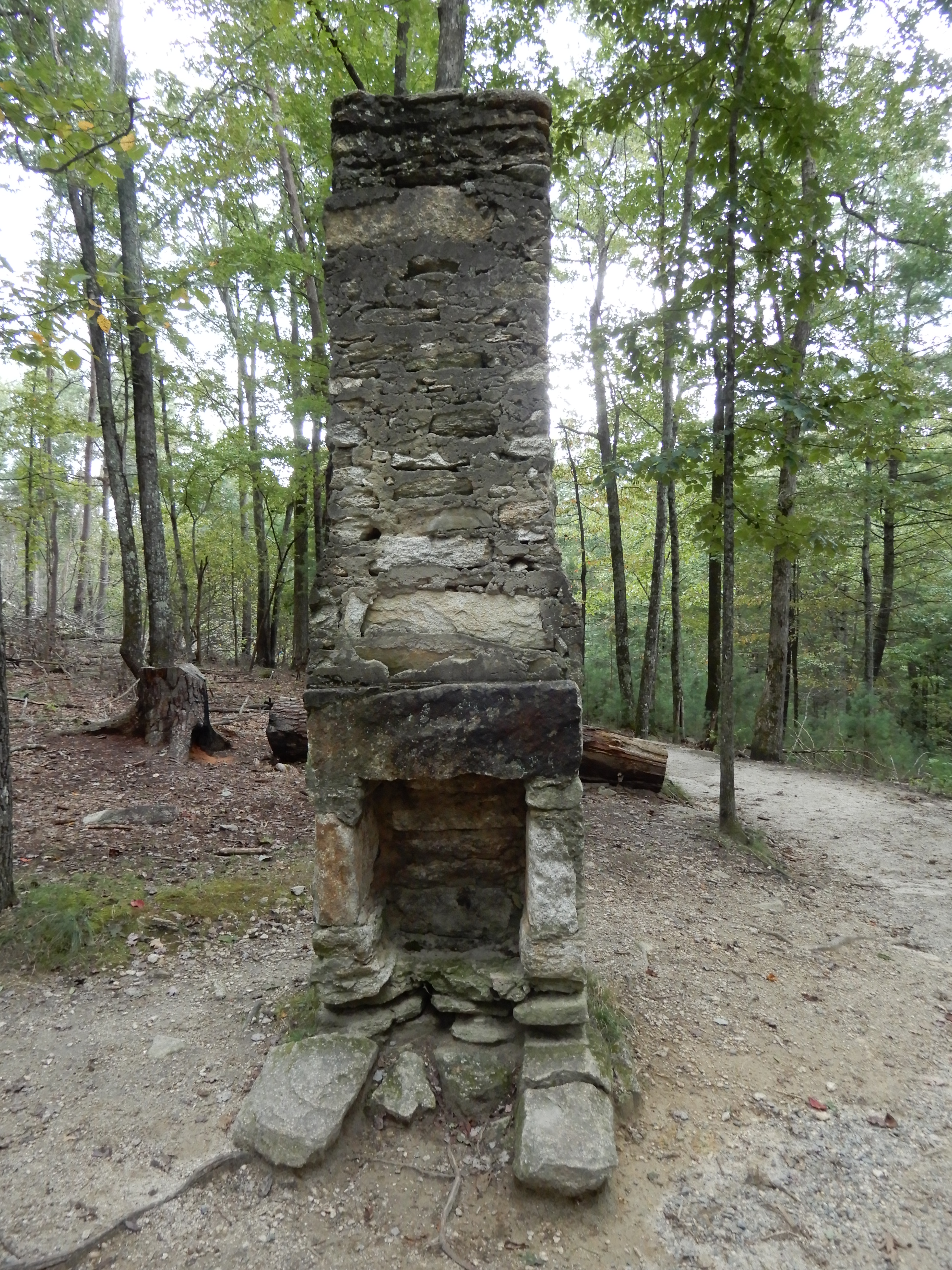
It took us by the remains of a cabin.
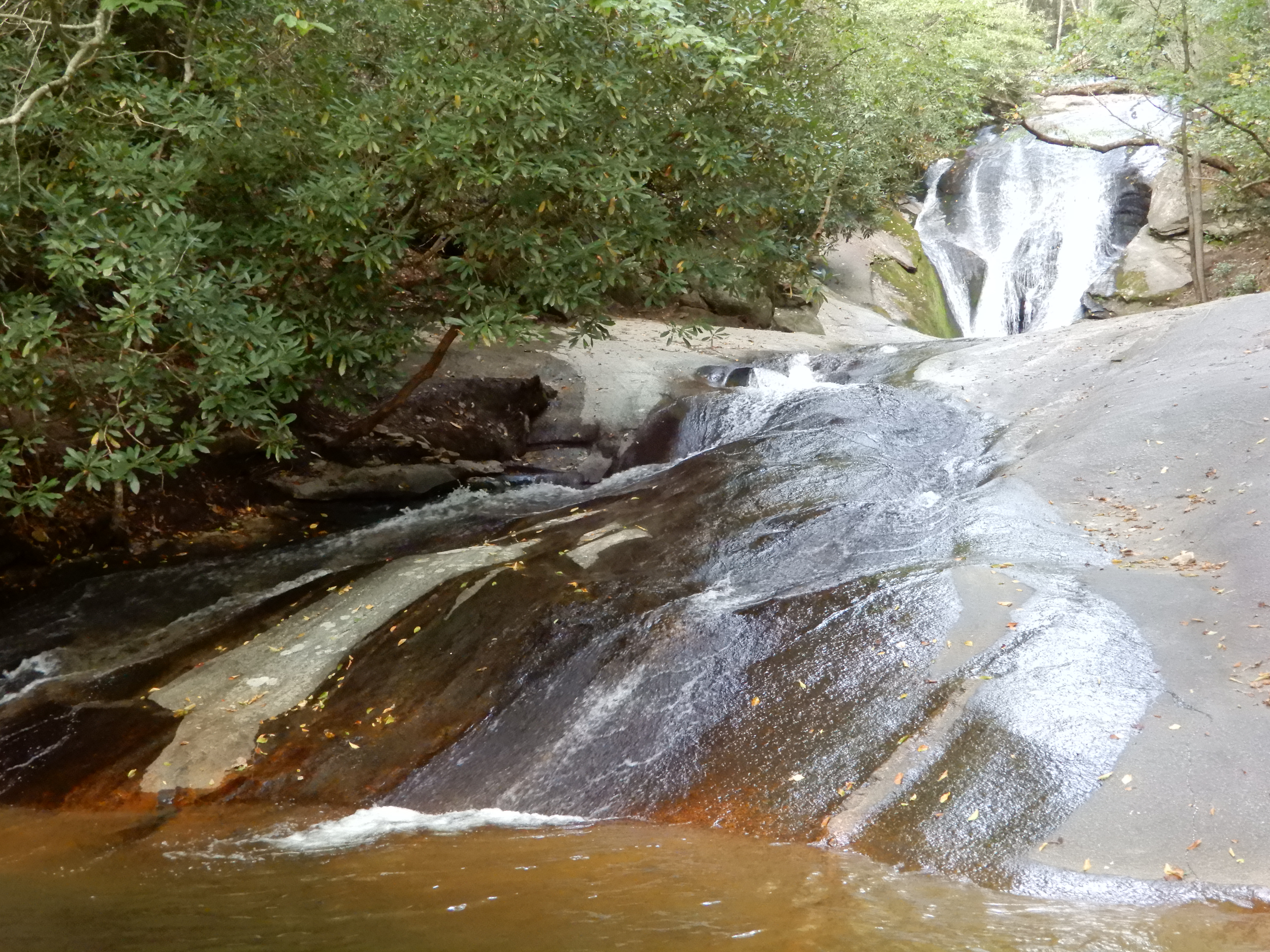
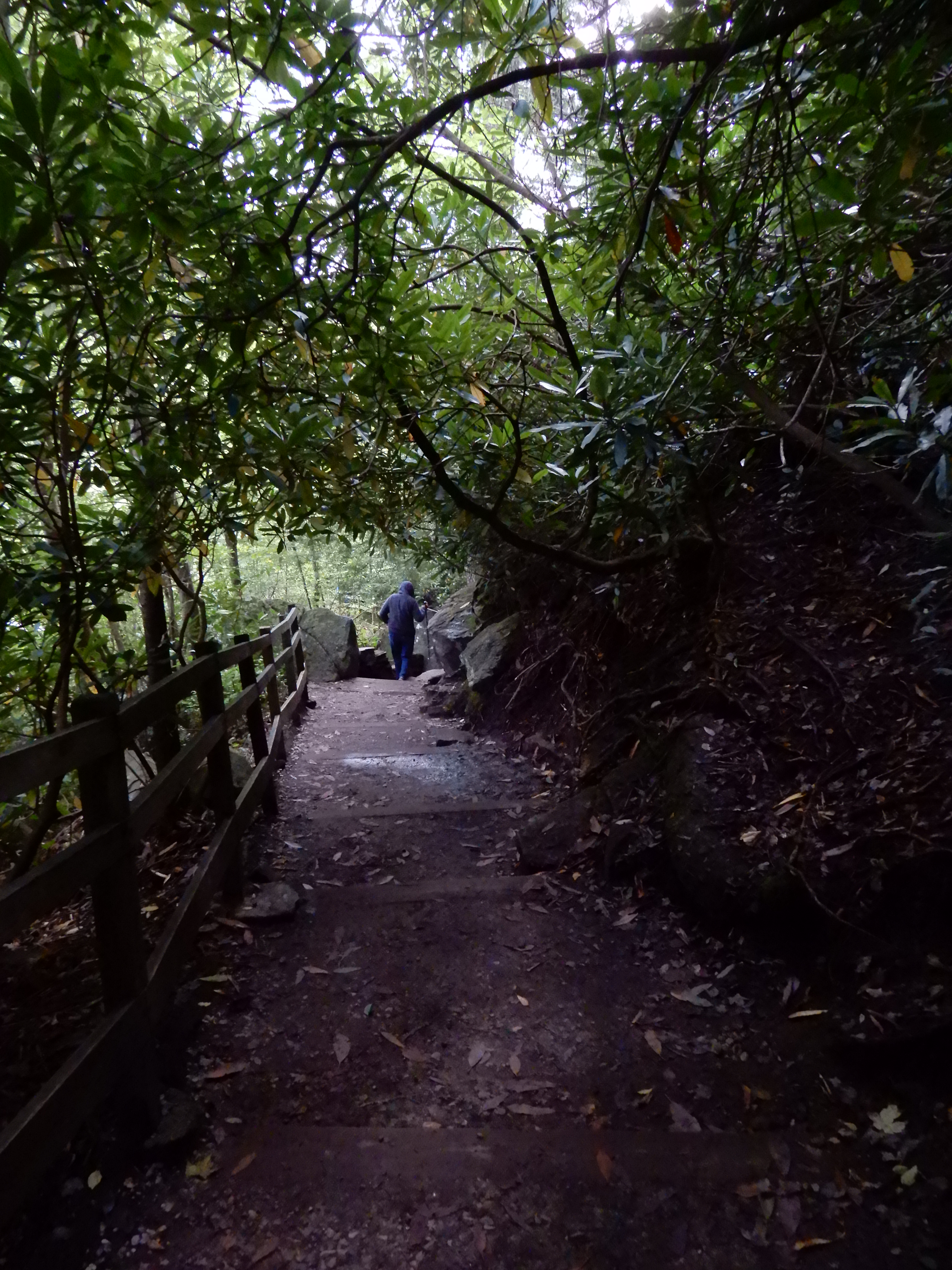
On to the top of the falls.
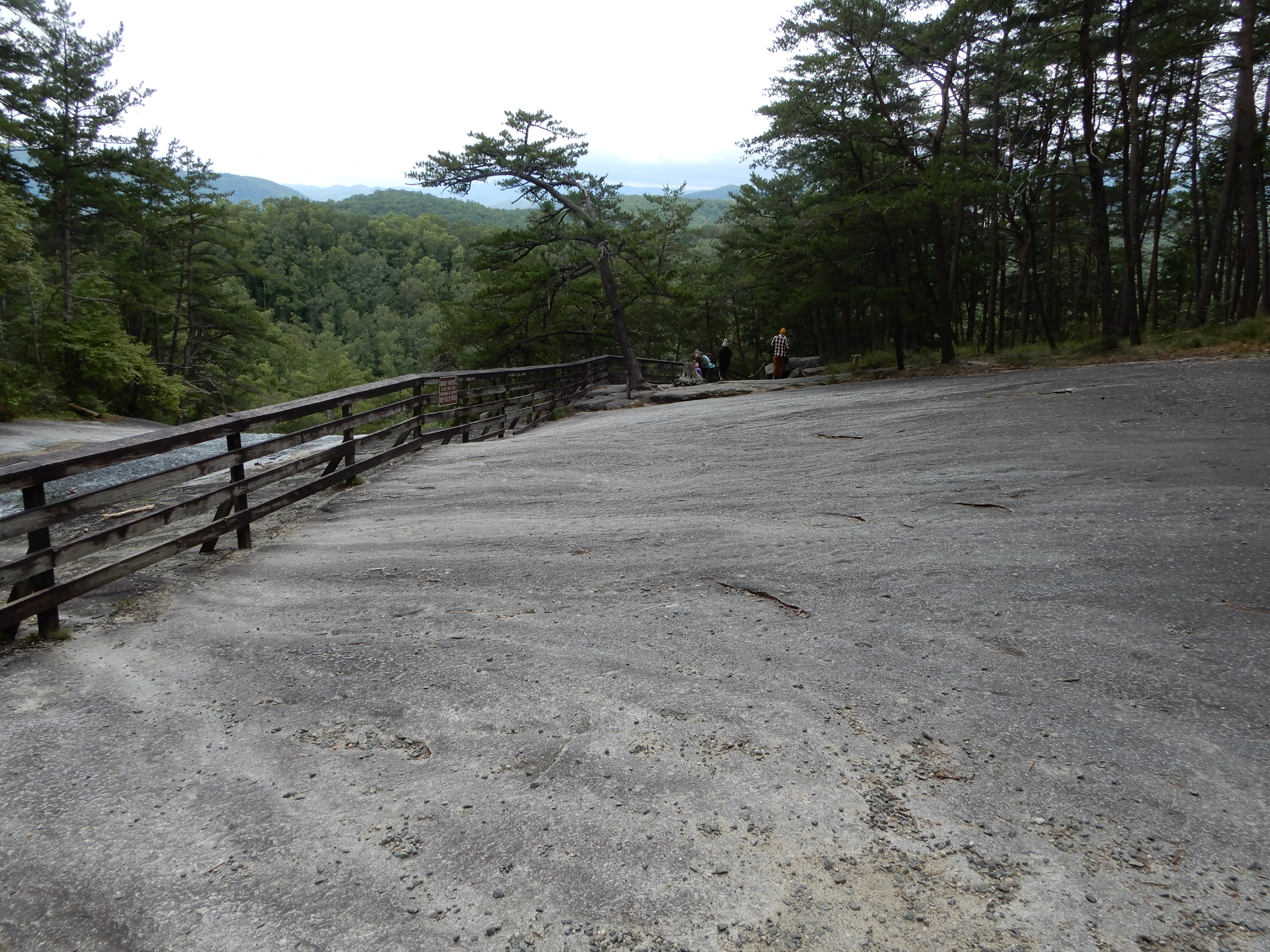
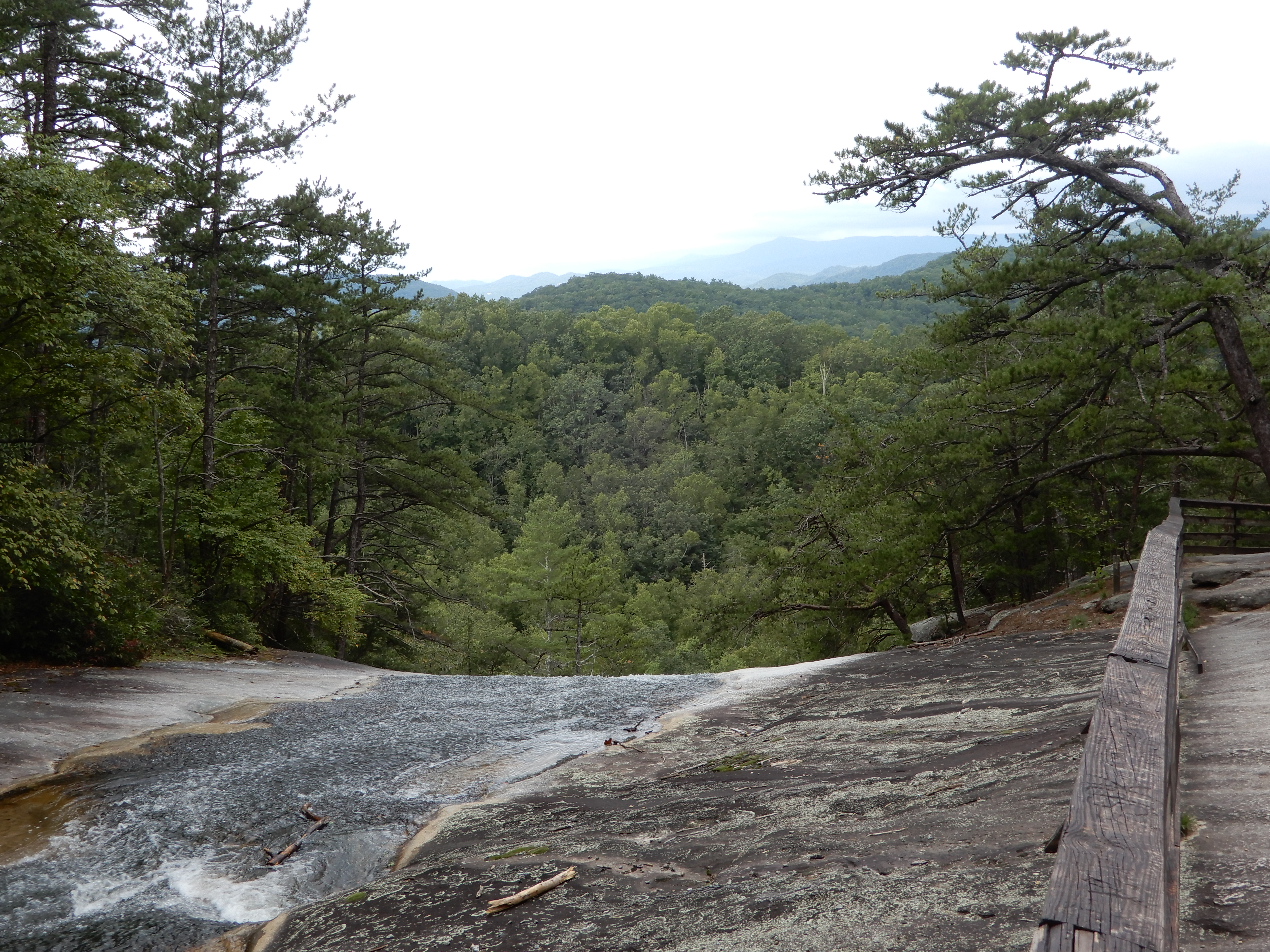
The falls were amazing, 200 feet down across a stone face.
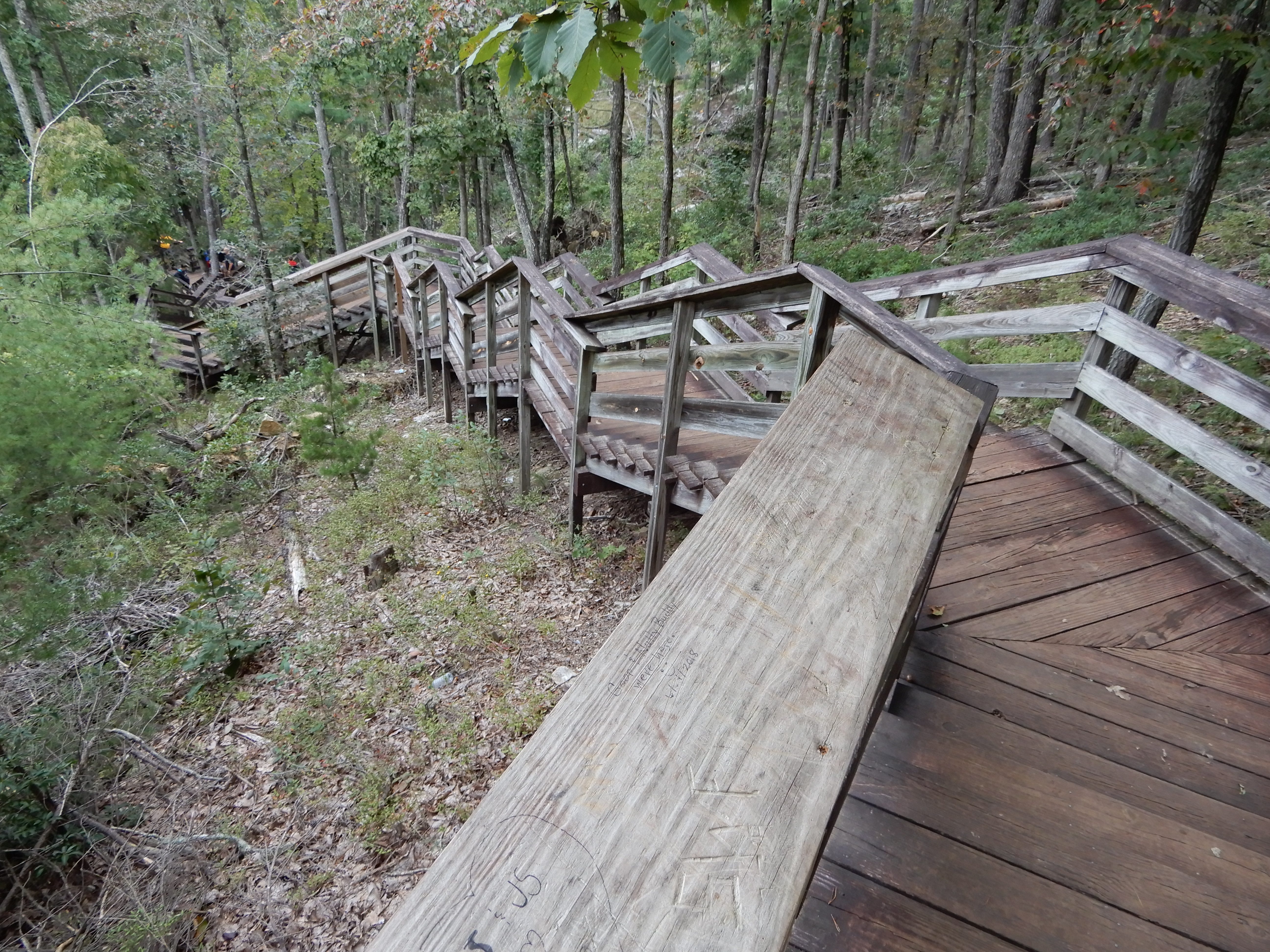
We didn’t walk down to the bottom, there were too many stairs.
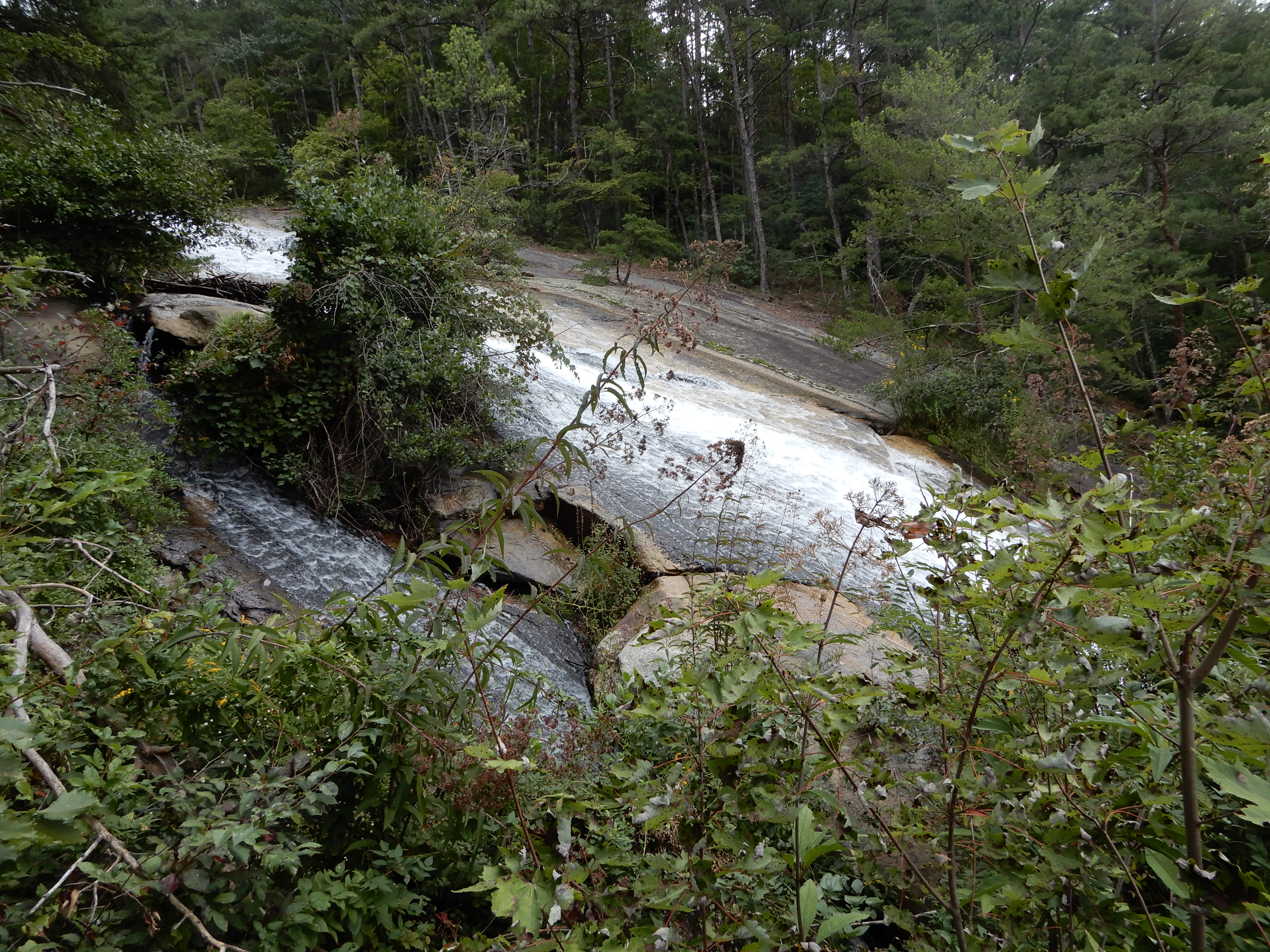
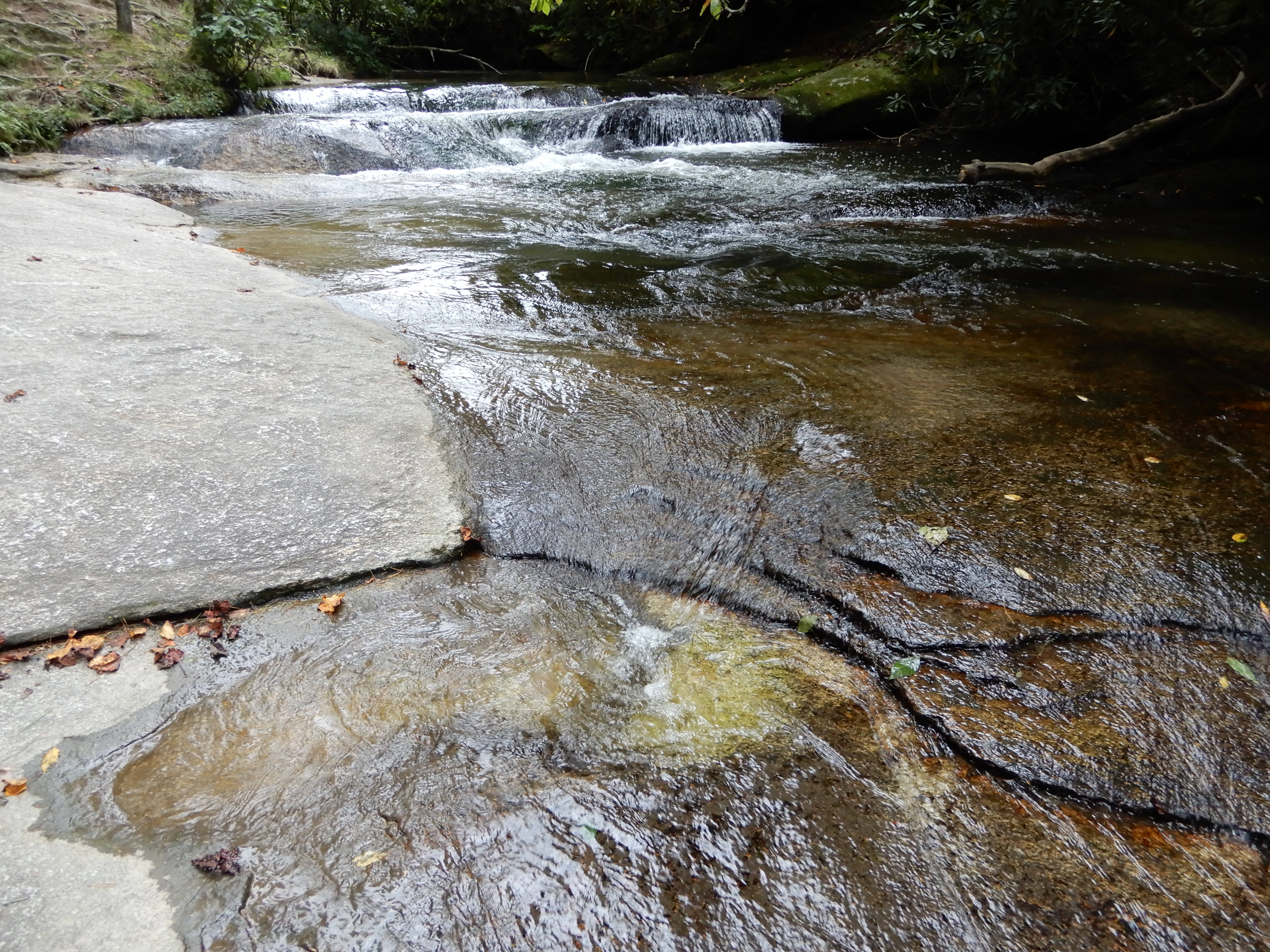
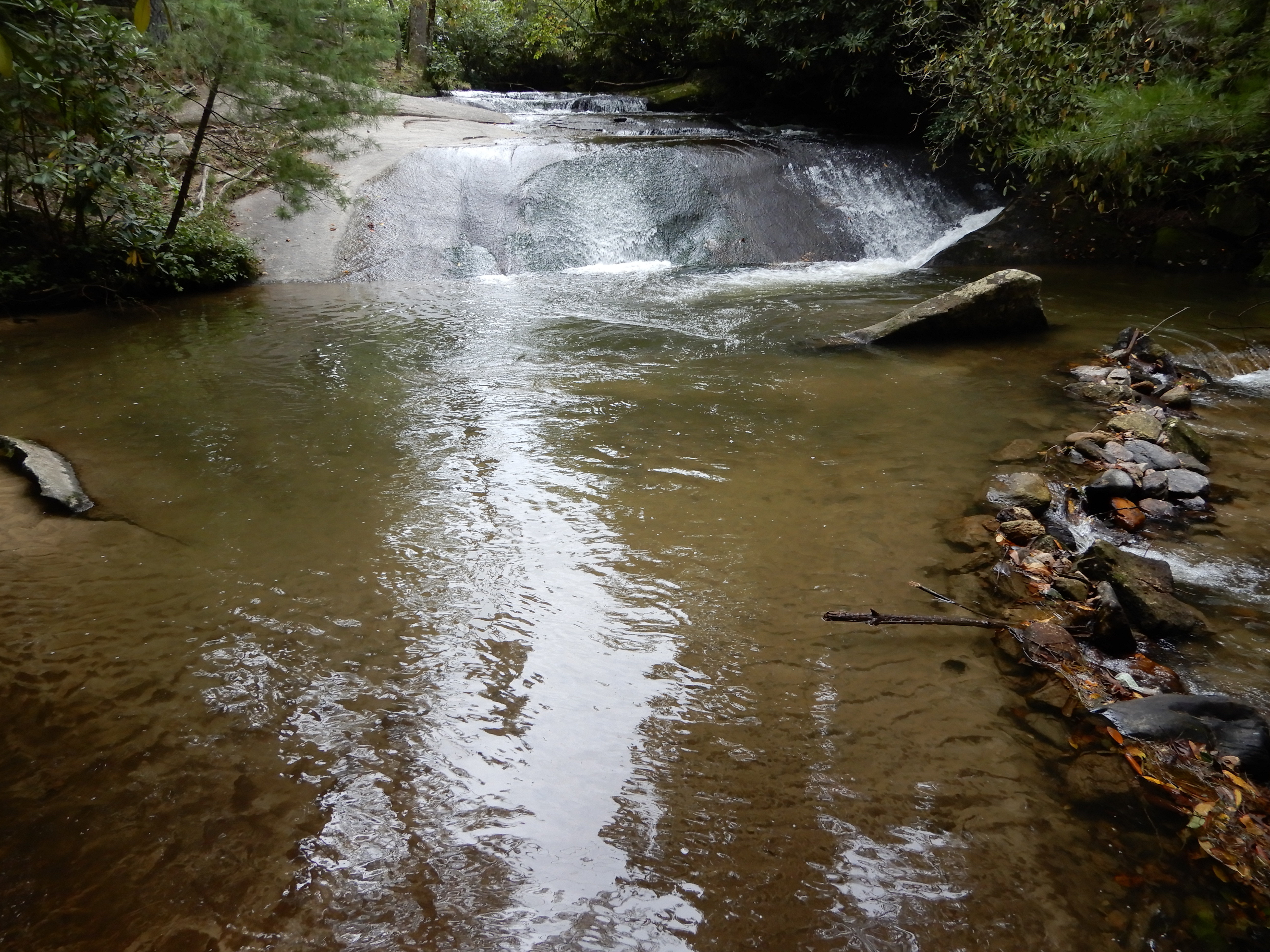
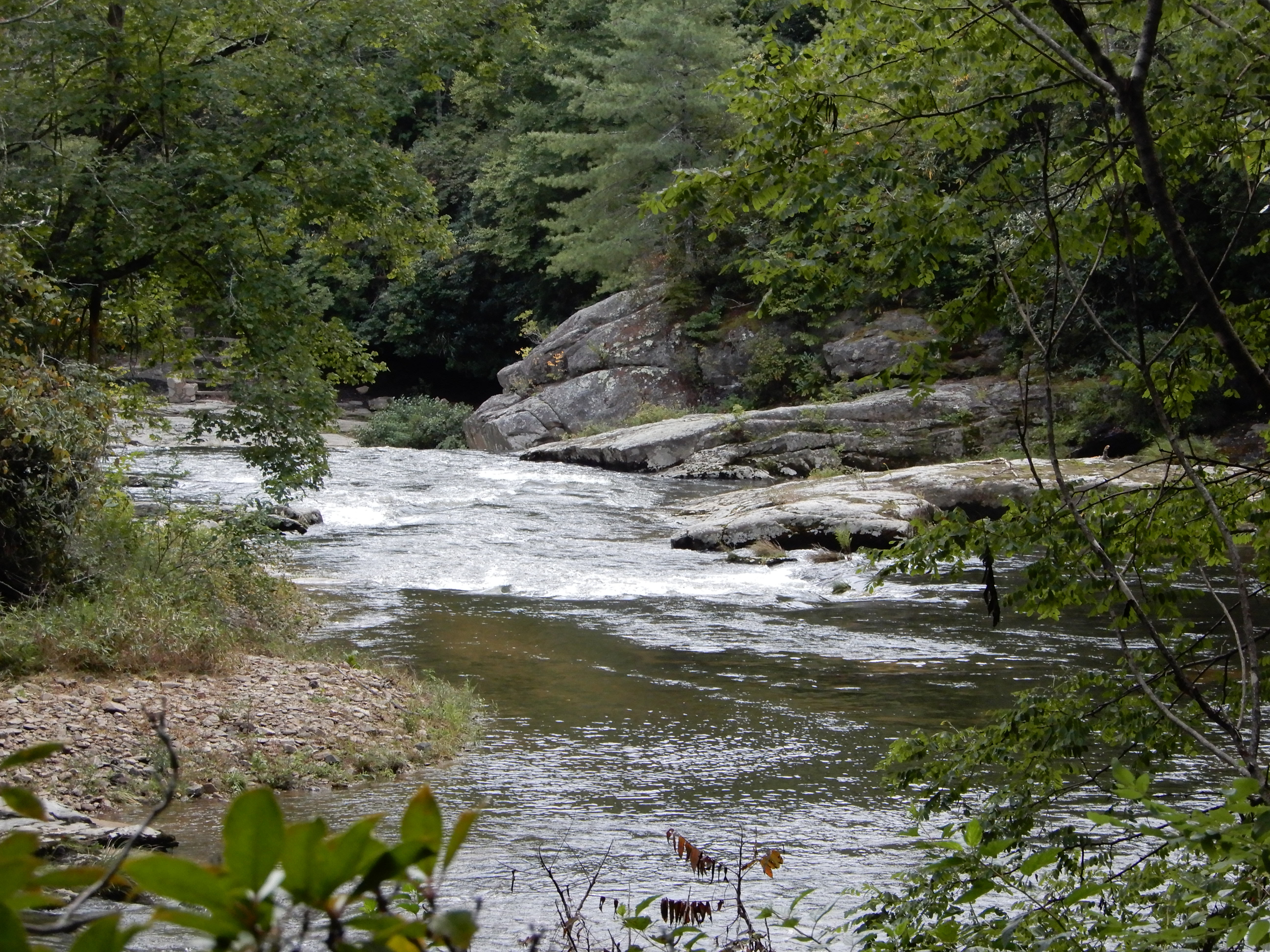
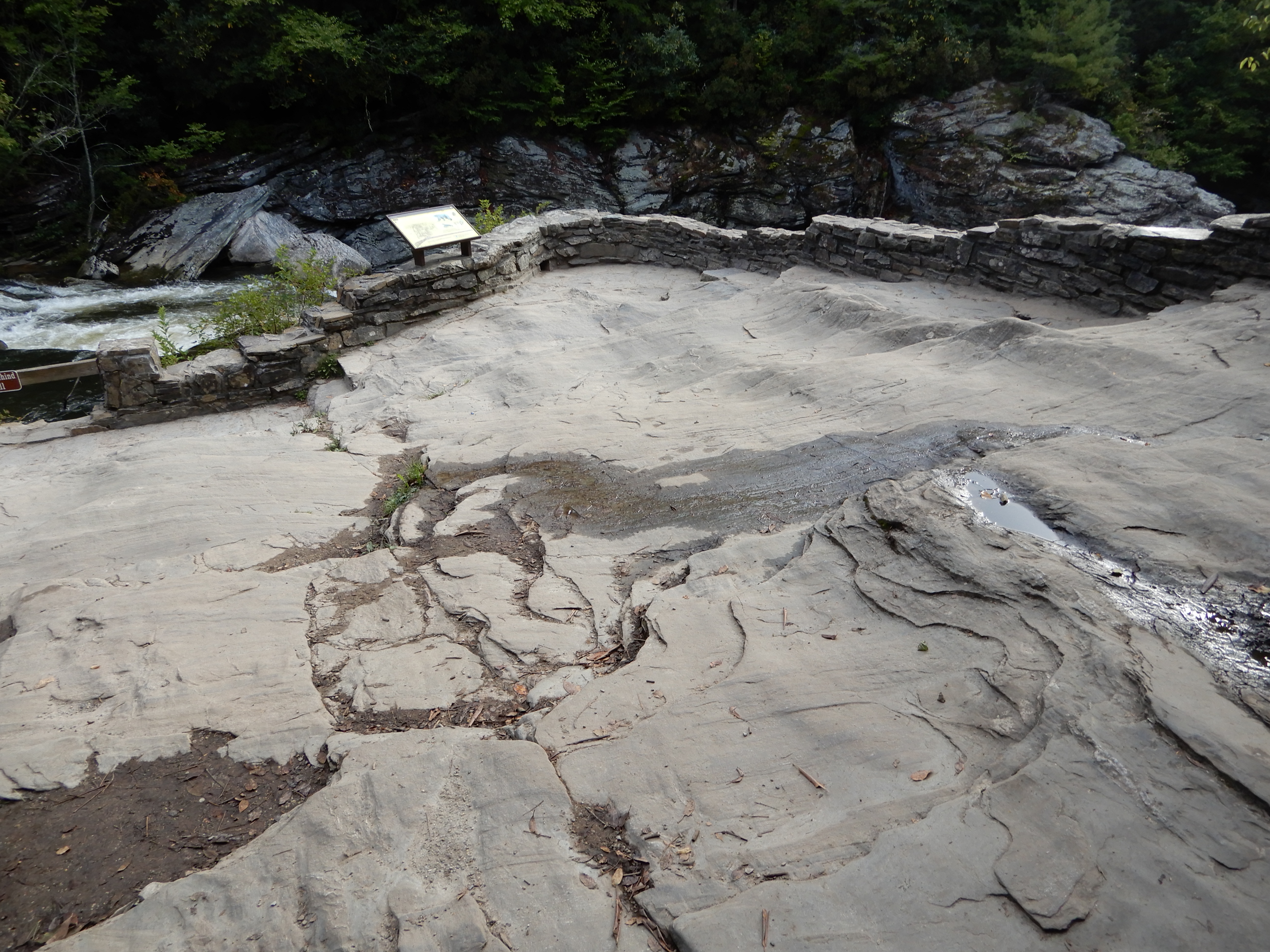
Returning to our motor home, we ate lunch and rested in the parking lot. On the way back out of the park we stopped to see some cascades on the side of the road.
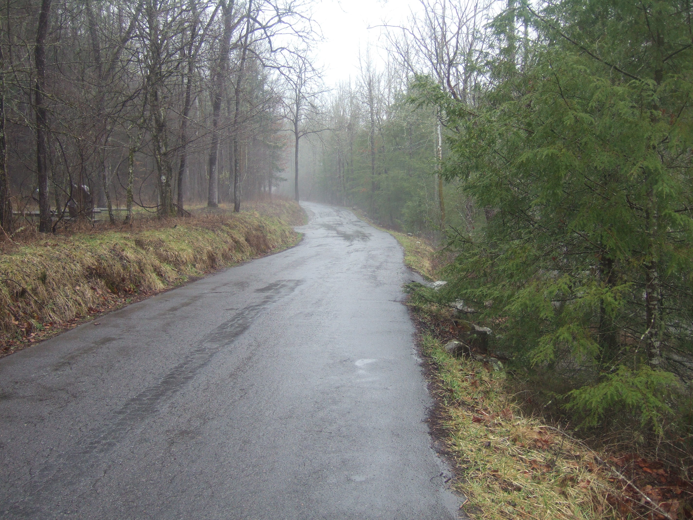
We tried to drive back to Cedar Stone Campground, but the back entrance was closed. We learned from a ranger that the park had become too crowded and Covid regulations forced them to close all entrances and exits except one. So we drove all the way back through the park to the front entrance. Sure enough, the police were directing traffic, allowing one car in whenever one car left the park. There was a line of several dozen cars waiting to get in. We wound our way through the country back to our campground, thank Garmin. It took us down this one narrow gravel road, but it was only a half-mile. We set back up at our site and spent the rest of the day there. We walked around the campground along the creek.
American Locations 13 – South along the Blue Ridge Parkway, North Carolina
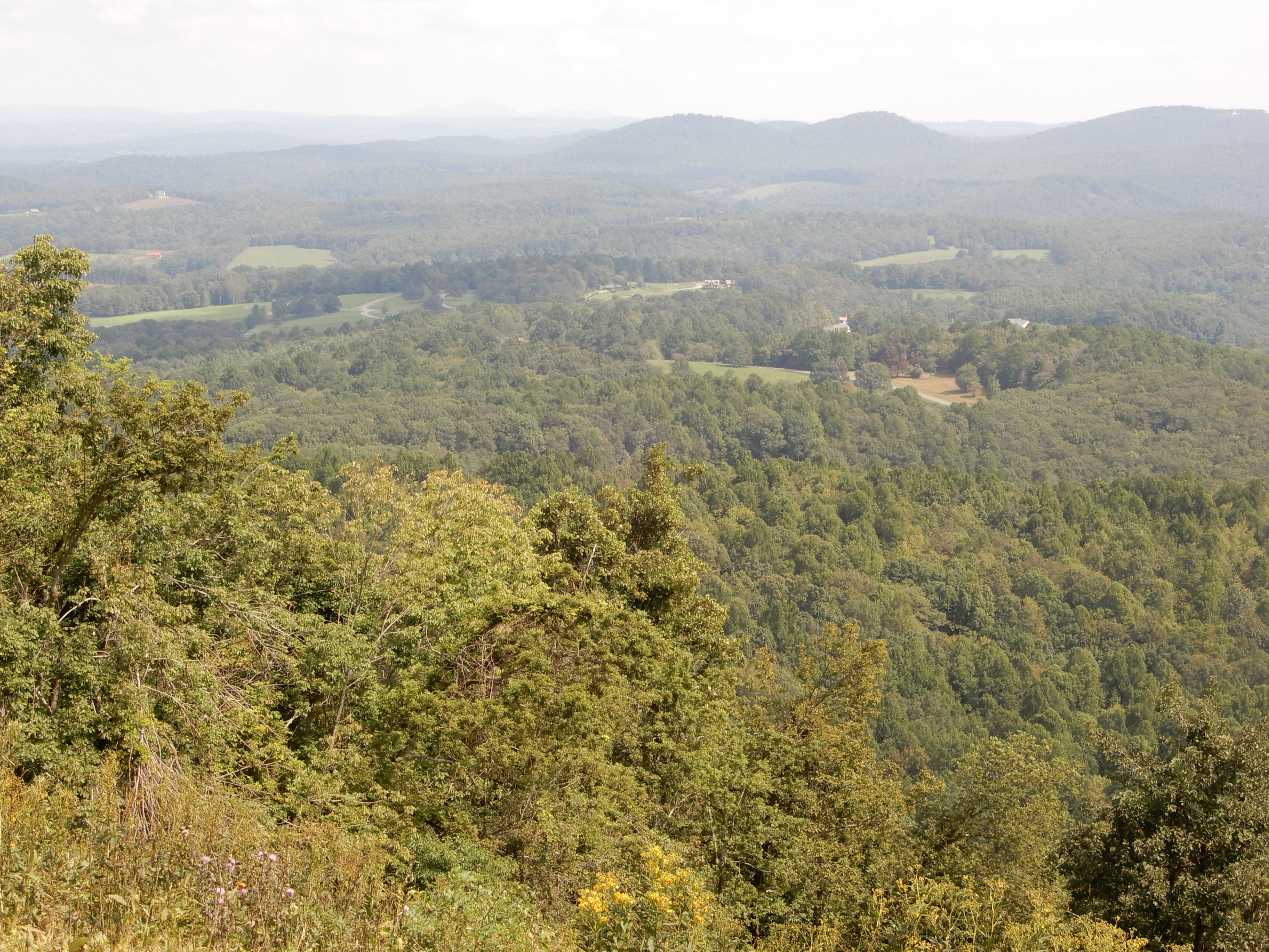
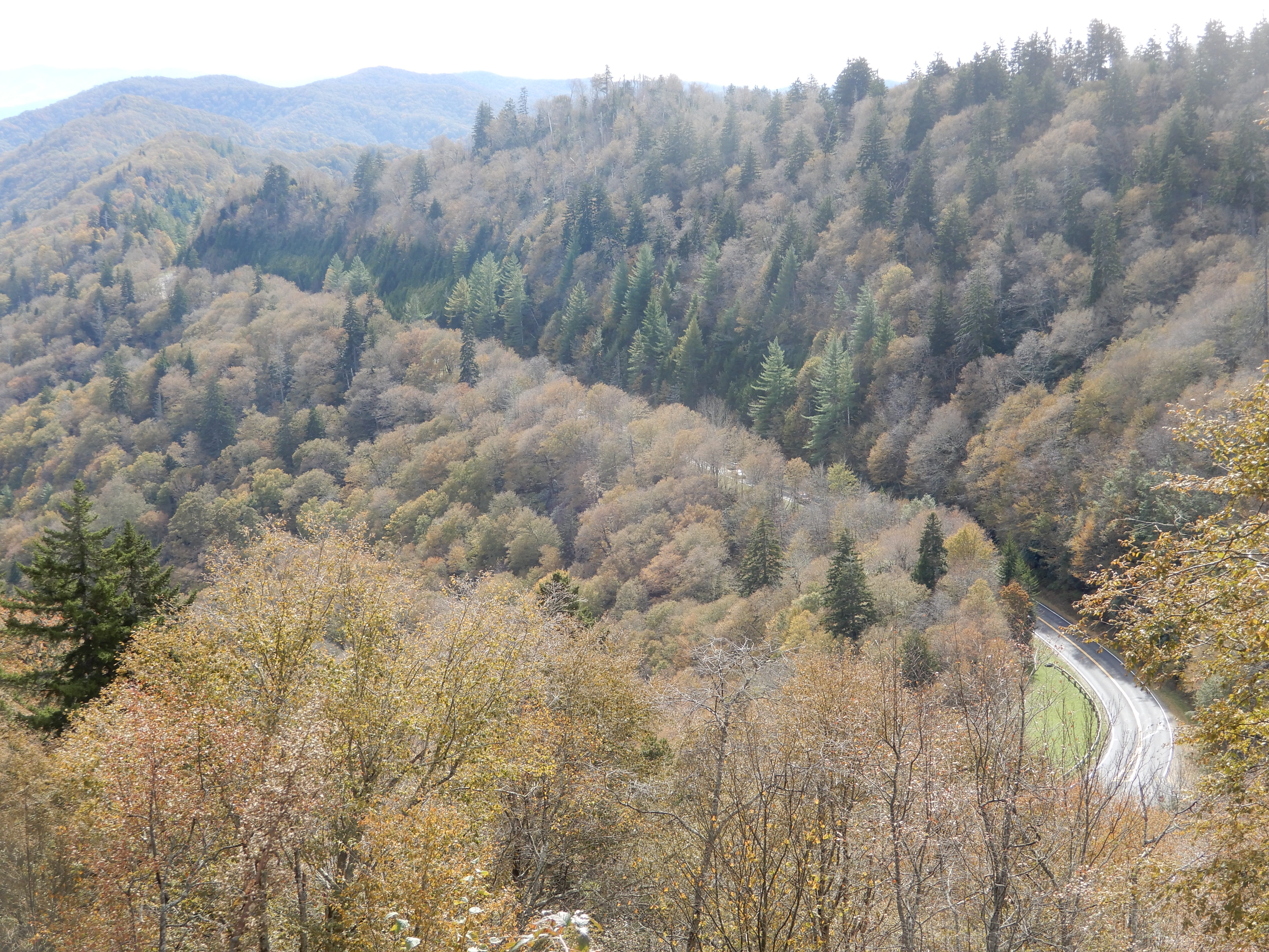
Early in the morning we left Cedar Stone Campground and drove back through Stone Mountain State Park and back up onto the Parkway at MM229. Once back on track, we pulled over for overlooks, like always. I like this photo where we are looking back at the Parkway.
Several others.
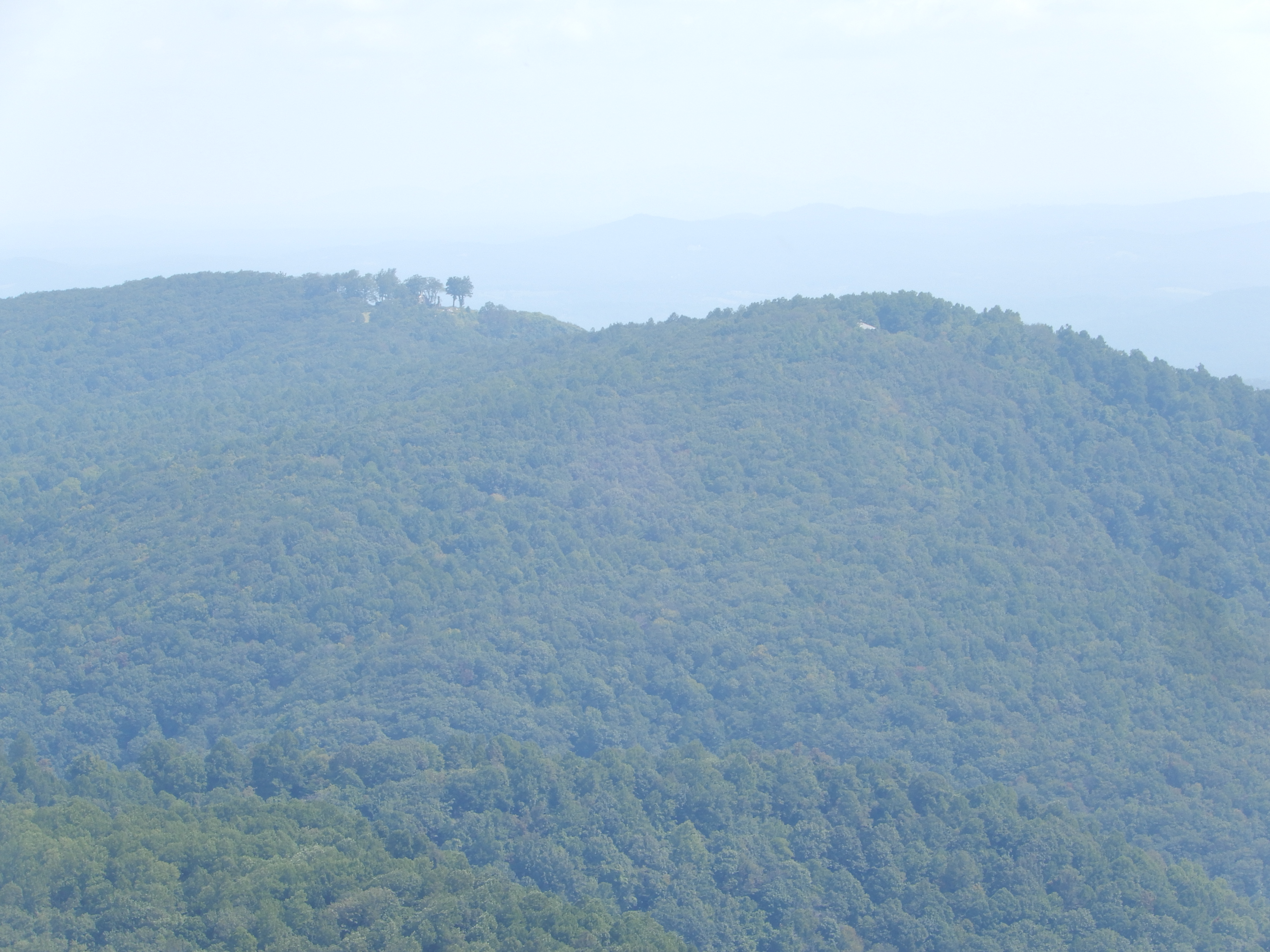
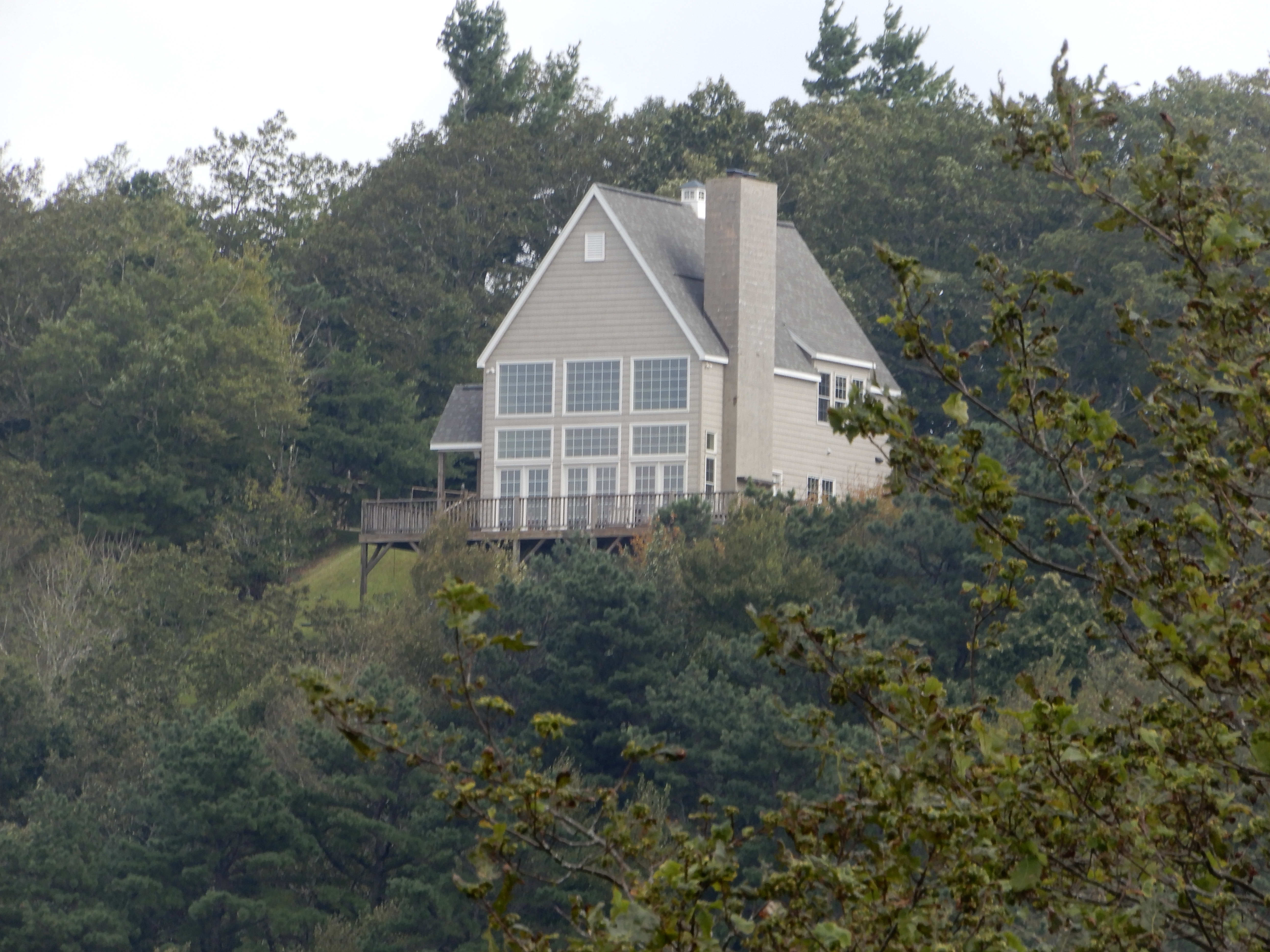
I saw another house that had been built on another mountaintop in a carved-out niche in the trees.
We stopped at Jeffress Park.
To hike the Cascades Trail, a pleasant 1 mile loop.
To an impressive waterfall.
And back out.
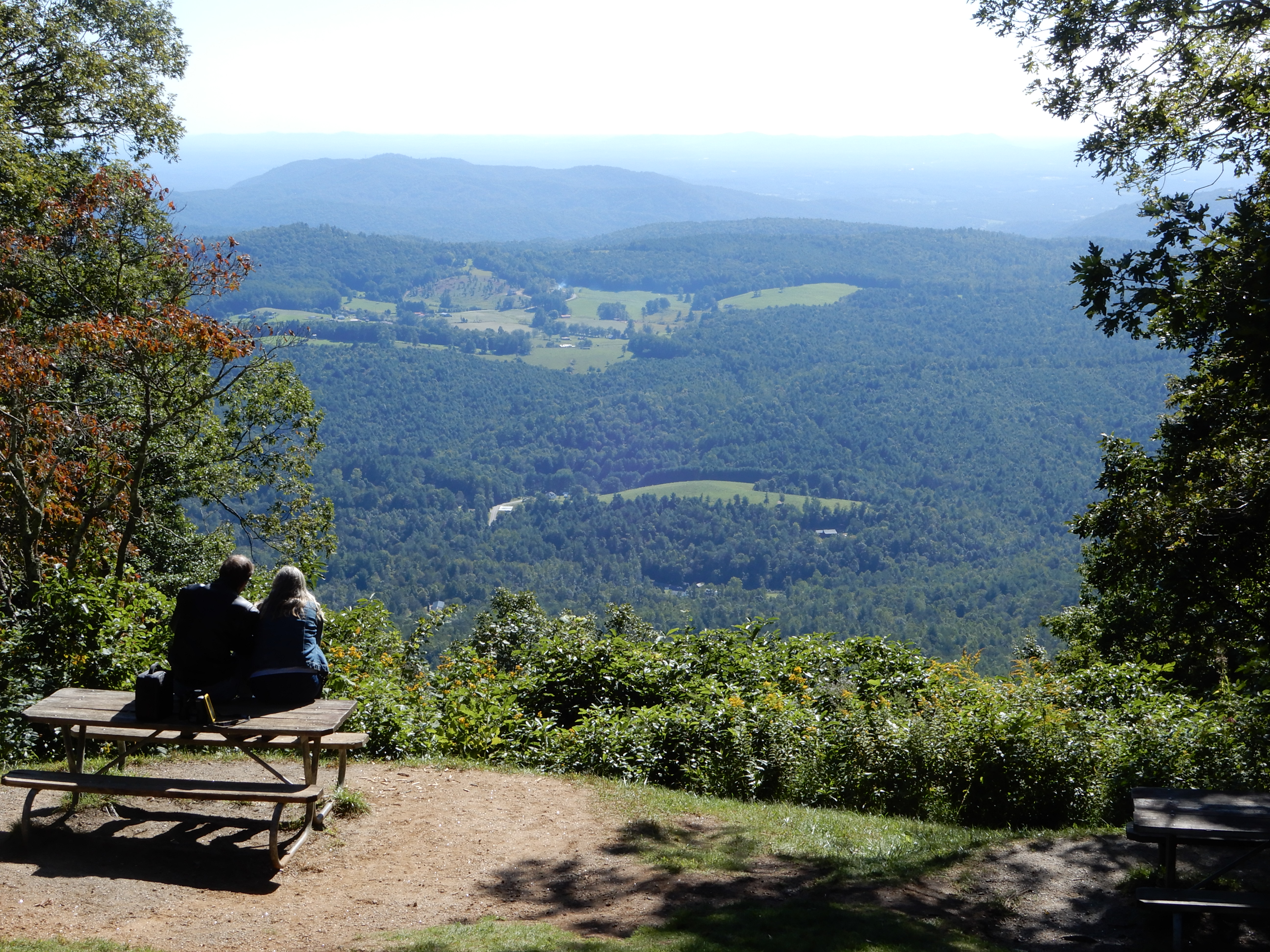
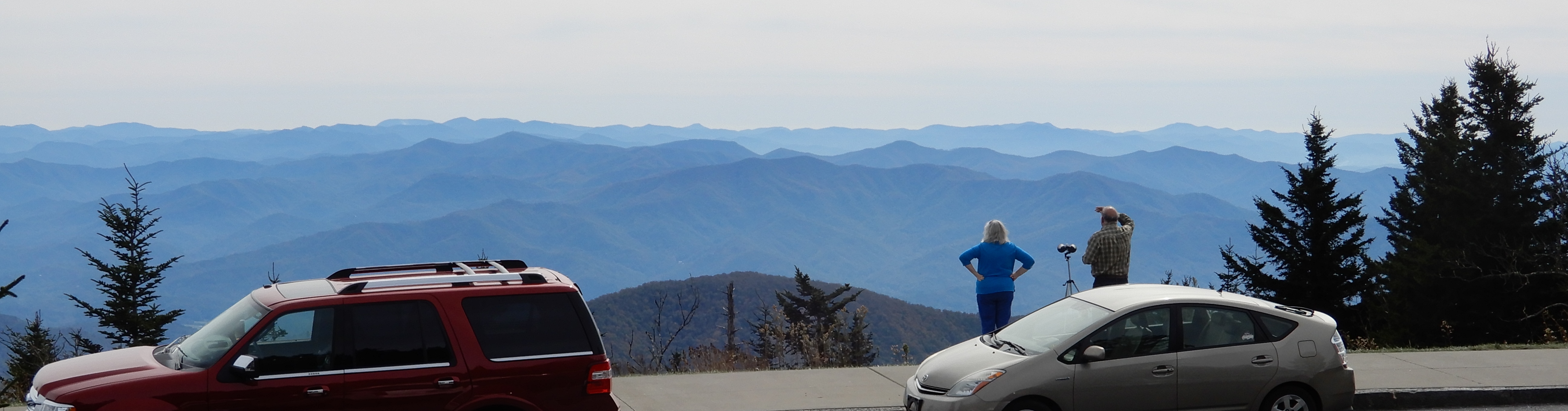
After, we relaxed and enjoyed the view, much as this couple was doing.
American Locations 14 – South on the Blue Ridge Parkway, North Carolina
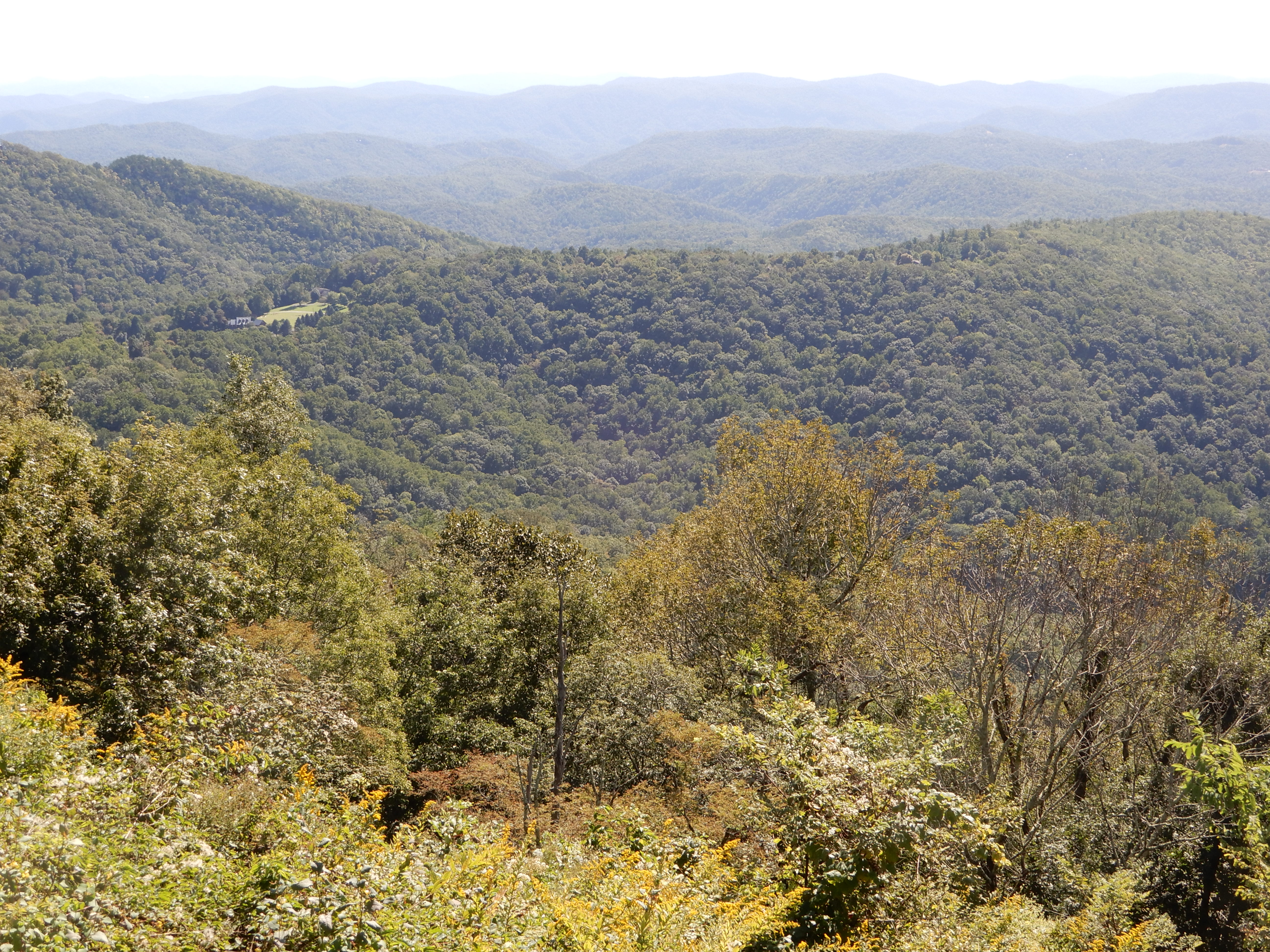
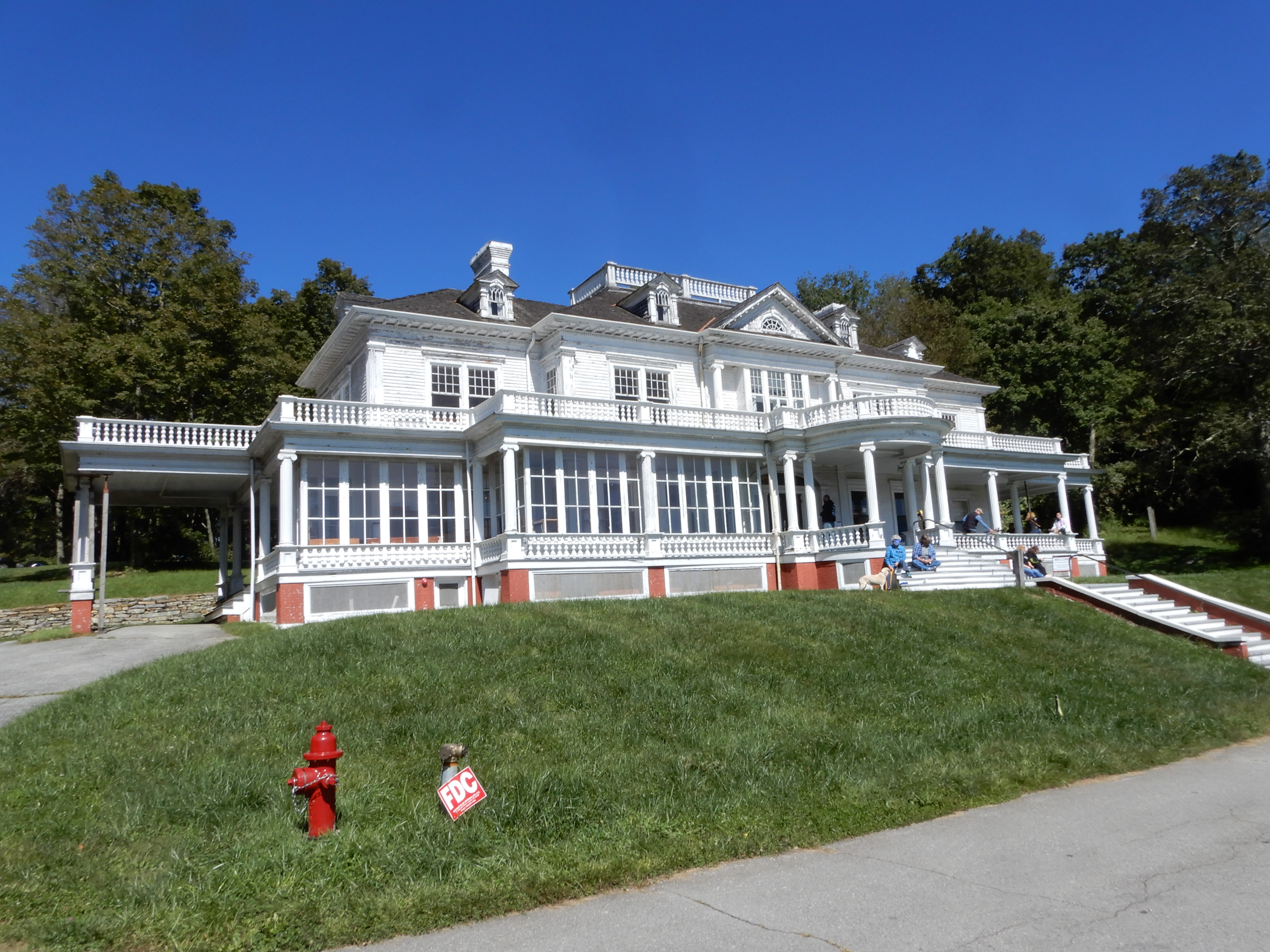
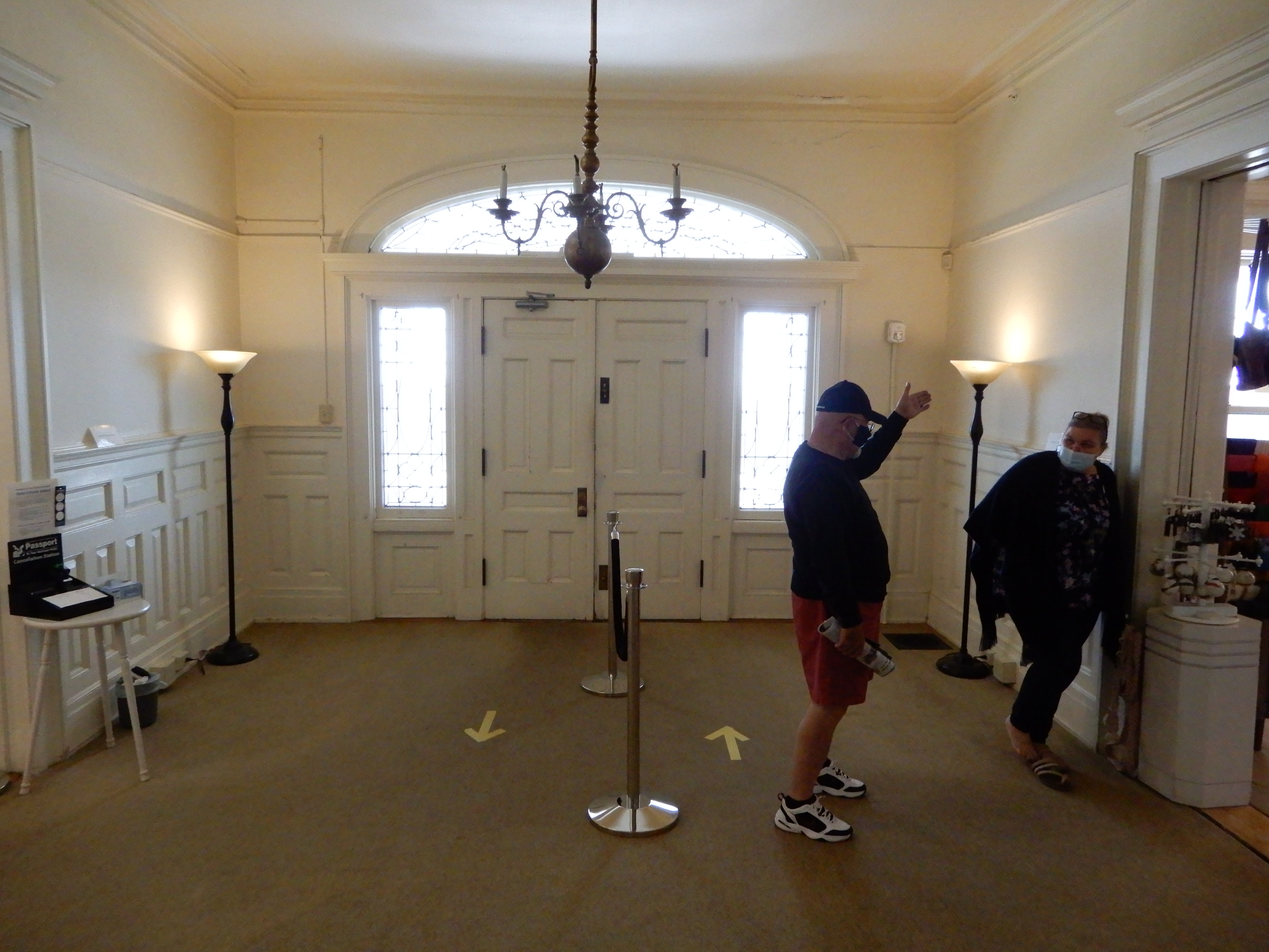
Well rested from our hike, we drove on to Moses H. Cone Park. It was very crowded, we were lucky to find a parking space. We toured the home.
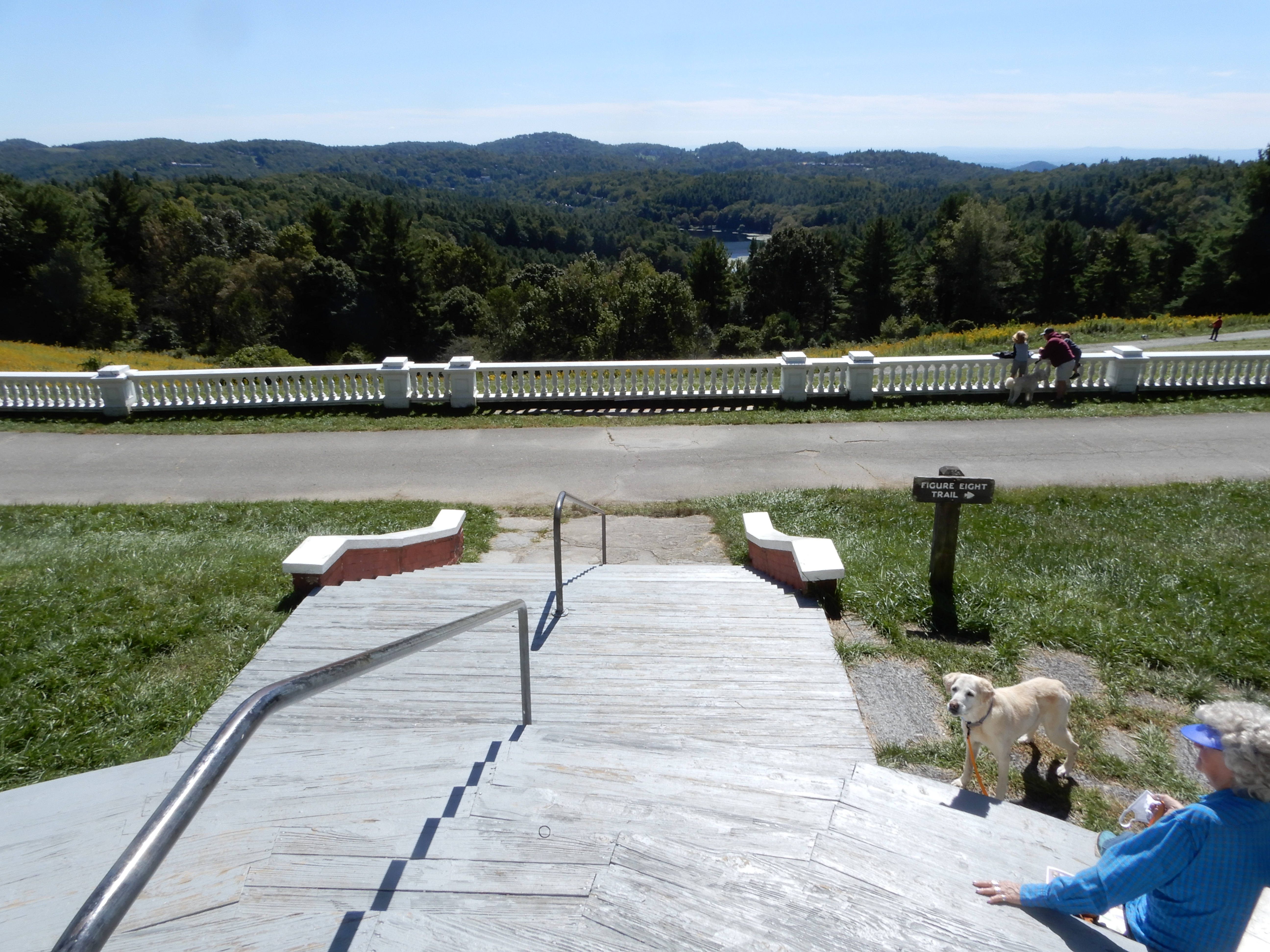
Then walked around to see other buildings.
Then hiked some of the carriage trails.
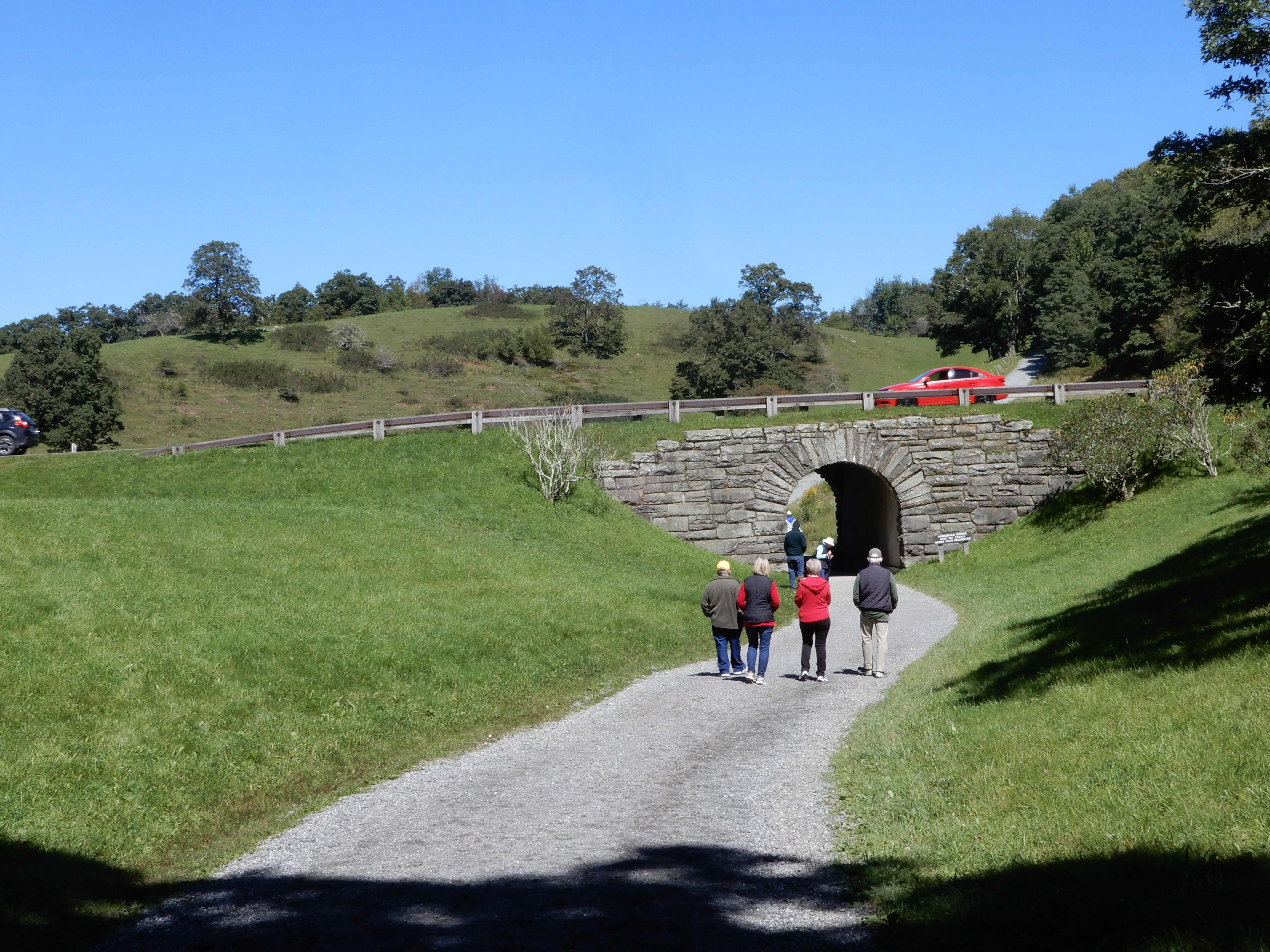
In this one the carriage trail went under the Parkway.
We ate lunch in the parking lot. We drove on to Julian Price Park, but it was too crowded to park. So we drove on to Price Lake, where we got out and walked around some.
We drove across the Linn Cove Viaduct, but it was too crowded to stop. There were just too many people on the Parkway for it to be enjoyable. So early that afternoon we pulled into Linville Falls Campgropund at MM317 and got a site.
We had a creek behind our site.
American Locations 15 – South on the Blue Ridge Parkway, North Carolina
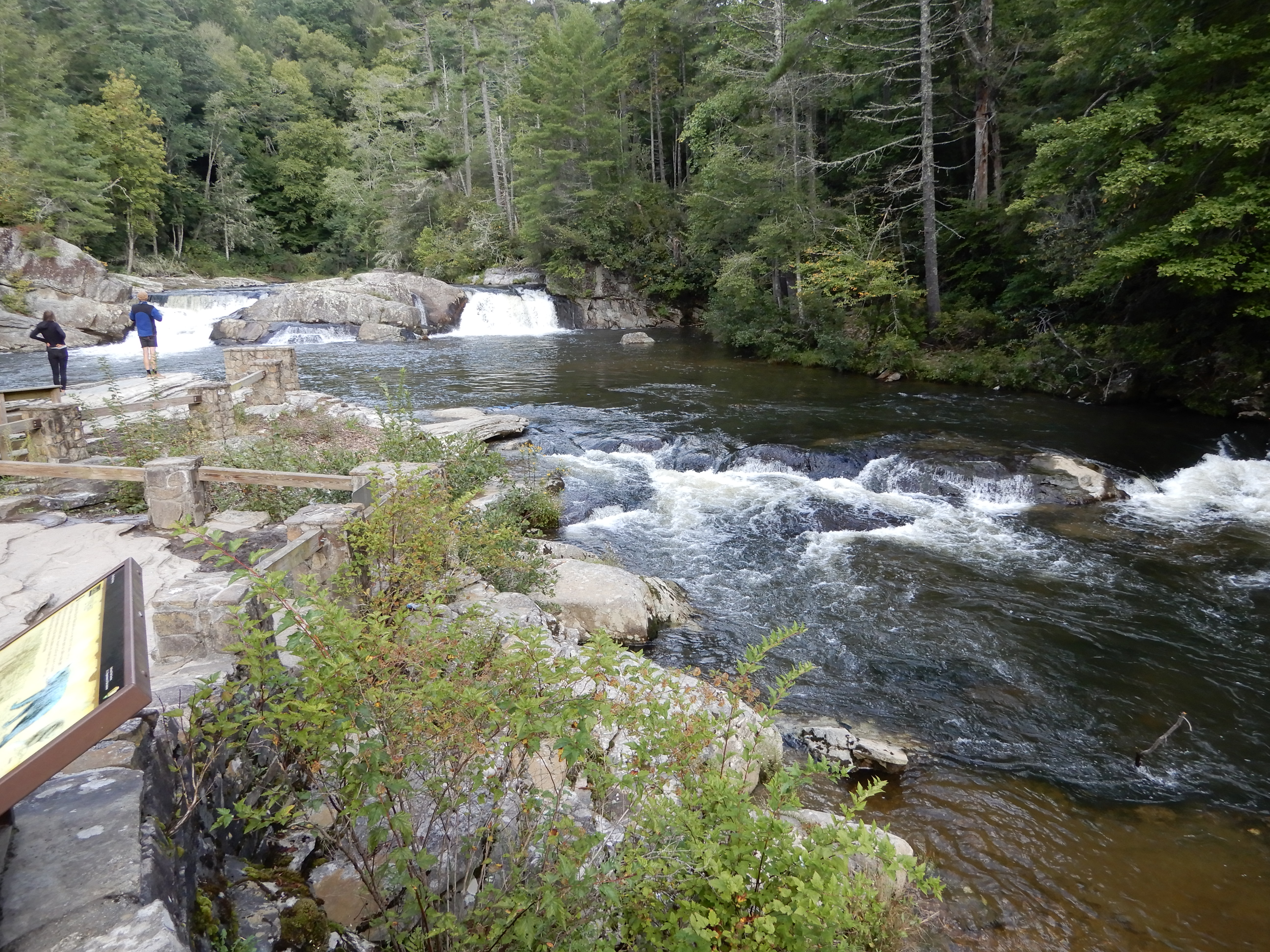
Early the next morning we drove out of the campground to the visitor center to take an easy 1-mile hike to Linville Falls.
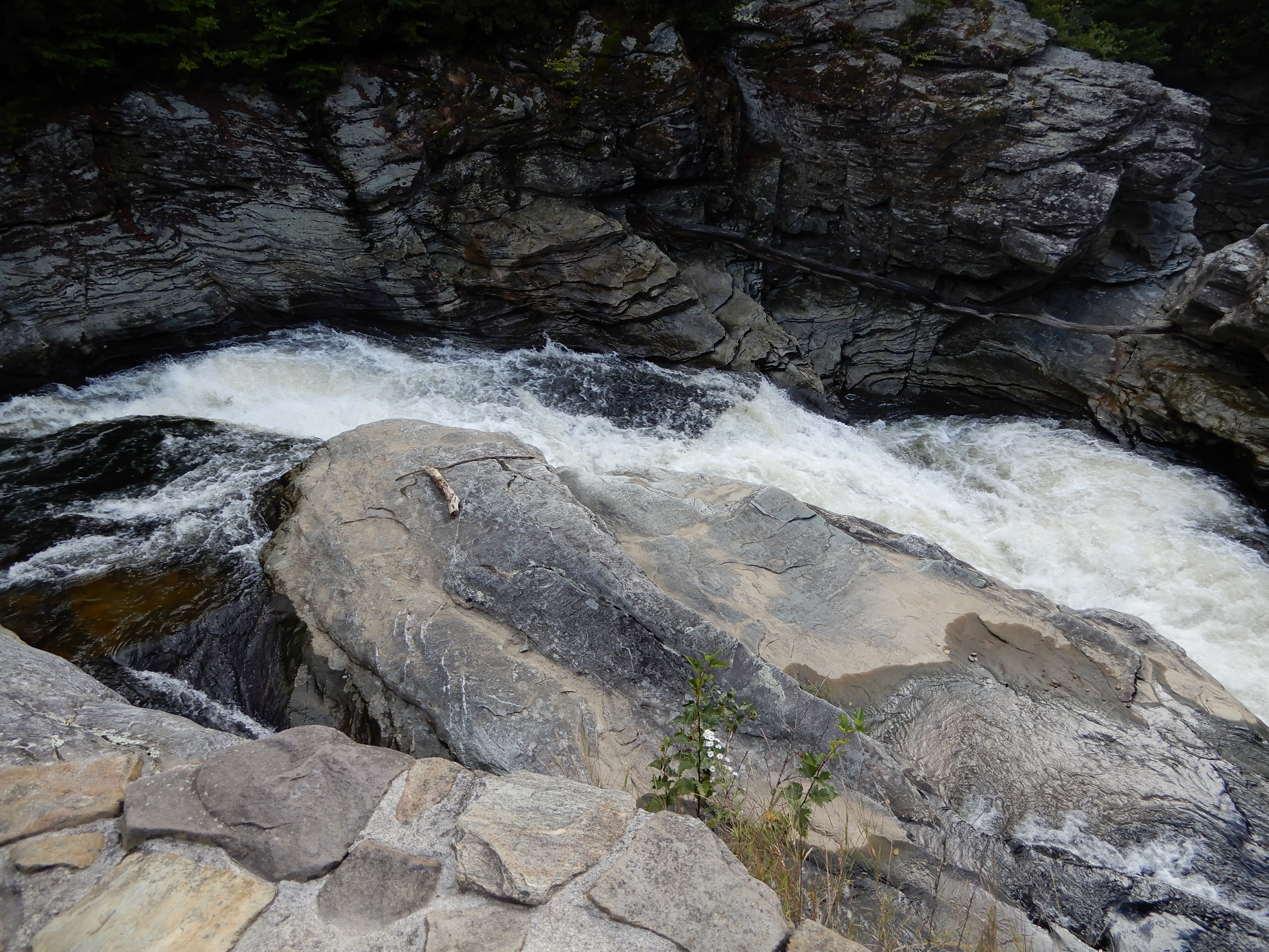
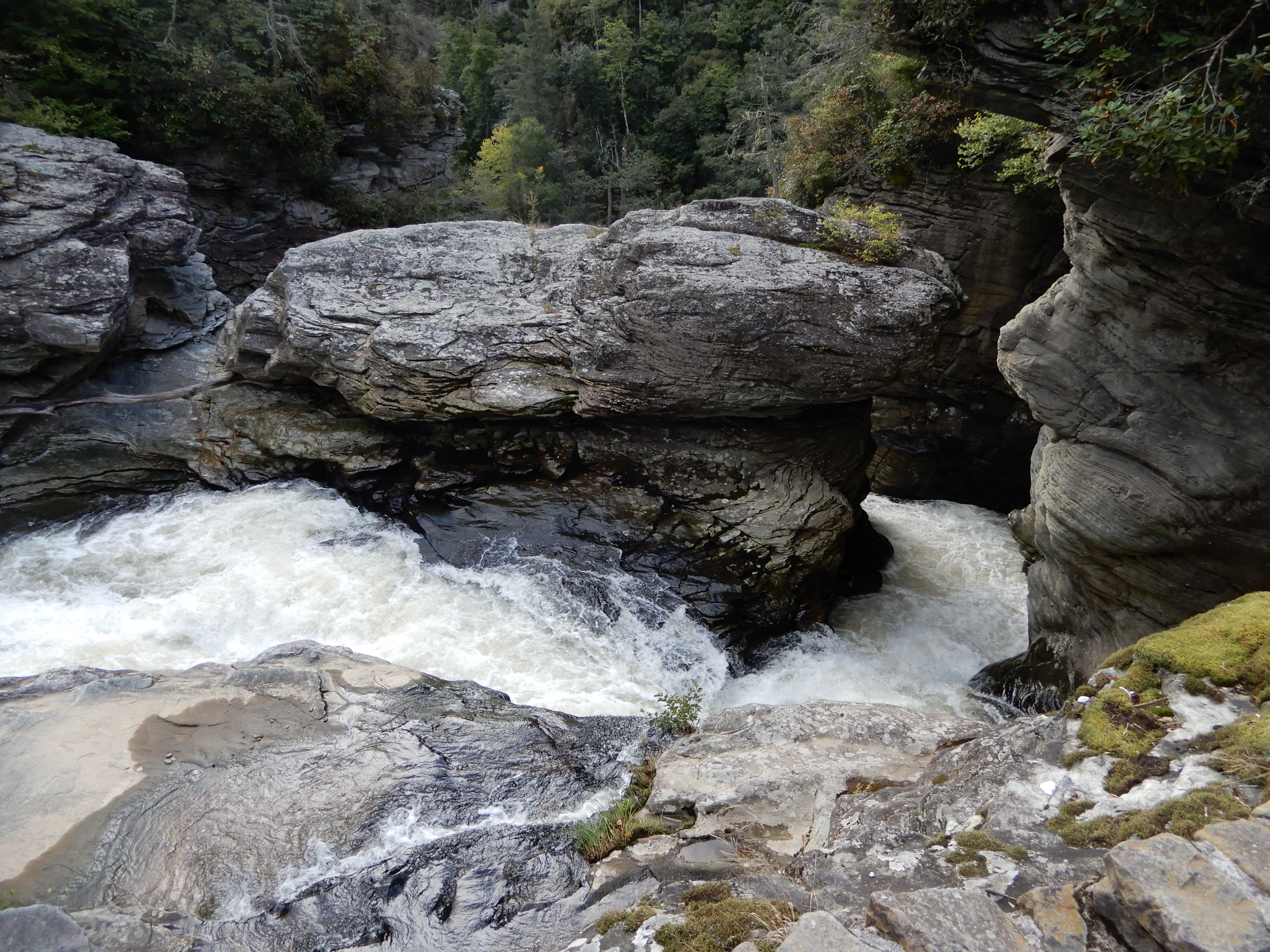
We saw several small falls.
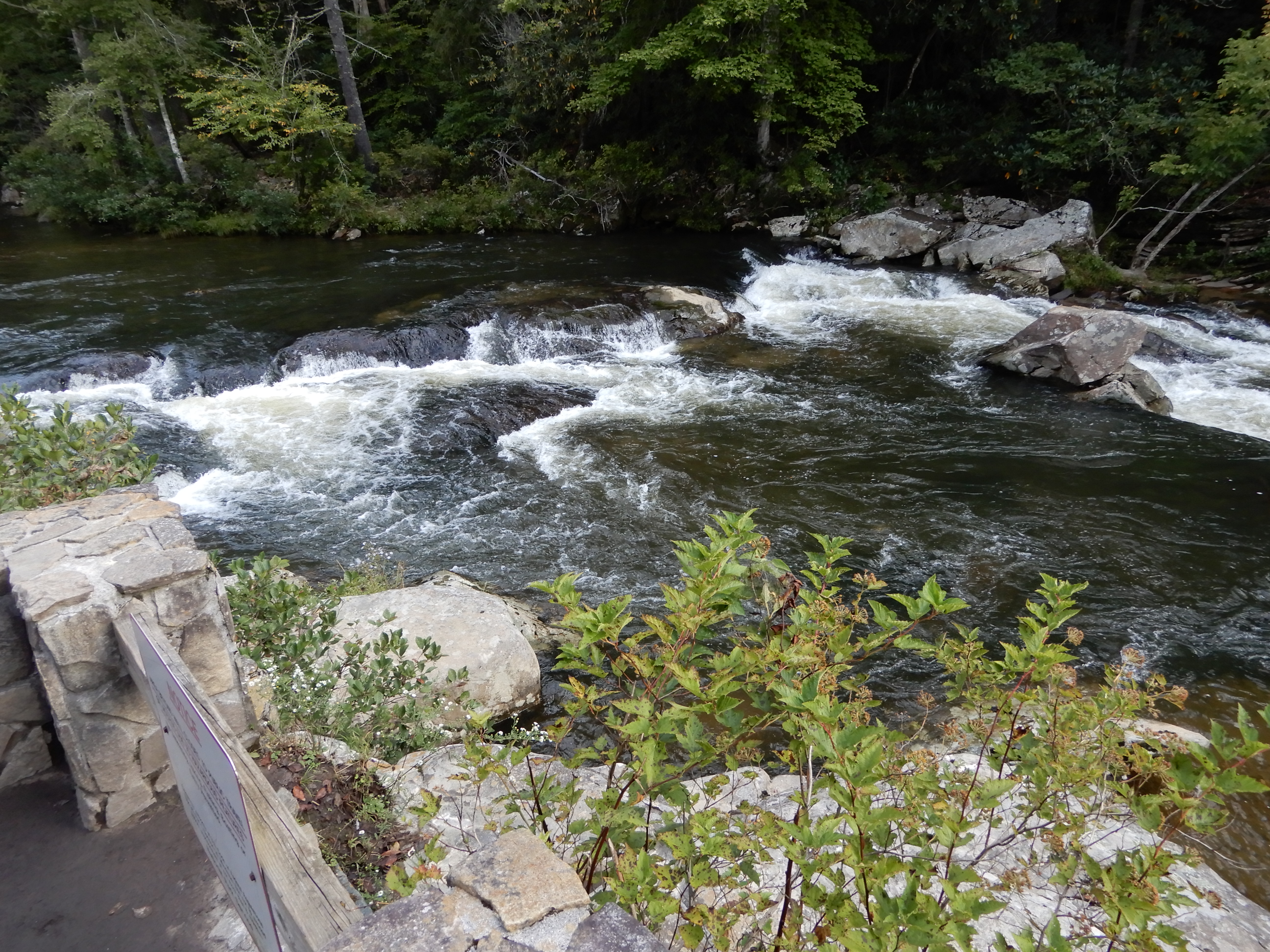
After, we continued south on the Parkway.
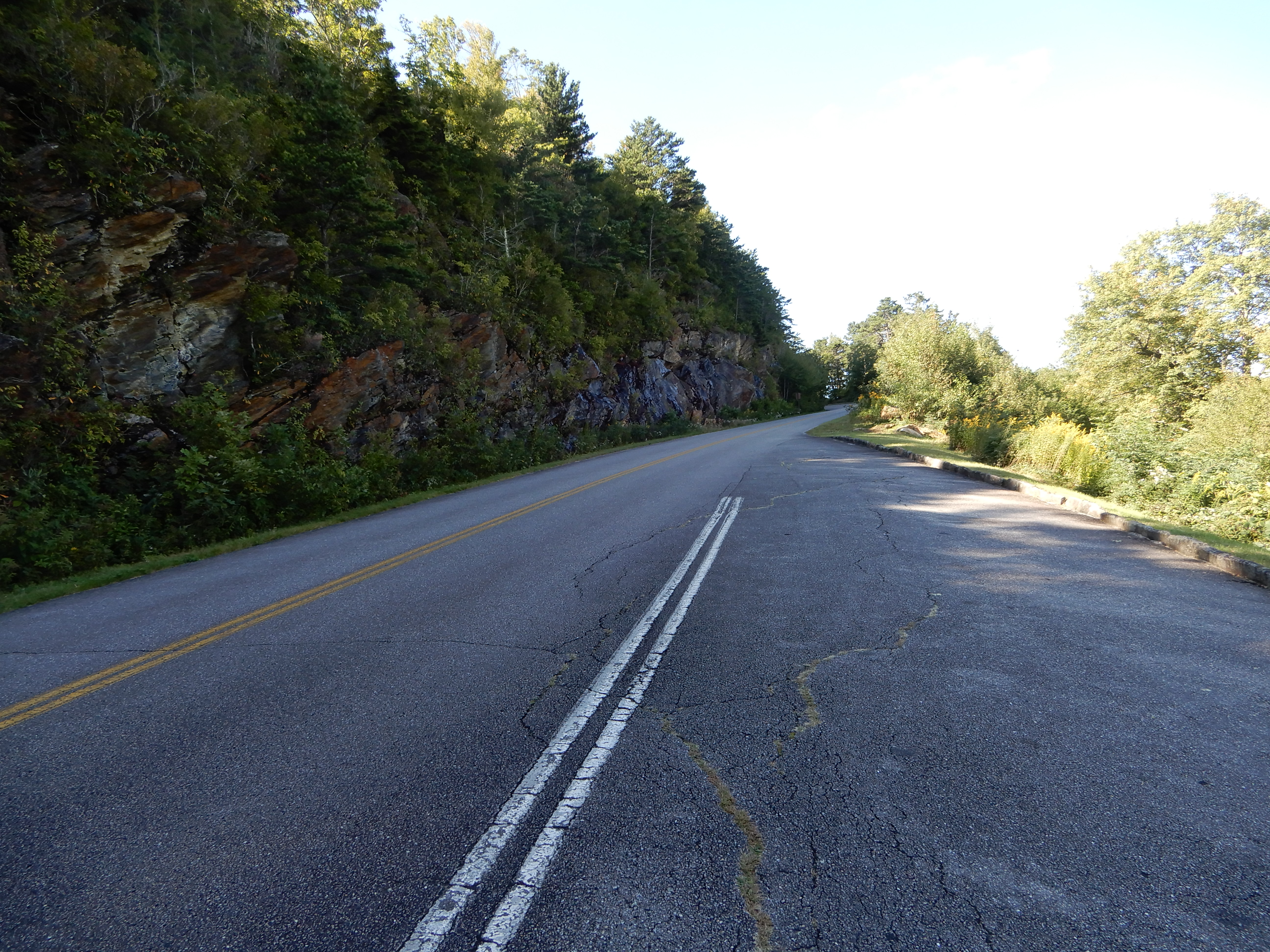
Stopping at several overlooks.
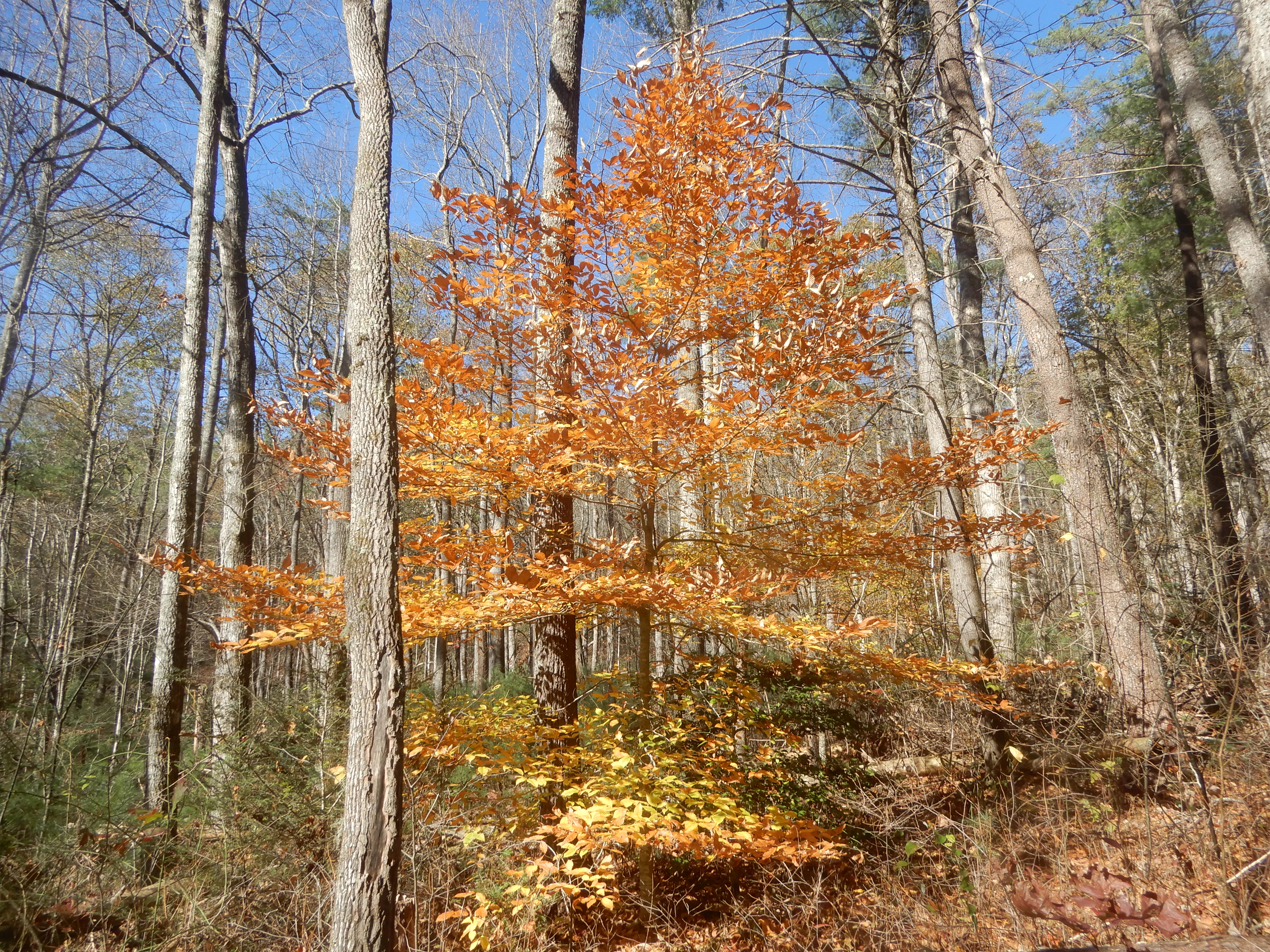
At one stop this dead tree caught my eye.
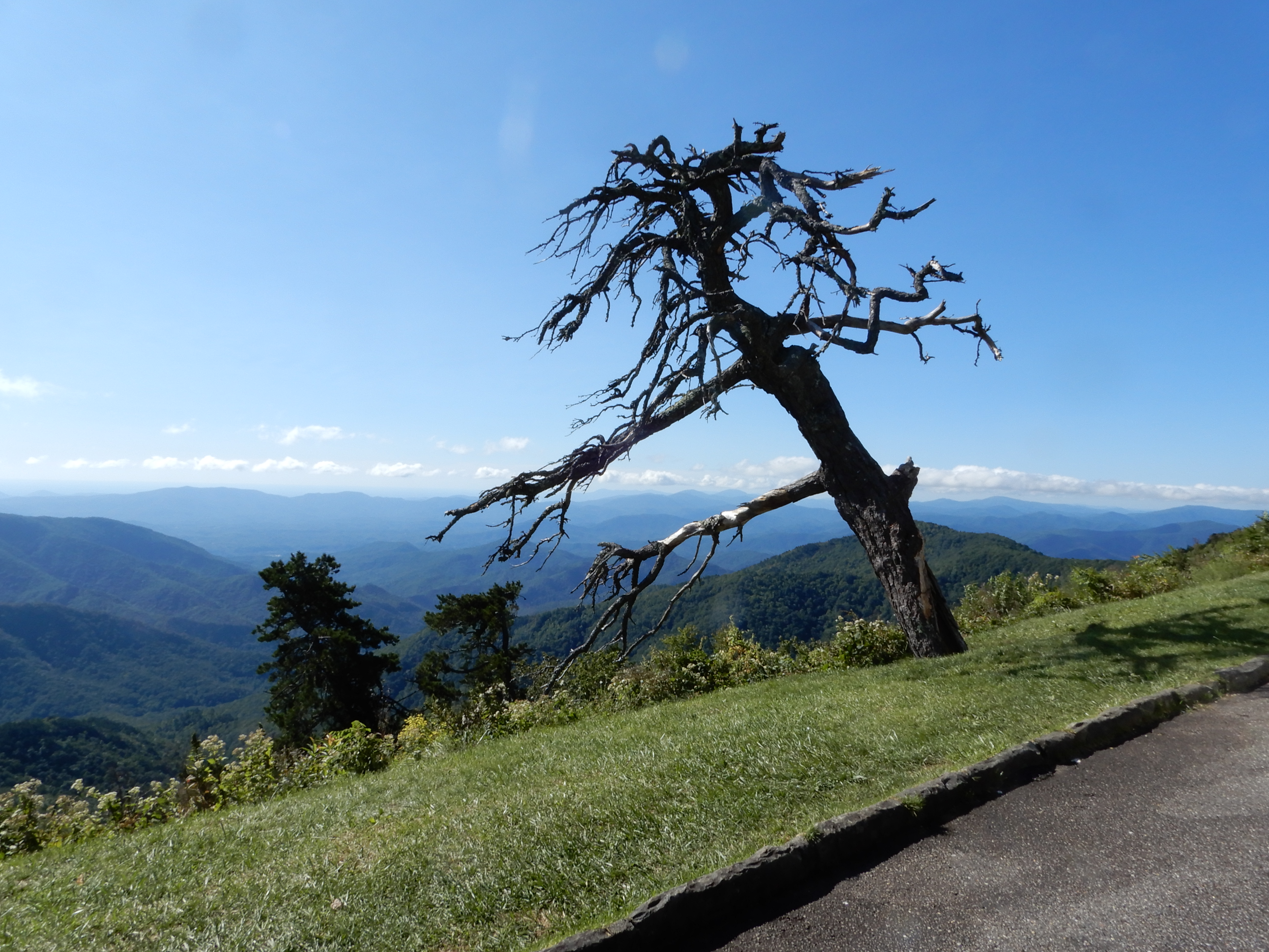
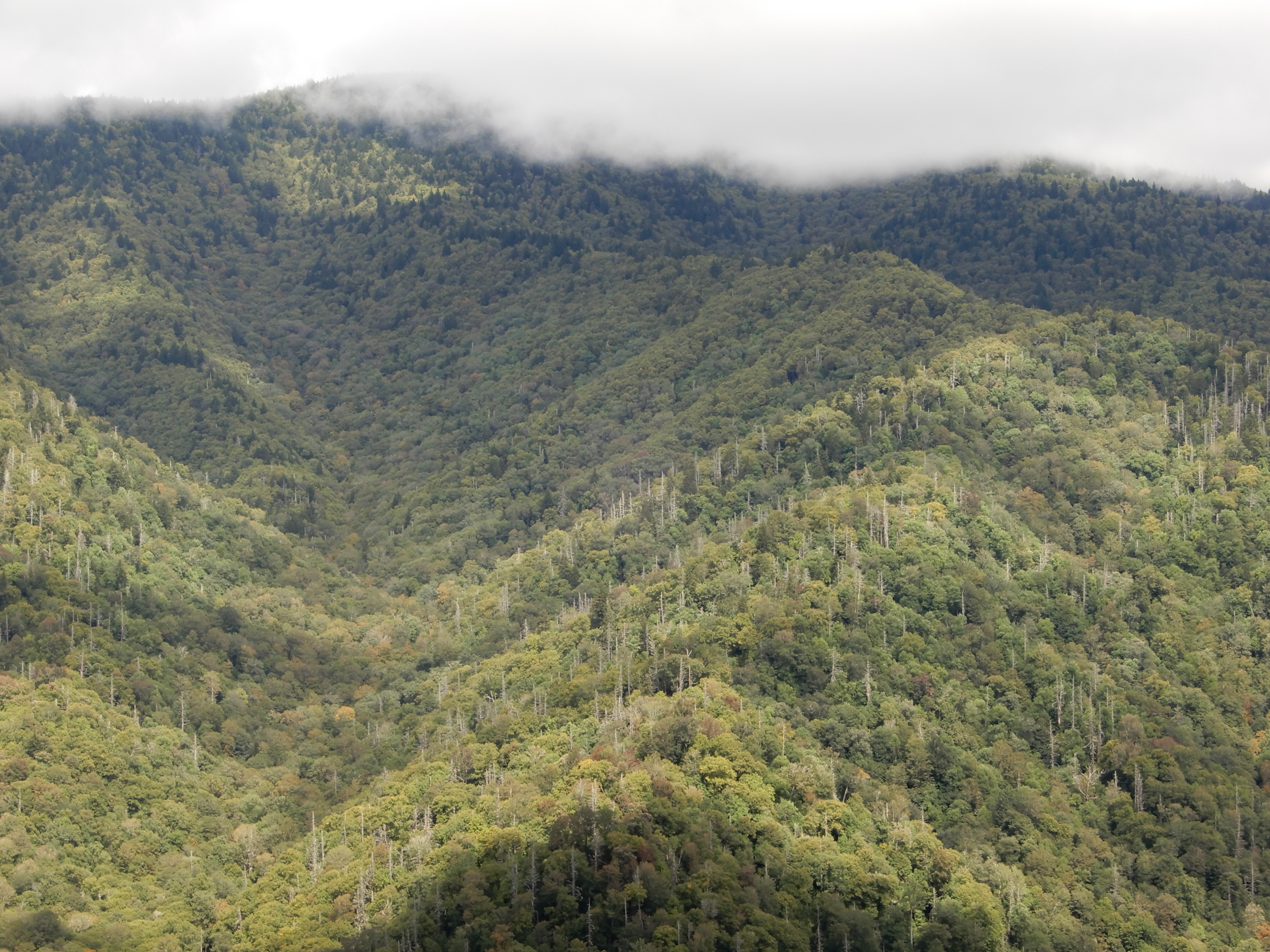
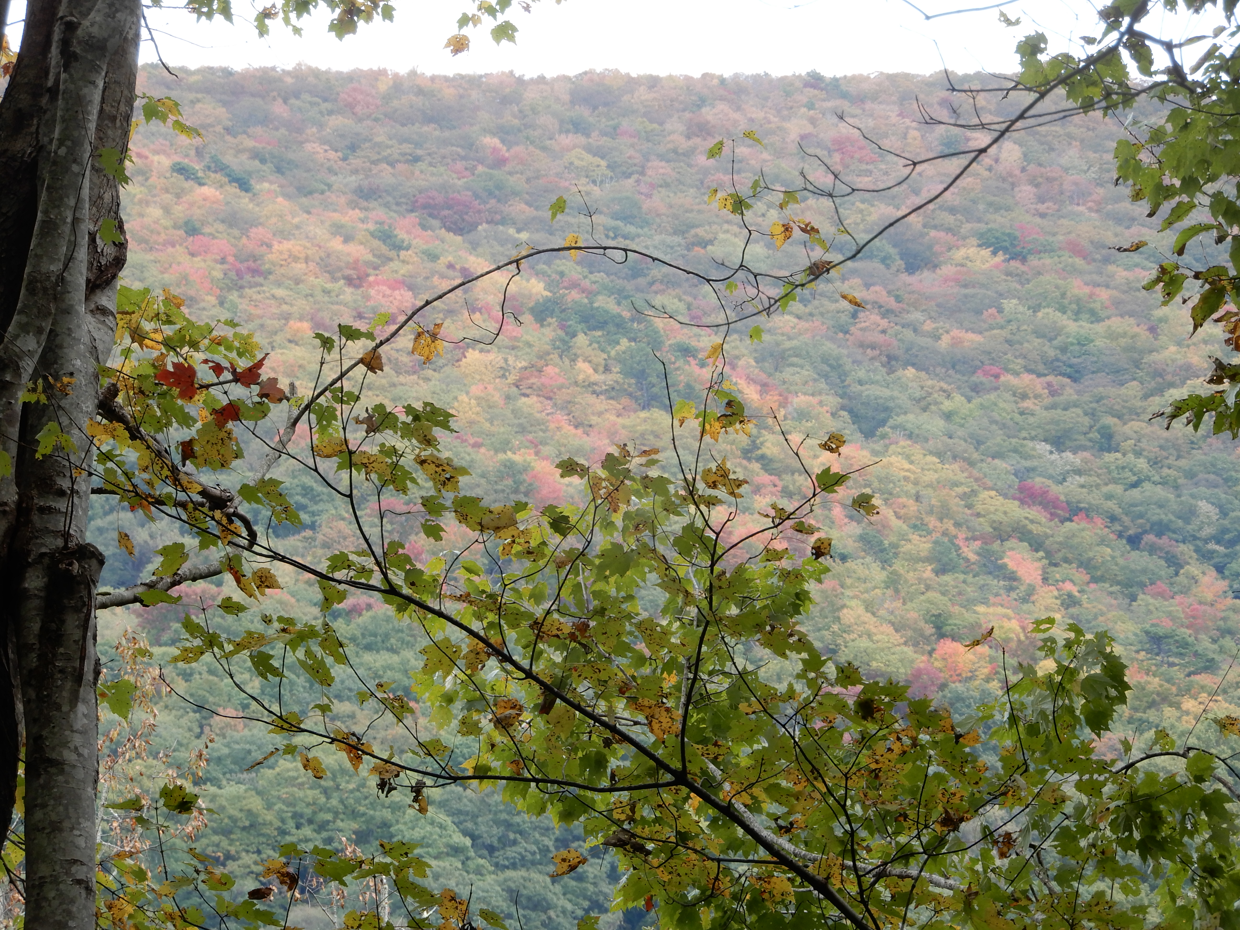
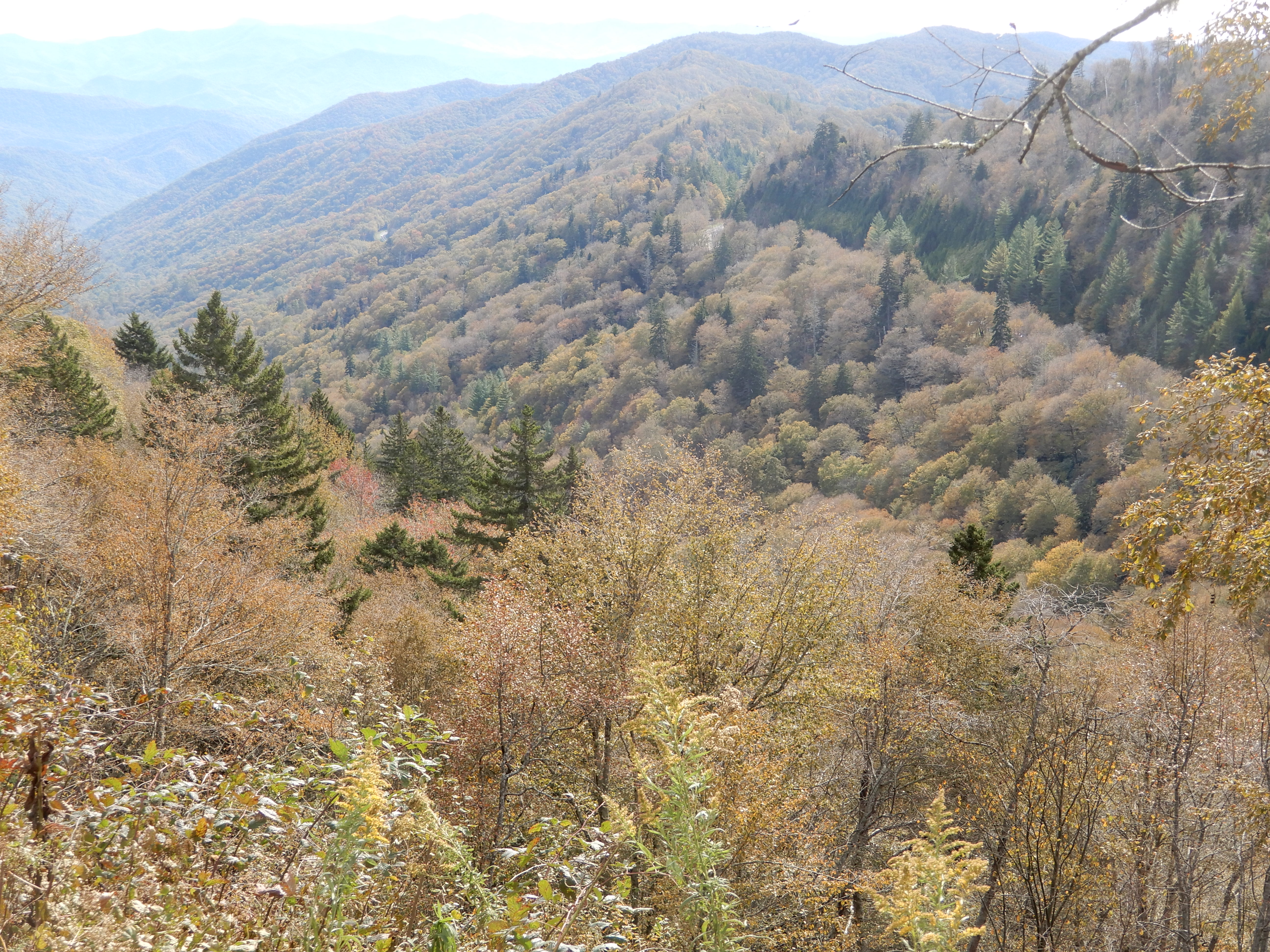
These are the kind of views you come upon while driving. Very hard to keep your eyes on the road.
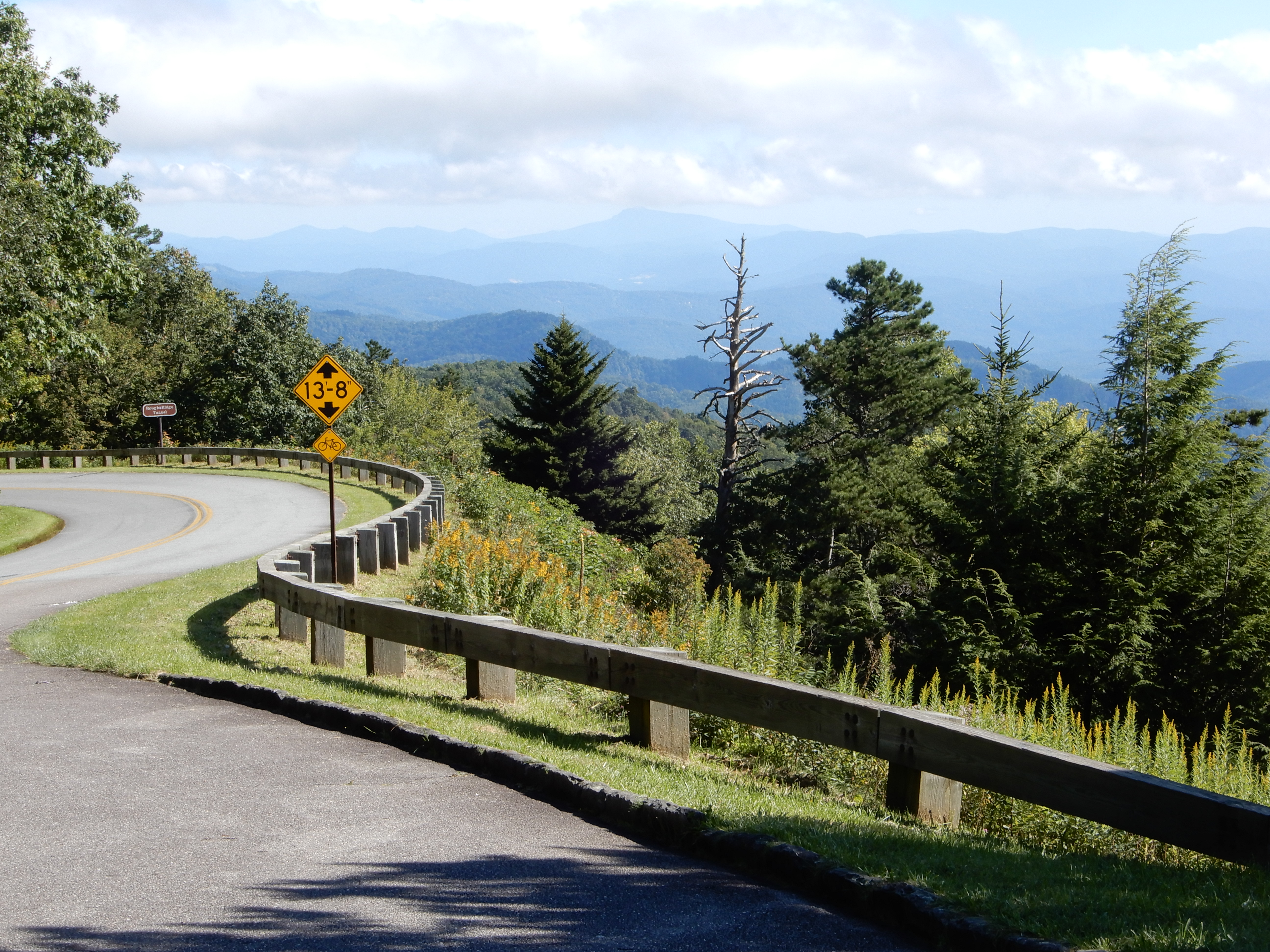
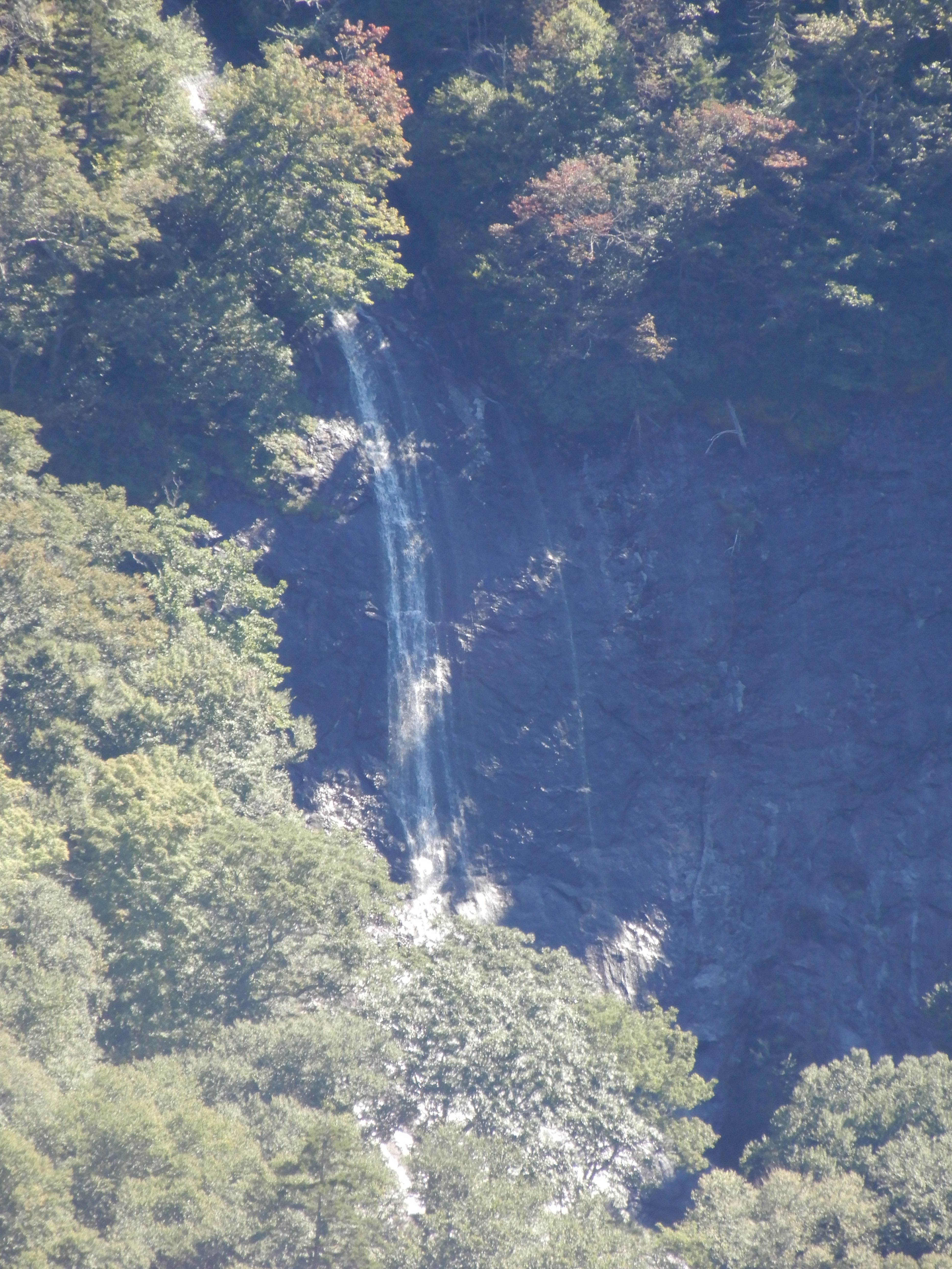
We pulled over to see this waterfall in the distance.
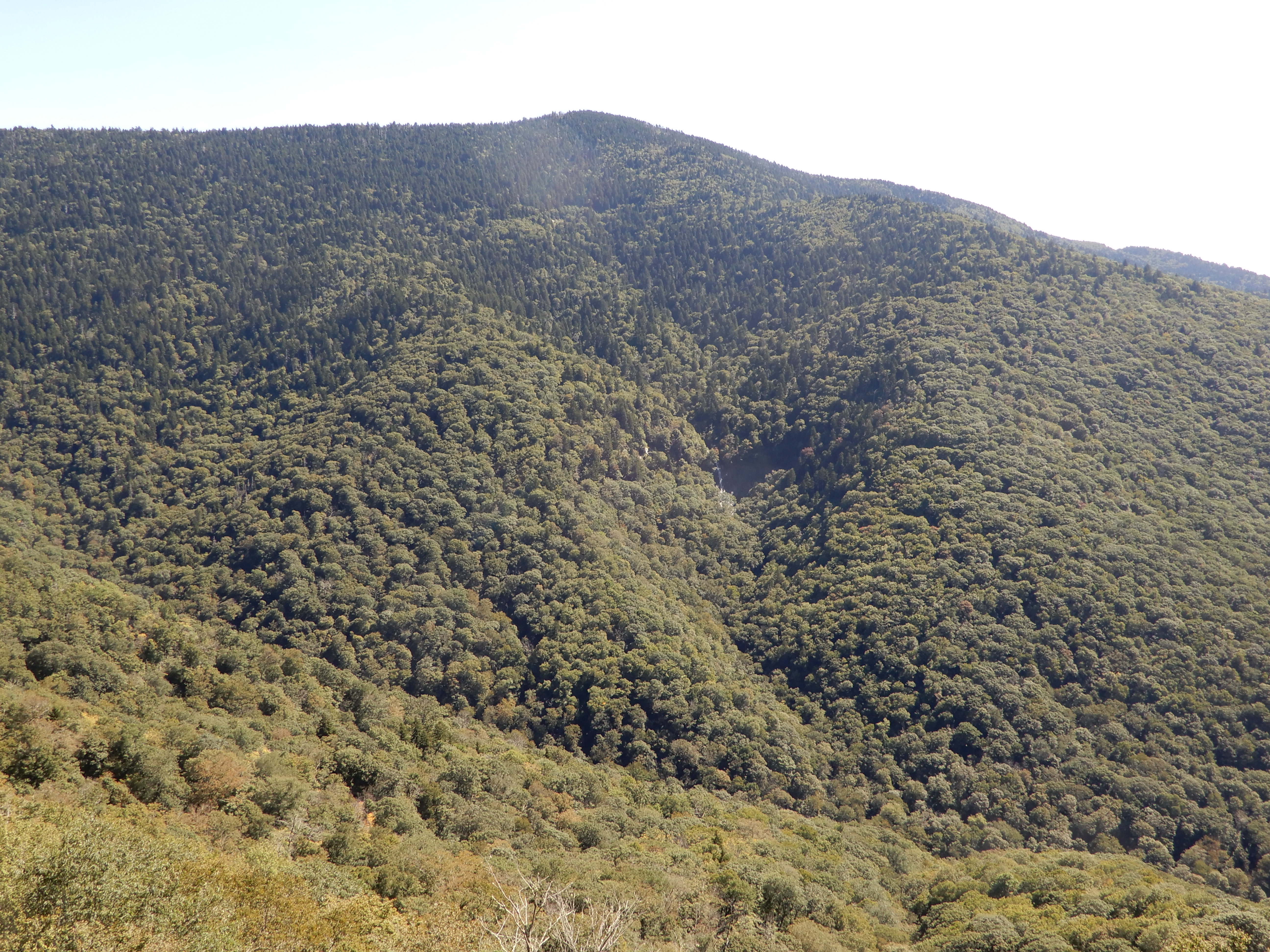
I zoomed in for a closer shot.
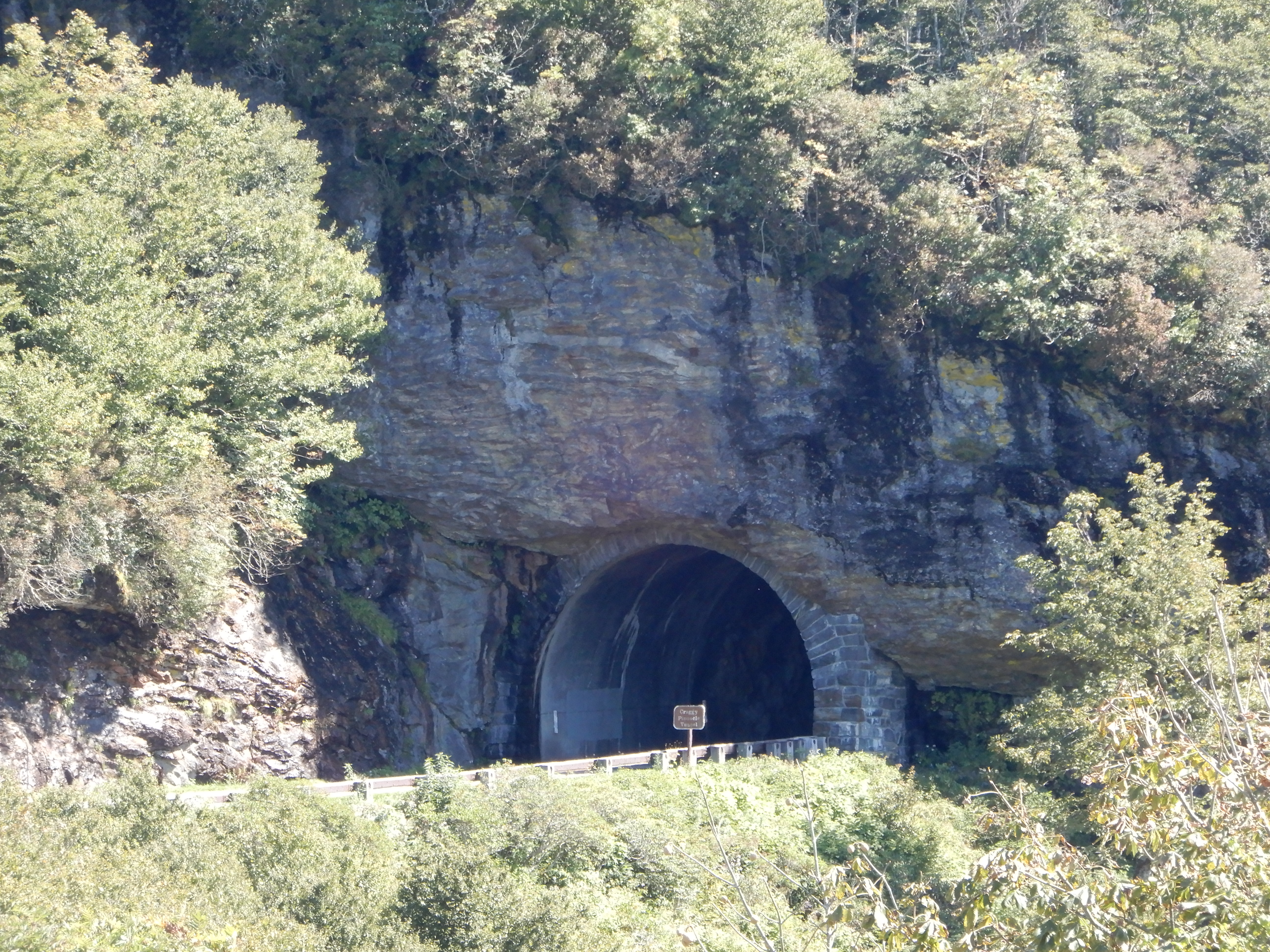
On this stretch of the road we went through several tunnels.
We pulled into the Museum of North Carolina Minerals, but it was closed. We drove around Crabtree Falls, but the campground was closed. We pulled into Glassmine Falls overlook (it was open! Yea!) for lunch, then took a short walk to view the distant falls. It started out easy.
The trail grew rockier.
We got beyond the rocky stretch.
The trail broke out into an open stretch.
Which provided scenic views.
Then it was back into the trees.
To a very disappointing dry falls.

Anyway, it was still a nice hike. We drove on to the Craggy Gardens Visitor Center.
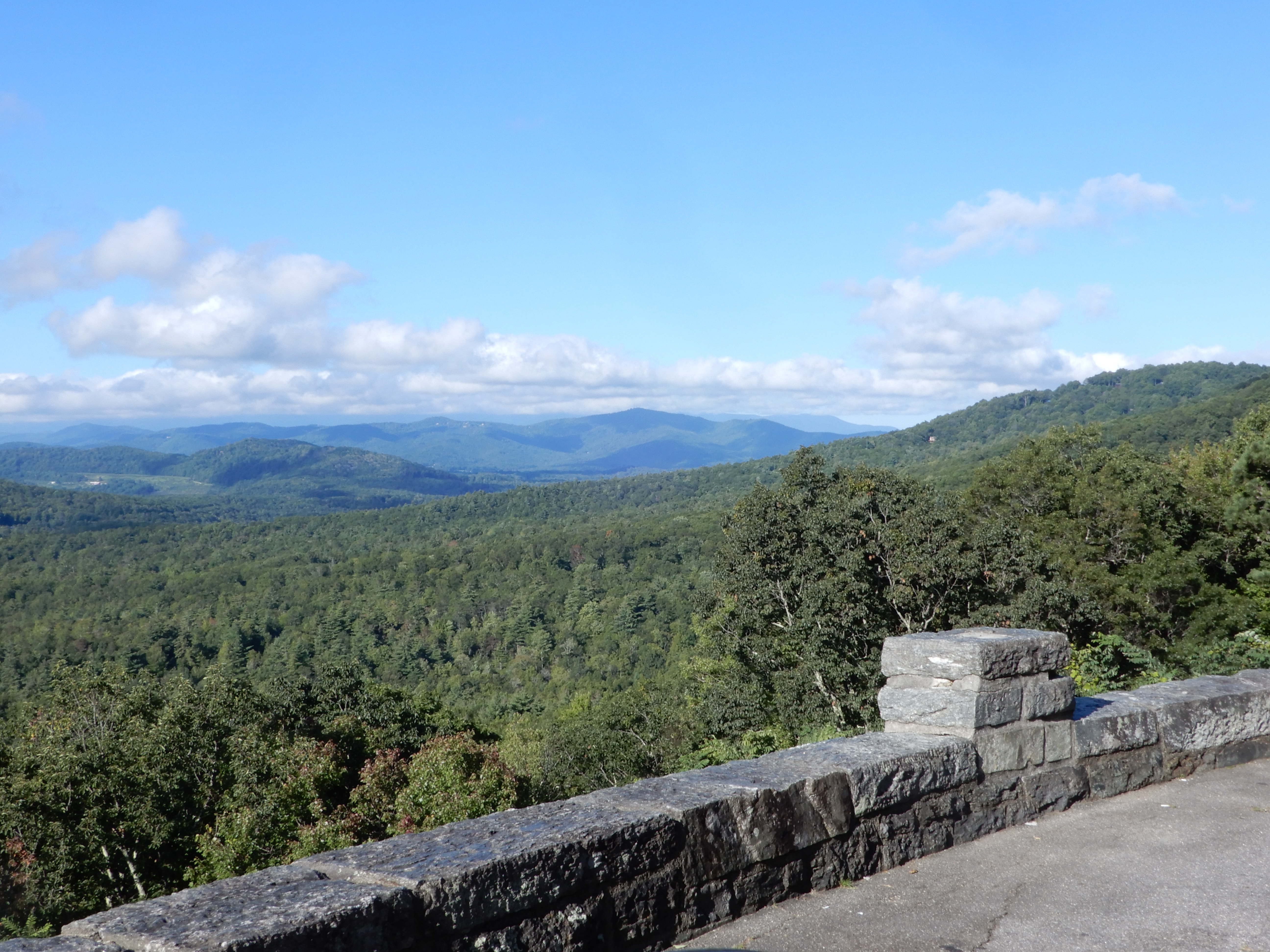
Which provided some nice overlooks.
We continued south on the Parkway on a very scenic stretch, perhaps the best yet. We turned off the Parkway into Asheville for gas and groceries, then hopped right back on. North and south of Asheville the traffic was heavy, but as we continued south away from the city it got lighter. There were a lot of tunnels on this stretch, several long ones. We pulled over for several more overlooks, then turned into Mt. Pisgah Campground at MM408. We got a site, and after dinner walked around the campground.
American Locations 16 – Driving off the Blue Ridge Parkway, North Carolina
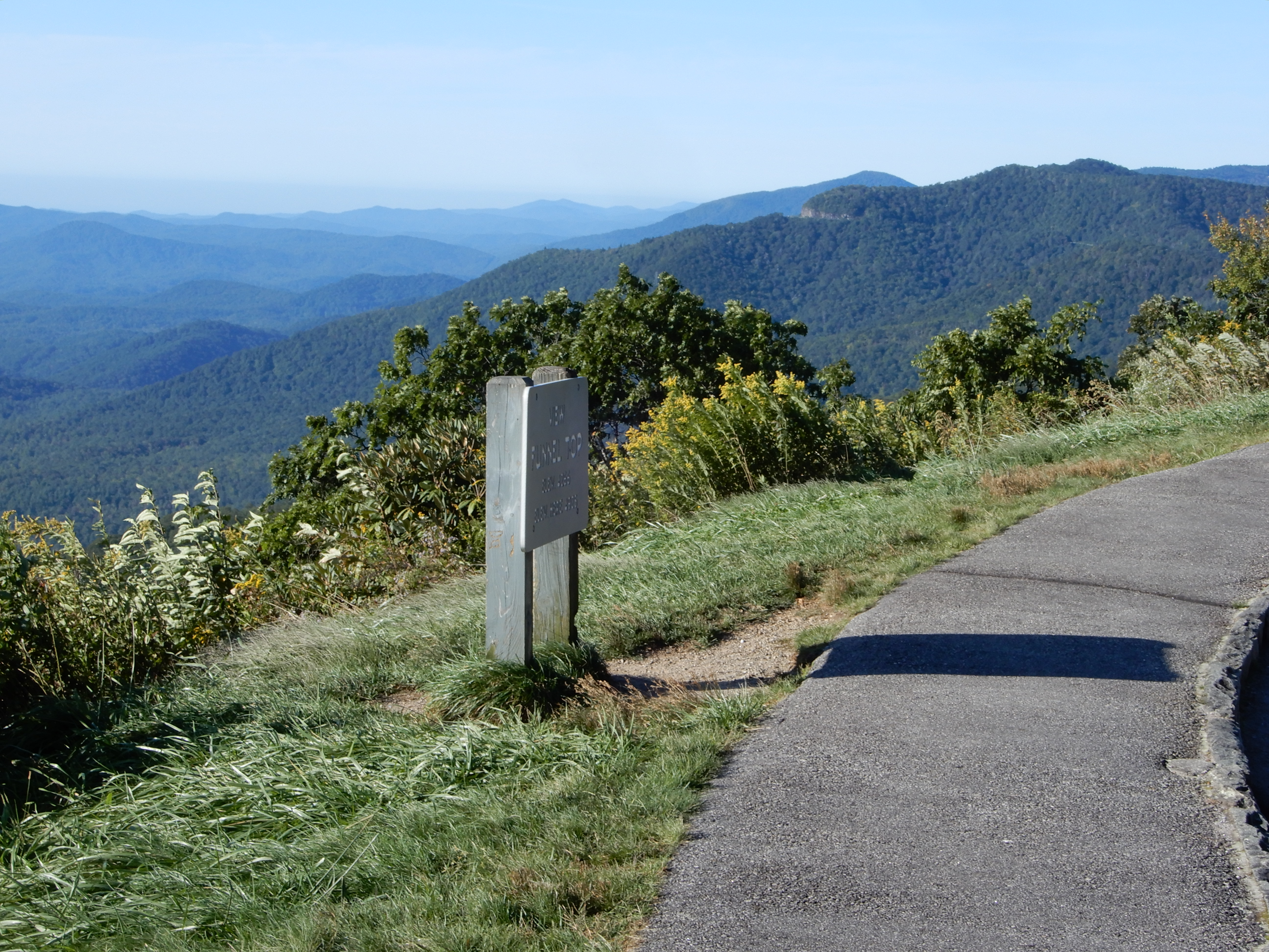
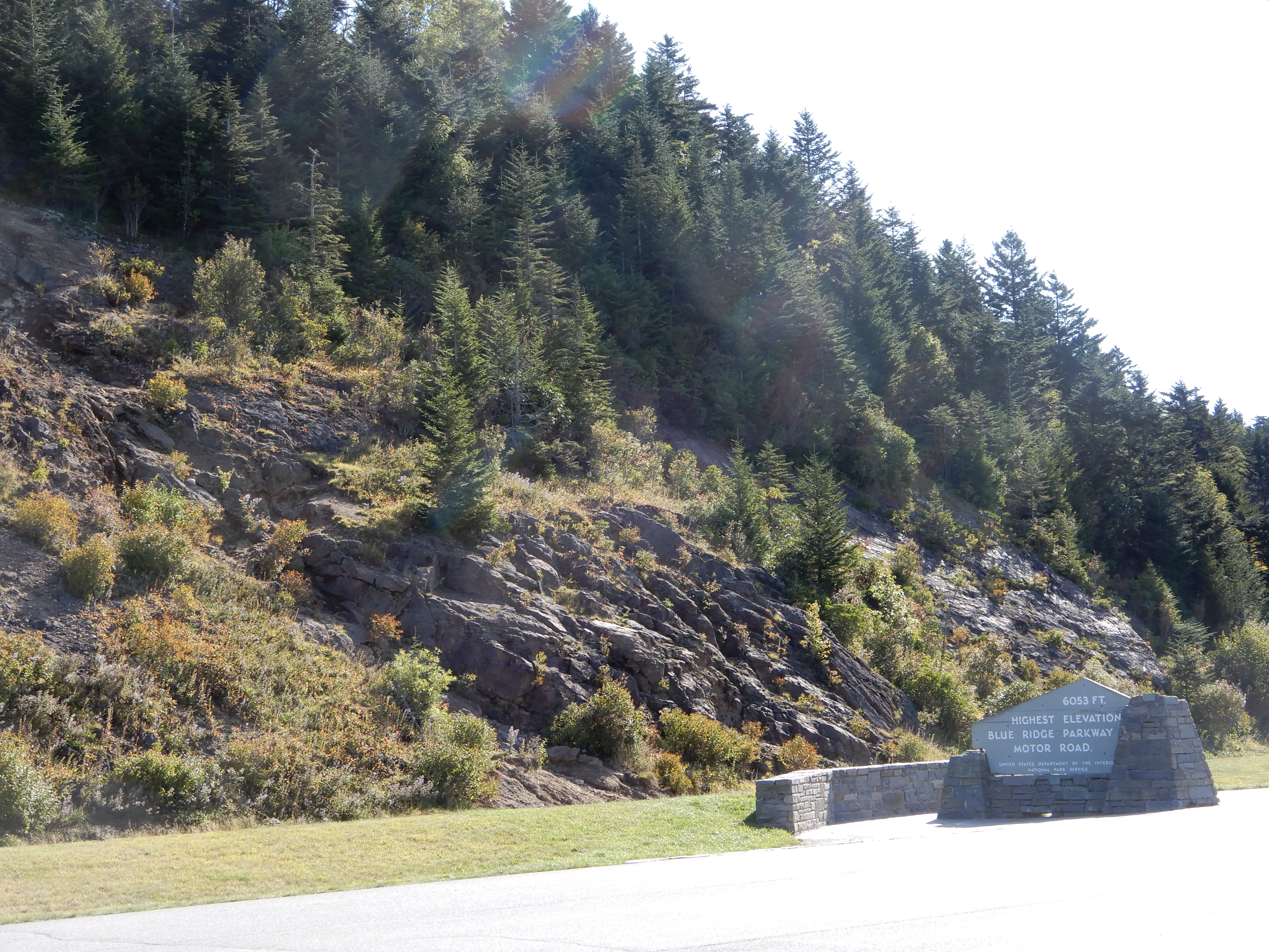
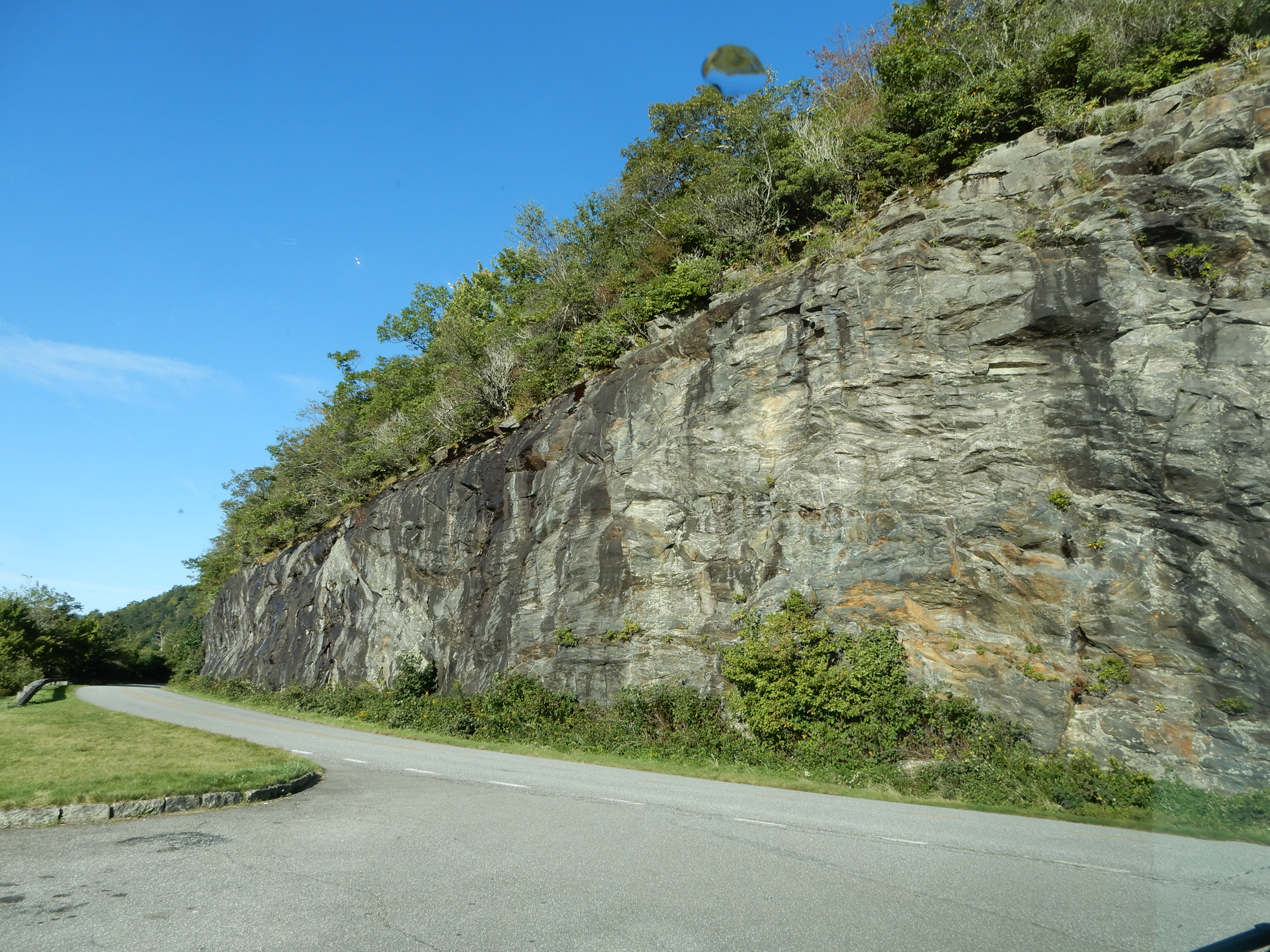
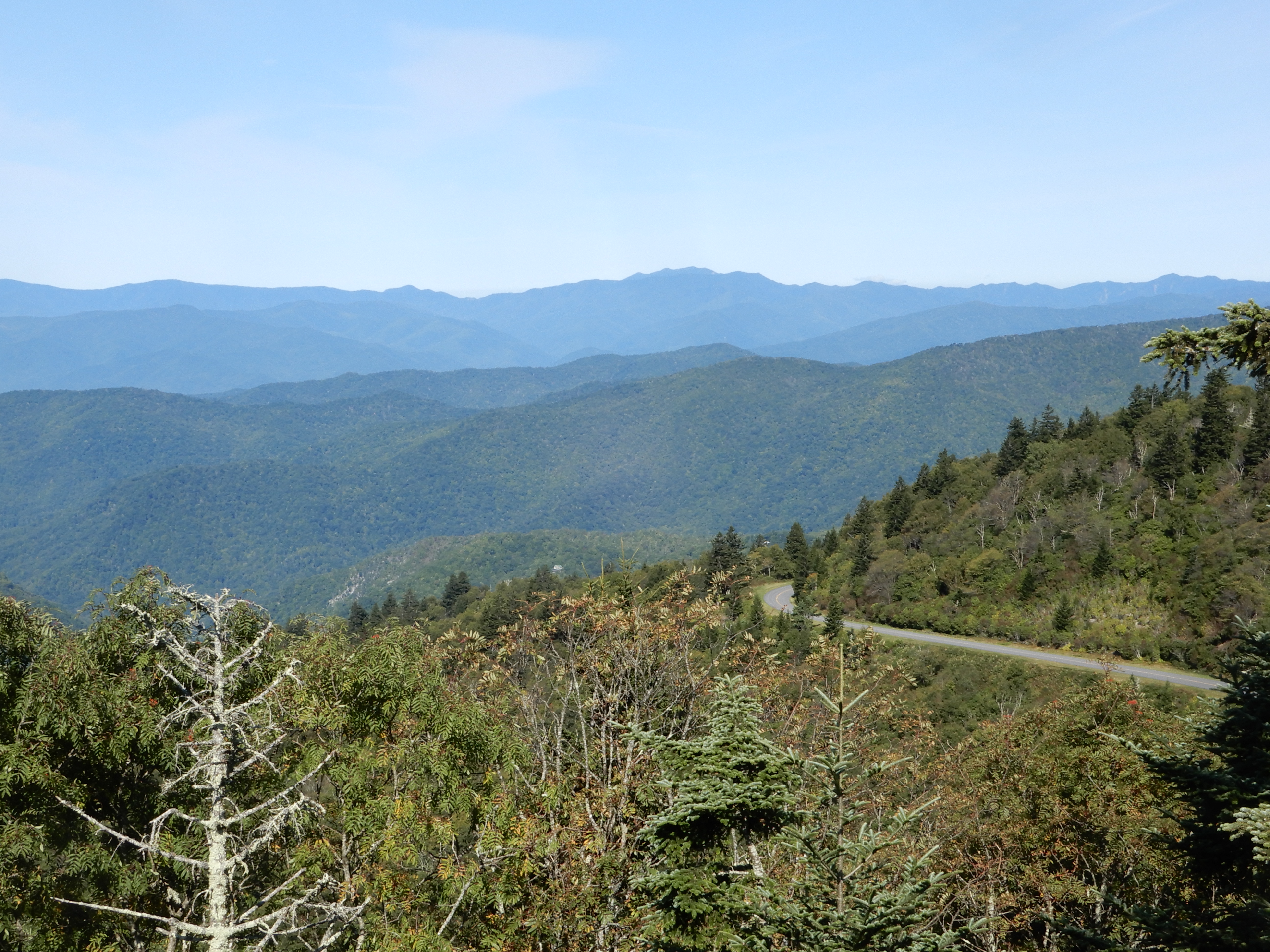
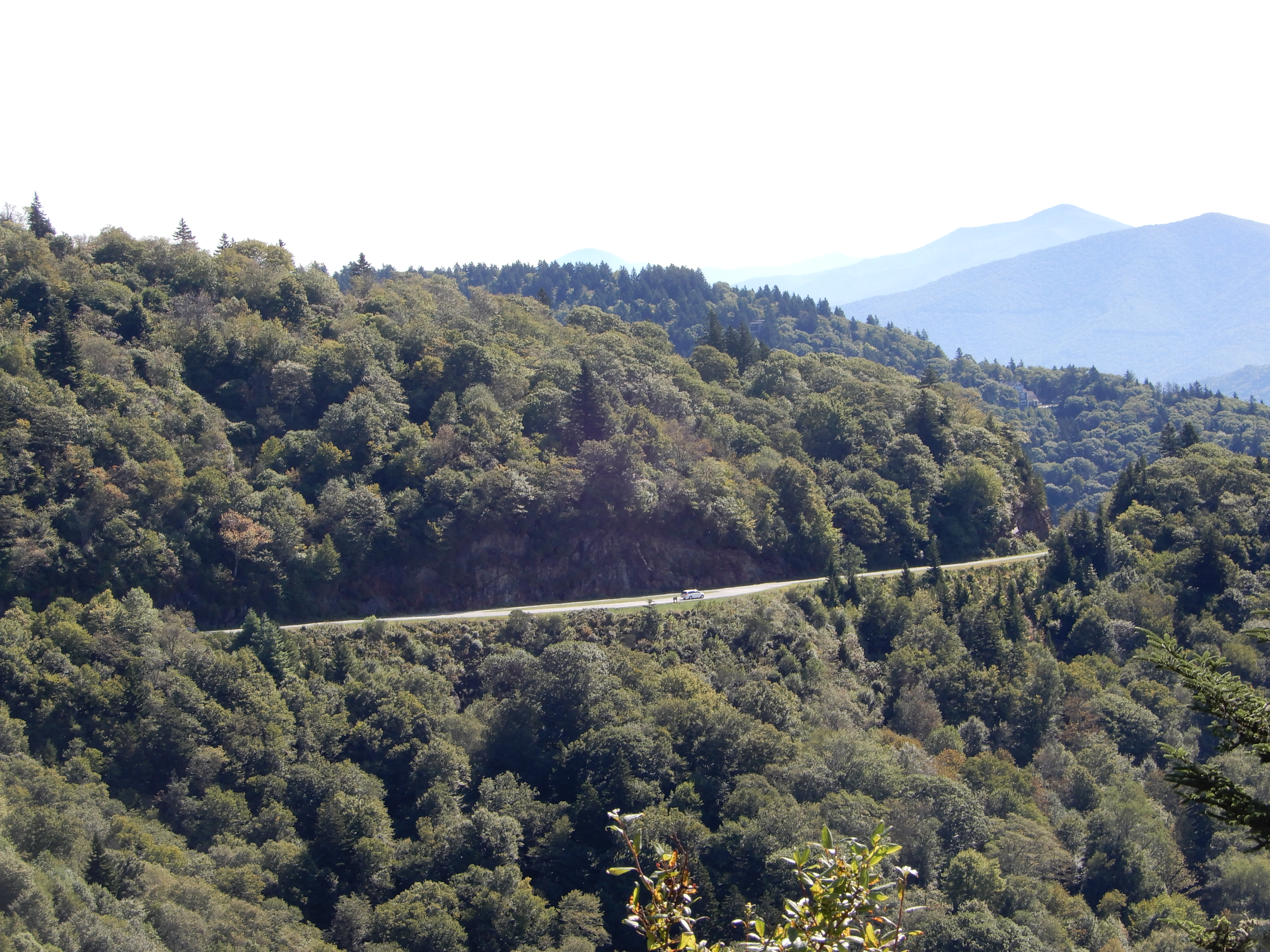
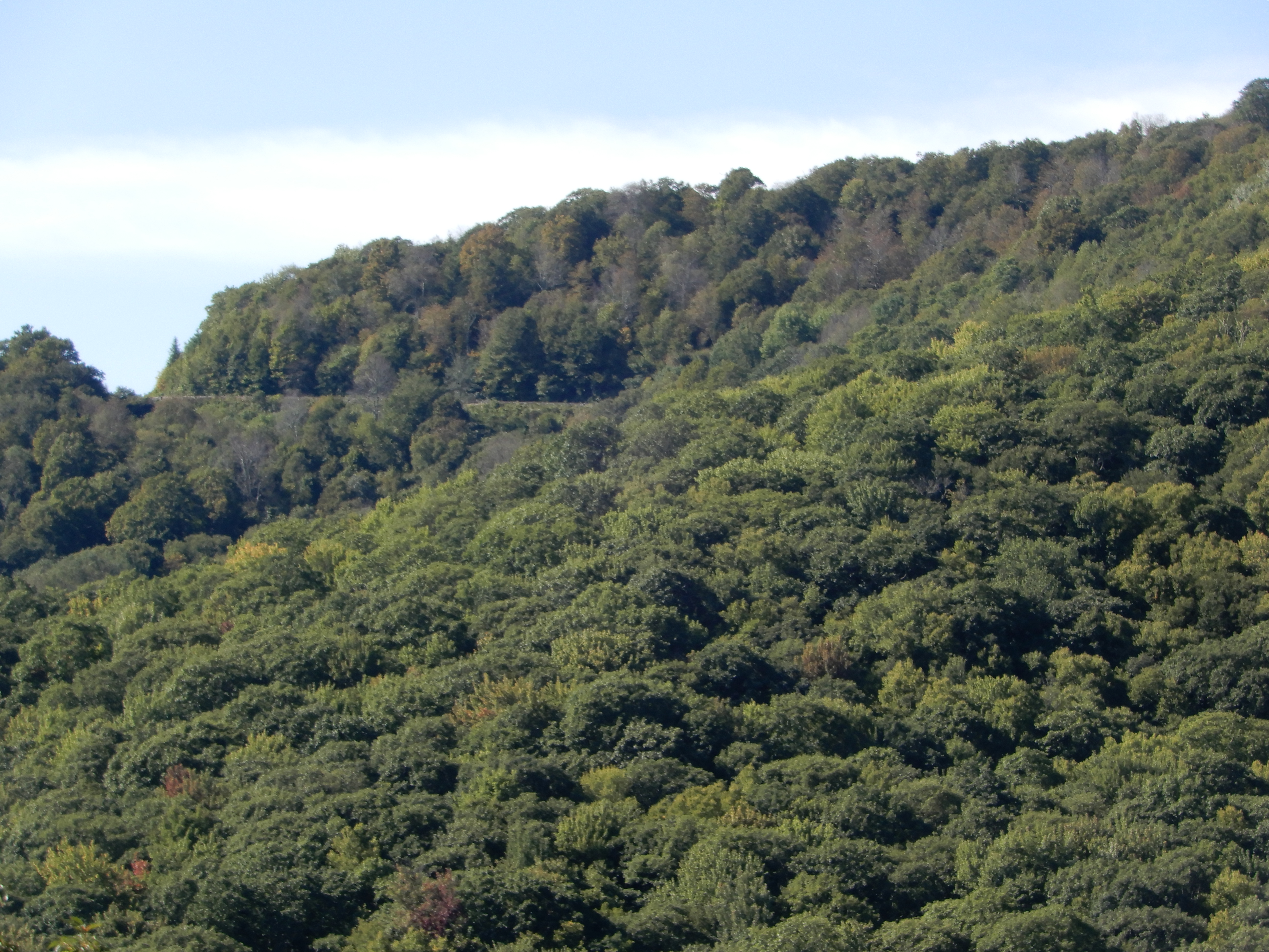
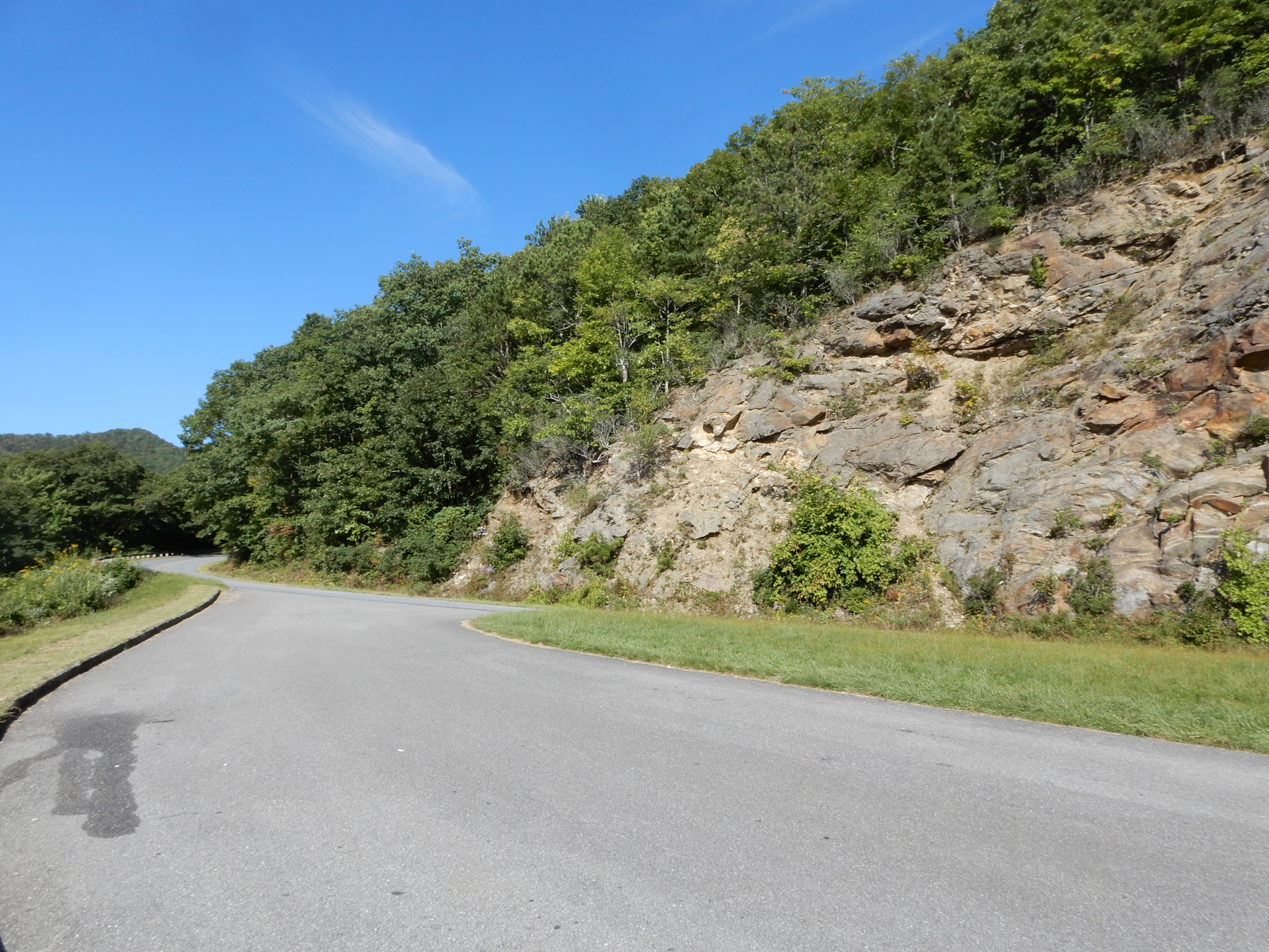
Early morning we left Mt. Pisgah Campground and continued south on the Parkway. This was the highest most rugged part of the Parkway – a great drive. We continued to go through a lot of tunnels. We pulled over for many overlooks.
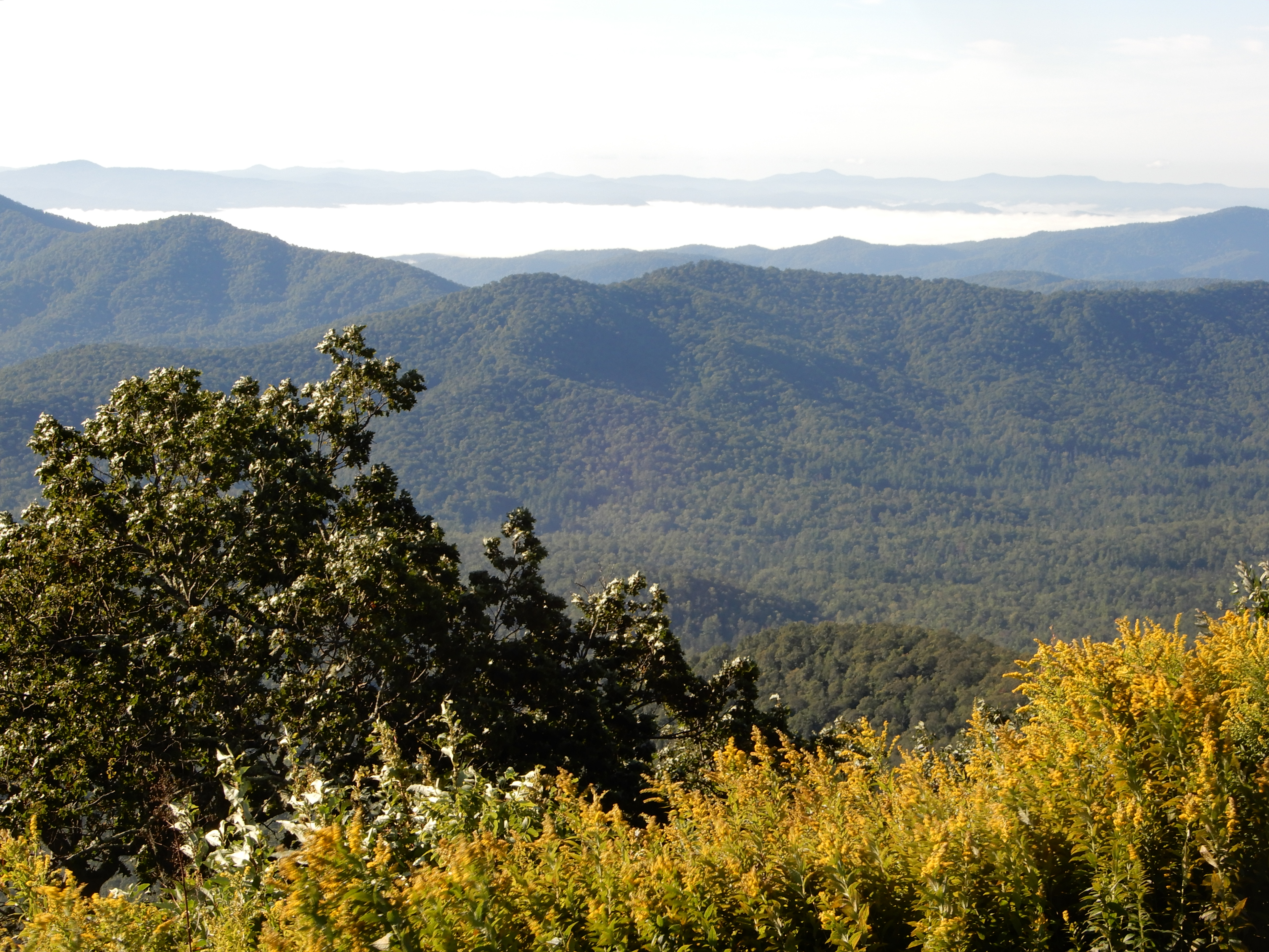
One of which was the highest point on the Parkway at 6050 feet.
From this point we started coming down fast.
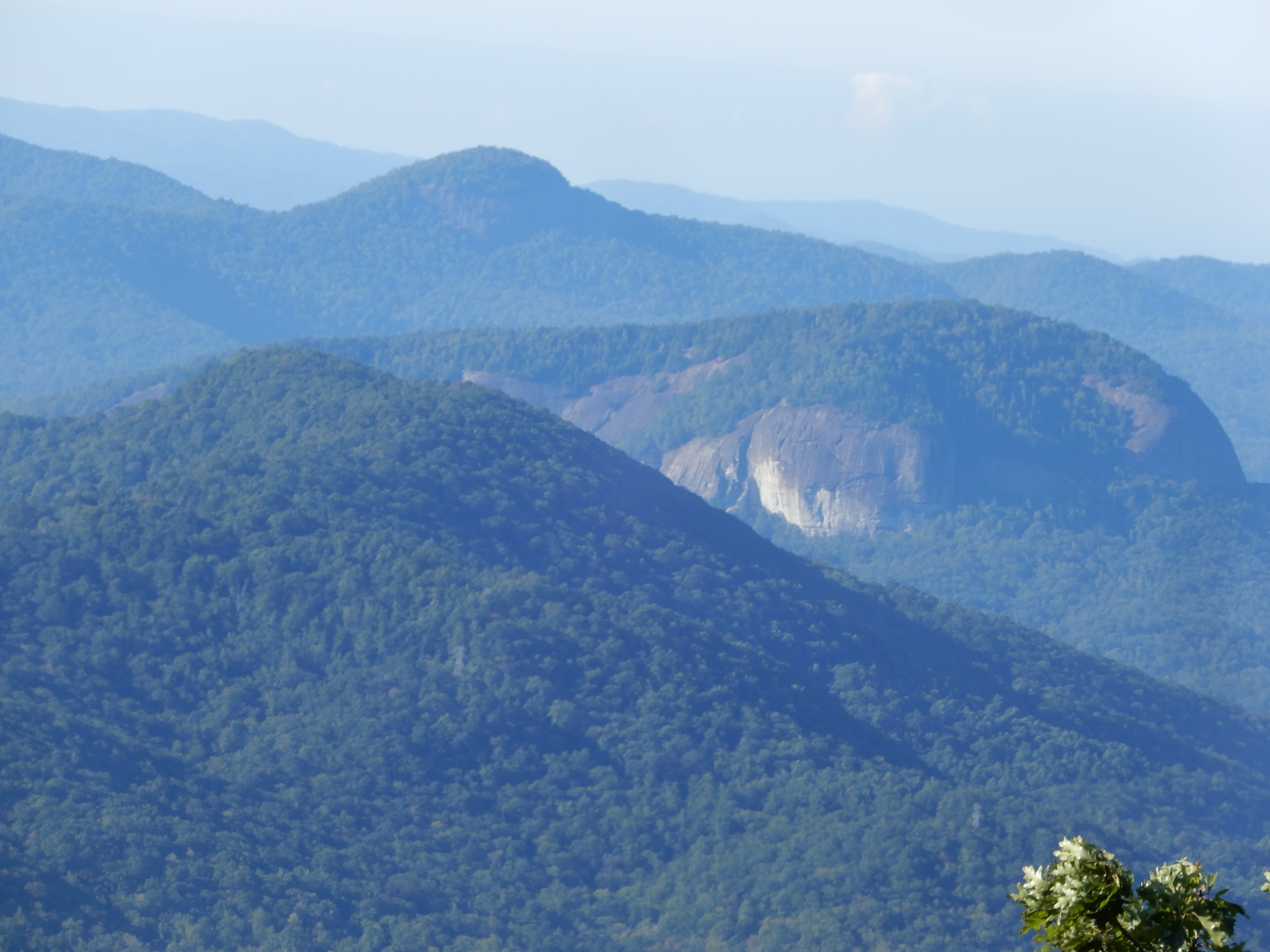
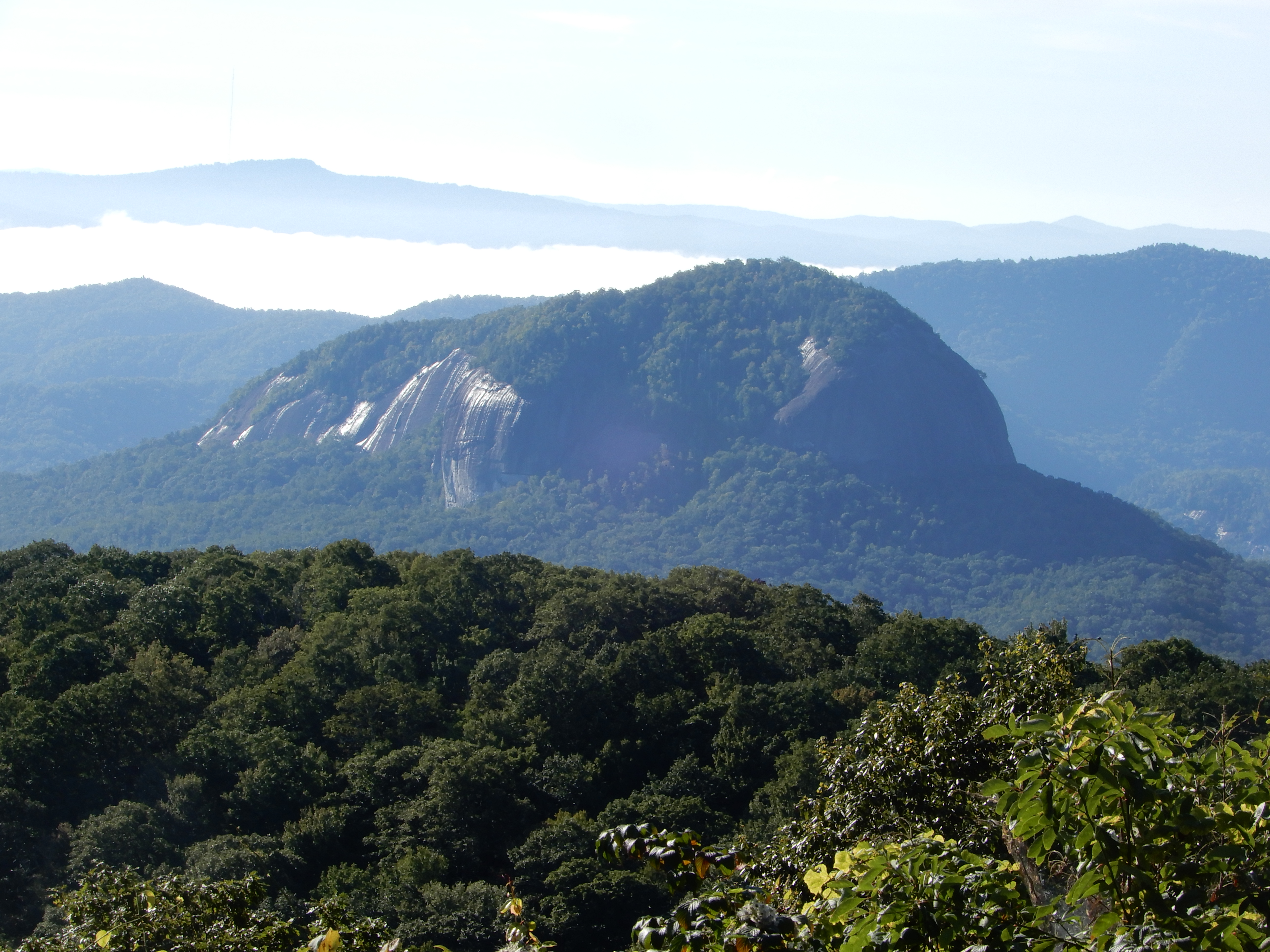
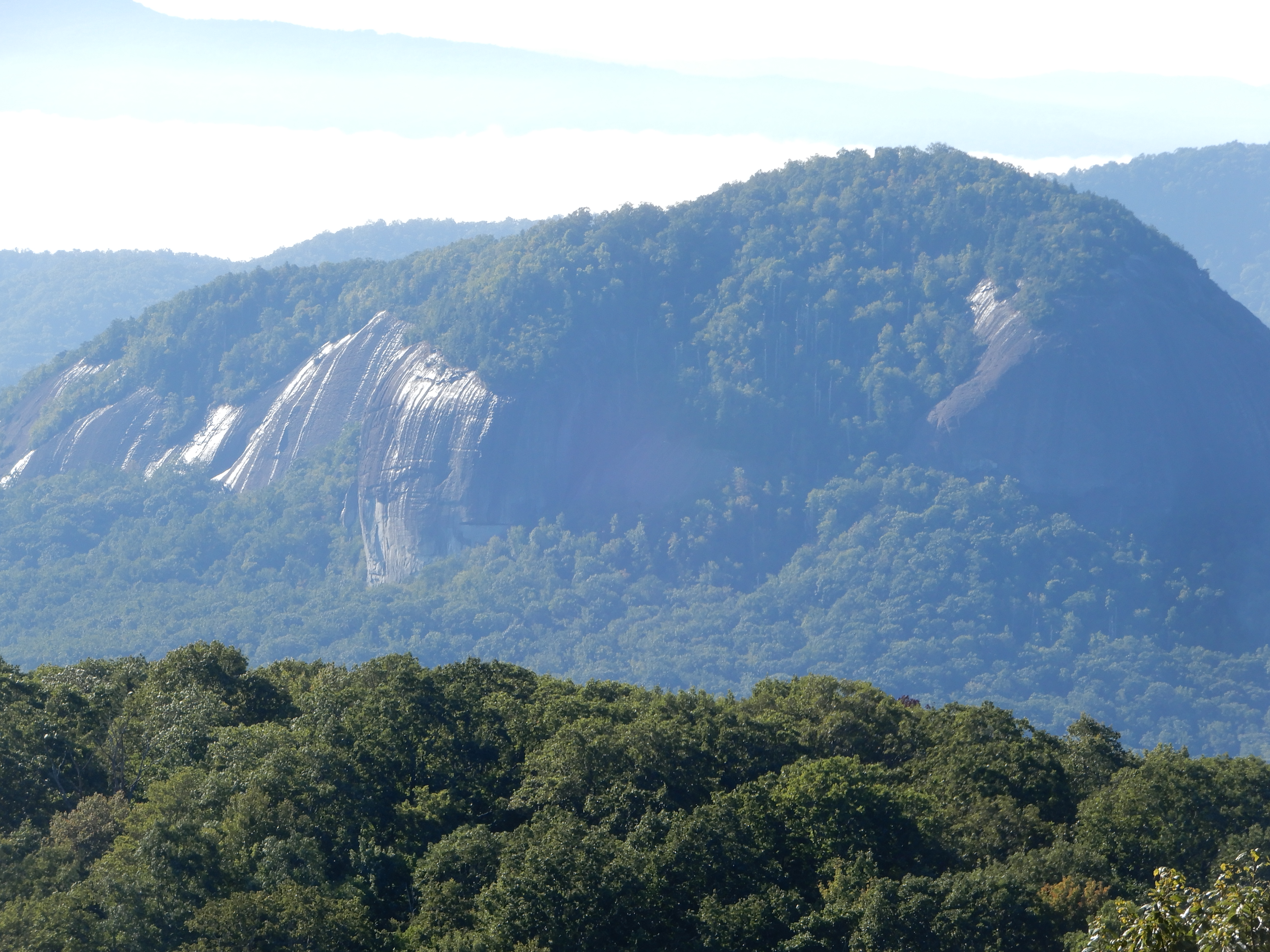
We passed this unusual mountain.
And this flat-top.
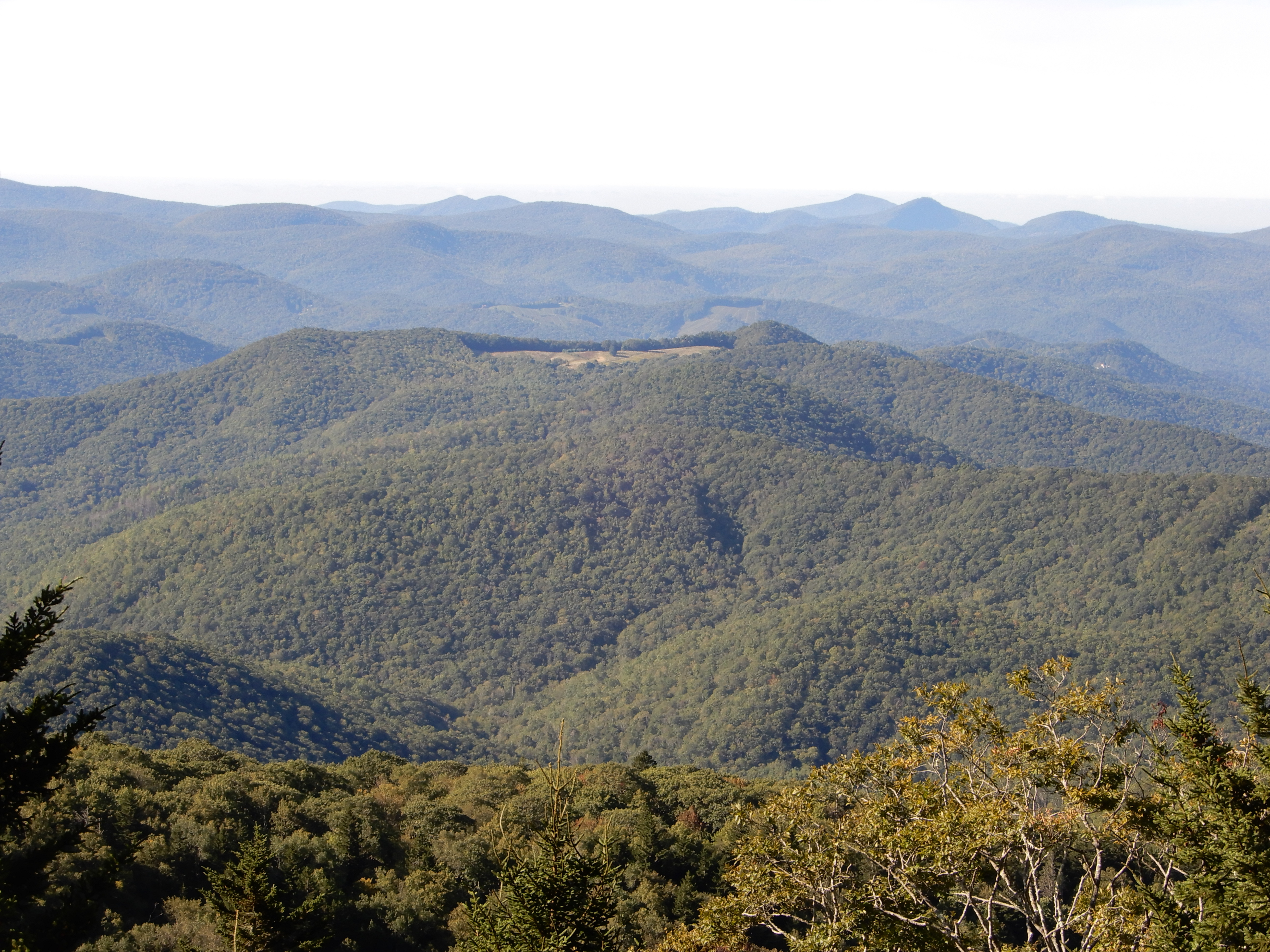
Down, down, down.
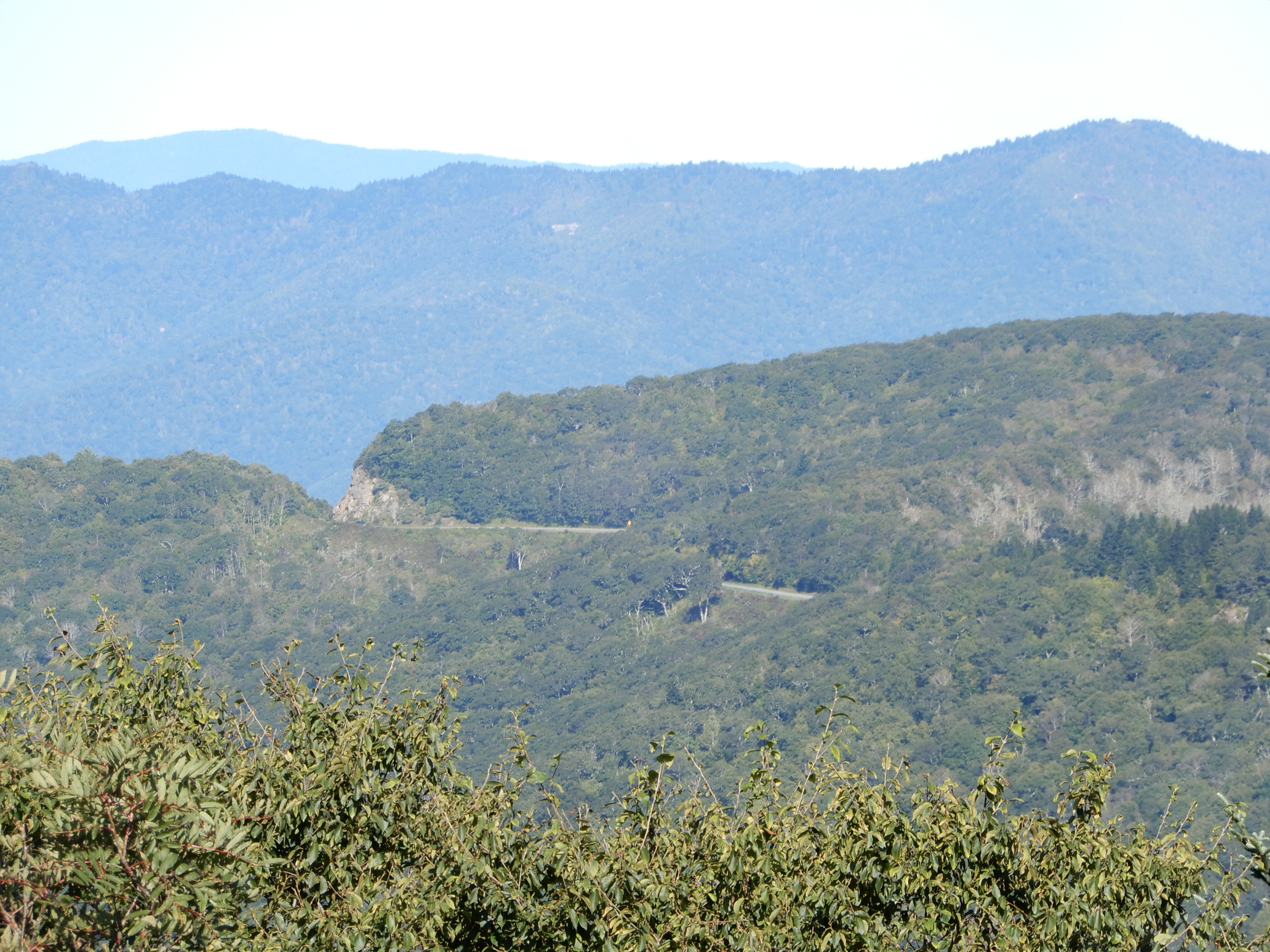
Stopping to look back.
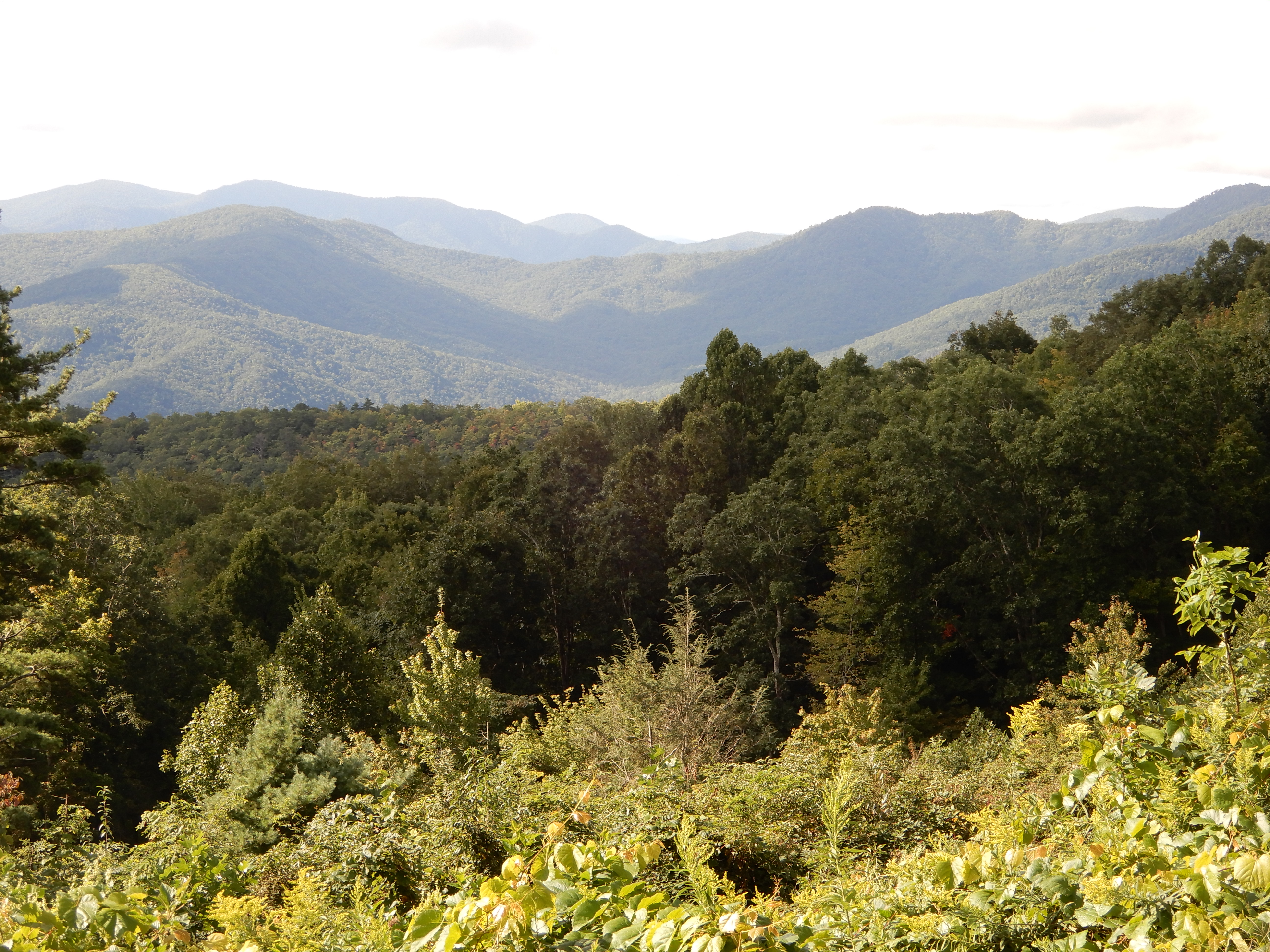
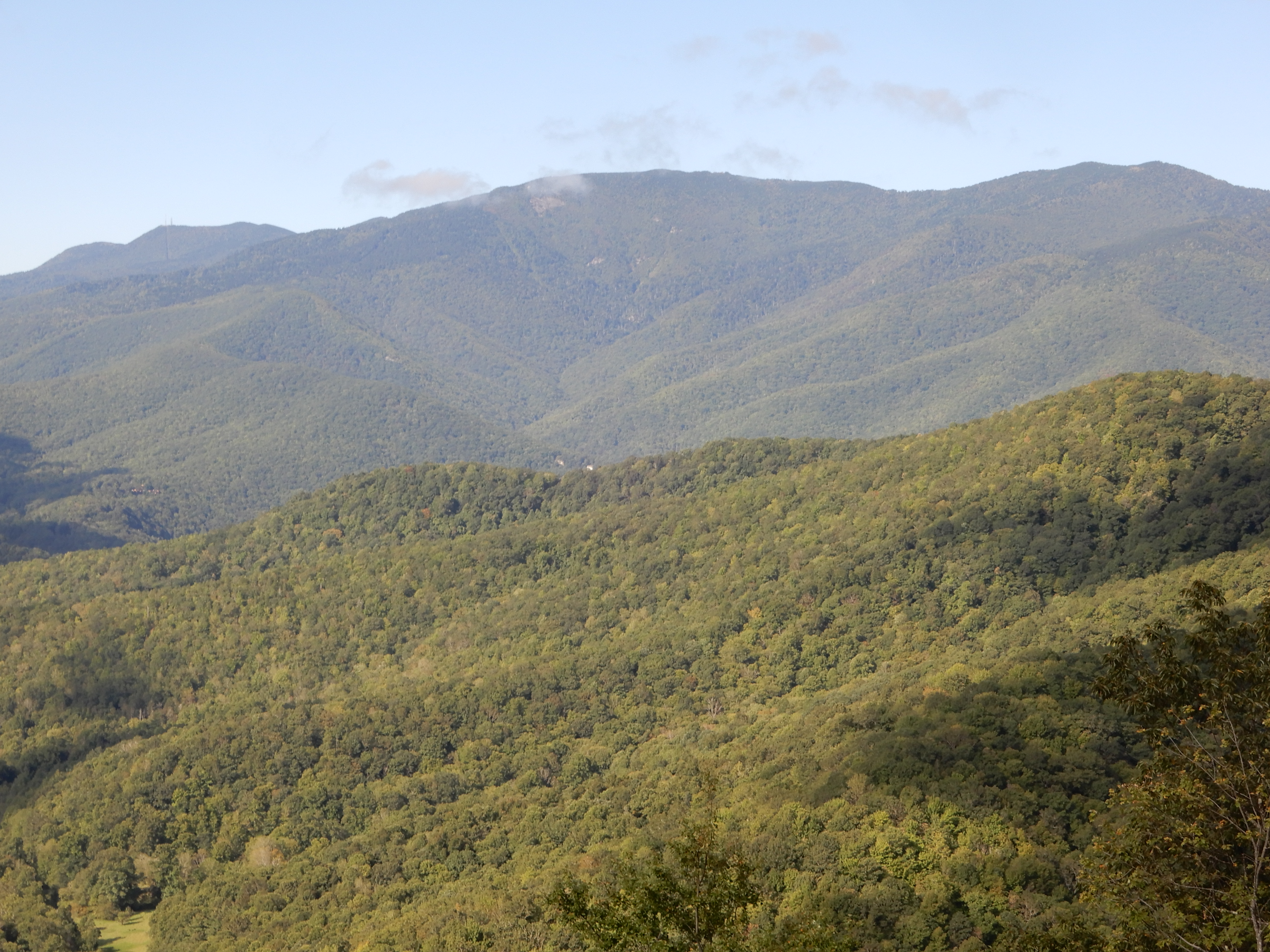
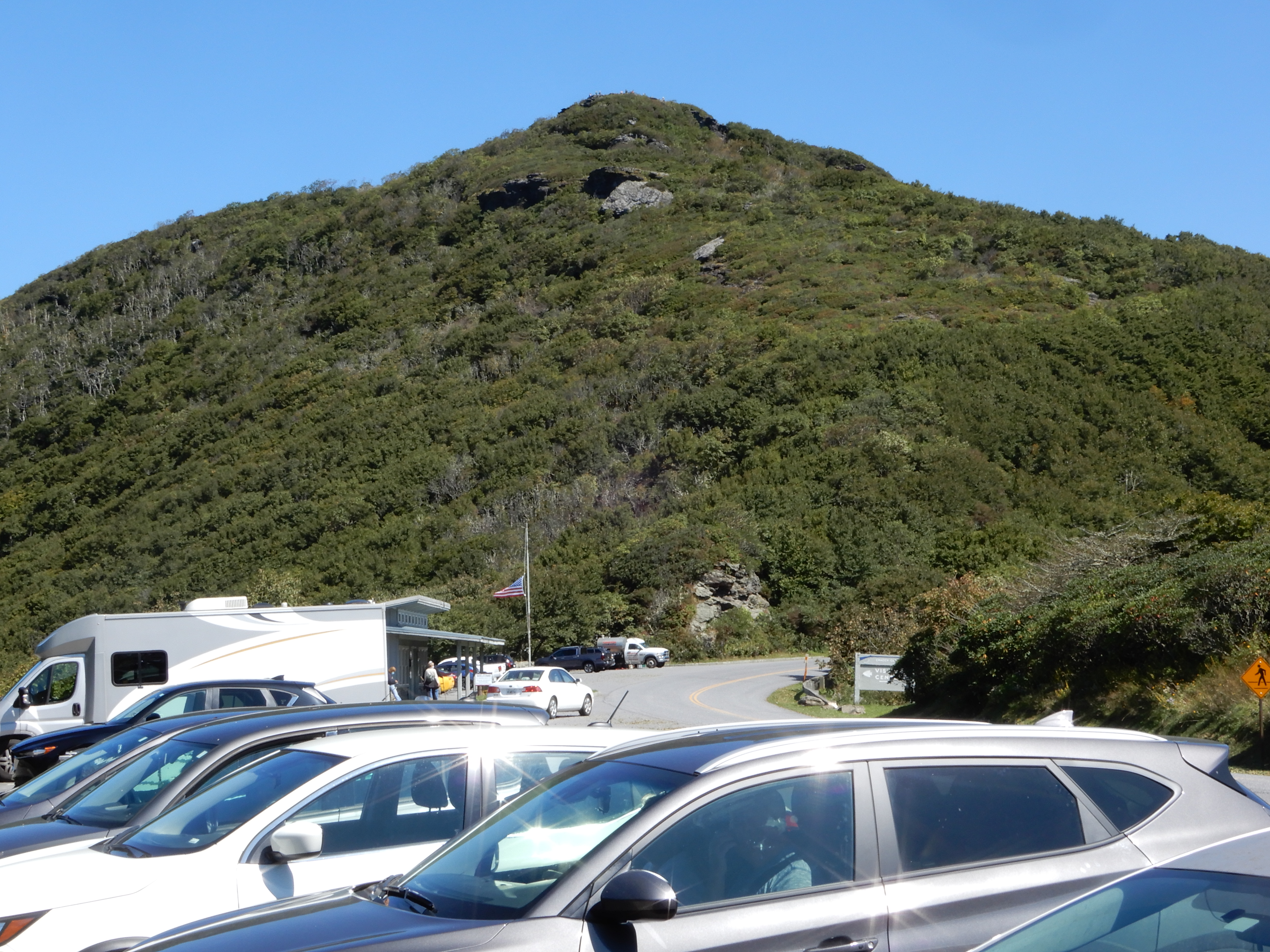
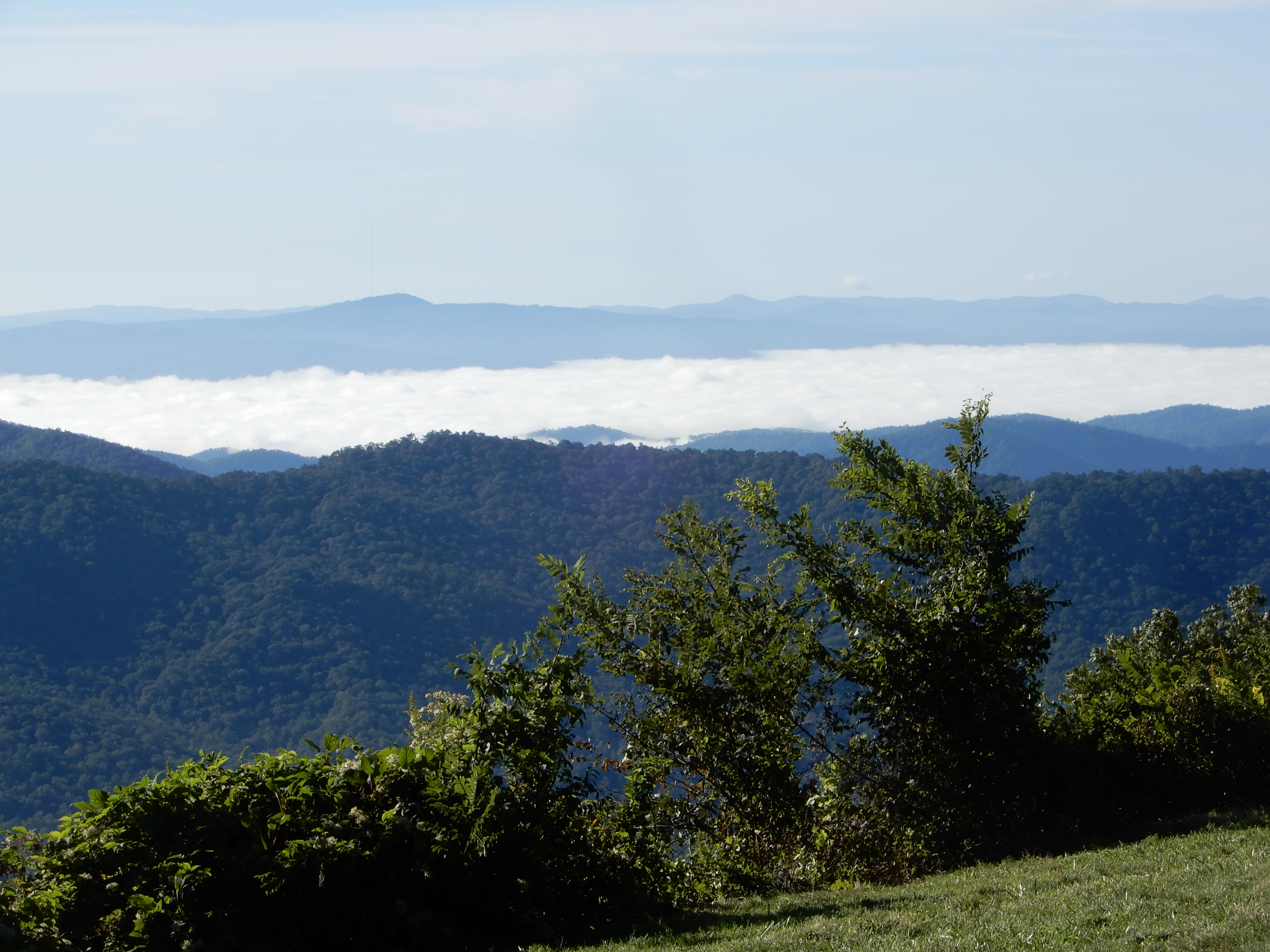
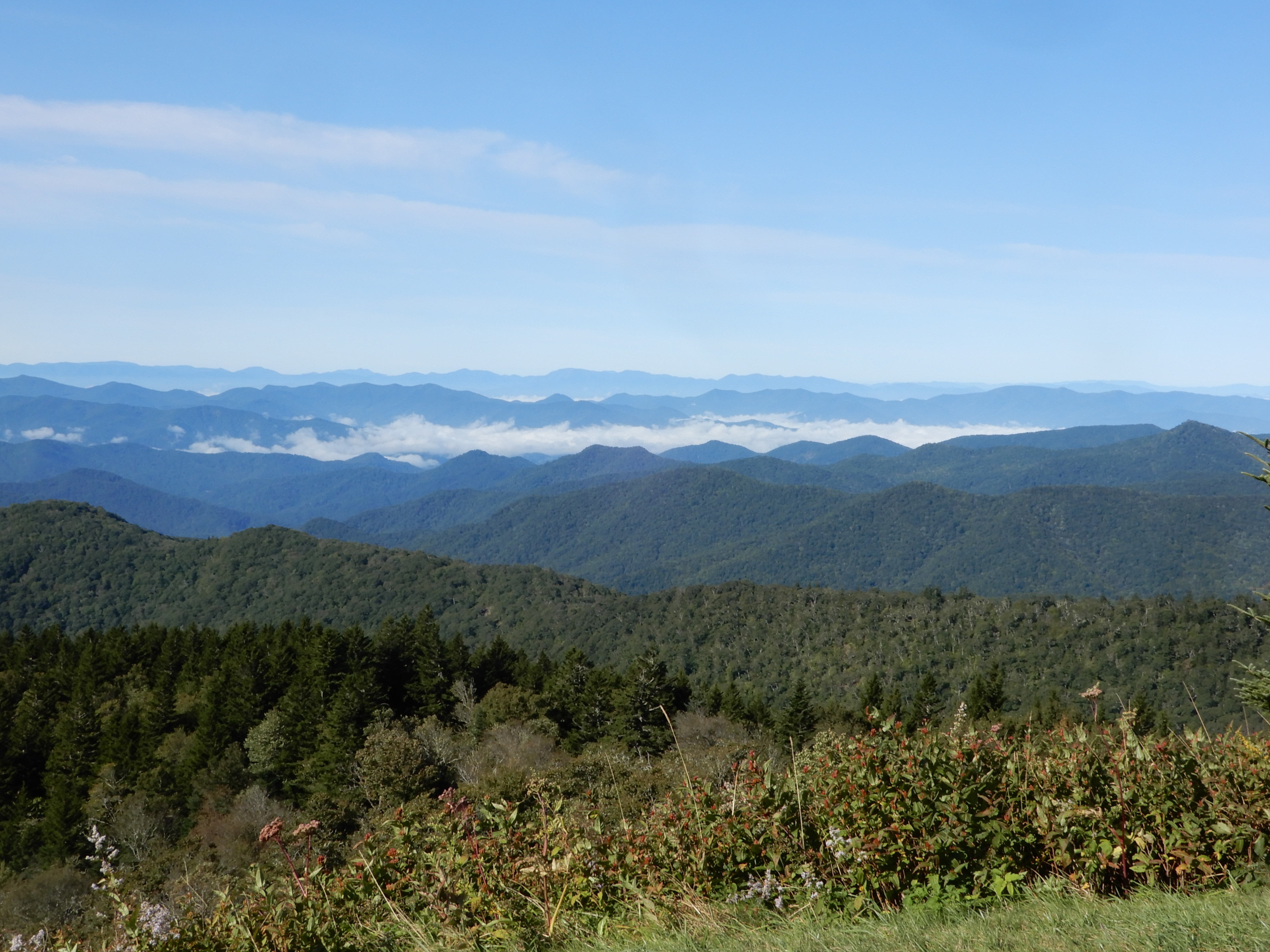
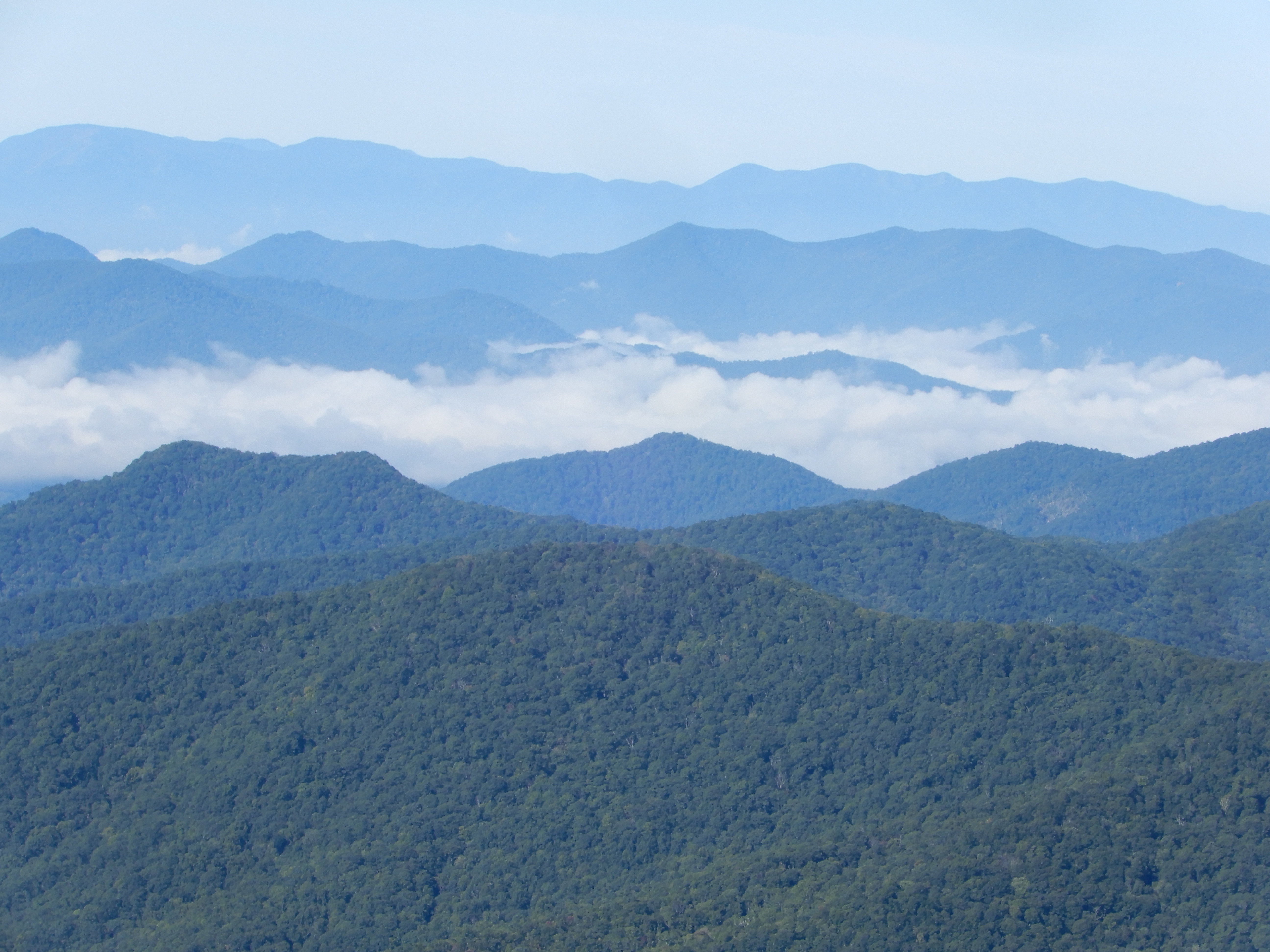
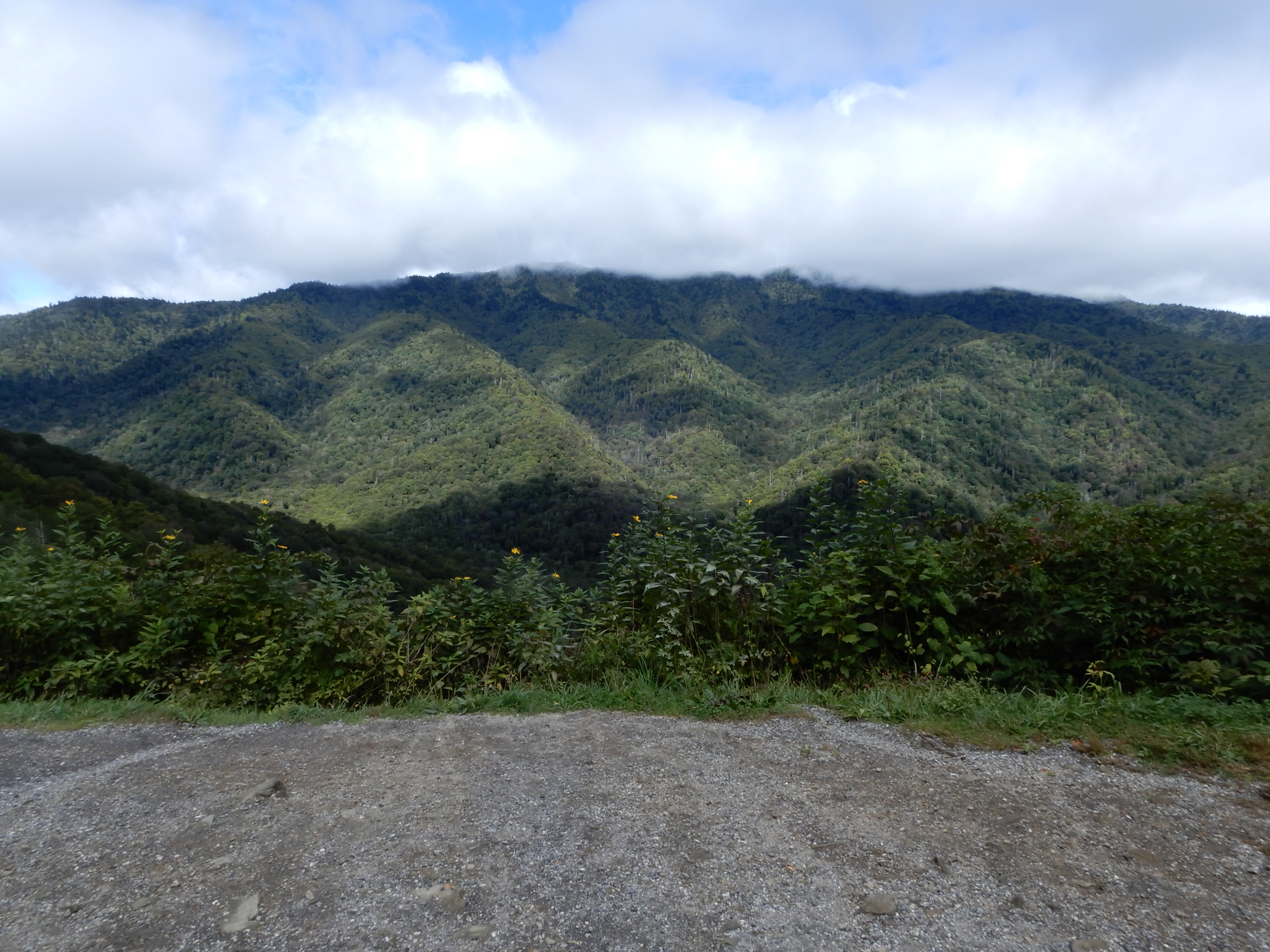
We stopped at the visitor center at MM451.
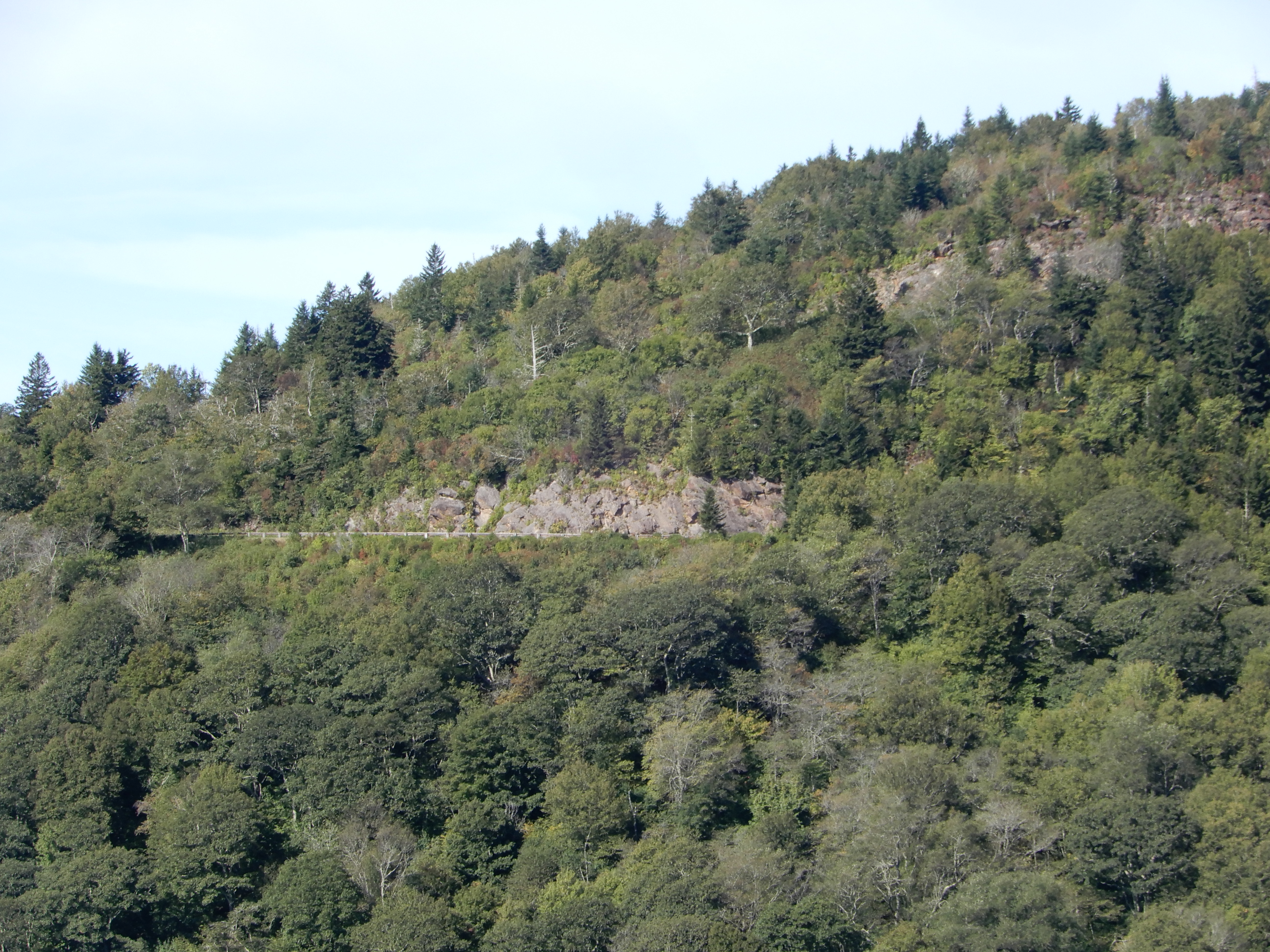
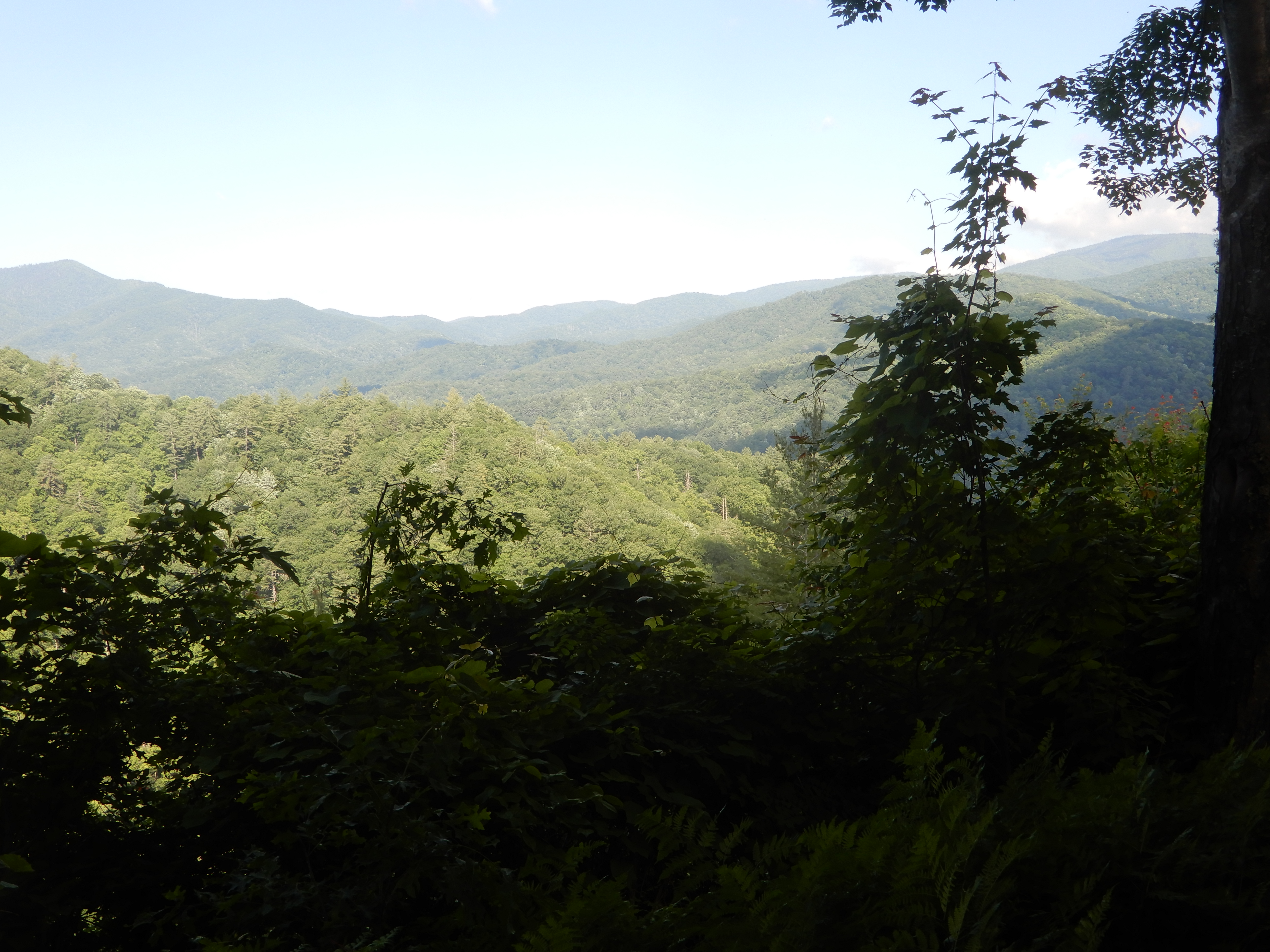
From there we could see the Smoky Mountains.

Our time on the Blue Ridge Parkway was over.
American Locations 17 – In and Out of Smoky Mountains National Park, North Carolina
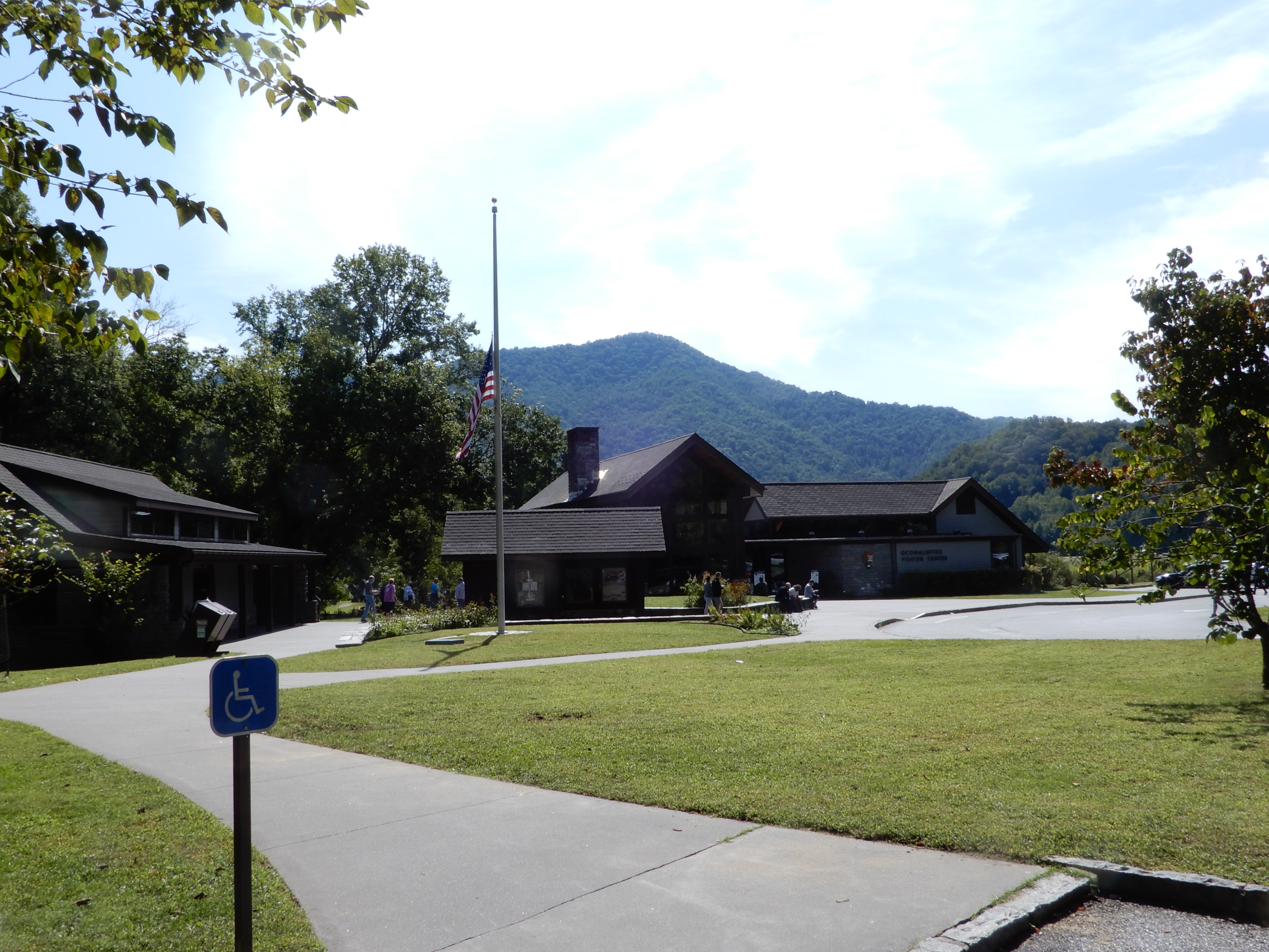
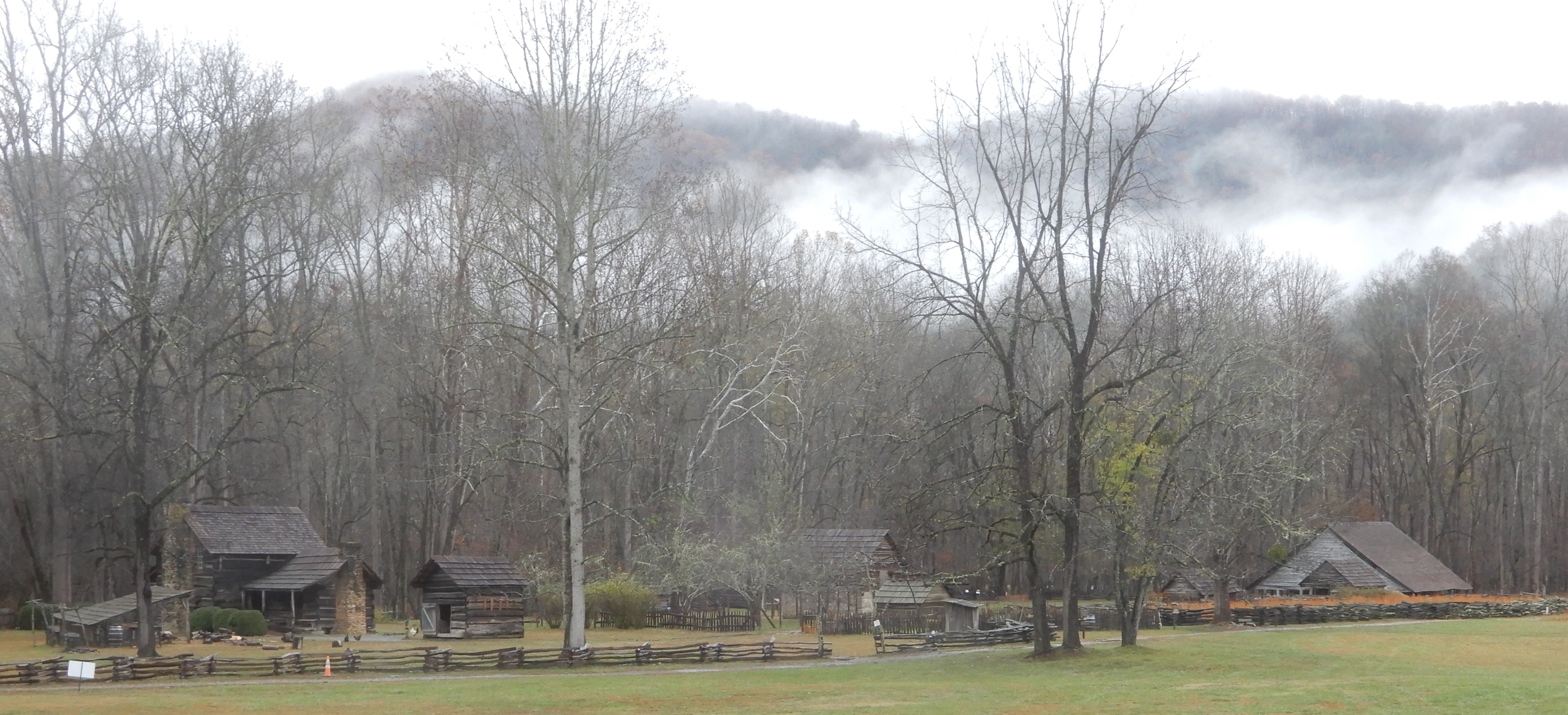
Reaching the south terminus of the Blue Ridge Parkway, which ended inside the Smoky Mountains National Park, we turned onto 441 and drove to the Oconaluftee Visitor Center. We ate lunch in the parking lot, then went in for some information.
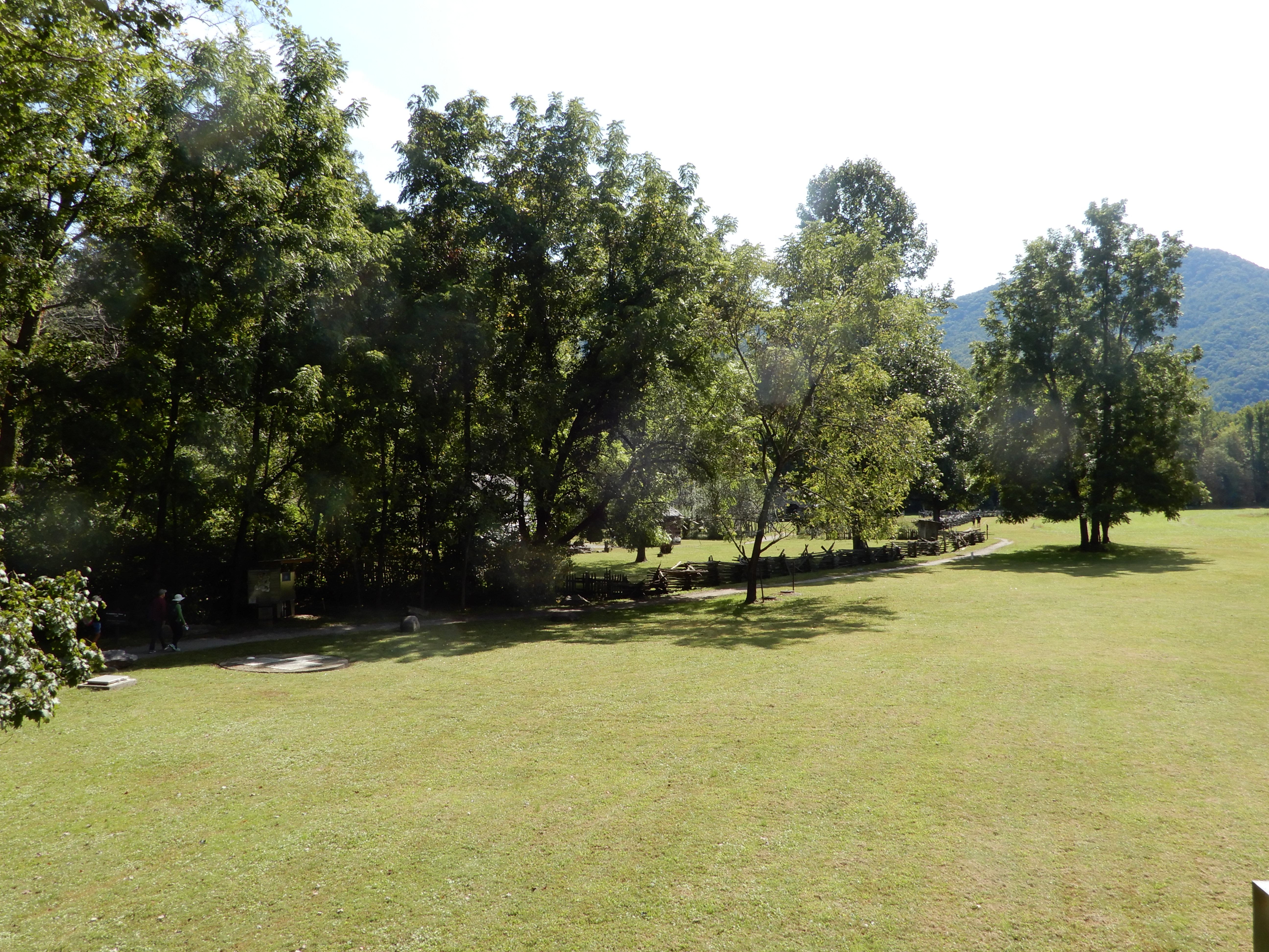
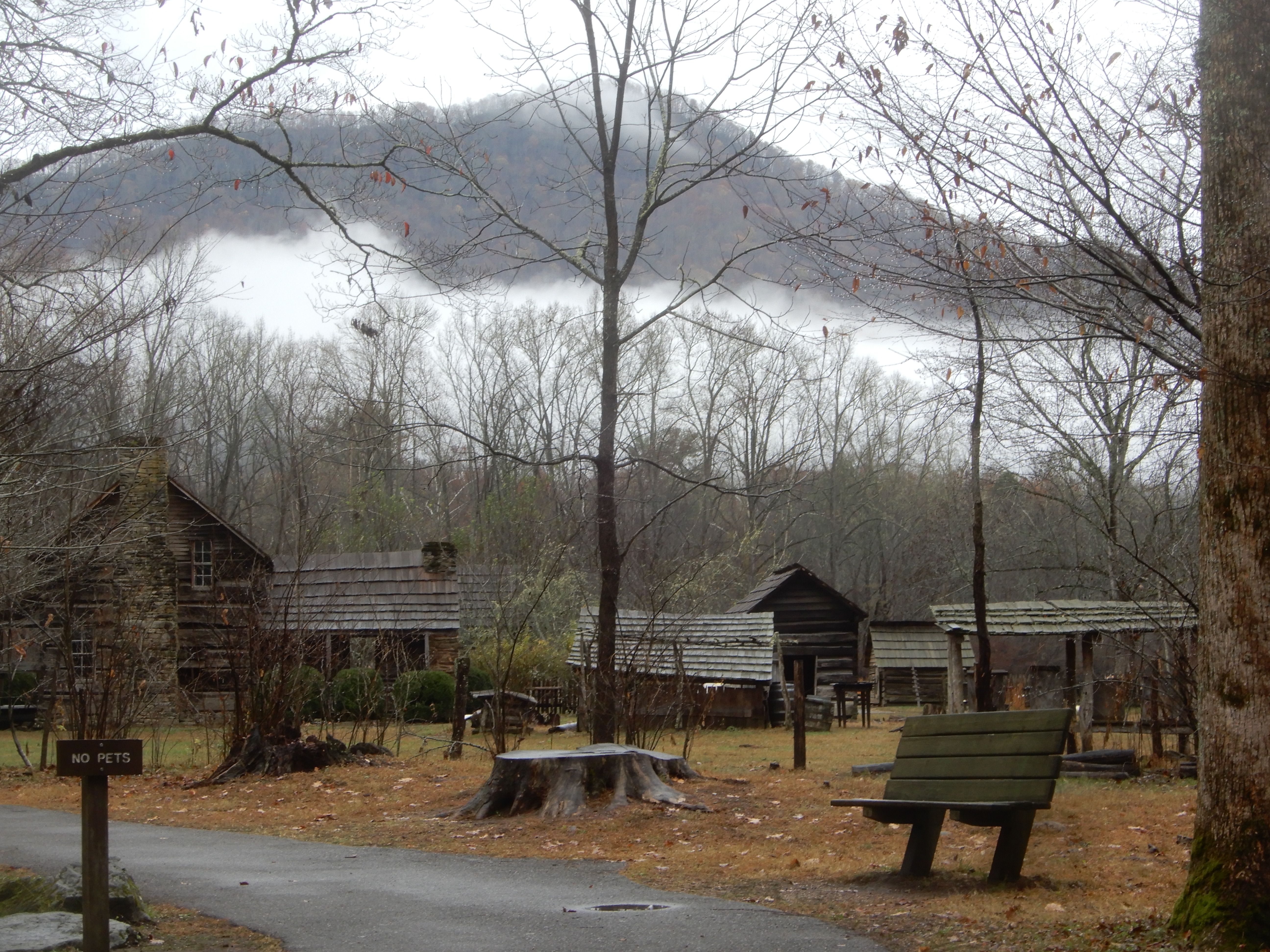
We then walked through the pioneer village.
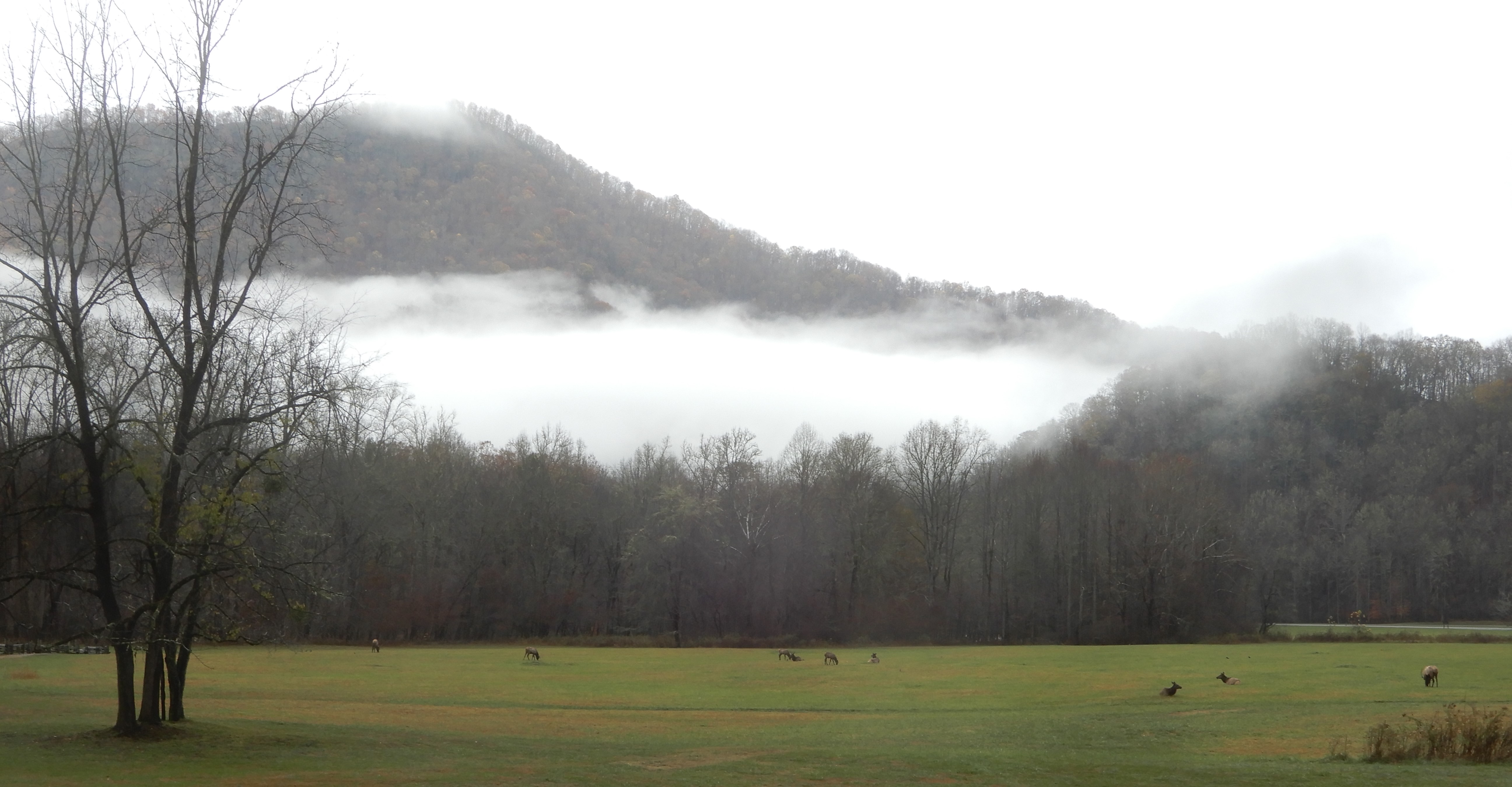
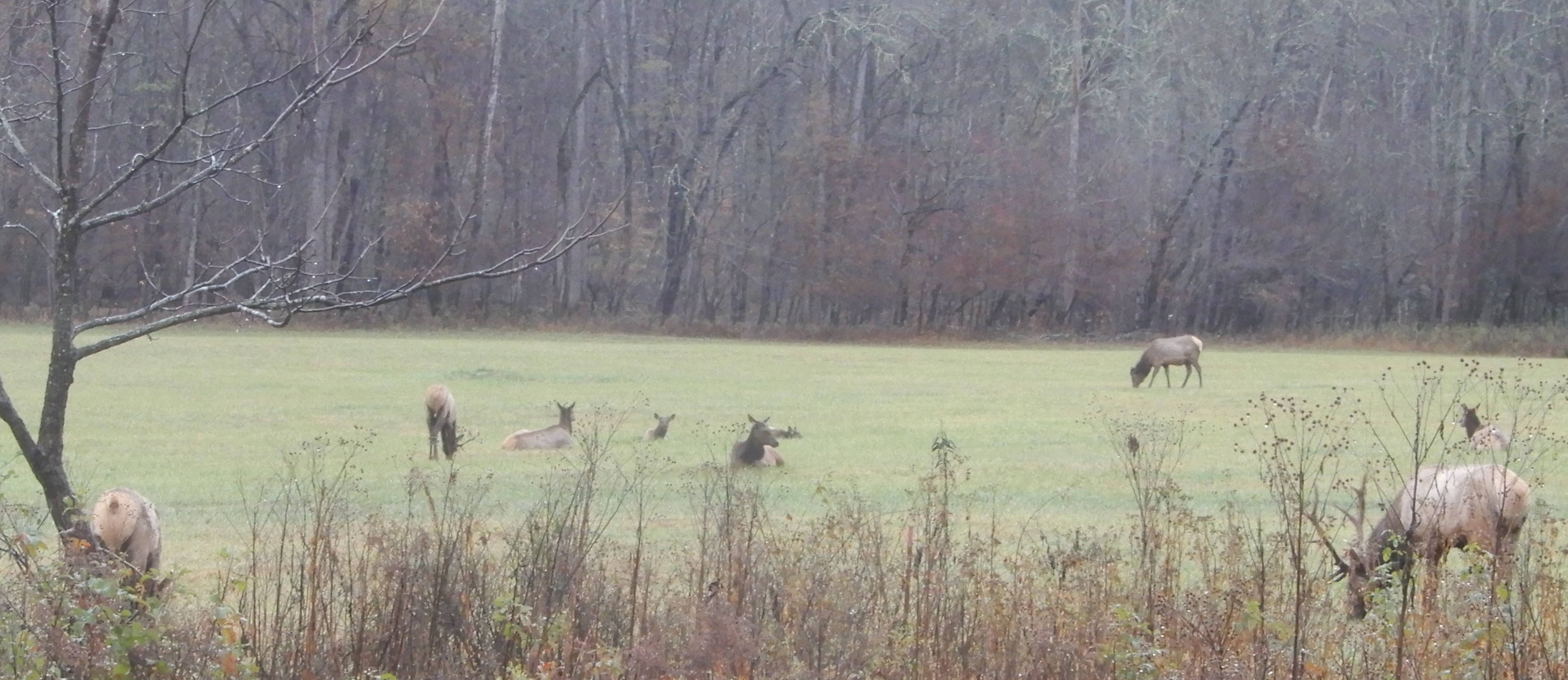
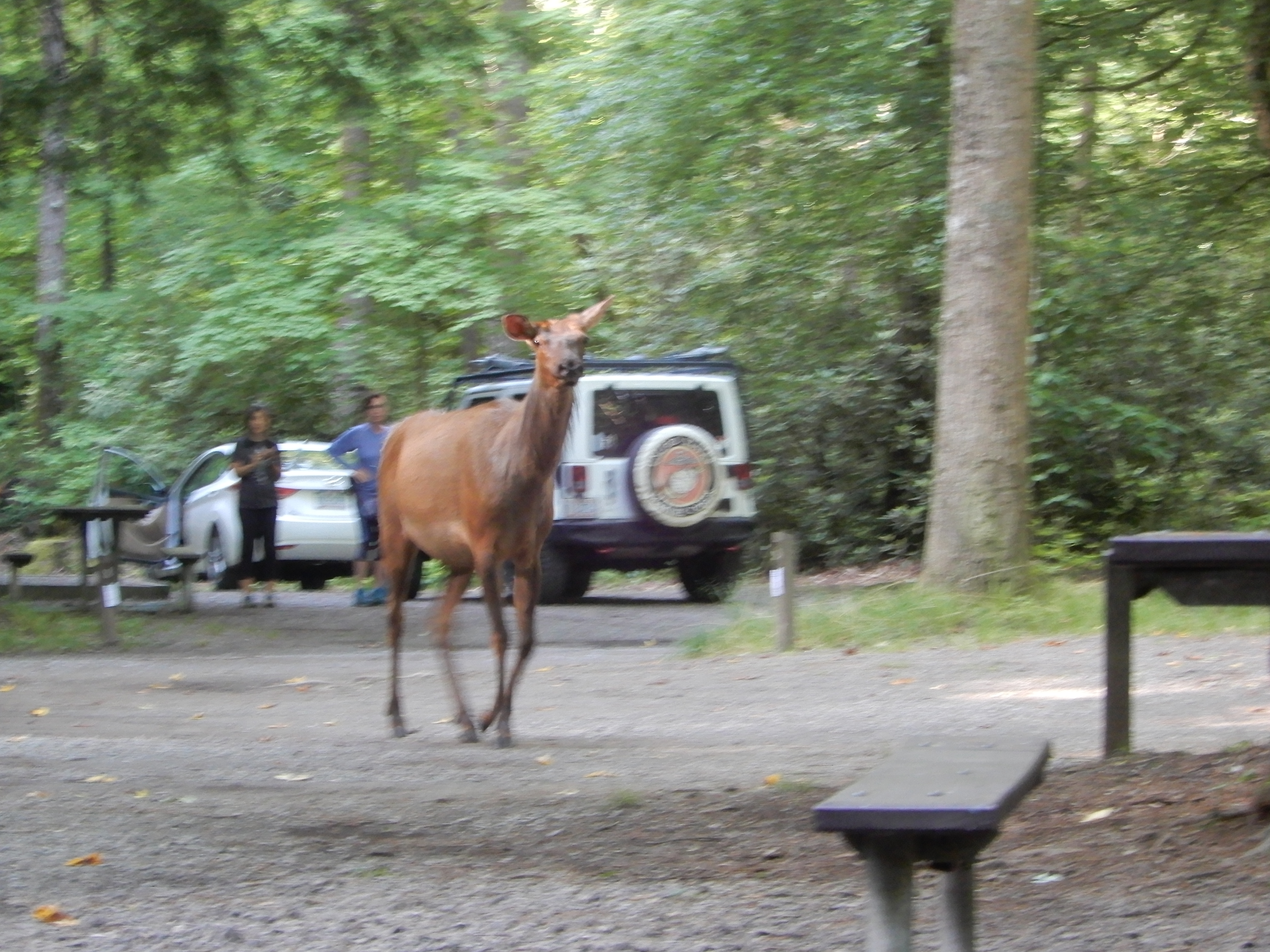
There is a sizable elk herd there, which we viewed from a distance.
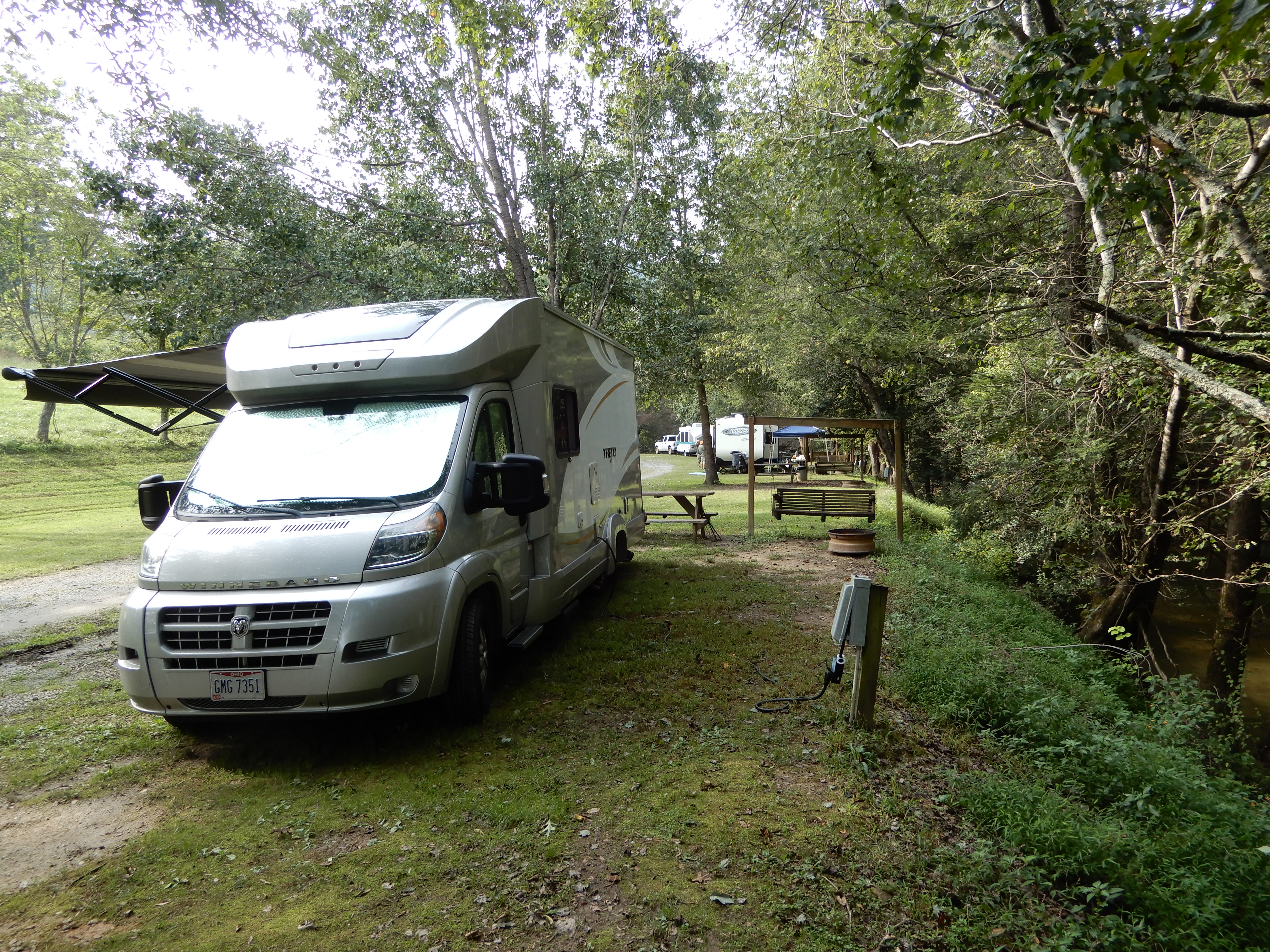
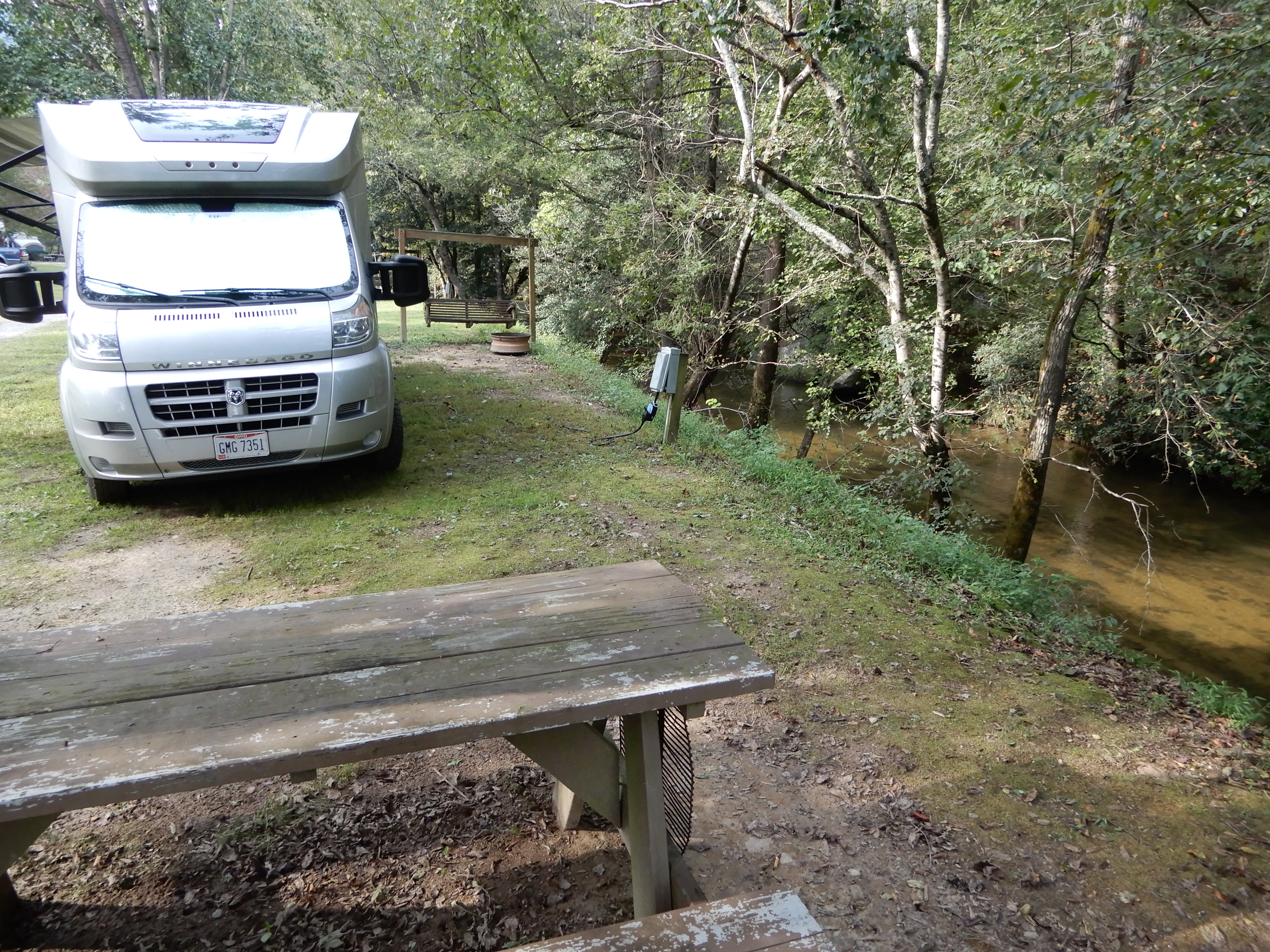
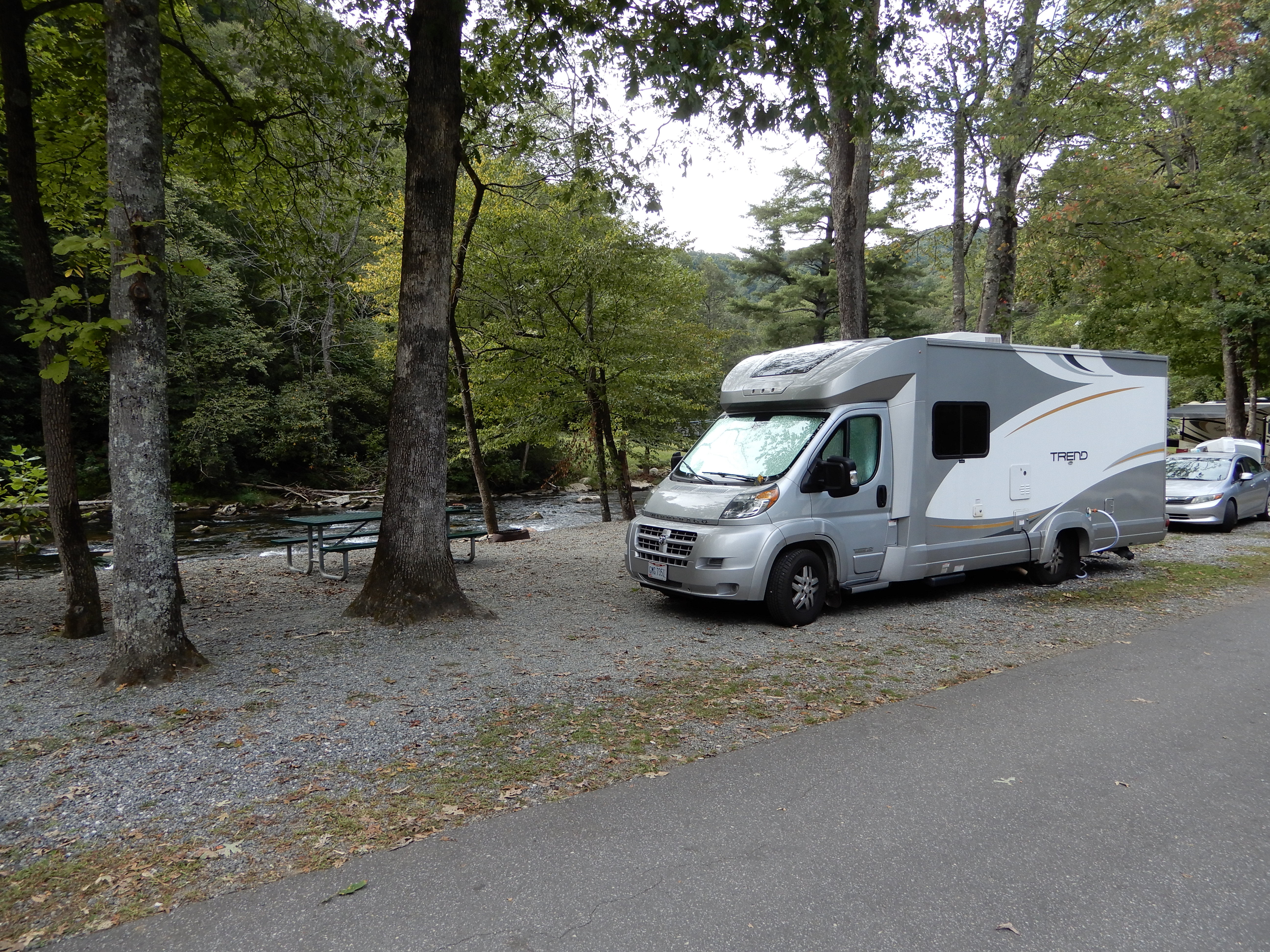
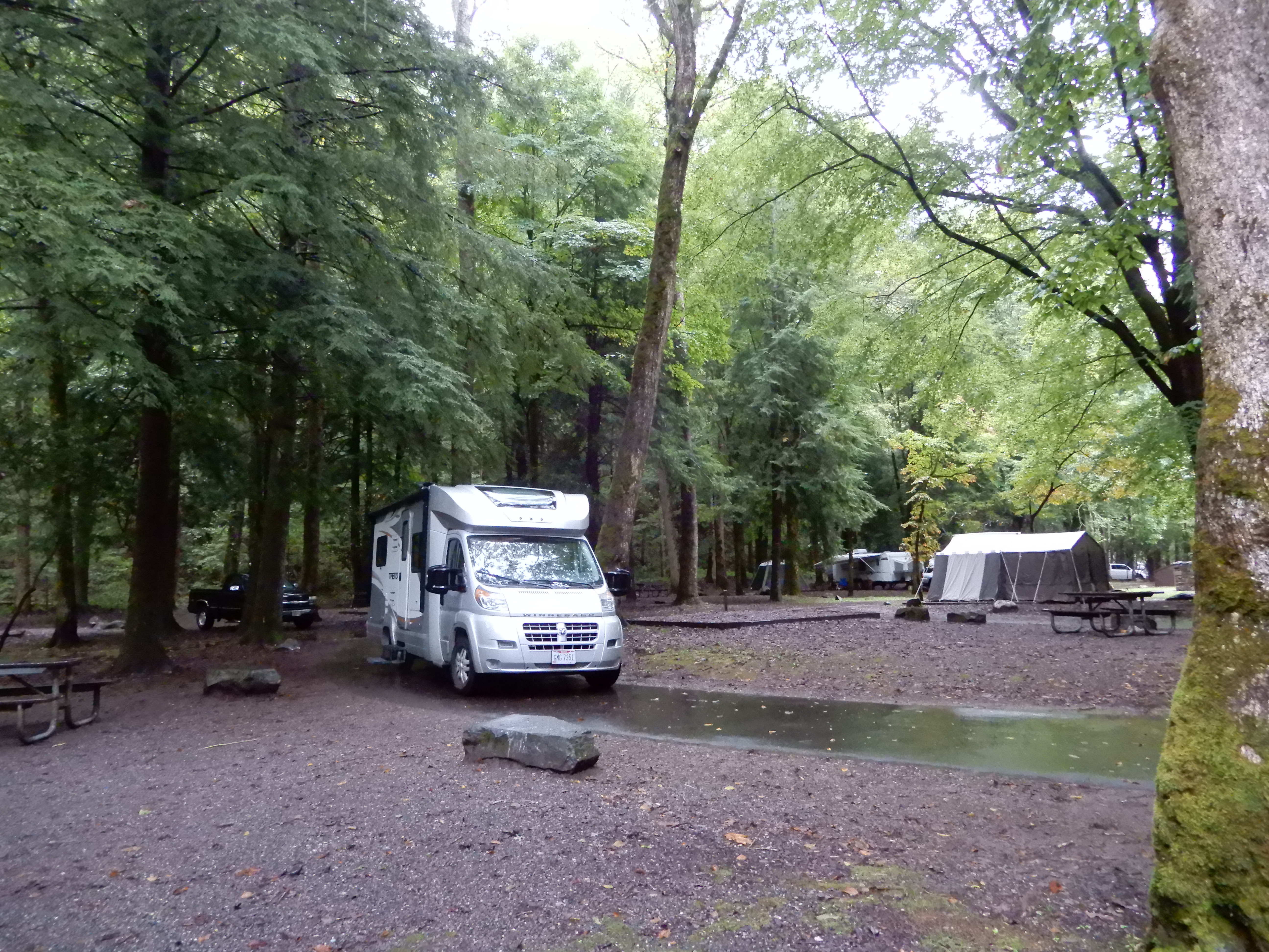
We drove out of the park into Cherokee. Outside of town we found a private campground, River Valley, and set up in a beautiful site alongside a roaring mountain river.
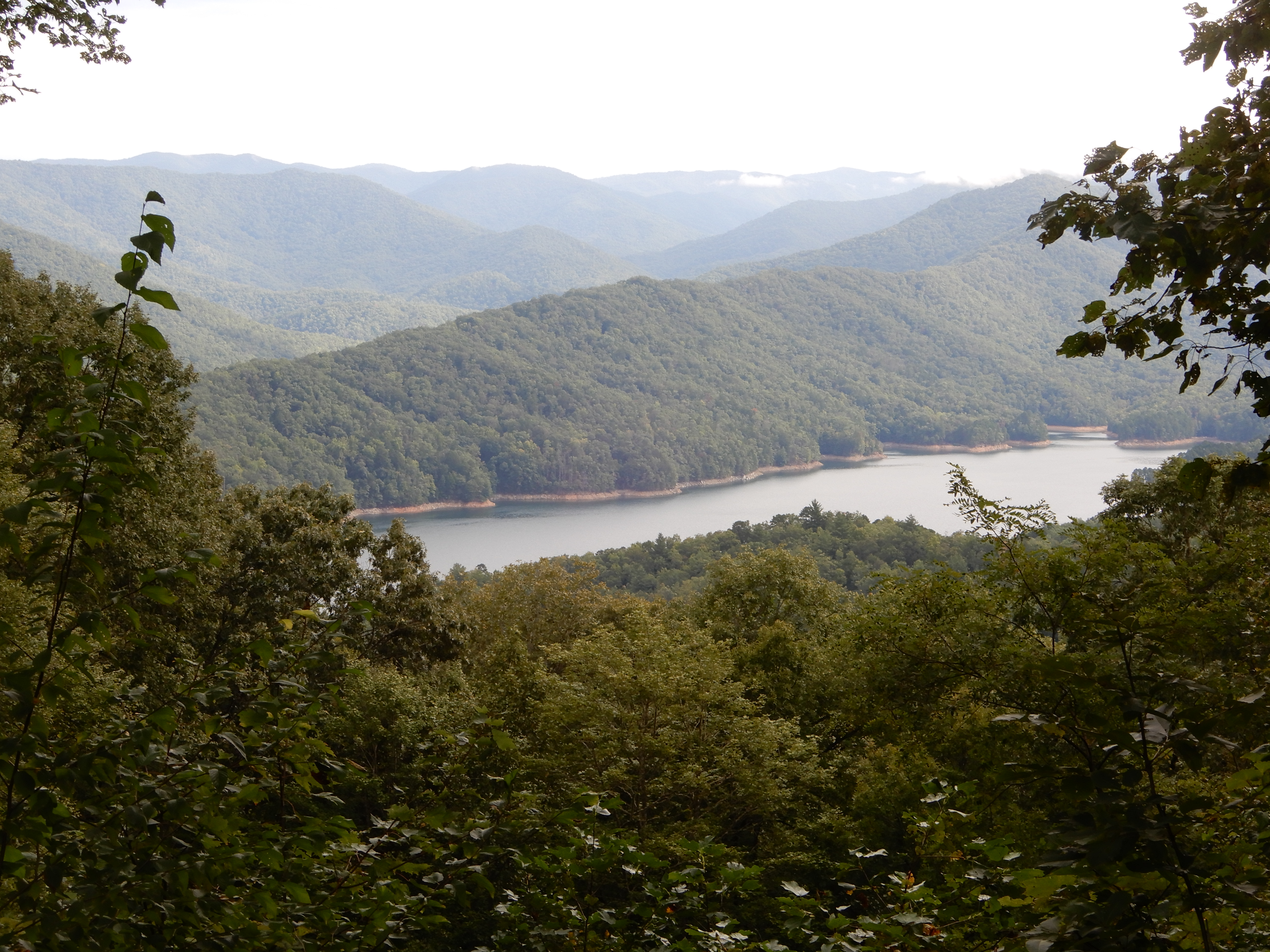
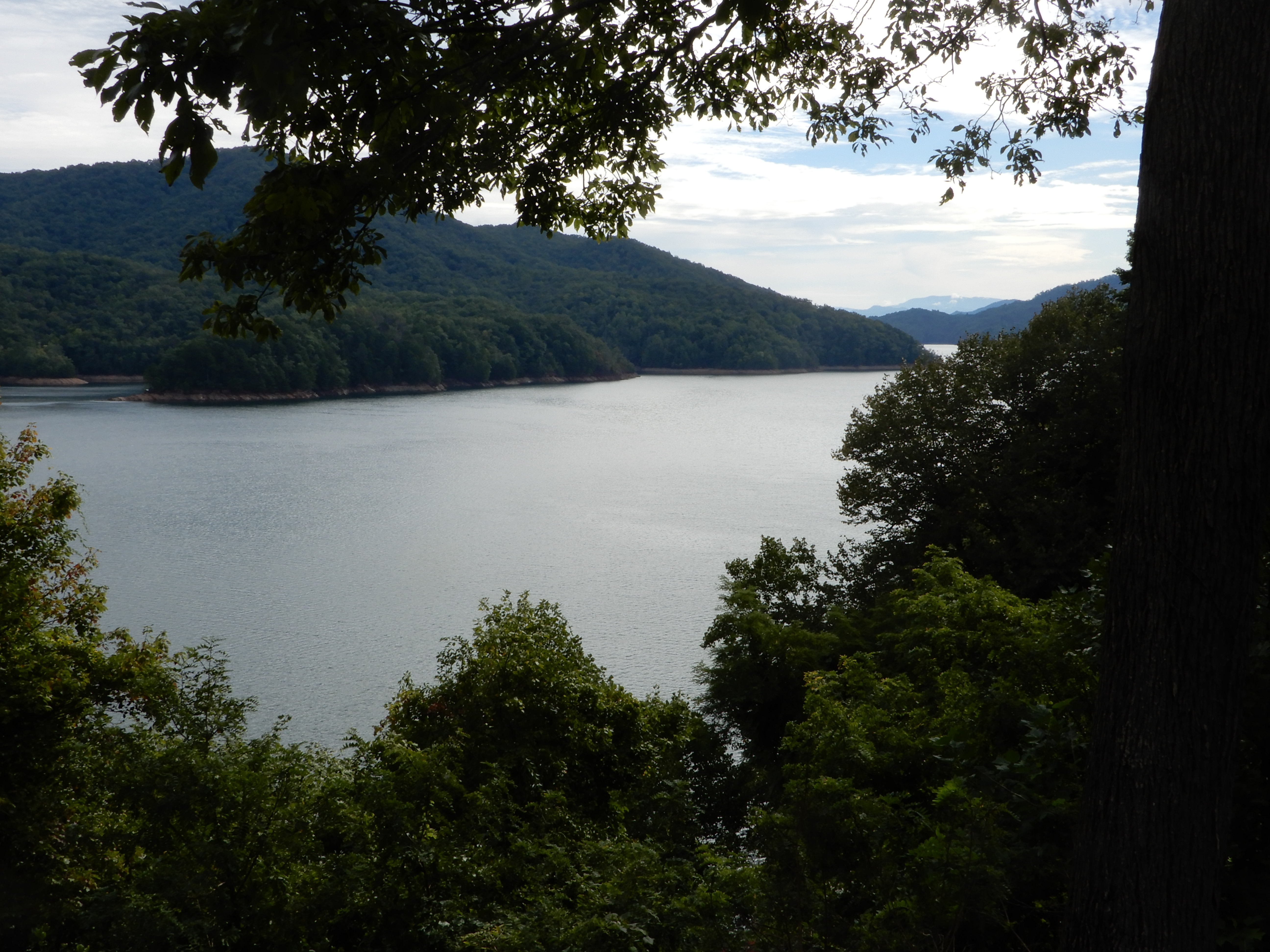
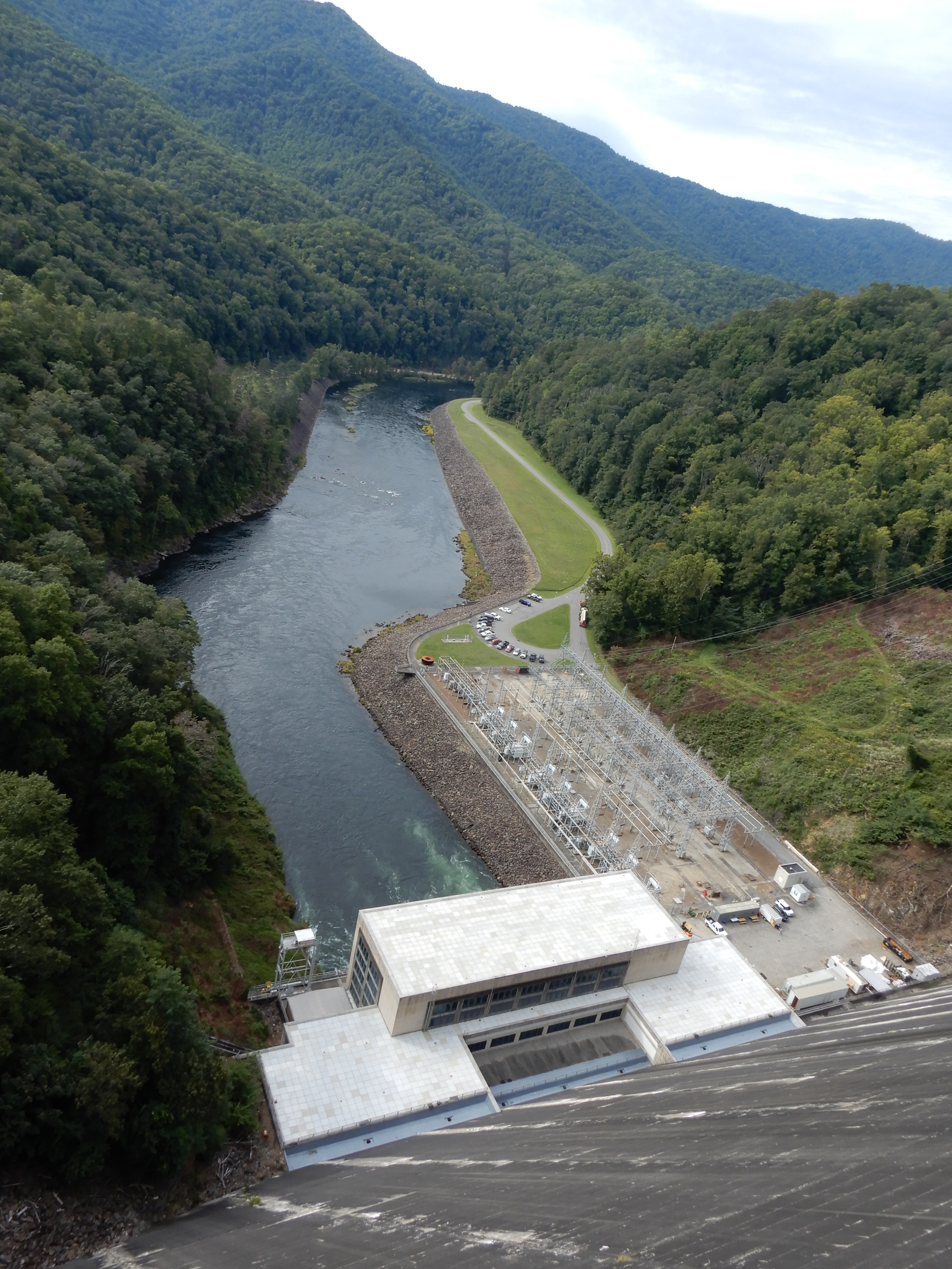
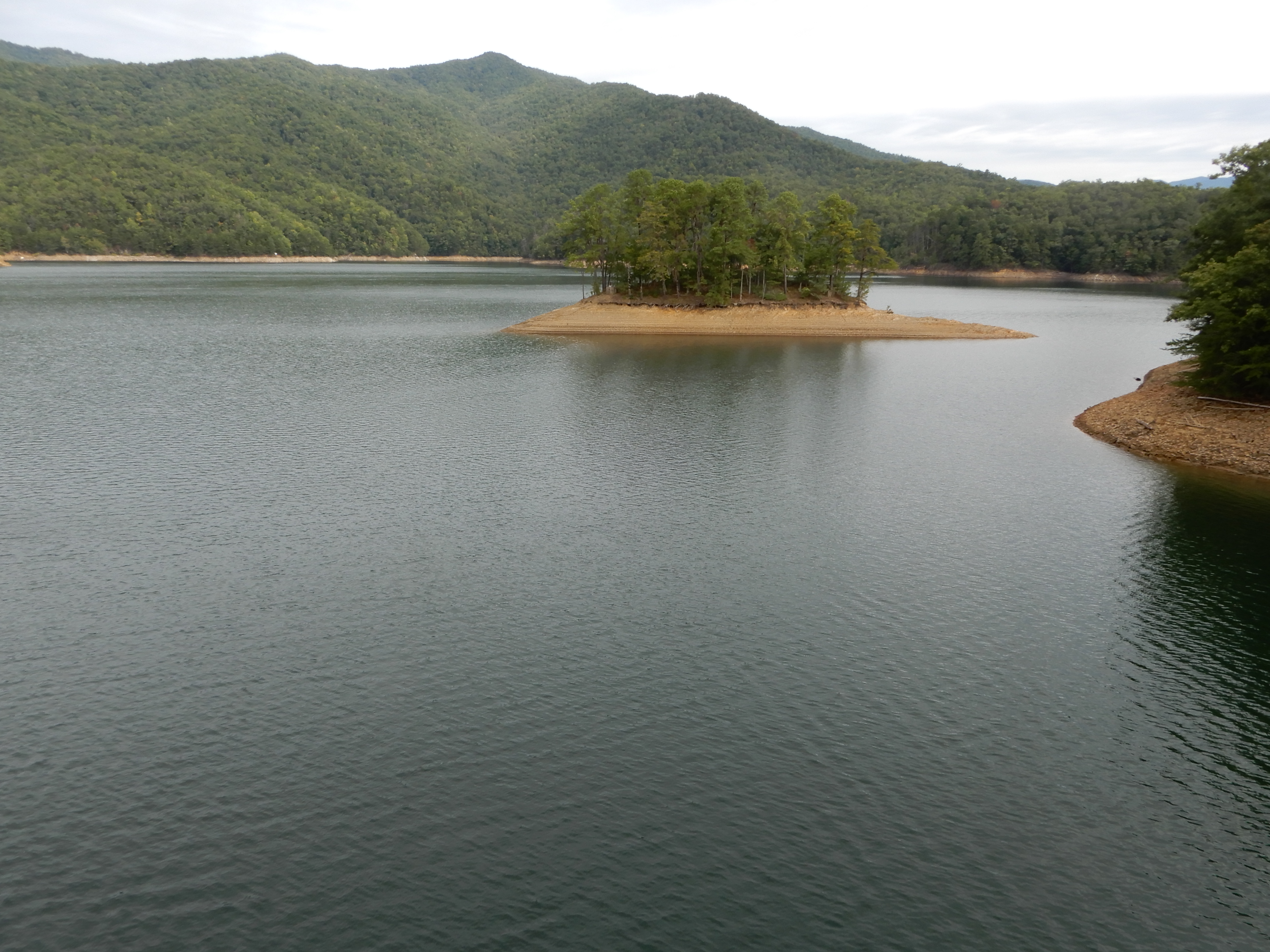
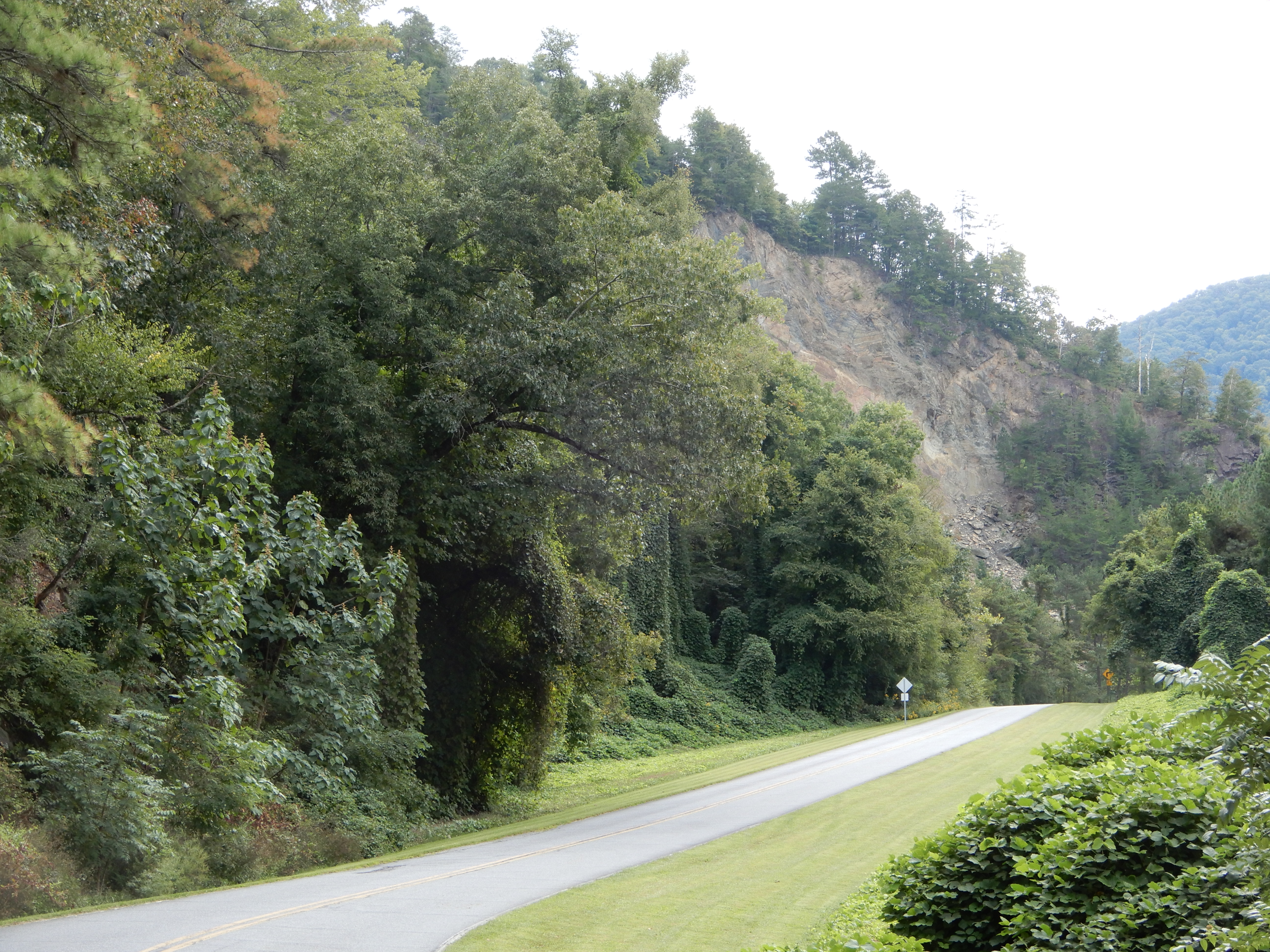
The next morning we drove west out of Cherokee to Fontana Lake.
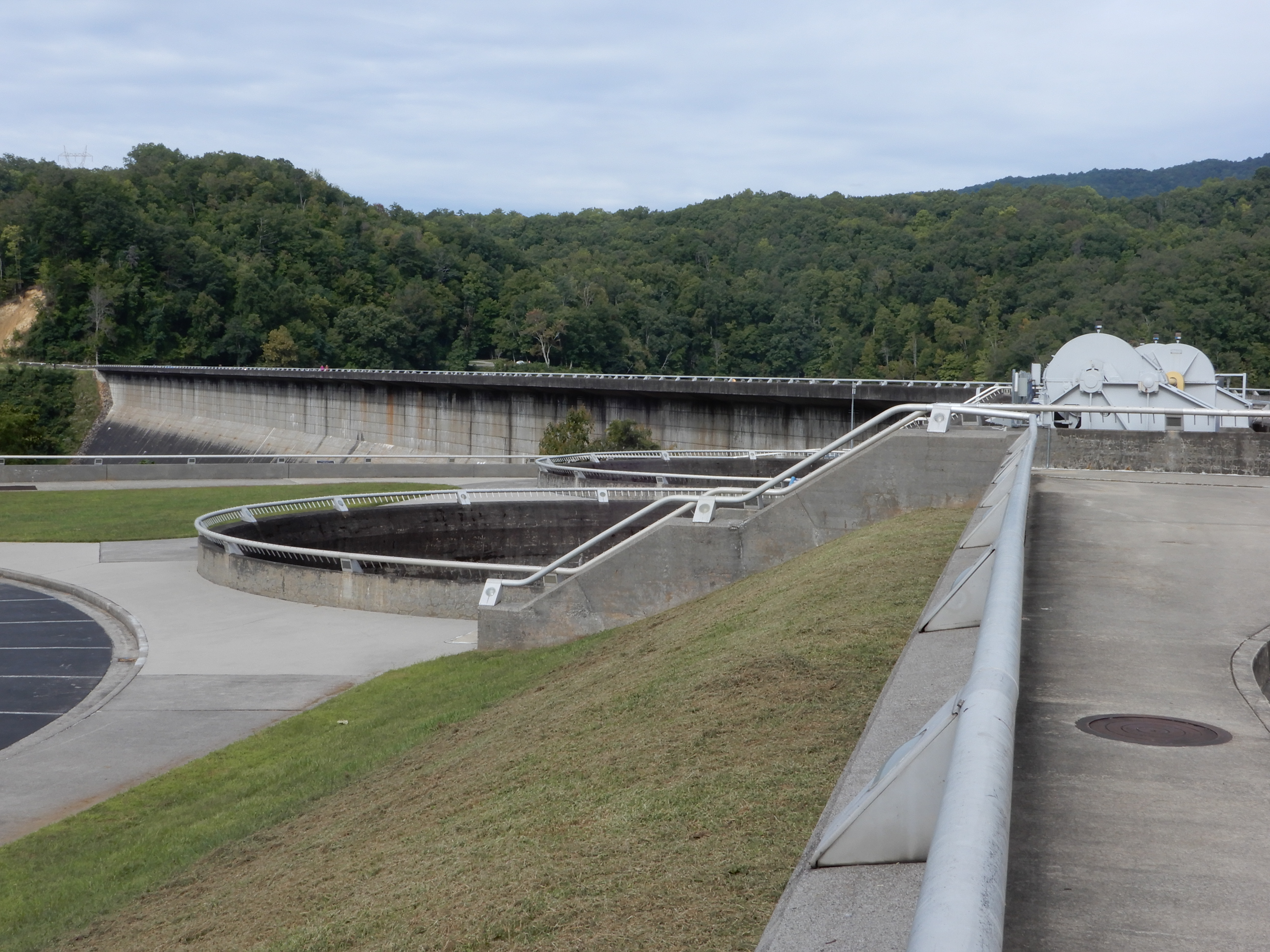
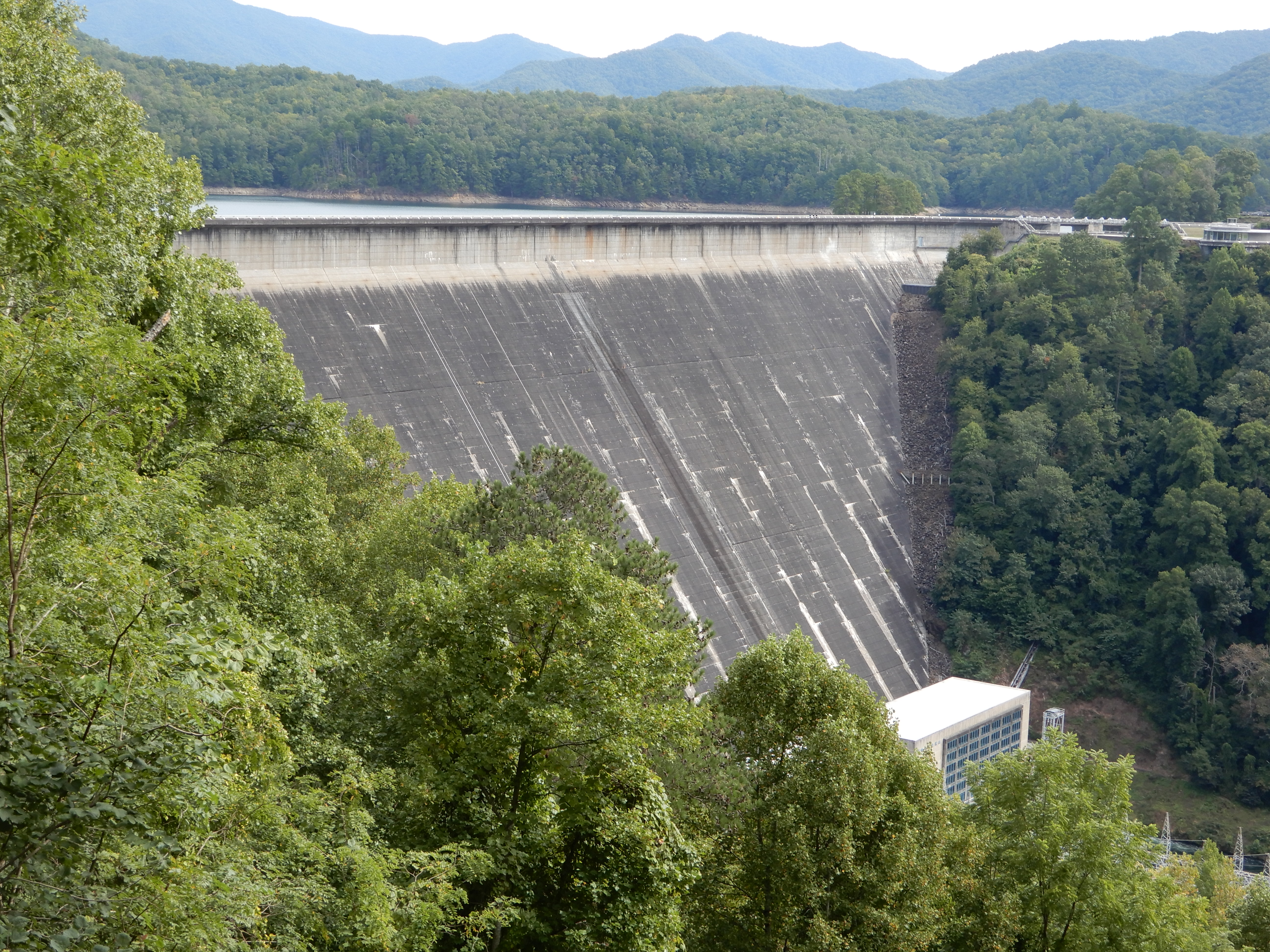
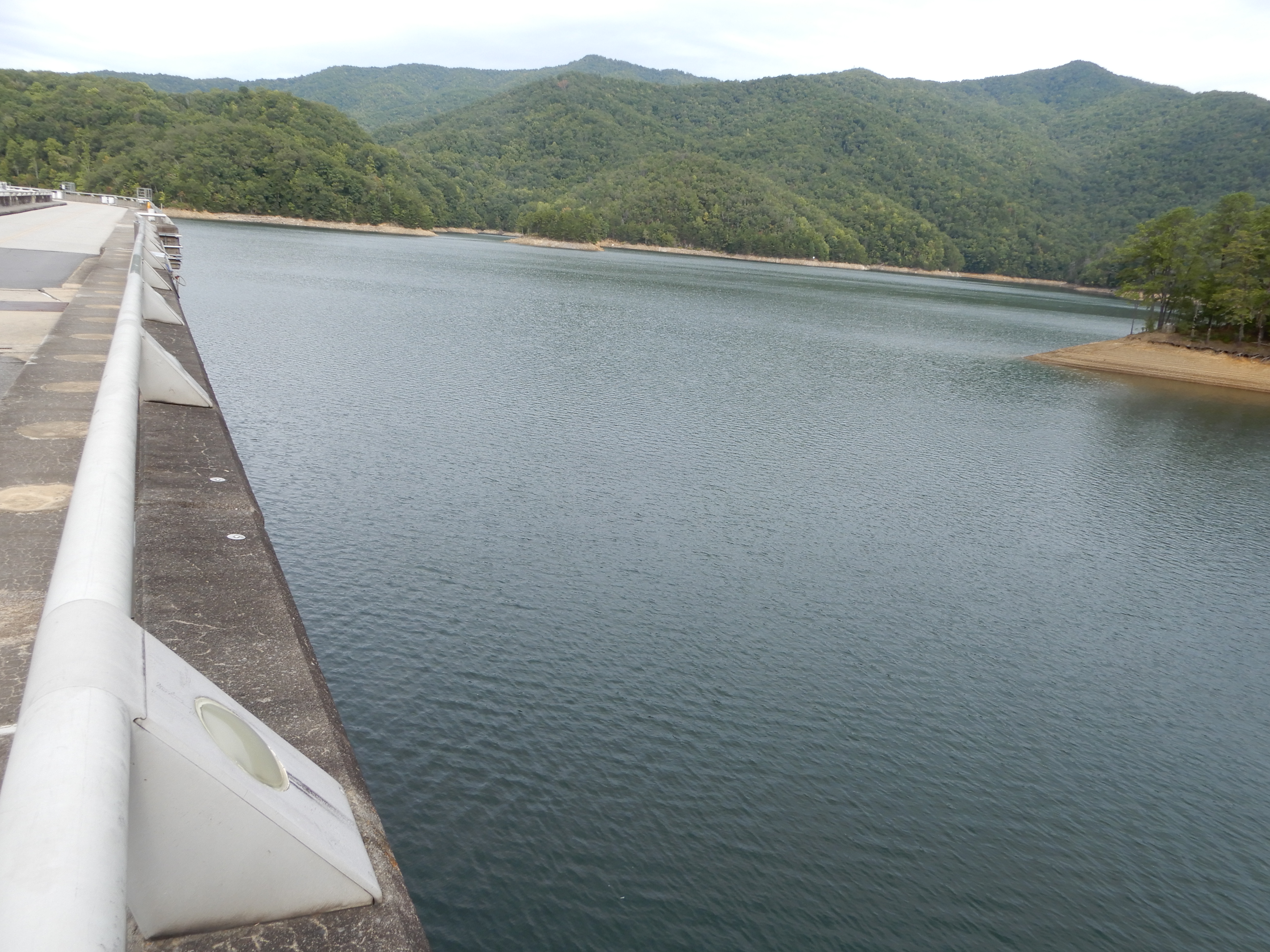
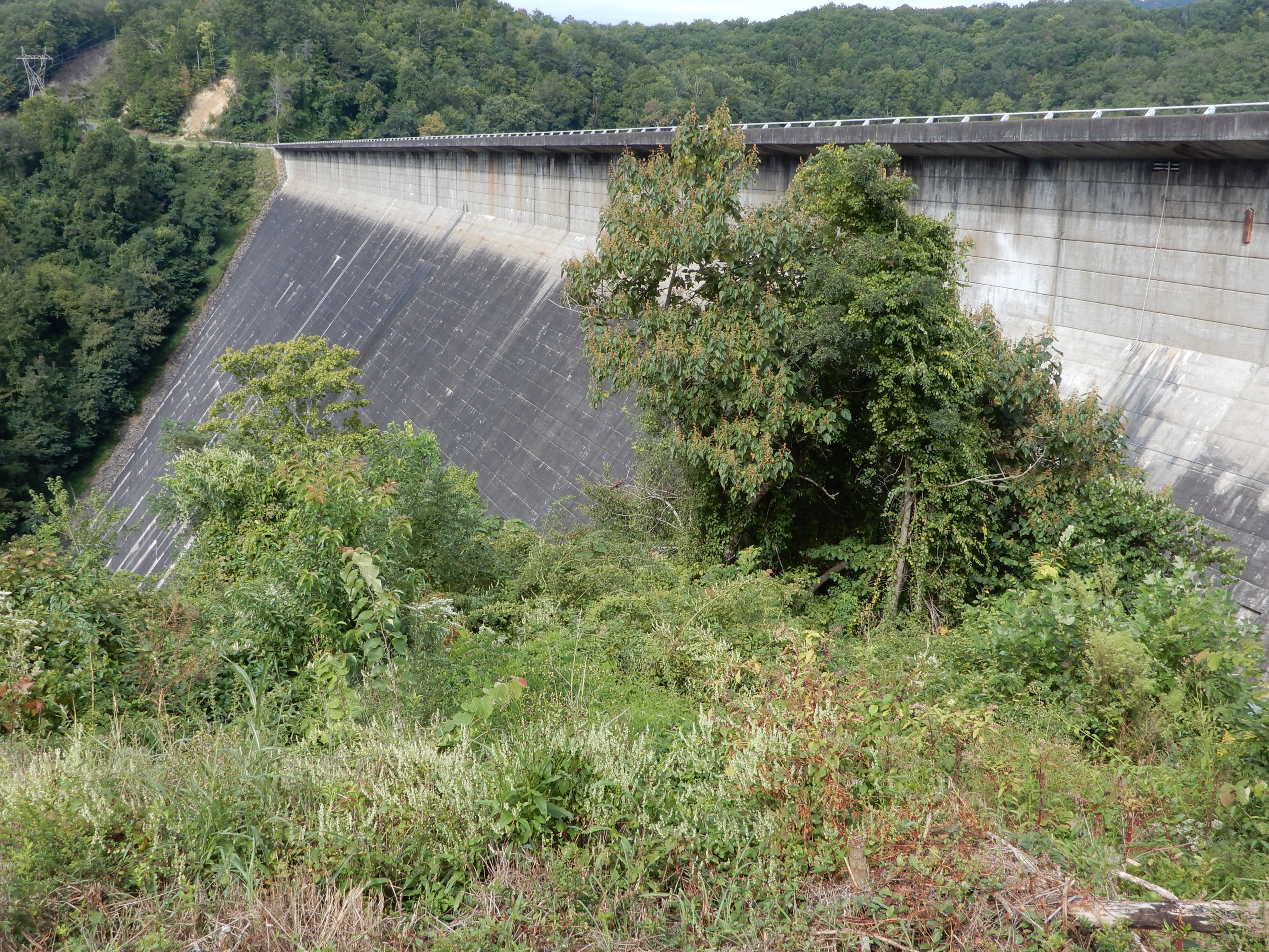
We drove across the dam.
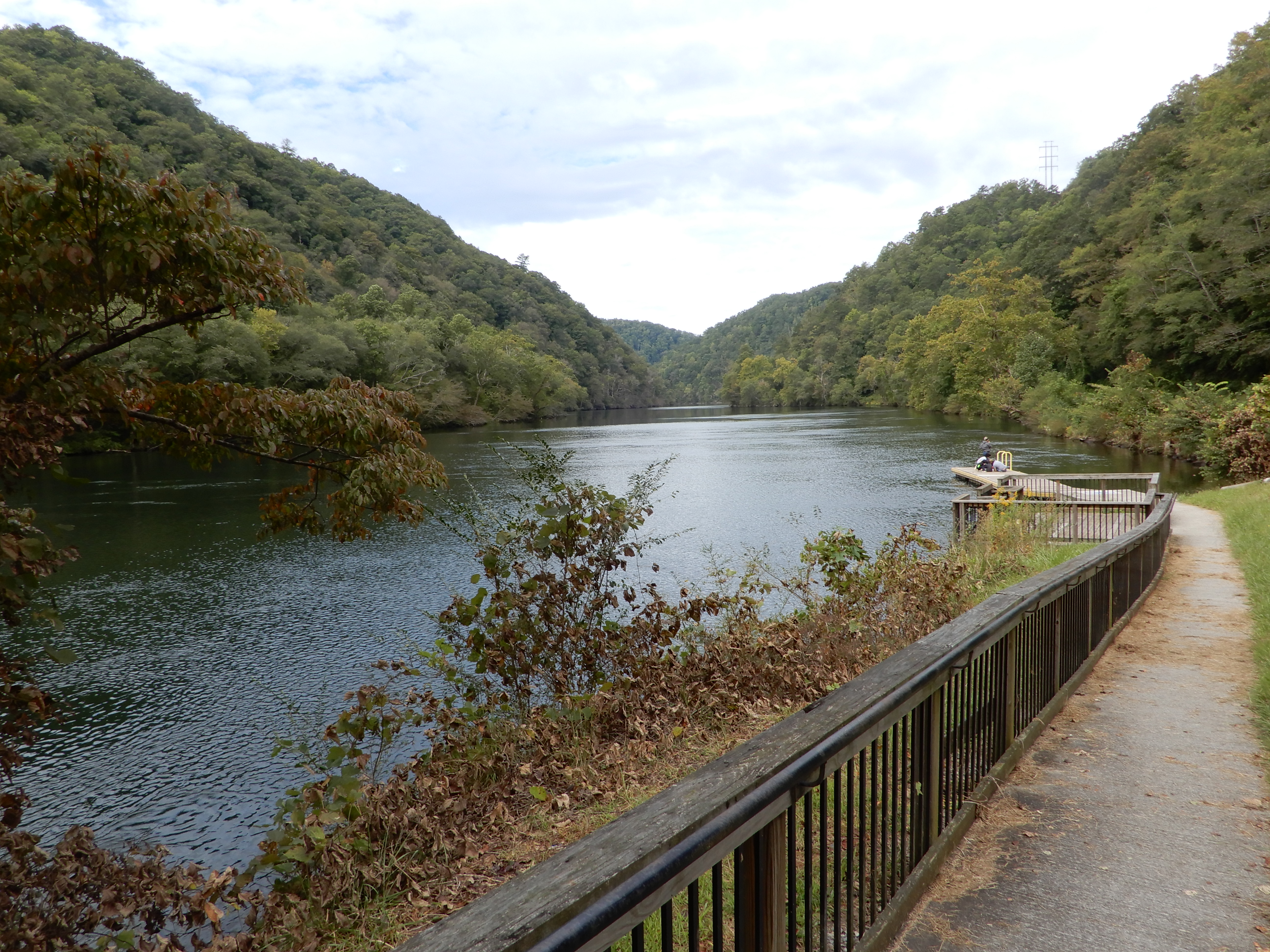
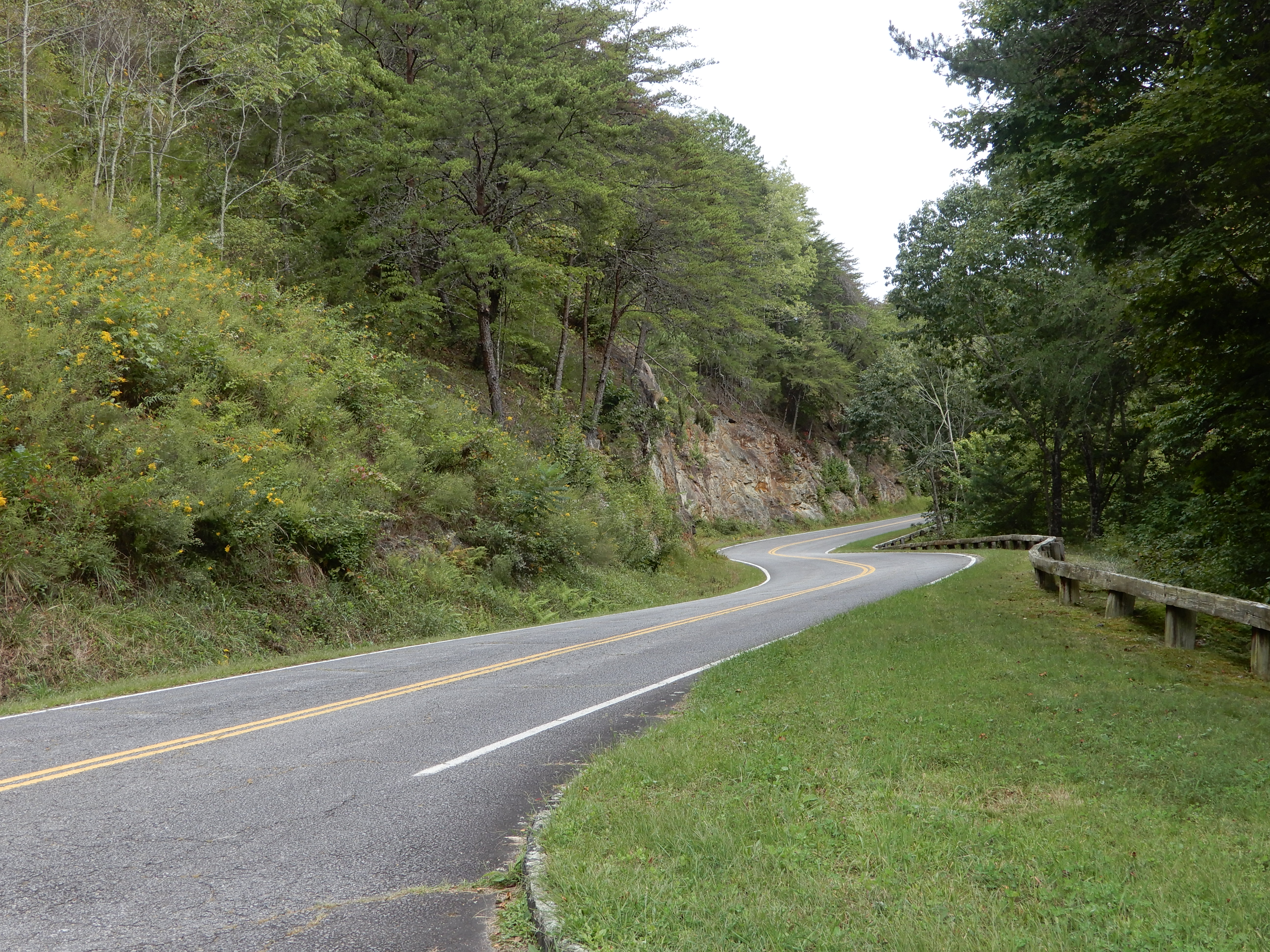
We drove on into the park.
We drove along the river a long ways. On the way back we stopped by a boat ramp for lunch.
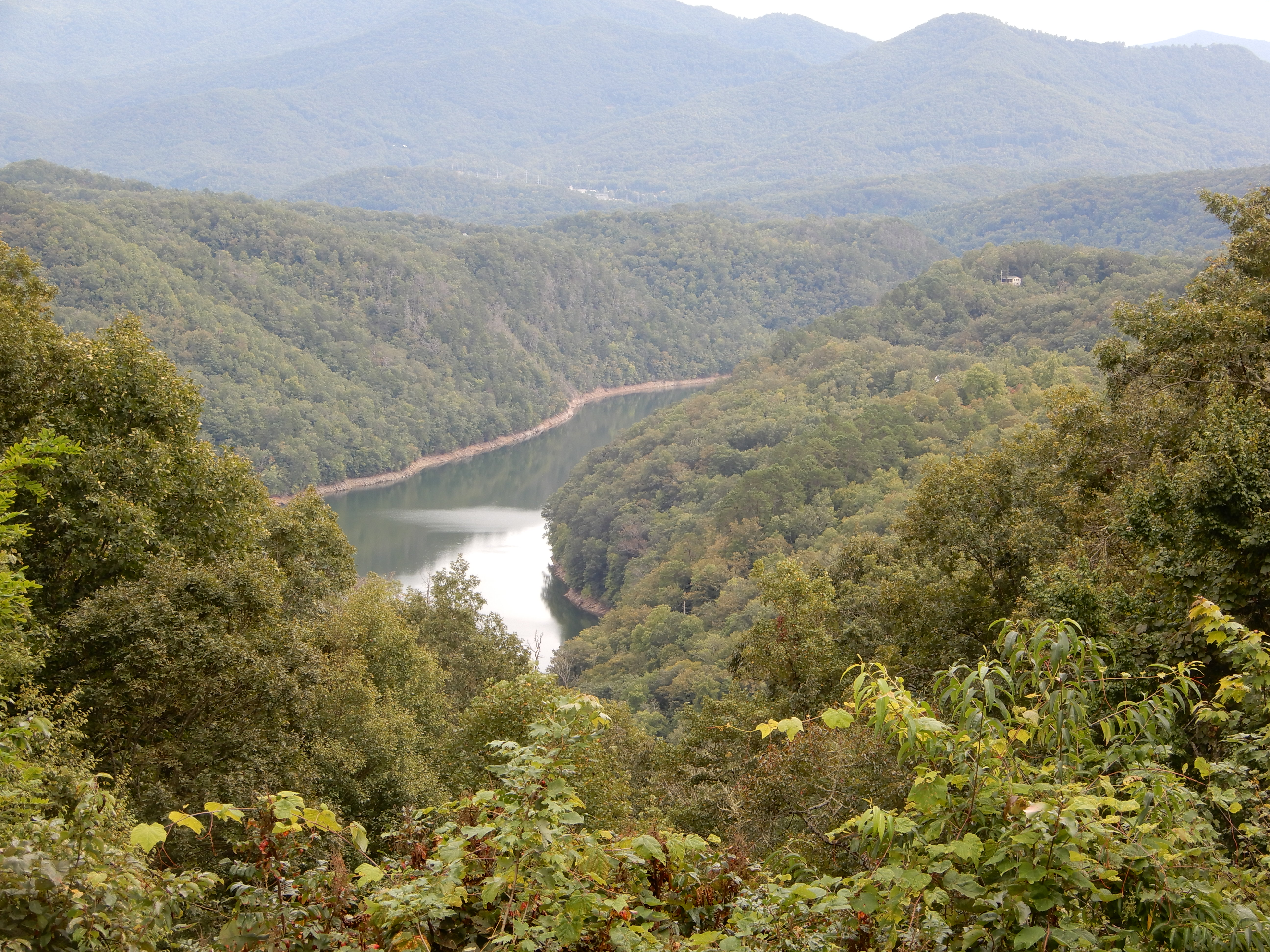
After lunch, we drove deeper into the park.
We got high enough we had a good view down on Fontana Lake.
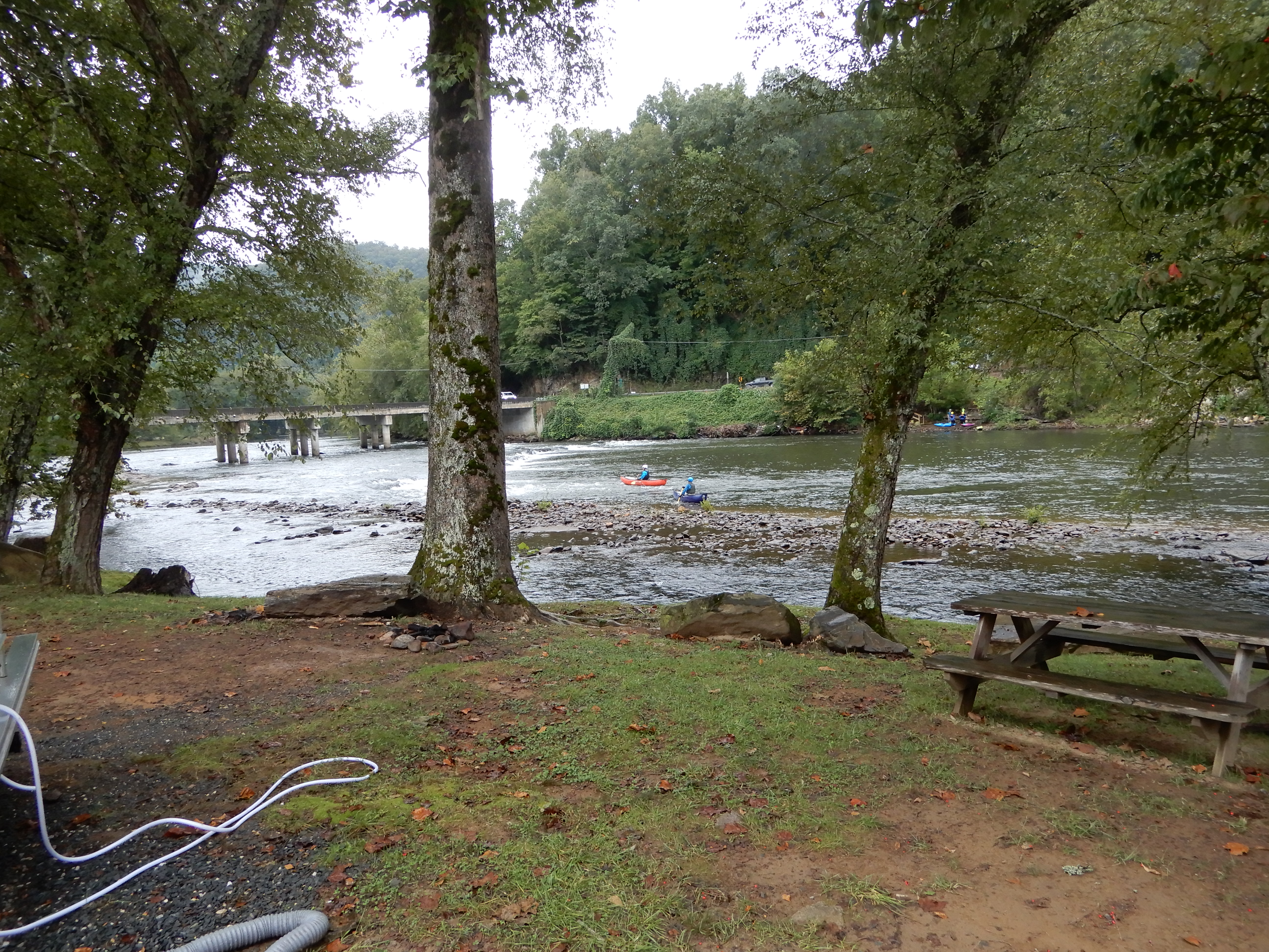
We drove out of the park, then headed east from Fontana to Bryson City. We got a site for 2 nights at Grumpy Bear Campground outside of Bryson City since it was supposed to rain for 2 days.
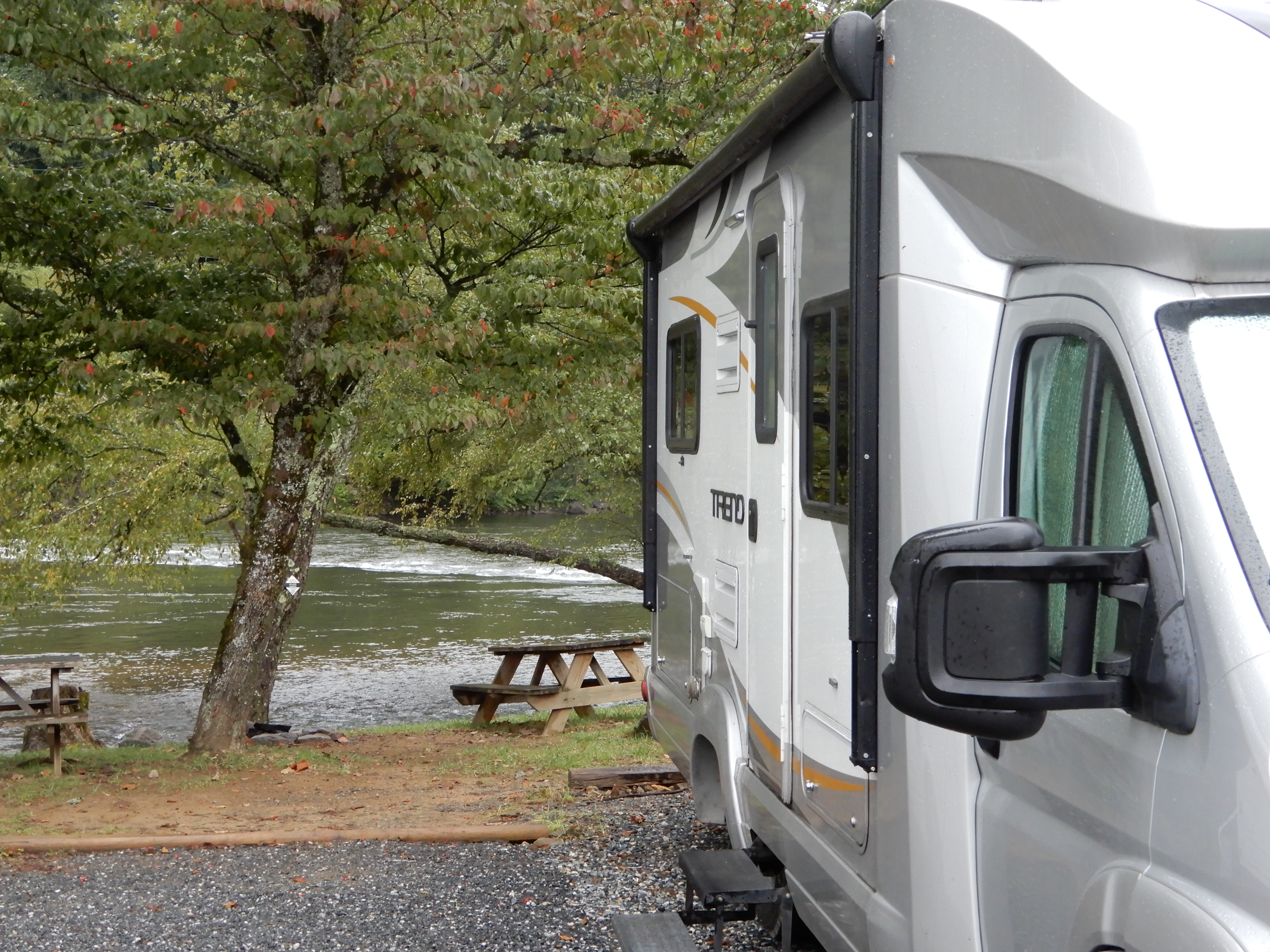
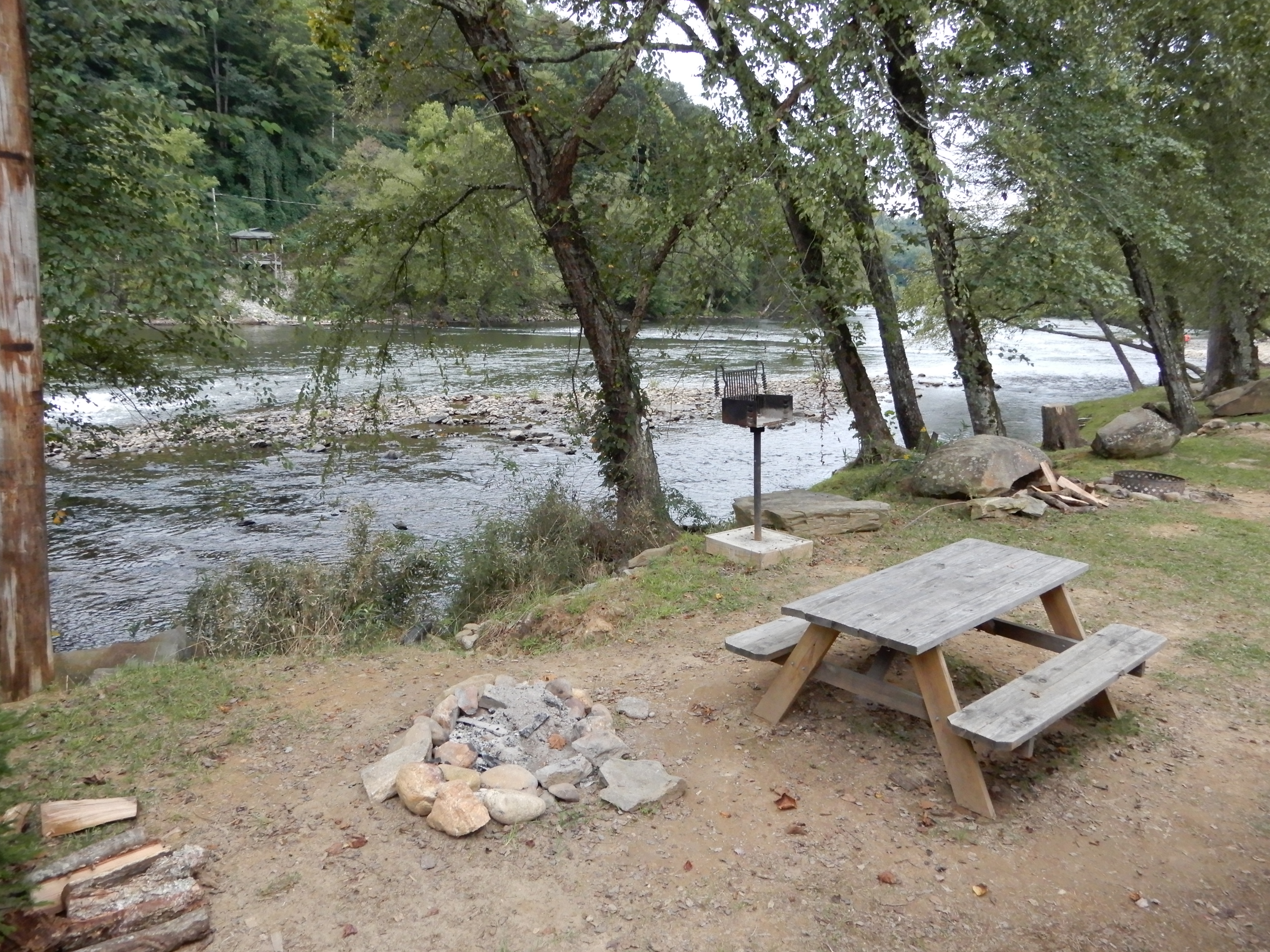
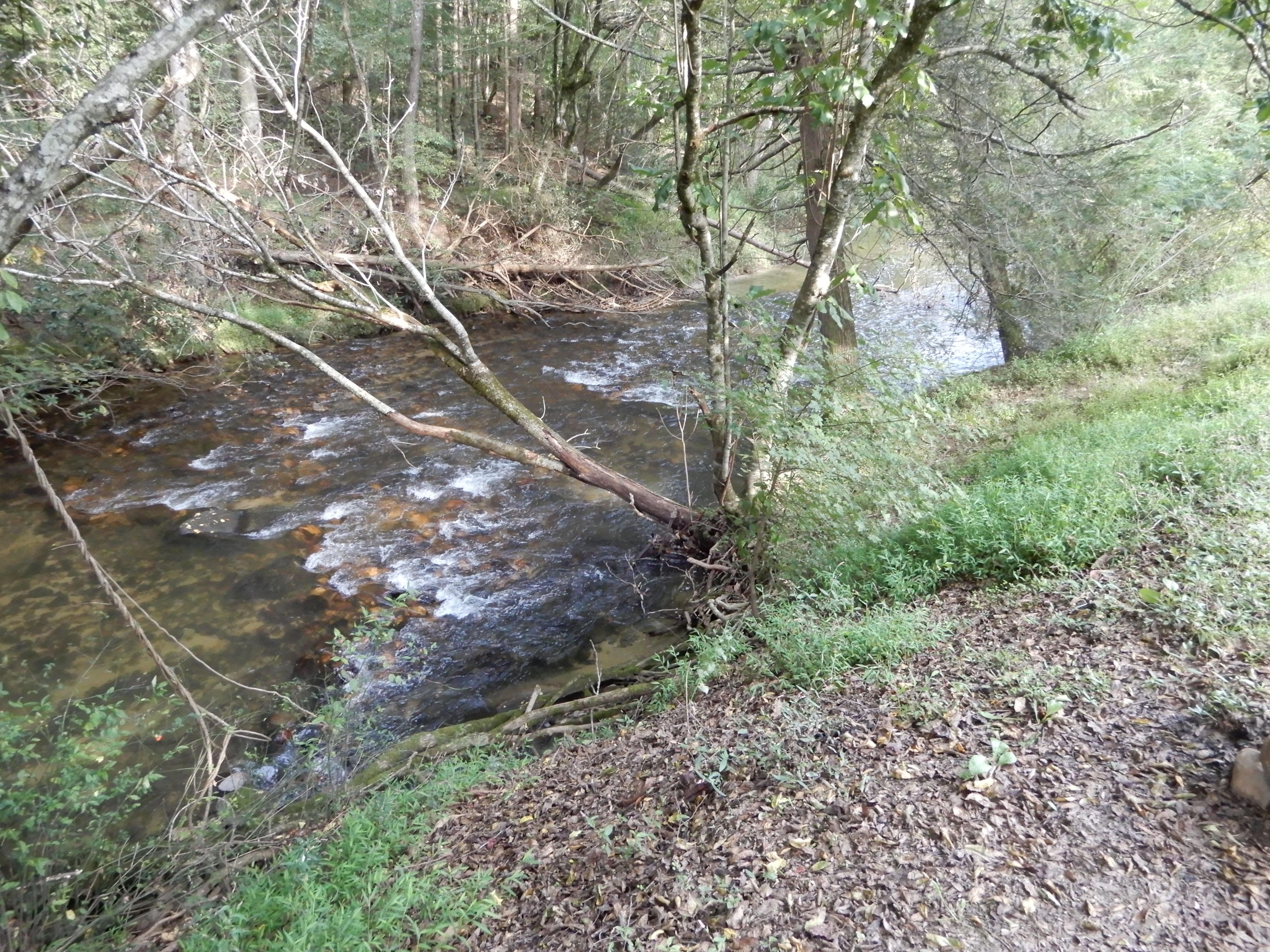
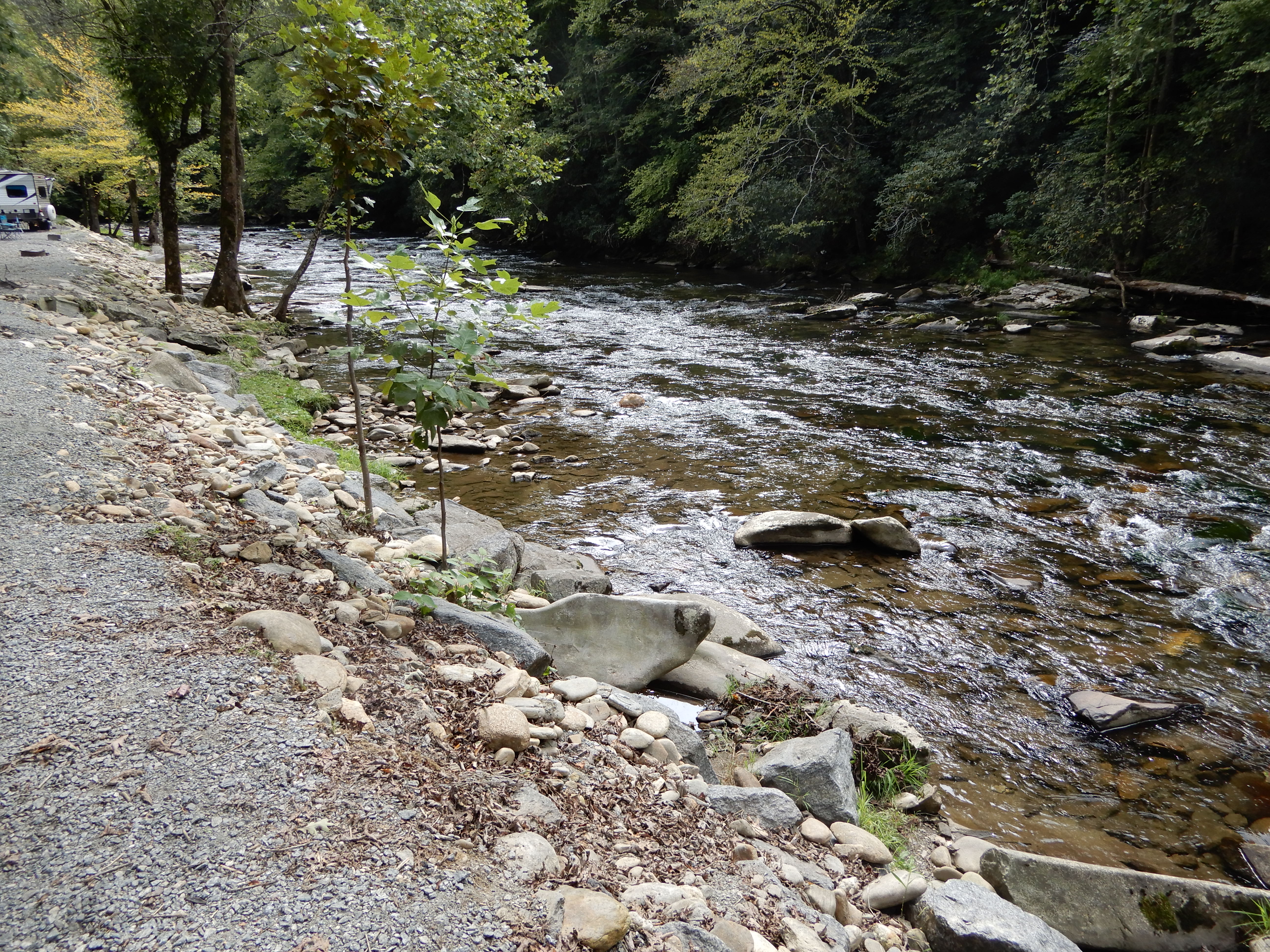
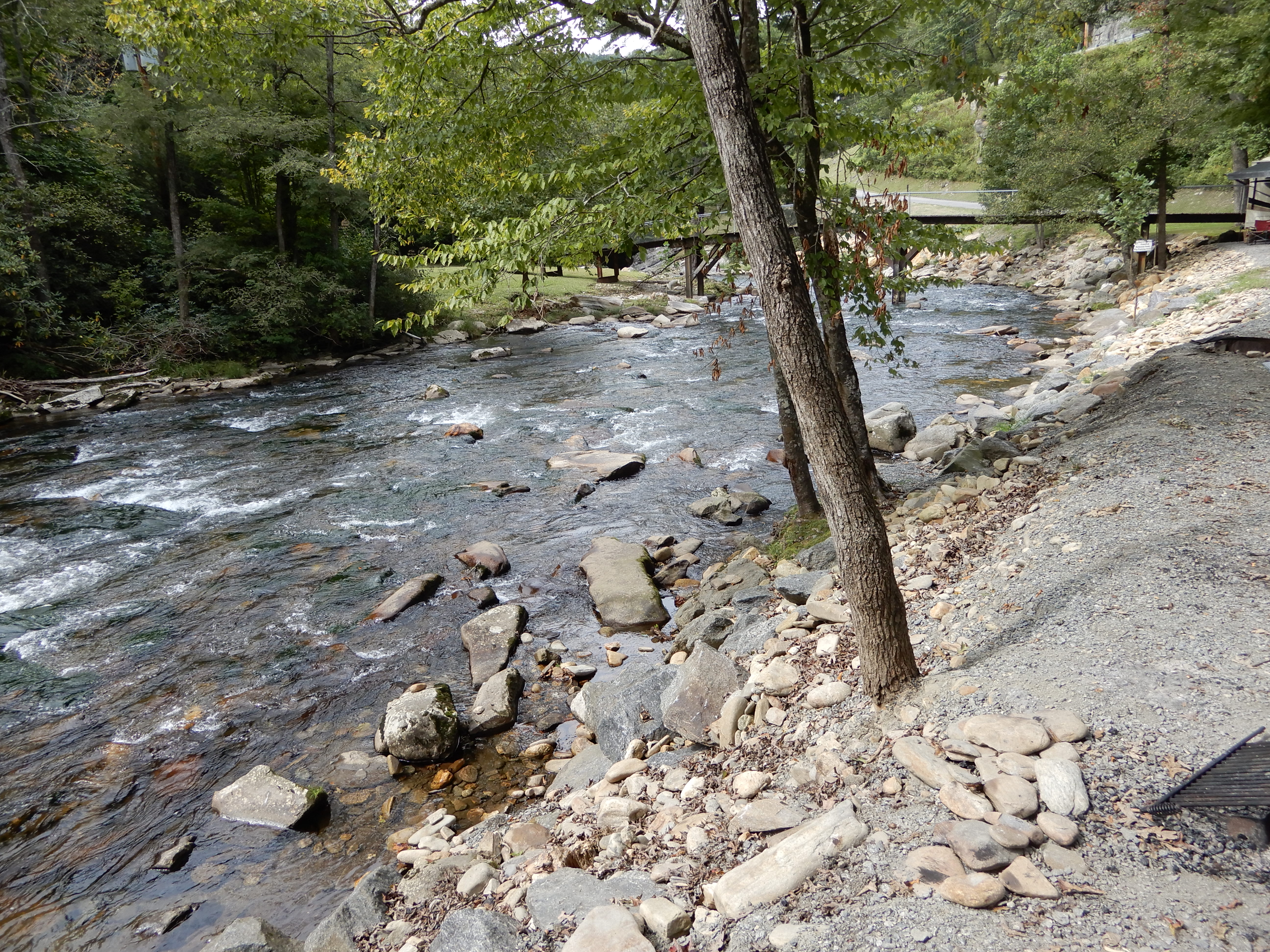
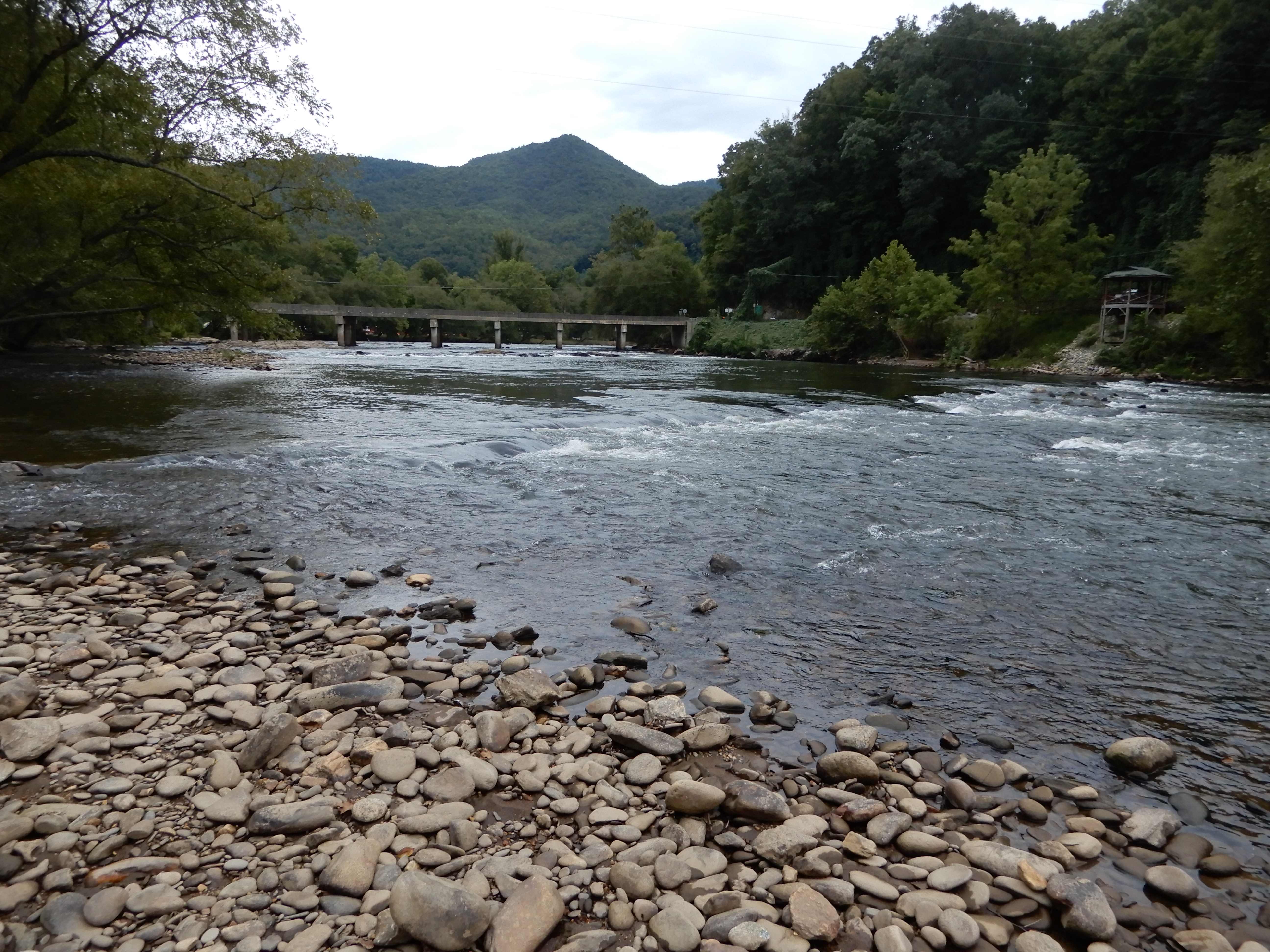
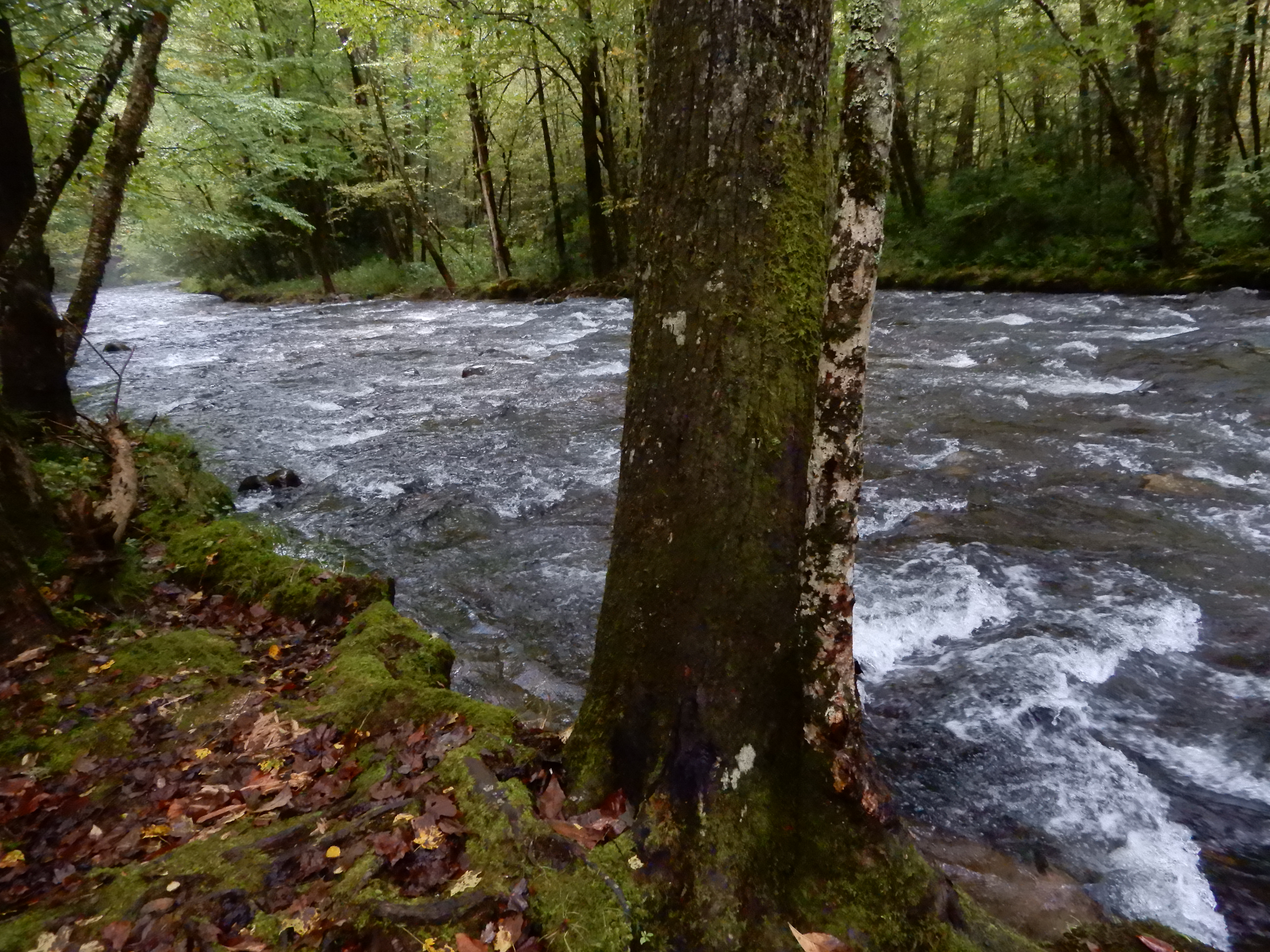
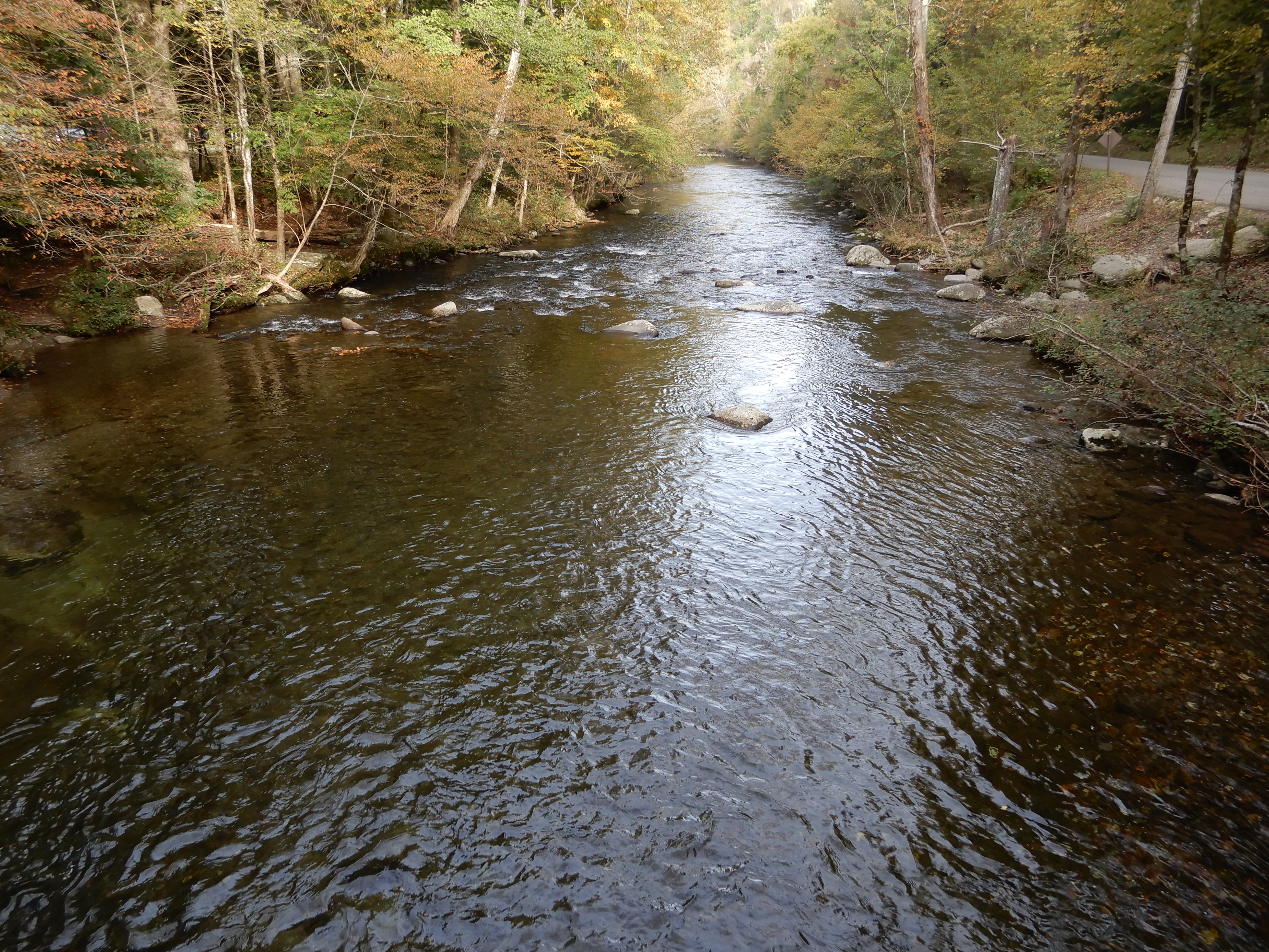
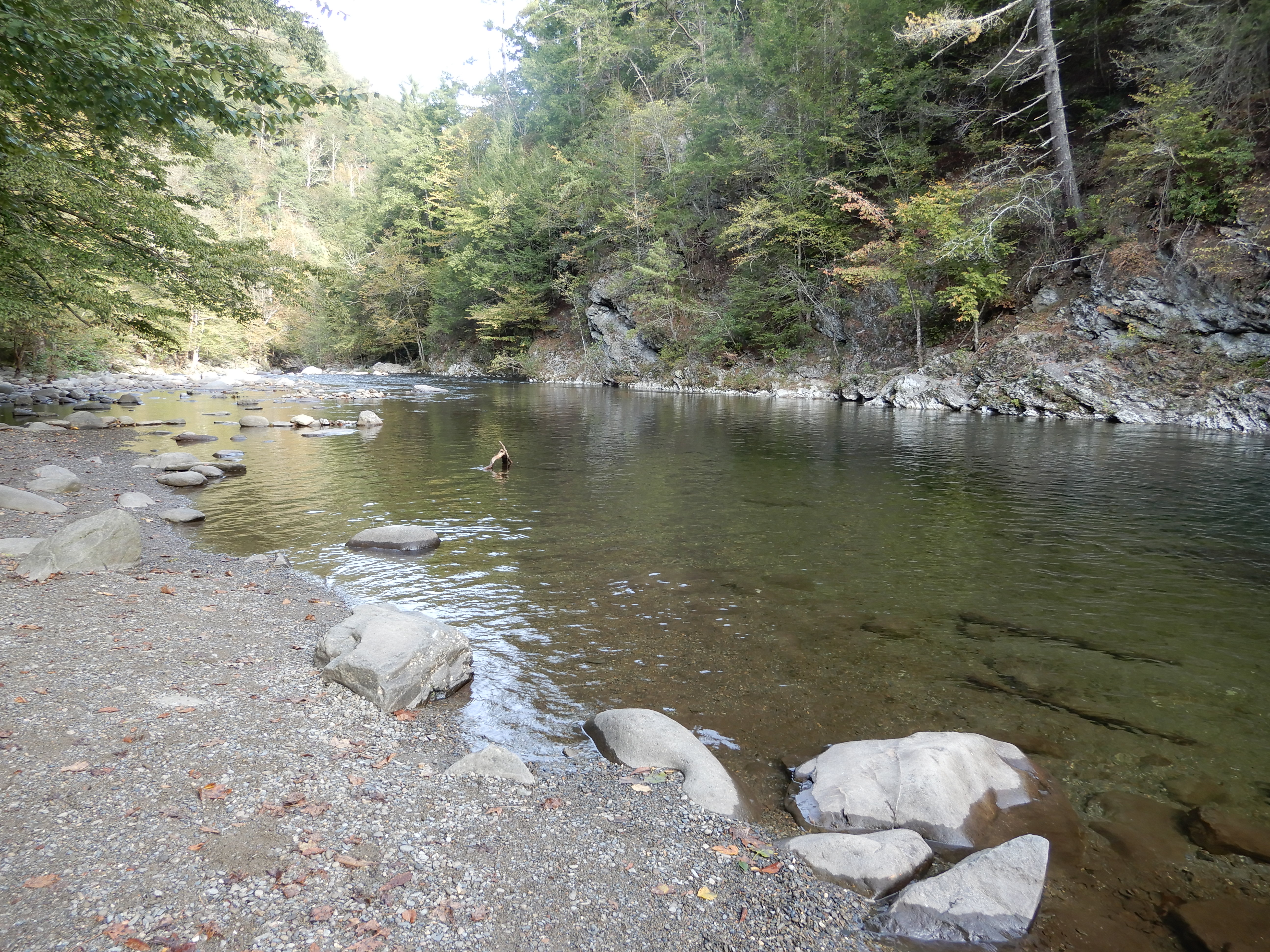
The river we were camped on was scenic.
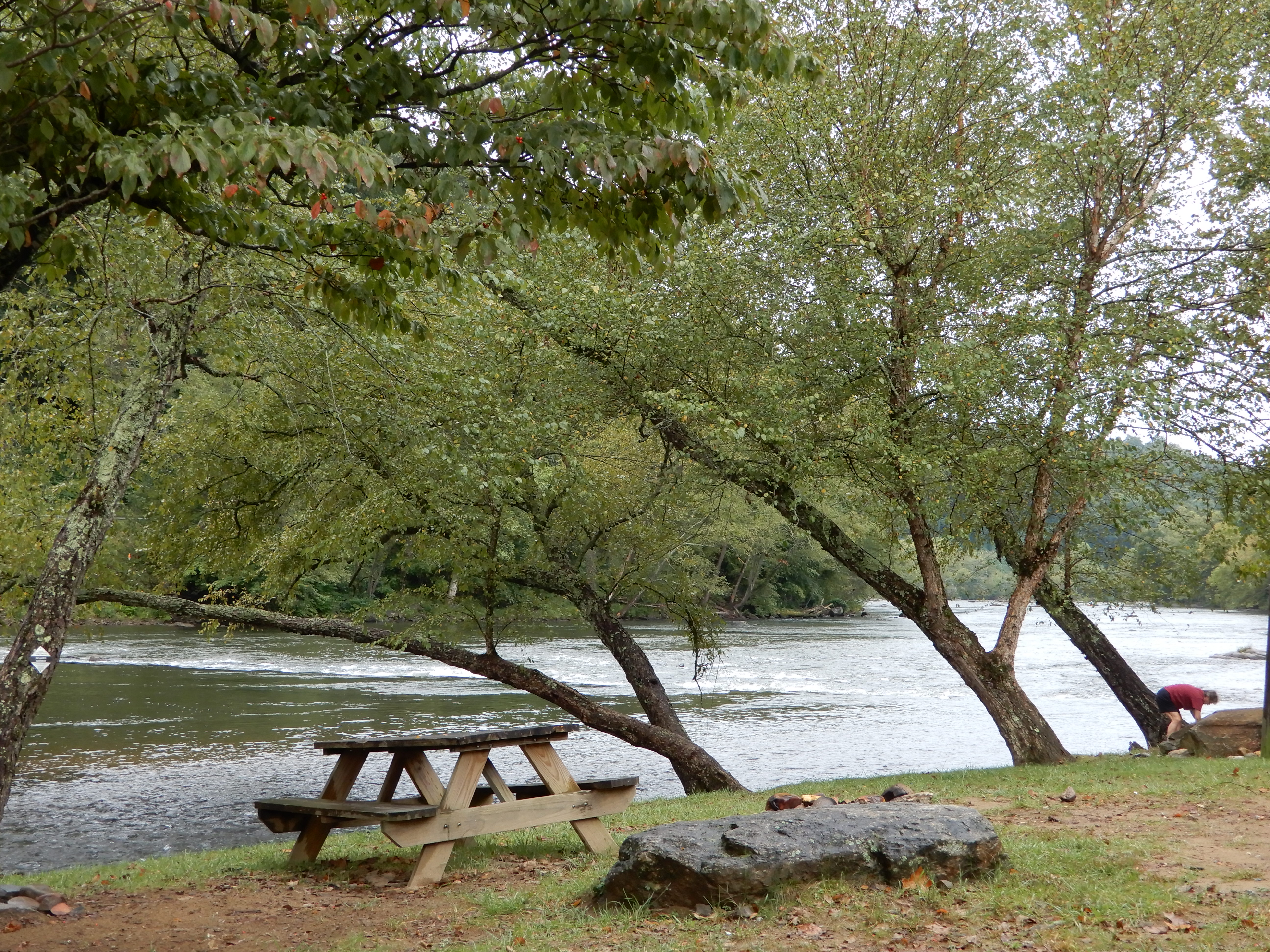
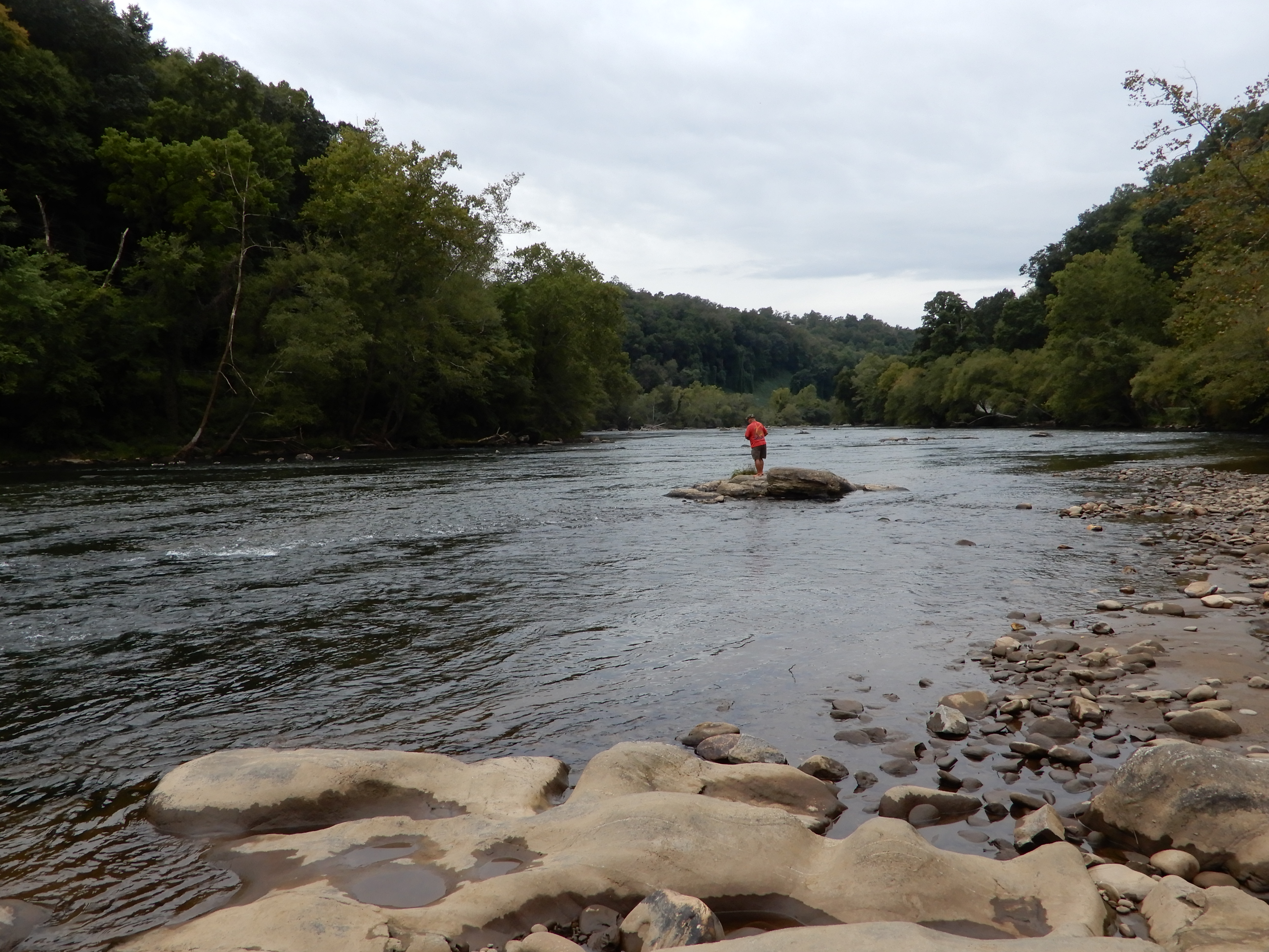
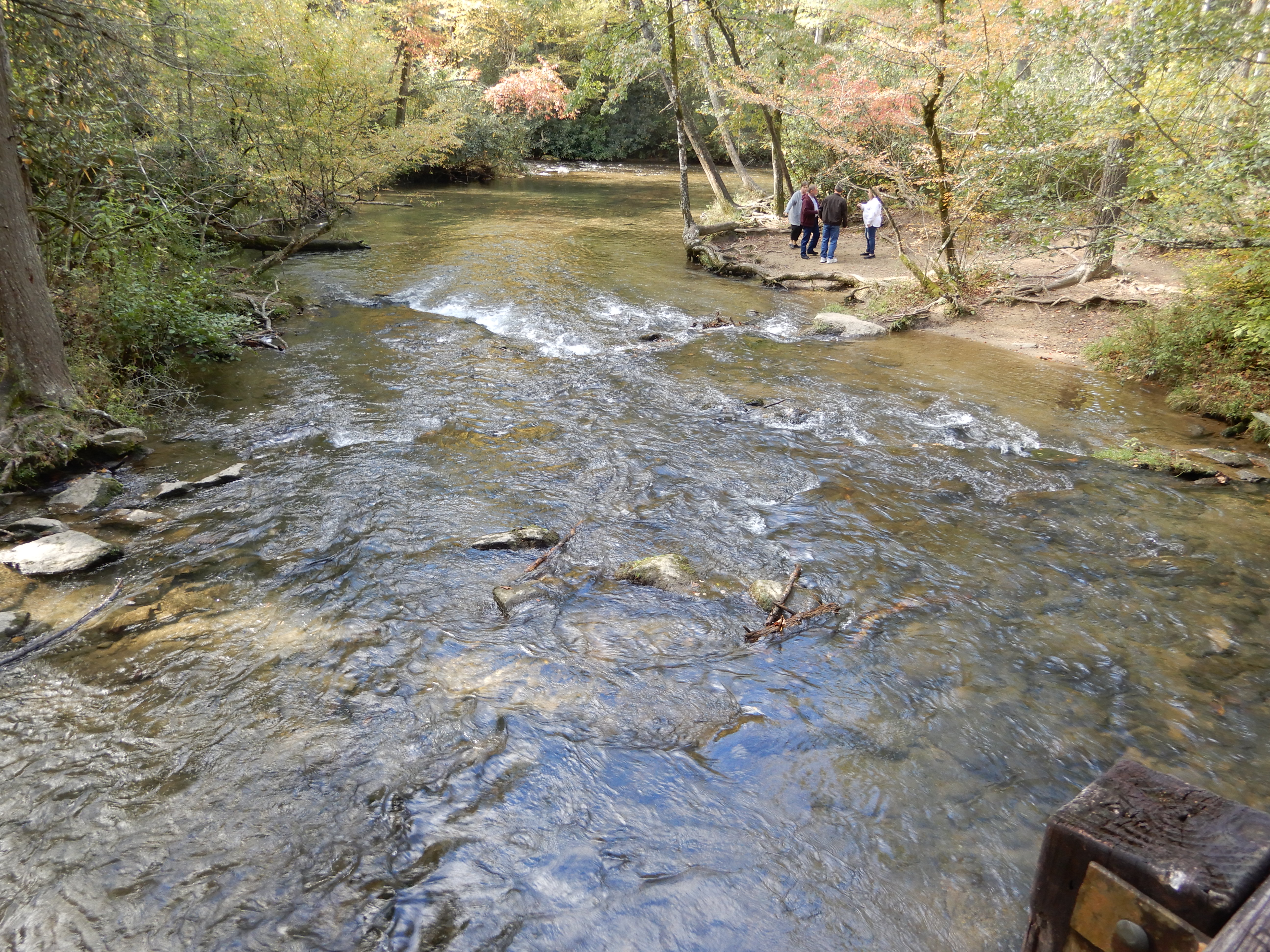
There were people fishing.
And kayaking.
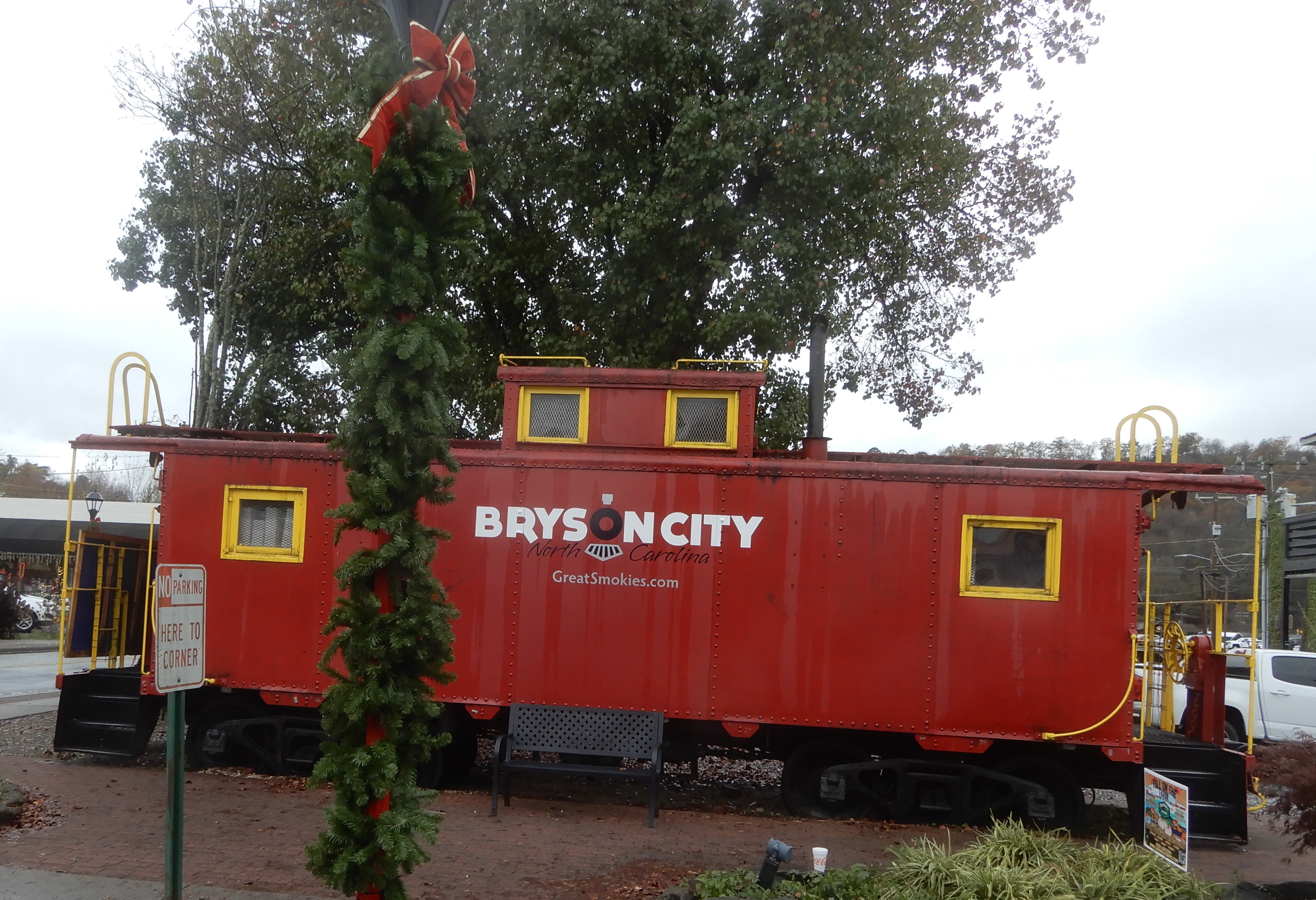
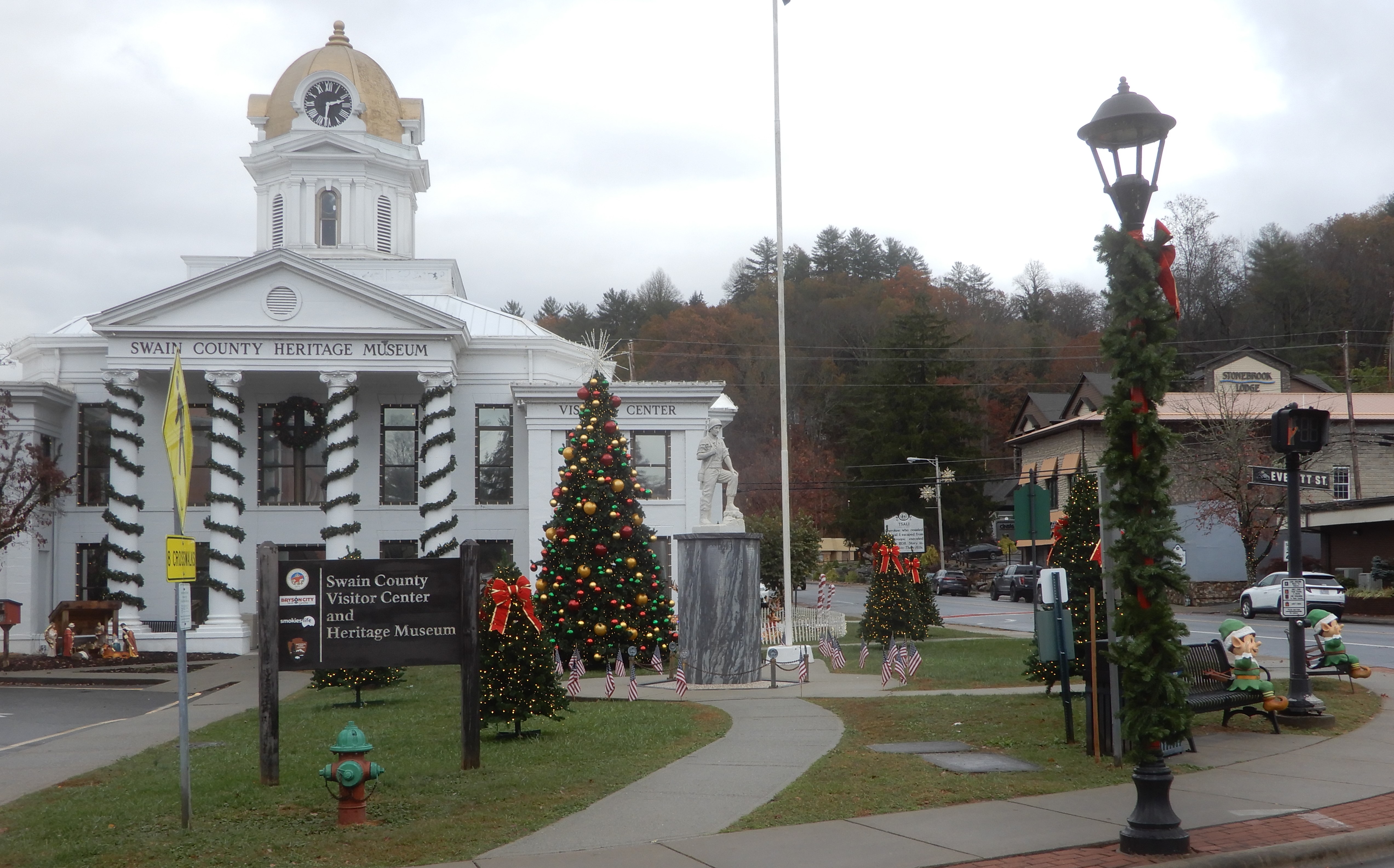
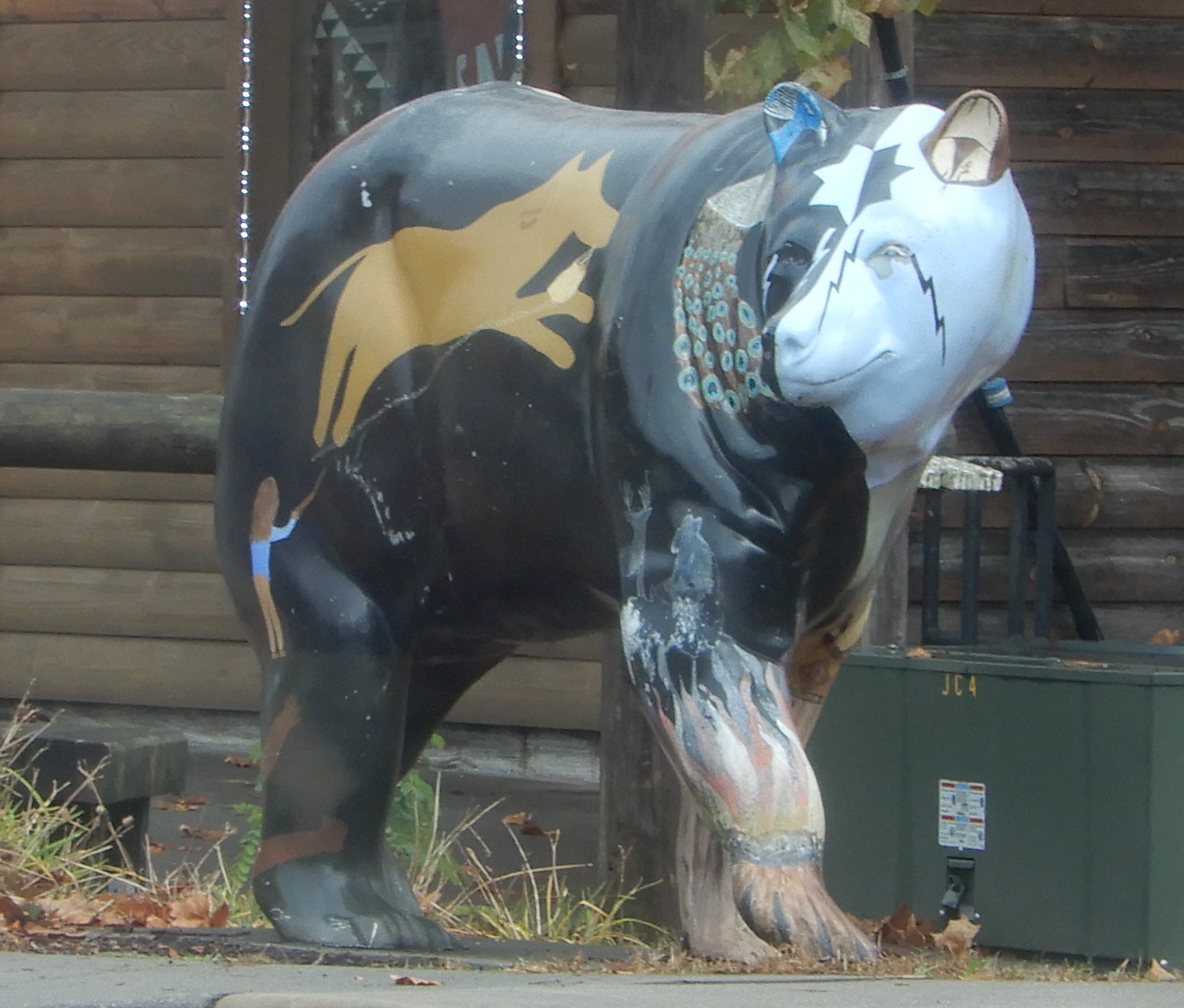
We rested a while, then drove through Bryson City.
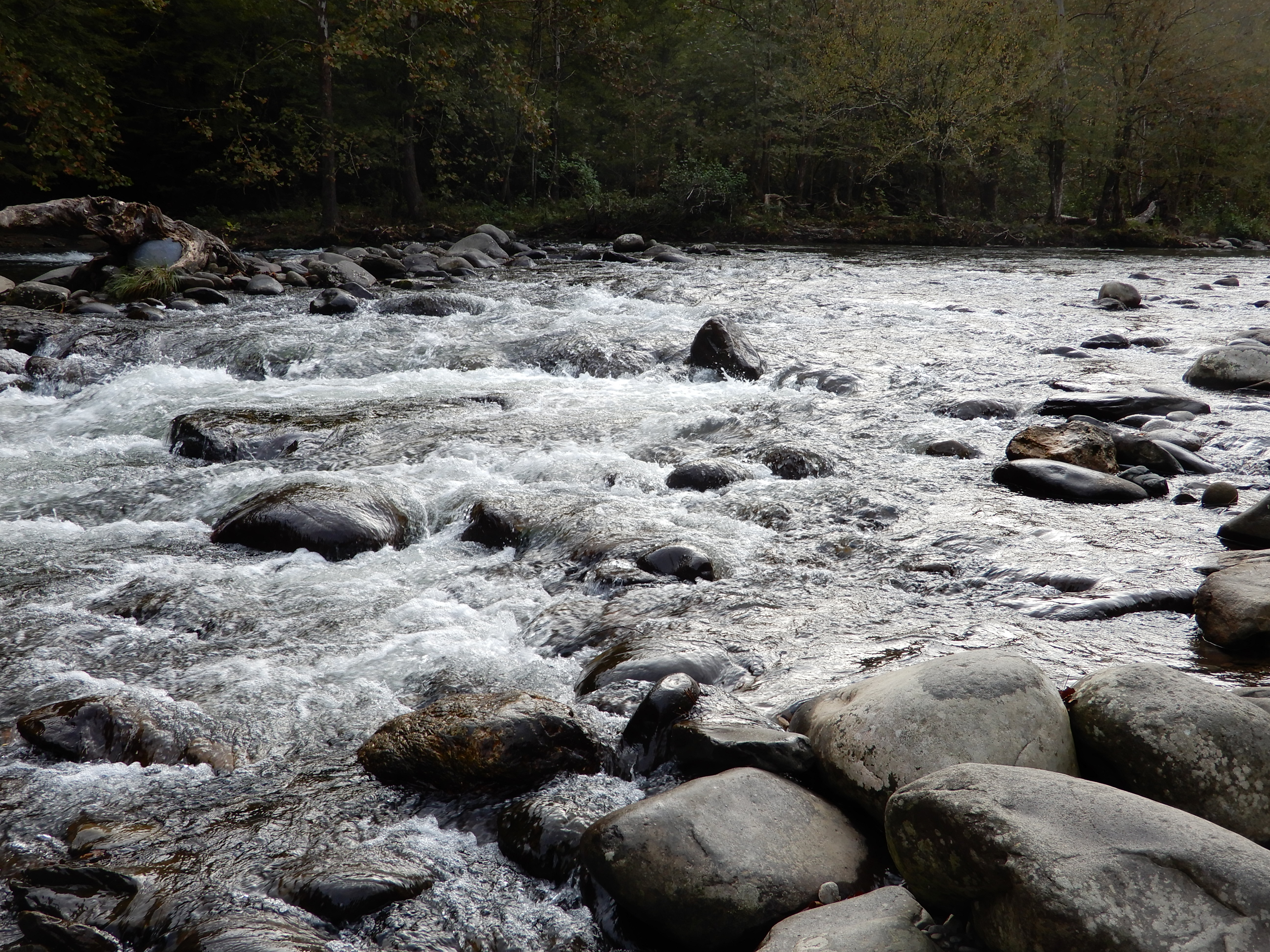
Then back into the Park.
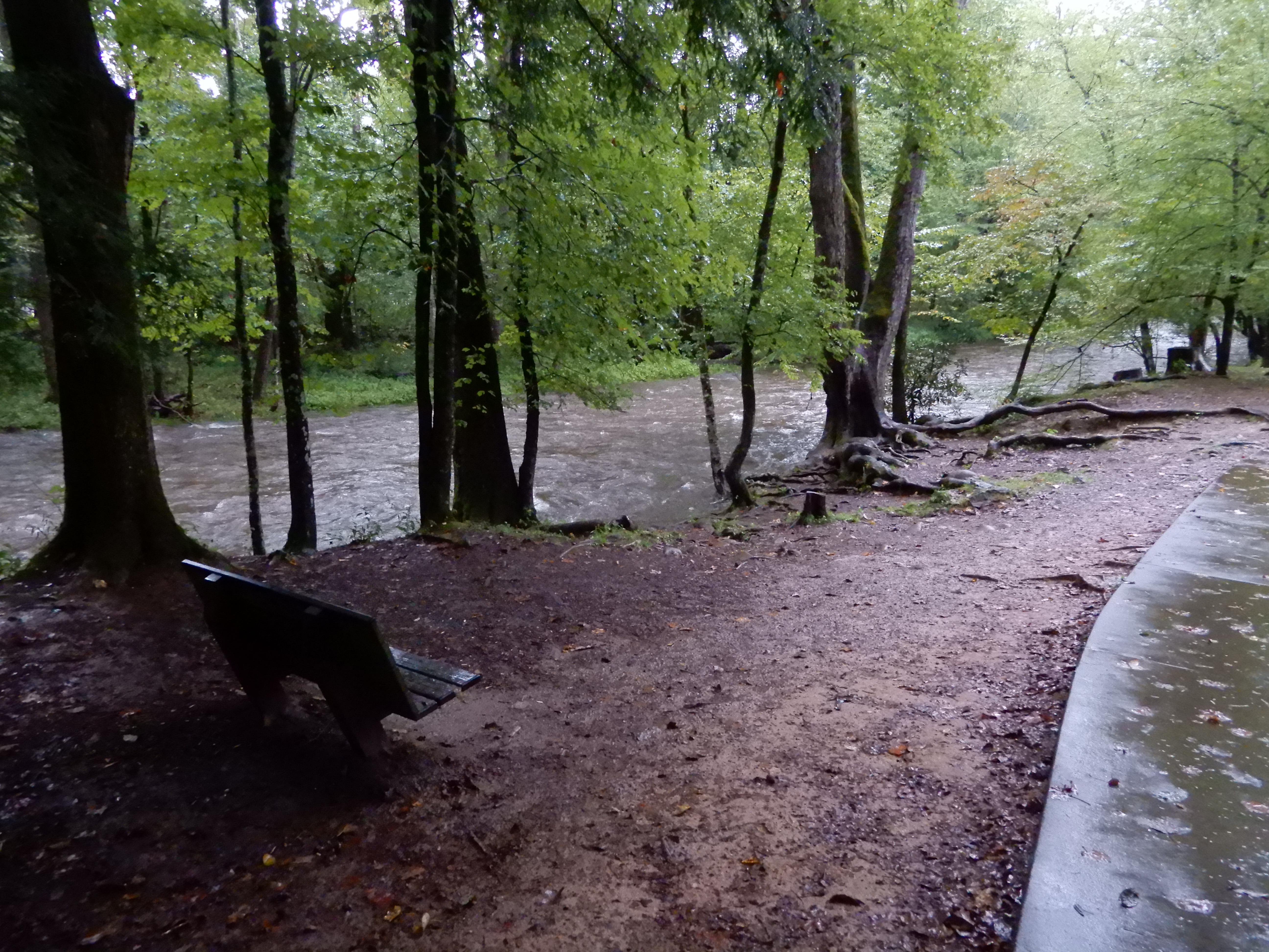
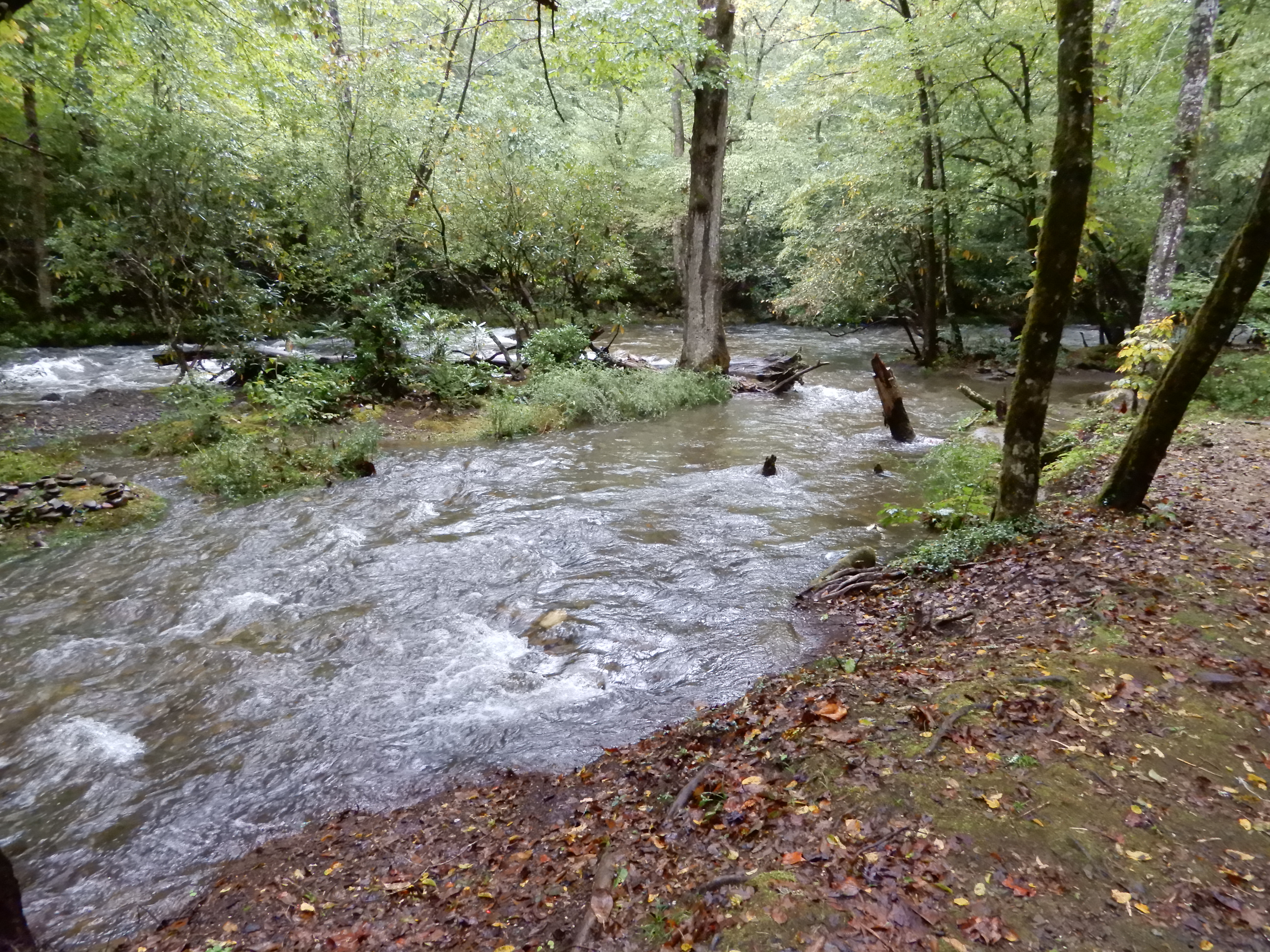
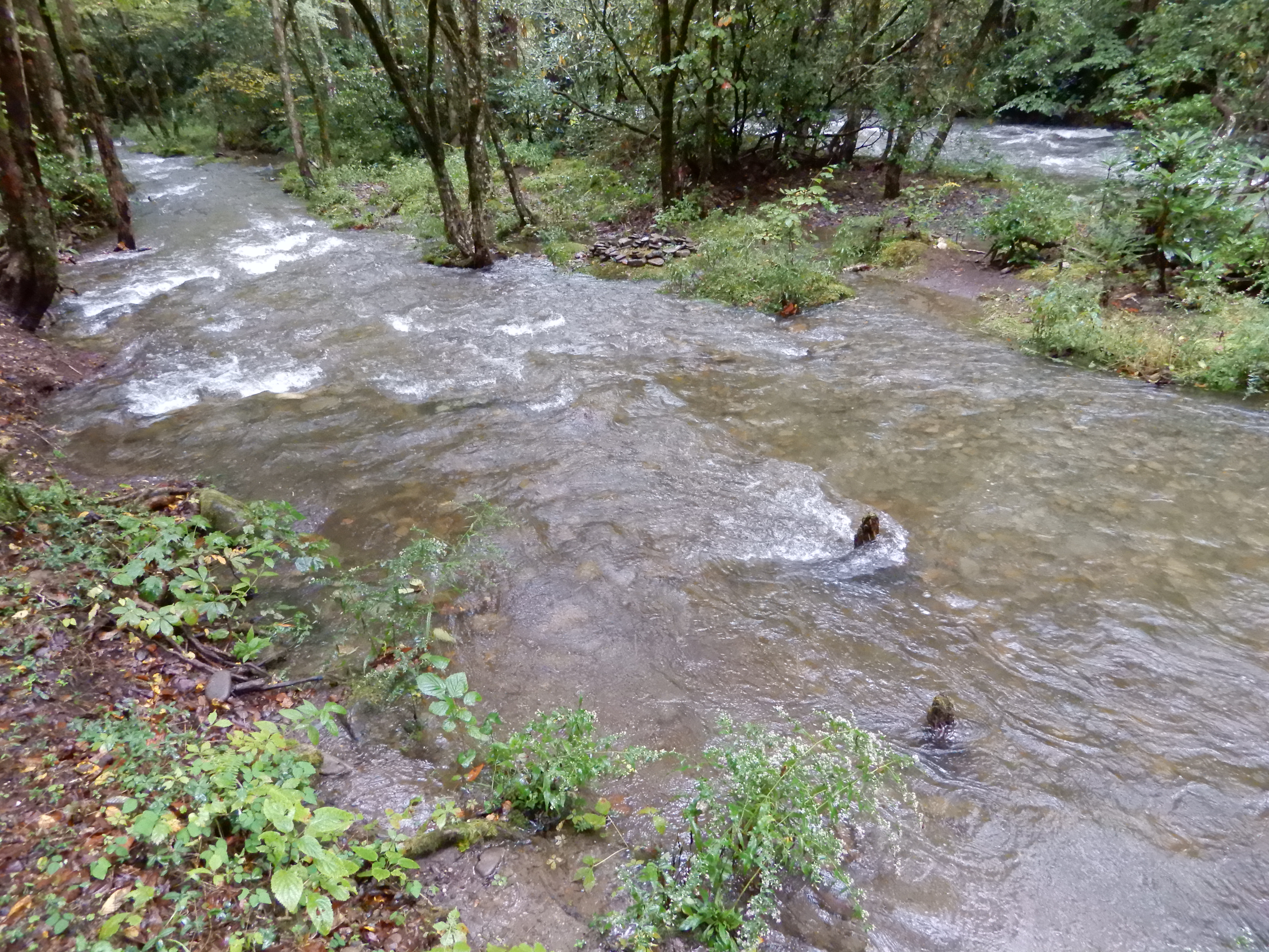
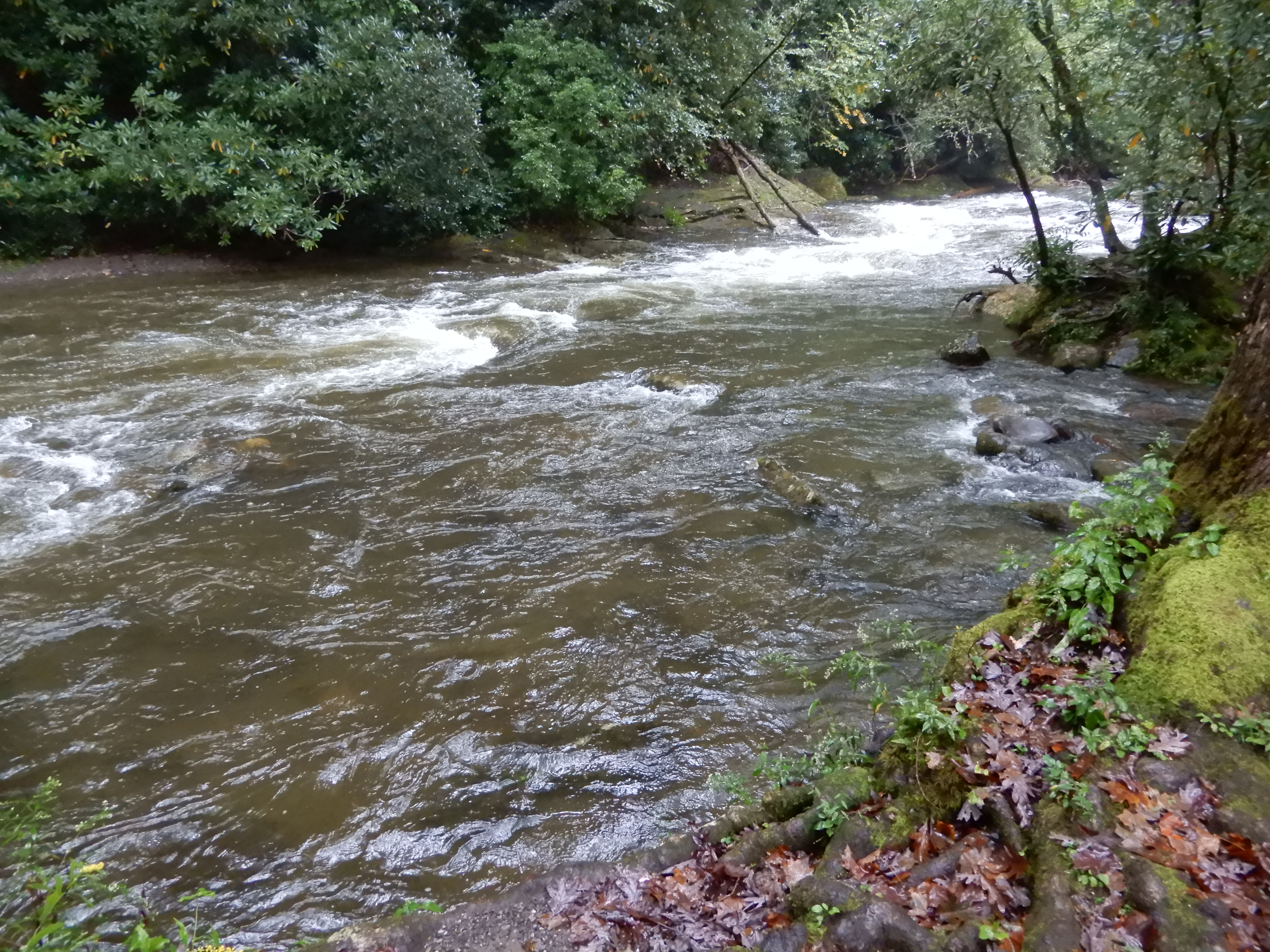
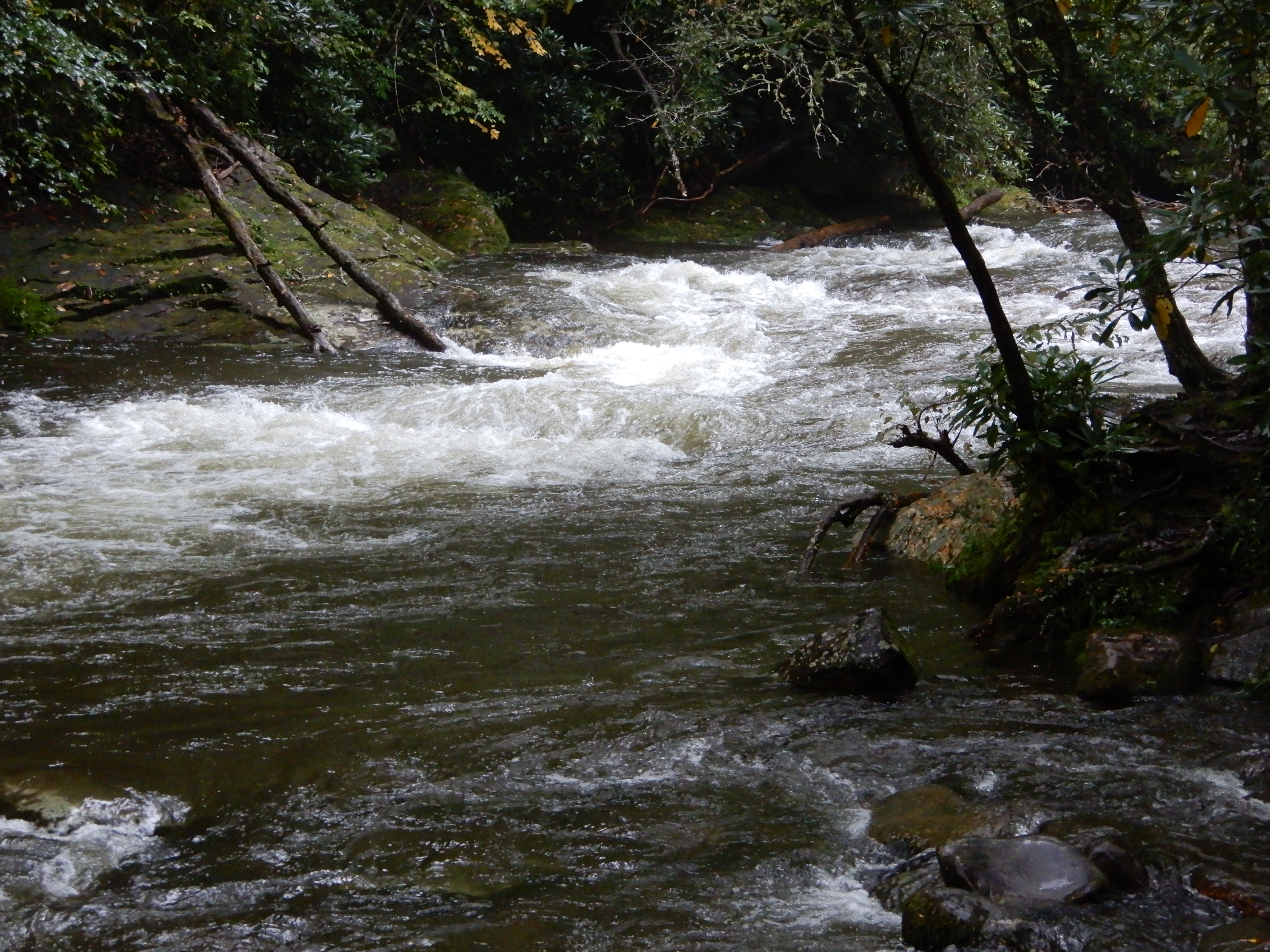
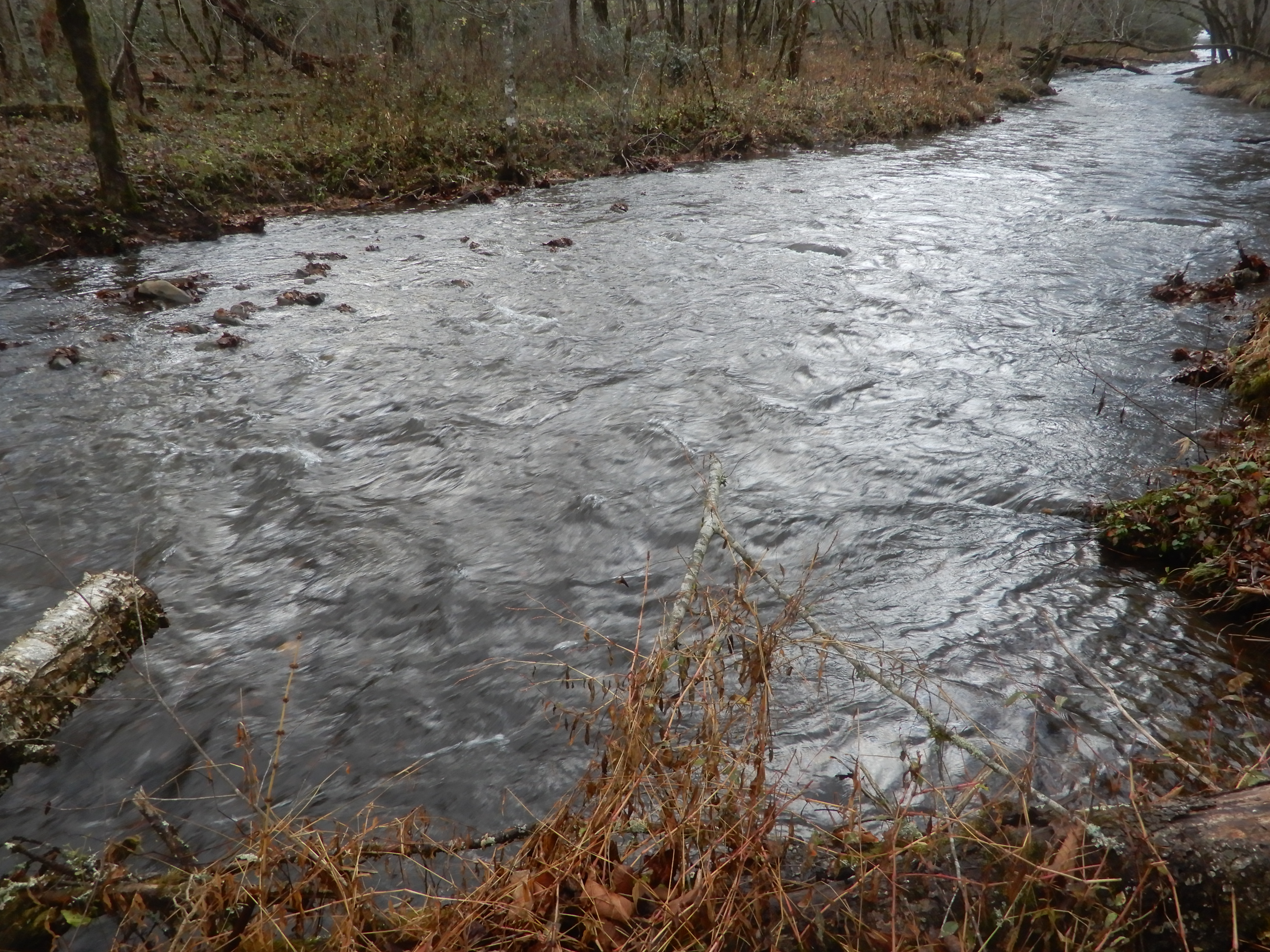
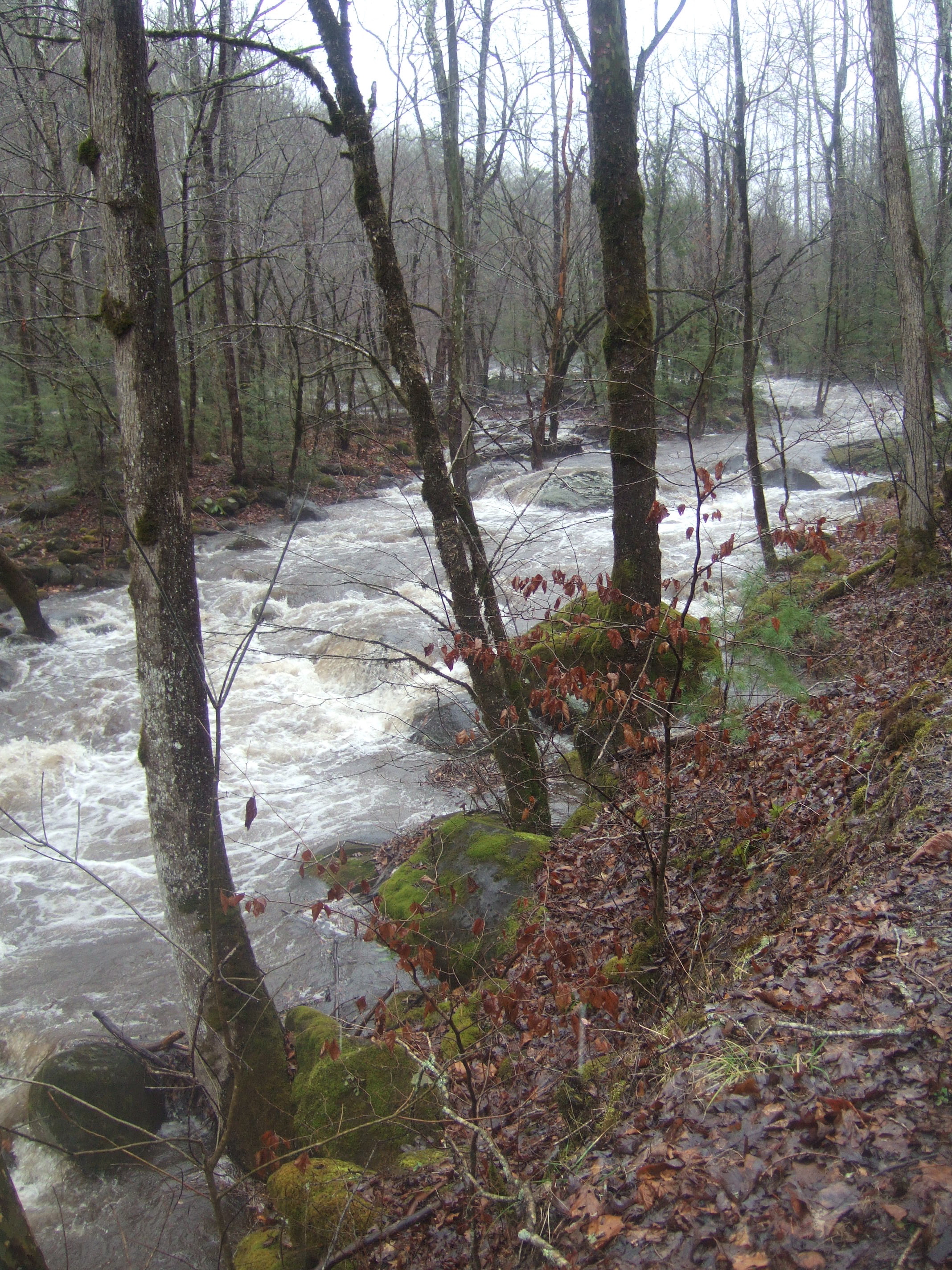
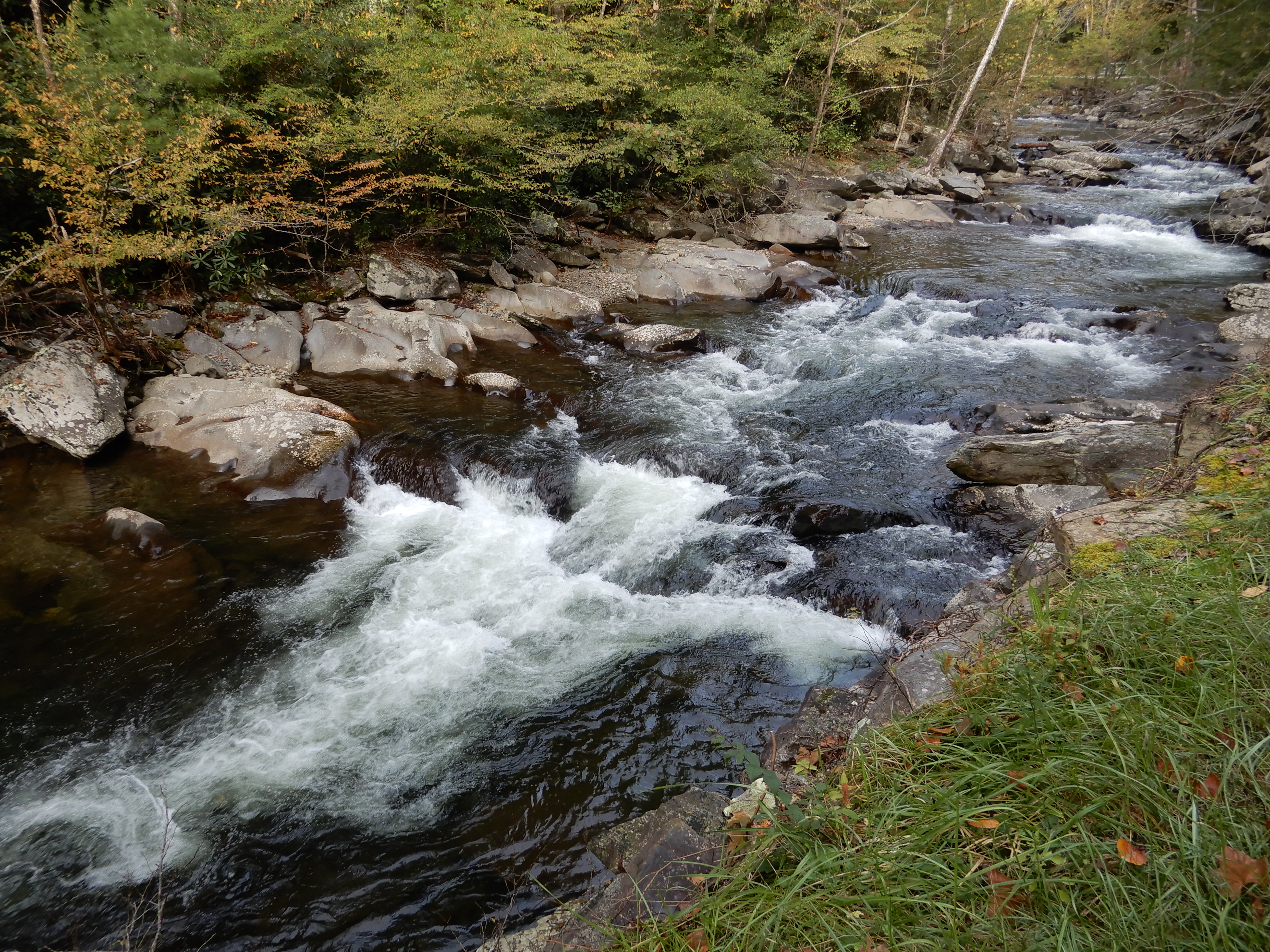
Where like everywhere else the waters were raging from all the recent downpours.
We drove on The Road To Nowhere. The fog really made it look like nowhere.
One thing we did see was a bear. It was a baby, climbing over a guardrail to disappear in the trees. Never saw the mother.
We gained elevation the further we drove.
At the end of the road we saw a group of people hiking on into the park, but we’d had enough. We turned around and drove back to our campground and relaxed for the rest of the day.
American Locations 18 – Smoky Mountains National Park, Smokemont Campground, North Carolina
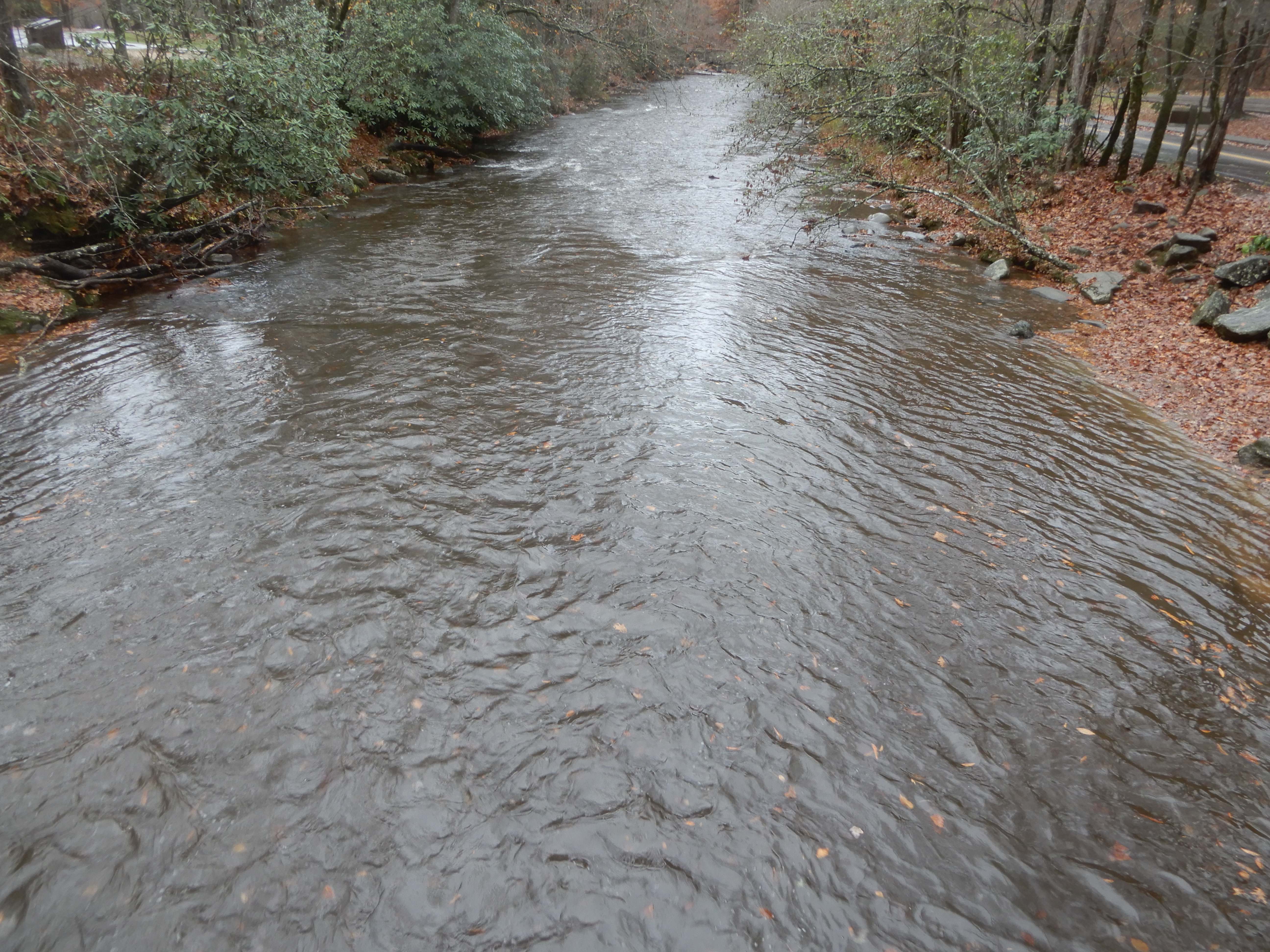
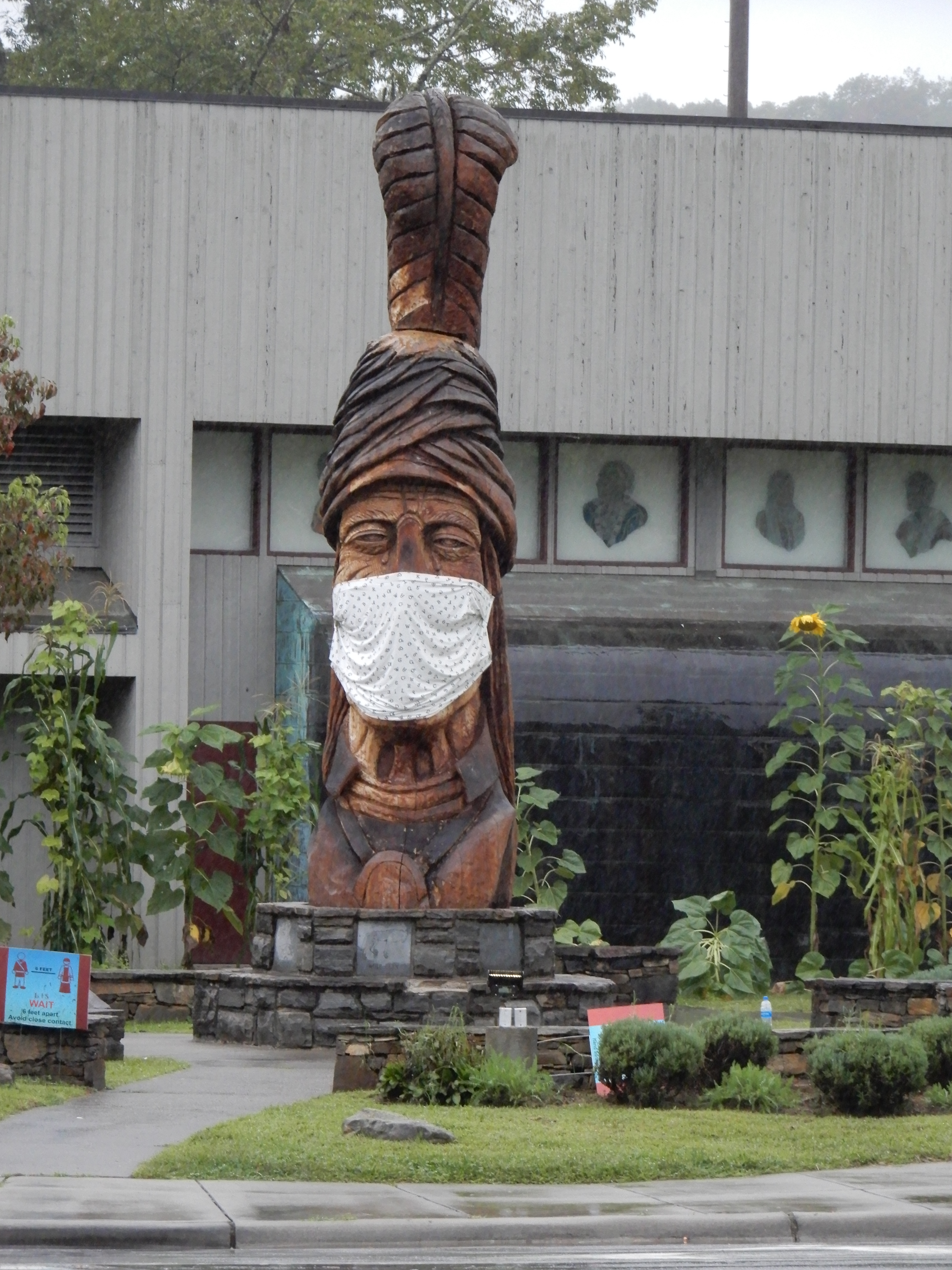
a torrential downpour all night long that second night. In the morning the river behind us was raging. We left Grumpy Bear Campground early that morning and drove into Cherokee where there was a good reminder Covid was going on.
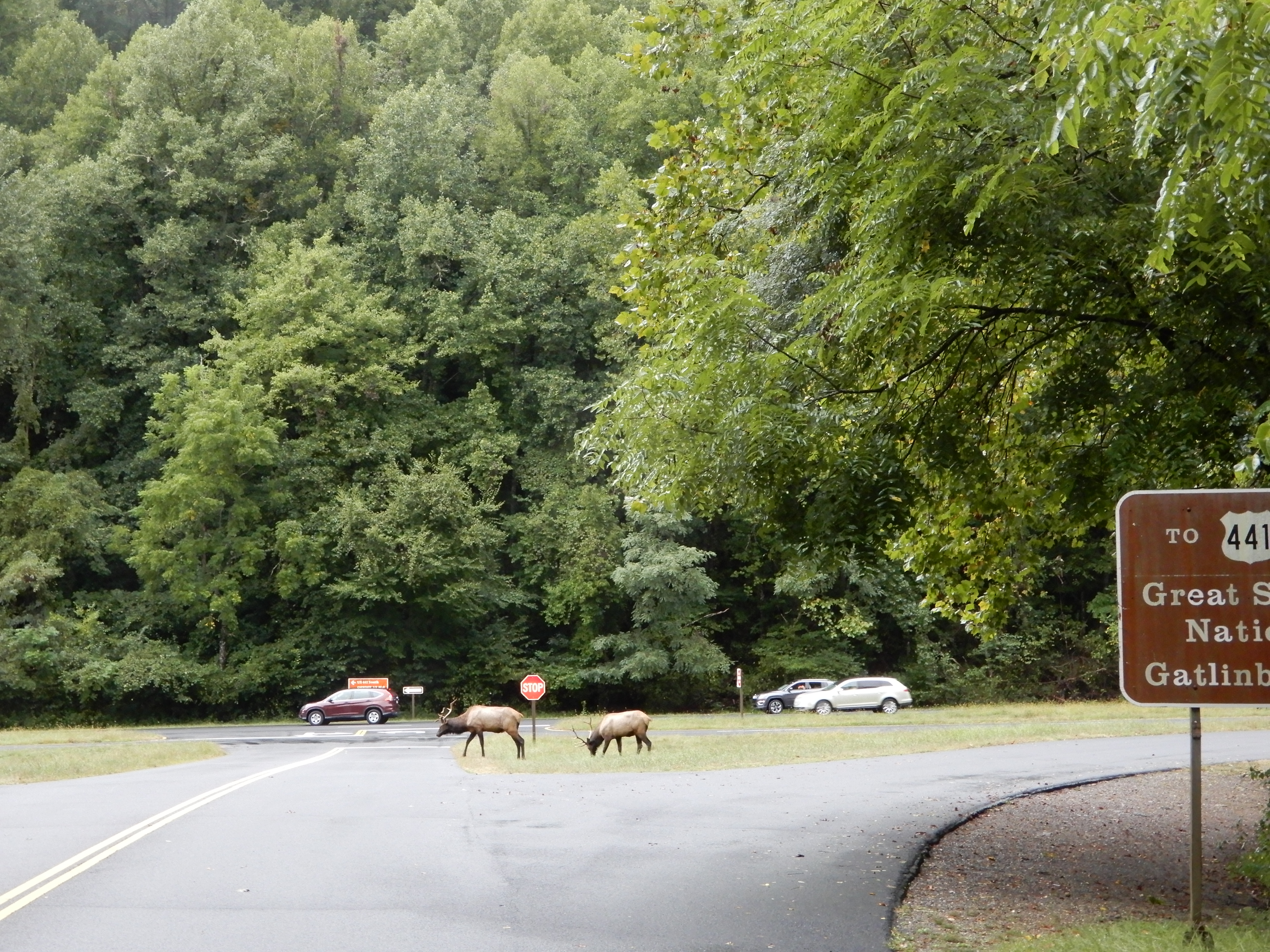
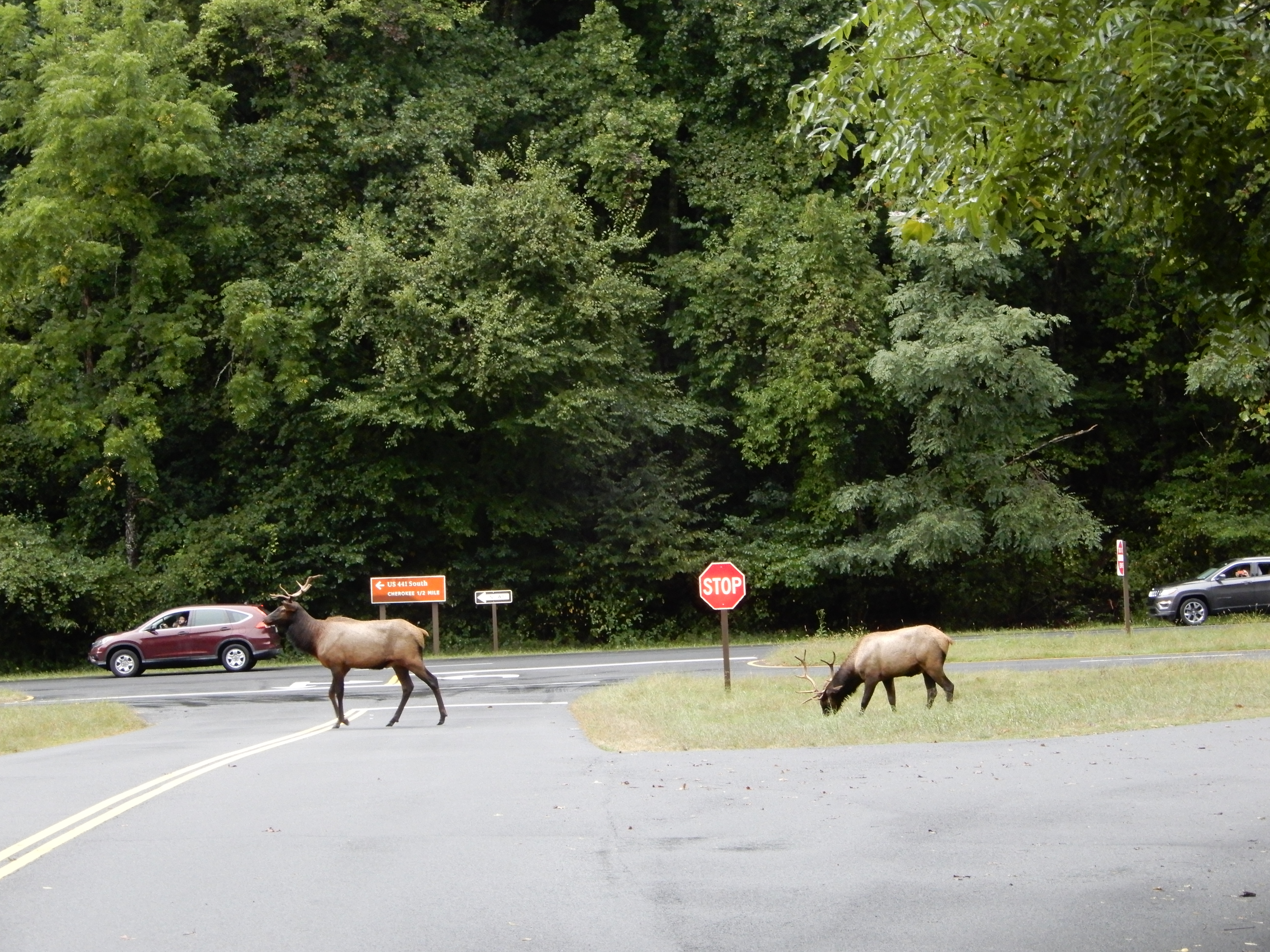
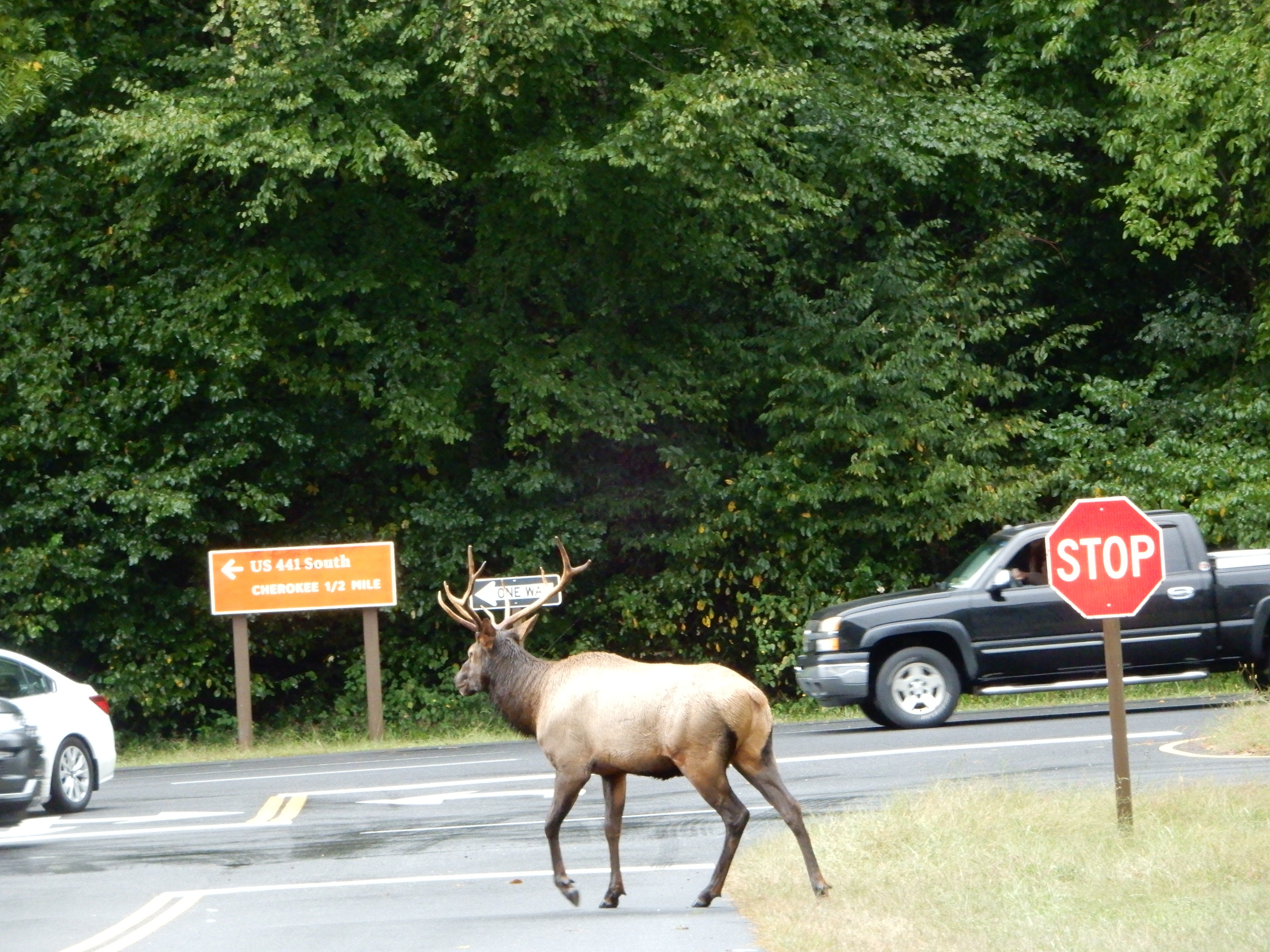
We drove into Smokey Mountains NP and stopped at the visitor center. This time the elk were much nearer the road.
We drove on to Smokemont Campground and got a site. Since it was too early to check in, we drove the Cove Road loop through the Cherokee Reservation. All the creeks were raging.
Returning to Smokemont from Cove Road, we set up in out site and ate lunch. It drizzled rain the entire day.
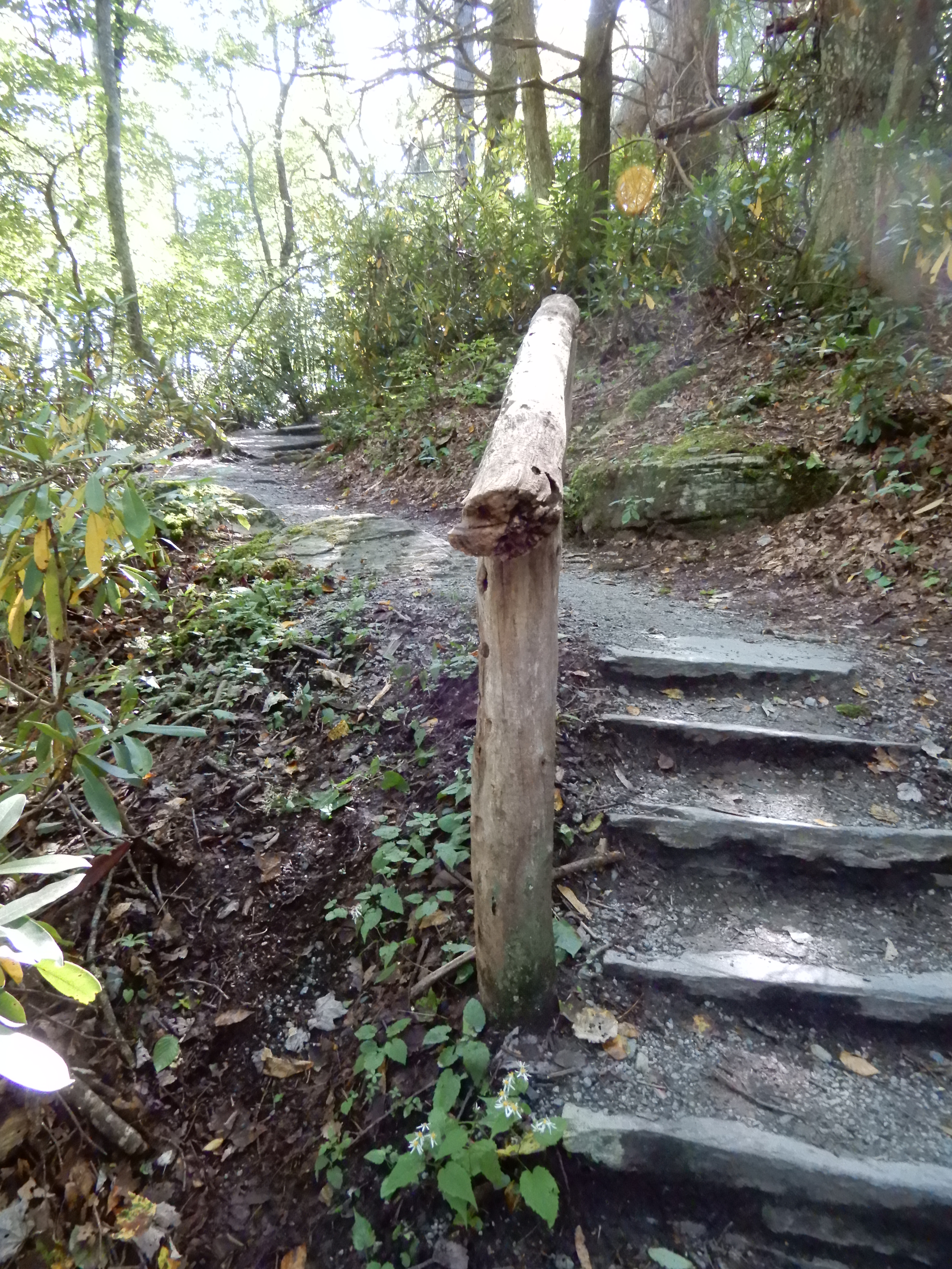
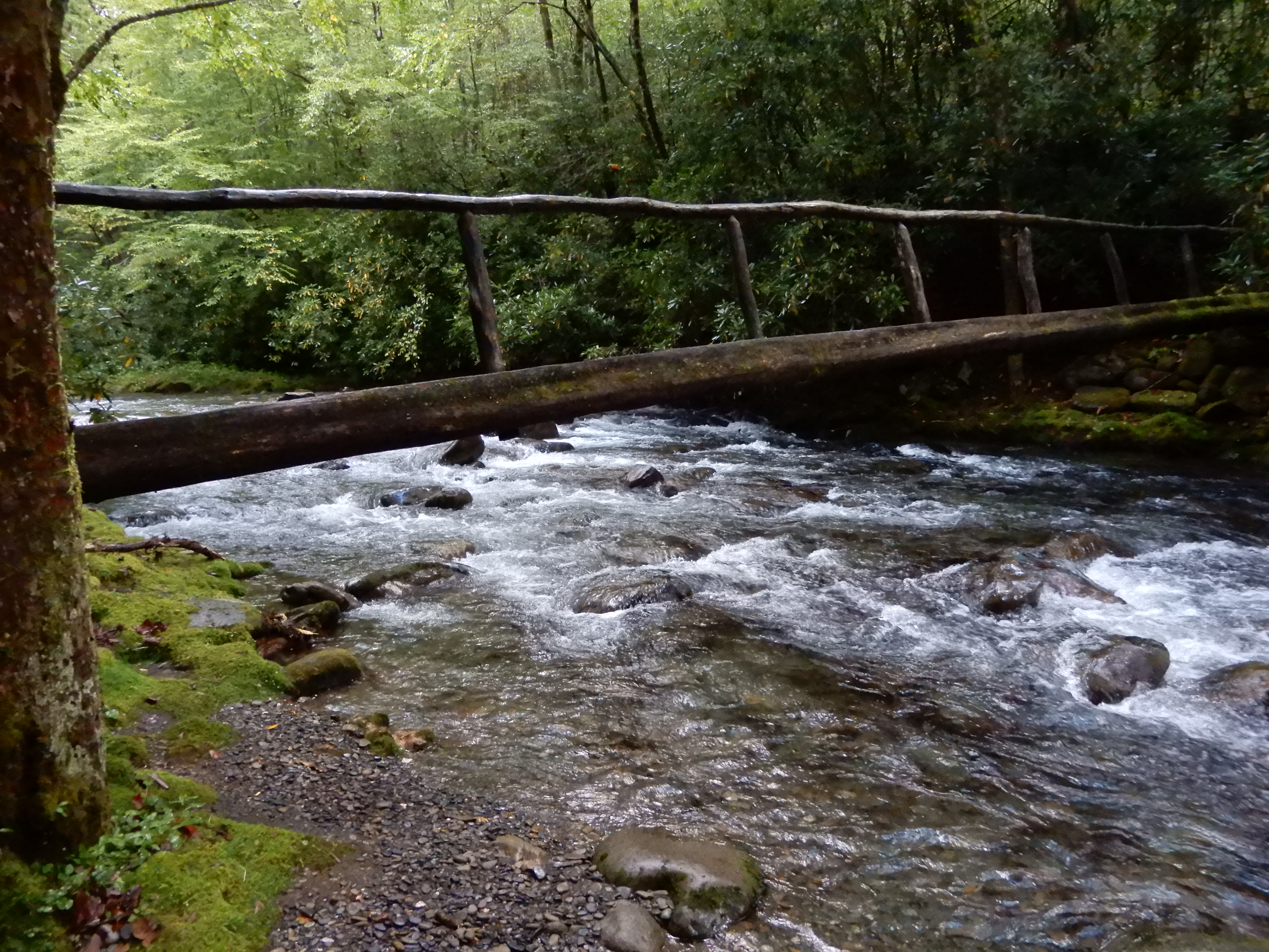
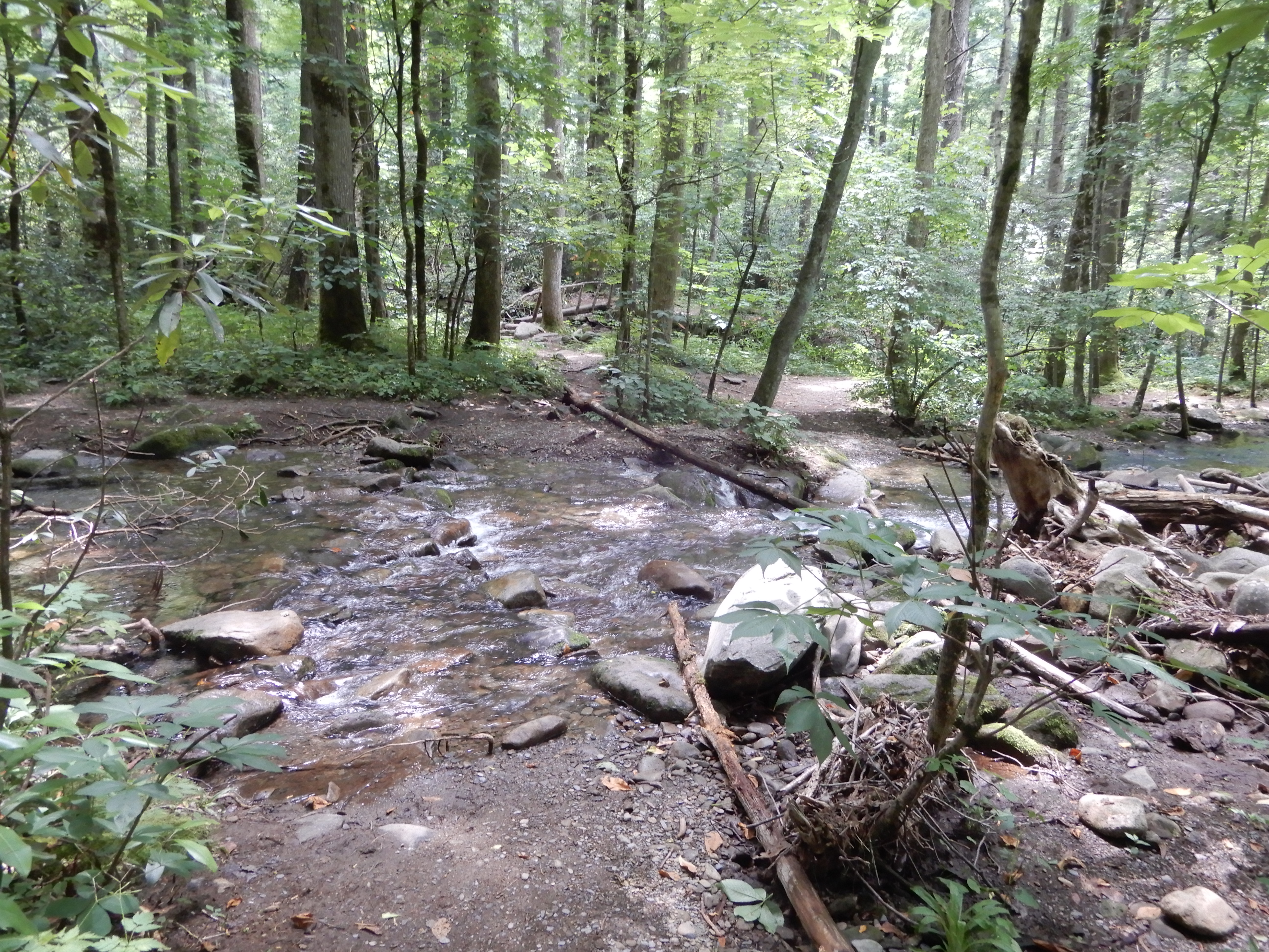
Early that morning I hiked half of the Smokemont Loop Trail. I started out on the horse trail.
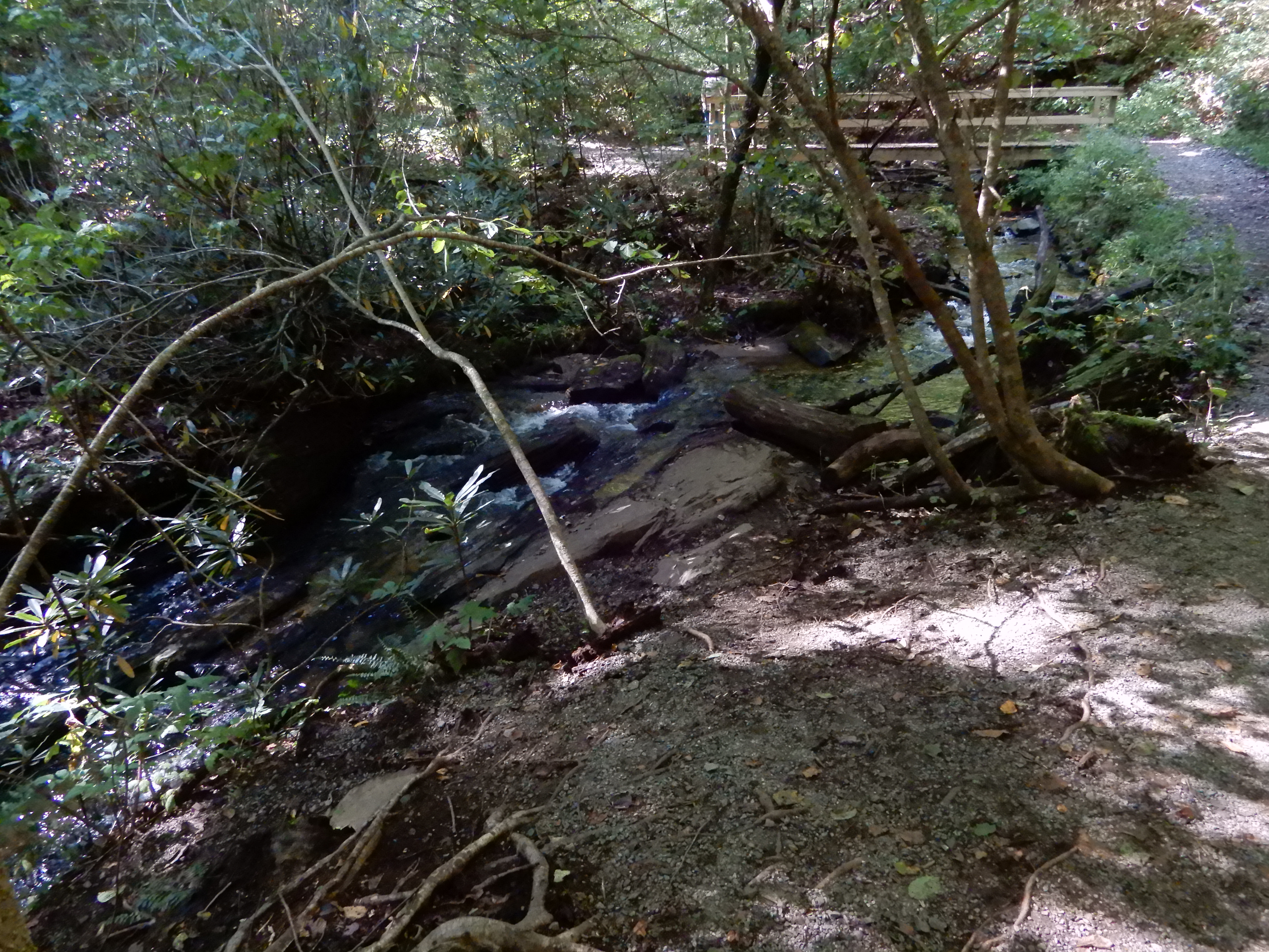
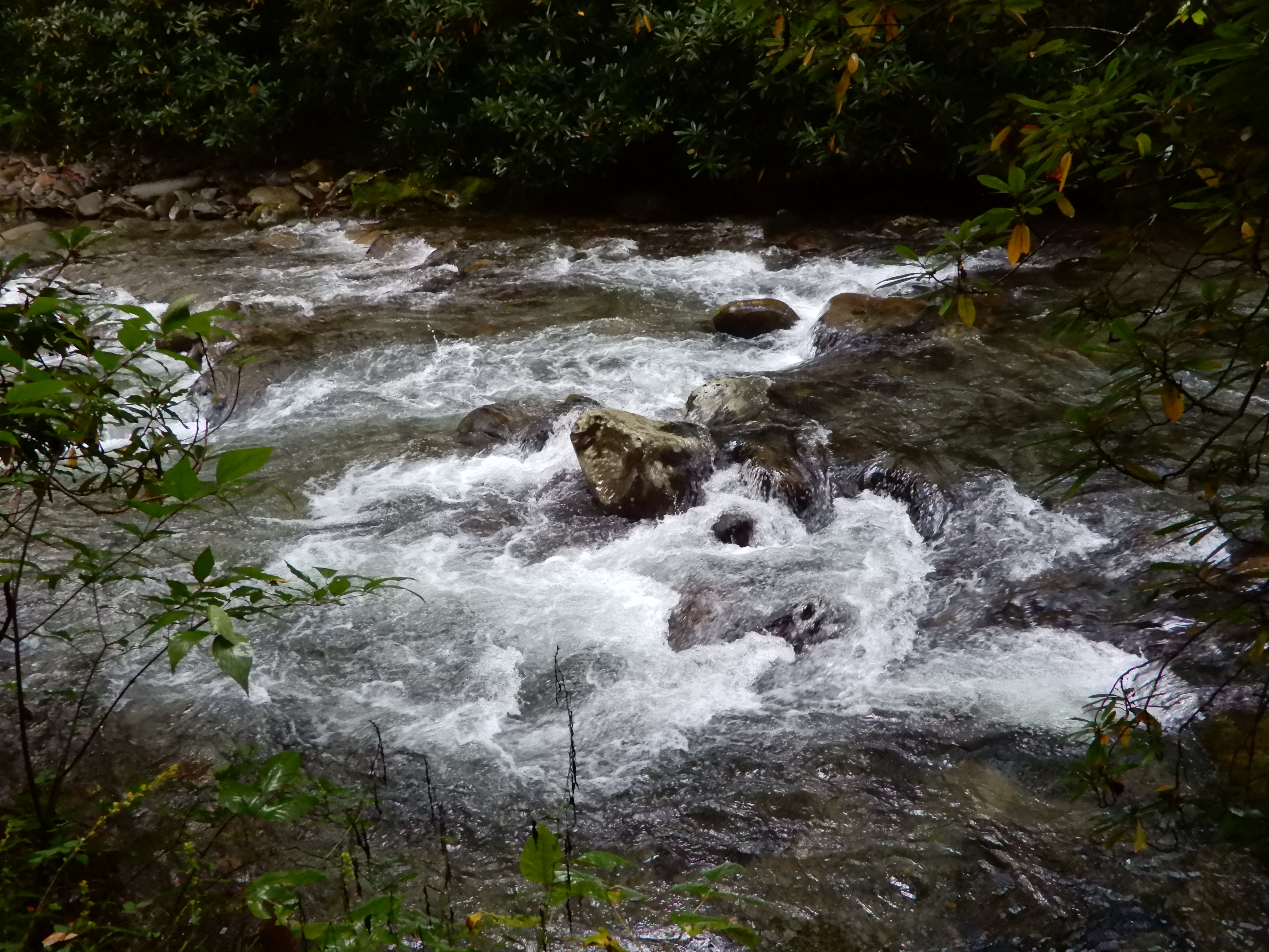
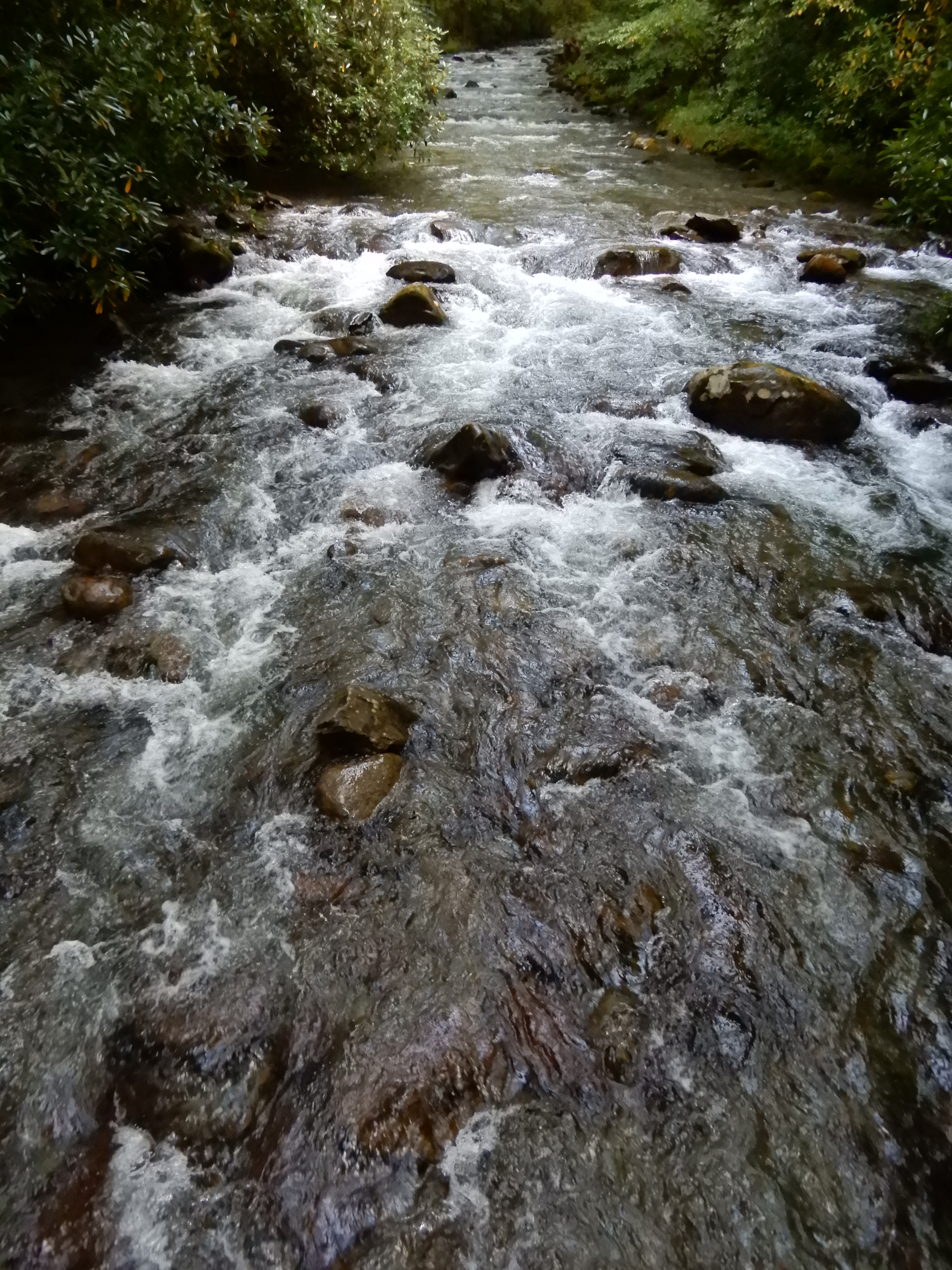
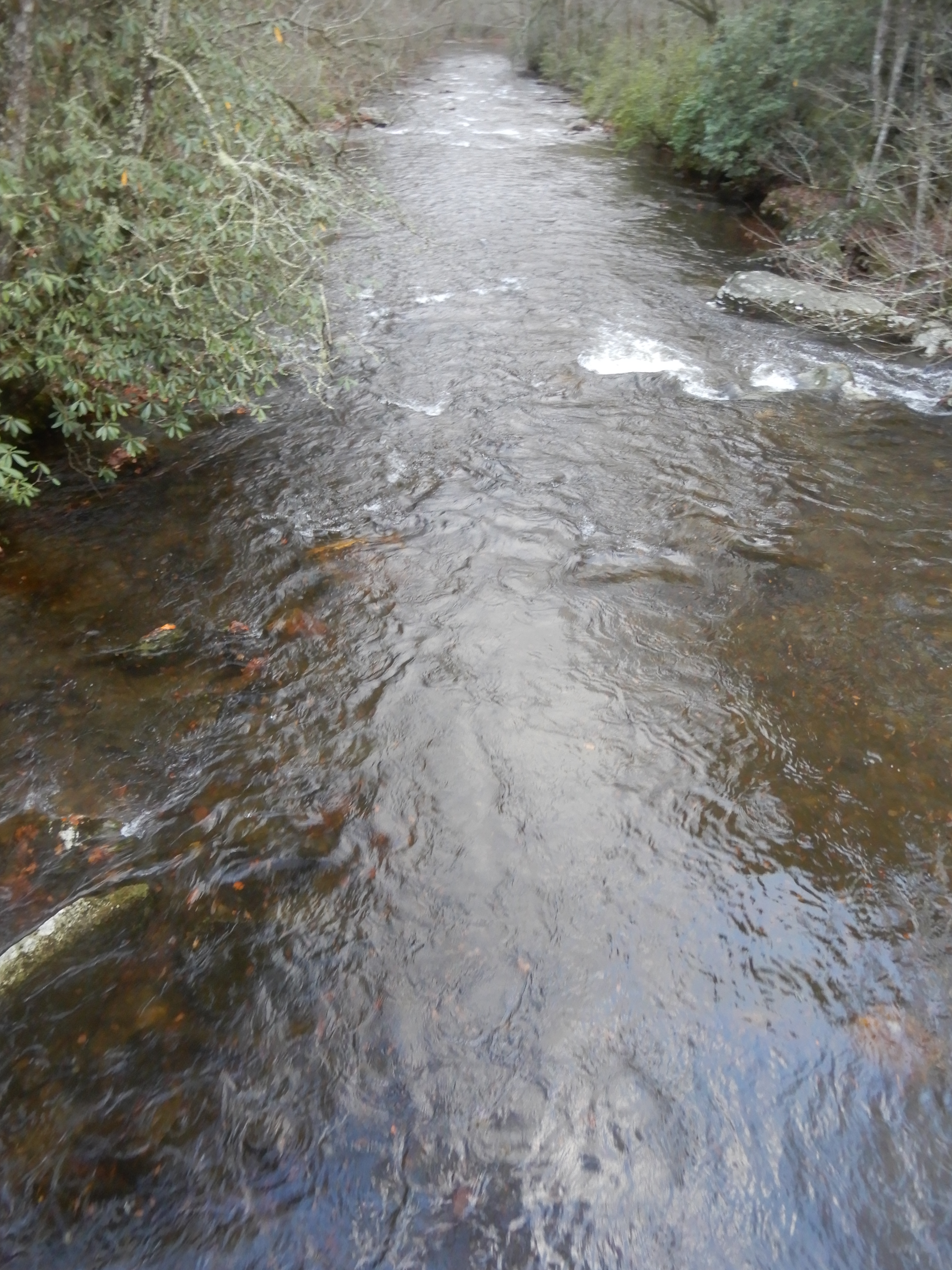
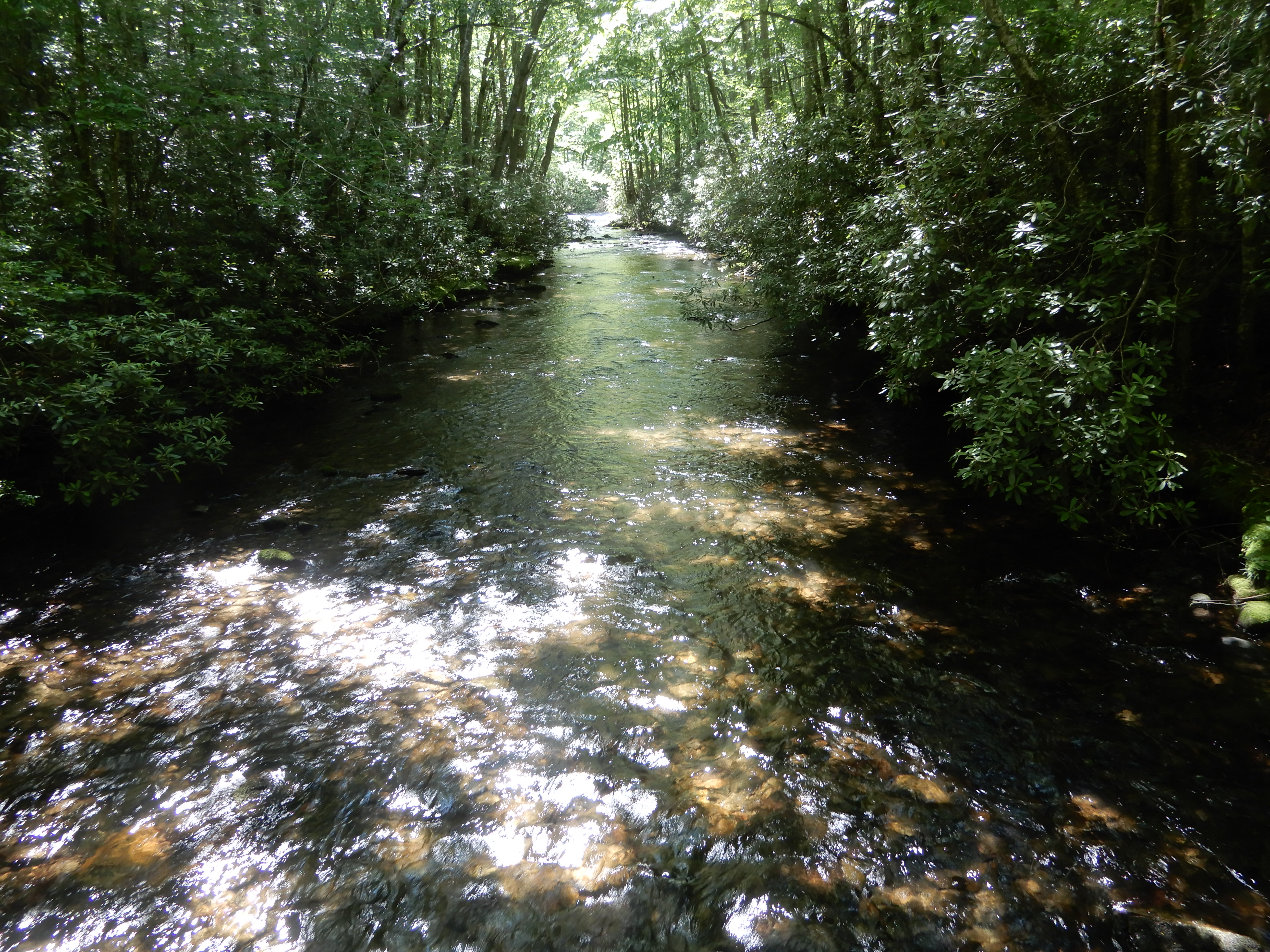
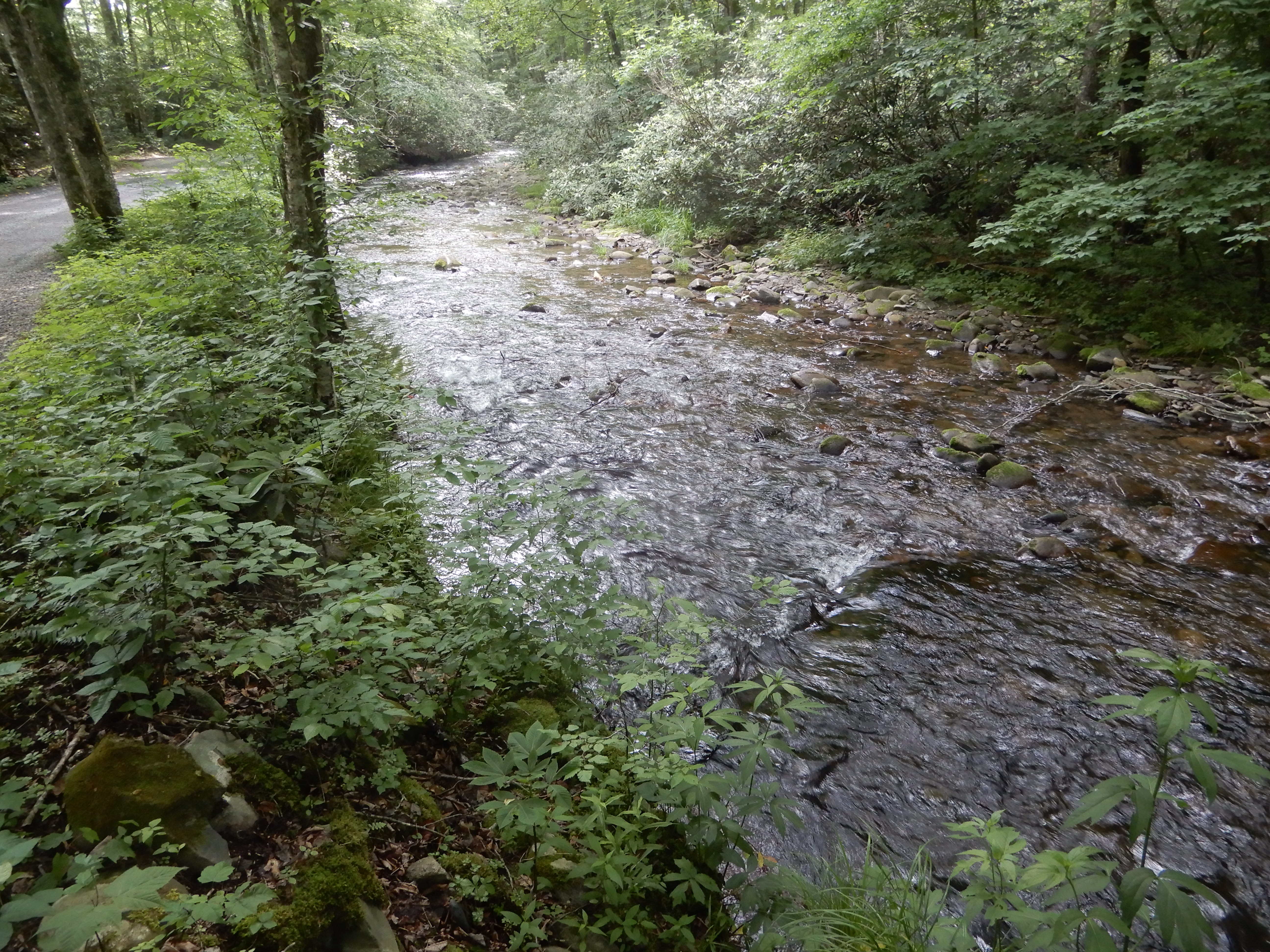
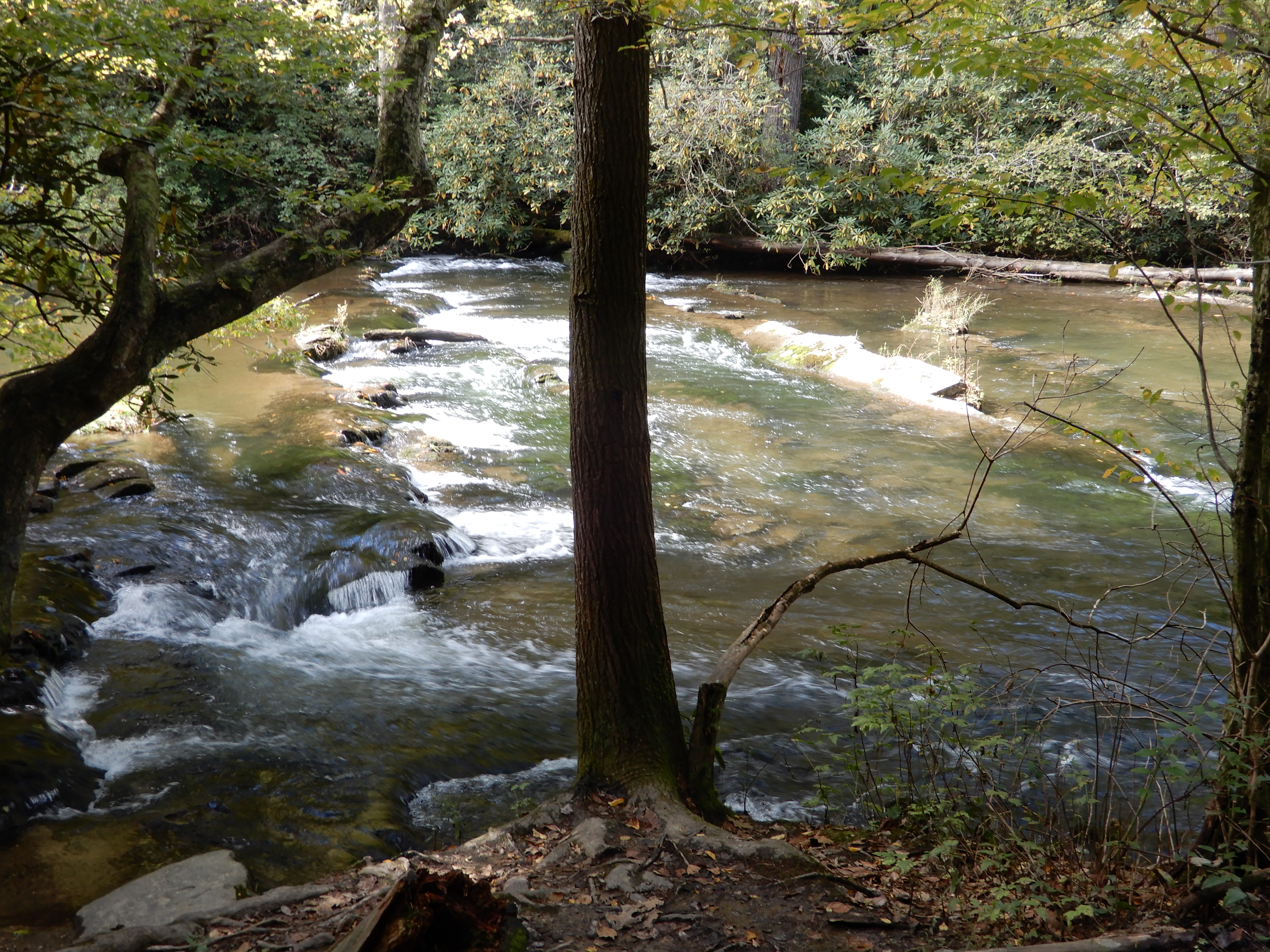
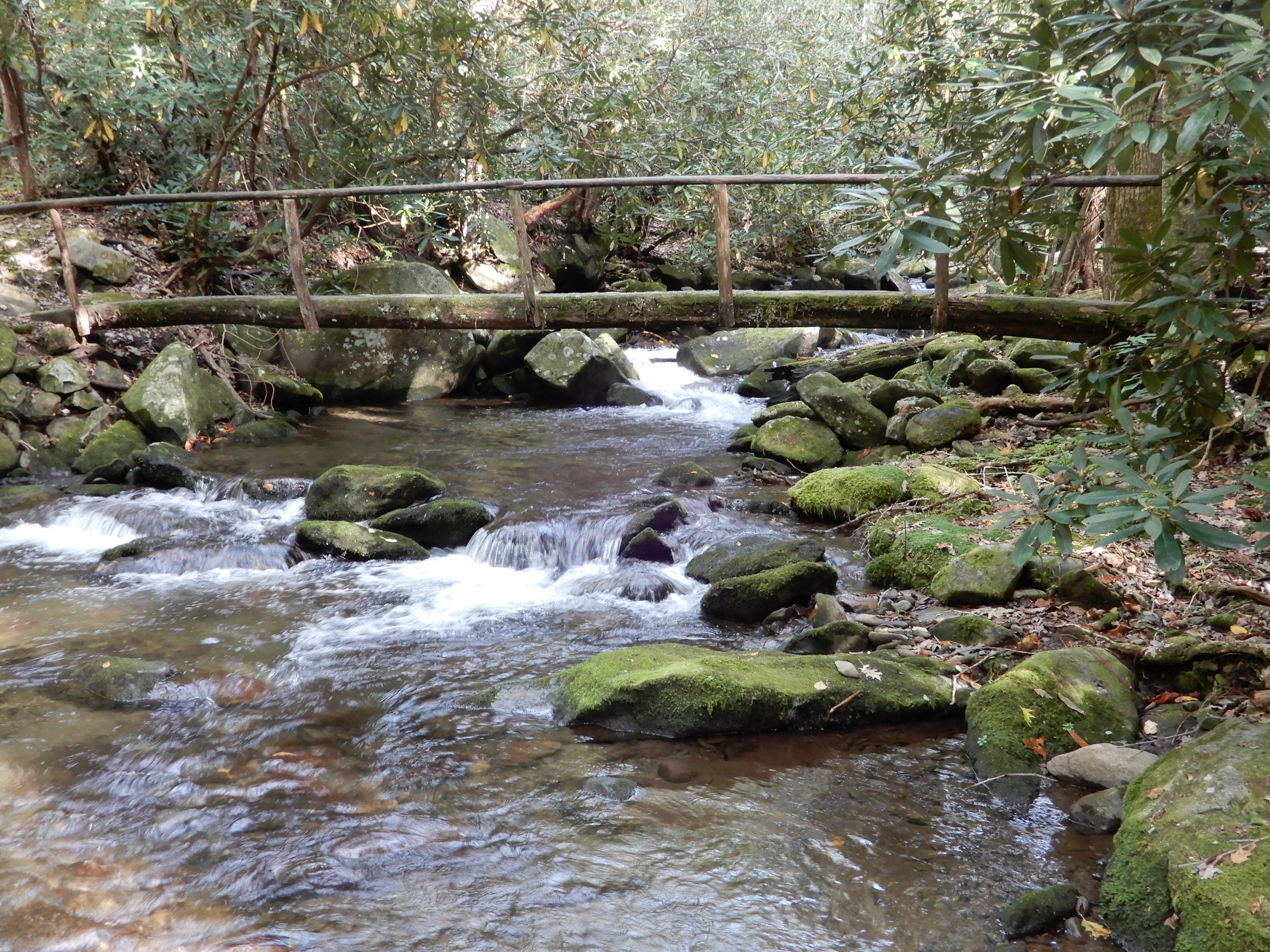
I hiked along the creek, which was raging like every other creek or river.
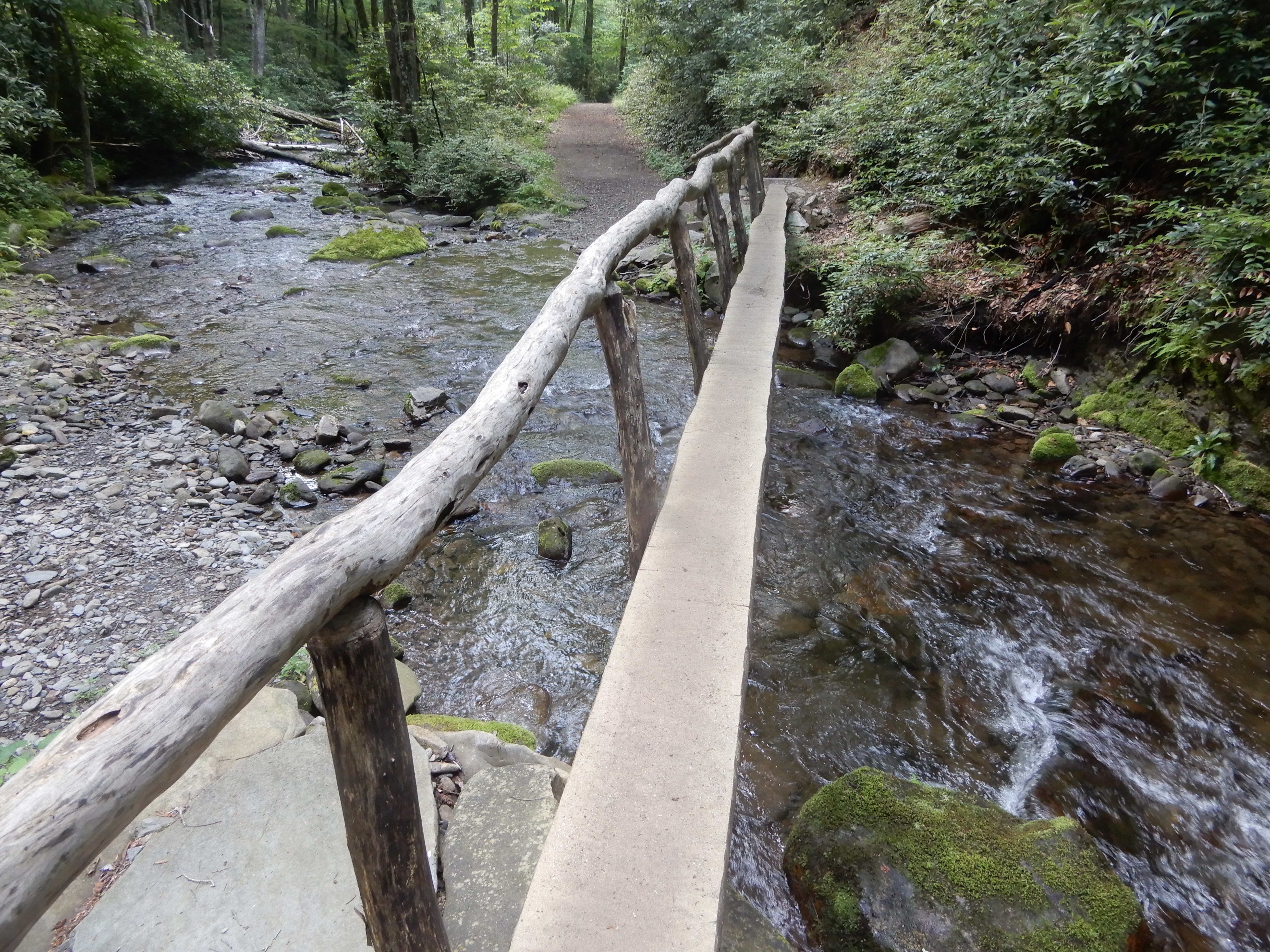
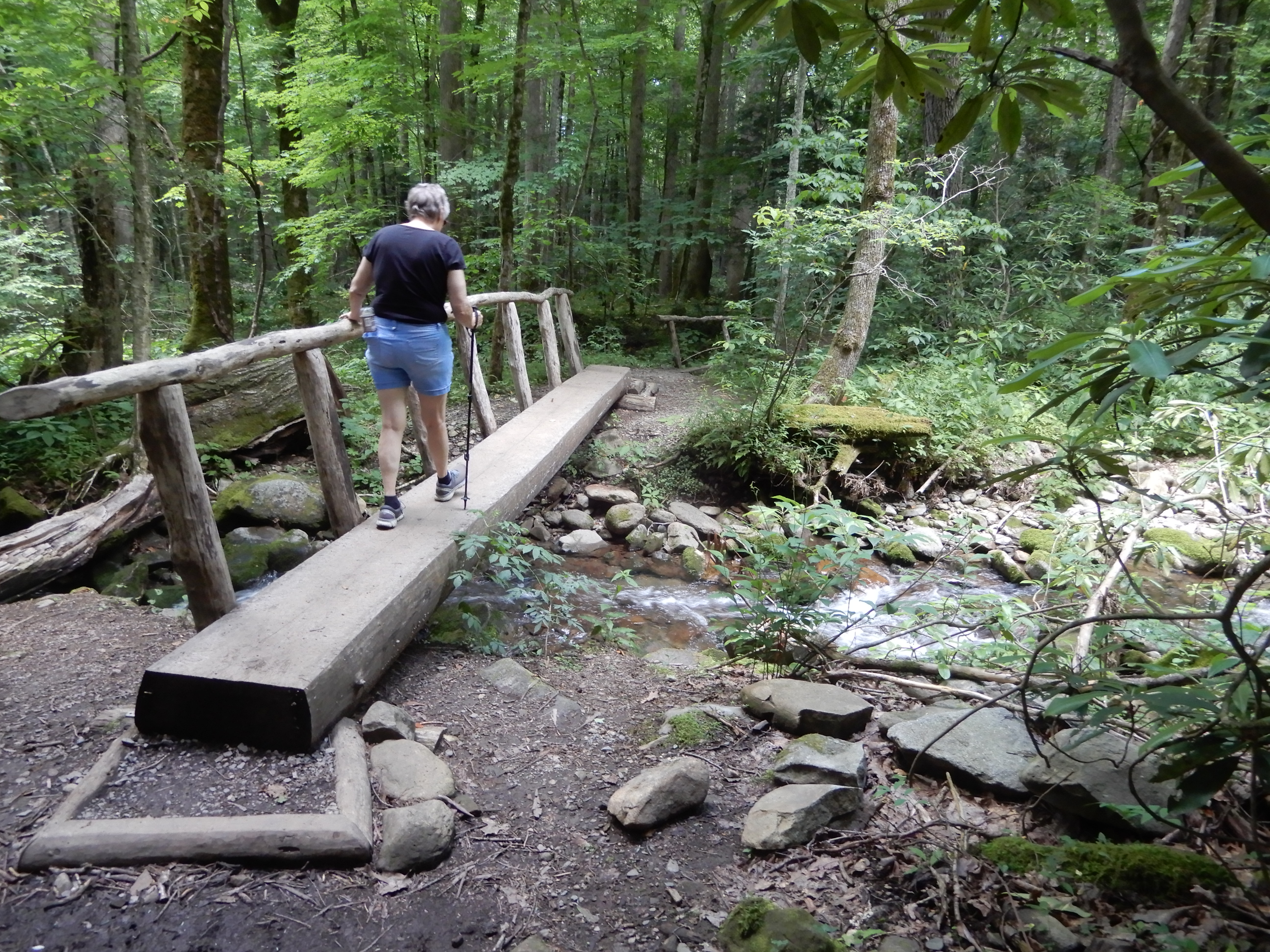
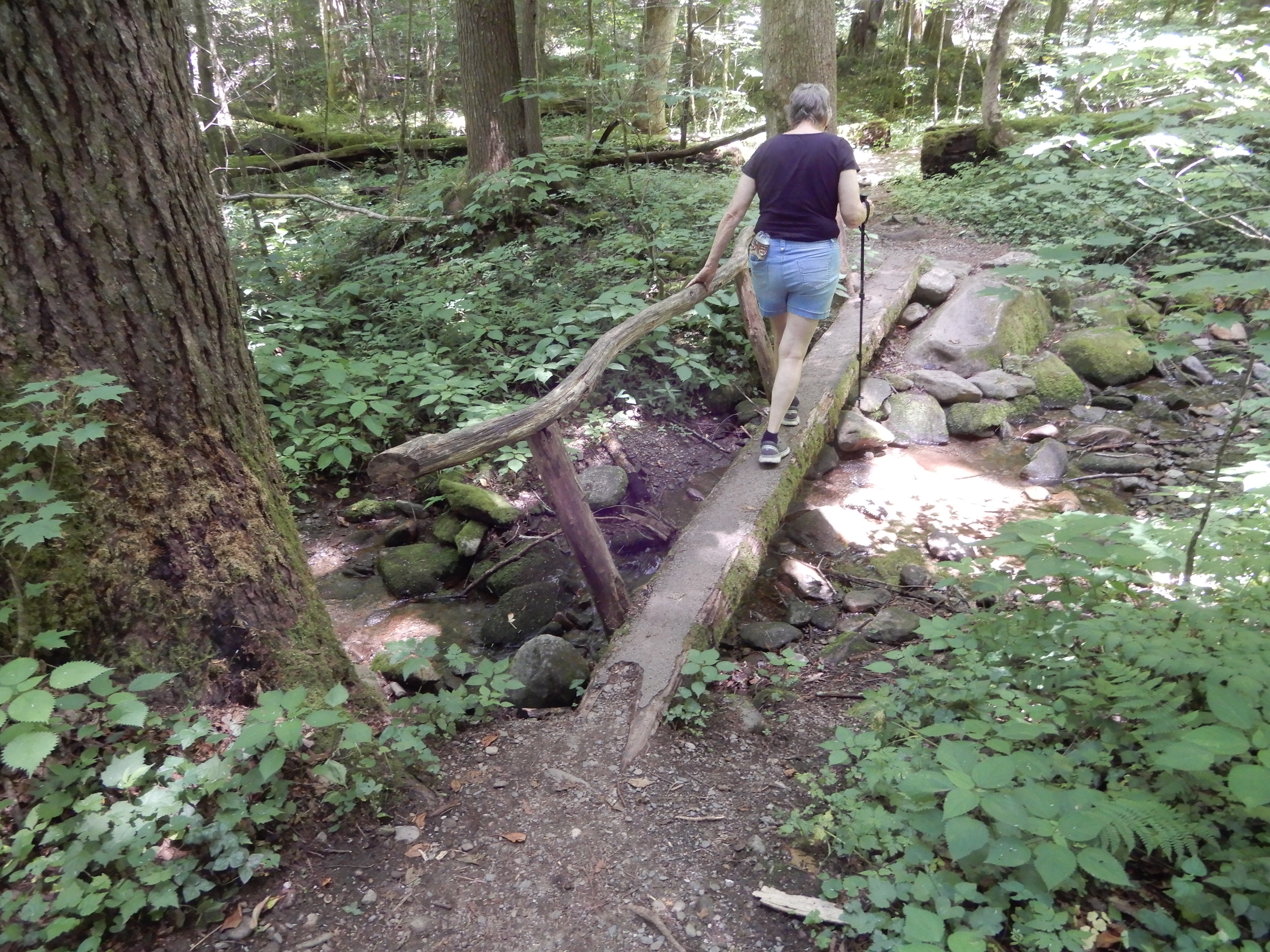
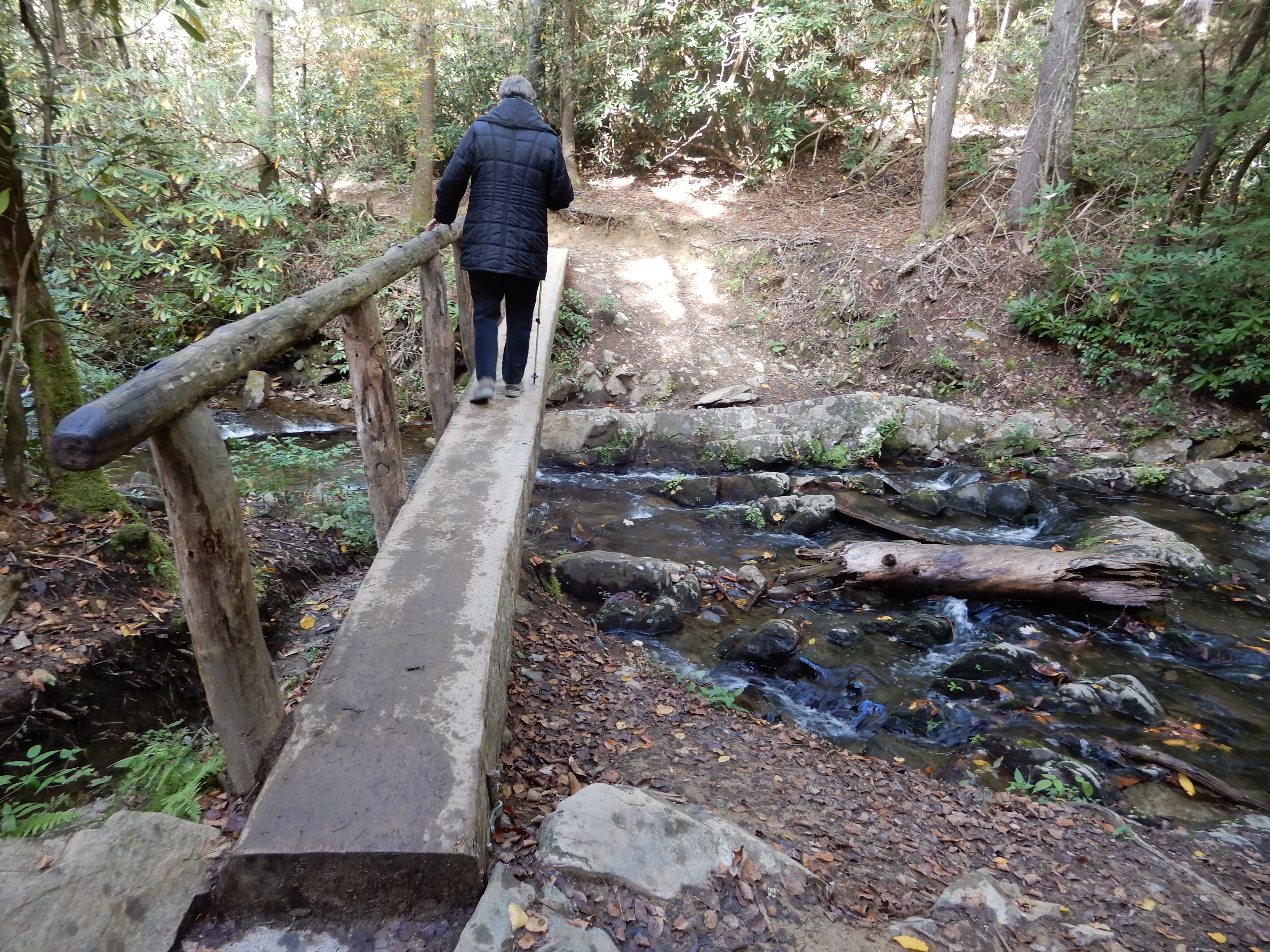
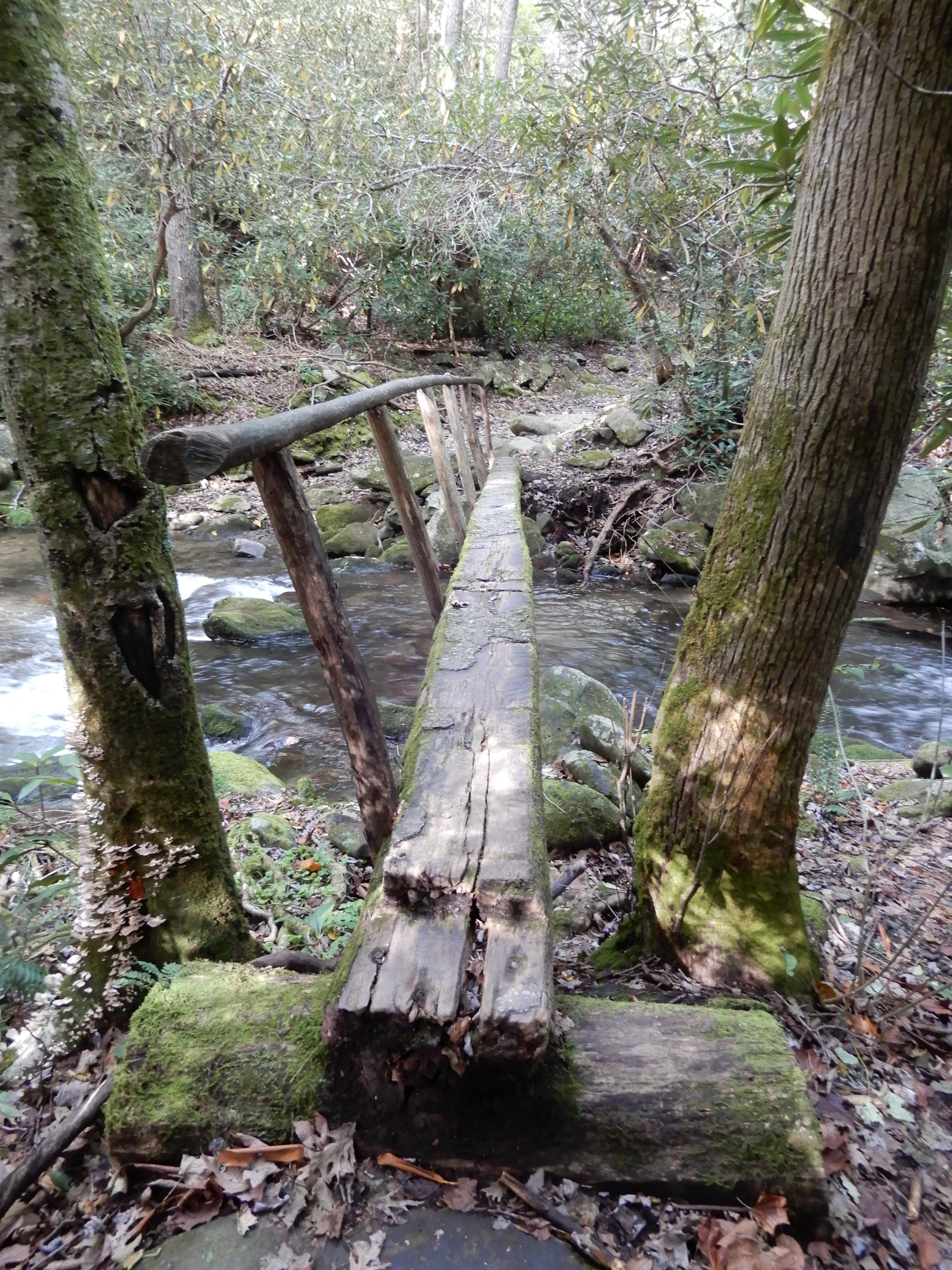
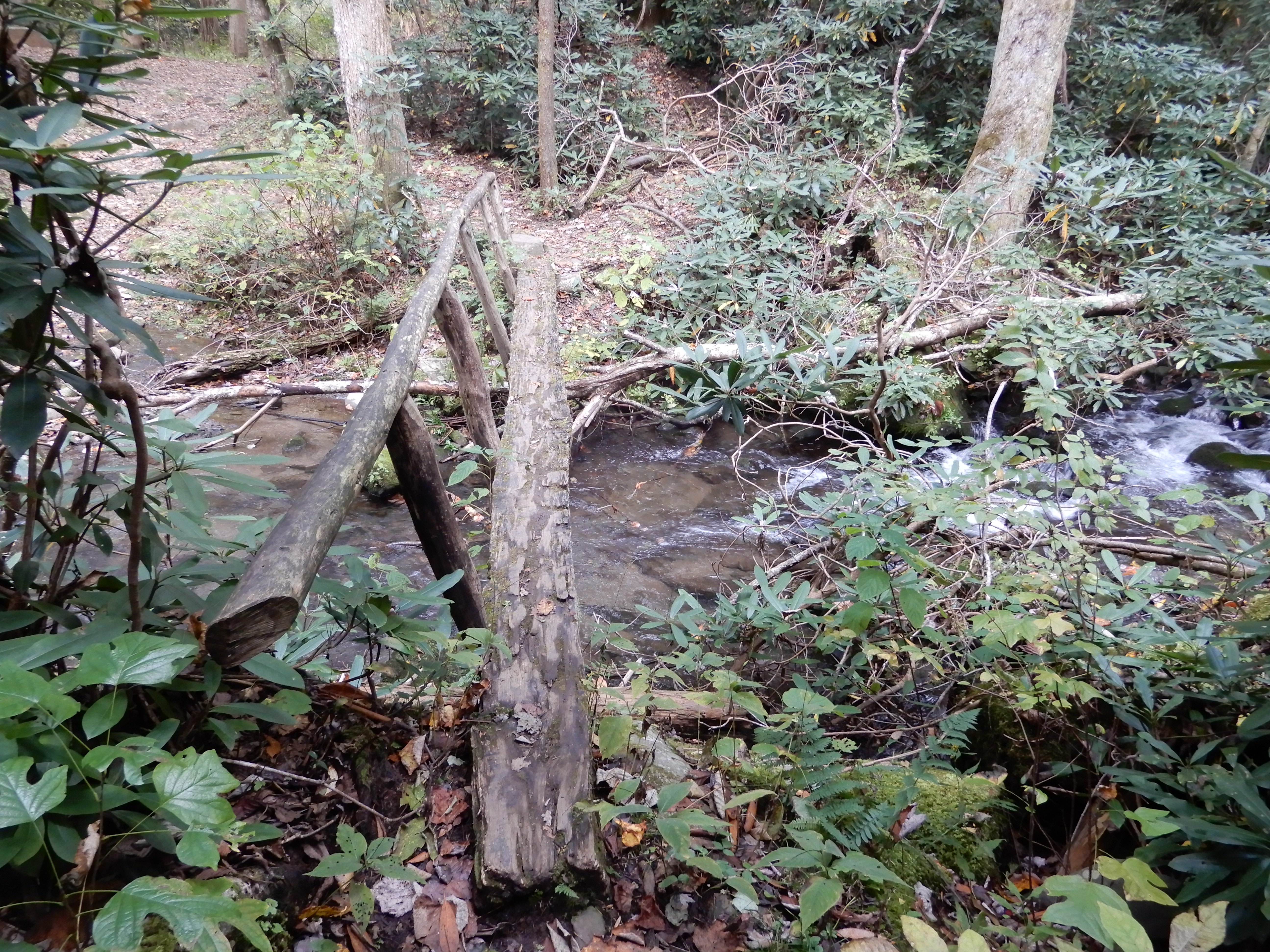
I crossed on a terrifying log bridge. It was high, and narrow, and rain-slick, and covered with slippery moss, with only a rickety limb railing.
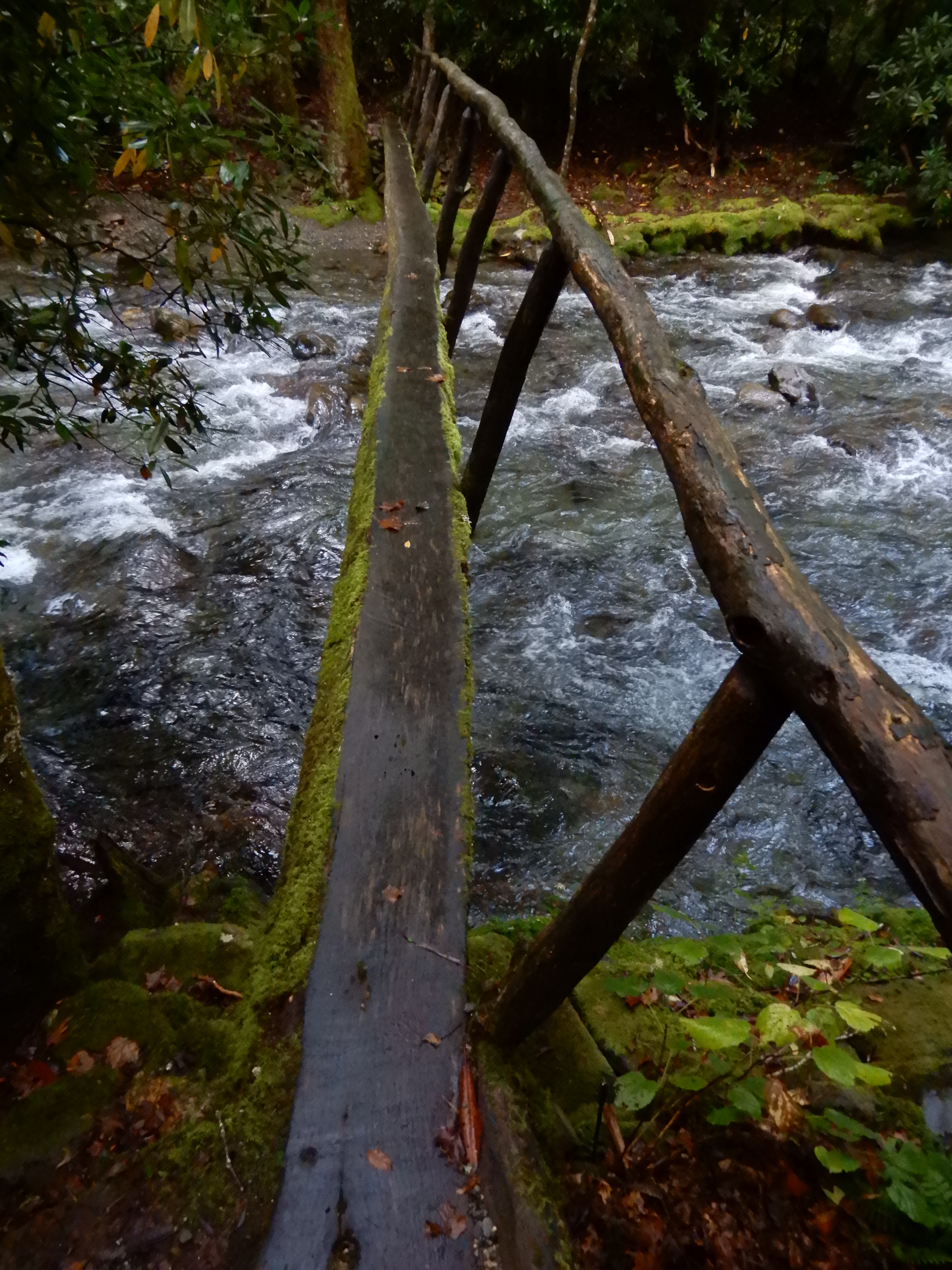
I took my time. Stopping to take pictures.
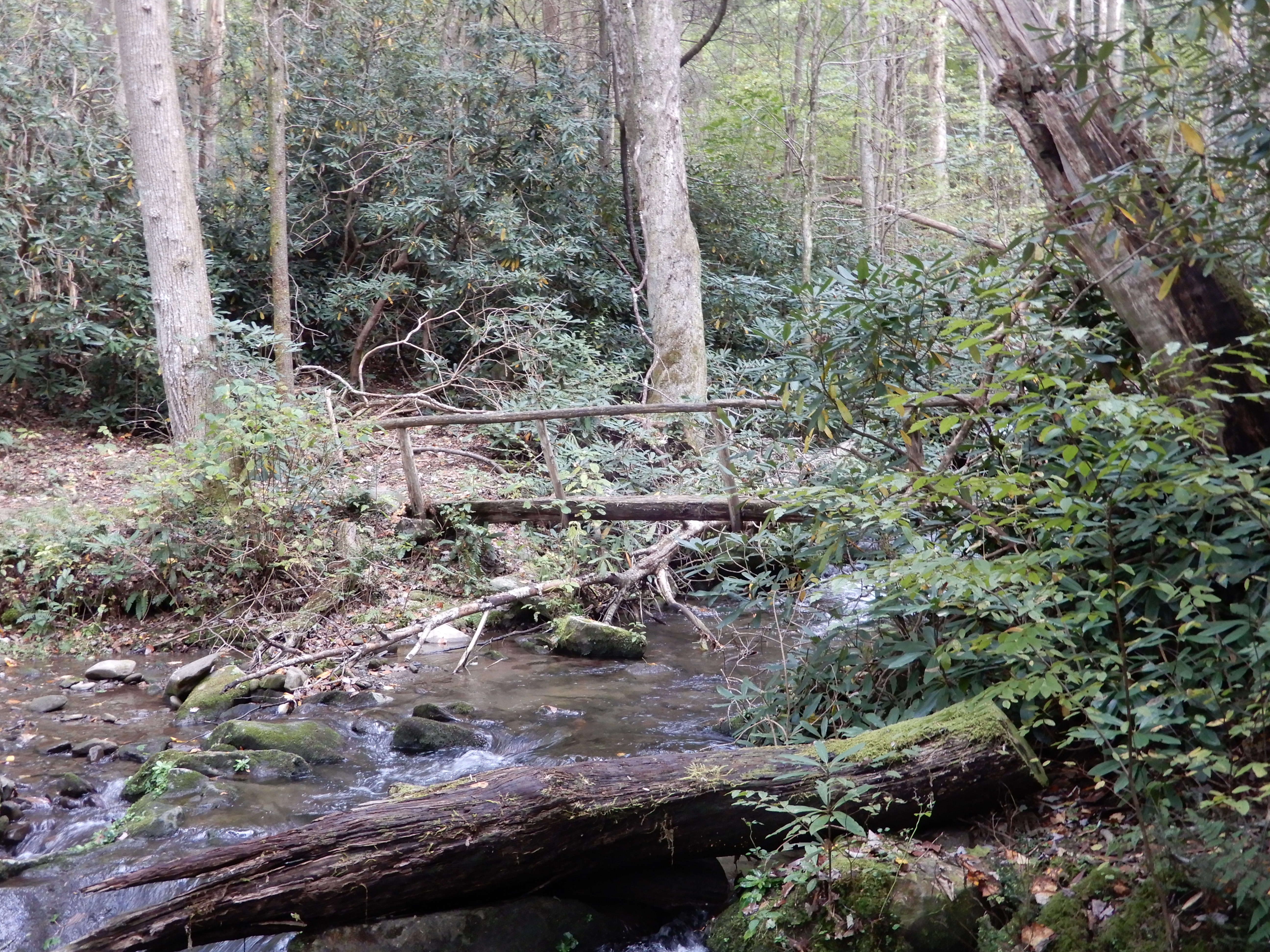
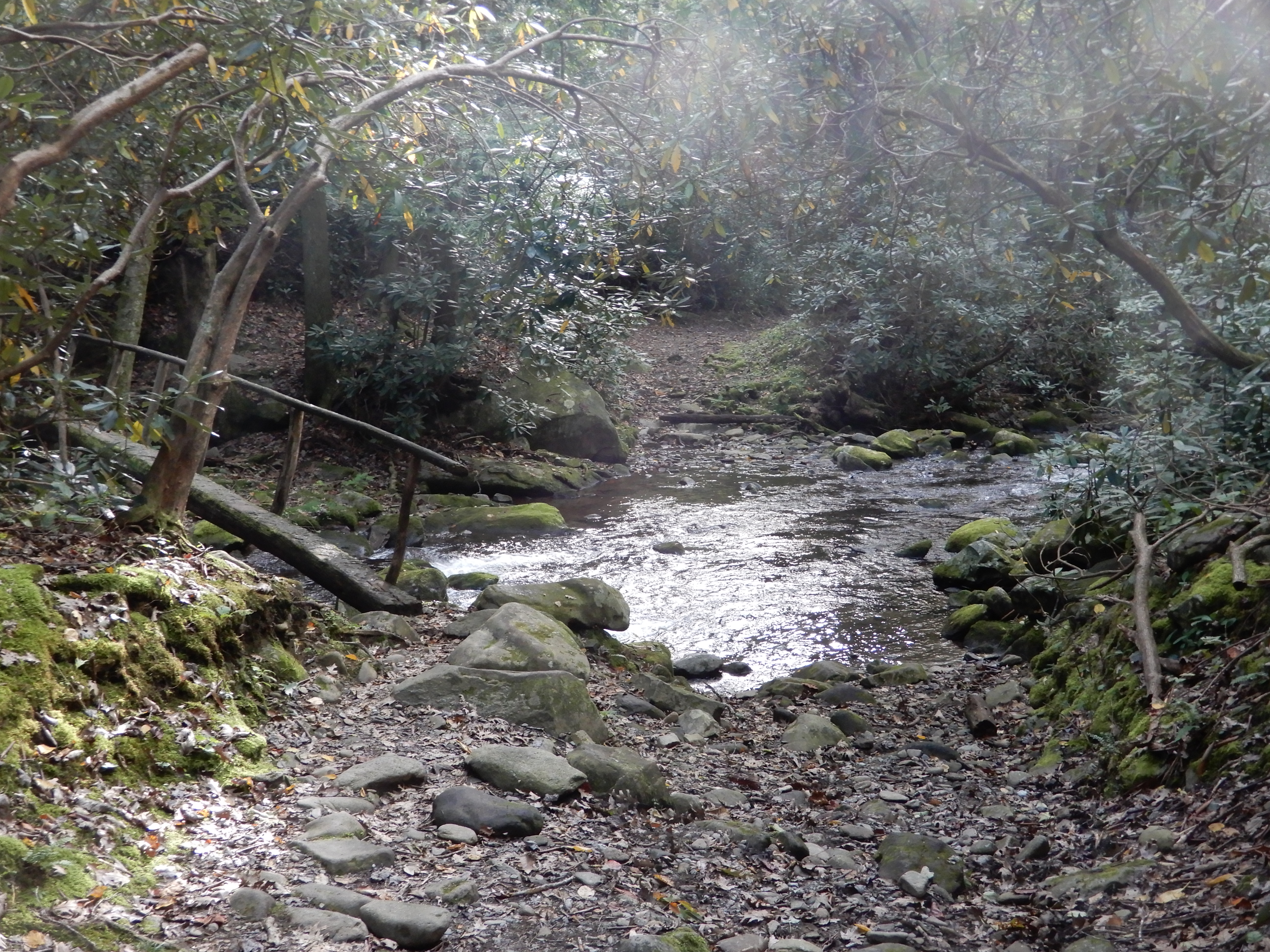
After getting off on the other side, I looked back.
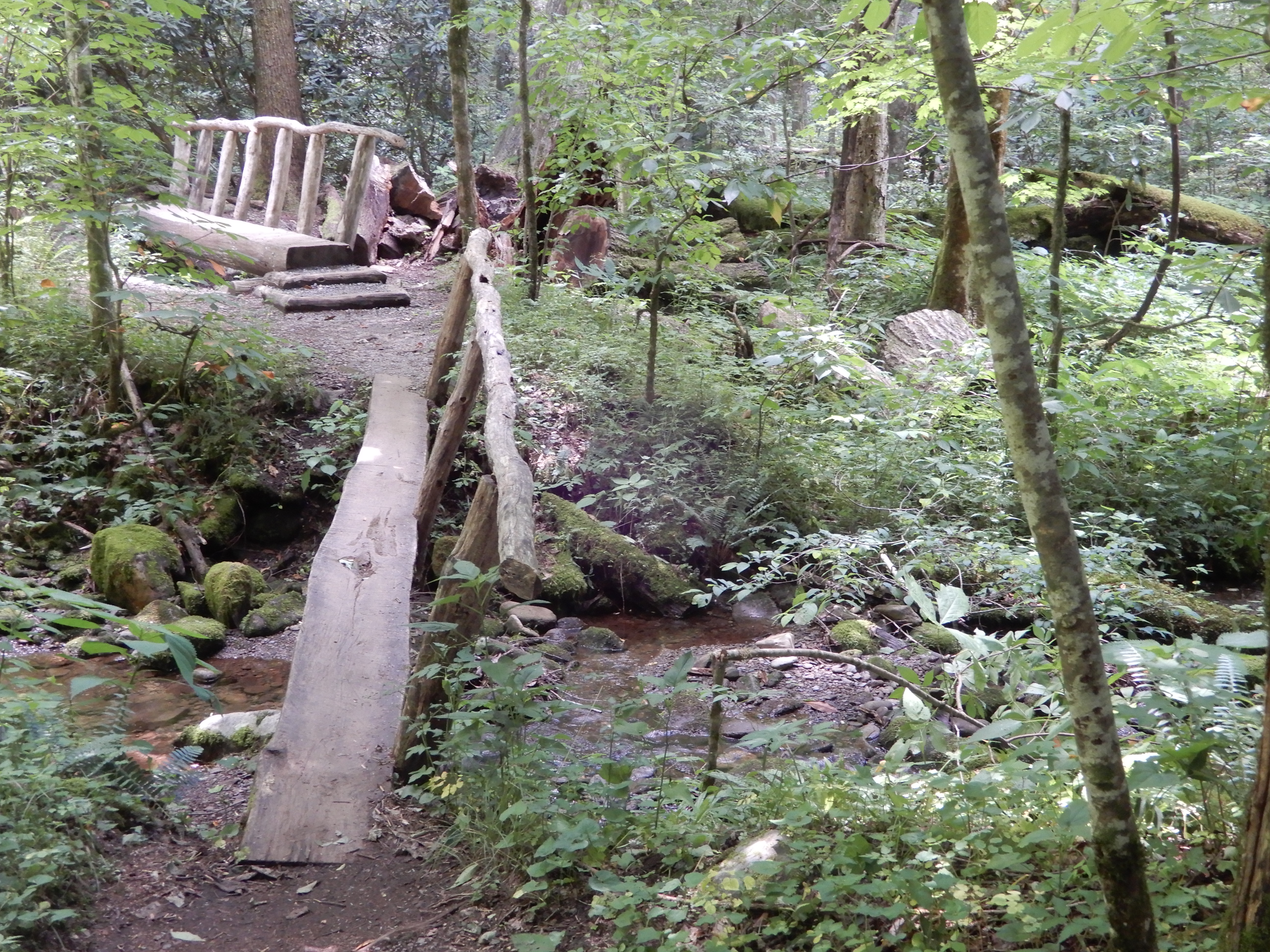
Continuing on the trail, I quickly came upon another log footbridge, only it wasn’t nearly as disturbing.
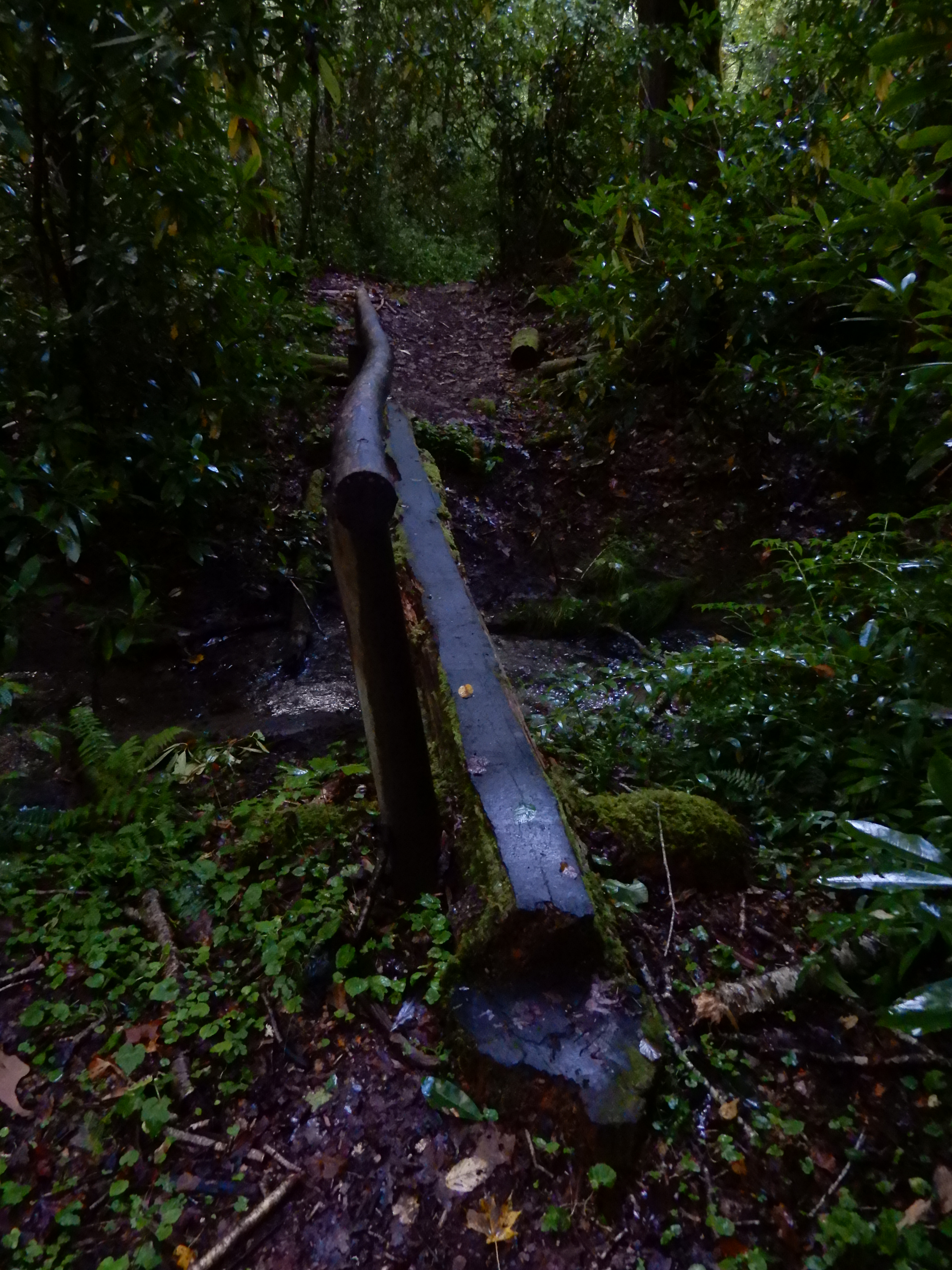
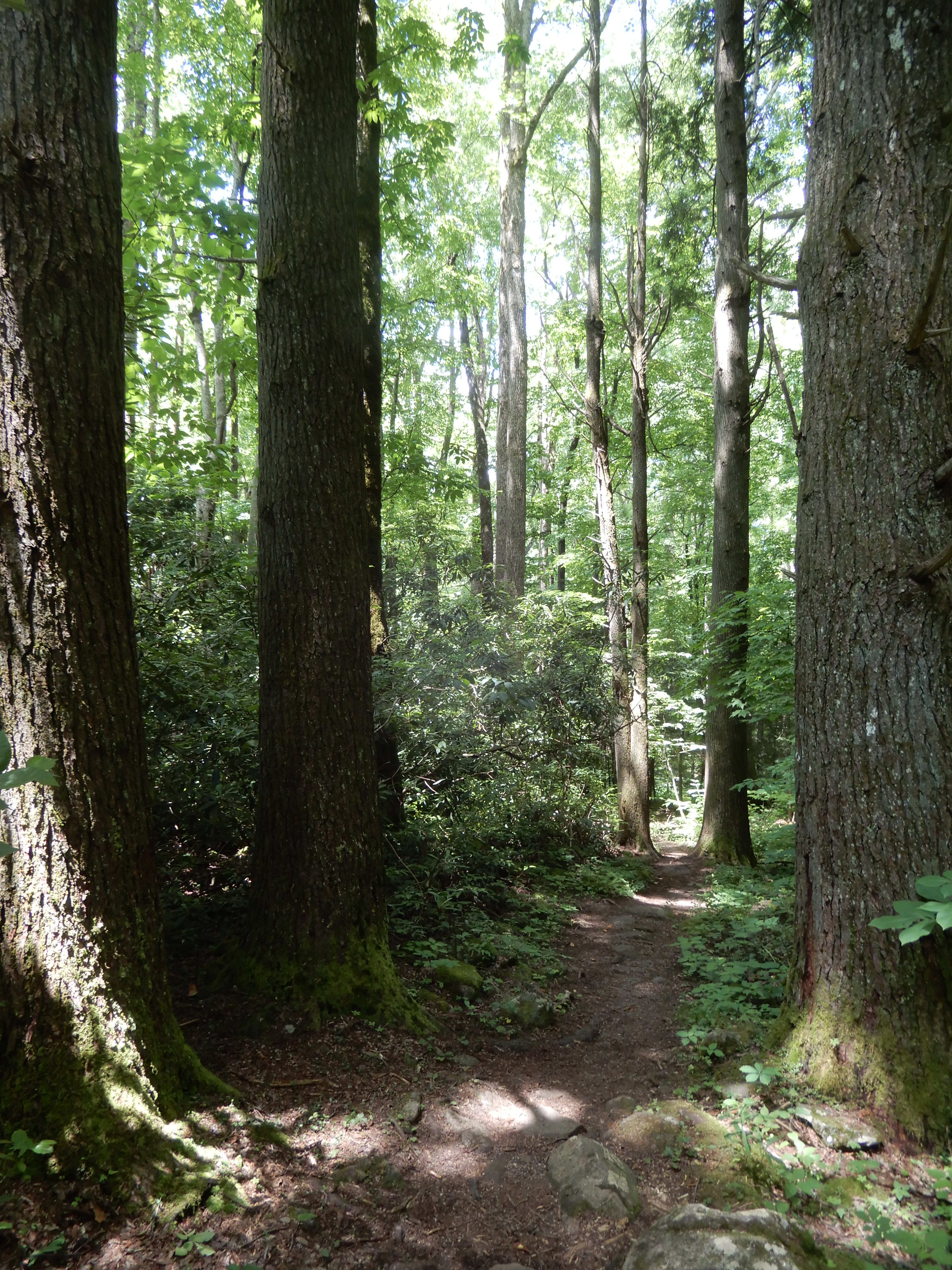
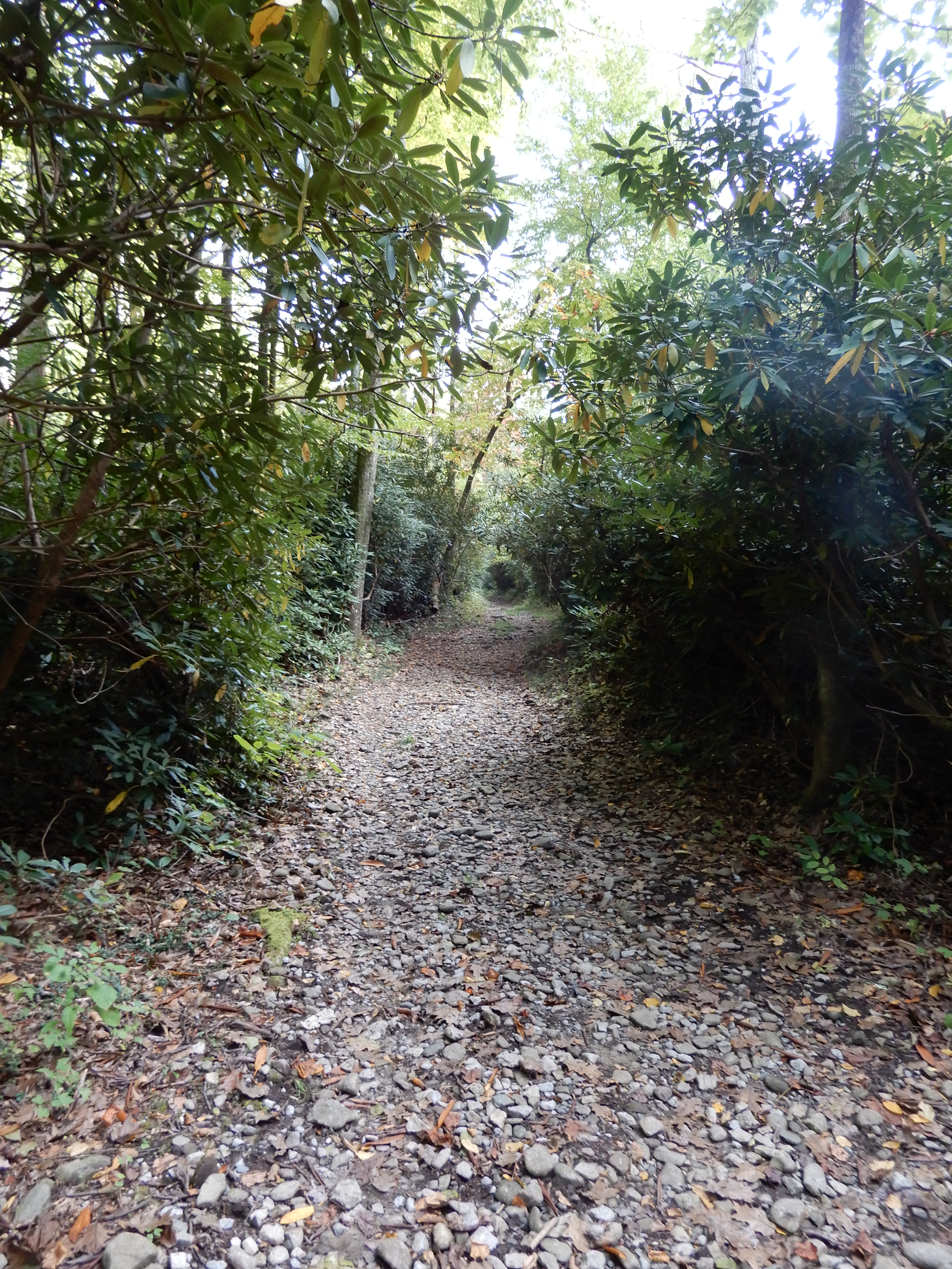
The trail continued up a mountain for a mile or so.
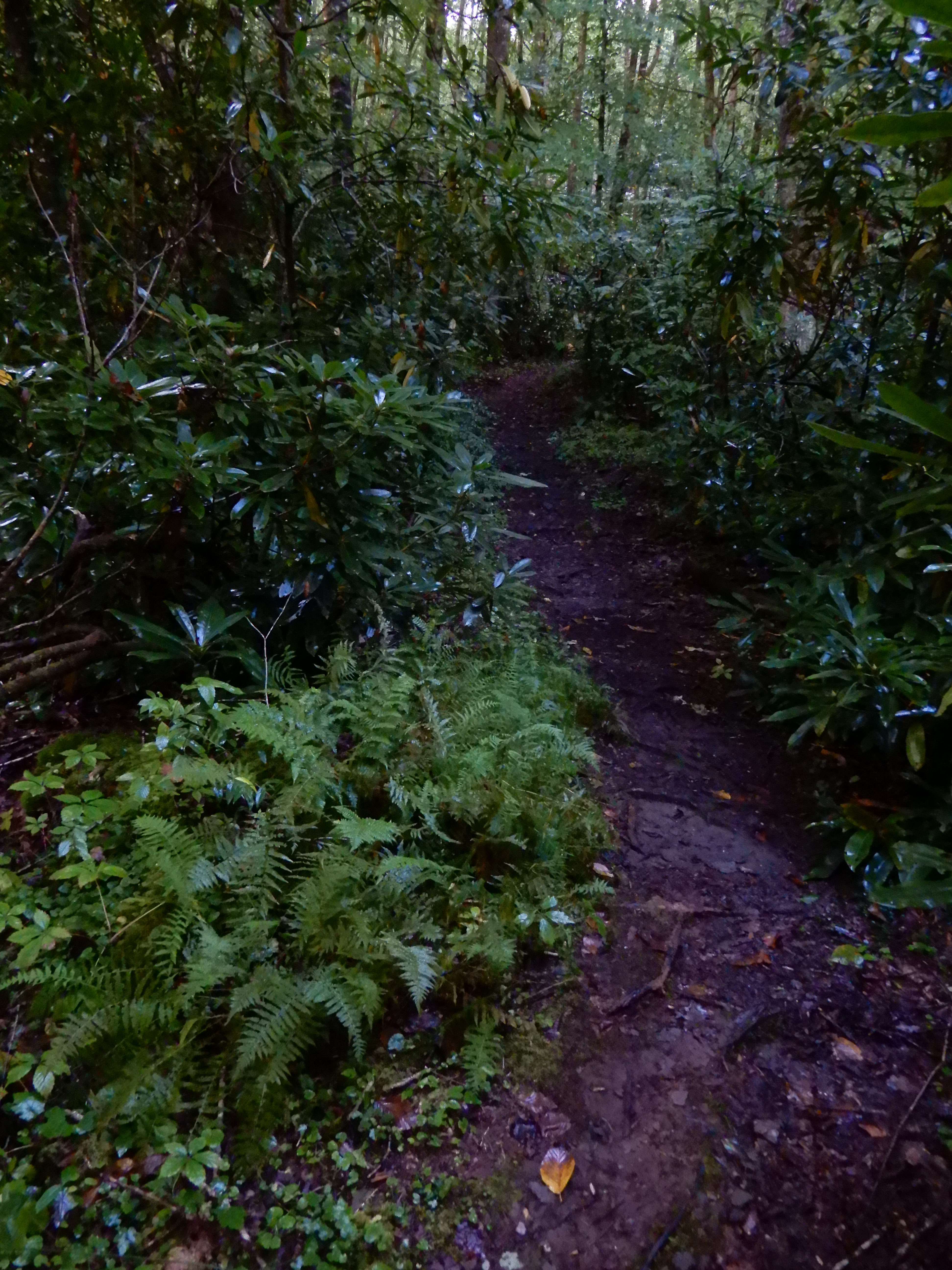
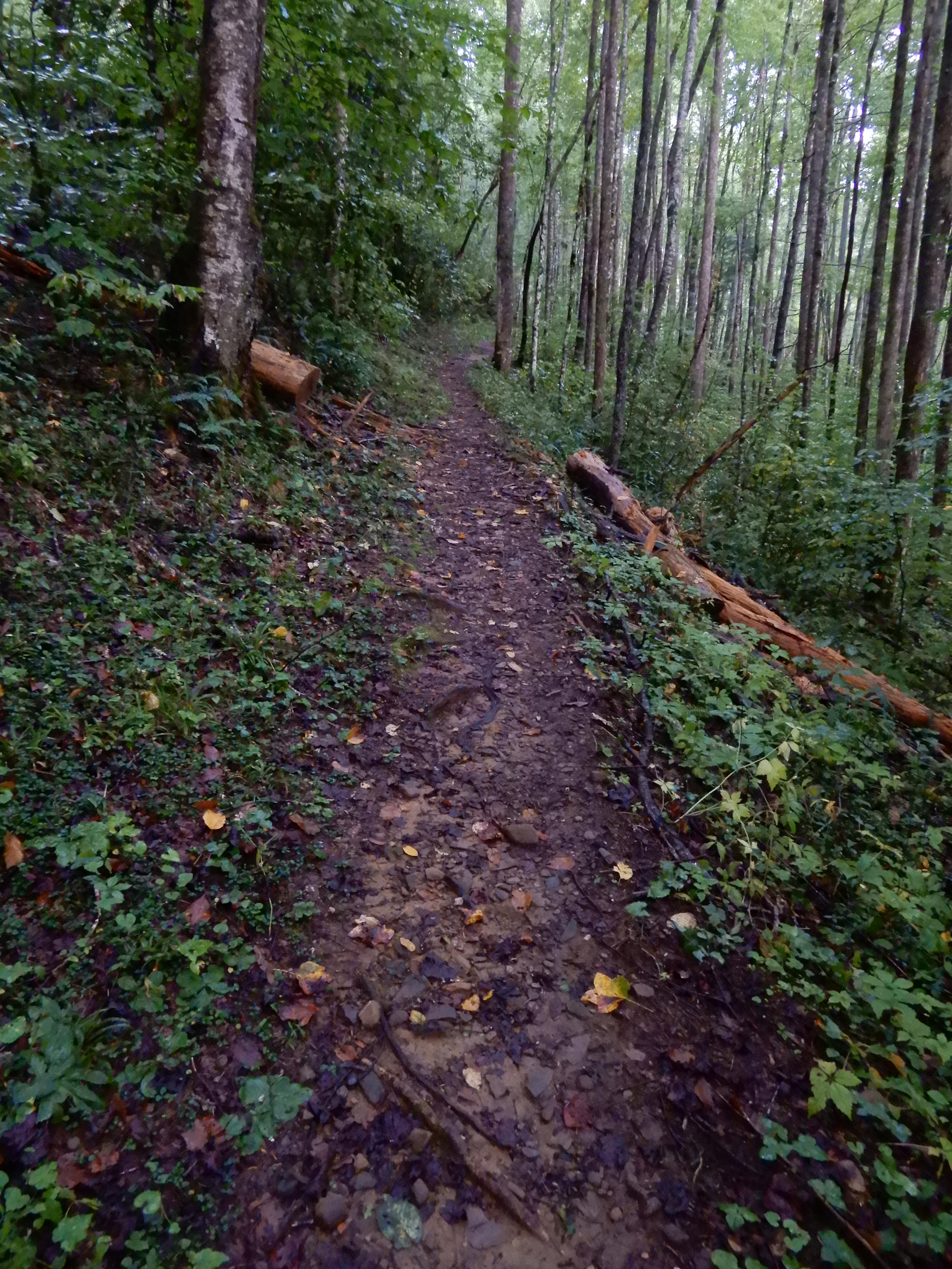
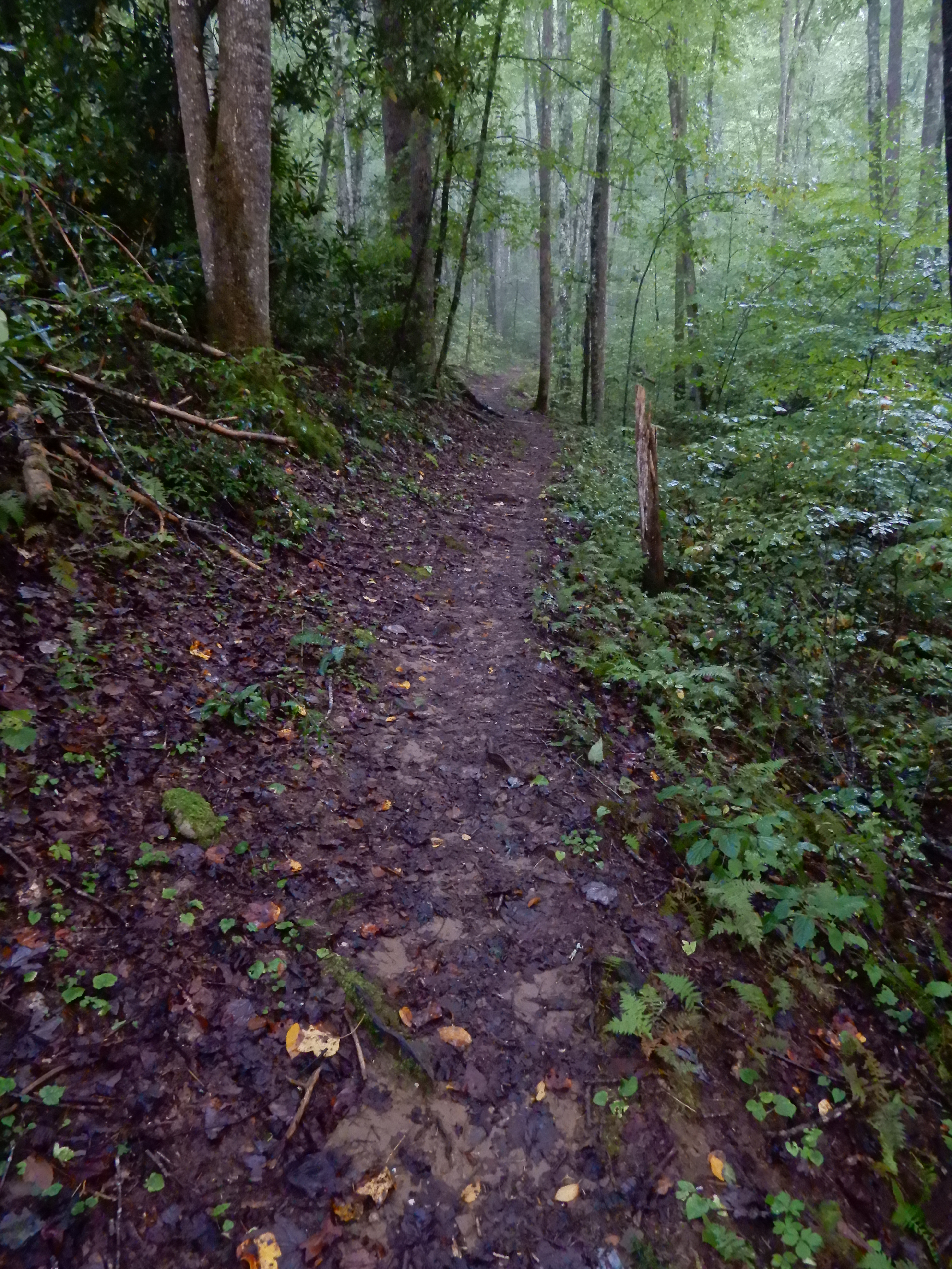
It was sloppy muddy and slick.
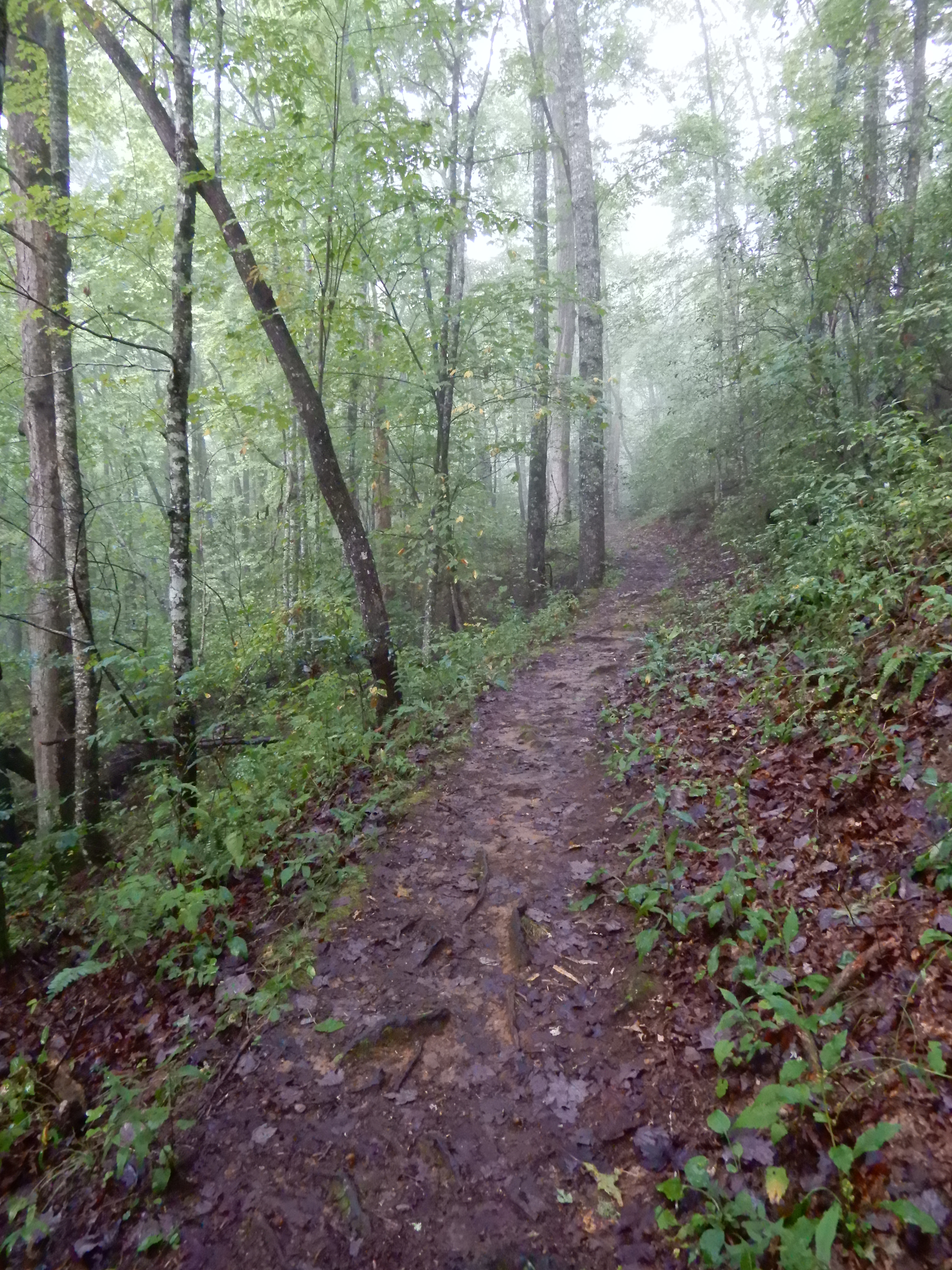
It was so rough going I gave up on it and turned back.
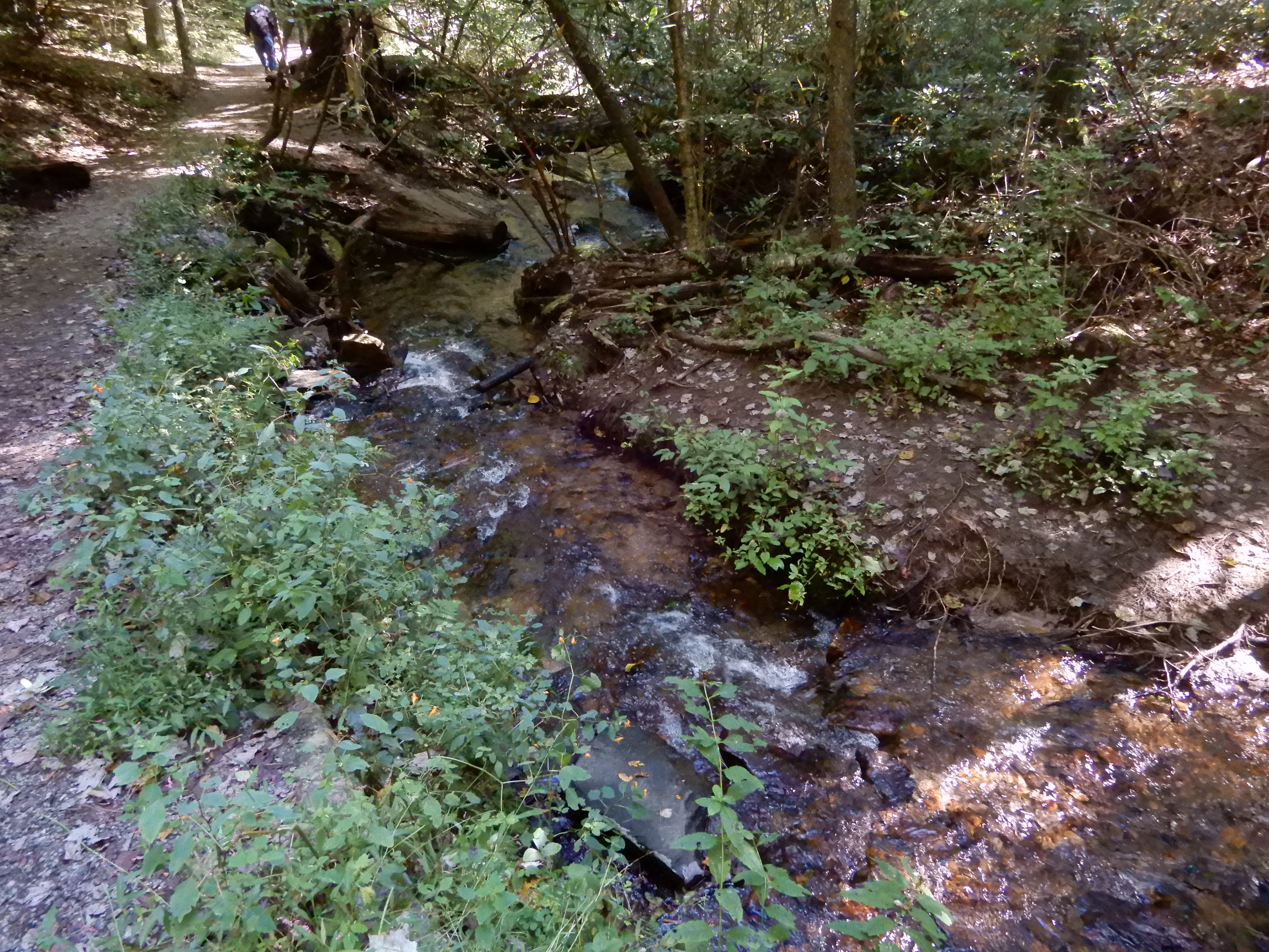
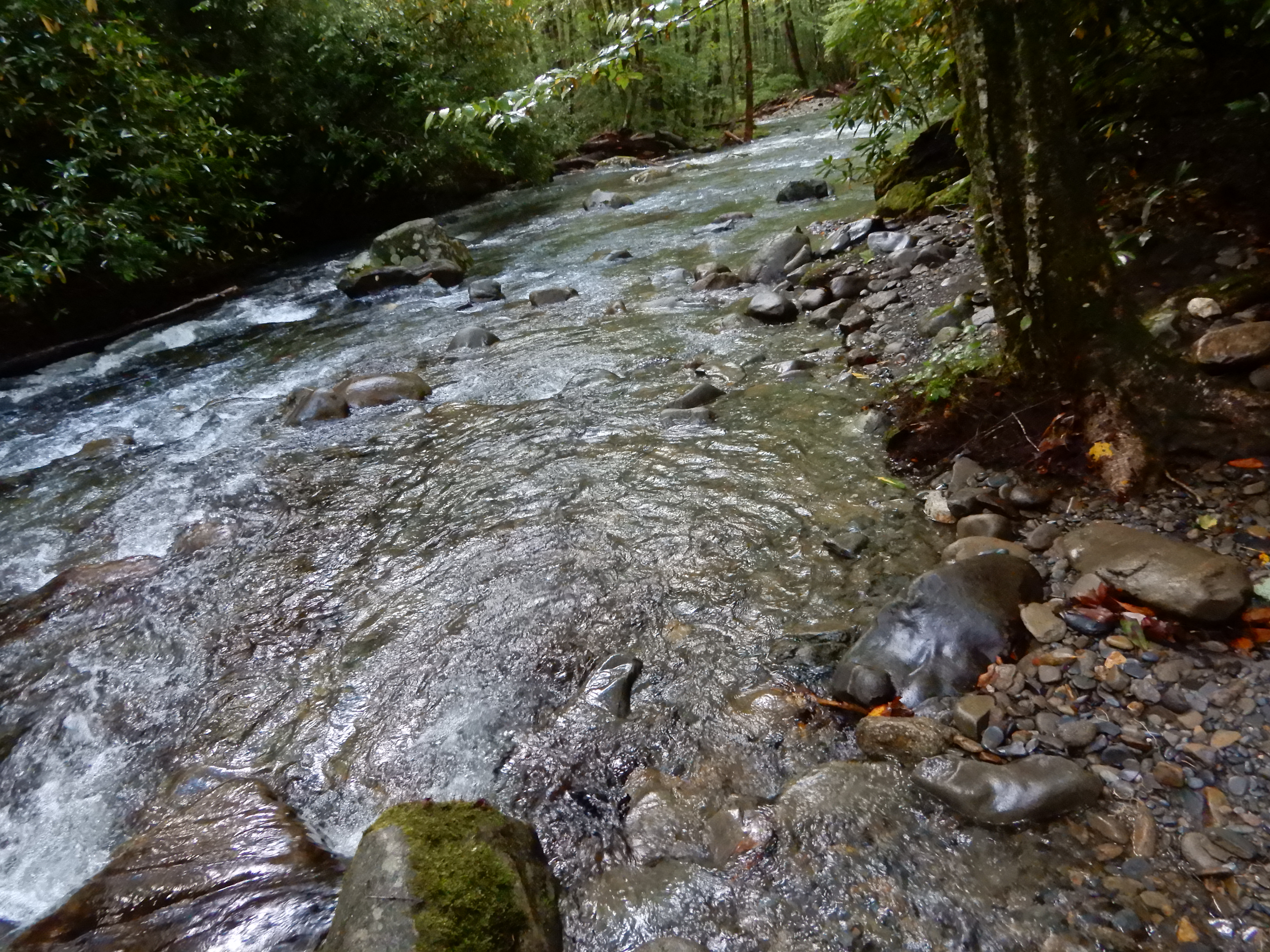
I made it back down to the river.

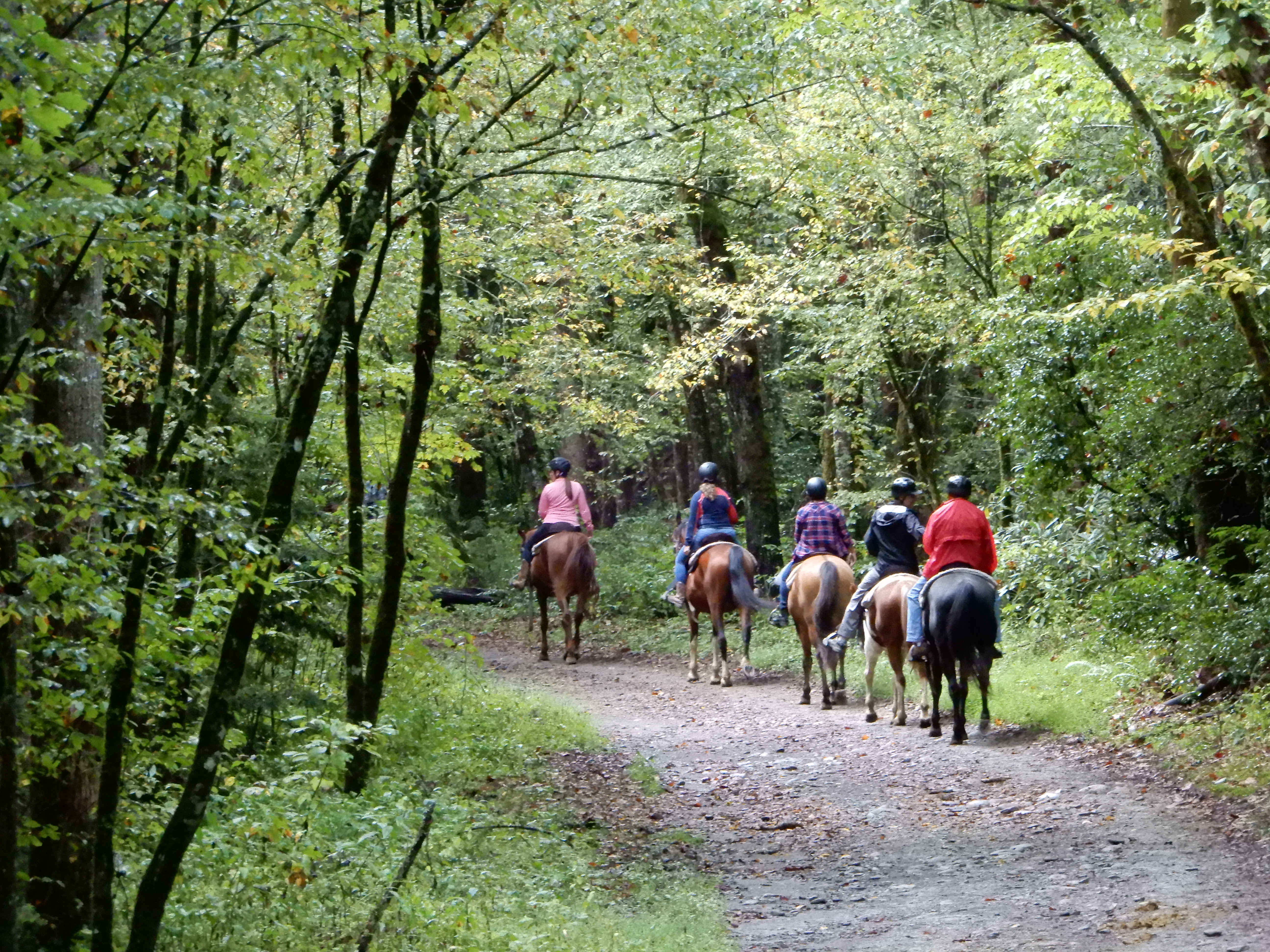
Which meant I had to cross that log bridge again. I did, without mishap. Then it was back toward the campground on the horse trail. On the way, some horses passed me.
I figure I did 5-5.5 miles by the time I got back to the site and crashed. After lunch we drove into Cherokee and walked around, then drove into the Smokies nearly all the way to Newfound Gap.
We were out late enough to get some good dusky shots.
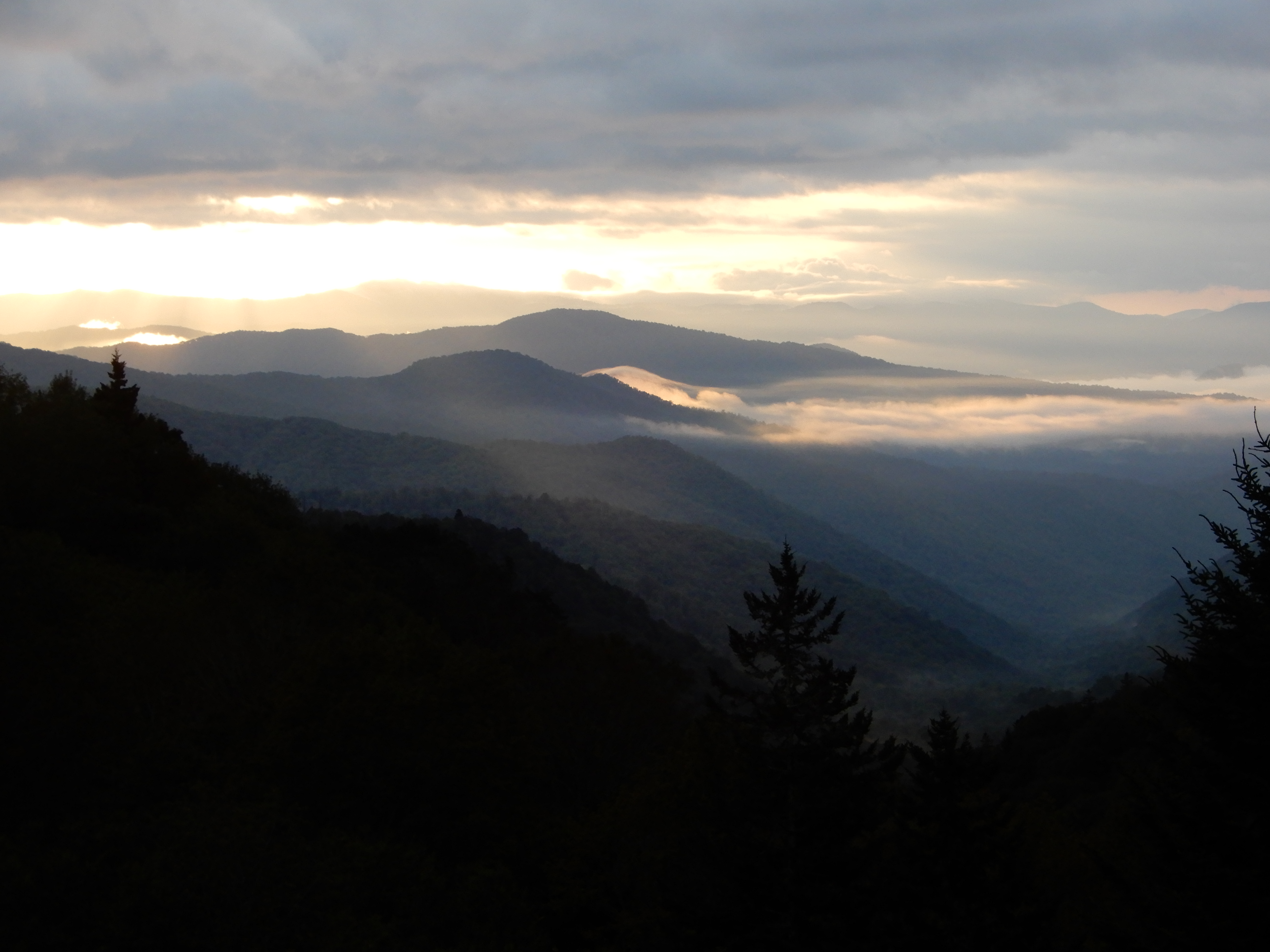
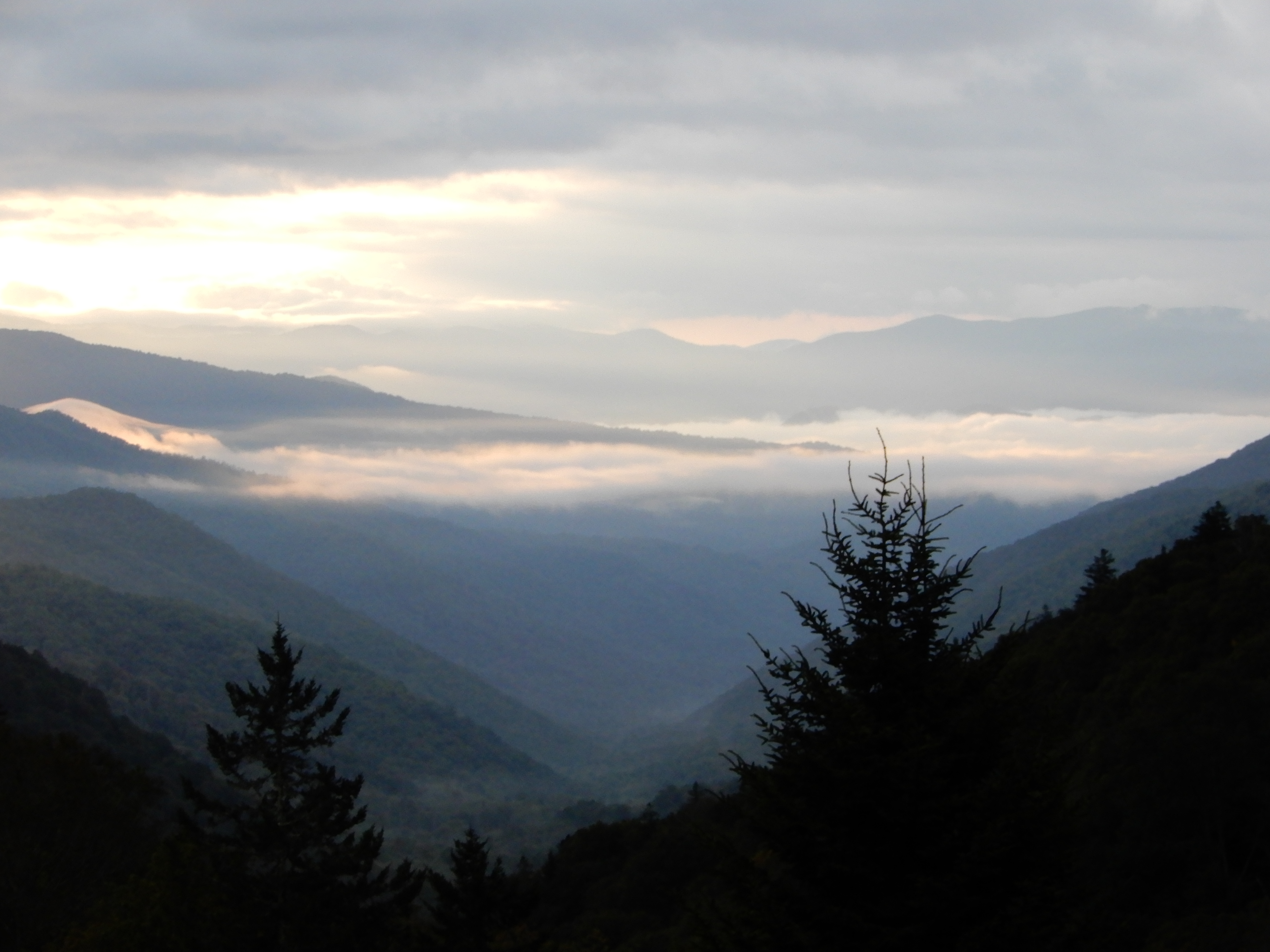
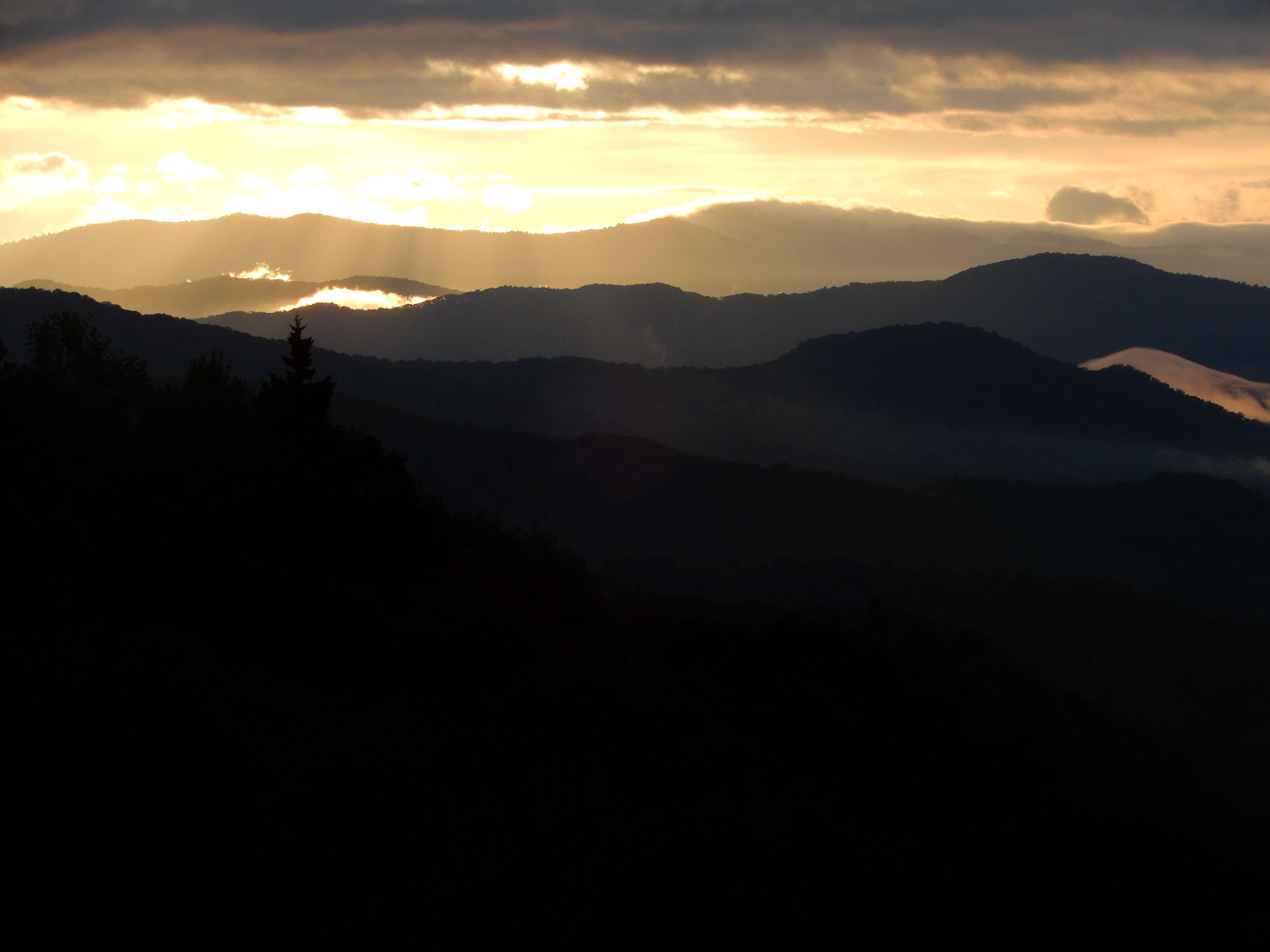
Then it was back to the campground for the night.
American Locations 19: Smoky Mountains National Park, Smokemont Campground 2, North Carolina
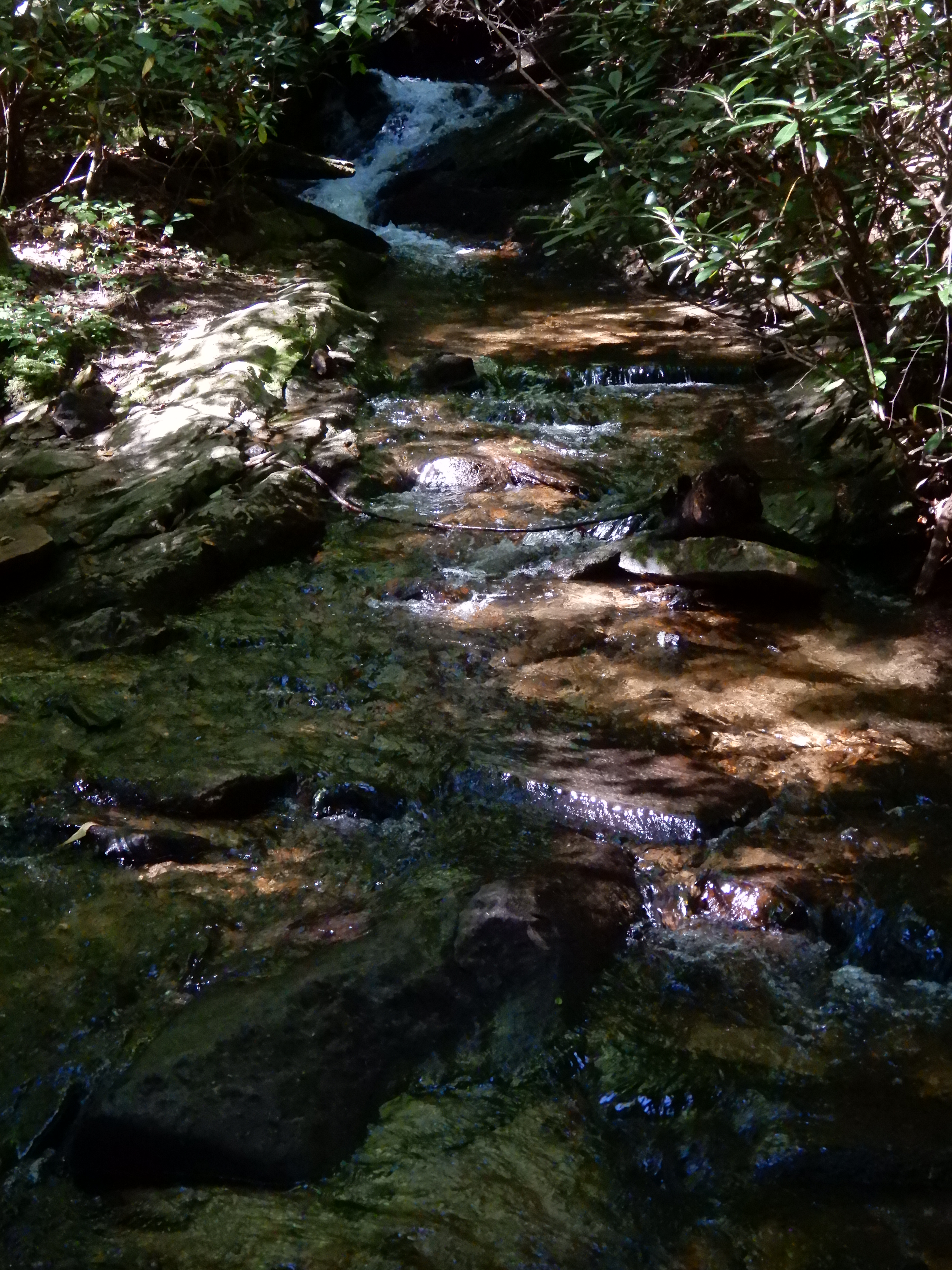
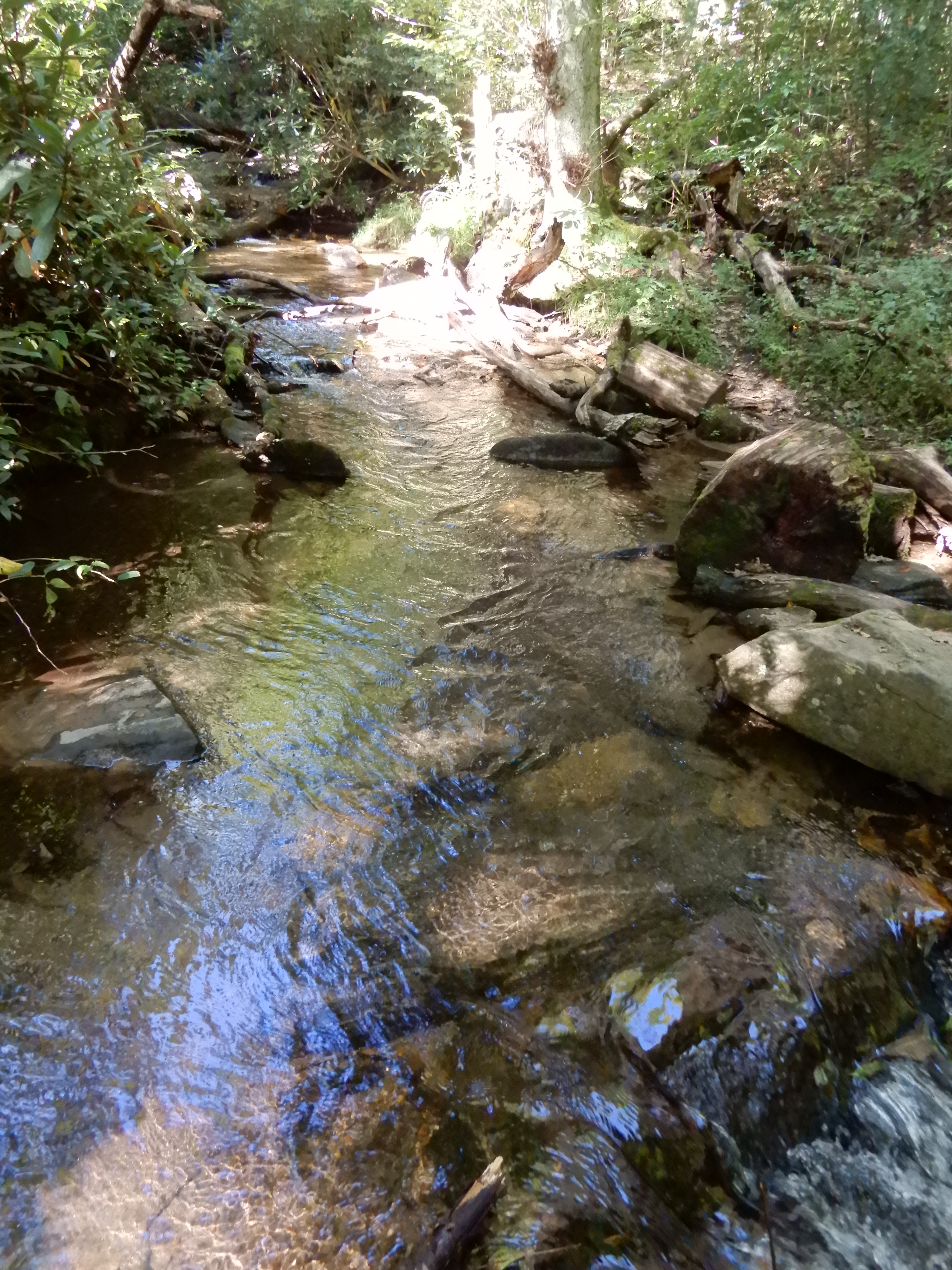
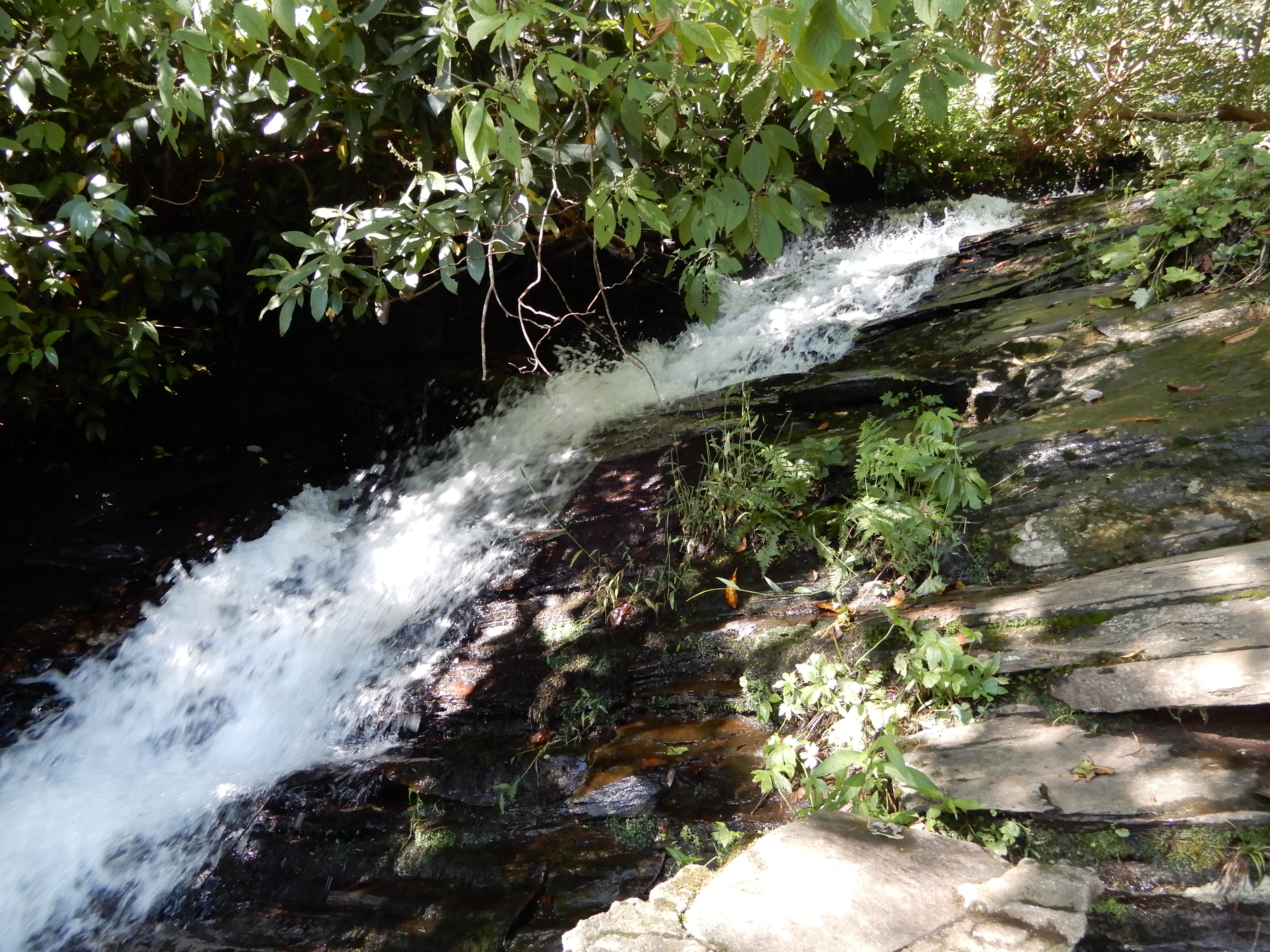
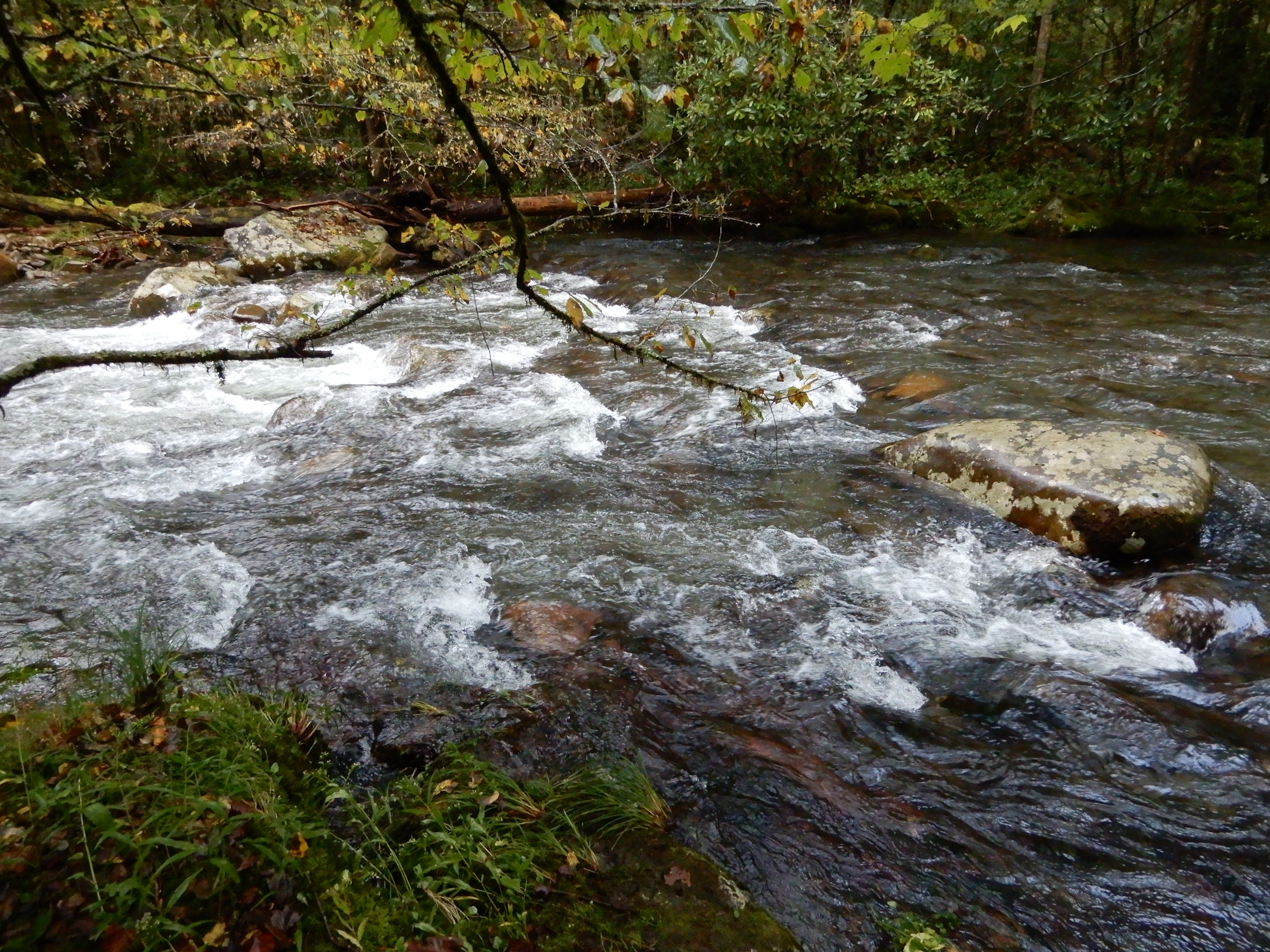
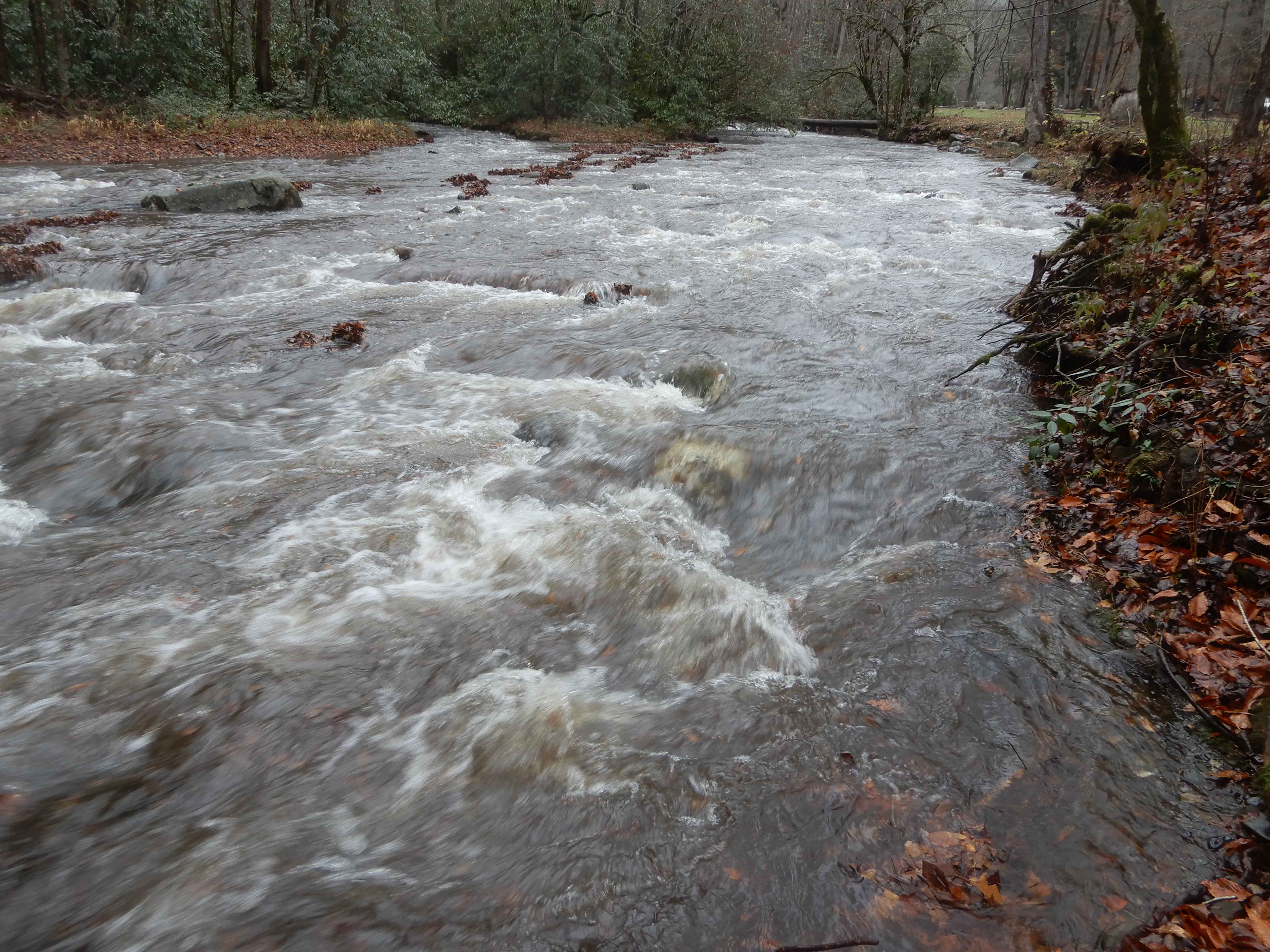
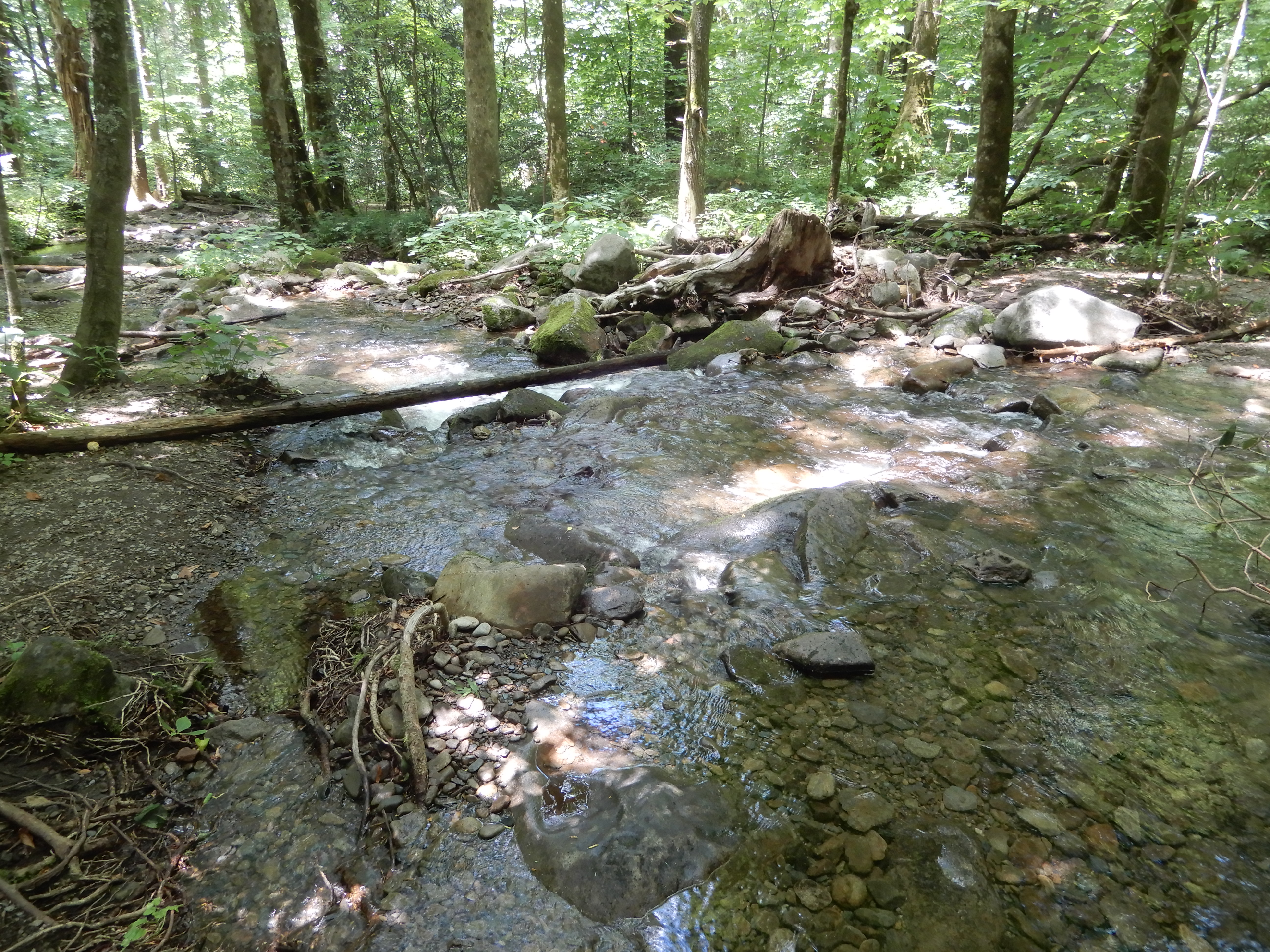
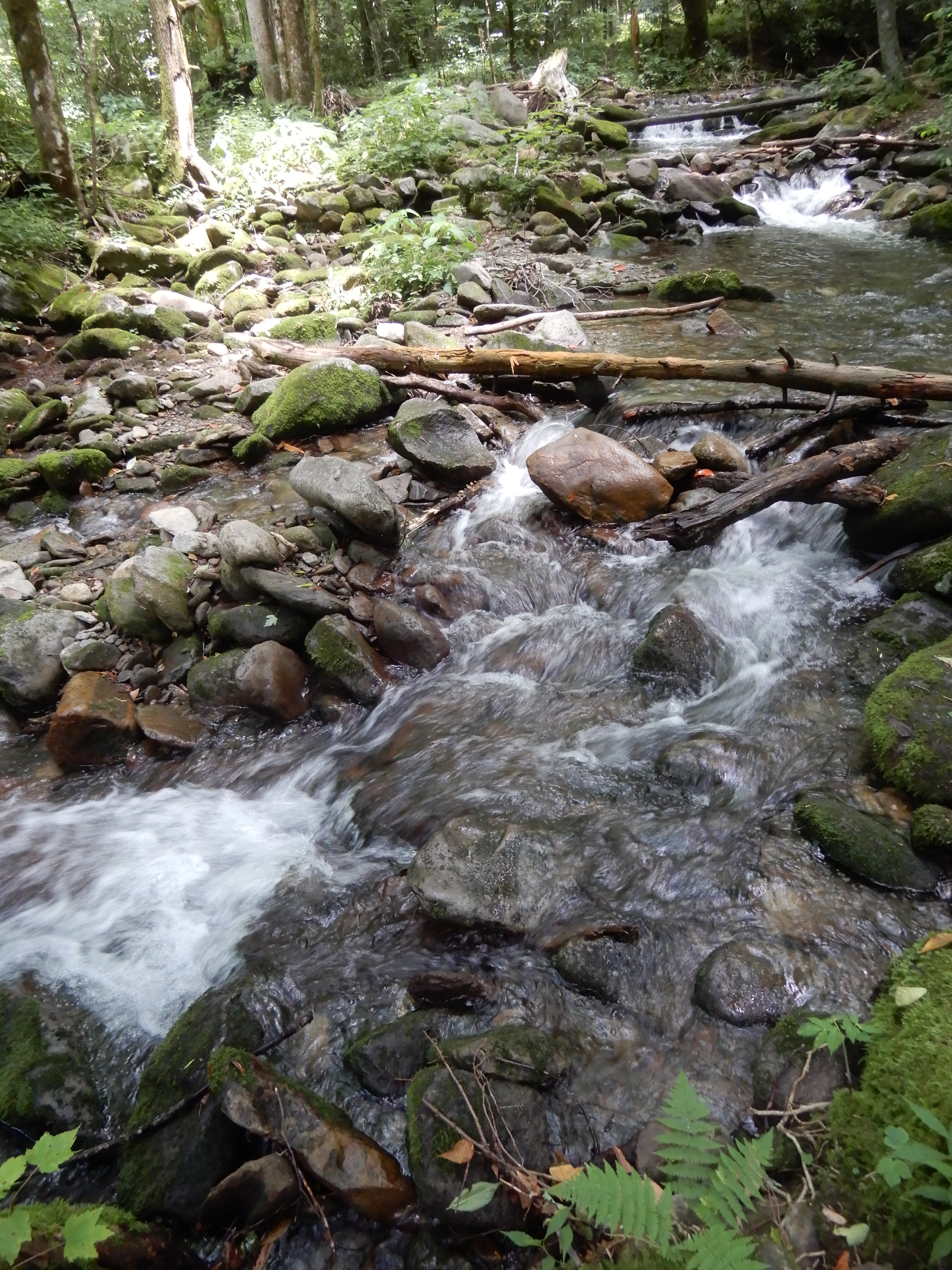
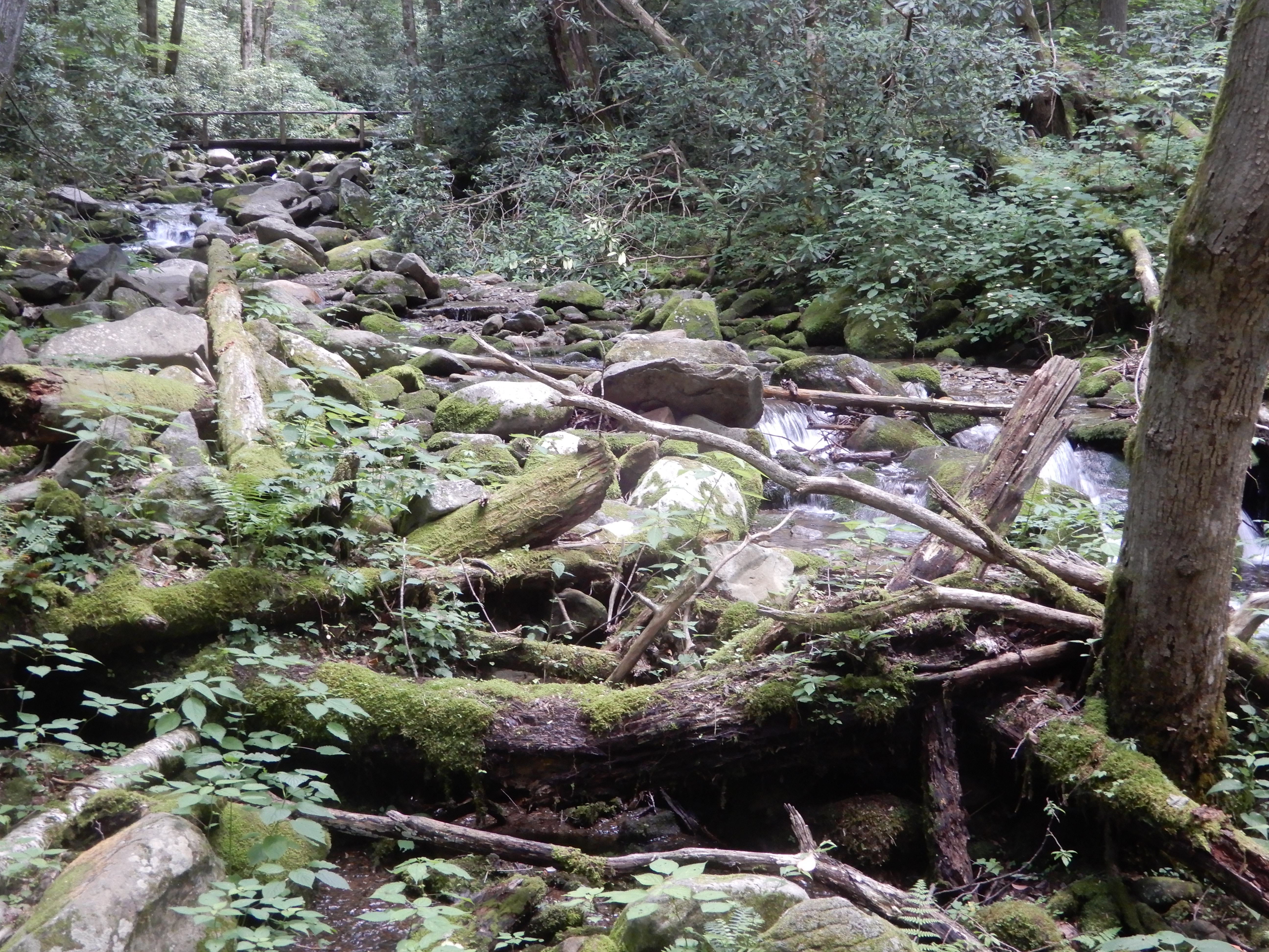
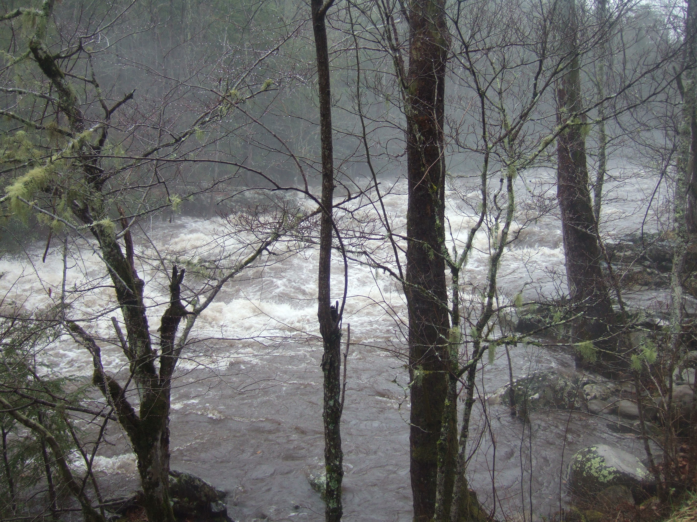
Our second day camping at Smokemont was just as rainy and dreary as the day before. But I was determined not to sit in the motor home all day. So I went on another hike, this one much shorter than the one I attempted the day before. Even more than before, the river was raging.
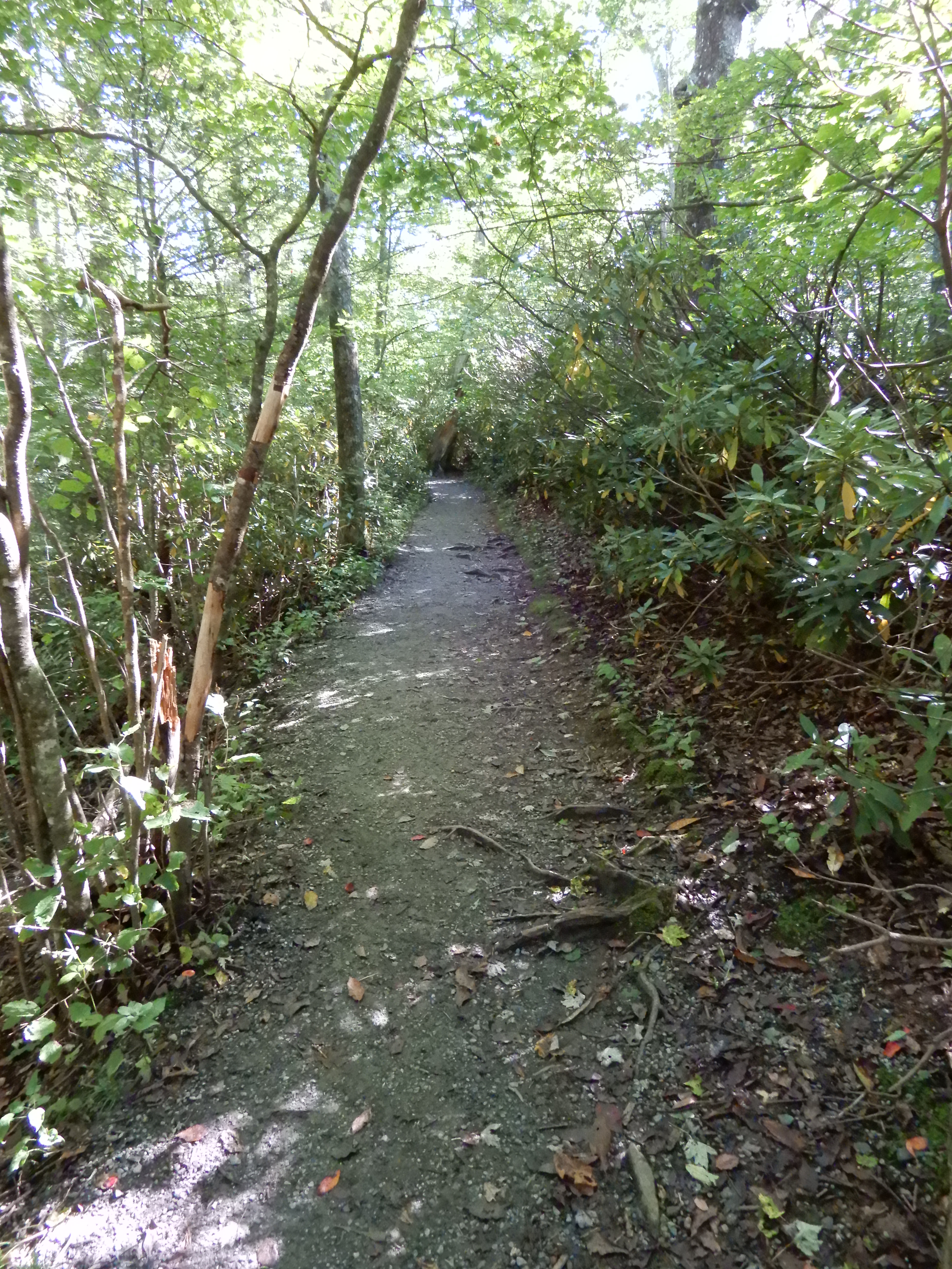
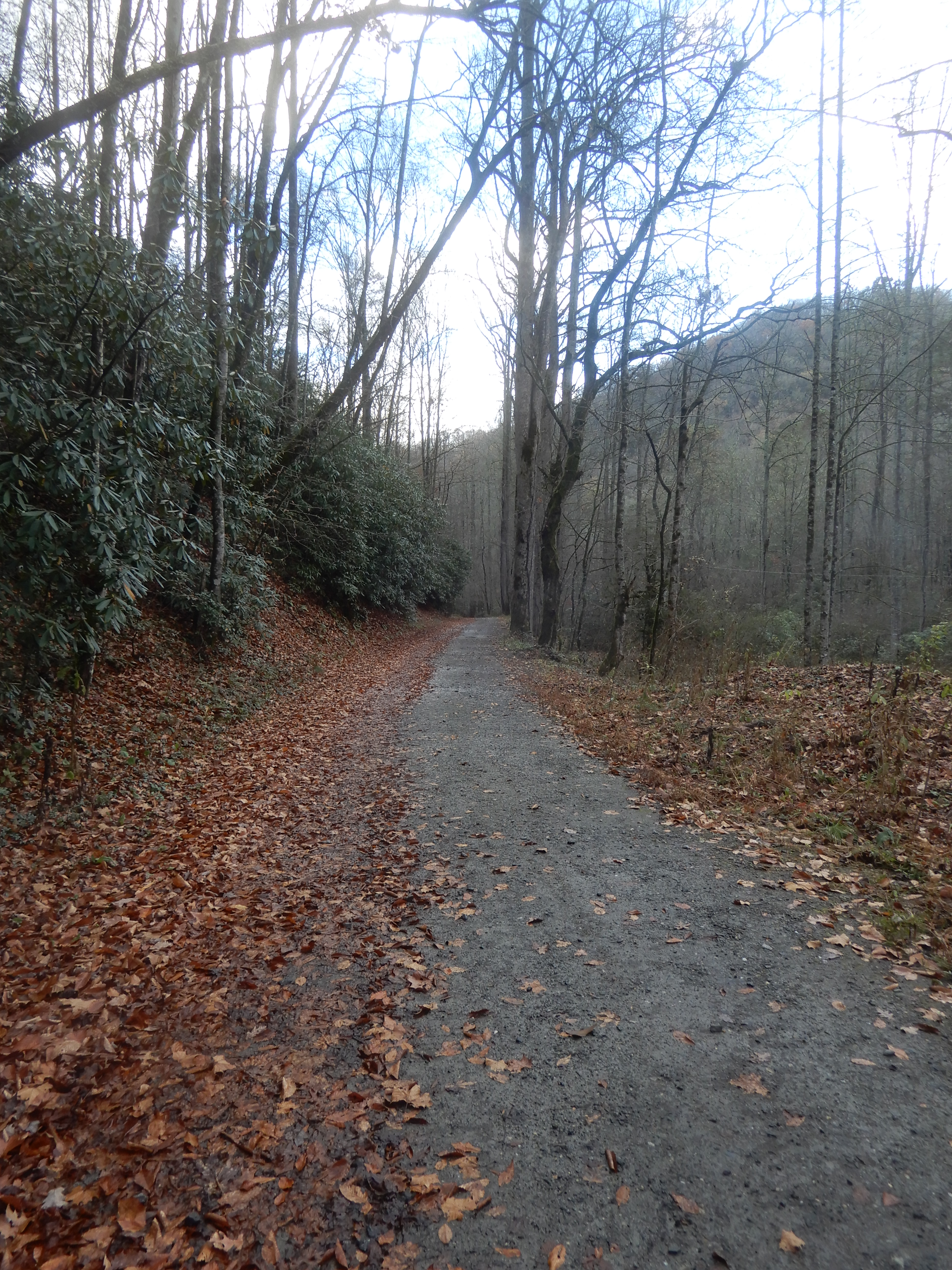
I followed another horse trail.
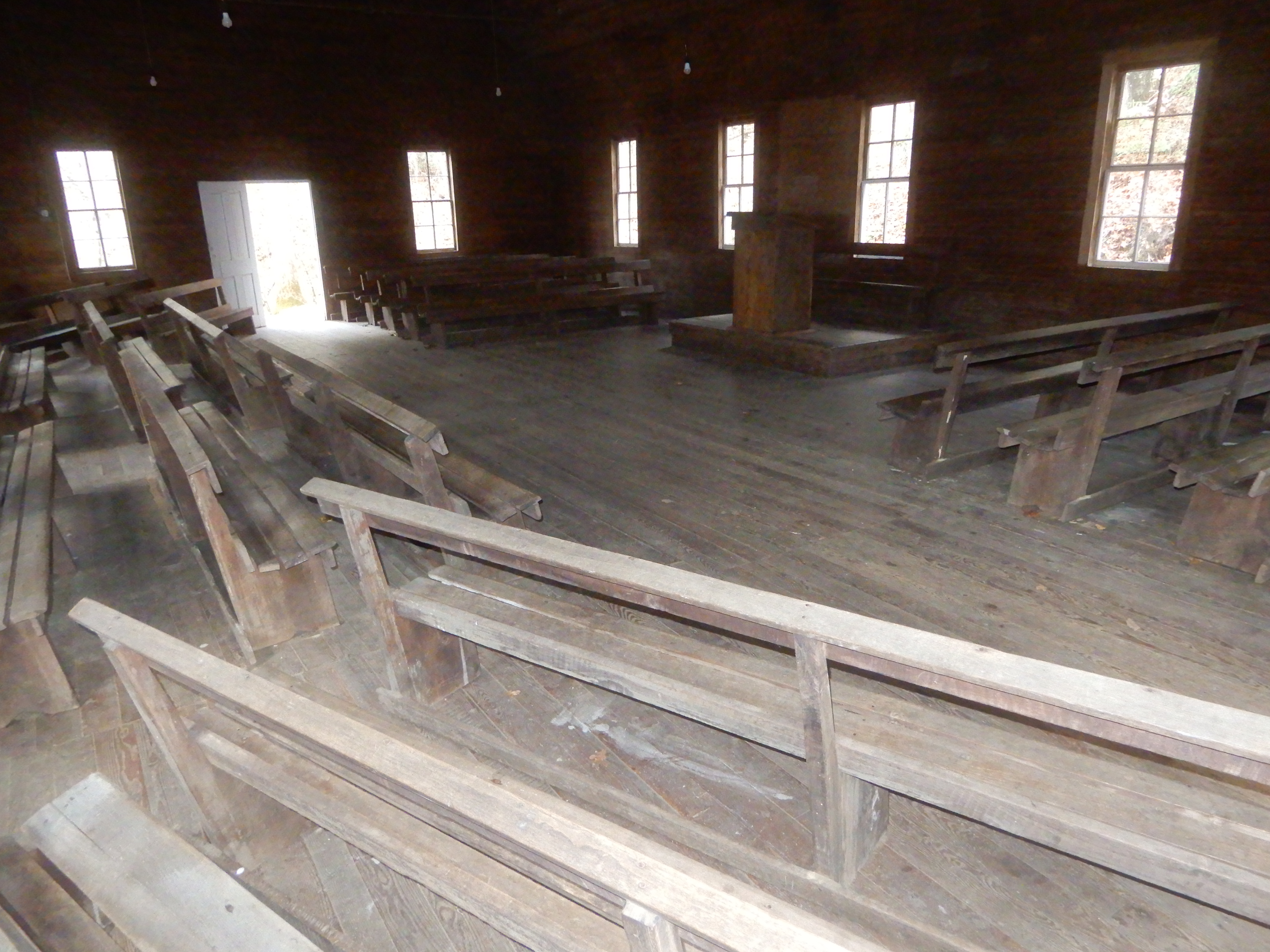
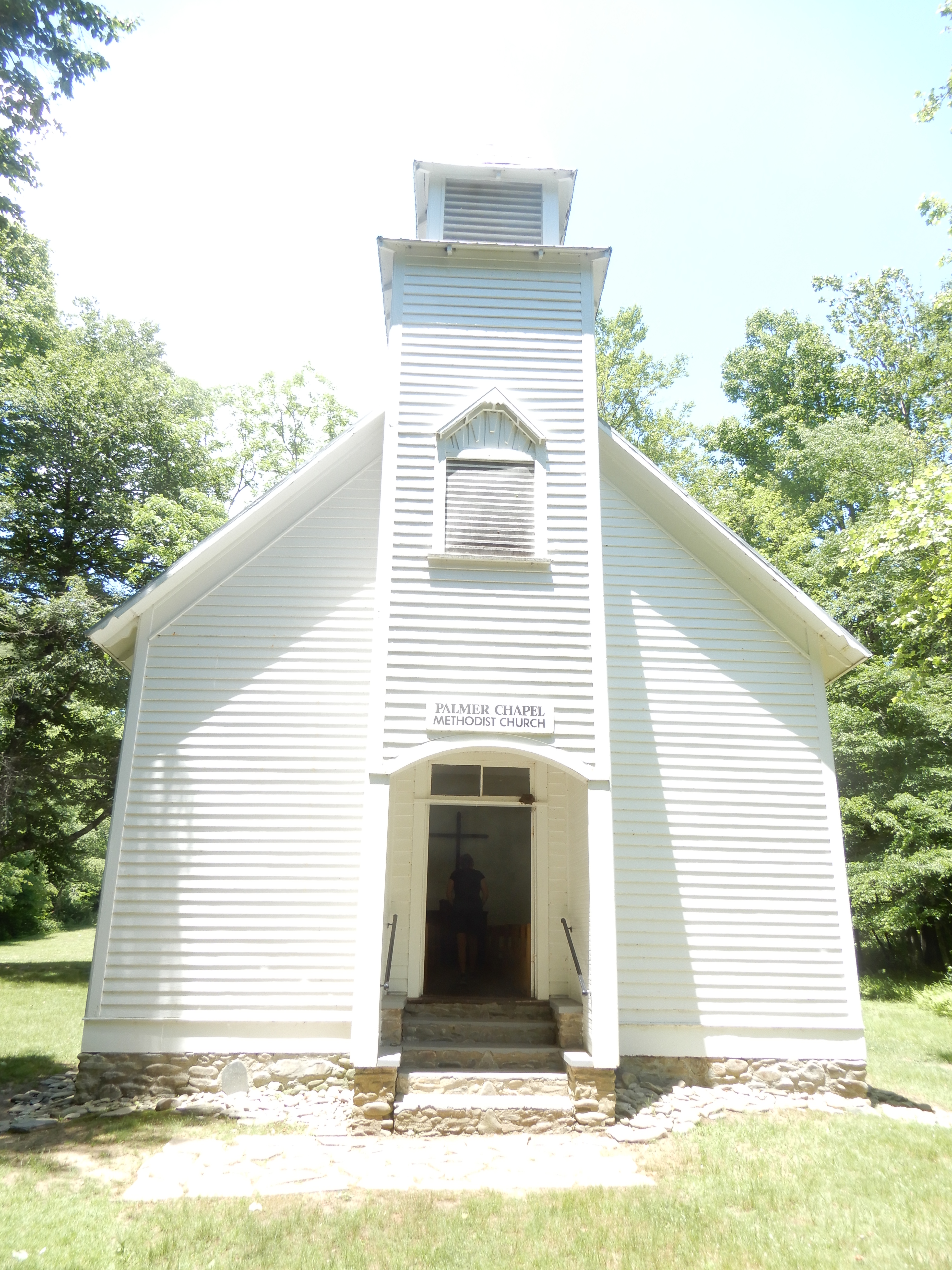
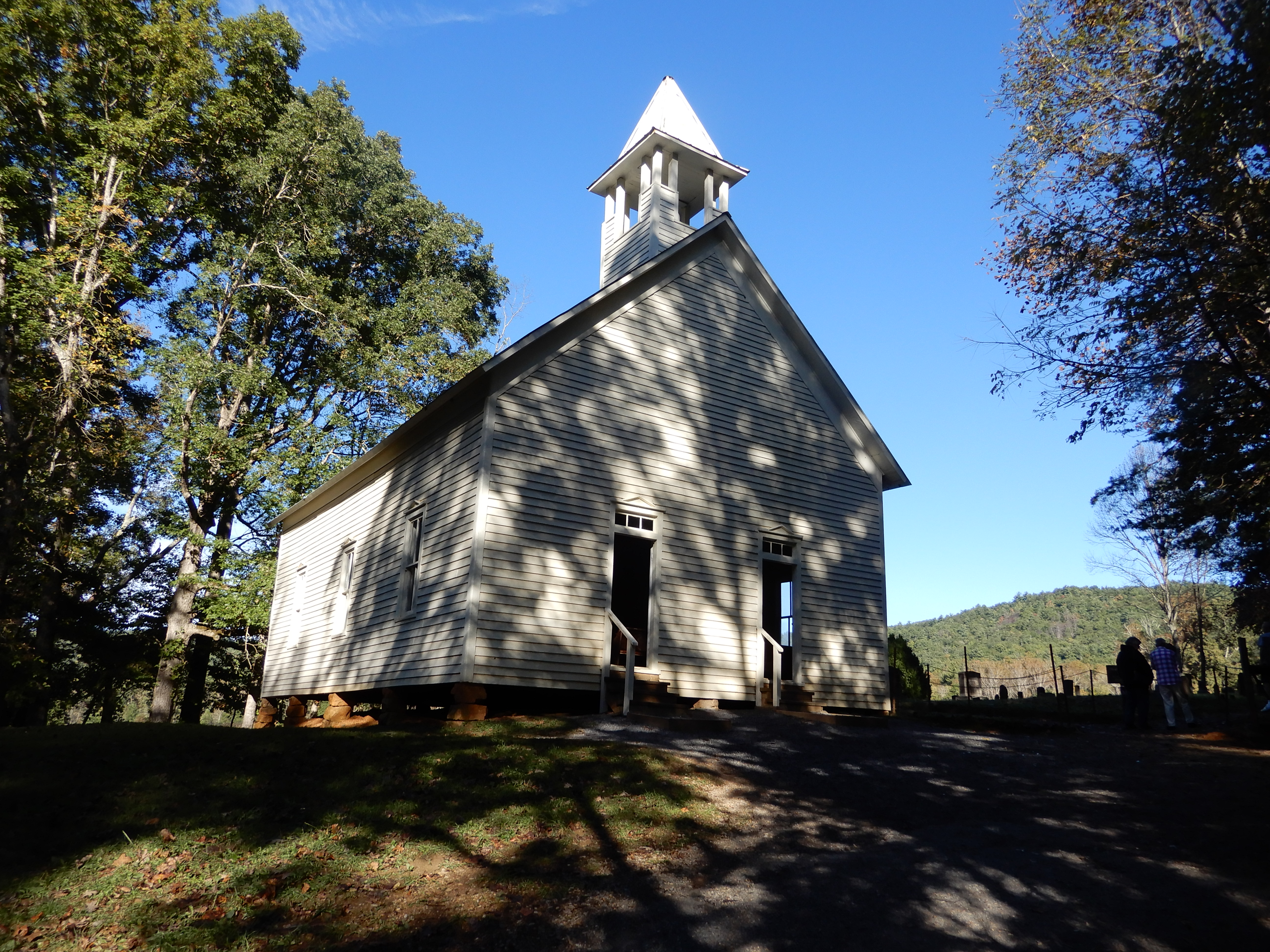
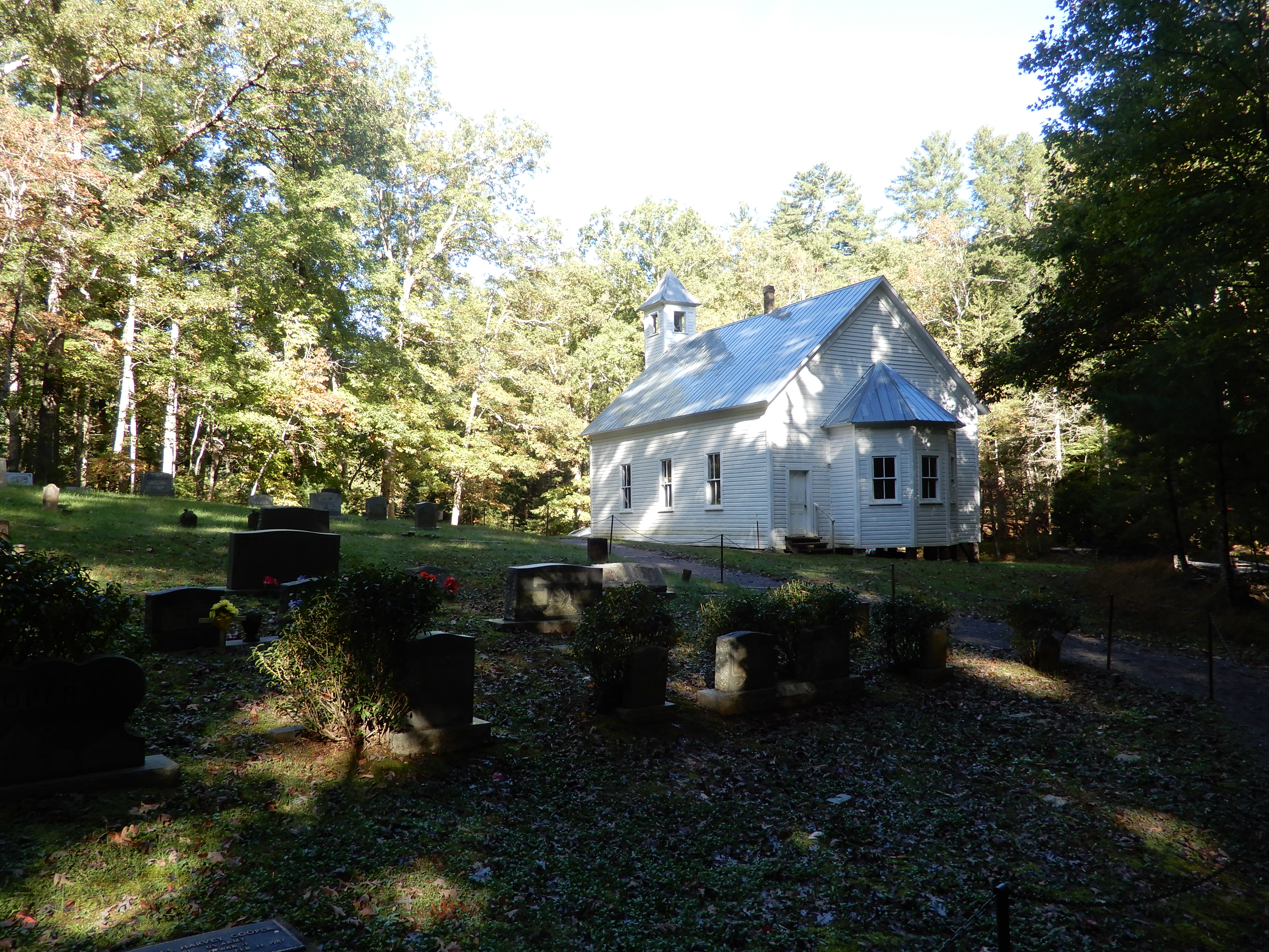
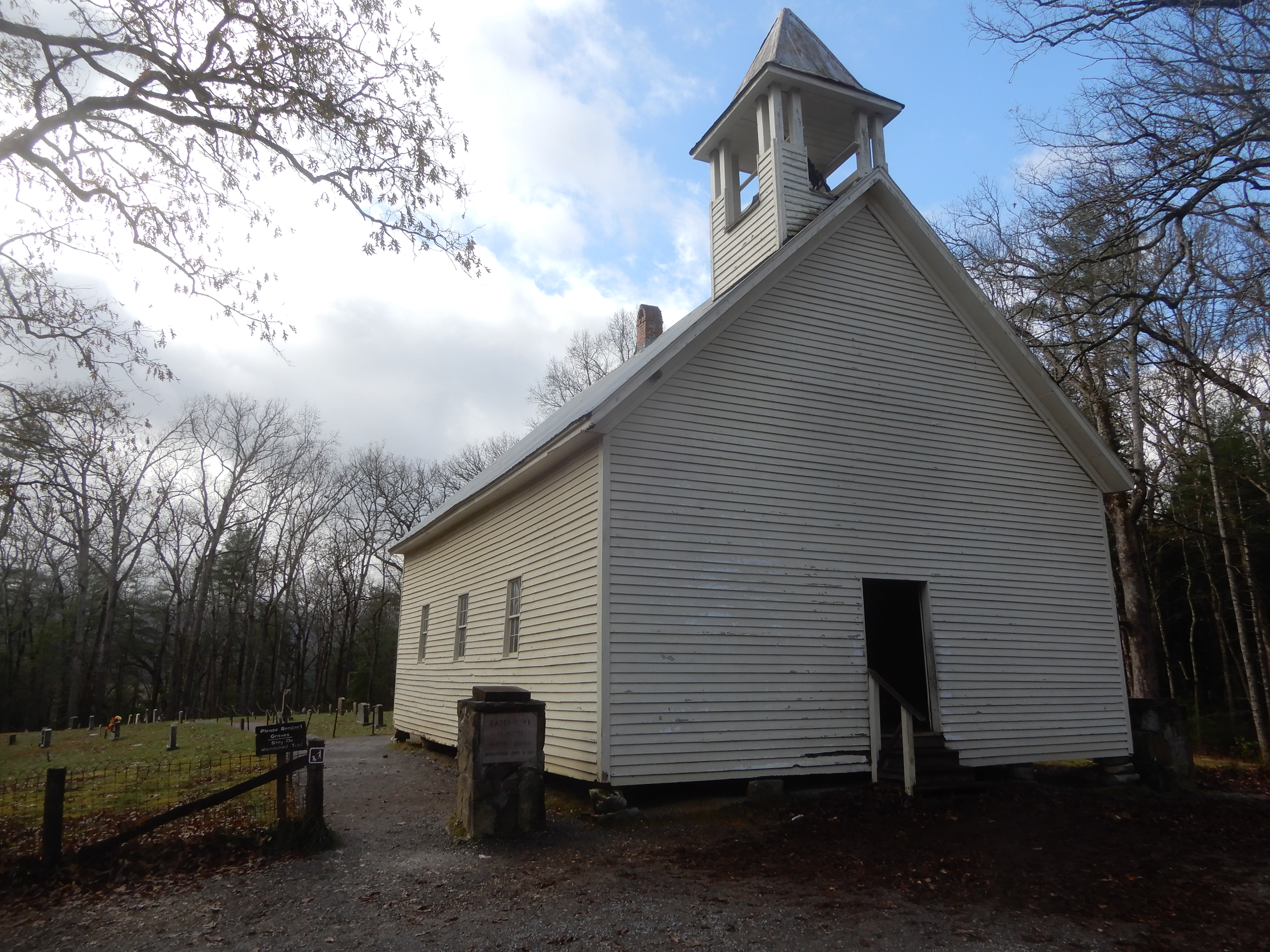
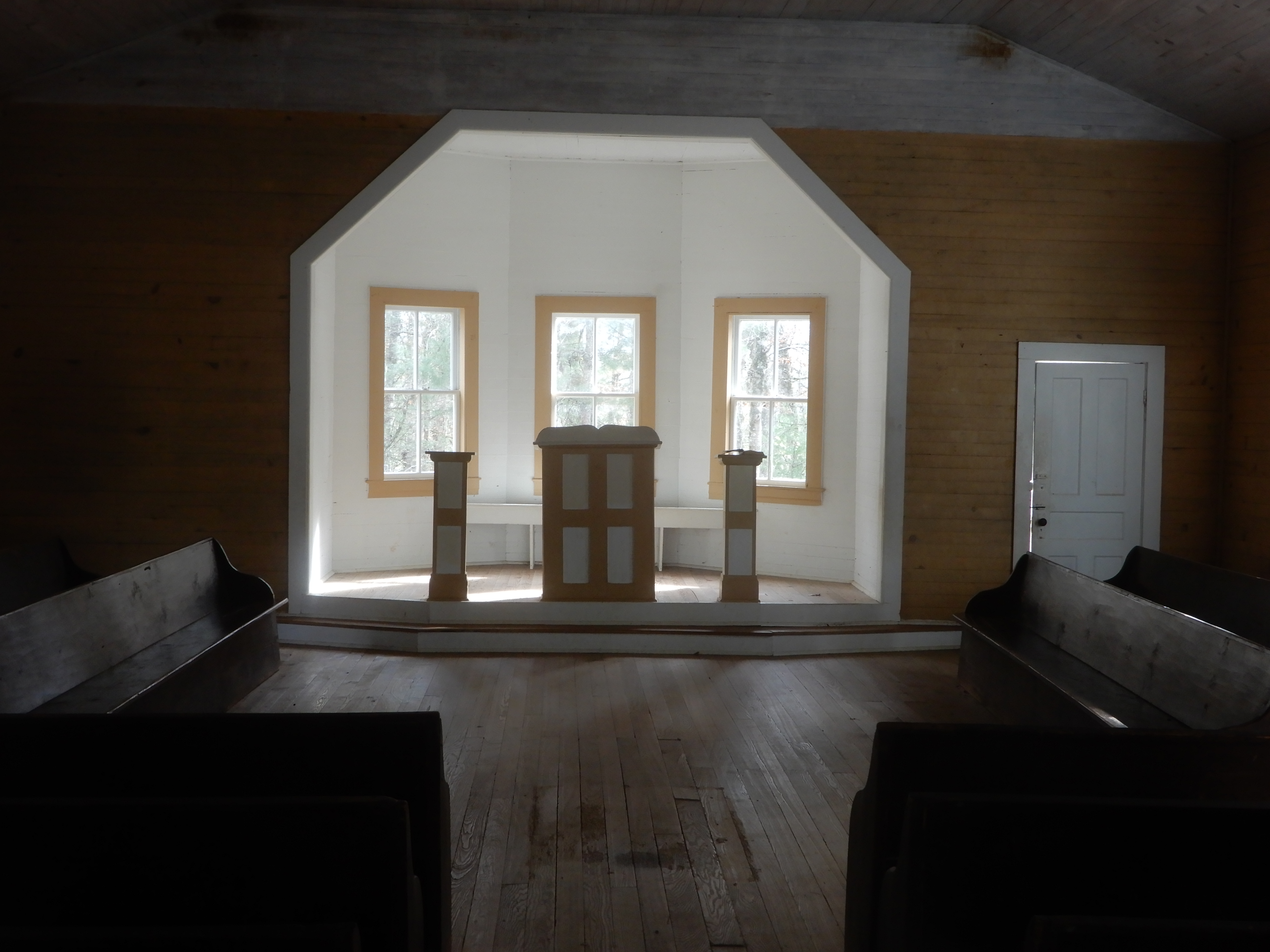
It led to an old church.
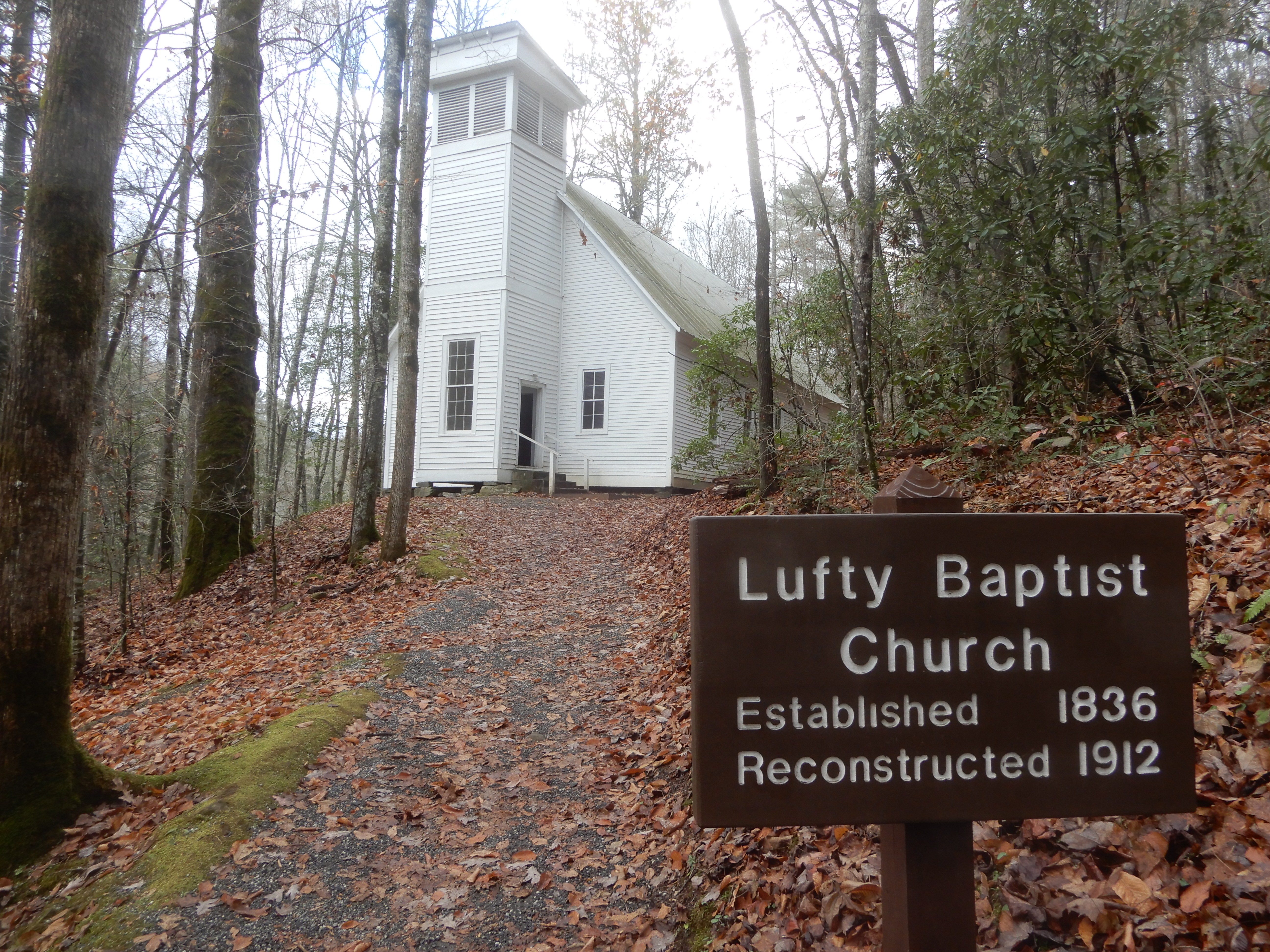
That was open for inspection.
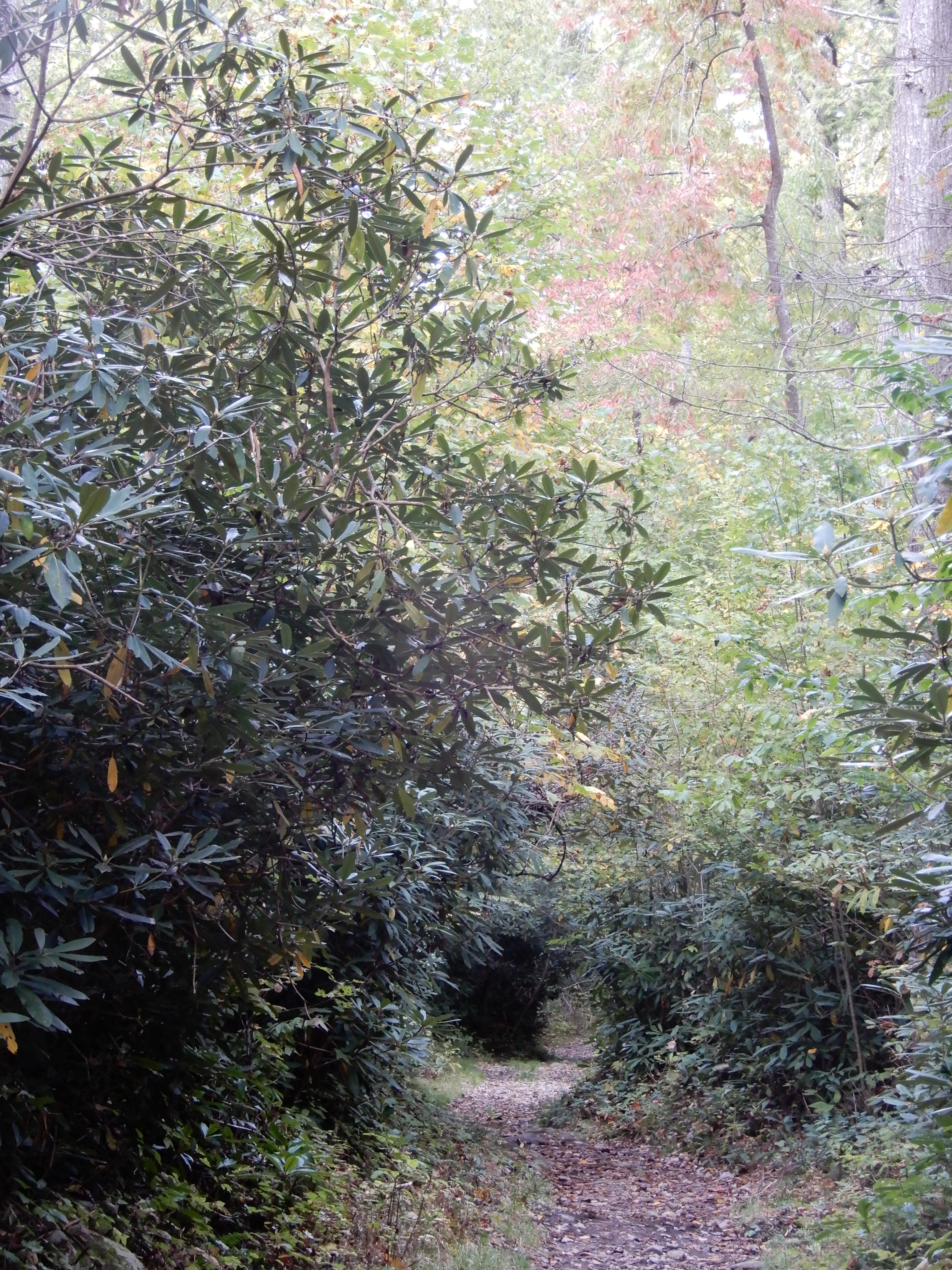
Then it was on down the horse trail.
Which led to a muddy hiking trail.
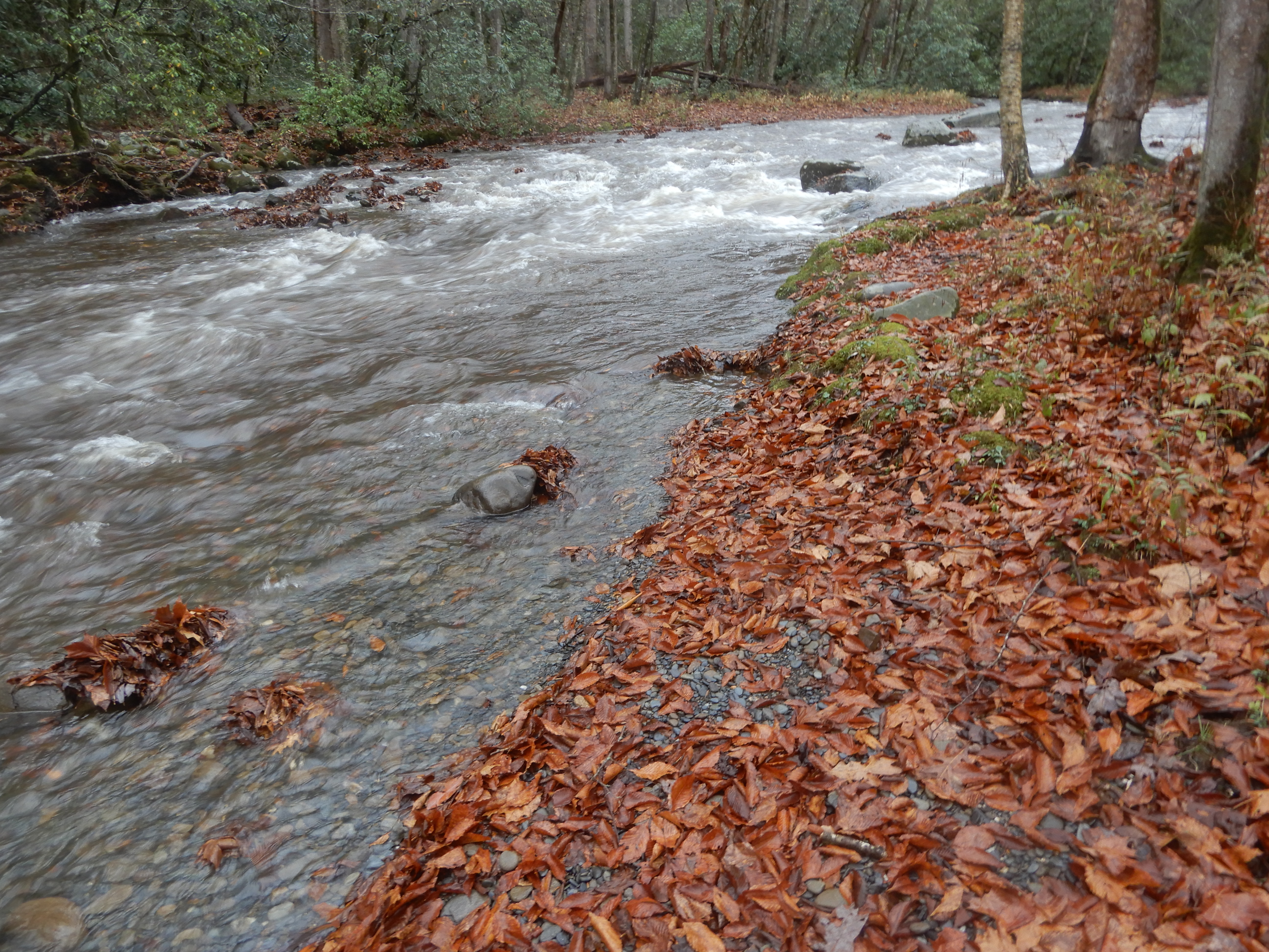
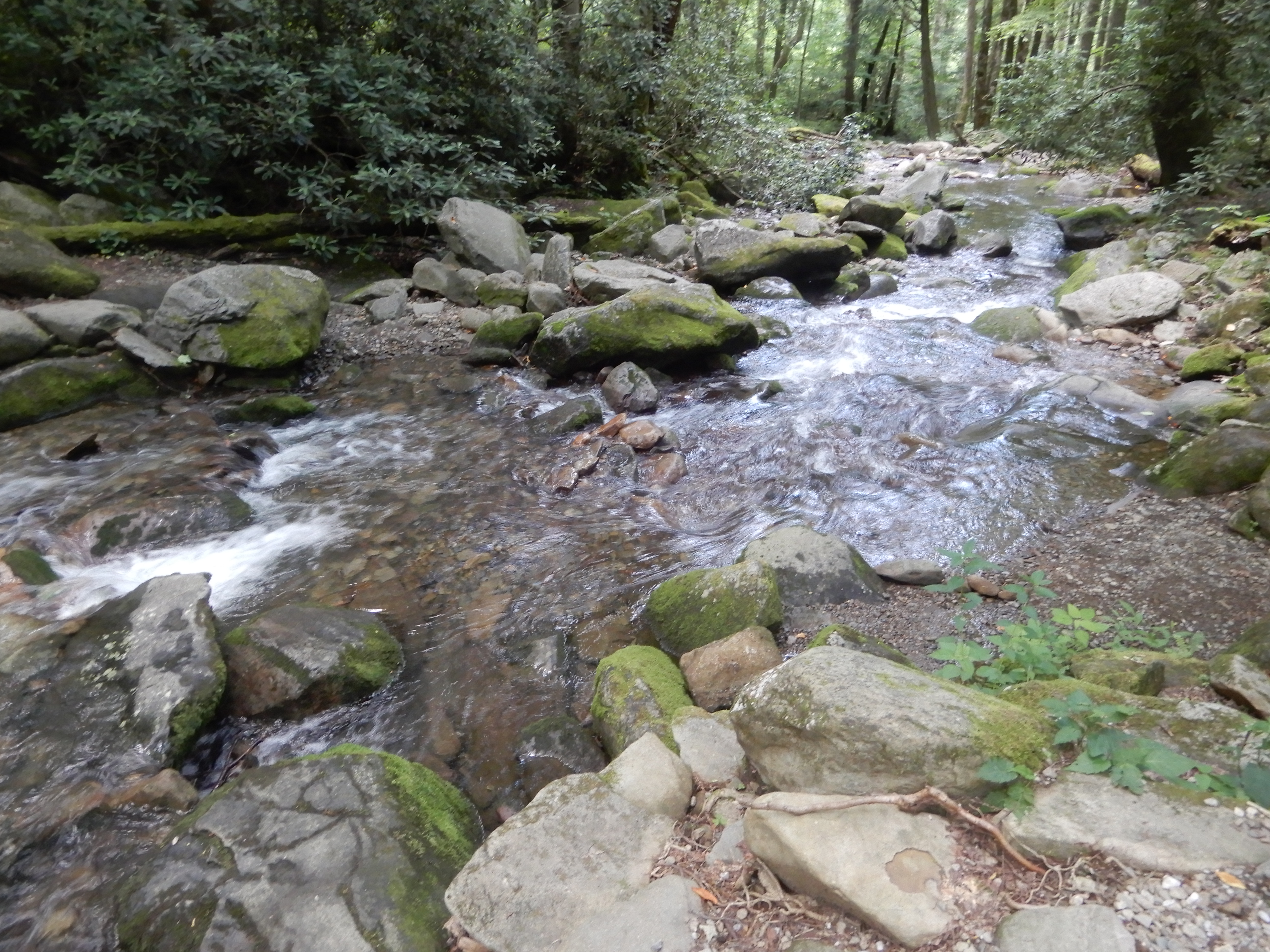
Which led back to the raging river.
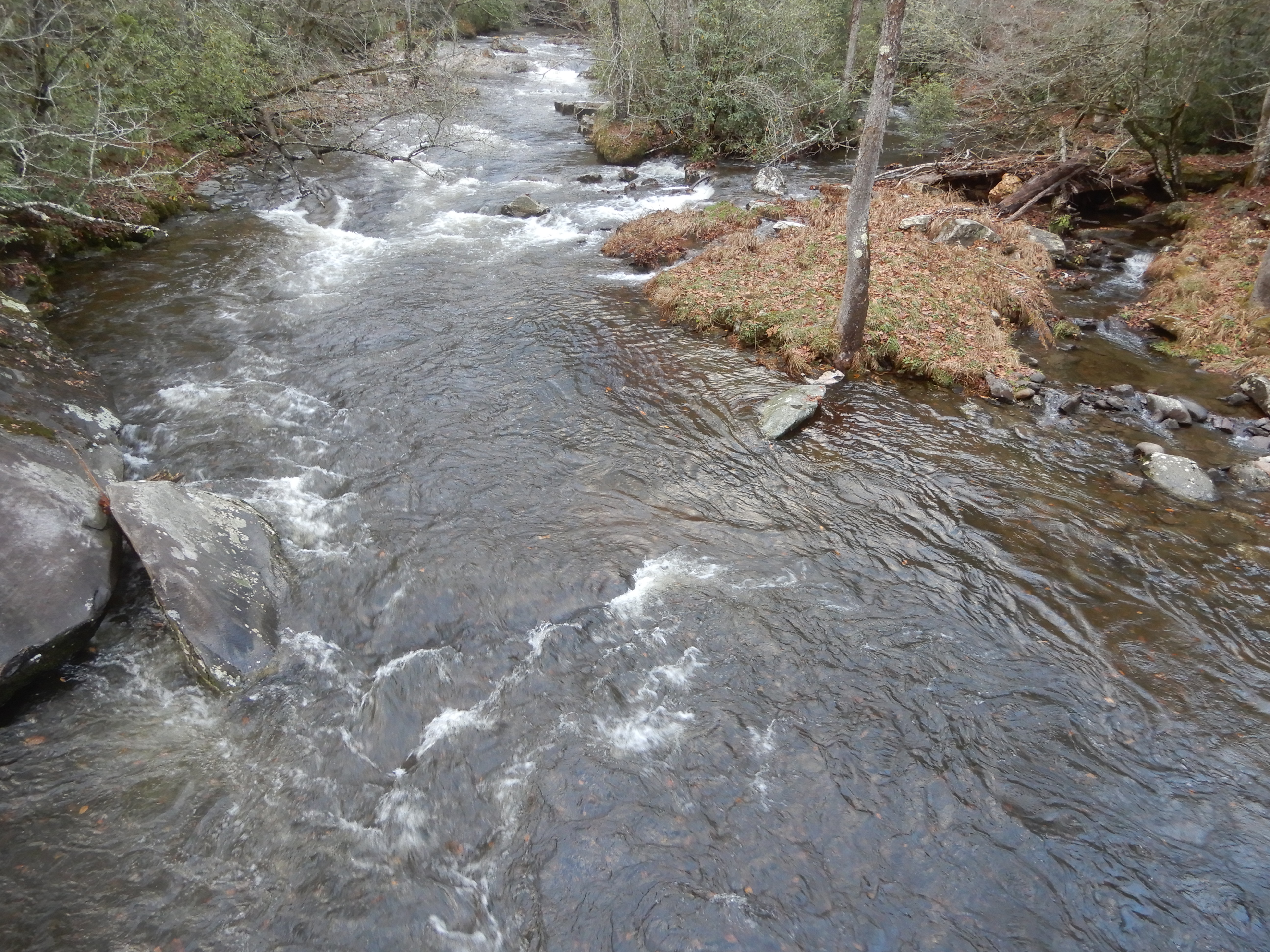
I followed it for a while.
Then it was back to the campsite to scrape all the mud off my shoes and surrender to the elements for the rest of rainy day.
American Locations 20 – Smoky Mountains National Park, Cataloochie Campground
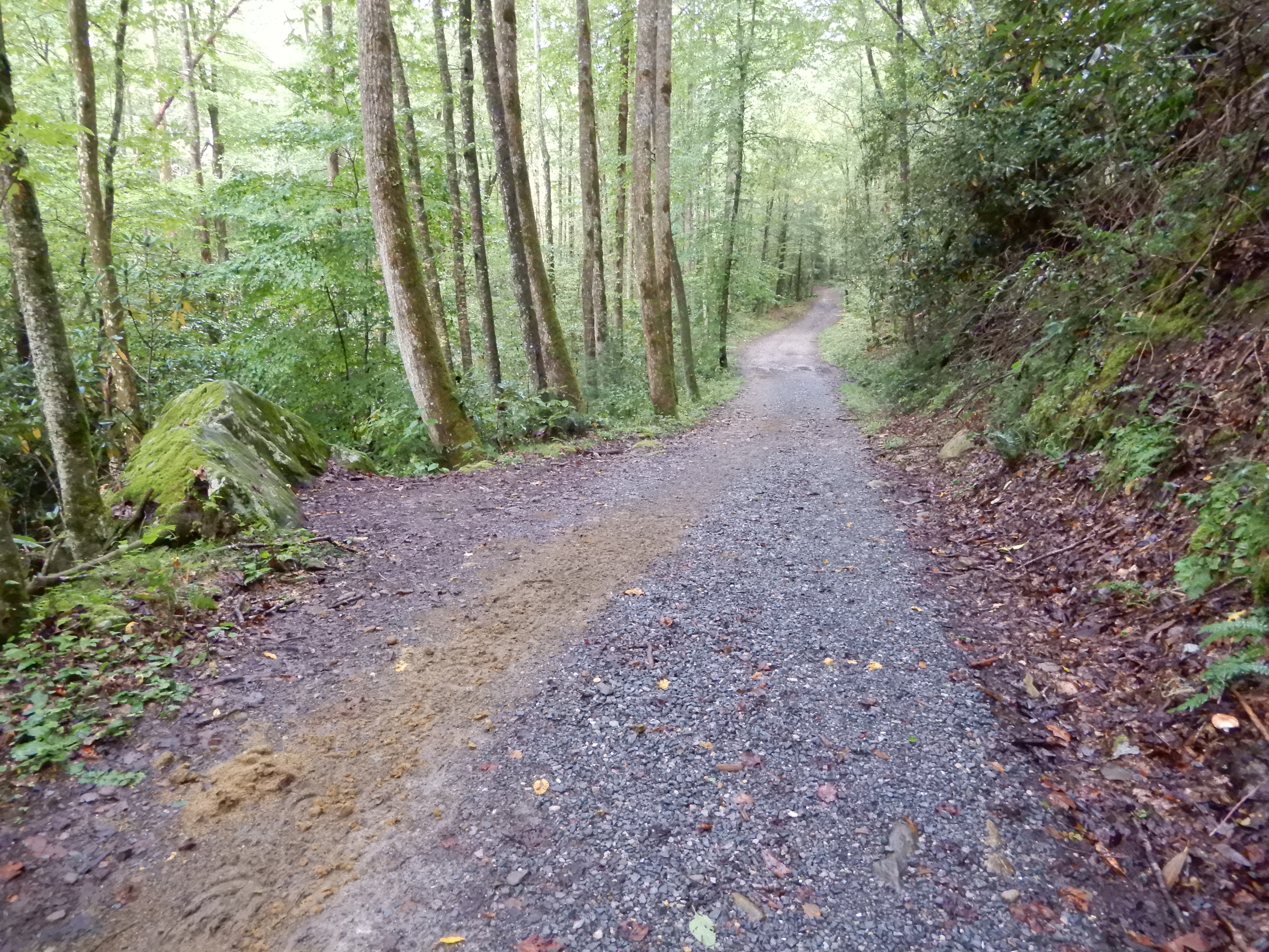
The next day was sunnier. We broke camp early and headed for Cataloochie Campground. Getting to Cataloochie is half the fun. Leaving Smokemont Campground, we drove south on 441 to the south terminus of the Blue Ridge Parkway. We drove north to the Socco Road access, where we exited the Blue Ridge Parkway and continued east on 19 into Maggie Valley. There we headed north on one narrow twisting country road after another, steadily gaining elevation and following Rough Creek much of the way. Then came the really fun part. Leaving Rough Creek behind, we drove onto Ranger Station Road, which led to Cataloochie Entrance Road. Where on a very steep grade we ran out of pavement. For several miles it was a gravel road twisting up to a mountaintop and over, to descend on the other side in the same twisting way. It was great fun. Of course, even though the road was gravel and clung to sheer drops, it was designed wide enough to handle campers. We just took it slowly and enjoyed the sights. After descending for a couple miles on the other side, the pavement returned and we had easy passage the rest of the way to Cataloochie Campground.
Naturally, we went for a short hike to settle our nerves.
Back from our hike, we encountered the campground pet.
Not really a pet. Whenever the resident ranger saw the moose he chased it away. But it always came back. It knew where to find an easy meal. The next day we drove around the valley.
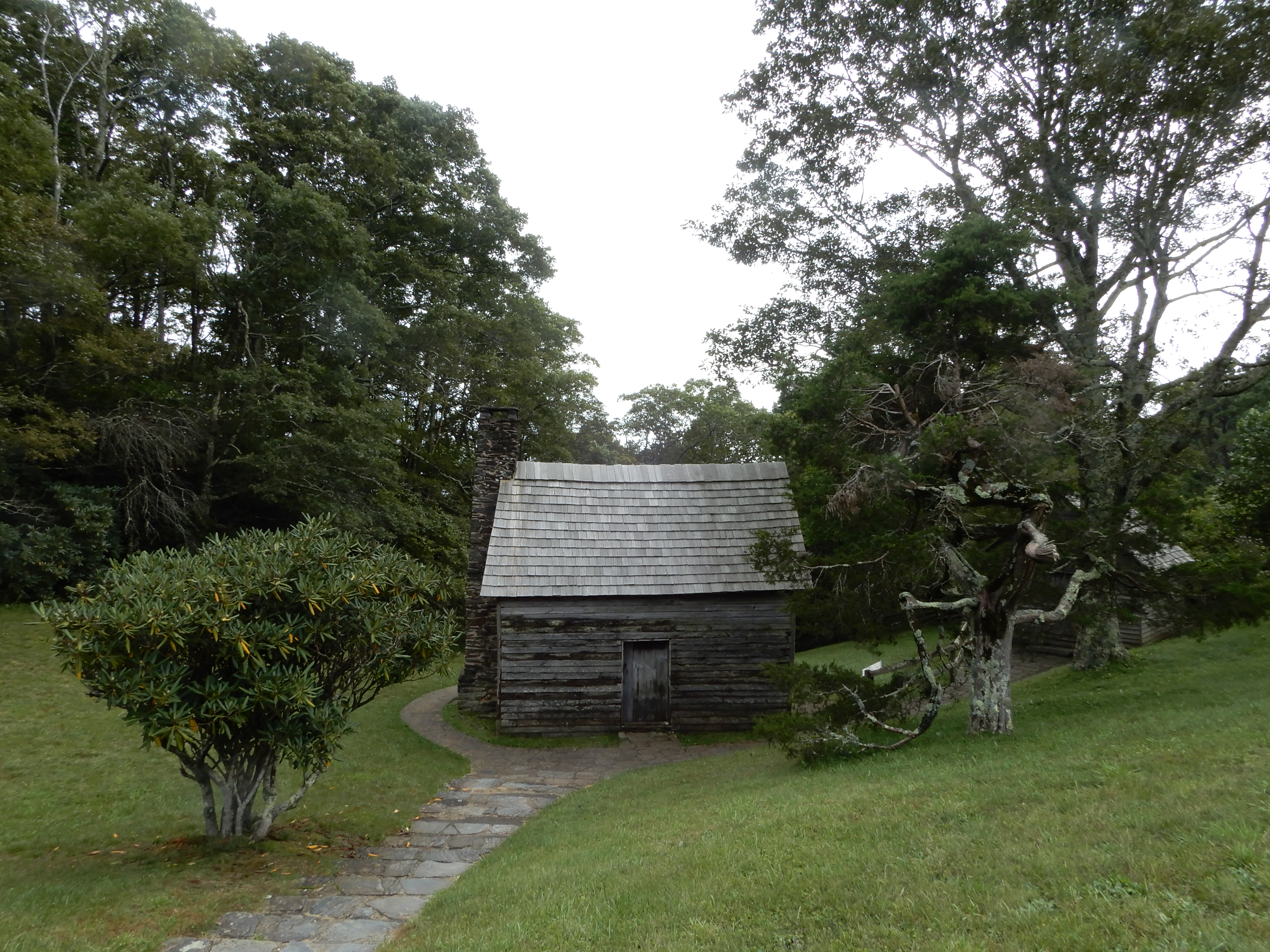
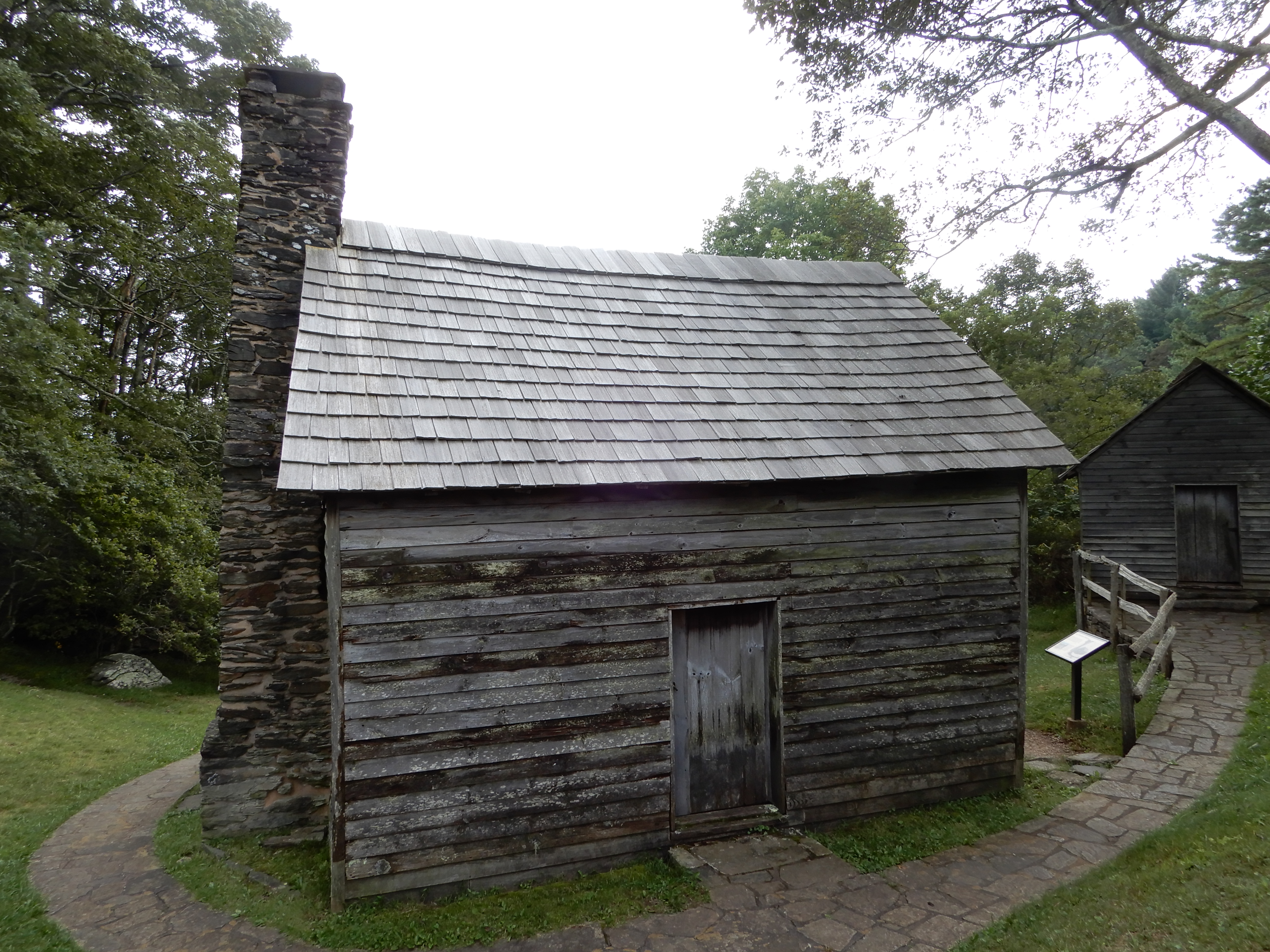
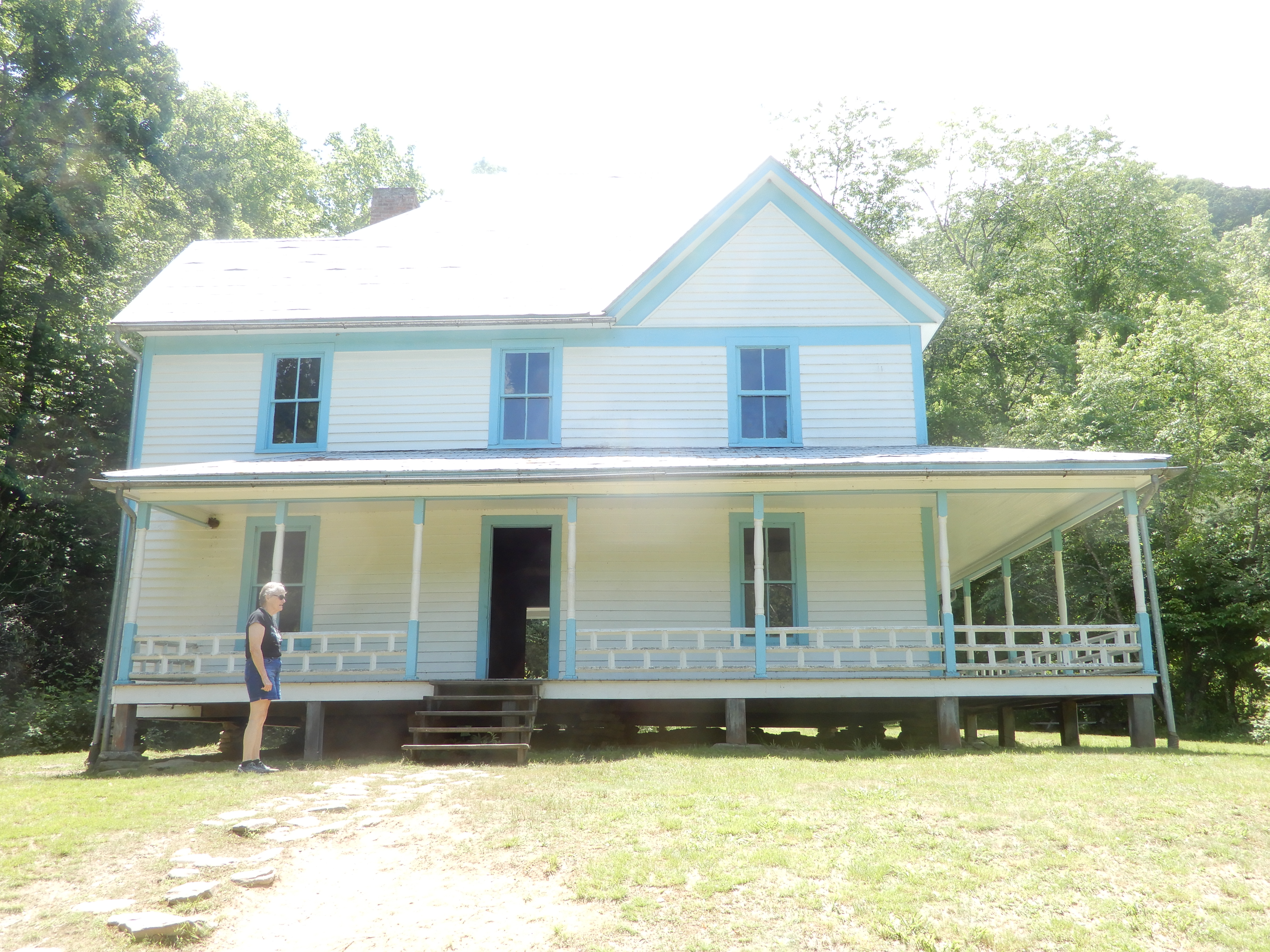
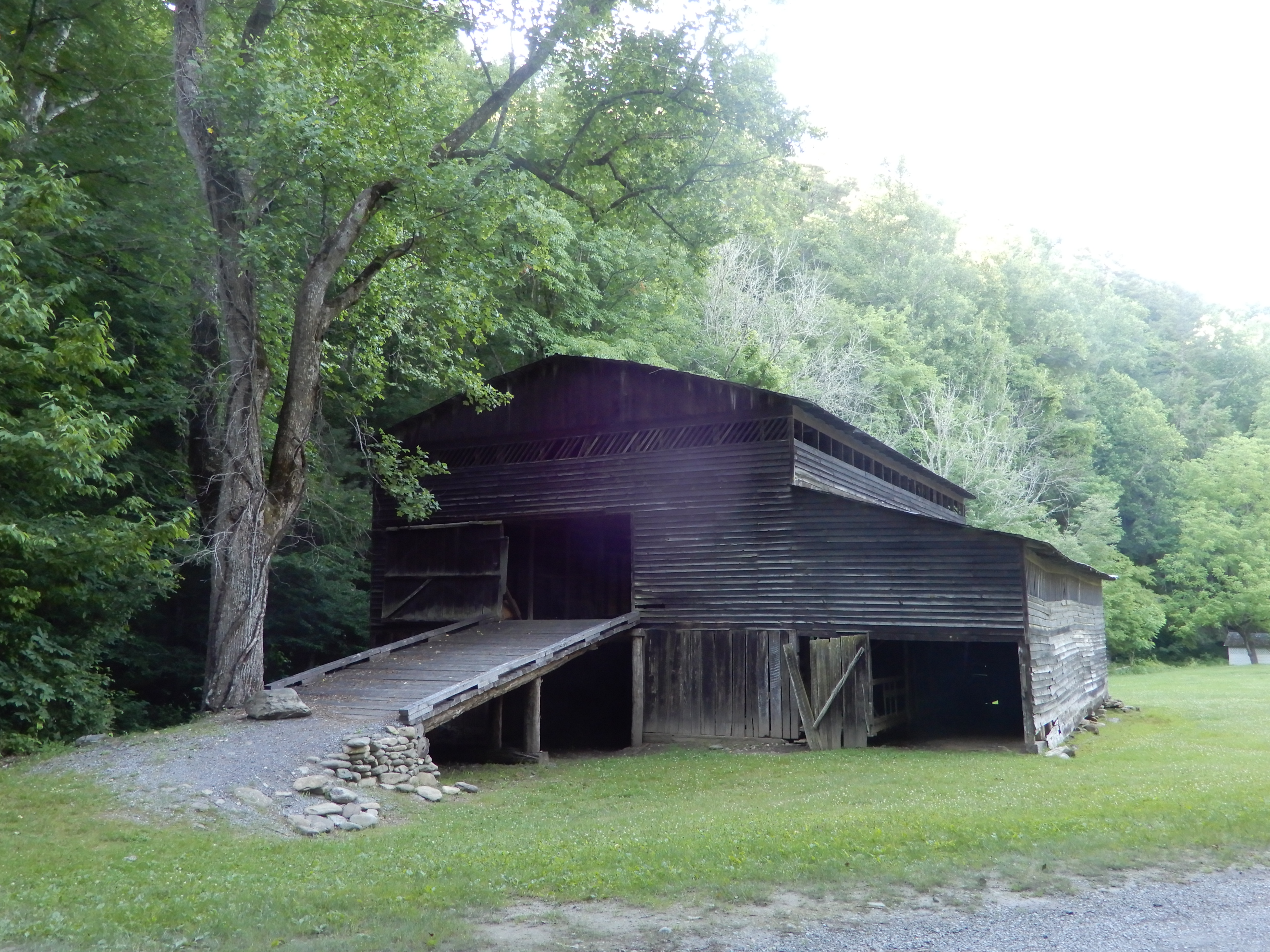
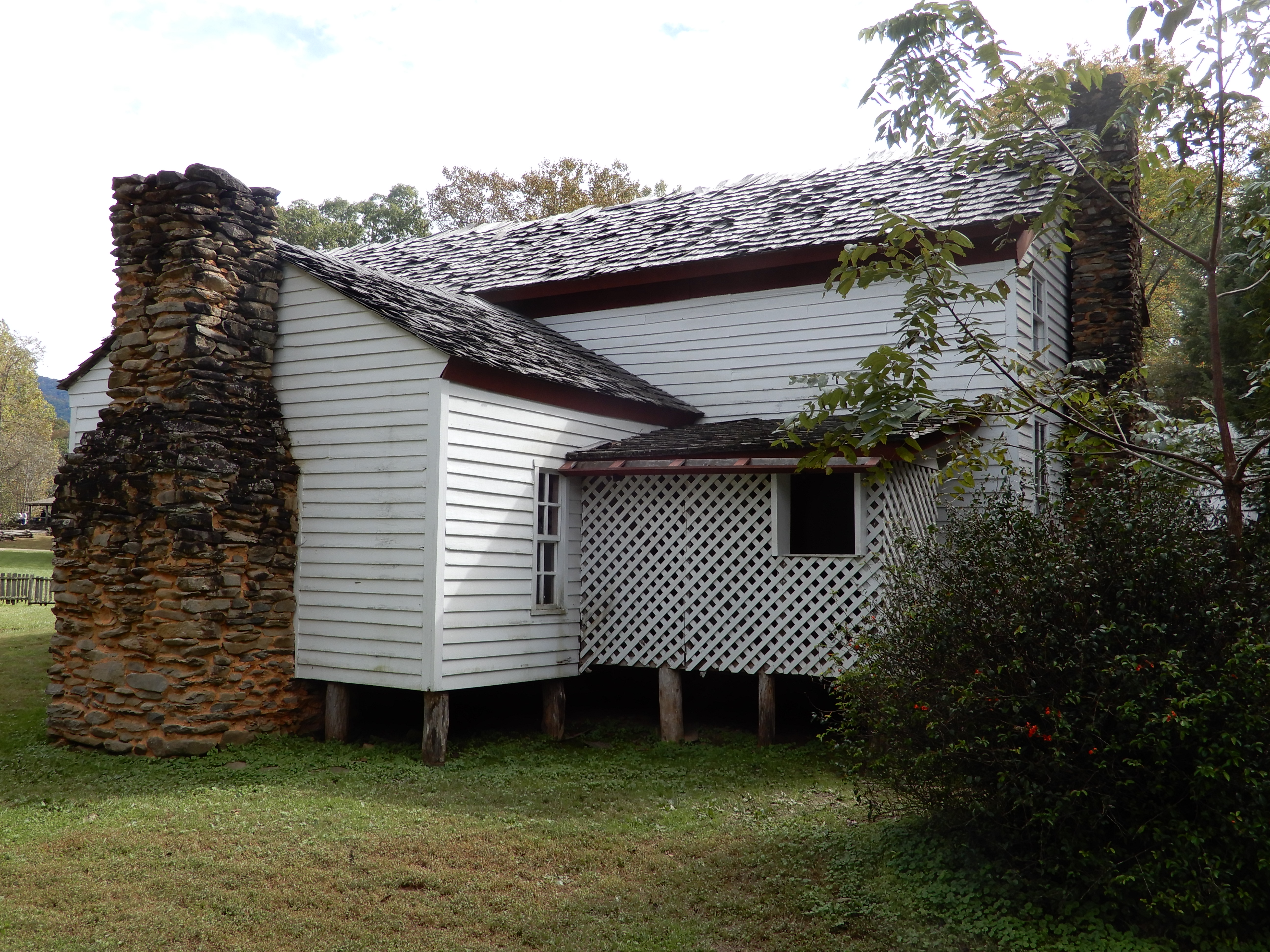
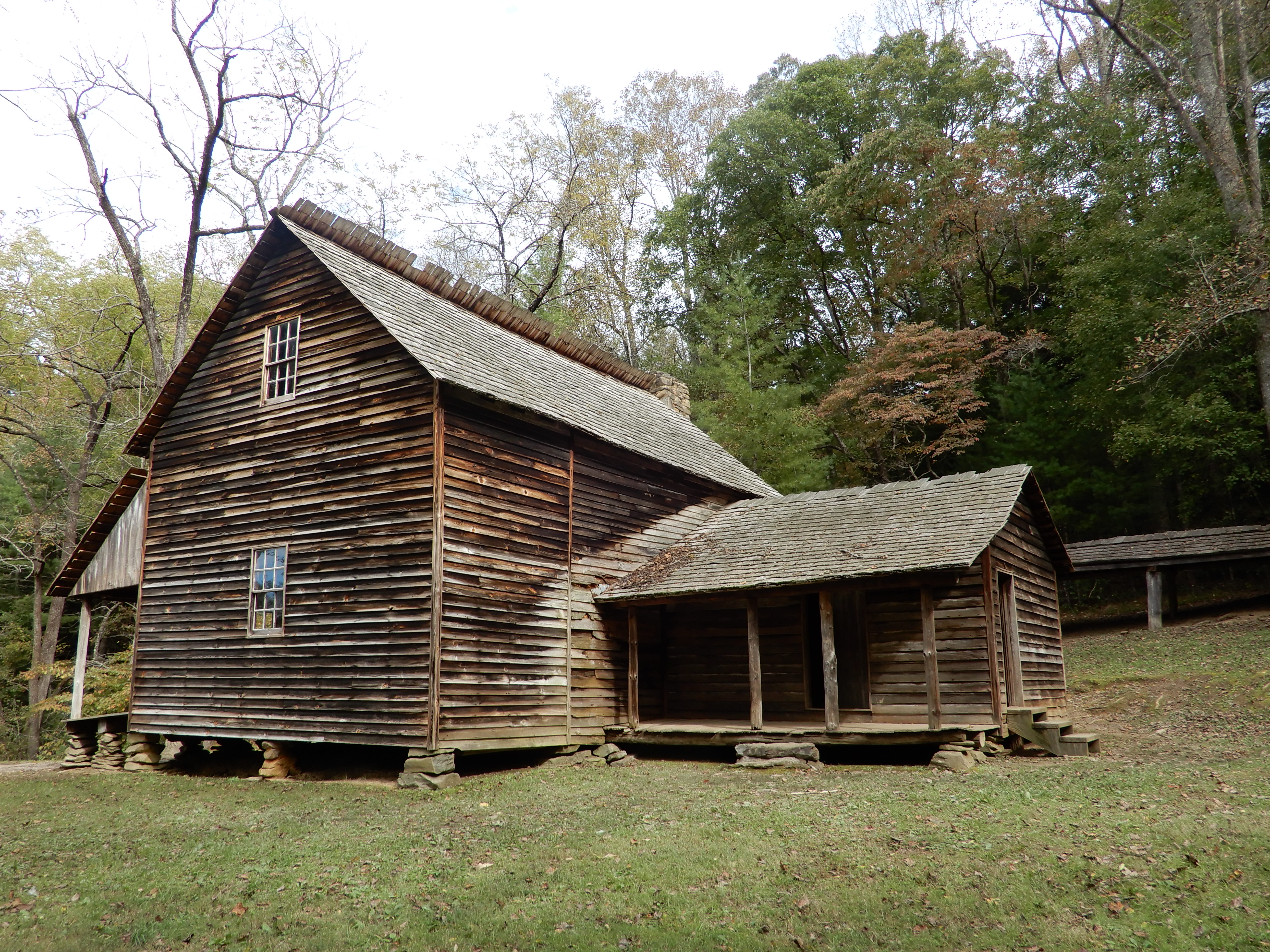
We parked the motor home and hiked a trail that led us to restored buildings. The valley used to be a secluded community.
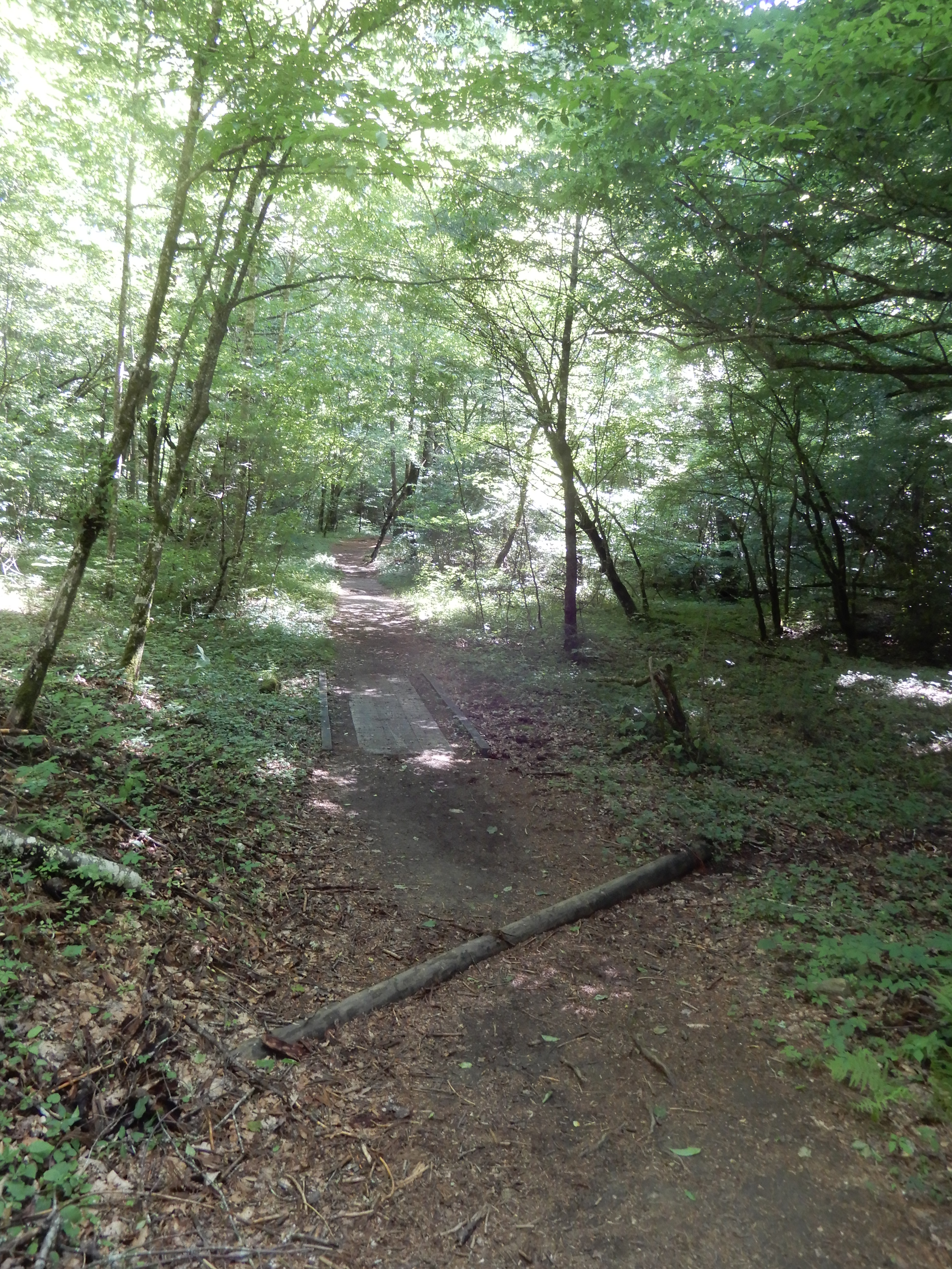
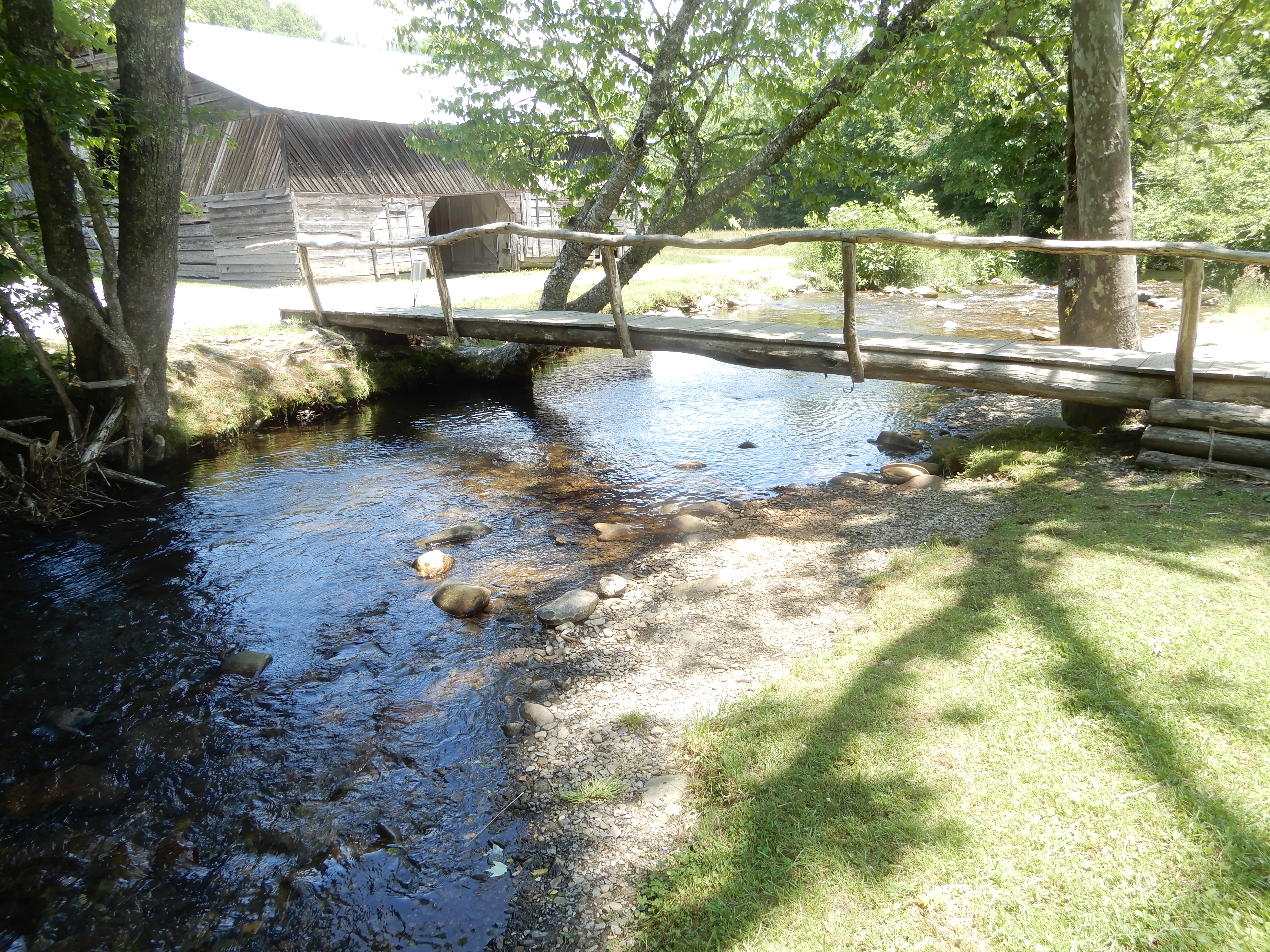
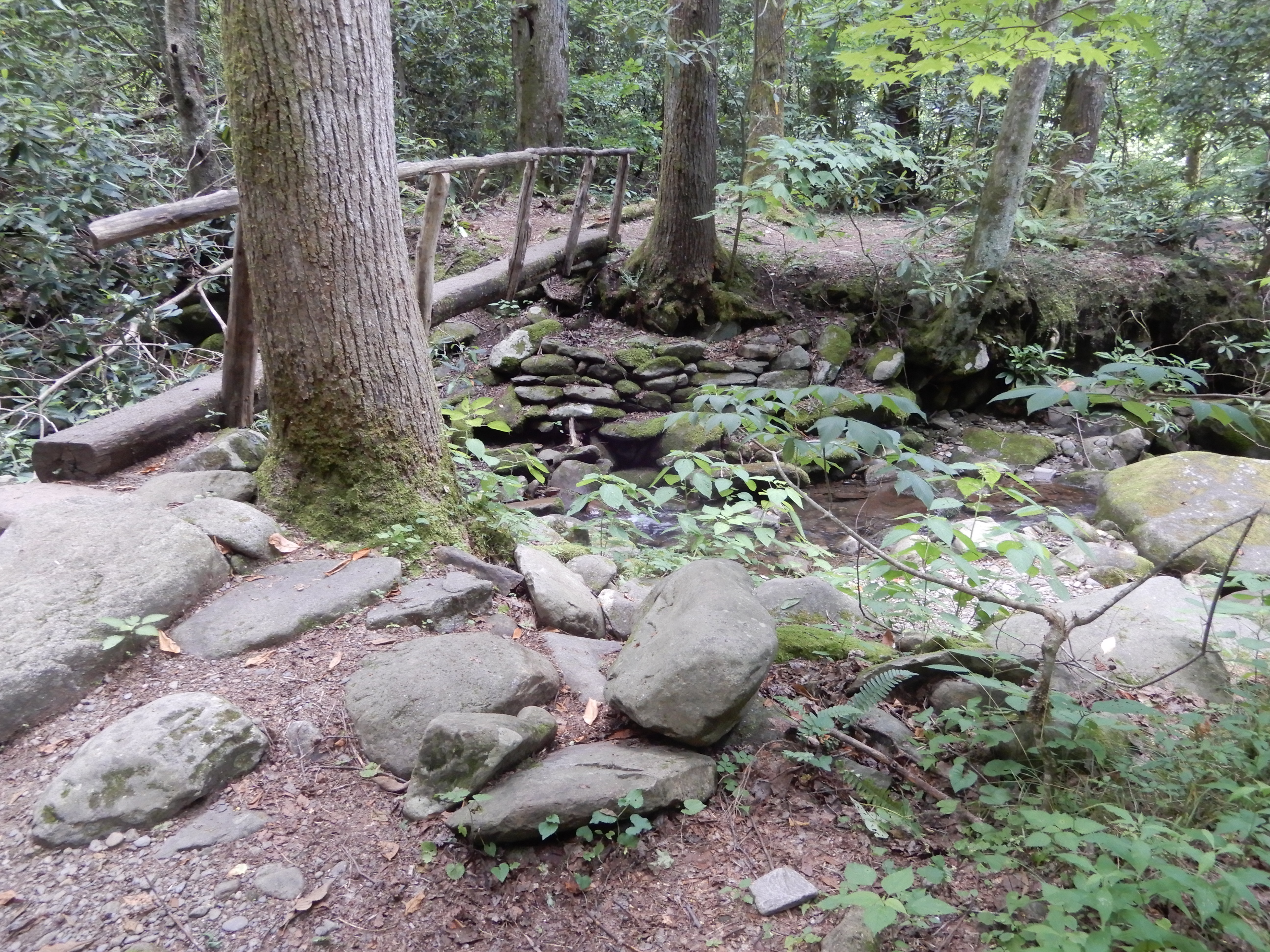
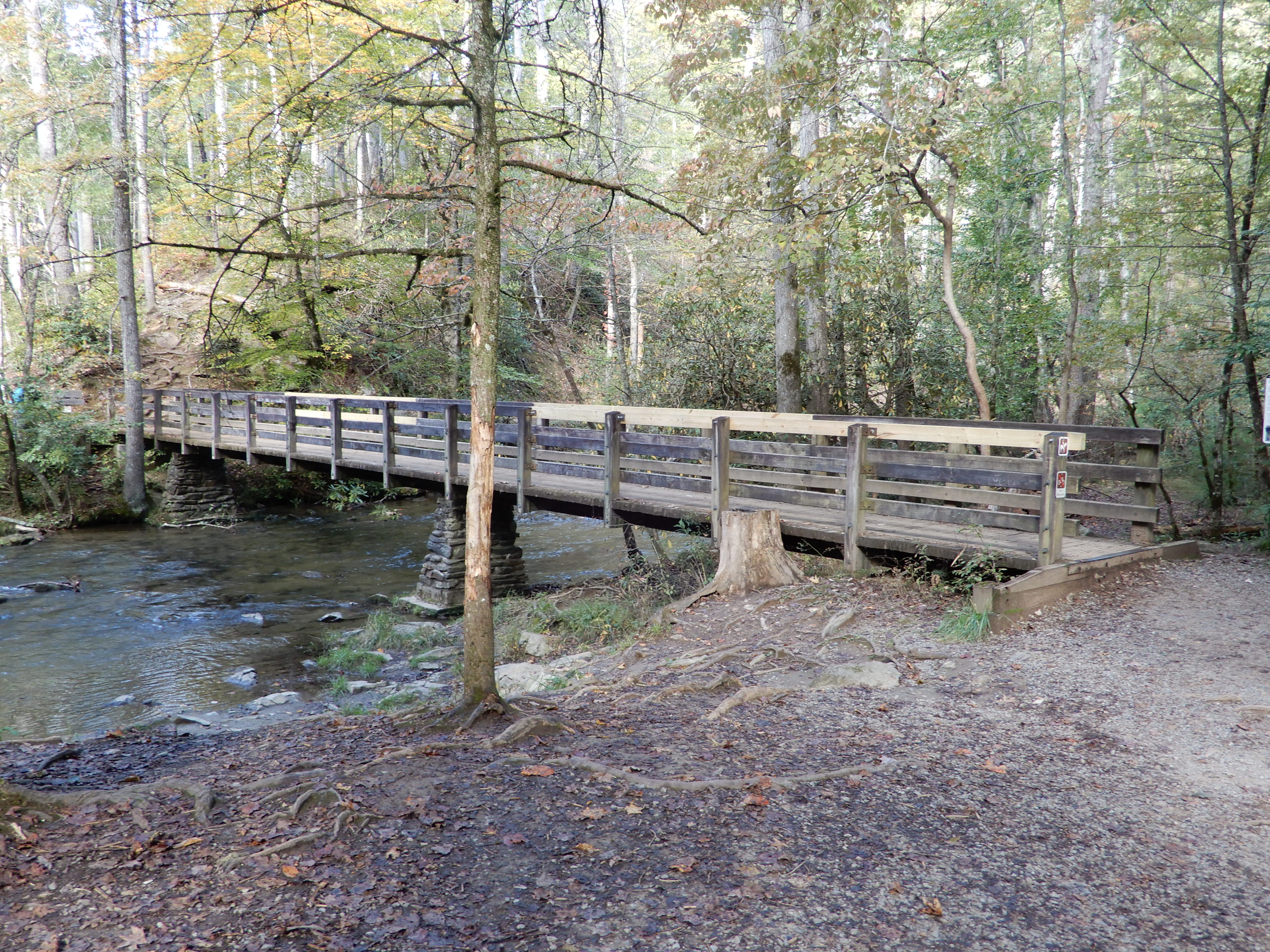
More log bridges, although none as challenging as the one I had found at Smokemont Campground.
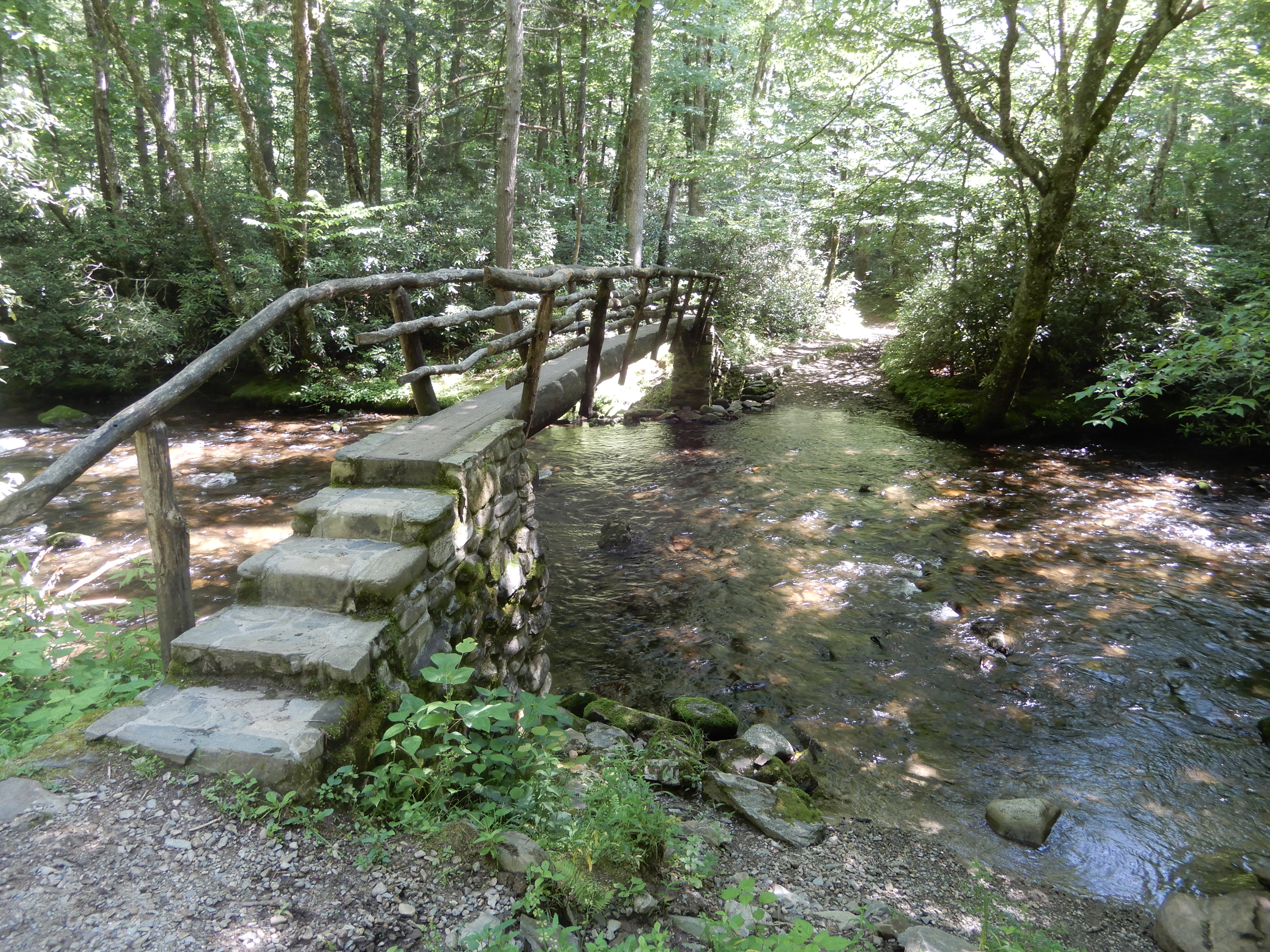
As you can tell in this photo, we were on a multi-use trail. A log bridge for hikers, a ford for horses.
This log bridge was impressively long.
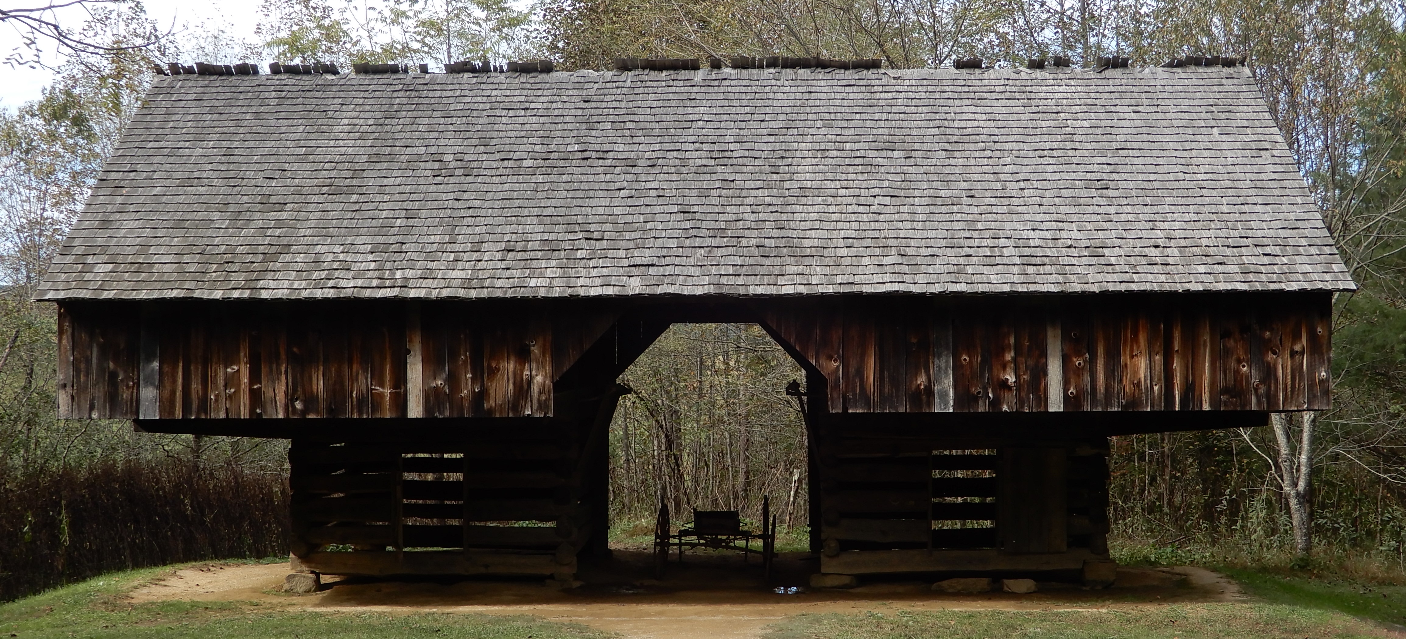
Eventually, we came to the structures.
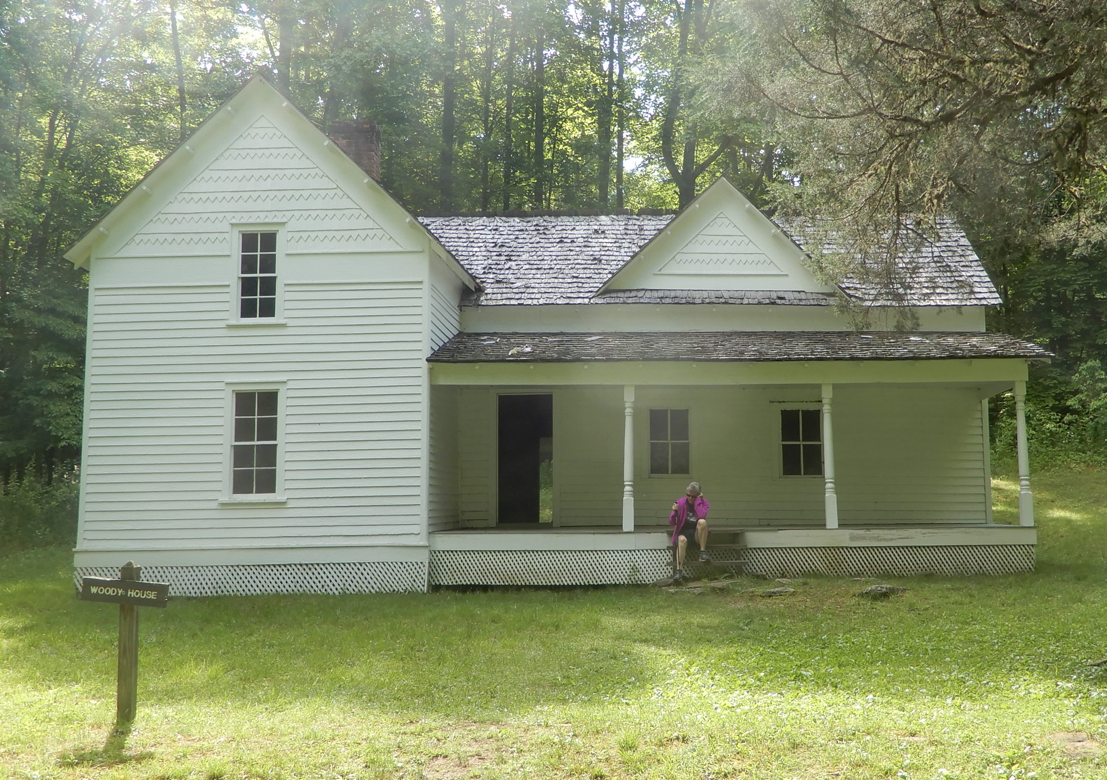
Which were open for inspection.
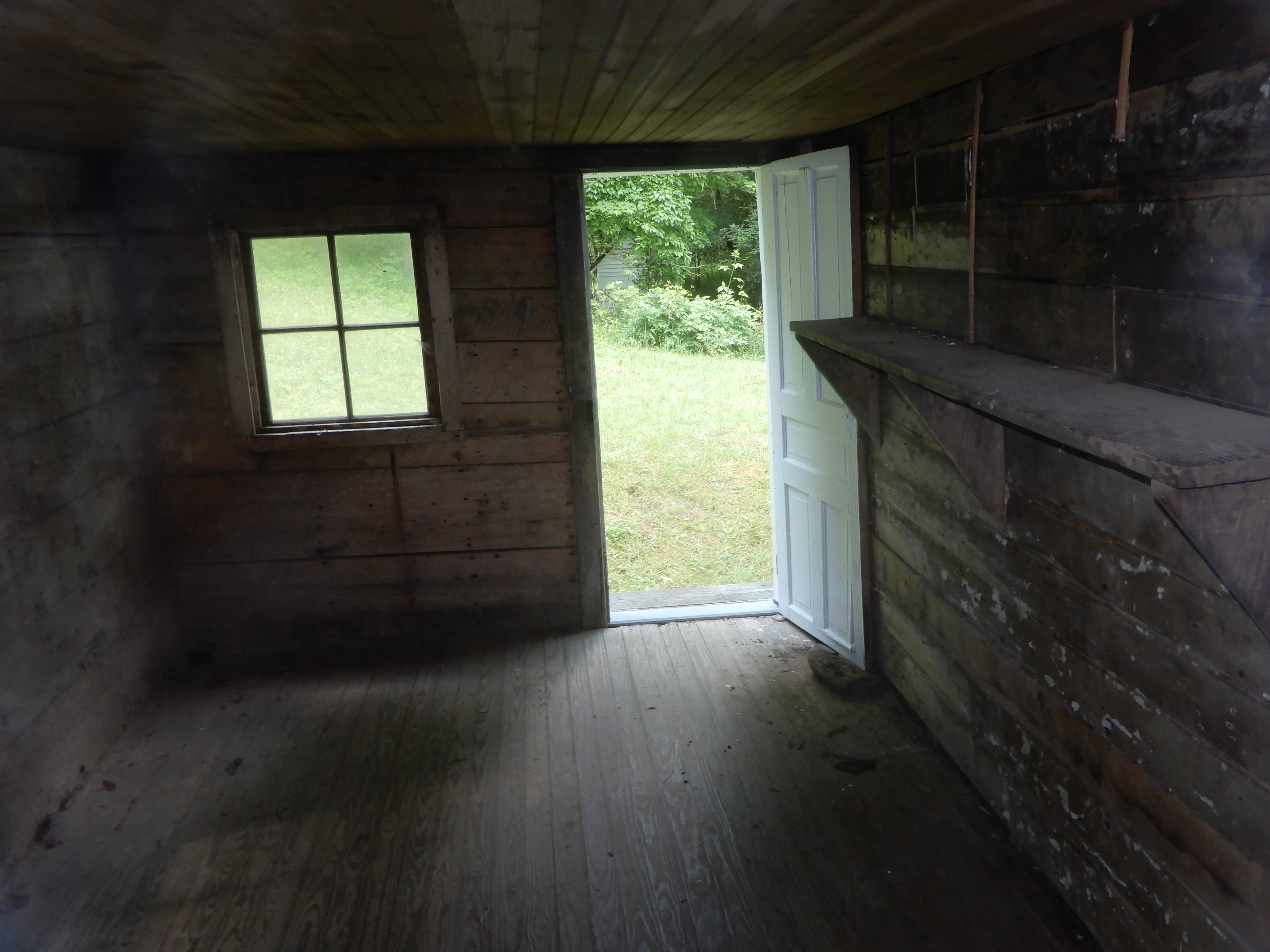
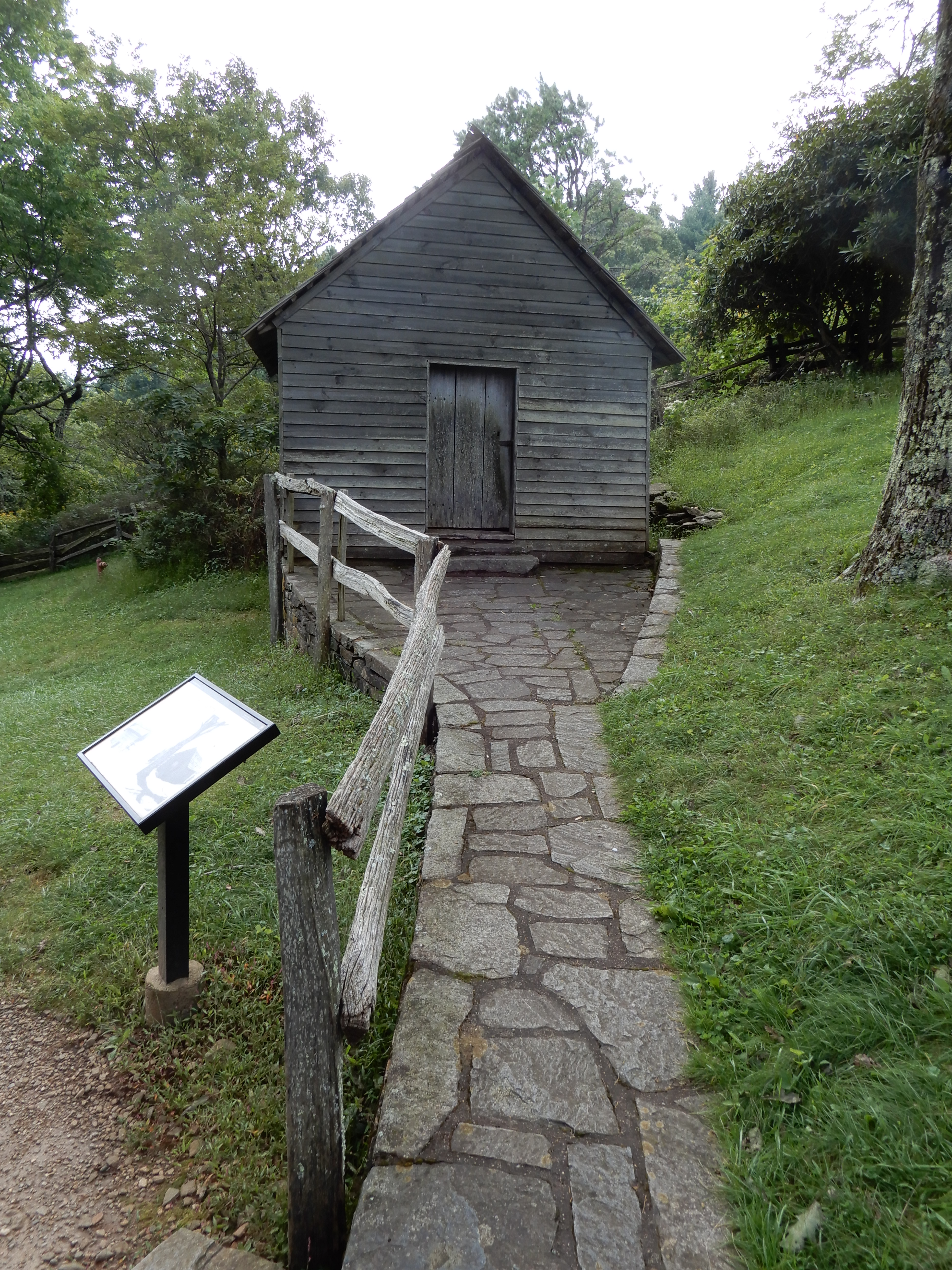
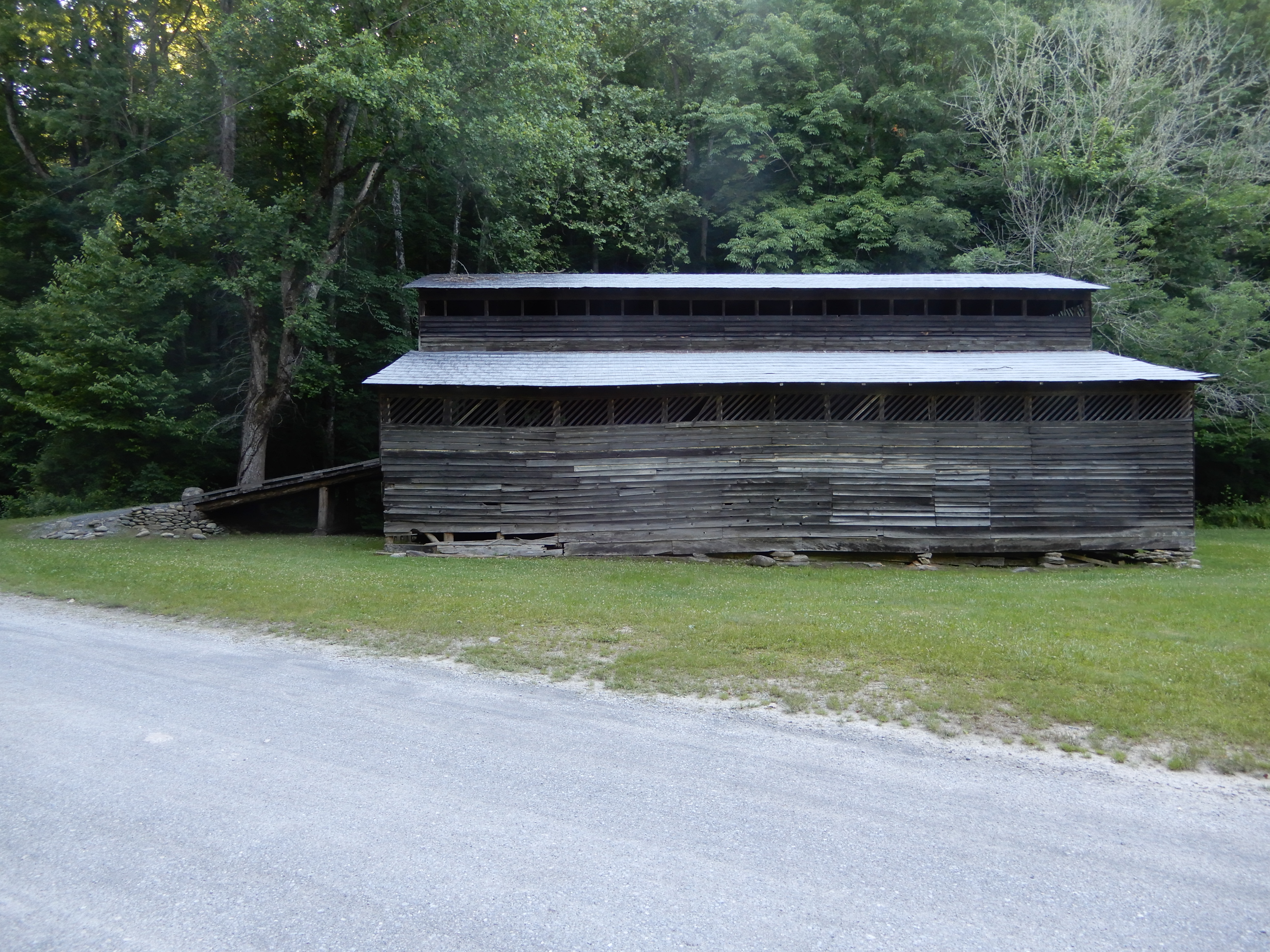
On to other buildings.
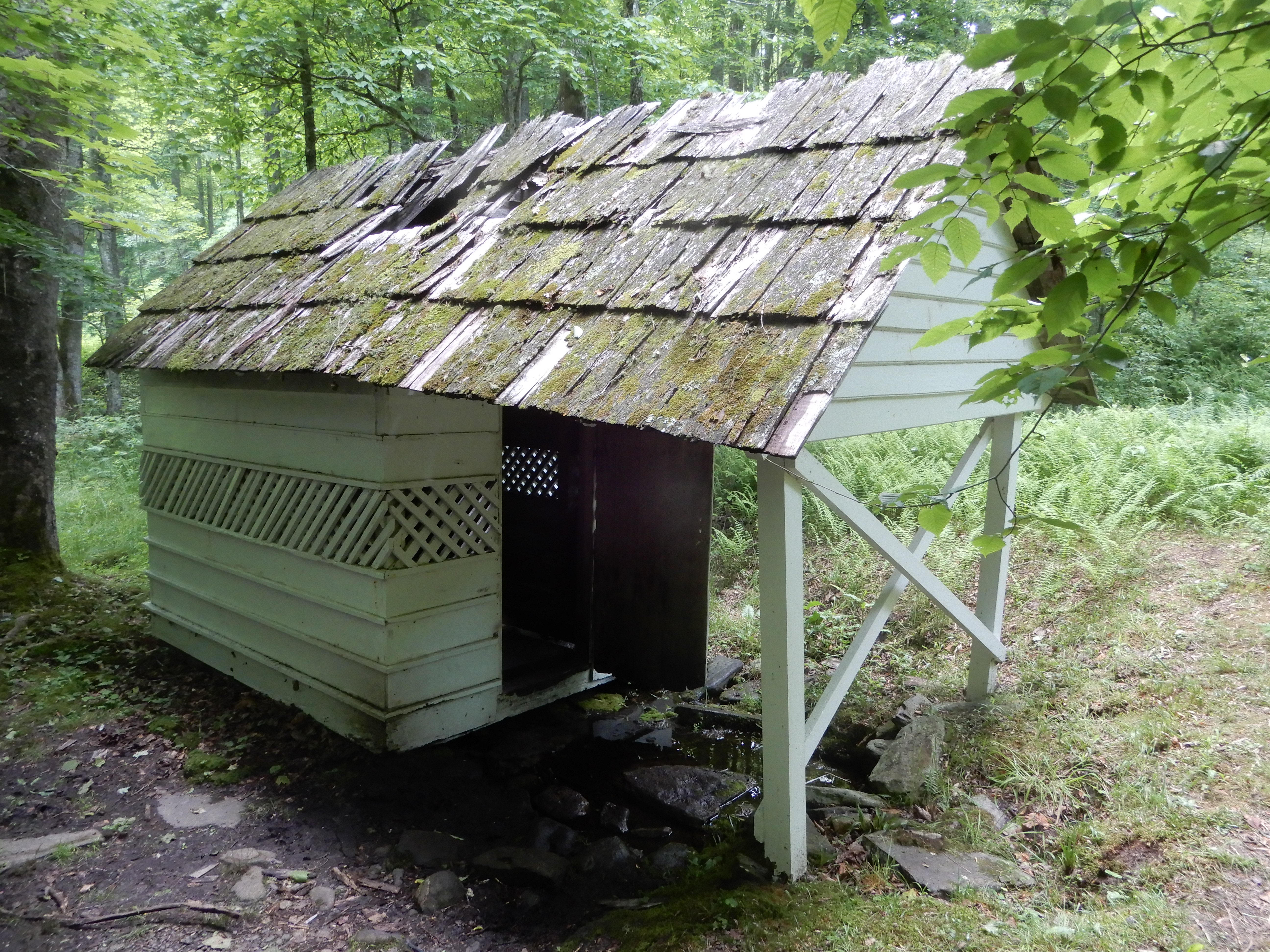
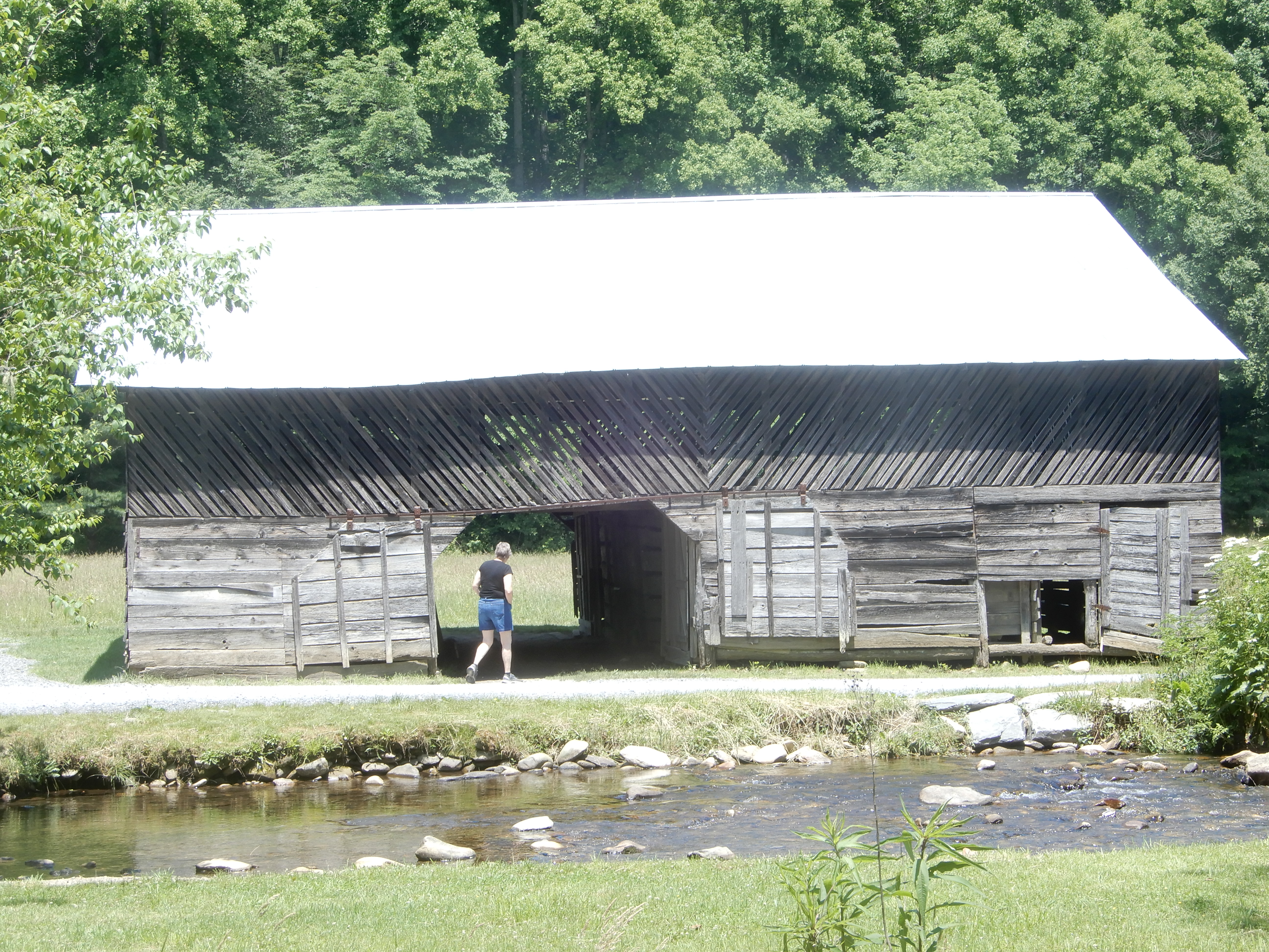
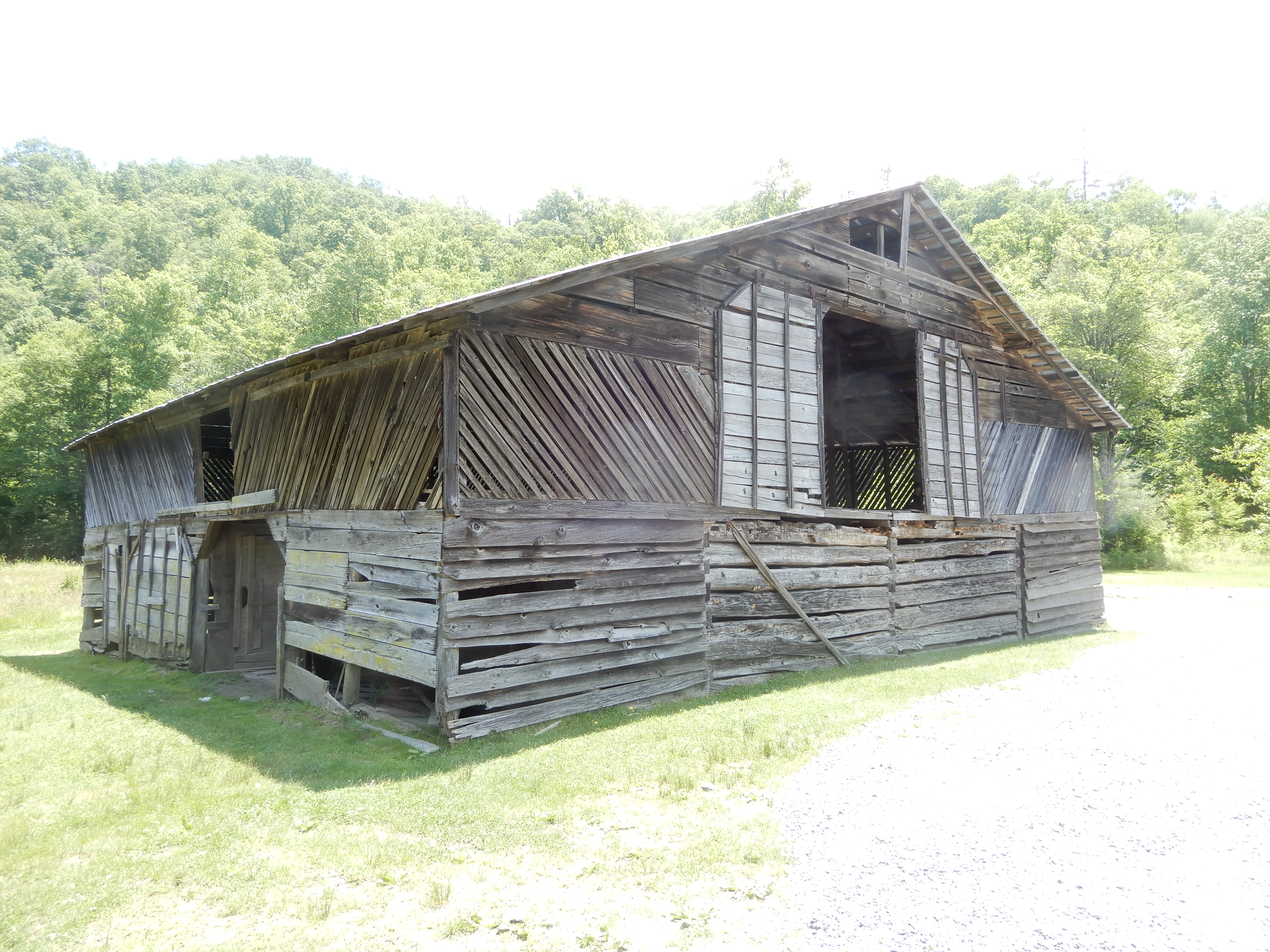
Other more distant old buildings we drove to see.
After 2 nights, we were ready to move on. There is a road in Chataloochie heading north through the park, the Old Chataloochie Turnpike, although to call it a turnpike is a major misnomer. I took this years ago the first time we visited Chataloochie. It was a narrow twisting washed-out gravel road, which most of the time had no gravel and seriously canted to downhill. It was a beautiful drive, which should be restricted to 4-wheel drives. I was in a sedan that time, and it was rough going. I certainly wasn’t about to try it in the motor home. Well, I was willing to try it, but my wife put her foot down. She well-remembered that road. So we went out the same way we went in. Which also was a lot of fun.
American Locations 21: Cosby Campground, Smoky Mountains National Park, Tennessee
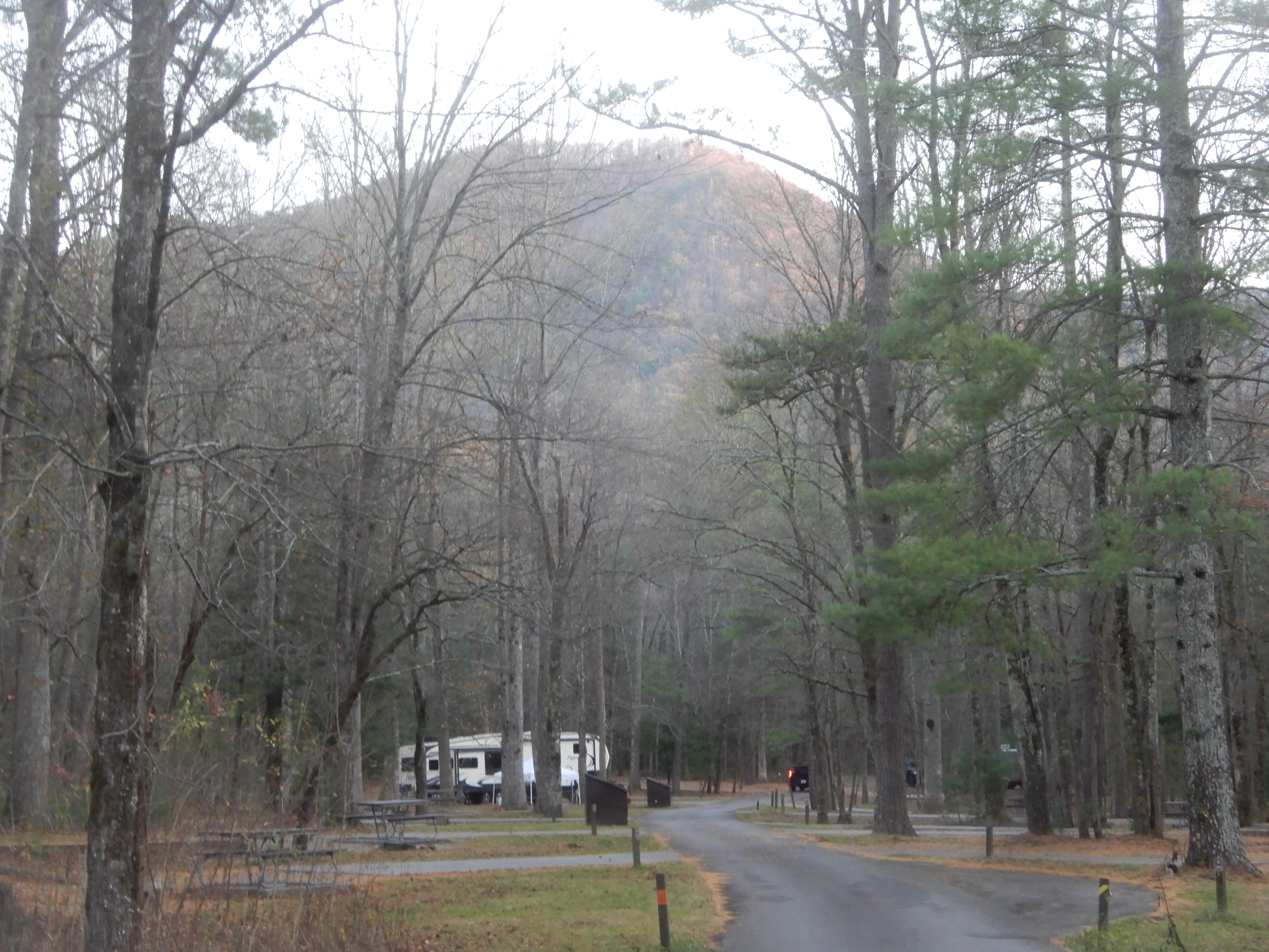
After backtracking all the way from Cataloochie Campground to Maggie Valley, as always an exciting drive no matter which direction you go on it, we drove east on 19 to north on 276 onto I-40. We continued north across the state line into Tennessee, then went east on 32. We turned south onto the Cosby Entrance Road. It was a long scenic drive to Cosby Campground.
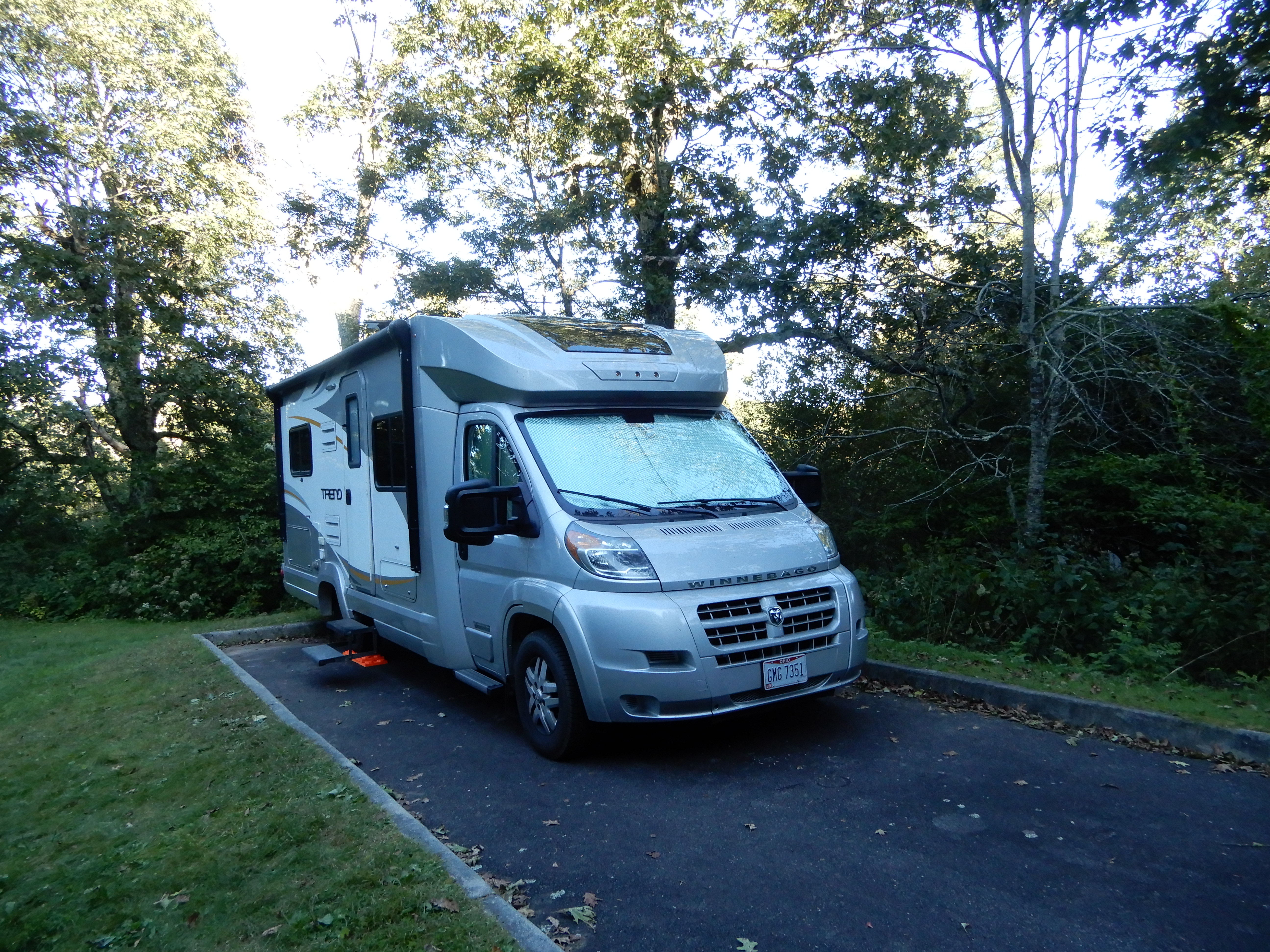
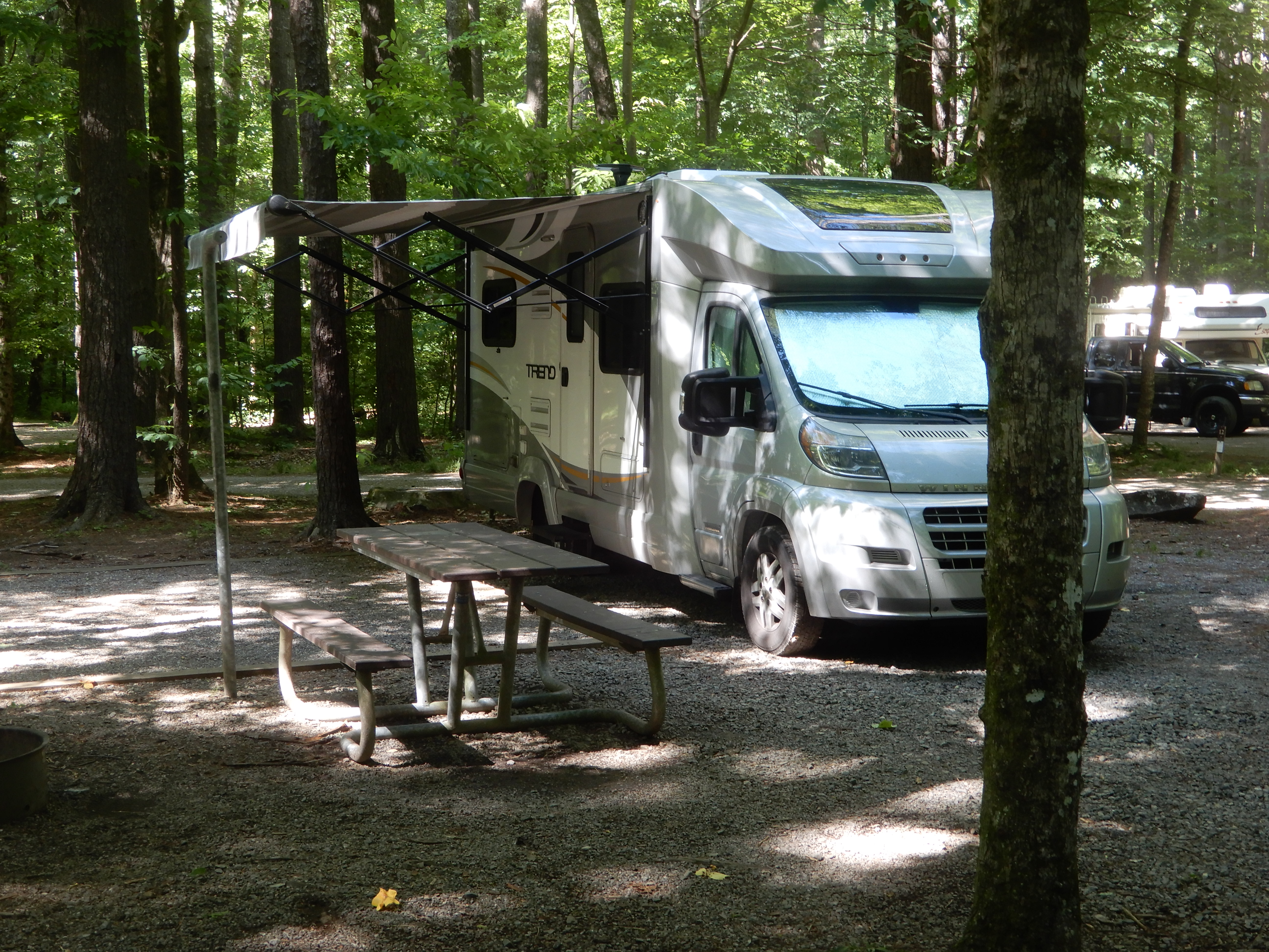
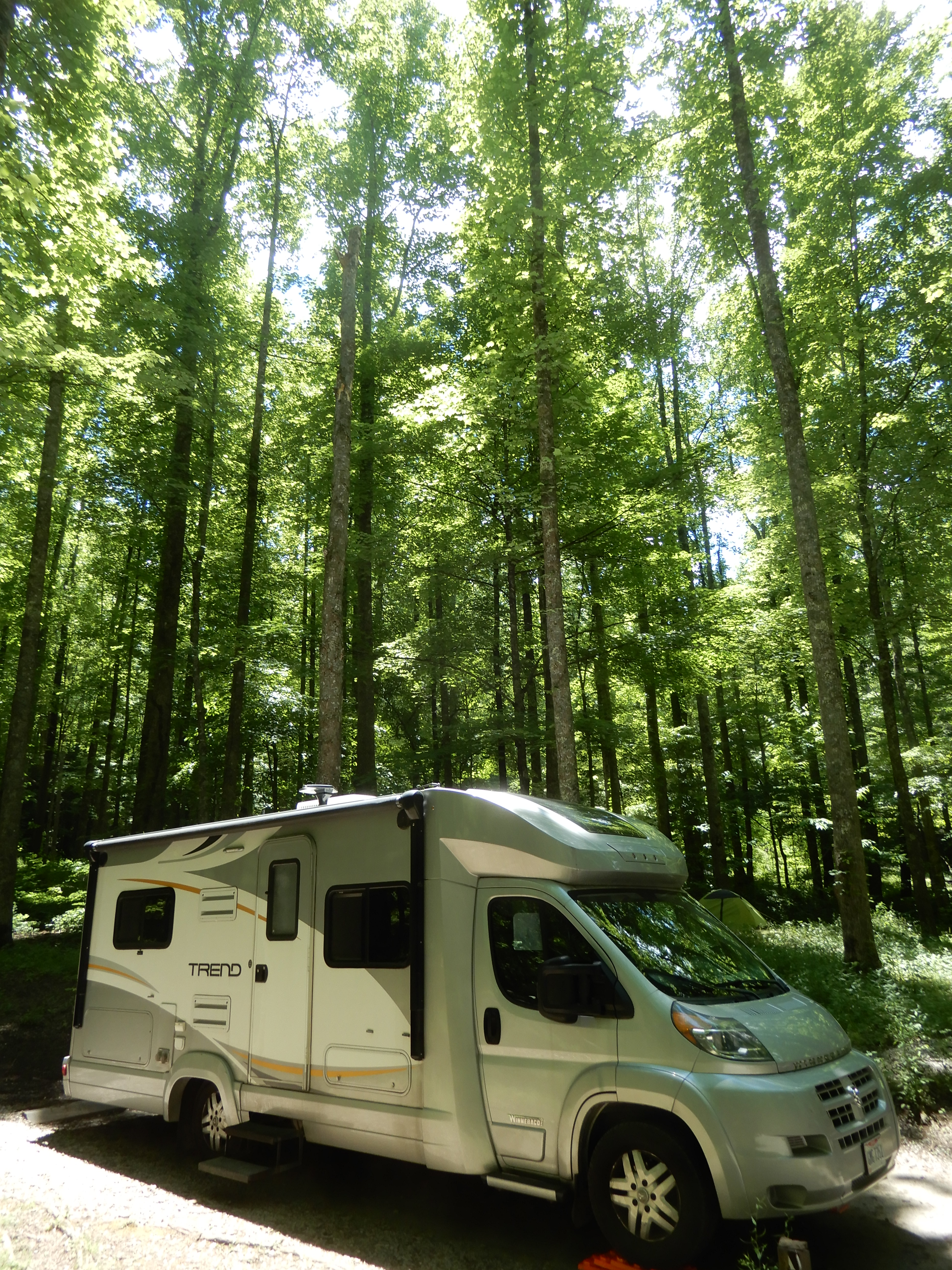
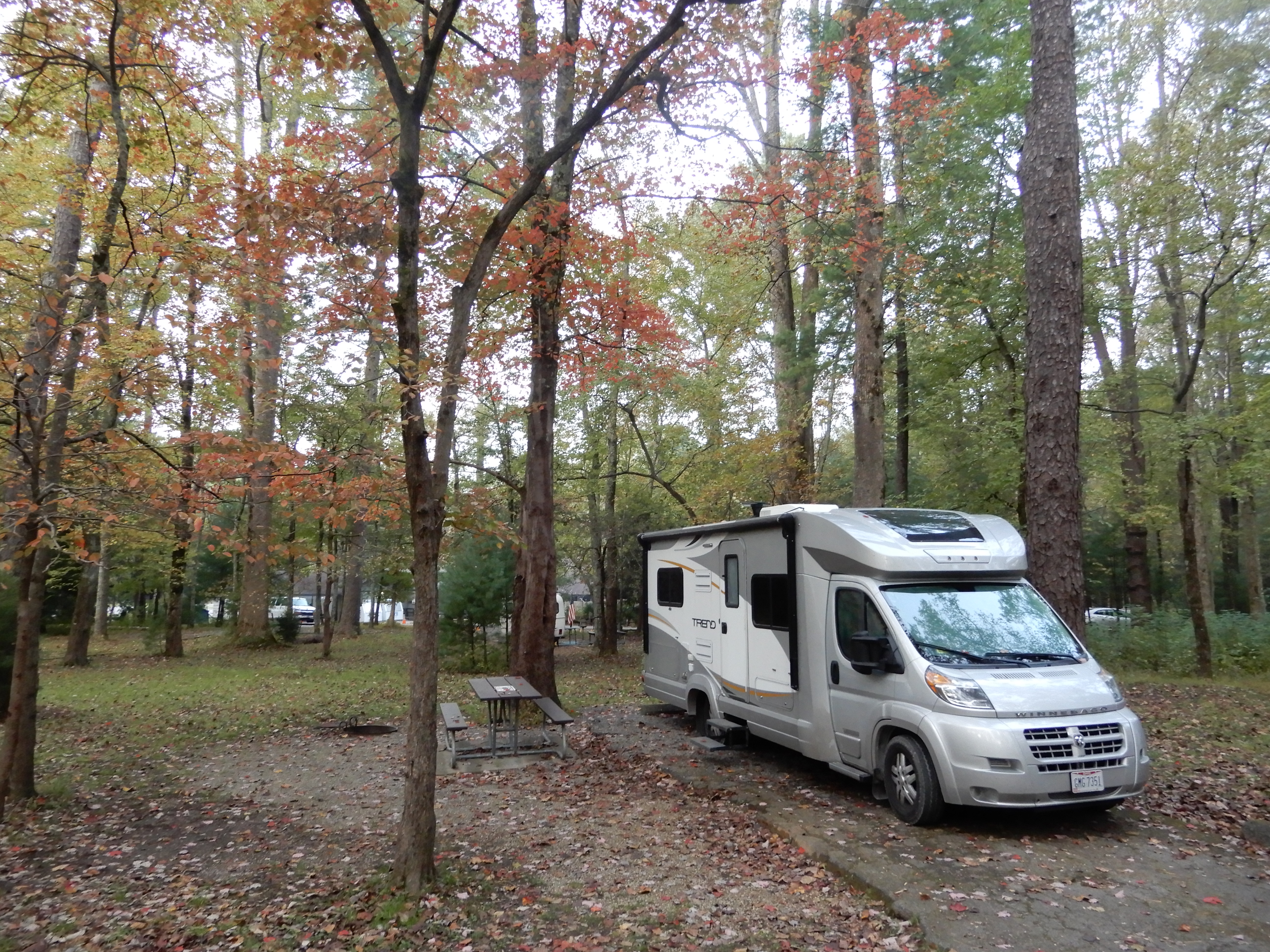
We set up on a site amid tall trees.
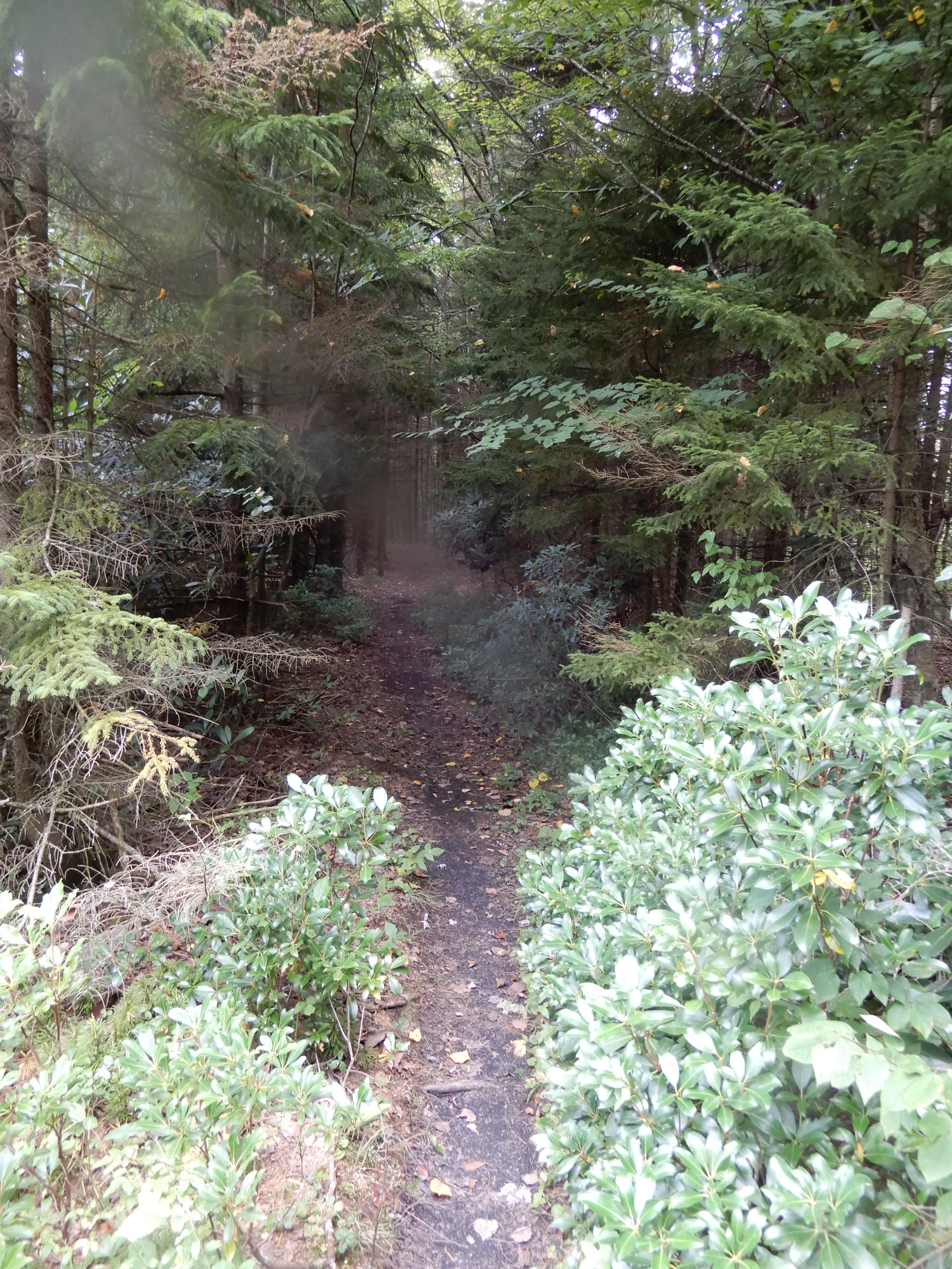
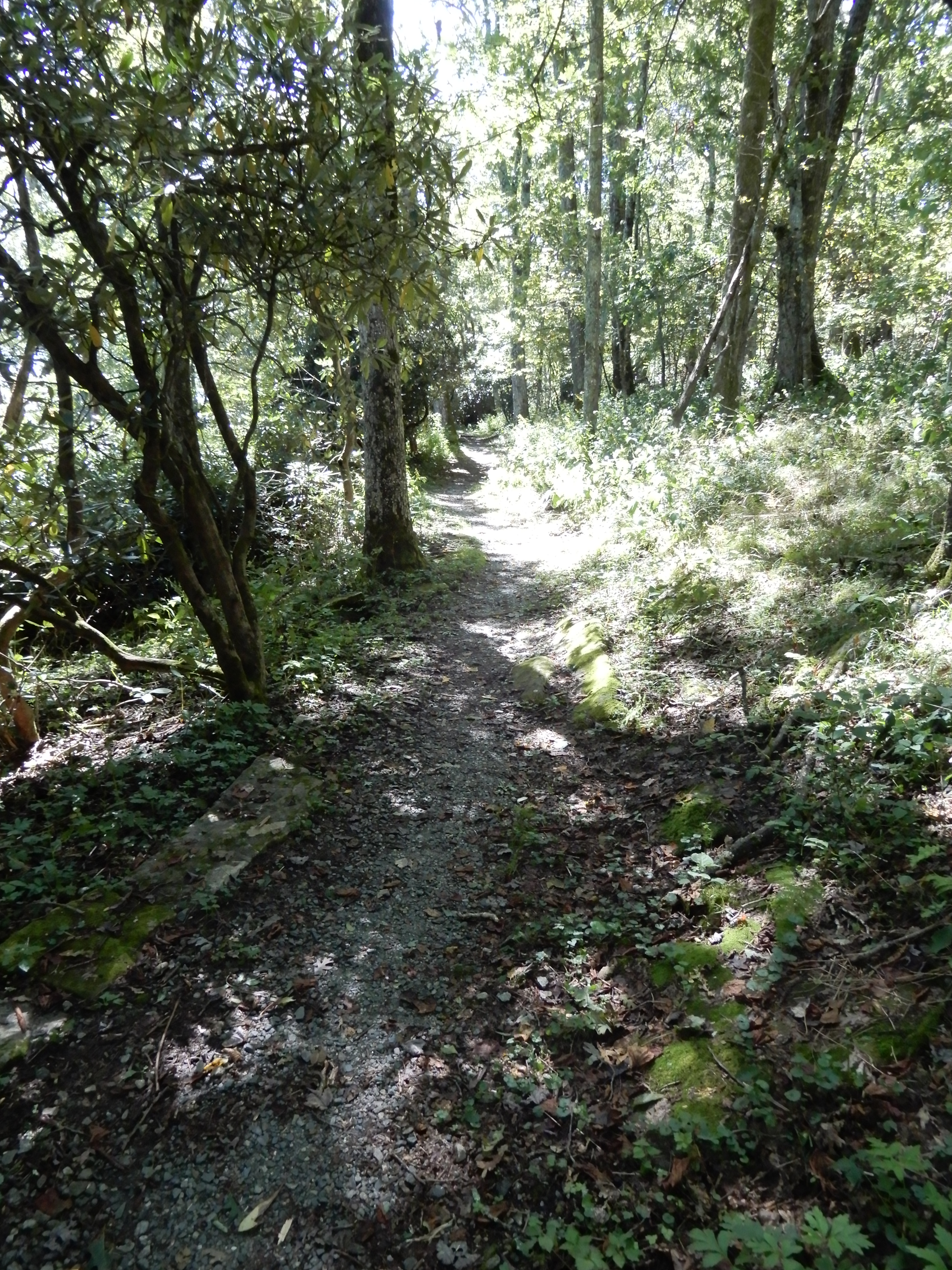
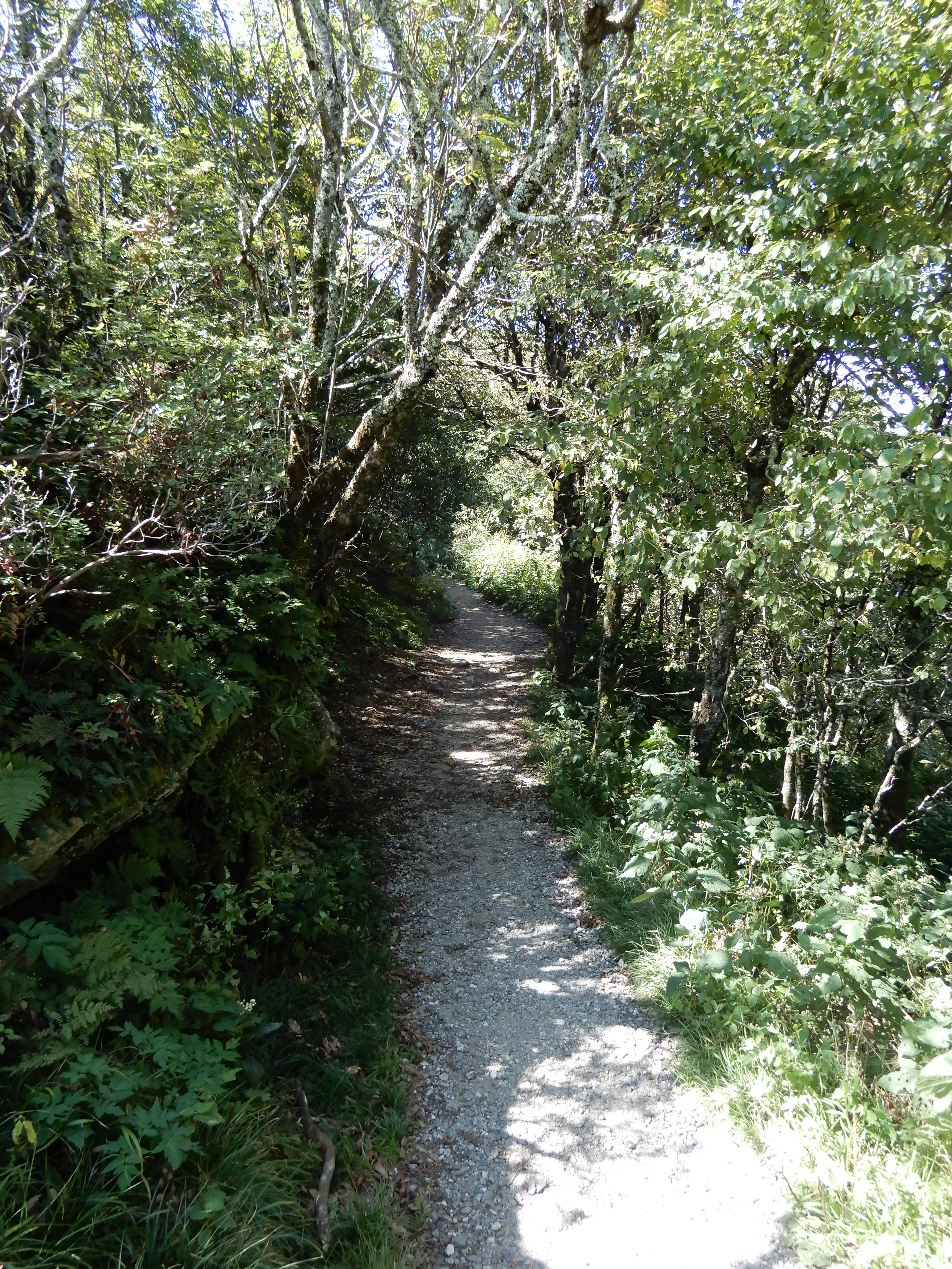
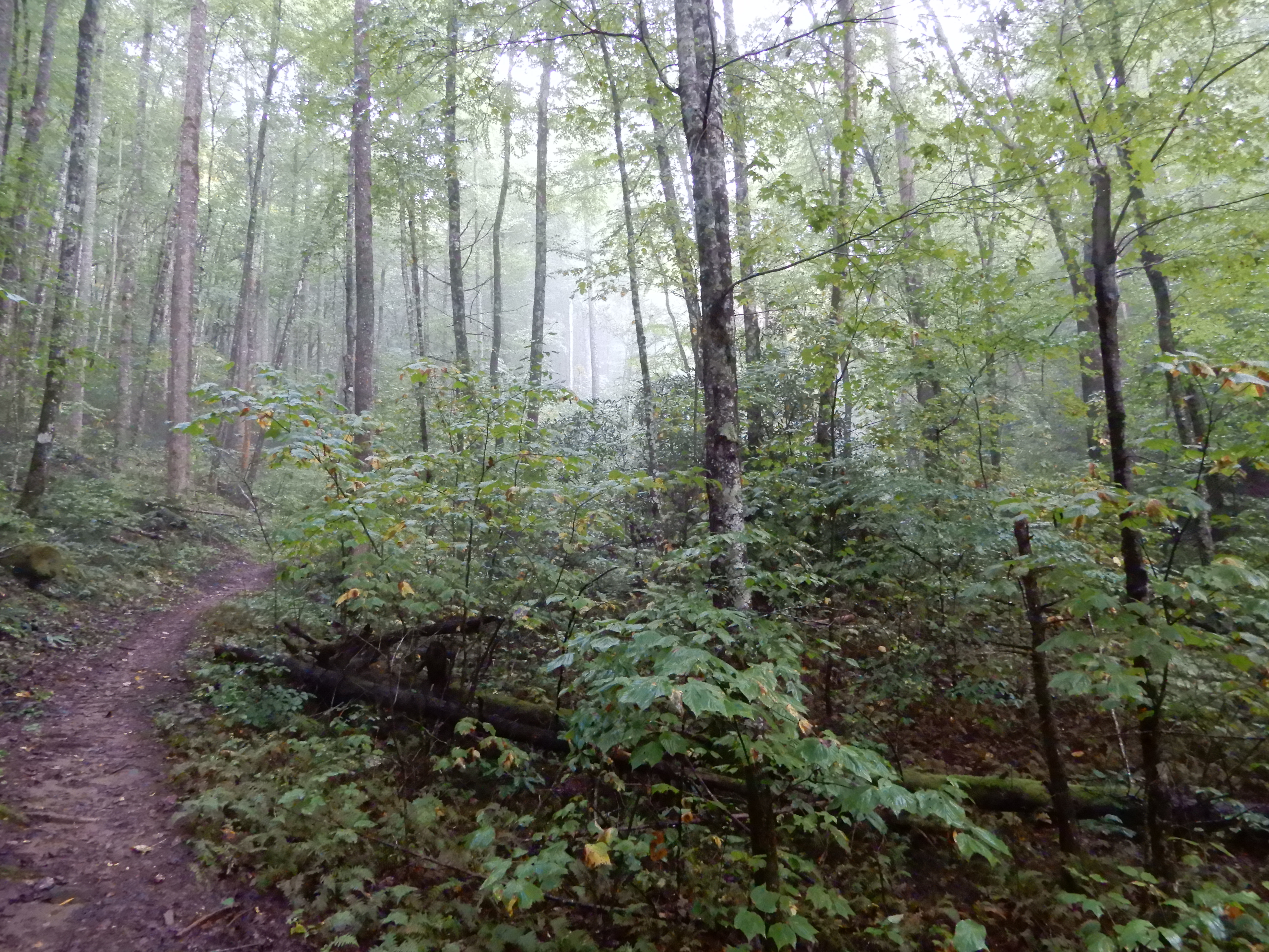
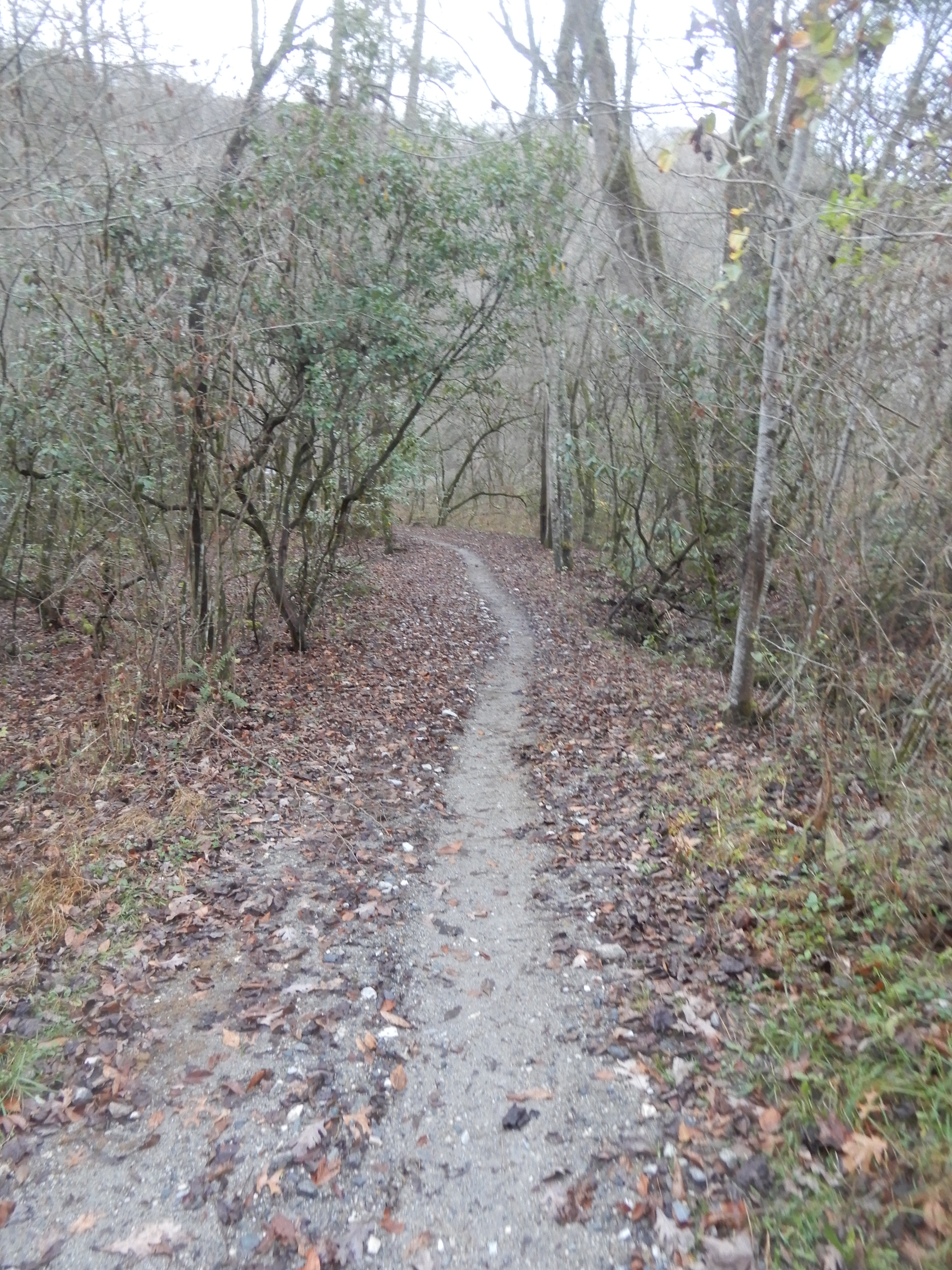
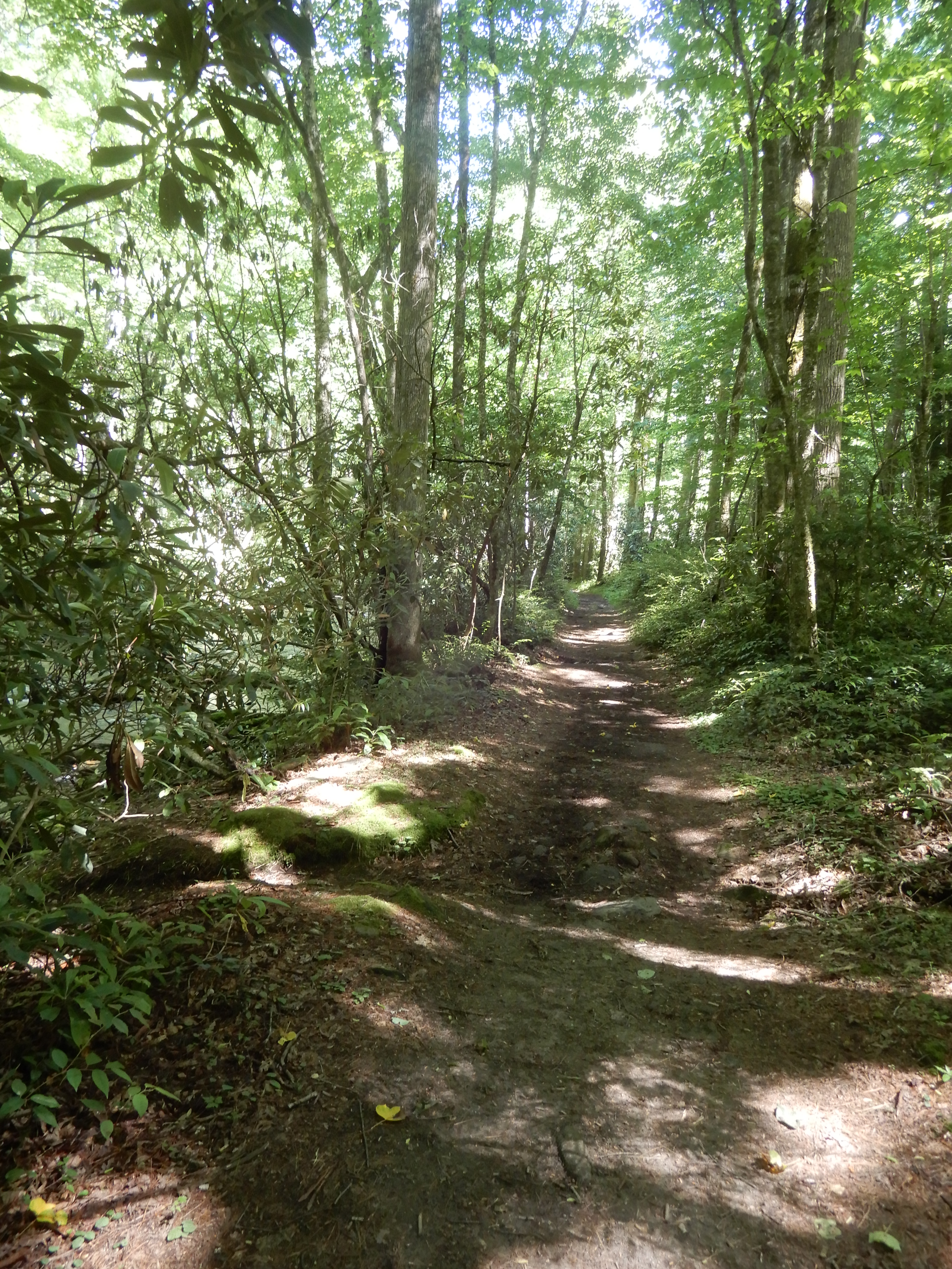
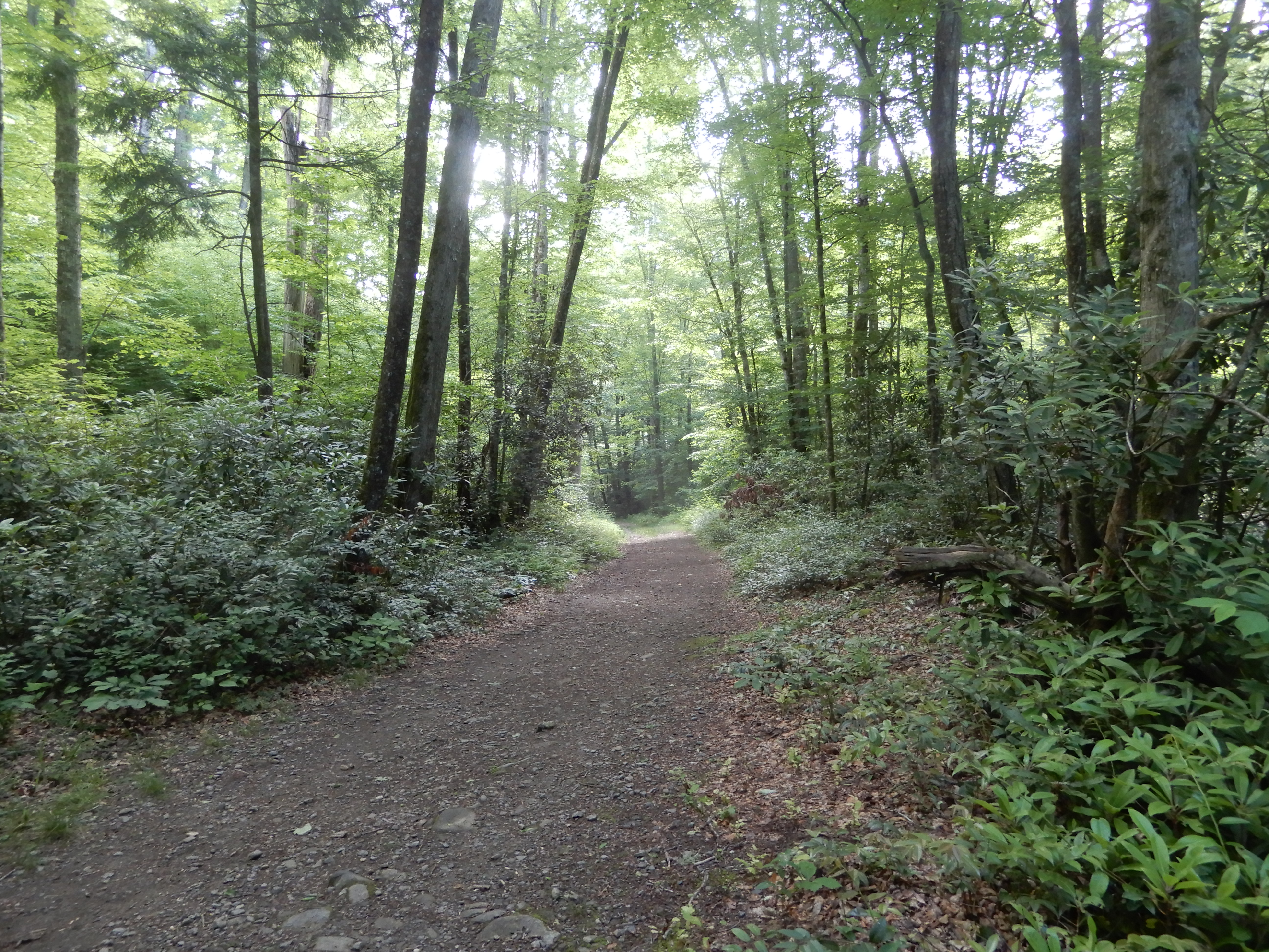
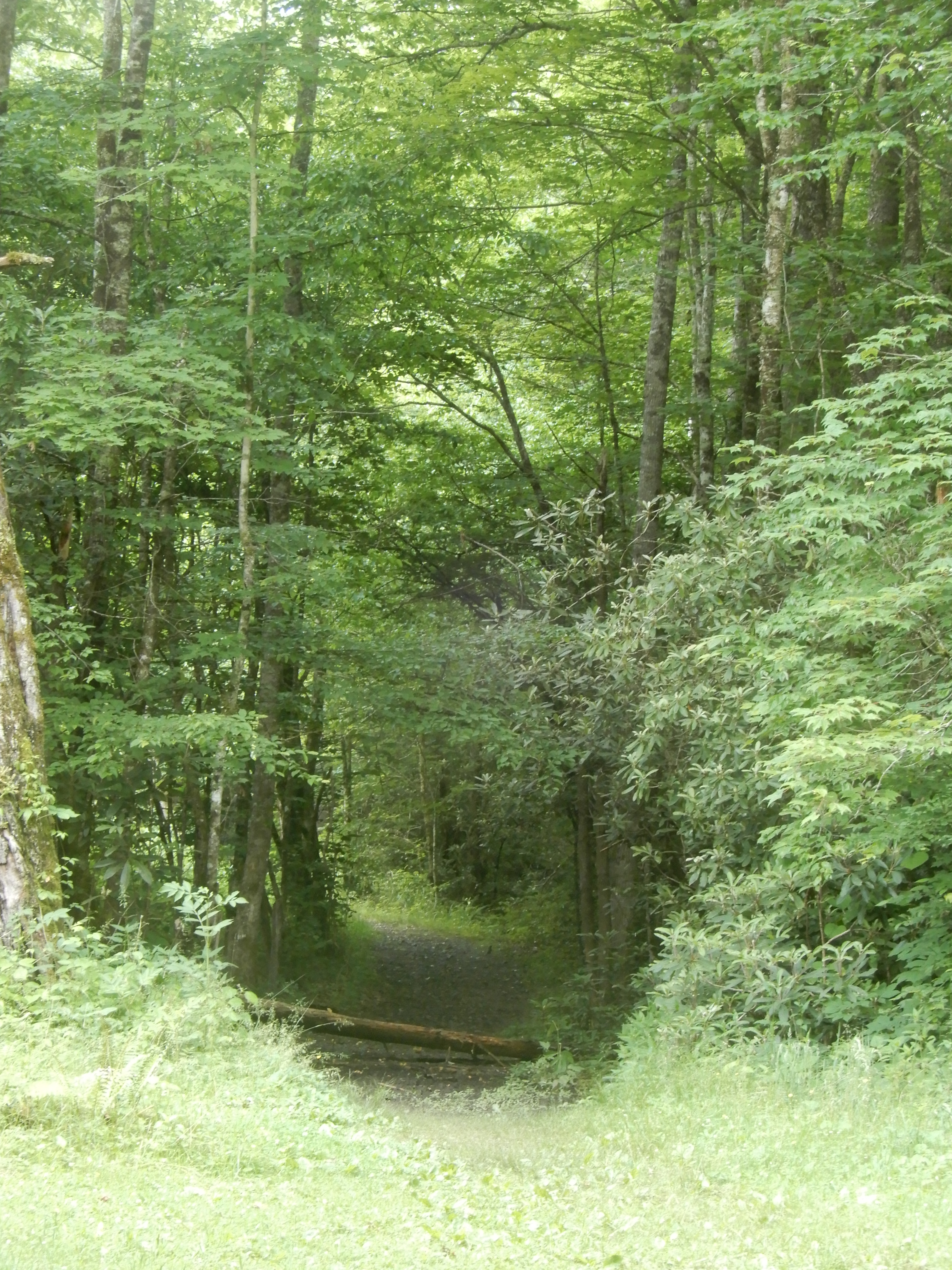
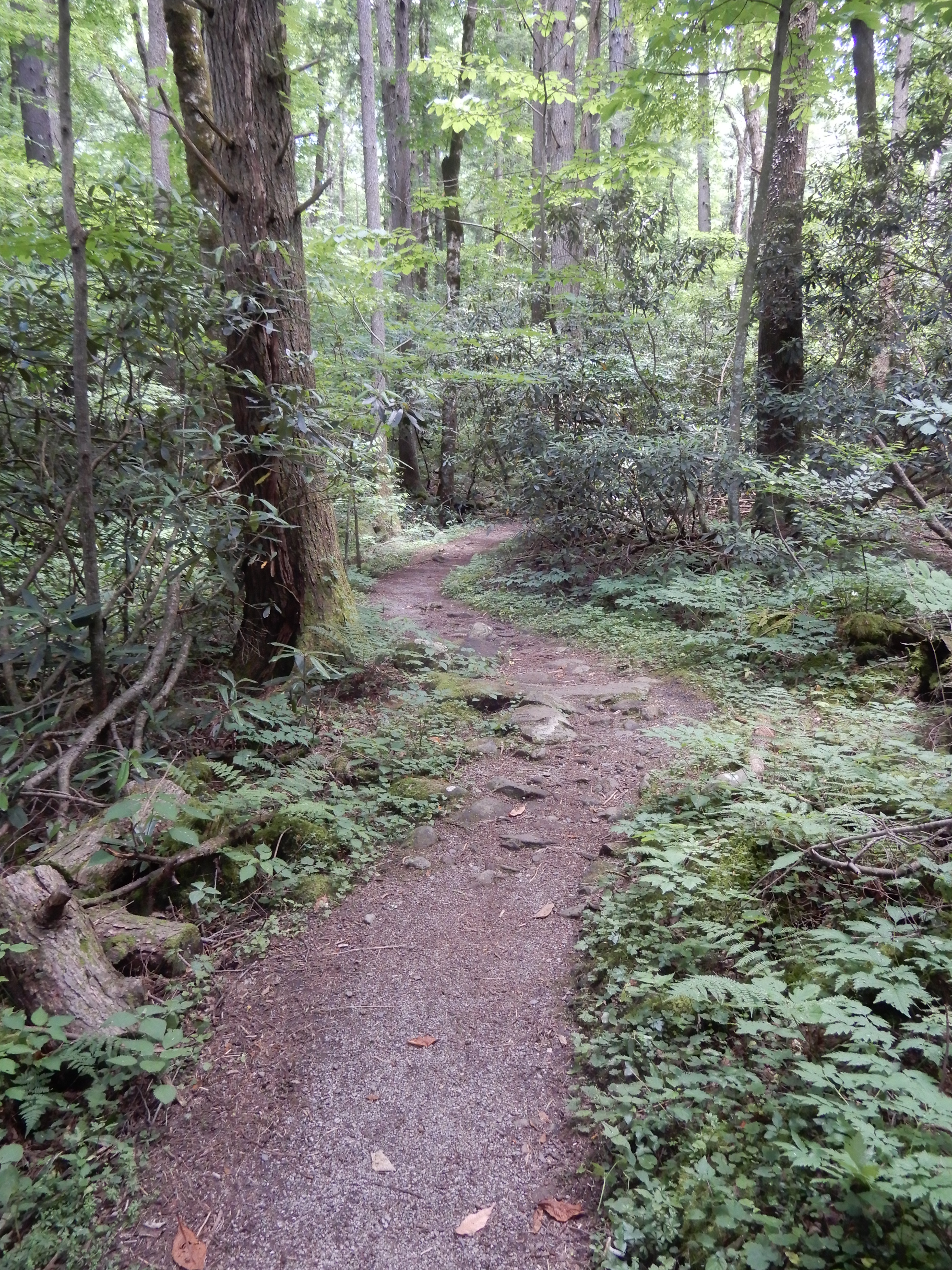
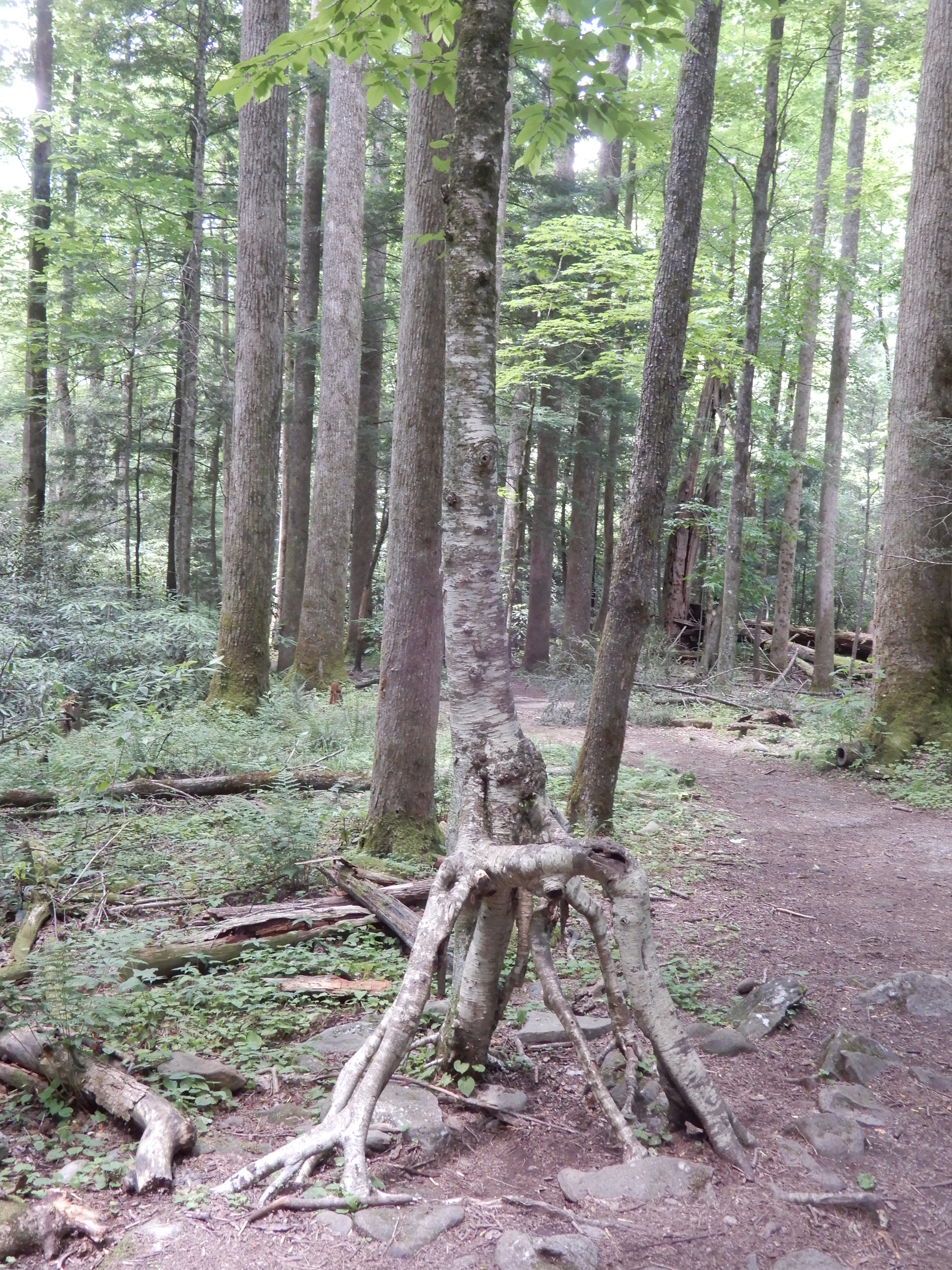
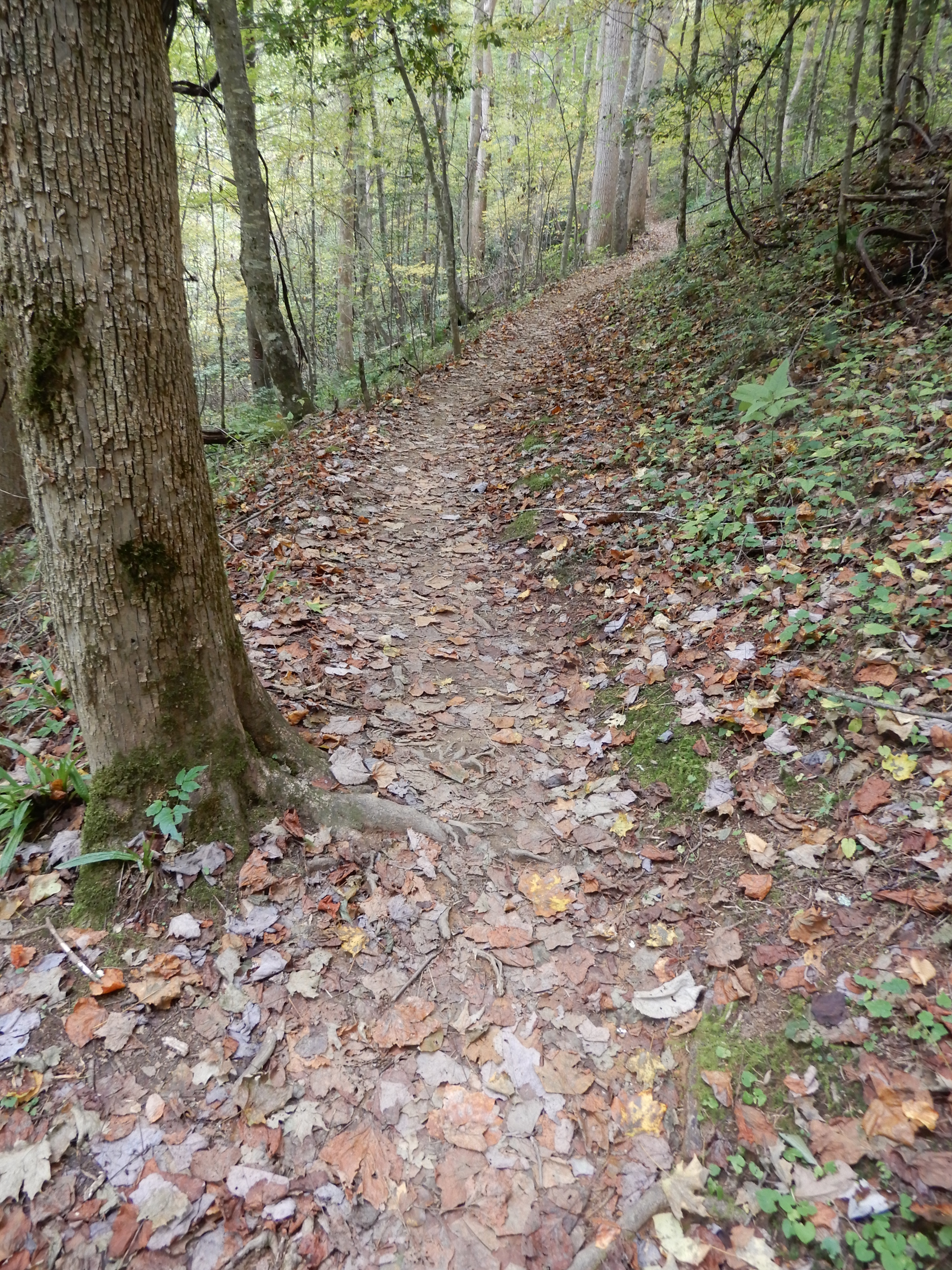
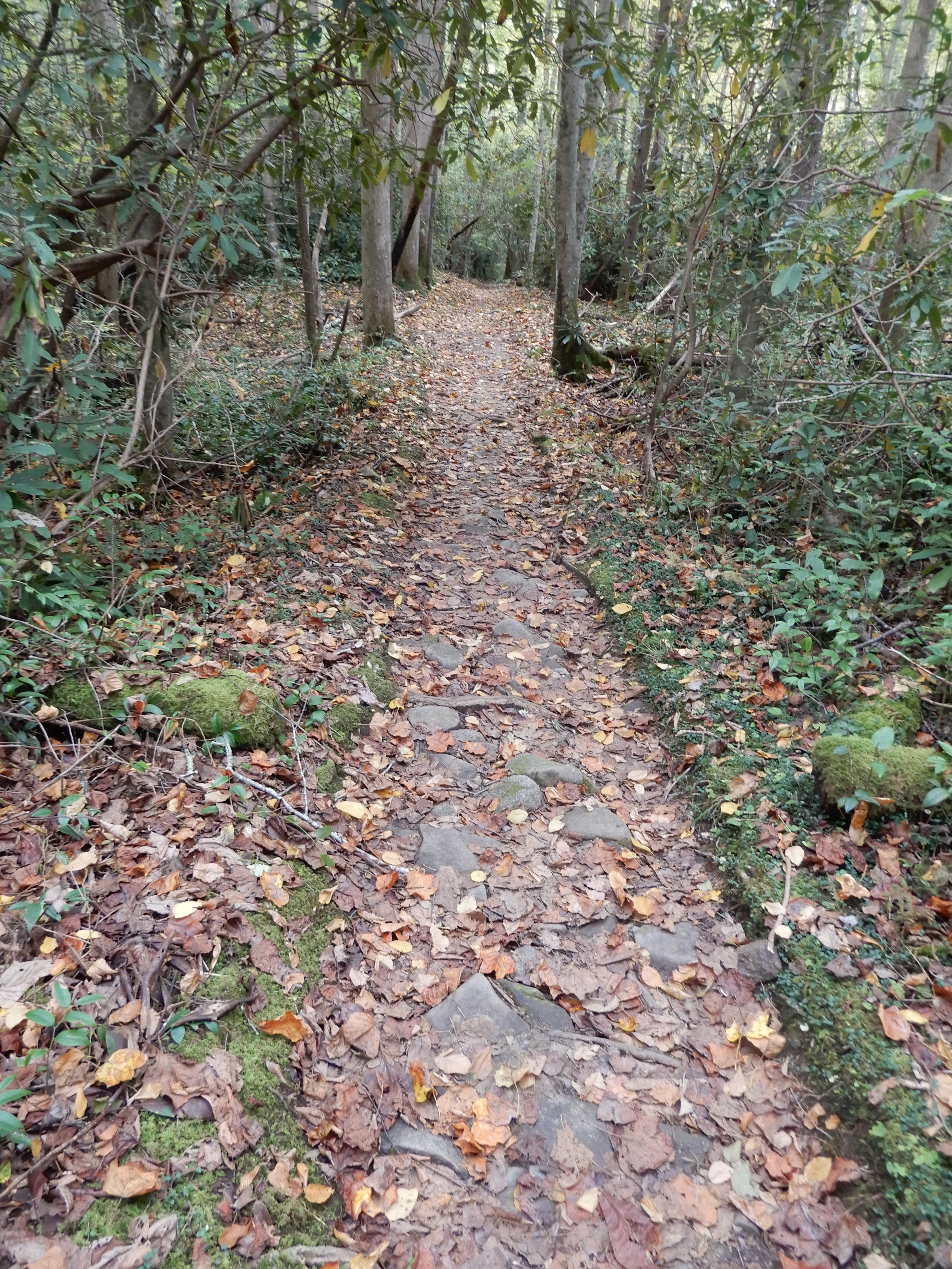
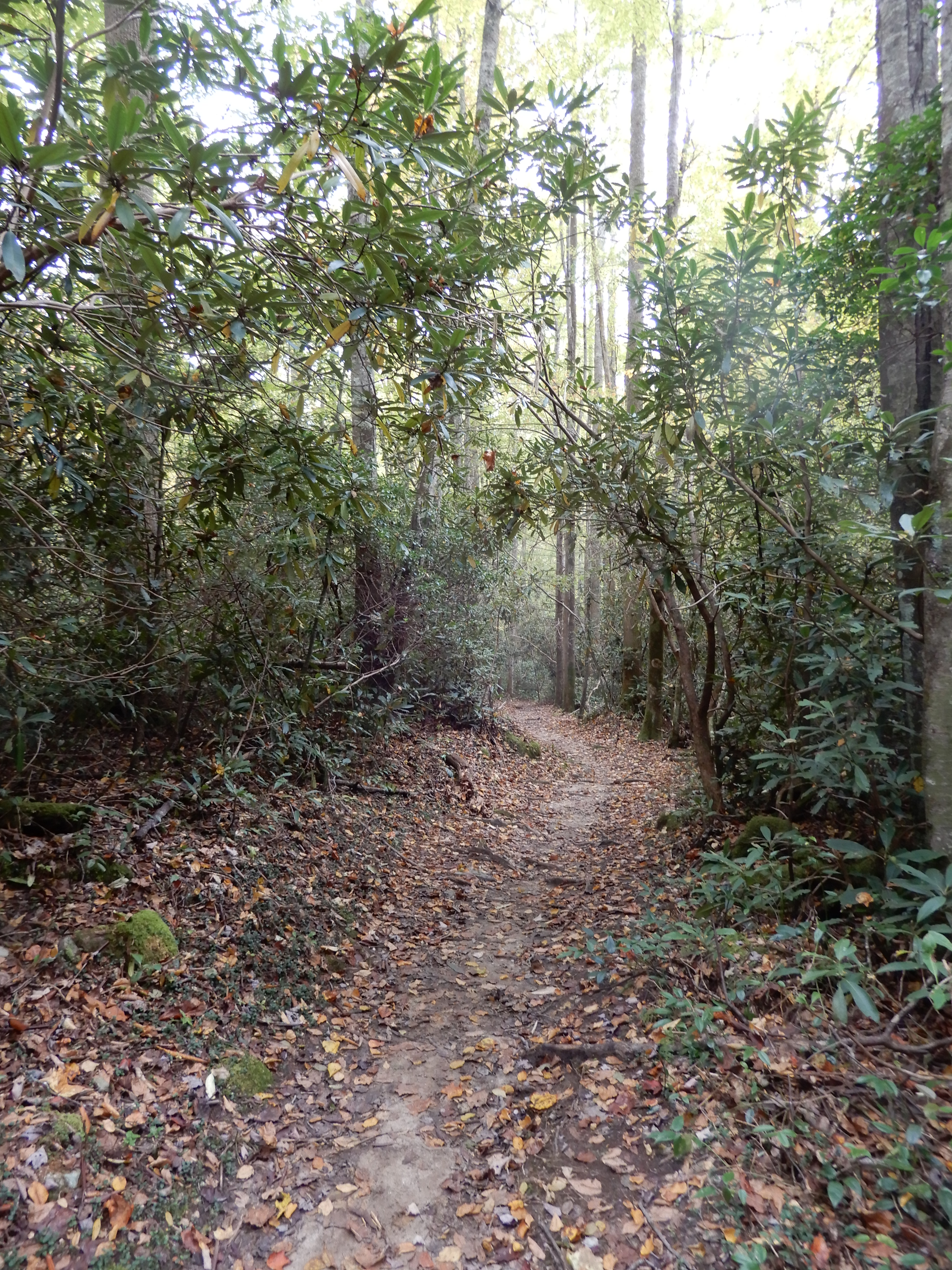
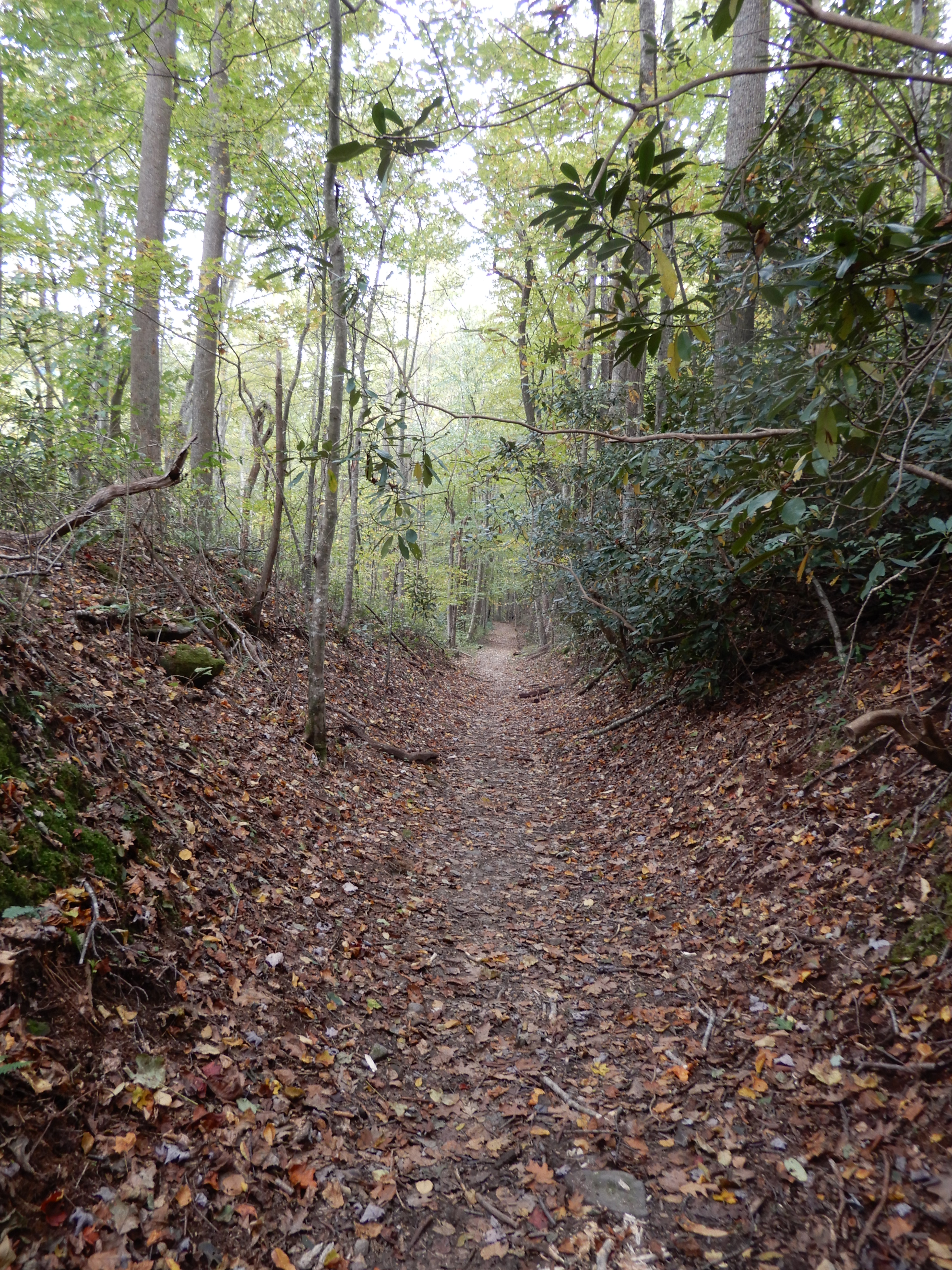
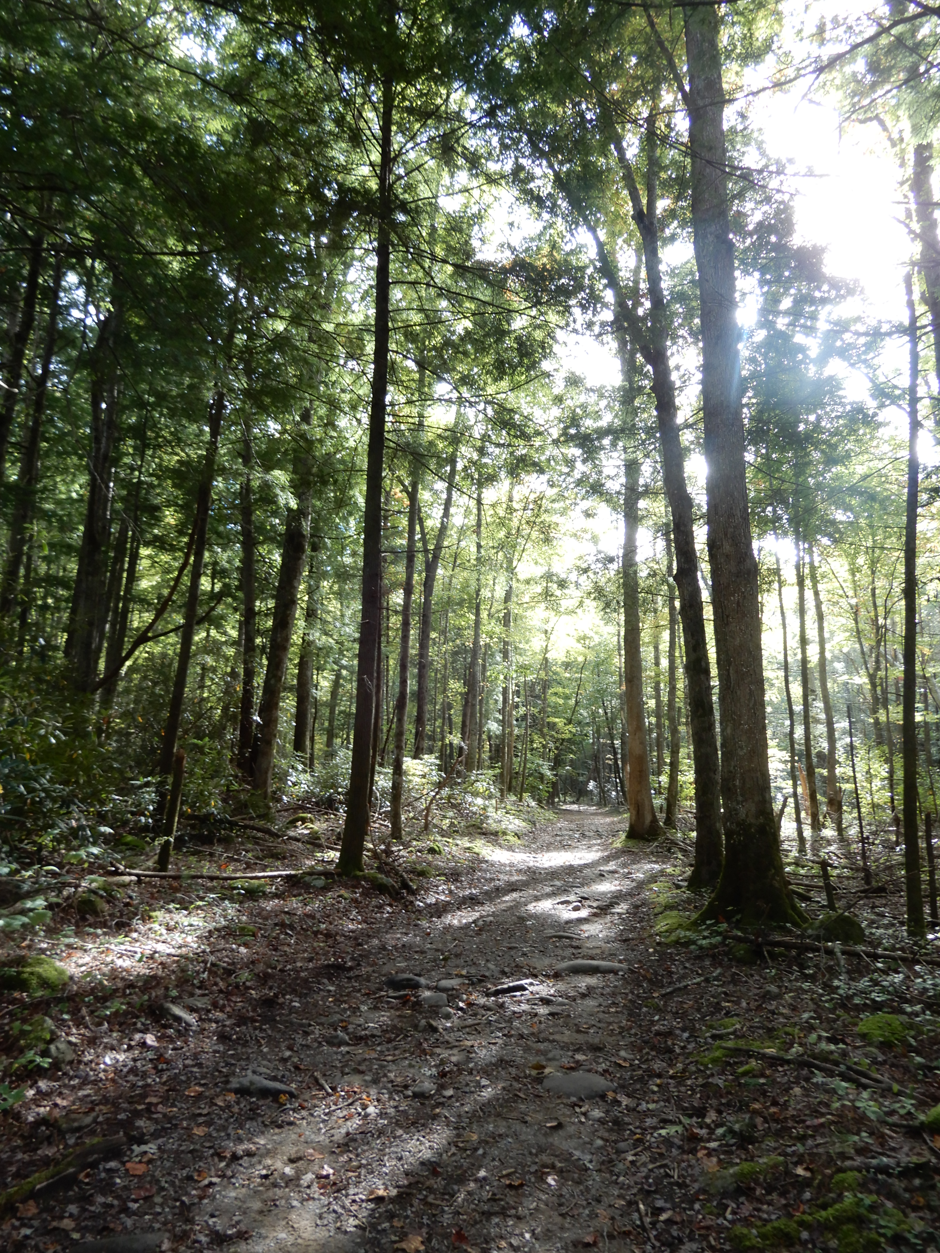
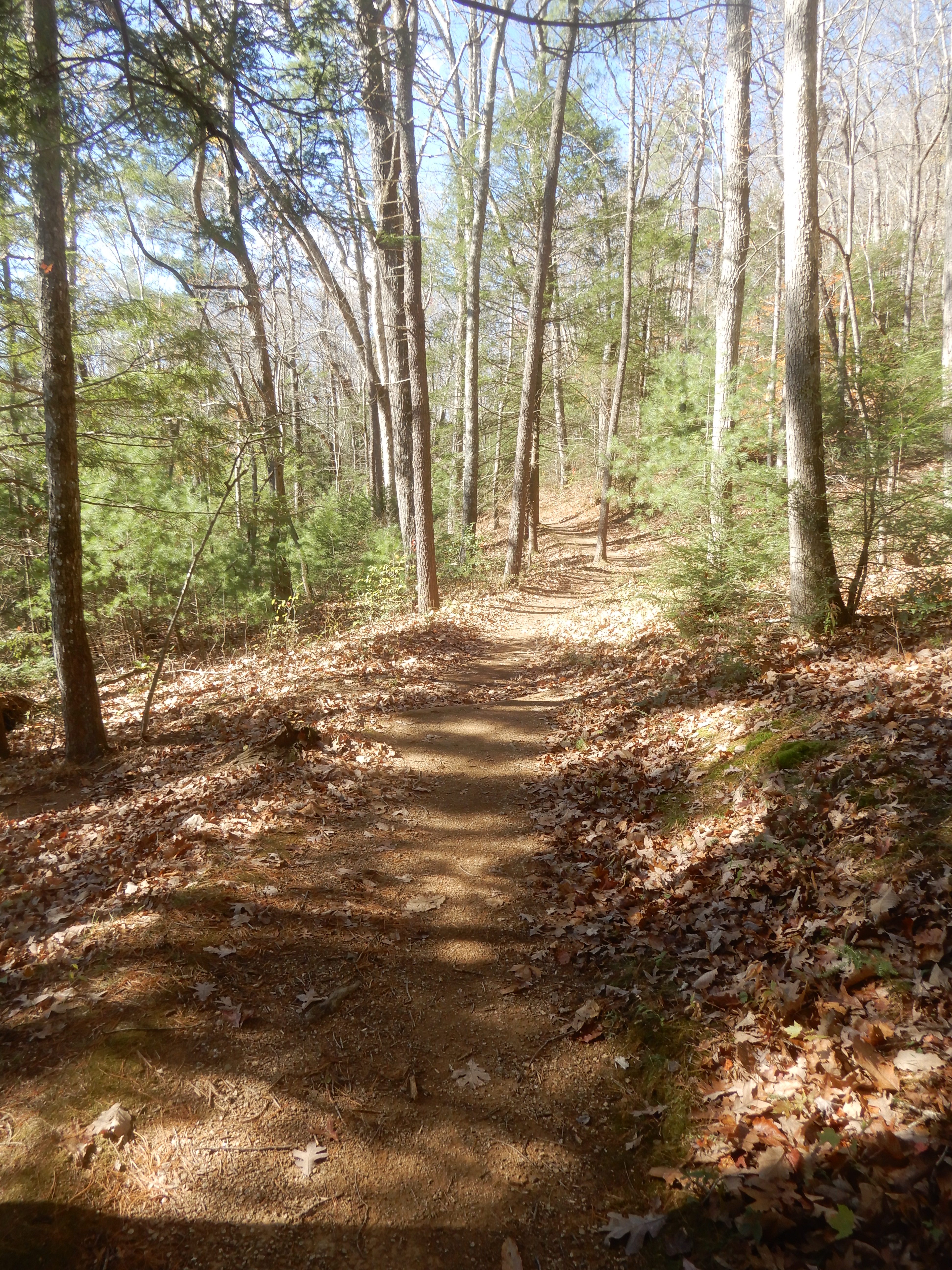
Later that day we hiked the Cosby Nature Trail, which was the most scenic nature trail I’d ever been on. It was like walking through an enchanted forest.
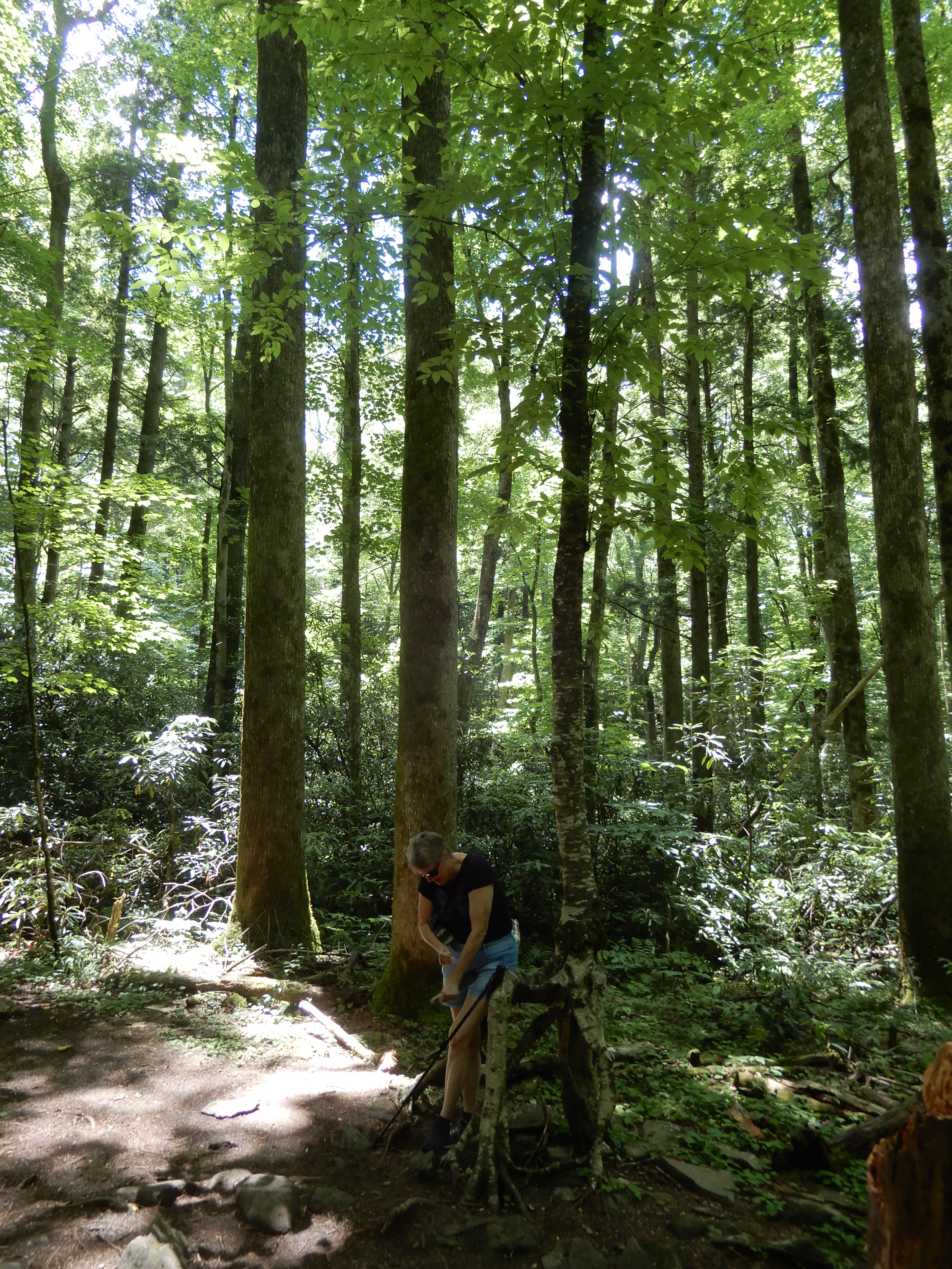
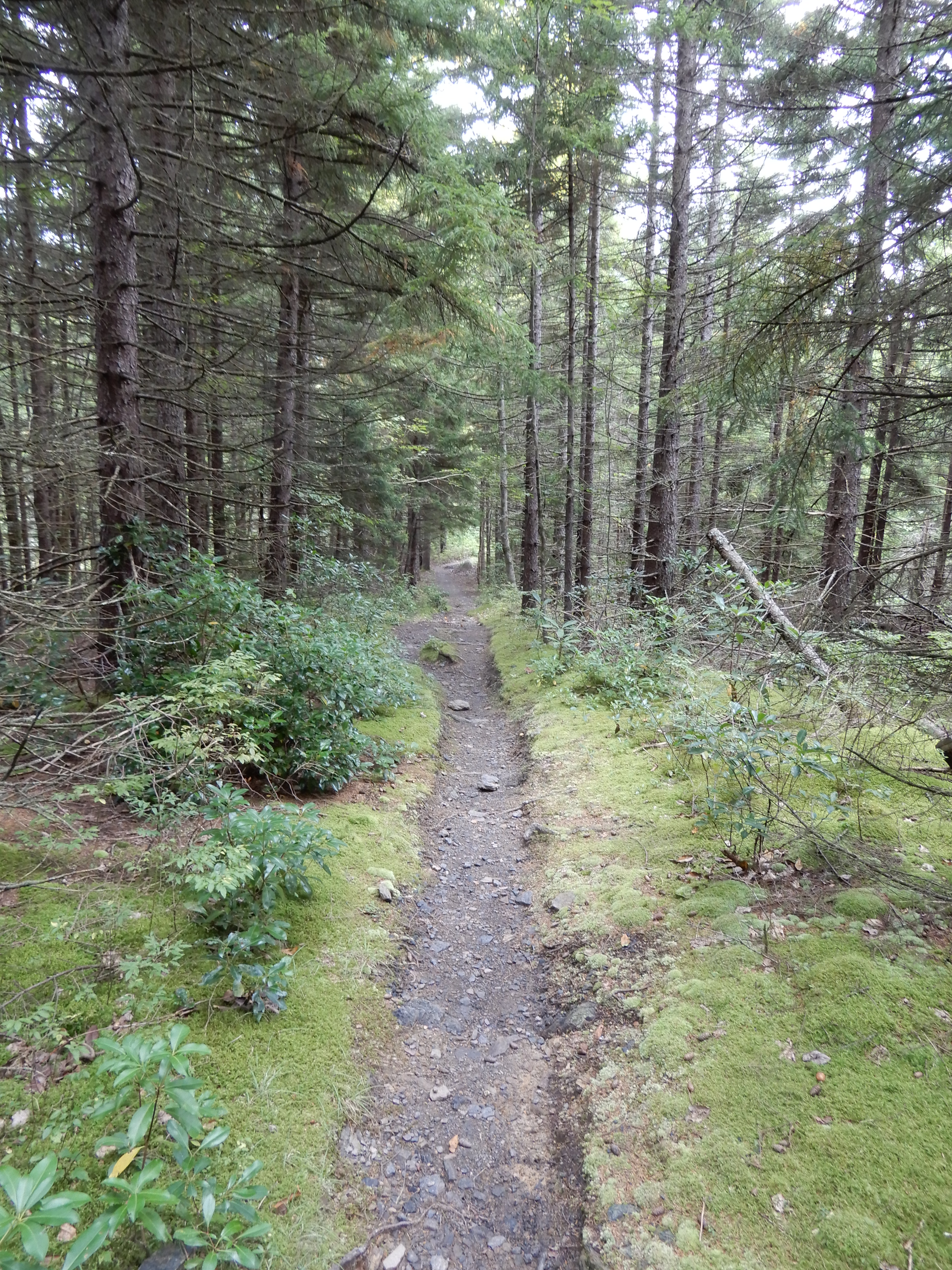
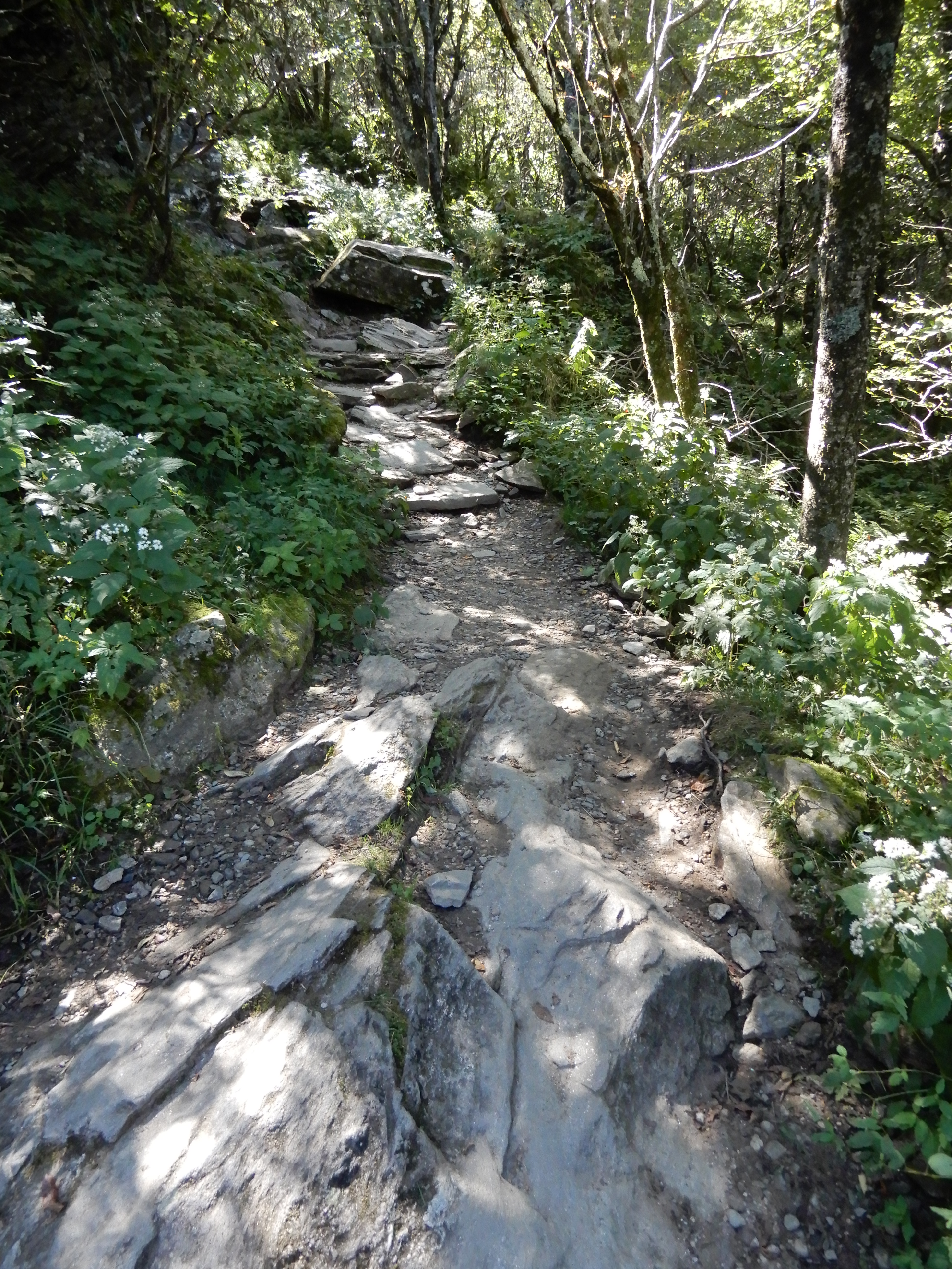
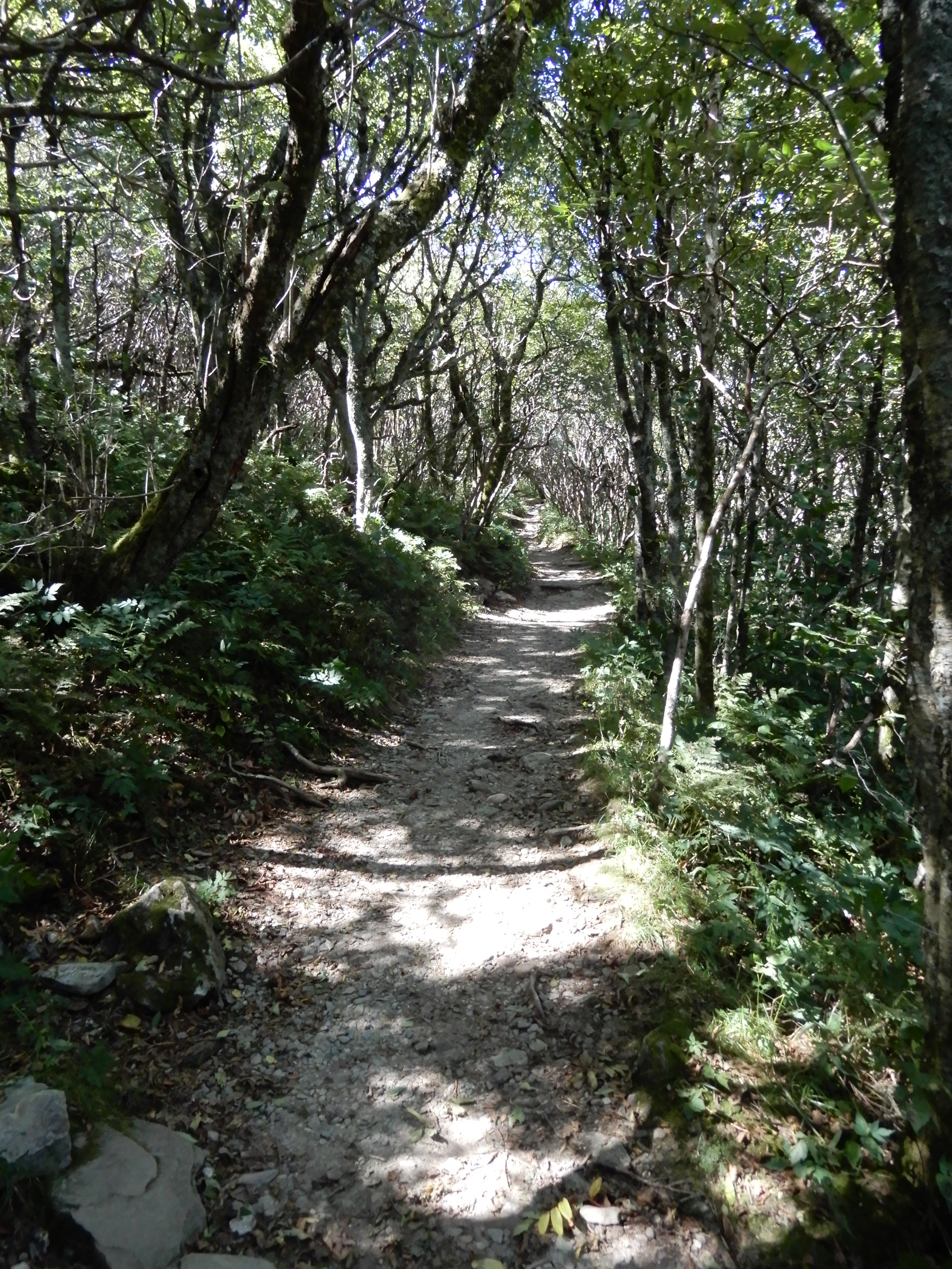
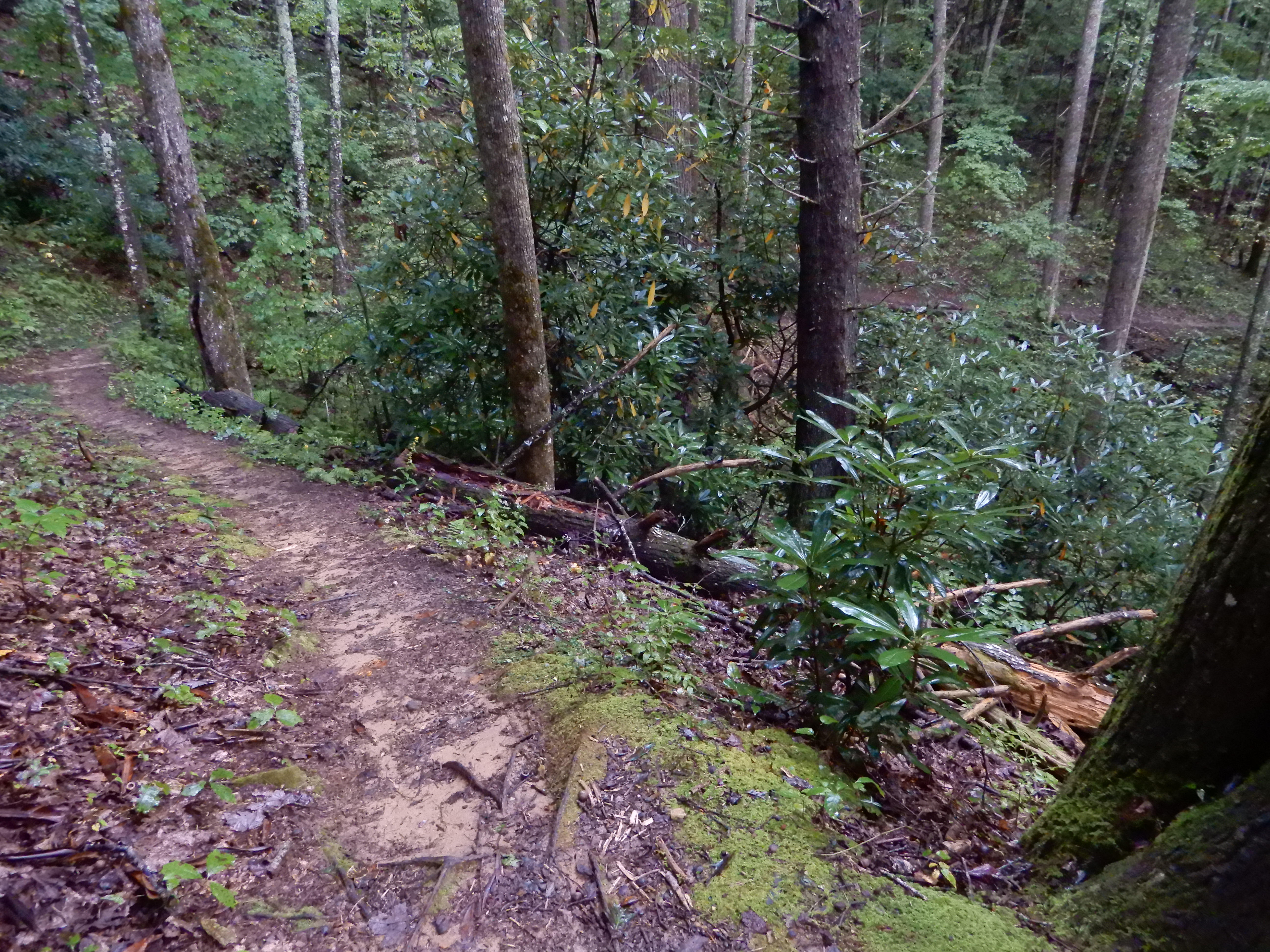
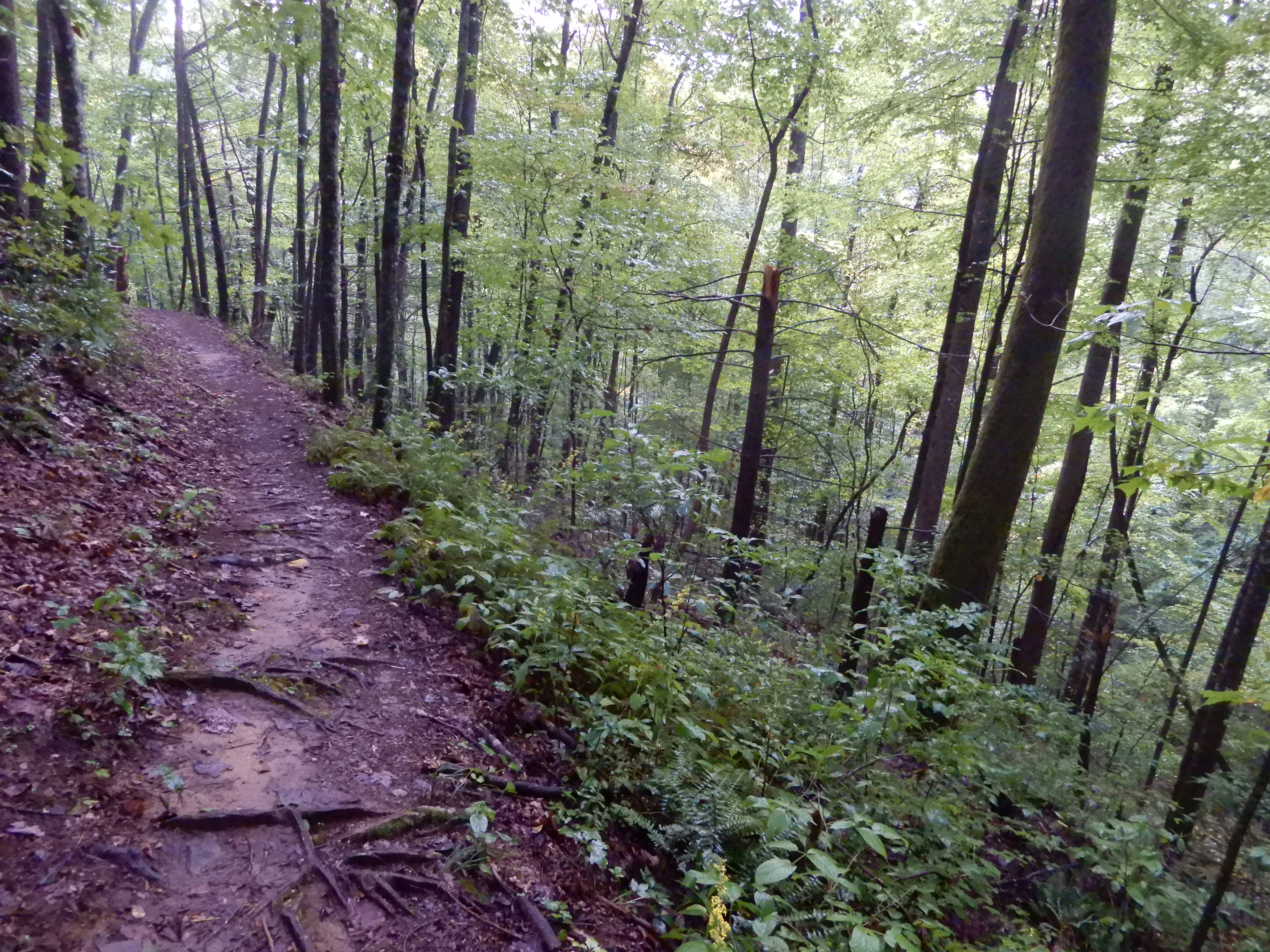
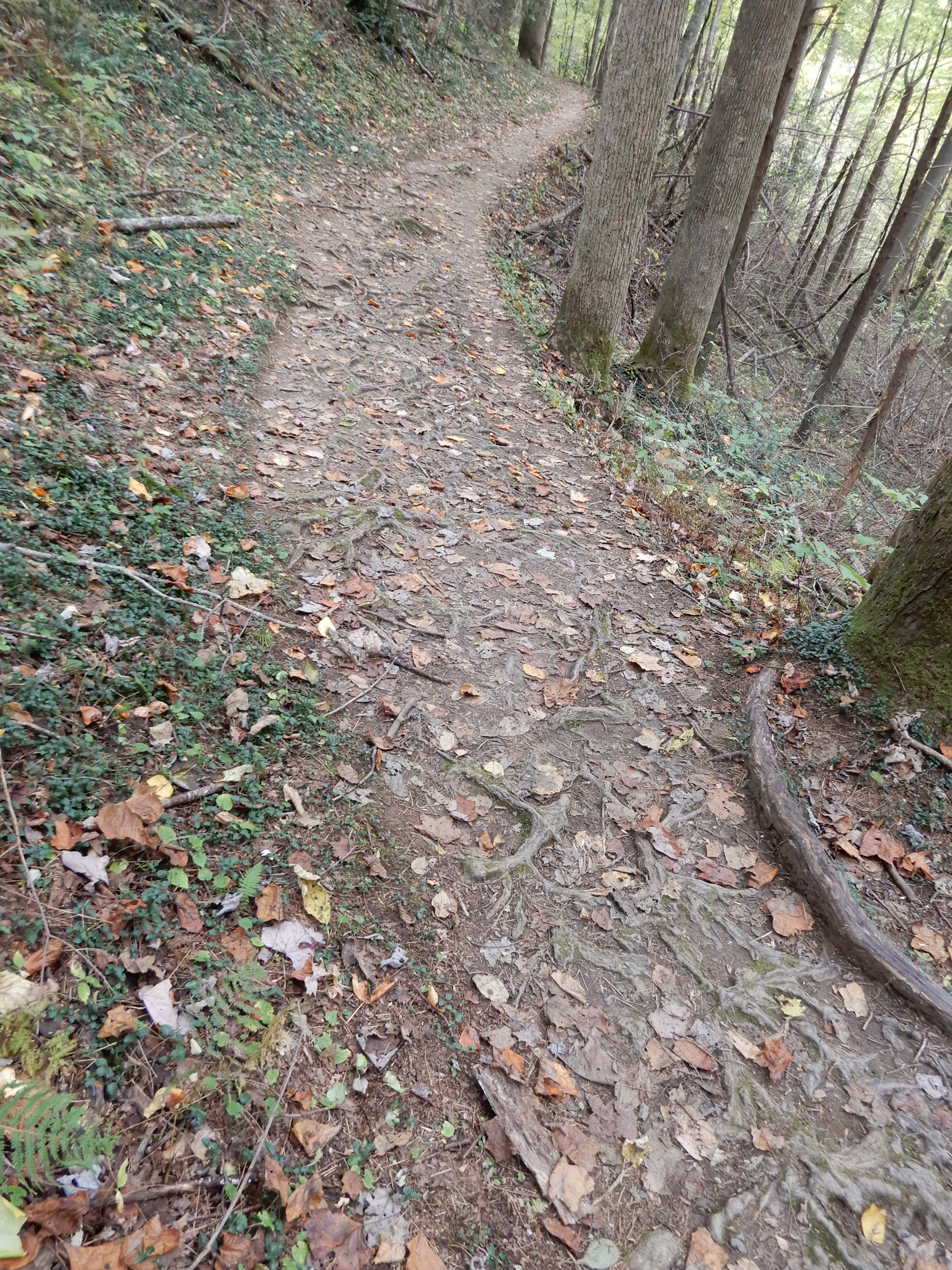
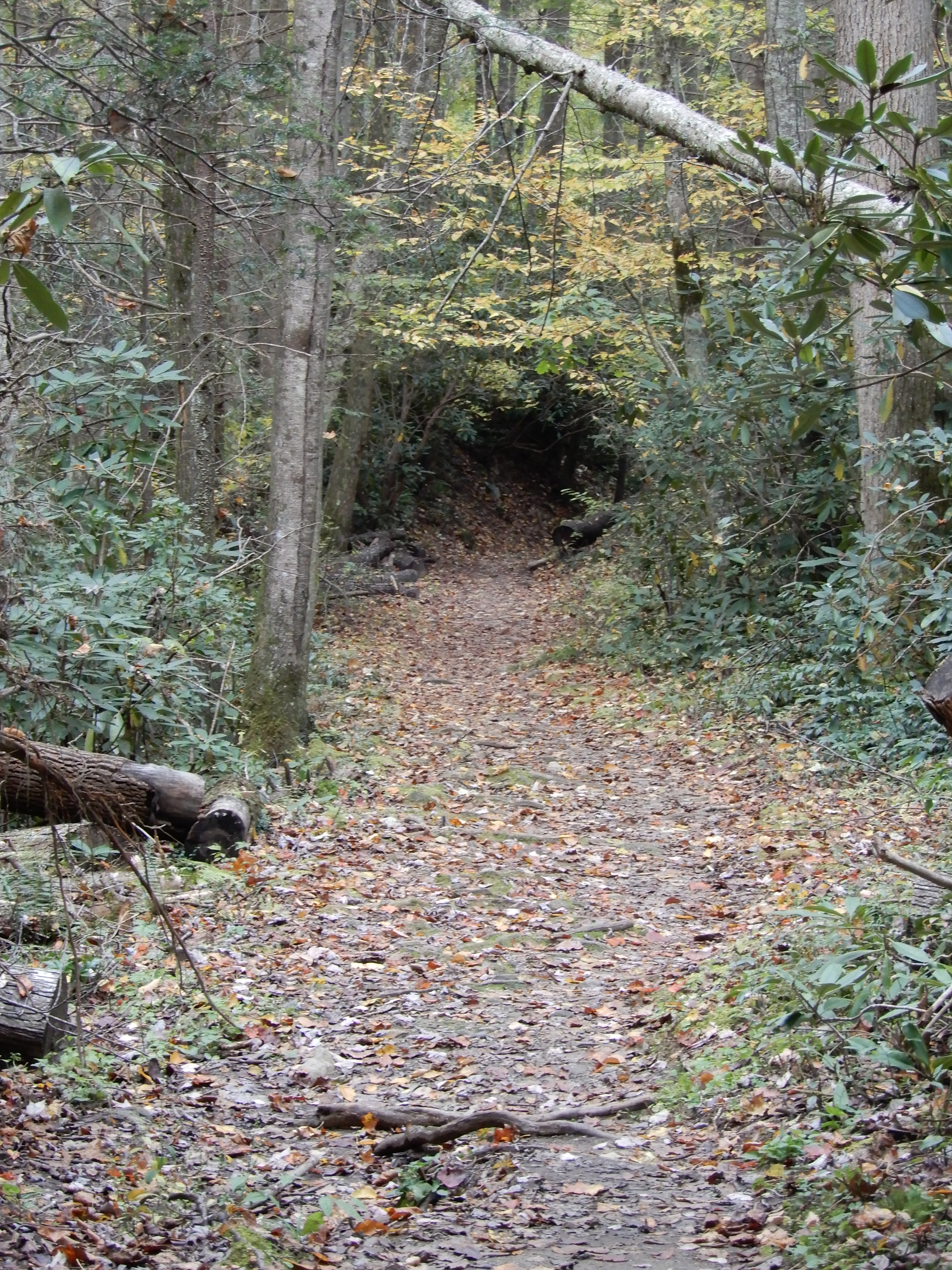
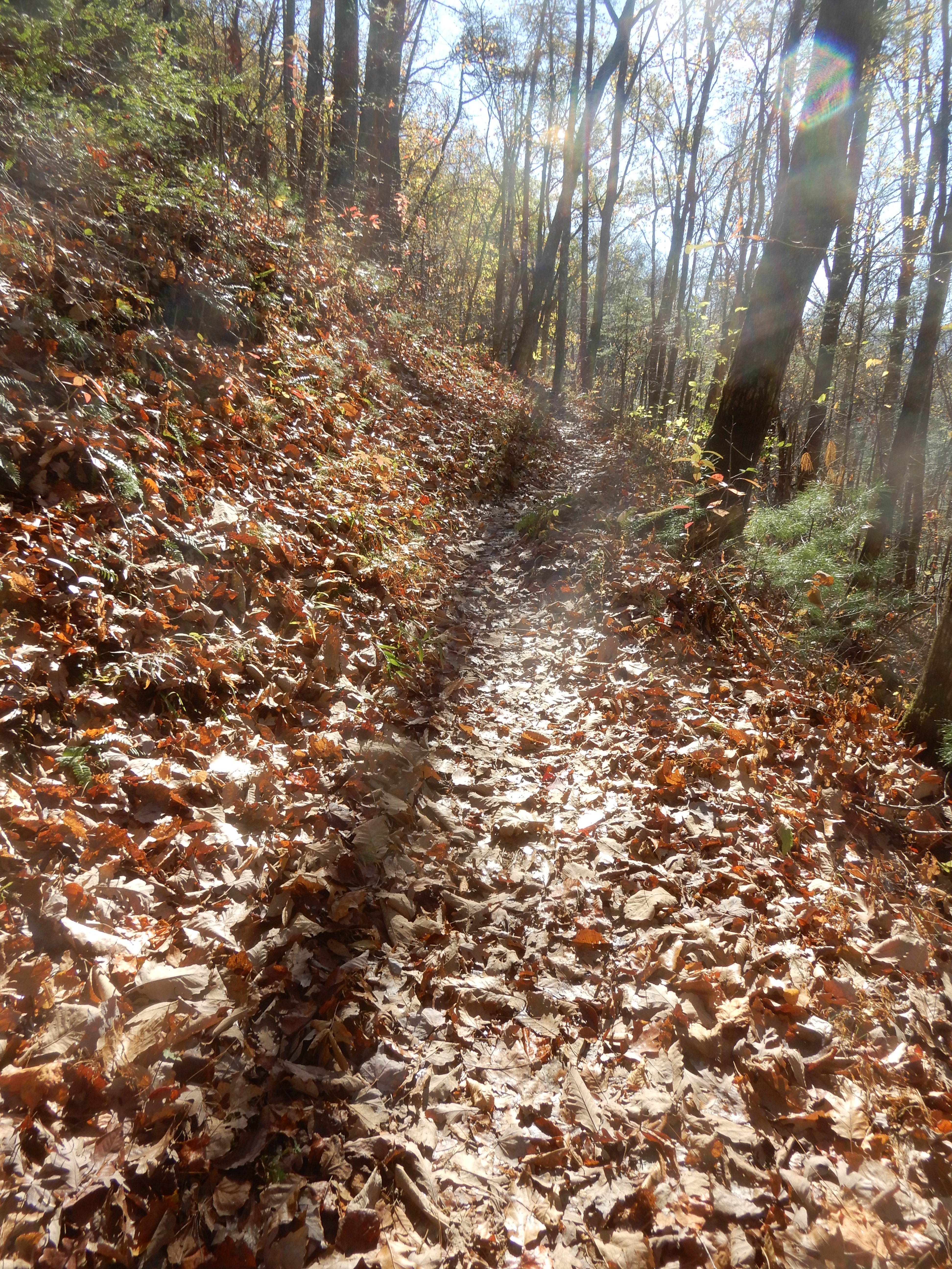
I took another hike on my own that was a bit more rugged.
It gained some altitude.
By the time I got back to the motor home I was worn out. So we relaxed at the site the rest of the day. The next day we took a side trip on one of the many narrow blacktop roads feeding off 321 into the park. I think it was Laurel Springs Road.
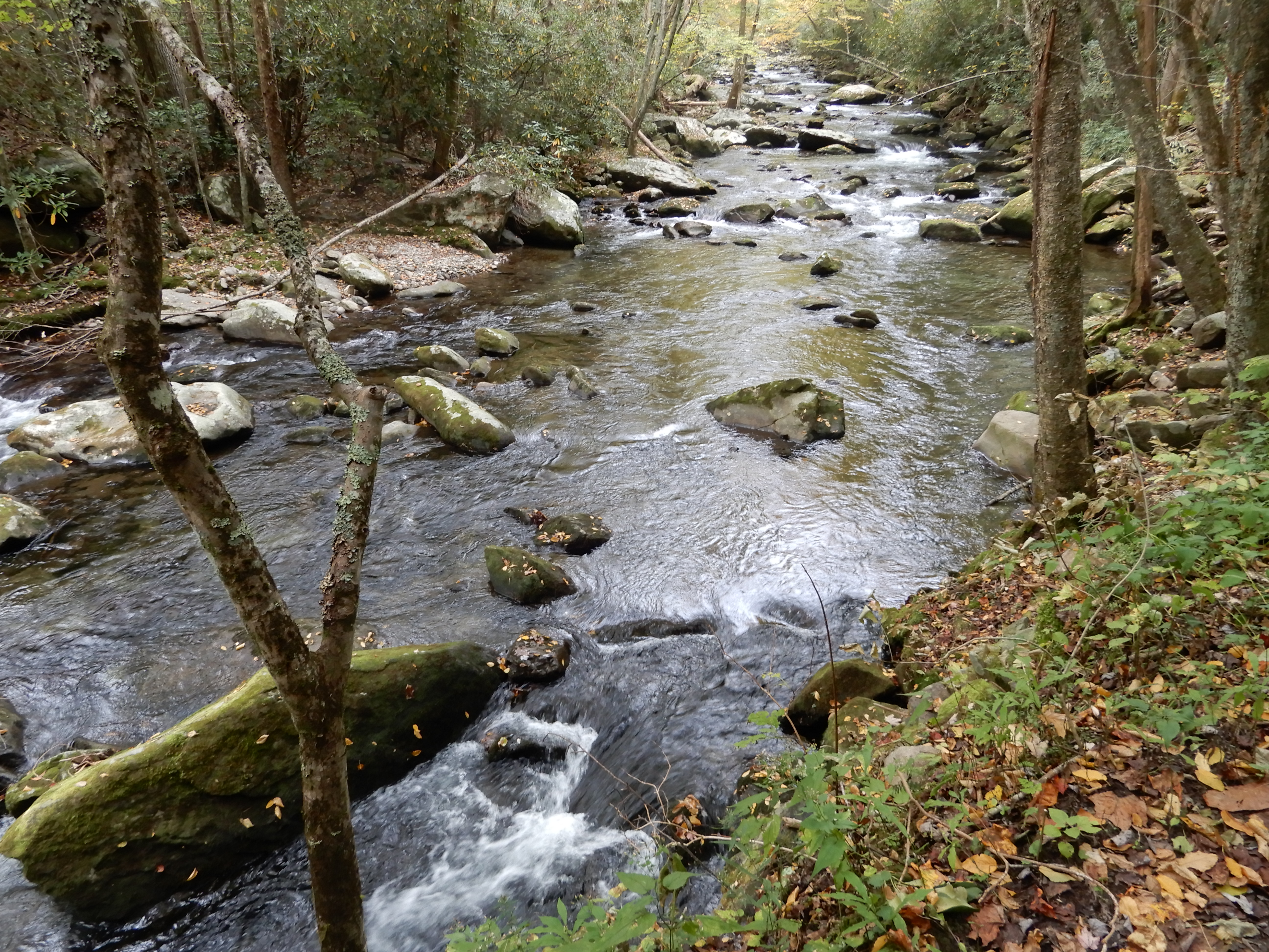
It had been raining a lot last night and that morning, so the creek the road followed was raging.
Since it was so muddy and sloppy, we didn’t hike on any trails there, we merely did some auto touring. After, we returned to our site in Cosby Campground.
American Locations 22: Elkmont Campground, Smoky Mountains National Park, Tennessee
The next morning we left Cosby campground and drove west on Hwy. 32, which connects to Hwy. 321 and continues along the northern boundary of the park to Gatlinburg. We reentered the park there and set up in Elkmont Campground.
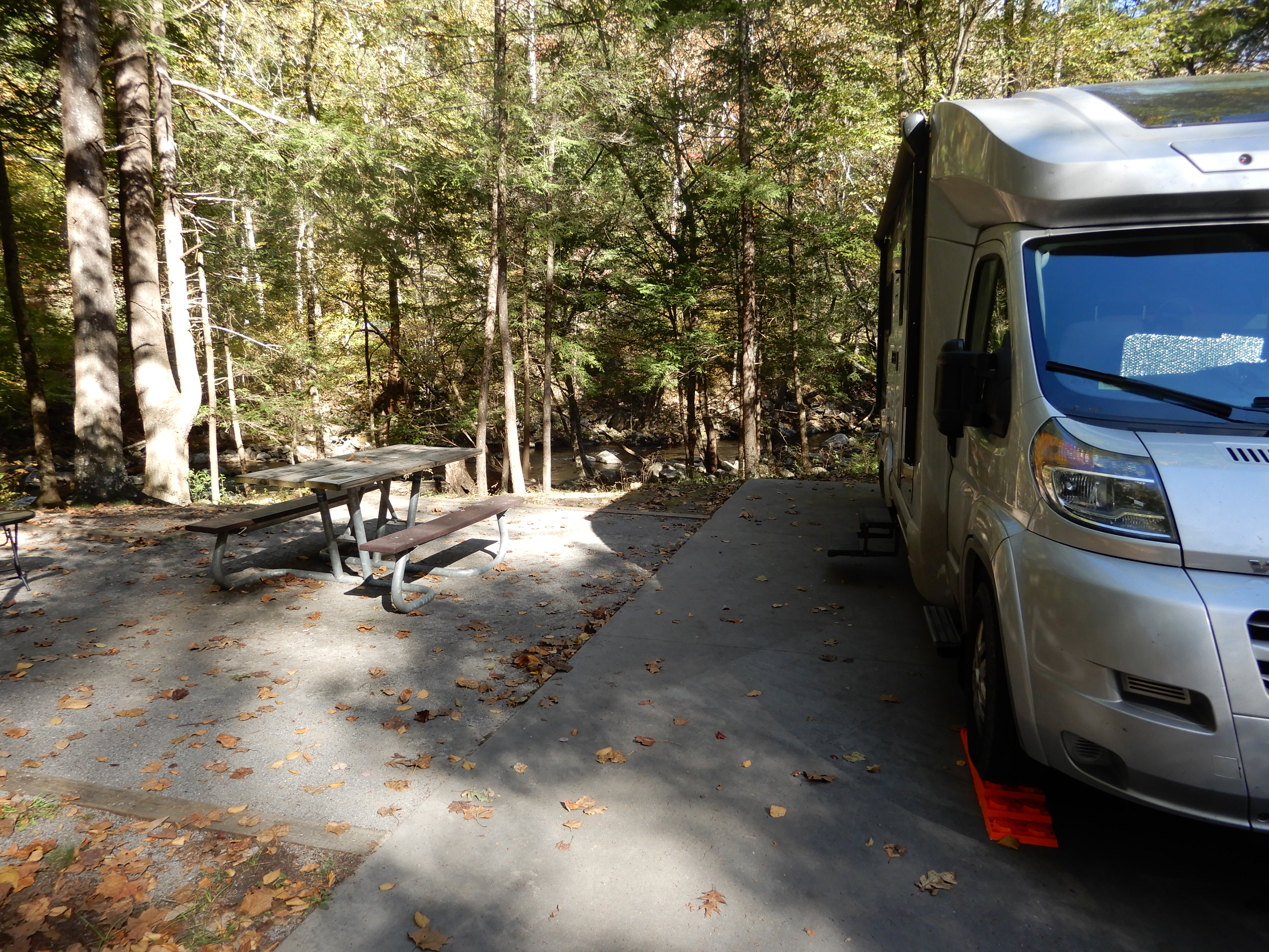
We had a very nice site on a creek.
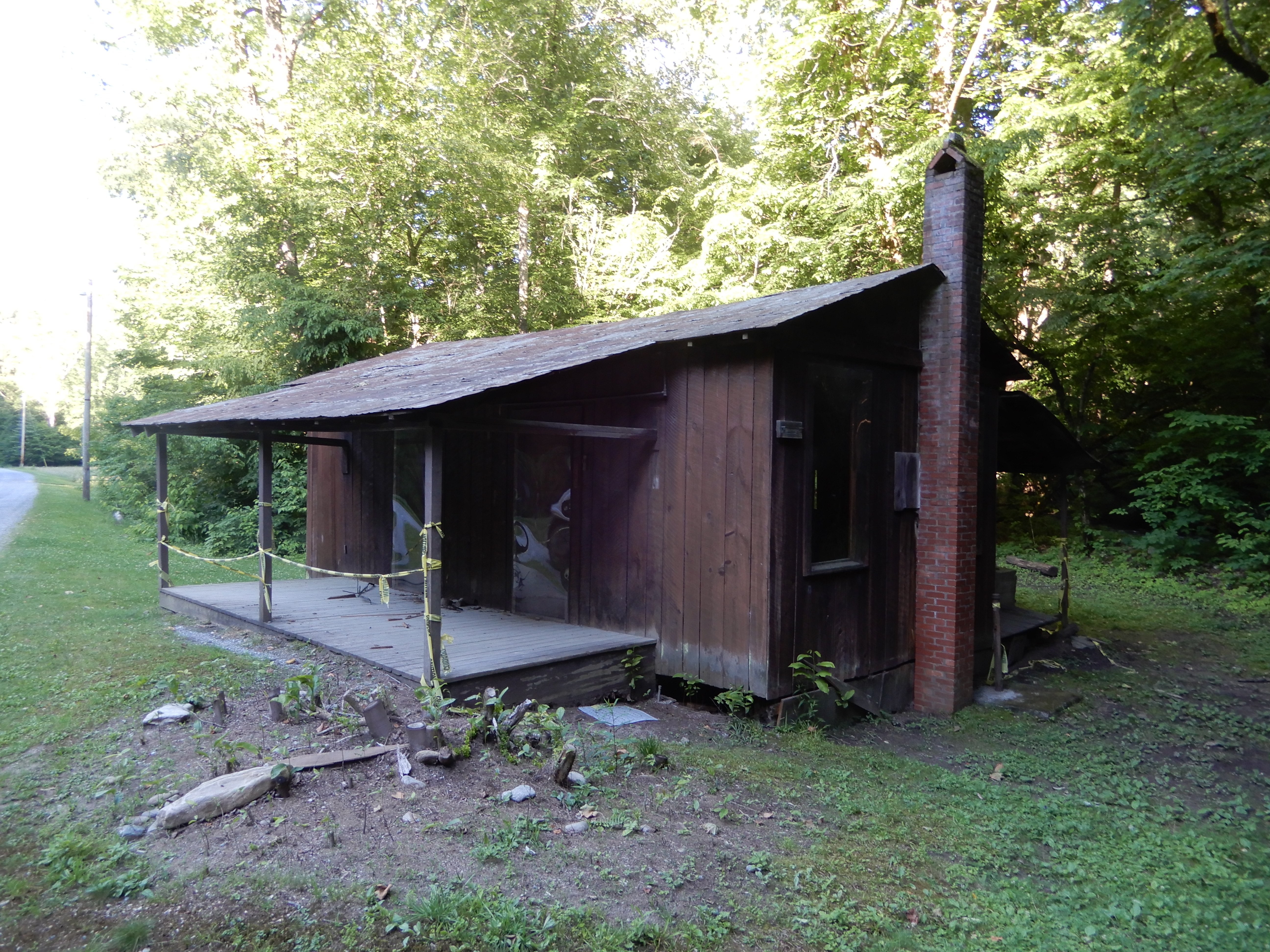
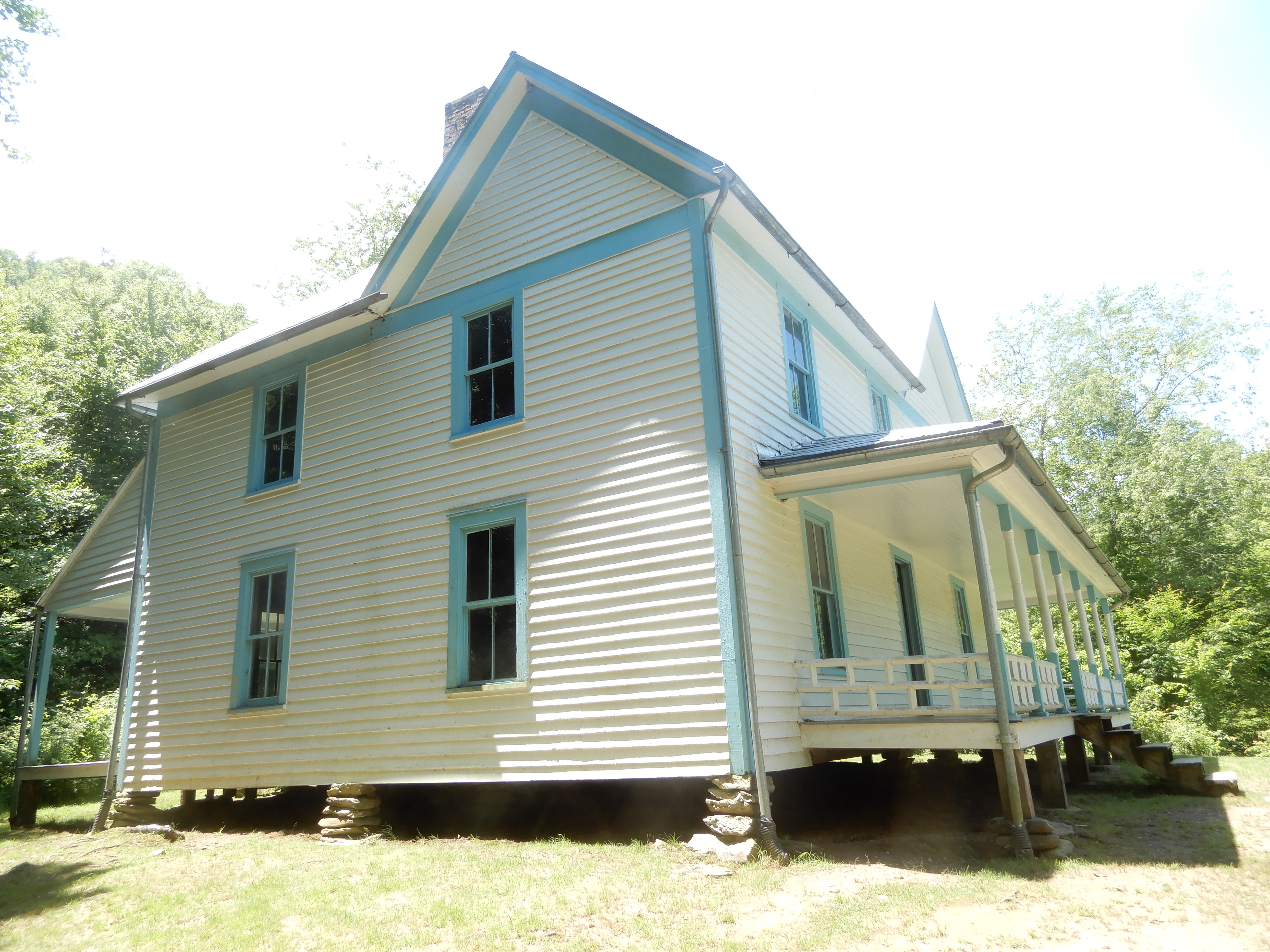
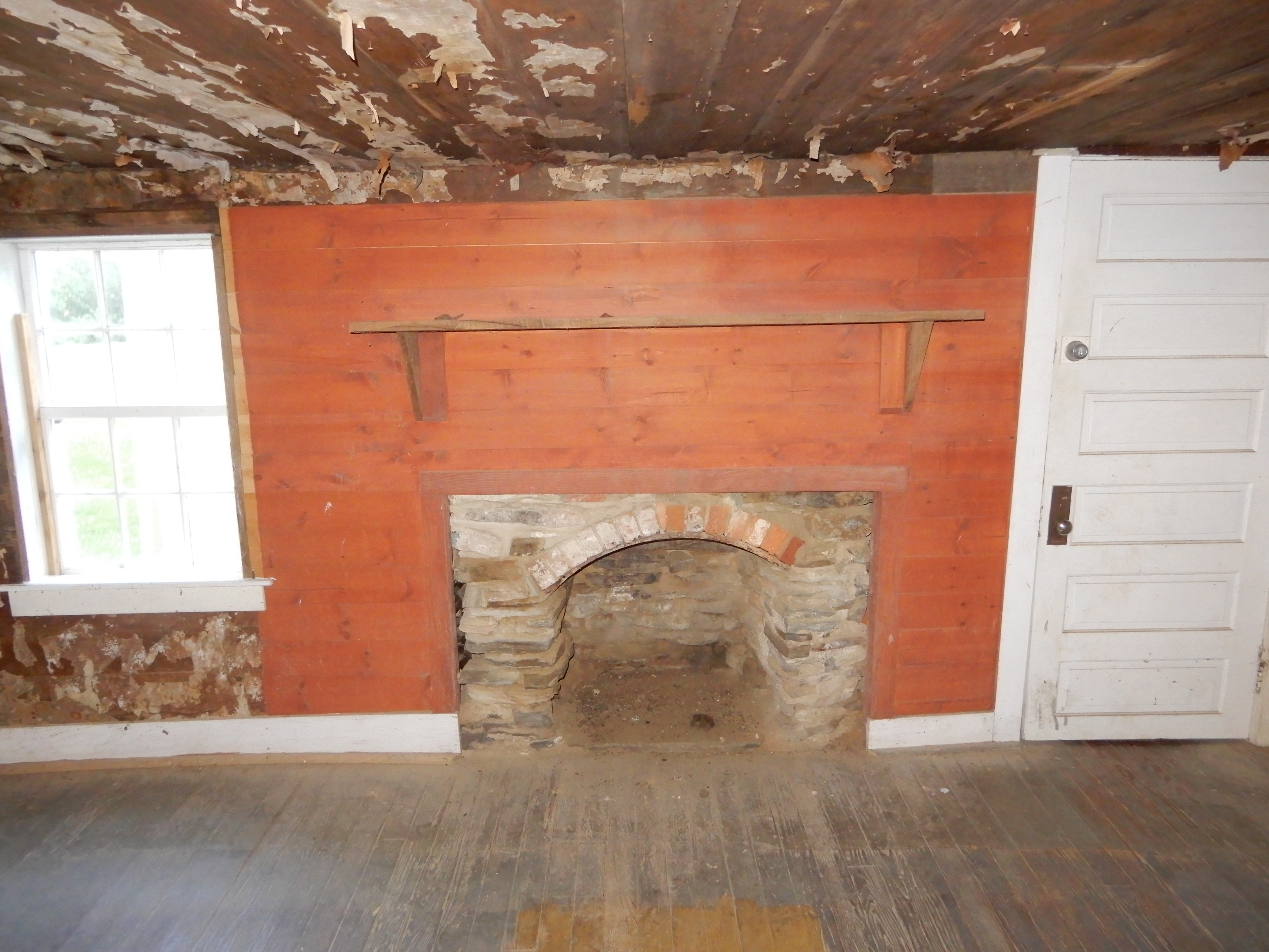
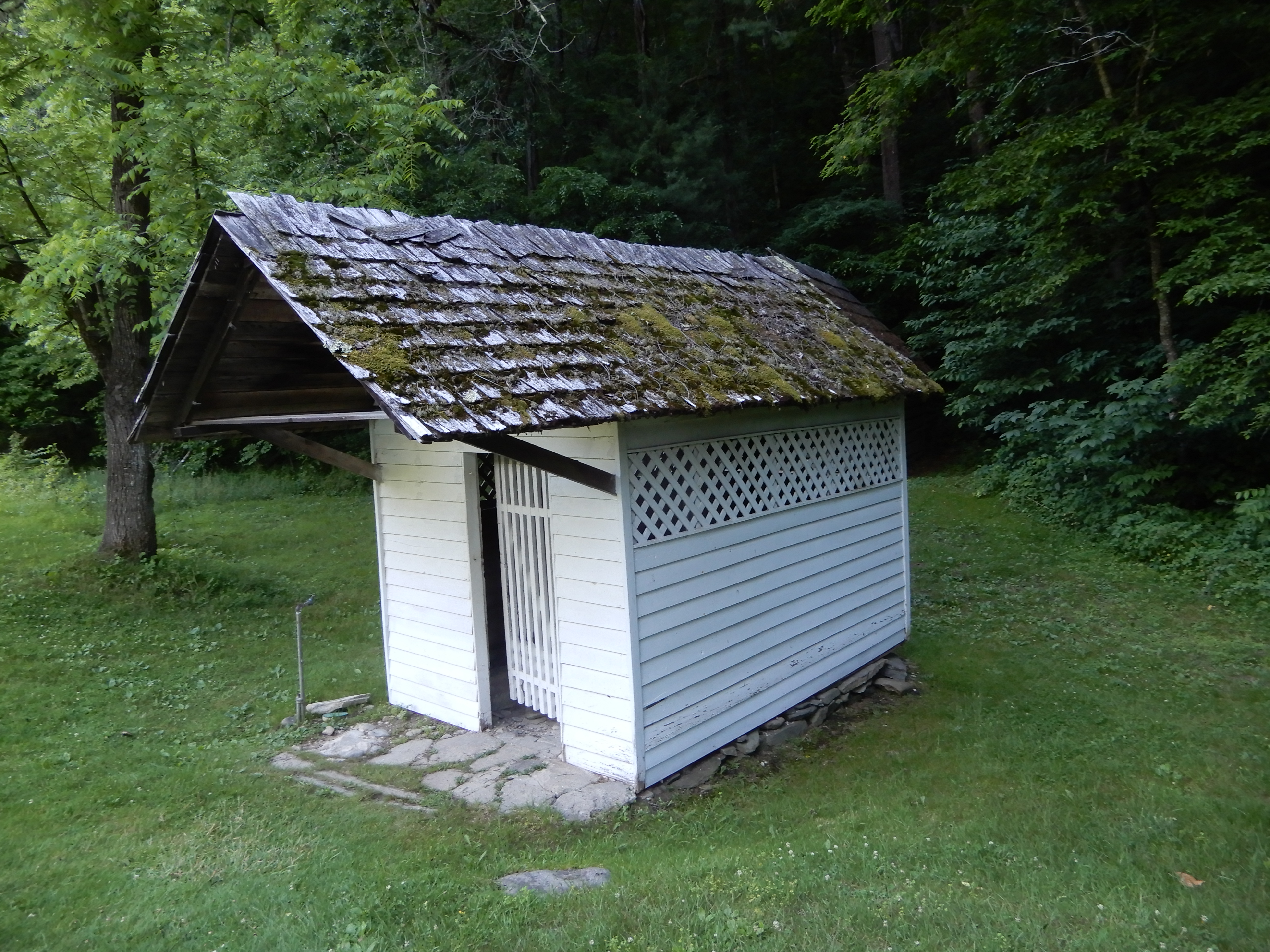
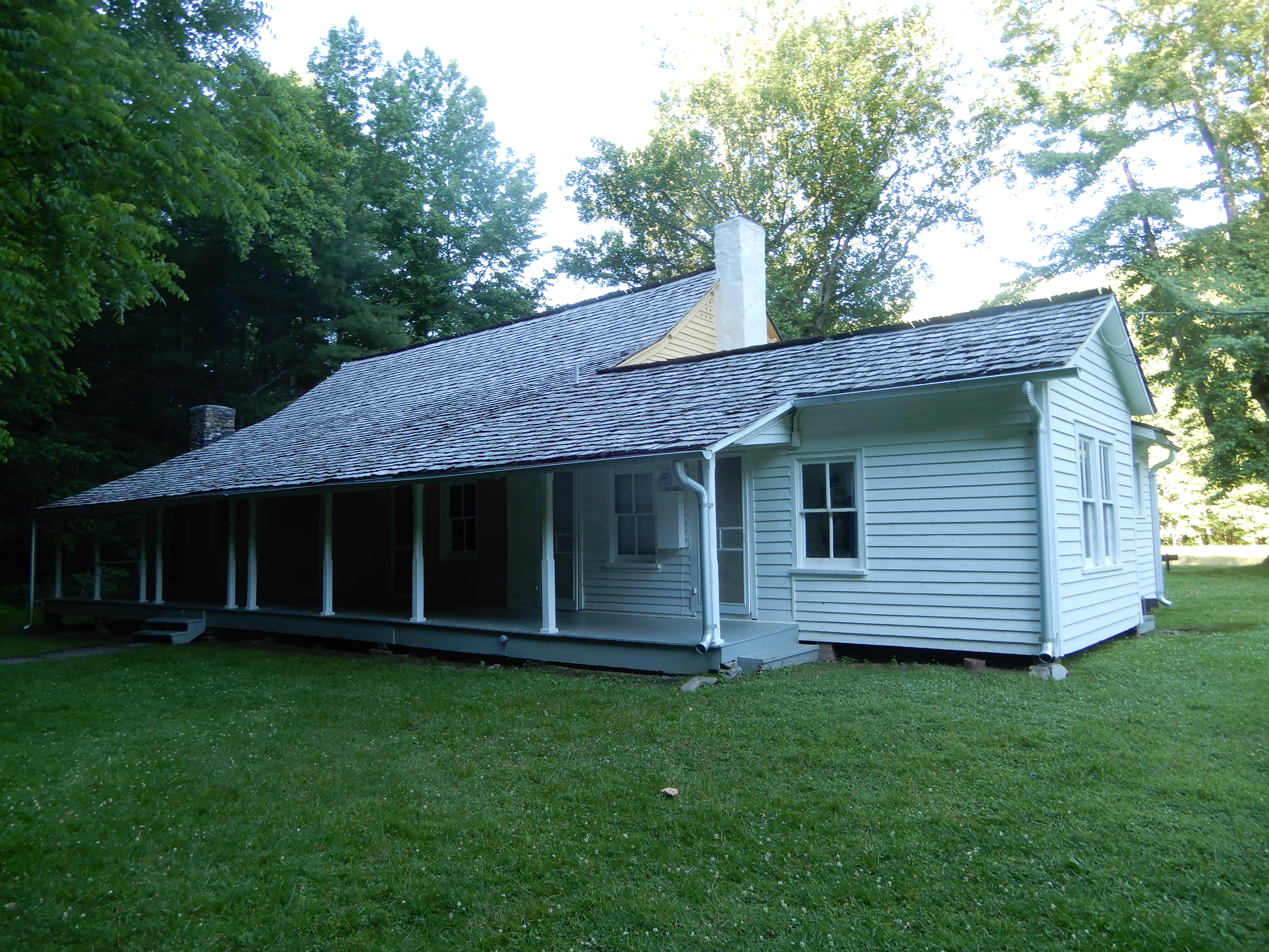
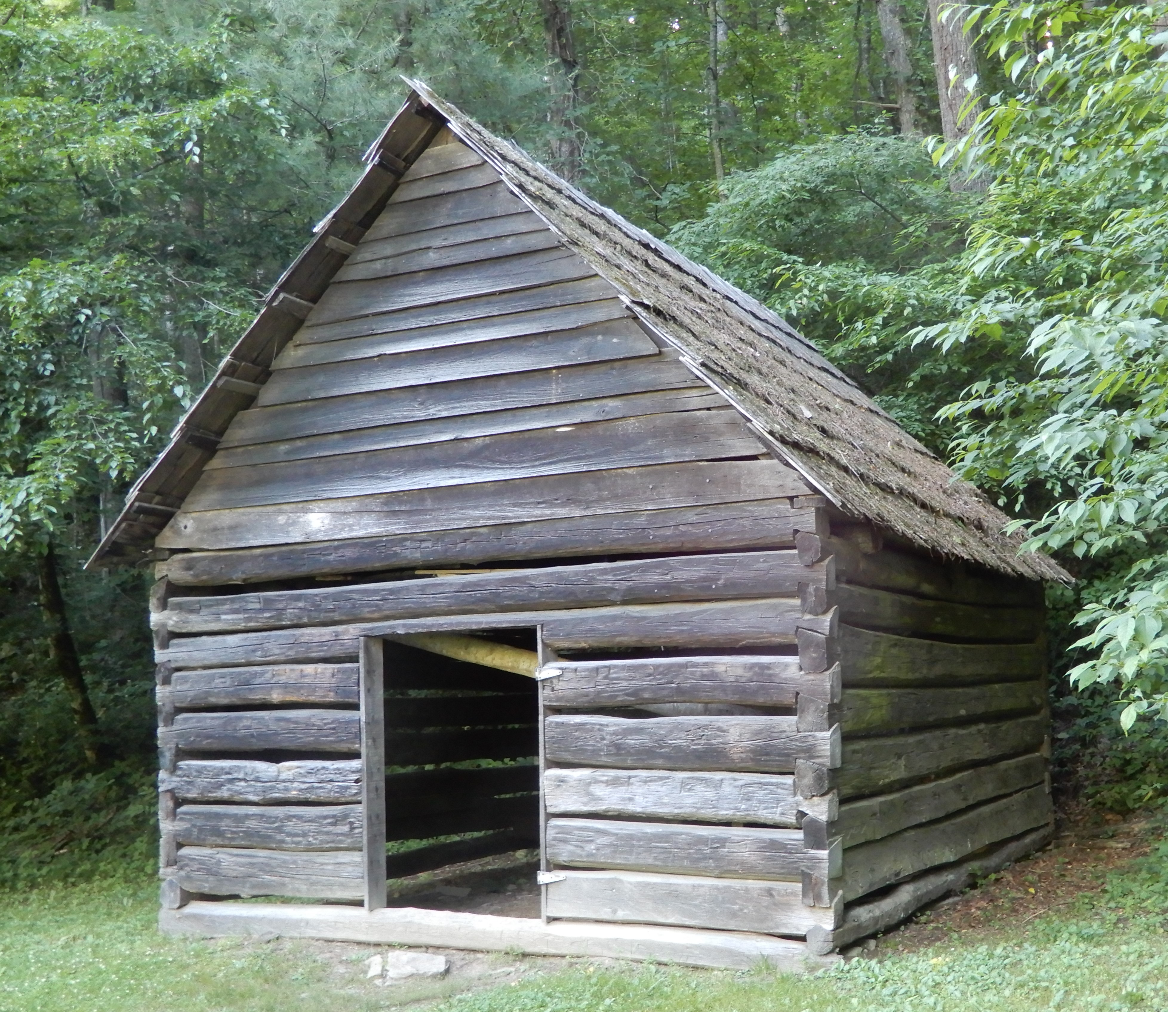
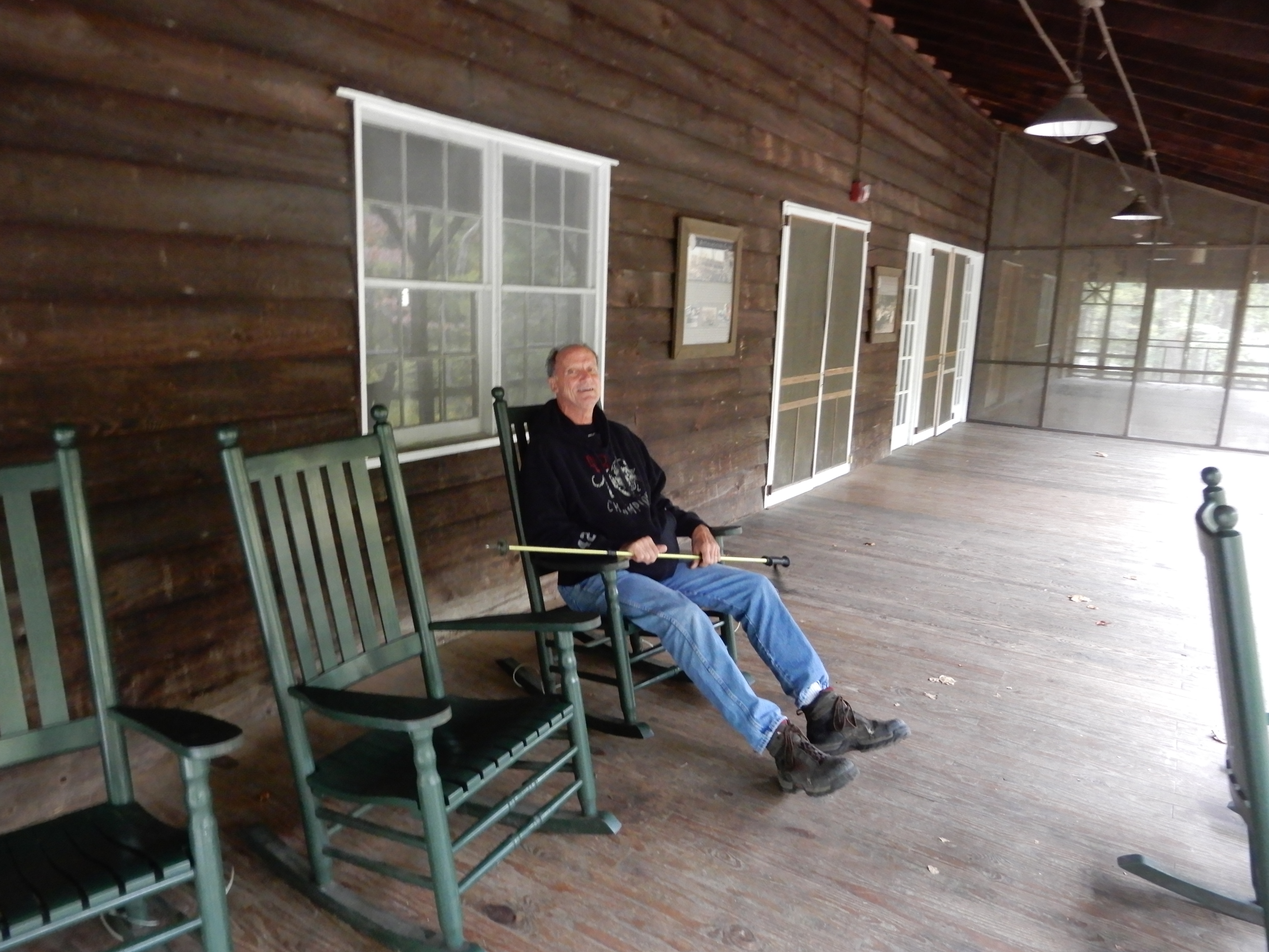
Elkmont Campground is on the site of an old resort, of which many of the buildings are still standing. So we hiked around to check them out.
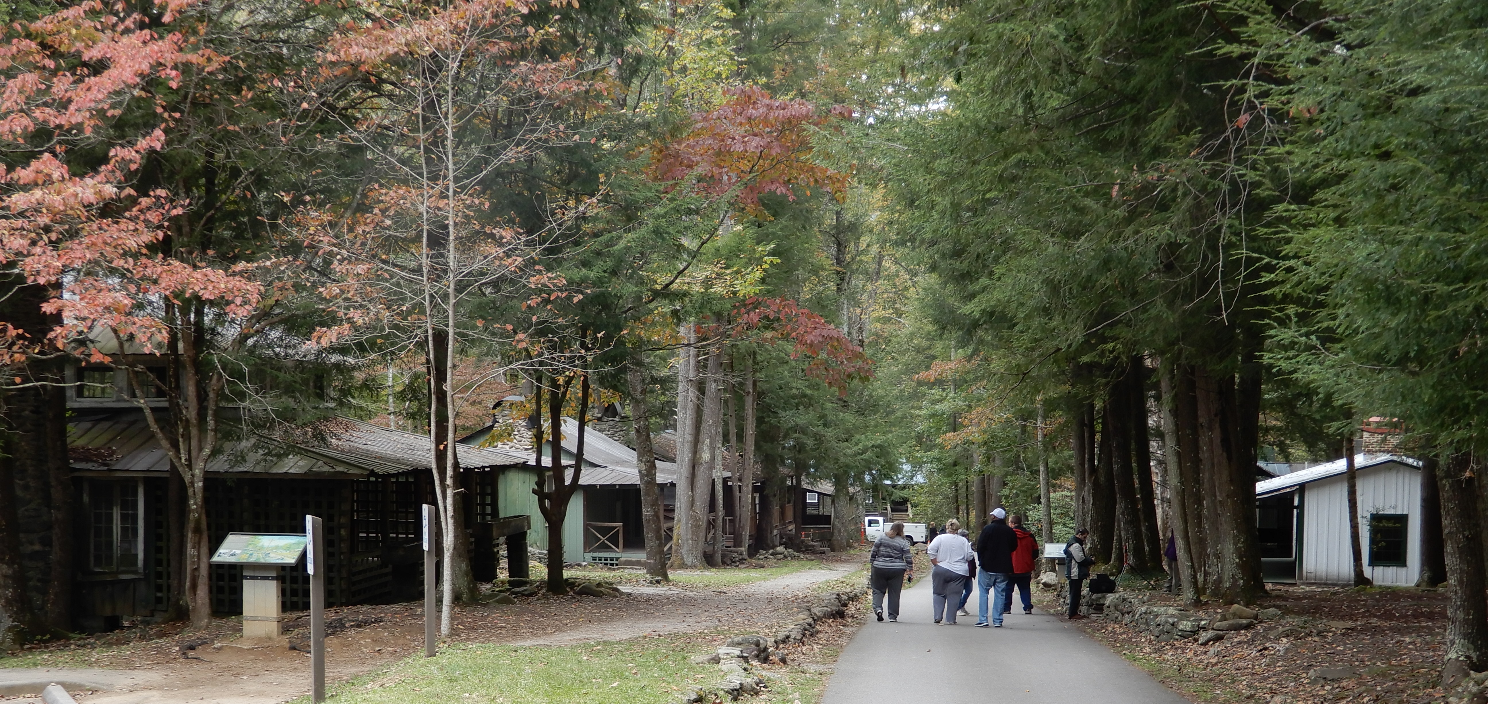
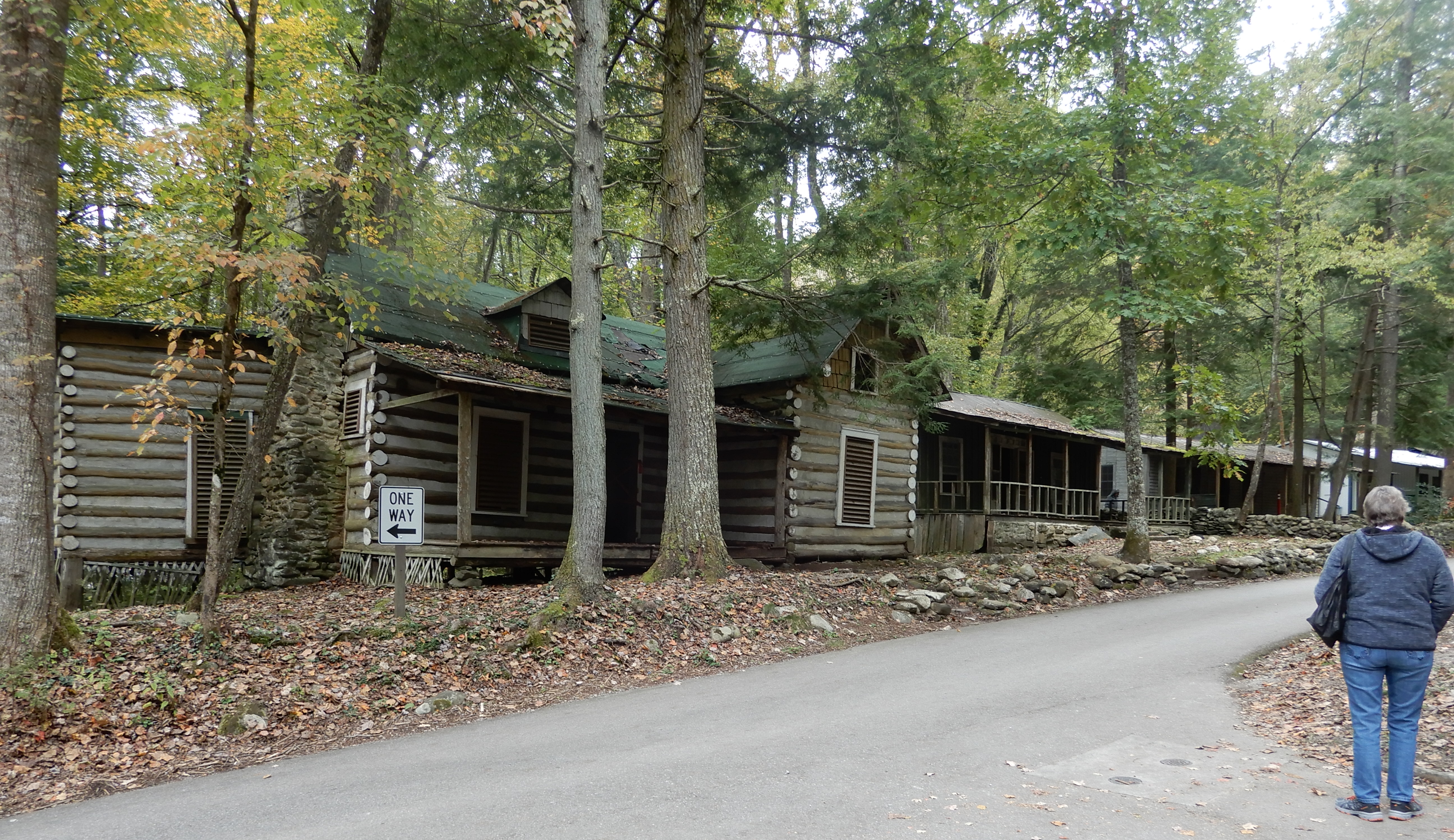
Some you could enter.
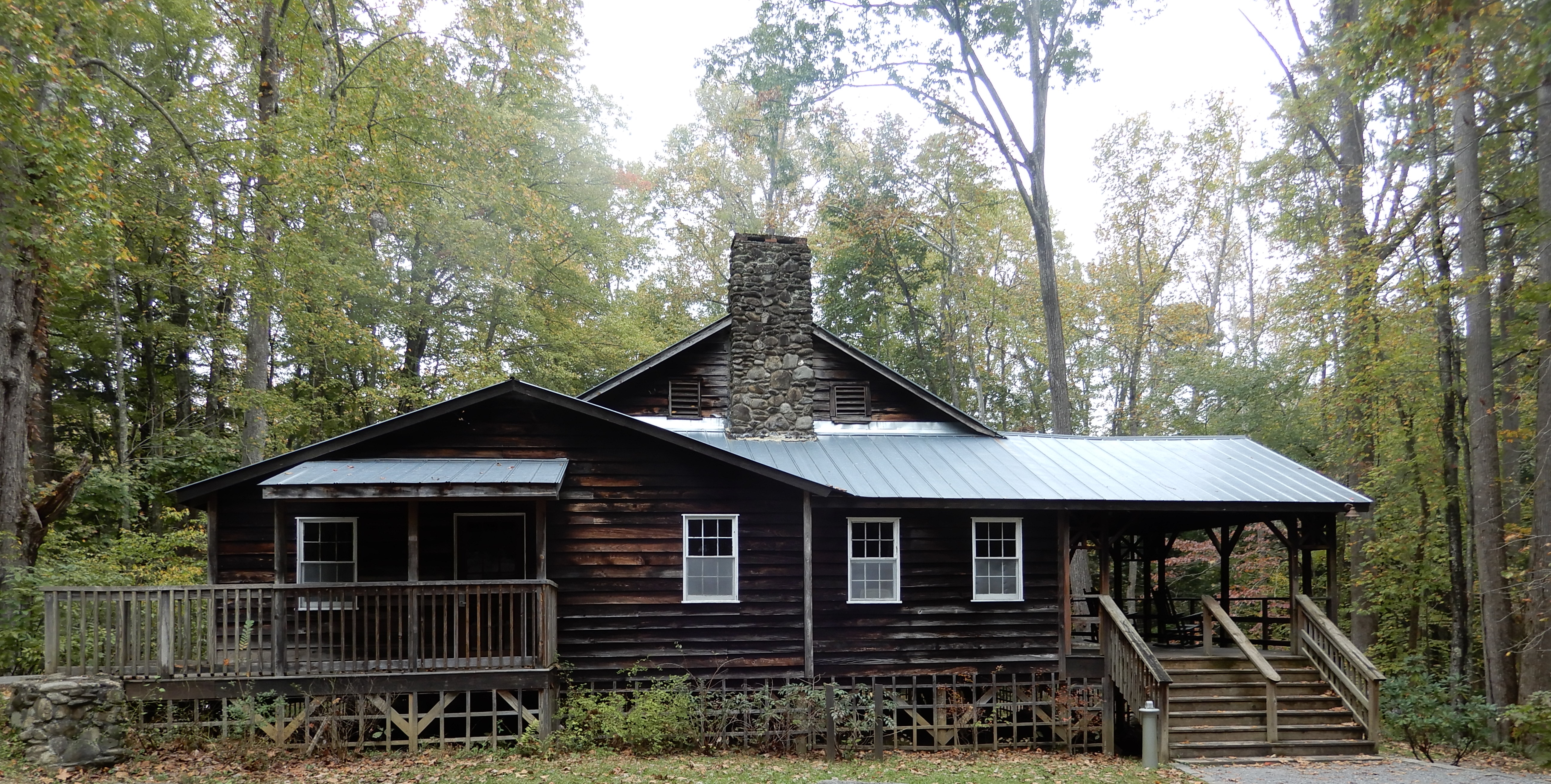
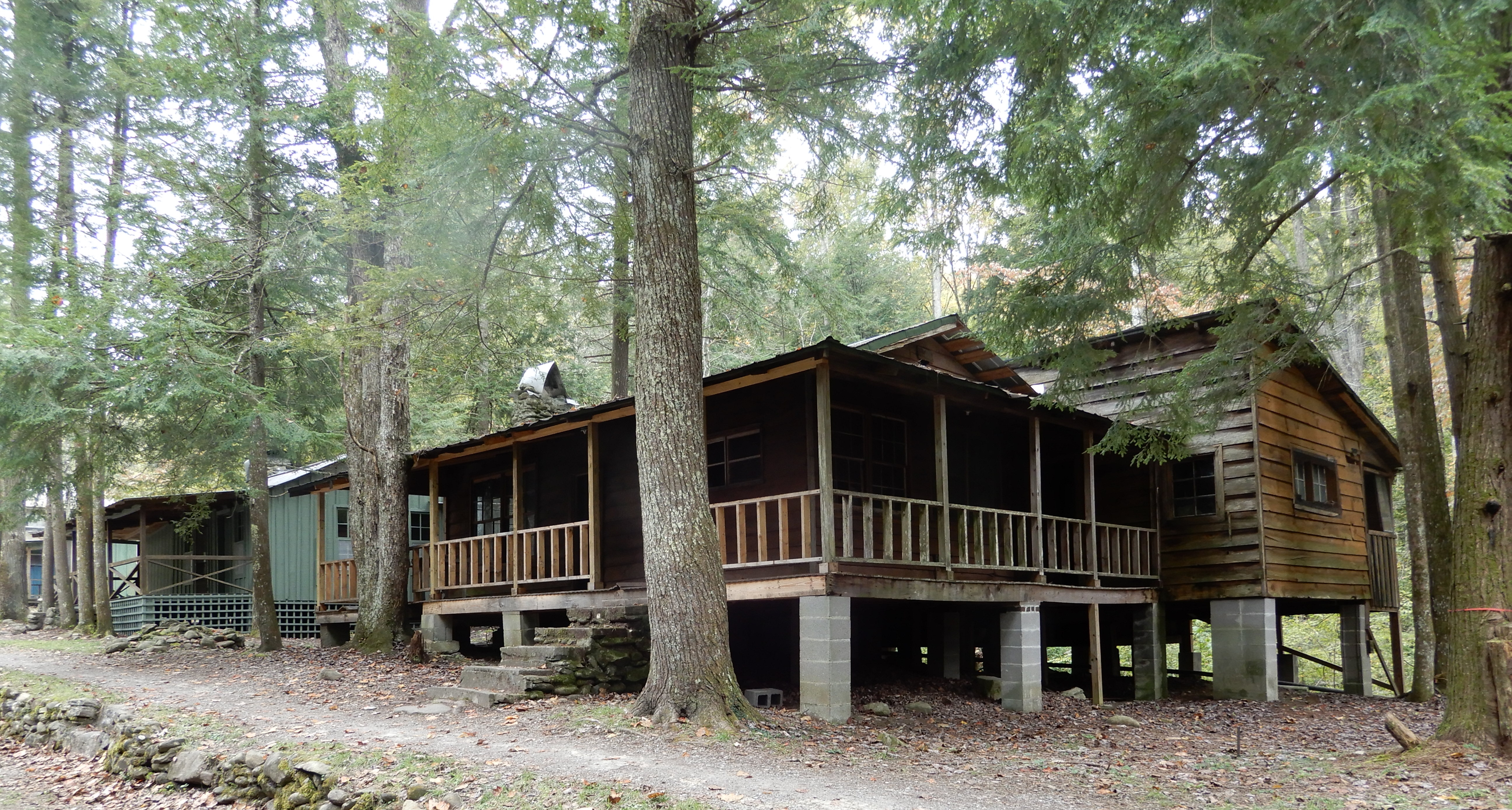
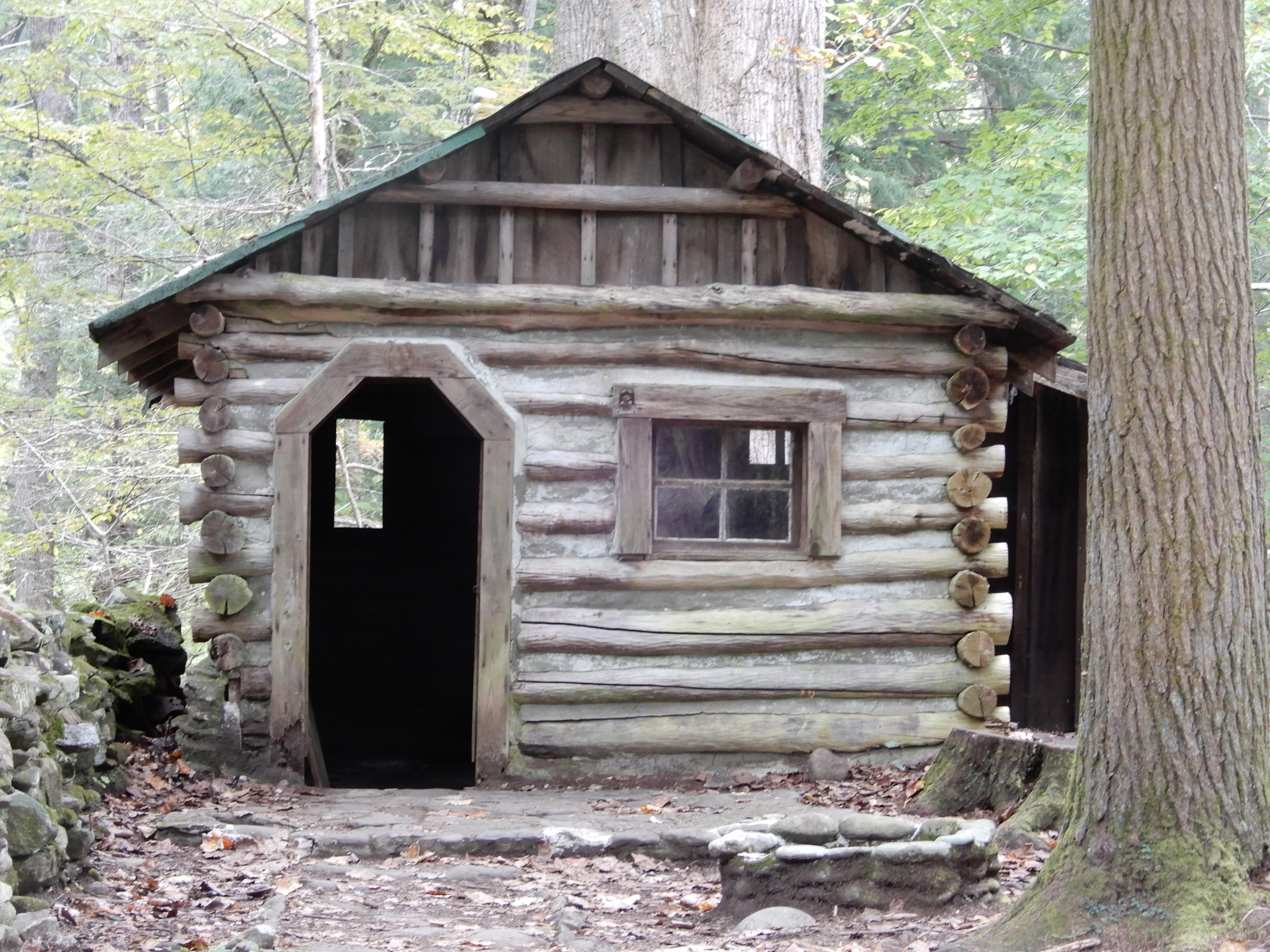
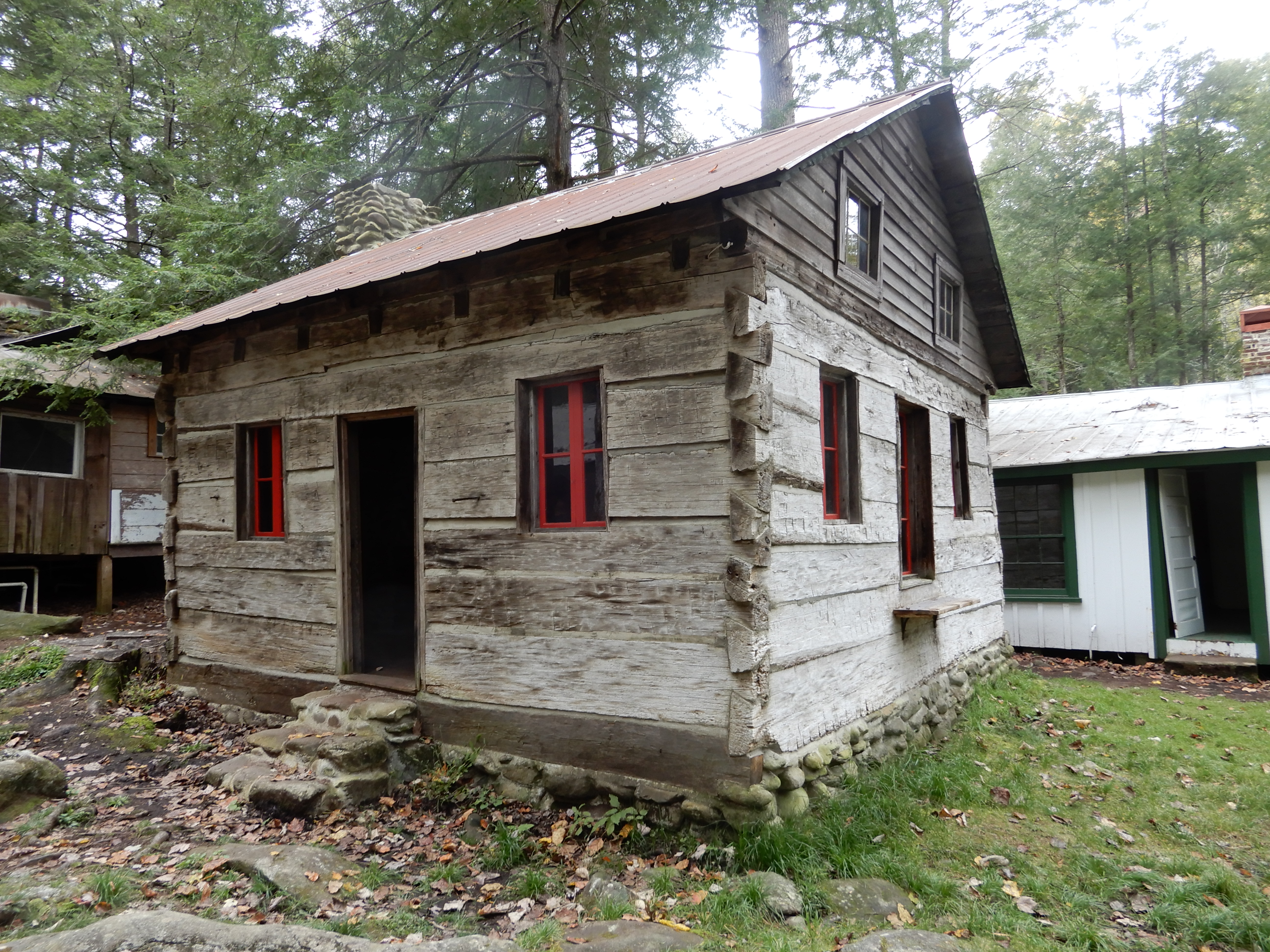
Some you couldn’t.

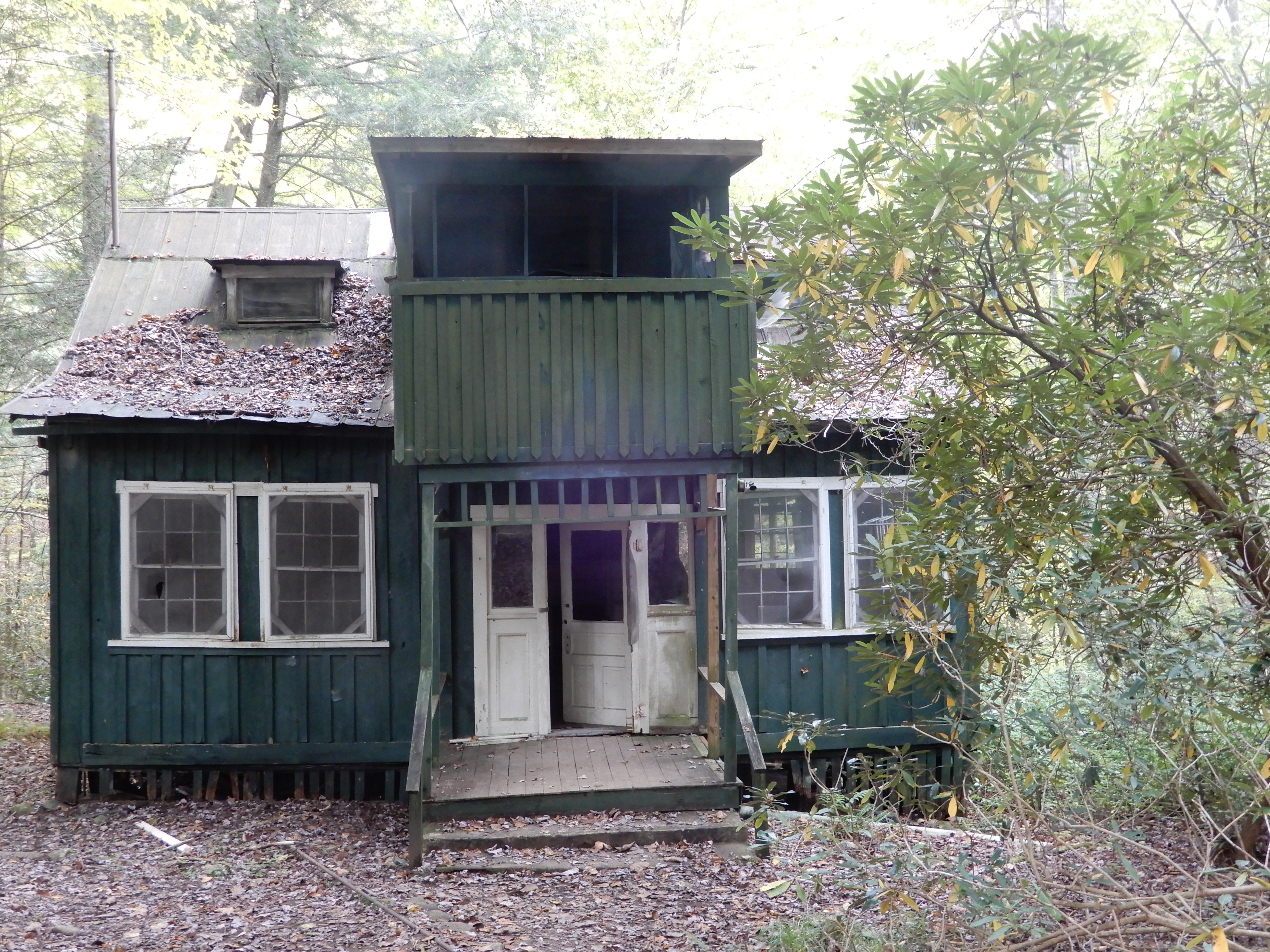
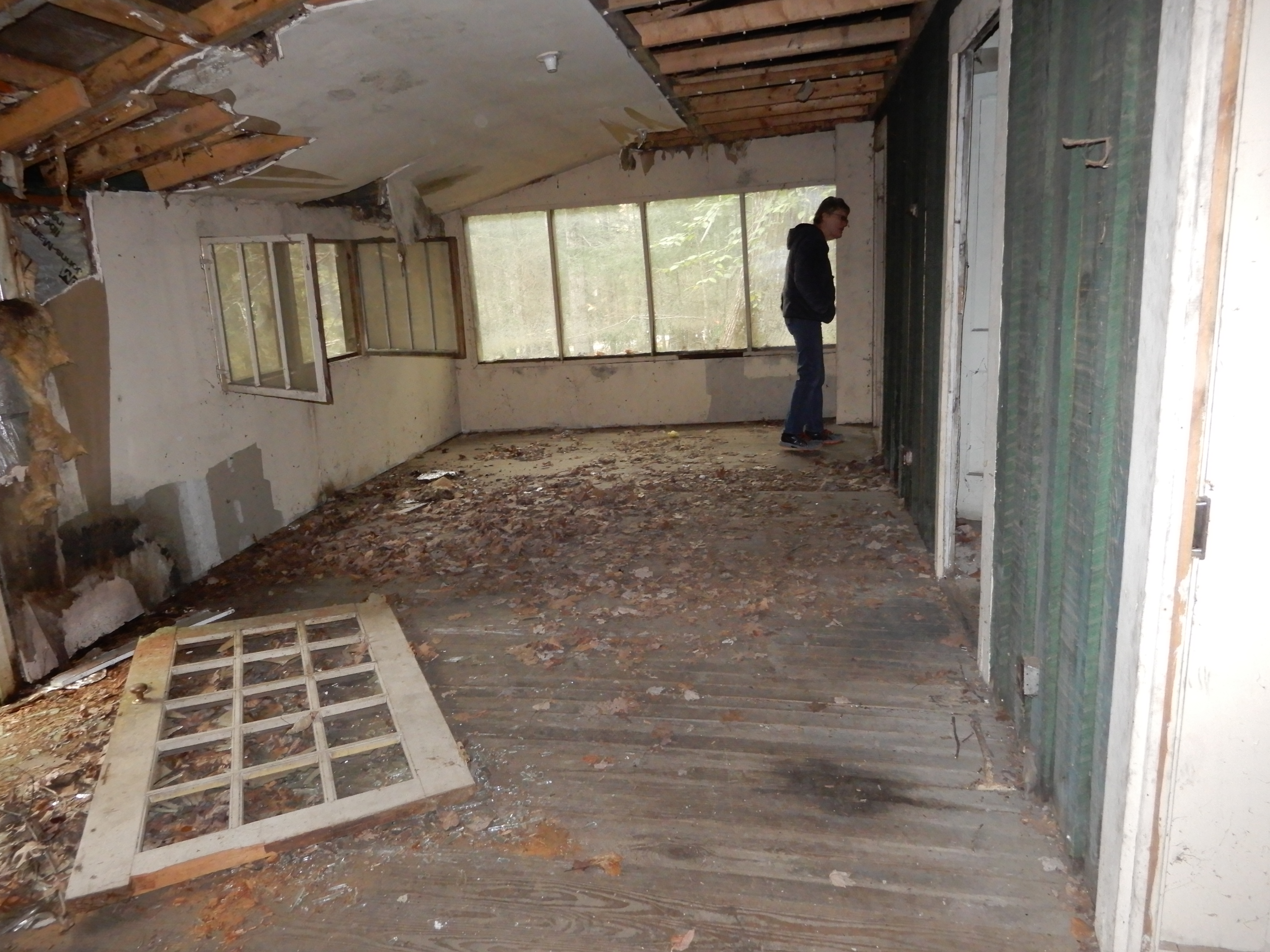
And some we probably shouldn’t have, but they were open.
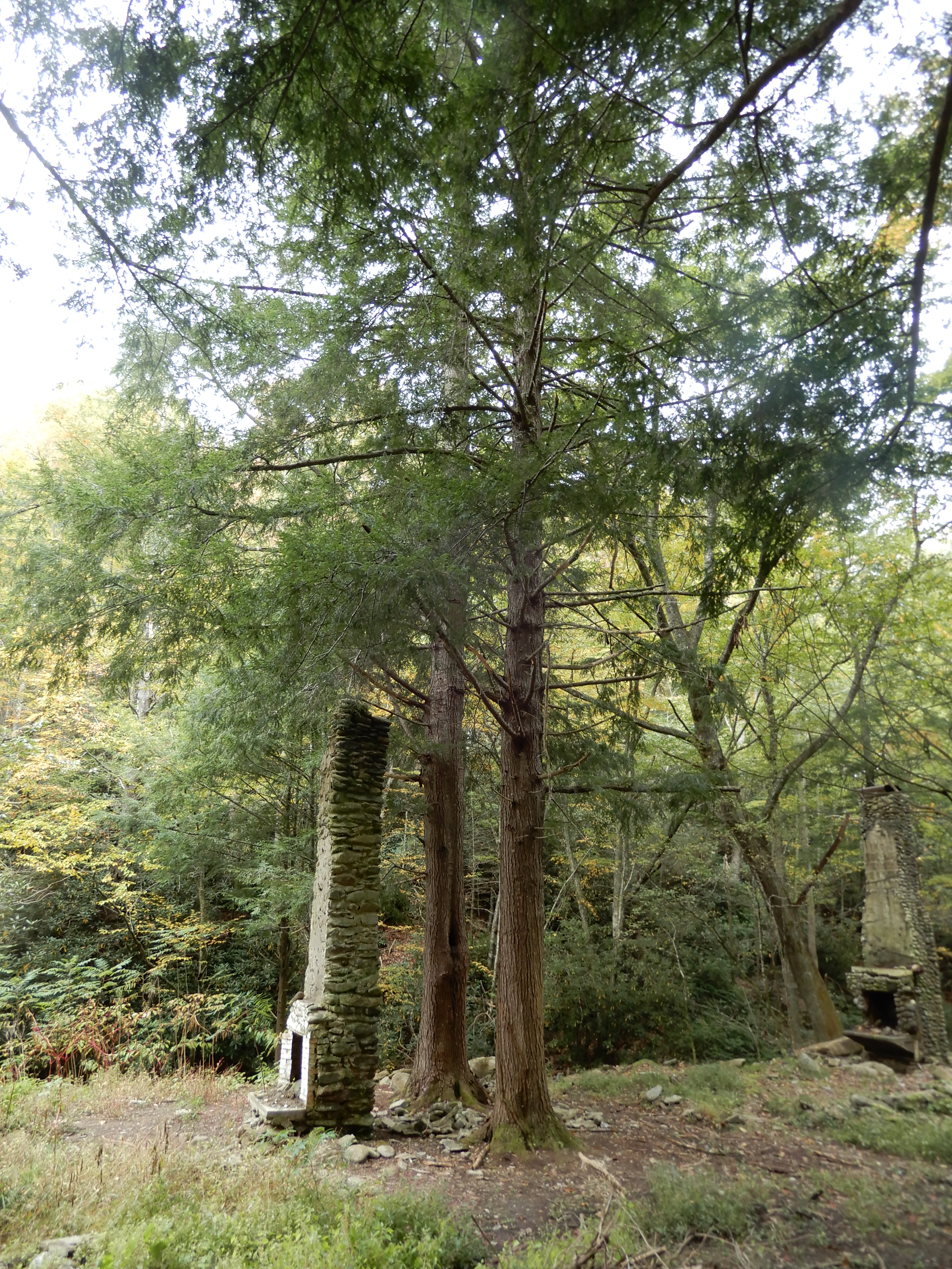
In one area all that remained of several buildings were the chimneys.
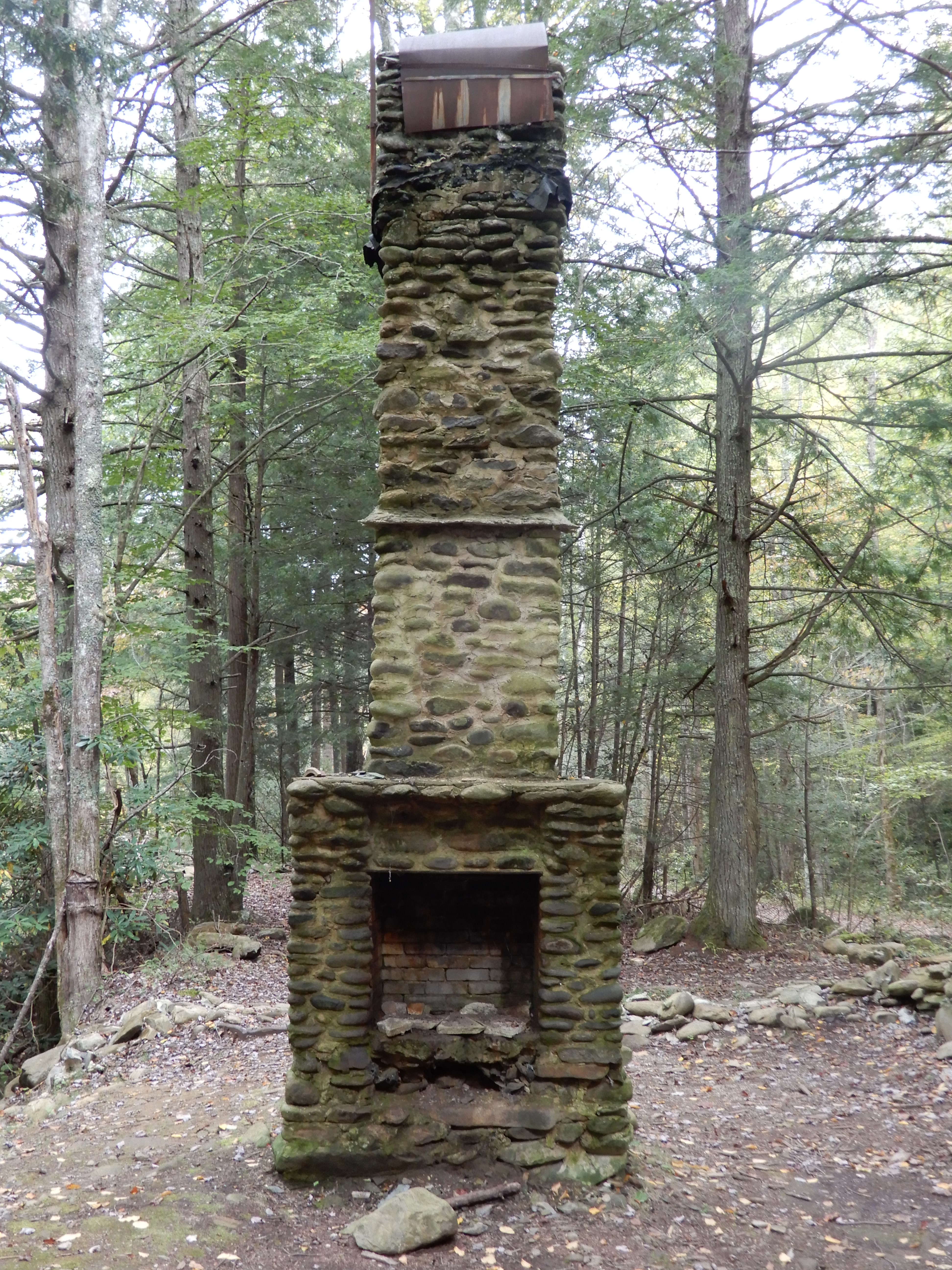
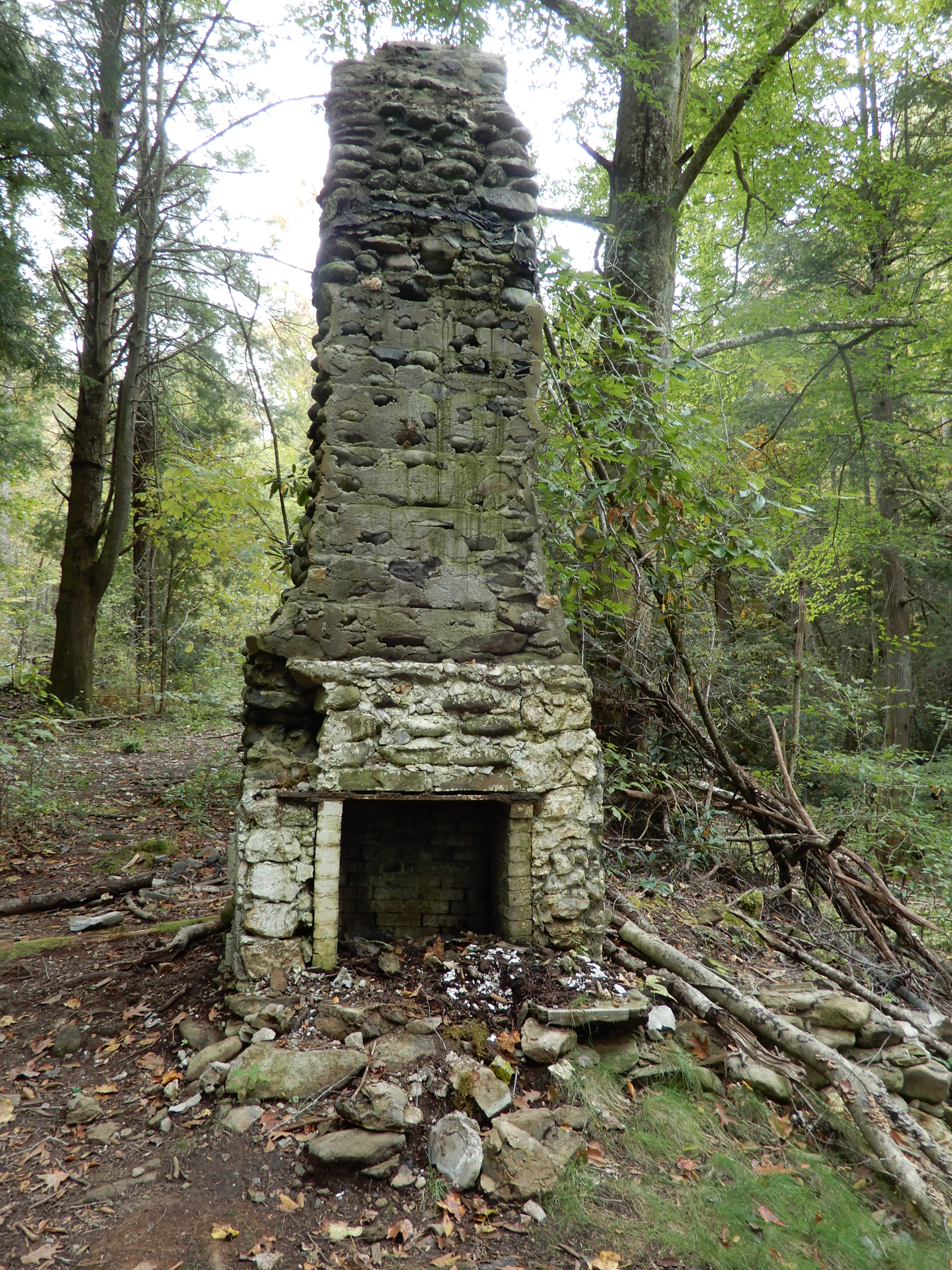
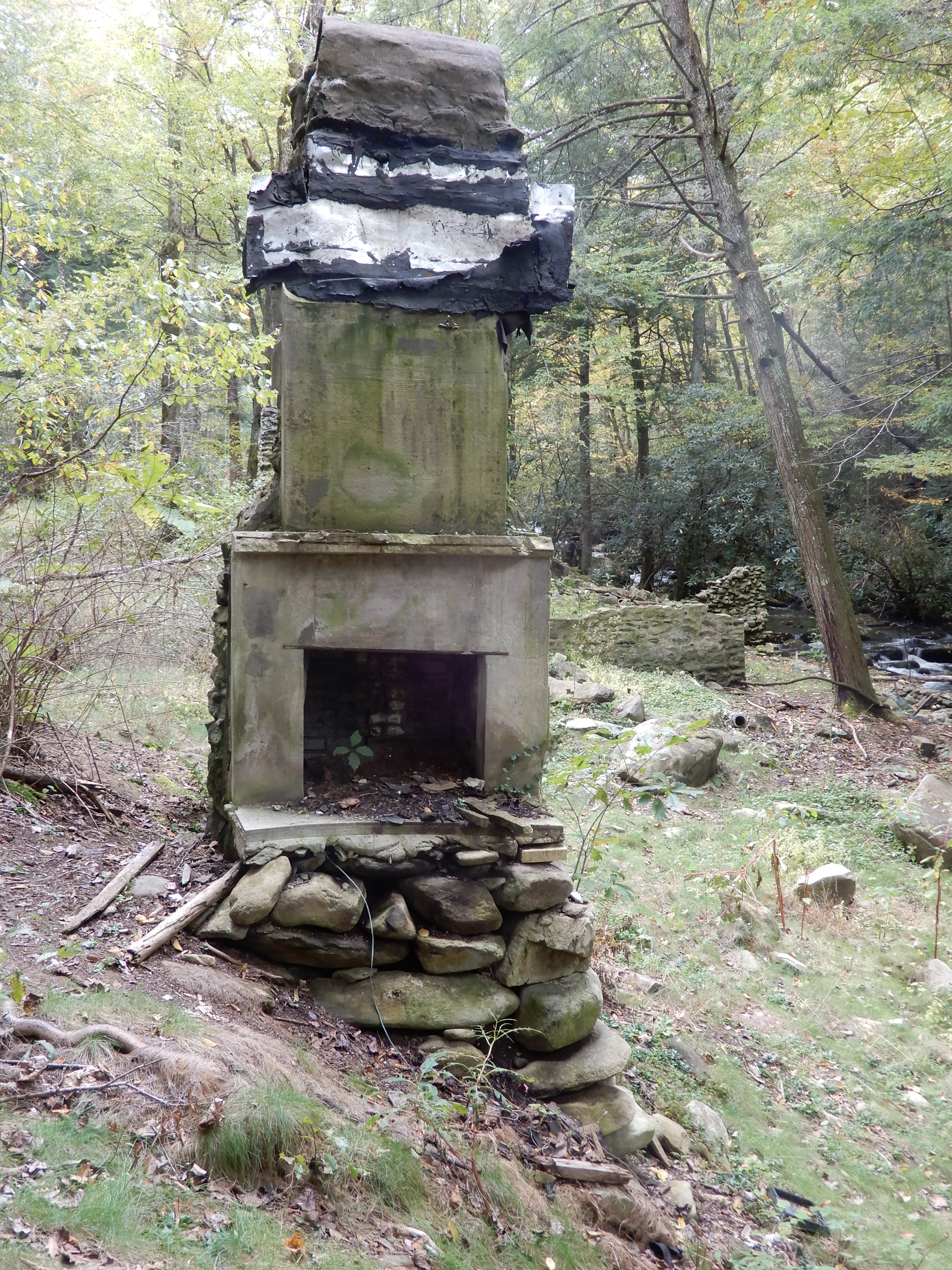
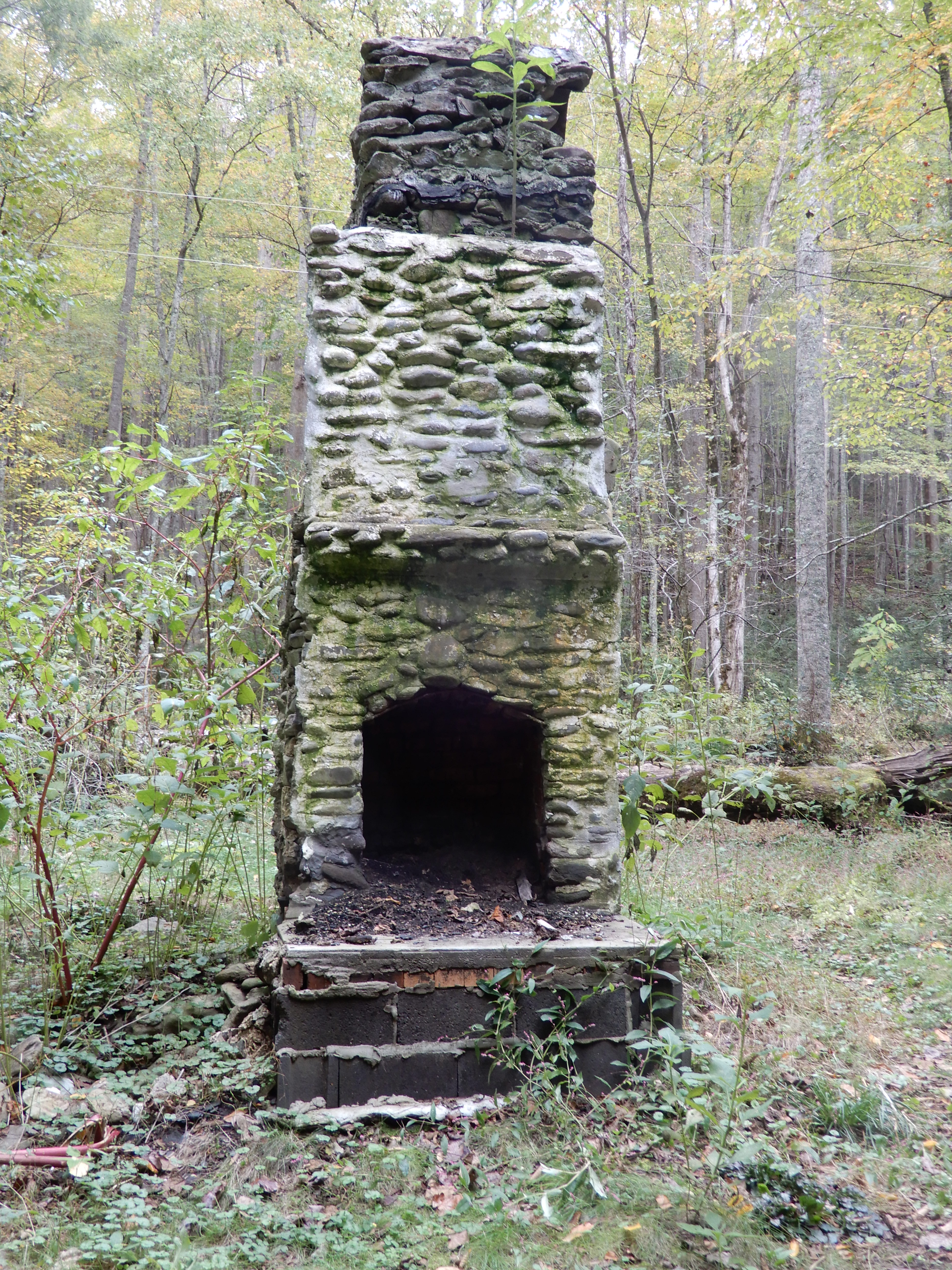
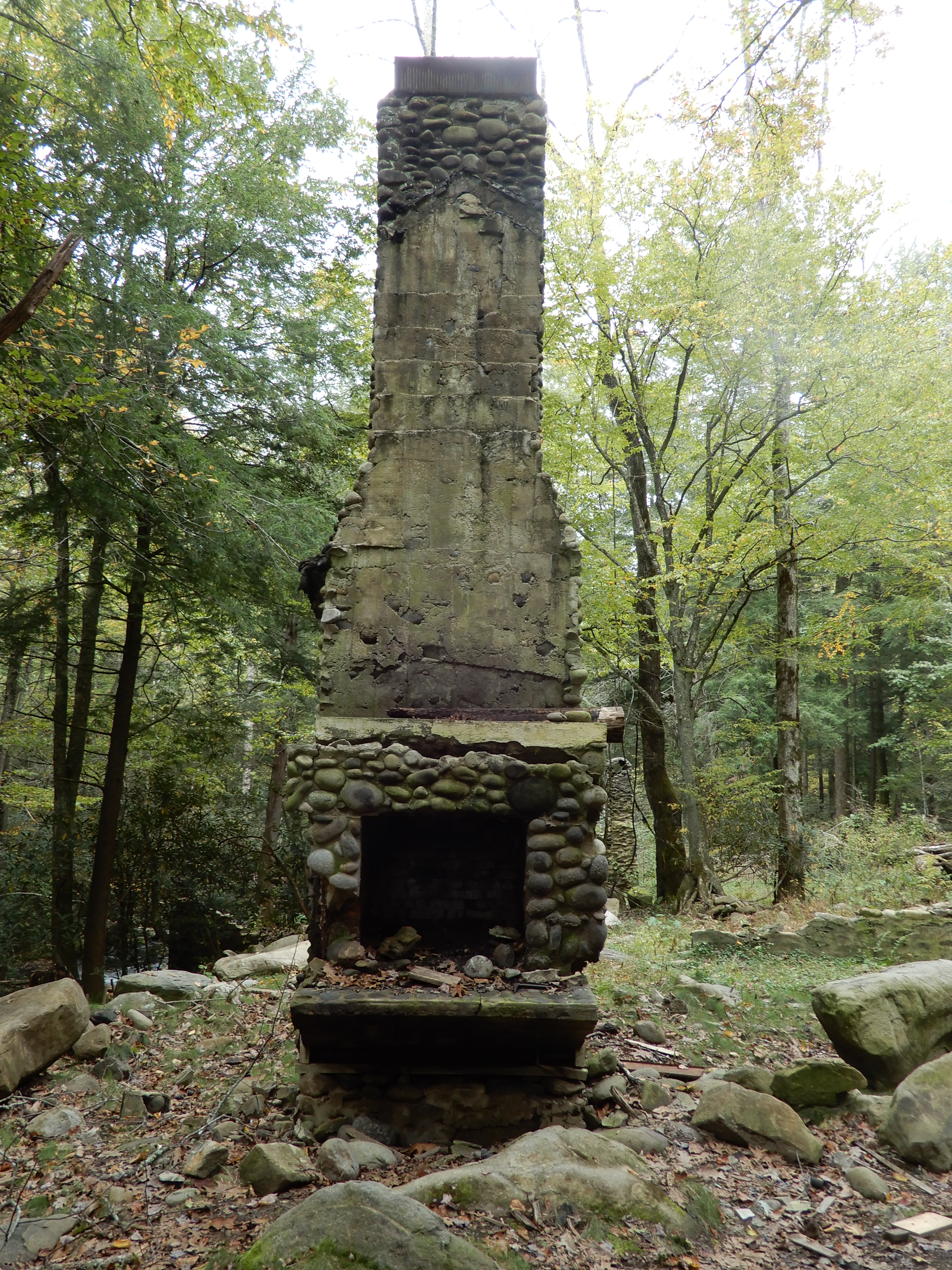
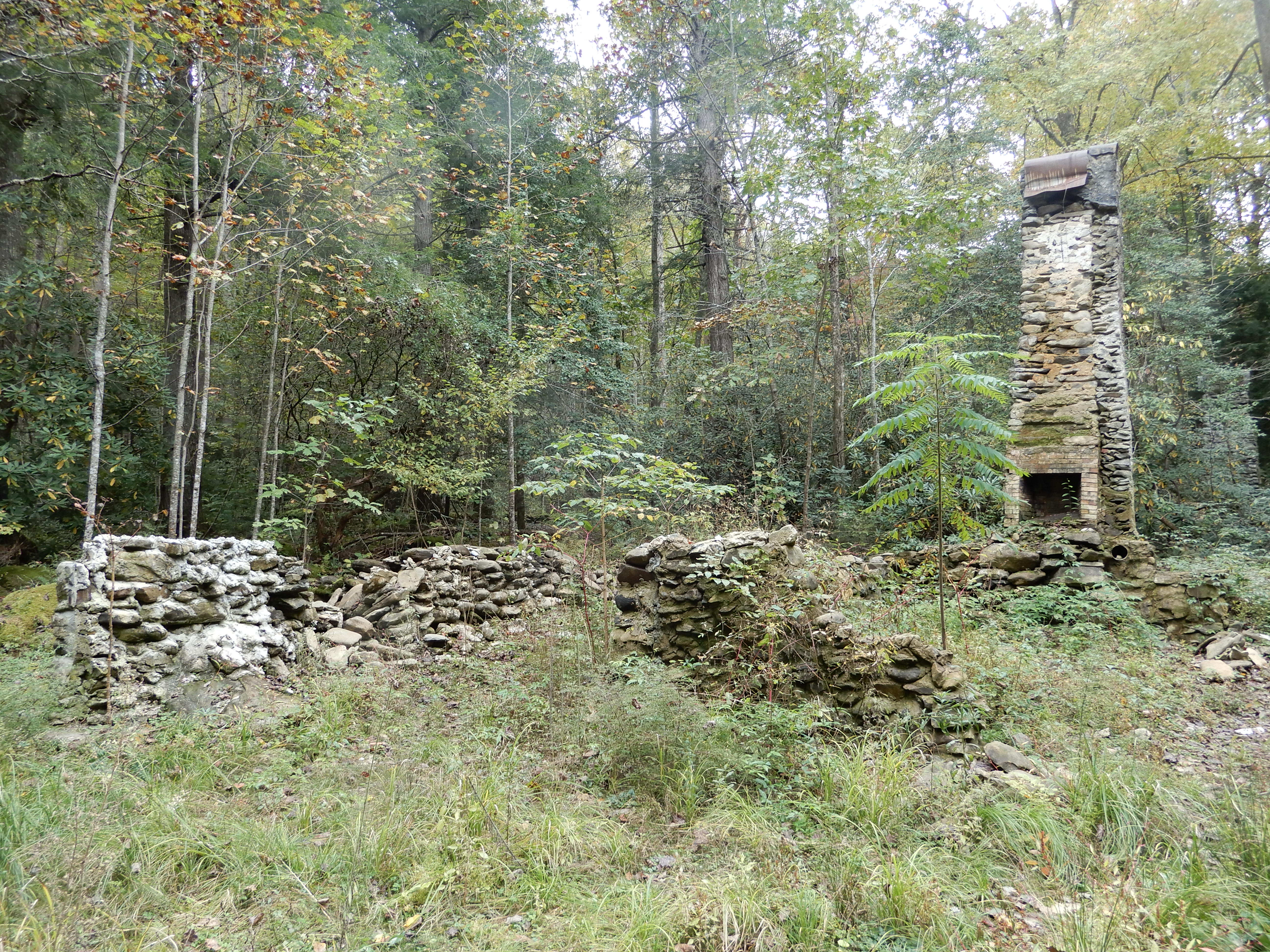
This site either had a house with 2 chimneys, or there had been 2 small houses rather close together.
Later, I hiked a trail on my own.
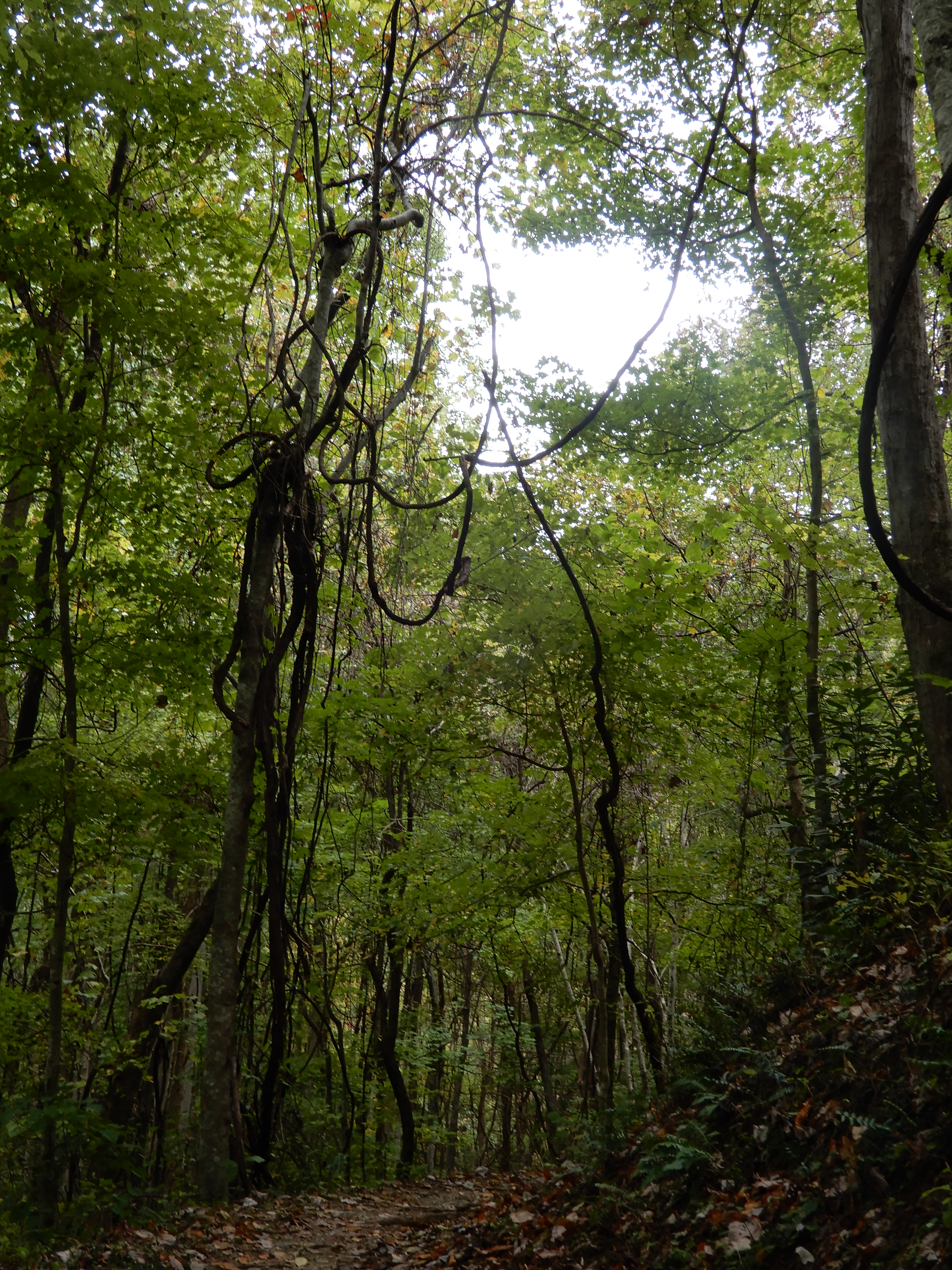
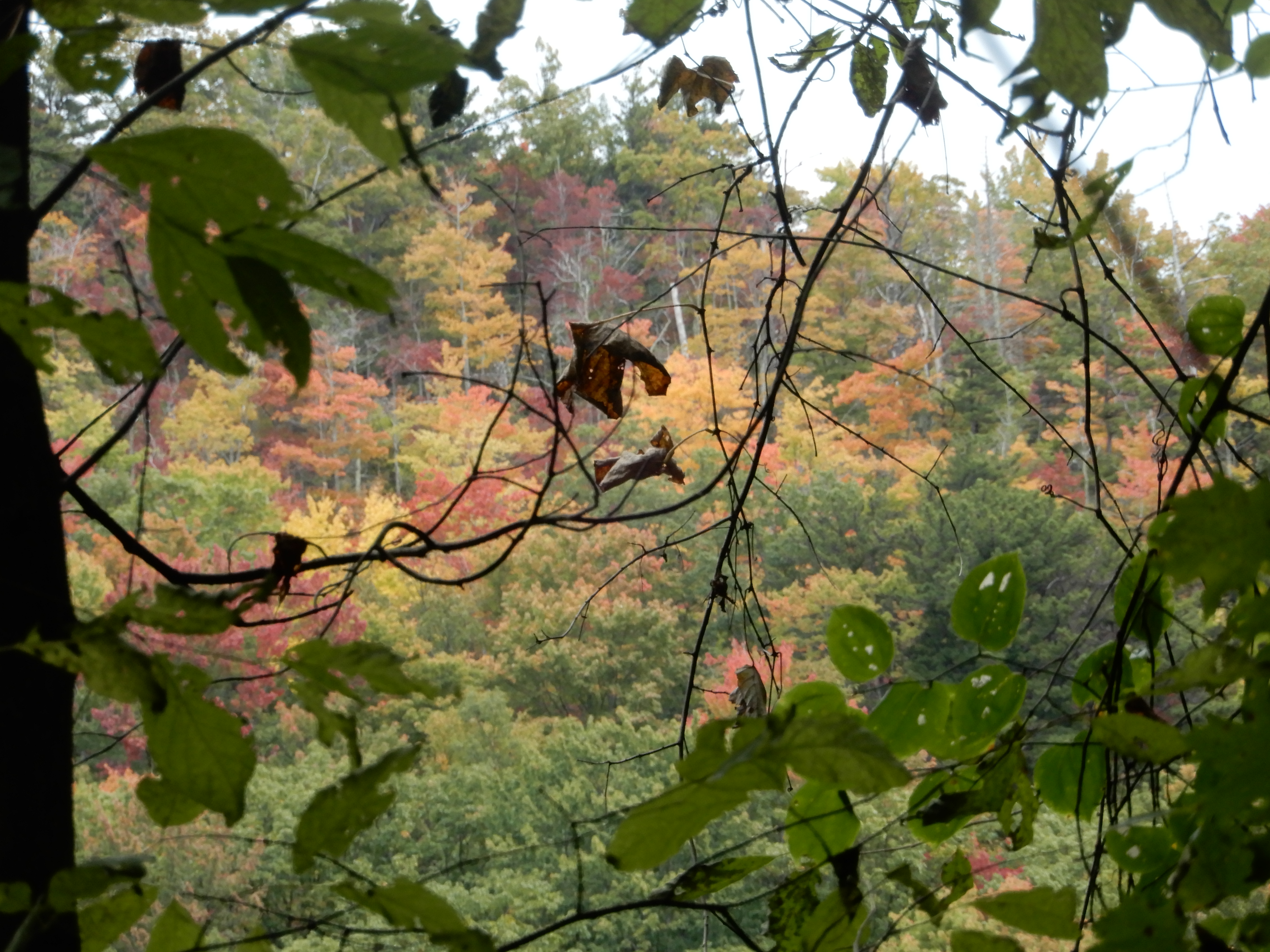
This tangle of vines high up in the trees caught my eye.
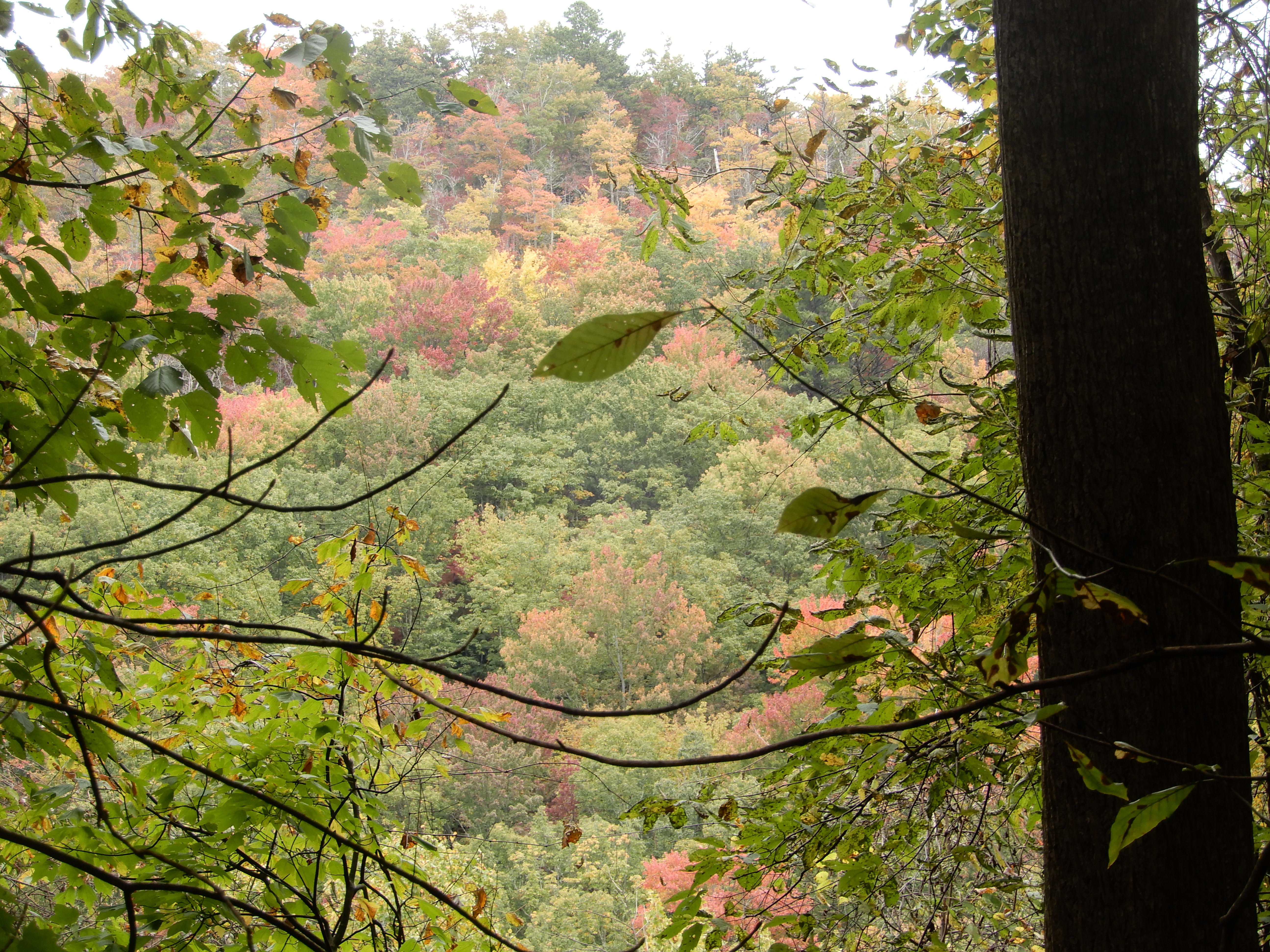
There were few clear overlooks along the trail. I had to peer through the leaves.
Then the trail led back down.
Here it looked like I was headed into a cave.
But the trail led to a rare good overlook.
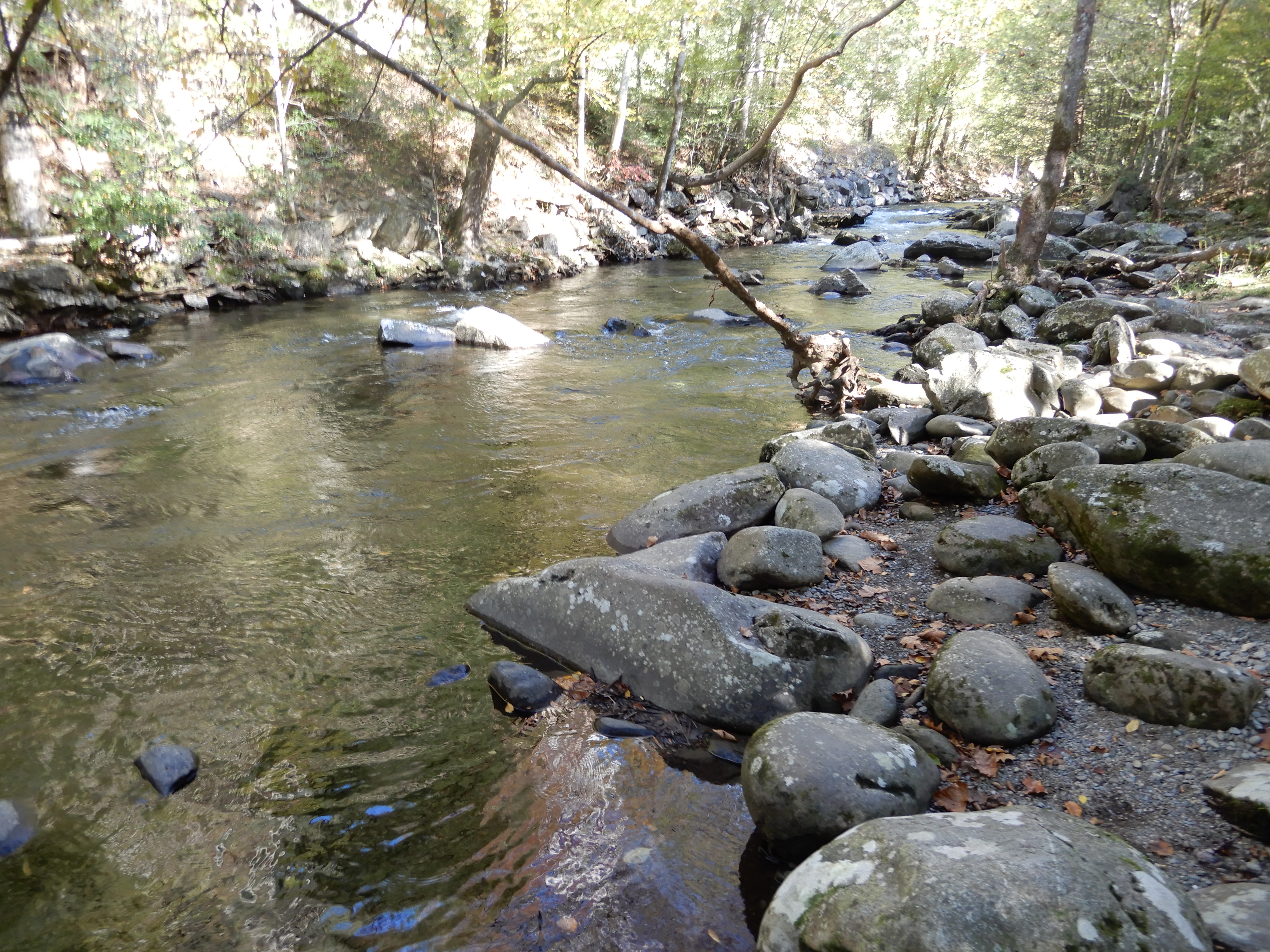
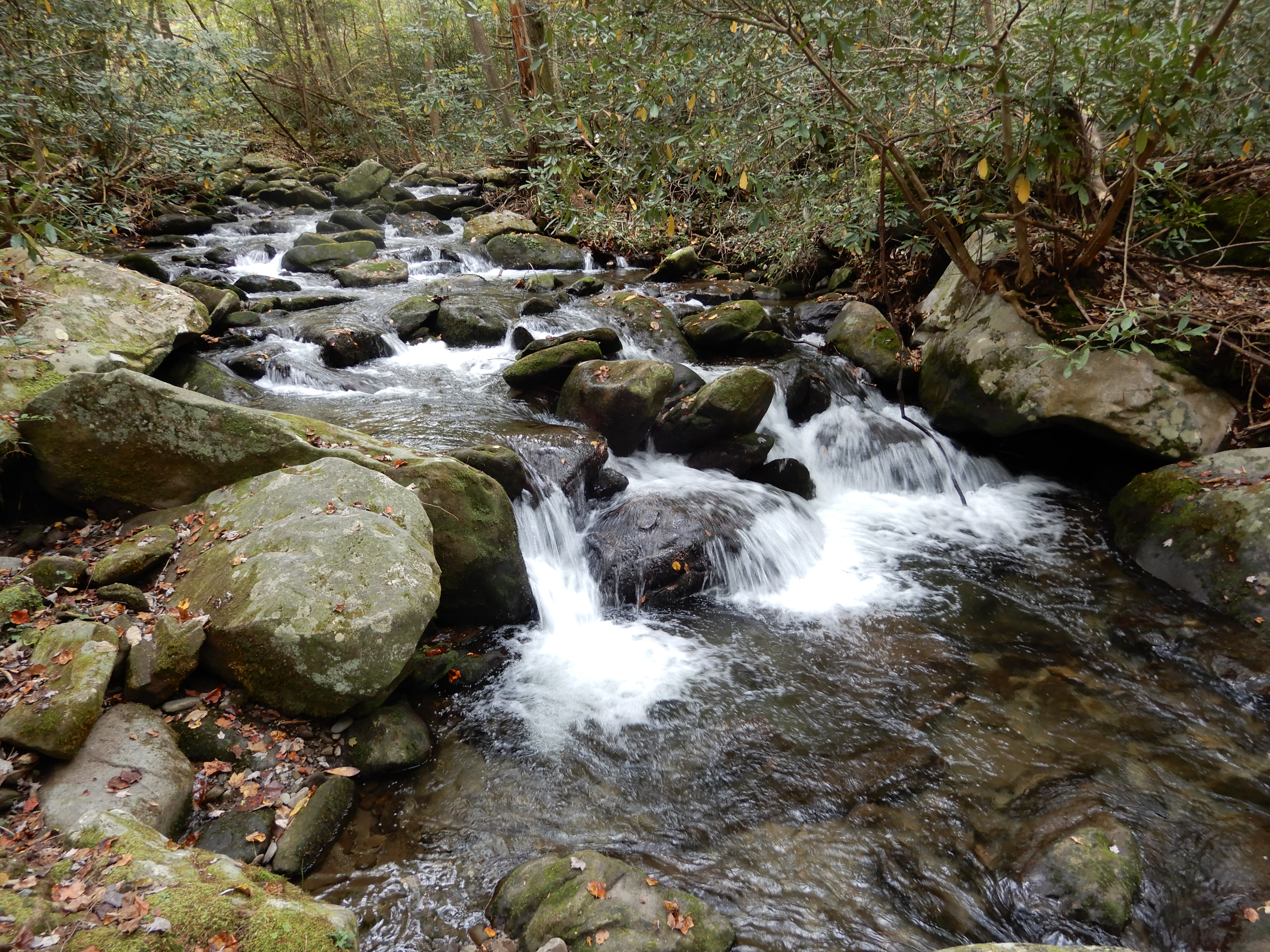
I ended up back at the creek running behind our site.
American Locations 23: Gatlinburg, Tennessee, & Clingman’s Dome, on the Tennessee-North Carolina state line
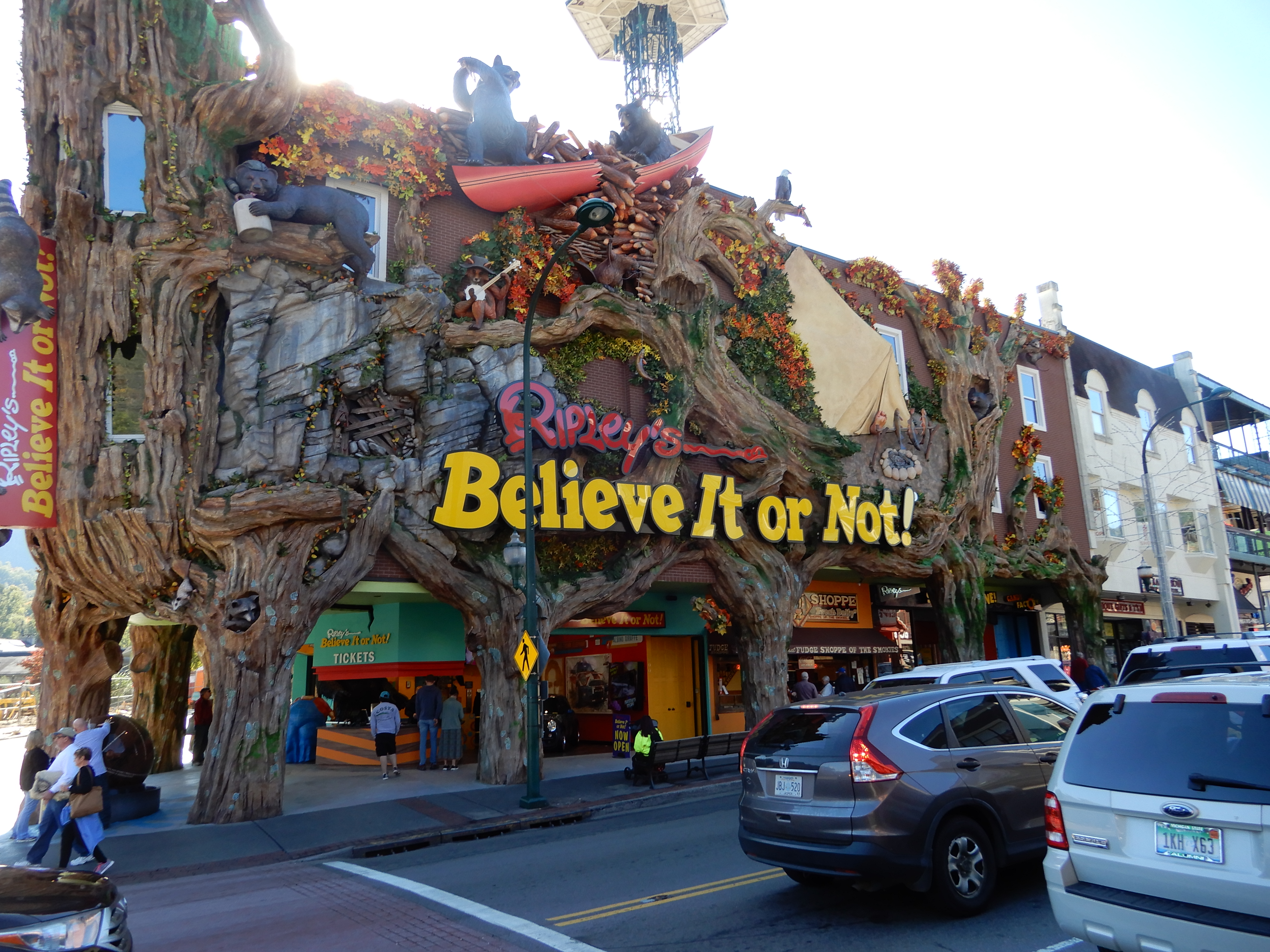
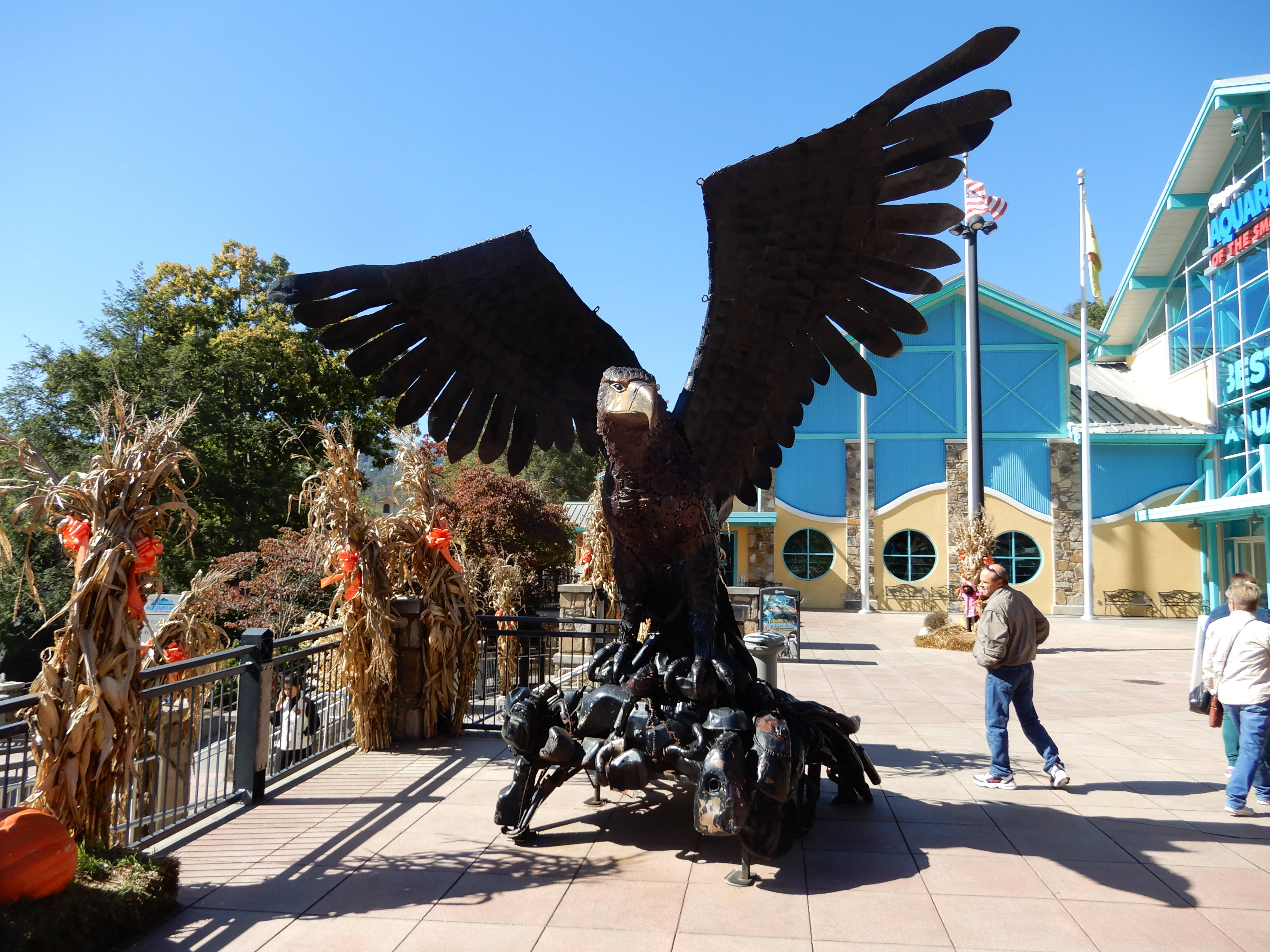
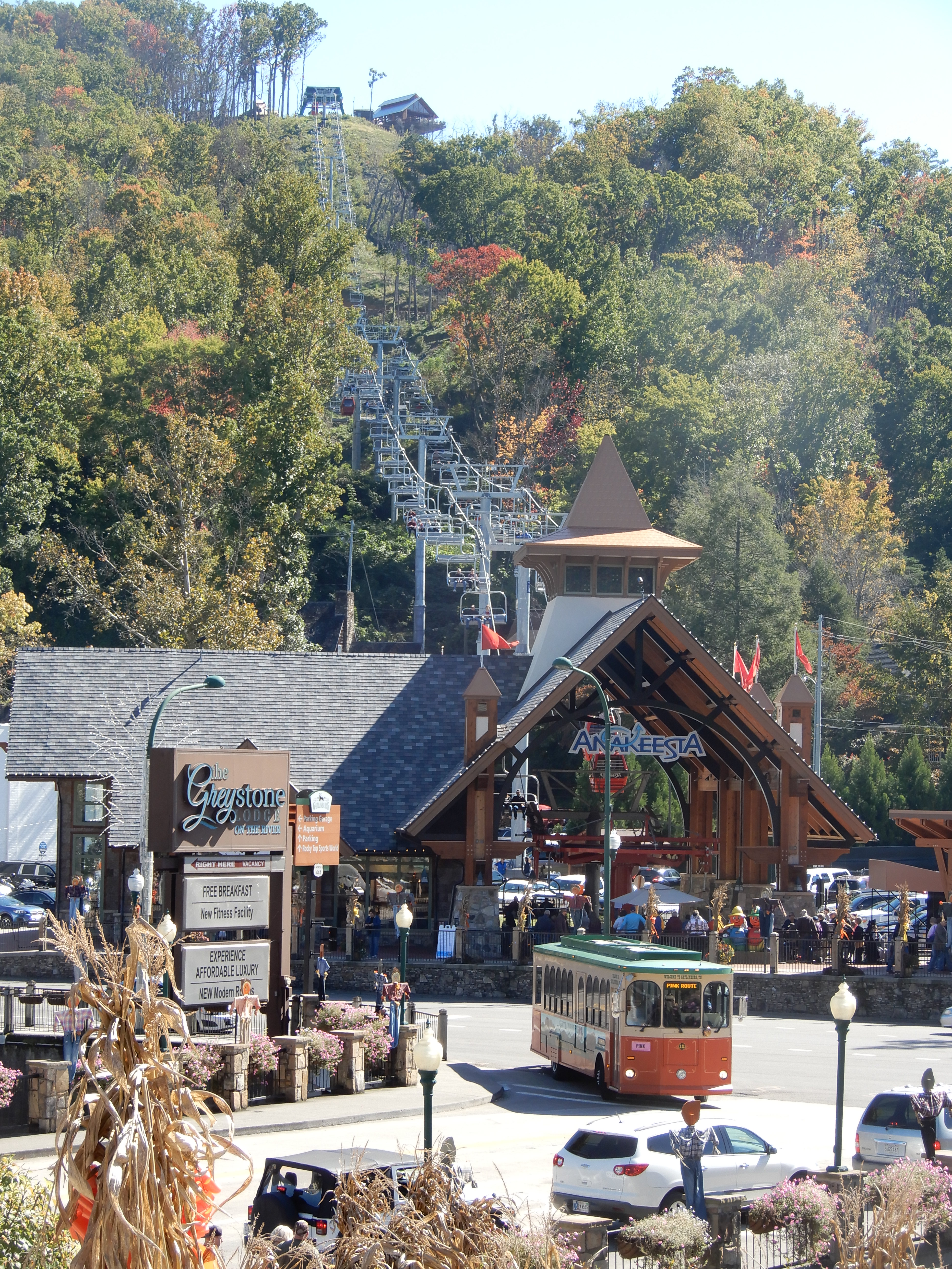
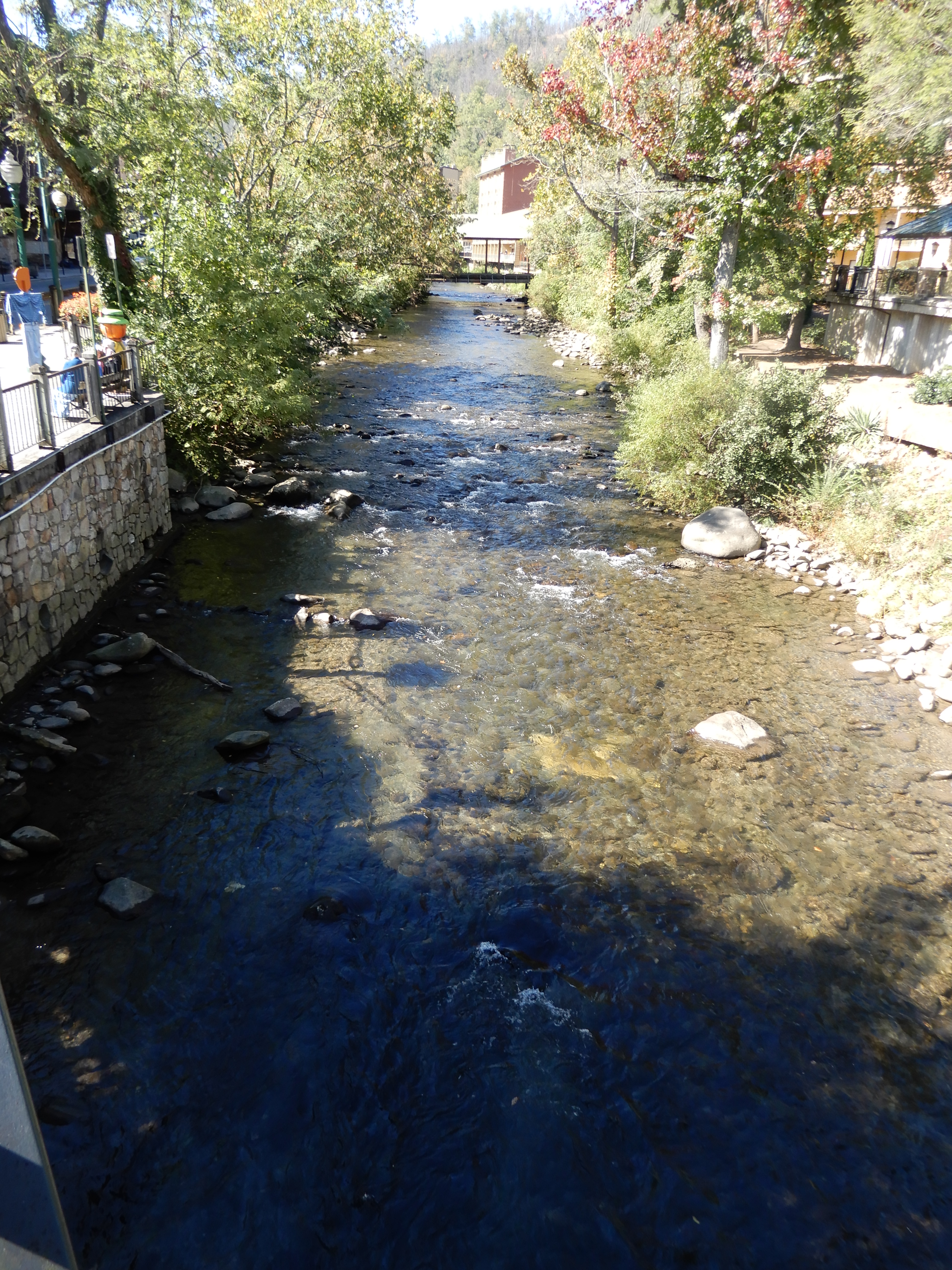
One day while we were camped at Elkmont we went into Gatlinburg.
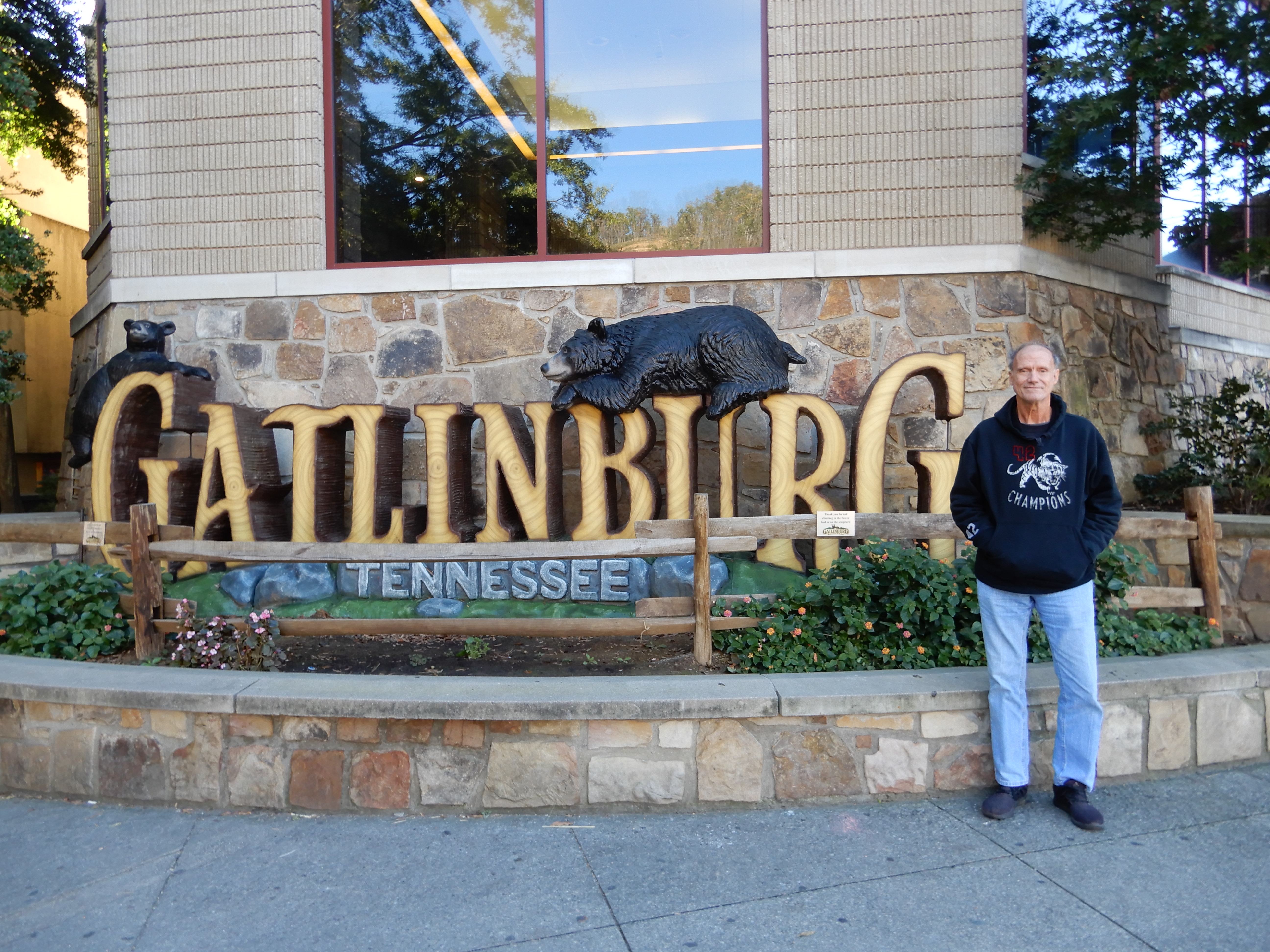
I’d been to Gatlinburg many times, but never at Halloween. The town knows how to decorate.
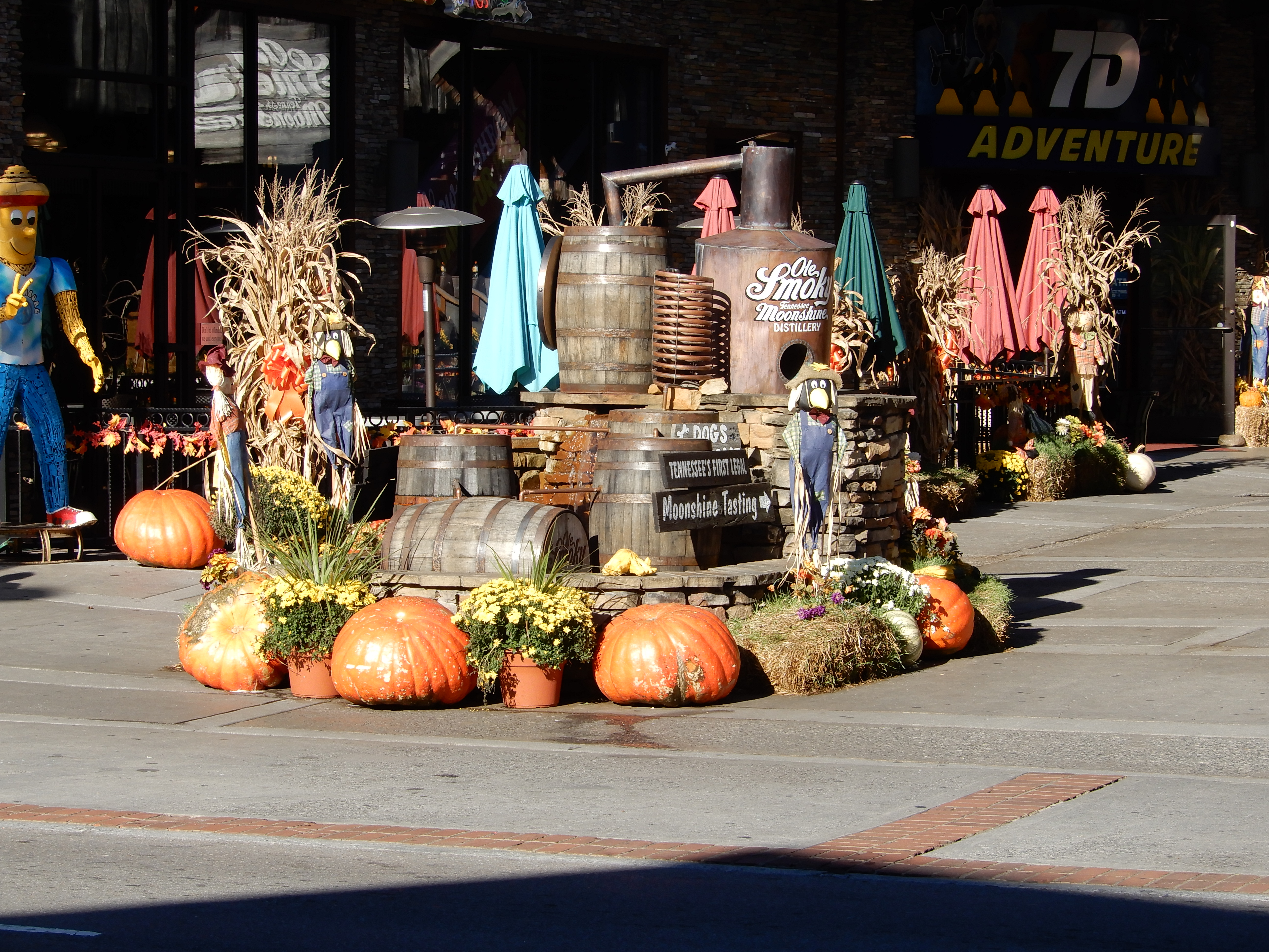
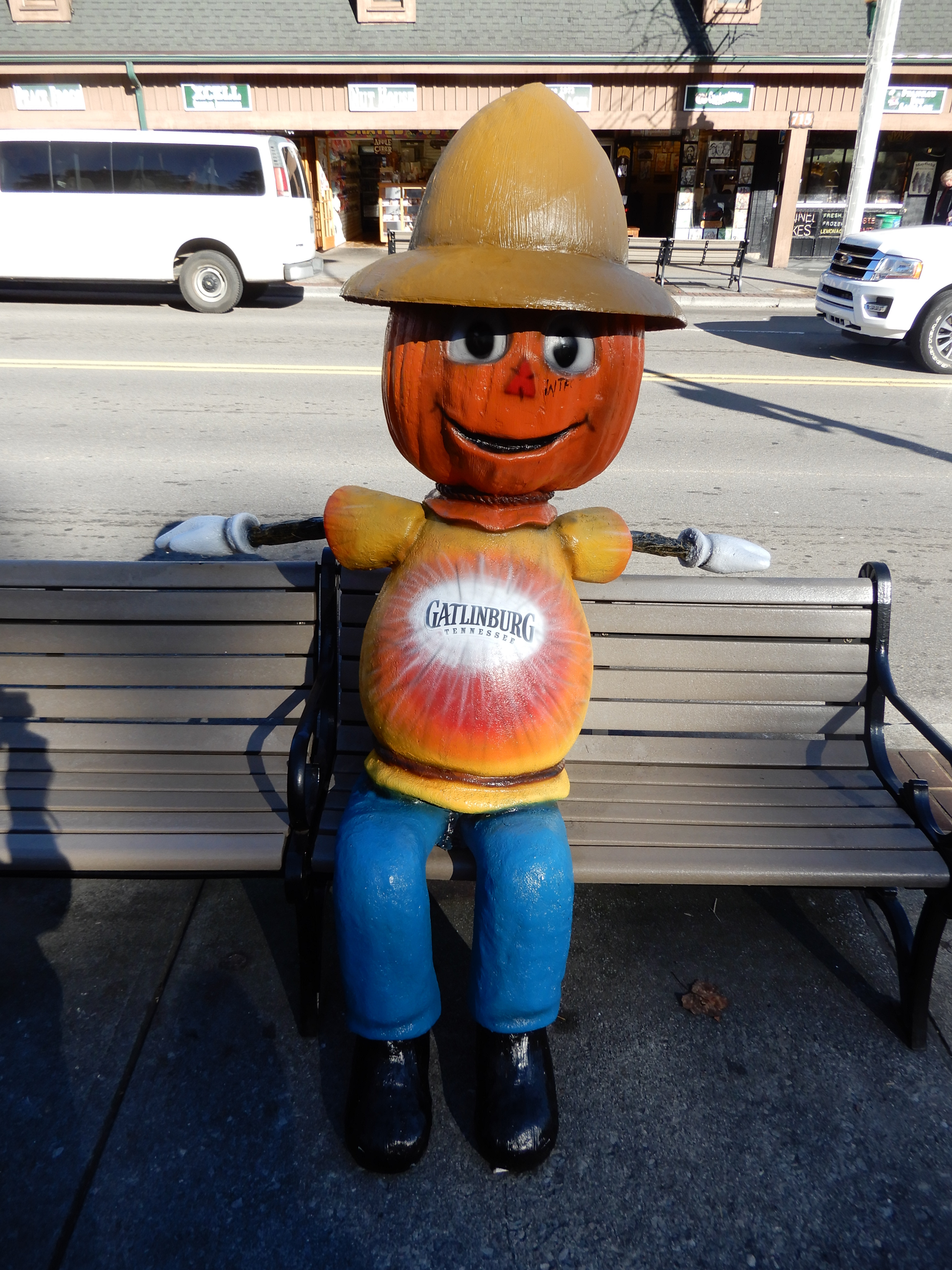
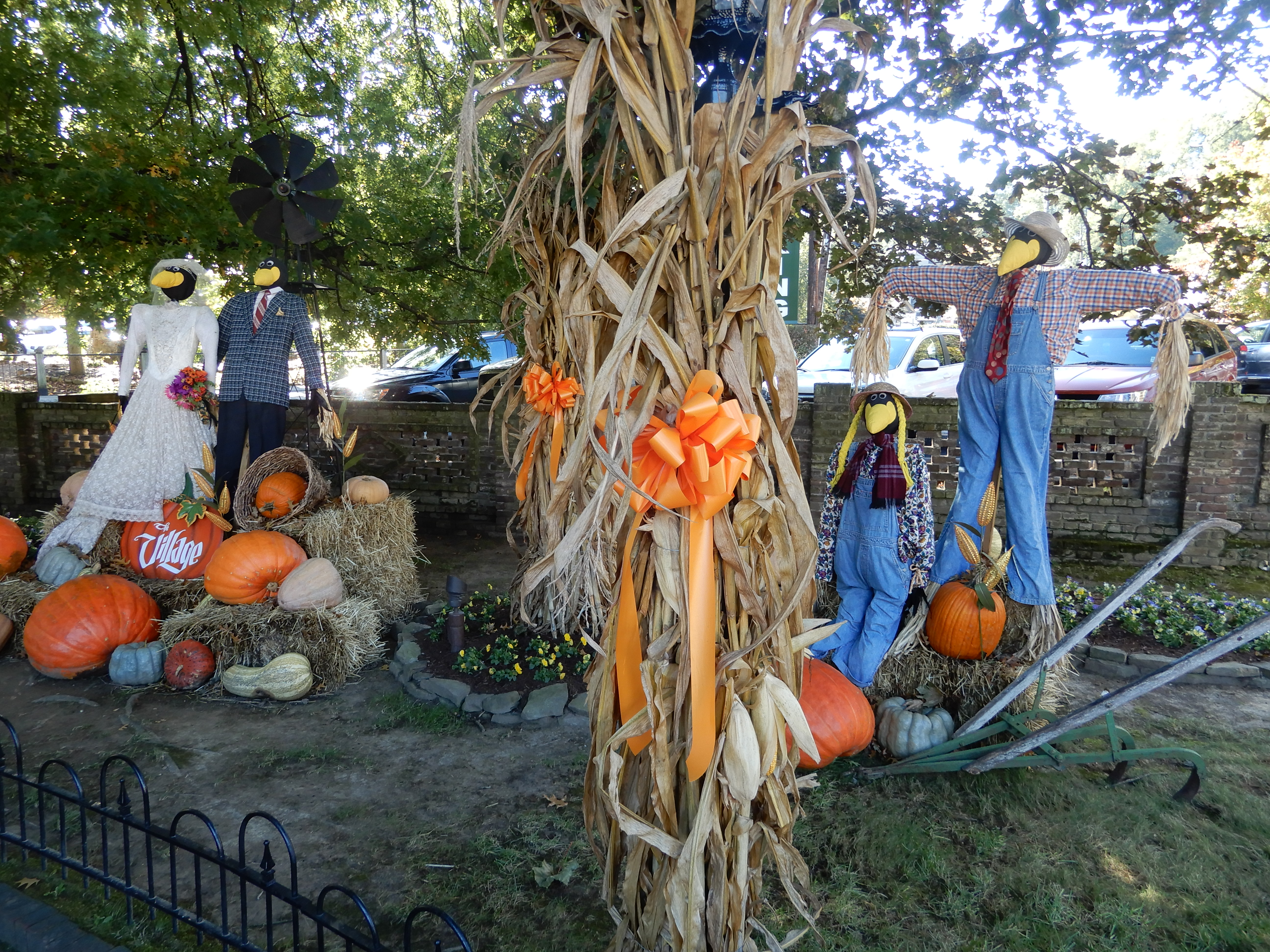
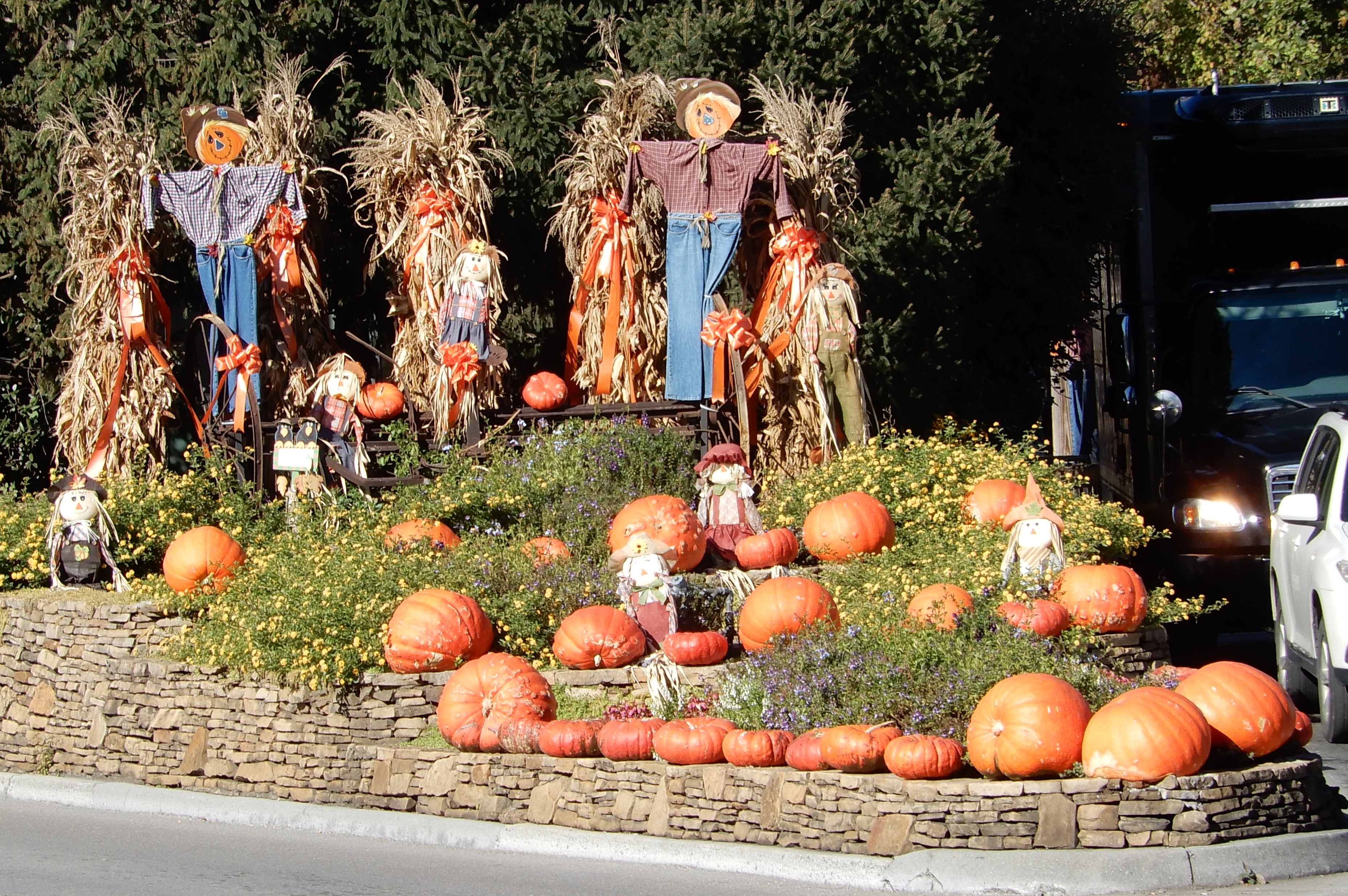
We walked around to see the usual sights.
Another day we drove up to Clingman’s Dome. Along the way we stopped to take a look at Chimney Tops. I’ve hiked to the top twice. The trail is steep, but the views from up there are fantastic.
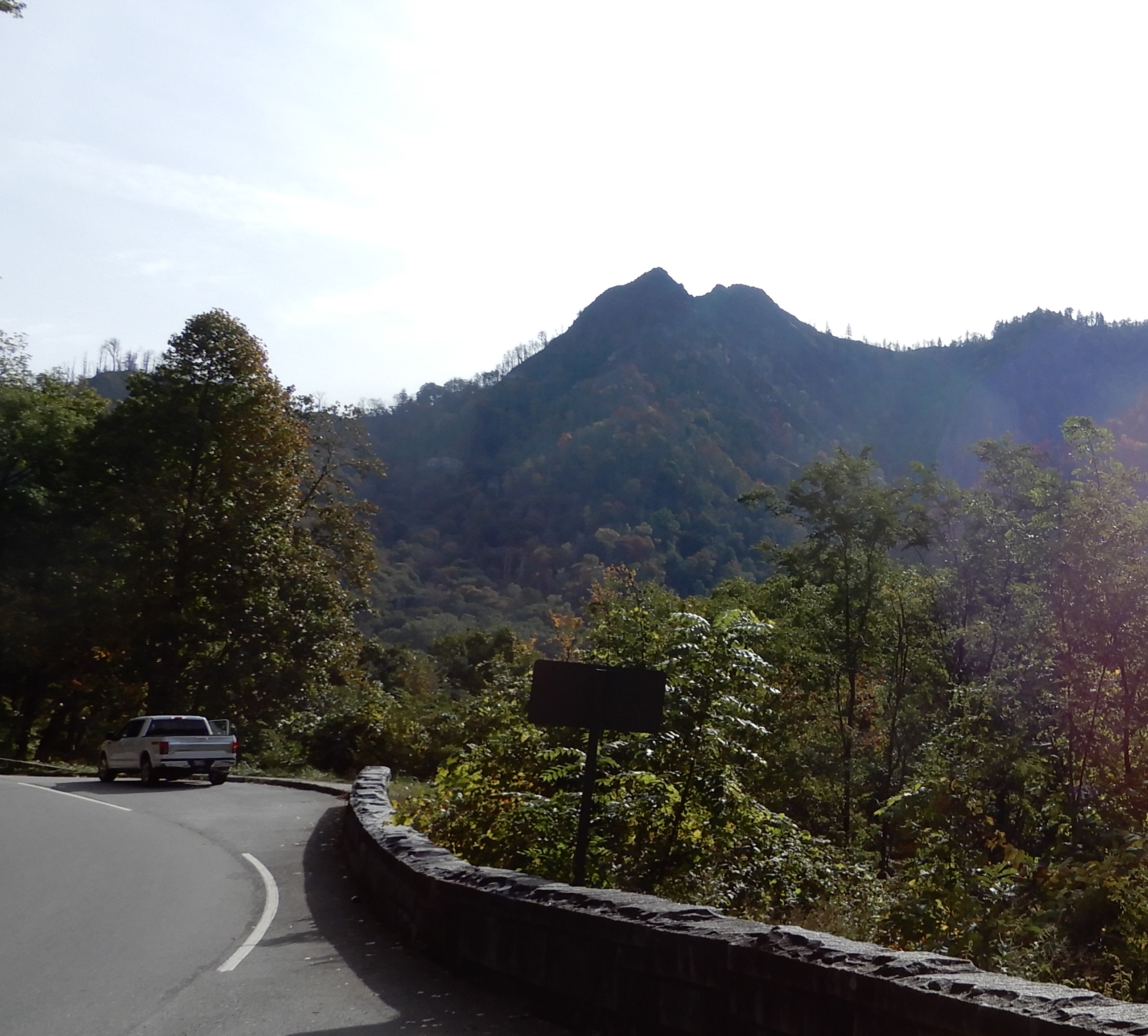
We continued driving up.
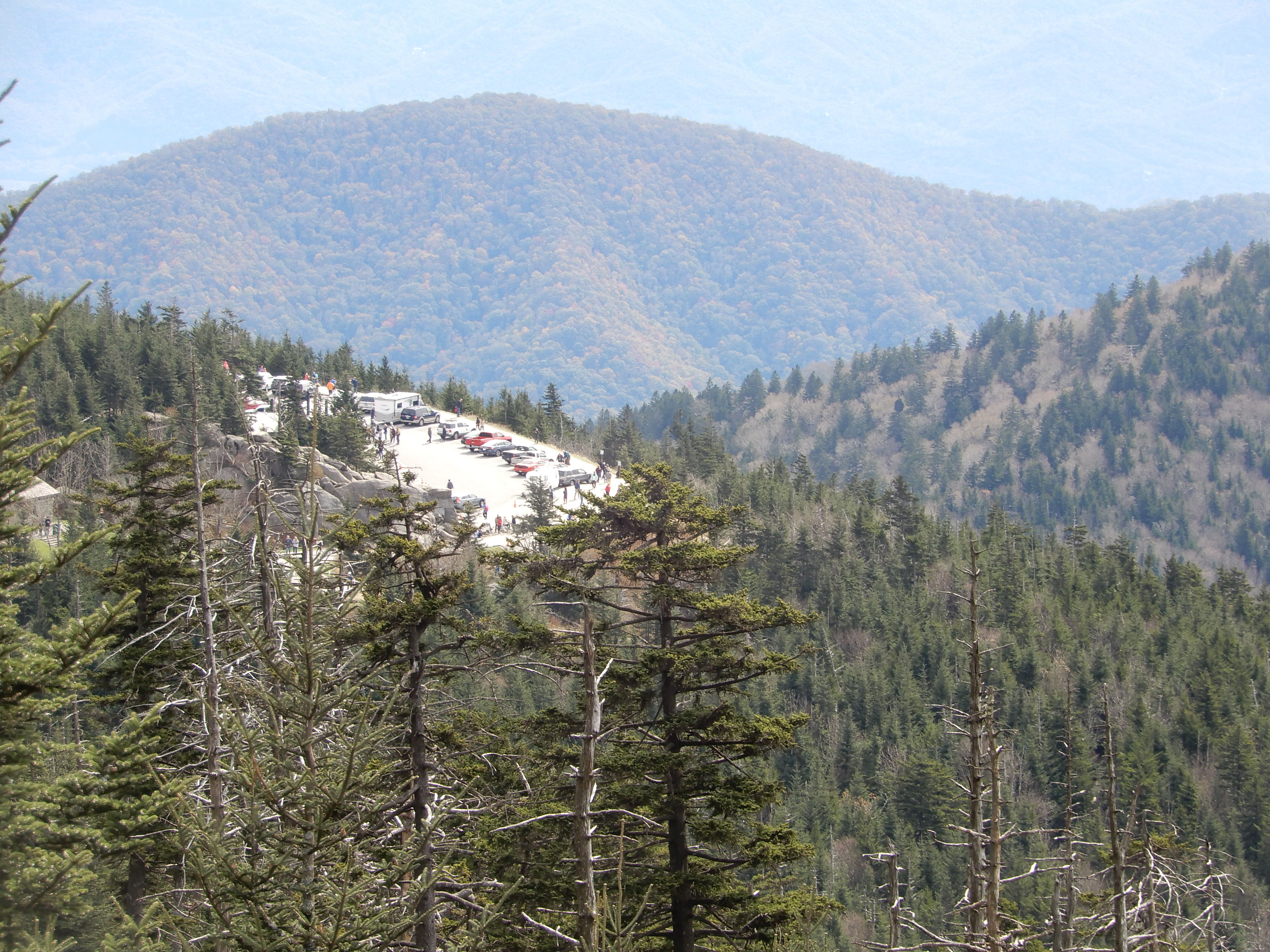
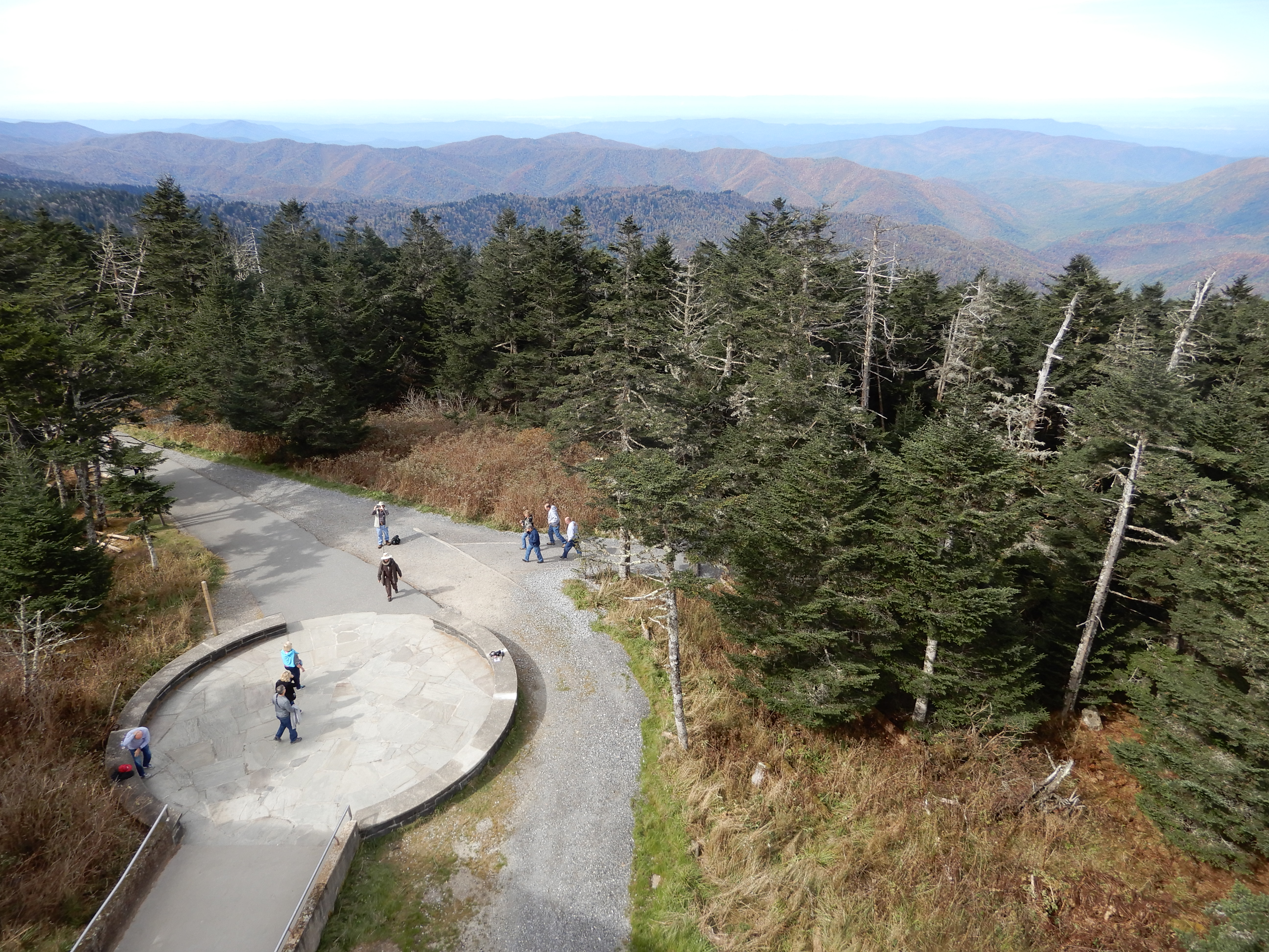
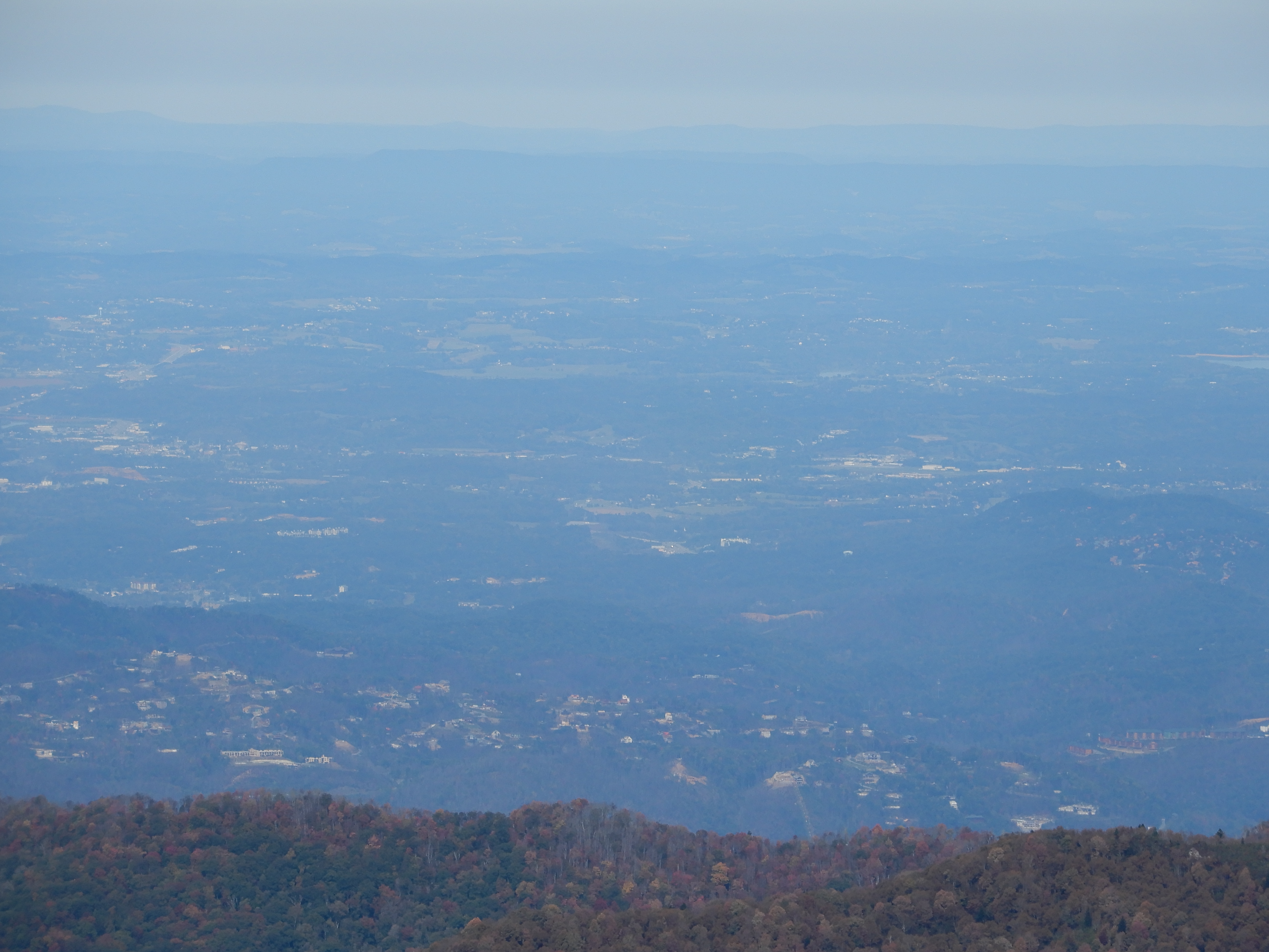
Even better views from the Clingman’s Dome parking lot.
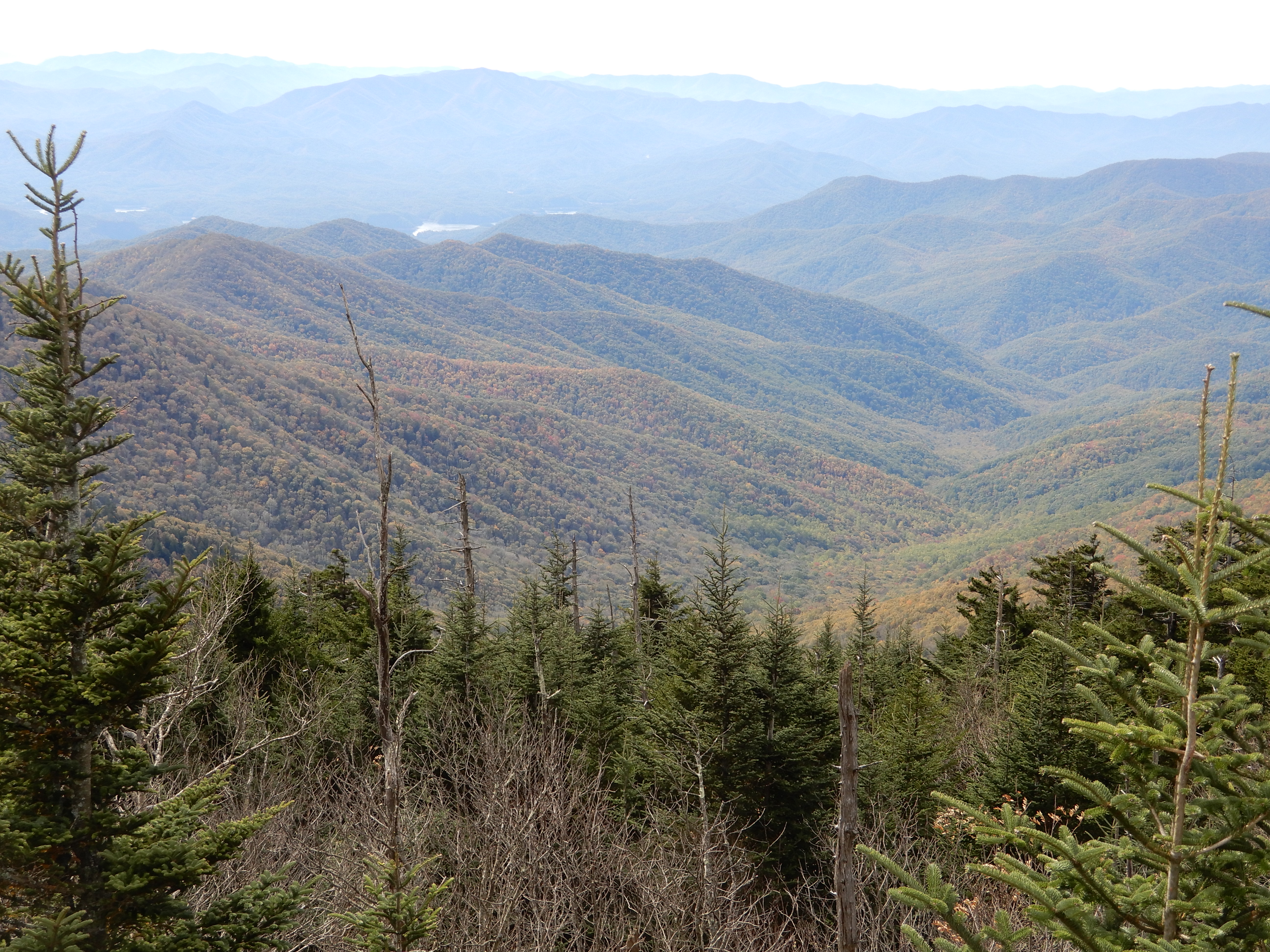
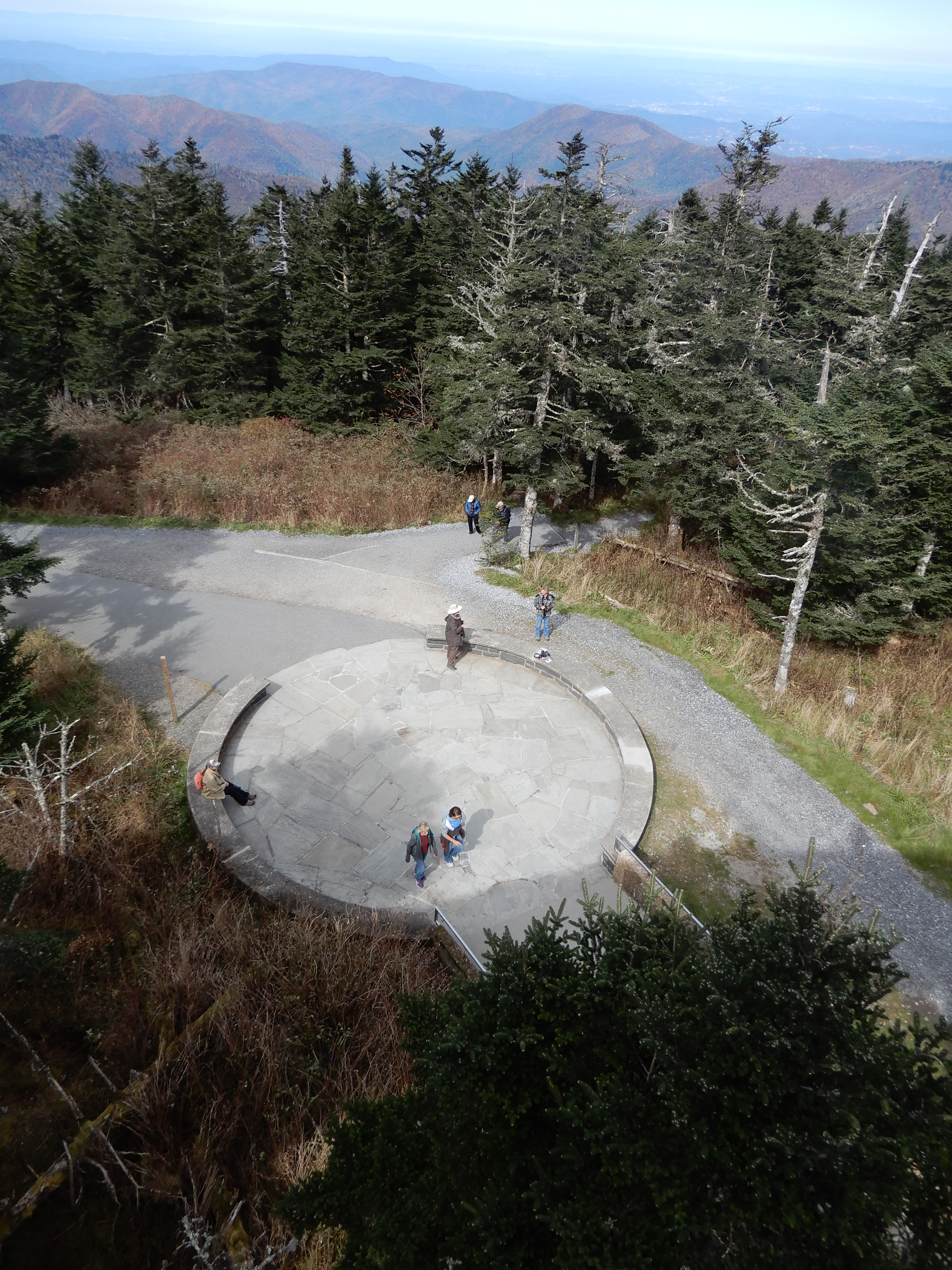
Walking up to the Dome gave even better views, like this one gazing down on the parking lot.
And these gazing up at the Dome.
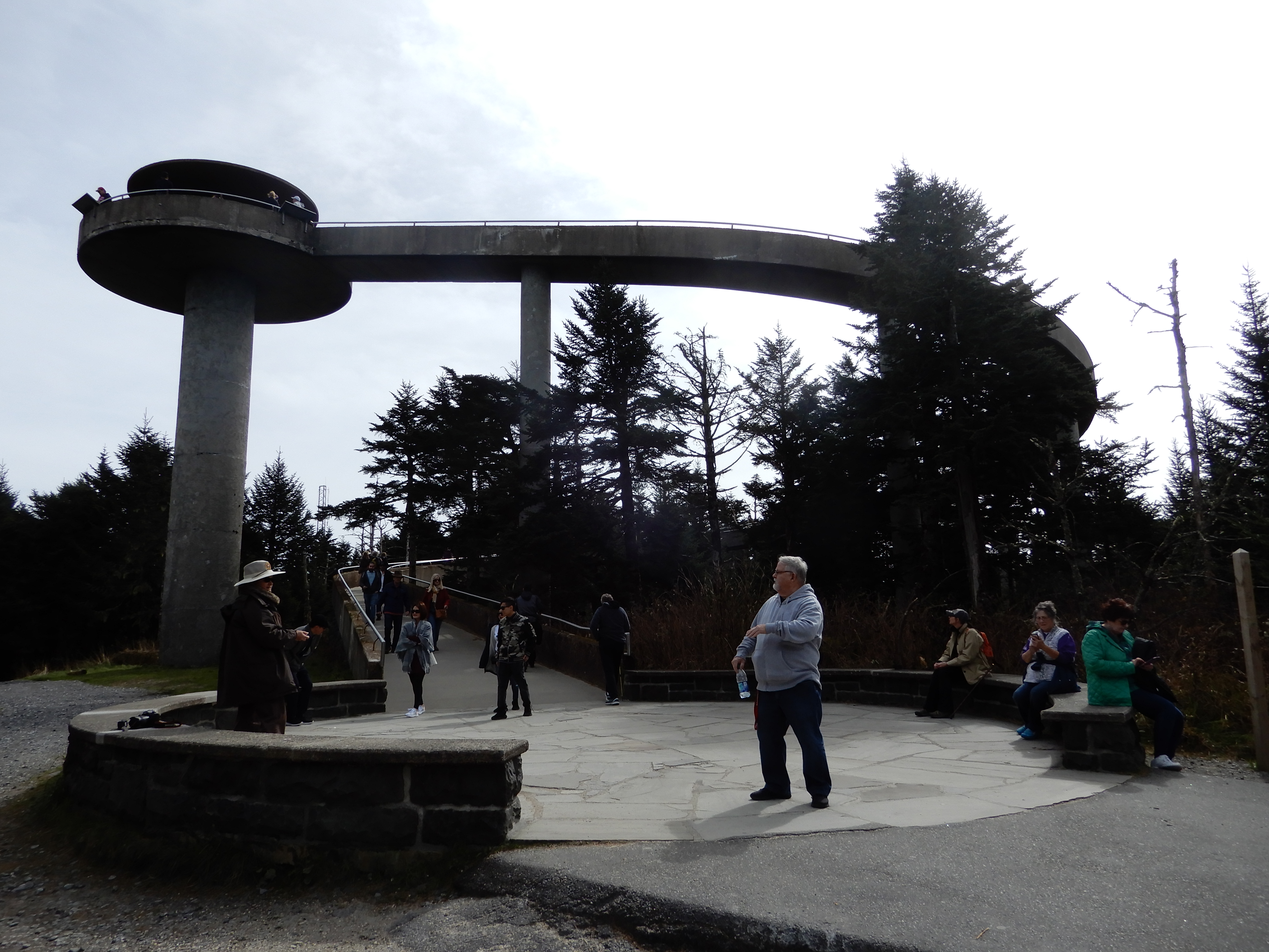
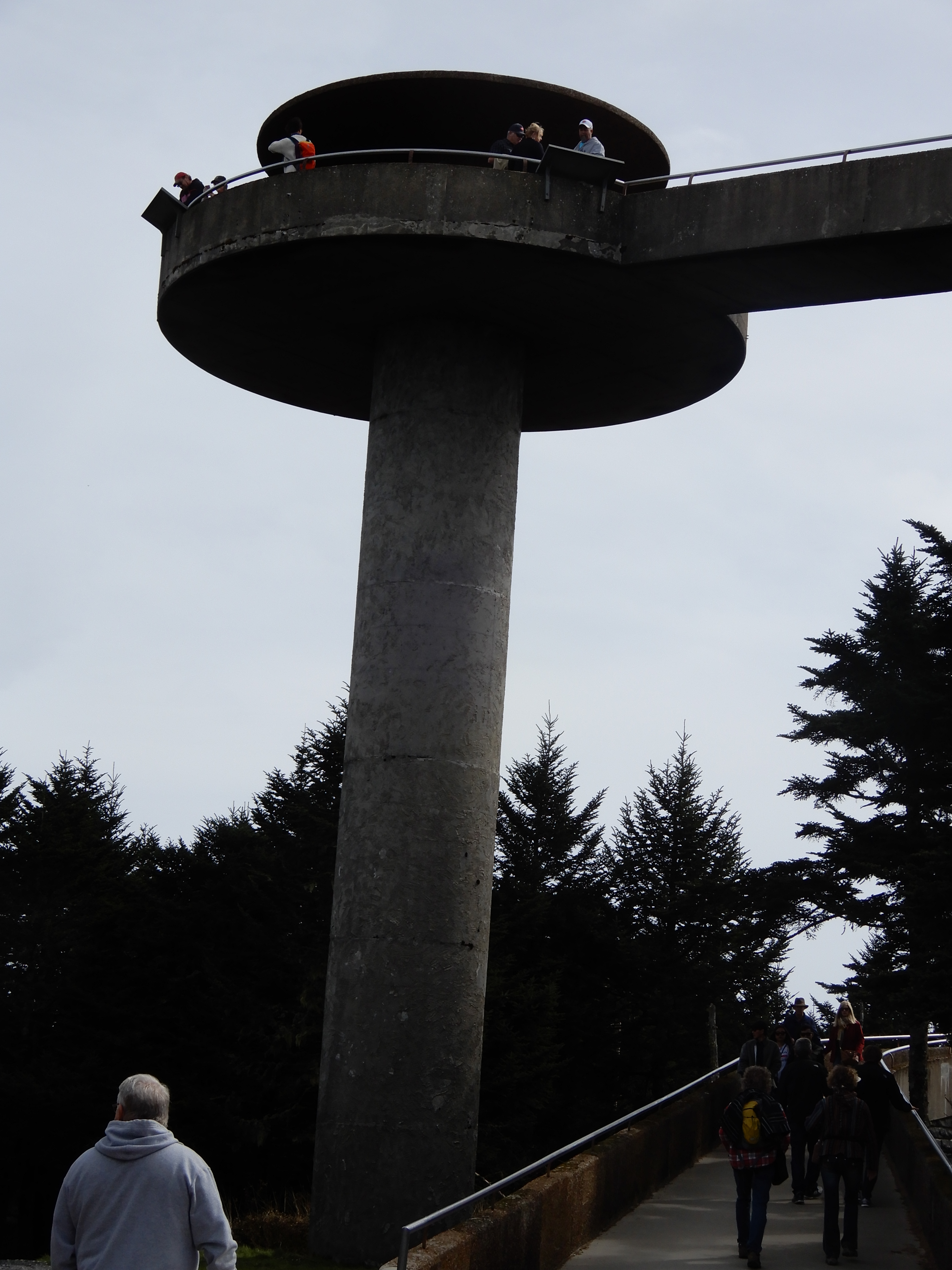
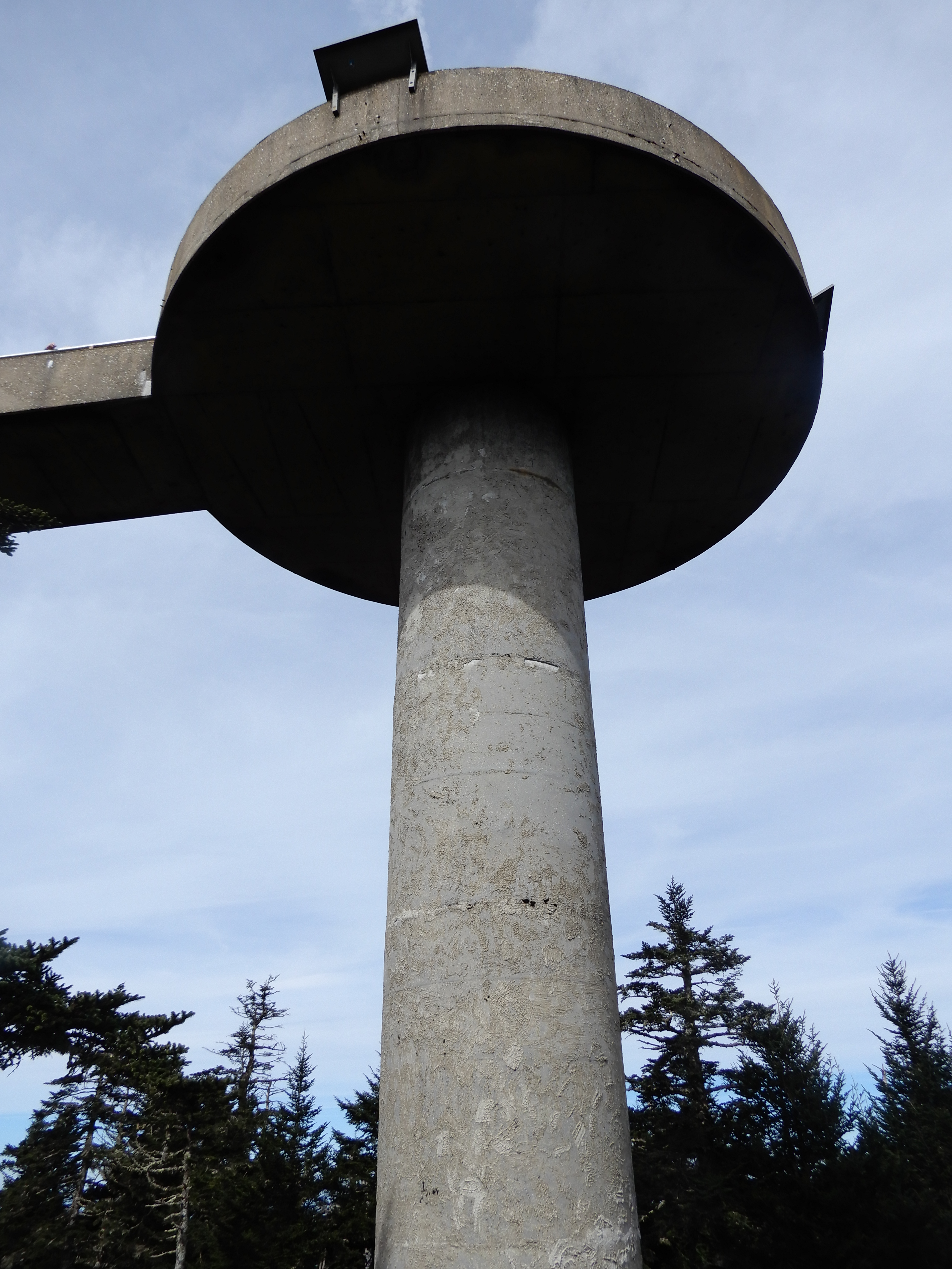
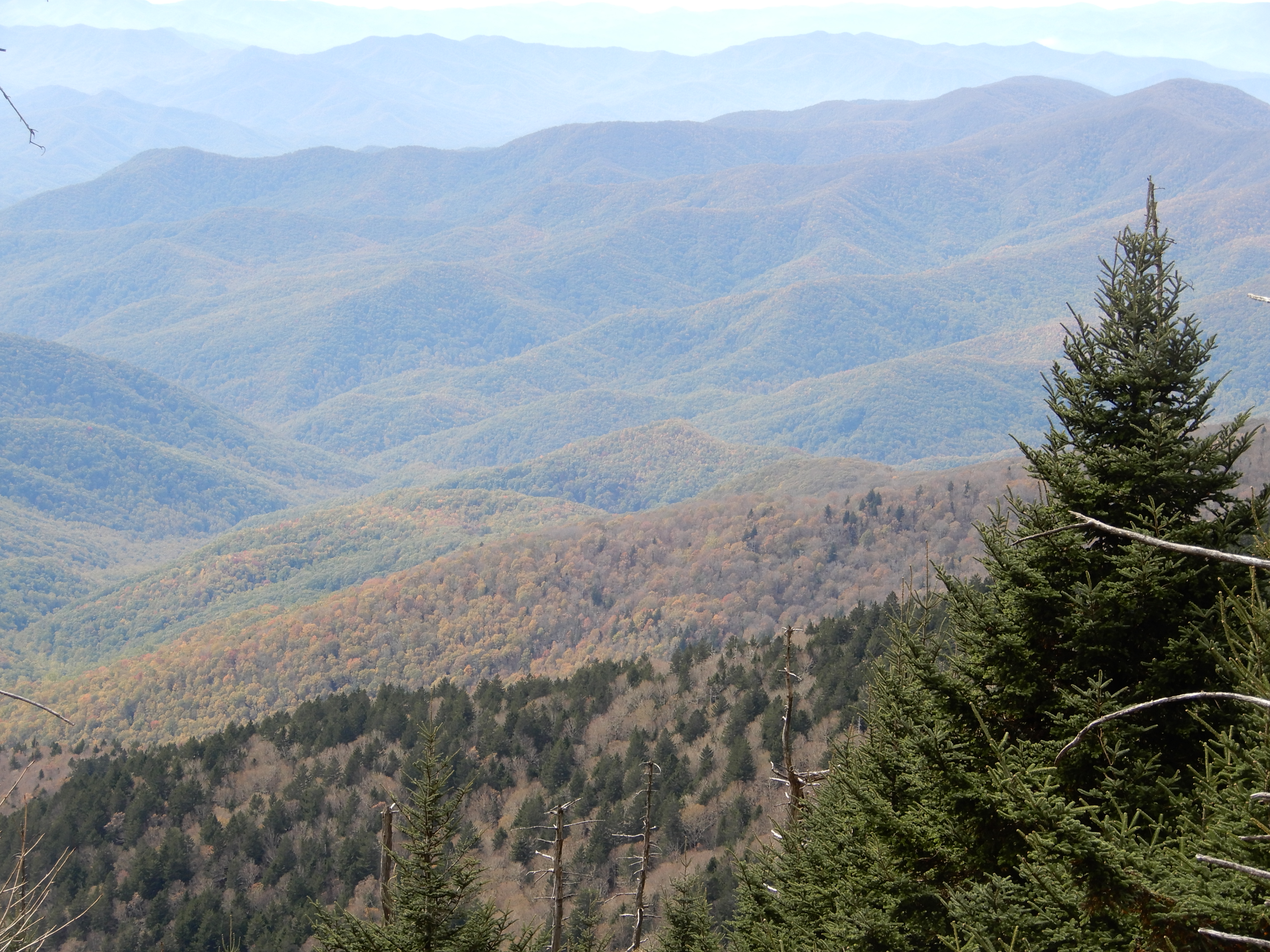
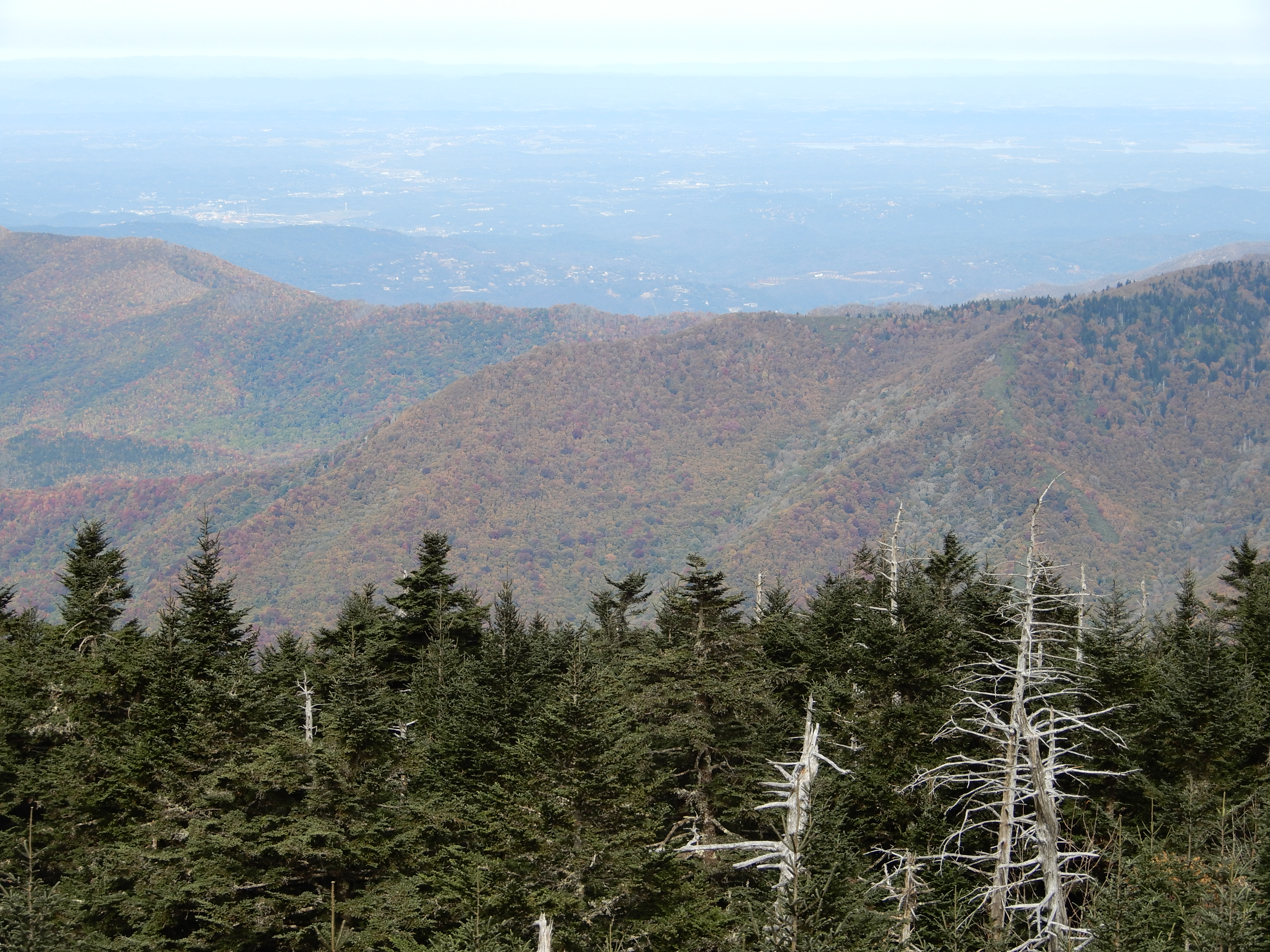
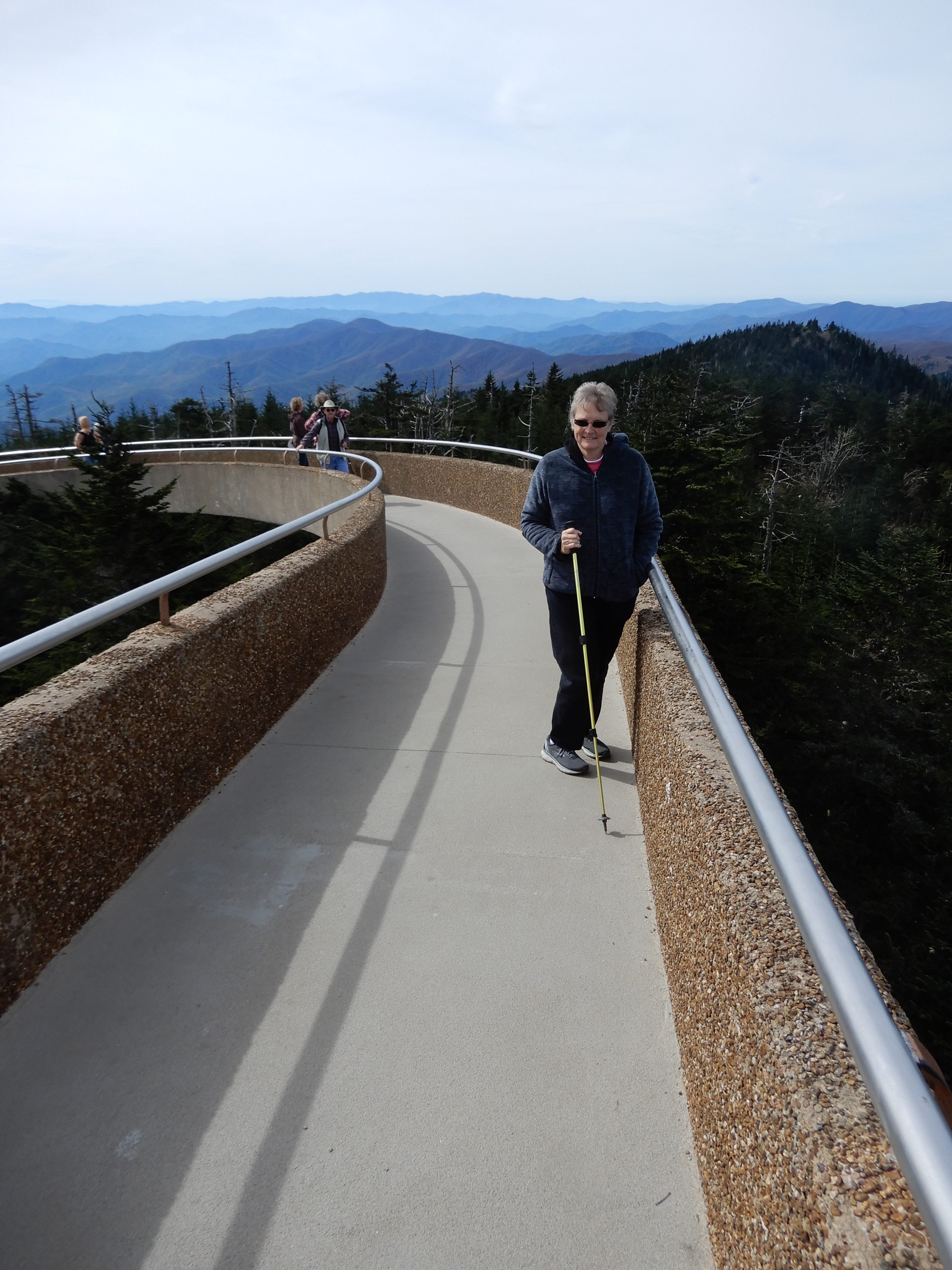
But the best views were up on top of the Dome.
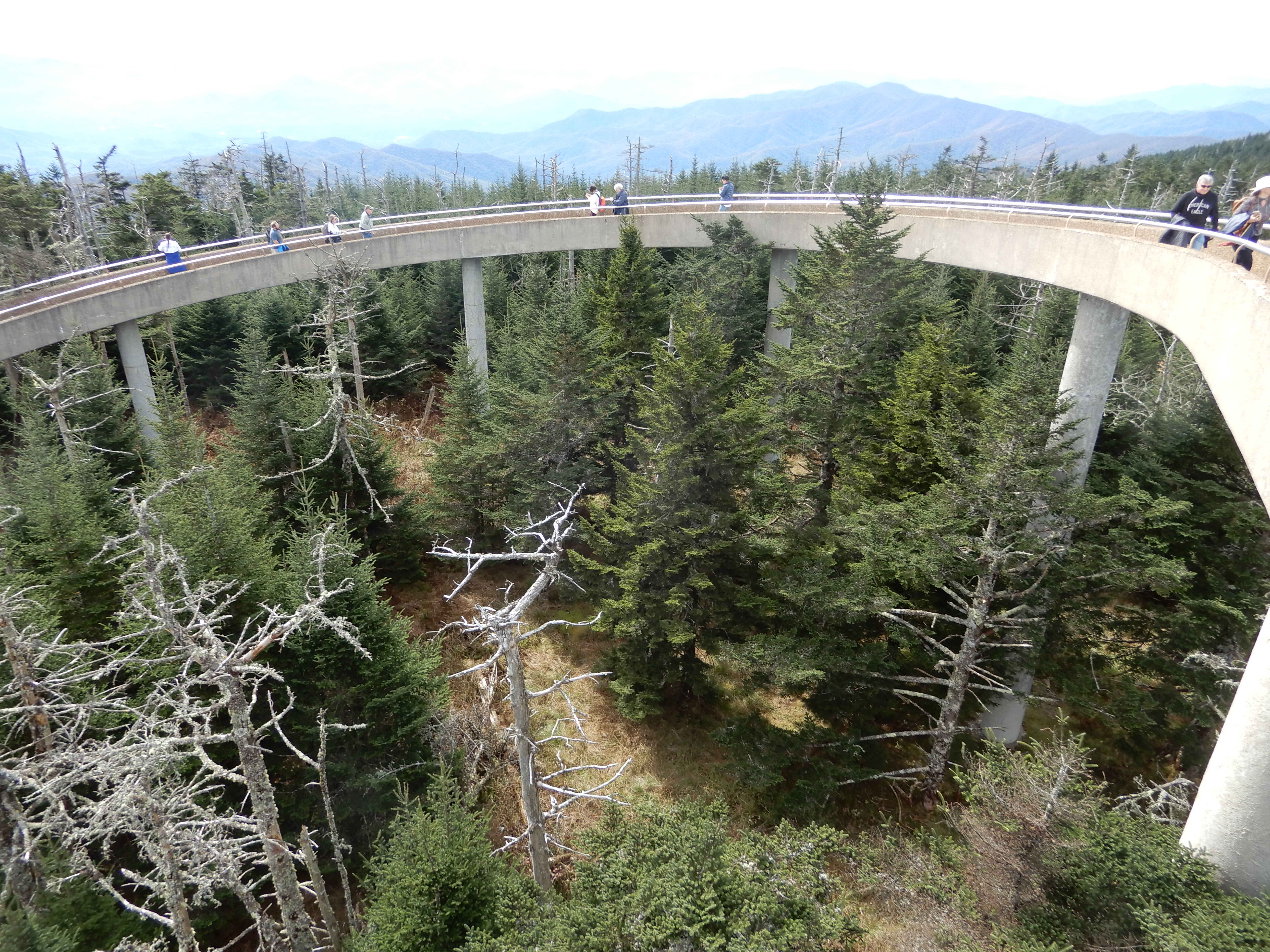
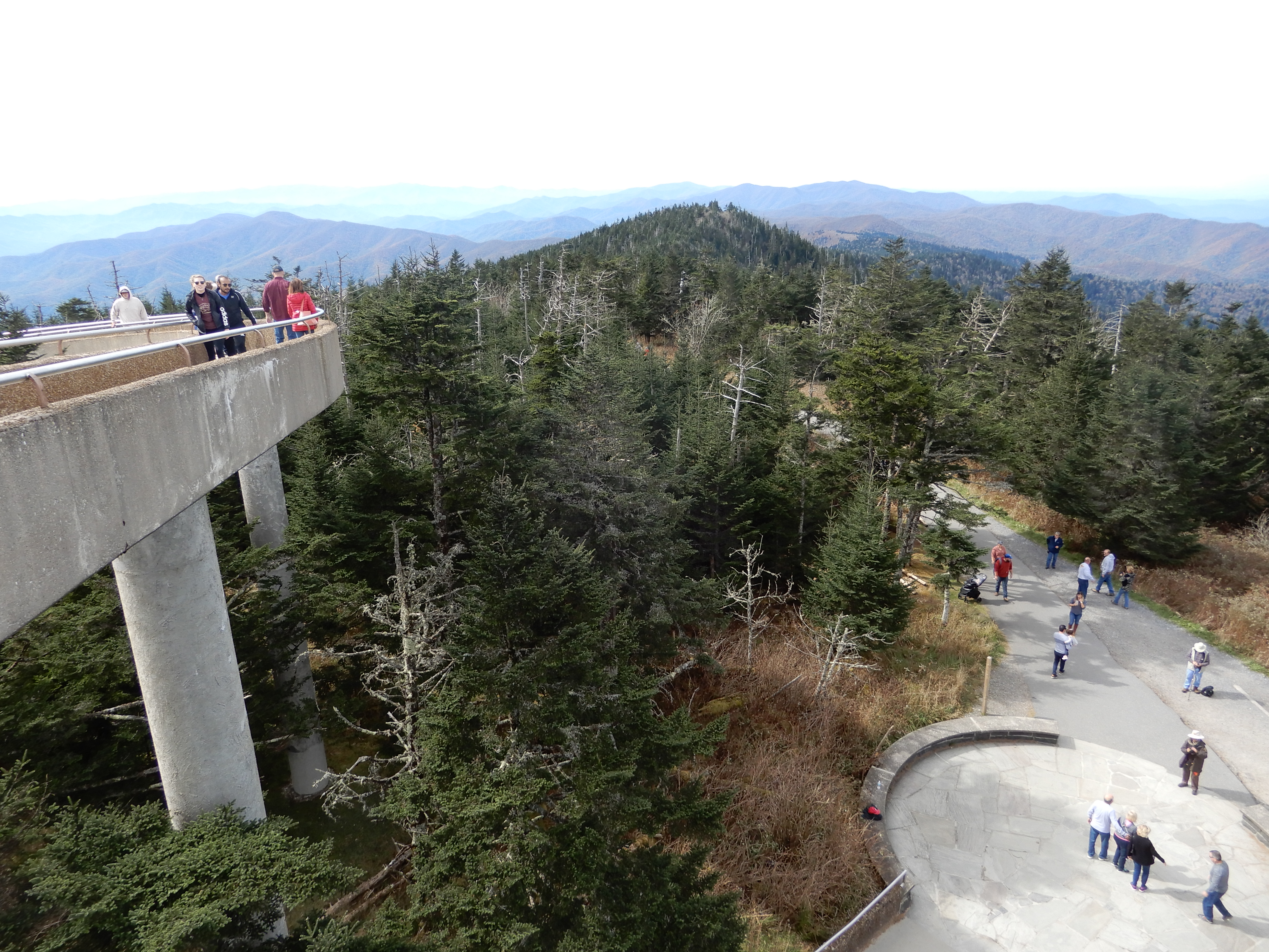
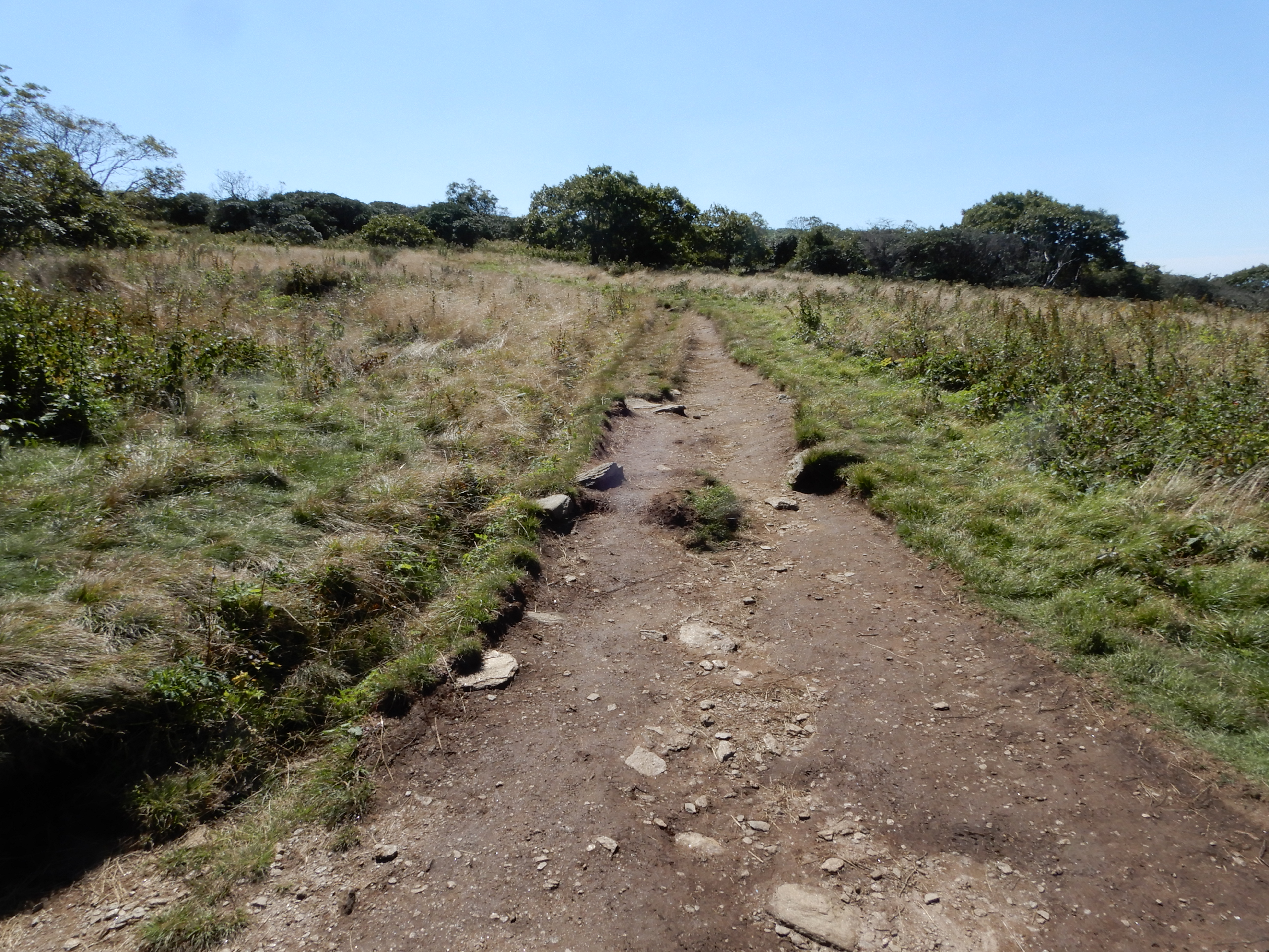
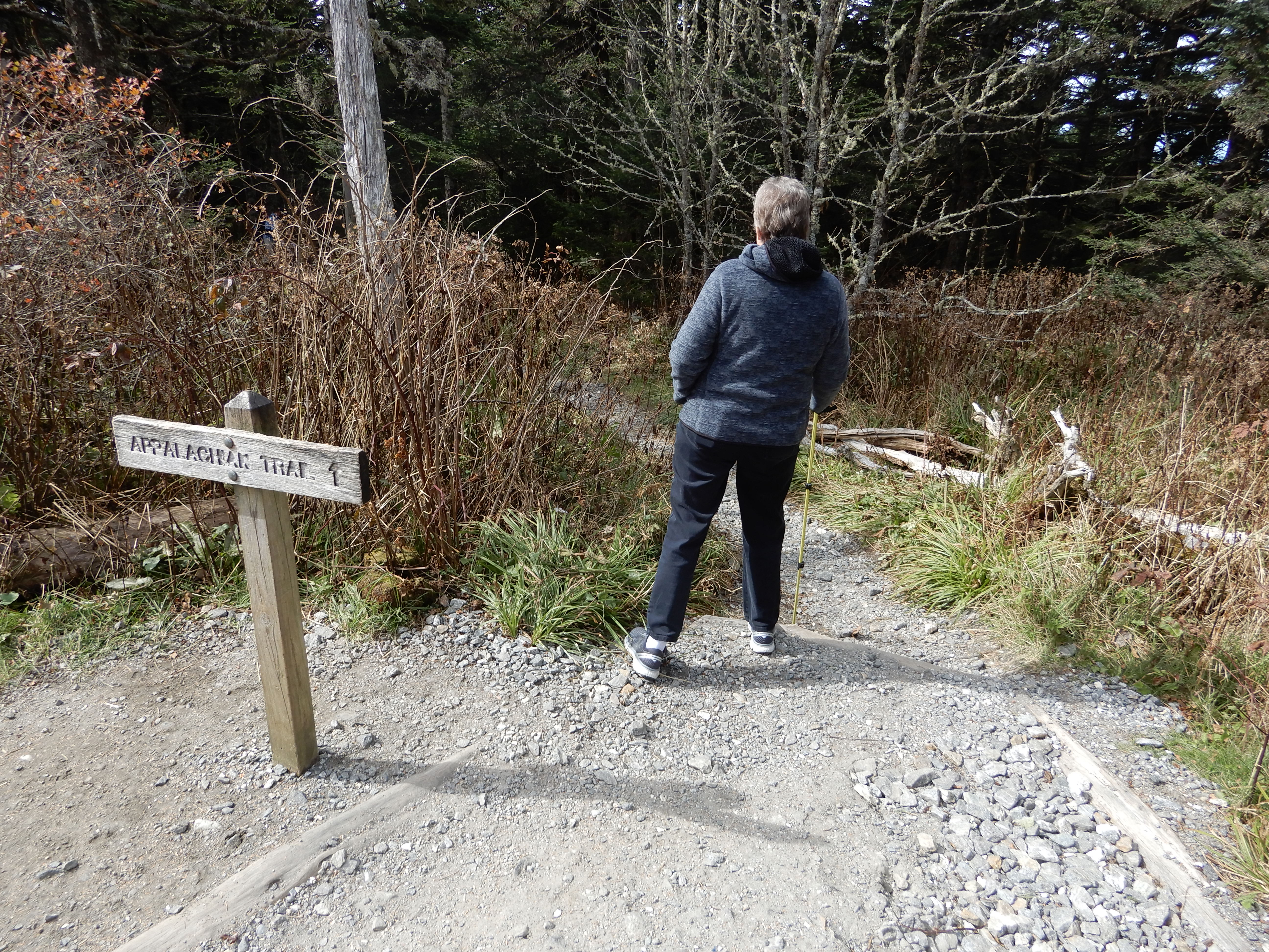
See the gravel path that joins the cement walkway? That’s part of the Appalachian Trail. It crosses the height Clingman’s Dome is built on.
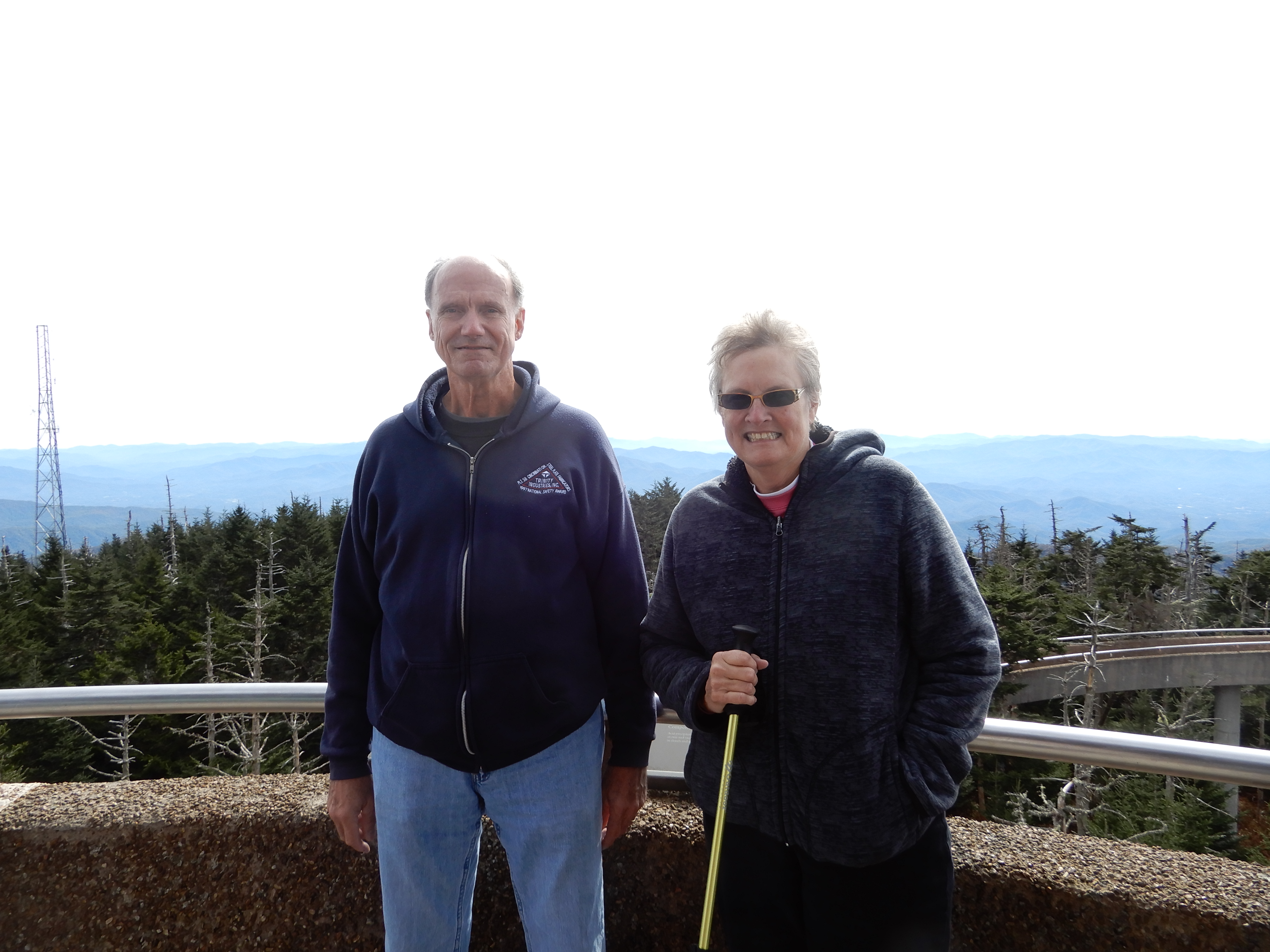
Gazing off toward Gatlinburg.
Naturally, we had to pose.
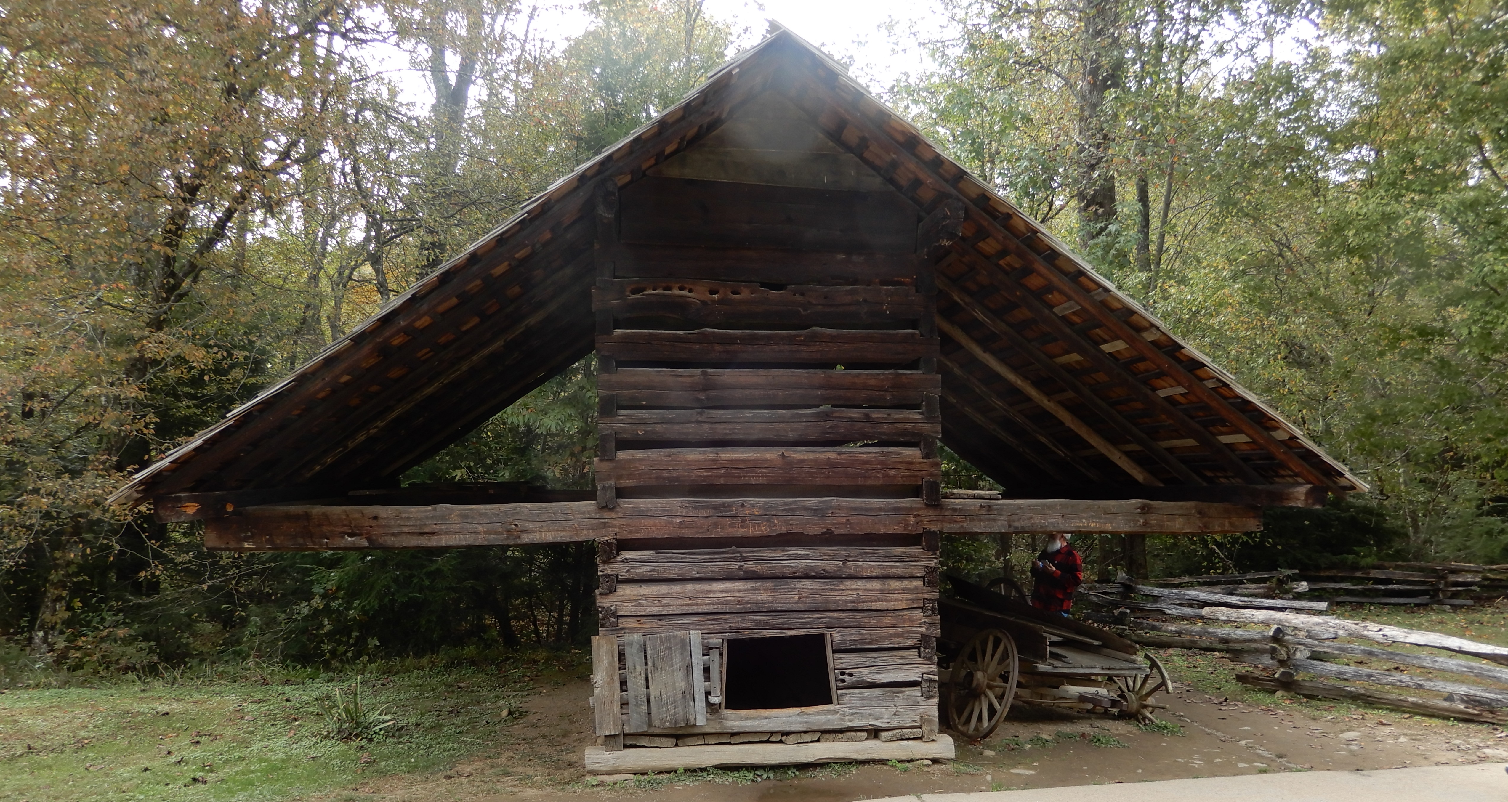
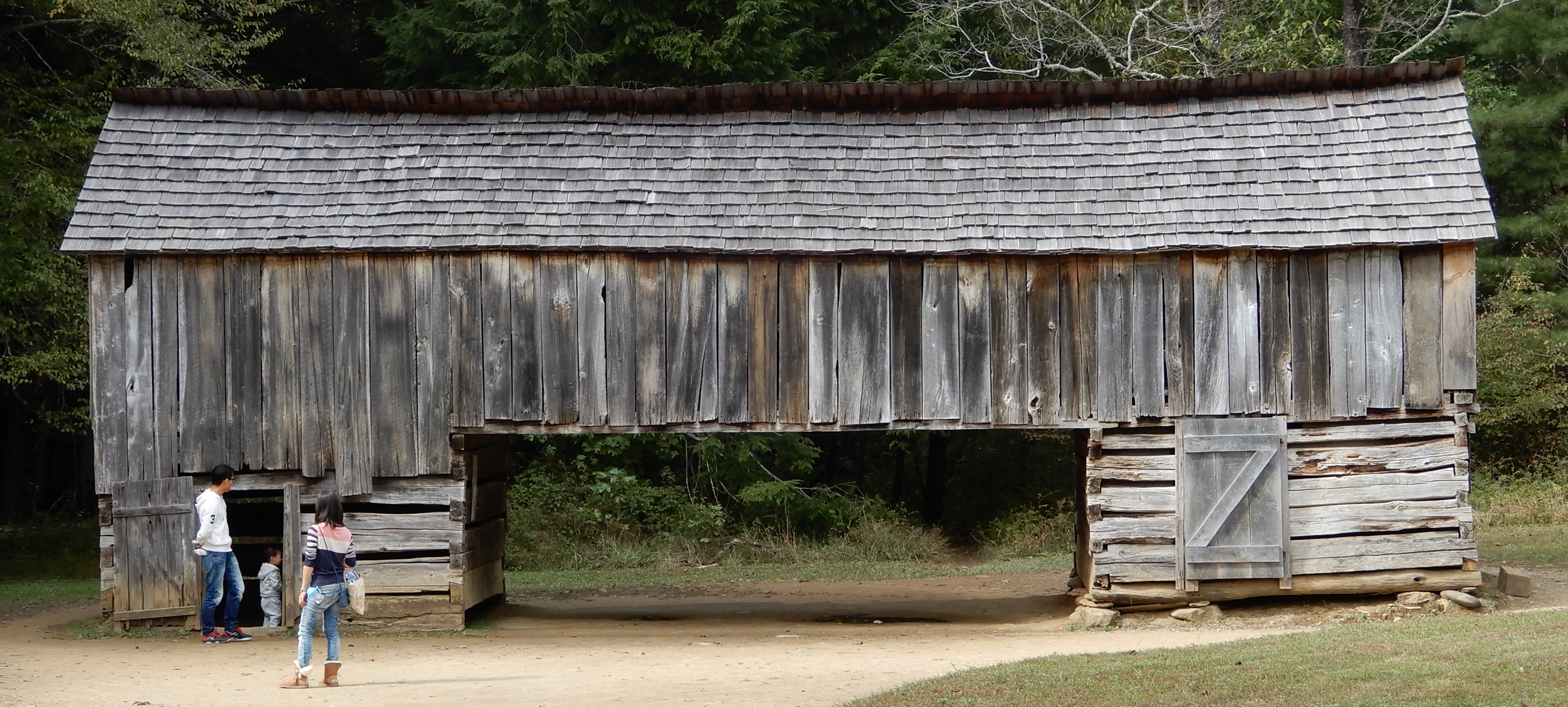
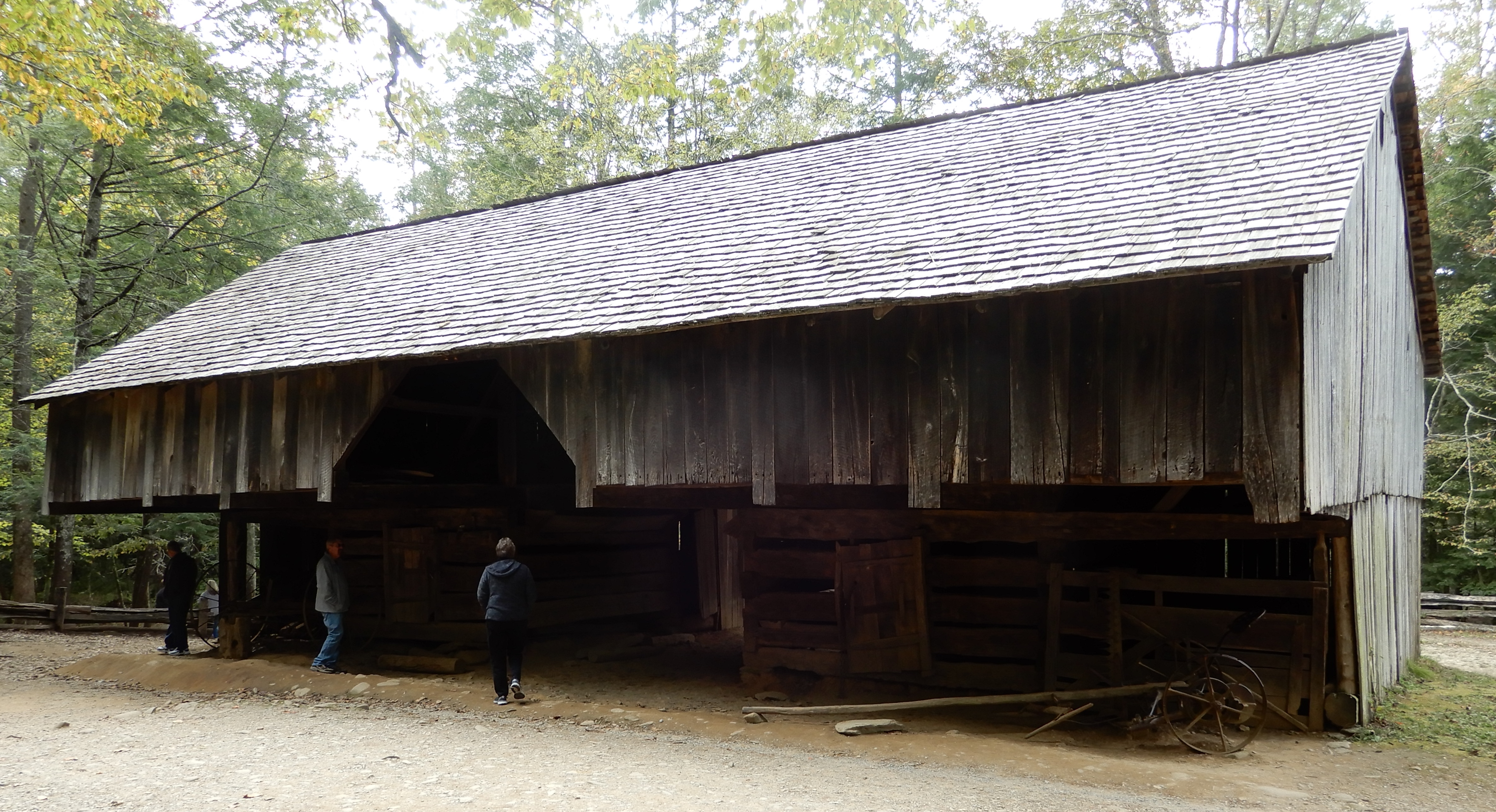
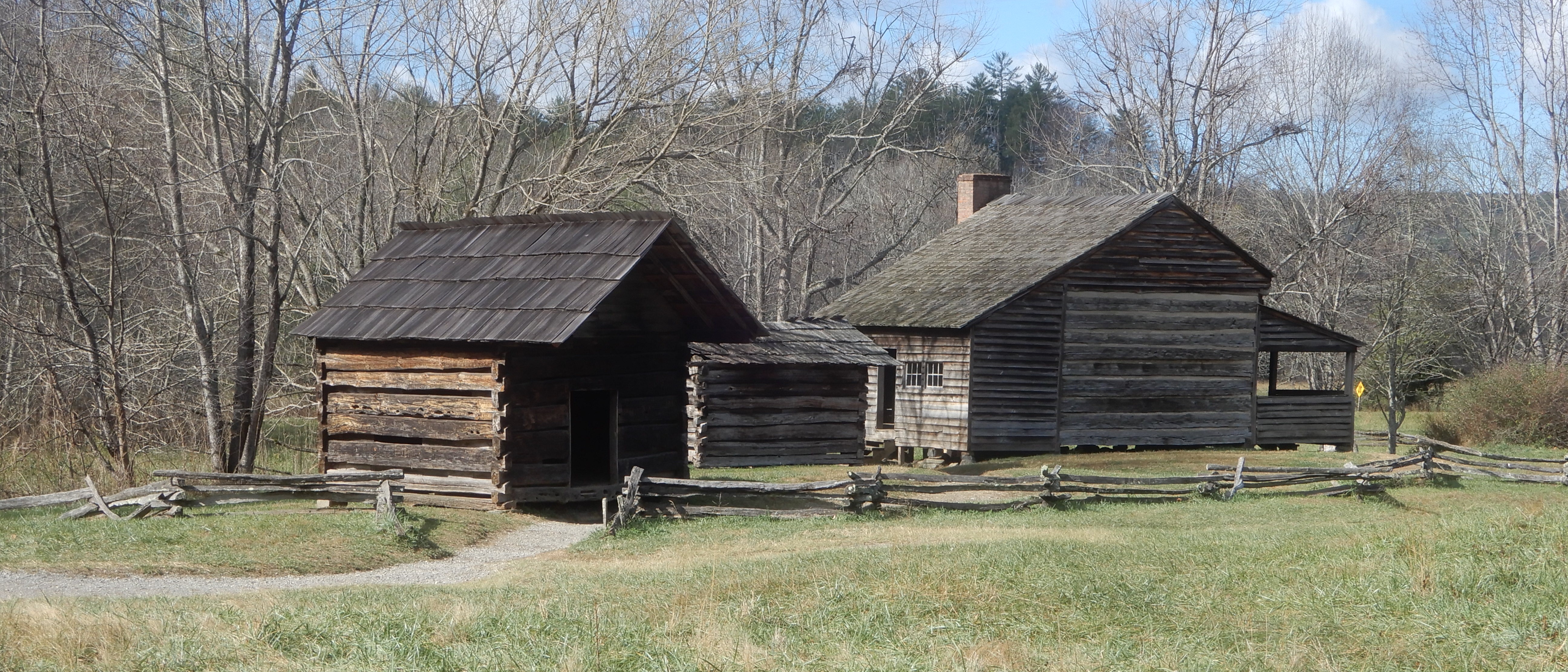
American Locations 24: Cades Cove Campground, Great Smoky Mountains National Park, Tennessee
After spending three days at Elkmont, we drove west on Little River Gorge Road, stopping several times along the way. Such as a side trip to Tremont.

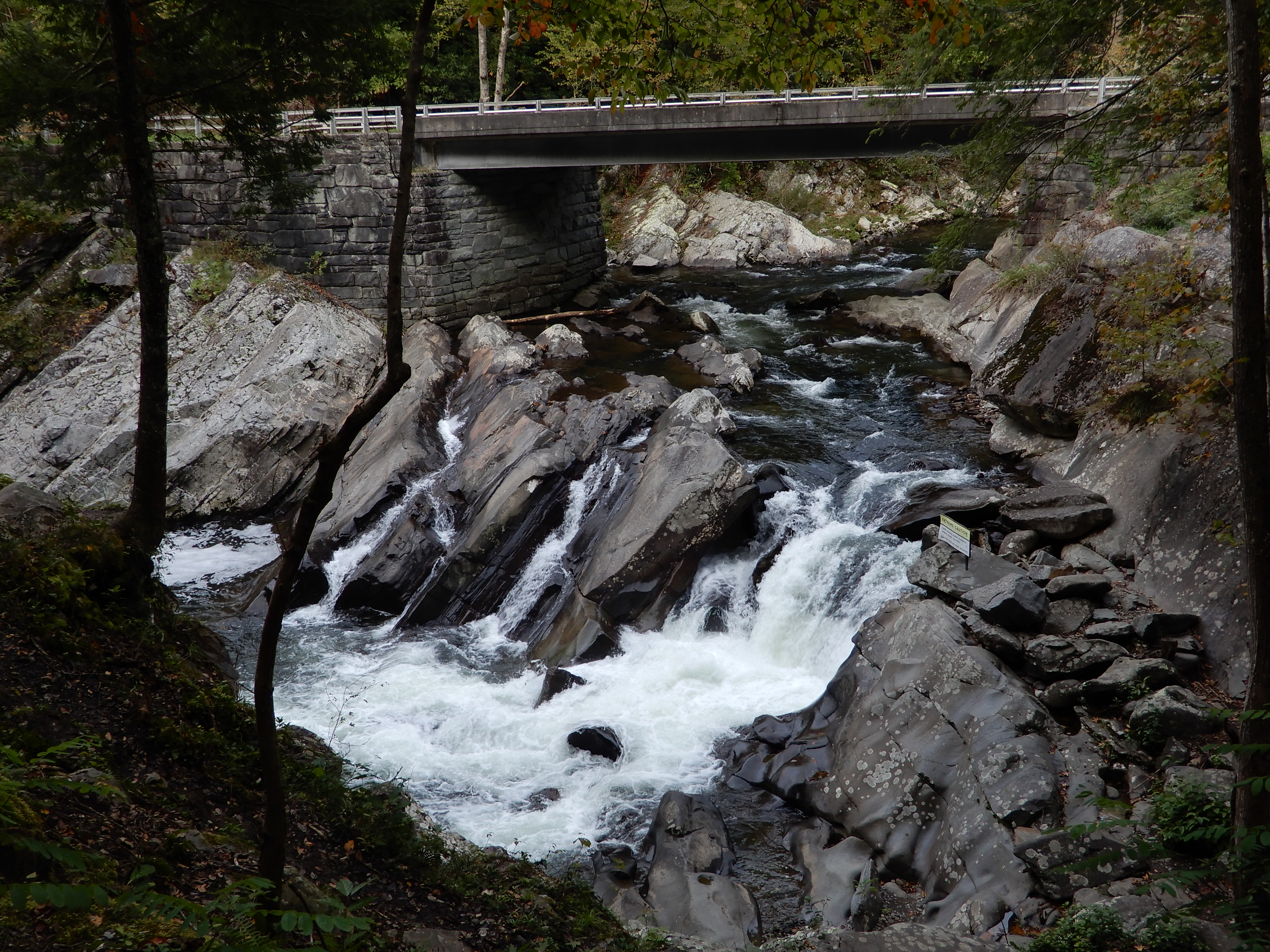
And the Sinks.
We turned onto Laurel Creek Road and set up in Cades Cove Campground.
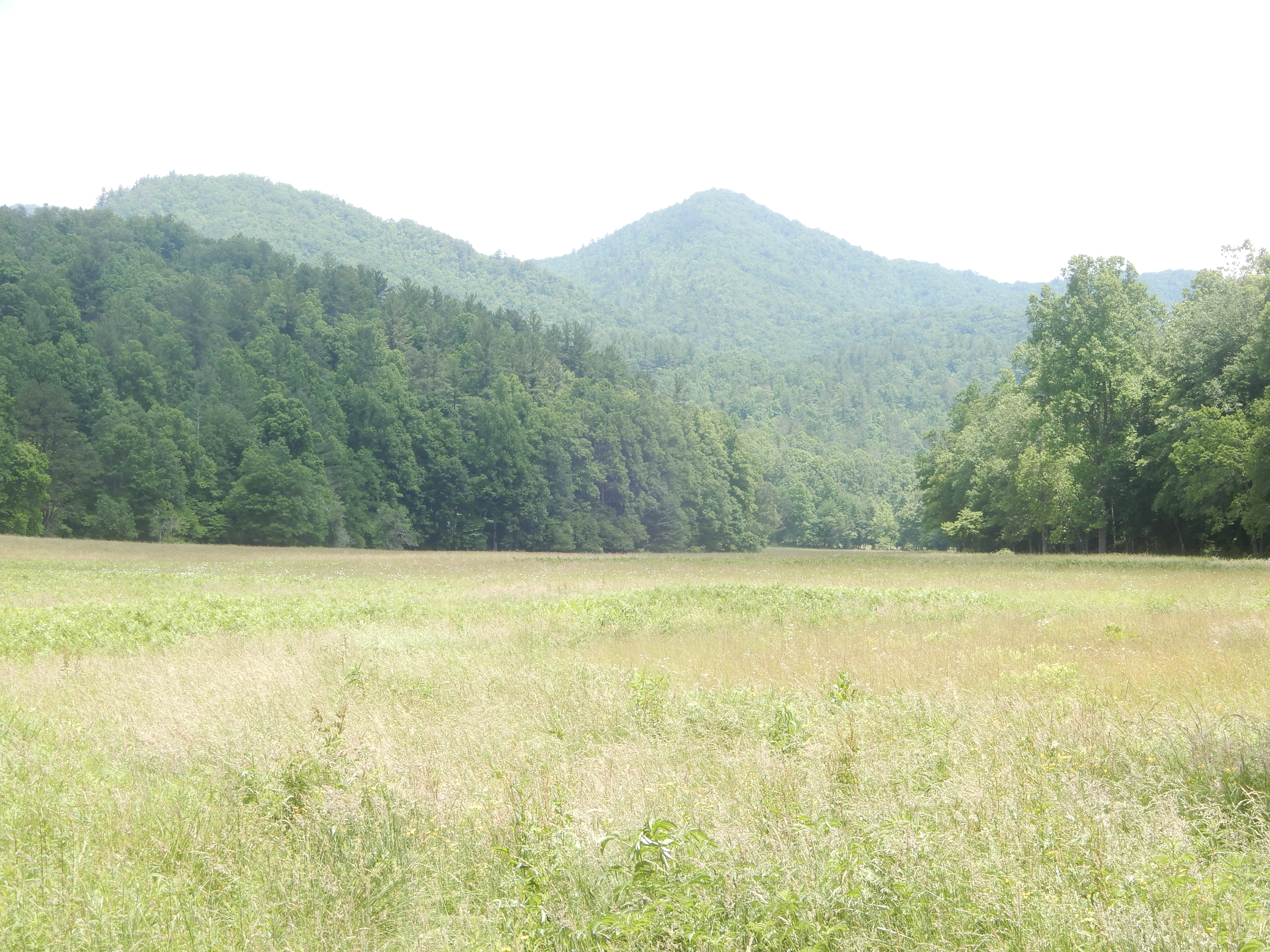
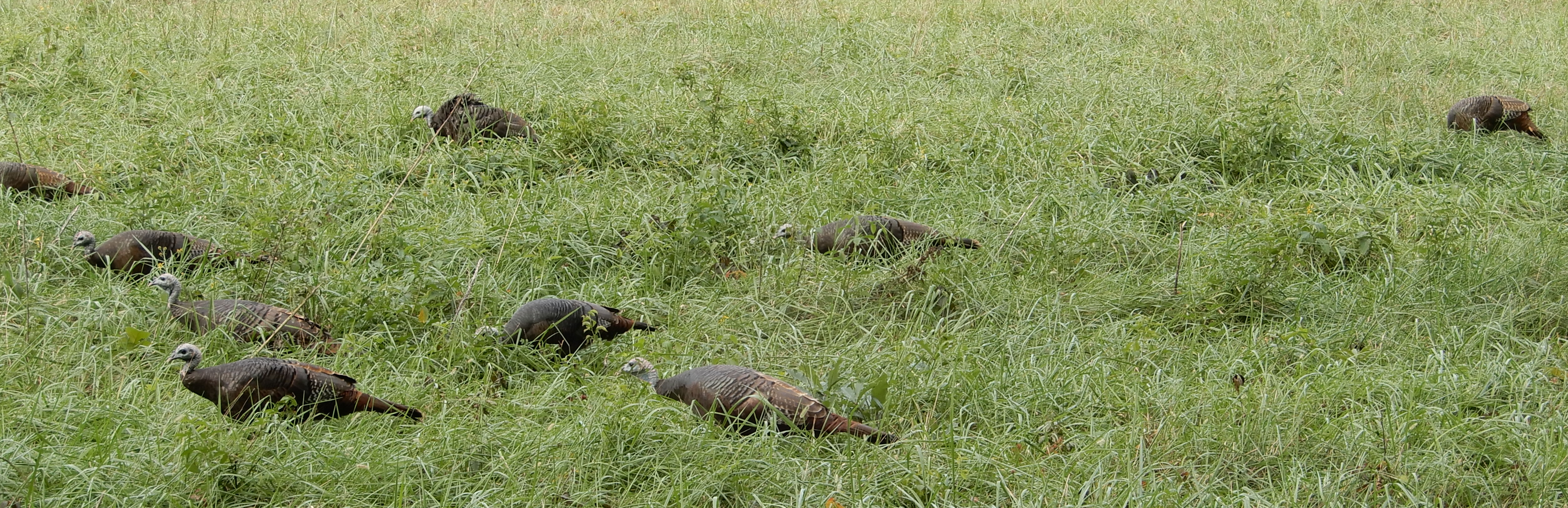
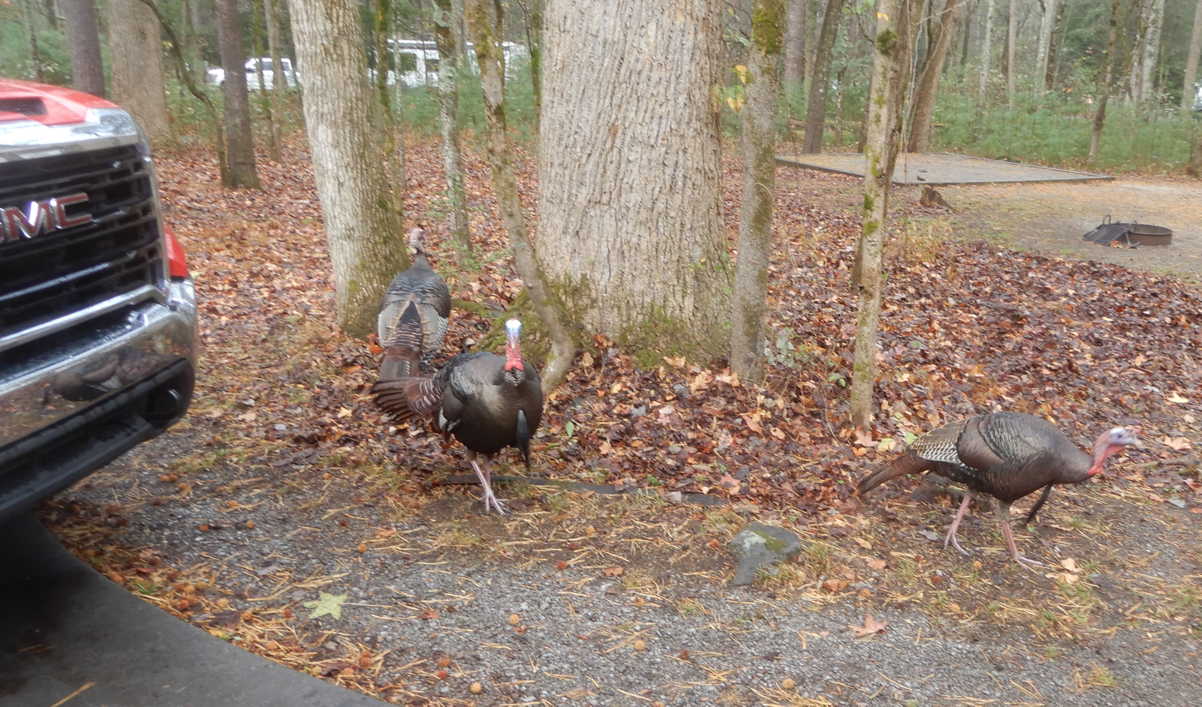
Naturally, we drove the loop, making frequent stops.
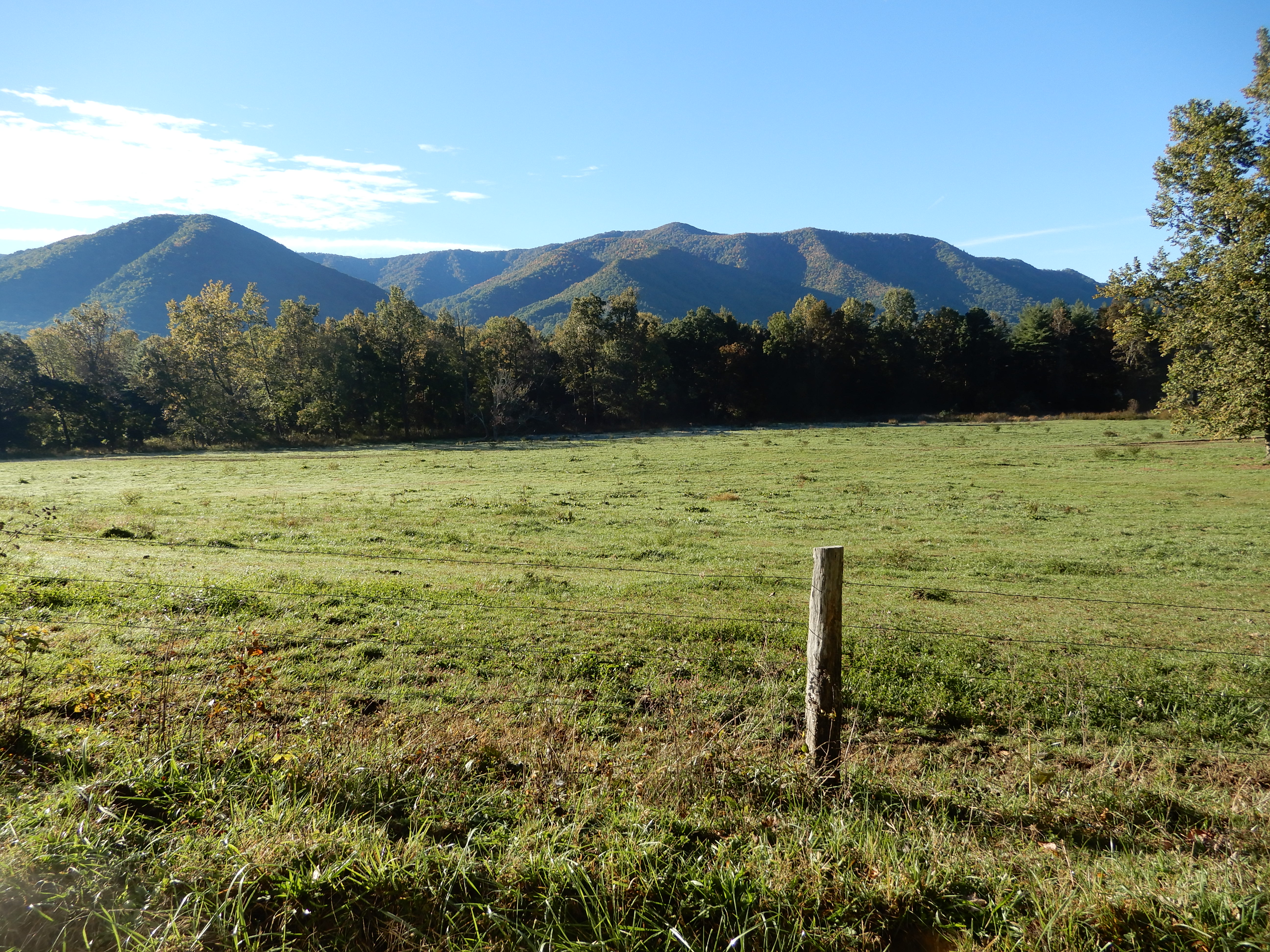
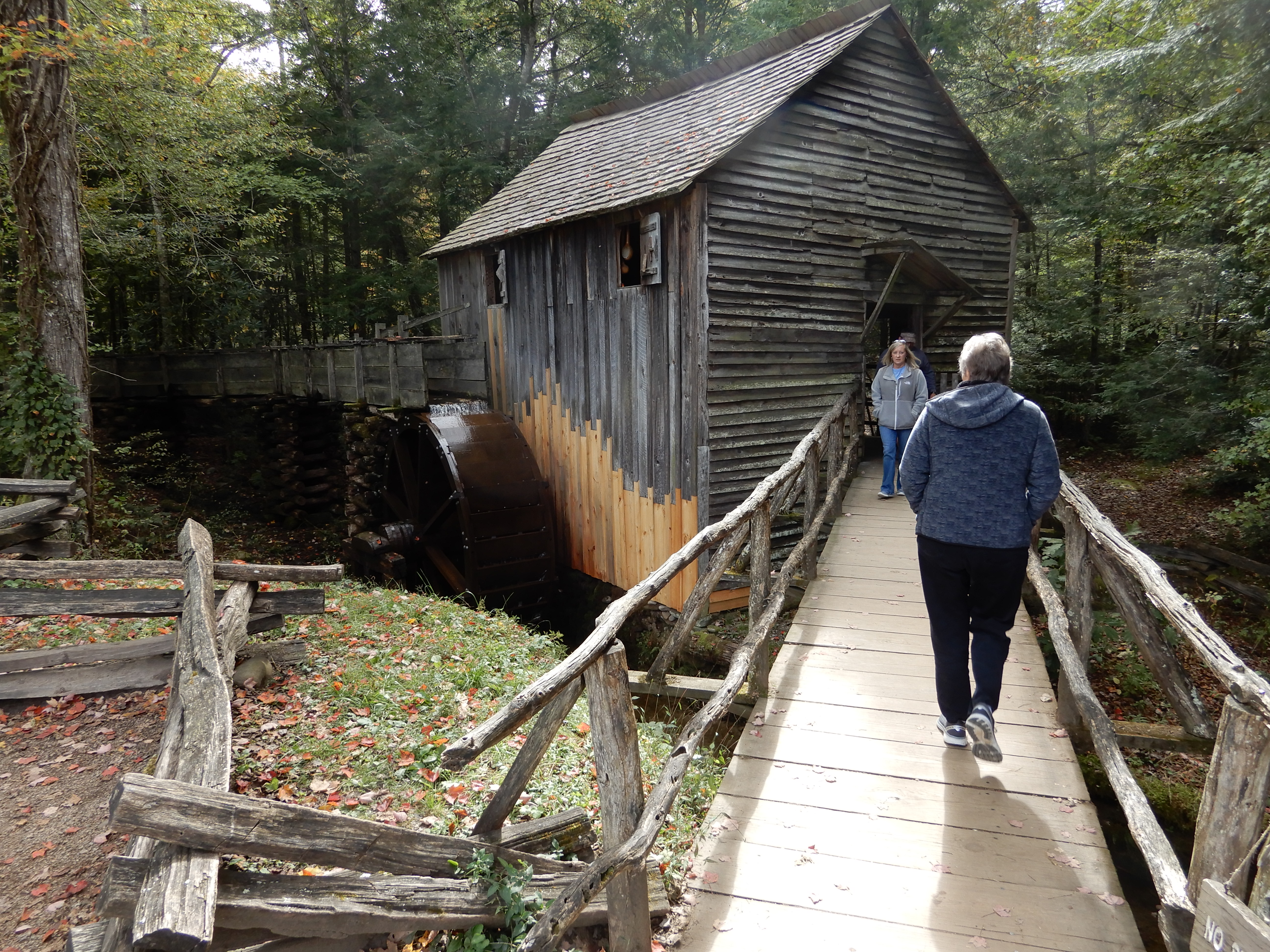
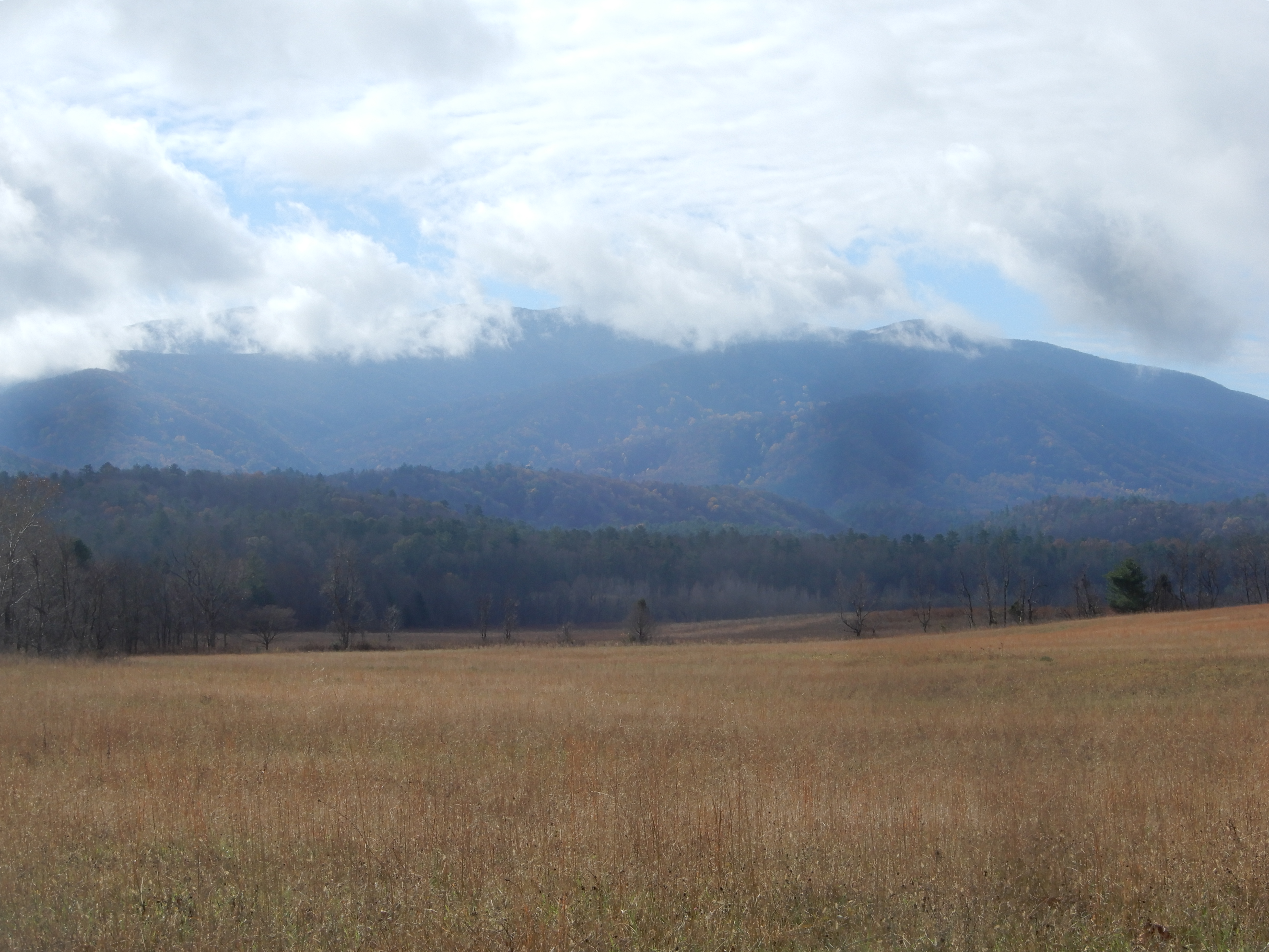
Plenty of wildlife in Cades Cove.
We even hiked a little on the Abrams Falls Trail.
That was enough for one day, so we returned to our site and relaxed.
American Location 25: Cades Cove Campground, Great Smoky Mountains National Park, Tennessee – two hikes and the end of the camping trip
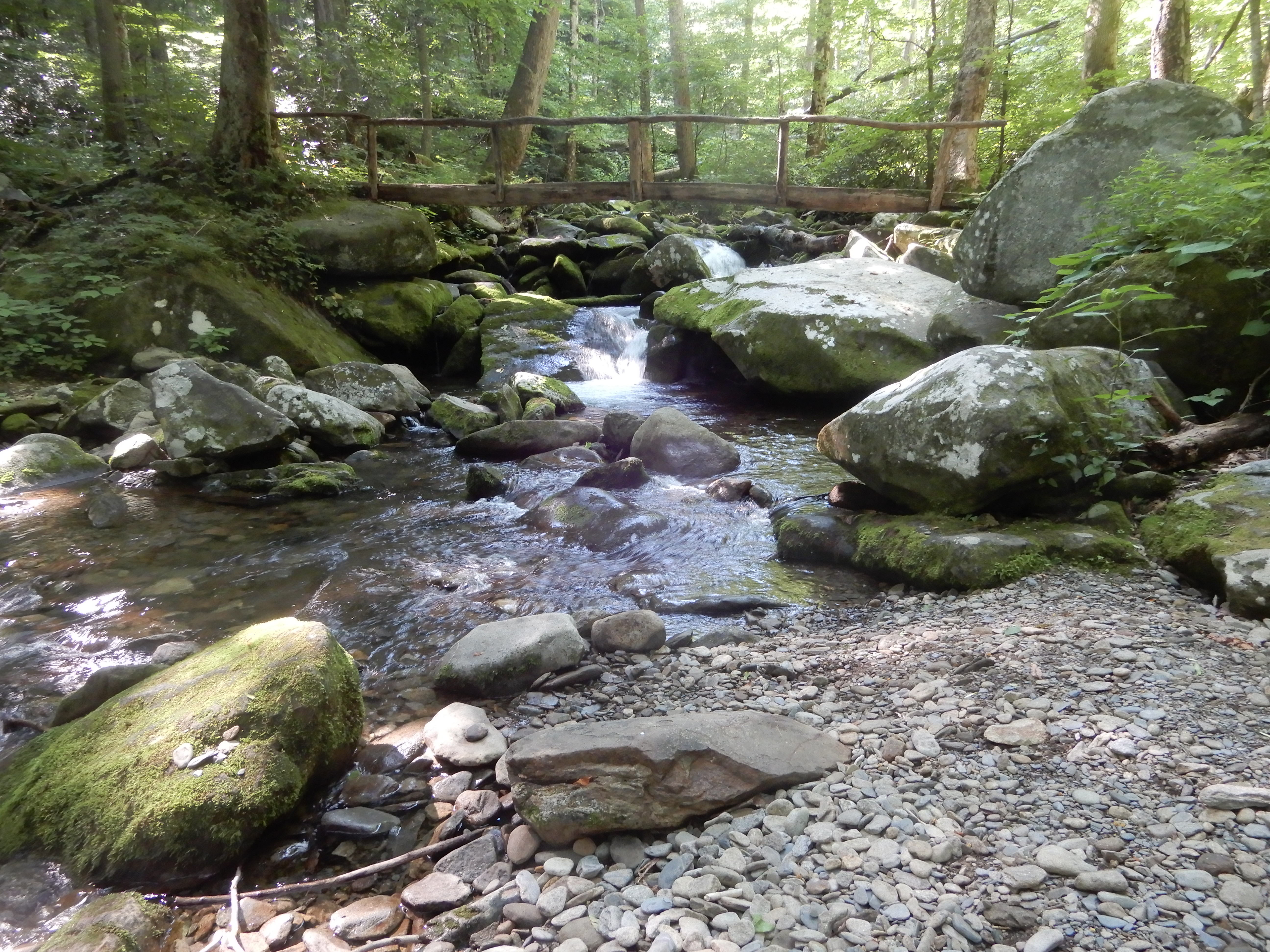
I took 2 hikes while camping in Cades Cove. A long one and a short one. The long one, about five miles, started in the campground.
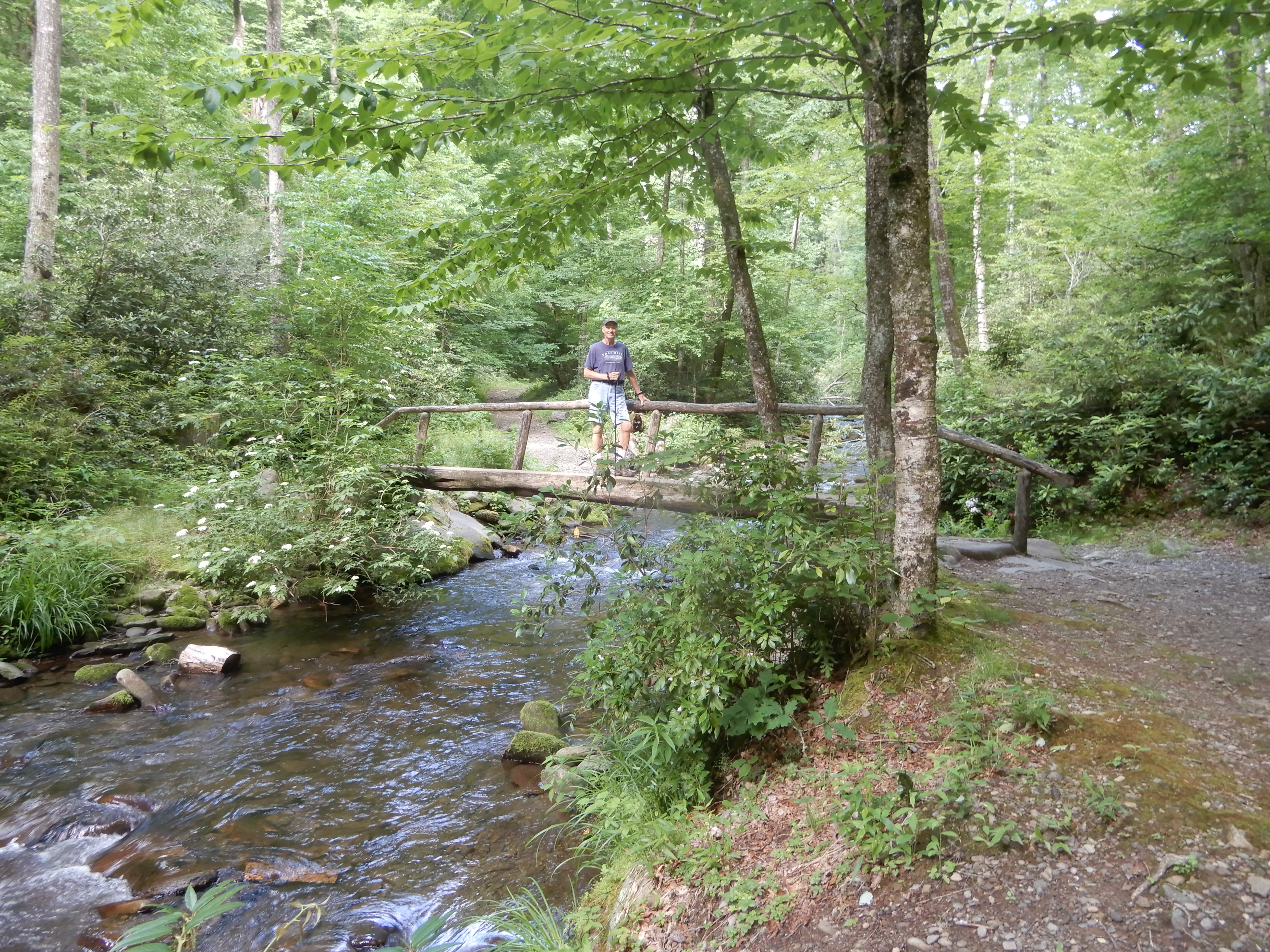
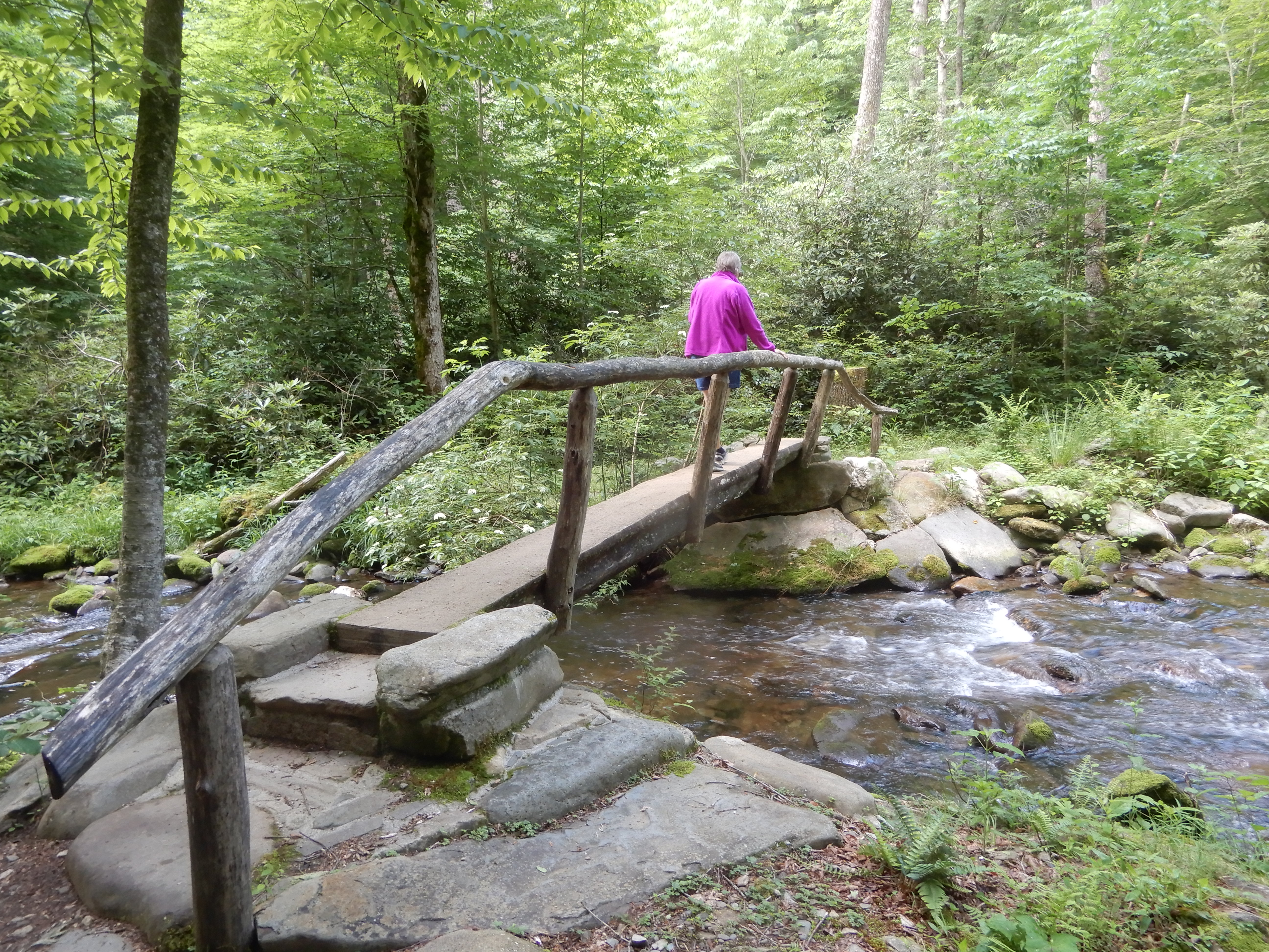
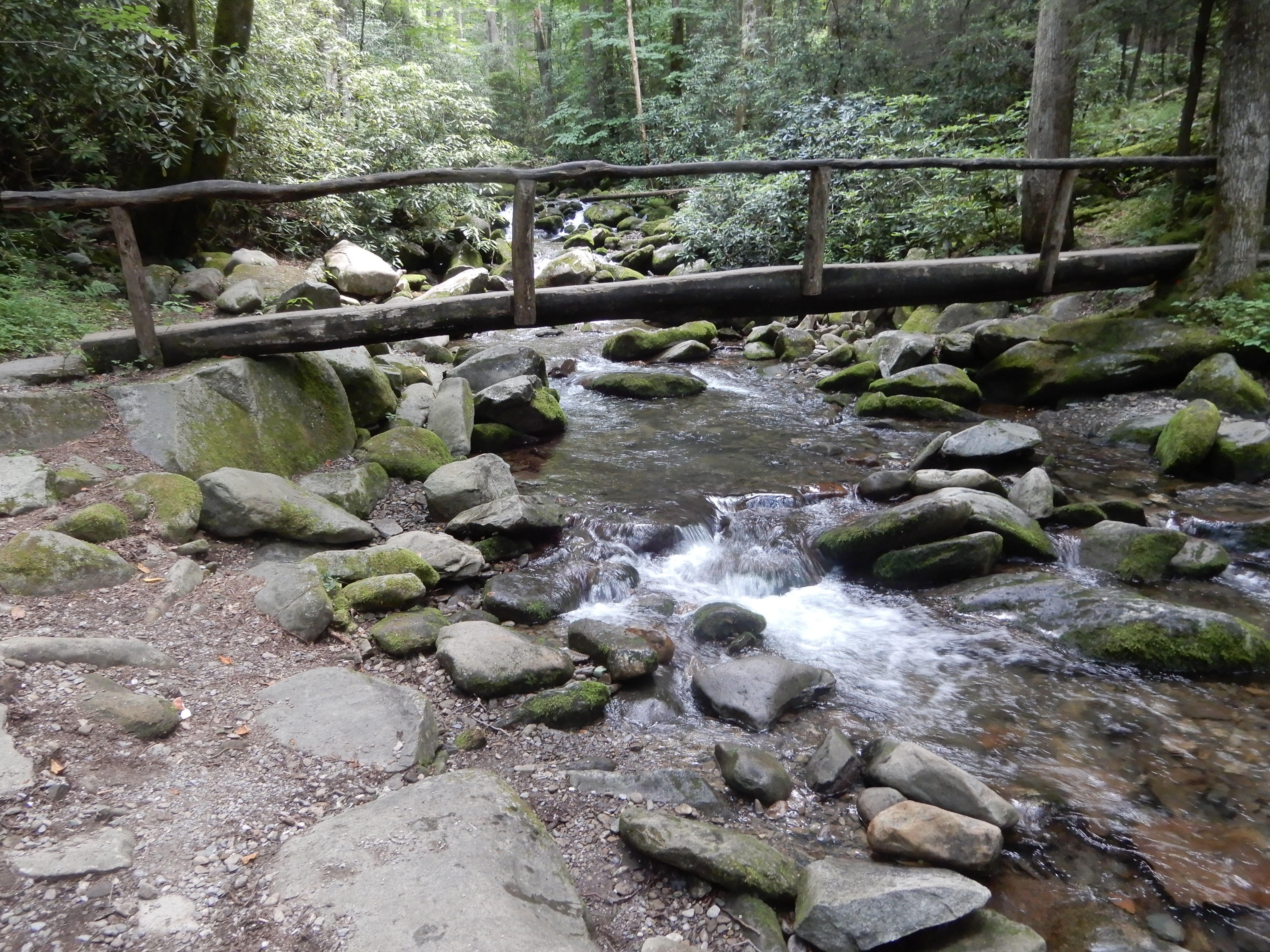
Naturally, I crossed one of the park’s iconic log footbridges.
And another. Another. And another.
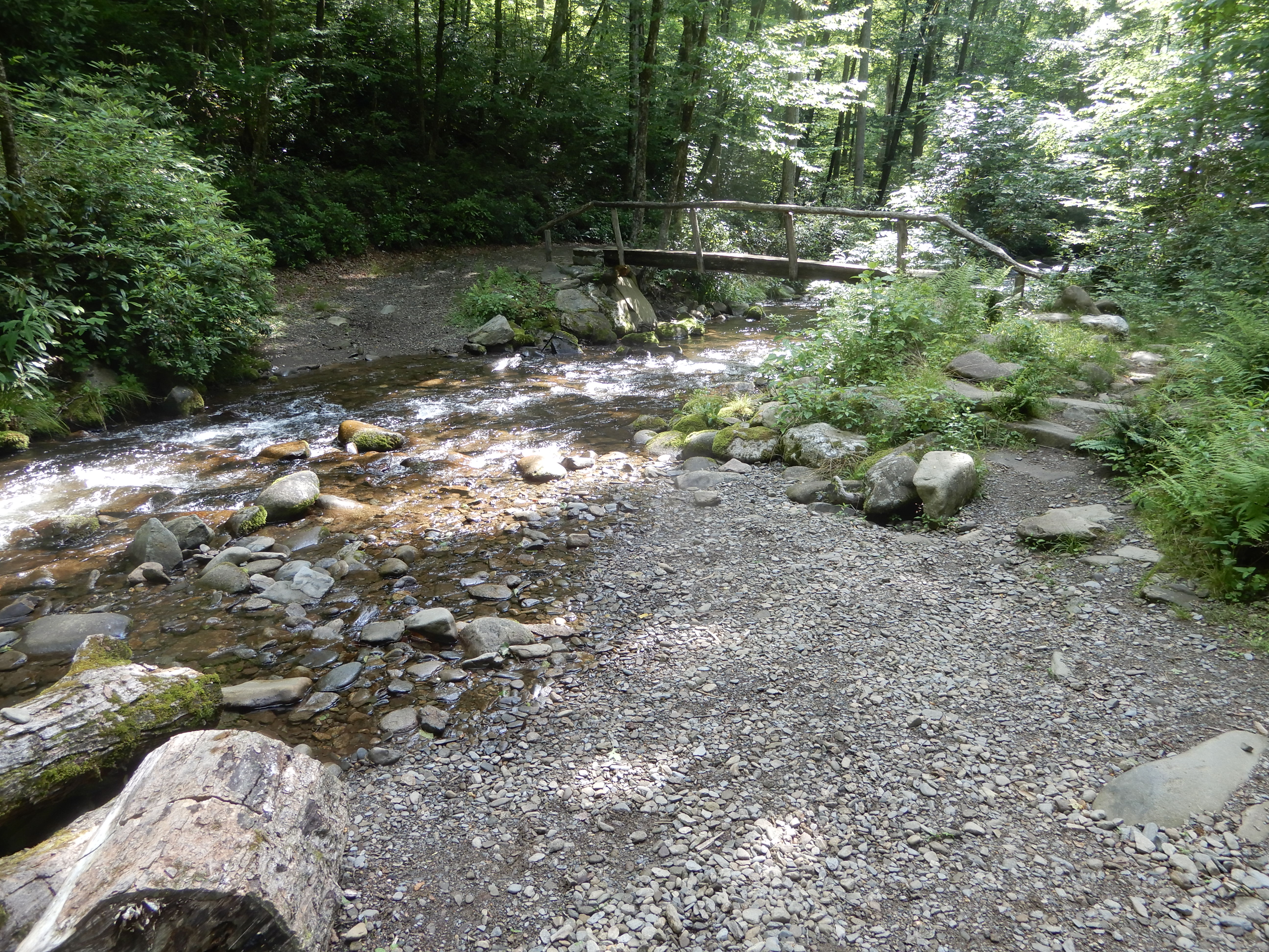
I especially like this one. Here the trail joined a horse trail. There was a footbridge for hikers and a shallow ford for horses.
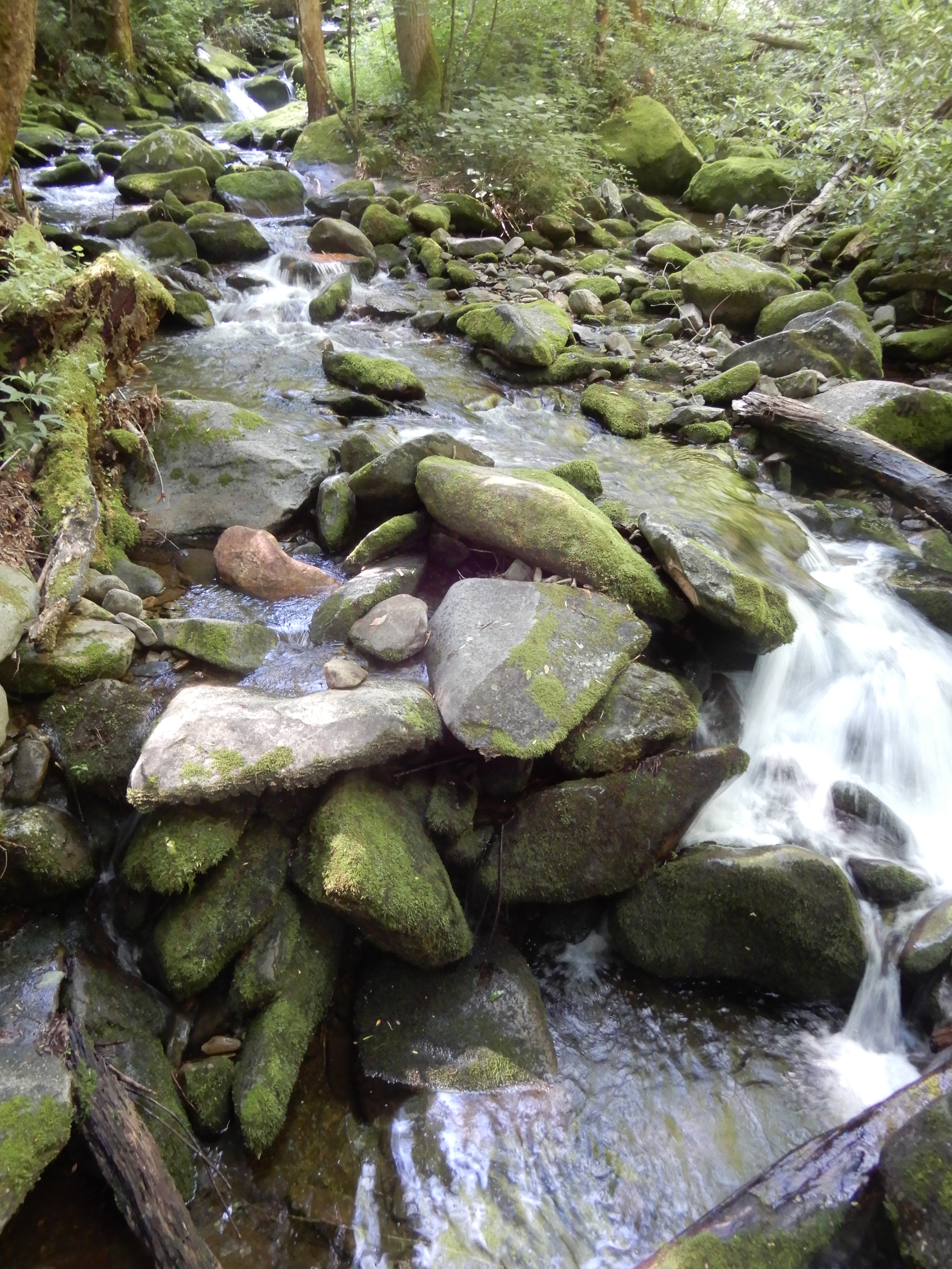
The trail took me high up a mountain.
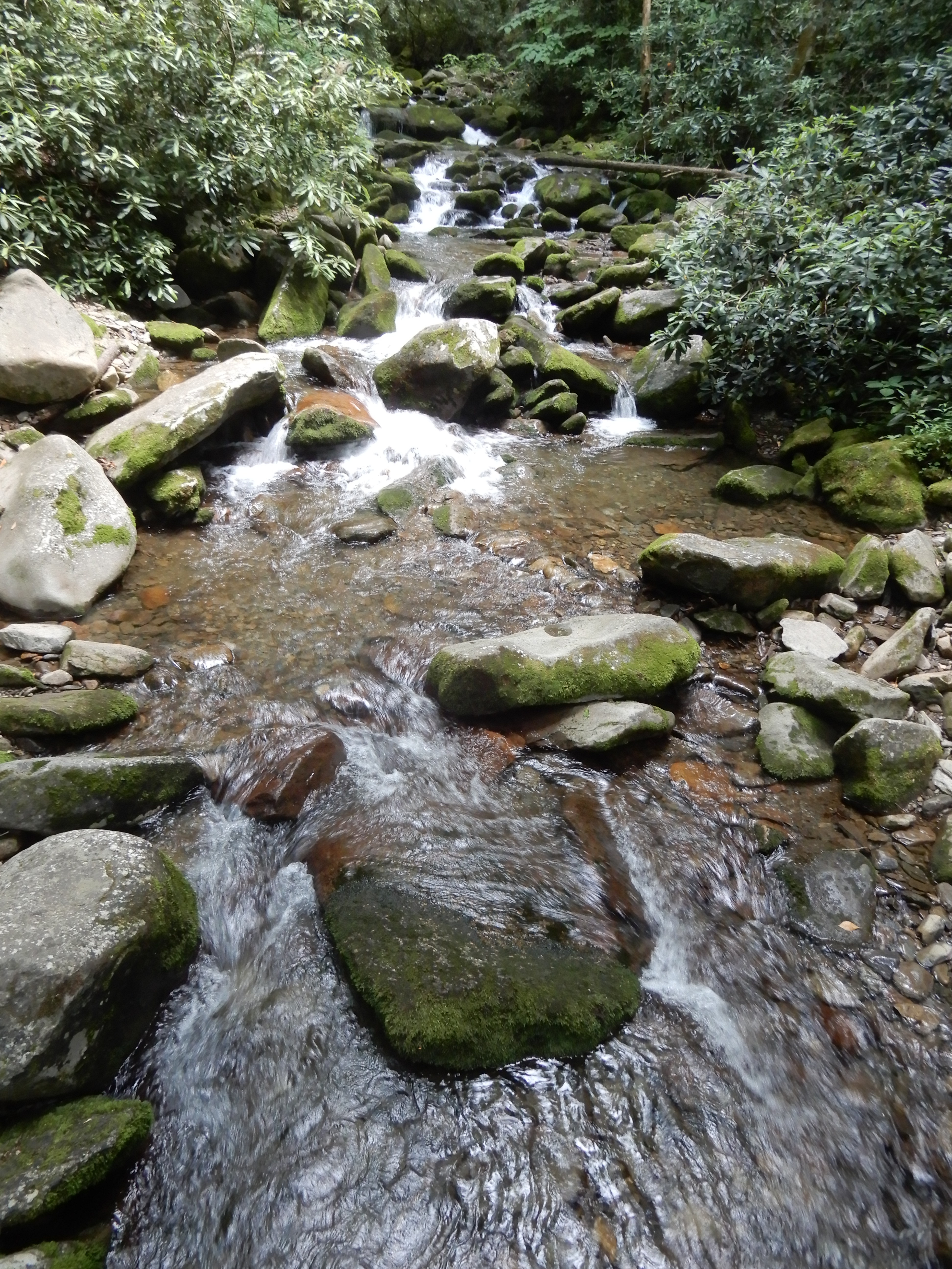
Coming down off the mountain on its other side, I ended up following a larger stream back to the campground.
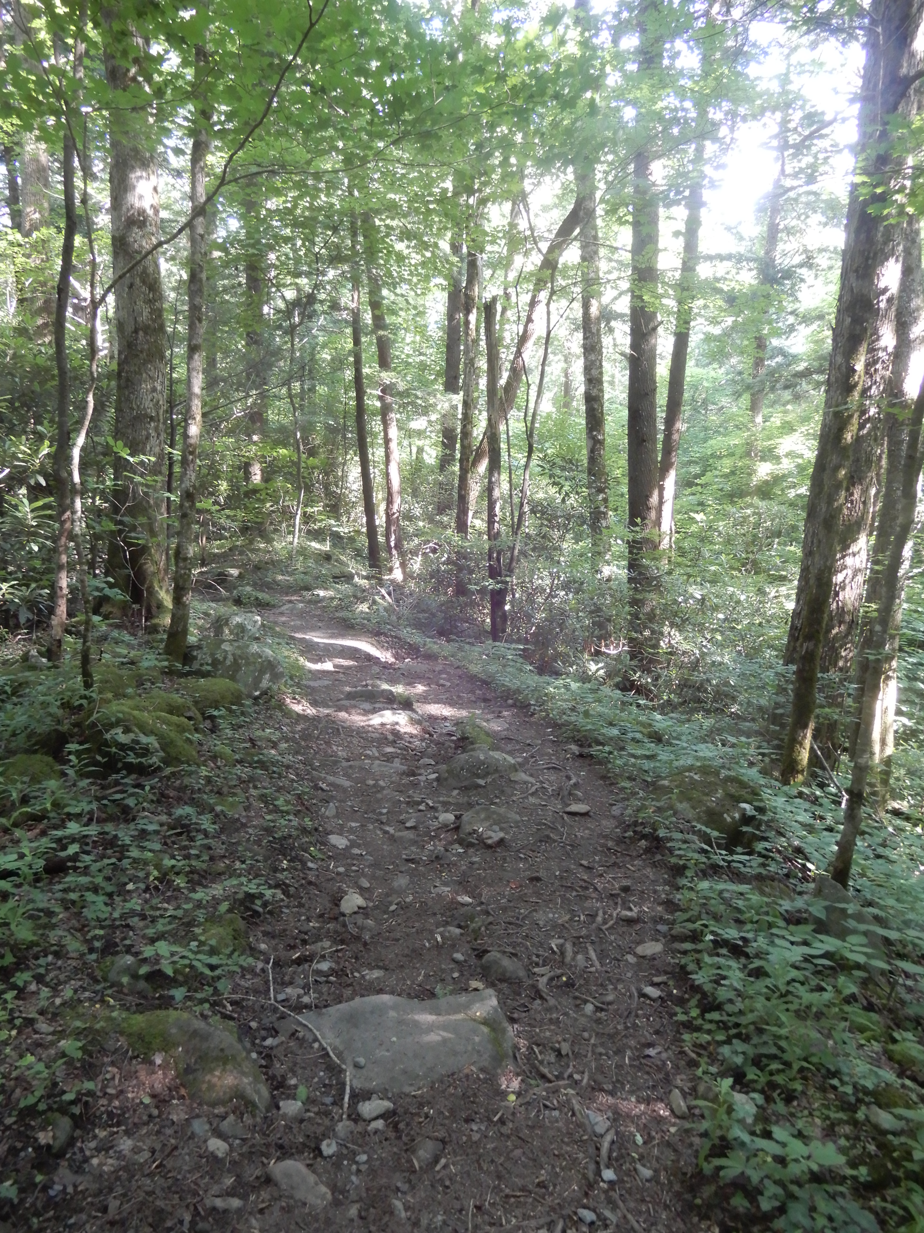
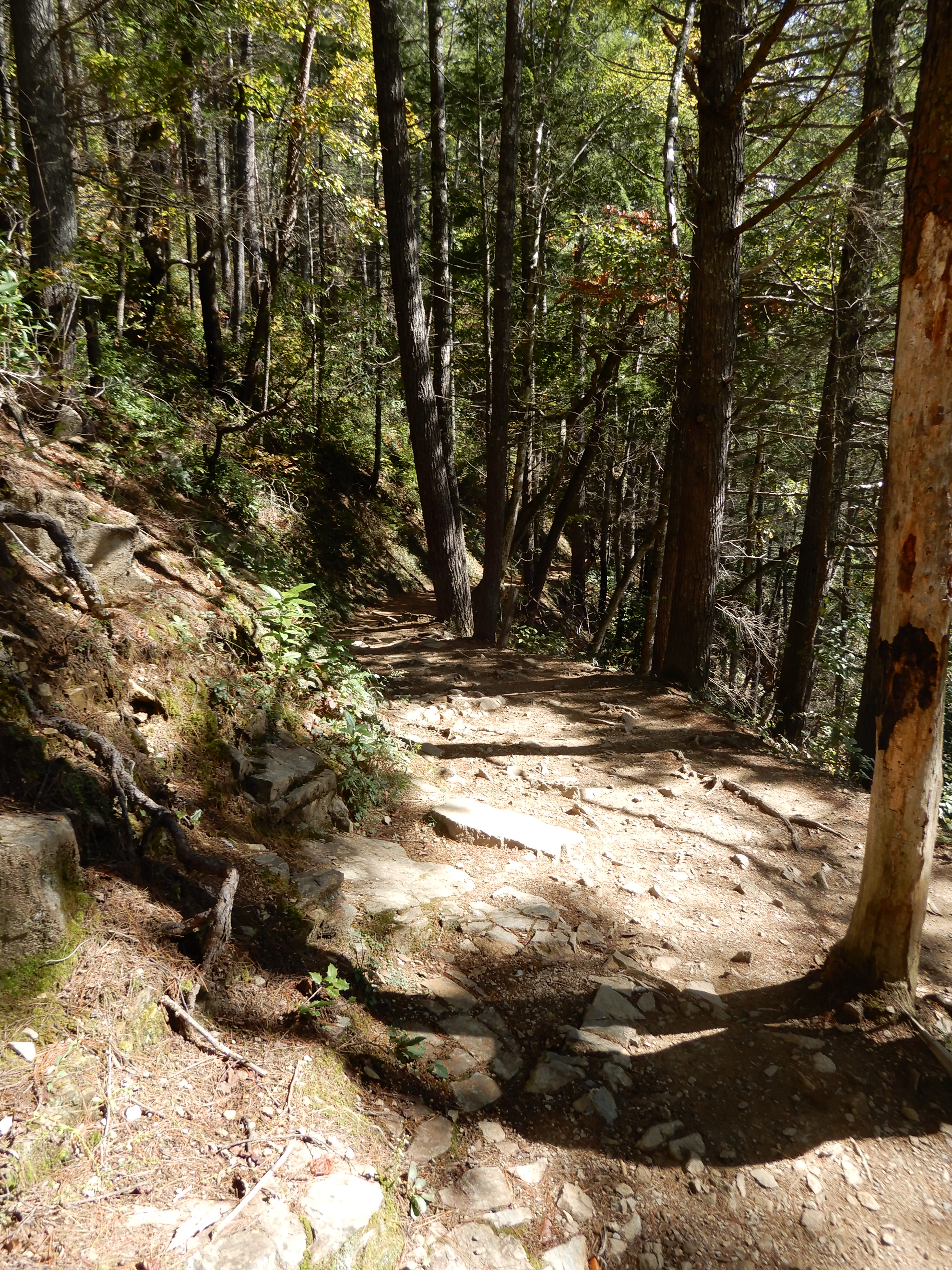
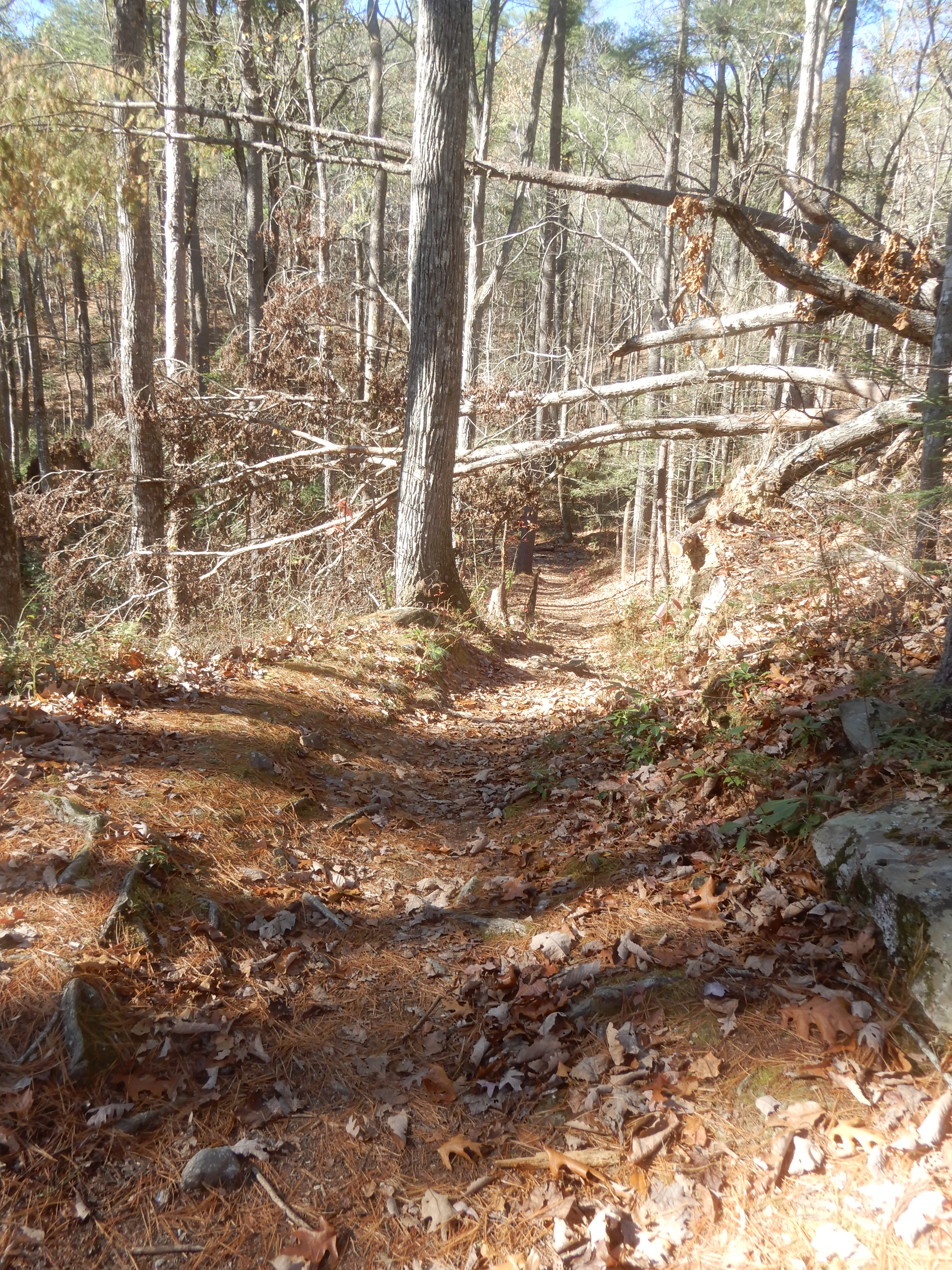
The shorter hike began off Laurel Creek Road just outside the campground. It began gently enough.
The sky had cleared and it was a pleasant sunny day.
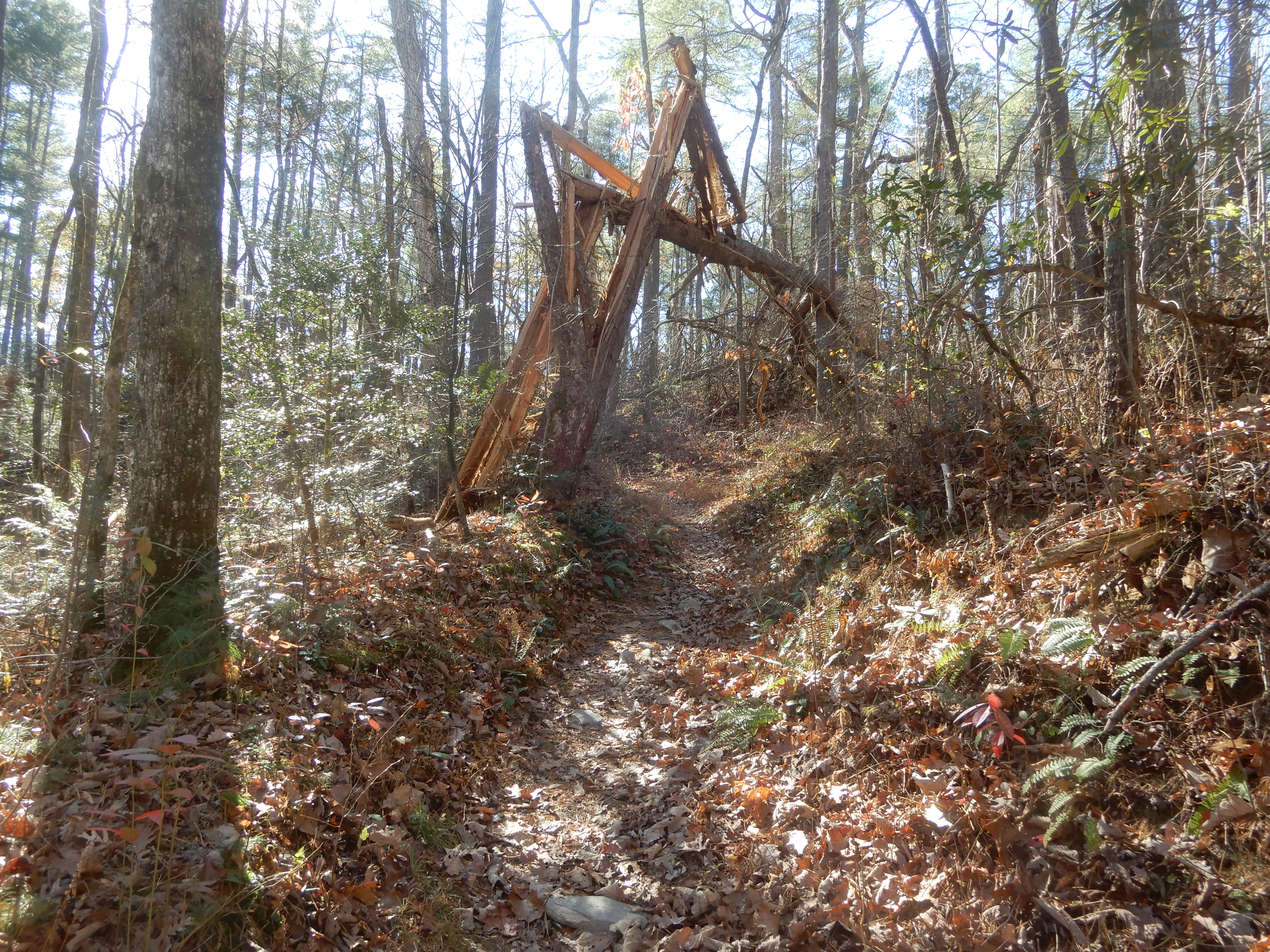
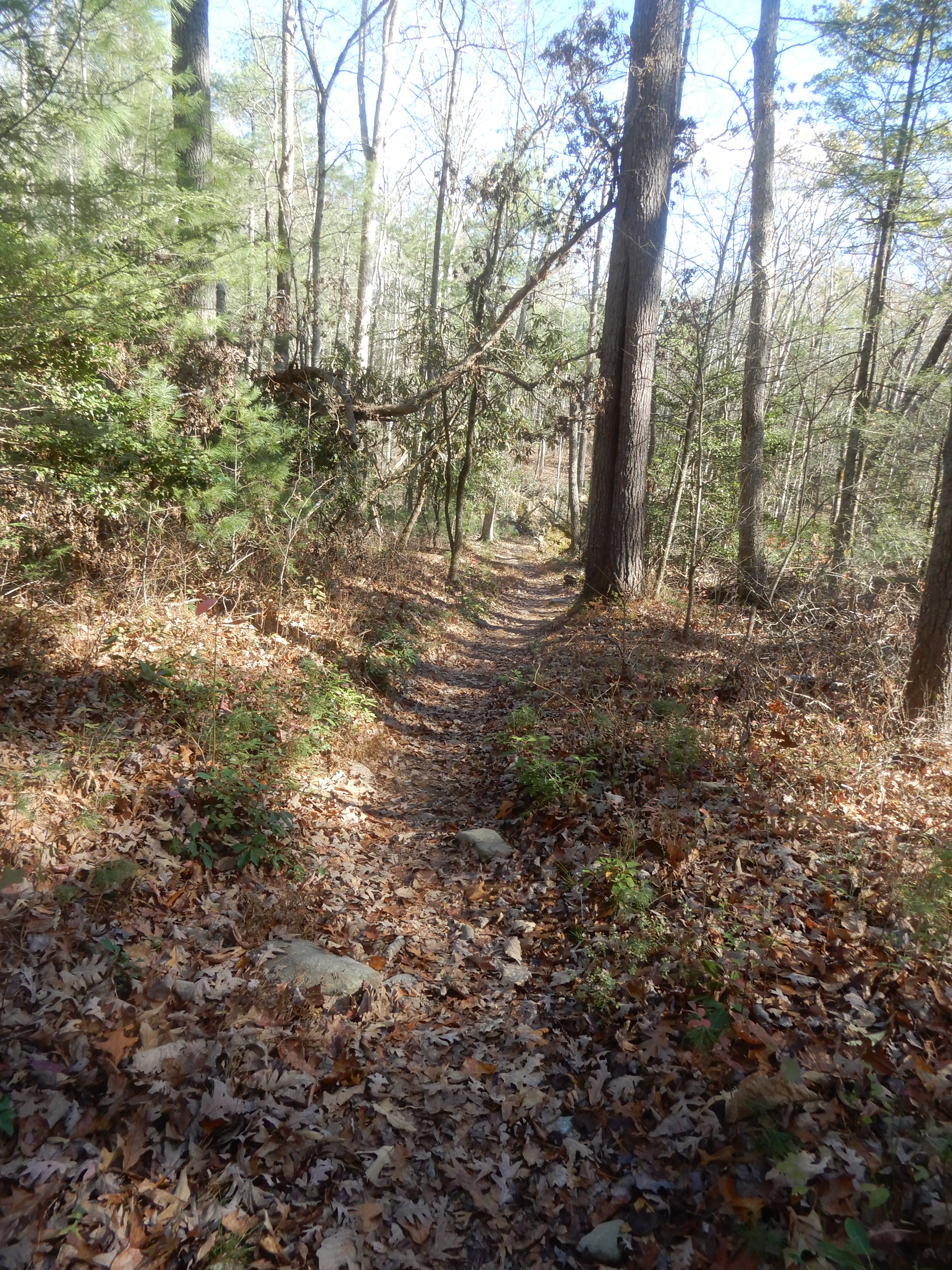
The trail started up the mountain.
But I didn’t get very far up it. Someone ahead of me on the trail yelled at me that there was a bear on the trail. I hadn’t seen it, but once I looked I did. It was plopped down right across the trail.
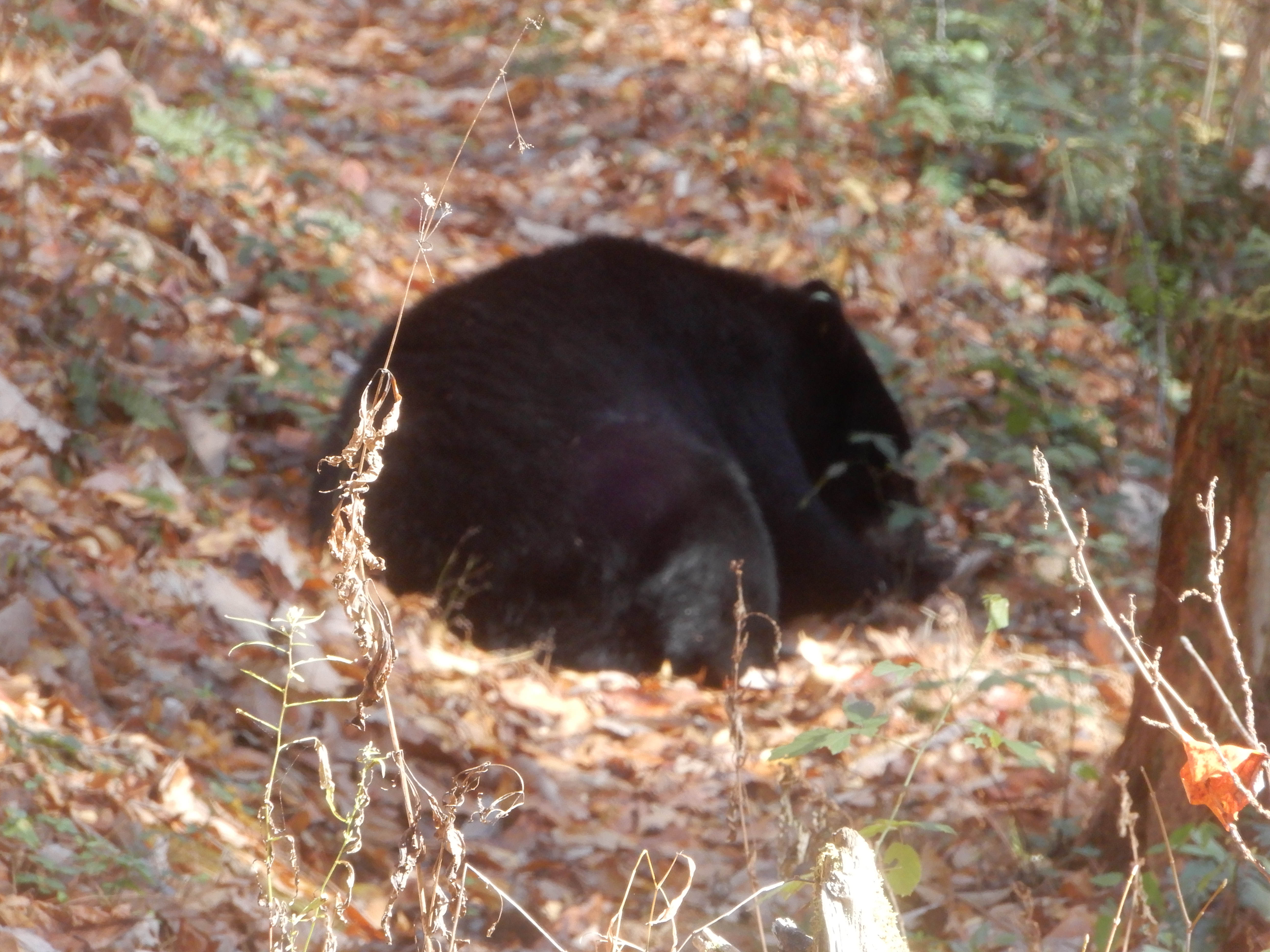
The yelling must have awakened it.
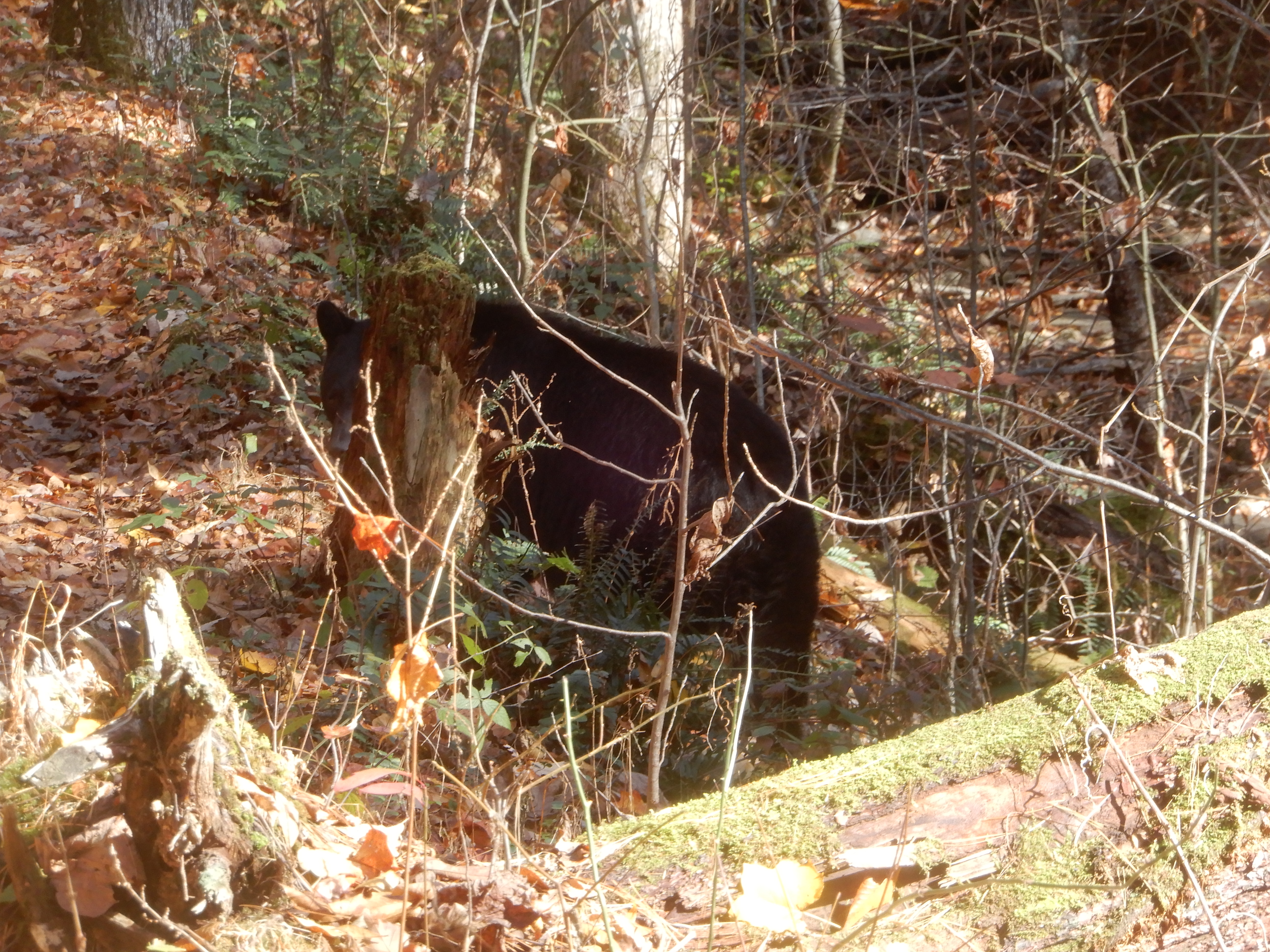
Since it was awake, it started munching on berries. Right next to the trail. The bear didn’t look like it would be leaving soon, So I did. I backtracked and started up the mountain in the opposite direction.
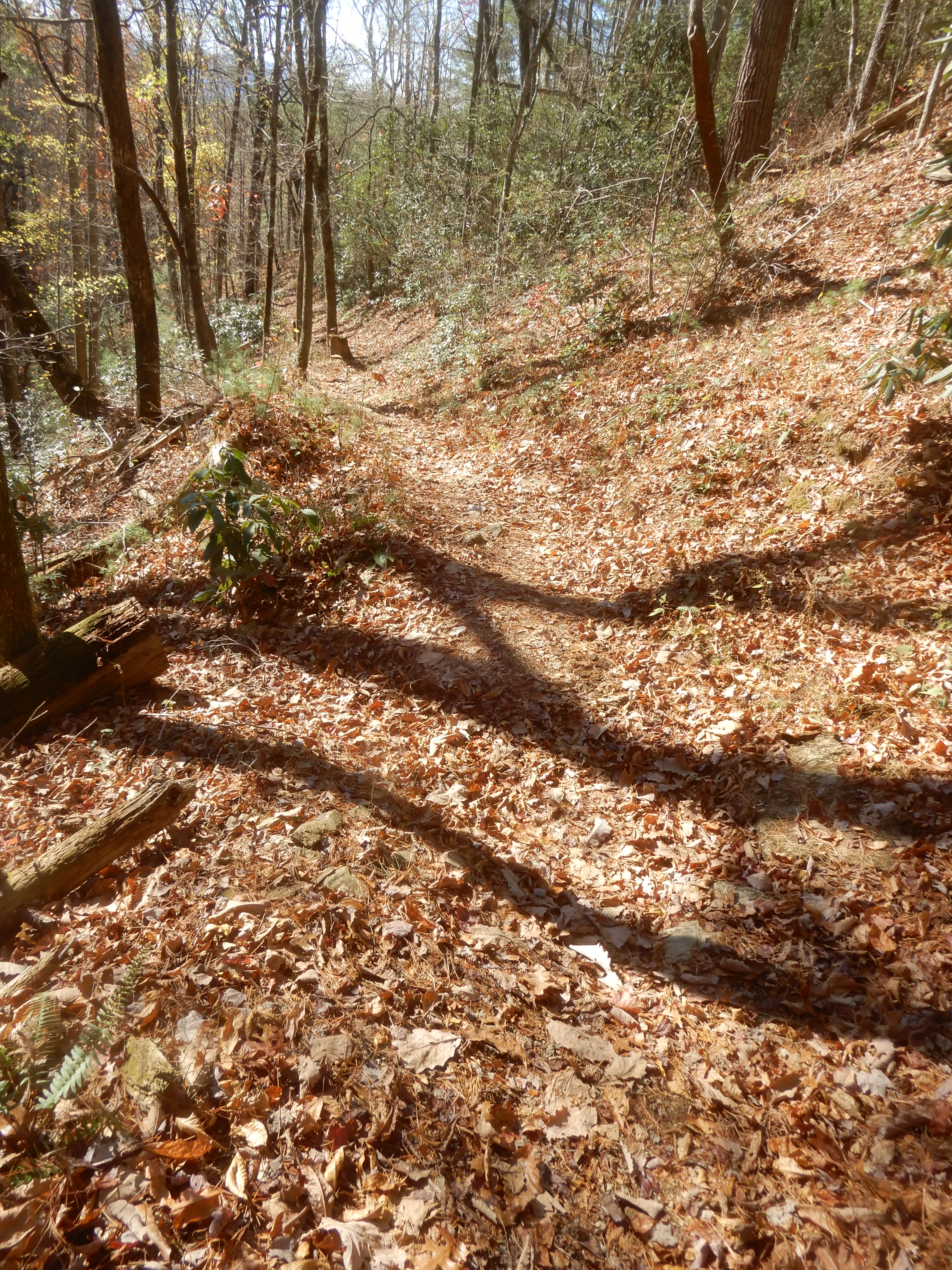
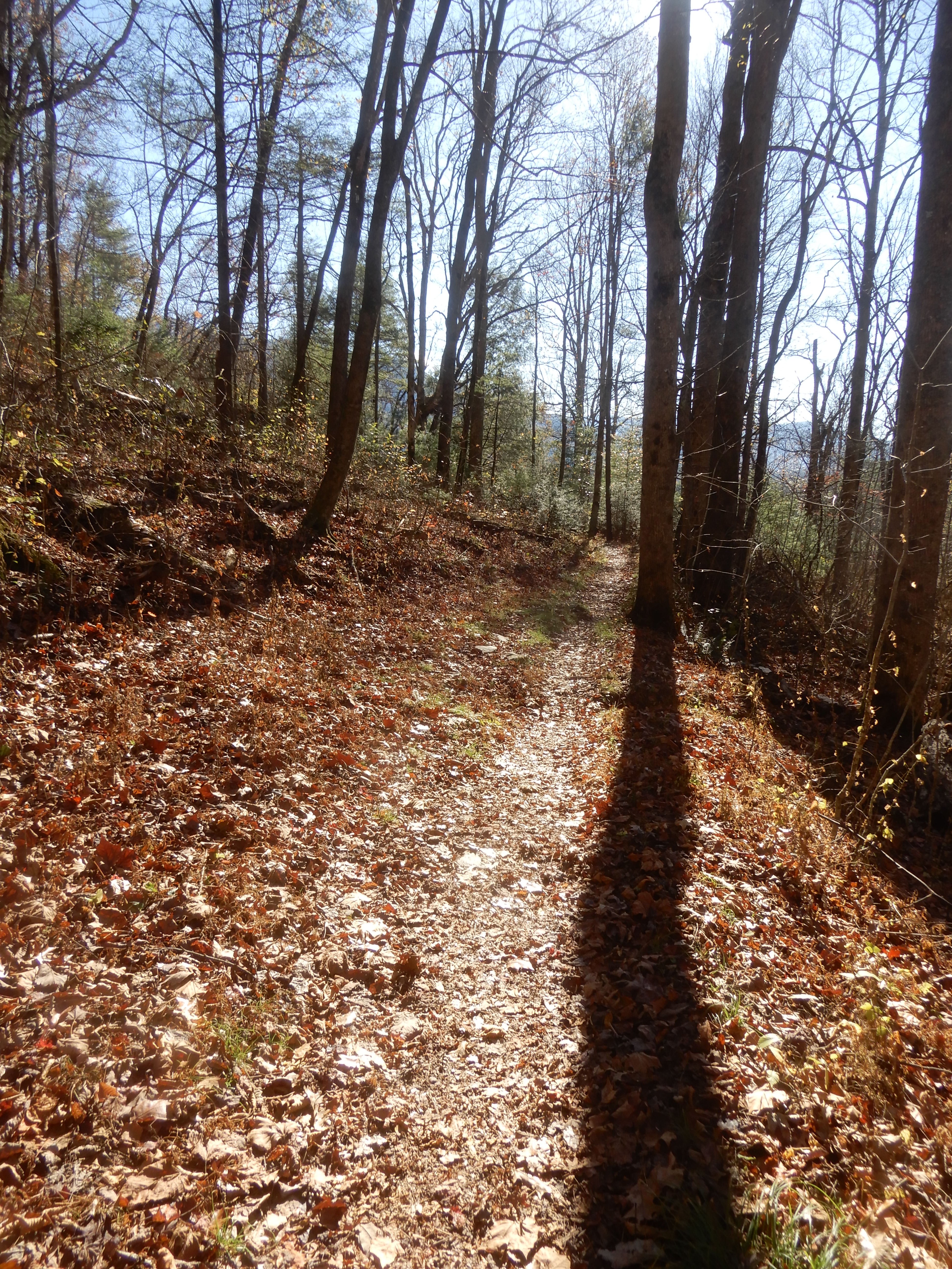
The trail would have eventually looped back around where the bear was. As you can tell by the shadows, the day was getting late. If I continued on to where the bear was at, and it was still there, then I would have to backtrack all the way around to get back to the campground. Which meant I would be on the trail in the dark. I didn’t even have flashlight with me. The bear probably would have been gone by then, but I didn’t want to chance it. So after a while I backtracked again until I came to an open field, where I could see the road. And a lot of horses.
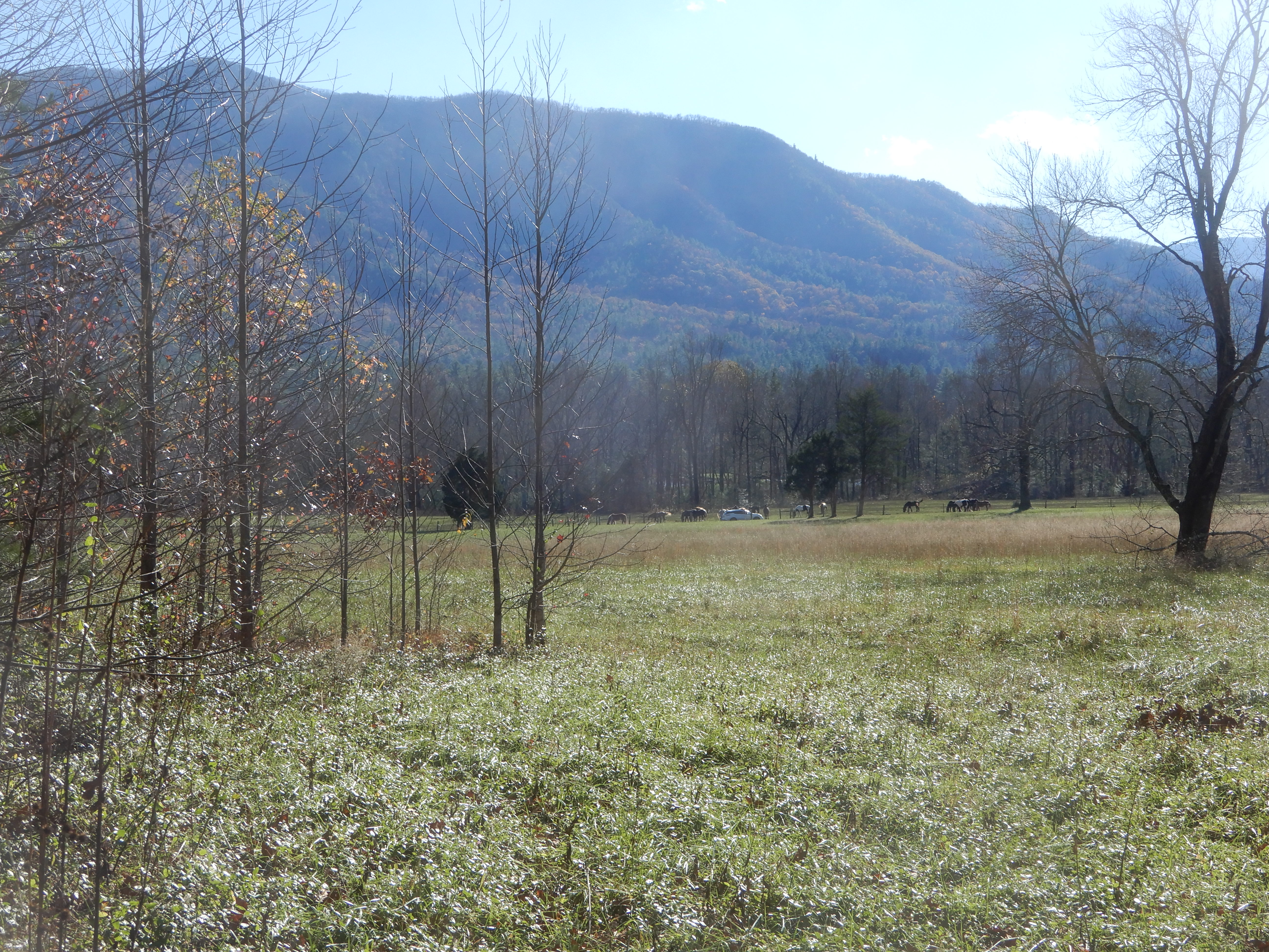
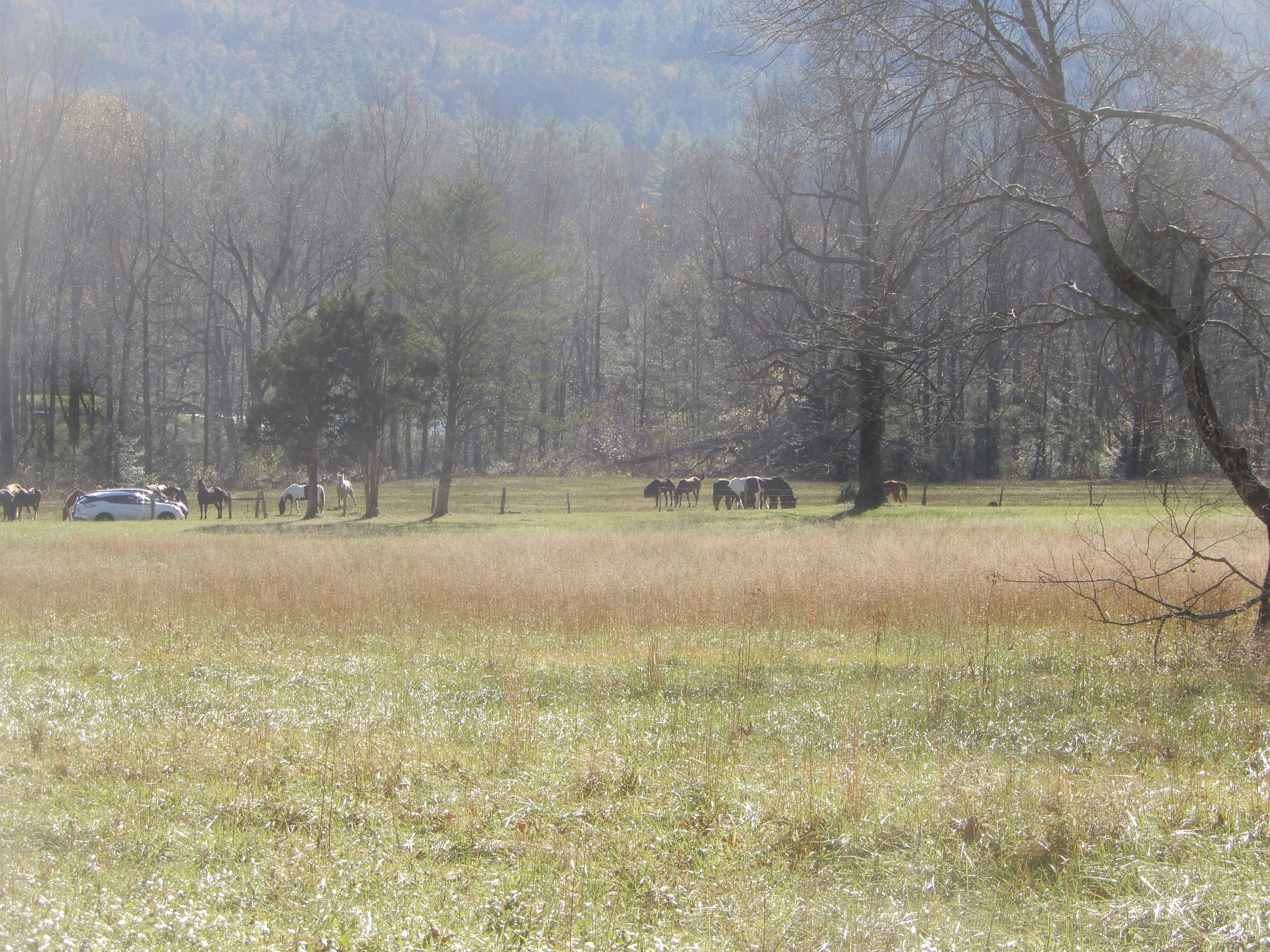
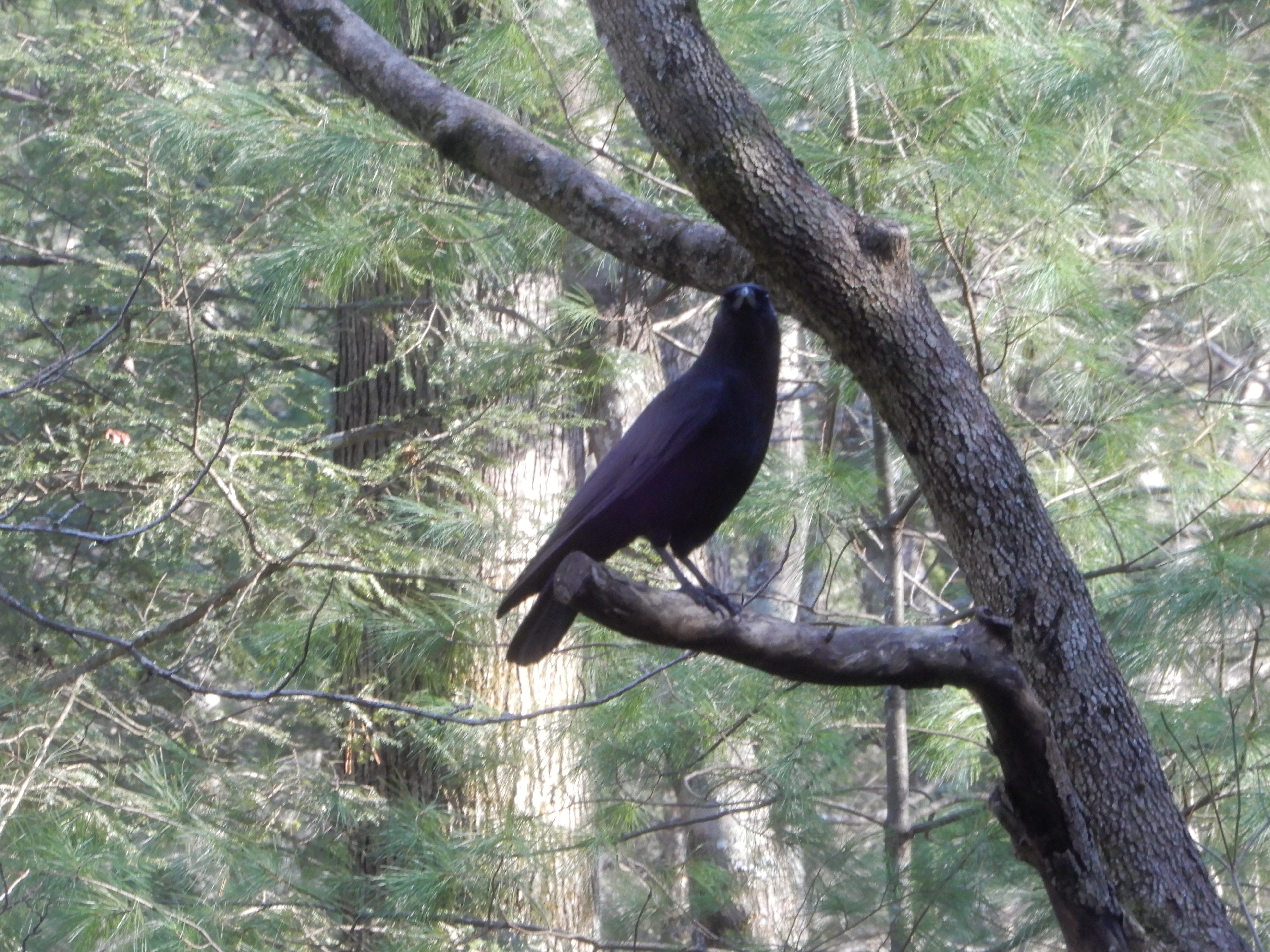
I passed this bird on the way out to the field.
Then I crossed the field and walked down the road back to the campground.
We camped 3 days in Cades Cove, then headed for home. It was a rainy day.
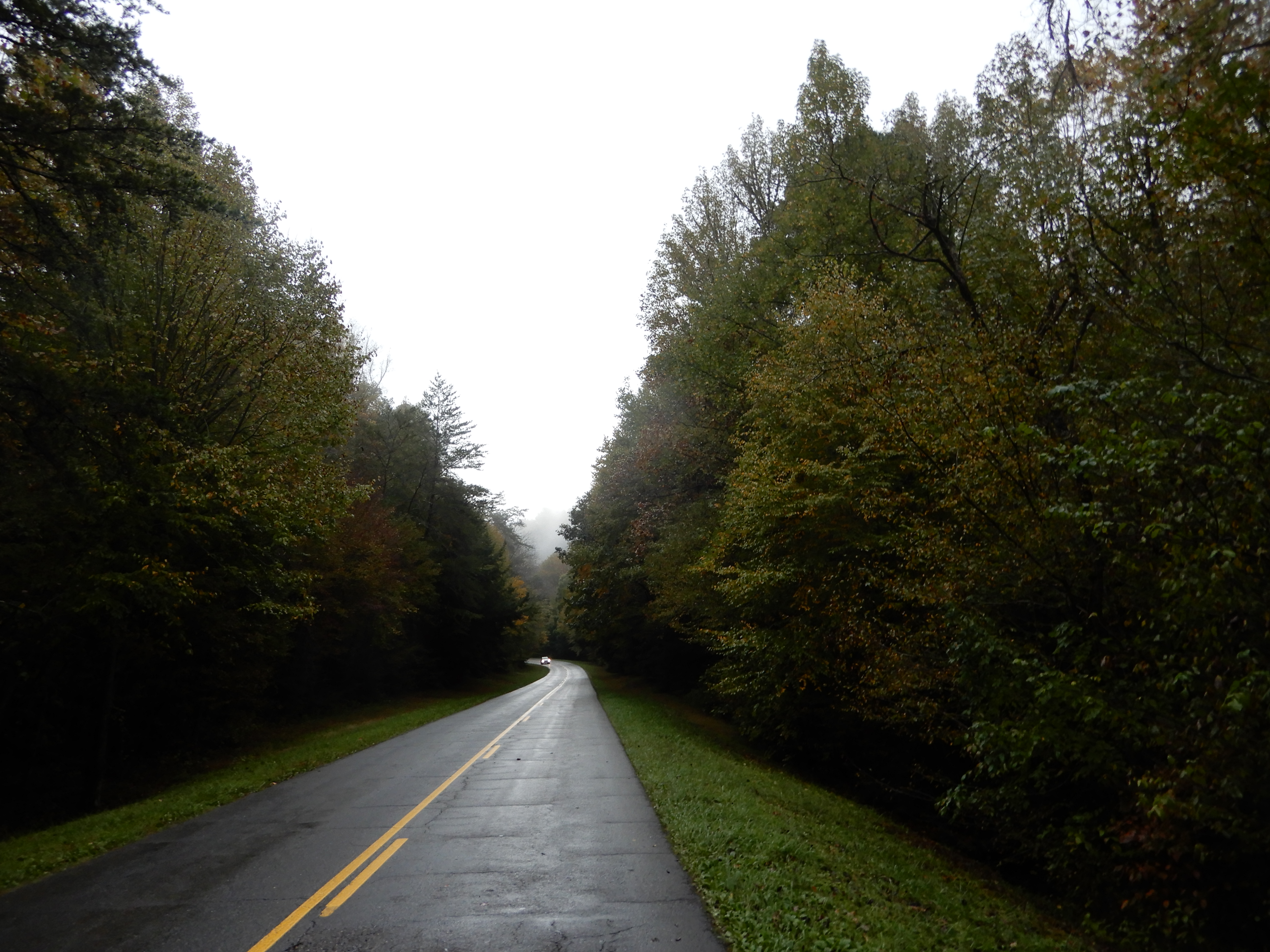
With low clouds.
We left the park and took the bypass around Gatlinburg.
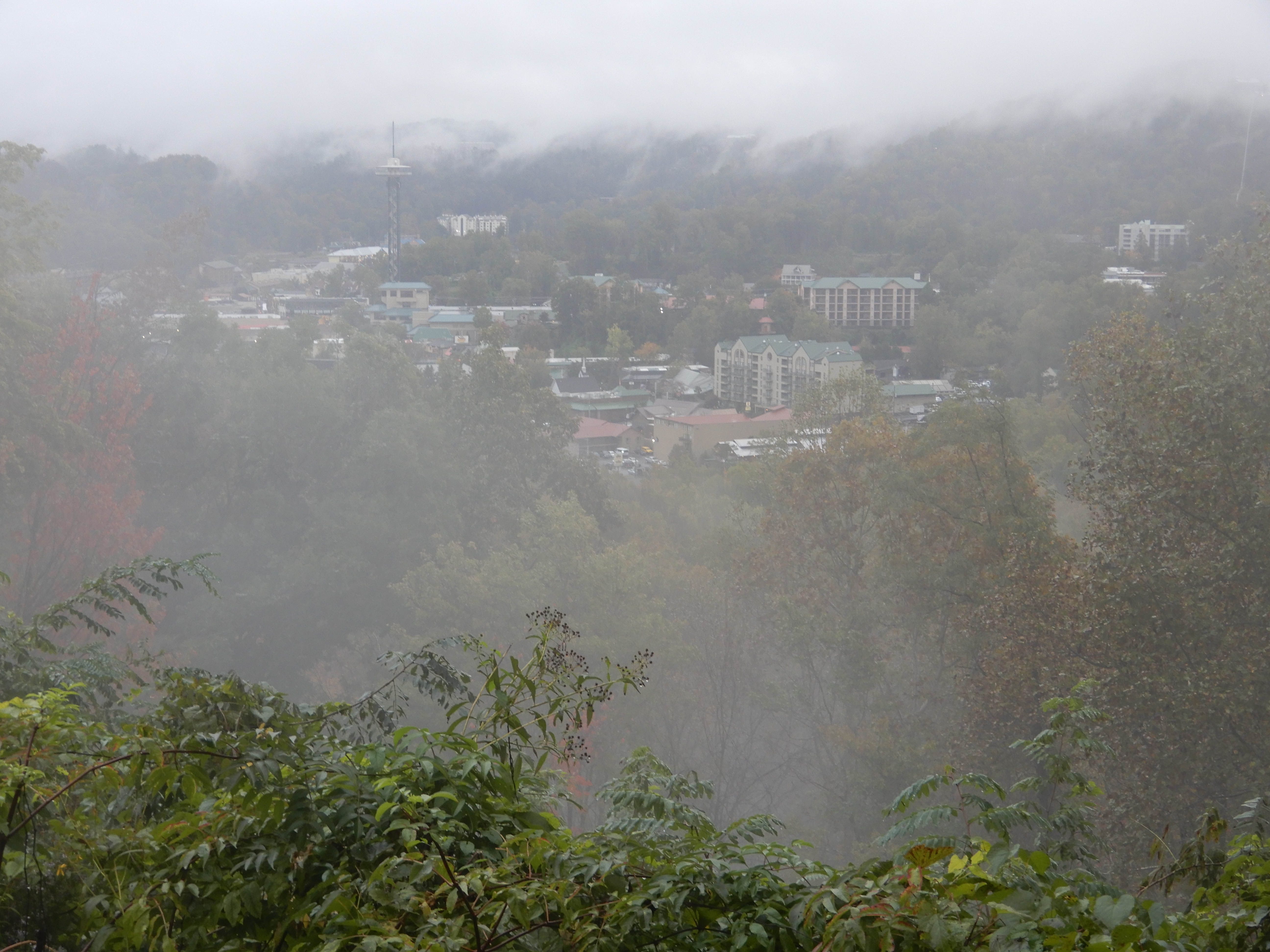
And were on our way home.
